Post by Karl Welteke on Sept 17, 2013 12:54:22 GMT 8
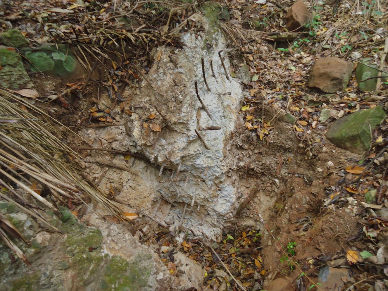
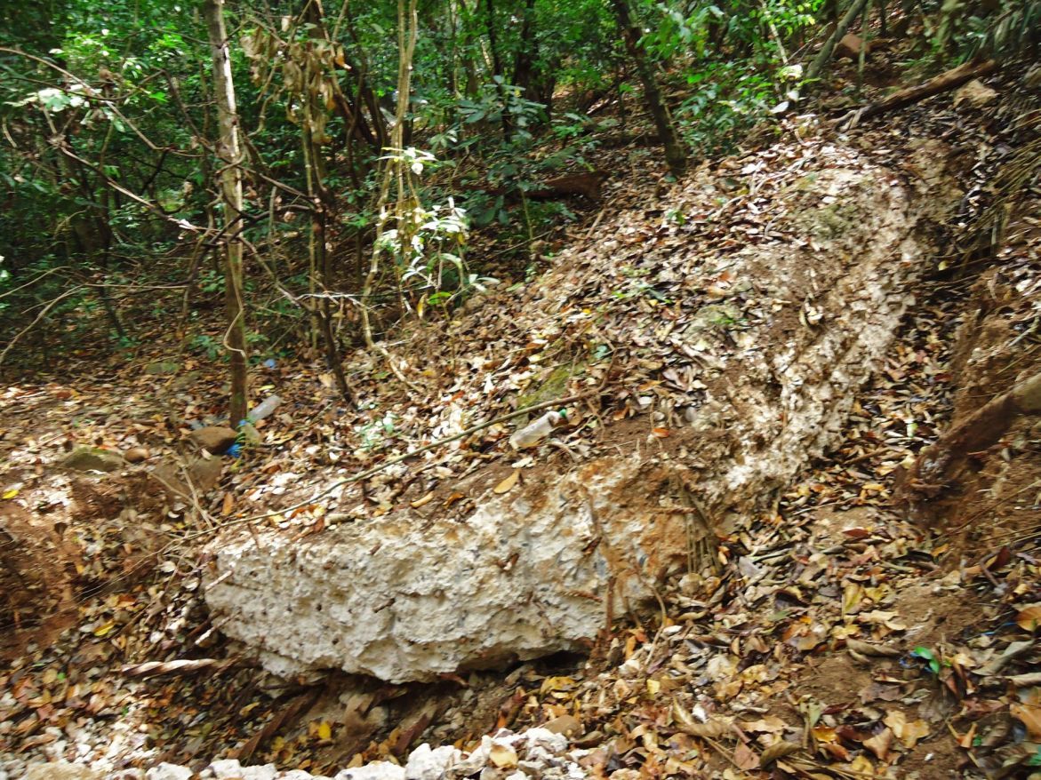
ROCKSLIDES, SOUTH SIDE OF MALINTA HILL
FIRST DAY OF CORREGIDOR VISIT 2013-02-11
Mariveles to Corregidor, South-Shore Road around Malinta Hill.
My plan was to meet up with fots2 and Phantom and for me to stay one week.
The trip from Mariveles to Corregidor is covered in the previous segment. Tom Aring and fots2 had not arrived yet and I arrived in the afternoon. So I went around the south side of Malinta Hill to check on the recent reported rockslides.
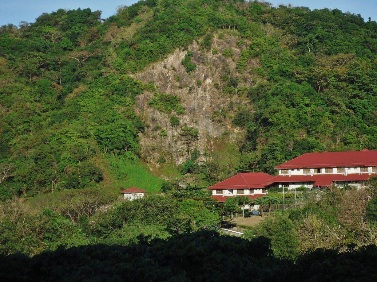
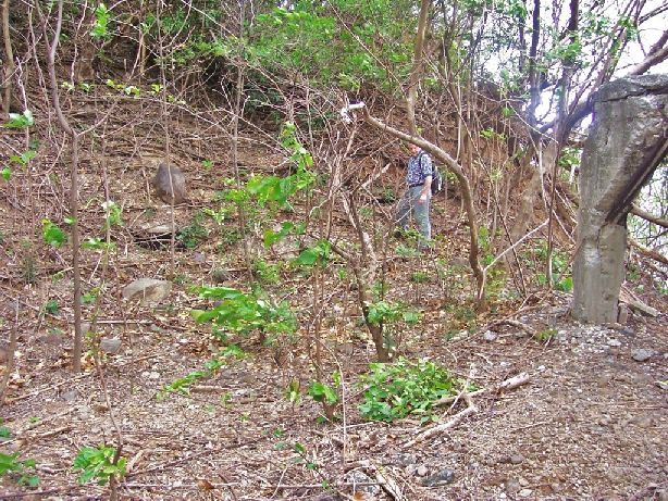
The Rockslides are substantial and they make clear that the South-Shore Road around Malinta Hill would be hazardous to public use.
In this album, about the rockslides on the South-Shore Road, around the south side of Malinta Hill are 52 images.
s74.photobucket.com/user/PI-Sailor/library/Corregidor%20by%20subject/Malinta%20Hill/Around%20Malinta%20Hill/S-Shore%20Rd%202013-02-11?sort=9&page=1
Here are some sample images:
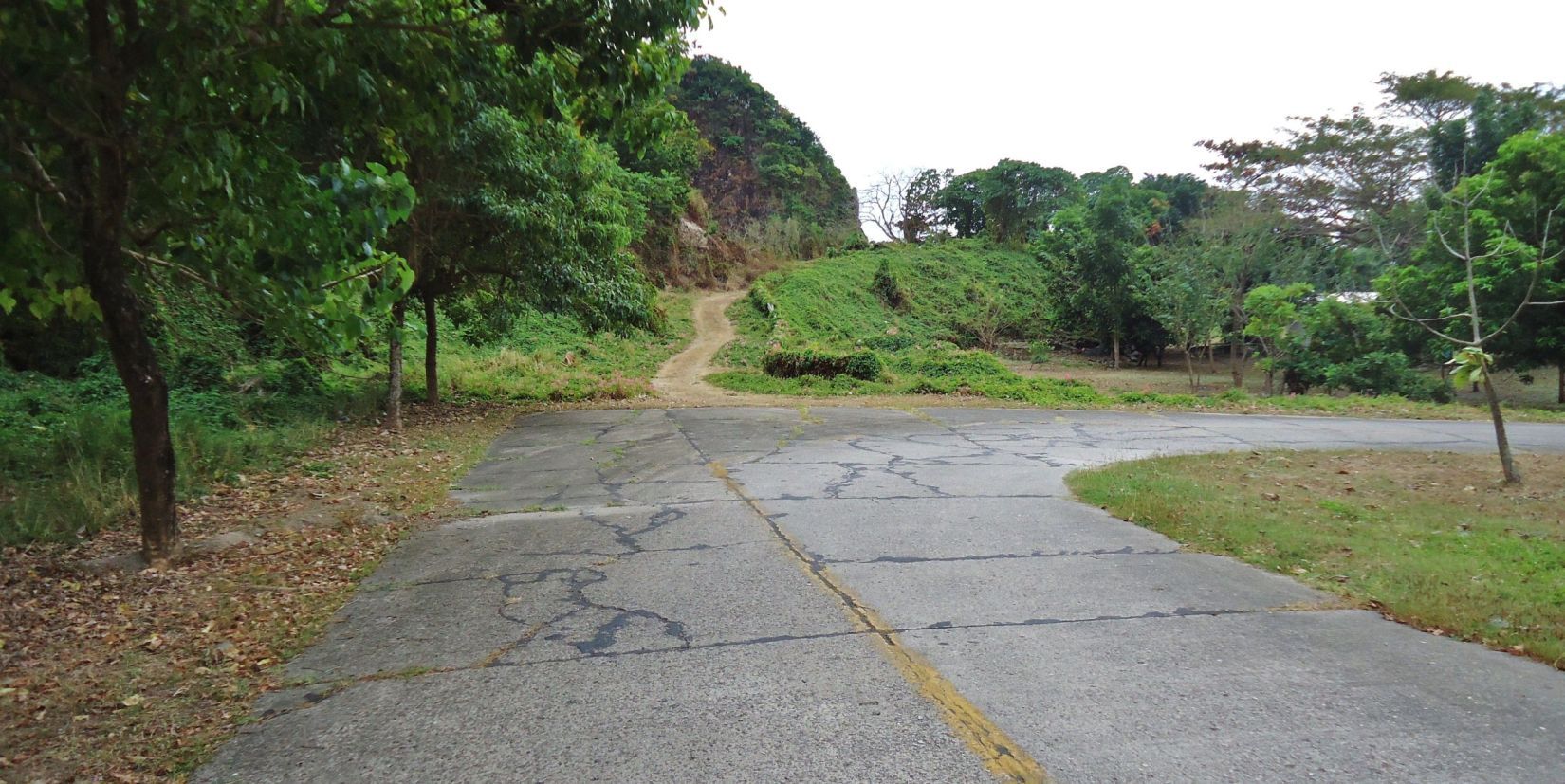
Z587-This is the west side of Malinta Hill on Corregidor. This concrete road comes from Bottomside and continuous behind me to the west entrance of the Malinta Tunnel. Straight ahead is the South-Shore road going around the south side of Malinta Hill.
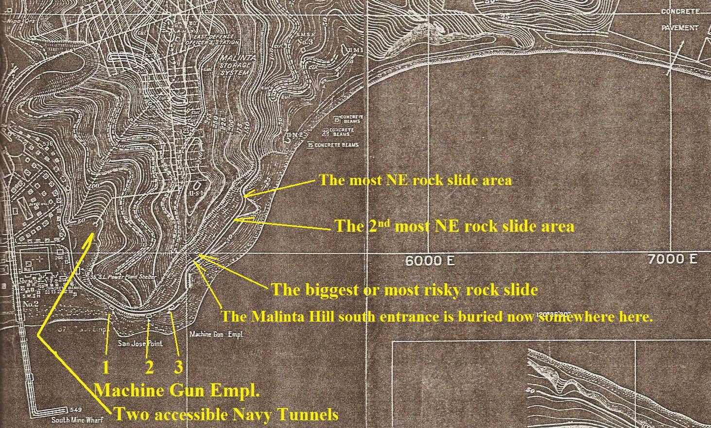
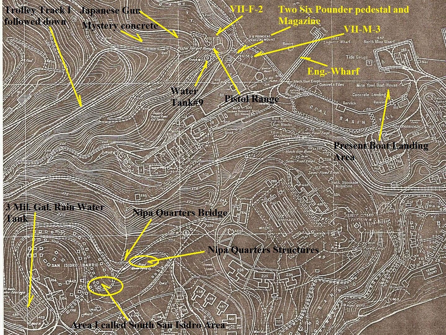
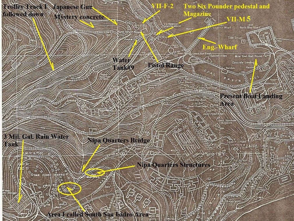
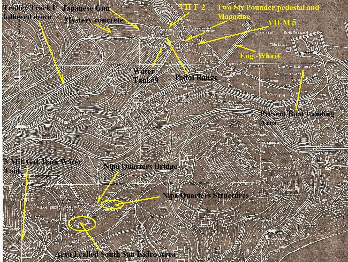
Z588-I marked in the landmarks for this album on this section of the 1936 Corregidor map.
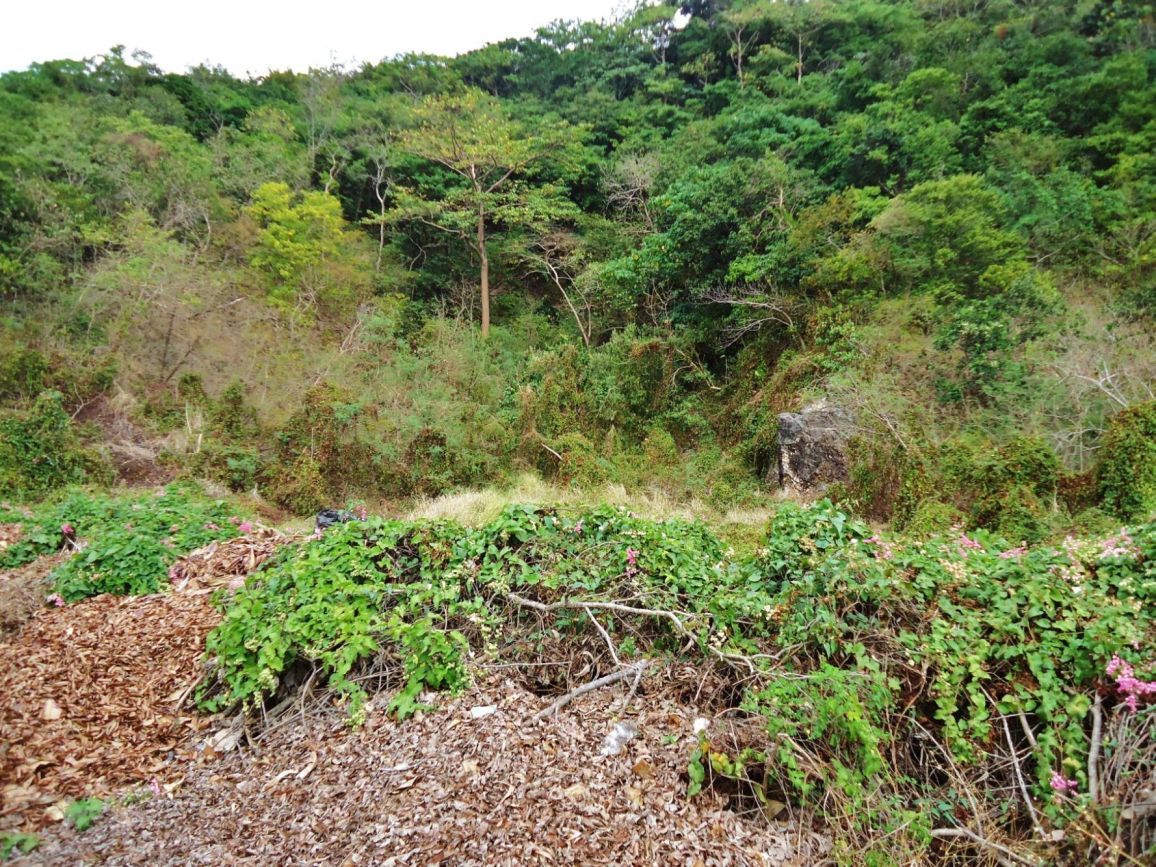
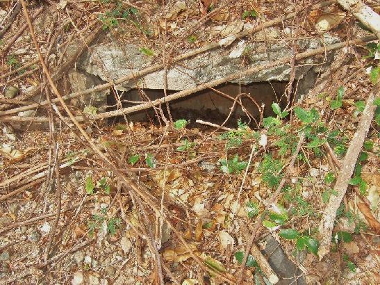
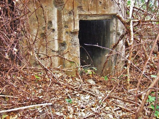
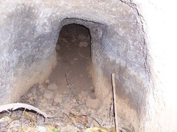
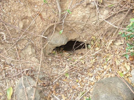
Z586-Like a cove, here in the bushes are the two remaining Malinta Hill accessible Navy Tunnels. This in the SW side of Malinta Hill.
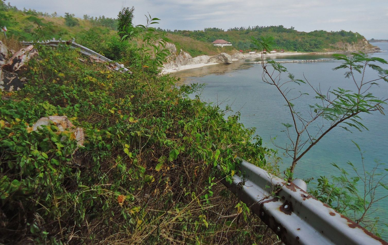
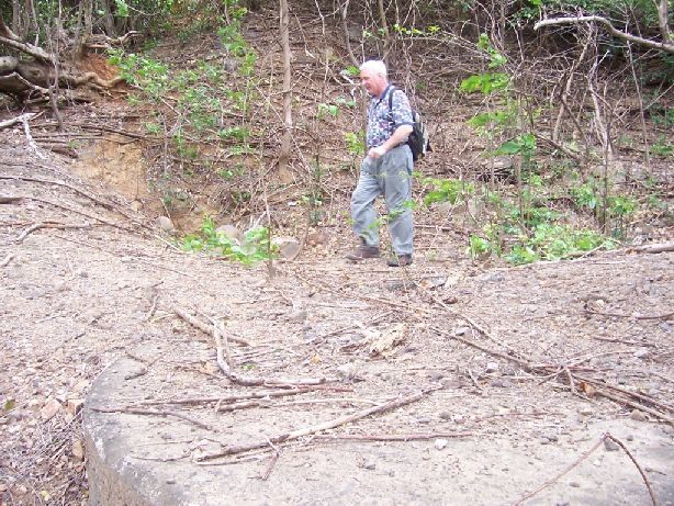
Z589-This is the most NE (north east) rockslide on the South-Shore Road around Malinta Hill. I walked just a little further and we have the 92nd Garage area in view.
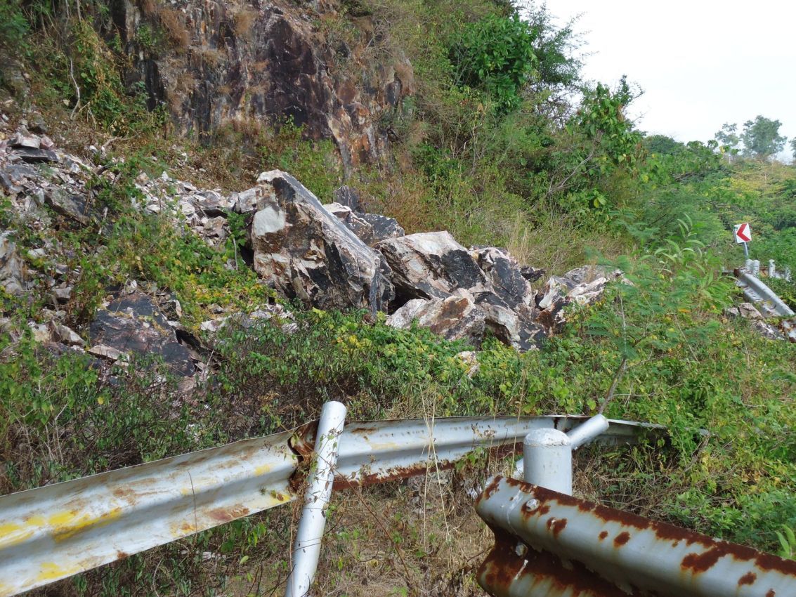
Z590-A better view of the most NE rockslide, you can see the traffic sign ahead that is where the South-Shore Road bends north and inland.
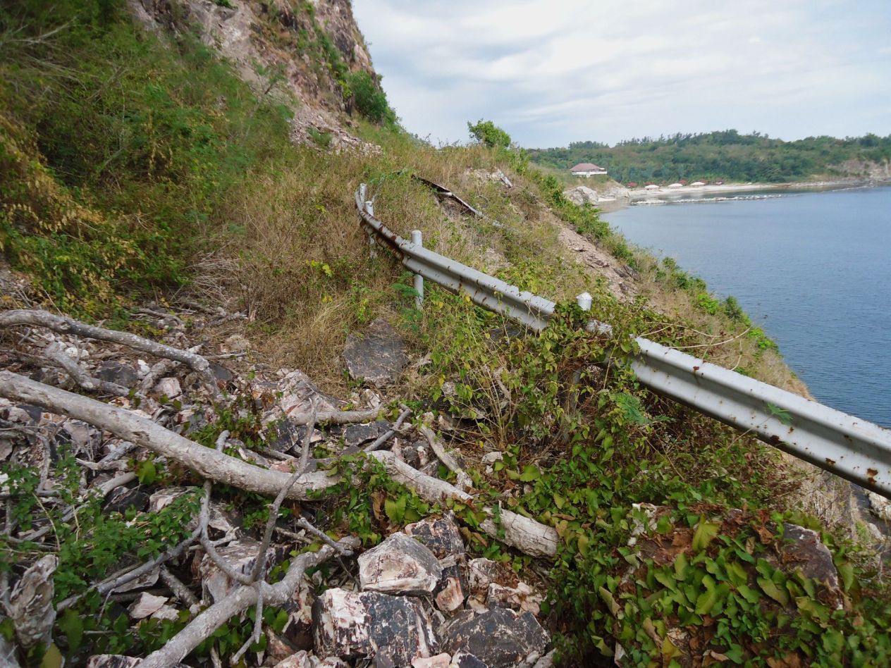
Z591-This is the area, I call, the 2nd most NE rockslide.
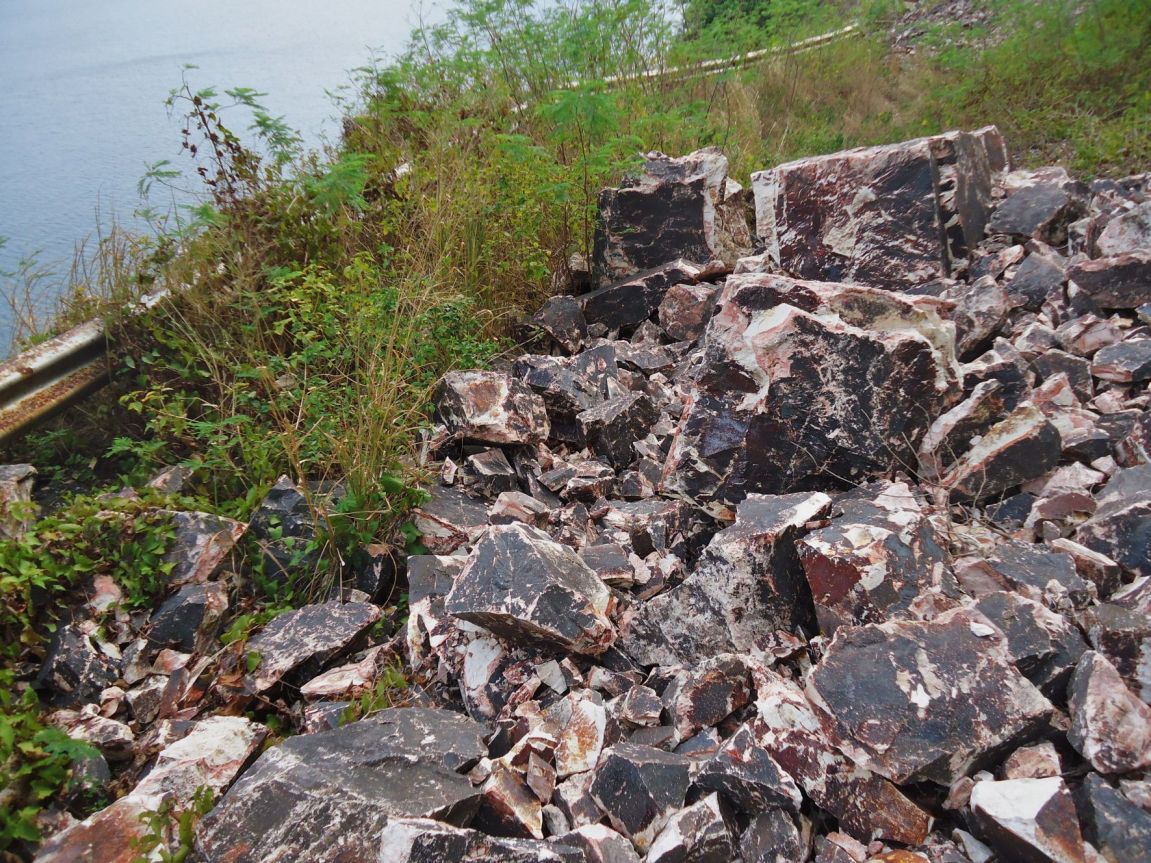
Z592-Looking in the other direction over the 2nd most NE rockslide.
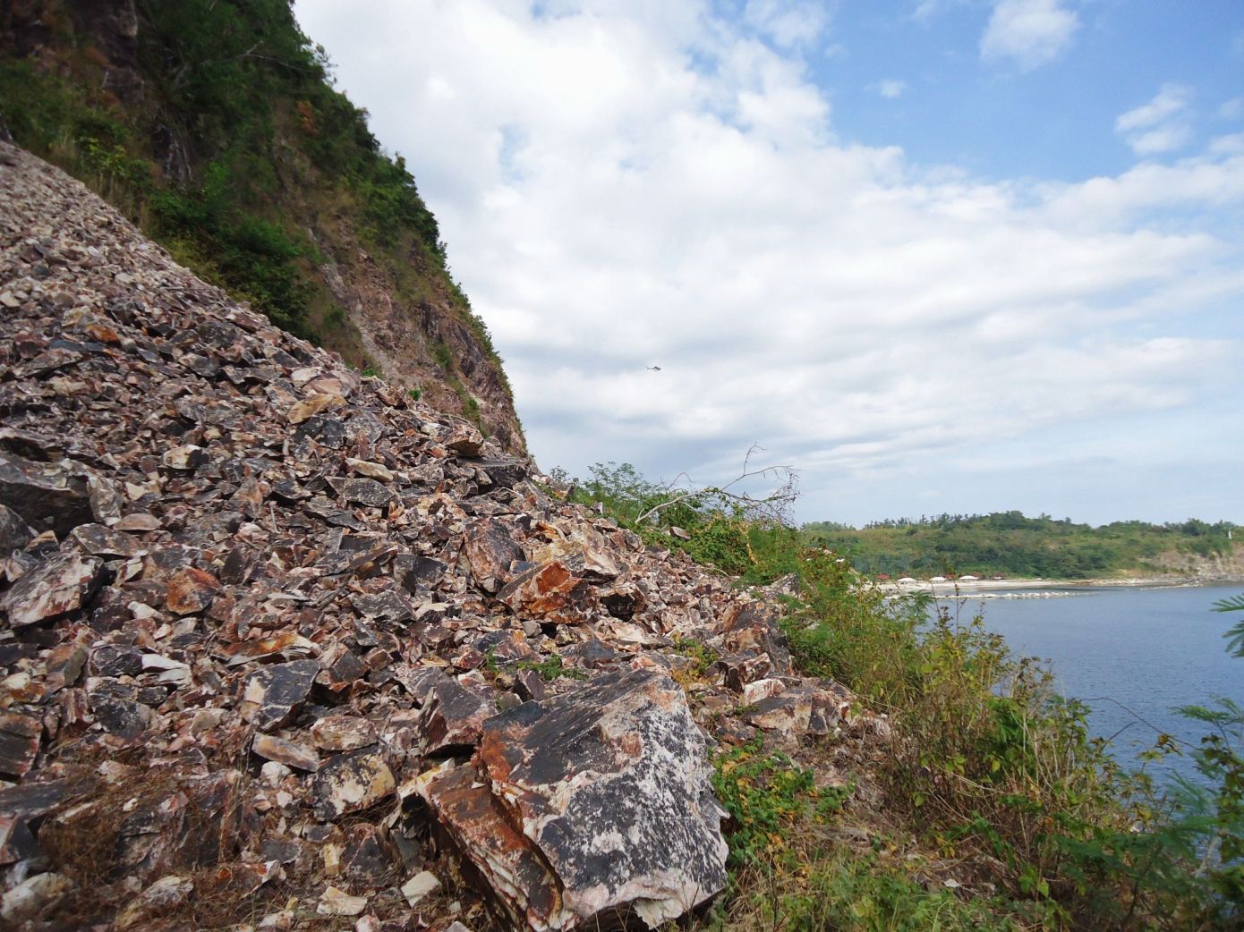
Z593-The biggest or most risky rock slide area on the Malinta Hill South-Shore Road.
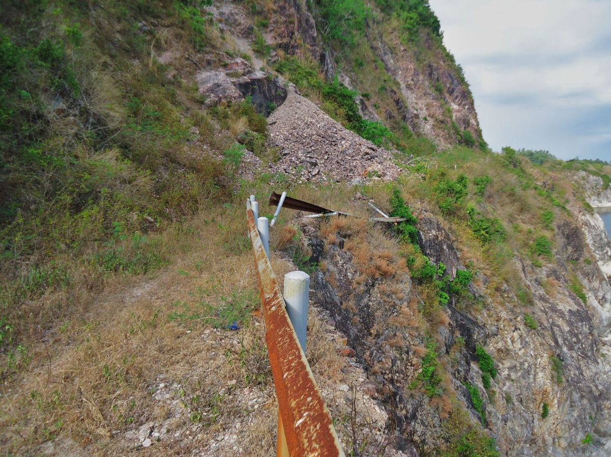
Z594-The biggest or most risky rock slide area on the Malinta Hill South-Shore Road. These pictures were shot on the return trip, I had walked first all the way passed the slides without taking pictures.
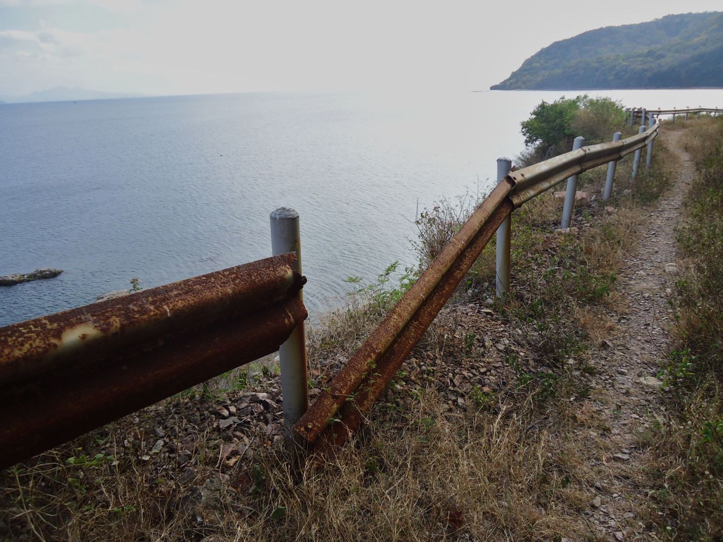
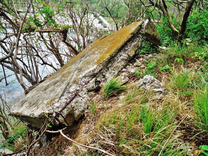
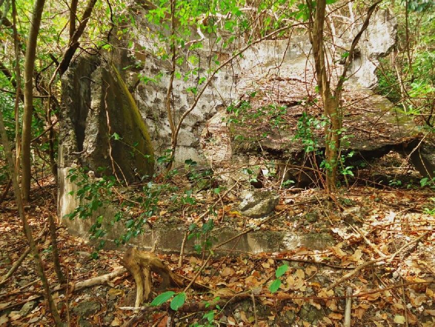
Z595-I am approaching the spot of the 3rd machine gun emplacement but only a large I-beam is left.
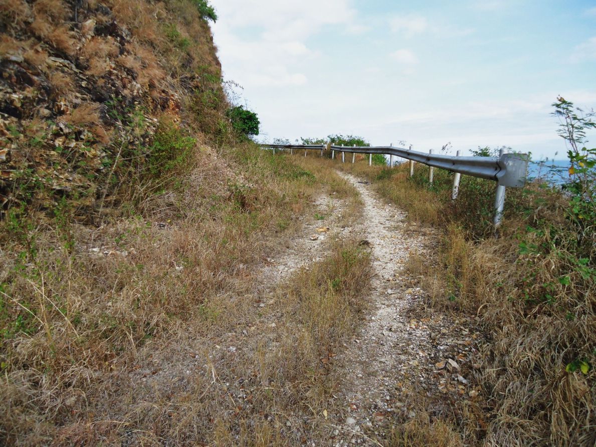
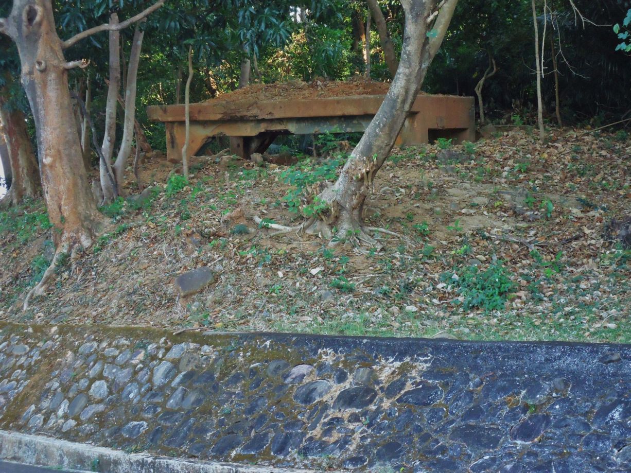
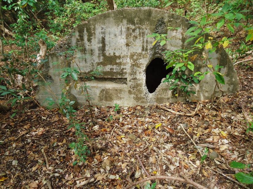
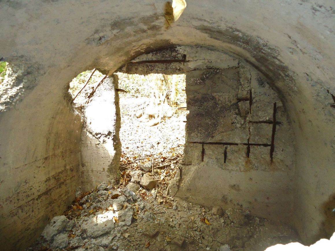
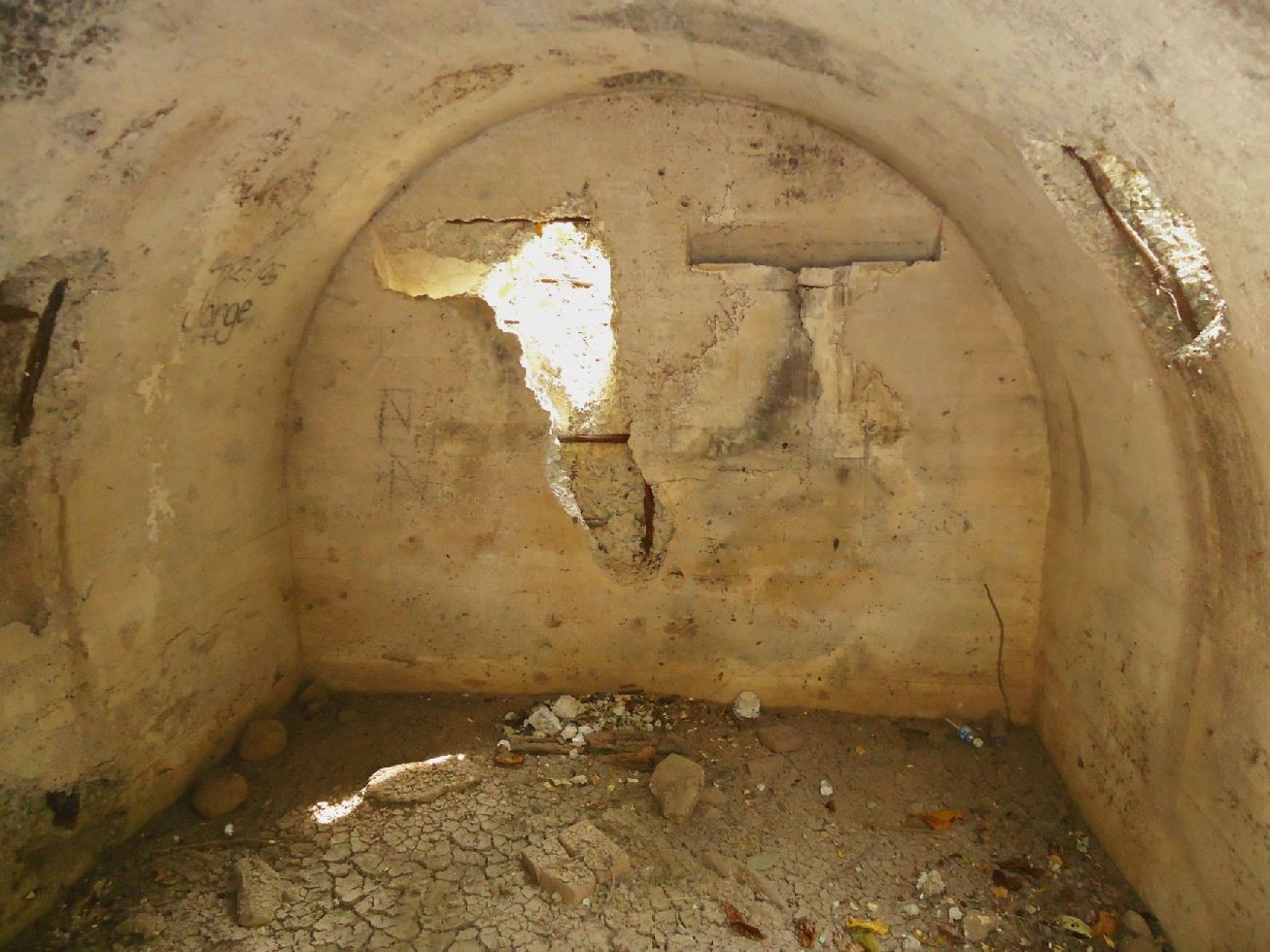
Z596-The South-Shore Road is pretty much intact along the three Machine gun emplacements.
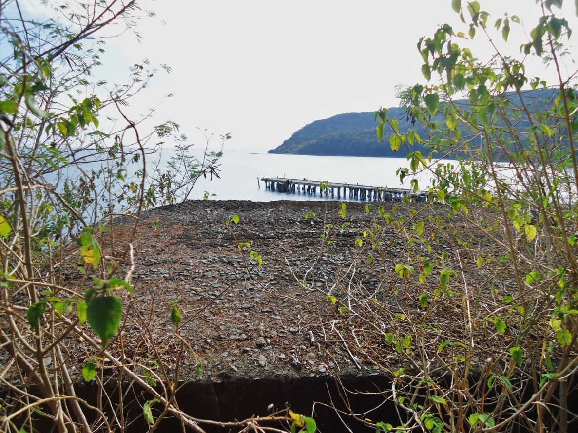
Z597-Looking across machine gun emplacement #1 across the South-Dock and towards Breakwater Point.
Note to Conrad Buehler:
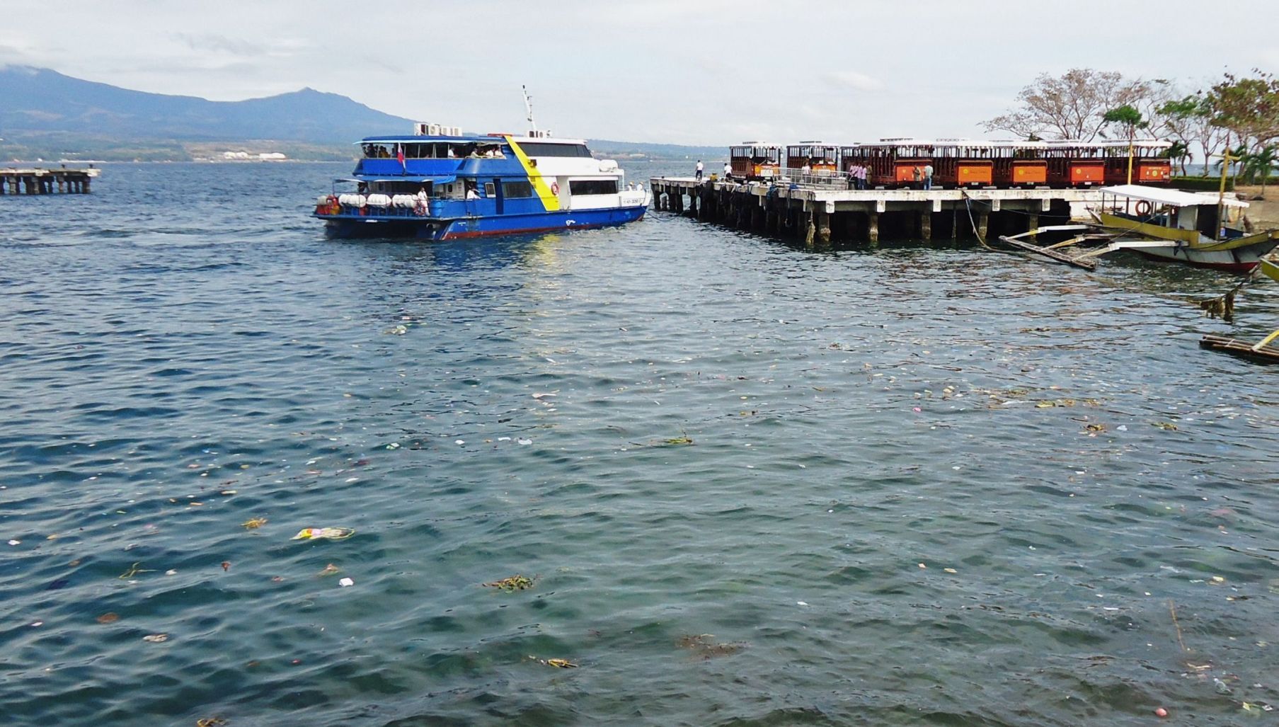
I have to assume that most wrecks are still in the harbor, that they are deep enough not to cause a navigational hazard. In my 10 years traveling here I never seen any salvage work going on. But I have experienced that Filipinos are crafty and there may have been small salvage work by small groups in the past with only the rudimental equipment.
FIRST DAY OF CORREGIDOR VISIT 2013-02-11
Mariveles to Corregidor, South-Shore Road around Malinta Hill.
My plan was to meet up with fots2 and Phantom and for me to stay one week.
The trip from Mariveles to Corregidor is covered in the previous segment. Tom Aring and fots2 had not arrived yet and I arrived in the afternoon. So I went around the south side of Malinta Hill to check on the recent reported rockslides.
The Rockslides are substantial and they make clear that the South-Shore Road around Malinta Hill would be hazardous to public use.
In this album, about the rockslides on the South-Shore Road, around the south side of Malinta Hill are 52 images.
s74.photobucket.com/user/PI-Sailor/library/Corregidor%20by%20subject/Malinta%20Hill/Around%20Malinta%20Hill/S-Shore%20Rd%202013-02-11?sort=9&page=1
Here are some sample images:

Z587-This is the west side of Malinta Hill on Corregidor. This concrete road comes from Bottomside and continuous behind me to the west entrance of the Malinta Tunnel. Straight ahead is the South-Shore road going around the south side of Malinta Hill.

Z588-I marked in the landmarks for this album on this section of the 1936 Corregidor map.

Z586-Like a cove, here in the bushes are the two remaining Malinta Hill accessible Navy Tunnels. This in the SW side of Malinta Hill.

Z589-This is the most NE (north east) rockslide on the South-Shore Road around Malinta Hill. I walked just a little further and we have the 92nd Garage area in view.

Z590-A better view of the most NE rockslide, you can see the traffic sign ahead that is where the South-Shore Road bends north and inland.

Z591-This is the area, I call, the 2nd most NE rockslide.

Z592-Looking in the other direction over the 2nd most NE rockslide.

Z593-The biggest or most risky rock slide area on the Malinta Hill South-Shore Road.

Z594-The biggest or most risky rock slide area on the Malinta Hill South-Shore Road. These pictures were shot on the return trip, I had walked first all the way passed the slides without taking pictures.

Z595-I am approaching the spot of the 3rd machine gun emplacement but only a large I-beam is left.

Z596-The South-Shore Road is pretty much intact along the three Machine gun emplacements.

Z597-Looking across machine gun emplacement #1 across the South-Dock and towards Breakwater Point.
Note to Conrad Buehler:
I have to assume that most wrecks are still in the harbor, that they are deep enough not to cause a navigational hazard. In my 10 years traveling here I never seen any salvage work going on. But I have experienced that Filipinos are crafty and there may have been small salvage work by small groups in the past with only the rudimental equipment.


