|
|
Post by dmether on Feb 5, 2014 15:22:56 GMT 8
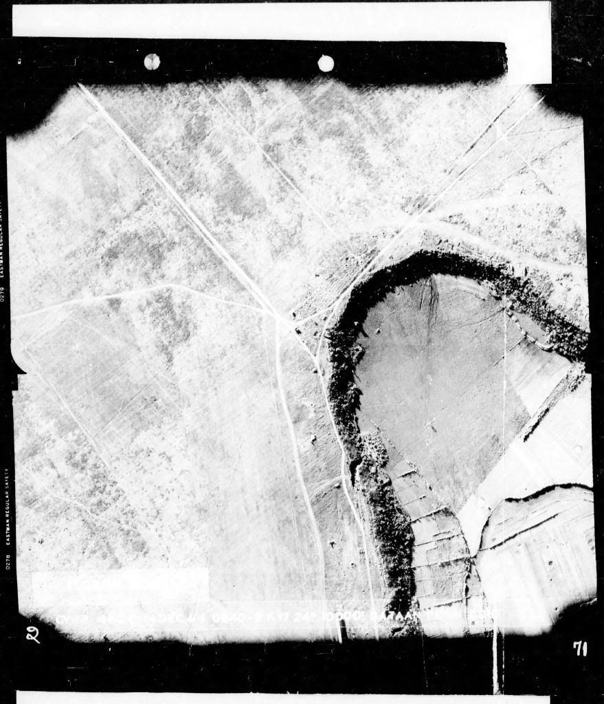
 Bataan, but can't read what is written on the bottom. |
|
|
|
Post by dmether on Feb 5, 2014 15:28:57 GMT 8
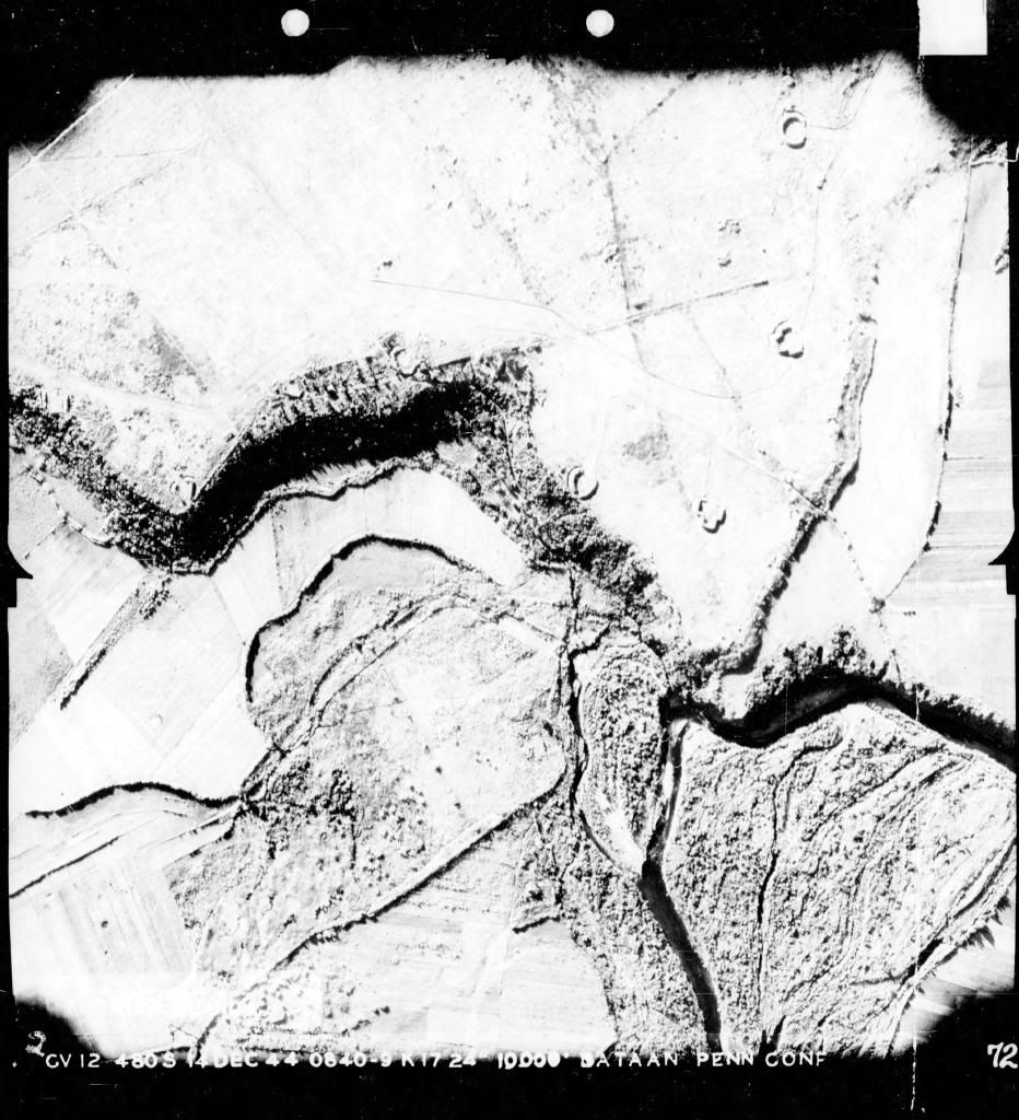
 Bataan, somewhere. |
|
|
|
Post by dmether on Feb 5, 2014 15:33:43 GMT 8
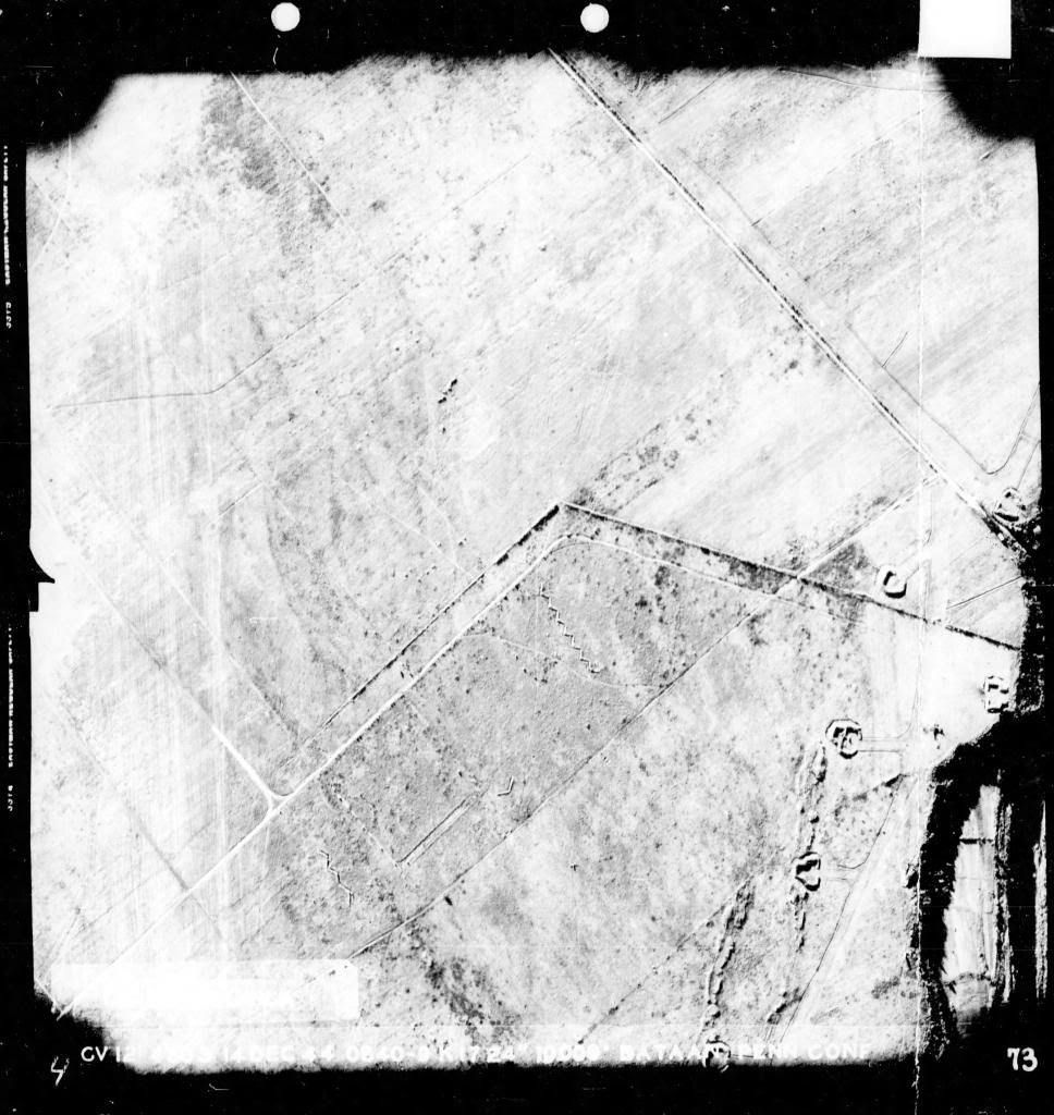
 Bataan |
|
|
|
Post by dmether on Feb 5, 2014 15:42:31 GMT 8
 Bataan |
|
|
|
Post by okla on Feb 6, 2014 3:27:48 GMT 8
Hey dm....Thanks a bunch for posting these aerials. Since Photo Interp was one of my duties while in the USAF, a Thousand years ago in Korea, I can spend hours musing over these things. I agree with you on the shot being Cabcaben. That would appear to be the crude Airstrip that, what remained of, our Far East Air Force was utilizing, I am puzzled at what those "C" shaped (for the most part) objects that are scattered throughout the photos might be. At first I thought they were revetments for Aircraft that used nearby roads, etc as airstrips, but viewing more of the pics I see these things spread over open terrain with no adjacent ground that would appear to be used as runways. My next thought was that they might be gun emplacements, but many of them have no trails, tracks, etc leading to them. I, finally, settled on them having to do with agricultural activity. Can you guide me in the right direction on these gizmos??? Thanks again for posting.
|
|
|
|
Post by okla on Feb 6, 2014 3:57:19 GMT 8
Hey dm.....After, again, perusing the second photo in this series of shots, I have reconsidered my original thoughts that some of these objects could, well, be revetments for Aircraft. At least, to my mind, those shown in the aforementioned photograph might indicate this to be the case. Some of the planes would have to taxi or be towed quite a distance to what might be a crude runway, but it would be feasible, but time consuming in my humble. These revetments, if that is what they are, are scattered, but most are accessible by trails or pathways that a plane could be moved. Still, these strange looking objects, in other photos, appear to be isolated with no apparent routes, that a vehicle would need, leading to them. I noted one that is astraddle what appears to be a fence line,etc. Anyhow, I now lean toward them being, in fact revetments, probably for A/C and maybe emplacements for anti aircraft guns, even if this ordnance wasn't on hand at the time these aerials were taken. My Oka-san, at times, thinks I am obsessed with this kind of stuff and I suppose she is correct. Postscript....Doesn't the second photo have a mate,taken from a lower altitude, toward the end of the series?  |
|
|
|
Post by dmether on Feb 6, 2014 7:22:00 GMT 8
Personally, I think they all have to do with airfields on Bataan, why else photograph them? I'm thinking scattered aircraft revetments. I'm not that familiar with the terrain of Bataan to pick out where they were taken, hoping one of you can.
|
|
|
|
Post by Registrar on Feb 6, 2014 7:44:18 GMT 8
What if this mission was flown to ascertain whether the Japanese had re-fortified the areas on Bataan after the 1942 surrender? This would explain why there's nothing inside the structures, as they haven't been used for more than two years. This would provide information to assist in ruling out whether the Japanese were intending to withdraw to Bataan, to defend Manila, to move to the central plains, or whatever. We now know they hadn't refortified Bataan, and these photographs prove it. My SWAG is that we are seeing photographs of empty former US emplacements cleared out after the surrender.
|
|
|
|
Post by dmether on Feb 6, 2014 8:48:31 GMT 8
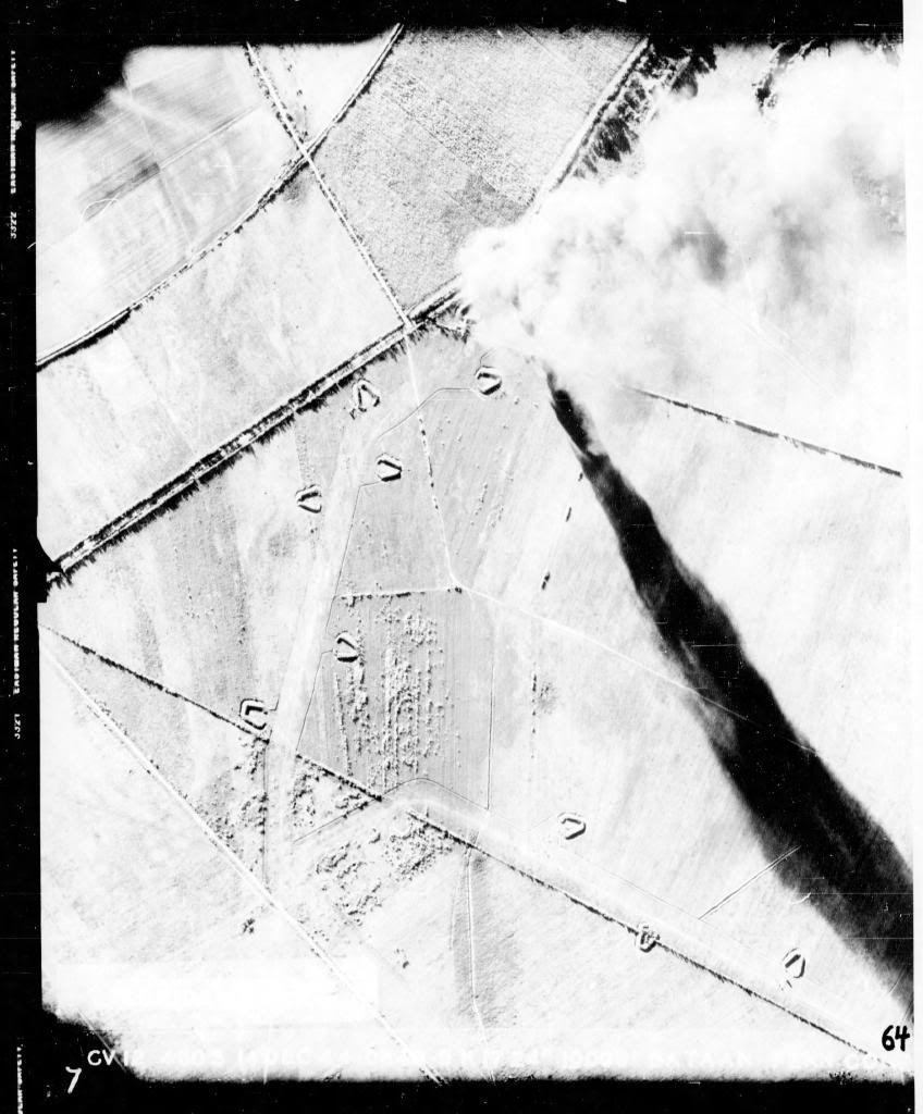
 This is the San Fernando train station under attack, you can see it burning just to the left of center. |
|
|
|
Post by dmether on Feb 6, 2014 8:51:03 GMT 8
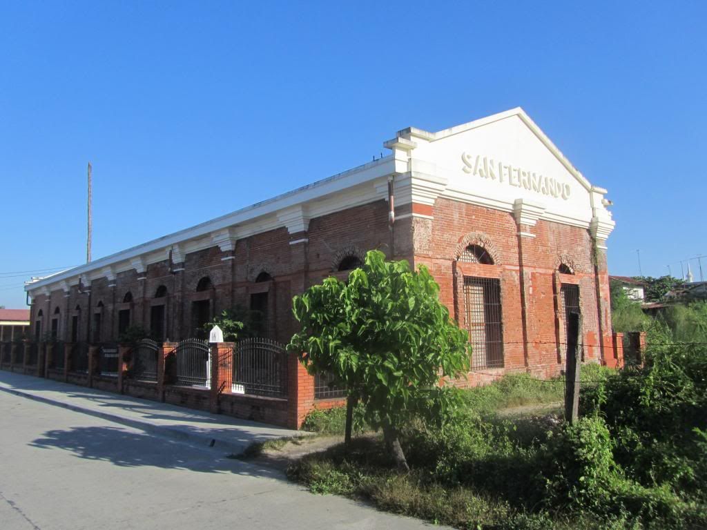 The San Fernando train station, taken last month. |
|


