|
|
Post by piercebennett on Jan 26, 2017 3:26:20 GMT 8
|
|
|
|
Post by piercebennett on Feb 1, 2017 3:20:43 GMT 8
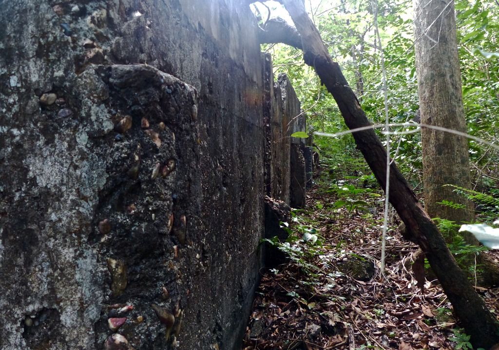
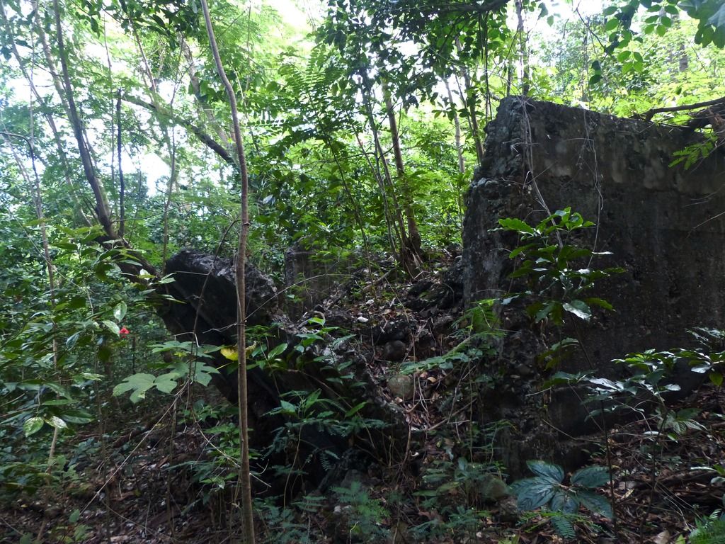
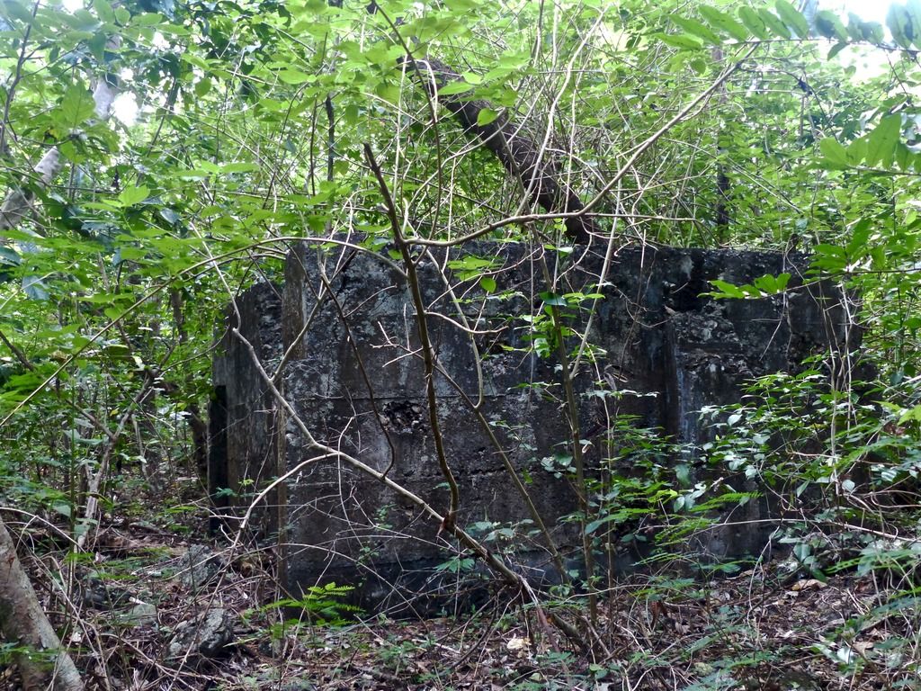
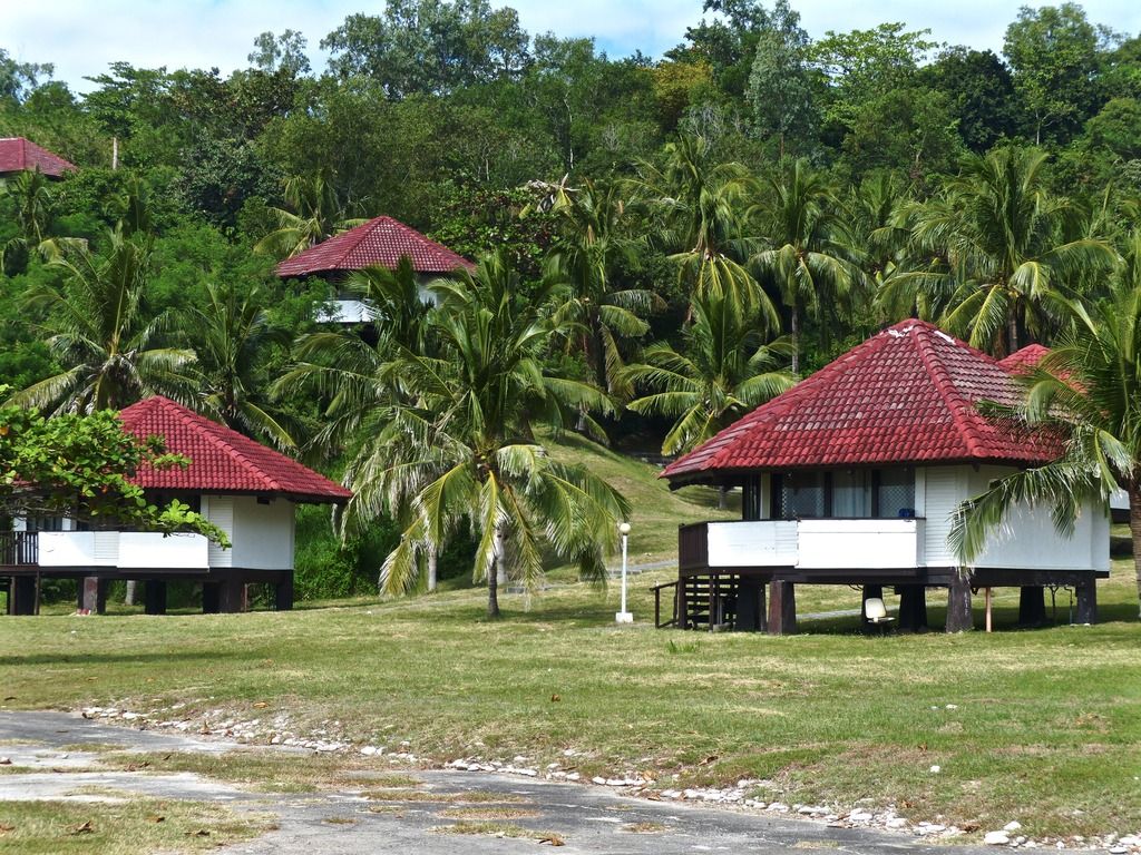
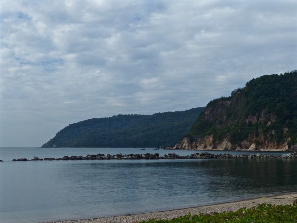
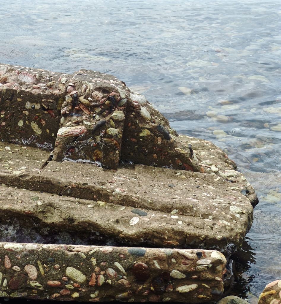
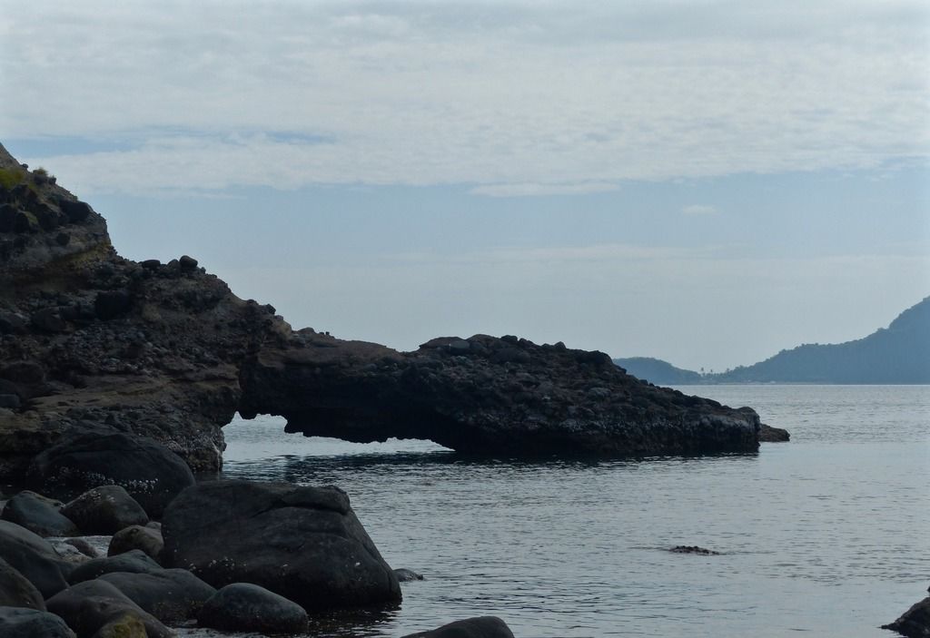
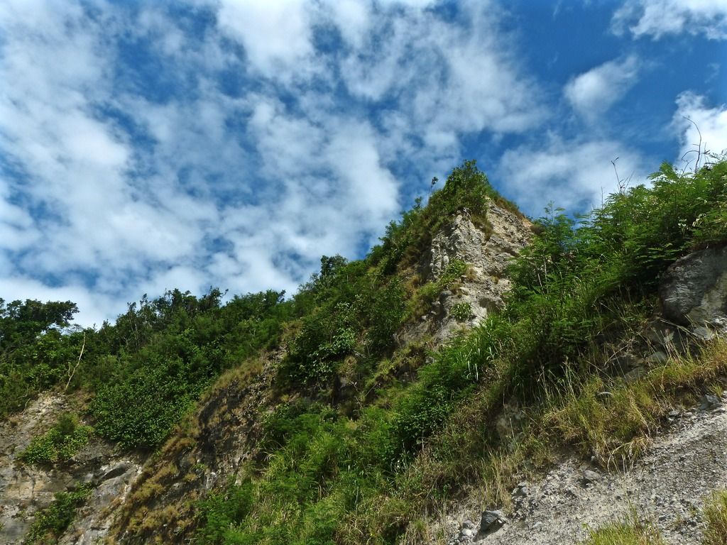
Day 8, Part 2I continued east around Camp Point.
Before going around the point I took a few photos of the scenery.
|
|
|
|
Post by beirutvet on Feb 1, 2017 3:49:56 GMT 8
Pierce
AWESOME PICS!
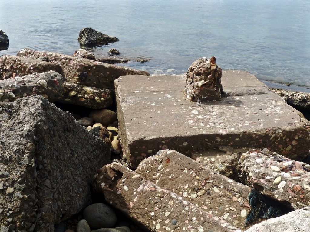
I wonder if you could shed some light on something I think I saw. In the close-ups of the concrete rubble it appears as though there are blood stones mixed into the concrete. Can you confirm this?
How many days were you there and can we expect more pics? I can't get enough of them.
|
|
|
|
Post by piercebennett on Feb 1, 2017 8:13:38 GMT 8
beirutvet
Thanks for the support! Those are in fact bloodstones. There are loads of them along the beach there, so I would imagine they mixed the concrete with stones from the area. I took pictures for 10 days, so day 9 and day 10 will be the last two days I post. hopefully I'll get them up before too long. There are around 50 photos for day 9 and around 200 for day 10.
|
|
|
|
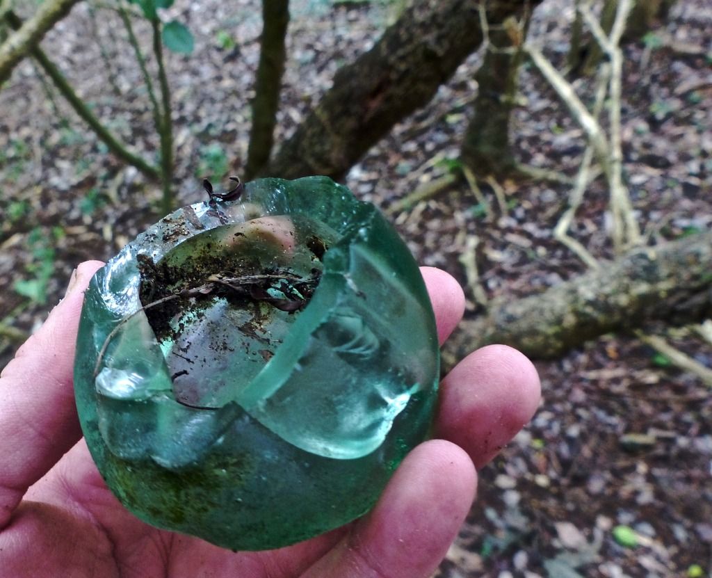
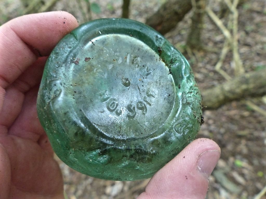
Post by piercebennett on Feb 4, 2017 3:24:11 GMT 8
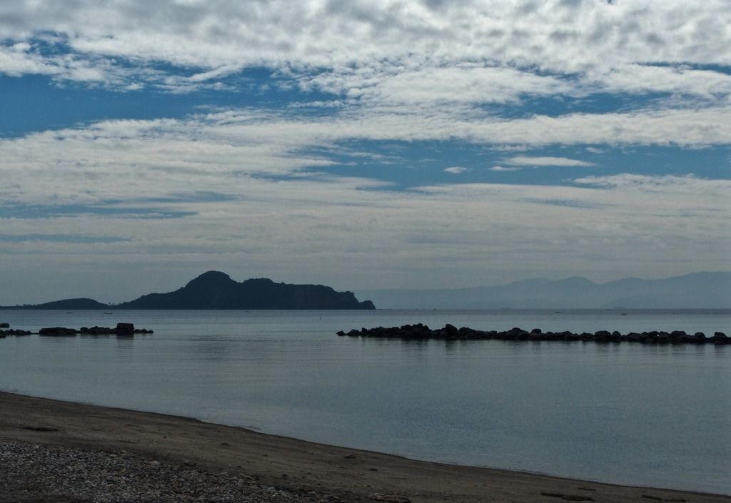
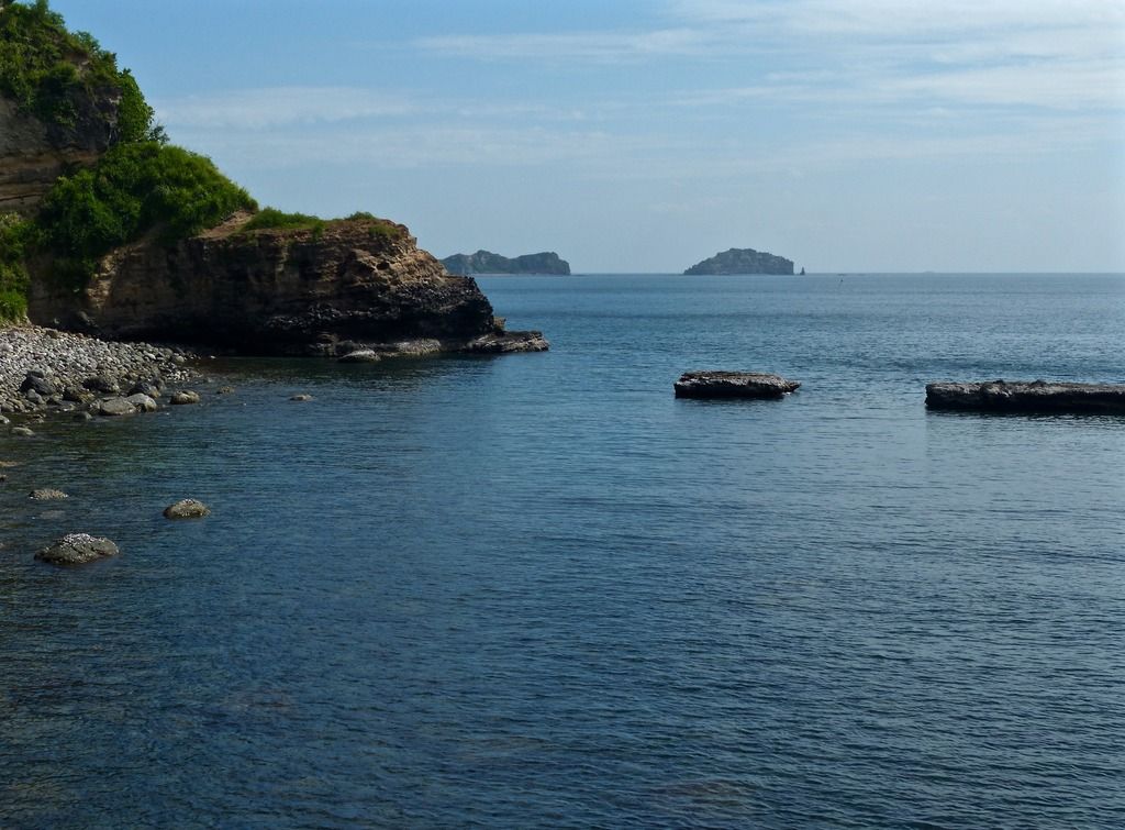
Day 9, Part 1I spent my time on the tail end of the island on this day.
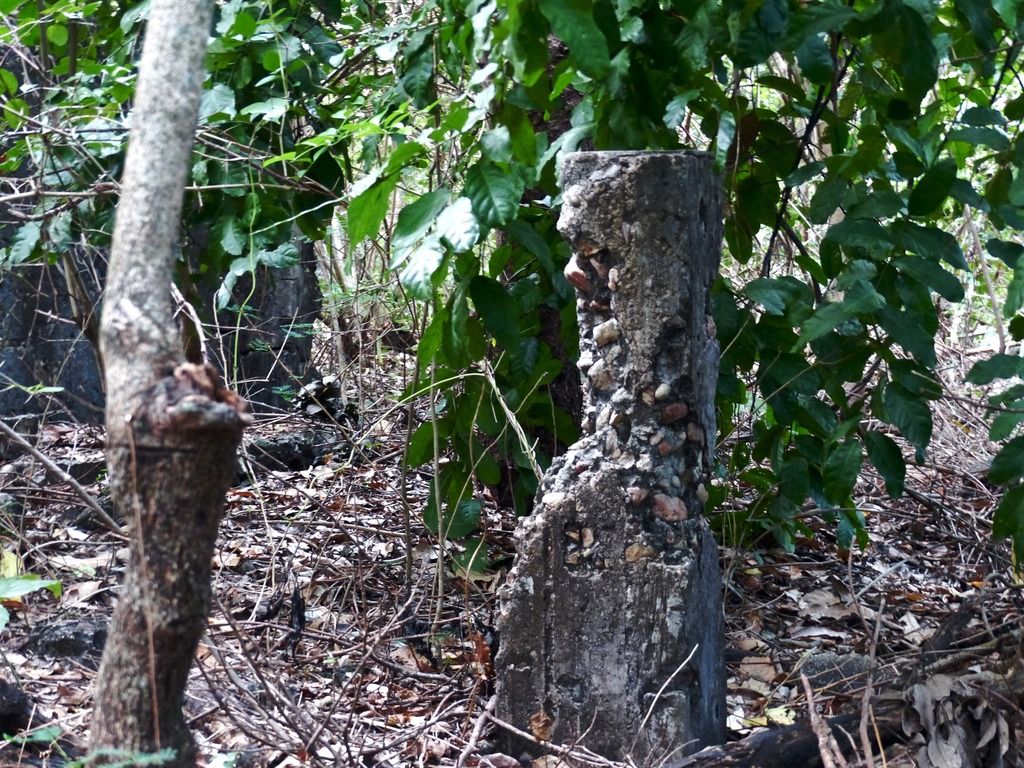
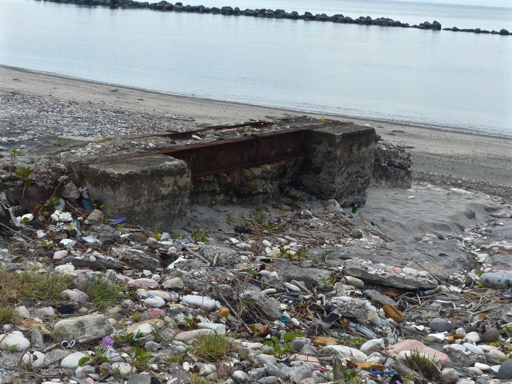
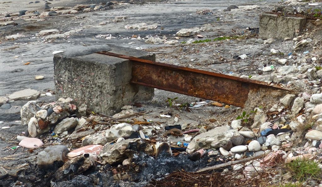
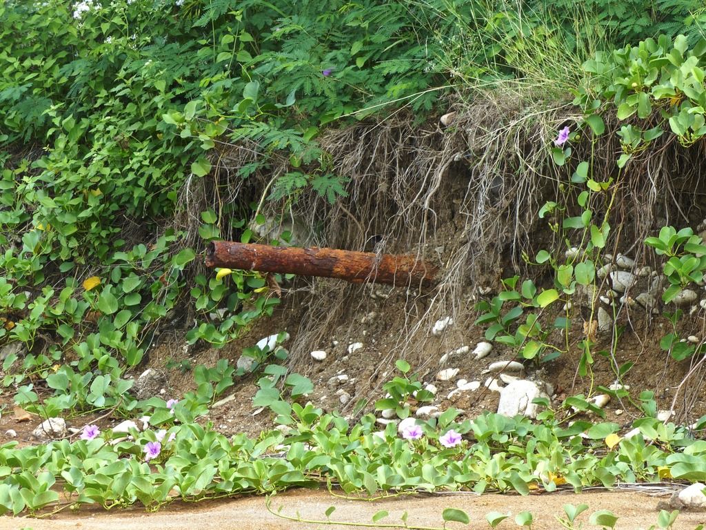
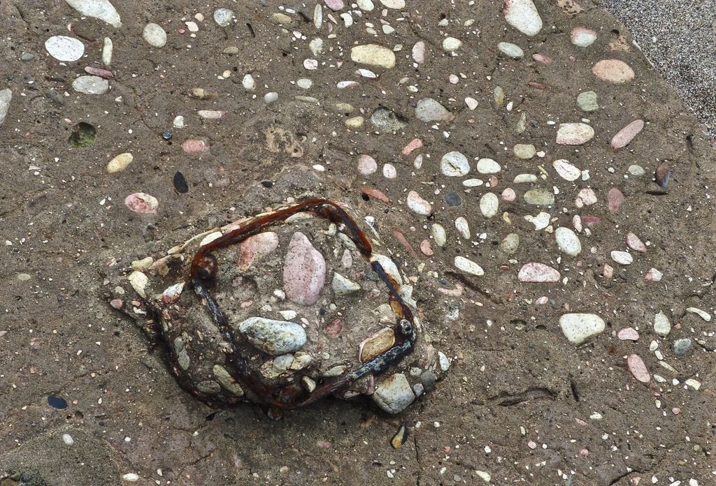
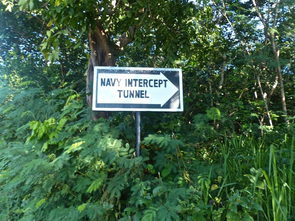 The sign to the Navy Radio Intercept Tunnel. 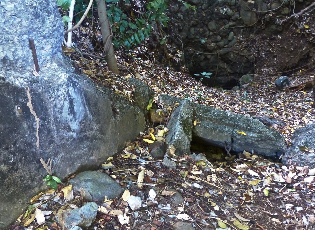 The entrance is quite small these days. 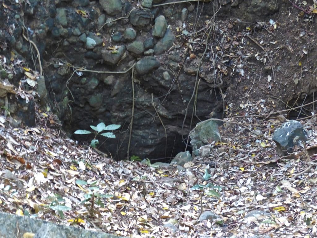 A close up on the opening. 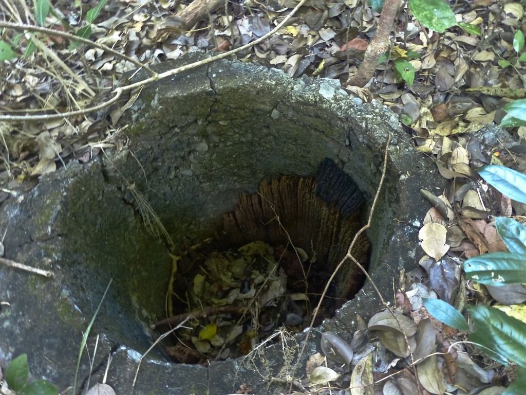 Nearby are the remains of an old wooden pole. I'm surprised any wood remains at all after all this time. 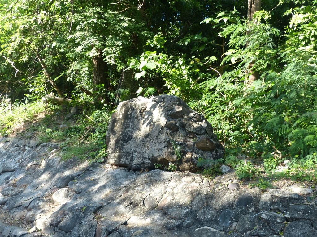 Along the road there is a chunk of concrete. 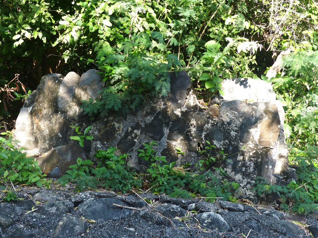 Another piece nearby. 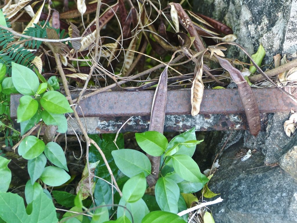 A piece of metal rebar poking through the cement. 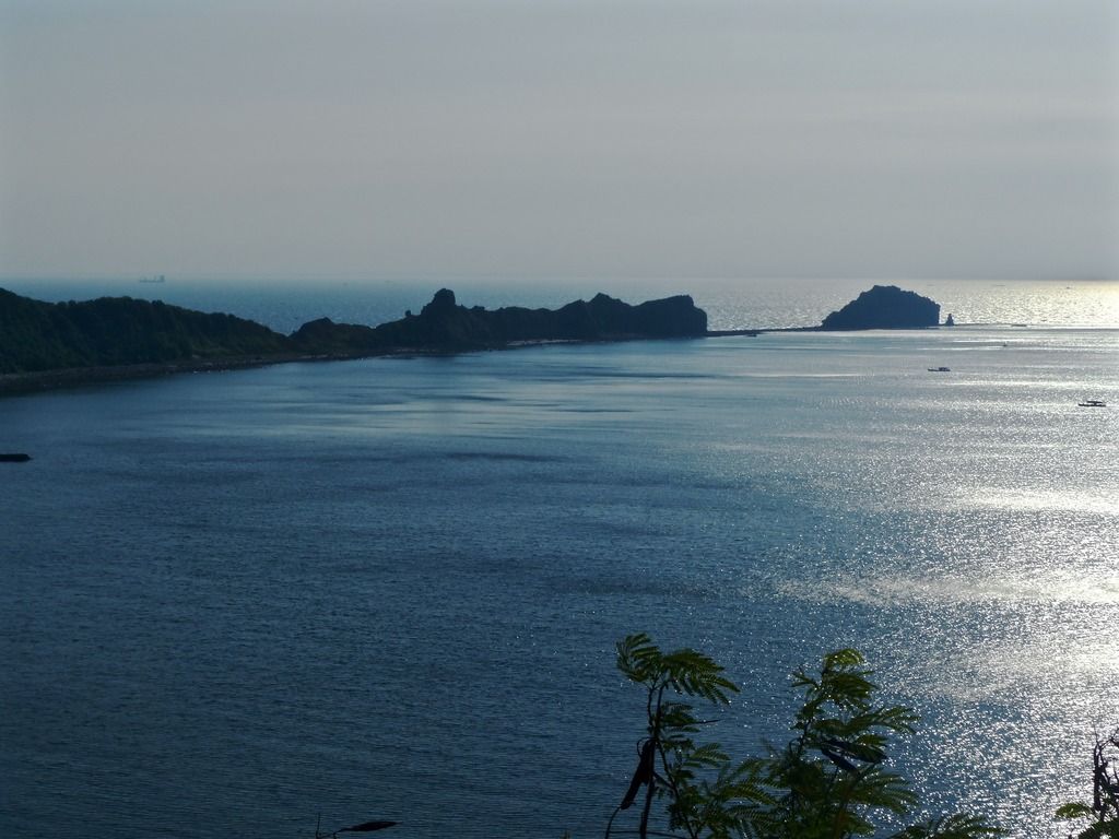 Continuing east, I snapped a shot of the tail. 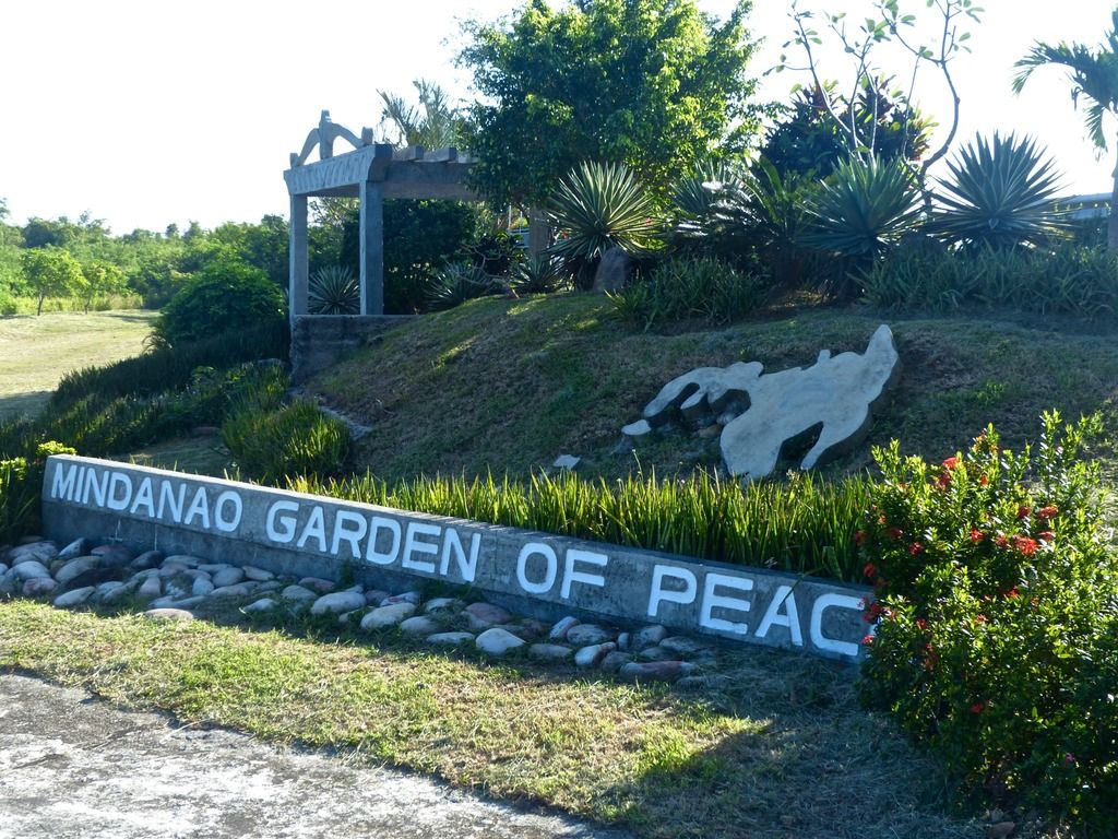 The Mindanao Garden of Peace is here on the tail. 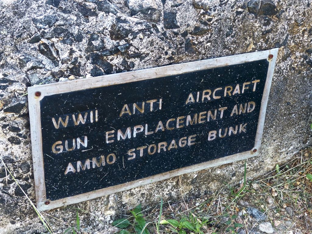 They repurposed some older emplacements and I appreciate the labeling of what these used to be. 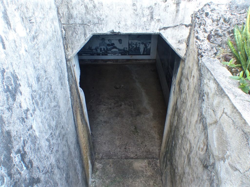 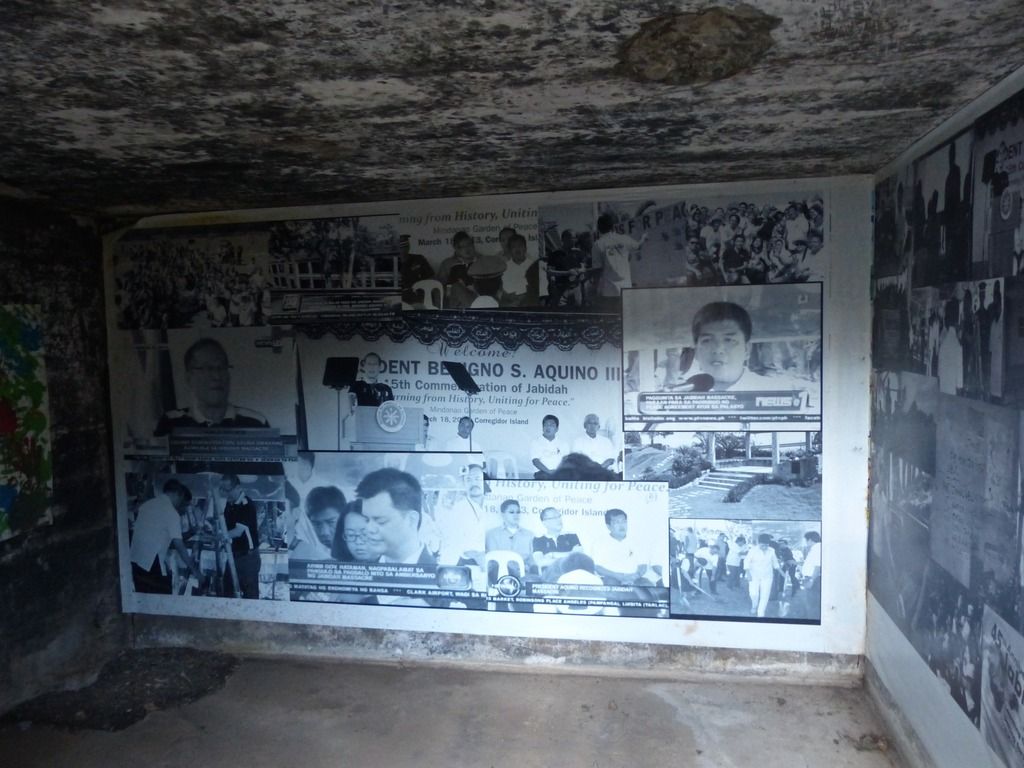 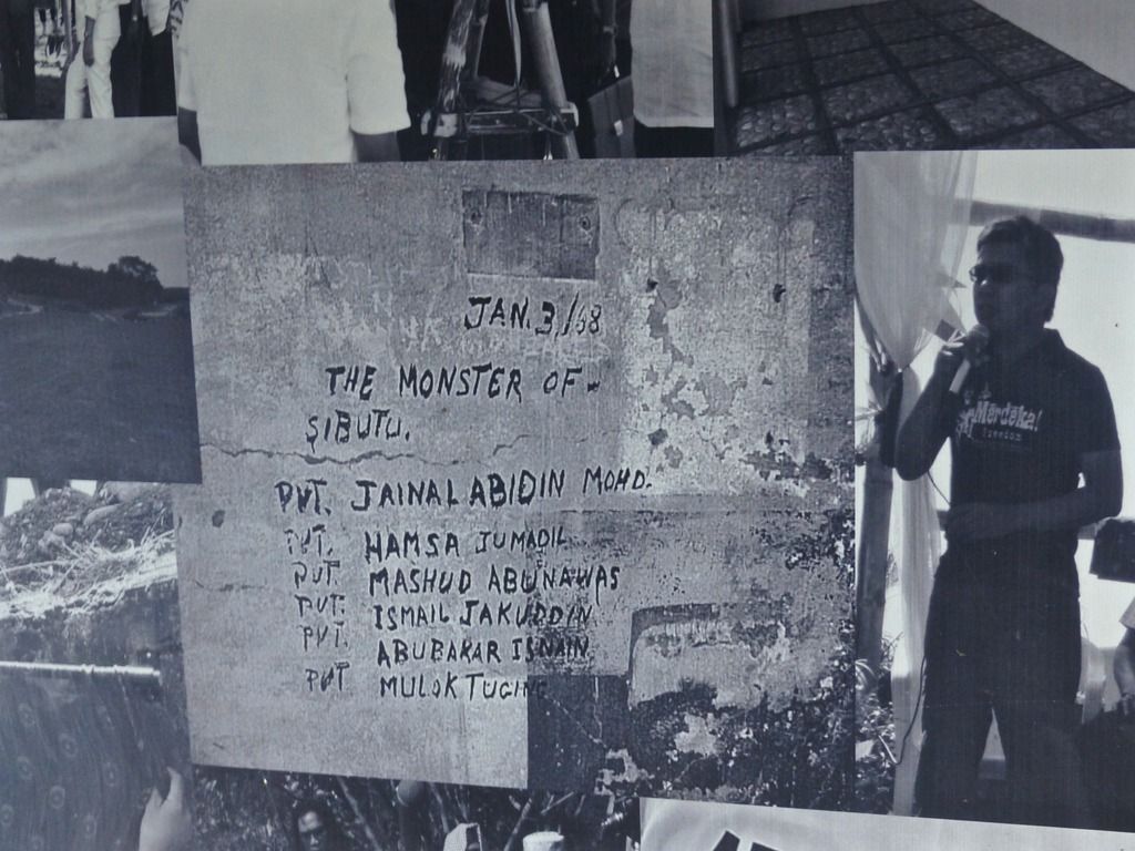 A photo of what is written on one of the walls of the hospital. 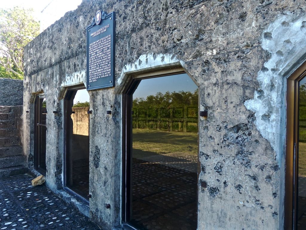 Another emplacement that was repurposed. 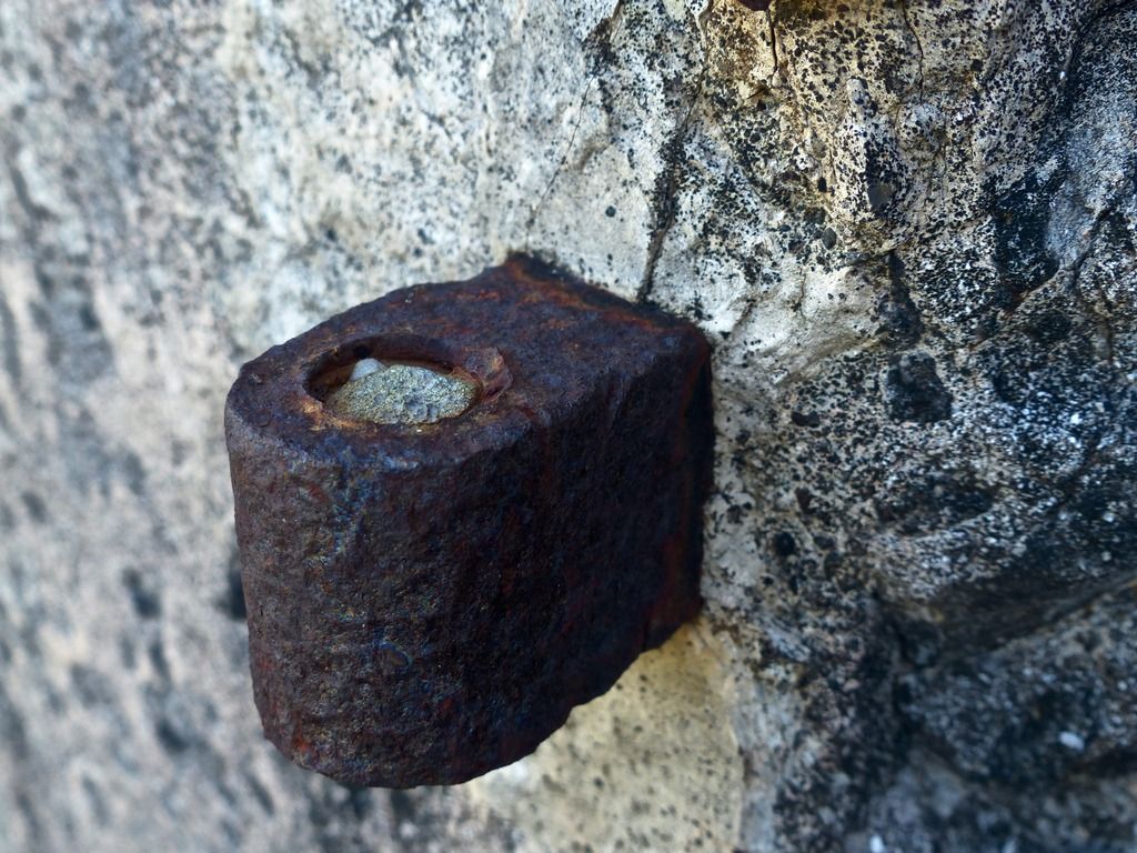 A remaining rusty hinge. 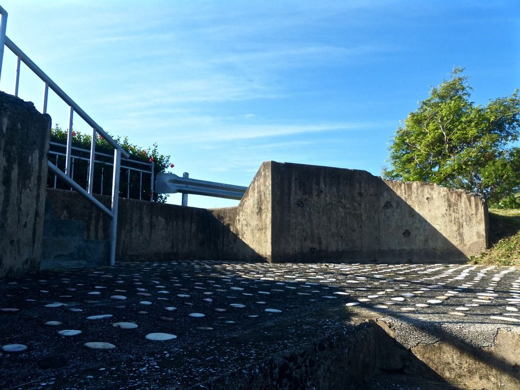 They redid the floors of the emplacement and added some stones. 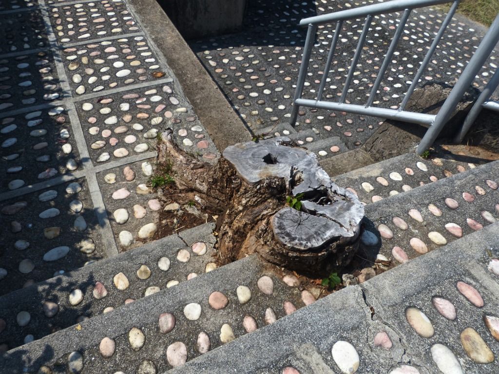 A tree has grown here in the concrete. 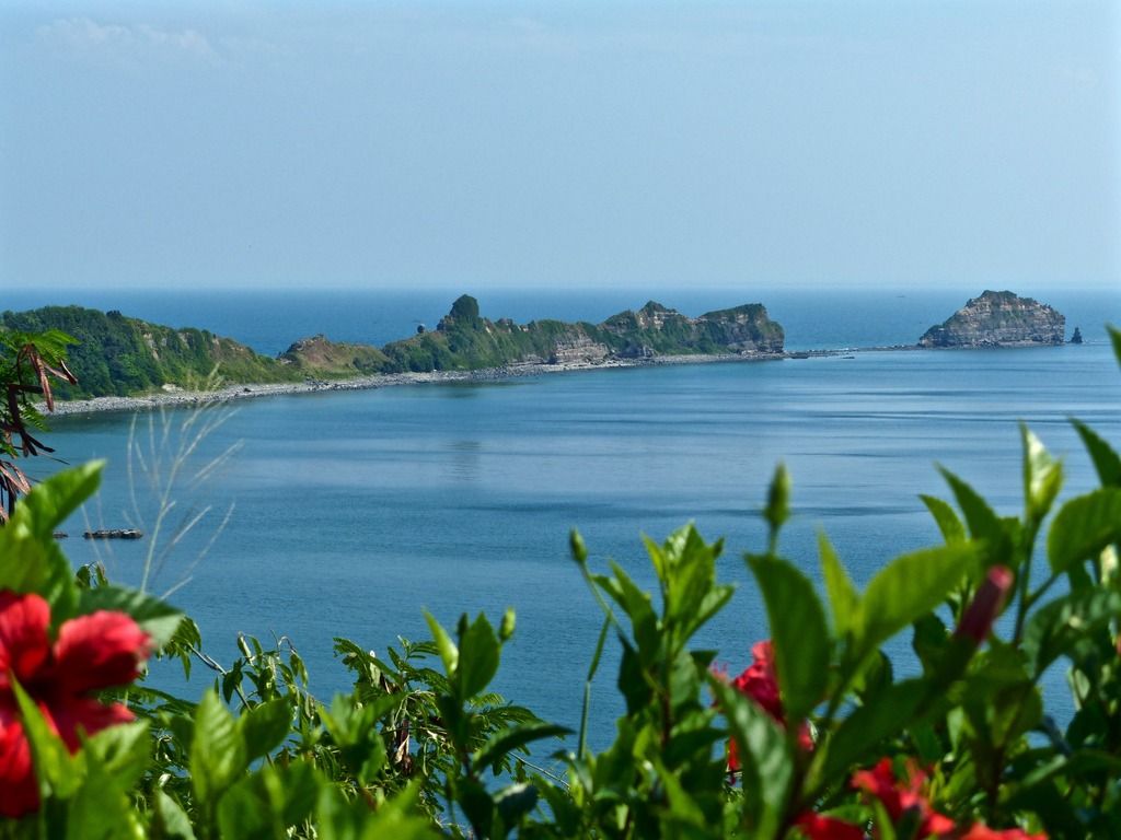 Another view of the tail and Razor Island from the top of the emplacement. |
|
|
|
Post by beirutvet on Feb 4, 2017 9:29:19 GMT 8
Pierce
Great photos as we have come to expect from your historic trip.
Can you give more info and perhaps other pics of that rebar sticking out of the concrete? It appears form the photo to be part of a rail from the trolley system. It is difficult to get an idea of the size of it from the photo.
|
|
|
|
Post by piercebennett on Feb 5, 2017 1:16:13 GMT 8
beirutvet
I unfortunately don't have any other photos of the metal. If I had to guess the size, I think it's probably about two and a half inches wide.
|
|
|
|
Post by piercebennett on Feb 5, 2017 4:47:05 GMT 8
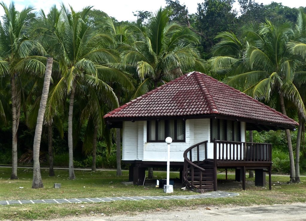
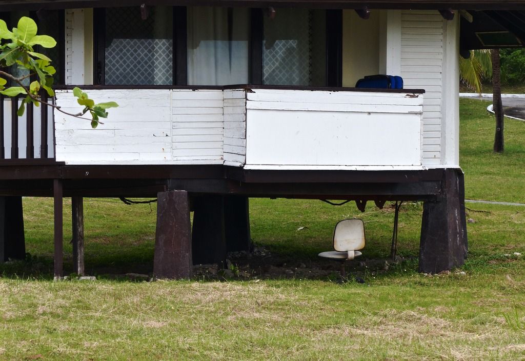
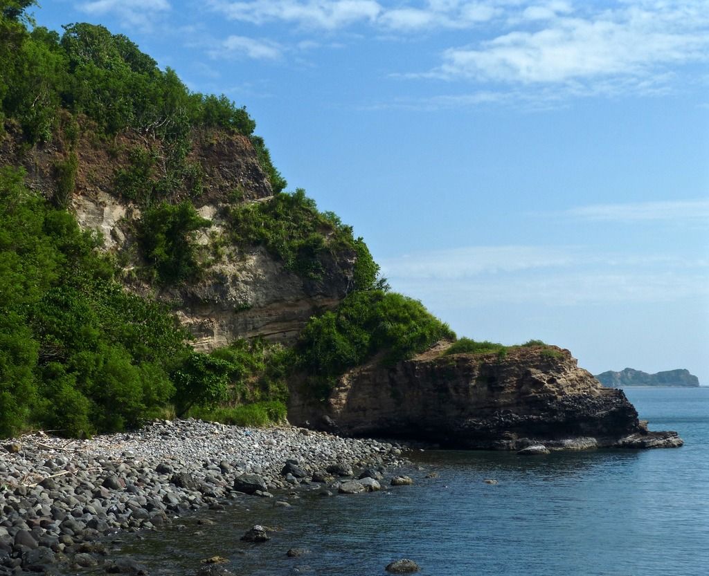
Day 9, Part 2I headed to Kindley Airfield and then down to the beach.
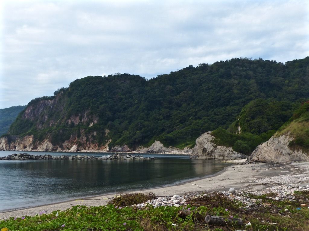
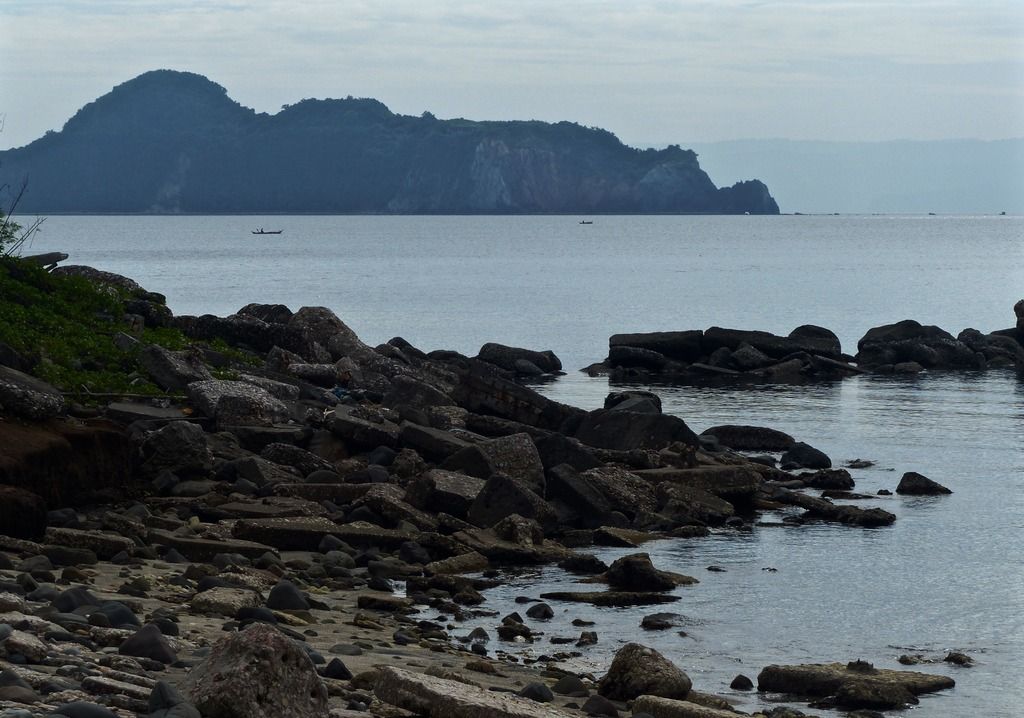
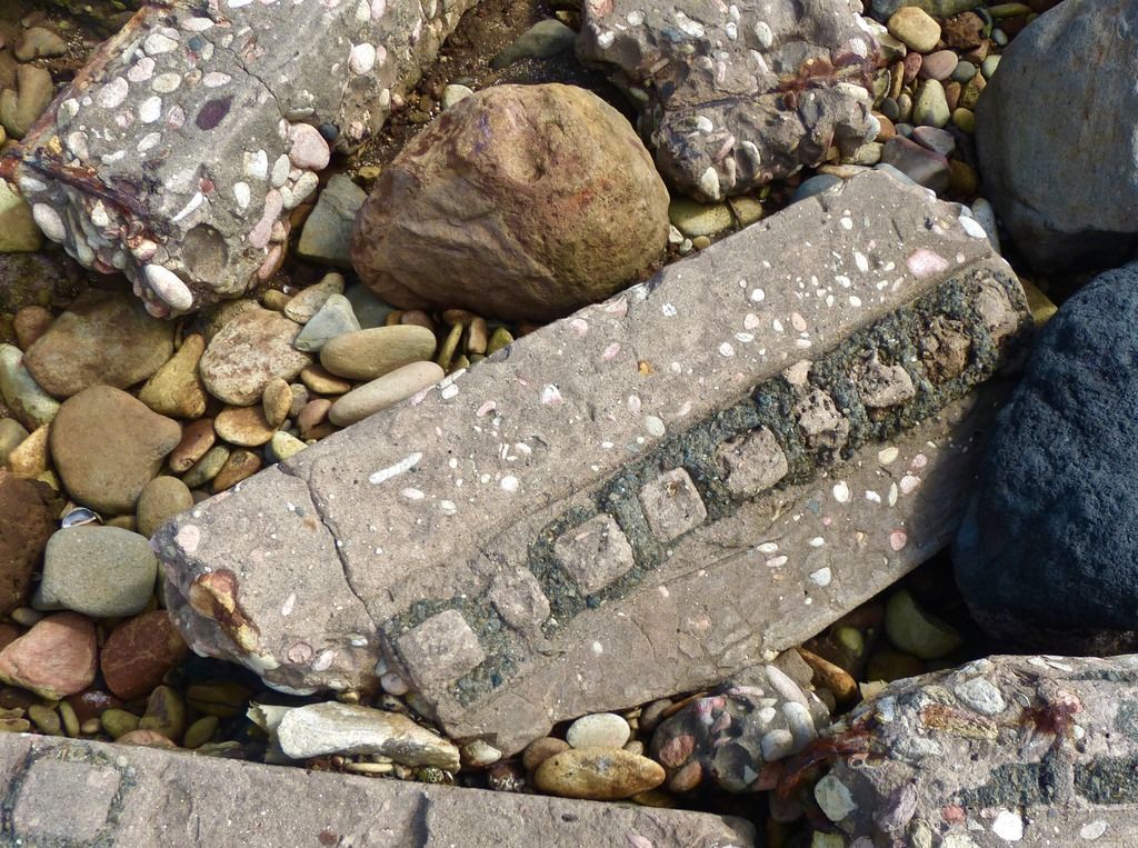
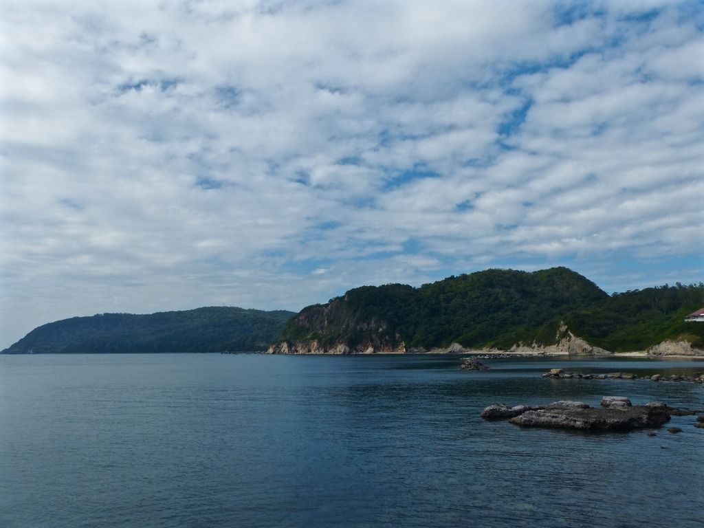
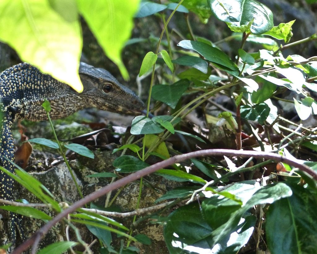
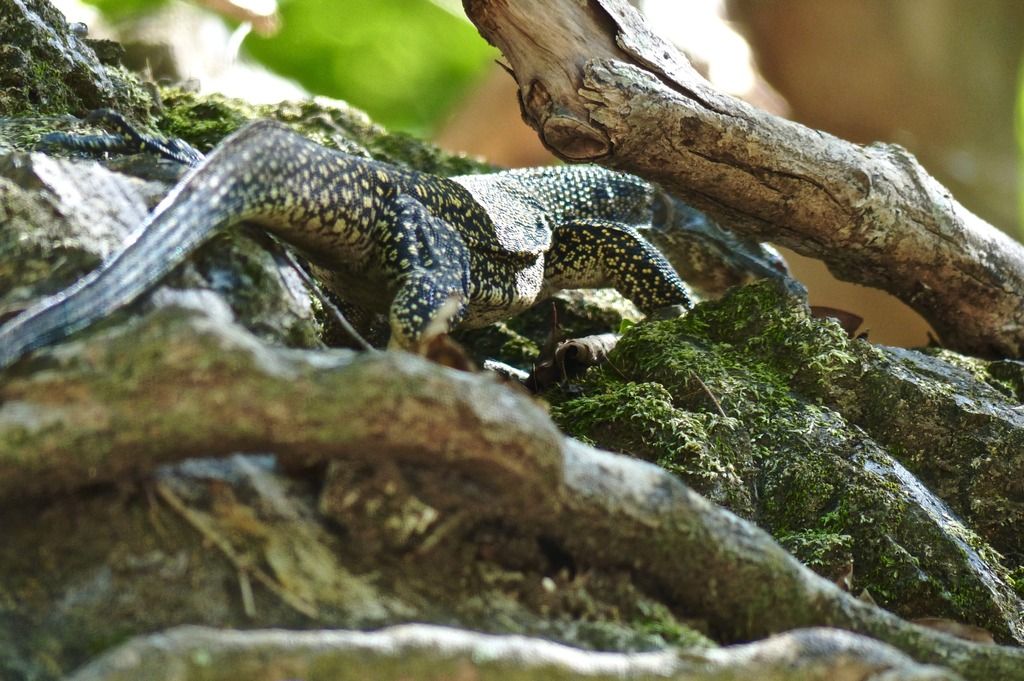
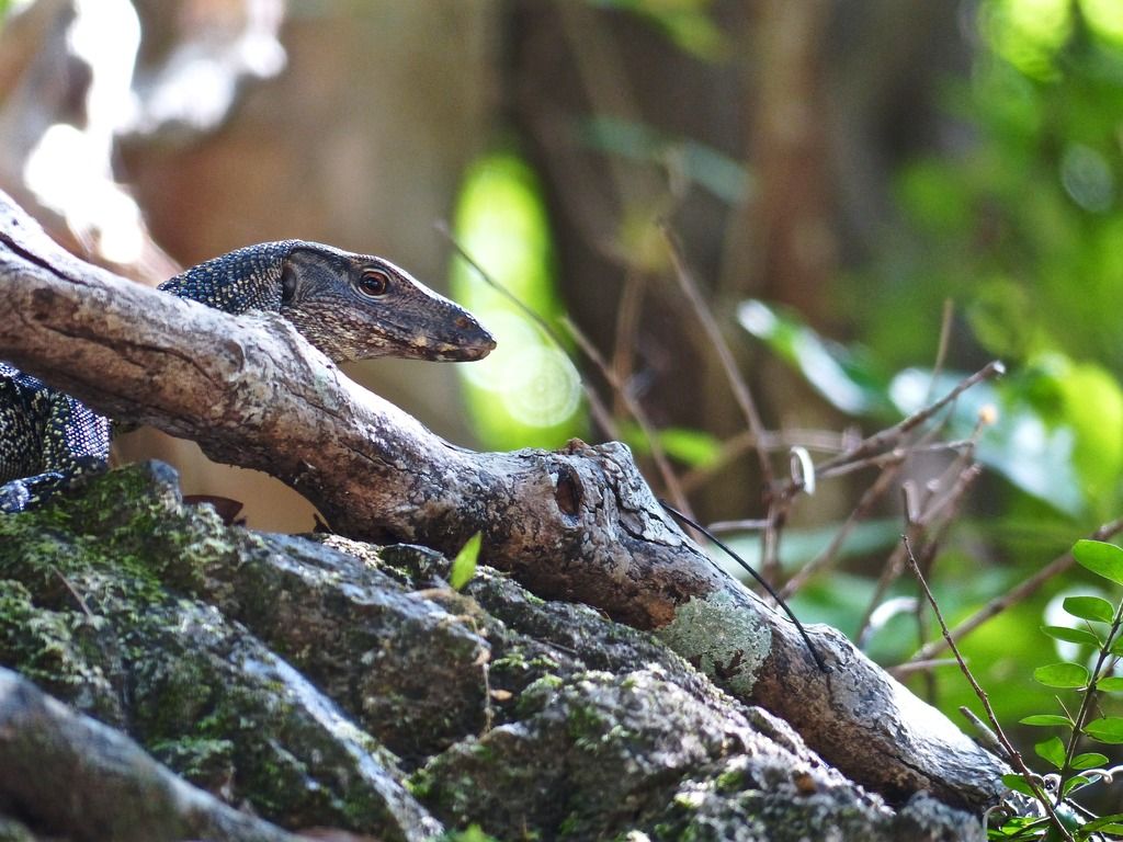
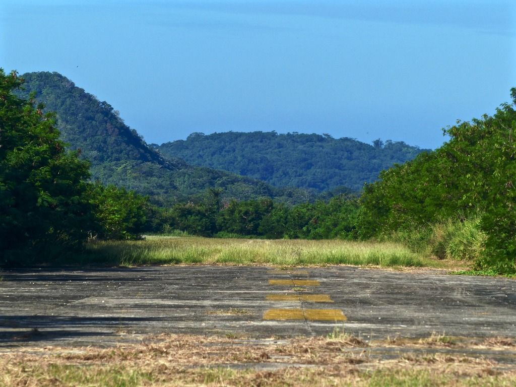 Looking down the airfield facing topside. 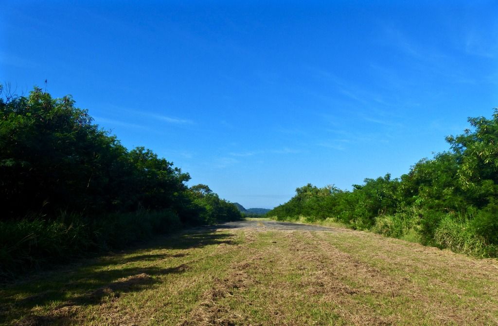 Further east, I took the same basic photo. I think there is a rope heading down to the beach somewhere, but I didn't look very hard. I just climbed down some trees and slid down the steep hill. I would recommend finding the rope for anyone who is planning on going down to the beach this way. 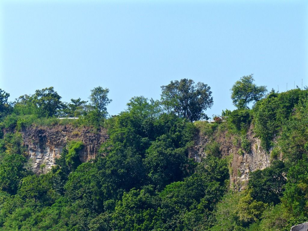 Once I got to the beach I looked back to the two points I took photos from. Note the red flowers on the right. 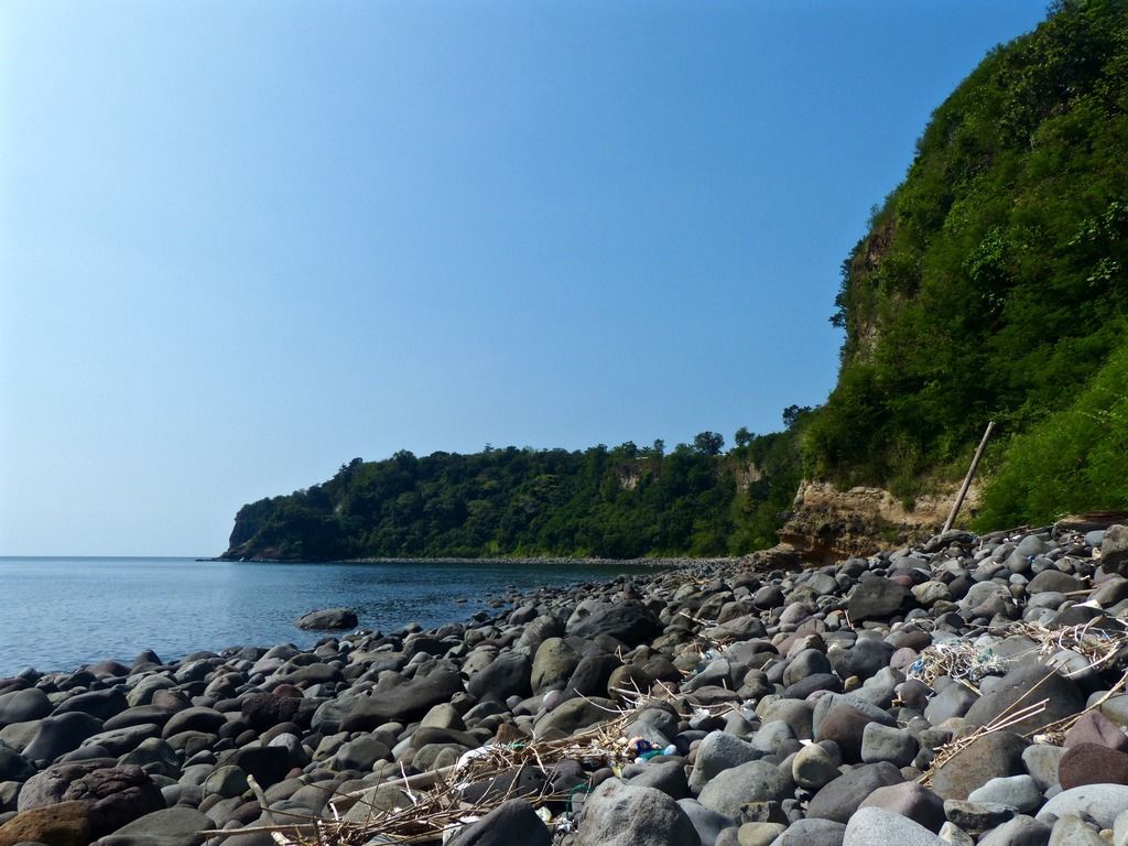 I continued east along the beach and took another photo facing west. 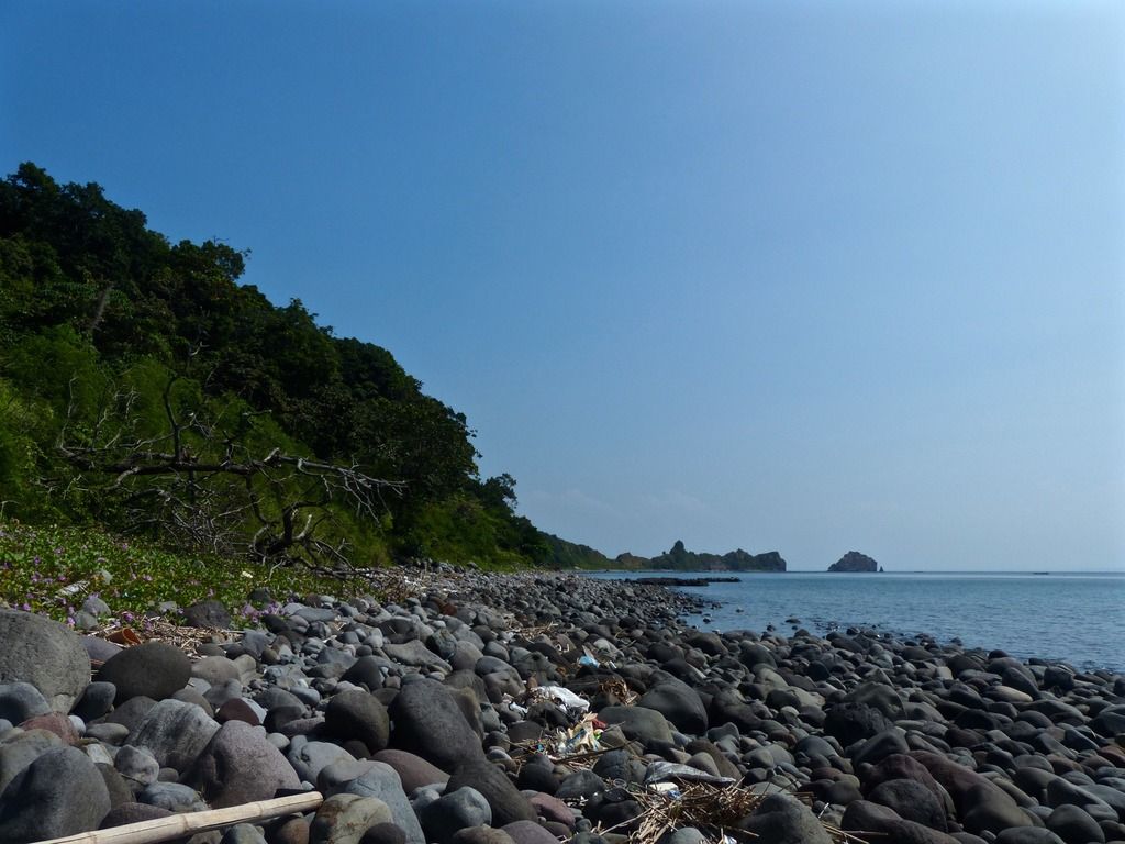 Then I took another facing east.  There are several of these sorts of things along the beach. I believe the fishermen use them to locate the cages they leave in the water. 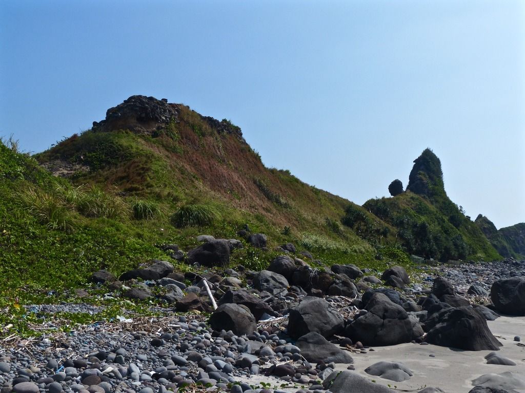 The geological structures in the area are really quite beautiful. 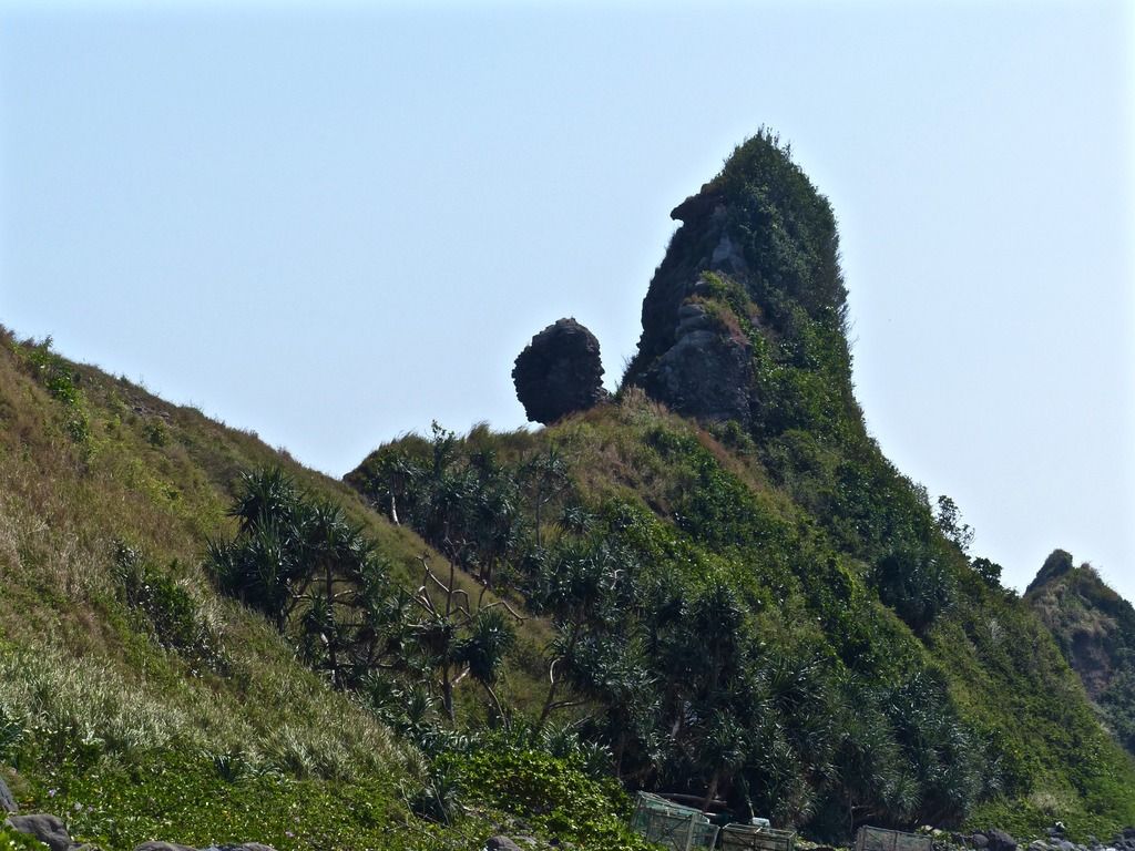 Note the fishermen cages in the foreground. 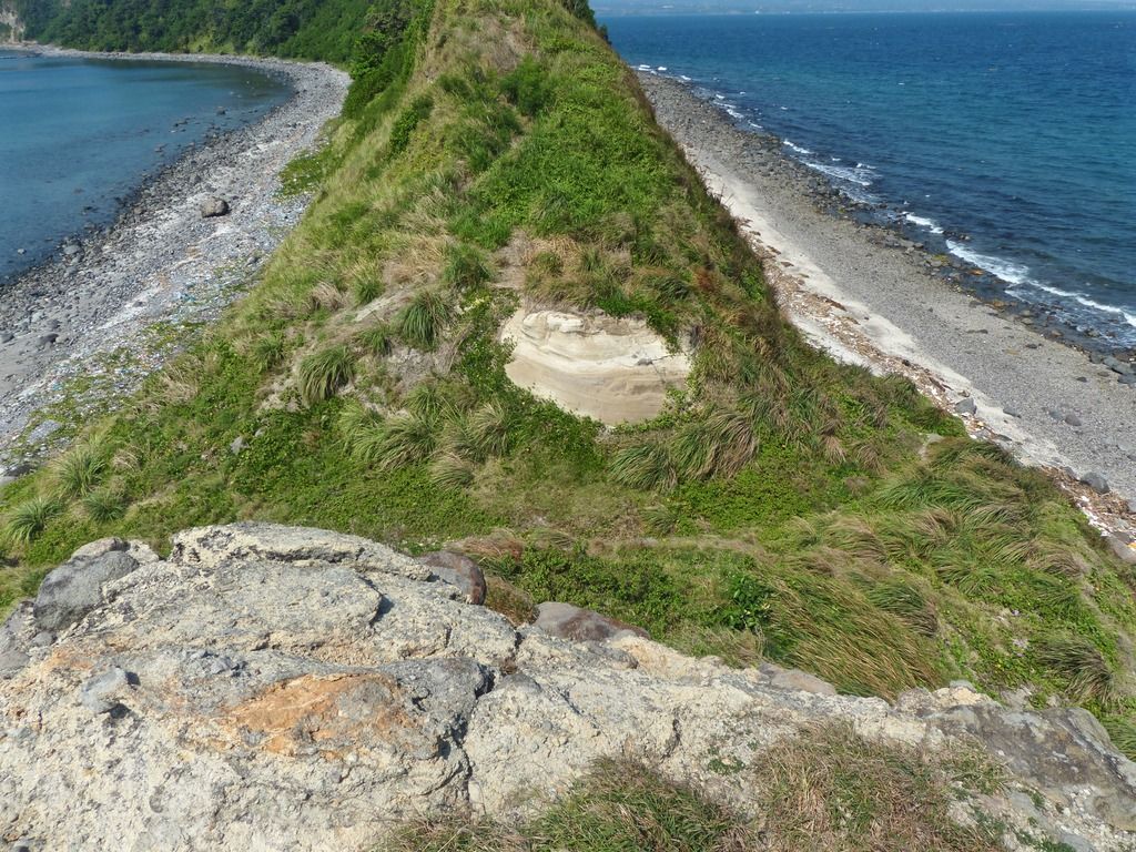 I climbed up the east side of the cut. 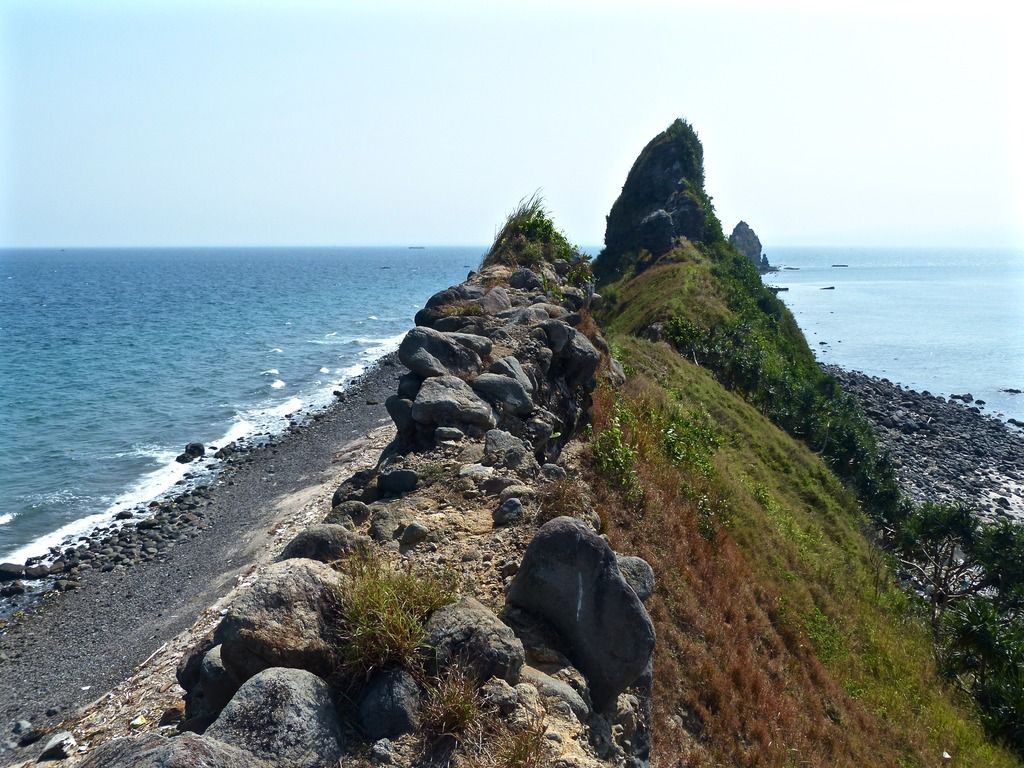 Facing east from the same point as the last photo. 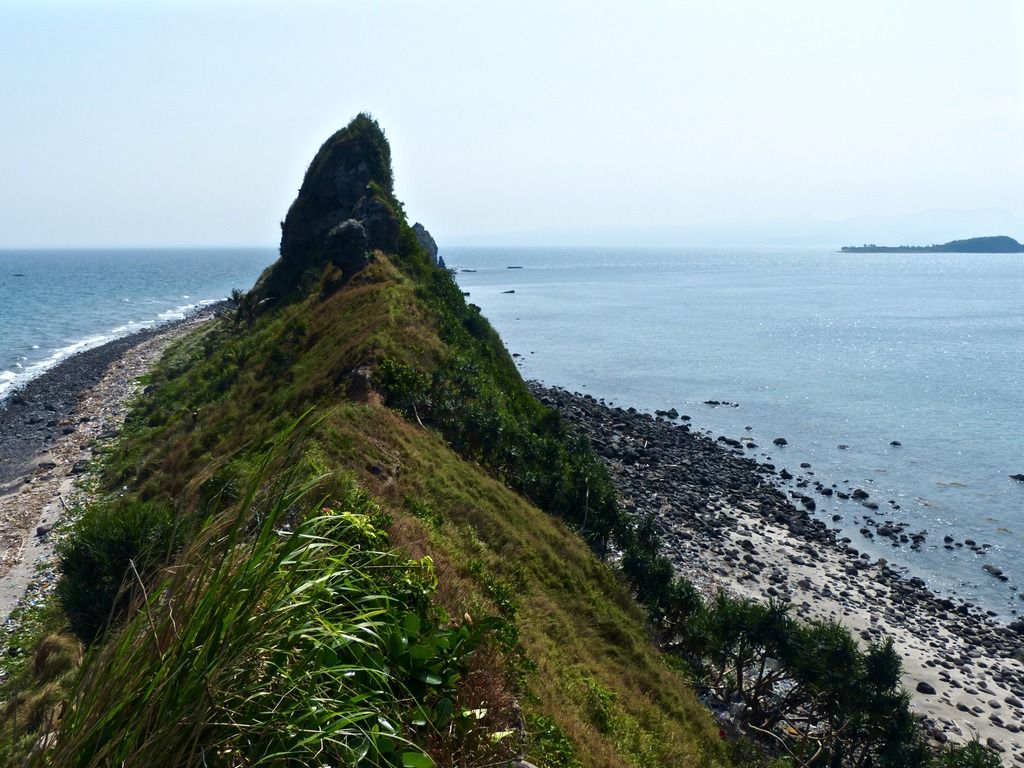 I walked a little further east. 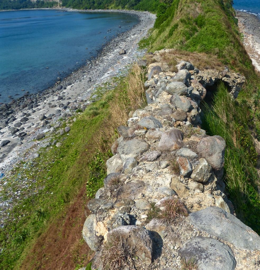 Looking back to the crumbly rock walkway. 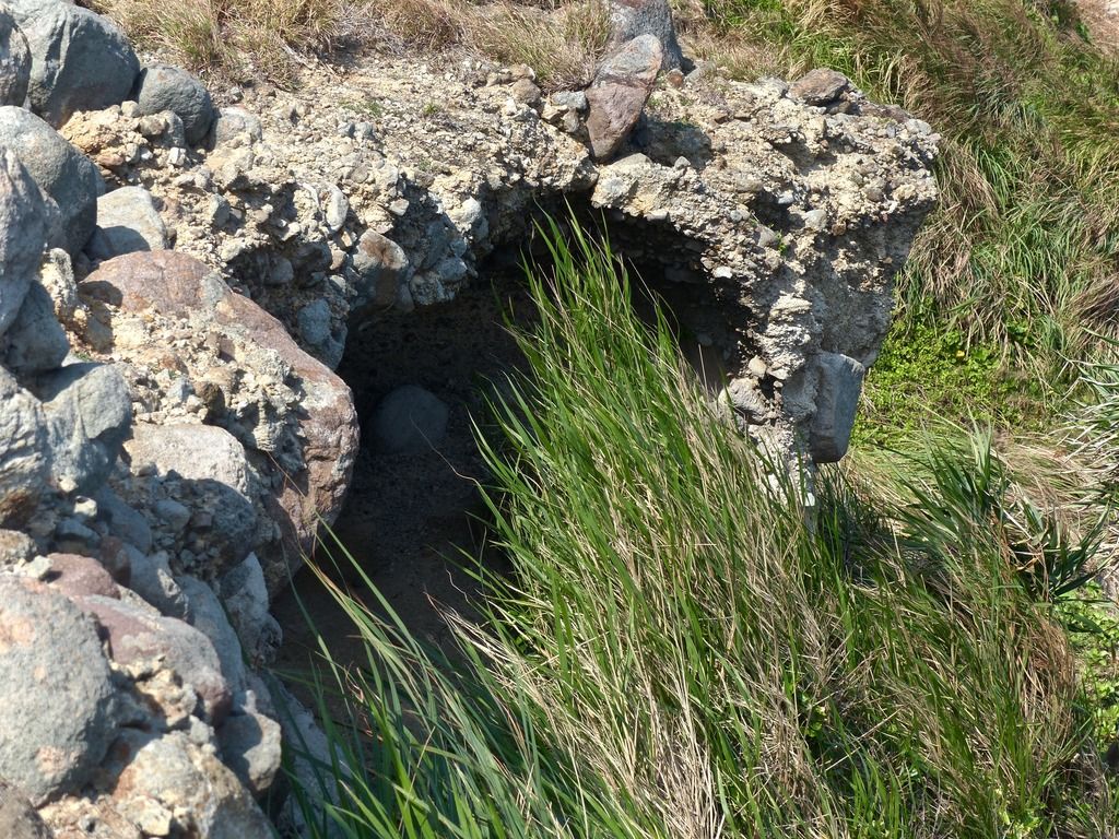 The edges of the rocky area have eroded. 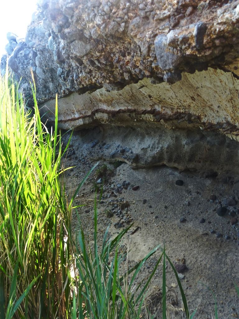 I took a number of photos of the landscape. It's weird for me to think about how many people died in the area during the siege. I also know very little about what the emplacements looked like during the war. How much of these formations are due to erosion and how many of them are the remains of man made dugouts and the like? 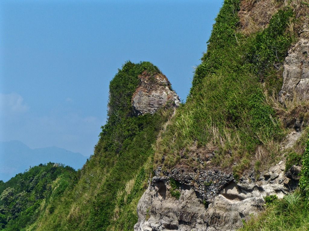 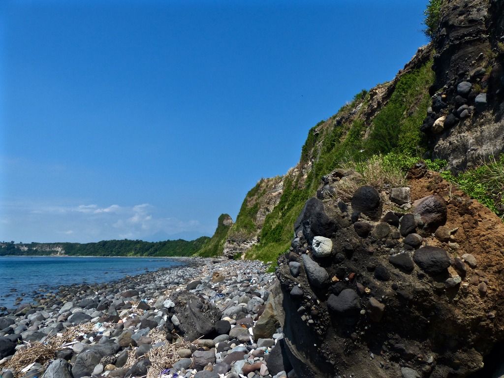 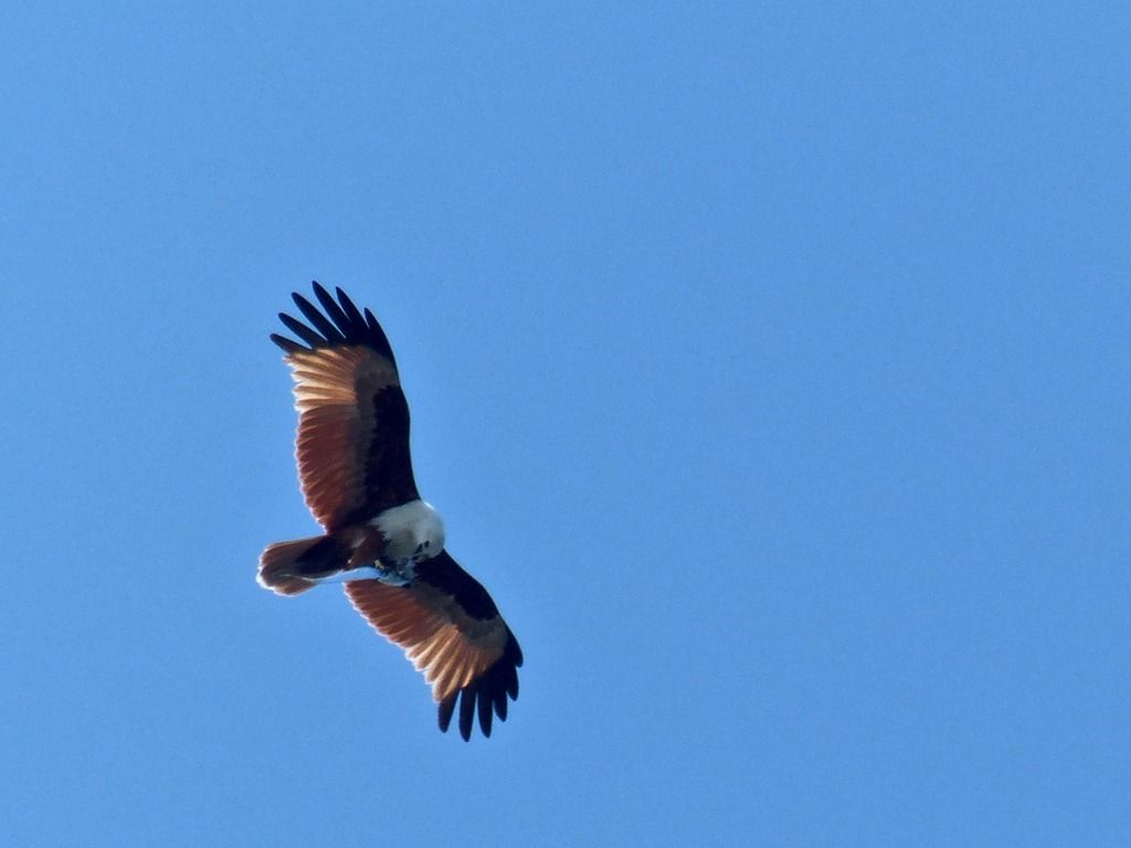 A bird of prey in the sky with a fish. 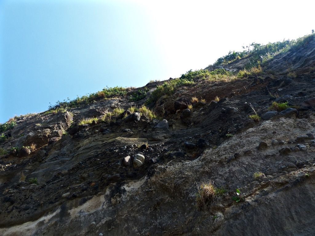 Looking up the cliff. 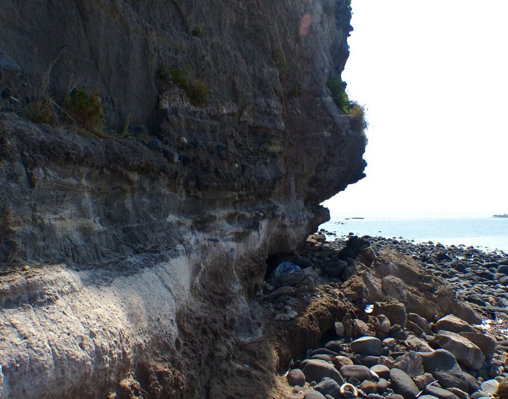 About to round the easternmost point of the island. 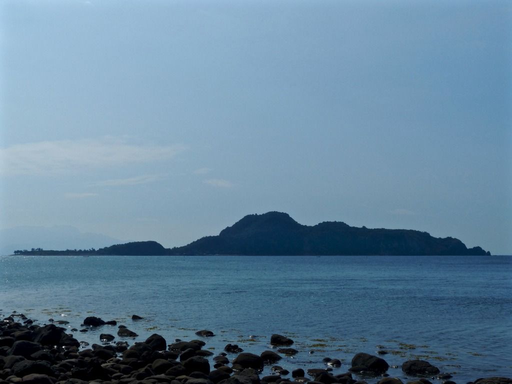 This is as close to Caballo as I've ever been. 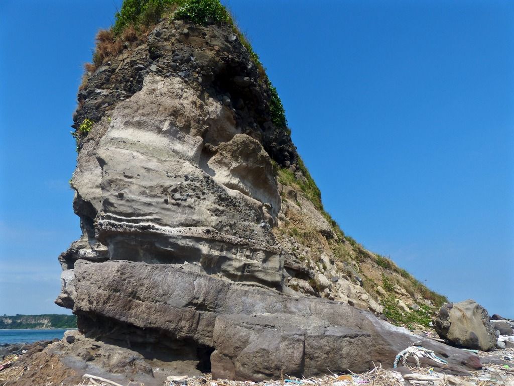 East Point. 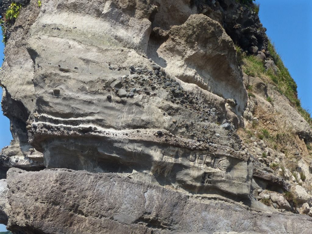 A close up on East Point and some of the graffiti carved into the soft stone. 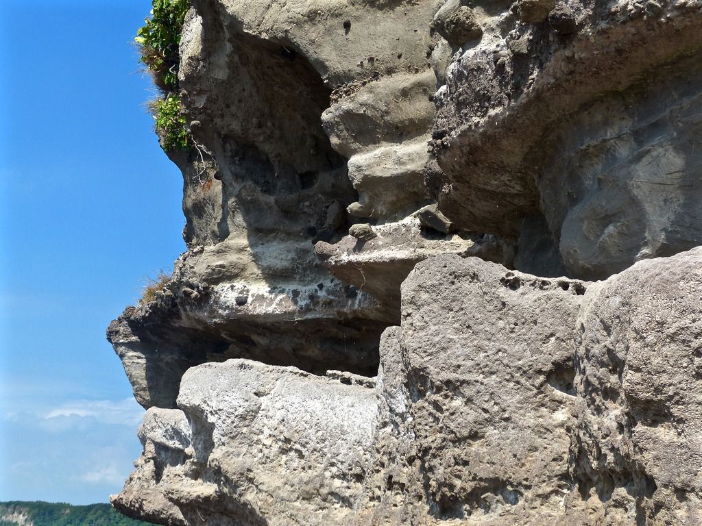 Another close up on East Point. 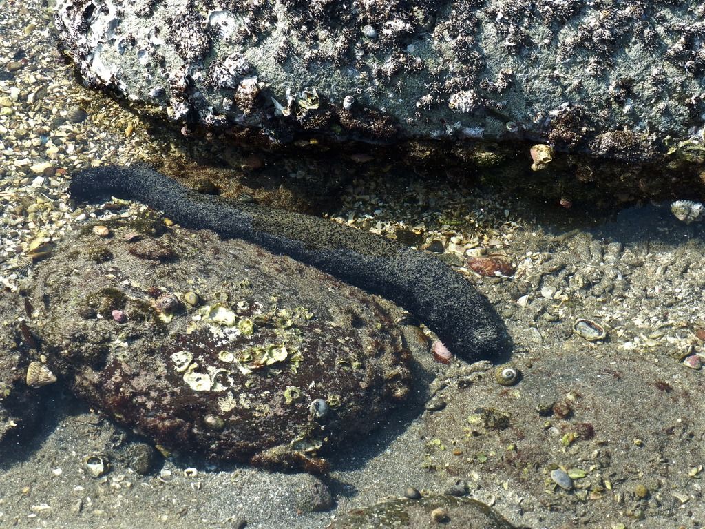 Depending on the time of day, the tide between East Point and Razor Island can vary considerably. This is one of the many sea cucumbers I saw on my way. 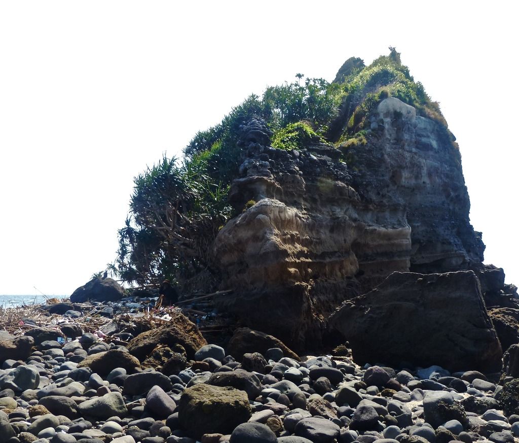 Here's the shot I took of Razor Island. There were a number of fisherman eating lunch in the area so I didn't want to disturb them to take more photos. On a future trip I'd like to climb to the top of the island and take some photos from there. |
|
|
|
Post by EXO on Feb 5, 2017 7:37:29 GMT 8
Pierce, Just giving you a "thumbs up' isn't enough. That's been a great series you have done there, your contribution to the public domain knowledge of the island's trails and sights has been wonderful. You really have excelled, you have every right to feel good at your accomplishment. Future generations need their contemporary experts, and your scholarship is going to be well based. Traveling the trails is one of the things it takes. Thanks for your contribution. Paul Whitman (Just an afterthought: There are two other "giants" we should not ever cease to respect and appreciate when it comes to their posting contributions to the public domain knowledge of Corregidor and its trails. I called them "Trailmasters", for that is what they are. Thanks John Moffitt (Fots2)and Karl Welteke. I was so keen on John's posts, I converted them to permanent feature article, FIELD NOTES, which can be found here. John's Field Notes really do set the standard. Unfortunately, time got the better of me, and I literally couldn't keep up the pace!
So if there are any budding website creators out there, I would certainly encourage you to make permanent pages around the exploits of our great Trailmasters, and I will link to them.) |
|
|
|
Post by beirutvet on Feb 5, 2017 10:12:28 GMT 8
Pierce
Ditto to what EXO wrote. Just a fabulous presentation.
|
|