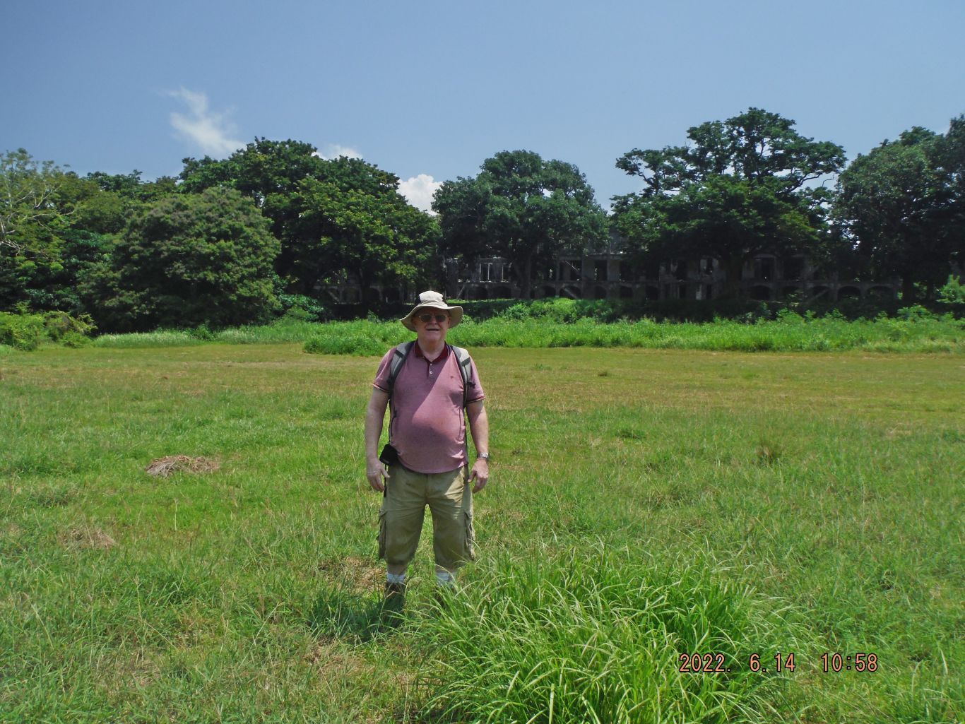
Corregidor Tailend Walk 06-16-2022
3rd Day, Thursday the 16th of June 2022. (50 images)
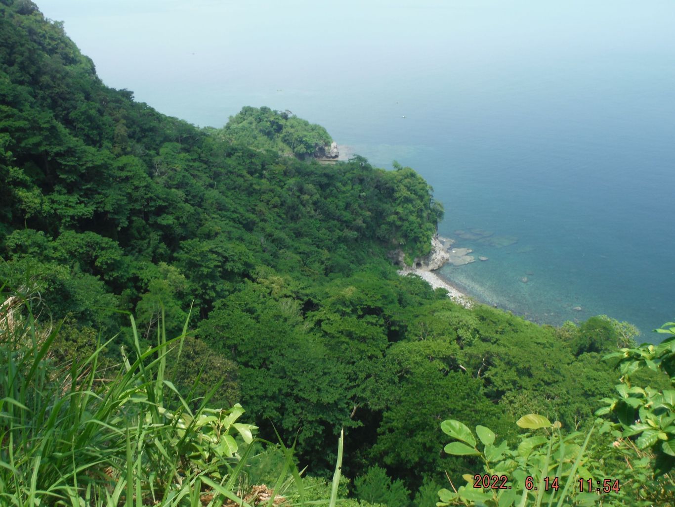
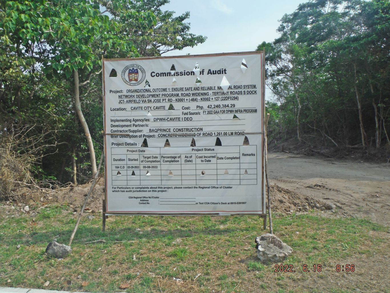
Today the Corregidor Tailend was our goal because we heard a lot of concrete projects are going on there. We decided to go thru the Malinta Hill; the way it is not steep like the north road going around Malinta Hill and is more interesting.
First my diary entry for that day:
3rd Day, Thursday the 16th of June 2022.
Today the Corregidor Tailend was our goal because we heard a lot of concrete projects are going on there.
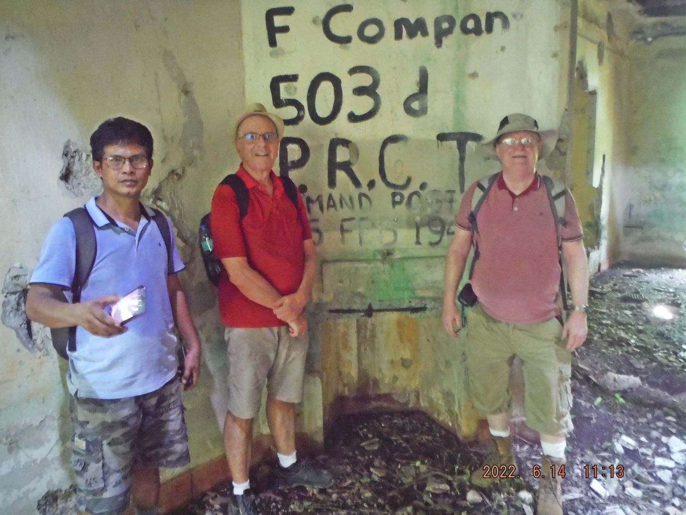
Three of us started by going thru the Malinta Tunnel and check it out. The 4th man stayed behind to possible hitch a ride with the contractors, meet us and take us all the way to Kindley Airfield.
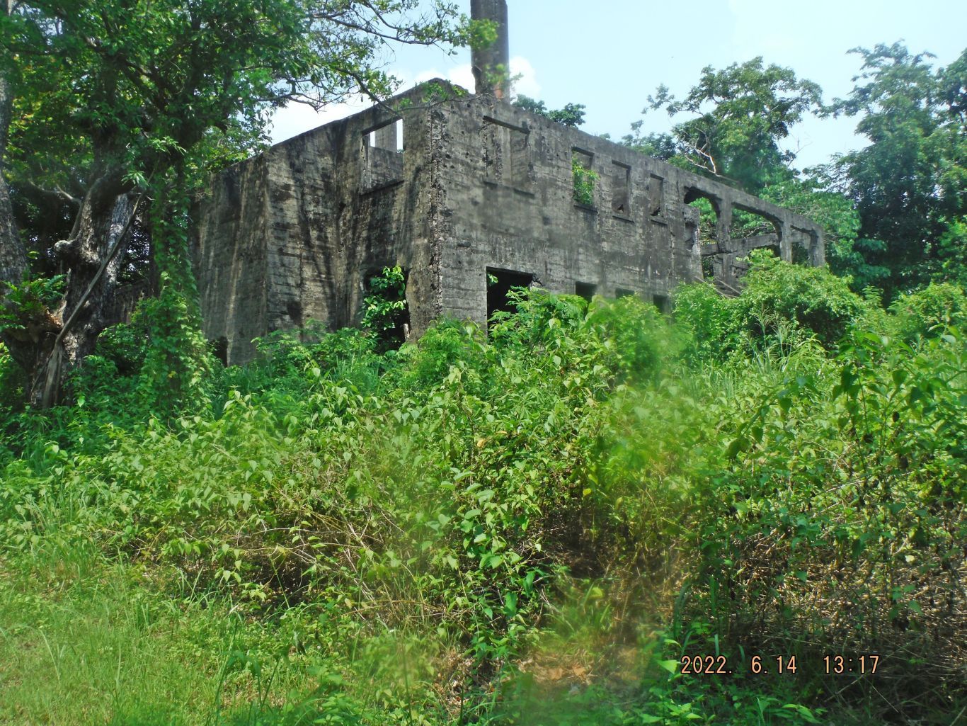
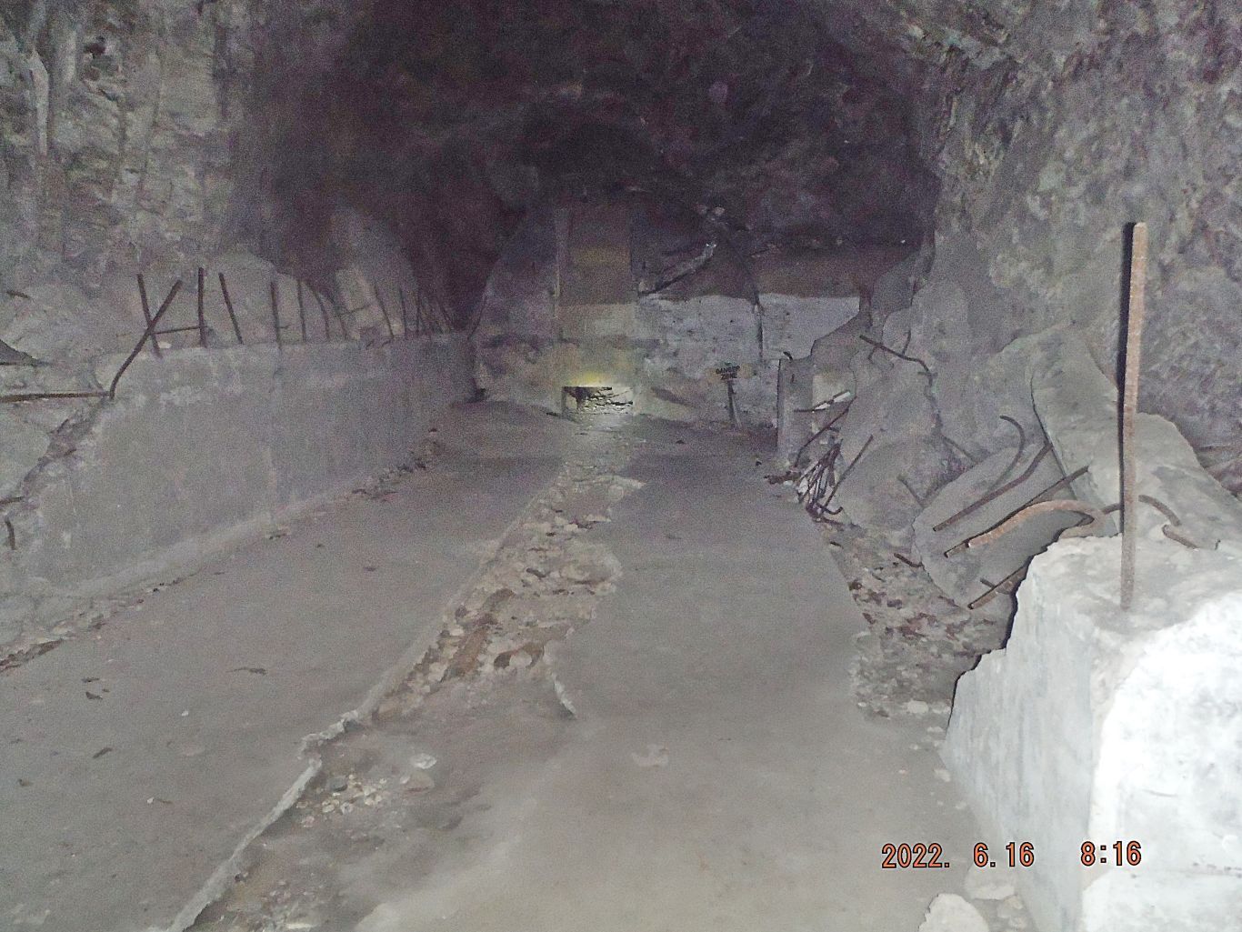
First we checked out the Fuel section of the Malinta Hill Tunnel and then we did the grand tour, looked at the whole complex. I got the impression that the Hospital Drainage Tunnel has been entered but I could be wrong.
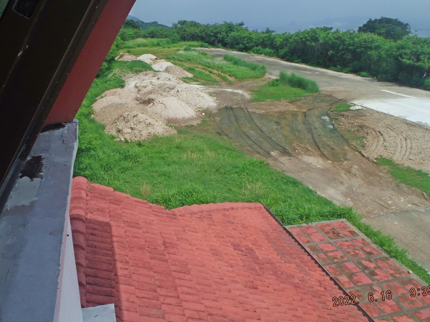
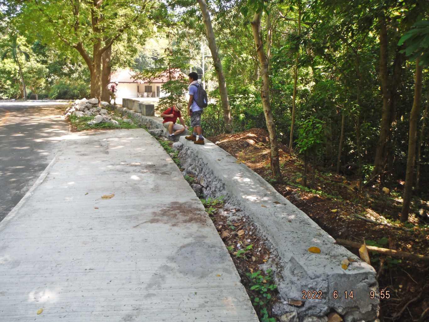
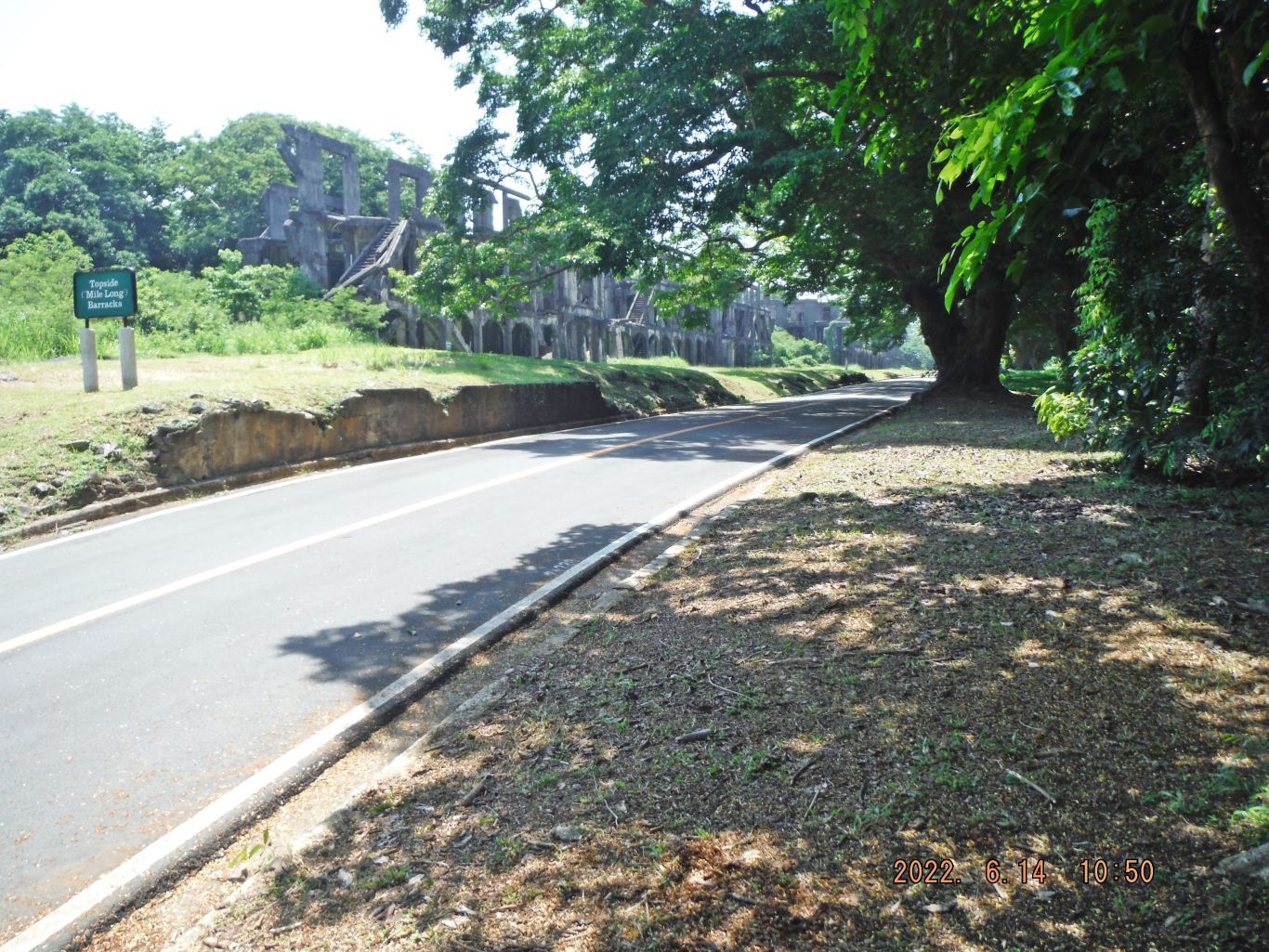
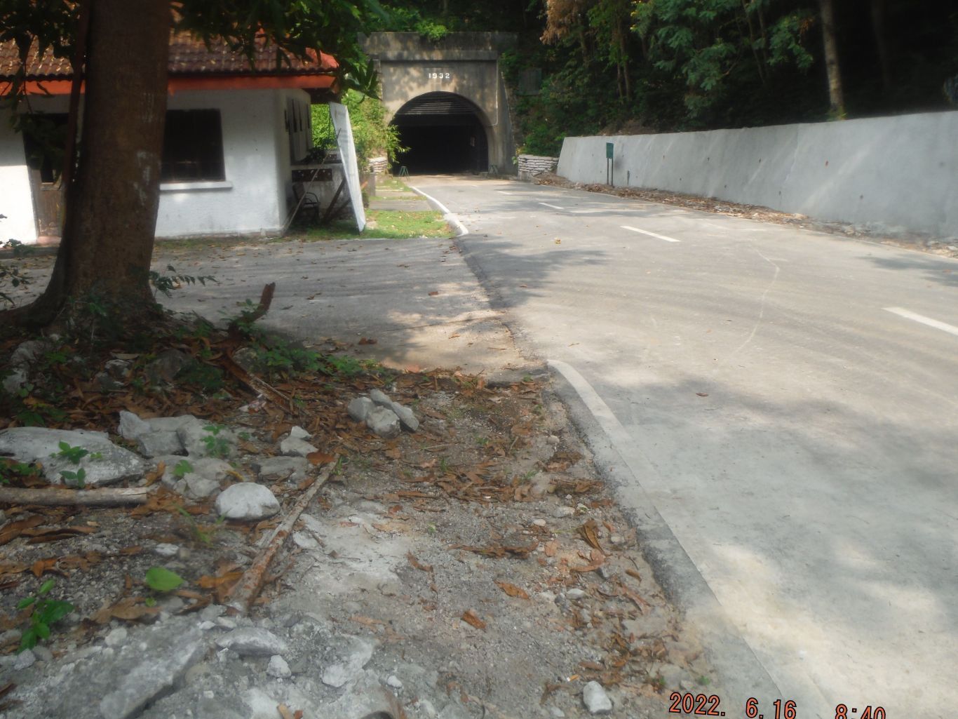
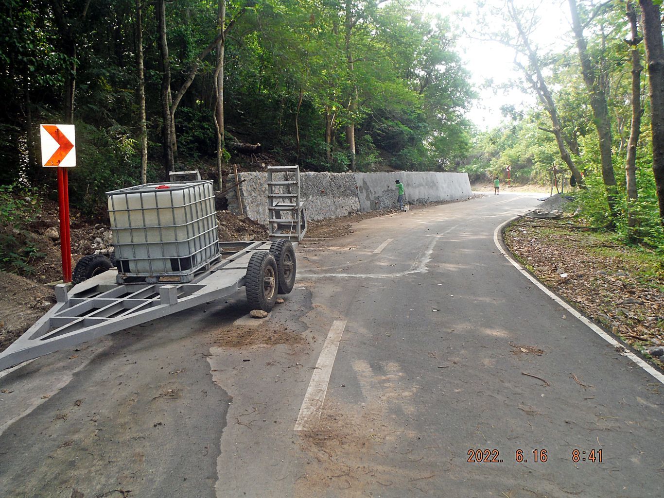
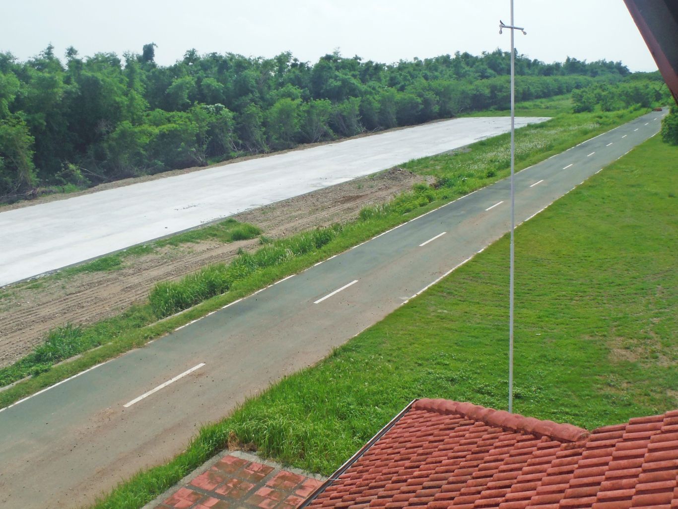
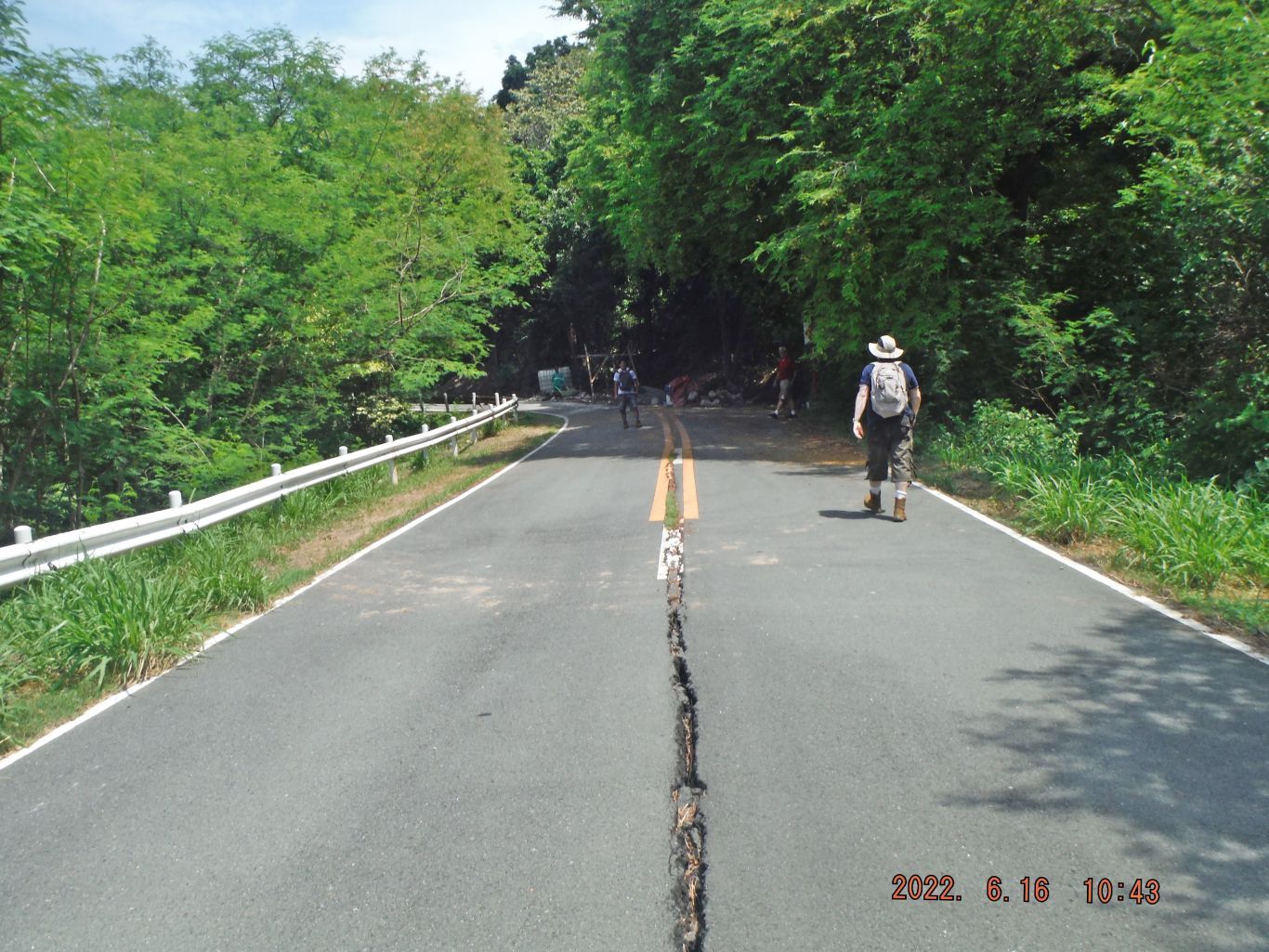
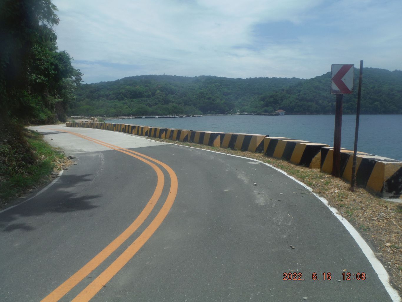
At the east end of the Malinta Hill Tunnel, is the Sound and Light ticket building and thankfully the toilet worked. The road embankment project has been started here and is in progress moving east along the Tunnel road.
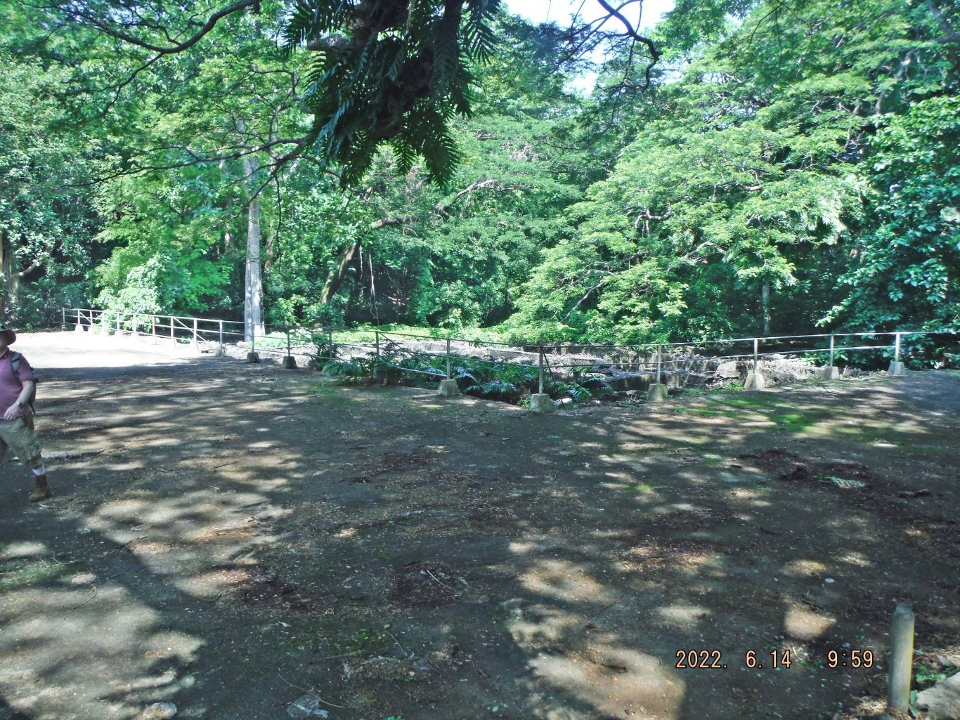
On our way to the intersection of the tunnel road and the Corregidor North Road we had a look at the concrete infantry trench close to Malinta Hill and the concrete blocks that were designed and placed east of the tunnel as tank barriers.
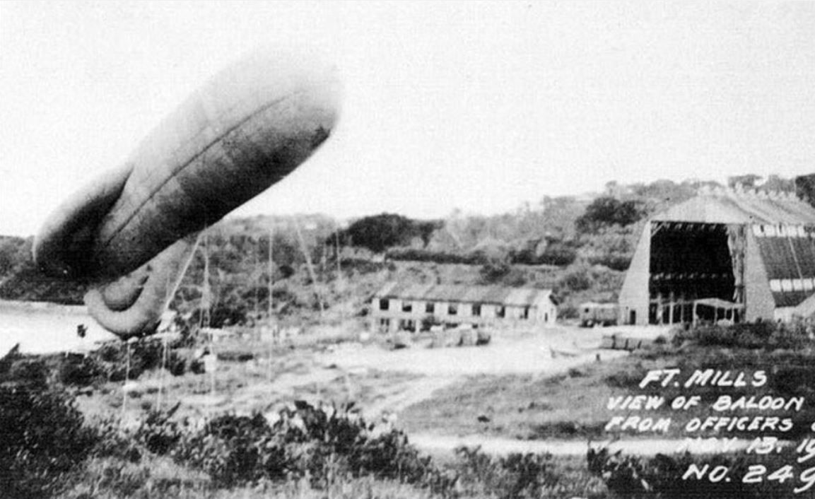
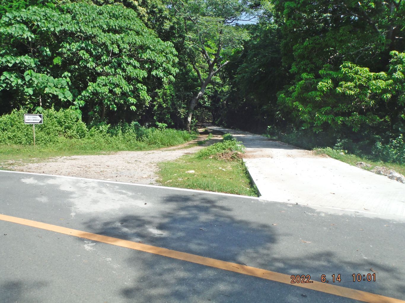
At this intersection the new road to the Fort Mills Officer Beach starts here now. I will walk it later. We also viewed the fort Mills, Corregidor last east trolley station. At the intersection as planed our 4th partner was able to catch a ride and the ride took us all the way to Kindley Airfield.
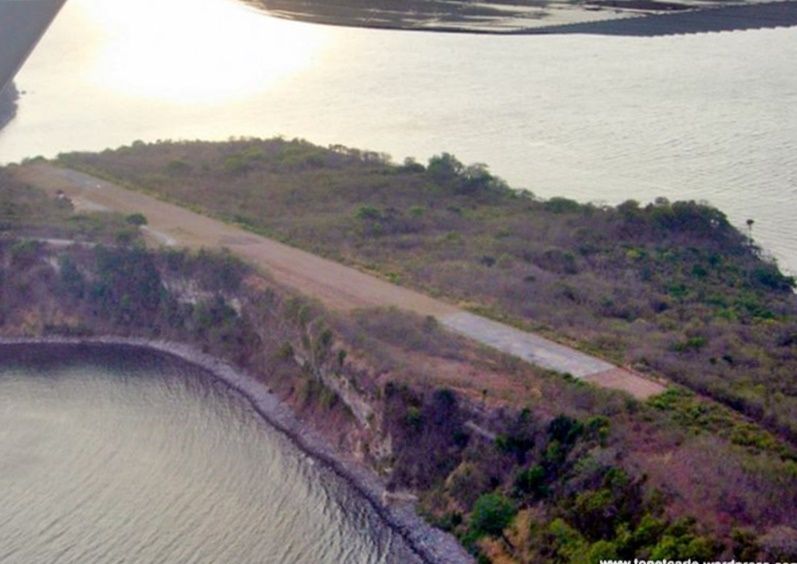
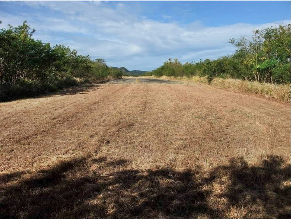
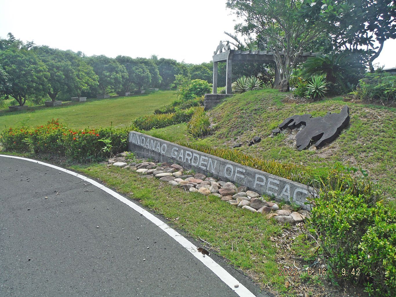
At this area we looked at the airfield, the Jabidah Memorial at the Mindanao Garden of peace, Battery Levagood with its two Panama Mounts and the Navy Intercept tunnel. I produced separate presentation for these 4 venues.
After looking at the Pilipino Heroes Memorial I walked to the new concrete road to the Fort Mills Officer Beach. The road to Kindley Field also is getting a new concrete embankment and drainage ditch.
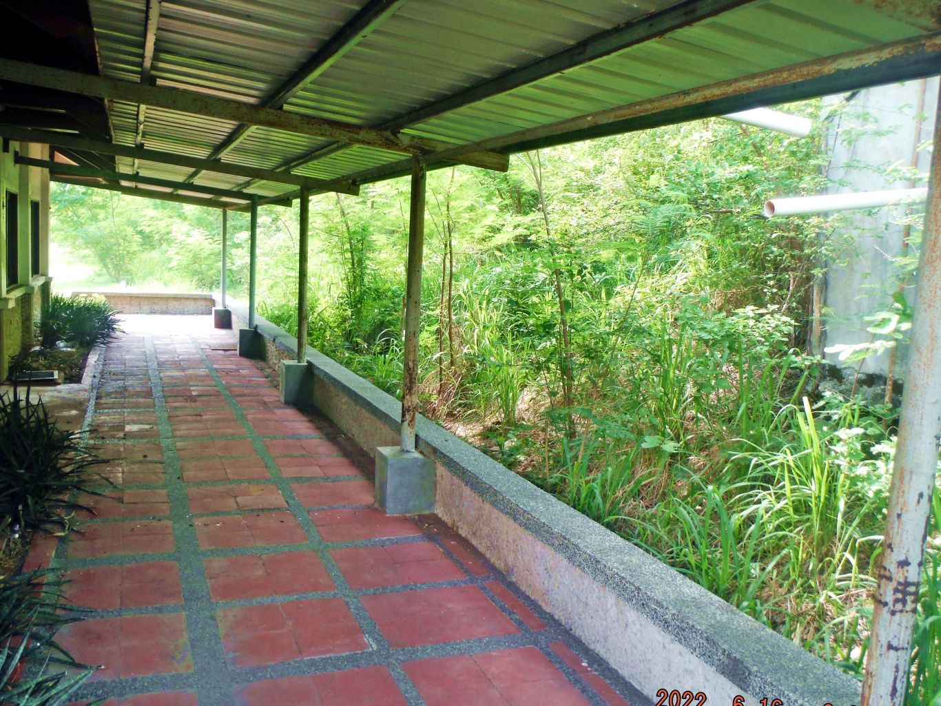
I walked the whole new road to the officer beach and then back to Bottomside and had a short look around there and I called it a day then.
In the evening we prepared our self for an early 7am tomorrow departure, I confirmed it with the Villa Carmen. We also settled our bills; we all were running a tap so there is no small coins and bills problem.
All three days the North Channel was like a lake and our return trip to Bataan was also smooth and dry. My car was ok and we drove north home or to a new location like one of our friend had to do. Several times during the past 3 days it was thundering and lighting but always some distance away and we had no rain.
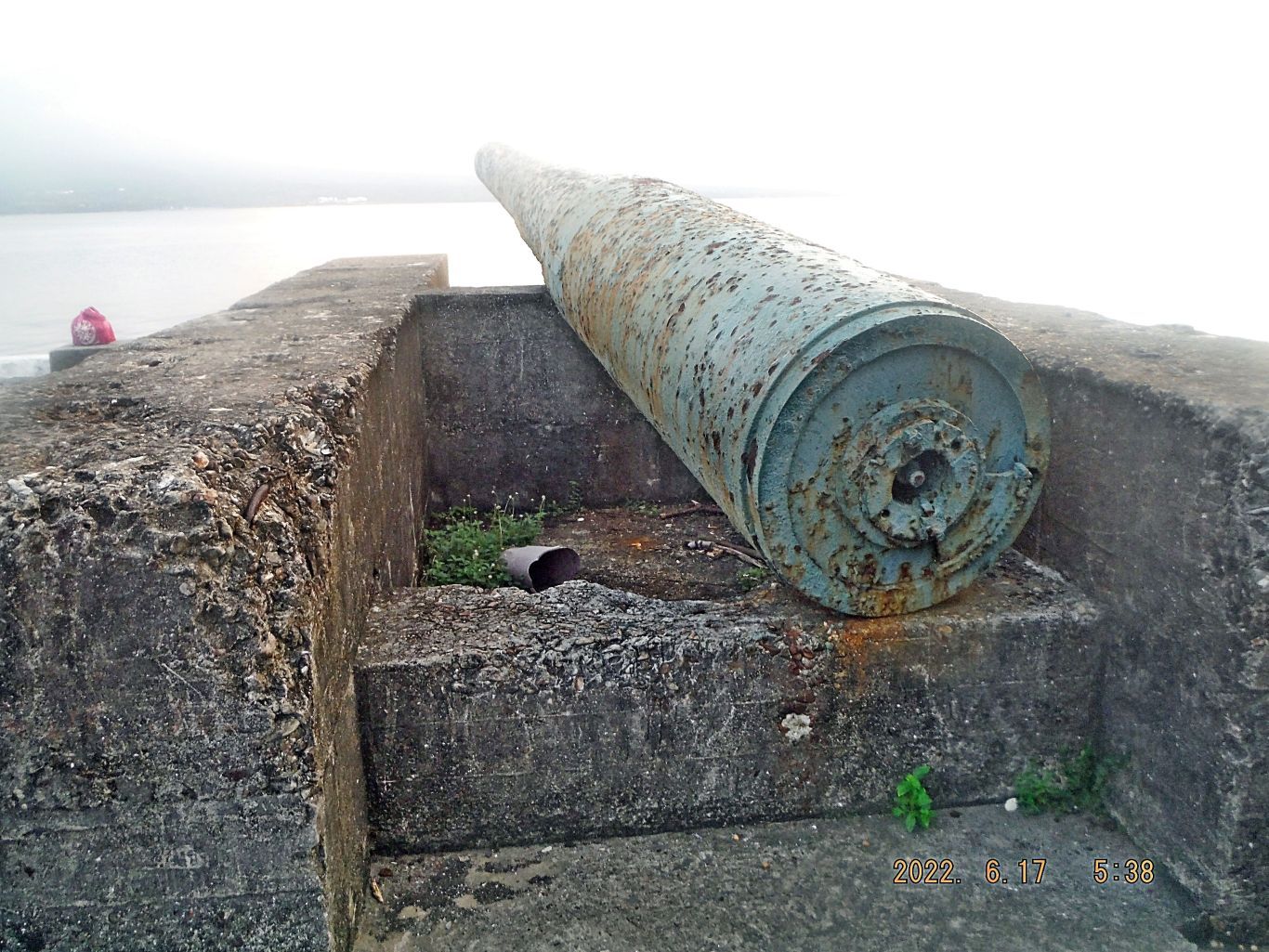
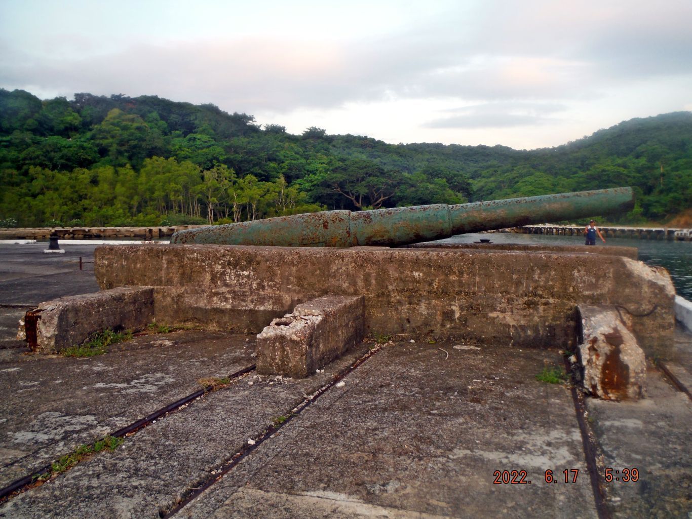
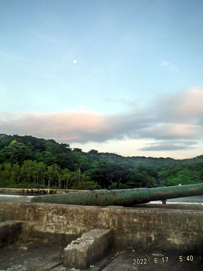
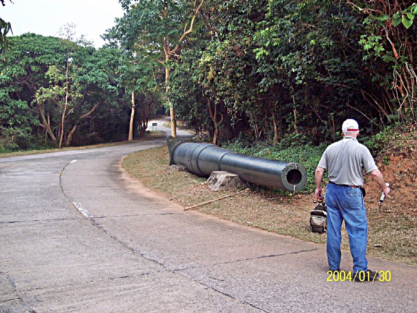
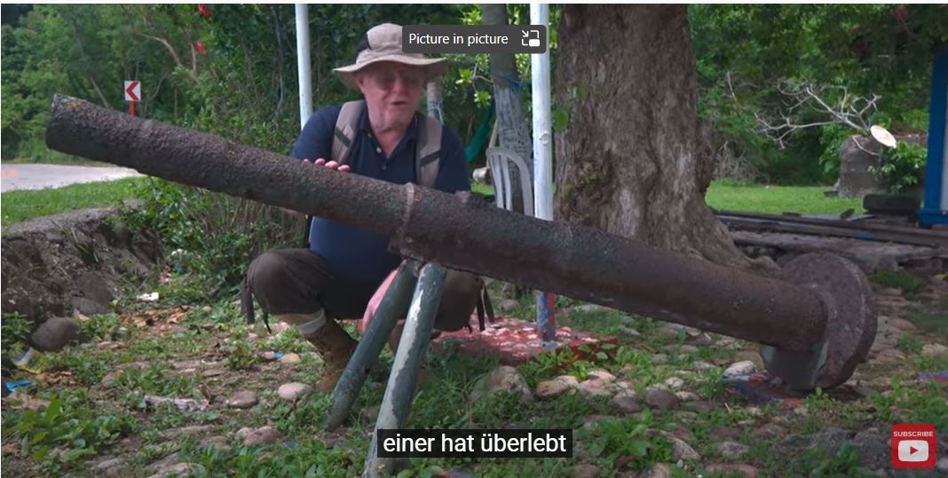
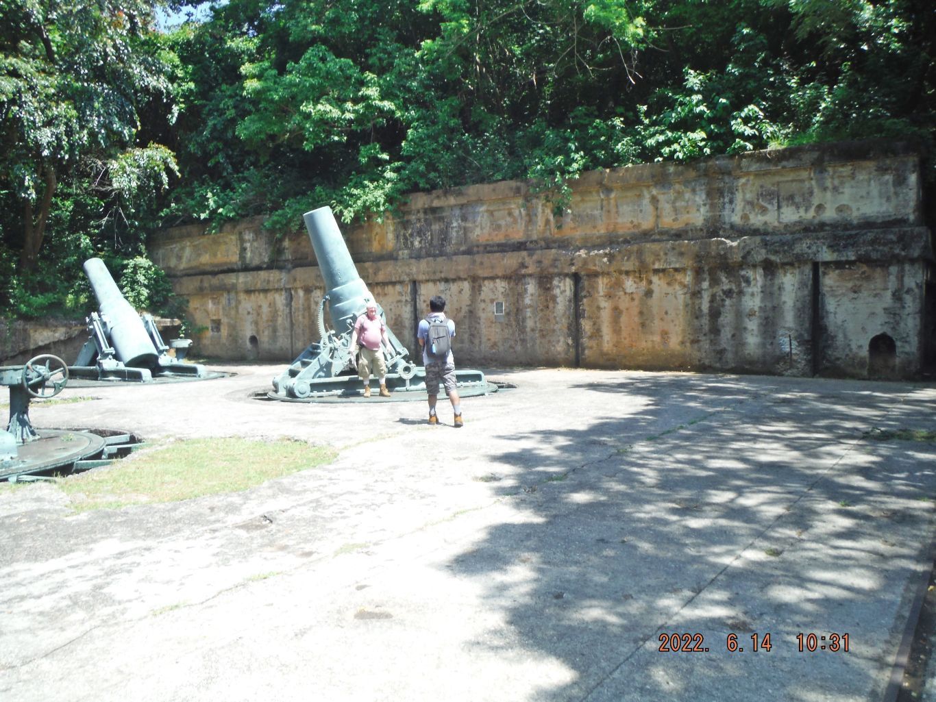
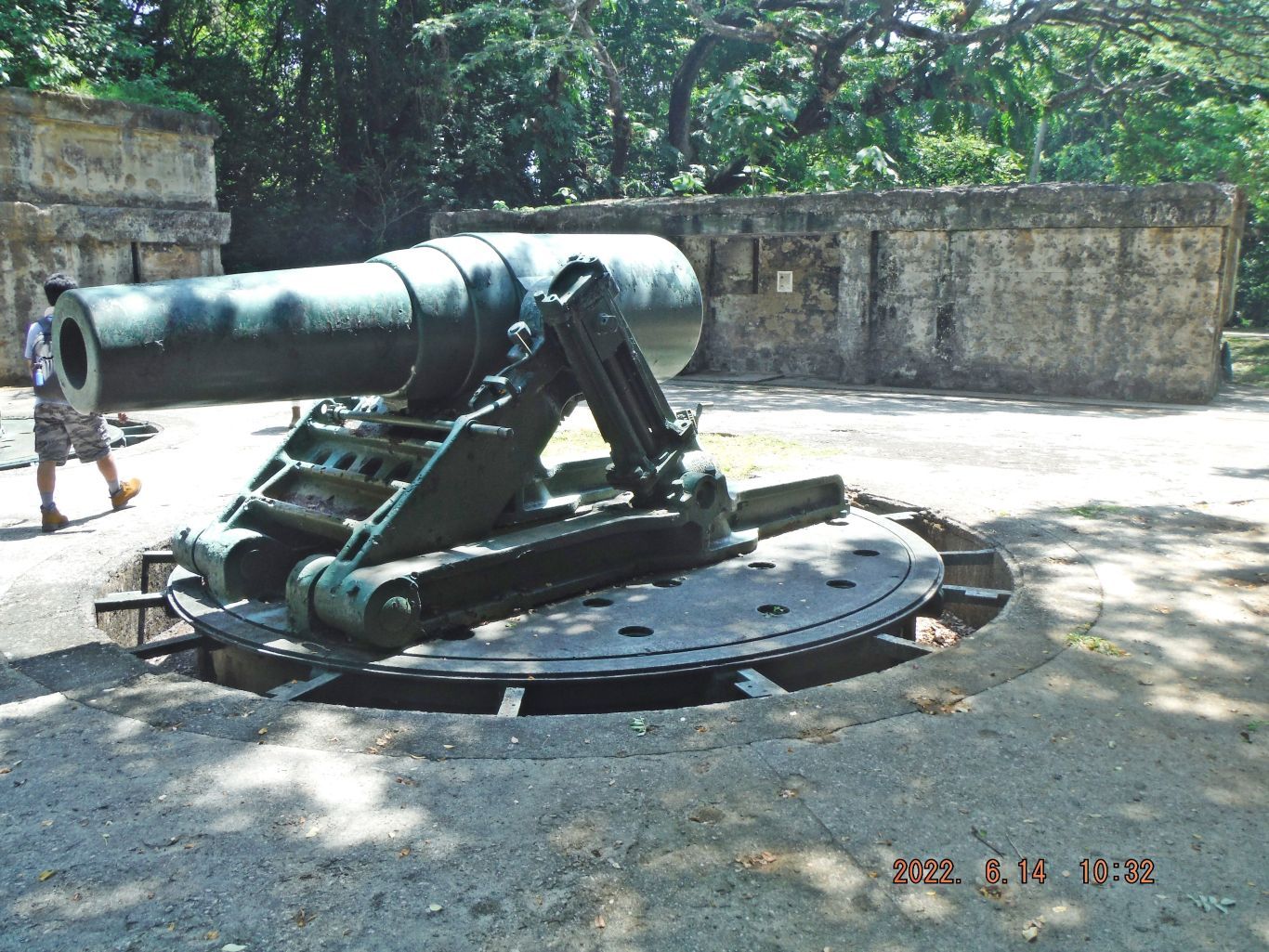
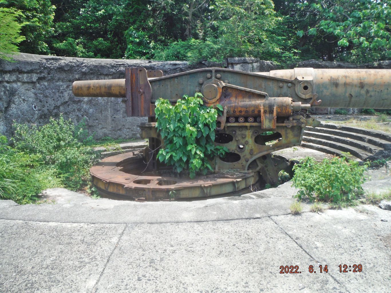
-01. On our way the first stop was the spare 12 Inch Battery Cheney gun Barrel. We assume it placed here before the Corregidor Siege for maintenance and stayed here all this time. We are wondering why the authorities did not use it for the turret replica in Manila Bay at the Dolomite Beach.
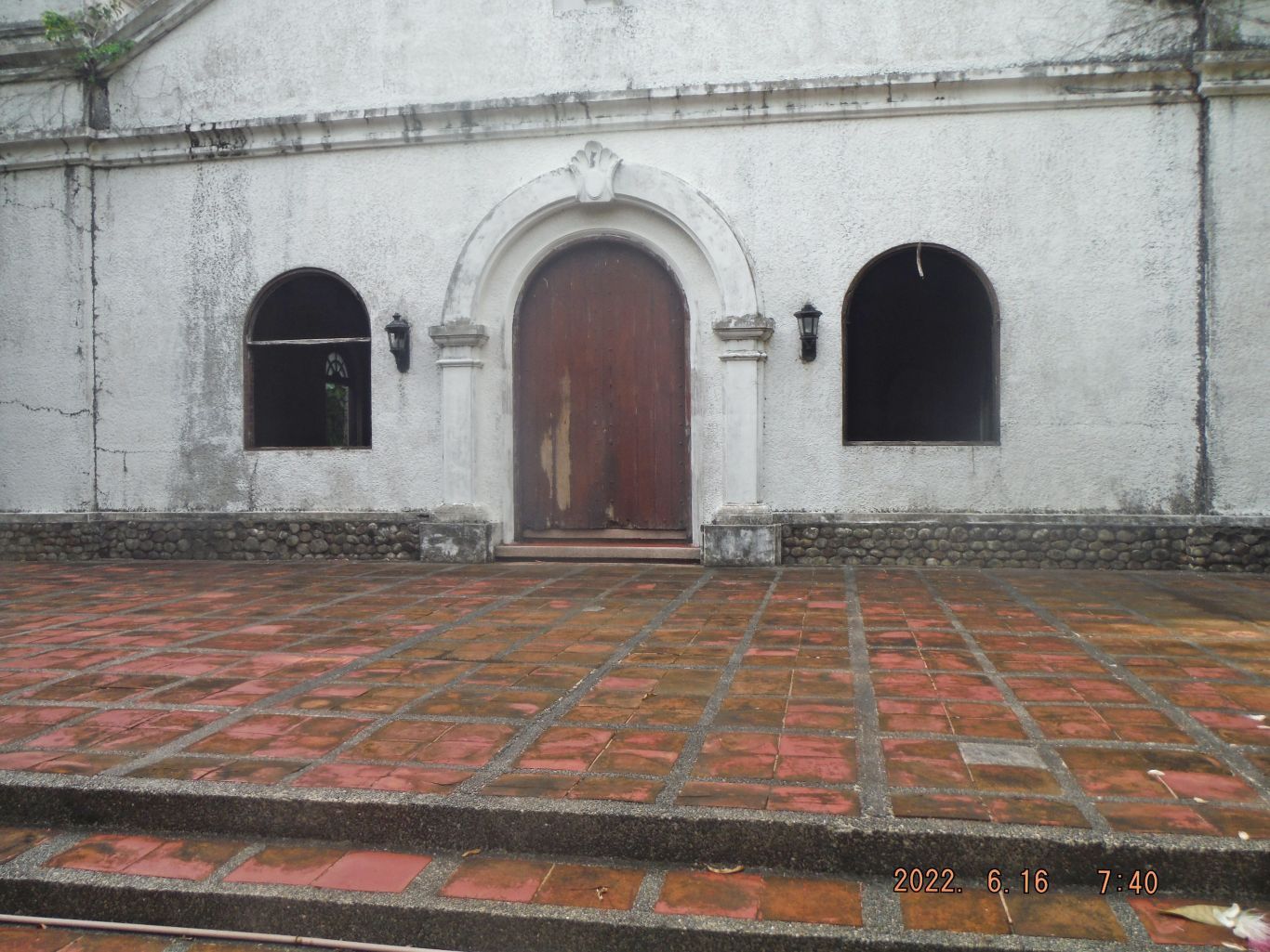
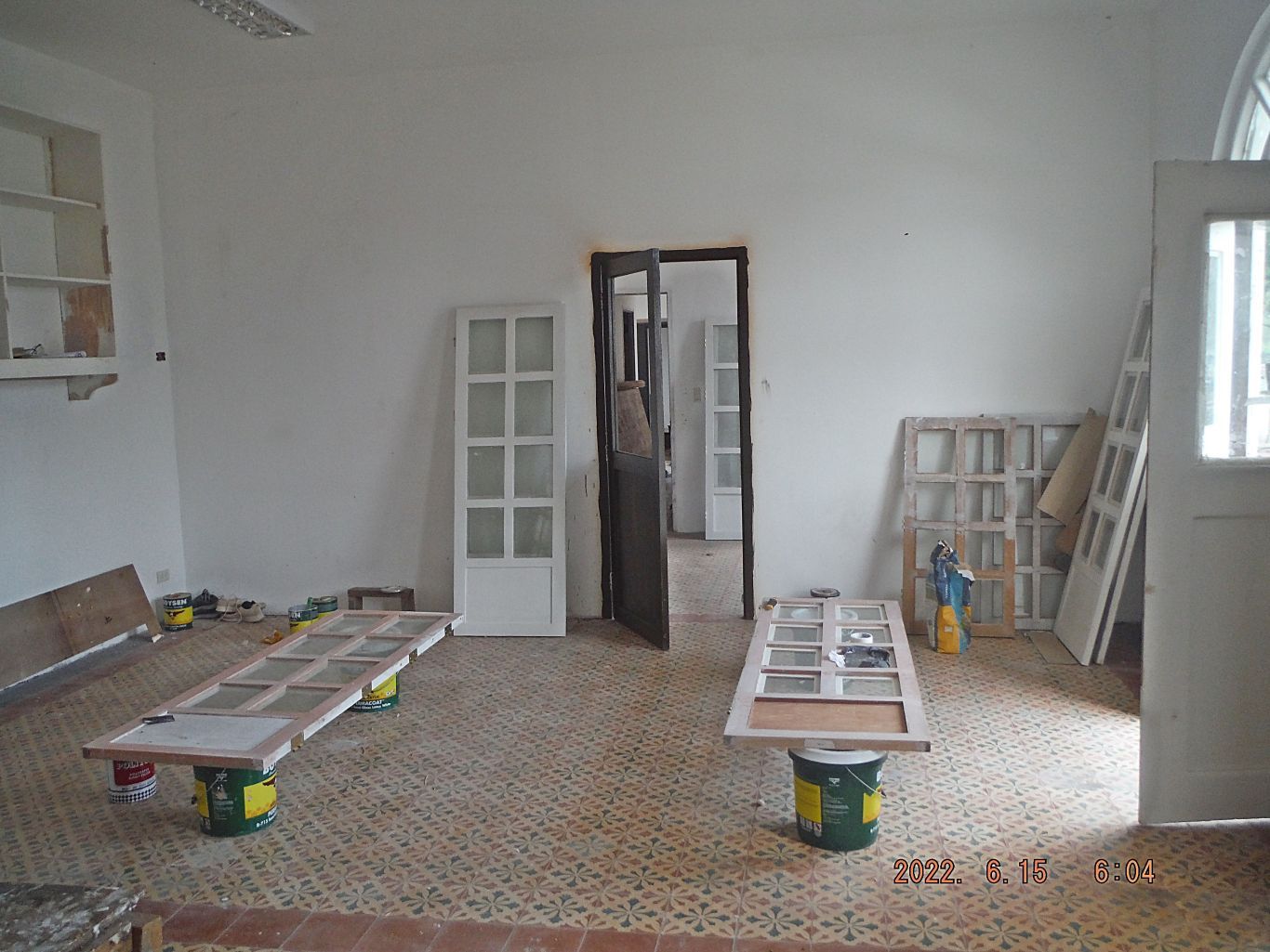
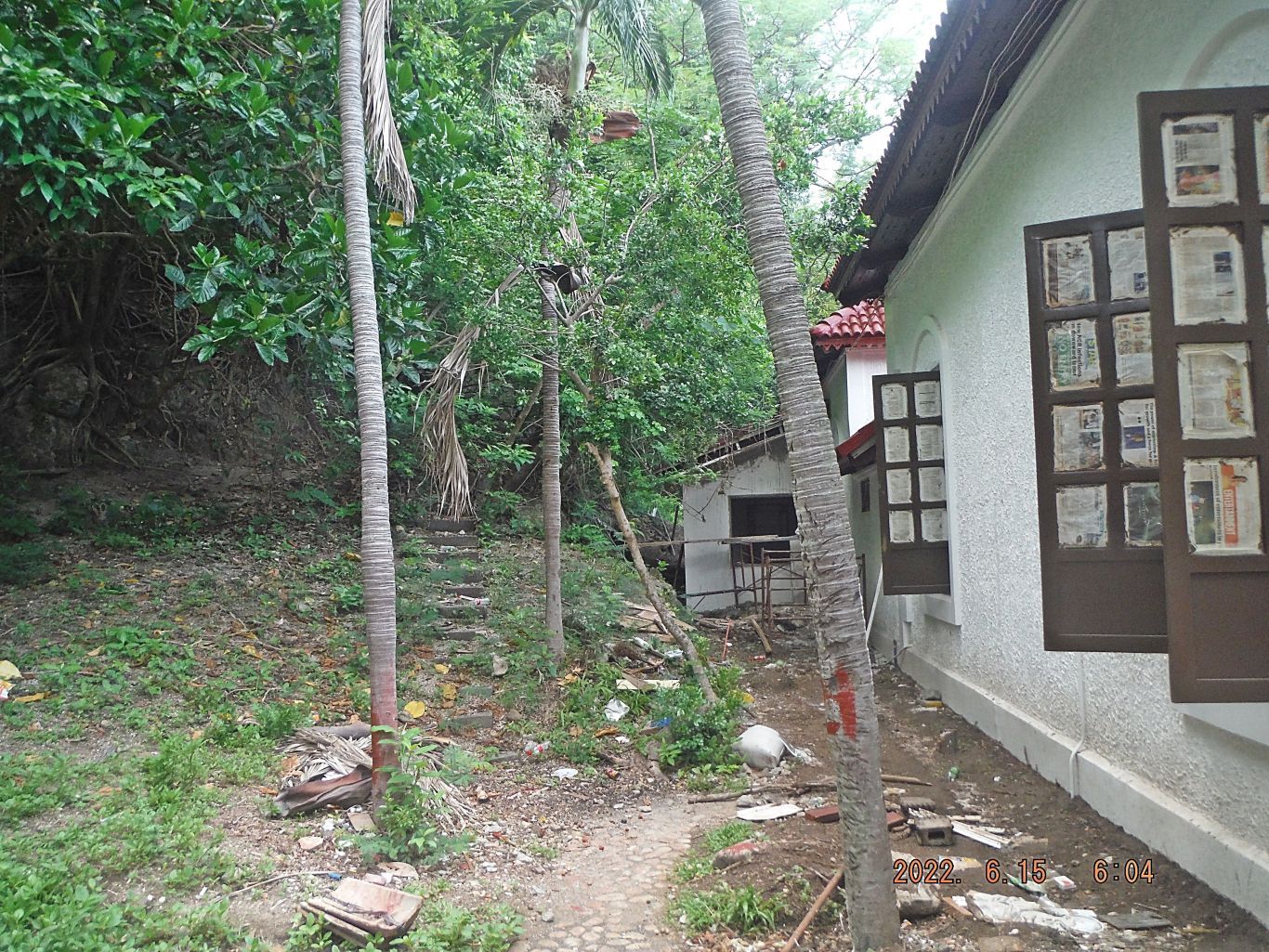
-02. The Corregidor Chapel looks like it needs attention. Some windows have been removed and we don’t know for repair work or just put away for safekeeping.
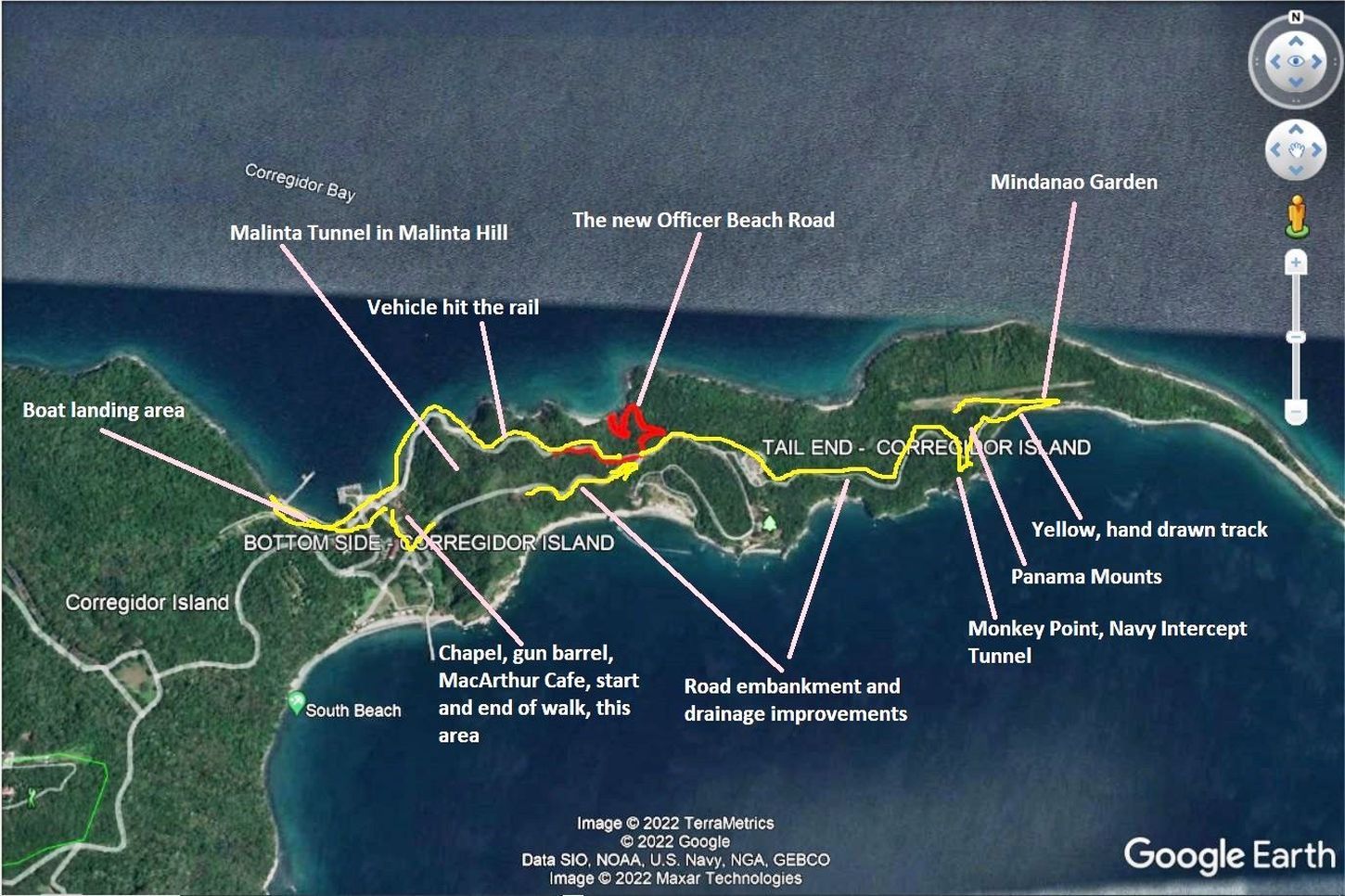
-03. This a Google Earth image with part of my true GPS track and mostly hand-drawn in GPS track with landmarks indicated.
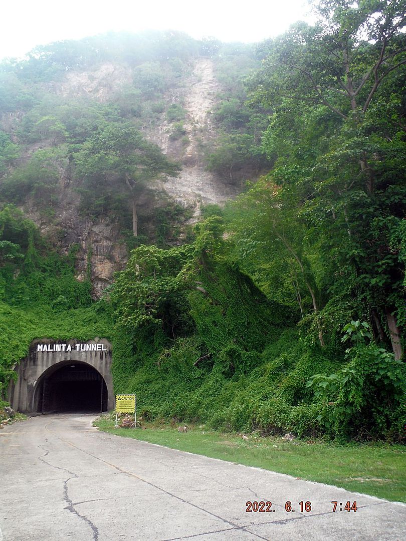
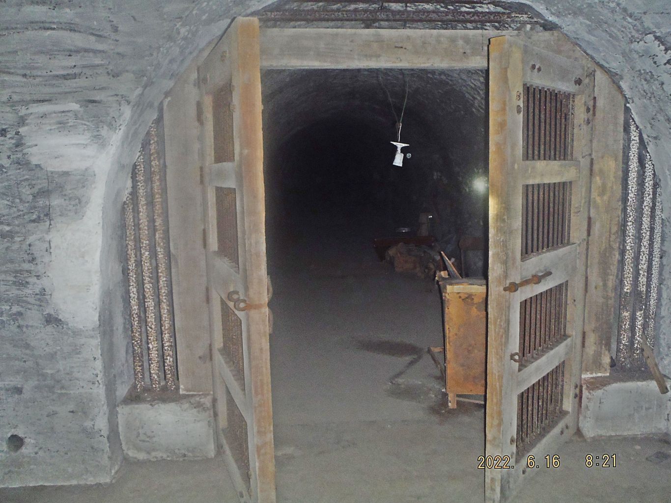
-05. The West Entrance of the Malinta Hill Tunnel.
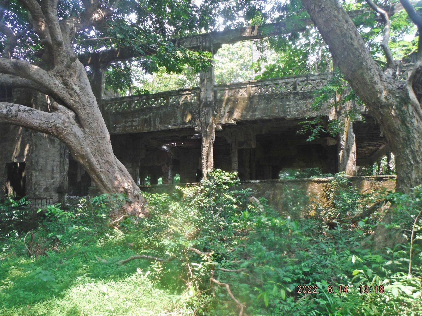
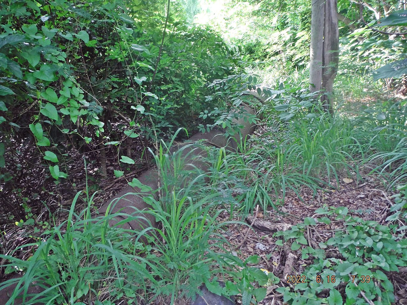
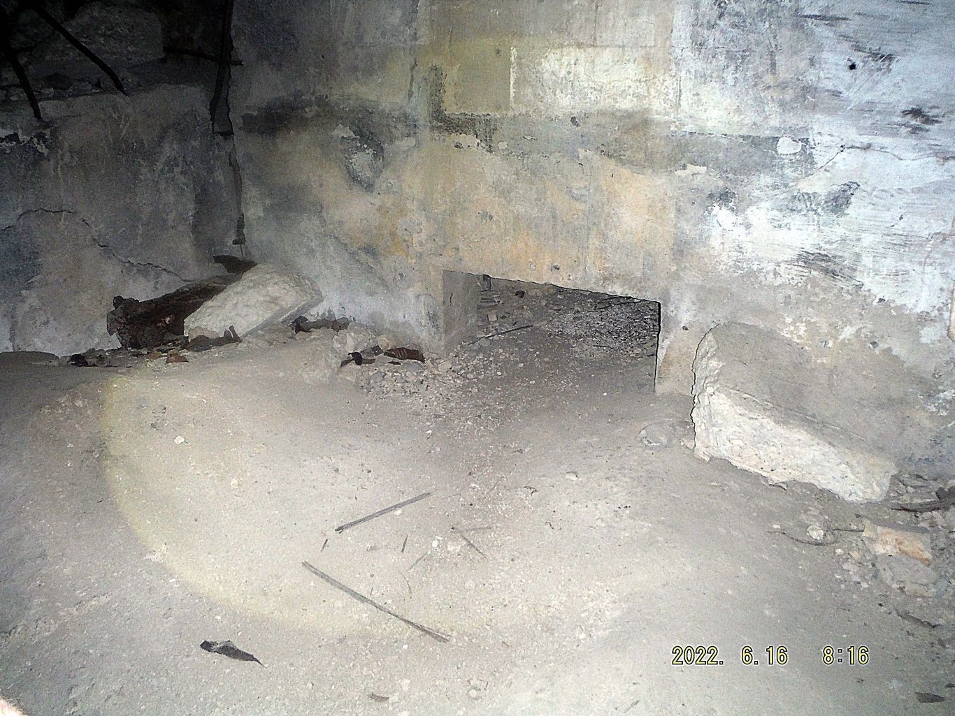
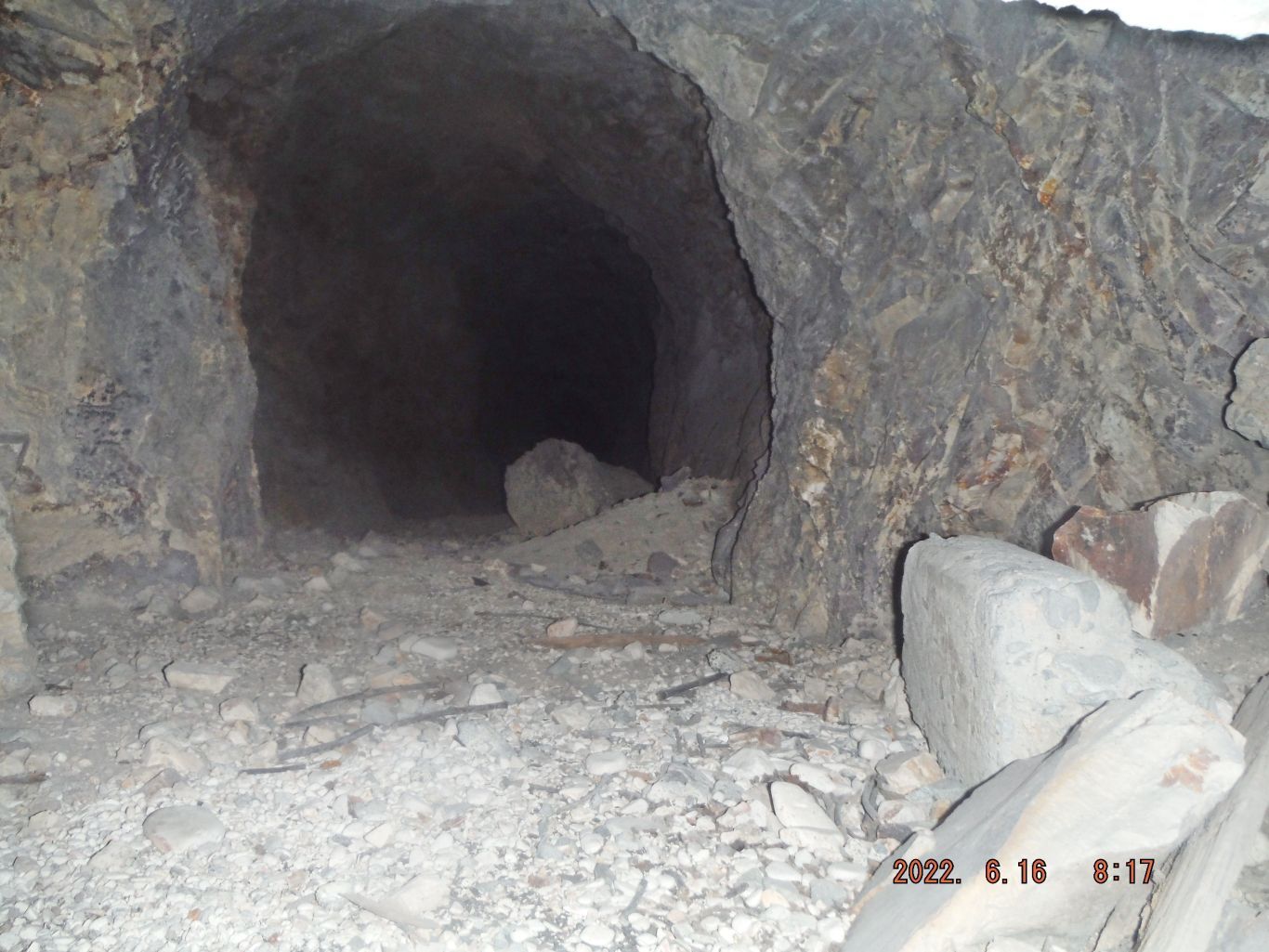
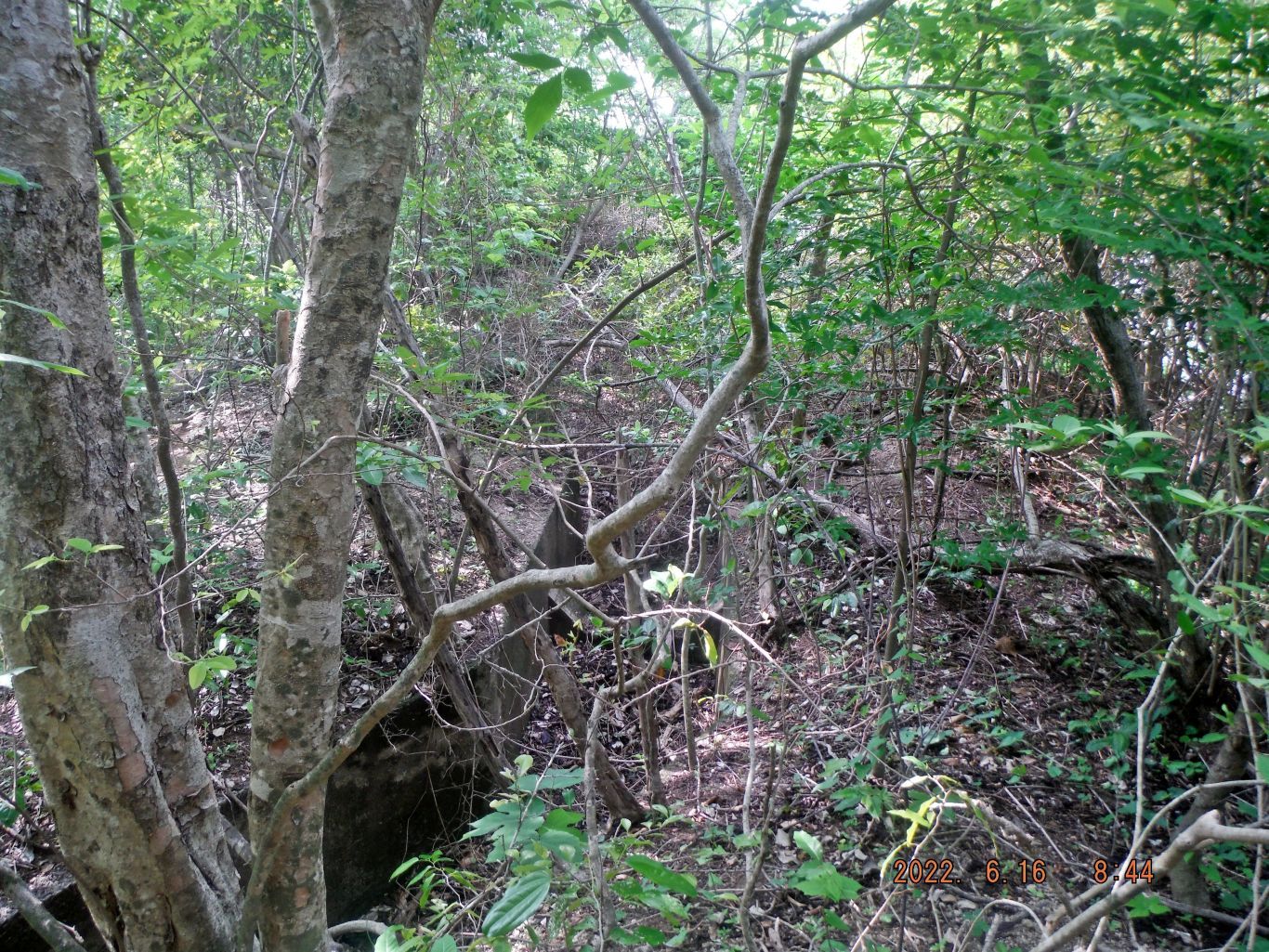
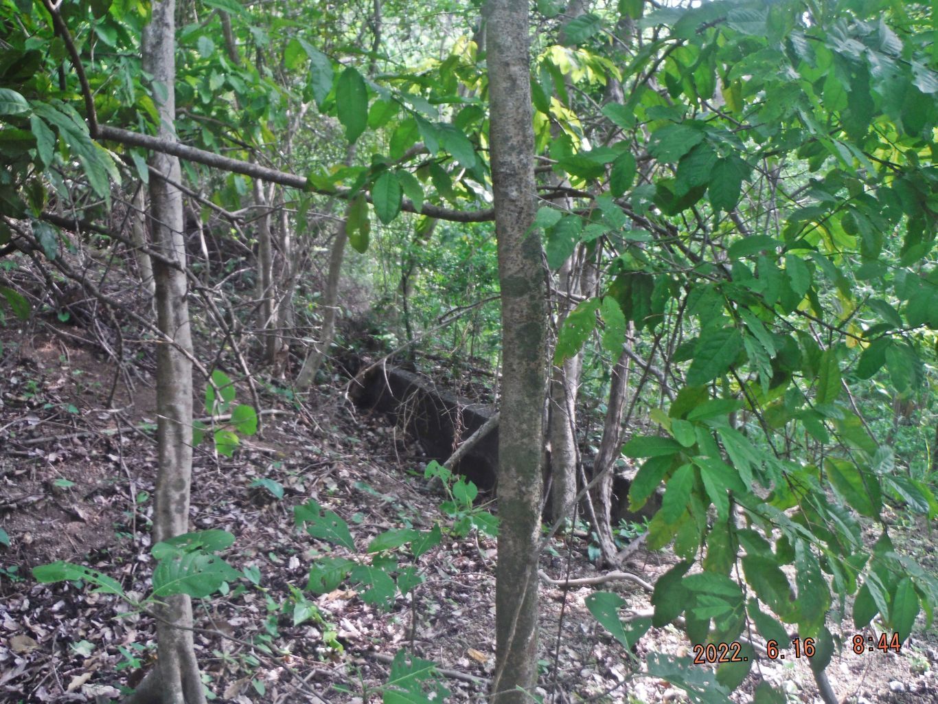
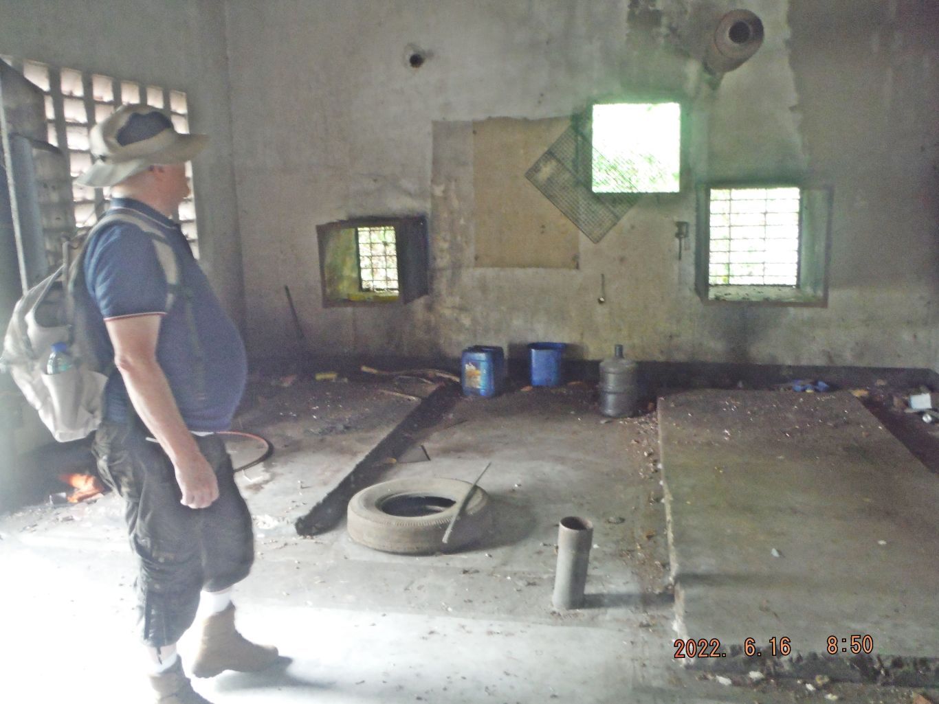
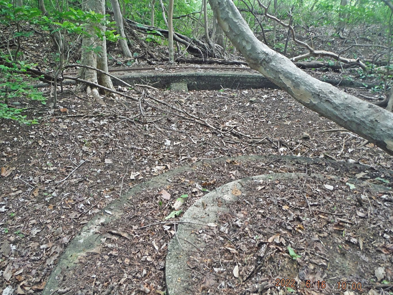
This is the description for the next 3 iamges: -06 to 08. This is one of three images of the entrance and the start of the drainage tunnel of the 1000 bed hospital in Malinta Hill. The 3rd picture shows that the tunnel can be walked upright but as of now you got to crawl thru that hole to get into it.
-09. The nurses’ tunnel and it was also used by the civilian women like Mrs. Quezon.
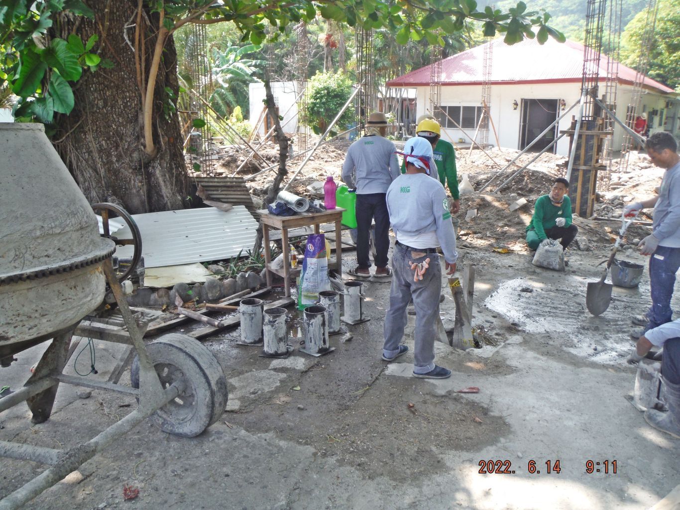
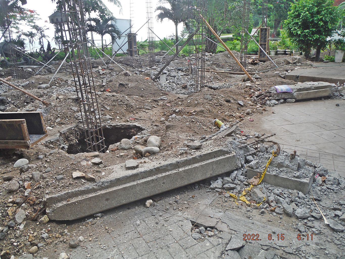
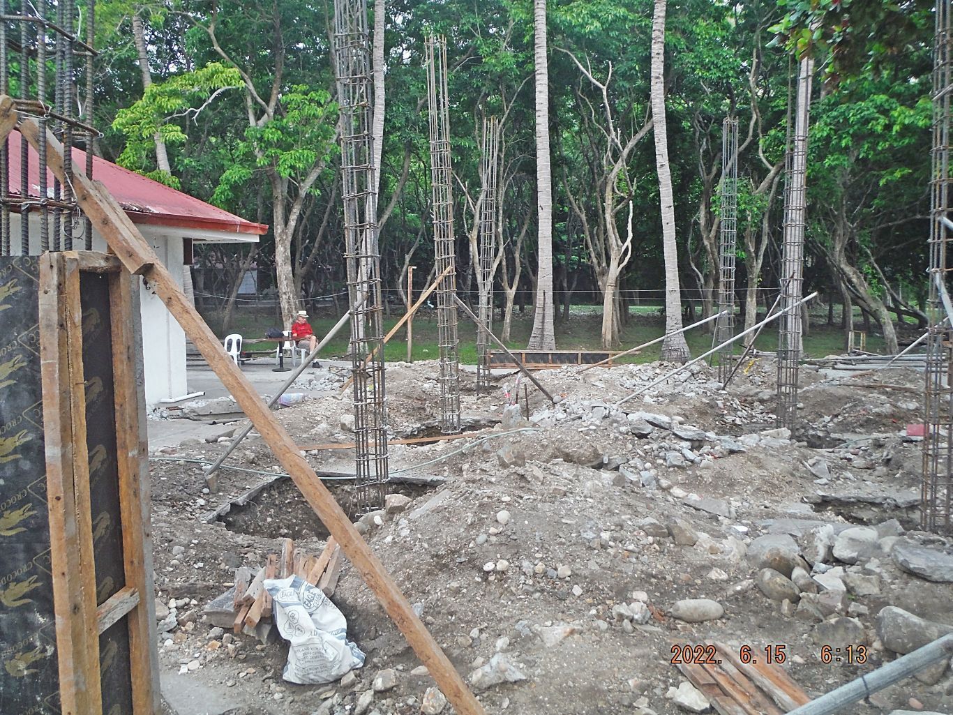
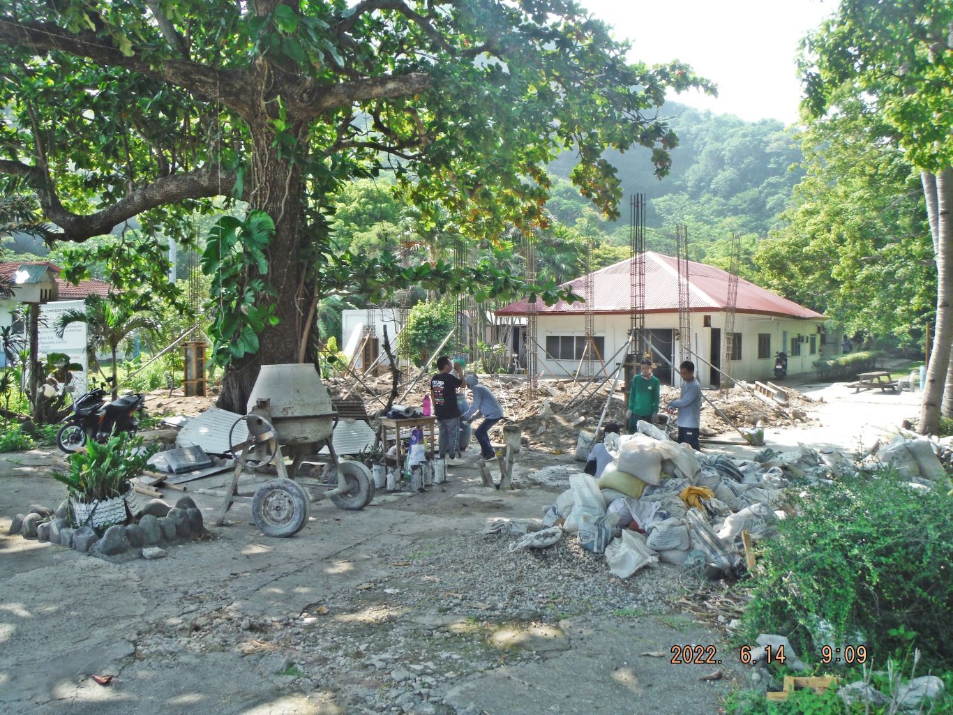
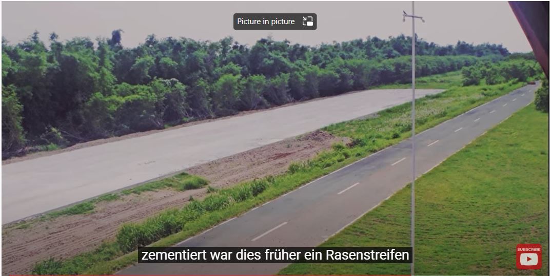
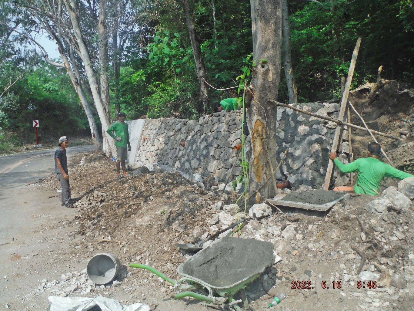
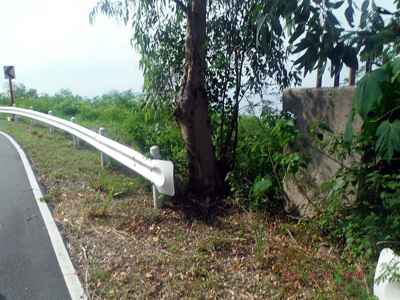
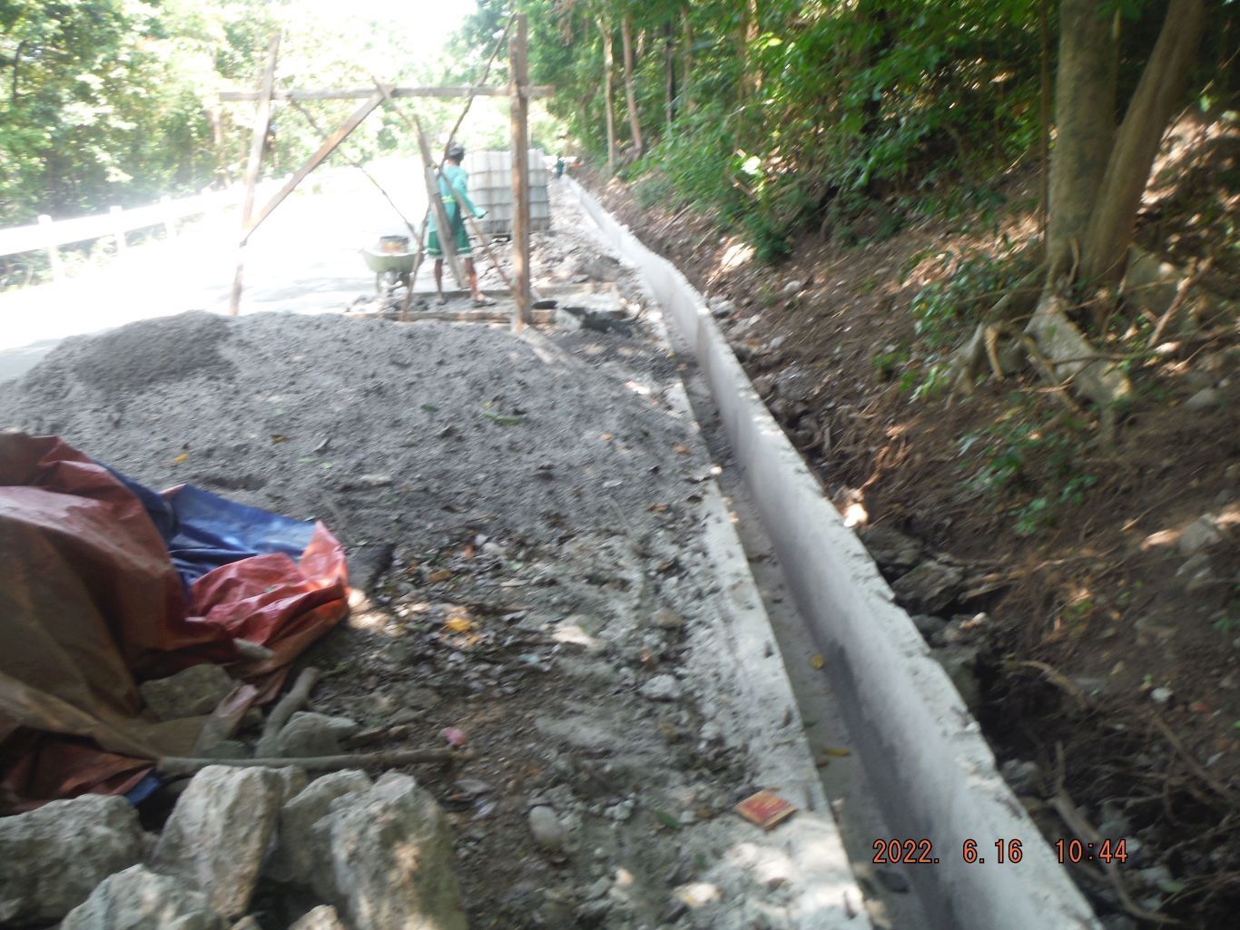
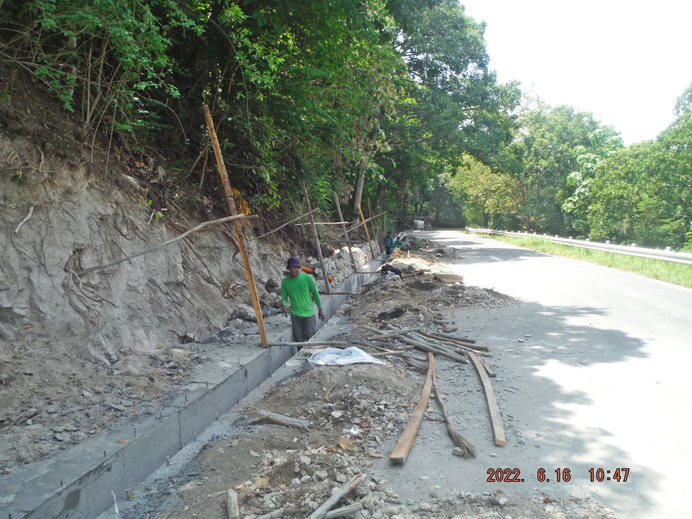
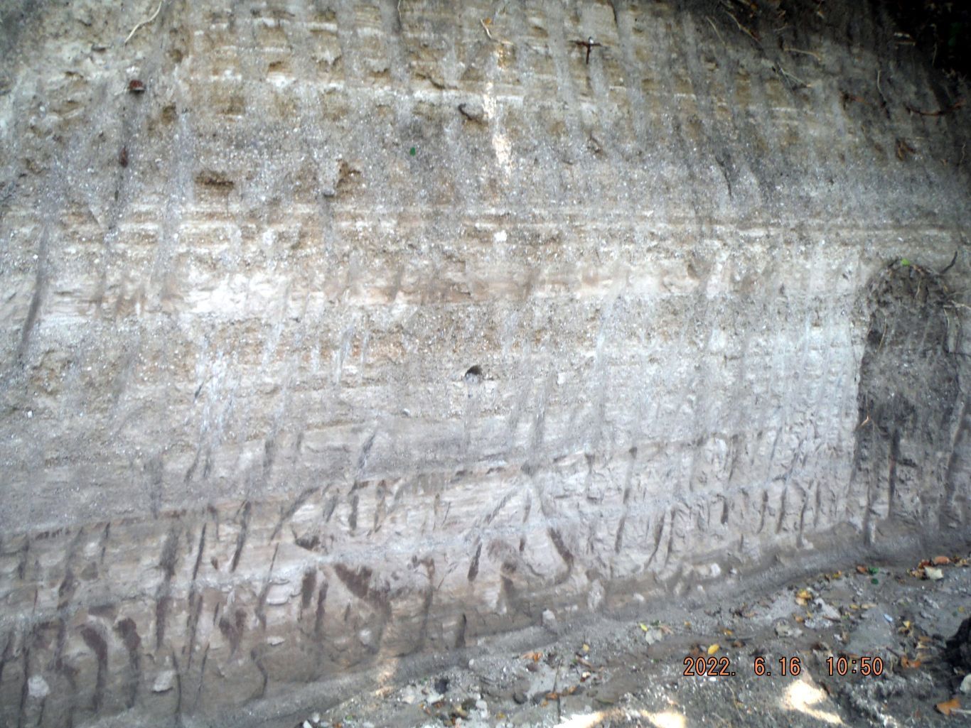
This is the description for these next 3 images: -10, 11 &14. This is one of 3 images showing the progress of building a concrete embankment along the Malinta Hill Tunnel east entrance road.
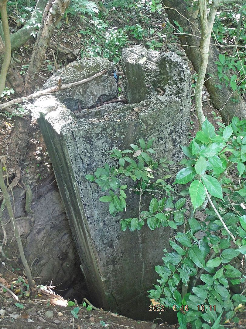
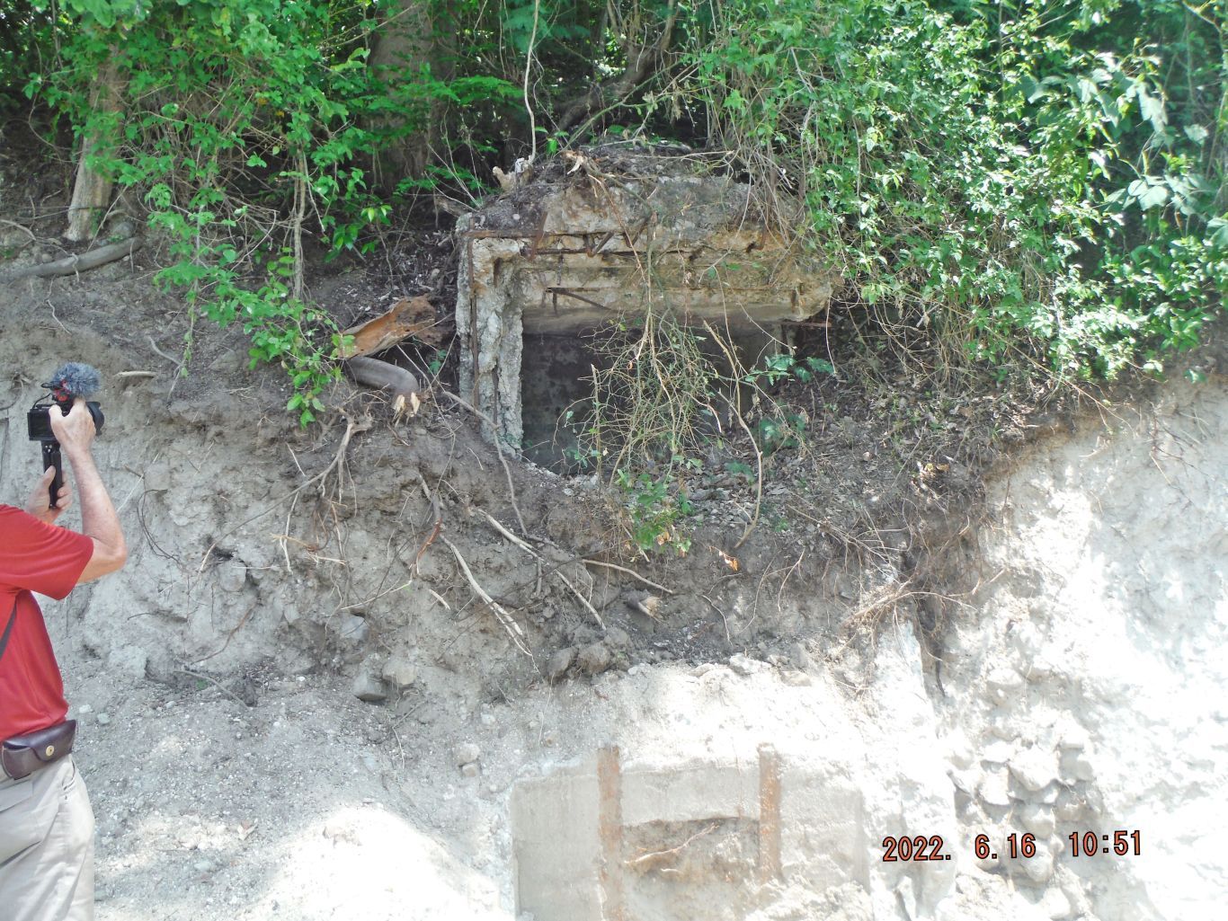
This is the description of these two next pictures: -12 & 13. This is one of two images showing the closest concrete trench to the Malinta Hill Tunnel east entrance. We wondered whether these concrete trenches were used by the Allied defenders, one clue can be found at this trench; the defenders used trolley rails and concrete to cover some sections of it.
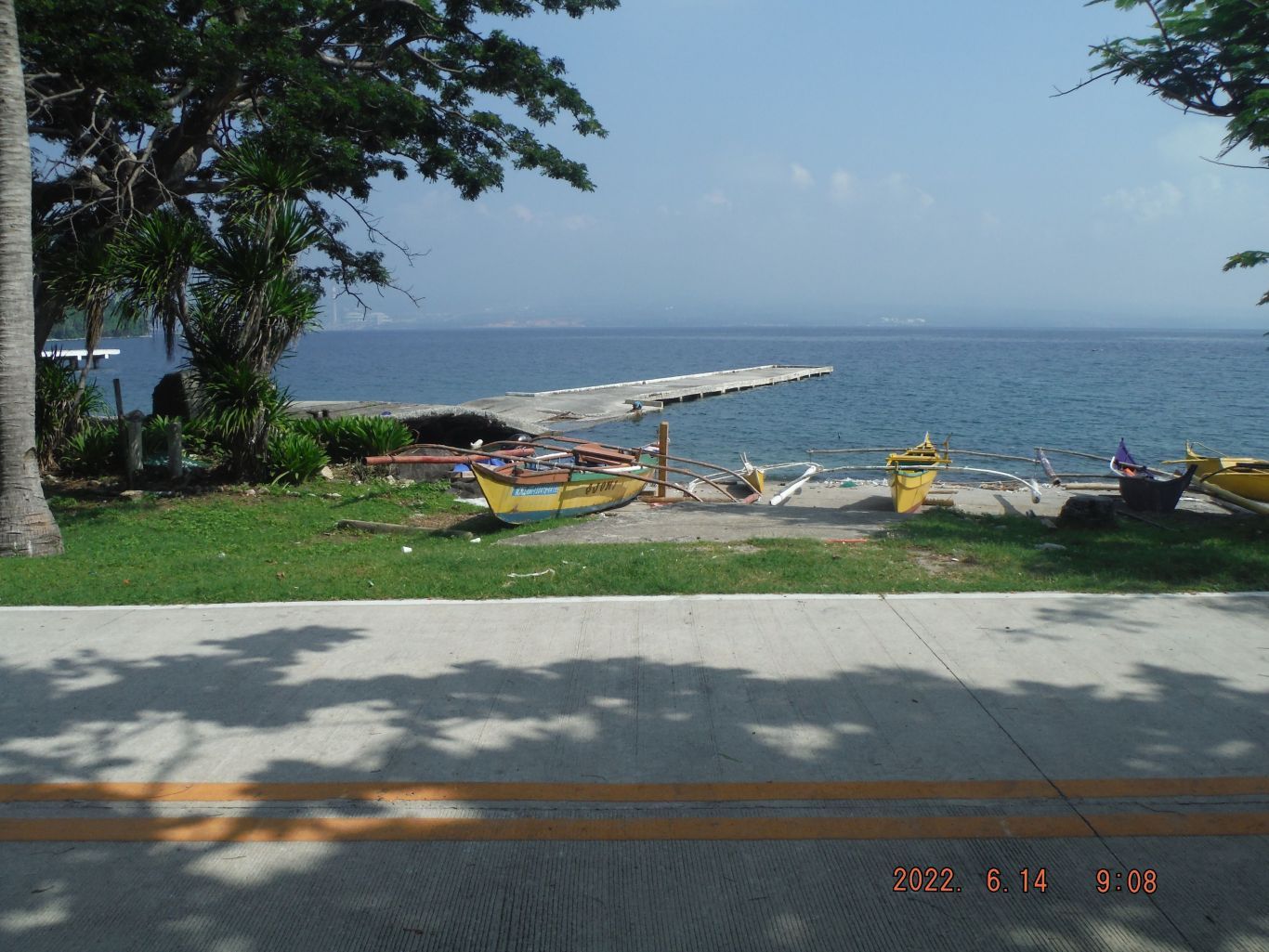
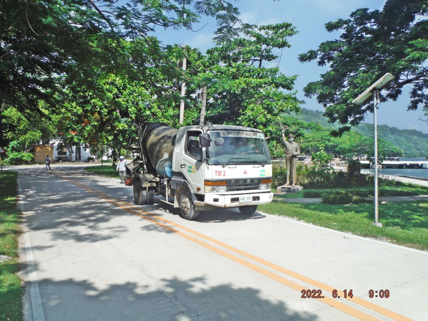
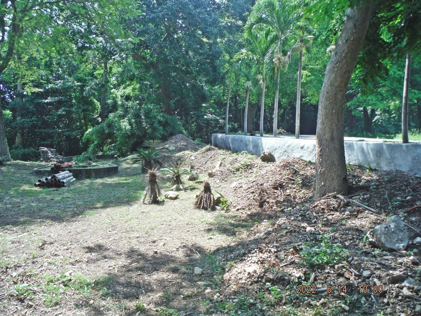
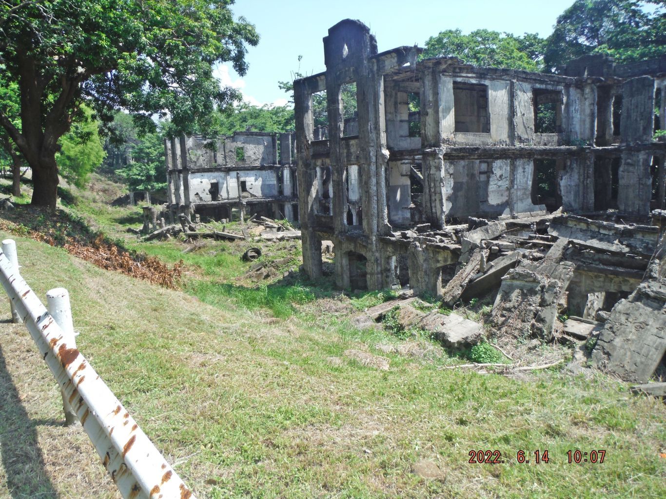
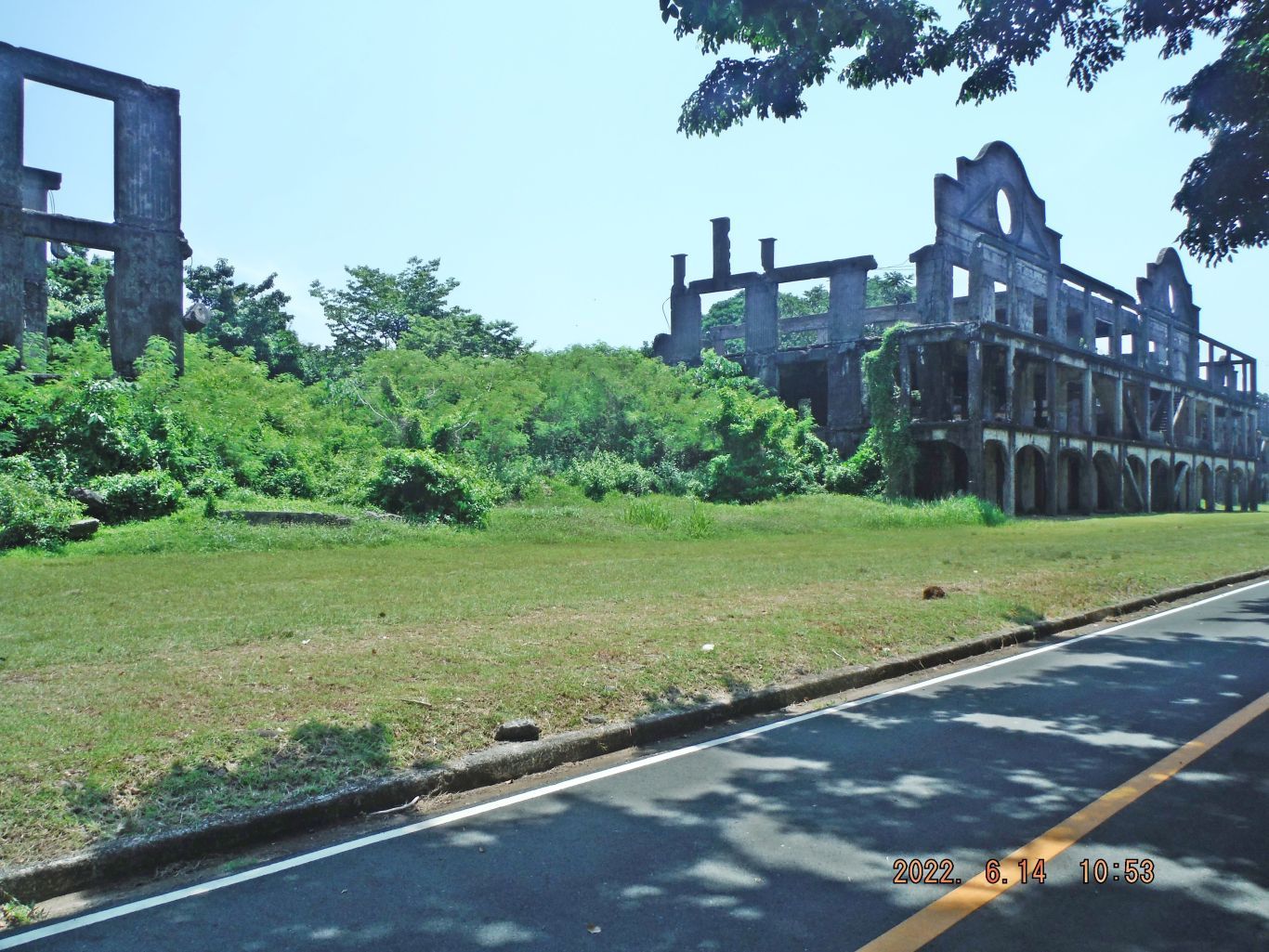
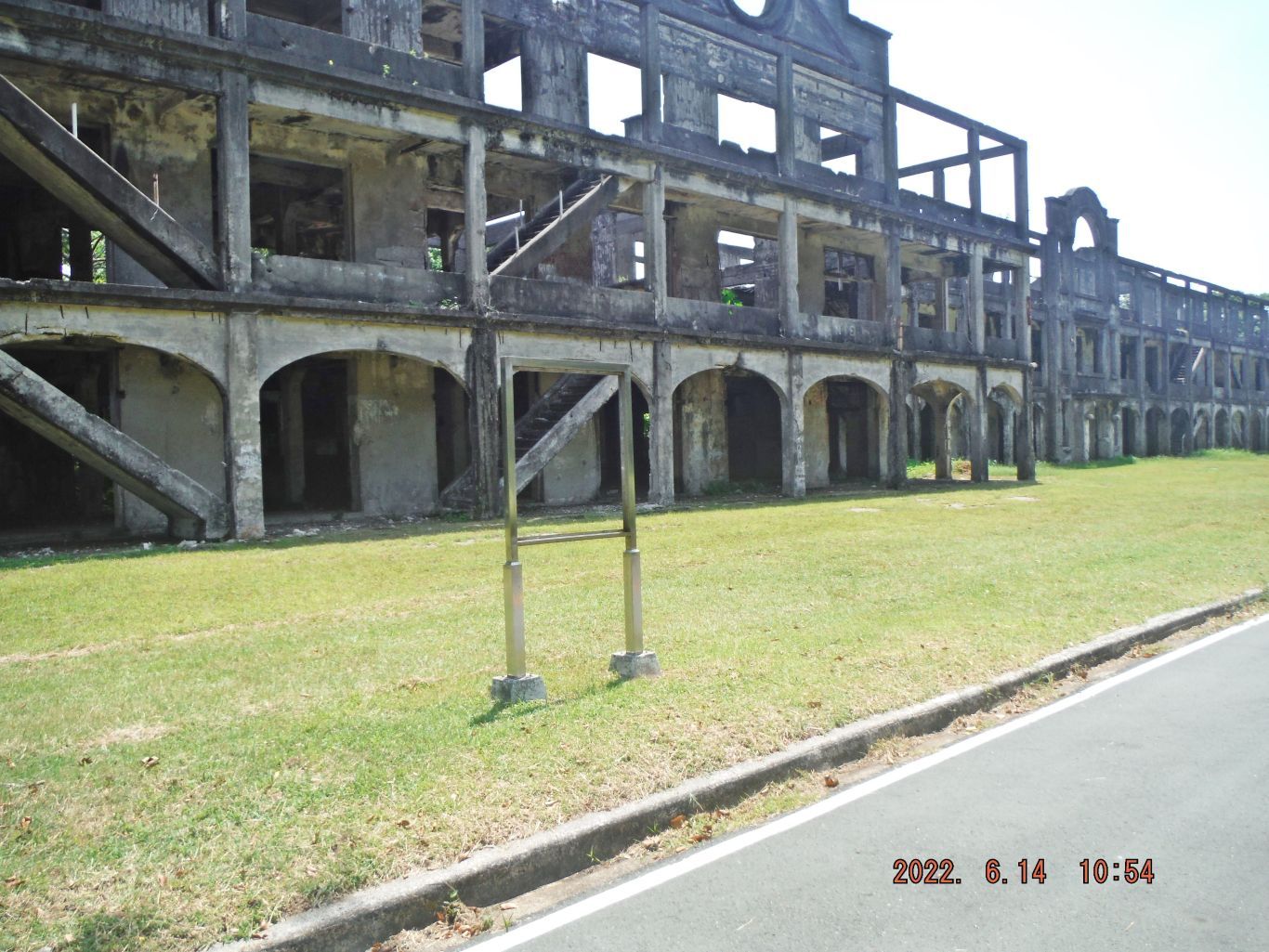
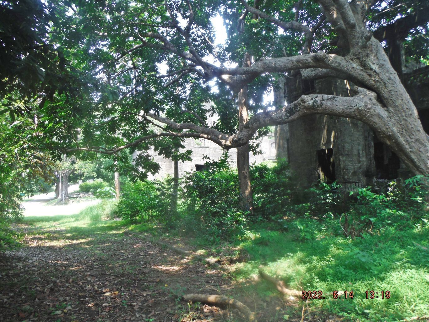
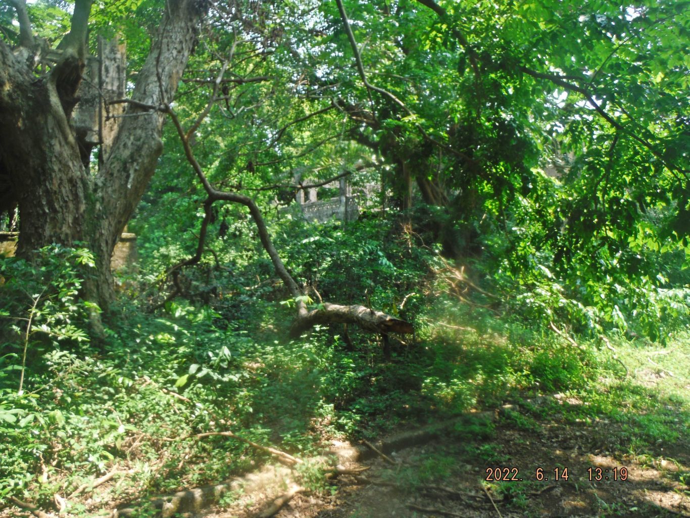
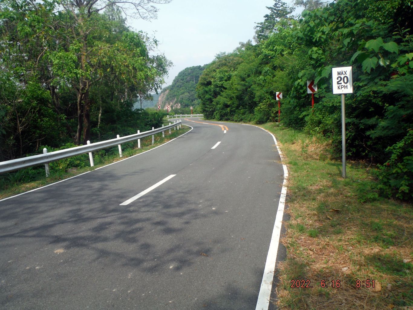
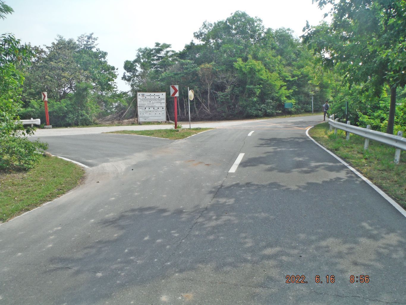
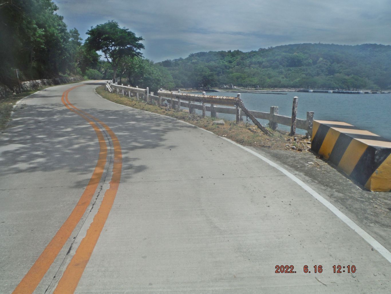
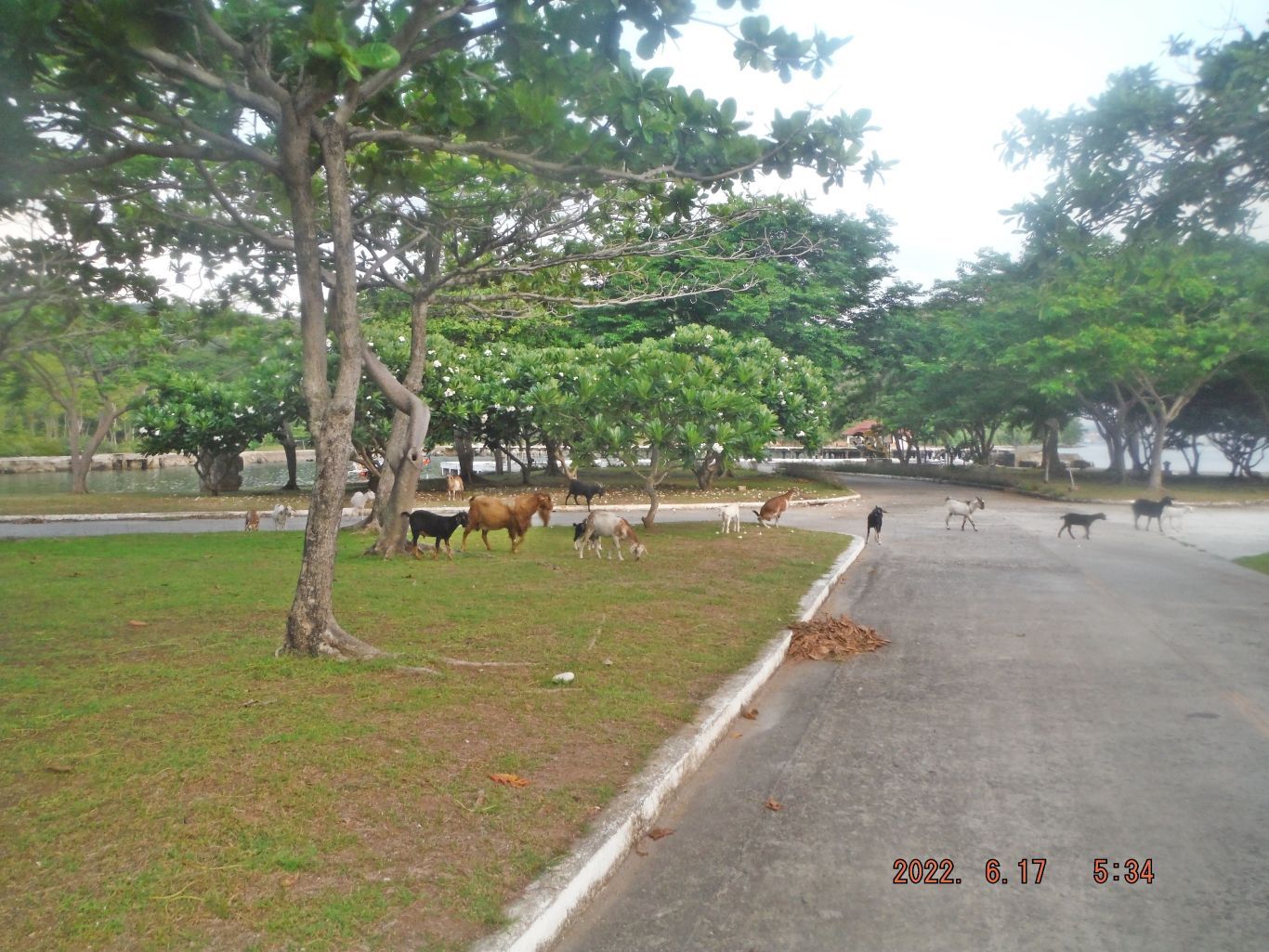
This is the description of the next several pictures: -15 to 23. This is one of several images about the stretch of road, along the Malinta Hill Tunnel east road. We see the empty generator house for the 92nd Garage Resort area; we see the concrete tank barrier base, we see stretches of road looking back towards the south side of Malinta Hill, we get to the intersection of the tunnel east road meeting the Corregidor Northroad and this intersection we see the start of the new road to the Officer Beach and the last shot looks east and we see the last east Trolley Station.

-----------------------------------------------
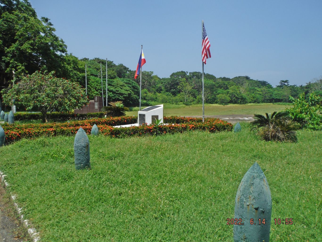
This is the description of these next 4 images: -24 to 27. This is one of 4 sample pictures of 4 areas I made separate presentations; you have to look for them. The 4 separate areas are in this order: the Kindley Field is getting concreted, the Mindanao Garden is maintained, the two Panama Mounts of Battery Levagood have not moved and I had a good look at some of the Navy Intercept Tunnel venues, the picture shows the Navy Tunnel vent shaft.
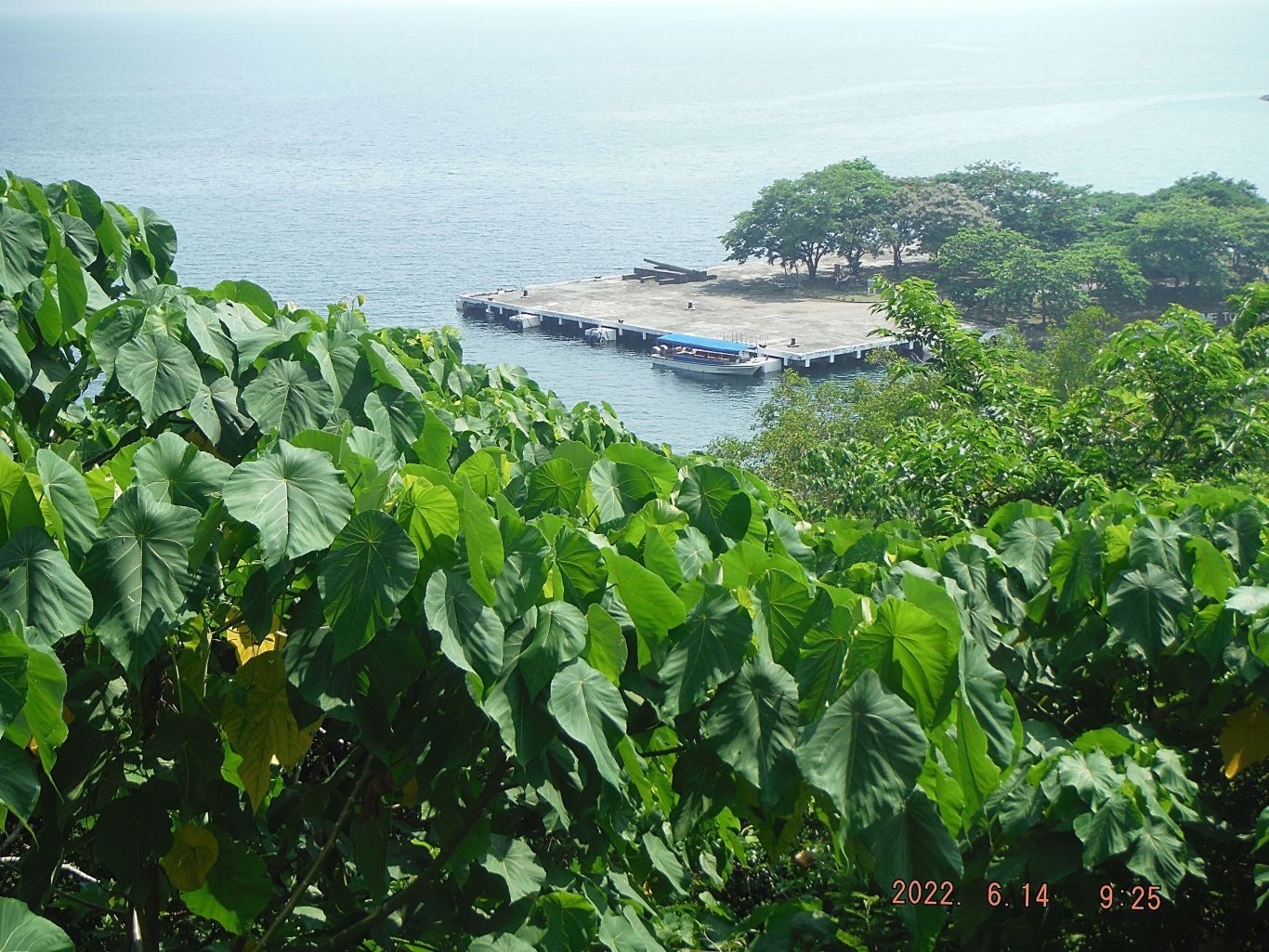
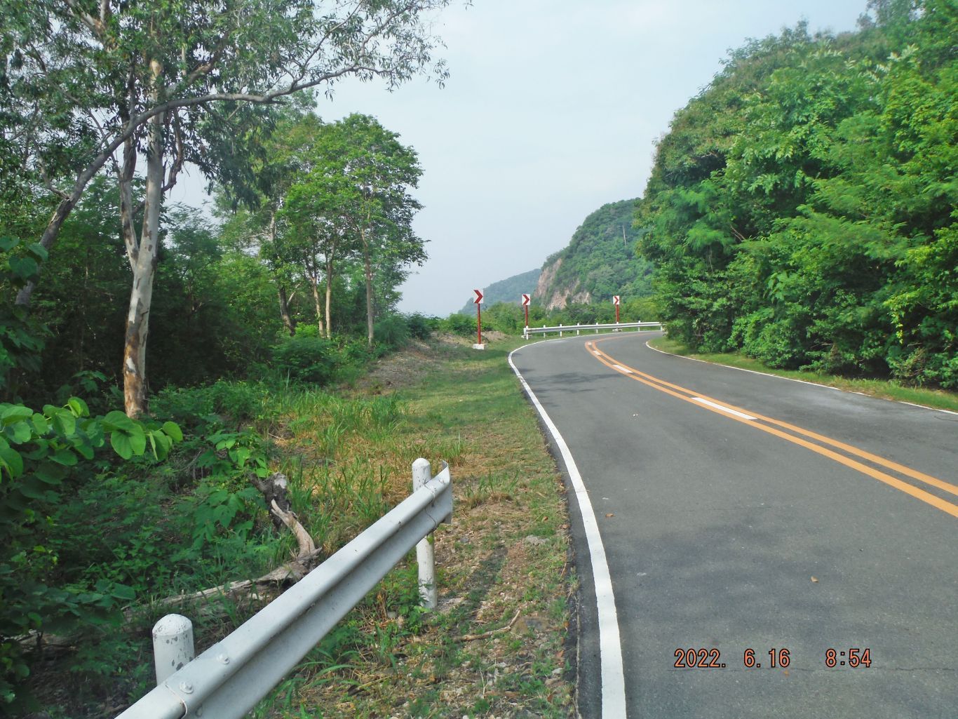
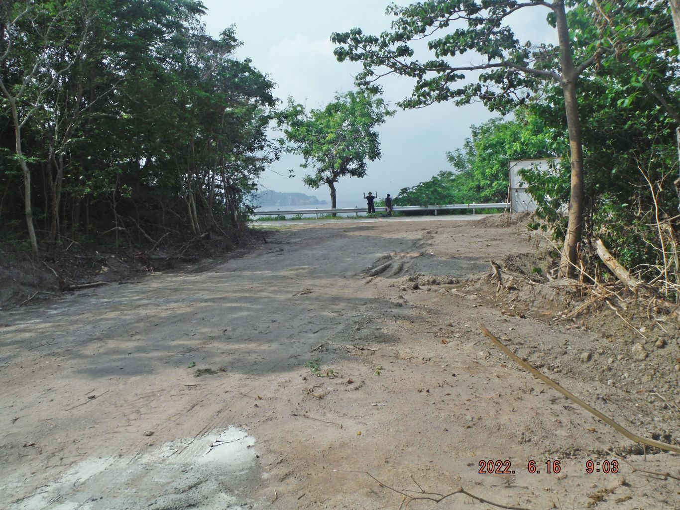
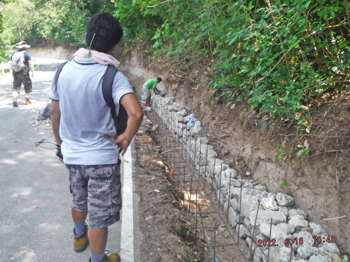
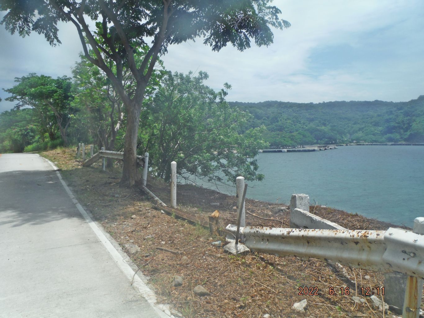
This is the description of the next 5 images: -28 to 32. This is one of 5 images of our walk from the Navy Intercept Tunnel to the Filipino Heroes Memorial. These pictures show that the present roadwork is continuing all the way to the Corregidor Tailend. The 5th picture shows a typical section of Lahar of the embankment and reminds us how these islands were made, volcanic explosions.
---------------------------------------------
---------------------------------------------
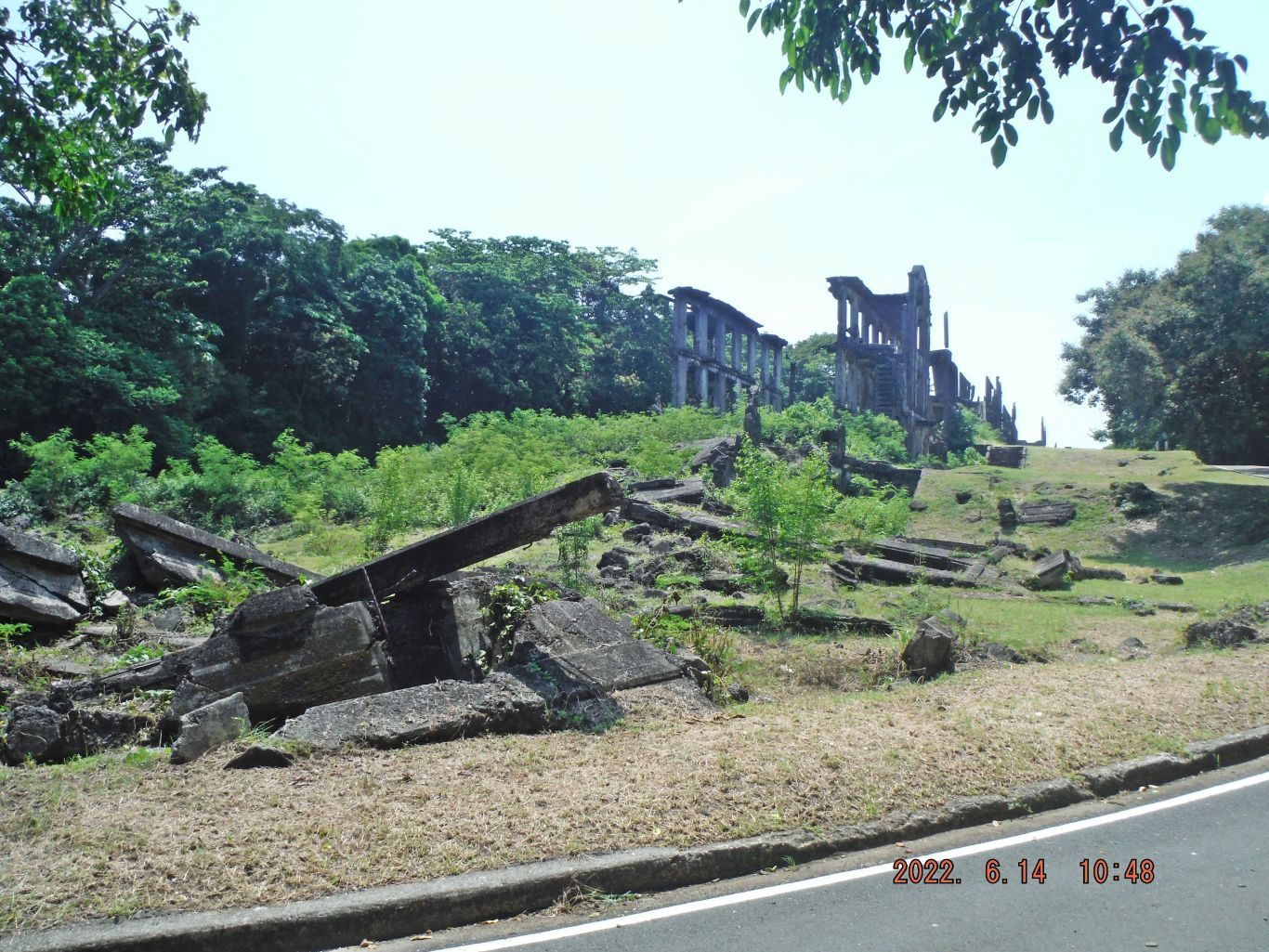
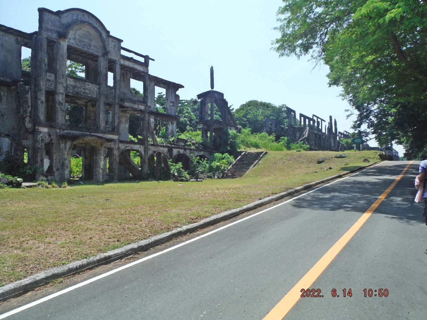
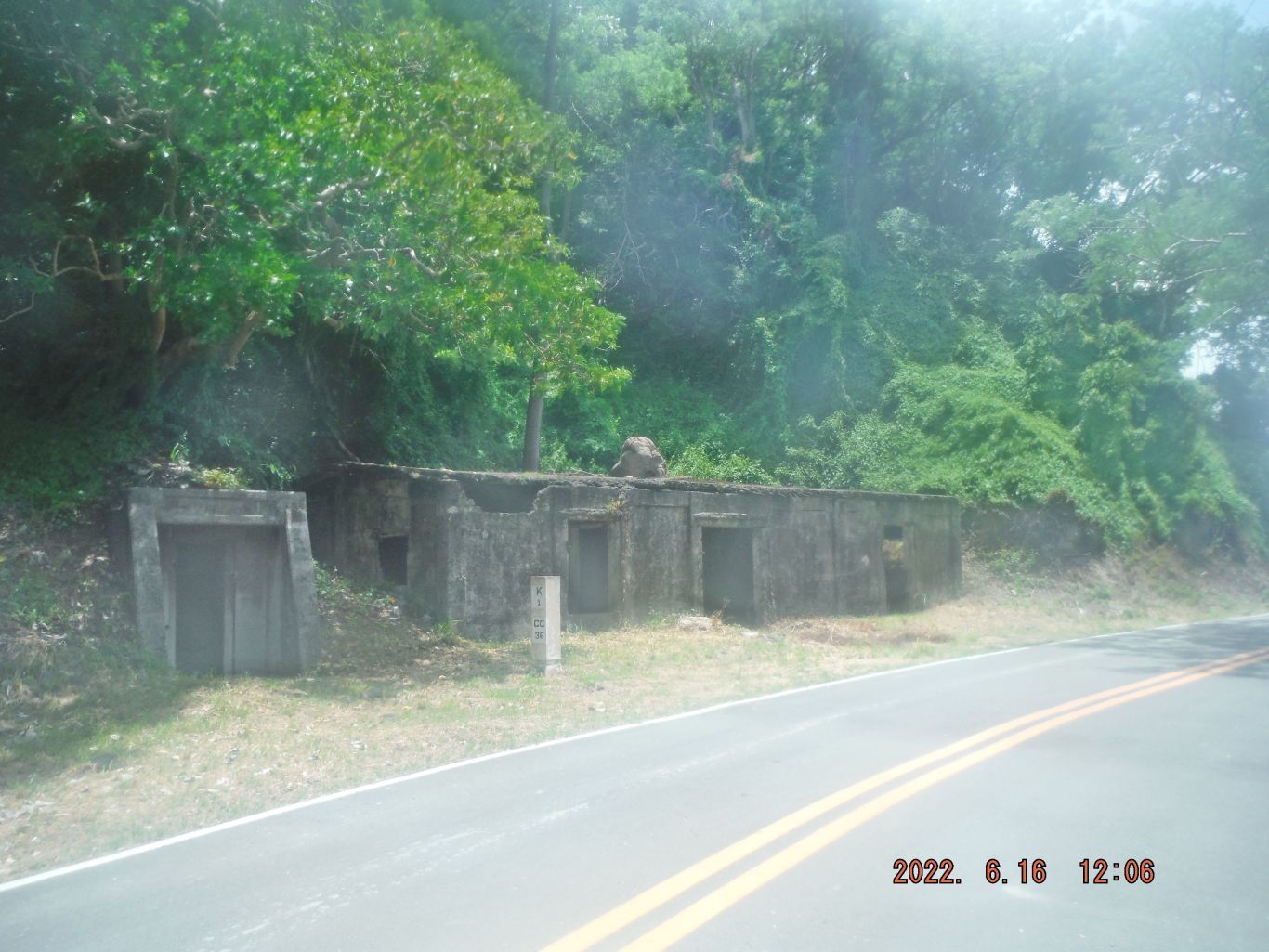
-33. I believe this was the #7 Telephone/Communication Hub just east of the Filipino Heroes Memorial and, or under the former AA Battery Denver.
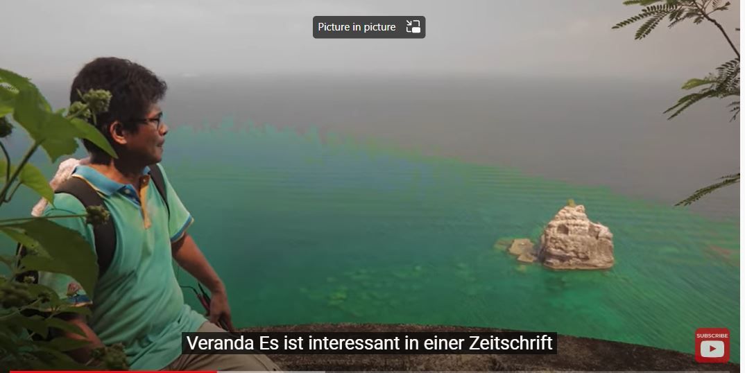
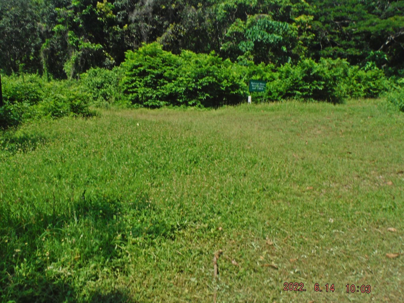
-34. We are at the rear or east of the Filipino Heroes Memorial, in the middle of this picture was the path to a metal water tank for the restroom at the Filipino Heroes Memorial, but it is grown over now. That is also the way to a Fort Mills water tank and the location of the Corregidor Siege AA Battery Denver. This whole area was a close hand combat area in 1942 and 1945 and it is often referred to as Water Tank Hill or Denver Hill.
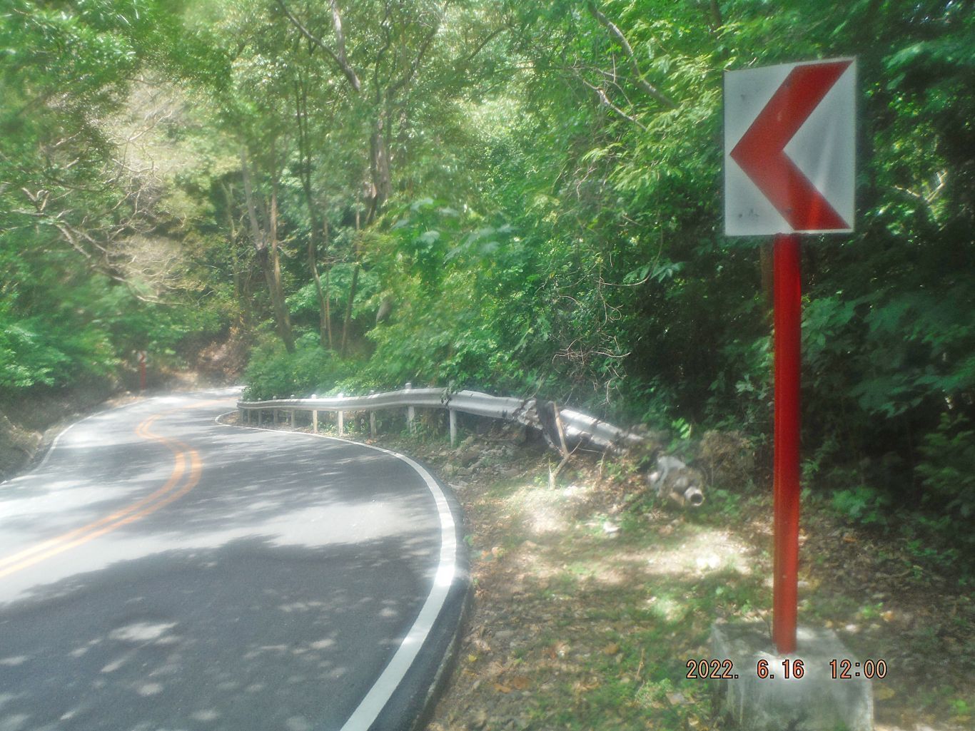
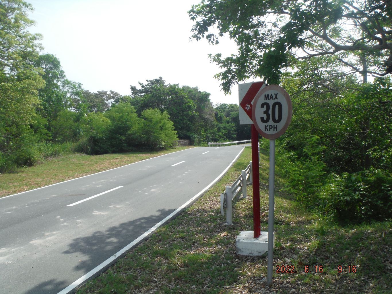
-35. This is the last sharp turn on the Corregidor North Road, as we go west and down steeply; if you go up the hill at the next bend you will see the 1000 bed Hospital concreted airshaft outlet. An accident occurred here, look at the road rail and put one of the Corregidor Foundation vehicles out of commission. Don’t know whether someone got hurt, someone said the break failed.
-----------------------------
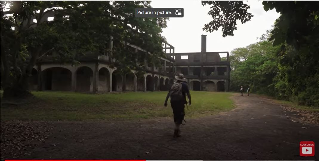
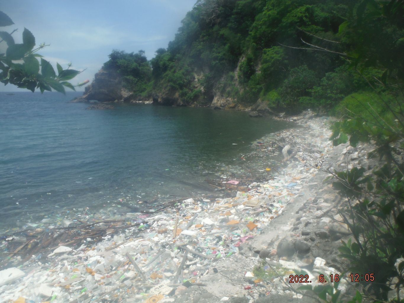
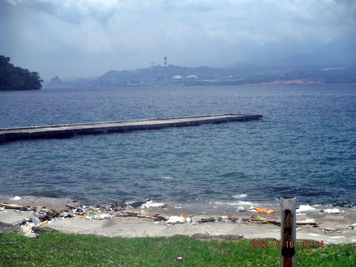
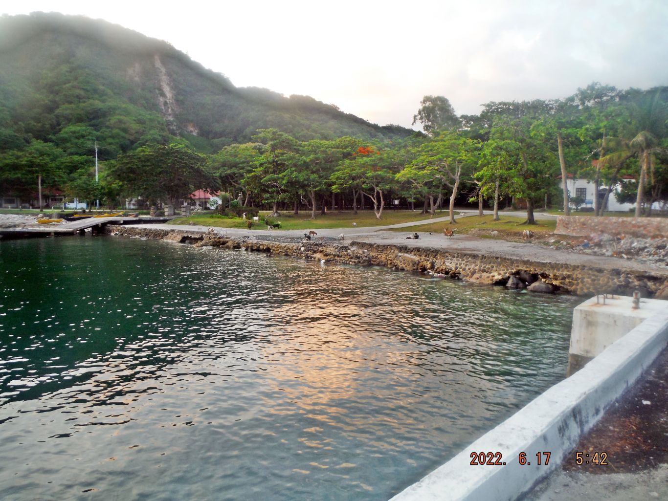
This is the description of these next 3 images: -36, 38 & 39. This is one of three images of the former Fort Mills Enlisted Men swimming Beach. The pictures show the Engineering Point, a tunnel of the Japanese suicide boats and unfortunately the piles of Malia Bay trash. And I wonder where as all the sand has gone we see in the pre war pictures?
--------------------------------------
-37. This area is part of Malinta Point and the land side of the Enlistedmen Beach. The building left is, we believe, where the underwater telephone cable entered Corregidor and the building right, we believe, was a magazine.
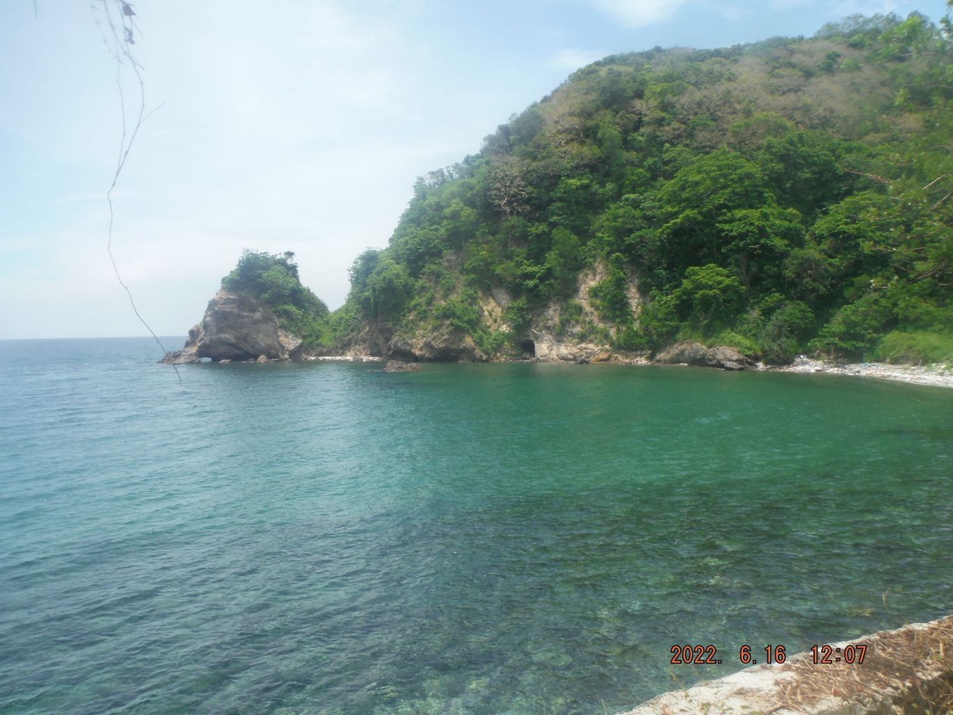
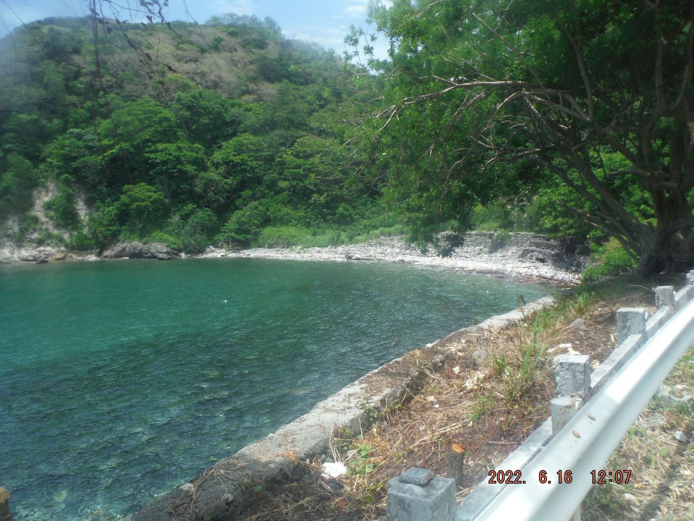
This is the description of these next 3 pictures: -40 to 42. This is one of 3 images as we walk around Malinta Point from east to west. I shot them for the view and we see the road rails completely rusted away. That supplier or manufacturer seems to have not used the best steel material.
-----------------------------------
-43. This is the Lorcha Dock where Gen. MacArthur started his breakout thru the Japanese lines after having been ordered to do so repeatedly by President Roosevelt. That is the highest tide I ever seen during my Corregidor visits!
------------------------------------------------------
------------------------------------------------------
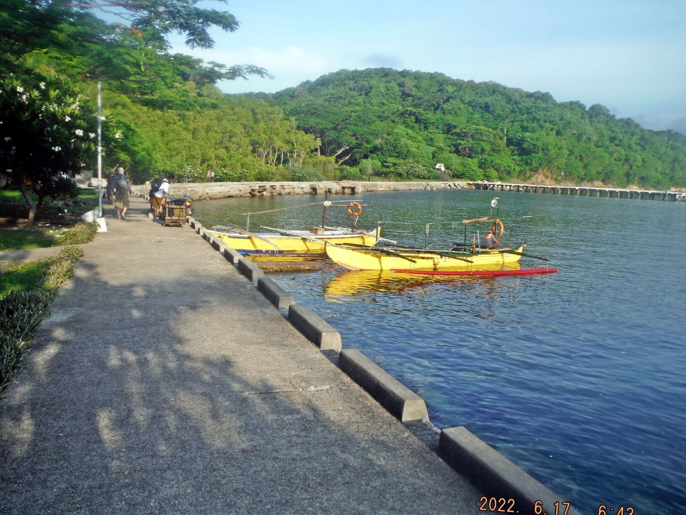
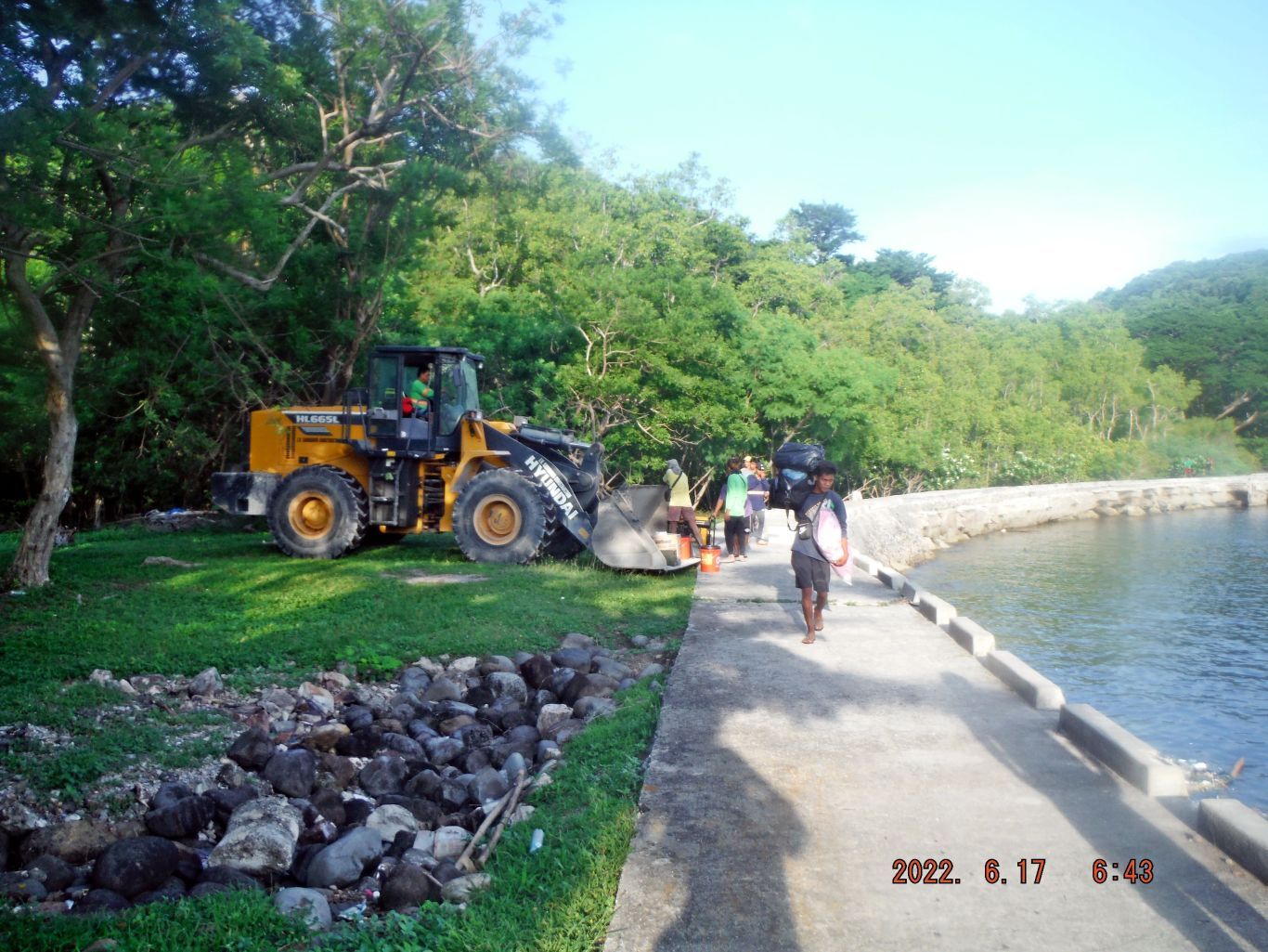
This is the description of these next 4 images: -44, 48, 49 & 50. This is one of 4 images of the waterfront, north Bottomside of Corregidor, we see the new and numerous grass cutter troops, the boat landing area, we see the former Fort Mills piers or docks and we see the road building contractor loading or getting supplies.
---------------------------------------
This is the description for these next 3 images: -45 to 47. This is one of 3 images about the 8 Inch Naval Railway Gun that was part of Battery RJ (Road Junction) #43. This gun barrel has been placed on the North Dock for viewing, Bottomside on Corregidor and this is one of the first views when visiting the island. One picture shows the full moon, perhaps the high tide now because of the moon.
This is one reference in our Corregidor.org web pages:
corregidor.org/fieldnotes/htm/fots2-110605.htmWikipedia says this about the eight 8 Inch Naval Railway Guns and the URL is provided:
One aspect of MacArthur's Rainbow Plan was the Inland Seas Project, intended to defend a shipping route to keep his forces supplied. Part of this was a buildup of Philippine Commonwealth forces, and a projected deployment of coast artillery weapons manned by them in the central Philippines. In 1940-41 eight 8-inch (203 mm) railway guns and 24 155 mm (6.1 in) GPF guns were delivered to the Philippines, without crews as they were to be locally manned.
en.wikipedia.org/wiki/Harbor_Defenses_of_Manila_and_Subic_Bays