Hi chadhill and okla,
I did kick around the rear of the gun position but found nothing. The rail may have disappeared due to scrappers or perhaps just the years. The soil is sloped down into the pit now so it may even be hidden below the surface.
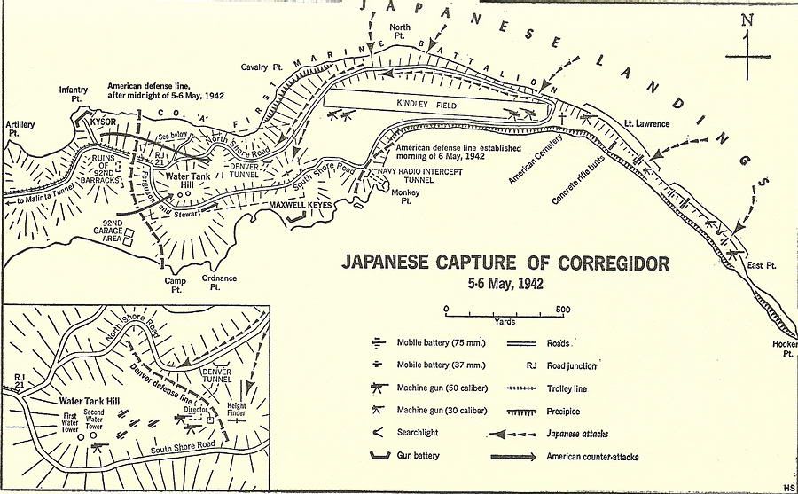
Below is the best (and only) sketch of Battery Denver. It is on Corregidor.org so that may be where I got it. I can only read parts of the text so the eagle eyes of you two would be helpful.
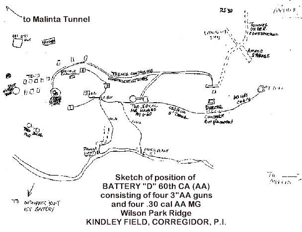
Battery Denver sketch (original)
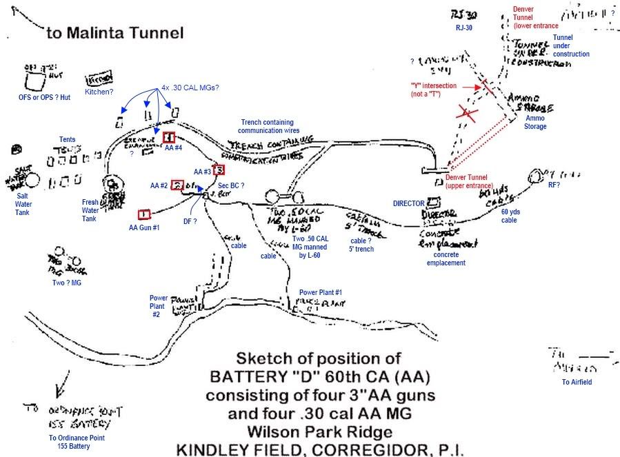
Battery Denver sketch (enlarged and labeled)
Note 1: Blue labels are my attempt to decipher the text.
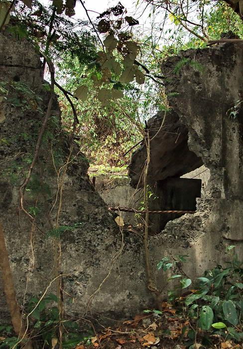
Note 2: Red labels are corrections to the Battery Denver Tunnel. For a look at the tunnel, click on this link:
corregidor.proboards.com/index.cgi?board=threads&action=display&thread=410Note 3: This sketch shows 4x3-inch AA guns east of the Fresh Water Tank but the map insert posted yesterday shows 4x75mm guns here. I can’t explain the discrepancy but Battery Denver definitely had AA guns.
A few comments about what you see in the sketch.
1 – The layout of the tunnel would be correct if you made two changes. First, cut the right-hand lateral off where I indicated. The intersection is a “Y” and not a “T”. Second, move the tunnel towards the upper entrance to the end of the left lateral and then the sketch looks ok. The lower tunnel is near Road Junction 30 (RJ 30) as indicated.
2 – The “Trench containing communication wires” still exists. The uphill side of it is lined with flat rocks in places.
3 – There is a flat area with no craters between the Fresh Water Tank and the AA guns. The sketch shows tents were there.
4 – I have never looked in the top left part of the sketch for the two structures shown.
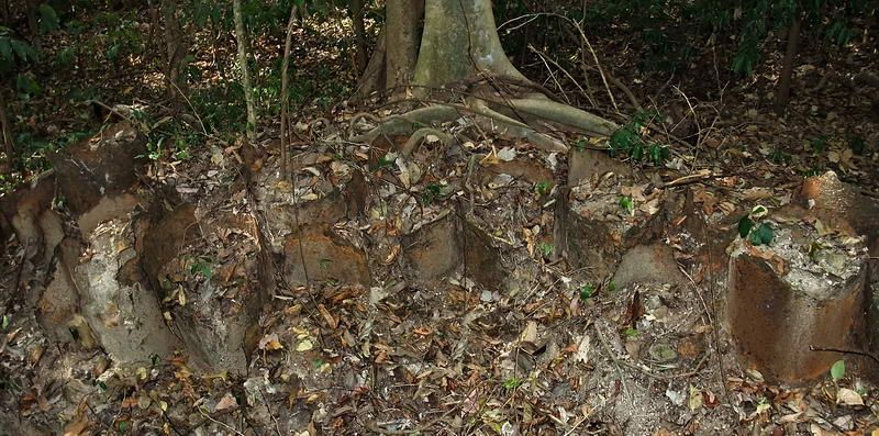
5 – Power Plant #1 may have been located off the road in a 155mm gun shelter that maps show as being near this location. Broken concrete pillars are there today.
6 – Power Plant #2, I see nothing of this from the road. Do the dashed lines indicate another tunnel?
7 – The trail all the way from the AA guns to the RF is also still there but a few sections are difficult to see.
8 – I have seen no indication of where the two 50 cal guns were located.
9 – The land where the AA guns (and maybe DF and BC were) is not a large area. It is hard to distinguish what all those “craters” actually were.
10 – Two MGs south of the Fresh Water Tank…never saw anything there either but was not looking for them either.
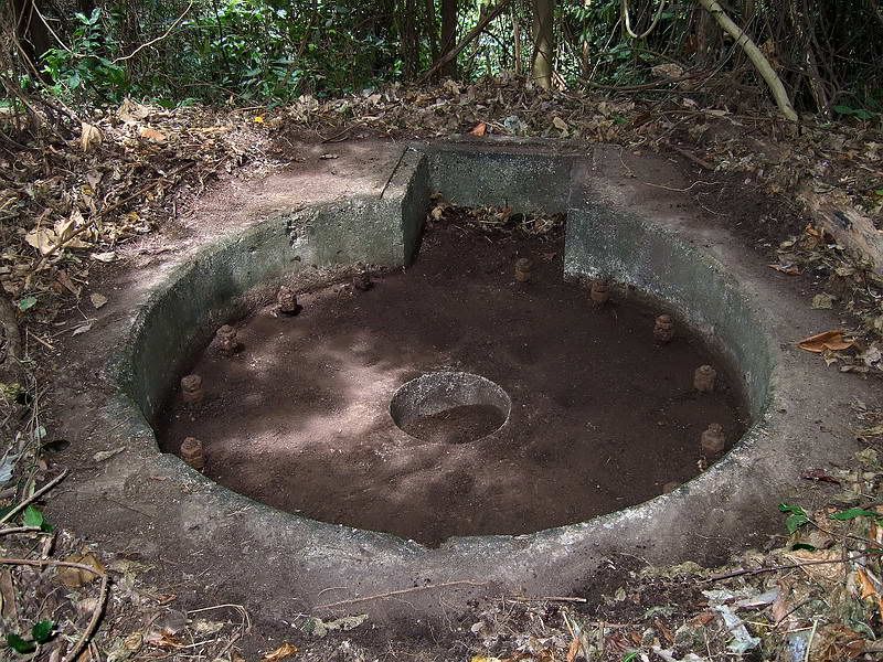
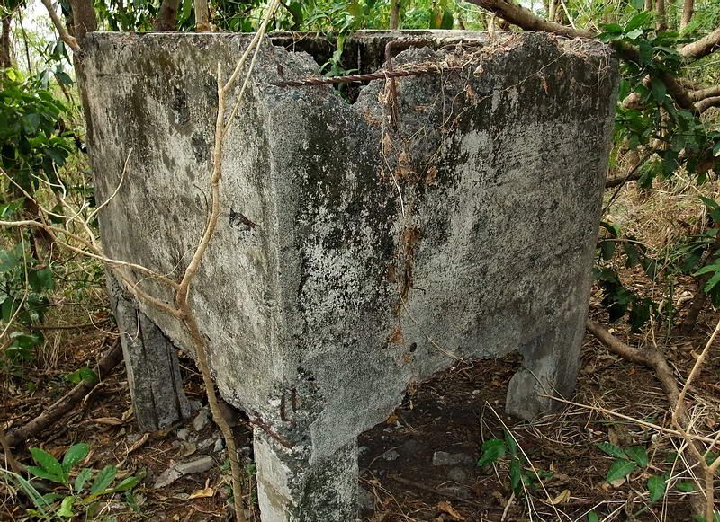
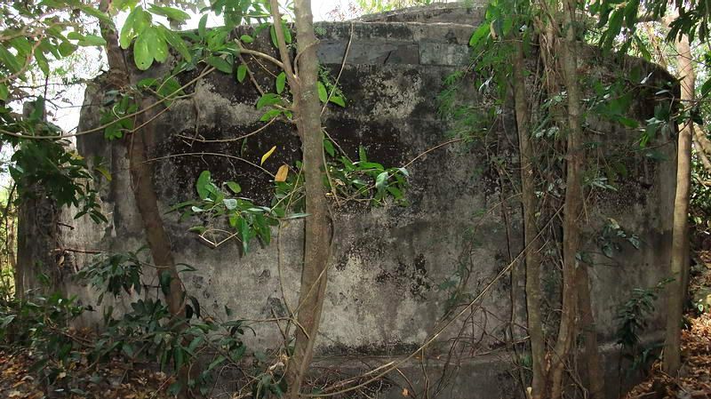
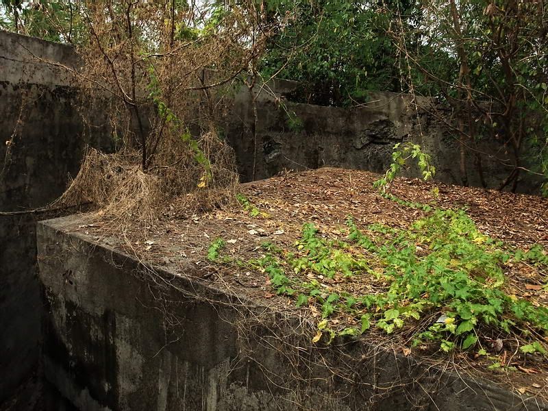
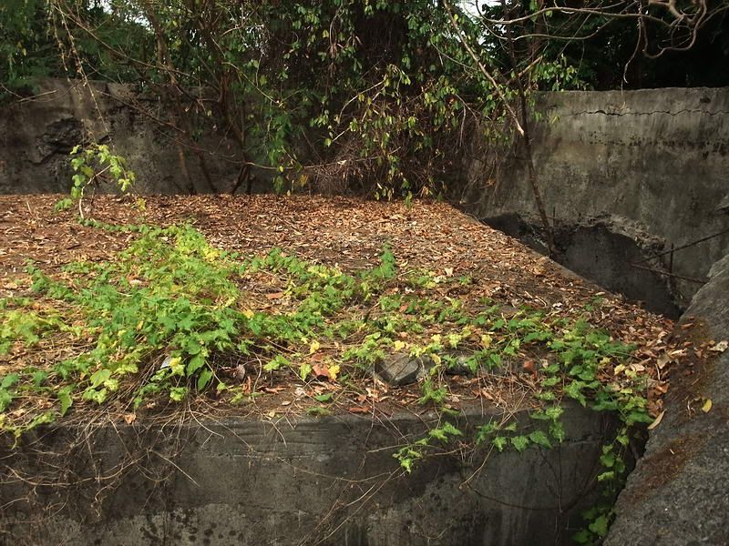
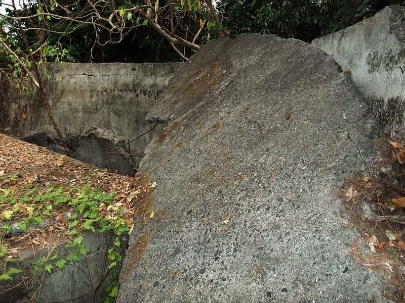
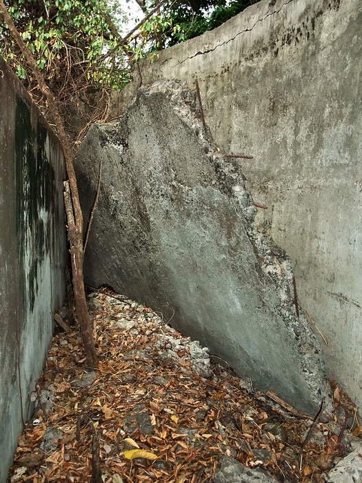
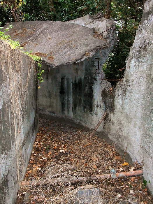
I know where the Director (D) was and have an idea as to where the Height Finder (HF) may have been. On the sketch, the D is also labeled “concrete emplacement”. There is only one concrete emplacement. It is very damaged but is still there today (May 4 1942, the director was totally destroyed by a direct hit from 240 mm shell).
Left side of the Battery Denver Director. The right-hand side of the structure is just chunks of broken concrete.
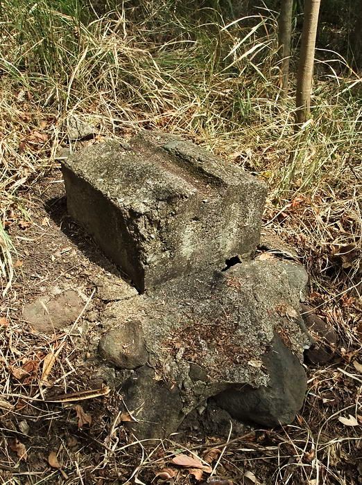
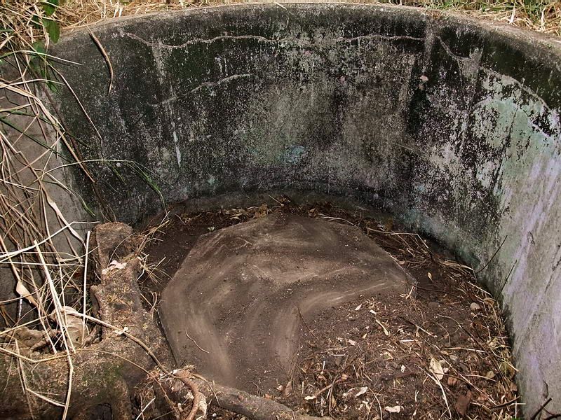
The distance from the Director to the Height Finder is shown on the sketch to be 60 yards. I saw nothing 60 yards away but at 80 yards in the same direction is one of the 1917 era keyhole type AA gun blocks. (It and another one further east were not used for Denver’s AA guns). I wonder if they used this piece of concrete as a solid platform for the HF equipment. The sketch does show a double ring symbol for the HF which resembles the actual gun block. This is just a suggestion, I do not know.
A view of this gun block last month.
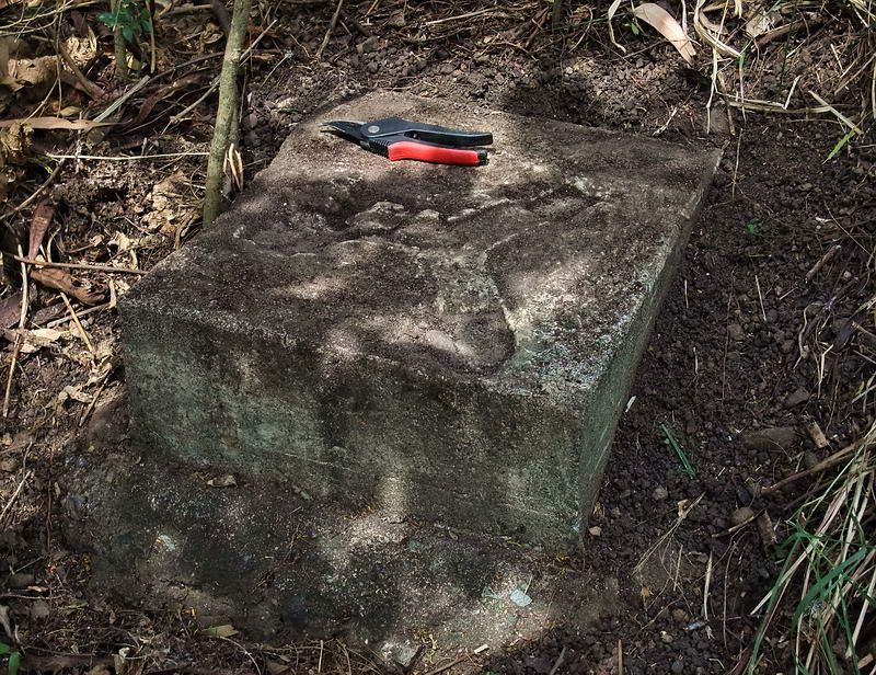
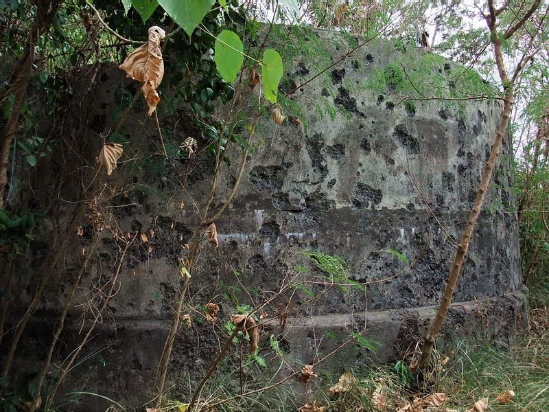
To give you a good view of at what it really looks like, here is the same gun block seen two years ago after Phantom cleaned it out.
Some of the many dirt filled powder cans that still line defensive positions.
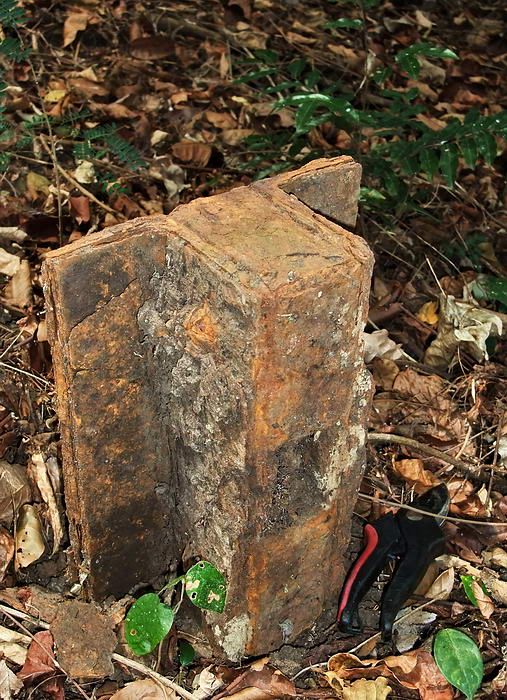
This chunk of metal was found in the area of the AA guns. I have no idea what it is but its damn heavy. I brushed it off and stood it up for a photo. My cutters are beside it for size comparison.
If you walk a bit further east along Denver Hill (out of view to the right in the sketch) there are more objects of interest.
The second AA gun block is almost covered by vegetation. The “keyhole” can be seen on the opposite side.
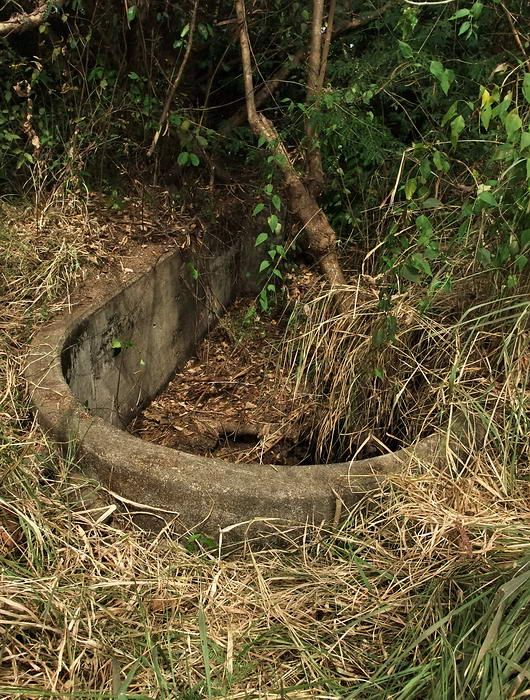
A raised water tank I assume. Ridges in the top look like a cover was there once. There is a drain hole in the bottom corner.
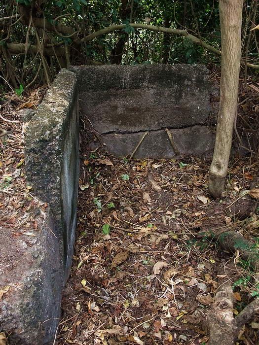
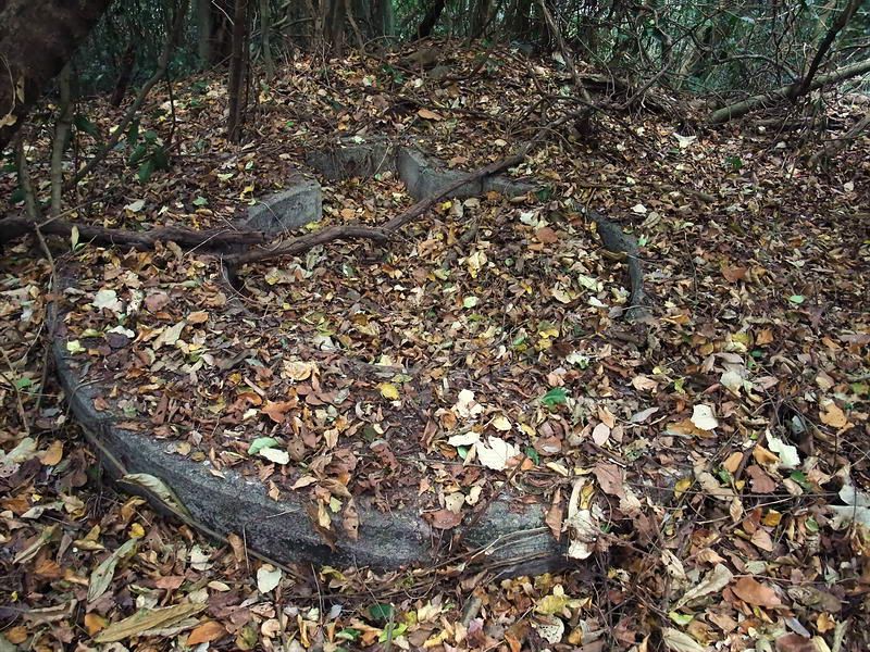
A rectangular piece of concrete with a groove in it. Anybody know what this would have been used for?
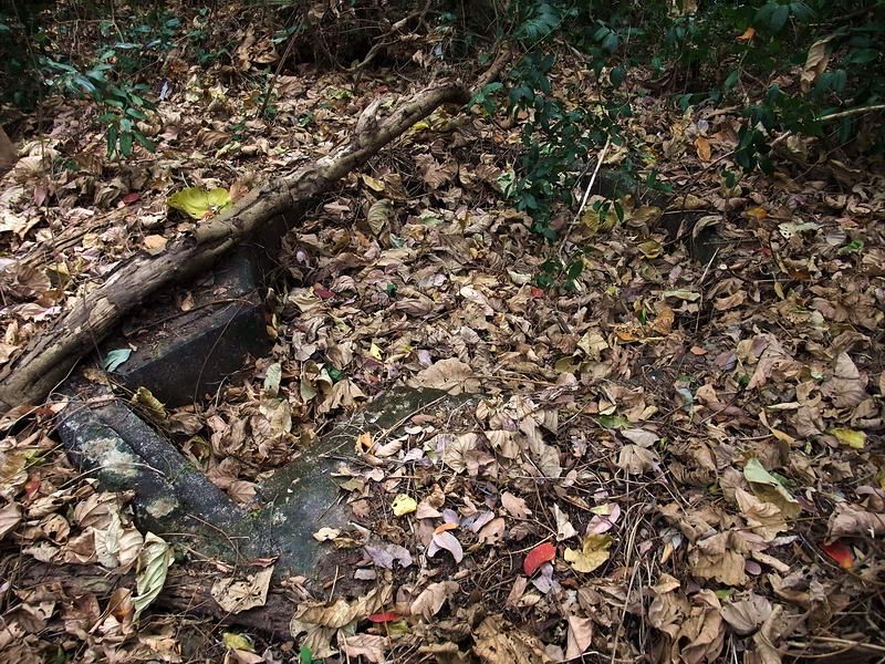
When this piece of concrete was wet, someone placed something tripod shaped on the top. The three ‘feet’ of the tripod were rectangular. Seems small for a MG tripod. any ideas?
I kicked away the grass to give you a view of the battery control station for nearby Battery Maxwell Keyes. The rear is rectangular and has steps down into it. Steel bolts in the concrete wall tell me it probably had a wooden roof at one time.
Inside view showing part of the pedestal for mounting the equipment.
After reviewing the sketch in detail I need another trip back to Denver Hill. Perhaps that will be this coming week as I return to Corregidor tomorrow morning. I’ll meet up with Karl in Manila and we go on the ferry together. Should be fun.


 ) lettering on the corrugated wall. Here, again, this close up shot of the face of this GI has me wondering how 'ole Frank Mancini made out, if still alive, in the final tally on Corregidor surrender day, the POW pens, "Hell ships