|
|
Post by okla on Oct 21, 2013 22:35:16 GMT 8
Hey Karl....I, heartily, second Chad's remarks. This is really good material. You go the extra mile in your presentations. Thanks again.
|
|
|
|
Post by Karl Welteke on Oct 26, 2013 20:08:10 GMT 8
CORREGIDOR 2013 Feb. 12, ENJOY A WALK WITH KARL THIS IS THE FIFTH SEGMENT, after I visited VII-F-2 and the mystery concrete I entered the trolley track where it makes its turn on Morrison Hill. I decided to follow it down to where it crosses the Engineering Ravine and then use the old Engineering Ravine Road, now a trail, to go Middleside. The trolley track bed is easy to walk at some places but sometime the thicket is too thick and one has to go around. That is sometime not easy either because of the embankment from the original track bed cut or it is steep slope on the other side. None of my photos show that, I just shot images of the trolley line leftovers. The engineering ravine offers a nice trail now, it is not too steep and it is used and so it is walk-able I did not establish any albums about these areas yet and just let these pictures show what is to be seen: 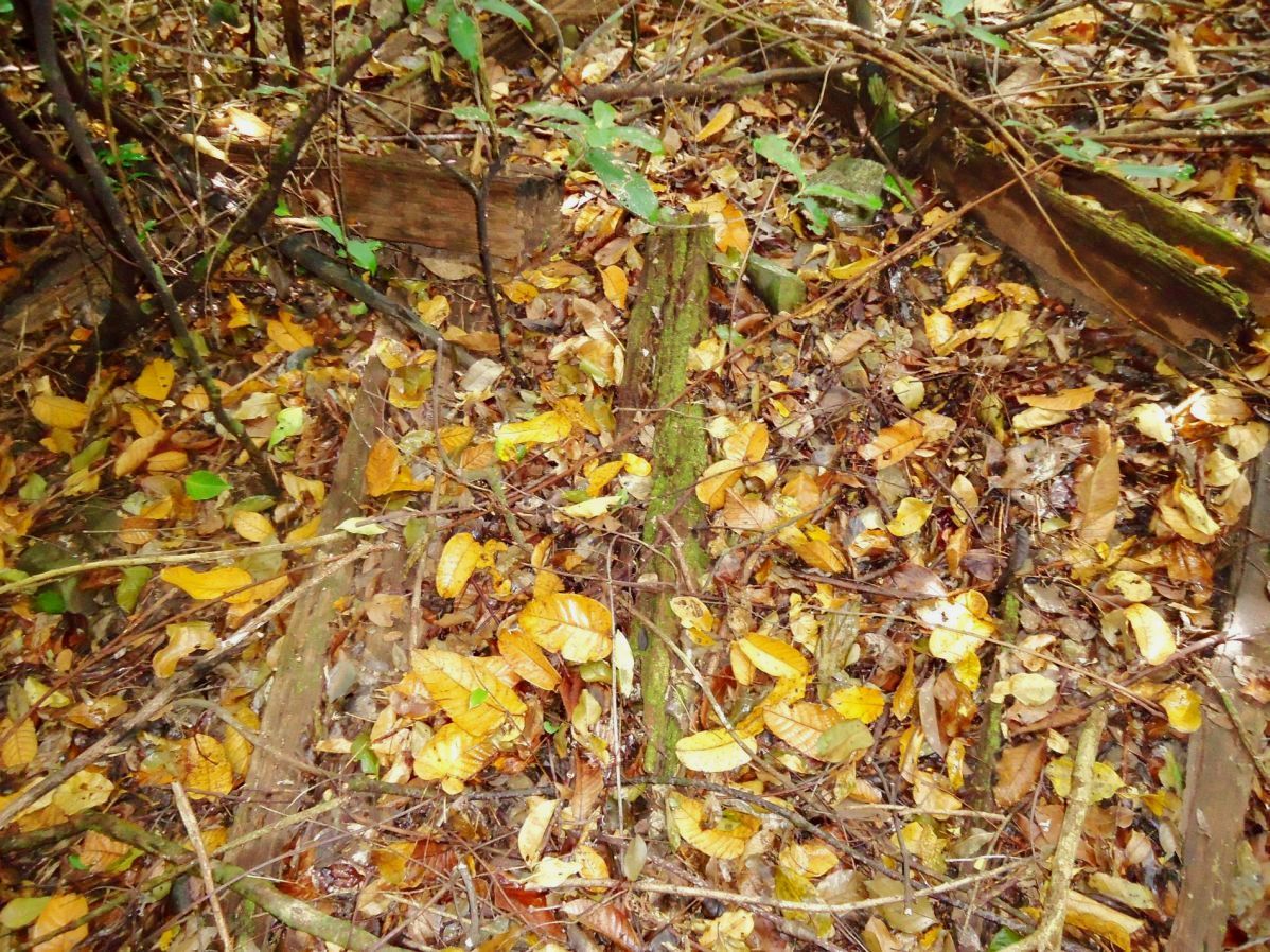 Z944- At some places along the trolley track are still many remains of the rail track ties 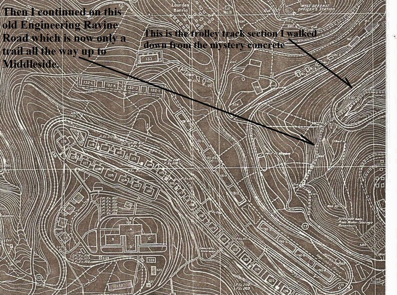 Z945- The map for this segment, I marked it to show the trolley track and the engineering ravine. 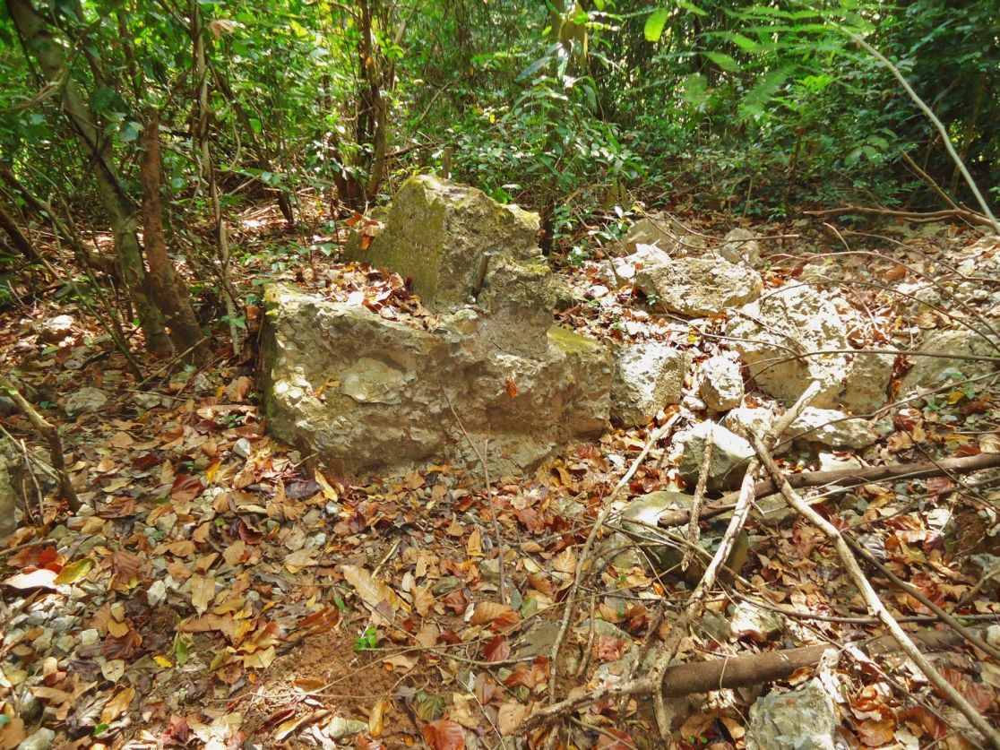 Z946- Came across this fair size chunk of concrete and I have no idea what it was or whether it came from places that were blown up. 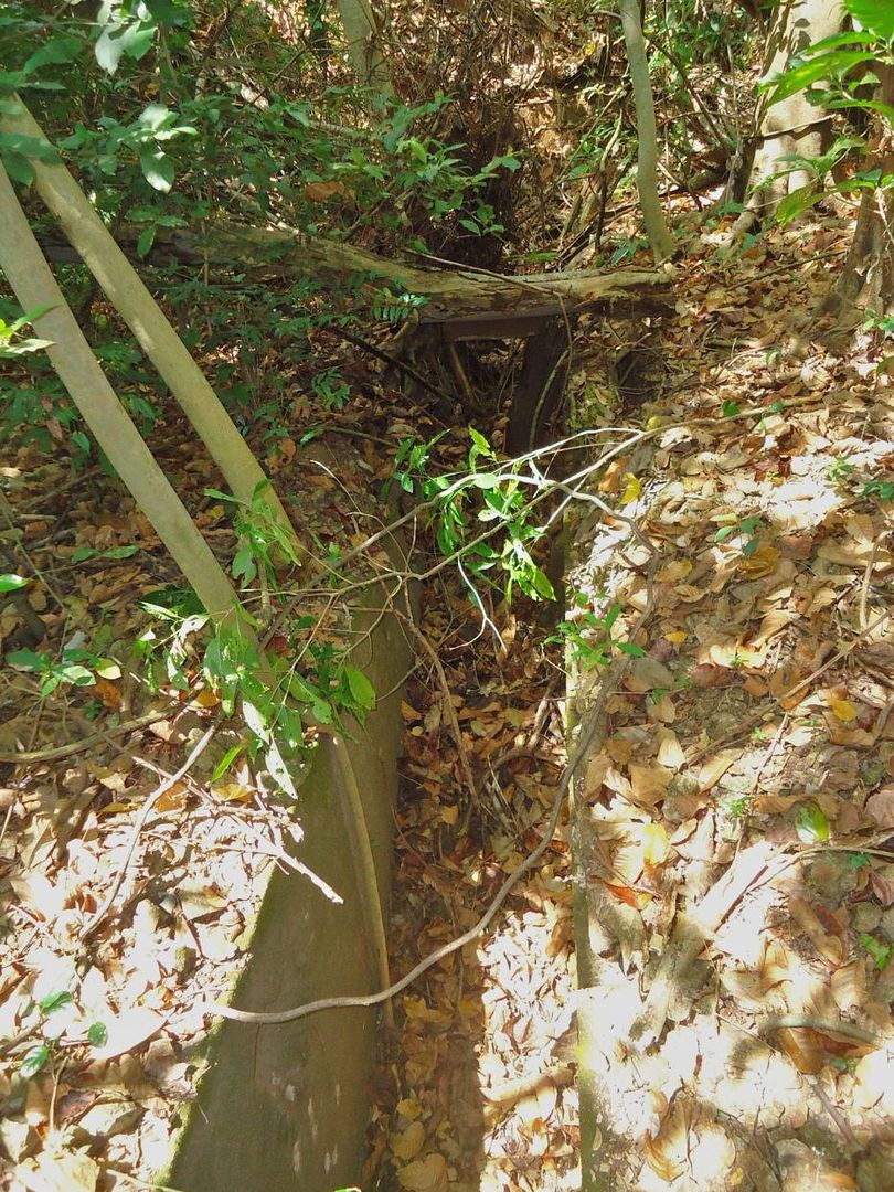 Z947- There was proper drainage along the trolley track. 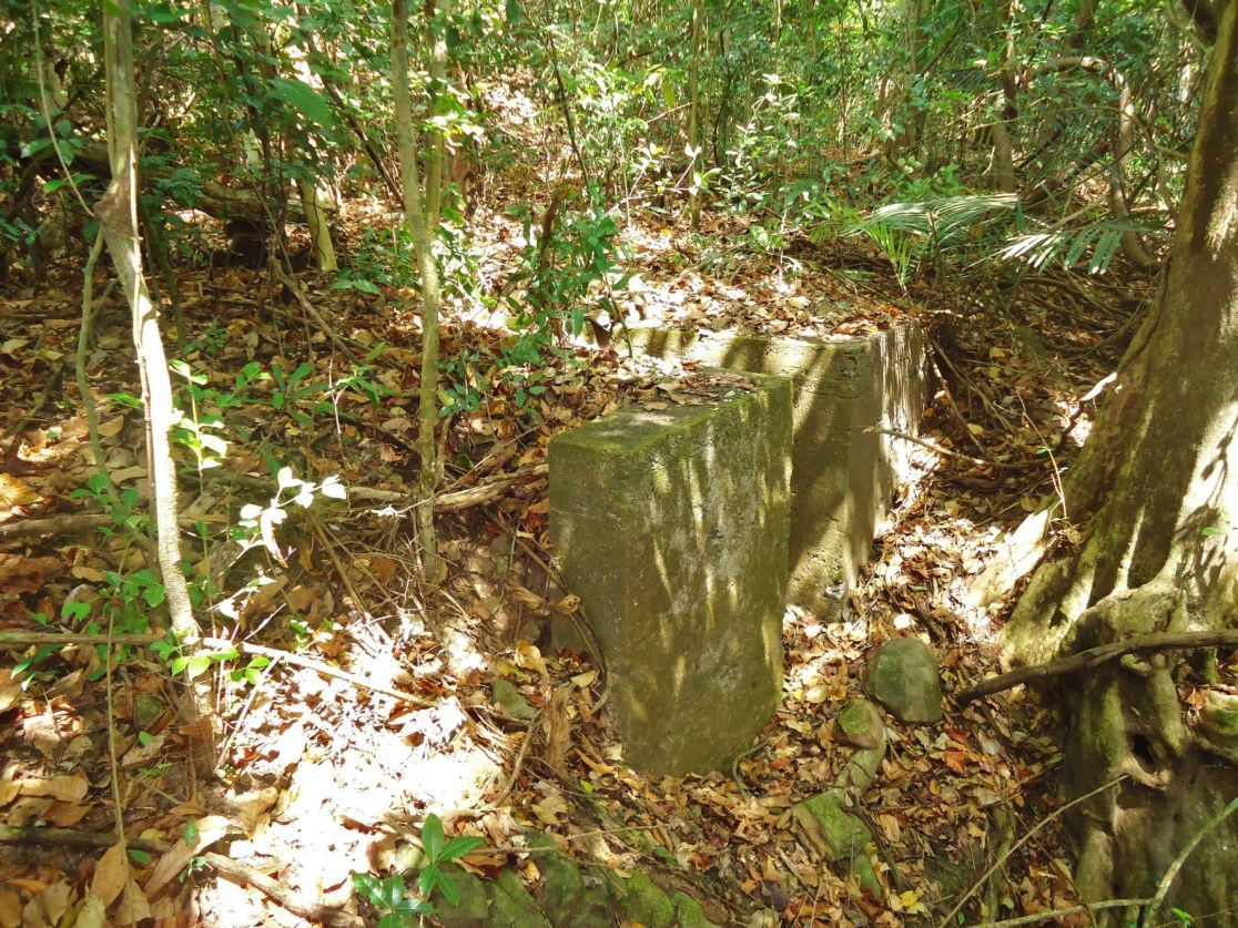 Z948- This whole arrangement served as an open culvert and the rail tracks were just laid across it. 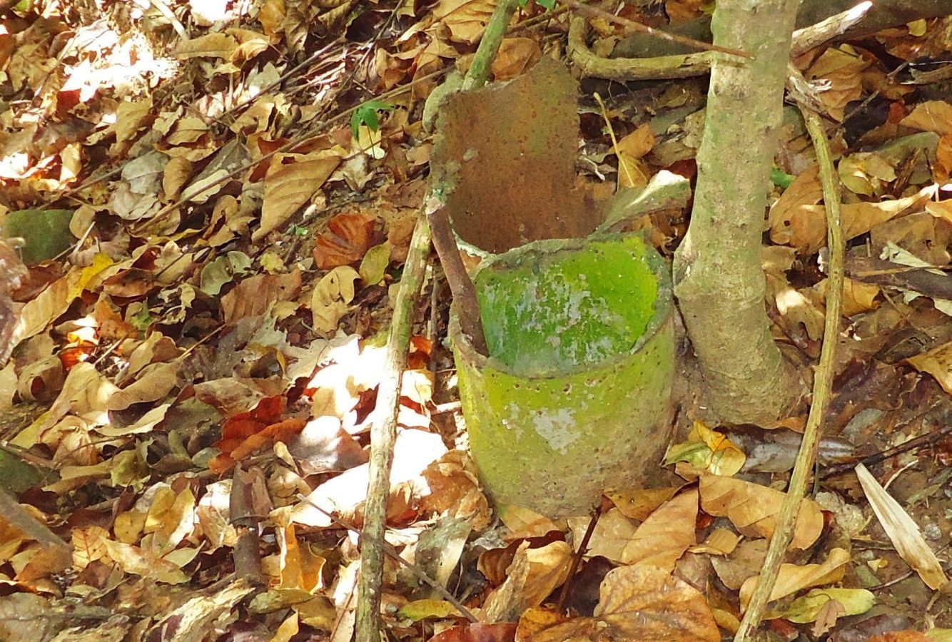 Z949- All along the trolley track on the whole island the metal pipes served as the power line posts. And they are all neatly cut at this level above the ground, who scrapped them? 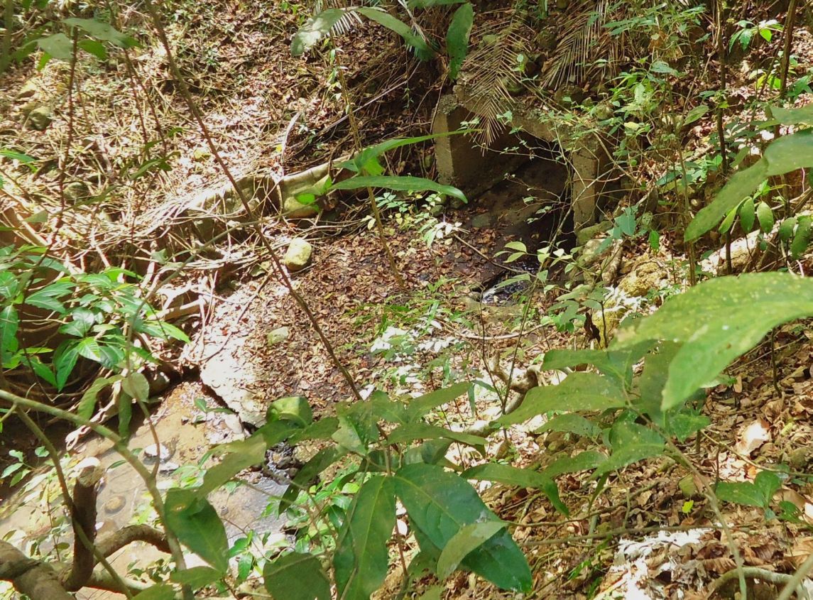 Z950- I reached the engineering ravine and we are able to see the down stream culvert end where the trolley track crosses the deep engineering ravine. Did the Japanese take up position in there in 1945? 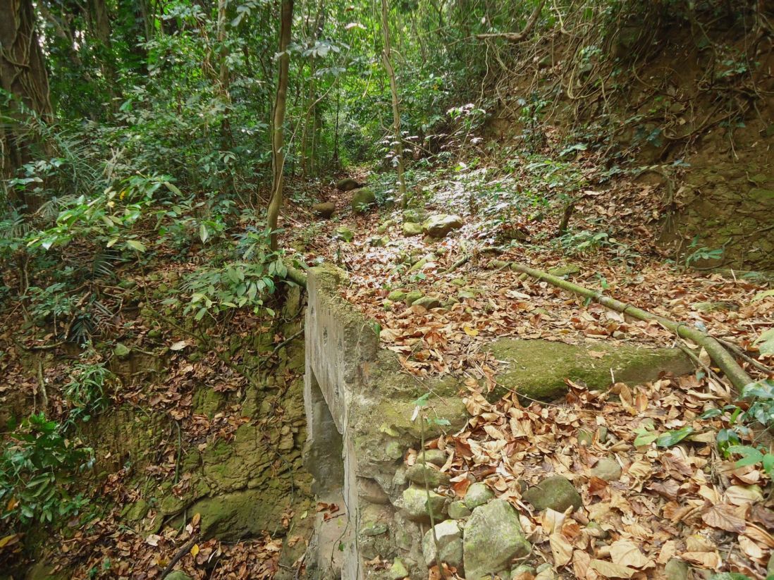 Z951- Just up from the trolley line crossing the engineering ravine the trail crosses a fairly large culvert. 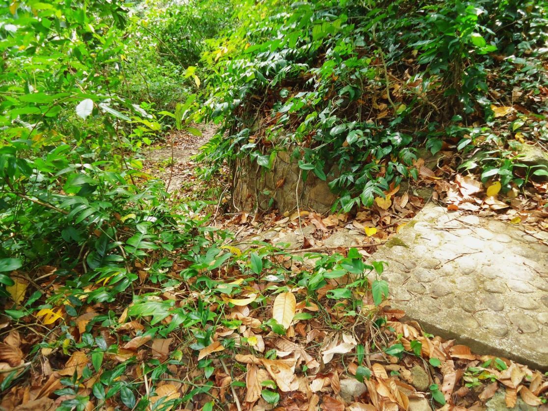 Z952- These are steps that used to go down into the huge aviary cage. It lead to a cage lock entrance, i.e. two doors. On the other side of the ravine was another one. The aviary project failed like so many enterprises on the island before 2003 when I started coming here. 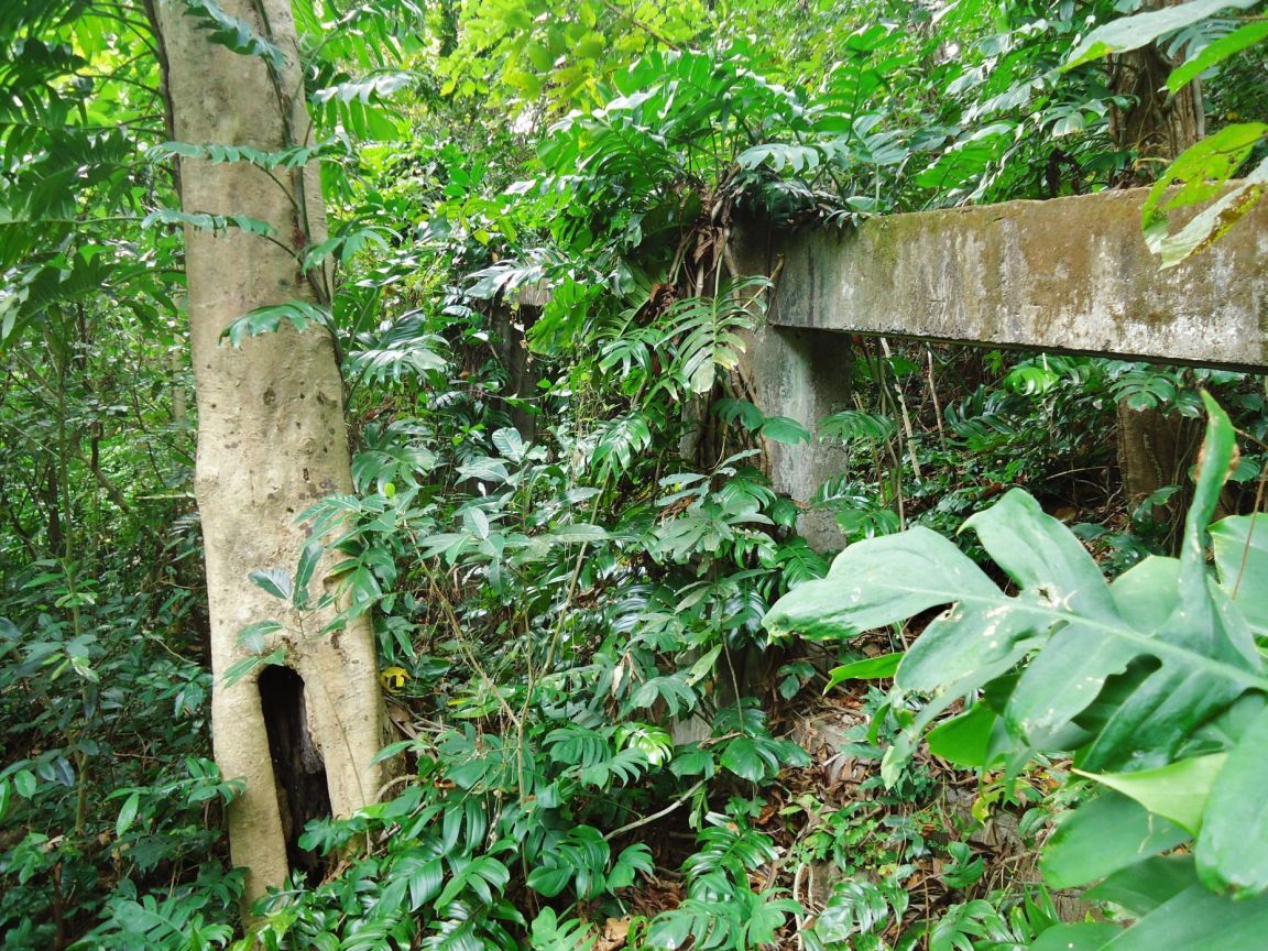 Z953- Remains of the huge aviary bird cage, these concrete frames (on each side of the ravine) were the bases for tall U-shaped frames which held the nets, it was huge. 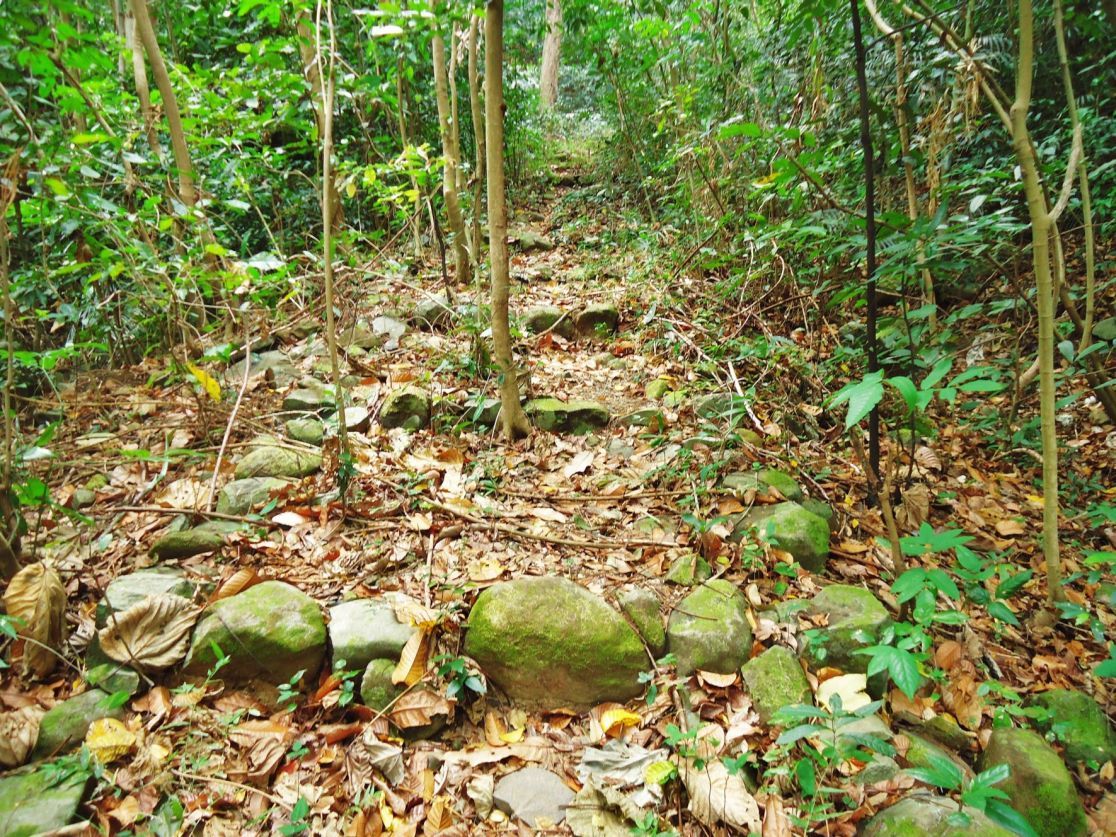 Z954- This must be a post war improvement to the engineering ravine road, now a trail, and it is near the top, at Middleside. 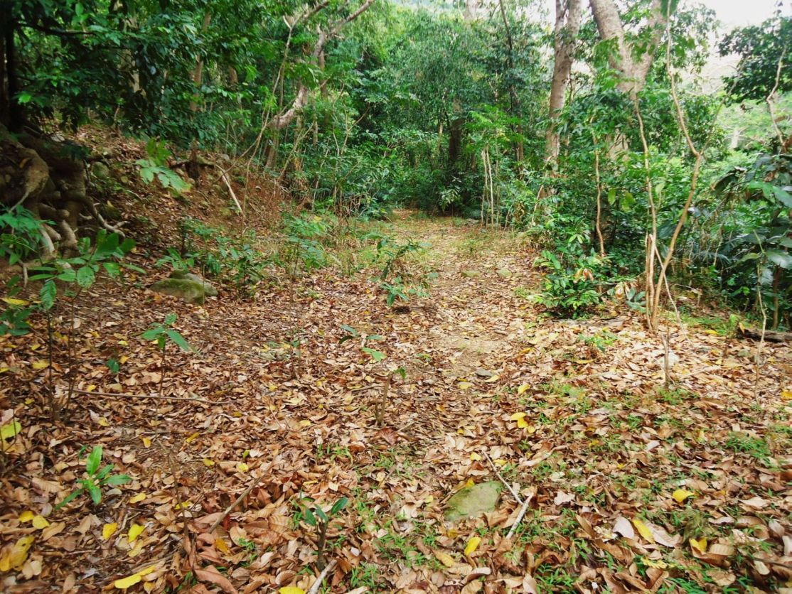 Z955- Near Middleside the engineering ravine road, now a trail, still looks like a road at some places. 167 pictures with short titles from this whole walk have been uploaded into this album: s74.photobucket.com/user/PI-Sailor/library/Corregidor%20at%20Random/CI%20Random%20Subalbum%20No%202/2013-02-12%20Eng-Wharf%20area?sort=6&page=1Note to cbuehler: thank you for your note and I agree with your assessment re Subic Bay! |
|
|
|
Post by Karl Welteke on Dec 2, 2013 18:04:51 GMT 8
CORREGIDOR 2013 Feb. 12, ENJOY A WALK WITH KARL THIS IS THE SIXTH SEGMENT, the THREE MILLION GALLON RAIN WATER STORAGE. After I arrived at Middleside I said hello to the Steve and Marcia Kwiecinski couple who live in the former Aviary Building and area. In the same area is the former -Three Million Gallon Rain Water Storage (1 of 2 on Fort Mills, Corregidor Island). It is located between the ex post WWII Aviary and Middleside Barracks. I had a closer look at this reservoir! I established a new album about this huge reservoir and give the URLs here with a few sample images. Remember the pictures in the albums are larger! Much of the deck of this rain water reservoir is destroyed. I do not know when or how the damage occurred, whether there was any fighting here in 1945 and whether it was used as tennis court as the other one on Topside prewar. This is my album URL of the -Three Million Gallon Rain Water Storage, Middleside- with 33 images. s74.photobucket.com/user/PI-Sailor/library/Corregidor%20by%20subject/Middleside%20on%20Corregidor/Rain%20Water%20Storage%203%20Mil-Gal?sort=9&page=1Here are 13 sample images: 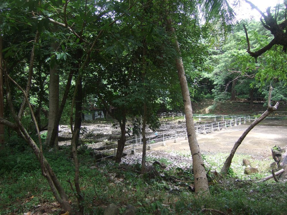 Y168- the Three Million Gallon Rain Water Storage (1 of 2 on Fort Mills, Corregidor Island). It is located on Middleside not far from the Middleside Barracks. Looking form the south corner! 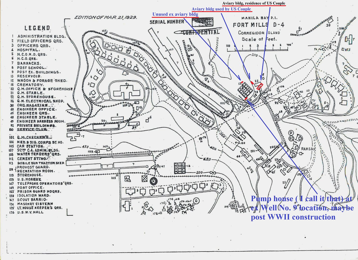  Y169- A section of a 1929 map of this area in Fort Mills on Corregidor Island in two parts, this is the left side. I marked in 4 new post war structures which you will see in this album. The thumb link is a larger version. 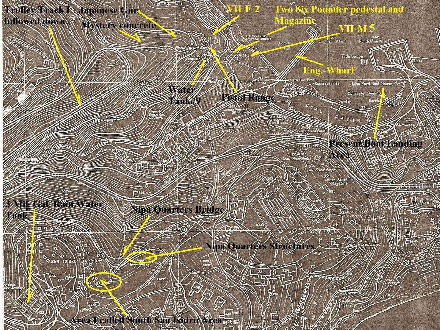 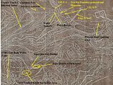 Y170- A section of a 1936 Fort Mills on Corregidor map and shows you better the location of the rain water storage. It does not show the structure, I call the -Pump House- at the location of Well No.9. The thumb link is a larger version. 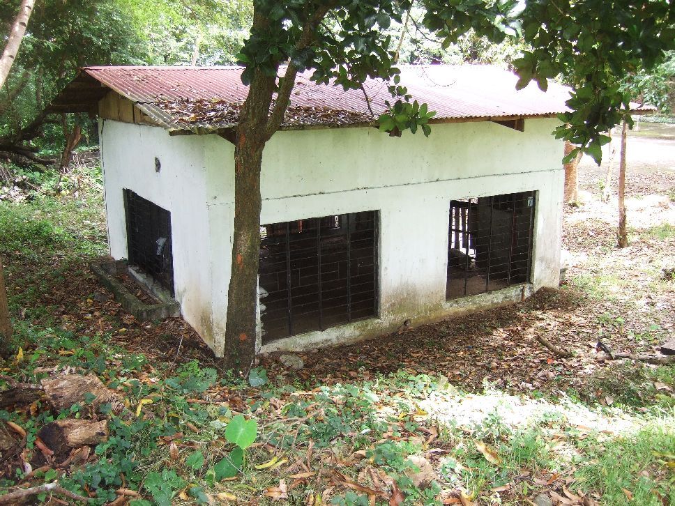 Y171- 2008-09-23 the structure, I call the -Pump House-, at the location of Well No. 9. At the south corner of this huge rain water reservoir, Middleside, ex Fort Mills on Corregidor Island. 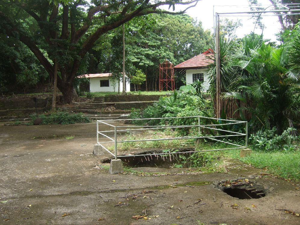 Y172- 2008-09-23 view from the structure, I call the -Pump House-, at the location of Well No.9 towards the ex aviary structures which are now used by a US couple. Notice two holes in the rain water reservoir. Later in a 2013 image something is growing out of this hole. 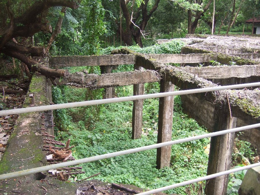 Y173- 2008-09-23 looking down the SW side of the reservoir in the NW direction. 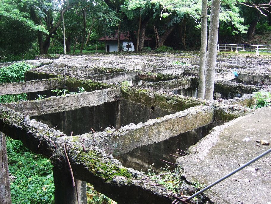 Y174- 2008-09-23 looking in the north direction across the reservoir. In the distance is the unused ex aviary structure. 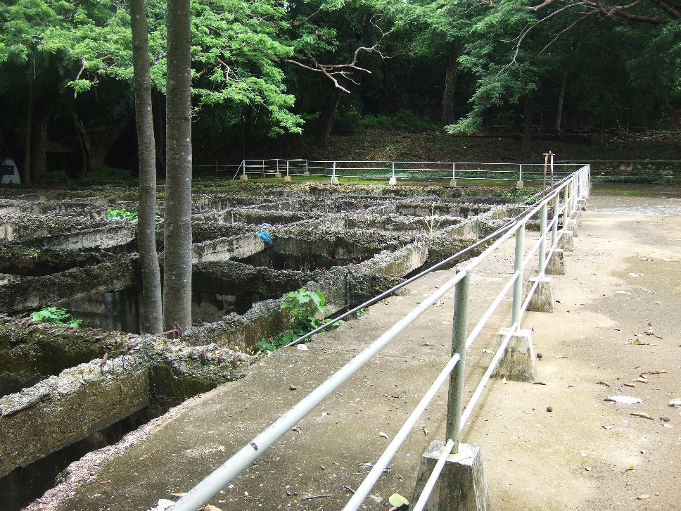 Y175- 2008-09-23 looking in the NE direction across the reservoir. Up on the rise in back were houses of the Ft. Mills Barrio San Isidro. 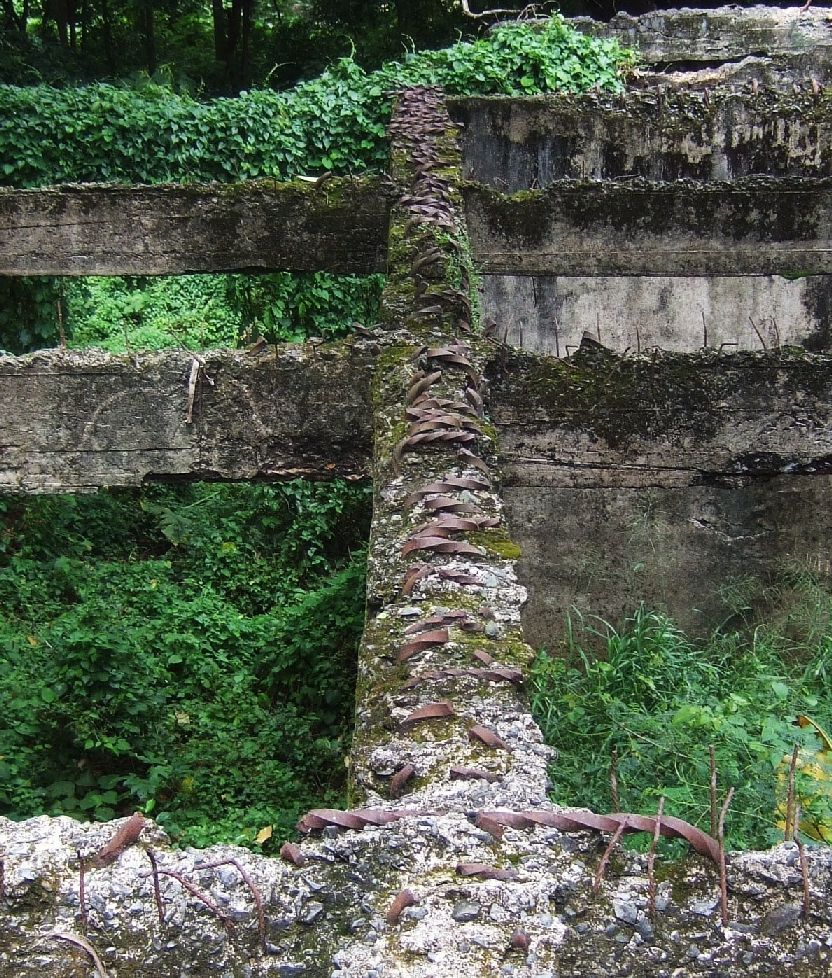 Y176- 2008-09-23 looking in the NW direction across the reservoir from near the two trees in the last image. 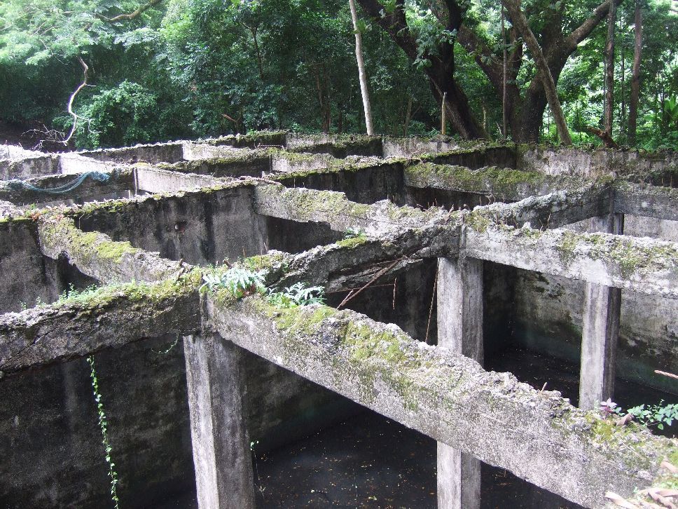 Y177- 2008-09-23 looking into the reservoir near the two trees. 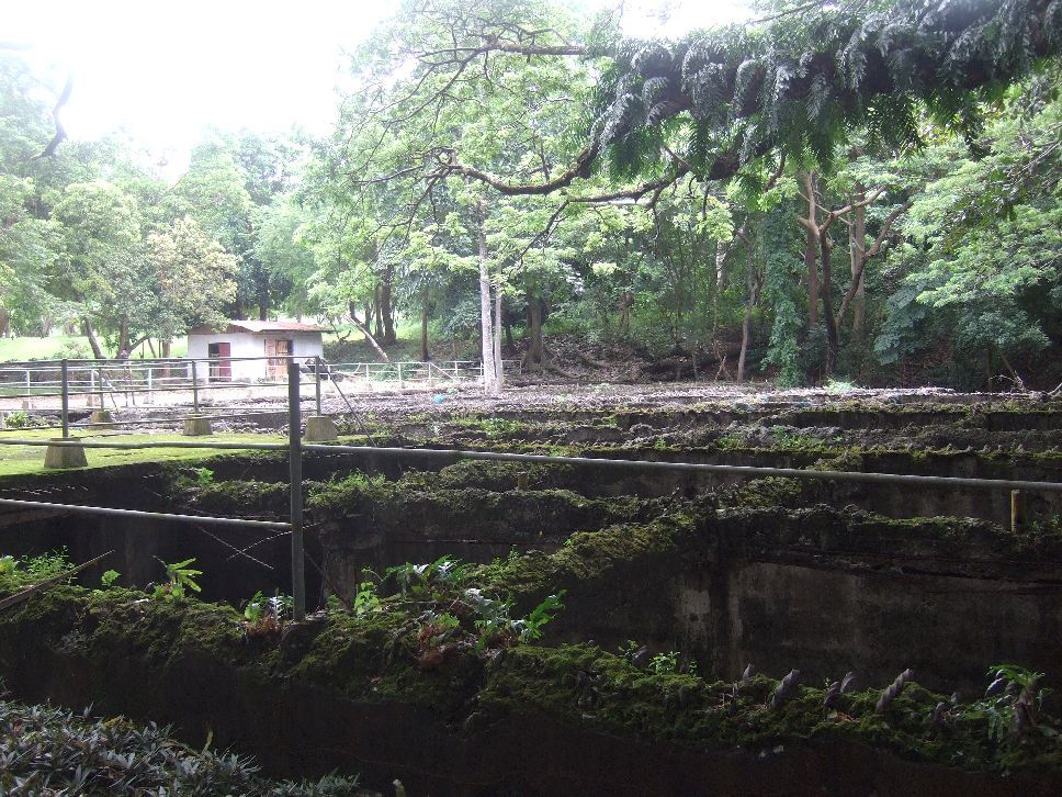 Y178- 2008-09-23 looking from north to south across the 3 Million Gallon Rain Water Storage and in back is the Pump house (I call it that) at ex Well No. 9 location. 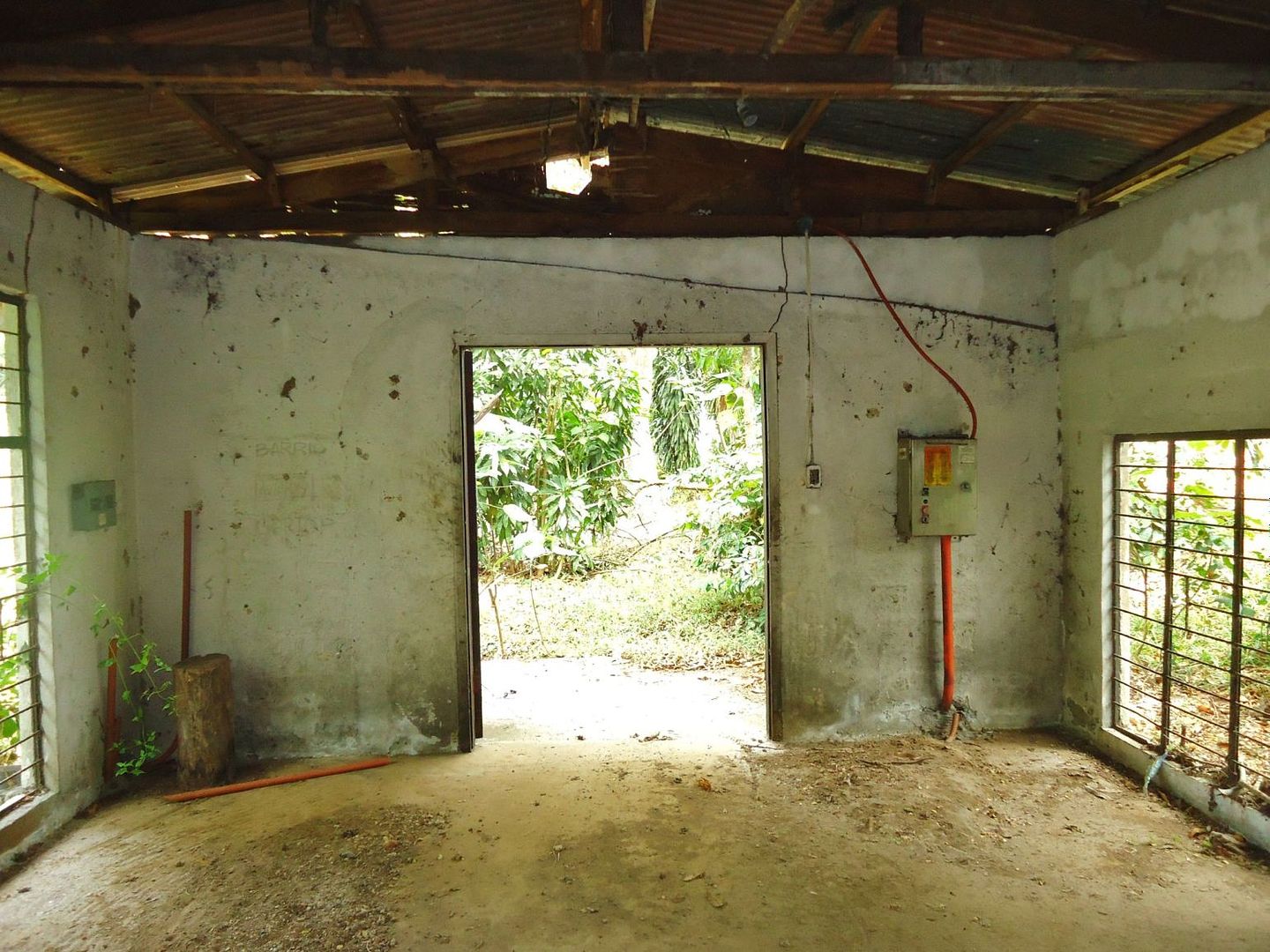 Y179- 2013-02-12 inside the Pump house ( I call it that) at ex Well No. 9 location, at the south corner of the reservoir. The electrical work seems to be post WWII. 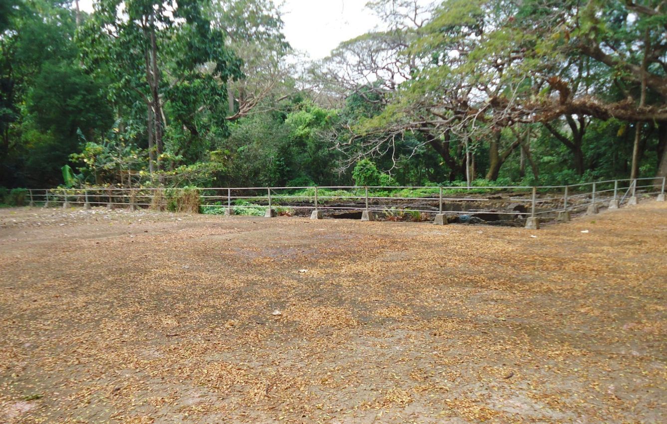 Y180- 2013-02-12 This is the only view from the east corner and it seems the two trees we seen earlier from 2008 (in the album) are still there and are bigger. |
|
|
|
Post by Karl Welteke on Dec 3, 2013 14:09:03 GMT 8
CORREGIDOR 2013 Feb. 12, ENJOY A WALK WITH KARL THIS IS THE SEVENTH SEGMENT, BARRIO SAN ISIDRO, FORT MILLS AT MIDDLESIDE After I said good by to the Kwiecinski Couple, now living at the former post WWII Aviary area, I went to check out the former barrio San Isidro. I assume it was mostly populated by Philippine Scout Families. I established a new album about this barrio as to what is left to see now. and give the URL here with a few sample images. Remember the pictures in the albums are larger! The area of the former barrio is mostly wooded now and it is fairly easy to walk except for a few bushes with thorny plants which one has to maneuvers around. This is my album URL of barrio San Isidro, Fort Mills, Corregidor Island at Middleside- with 19 images. s74.photobucket.com/user/PI-Sailor/library/Corregidor%20by%20subject/Middleside%20on%20Corregidor/San%20Isidro%20Barrio%20at%20Ft-Mills?sort=9&page=1Here are 9 sample images: 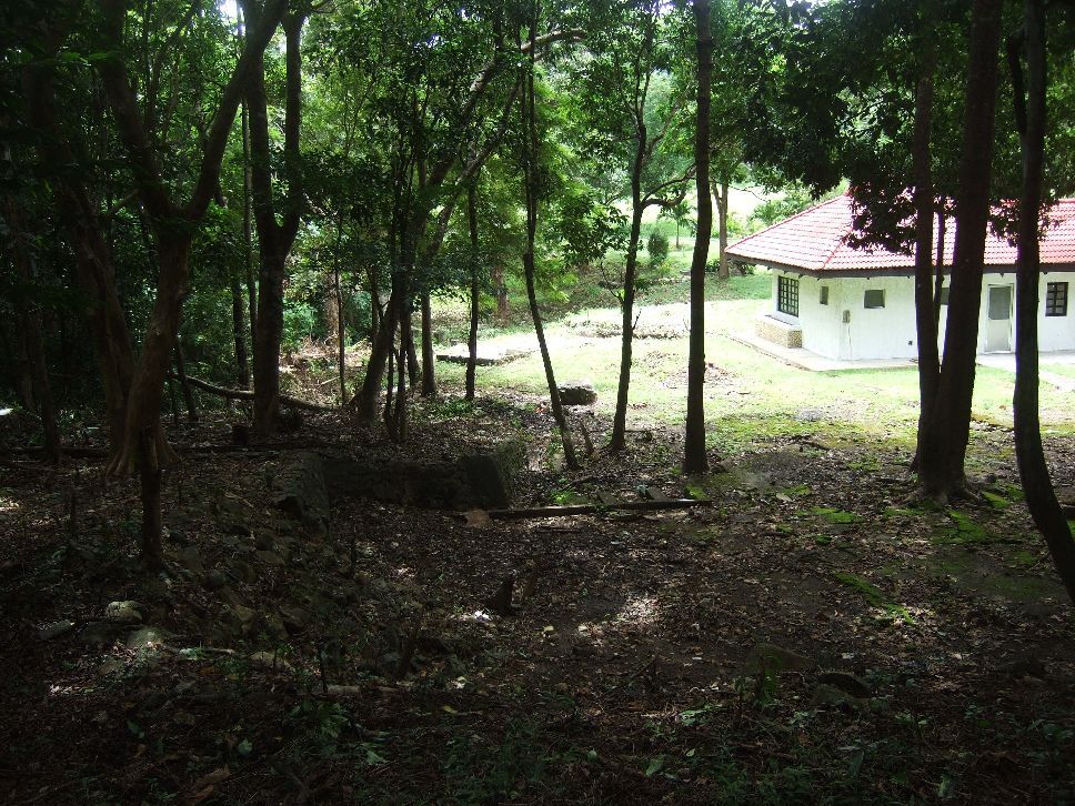 Y182- 2008-09-23 View from the former Barrio San Isidro Rise towards the Middleside parade grounds. The house was the former and post WWII Aviary residence and is now used by the American couple doing research and promotion for Corregidor. 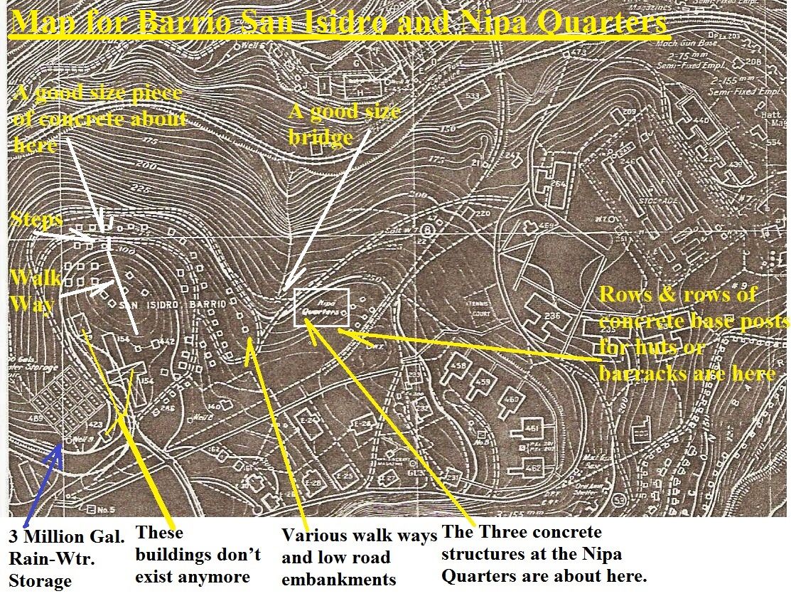  Y183- This map pretty much describes what I seen so far as what is left from Barrio San Isidro and what is in this album. 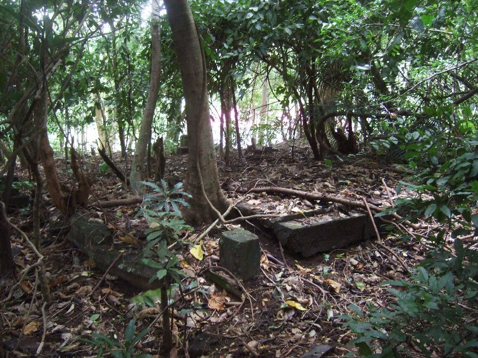 Y184- 2008-09-23 On top of the Barrio San Isidro rise are many concrete floors to houses or buildings and a concrete walkway runs over this rise on a north south axis. 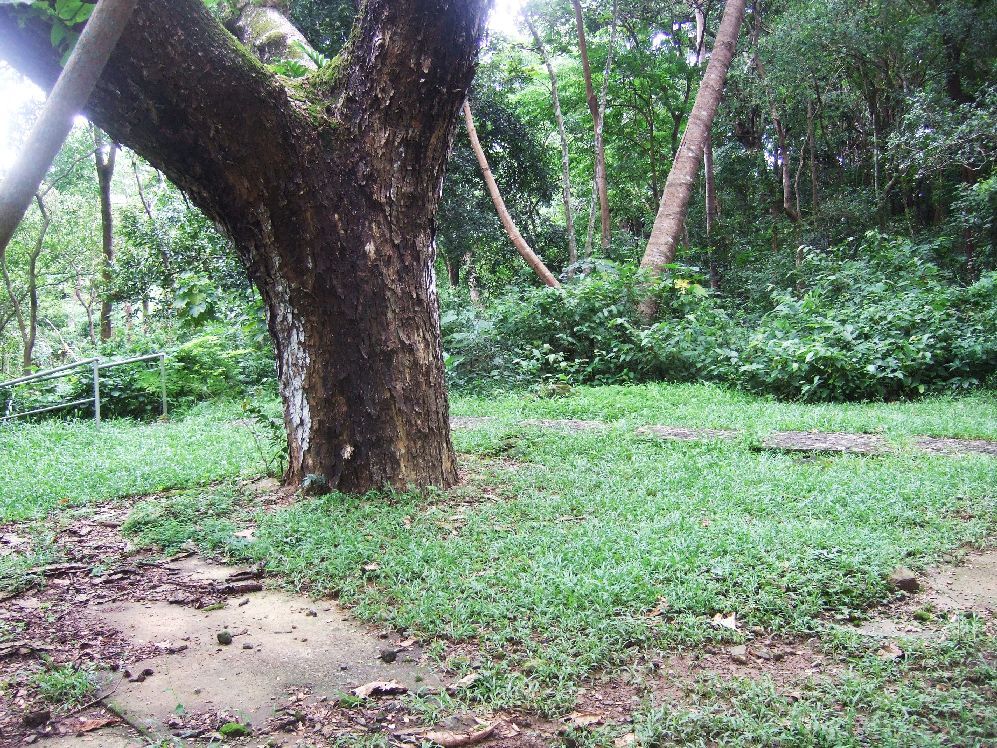 Y185- 2008-09-23 This is at the NW corner of barrio San Isidro at Fort Mills on Corregidor Island in Manila Bay. Two roads start here to go around the San Isidro rise. The steps led down to the former Aviary huge bird Cage. 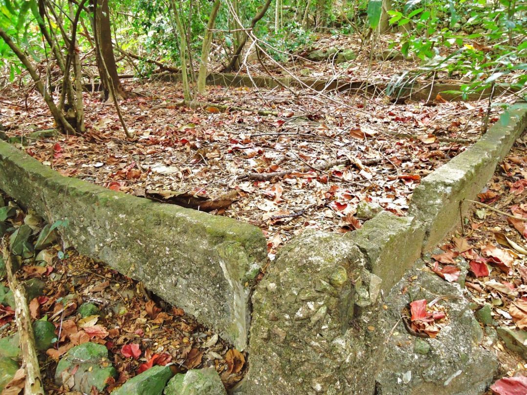 Y186- 2013-02-12 These are foundations for houses at the SE corner of the former barrio San Isidro at Fort Mills on Corregidor Island in Manila Bay. 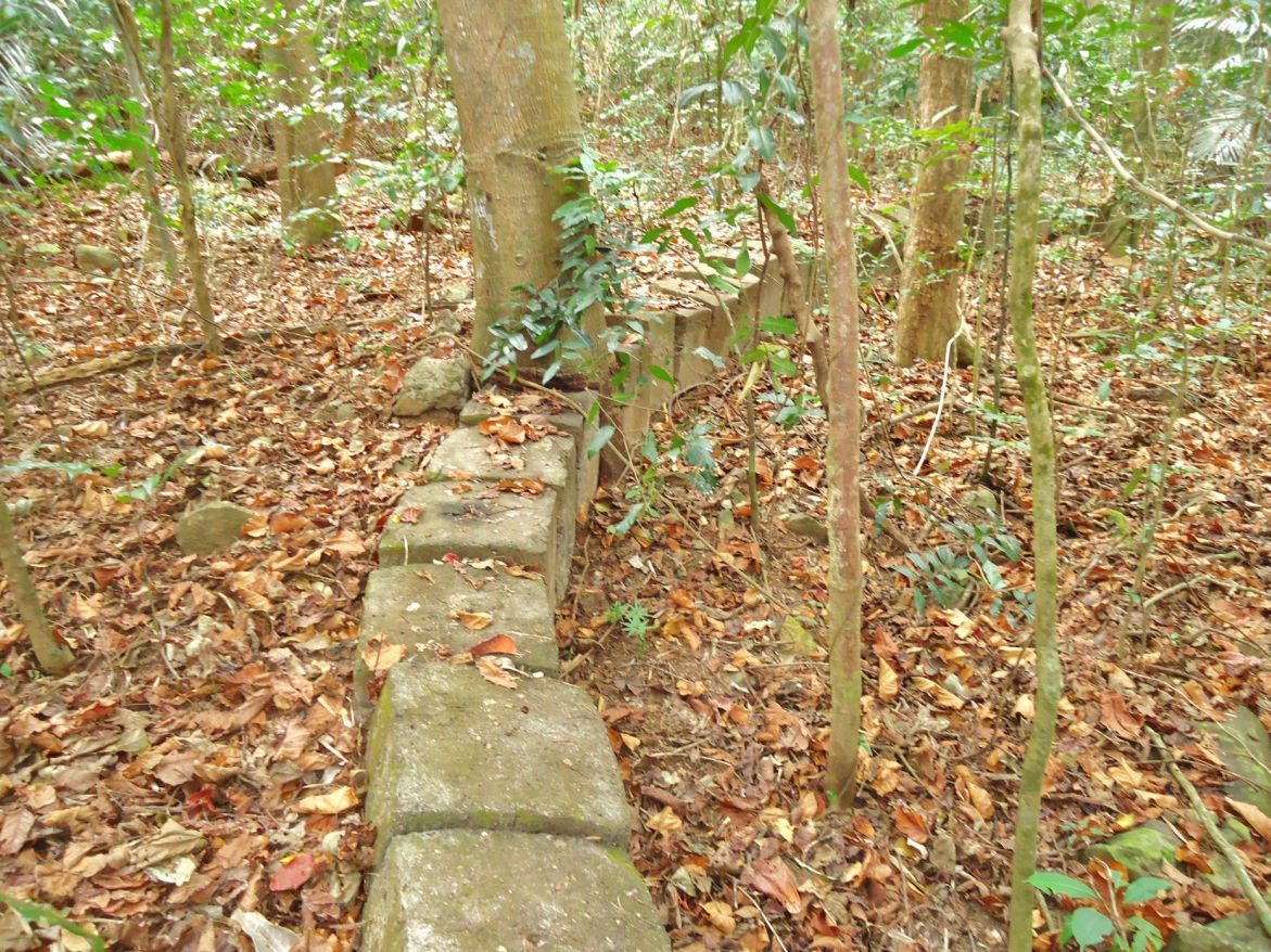 Y187- 2013-02-12 This is a low embankment for the road on the SE corner of barrio San Isidro near the Nipa Quarters. 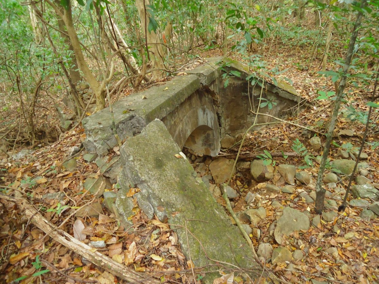 Y188- 2013-02-12 Barrio San Isidro had a separate road towards the Stockade Level and it crossed a small creek with this bridge between the barrio and the Nipa Quarters. 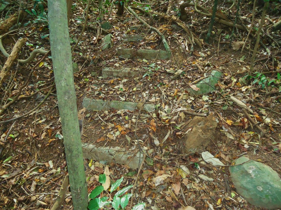 Y189- 2013-02-12 These steps go down the slope on the north side of the San Isidro Rise coming from that long walkway which runs pretty much on a north-south axis. 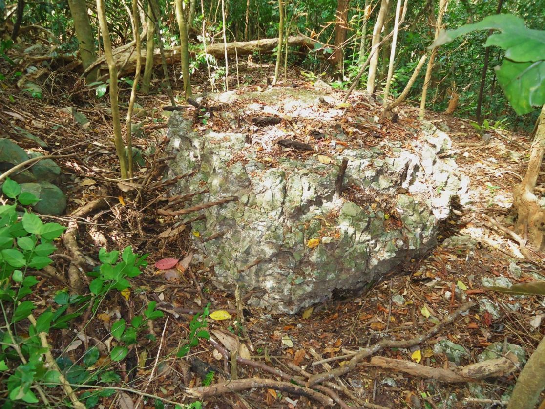 Y190- 2013-02-12 Near those steps in the last image is this large concrete block. It came from what explosion? It looks a little similar like the mystery concrete near the Japanese gun on the Morrison Hill slopes. 167 pictures with short titles from this whole walk have been uploaded into this album: s74.photobucket.com/user/PI-Sailor/library/Corregidor%20at%20Random/CI%20Random%20Subalbum%20No%202/2013-02-12%20Eng-Wharf%20area?sort=6&page=1 |
|
|
|
Post by Karl Welteke on Dec 25, 2013 11:09:14 GMT 8
CORREGIDOR 2013 Feb. 12, ENJOY A WALK WITH KARL THIS IS THE EIGTH SEGMENT, NIPA QUARTERS, FORT MILLS AT MIDDLESIDE This is the last segment of my Corregidor 2013 Feb. 12th walk. Down slope from the Barrio San Isidro, towards the Stockade level and north of the Engineering offices is an area called: “Nipa Quarters”. Nipa Quarters are only two words on the map but we don’t know any history or stories of this community. Here are some concrete structures and many rows of concrete base posts to build structures above the ground. This was a large community, were they for Fort Mills workers? John Moffitt came across them not too long ago. Another Corregidor surprise, I visited them twice and here are my pictures of this unknown and forgotten community. This is my album URL of the Nipa Quarters, Fort Mills, Corregidor Island at Middleside- with 27 images: s74.photobucket.com/user/PI-Sailor/library/Corregidor%20by%20subject/Middleside%20on%20Corregidor/Nipa%20Quarters%20at%20Middleside?sort=9&page=1Here are some sample images: 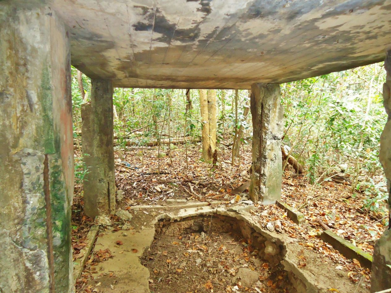 Y228- 2013-02-12 I call this Nipa-Quarters structure #1. The numbers have been picked by me in the order I seen the structures as I came down from Barrio San Isidro. 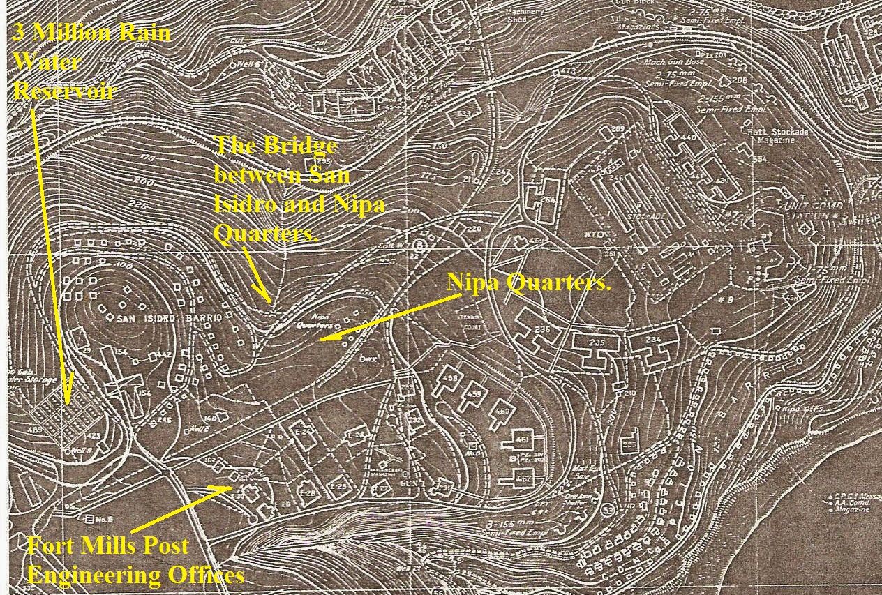 Y229- A section of the 1936 Corregidor map showing the location of the Nipa Quarters. I got the map from the Coastal Defense Study Group folks, thank you! 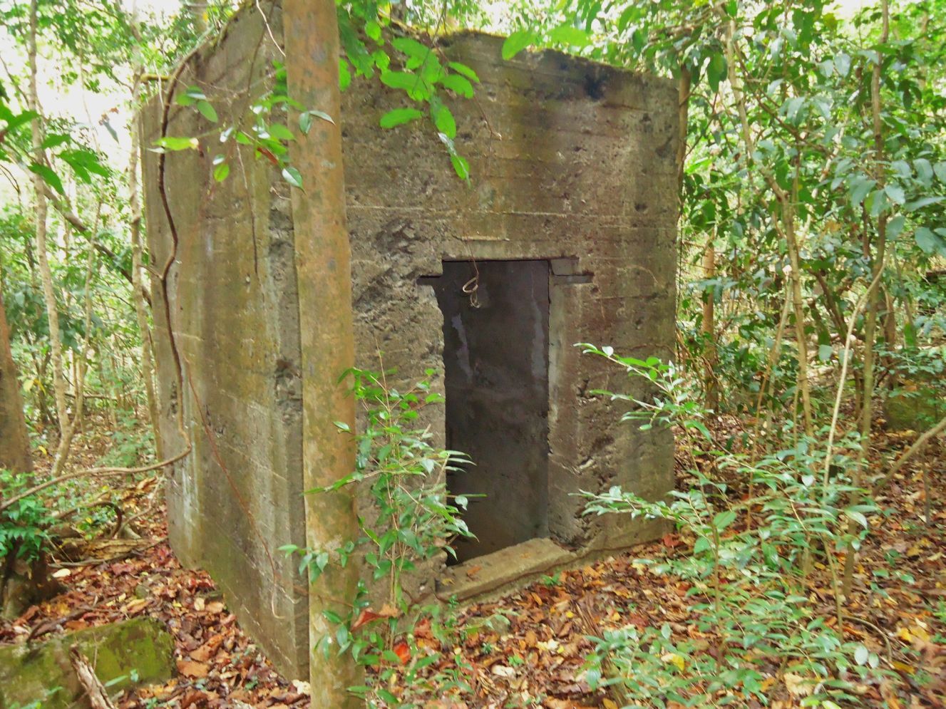 Y230- 2013-02-12. This is structure #2 in the Nipa Quarters area on Corregidor Island Middleside. 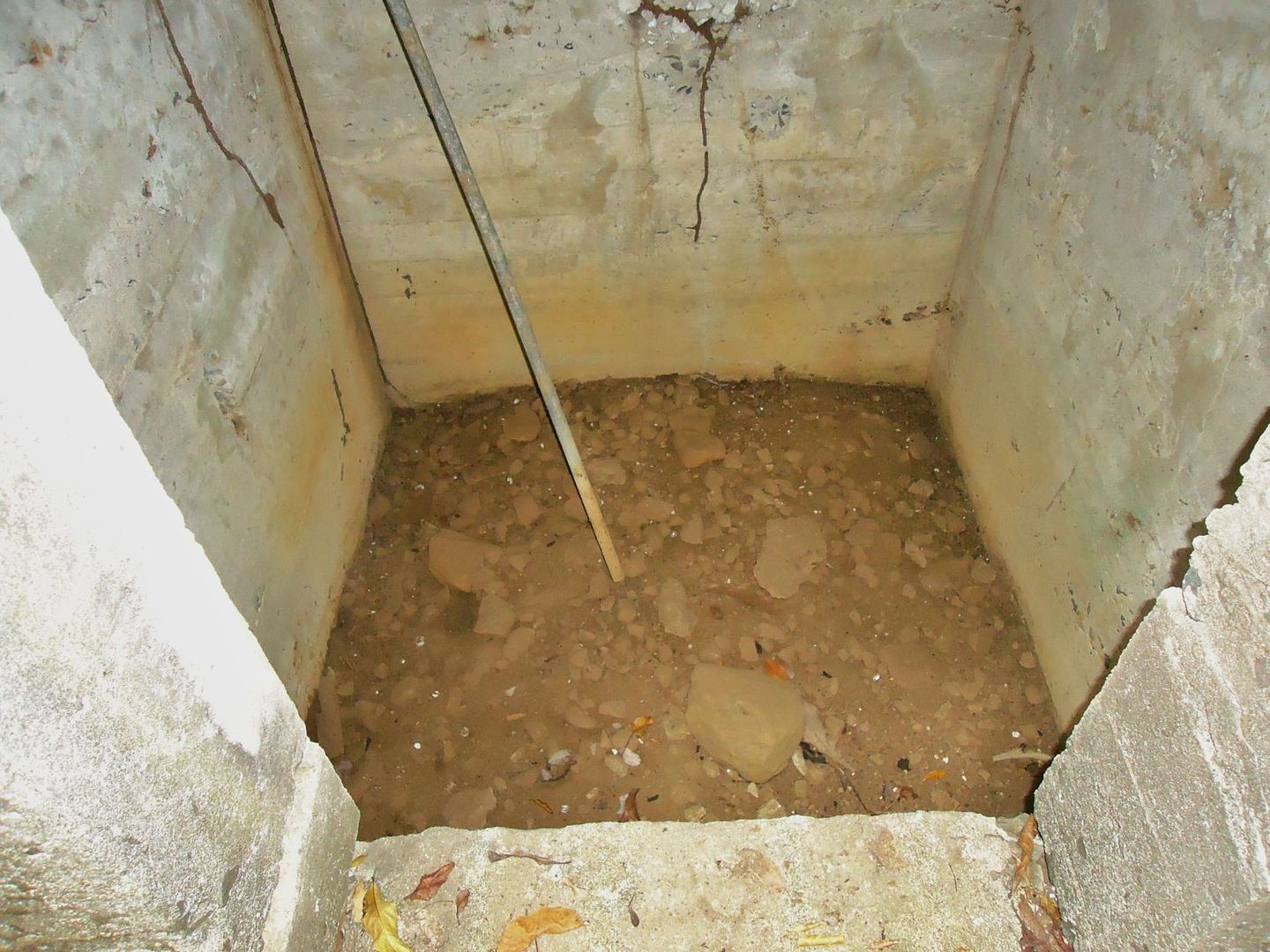 Y231- 2013-02-12. This is structure #2 in the Nipa Quarters area on Corregidor Island Middleside. This is inside and the bottom of the structure. 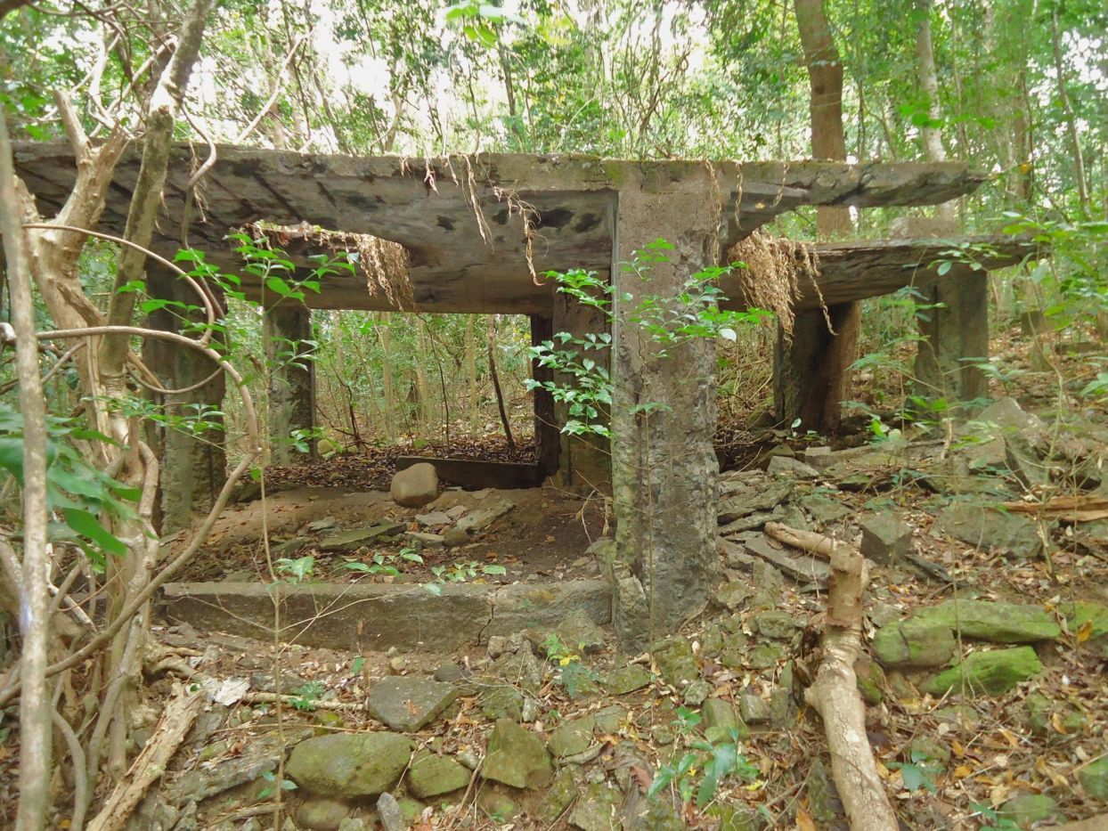 Y232- 2013-02-12. This is structure #3 in the Nipa Quarters area on Corregidor Island Middleside. But we do not know what purpose most of these structures served. 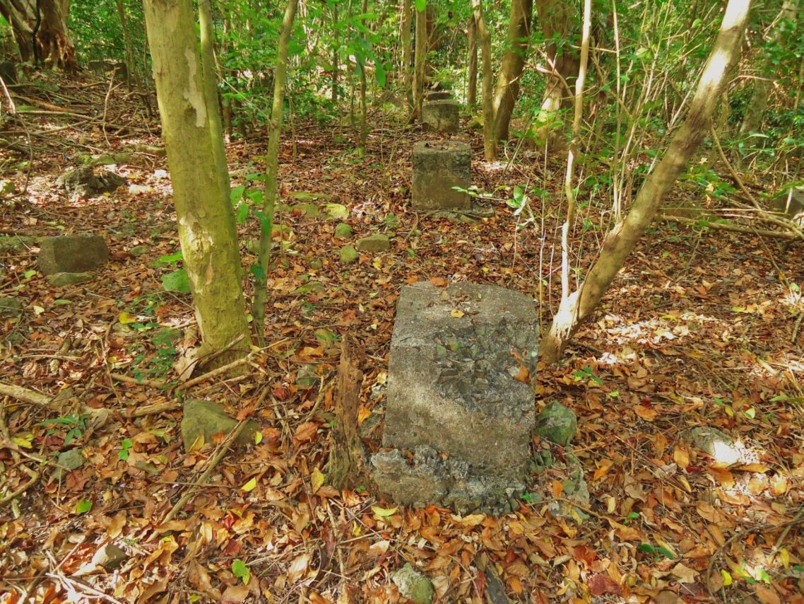 Y233- 2013-02-12. These are structures #4 in the Nipa Quarters area on Corregidor Island Middleside. Here are many rows of concrete foundation posts for numerous nipa structures. Who were they for and we don’t know anything about them! 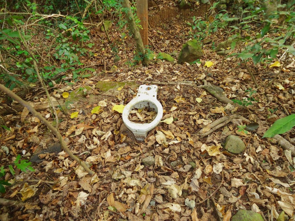 Y234- 2013-01-12 A floor for a structure in the Nipa Quarters area on Corregidor Island Middleside. Apparently not all structures were built above the ground! Another structure in the Nipa Quarters area on Corregidor Island Middleside. I did not give it a name or number. 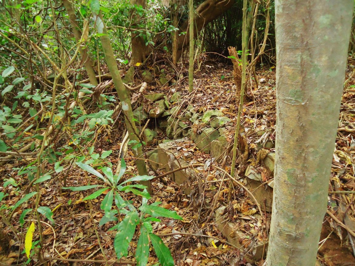 Y235- 2013-02-12. The Nipa Quarters area on Corregidor Island Middleside is laid out on a slope and some embankments are used to make stable grounds for the structures. 167 pictures with short titles from this whole walk have been uploaded into this album: s74.photobucket.com/user/PI-Sailor/library/Corregidor%20at%20Random/CI%20Random%20Subalbum%20No%202/2013-02-12%20Eng-Wharf%20area?sort=6&page=1This is the end of walk description from the day -2013-01-12- with this eighth and last segment. |
|
|
|
Post by Karl Welteke on May 29, 2014 14:51:09 GMT 8
FLAG RAISING ON CORREGIDOR IN MEMORY OF FIRST DAY OF LIBERATION 1945 FEB. 16 Corregidor Visit 2014 Feb. 15th to 17th. First Segment of Three. As a tradition, the Corregidor Foundation Inc. (CFI), the Corregidor resident American Couple Kwiecinski, the Australian webmaster of the famous corregidor.org web pages, Paul Whitman, join up every February 16th and raise the American Flag on the old Spanish Flagpole Topside. This is in memory of the anniversary of the 1st day of Liberation for the ex Fort Mills, Corregidor Island, by the American Forces on that day in 1945. Paratroopers climbed a pole that day, nearby, under fire, and raised the US Flag. Whenever I can I join in and this time brought my German family friend. An album was established from that visit 2014 Feb. 15 to 17 with 59 images and here it is: tinyurl.com/kjmh5yuThis is the 1st segment of some sample pictures of this visit in this forum: The thumbnail icons should open as a bigger, better readable copy. 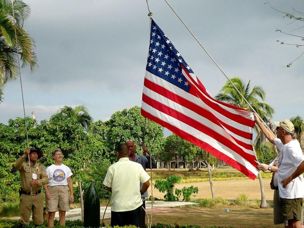 X309-- 2014-02-16 The team is getting ready to hoist the flag in memory of the anniversary of the 1st day of Liberation for the ex Fort Mills, on that day in 1945. Paratroopers climbed a pole that day, under fire, and raised the US Flag. 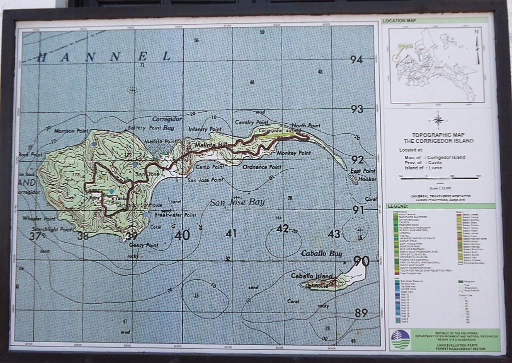  X310-- The Corregidor Foundation Inc. (CFI), has put up some new information plaques, this one is located at the Administration Building on Bottomside. 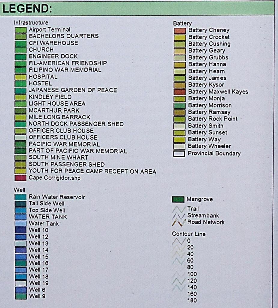  X311-- This is the zoomed portion of the legend for the new plaque. 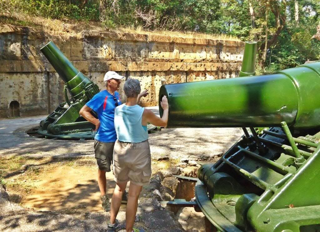 X312-- 2014-02-15 My German family friend Harald and Marcia Kwiecinski, an American resident on Corregidor Island, are discussing the history of Battery Way. 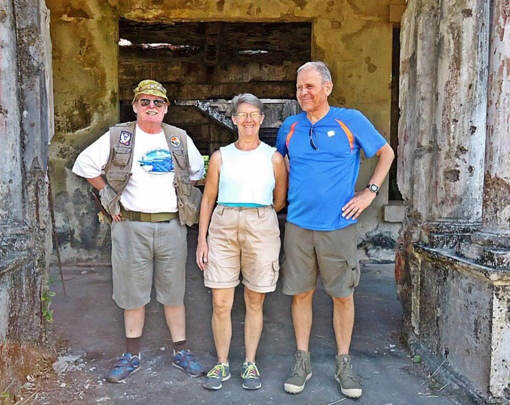 X313-- We are standing at the main entrance to the ex Fort Mills Hospital, many a Military dependant was born here. After the surrender the Japanese allowed the American wounded to be moved back here. L. to R. Paul Whitman, Marcia Kwiecinski and Harald Klose. 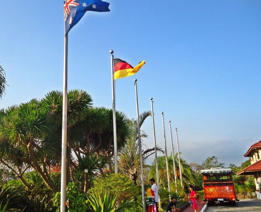 X314-- The flags are going up at the Corregidor Inn, this is the first time I noticed the German Flag going up. 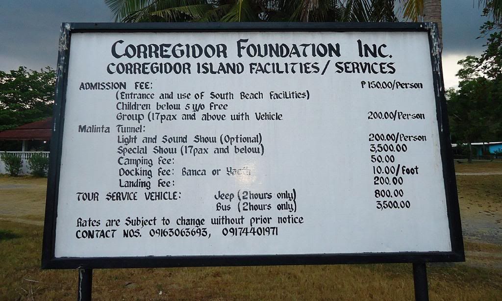  X315-- A reminder what some of the fees are if you visit Corregidor on your own, that makes you a Walk-In. The sign stand at the South Shore Dock, Bottomside. 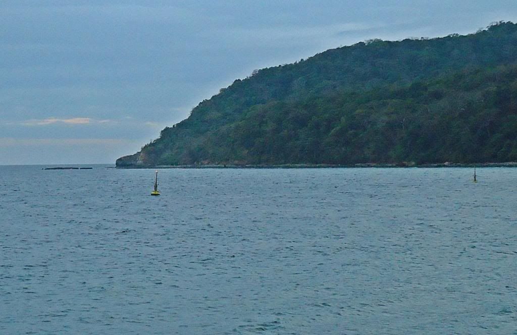 X316-- Another new thing on Corregidor, somewhere on this bulletin board, the member fots2 has a better picture posted. That buoy is part of a new National Tsunami Warning system. It is located offshore, south side Bottomside. 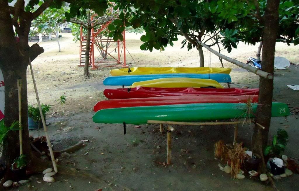 X317-- Kayaks for rent, managed by the staff of the Corregidor Inn. They are located near the watering hole, the ex Pirate’s Cove. Once a favorite watering hole of fots2 and I, south side of Bottomside. It is closed now and had several names over the years, I like Pirate’s Cove. 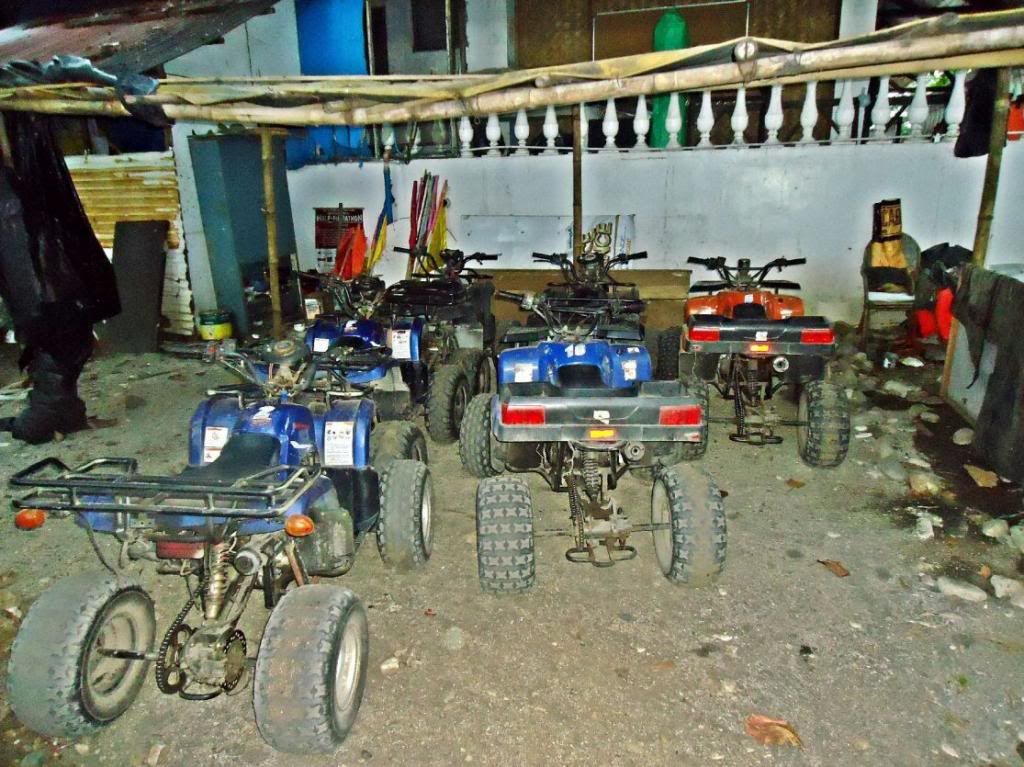 X318-- These are the 6 remaining ATV, a project started by Sun Cruise Inc. and they are kept behind, inland of the ex watering hole Pirate’s Cove. 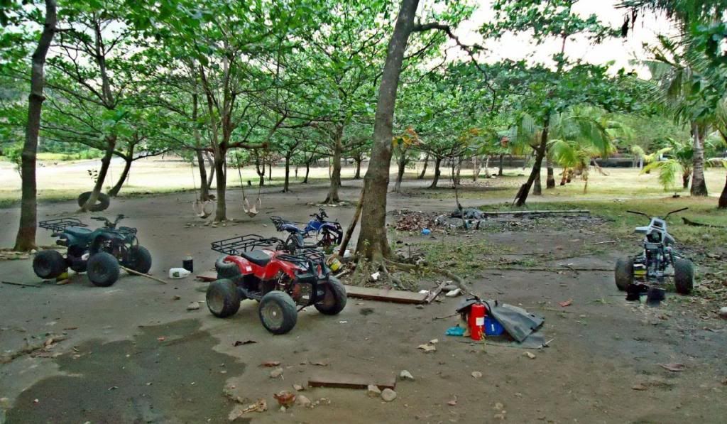 X319-- Here are the other 4 ATVs in different state of dismantling for the purpose of attaining spare parts. 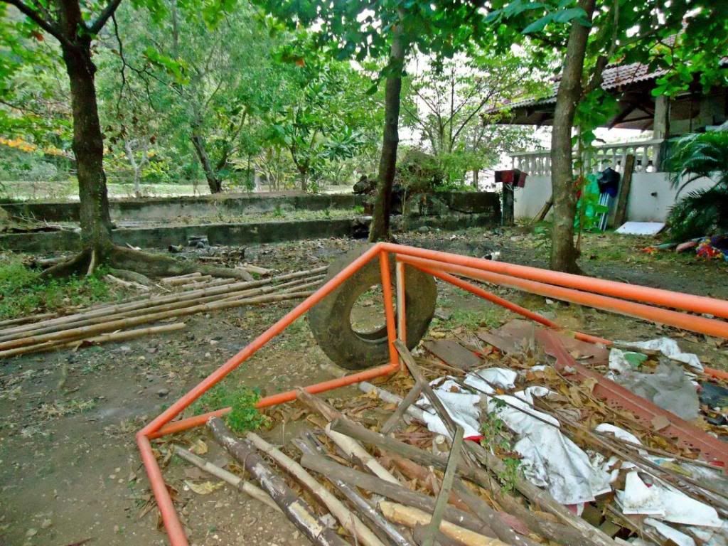 X320-- Behind, inland, the ex watering hole Pirate’s Cove is this hole in the ground. I suspect it had something to do with Army water mine cable system. I will have a closer look in the future. Right is the ex watering hole Pirate’s Cove and in back is that concrete structure which I understand was part of the Army sea mine system. |
|
|
|
Post by Karl Welteke on May 31, 2014 21:48:45 GMT 8
FLAG RAISING ON CORREGIDOR IN MEMORY OF FIRST DAY OF LIBERATION 1945 FEB. 16 Corregidor Visit 2014 Feb. 15th to 17th . Second Segment of Three As a tradition, the Corregidor Foundation Inc. (CFI), the Corregidor resident American Couple Kwiecinski, the Australian webmaster of the famous corregidor.org web pages, Paul Whitman, join up every February 16th and raise the American Flag on the old Spanish Flagpole Topside. This is in memory of the anniversary of the 1st day of Liberation for the ex Fort Mills, Corregidor Island, by the American Forces on that day in 1945. Paratroopers climbed a pole that day, nearby, under fire, and raised the US Flag. Whenever I can I join in and this time brought my German family friend. An album was established from that visit 2014 Feb. 15 to 17 with 59 images and here it is: tinyurl.com/kjmh5yuThis is the 2nd segment of some sample pictures of this visit in this forum: The thumbnail icons should open as a bigger, better readable copy. In the album the pictures are bigger and have a higher resolution! 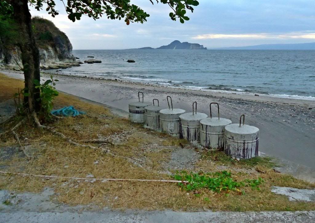 X324—On this visit and fots2 also we noticed some new buoys were anchored off the south shore at Bottomside. Were these clumps used as anchors? 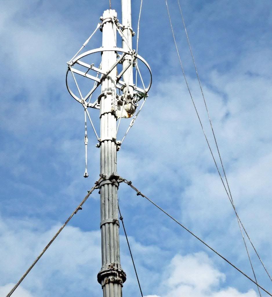 X325—Close-up of the old Spanish Flagpole, it seems it might need some attention with those turnbuckles. 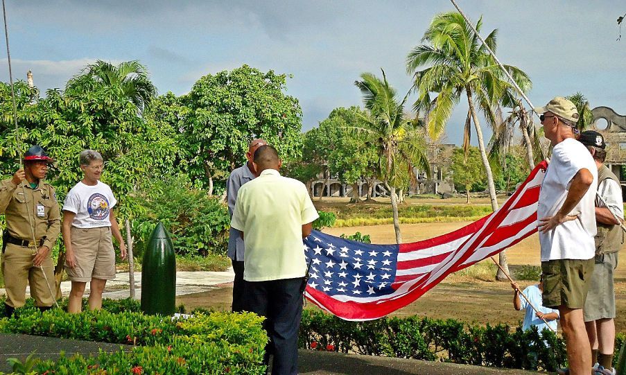 X326-- The team: security guard, Marcia Kwiecinski (C.I. resident), Mr. Ron Benadero (resident OIC), security supervisor, Steven Kwiecinski C.I. resident and Paul Whitman (web master corregidor.org 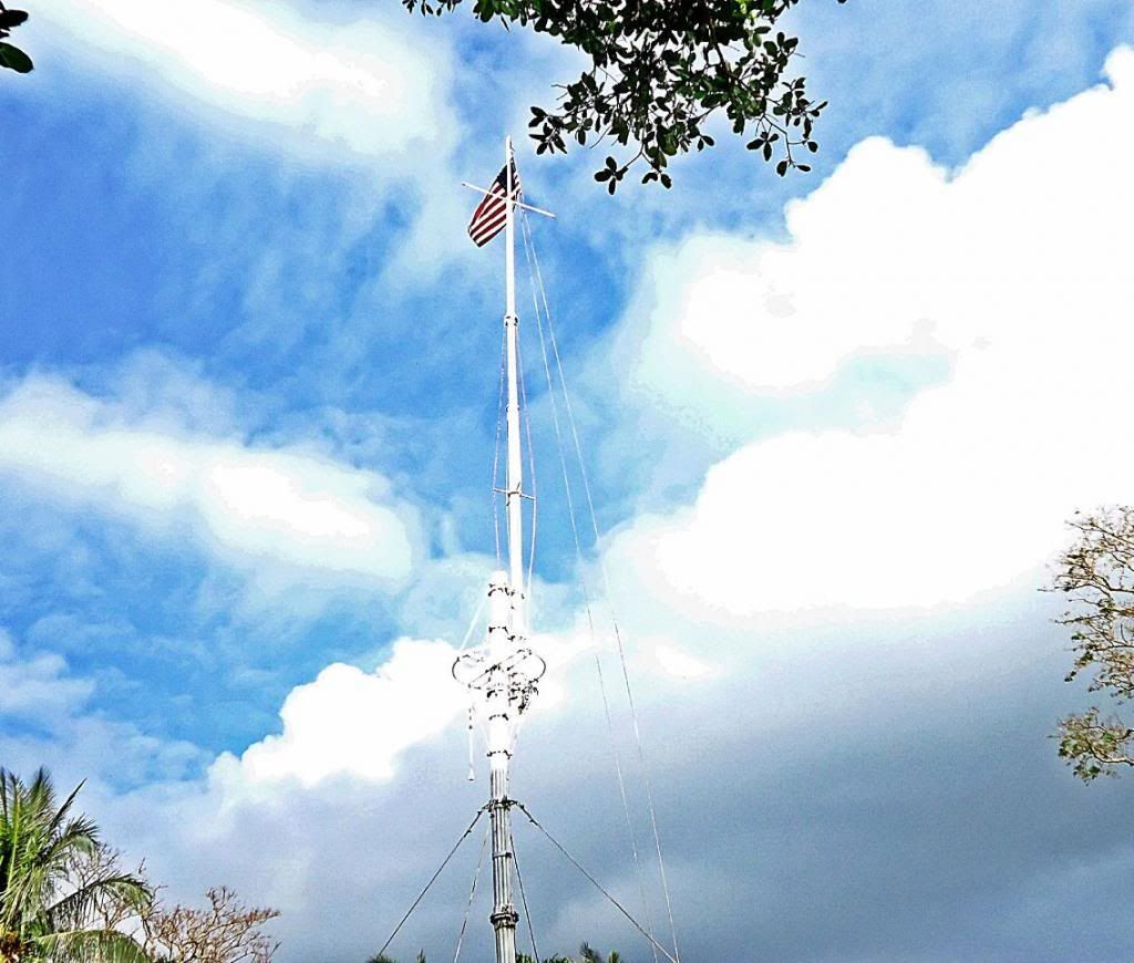 X327-- The US Colors are raised in memory of the anniversary of the 1st day of Liberation for the ex Fort Mills, by the American Forces on that day in 1945. Paratroopers climbed a pole that day, nearby, under fire, and raised the US Flag. 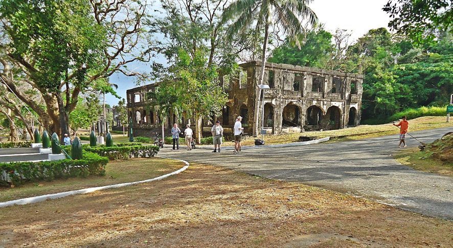 X328-- The flag is raised and will stay there during the day; we are standing back and enjoy the grand view of Topside, the Parade Ground on Corregidor Island. The building in back is the ex Ft. Mills HQ. 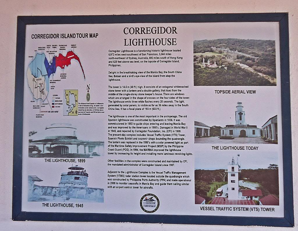  X229-- Another of the new information signs, plaques, and this one is located at the subject’s site. The thumbnail should give you a better copy! 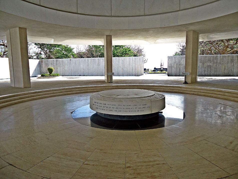 X330-- The main portion of the Pacific War Memorial, Topside, Corregidor Island. 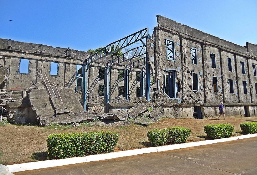 X331-- The cine Topside, Corregidor Island with its new steel reinforcement installed. 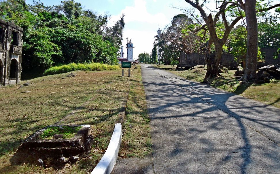 X332-- The road to the Corregidor Lighthouse from the old Spanish Flag Pole. 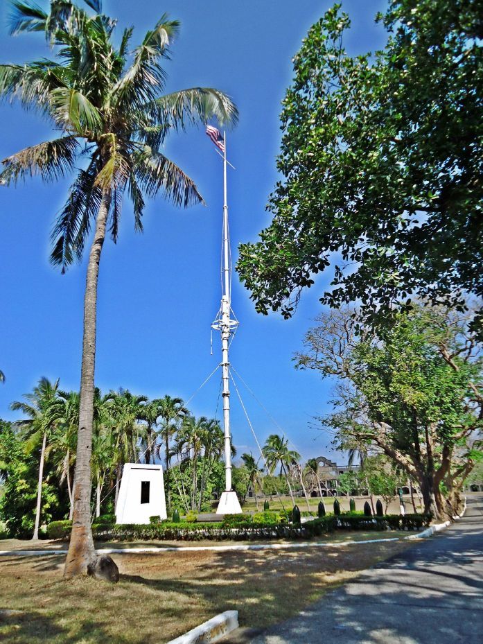 X333-- The US Colors are raised in memory of the anniversary of the 1st day of Liberation for the ex Fort Mills, by the American Forces on that day in 1945. Paratroopers climbed a pole that day, nearby, under fire, and raised the US Flag. The old Spanish Flagpole that came off one of the Spanish ships that Admiral Dewey sunk in Manila Bay. |
|
|
|
Post by Karl Welteke on Jun 9, 2014 14:36:11 GMT 8
FLAG RAISING ON CORREGIDOR IN MEMORY OF FIRST DAY OF LIBERATION 1945 FEB. 16 Corregidor Visit 2014 Feb. 15th to 17th. Third Segment of Three THIS SEGMENT INCLUDES TWO DIFFERENT STORIES HOW THE JAPANESE CEMETERY AT THE LOCATION OF THE PRESENT JAPANESE PEACE GARDEN WAS DISCOVERED. DRAW YOUR OWN CONCLUSION!!!! As a tradition, the Corregidor Foundation Inc. (CFI), the Corregidor resident American Couple Kwiecinski, the Australian webmaster of the famous corregidor.org web pages, Paul Whitman, join up every February 16th and raise the American Flag on the old Spanish Flagpole Topside. This is in memory of the anniversary of the 1st day of Liberation for the ex Fort Mills, Corregidor Island, by the American Forces on that day in 1945. Paratroopers climbed a pole that day, nearby, under fire, and raised the US Flag. Whenever I can I join in and this time brought my German family friend. An album was established from that visit 2014 Feb. 15 to 17 with 59 images and here it is: tinyurl.com/kjmh5yu In the album larger and higher resolution copies are available! This is the 3rd segment of some sample pictures of this visit in this forum: The thumbnail icons should open as a bigger, better readable copy. 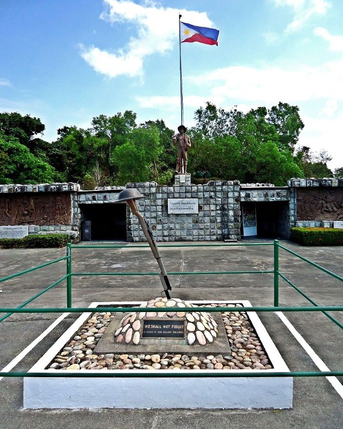 Z338-- Portion of the area that was known as Water Tower Hill has become the Philippine Heroes Memorial. Here at this spot was heavy close combat between the forces both in 1942 & 1945. 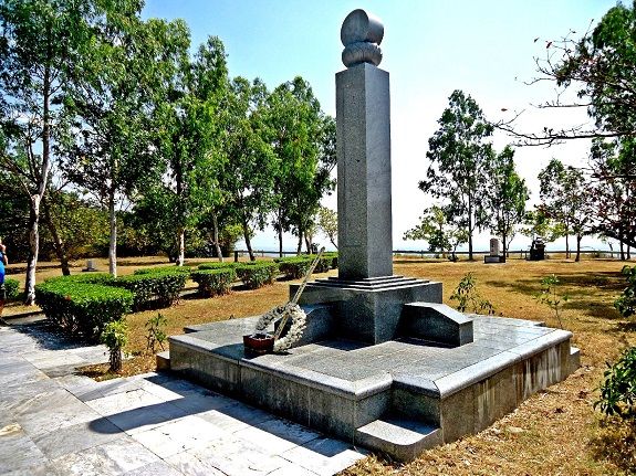 Z339-- Just below and south of the Philippine Heroes Memorial is the Japanese Peace Garden. 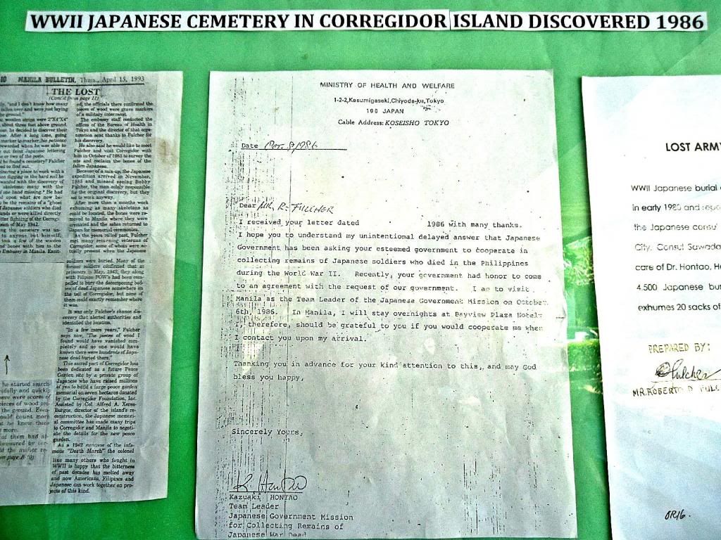 Z340-- At the Japanese Peace Garden are several information displays. On this visit I concentrated on this one, called: WWII Japanese Cemetery in Corregidor, Discovered 1986. THE INFORMATION HERE DIFFERS CONSIDERABLE WITH another display at the museum of the Pacific War Memorial, Topside on Corregidor. That information is presented with the last two images in this segment. 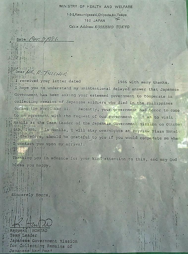 Z341-- A letter from the Japanese Government, dated Oct 8th 1986, to Mr. Fulcher re the discovery of the Japanese Cemetery on Corregidor.  Z342—An undated but signed statement by Mr. Roberto Fulcher about the Japanese cemetery discovery also noted and signed by Col. A. G. Matibag. 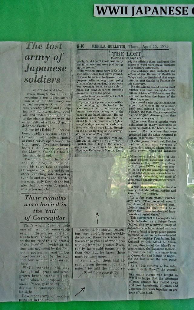  Z343-- A Manila Bulletin article about the discovery of the Japanese Cemetery on Corregidor, dated 1993 April 15th. In this article it says at one place: “Skeletons found with bones of one hand missing”. In view that the Japanese cremated their fallen, especially in 1942 when they had the opportunity it makes that story in the paper or what Mr. Fulcher said a Make-Up Story. There are some other unbelievable lines in the story. Anyway, in the museum at Topside is the information of the last two images in this segment posted which presents a different story. 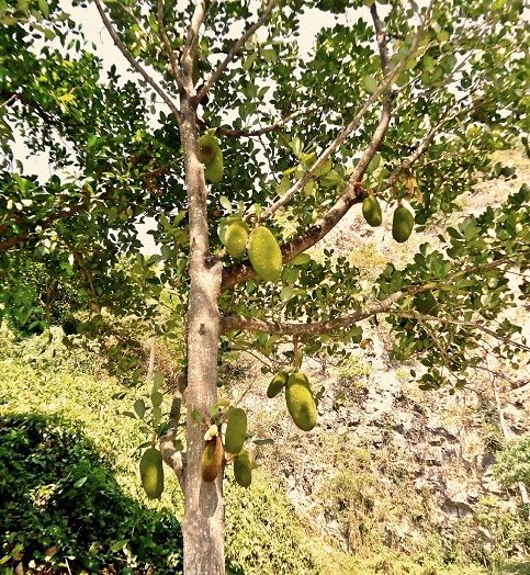 Z344—Cotary to popular believe, once awhile I do take pictures of plants and people. Here is a Jackfruit tree near Malinta Hill on Corregidor. 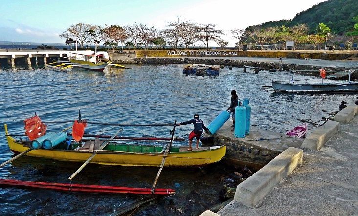 Z345-- How would you like to do this job; we are not generally that agile. These must be Corregidor Inn LPG tanks, to be taken to Bataan for full ones. 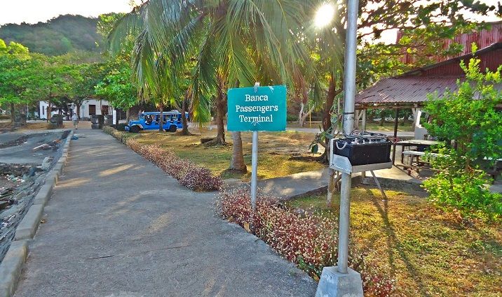 Z346-- 2014-02-17 the formal Banca (boat) Passenger Terminal on Corregidor, north shore, Bottomside. Paul Whitman is approaching, we are ready to leave. 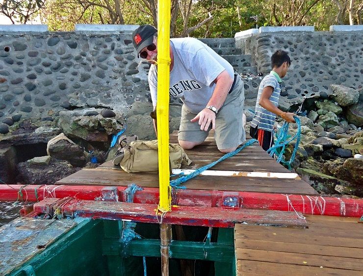 Z347-- 2014-02-17. Getting on and off these outrigger boats is not always easy, right Paul? 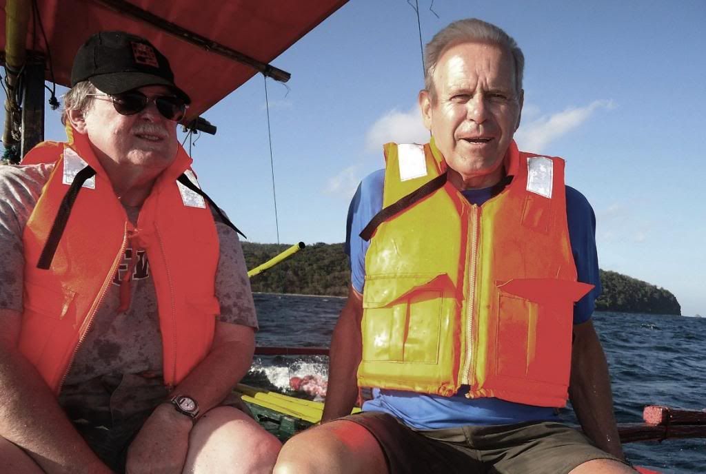 Z348-- 2014-02-17. Another nice visit to Corregidor, this time to remember the Rock Force who recaptured –The Rock-- 69 years ago. Paul Whitman left and Harald Klose right. 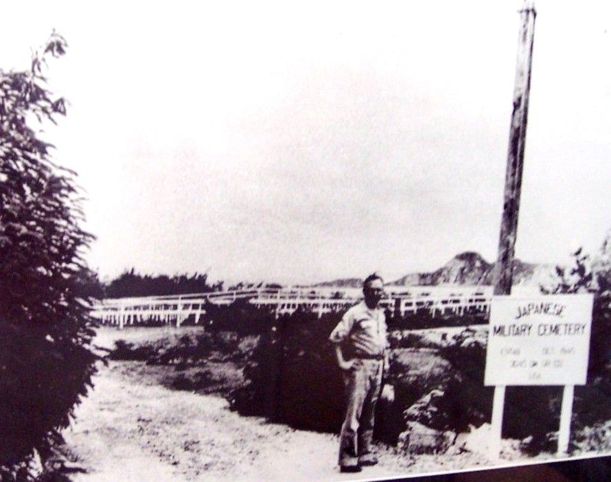 Z349—This is a 2006 picture of mine of this image that is displayed in the Museum at the Pacific War Memorial on Corregidor Island, Topside. The next picture will give the description! 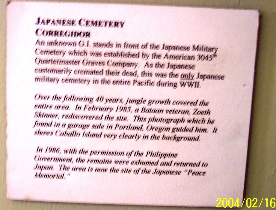 Z250—The description to the previous image; it is posted under or next the previous image on the wall, in the museum of the Pacific War Memorial. It offers a more likely story about the discovery of the 1945 Japanese Cemetery at the location of the present Japanese Pease Garden/Memorial. |
|
|
|
Post by The Phantom on Jun 11, 2014 4:53:02 GMT 8
Well done as always Karl,
Your photos, tied to maps with location descriptions, give those who have never had the opportunity to travel to Corregidor, an insiders view of what's newn and what's left to see and explore on Historic Corregidor.
Revisited the entire thread and enjoyed the trip again!
|
|
|
|
Post by Karl Welteke on Sept 15, 2014 15:10:15 GMT 8
CORREGIDOR CDSG VISIT LAST DAY 2014-03-04 The Coastal Defense Study Group (CDSG) people visit the Manila Bay Coastal Defense Forts every few years. I enjoy meeting up with them to explore the Manila Bay Harbor Defense Forts. As usual I take a lot of pictures and have not shared most of them. I finally got my but in gear again and share another album here with the CDSG. This was the last day and not all of them went, because we were all getting tired and today’s schedule was going to be difficult. They hired a big and small Corregidor boat. First we visited Battery Monja. It takes a lot of bolo work to get up there and thru bushes in front of the entrance. Then we landed under Battery Cushing and first visited that battery, VIII F-2 Defense Position and Searchlight # 6. Most of us were pooped and only few tough ones had the energy to climb onto Searchlight Point and struggle to Searchlight #5. We returned and most of us called it day; a few used the afternoon to look at other location all over the island. In the evening the leader of the CDSG had arranged a feast at MacArthur Café. The two outsiders, Martyn, the map maker and I were invited and enjoyed a final evening of comradeship with Coasties, as I call them. I did not take many pictures on this day because I have enough images of these locations we are visiting today. There are only 25 images in the album and describe today’s activities rather than the locations. tinyurl.com/ogj7pq5Here are 10 sample image, the pictures in the album are bigger: 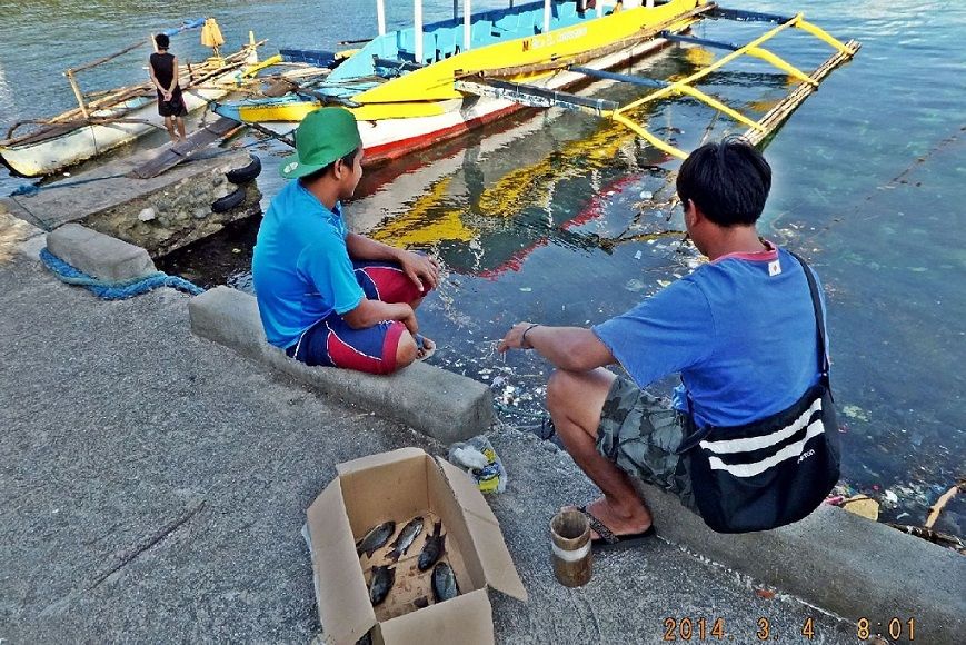 Y61--- The big Corregidor boat is ready to take us on board, some local residents pulled in these fishes pretty successful. Not a bad catch for a short period of fishing. 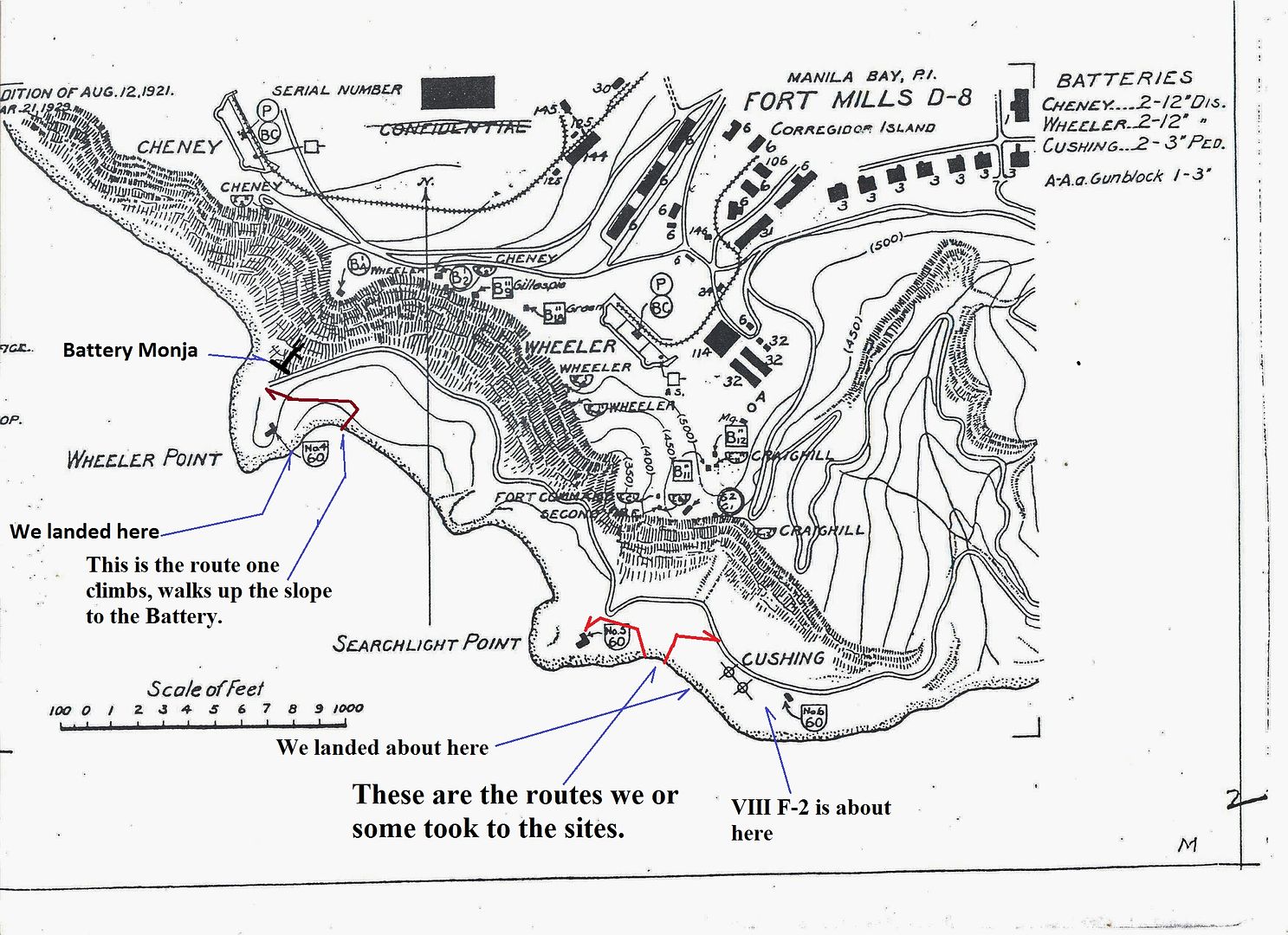 Y62--- This map of the area of the three points on the SW corner of Corregidor covers the activities of the CDSG visitors on their last full day on Corregidor. 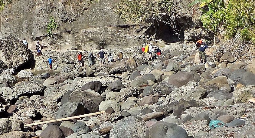 Y63--- Because we used the big boat and landed next to the actual point we were able to get ashore with relative ease. From this point we will continue up to Battery Monja. 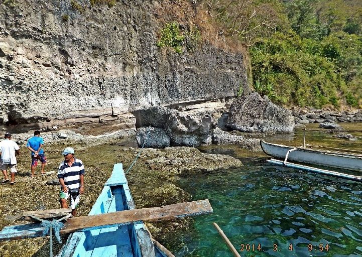 Y64--- View of the big Corregidor boat along Wheeler Point on Corregidor Island.  Y65--- This is VIII F-2 dense position; most of it has tumbled down to the beach, these were steps to it. 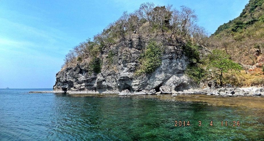 Y66--- This is Searchlight Point from the south, Search light No. 5 is at this side. Monja Island is in the distance at left. Up there is that Dutch Fellow near Searchlight No. 5. He has visited Corregidor several times with the CDSG organization and he is a Go-Getter. 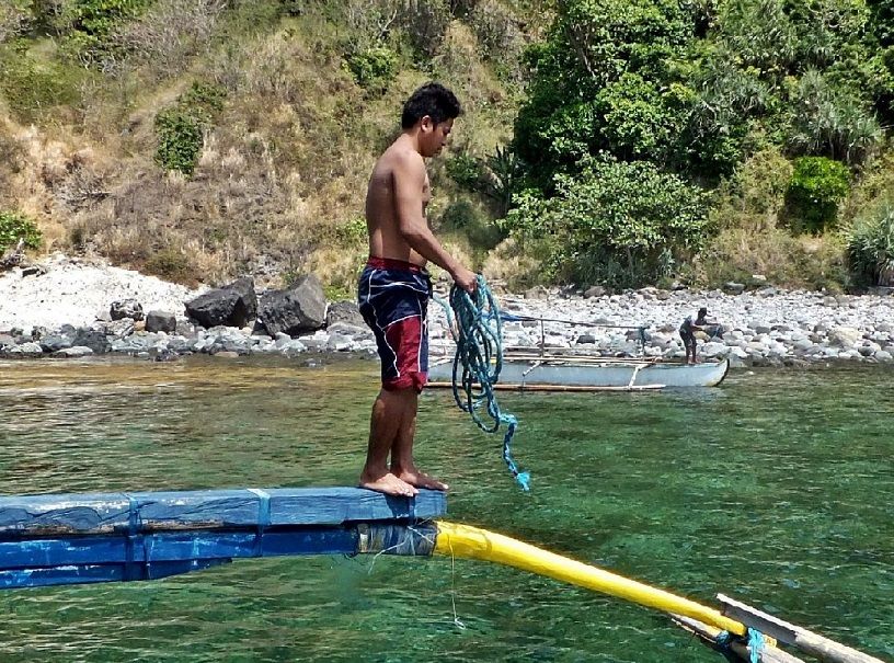 Y67--- At this landing under Battery Cushing the big boat did not make a landing, we would have gotten wet. The small boat ferried us. 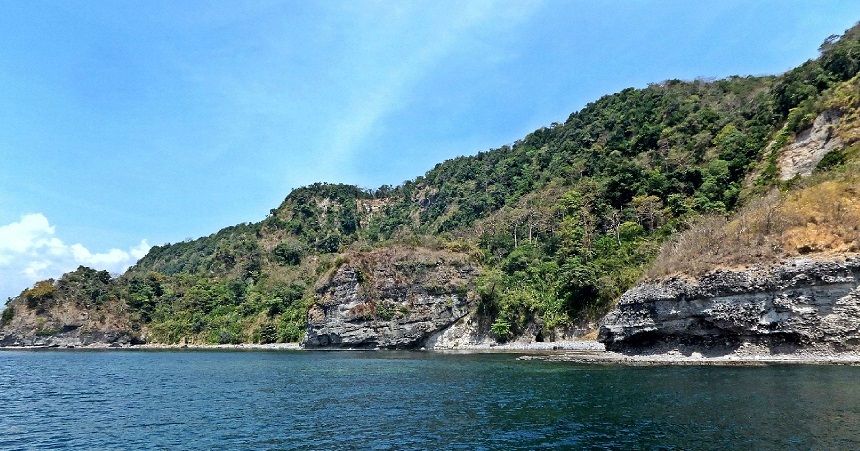 Y68--- These are the triple points on the SW coast of Corregidor; from left to right, Wheeler Point, No-Name Point and Searchlight Point. These points are hard to get to. 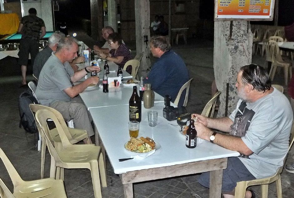 Y69--- The leader of the CDSG visitors asked the MacArthur Cafe to prepare a Philippine Style feast meal and with their limited recourses the staff of the cafe done a great job. Martyn, the map maker, and I were invited and we were sitting at the end of this table. We enjoyed the meal and the company. 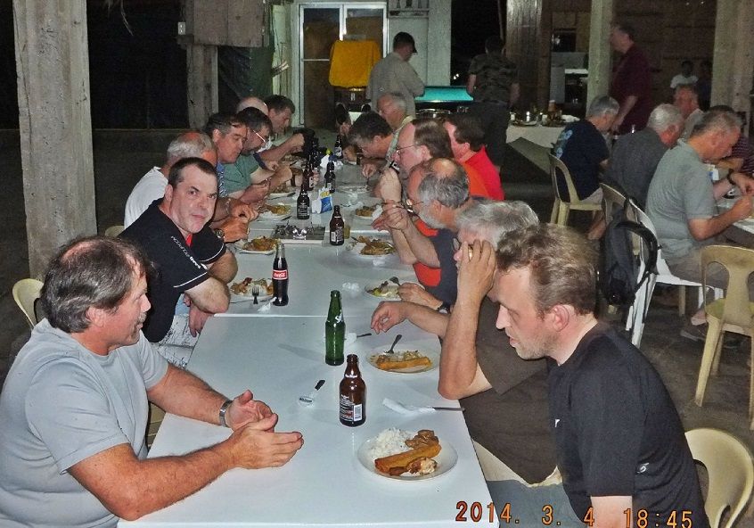 Y70---The Coastal Defense Study Group (CDSG) visitors were a large group again and I enjoy their company greatly. I am always looking forward to their visits every so many years. |
|