1st Day, Monday, 14th Feb. 2022, Landing Area
First Day, Monday the 14th Feb. 2022. On this first day we tried to cover the north shoreline where the Japanese landed.
This is a report, diary, of a 4 day visit to the former Fort Mills on Corregidor Island to commemorate the raising of the First Flag (16th Feb. 1942) on Corregidor by the Rock Force, the Paratroopers in particular, after the surrender of the Philippines to the invading Imperial Japanese Military in 1942.
All 62 images have been uploaded to this Photobucket Album:
app.photobucket.com/u/PI-Sailor/a/c0c0b484-db18-4808-a26a-a2639d13002aThis forum presentation has only 27 images: (In the picture descriptions are reference to the number of pictures in the Photobucket album above)
.jpg?width=1920&height=1080&fit=bounds)
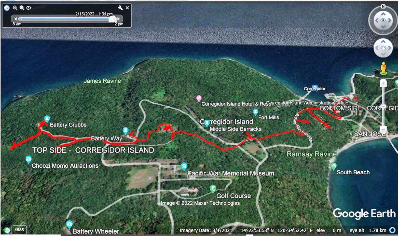
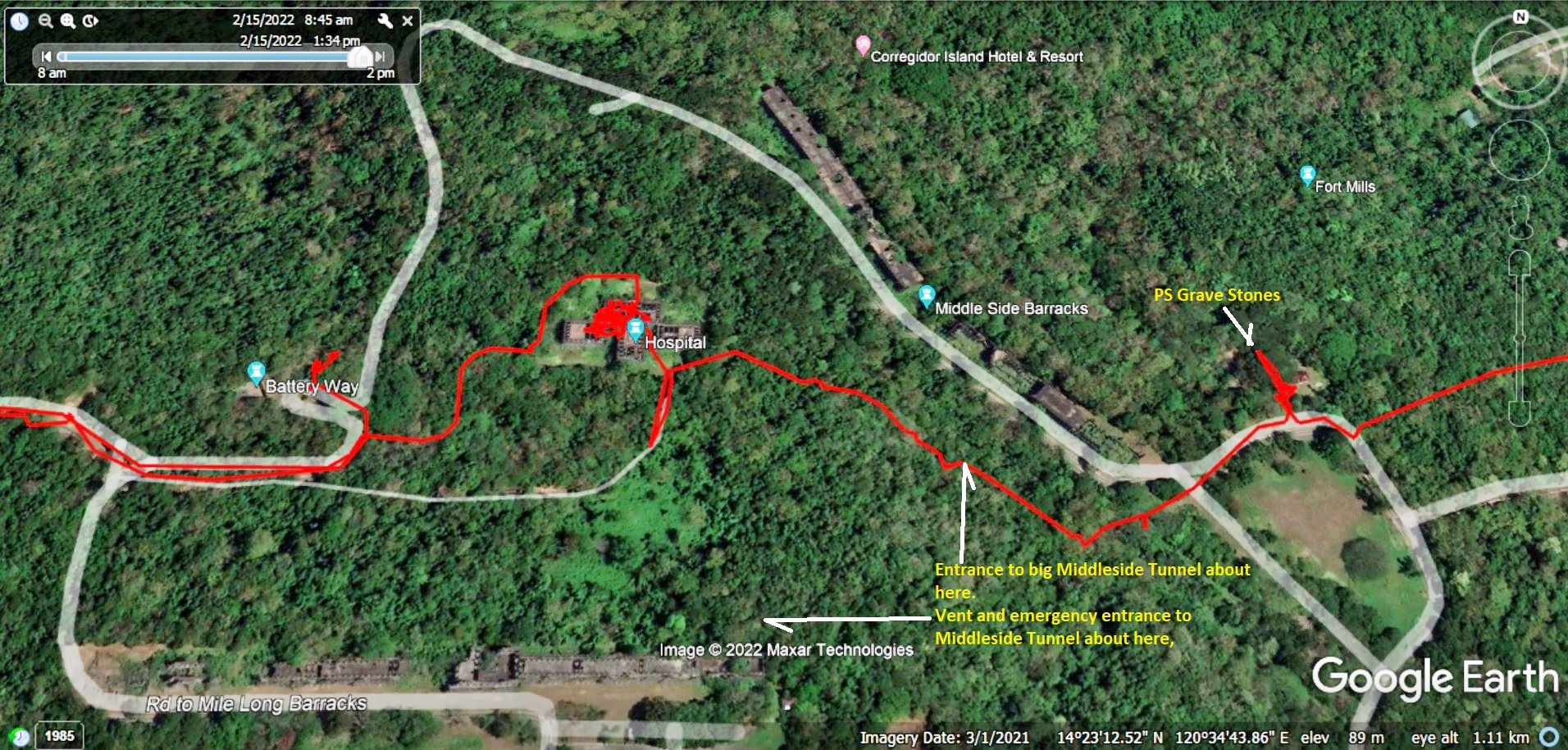
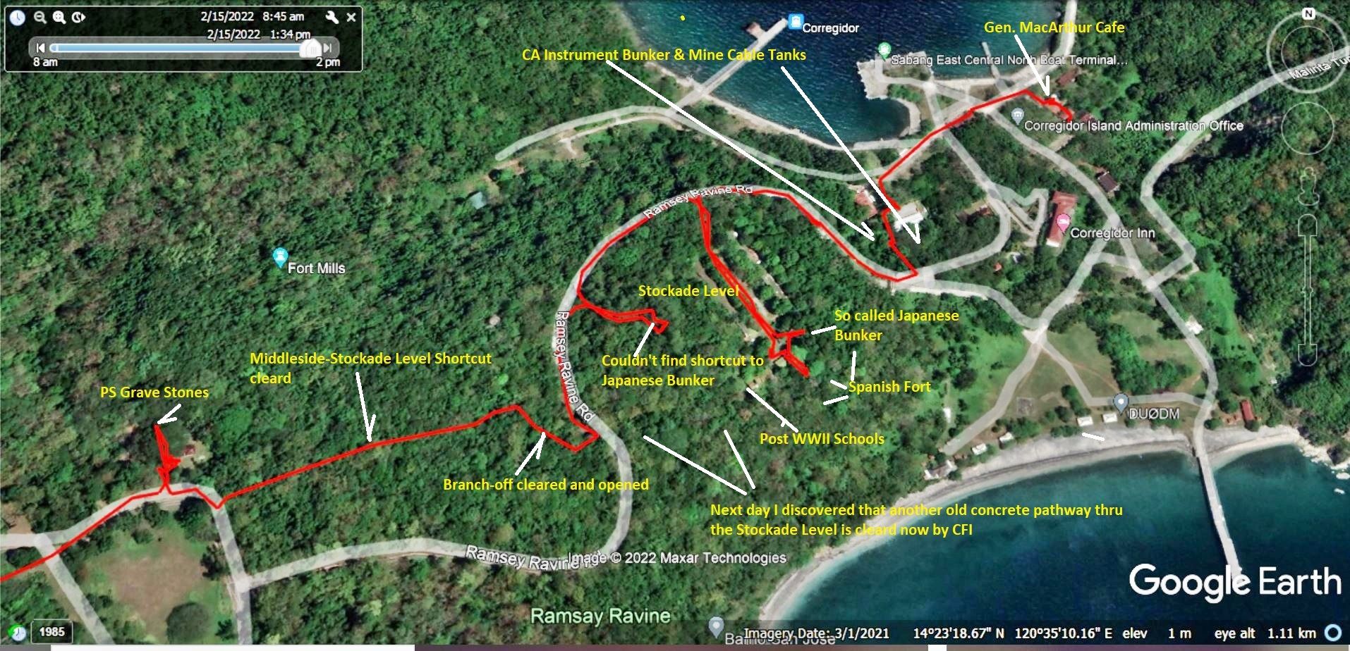
This is one of 4 images from Google Earth and my Garmin GPS account that show our GPS track of the walk and the walking data. Randy’s main interest for today was to study the area where the Japanese landed for one of his future videos in his YouTube account Pacific War Stories:
www.youtube.com/channel/UC57V3nif5jT5TBnhm4hiOiA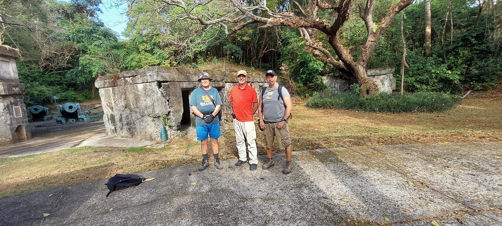
We are Mr. Gerald Randy Anderson, the creator of the Hell Ships Memorial in Subic Bay, Rhonie Dela Cruz, the owner of the Bamban Historical Society and the Bamban Museum of History and I, the retired Sailor in the Philippines.
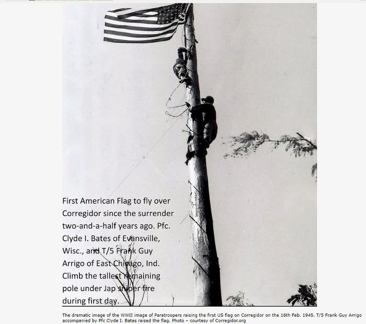
The dramatic image of the WWII image of Paratroopers raising the first US flag on Corregidor on the 16th Feb. 1945. T/5 Frank Guy Arrigo accompanied by Pfc Clyde I. Bates raised the flag. Photo – courtesy of Corregidor.org
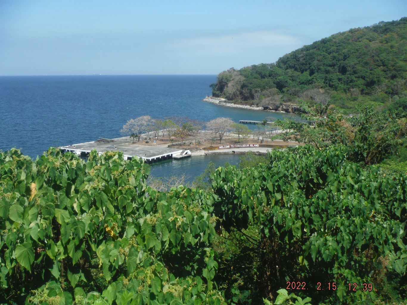
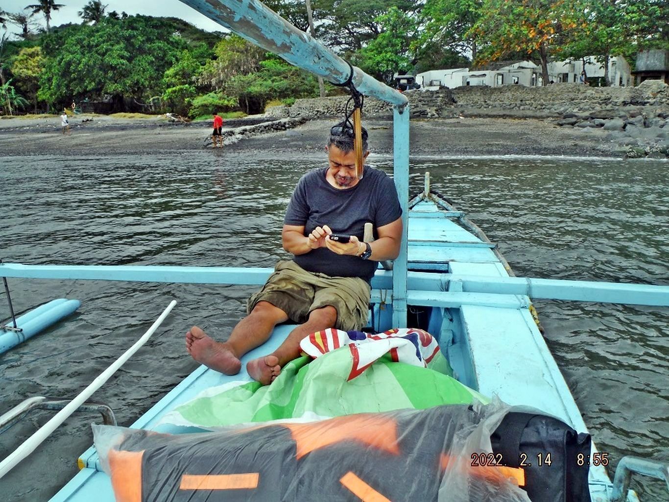
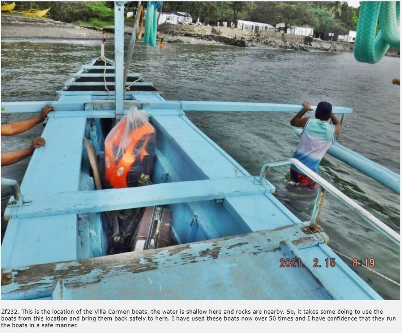
The next three (3) images have this description: This is one of 5 images of our boat travel from the Villa Carmen Beach at the SE corner of Bataan to Bataan. We are boarding the boat, cross the North Channel of the Manila Bay Entrance, see a container ship going to Manila, see Corregidor (our goal) and make our landing at the Corregidor North Dock where most boats land, coming from Bataan.
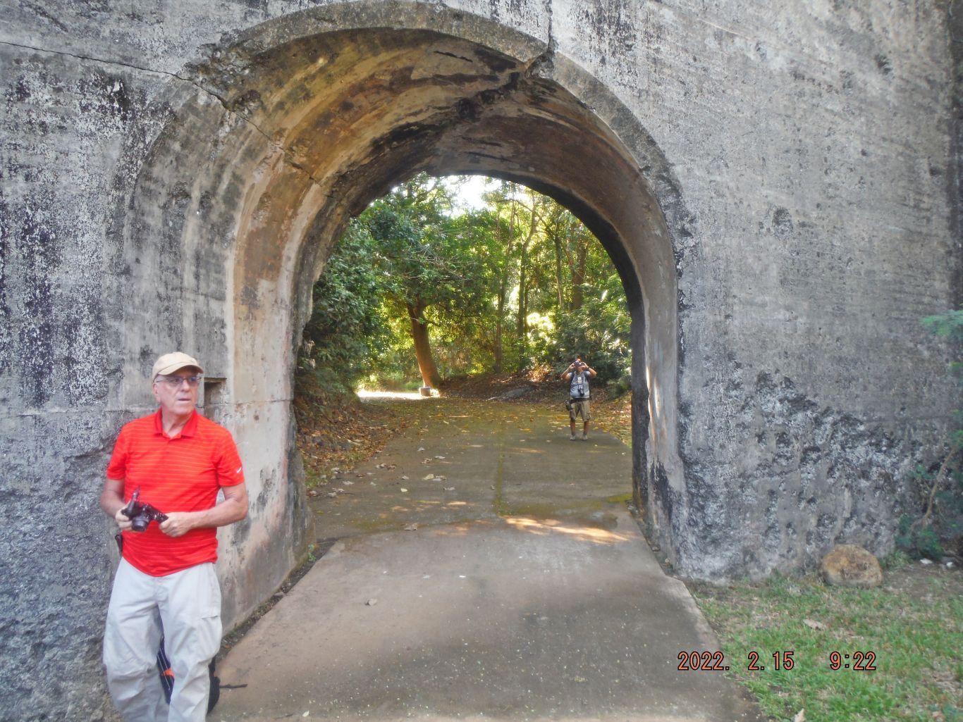
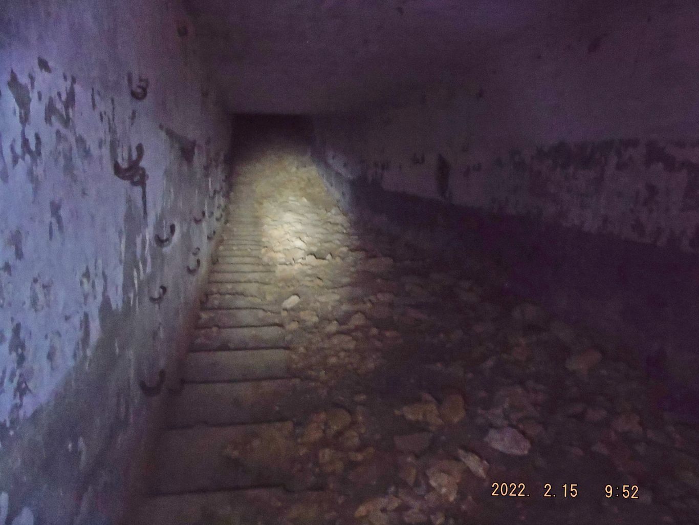
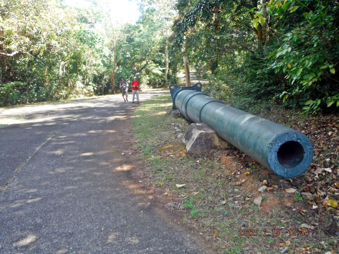
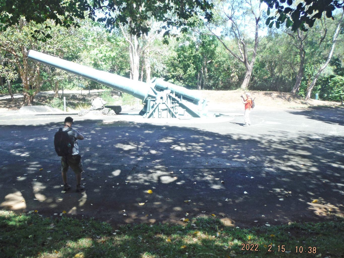
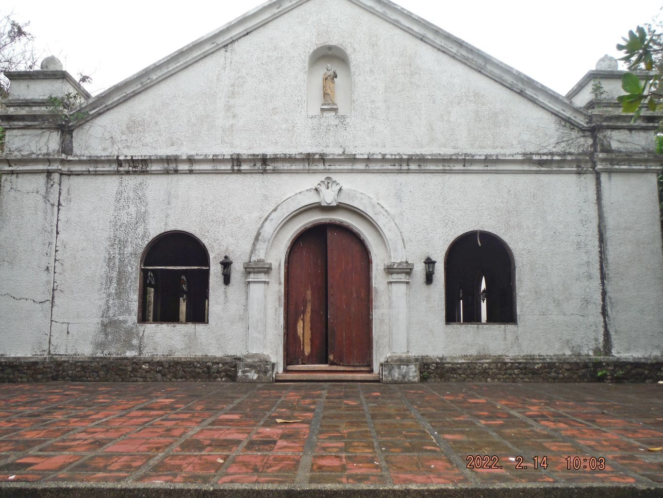
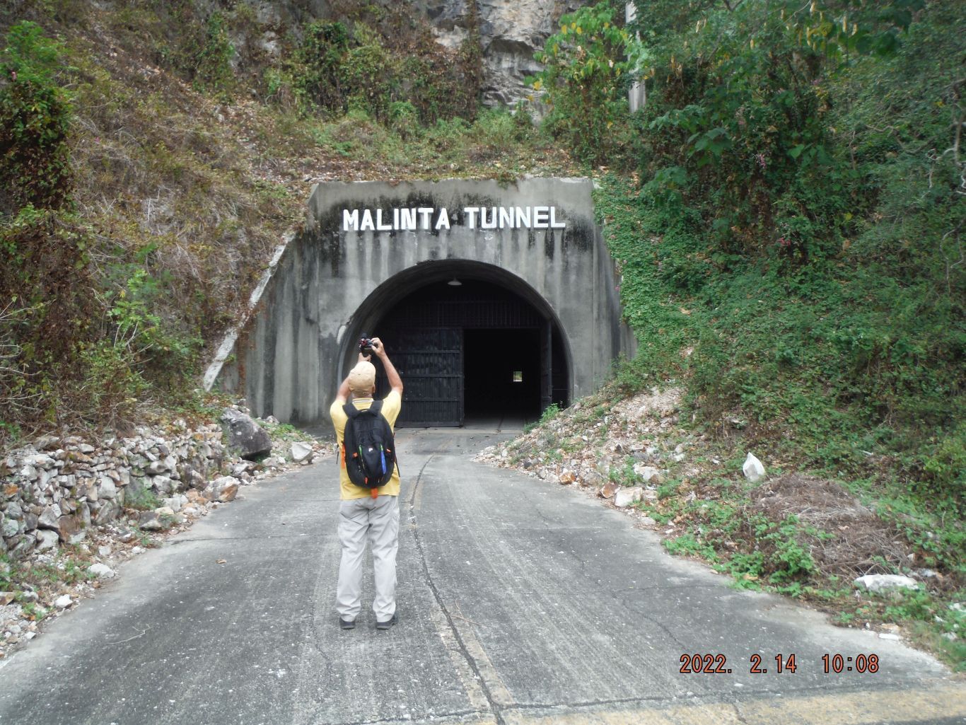
The next 3 images have this description: This is one of 4 images of our walk towards the Tailend of Corregidor Island, we stopped and had a look at the 12 Inch artillery barrel laying at Bottomside and had a look at the Corregidor Chapel. We decided to go thru the Malinta Hill Tunnel because that is an easier and more interesting walk, vice using the Northroad going around Malinta Hill. We catch it on our way back.
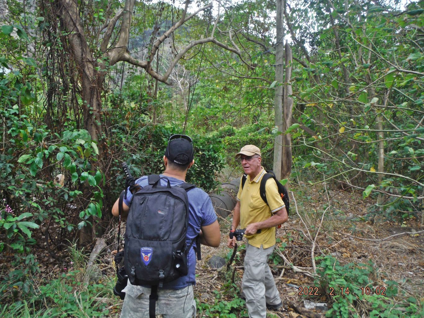
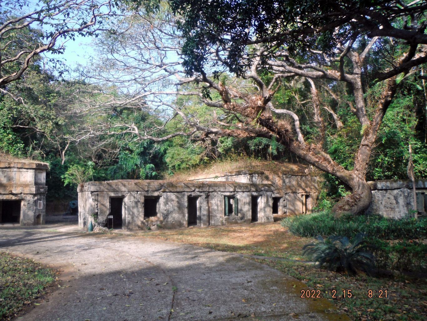
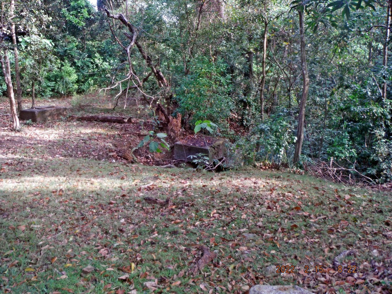
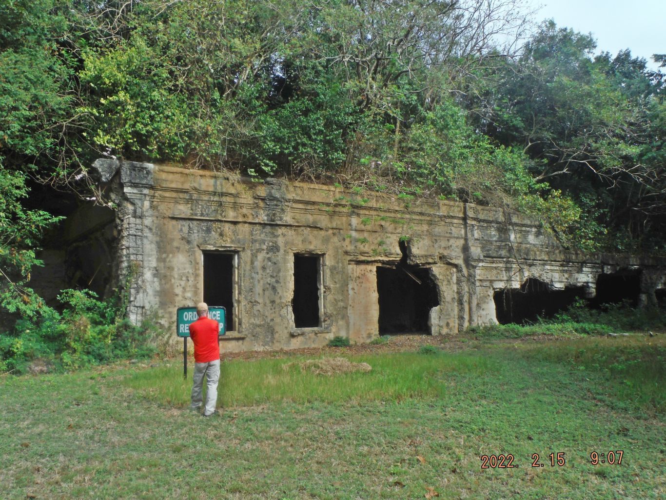
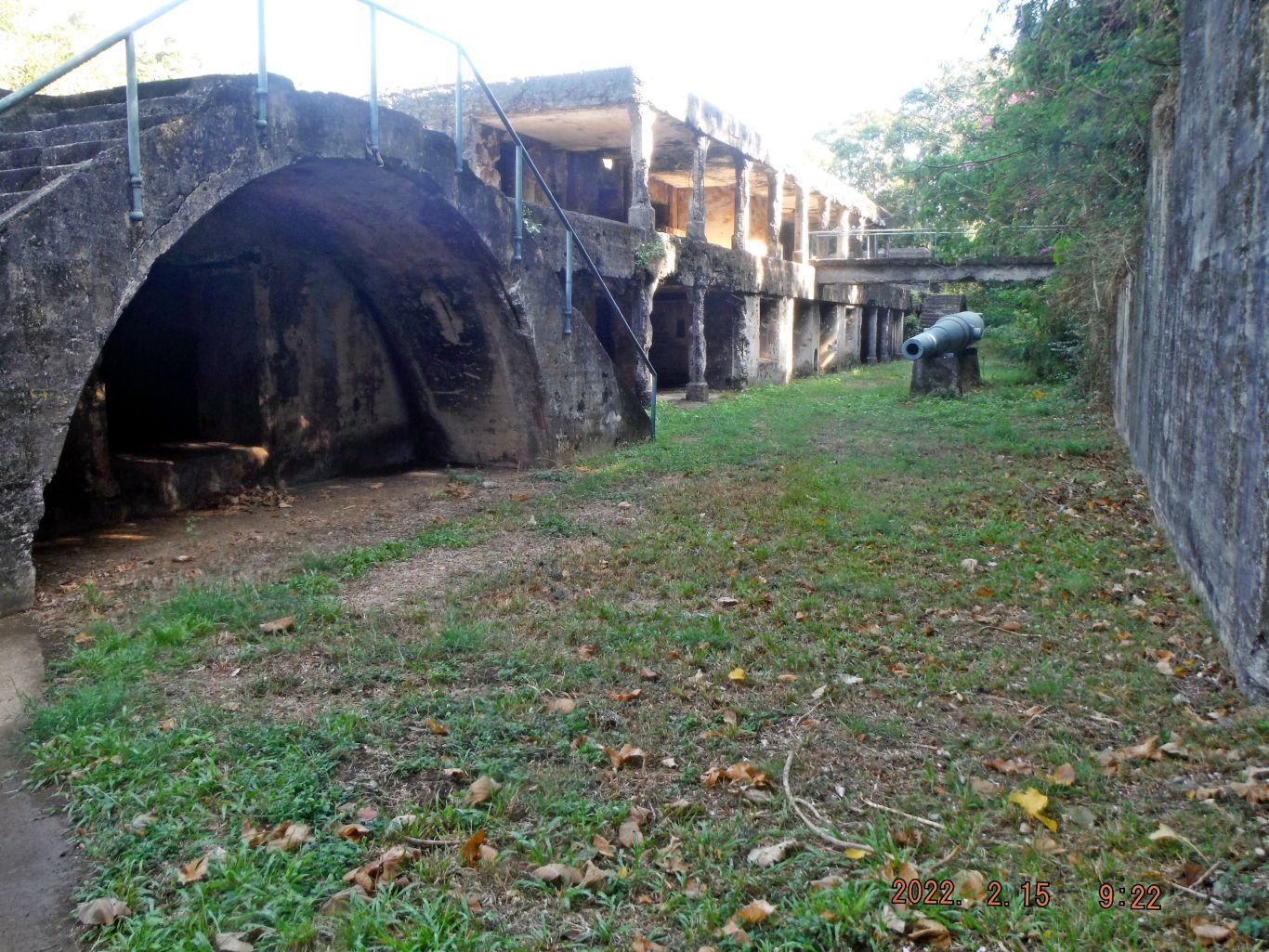
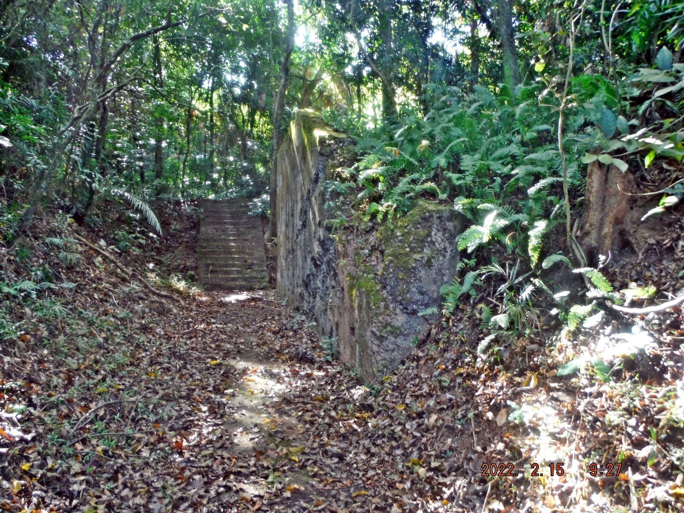
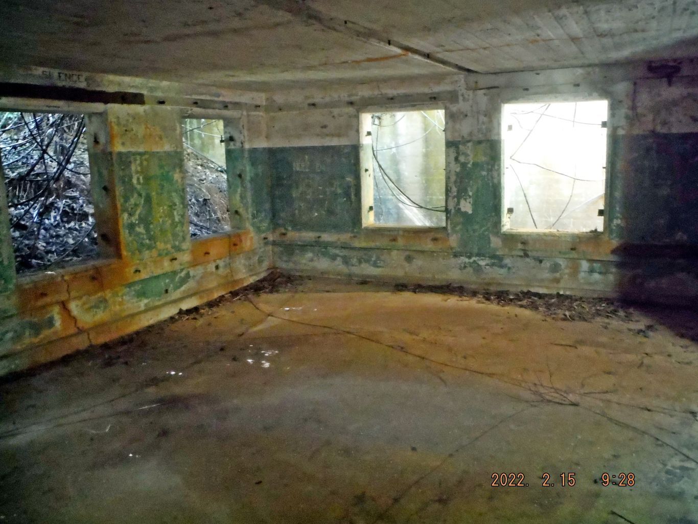
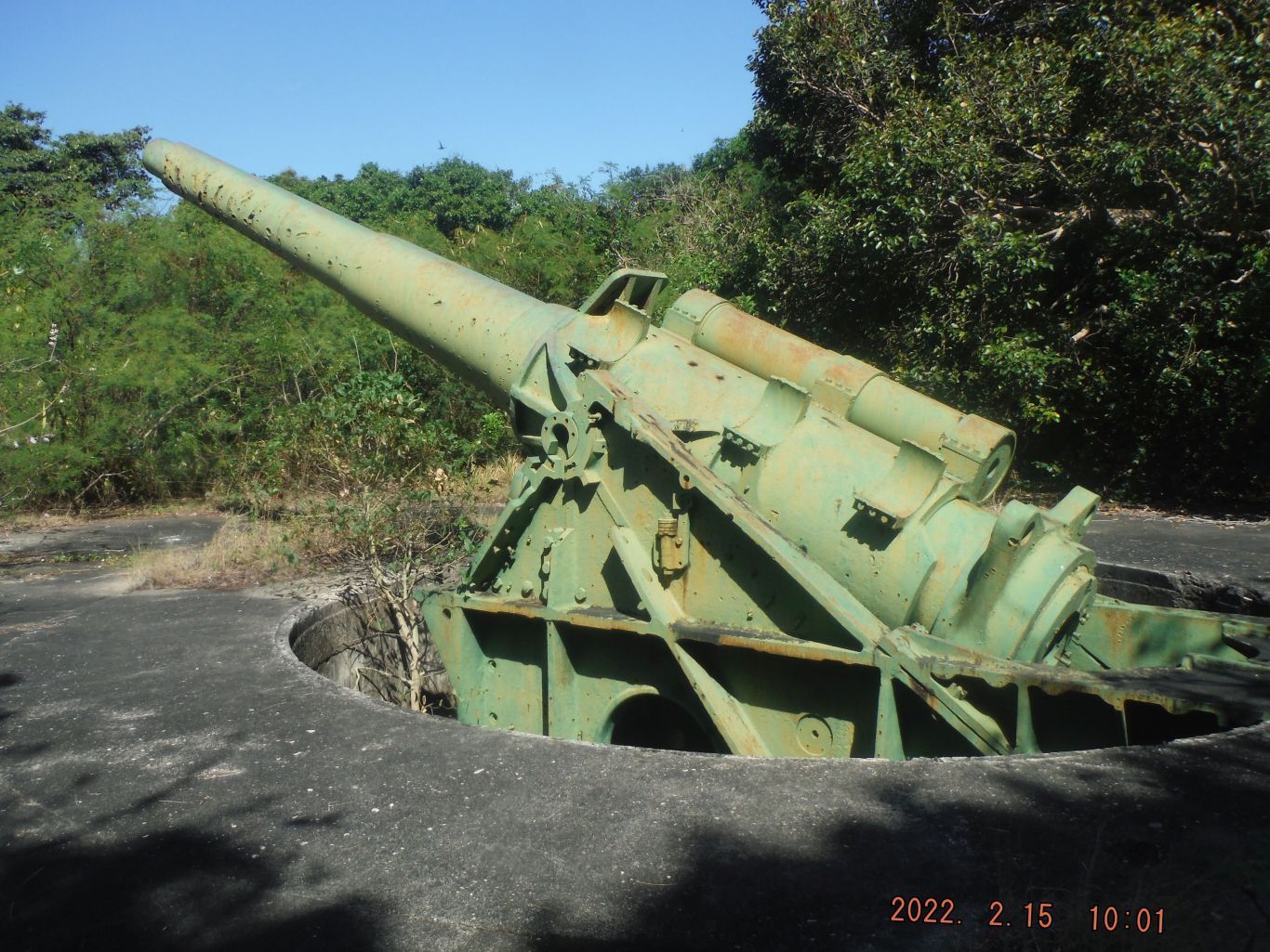
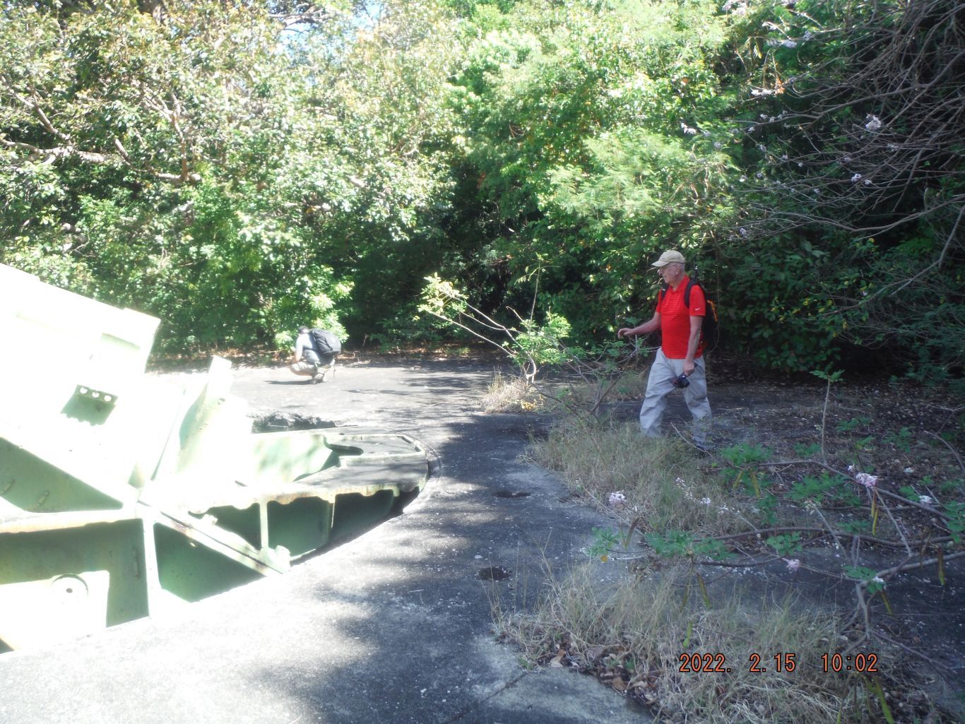
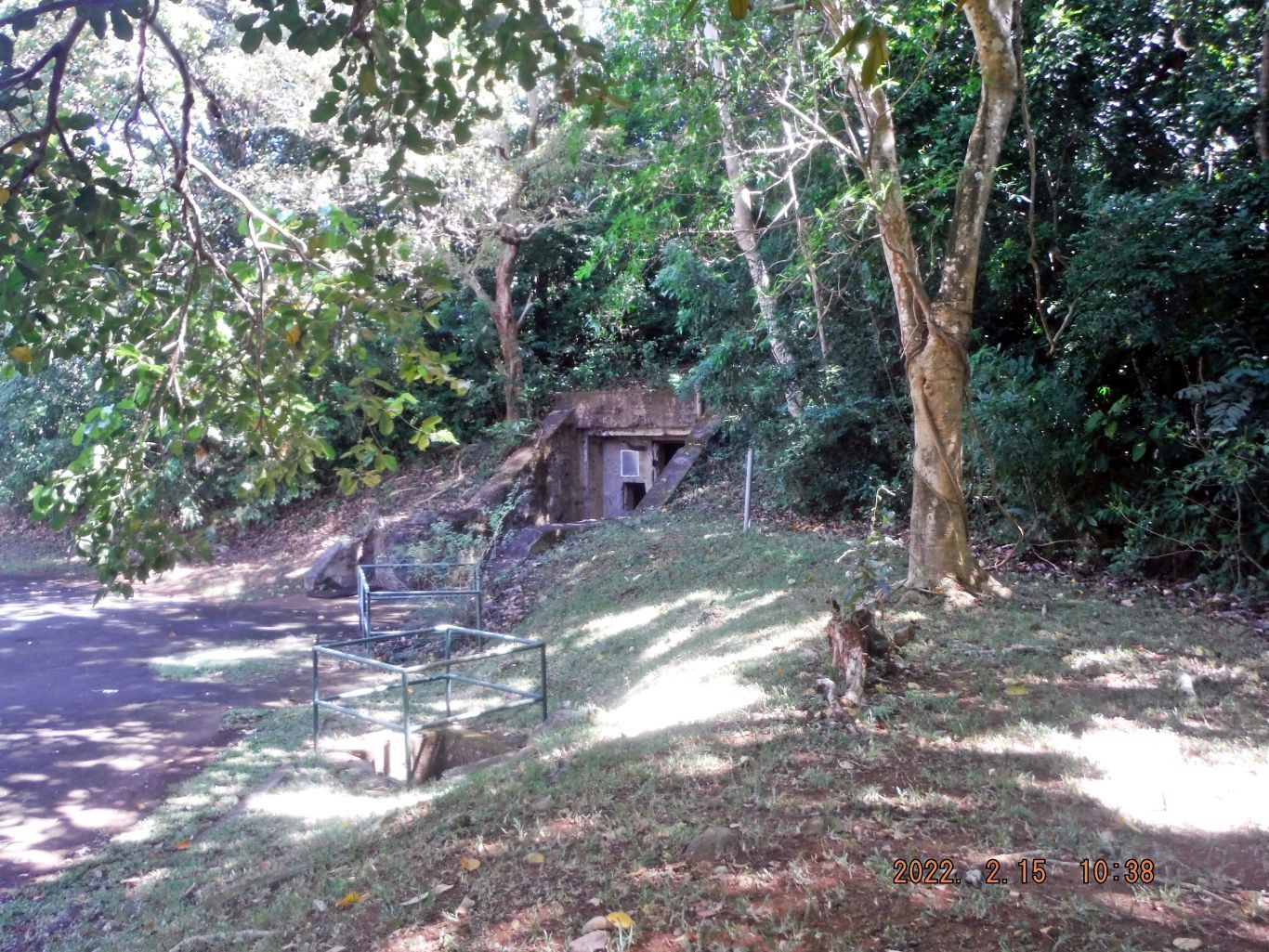
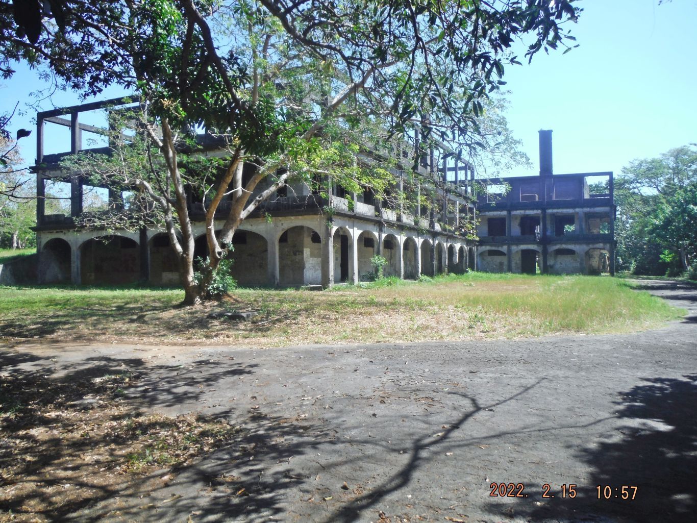
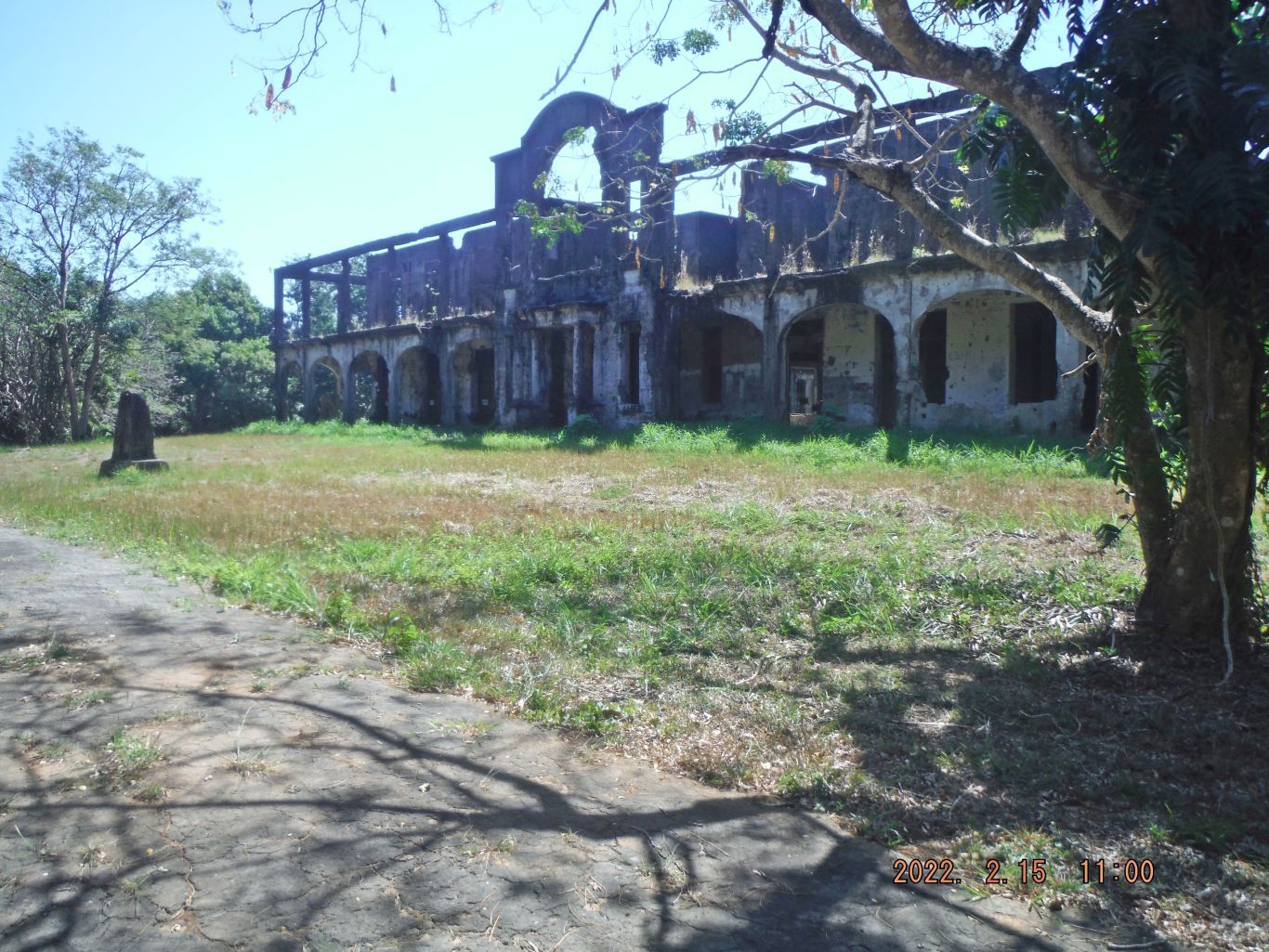
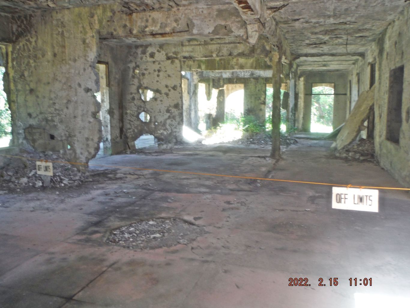
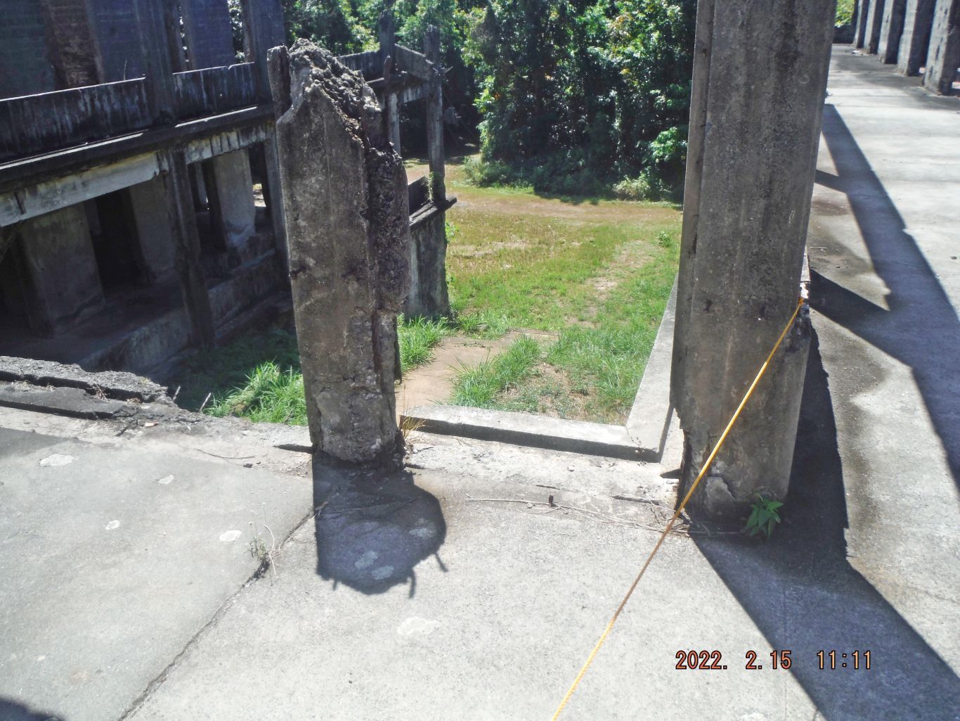
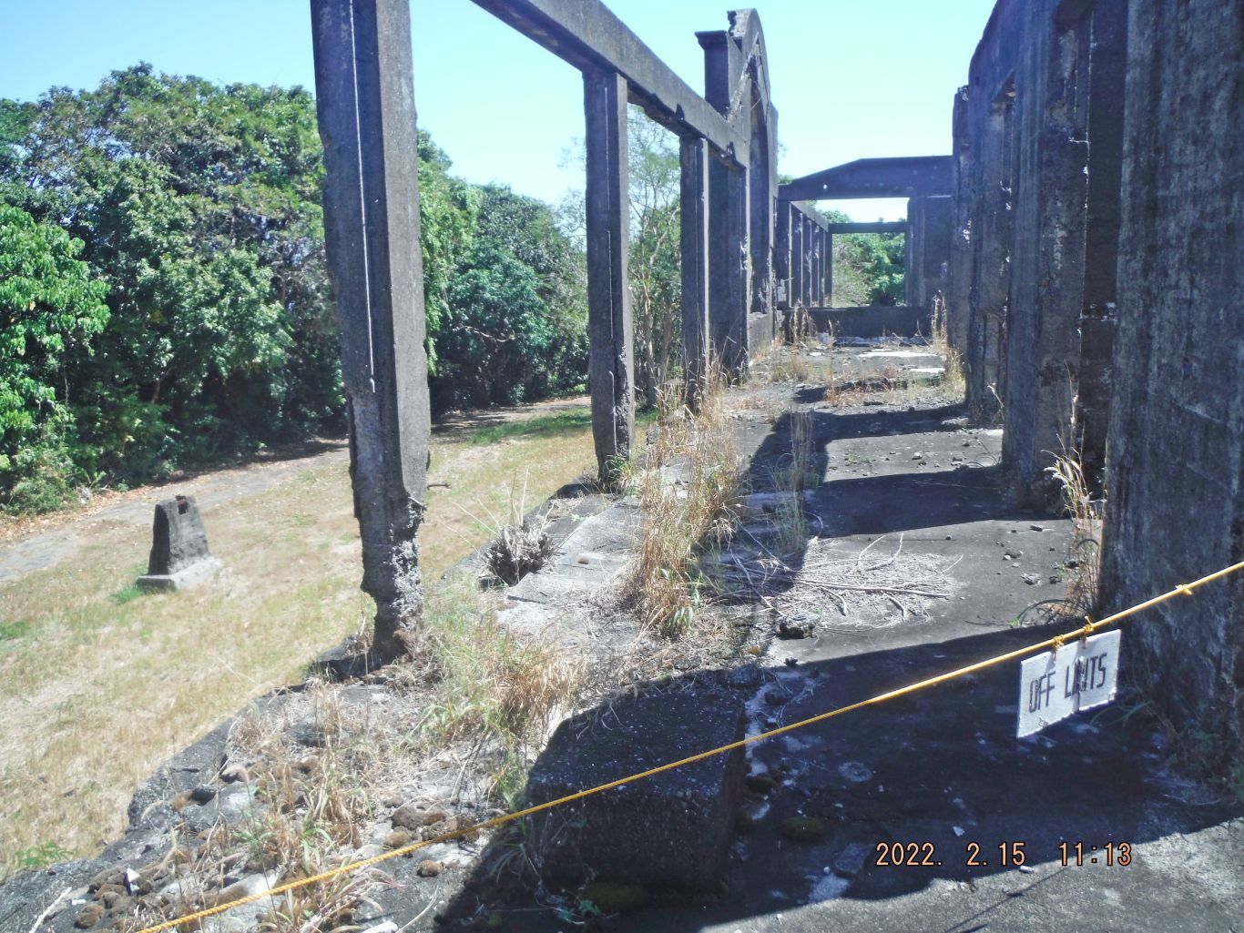
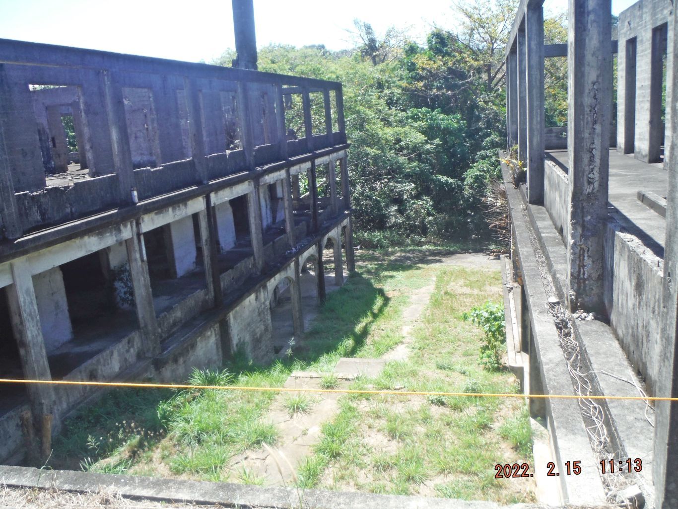
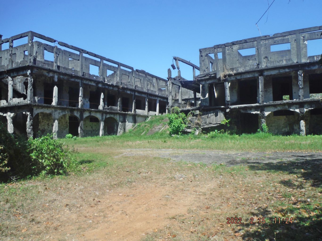
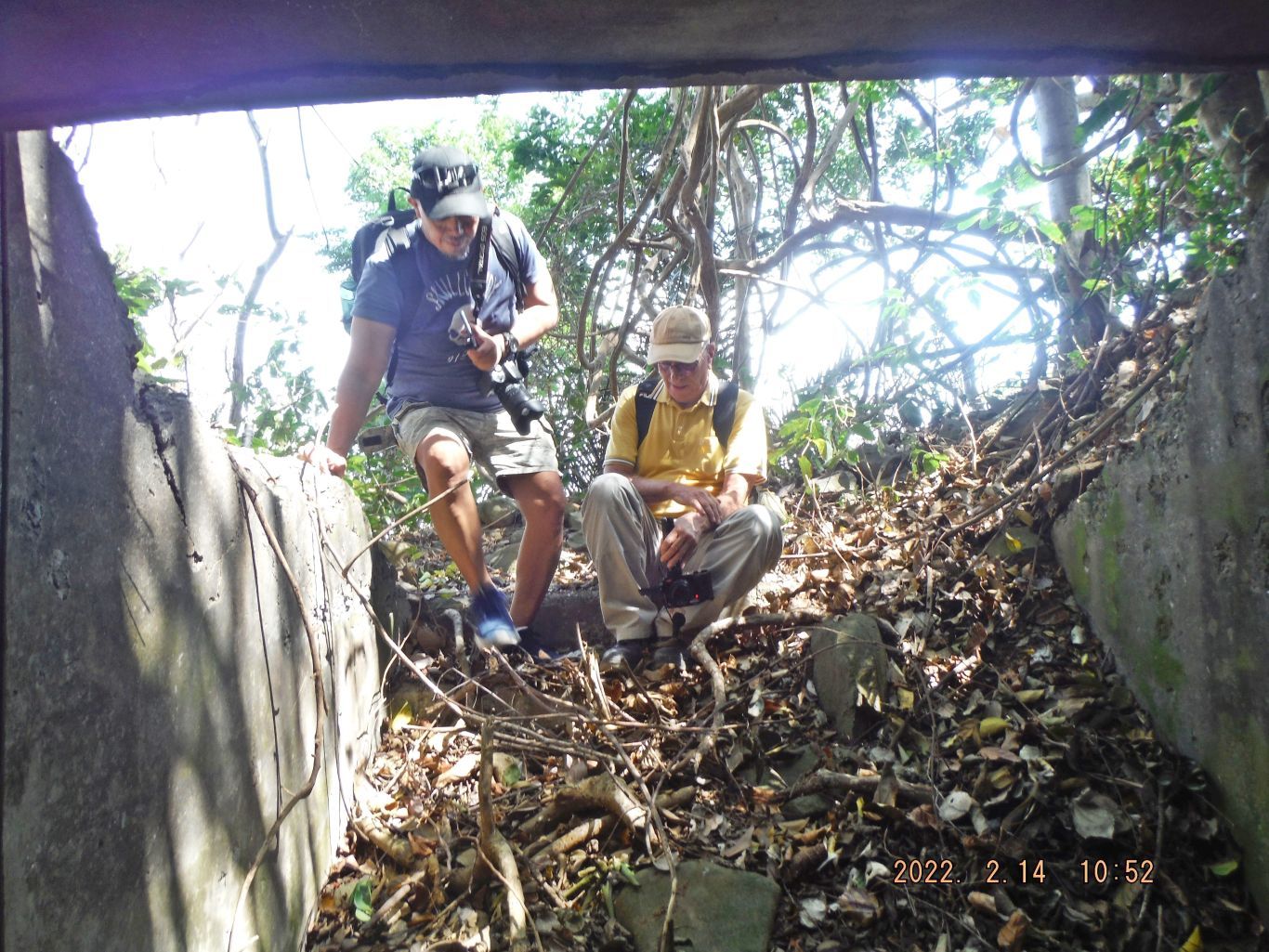
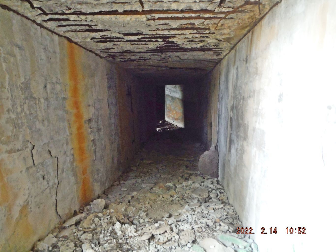
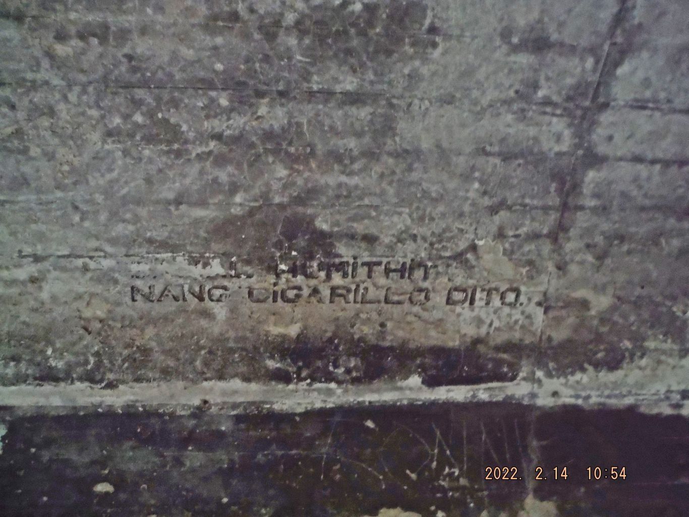
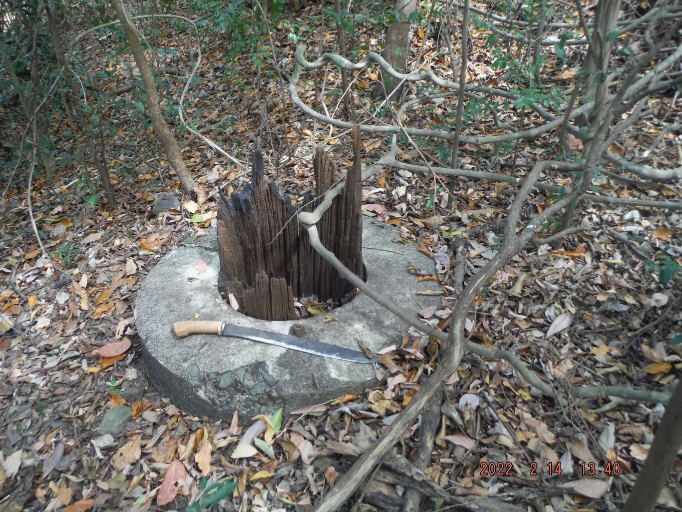
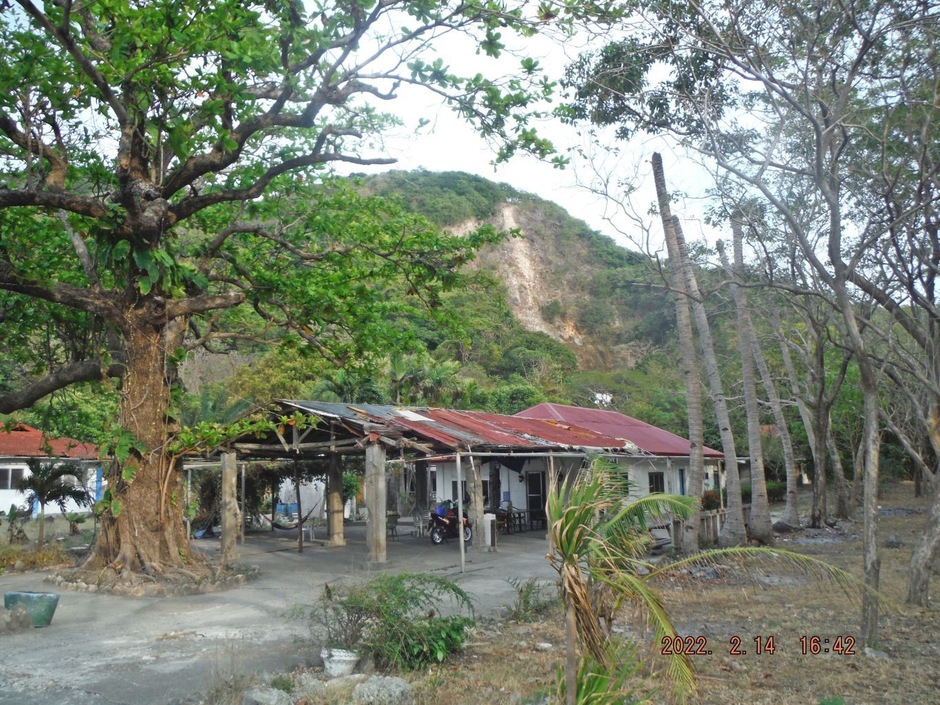
The next 3 images have this description: This is one of 4 images of a concrete Magazine near Infantry Point. The plan was to walk thru row of 6 officer houses and reach the Northshore that way, it has become more difficult to walk that way do to the growth of trees and vegetation. Then we proceeded to the east above the shoreline and had glimpses at the shoreline when we could. This area was the kingdom of the 92nd Coastal Artillery Regiment (PS), they took care of the mobile artillery pieces which were mostly the WW1 155mm GPF guns.
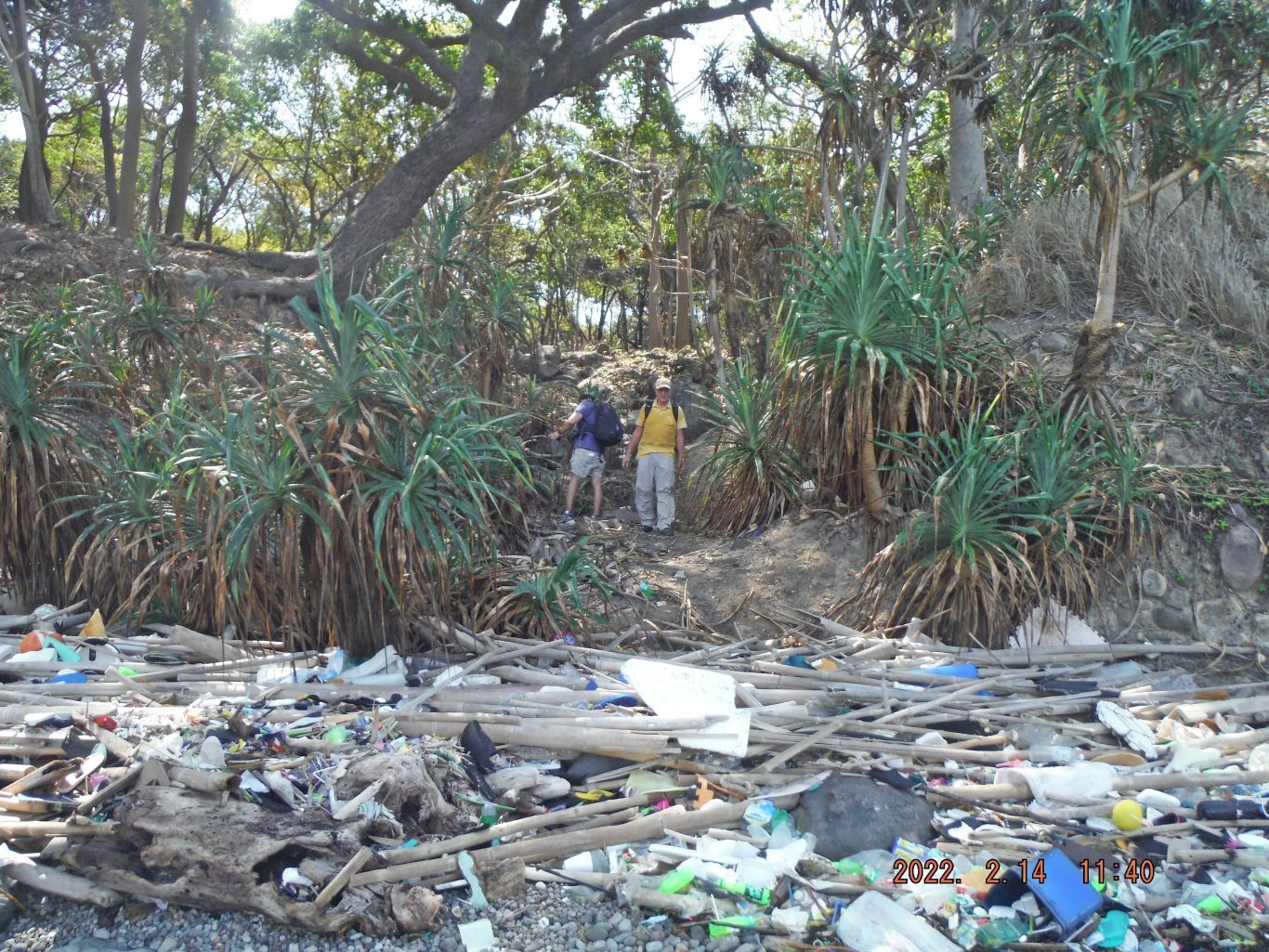
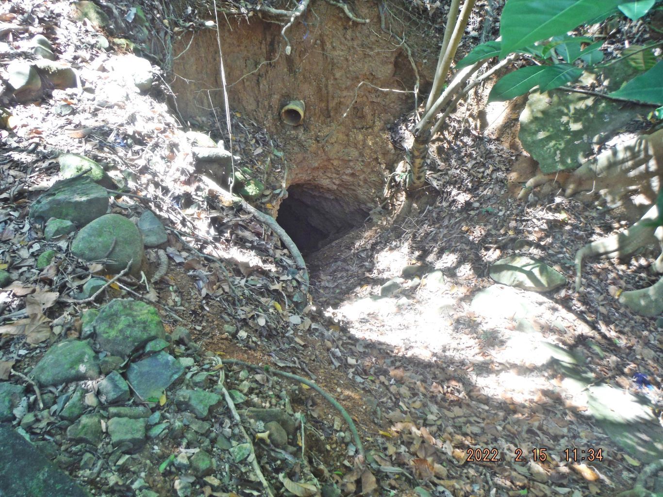
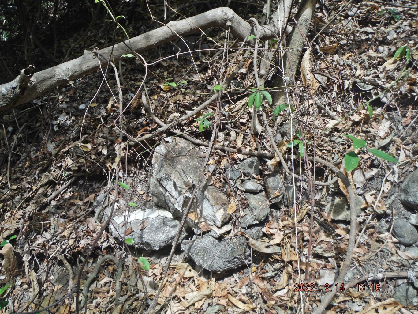
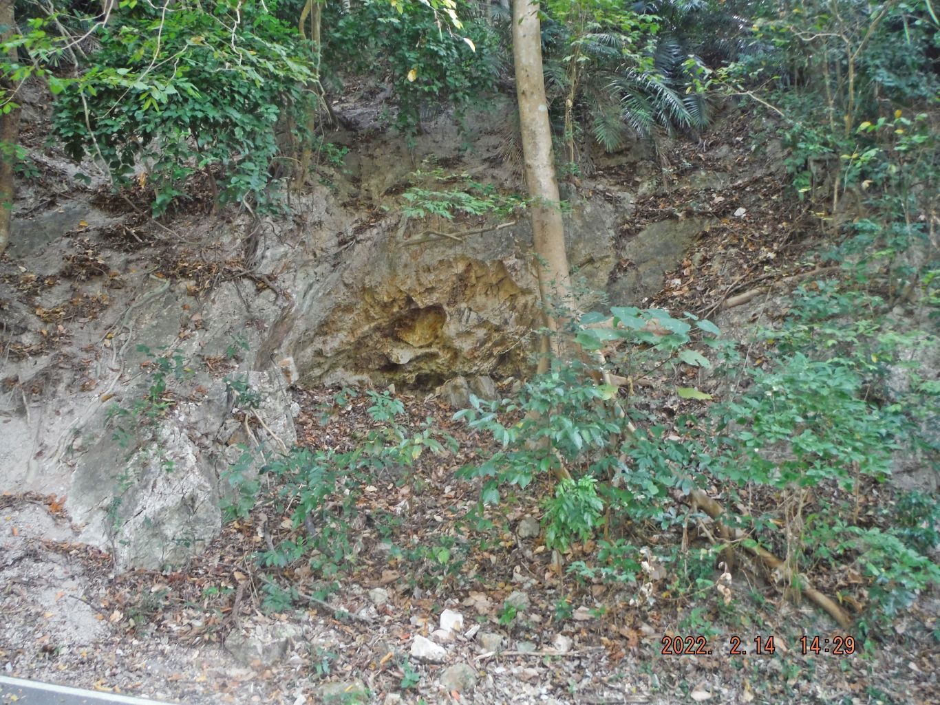
This is one of two images where we descended down to the north Shore of Corregidor Island between the Infantry and Cavalry Points. This ravine, as you can see would have been also easy for tanks to go up on. This is very near the former Balloon Hangar # A or building #628.
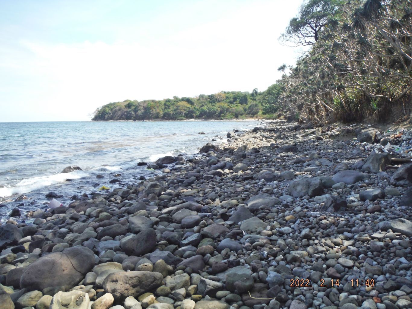
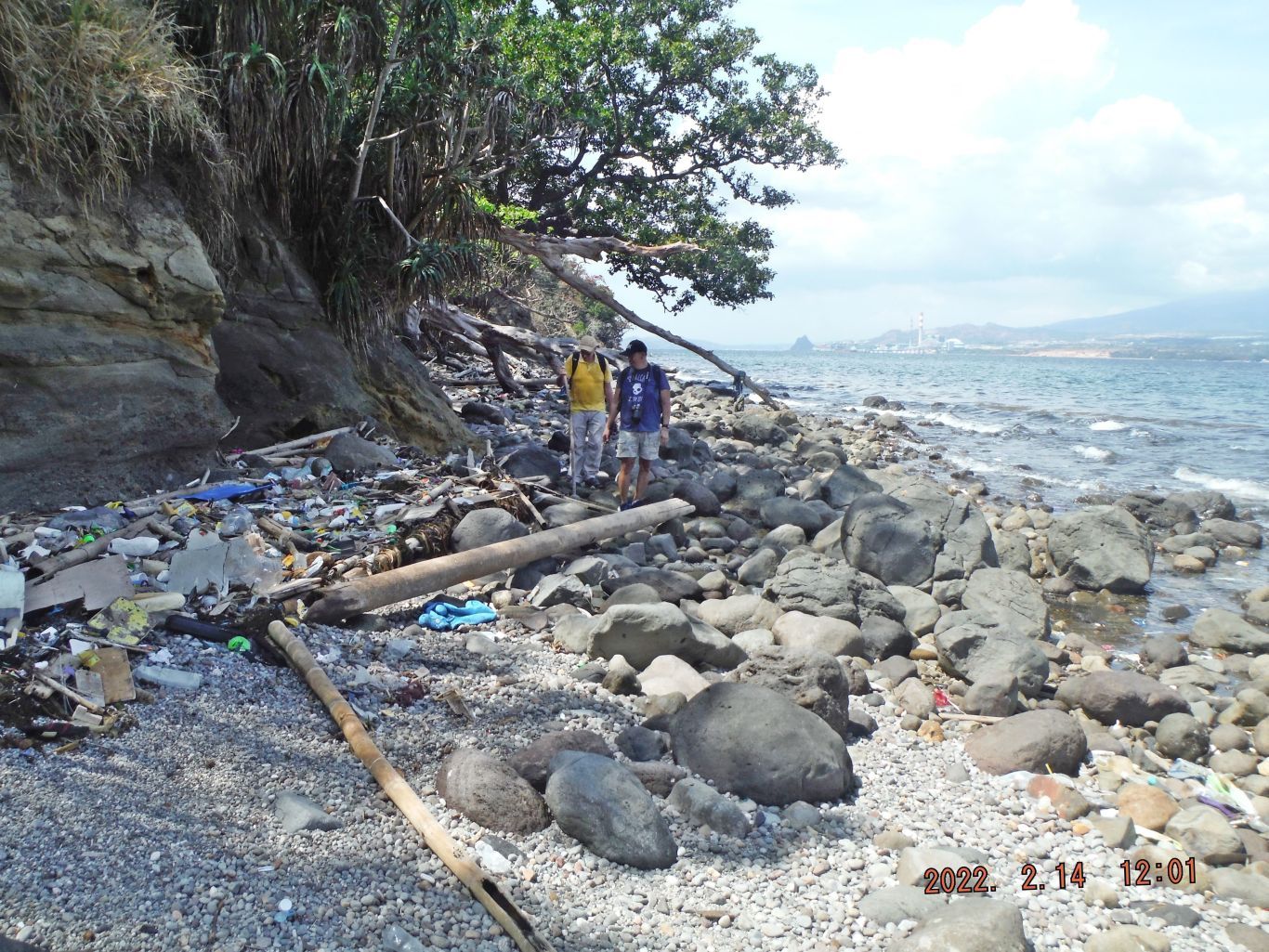
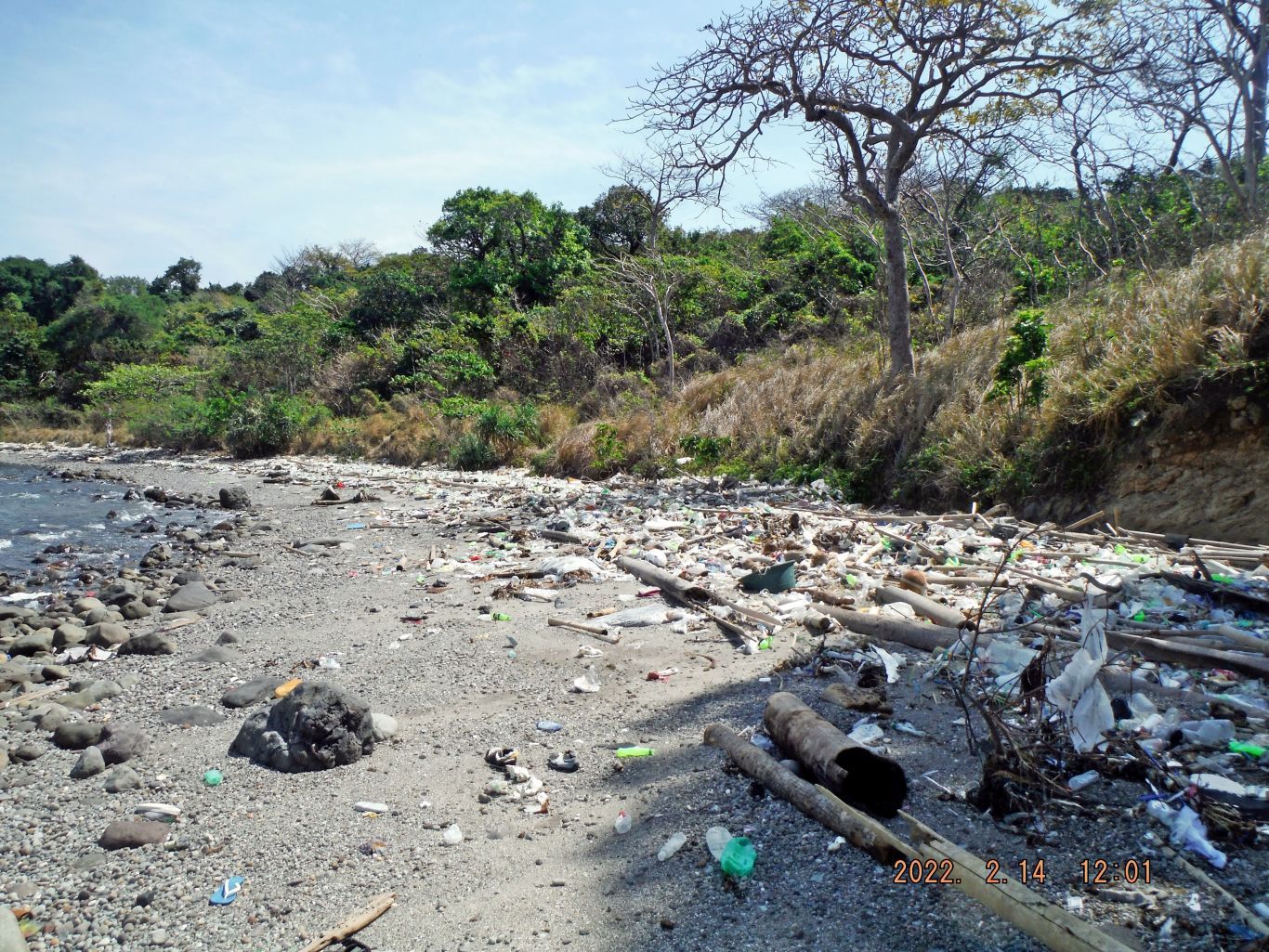
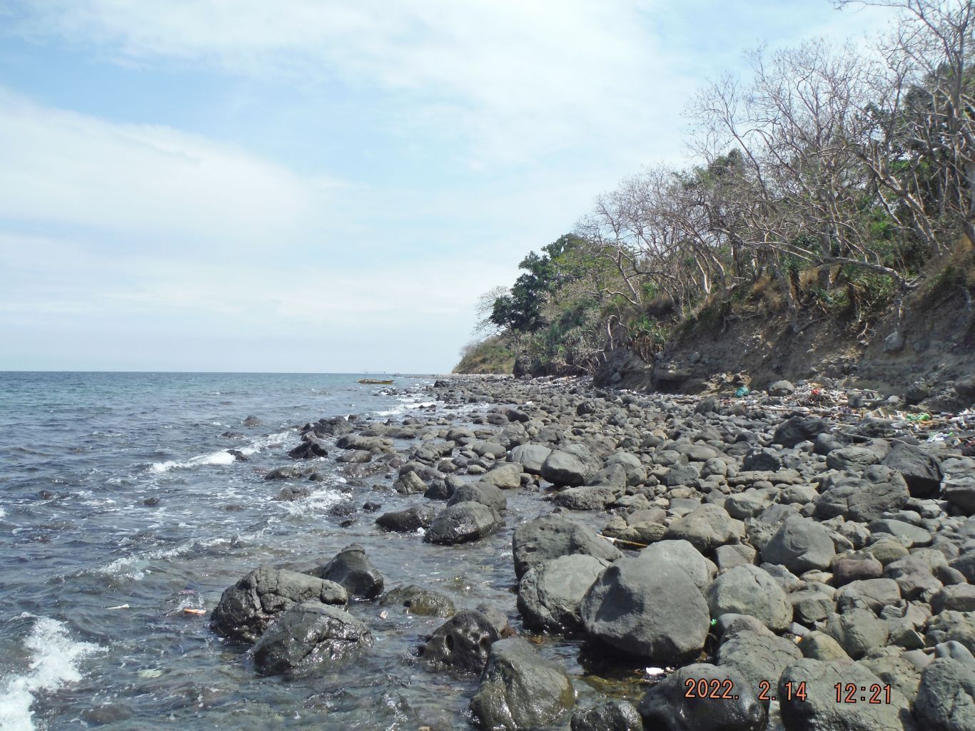
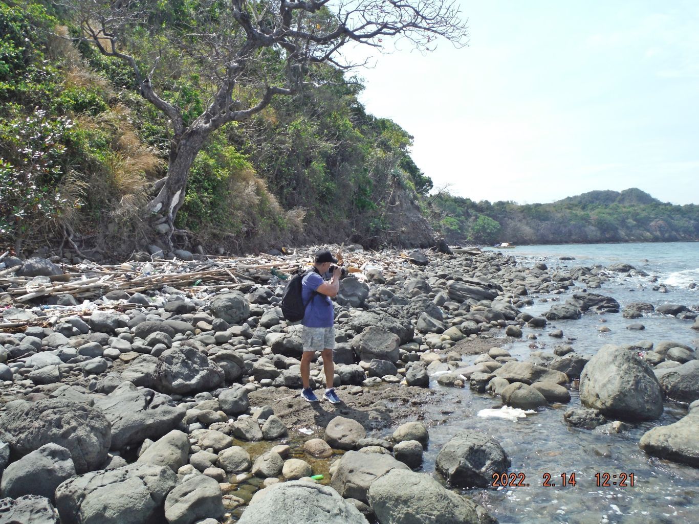
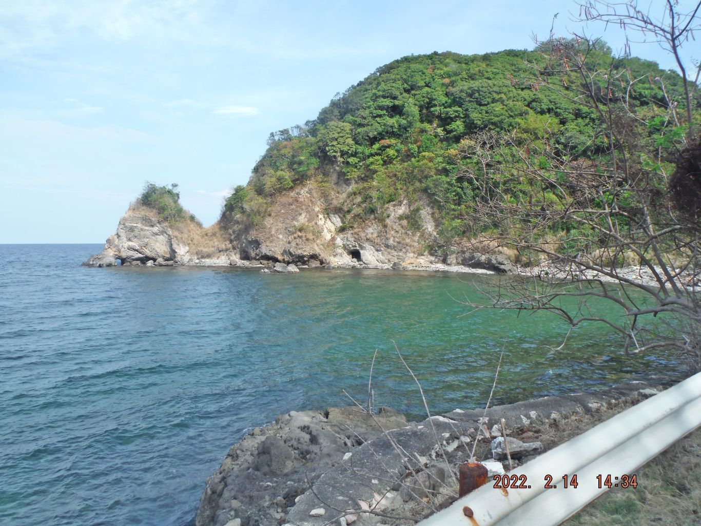
The next 3 images have this description: This is one of 4 images of the rocky north shoreline on Corregidor Island between Infantry and Cavalry Points. Initially the Japanese landed between Cavalry and North Points and some landings were even further east. But as the advanced towards Malinta Hill, they may have shifted the landings here which would have been easier; the shoreline is less steep here and more protected against any east winds.
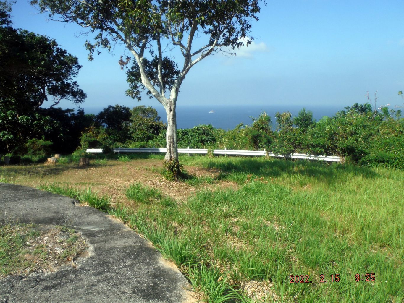
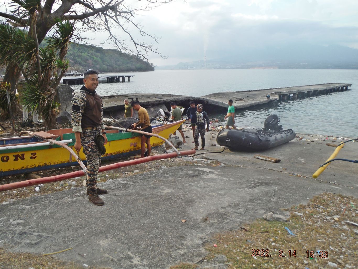
The next 2 pictures have this description: This is one of three images of and from Cavalry Point on Corregidor Island. The first pic is a view from Cavalry Point towards, east, the North Point where the initial Japanese landings were made. The 2nd view is from Cavalry Point into the Infantry Point direction. The 3rd pic is one of the 4 boats that were resting there after their nets were laid. My friends hired one boat to go back to Bottomside and do other things.
The next 2 images have this description: This is one of three images of my struggle to reach the height of Denver Hill and my route took me by near the west end of the Kindly Field. The first pic is about a massive washout next to the Northroad going to the field; look at the zig-zag of my GPS tack on the earlier maps. Next I found wreckage of a building which may have been the latrine near the end of the air field. The 3rd image is a concrete base of a big antenna mast. In this area we have seen many and we believe there must have been an antenna mast forest here for the Navy Intercept tunnel.
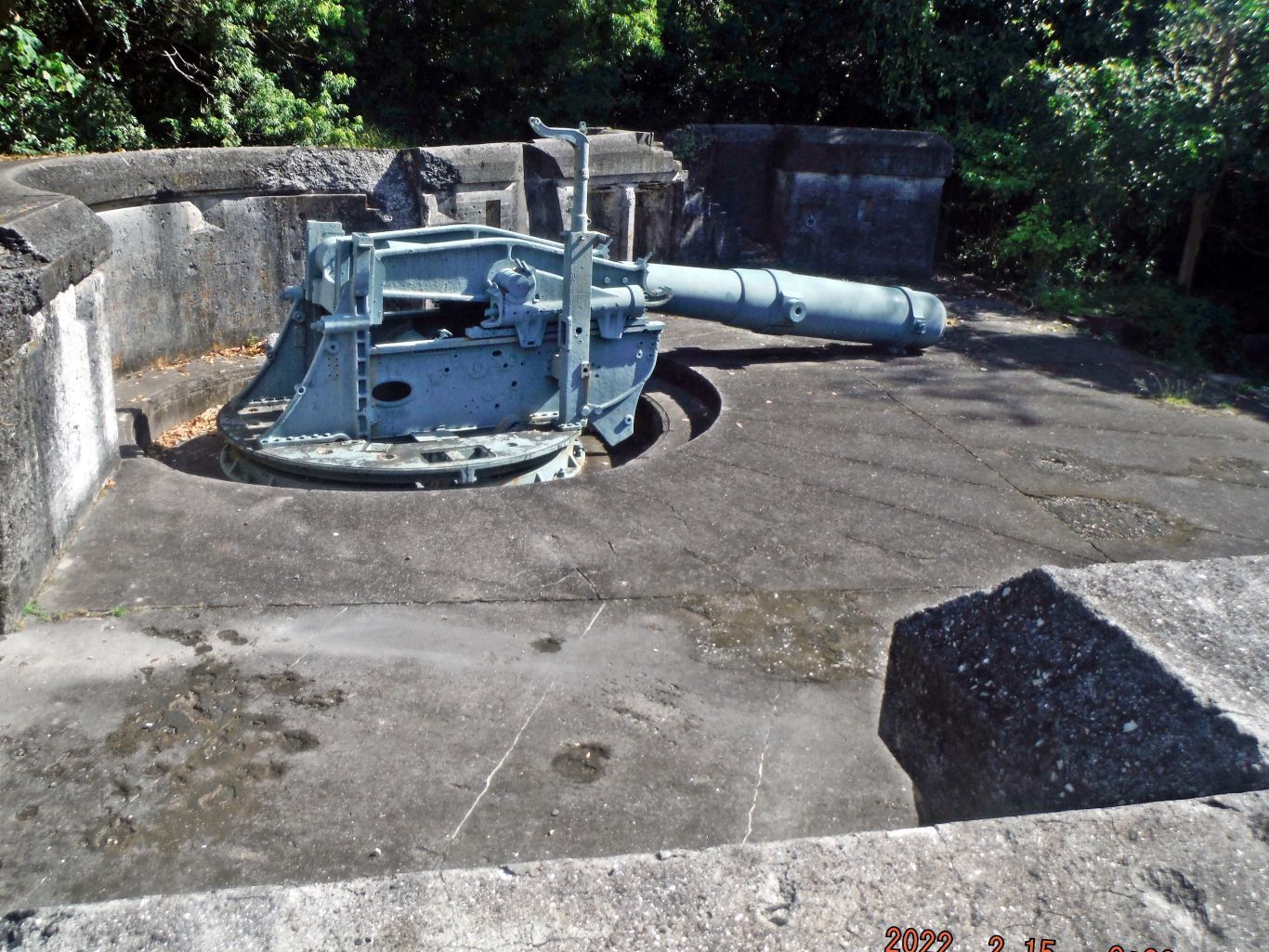
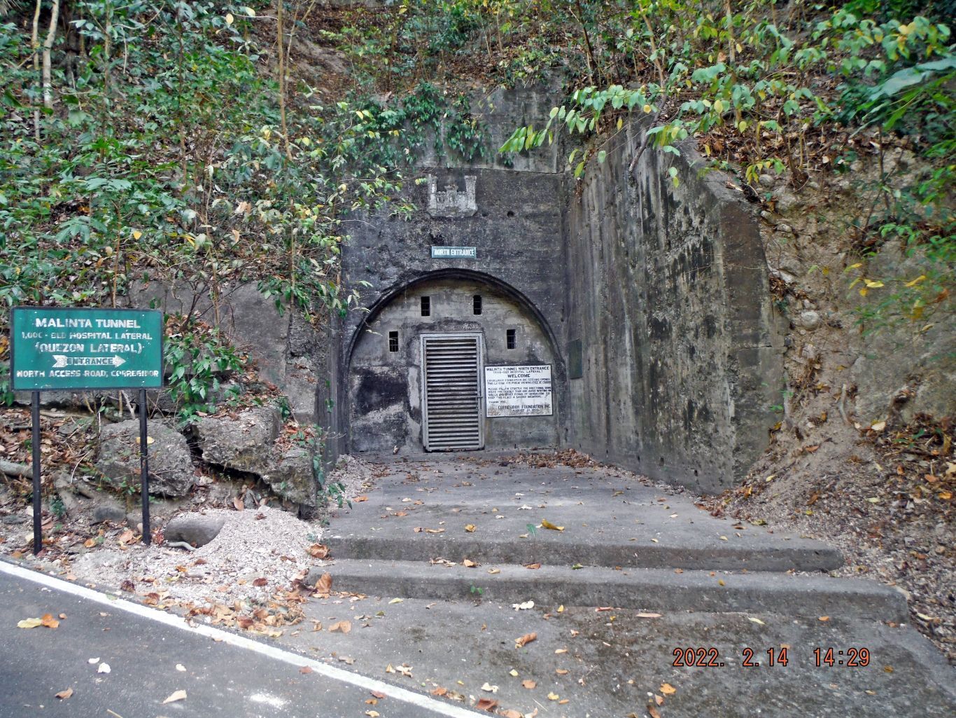
The next two pictures have this description: This is one of 4 images, after I reached the height of Denver Hill and found the Battery Control Station which we a call: “Bathtub Type” for Battery Maxwell Keyes, I called it quits. On my march back I shot pics of the Filipino Heroes Memorial, the North Entrance of the Malinta Hill Tunnel. Then two more shots of a small artillery tunnel just west to the tunnel entrance.
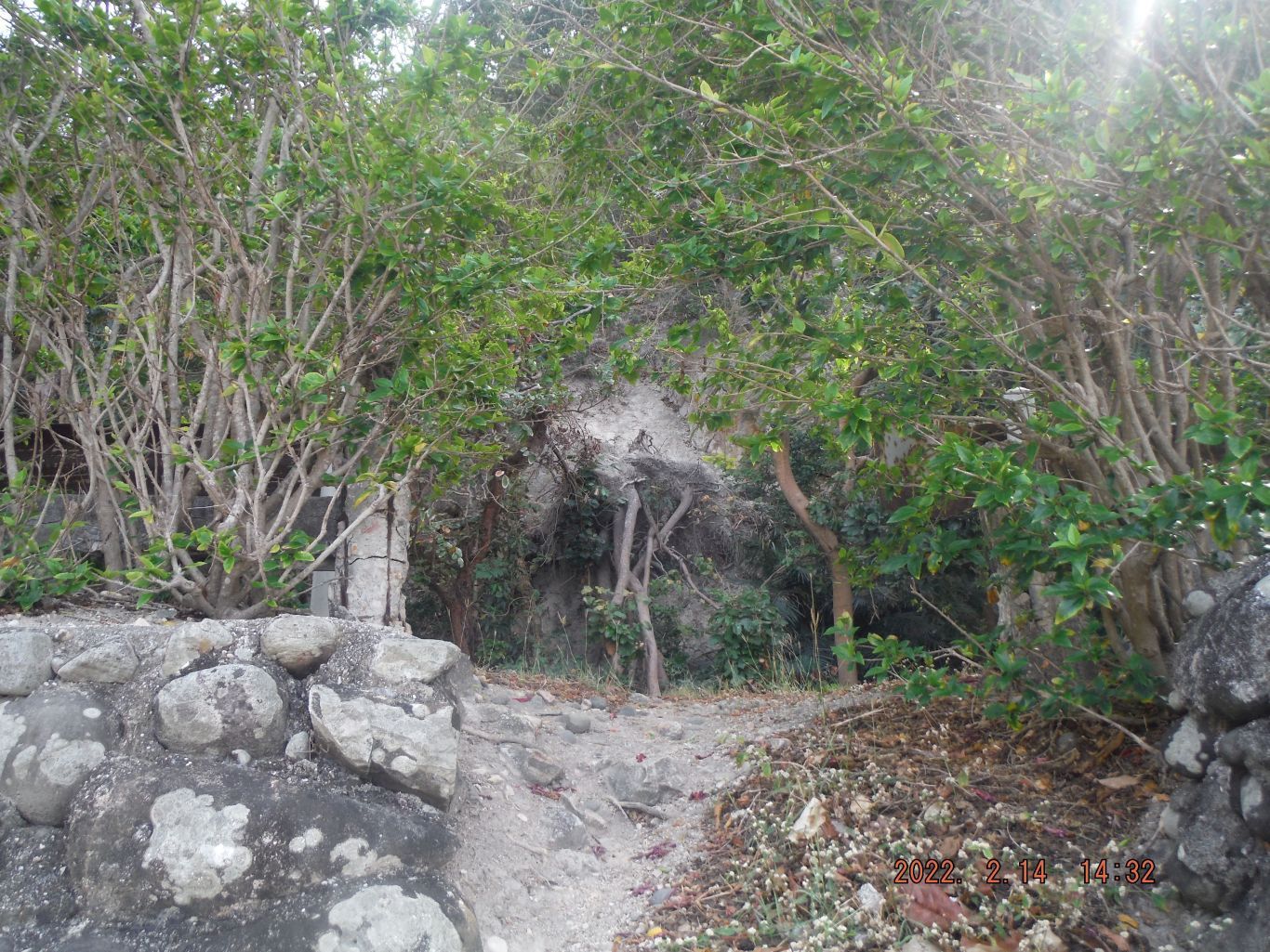
The next two Pictures have this description: This is one of three images of, or near the former Fort Mills Enlisted Men Beach on Corregidor Island. The first two pics show a rock, tree slide just opposite of the entrance to the Enlisted Men Beach. The 3rd pic gives a whole view of the Fort Mills Enlisted Men Beach on Corregidor Island.
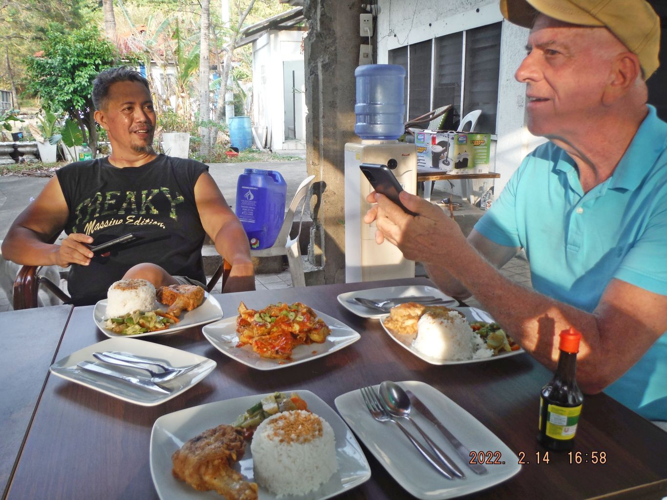
Two pictures have this description but are not in sequence: This is one of 4 images of people on Corregidor Island. Pictures #64 shows Mr. Gerald Randy Anderson, the creator of the Hell Ships Memorial in Subic Bay and Rhonie Dela Cruz, the owner of the Bamban Historical Society and the Bamban Museum of History. The reason I show my picture is that I tell you I won’t put on that heavy pants again; it was 70% wet and heavy from my sweat. Picture #58 is the Philippine Navy Security Team, which had just come back with that rubber Zodiac Boat.
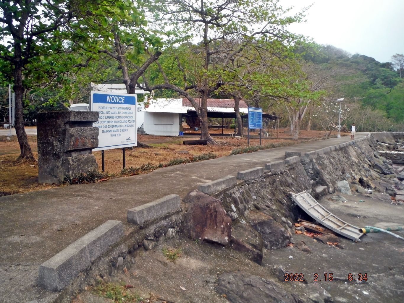
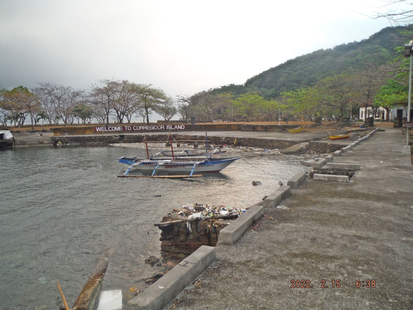
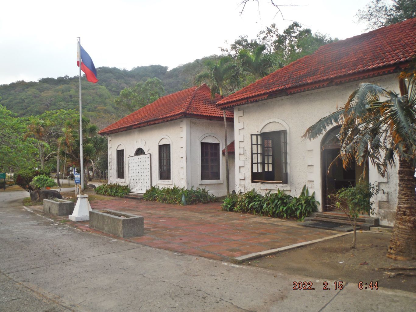
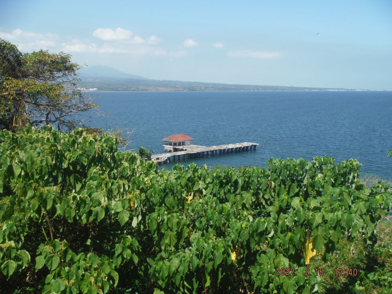
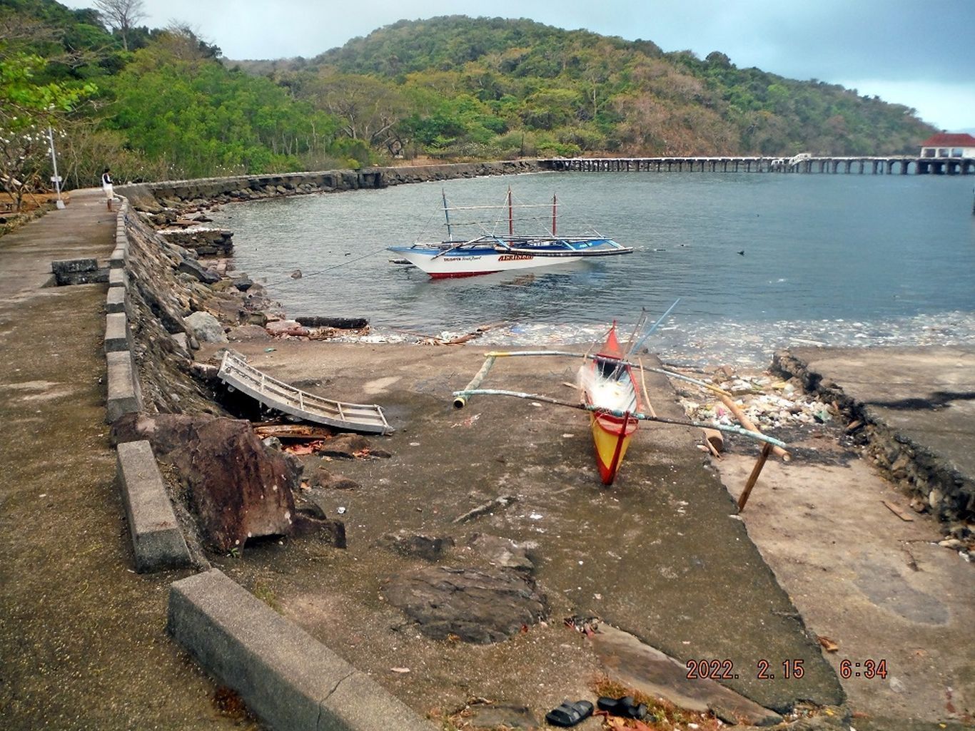
This is one of four images of the MacArthur Café, the Philippine Coast Guard Station, the Gen. MacArthur Lorcha Dock and a few small outrigger boats which are used for fishing by various people on Corregidor, like the employees or the military people.
2022-02-14 to 02-18, First Flag on Corregidor 1945, 77th Anniversary
First Day, Monday the 14th Feb. 2022.
This is a report, diary, of a 4 day visit to the former Fort Mills on Corregidor Island to commemorate the raising of the First Flag (16th Feb. 1942) on Corregidor by the Rock Force, the Paratroopers in particular, after the surrender of the Philippines to the invading Imperial Japanese Military in 1942.
We were Friends of Corregidor and are associated with the Paratrooper Association of the 503d Parachute Infantry Regiment (PIR). We have commemorated this event over a couple decades now and until 2 years ago Paratrooper Veterans who had jumped had come from the USA and honored the event with their presence. The virus from Red China and the advancing age of the Paratroopers prevented them to join us the last two times, this and last year. 2020, it was Paratrooper Dick Adams with his family (one daughter is an Air Force Officer) who honored us, but I was absent in the US for personal reasons.
The Corregidor Foundation Inc (CFI) has supported this event the last three years and every year before since the beginning. They have custody of an US 48 Star Flag which was donated by the Gen. MacArthur Memorial in Norfolk Virginia and even sent some representatives a few years ago. Before that the Filipino-American Memorial Endowment (FAME) also supported the event, they provided wreath and banners for example. Apparently the relationship between these two organizations has cooled!
We are Mr. Gerald Randy Anderson, the creator of the Hell Ships Memorial in Subic Bay, Rhonie Dela Cruz, the owner of the Bamban Historical Society and the Bamban Museum of History and I, the retired Sailor in the Philippines. We met at 7 am in Barangay Barretto, Olongapo City and drove down to the Villa Carmen, at the SE corner of Bataan. The drive was about 2 hours.
This visit to Corregidor had to be coordinated with the Corregidor Foundation Inc (CFI) and that procedure is presented in this webpage:
corregidor.proboards.com/thread/2317/corregidor-status-tourists-report-onwards?page=4 The boat to Corregidor was provided by the Villa Carmen, at the SE corner of Bataan, I used their service now since 2004. I happy with their professional boat crews but I am very unhappy about the price of the boat. The price of the boat ride is 3000 (price of the boat) pesos one way and for the return trip in 4 days we have to pay 3000 pesos again, The history of the high price is a different, long and a separate story, I will write one, sometime in the future, The sea was calm, it was from the NE already, the season for that wind direction is on.
The boat situation, very similar in the 100 Islands Pangasinan and Matnog Sorsogon (visiting islands there in the San Bernardino Strait) is better organized and cheaper there, than the Bataan-Corregidor situation, although the distances and other situations are very comparable.
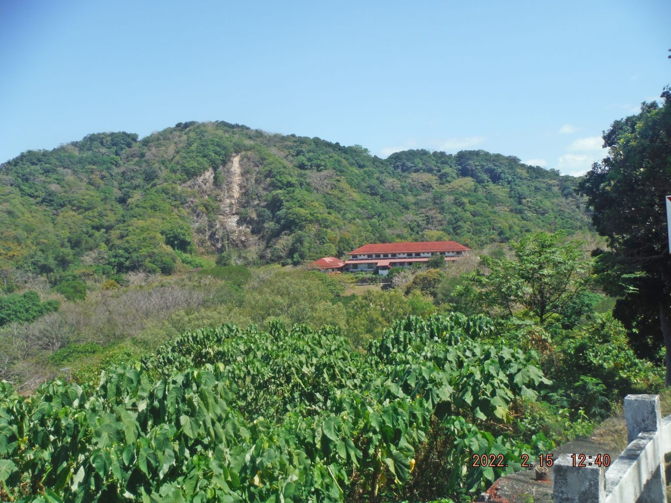
When we arrived CFI checked our temperature, vaccination status and then we settled in at the MacArthur Lodge. Next thing, we got together with the CFI Staff and agreed on the commemoration protocol to follow on Wednesday the 16th Feb, the 77th Anniversary, of the historical event. We agreed to the 0900 hour and CFI offered us transportation to Topside, the Flag Raising Venue.
At the MacArthur Café and Lodge (belongs and is run by the CFI), the Chef and only employee, Miss Jhing prepared us a nice snack and we made plans for today and the next days. Randy’s main interest for today was to study the area where the Japanese landed for one of his future videos in his YouTube account Pacific War Stories:
www.youtube.com/channel/UC57V3nif5jT5TBnhm4hiOiAOff we go to the Corregidor Tailend, we walk passed the 12Inch barrel laying on the ground at Corregidor Bottomside and then we walked thru the Malinta Hill Tunnel, which is an easier walk than using the North Road, going around Malinta Hill. I forgot to turn on my GPS device until we got passed the last Trolley Station.
We decided to approach the North Shore by going passed the row of 6 officer houses in the 92nd Coastal Artillery (PS) area. It is getting more difficult going this route. We made it and had a thorough look at the magazine near and east of Infantry Point. We proceeded then thru the woods, going east to about where the Balloon Hangar “A” is. Just short of the hangar we found a ravine which was easy to descend down to the Corregidor North Beach, rather a very rocky shore covered with Manila Bay trash.
We walked towards Cavalry Point; we saw and met the crews of about 4 fishing boats resting in this area between Infantry and Cavalry Points. Rhonie and I went as far as Cavalry point to have a clear shot along the beach to North Point. My two friends decided to hire one of those boats to return to Bottomside.
I walked up to Denver Hill near the west end of the Kindley Airfield, came across a landslide. Then I went to the bathtub shaped type Battery Control Station for Battery Maxwell Keyes. There I decided to call it quits and returned to the MacArthur Café via the Corregidor Road and shot the Bull and had coffee with my partners.
Then I cleaned up and got read for tomorrow’s activities, like filling water canteens etc. My friends explored Bottomside on Corregidor.
At 5pm we had a great supper, chicken, veggies etc. The power came on about 1742 Hours; off we went to our rooms to download pictures, put equipment on charge etc. Our first socializing evening went well; I had 3 SM Light beers. This place is a nice place to sit down talk about history or anything, it truly is.
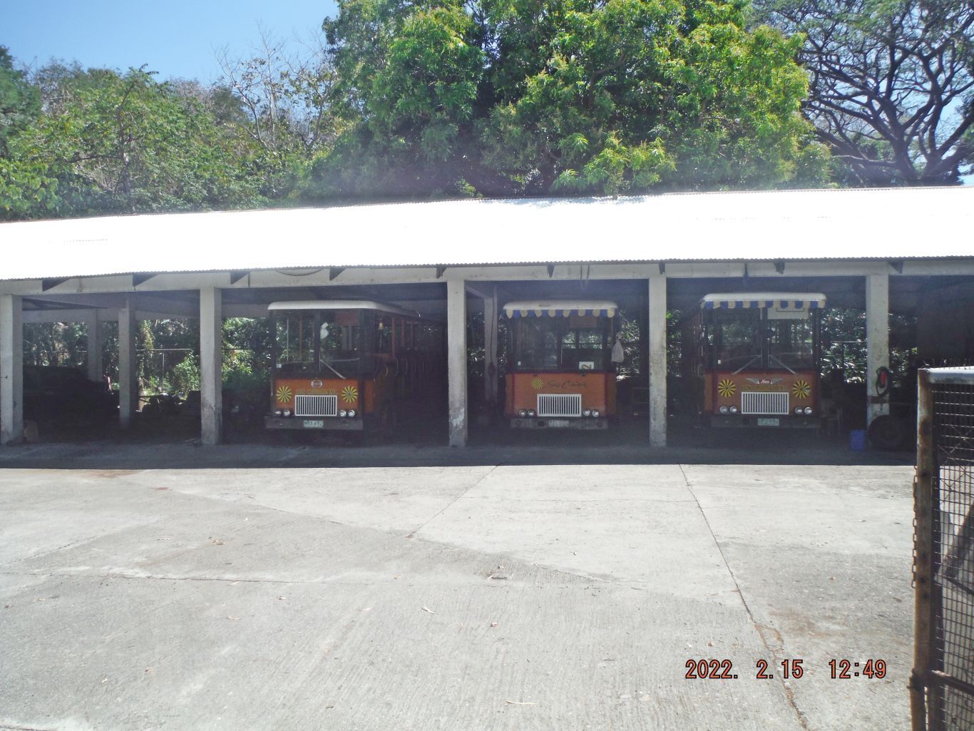
I did walk later to the trolley garage and learned that only four (4) are left on the island, the others were sold. The power went off at 2100 Hours but later CFI had a heart and turned the generators on again for most of the night. That was also so done for the next three nights. It was appreciated by these visitors, thank you CFI for having that nice heart.