|
|
Post by The Phantom on Dec 30, 2009 6:29:43 GMT 8
Nice Photo's, thanks for posting Fots and tiyoalan.
Will show all, "The Toilet" on the Fort, on next trip.
The last picture provided by tiyoalan is interesting for what it repeats in other published photos, and what is new, to me anyway......
It appears the hospital is in the current area of Mac Arthur's cafe, Administration buildings, Trolley repair area, etc.
It appears the troops of A and B Pennsylvanians are situated in present day Engineers Ravine.
Note they put a road part way up the hillside to get between the areas.
Today the road is at the bottom of the hill , just west of the former Coaling station area.
Now a water saturated large pit separated from the water by a rebuilt concrete wall.
(Pieces of coal can still be found here easily)
The old mission/ monastery? is seen in the photo on the southeast side of Bottomside, in front of Caballo island.
What is the tower in the middle of the photo?
|
|
|
|
Post by fots2 on Dec 30, 2009 9:06:22 GMT 8
Hi Phantom,
Why do you think "hospital is in the current area of Mac Arthur's cafe, Administration buildings, Trolley repair area, etc."?
|
|
|
|
Post by mapmaster on Dec 30, 2009 10:09:44 GMT 8
Hi
From the wording of the caption of the subject photograph number 1, it looks like the hospital and camps for Companies A and B are in one area. San Jose is too distance for any suggestion that one of the Barrio Buildings was the hospital. There is one very large tent in the camp area. It could be the hospital?
The sepia photograph taken from the same location as subject photograph number 1, looks like it was taken on a calm day with a high tide. In the subject photograph, there are waves breaking on the beach. Neither are visible in the sepia photograph.
Regards
mapmaster
|
|
|
|
Post by The Phantom on Dec 31, 2009 0:02:41 GMT 8
That was the general location described in a book I read written in 1899.
I guess I went back too far in history for my source.
It stated that the Spanish used that area of Corregidor for their troops to convalesce.
And that when we took Corregidor over we took over their facilities for our troops.
The book I have is:
"EXCITING EXPERIENCES IN OUR WARS WITH SPAIN AND THE FILIPINO'S"
WRITTEN IN 1899
COPYRIGHT 1900
BY THE EDUCATIONAL COMPANY, CHICAGO
The title page leads one to believe it is somewhat embellished as was the case in that time.
"EDITED BY MARSHALL EVERETT"
" THE GREATEST DESCRIPTIVE WRITER THE WORLD HAS EVER KNOWN"
Including:
THE OFFICIAL HISTORY OF OUR WAR WITH SPAIN" by President WM. McKINLEY,
|
|
|
|
Post by The Phantom on Dec 31, 2009 0:21:16 GMT 8
I hadn't posted THE ABOVE YET, but the system did.............
Continuing with the books title page which you may be interested in....
"As contained in his Official Message."
" All the Fascinating Stories of our Late Wars Told by the Commanding Heroes Themselves.
The Life and Achievement of Admiral George Dewey.
The Life and Heroism of Brig. Gen'l Funston and the adventures of Aguinaldo"
THRILLING STORIES OF BRAVERY, EXCITING PERSONAL EXPERIENCES, WONDERFUL DESCRIPTIONS OF OUR VICTORIOUS BATTLES.
The History of each of our new possessions and The History of American Expansion.
Including the Peace Commission and the Treaty of Peace.
(to all of which is added)
The Songs of the War and the Cartoons of the War Explained.
(and a )
COMPLETE GALLERY OF PHOTOGRAPHS, AUTOGRAPHS AND BIOGRAPHIES OF WAR HEROES, PHOTOGRAPHS OF WAR SCENES AND WAR INCIDENTS."
As Exo states, there were great photos even back then.
|
|
|
|
Post by mapmaster on Dec 31, 2009 8:19:48 GMT 8
Hi Here are three more period photographs of the shoreline of Corregidor Bay. Camp of Company A and B, Pennsylvania Infantry c1900 View from Malinta Hill towards what would become Engineers Ravine c1900 View from San Jose towards Malinta Point Regards mapmaster |
|
|
|
Post by fots2 on Jan 3, 2010 23:28:24 GMT 8
Battery Rock PointOn Corregidor's north-west coast was a gun position called Battery Rock Point. It consisted of two 155mm GPF guns however only one was on a Panama mount. Today the Panama mount is visible near the old road but it is heavily covered with soil and vegetation. Two concrete magazines are located 78m (255ft) apart in the hillside inland from the road. They have a long concrete walled walkway with a rounded 90 degree turn near the magazine's entrances. The magazines are a mirror image of each other and the only actual difference I see is the location of the interior air vents. Both still exist today and have sustained very little battle damage. The only thing missing was some sort of battery control structure. Many shell/bomb craters are in this area but I later noticed a shallow depression in a large mound. There are chunks of half buried broken concrete sticking out and it has the look of a destroyed entrance. Just to confirm that it might be a bunker or command post of some sort, I walked up on top of the mound. Sure enough, there is a low concrete lined air vent still sticking out of the ground.  Here is an example of 155mm GPF gun on a Panama mount. Notice the concrete inner and outer rings. (This photo is not of Battery Rock Point.. This is one of the guns of Battery Levagood near Kindley Field). 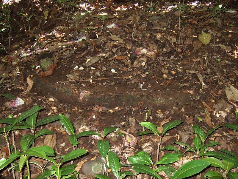 Here is a view of the inner concrete ring of Battery Rock Point's Panama mount. 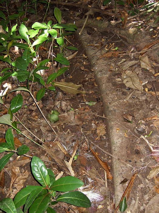 A section of the outer concrete ring is visible here. 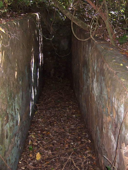 The concrete walled walkway into the southern most magazine. Ahead is a 90 degree turn to the left. 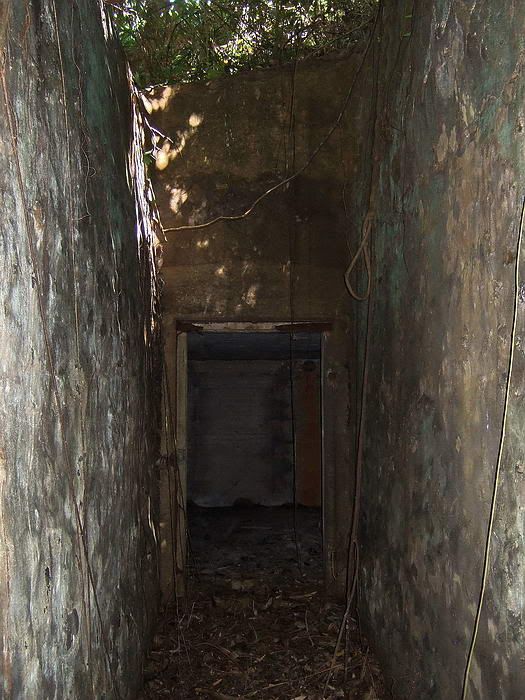 At the turn looking towards the magazine's entrance. 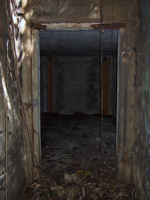 A close-up view of the doorway. It had a hinged door at one time. 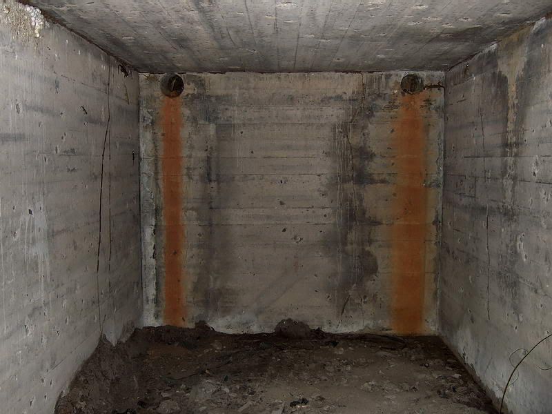 An interior view of the magazine with two air vents in the rear wall. 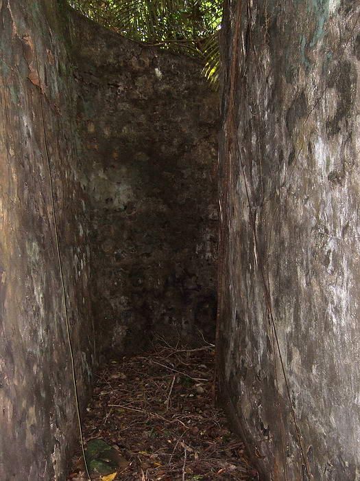 This view taken from the doorway looking back out clearly shows the rounded 90 degree corner. 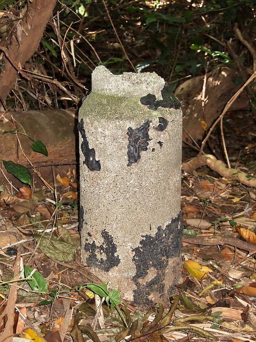 One of the air vents on top of the magazine. 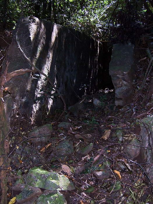 At the second magazine, the outer end of the wall has been damaged. 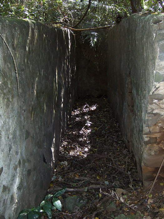 Looking straight down the walled walkway towards the magazine which is on the right this time. 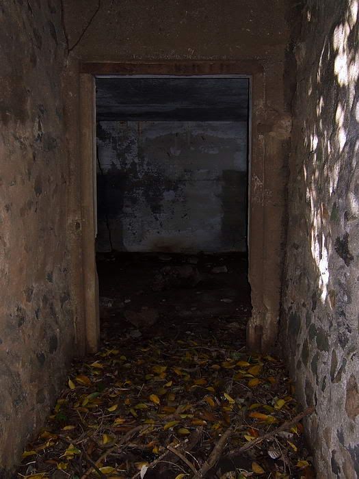 The entrance to the second magazine. 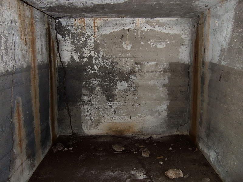 Interior view of the magazine with the air vents at the rear of the side walls. 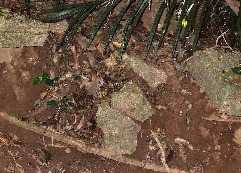 Looking at part of the shallow depression in a large mound of earth, broken concrete can be seen sticking out. 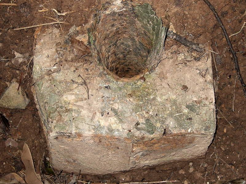 This is the air vent located on top of the same mound. I expect that whatever is under this mound has been undisturbed for 65 years.
|
|
|
|
Post by okla on Jan 4, 2010 1:12:13 GMT 8
Hey Fots....Many thanks for another Fantastic Fots Foto Tour to start the New Year. Methinks, that you are the perfect candidate to take spade in hand and examine that mound of debris of which you speak next time you are on the site depicted.
|
|
|
|
Post by fots2 on Jan 5, 2010 22:25:00 GMT 8
Hi okla, It is tempting sometimes but I don’t think disturbing these places is a good idea plus it is forbidden to dig on the island. I have always been a “take only pictures, leave only footprints” type of guy. Now if I happen to trip over a cave or tunnel undisturbed since WWII, I will certainly explore every inch of that. Hey, I can dream too… Sorry for the late reply. I have been away on a mini vacation to Tagatay and the Taal Volcano area. Here are before and after just after sunset photos taken yesterday. (Tell your wife that you both can visit here after you return to Manila from your Corregidor trip).  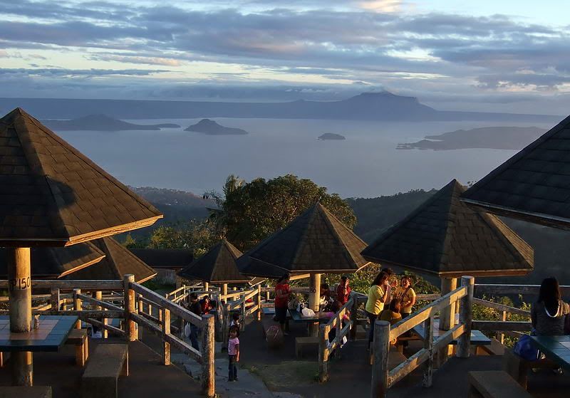 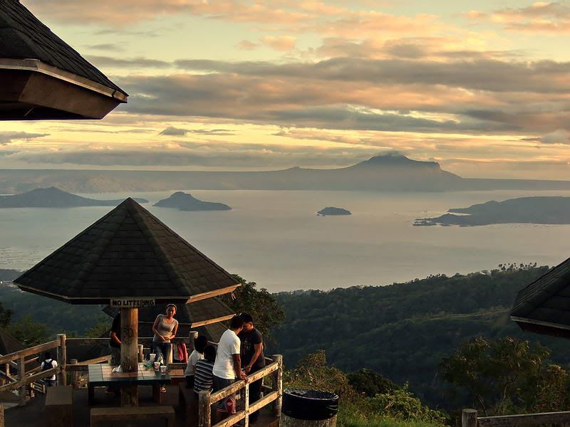 |
|
|
|
Post by okla on Jan 6, 2010 1:55:43 GMT 8
Hey Fots...I totally agree with you about digging and probing around battlefields/historic sites. It especially irks me when I see these people with metal detectors wandering around "sacred" places, but I have a confession to make. Back in the 1980s I was prowling around the Shiloh battlefield in Tennessee right after a fairly heavy spring rain. I was crossing an area where any water drained into a shallow creek. Lo and behold I espied a "minie" ball. I DID NOT turn it into the Park HQ nor did I leave it for someone else to take home. It now sits in a small display in my living room along with a Union army cavalry spur that my brother in law found in an excavation for a shopping center near Yellow Tavern, Virginia. Having about as much feeling for history as a tree stump, he asked me if I wanted it. Now that I have confessed about the relic from Shiloh, my soul is cleansed. Man o man those are gorgeous shots of your little "outing". You have no idea how good the tropics look to me today as I look out at the snow and ice on the ground around my city. The weather gurus say more is to come. The weather map shows a couple of new systems lurking up there in your Canada. My 2nd cousins, who I have never met, who live near Wainright, Alberta probably are thinking nothing of it. Routine stuff to them.
|
|