Hi Karl, thanks for going back to the previous pages and updating old photos with new info and commentary.
Just to refresh, here is the background about the battle that happened here in the Layac/Culis/Dinalupihan area.
www.historynet.com/battle-of-bataan-brigadier-general-clyde-a-selleck-commands-the-layac-line.htmWe were interested in finding the general battle position where Sgt. Jose Calugas earned the Medal of Honor:
en.wikipedia.org/wiki/Jose_CalugasHere are my pictures from our visit.
This bus shed was at the corner of the road that we turned right (west) into from the main road.
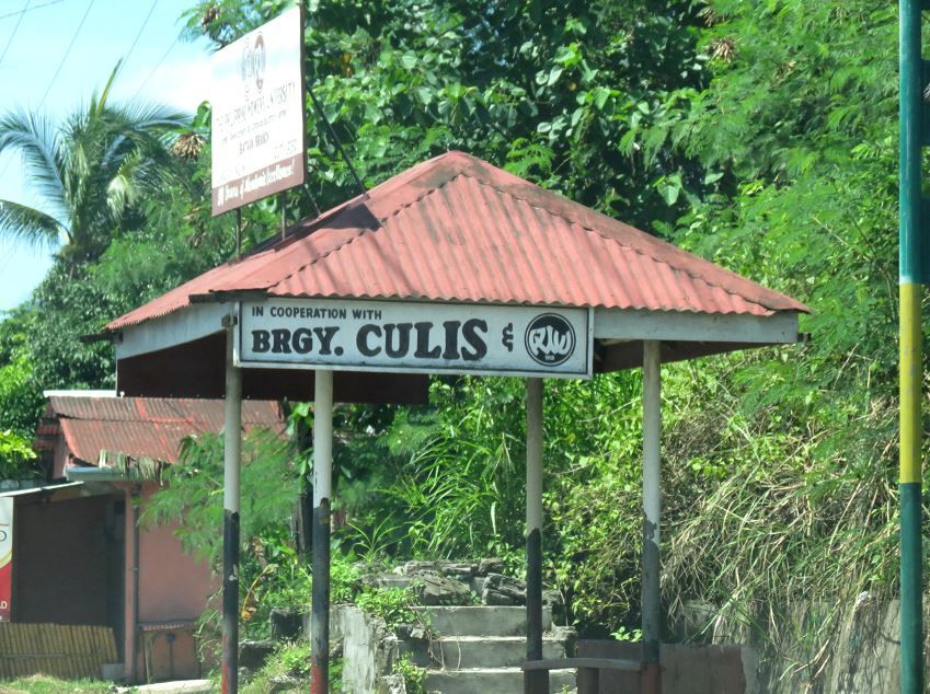
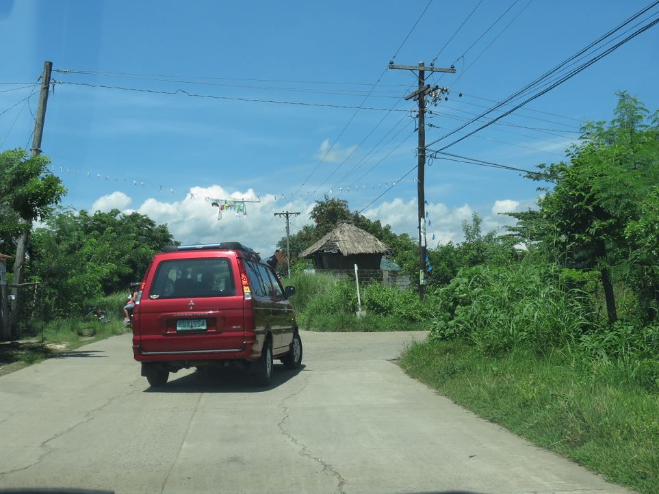
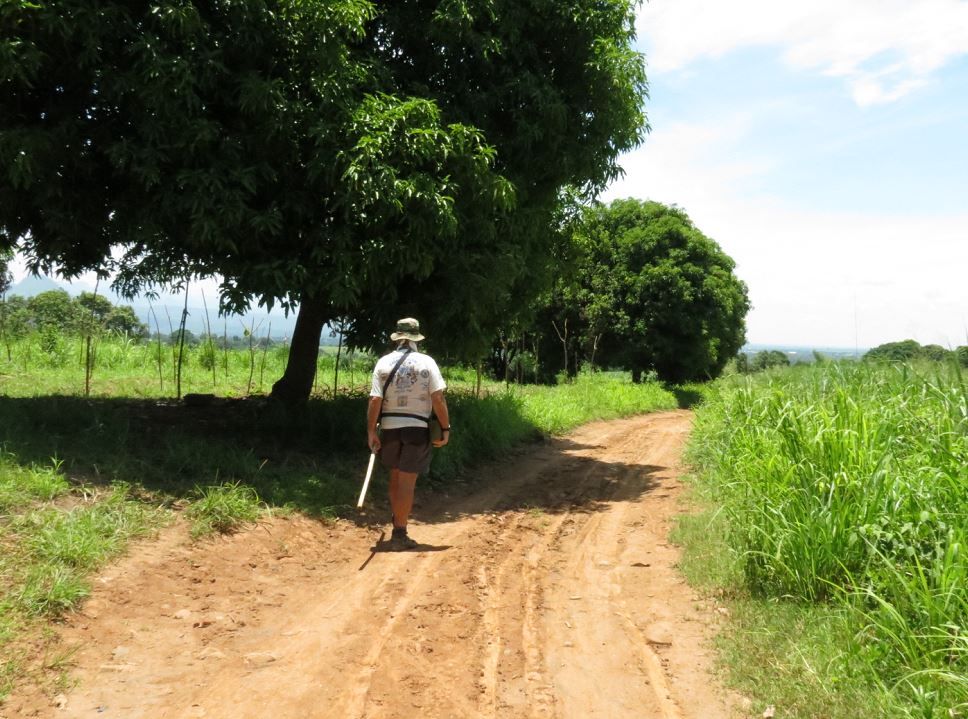
This road was probably the trail that the 88th took from Culis to get up to their positions. Following Karl’s car.
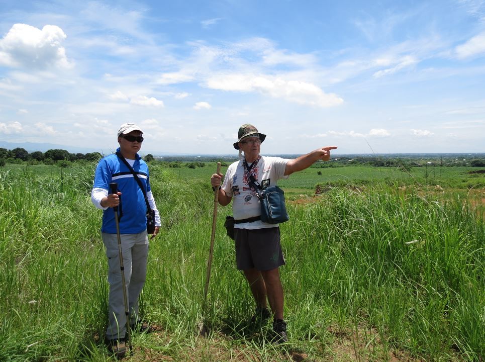
This is the first high point that we visited that Karl had pre-scouted earlier in the morning. This is Renan, my doctor friend.
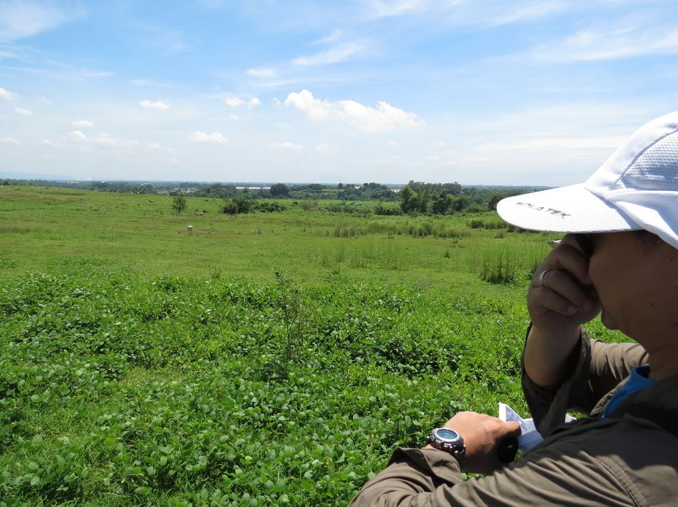
Karl and I consulting maps and GPS. Funny enough, this area high point had a tall pole with a flag.

My friend kept on snapping pictures while Karl and I get our bearings.
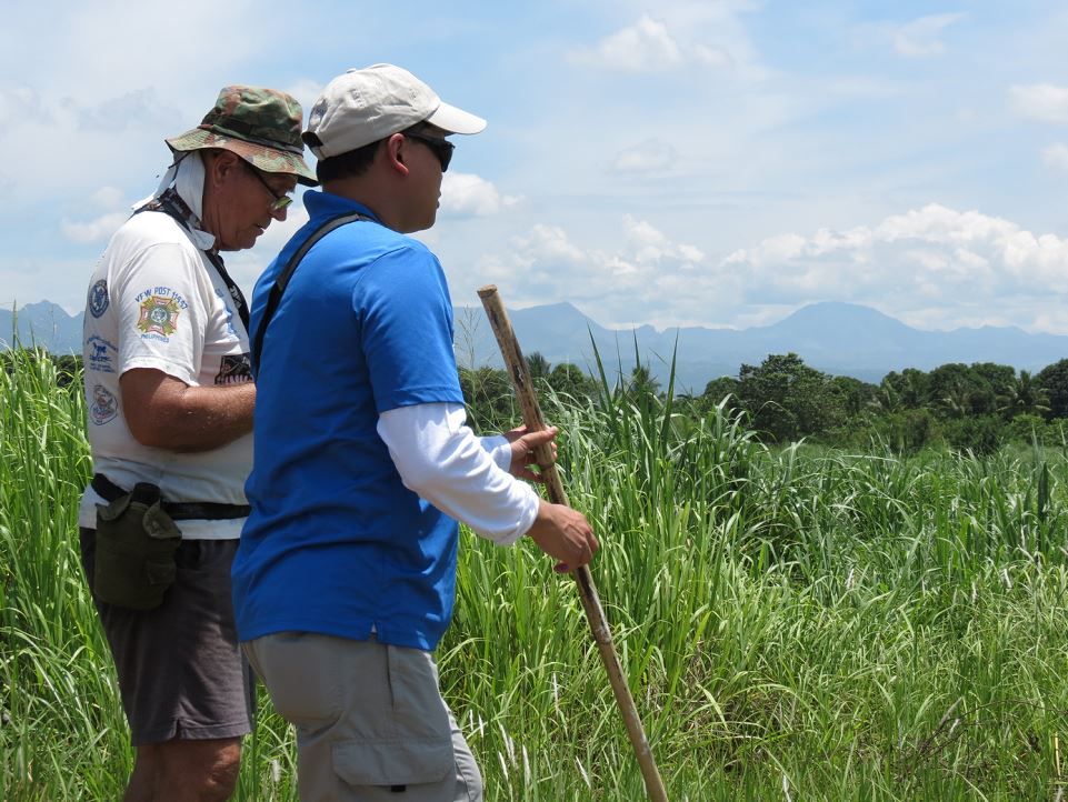
We investigated another high point that had the Tama river closer to its south. We were getting close but some things didn’t add up yet. There was no 50 or 60 foot hill drop to the north of the position.
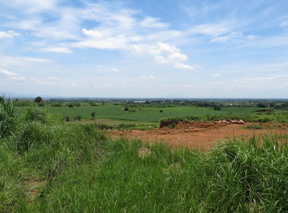
I’m pretty sure this quarry wasn’t here in 1942 so this doesn’t count as a steep drop off.

More consulting, hiking around, and searching…
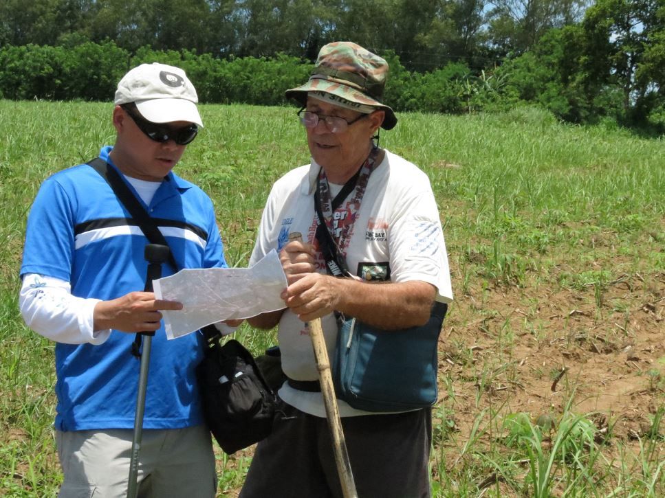
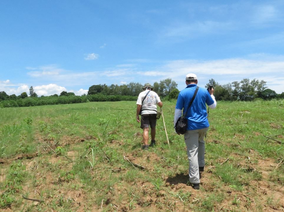
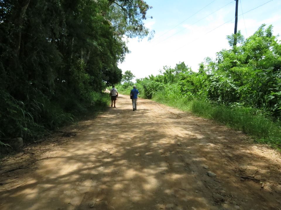
We went around and back up to the road. This is promising because more often than not, an old trail in 1942 turned into a paved road (sometimes) in present day. This road isn’t even paved. But we’re still up in an elevated area.
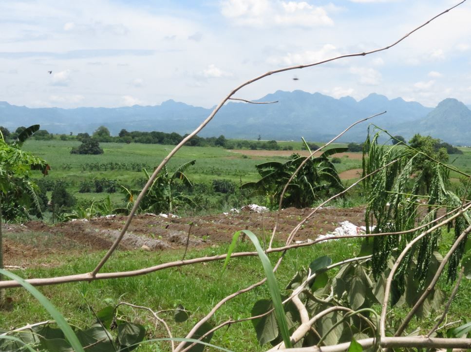
Then from the road, we spied an area to the left (north side) where there looked like a steep drop off.
We found a break in the hedgerow and were able to get in close.
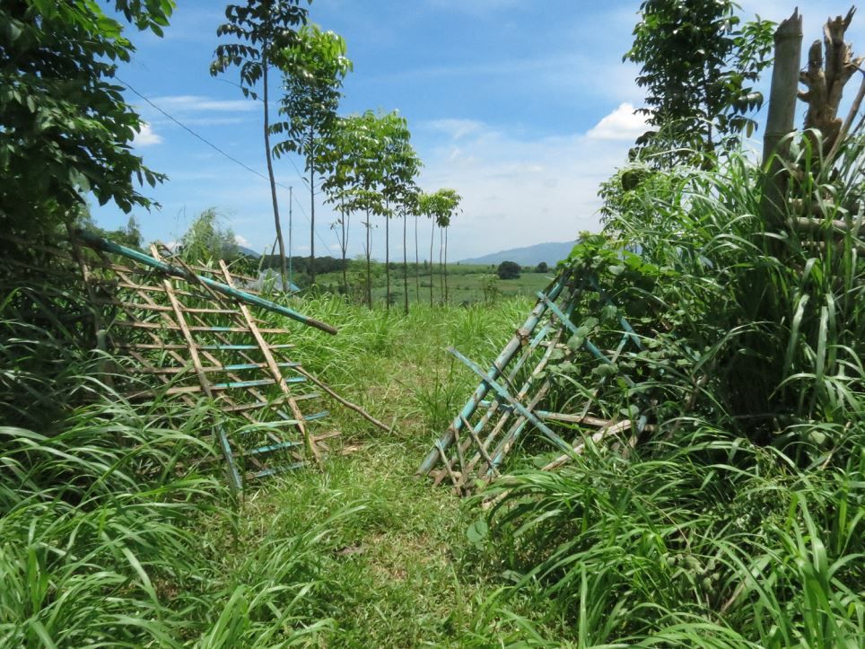
It looked very promising indeed. This area is close to the road (or trail in 1942), has a steep drop off to the north, has a meadow to the north following the drop off…
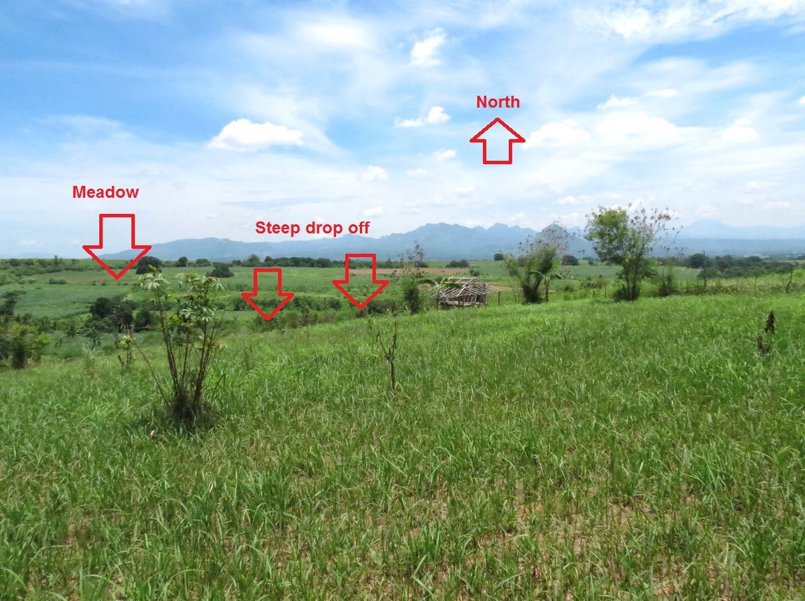
It has a good commanding view of Layac. Since the present day bridge does not have a tall span anymore, we couldn’t really pinpoint visually where it was.
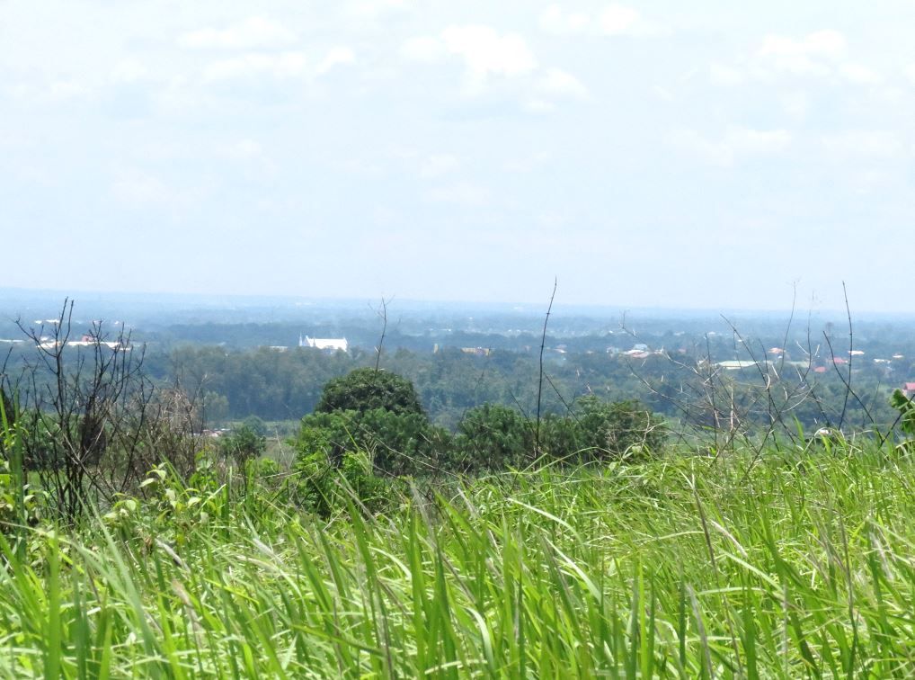
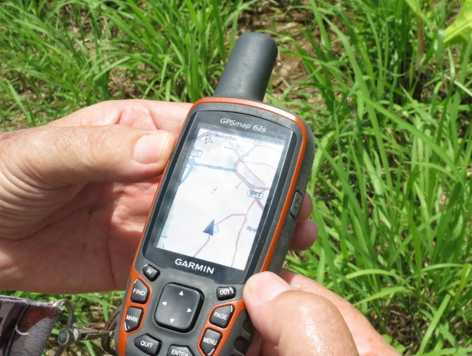
But Karl’s GPS were telling us that we were facing and overlooking the bridge
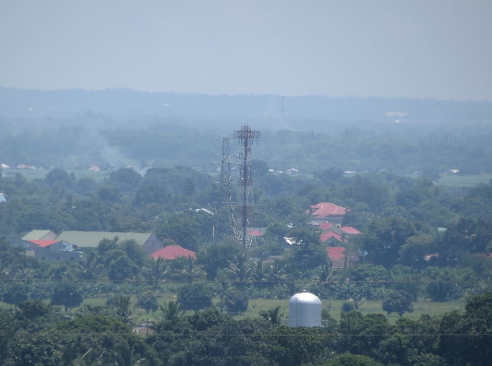
I tried to glean where the bridge was… doing a “reconnaissance by zoom camera”. No dice.
Here’s another look at the drop off from another angle. I would say this was about a 50-60 foot drop.
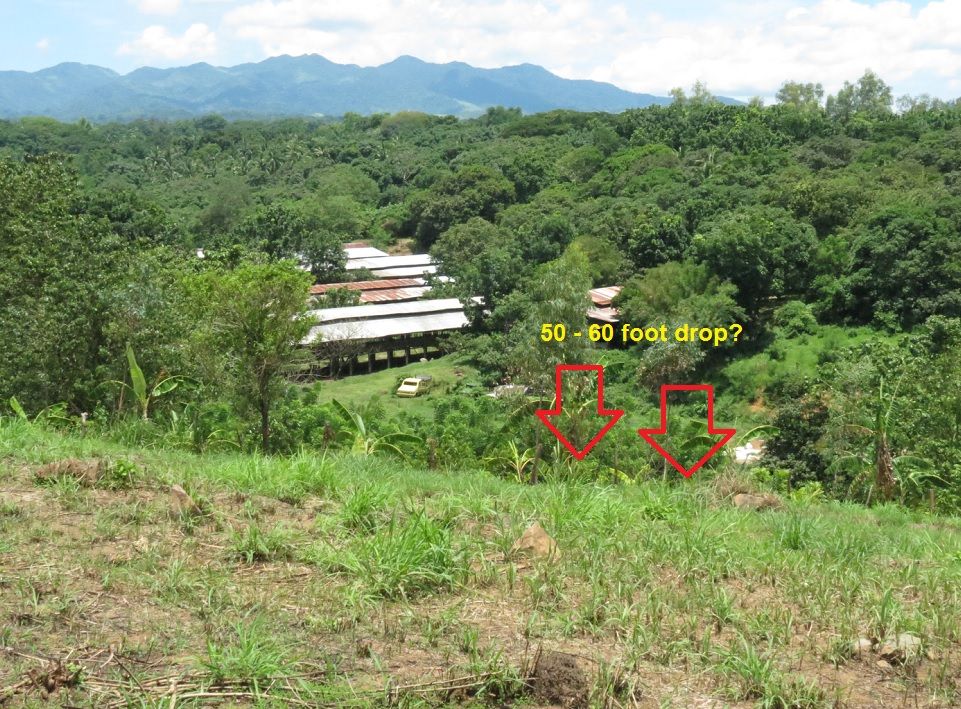
We were pretty convinced that we found the place. One more time here’s the commanding view of Layac.
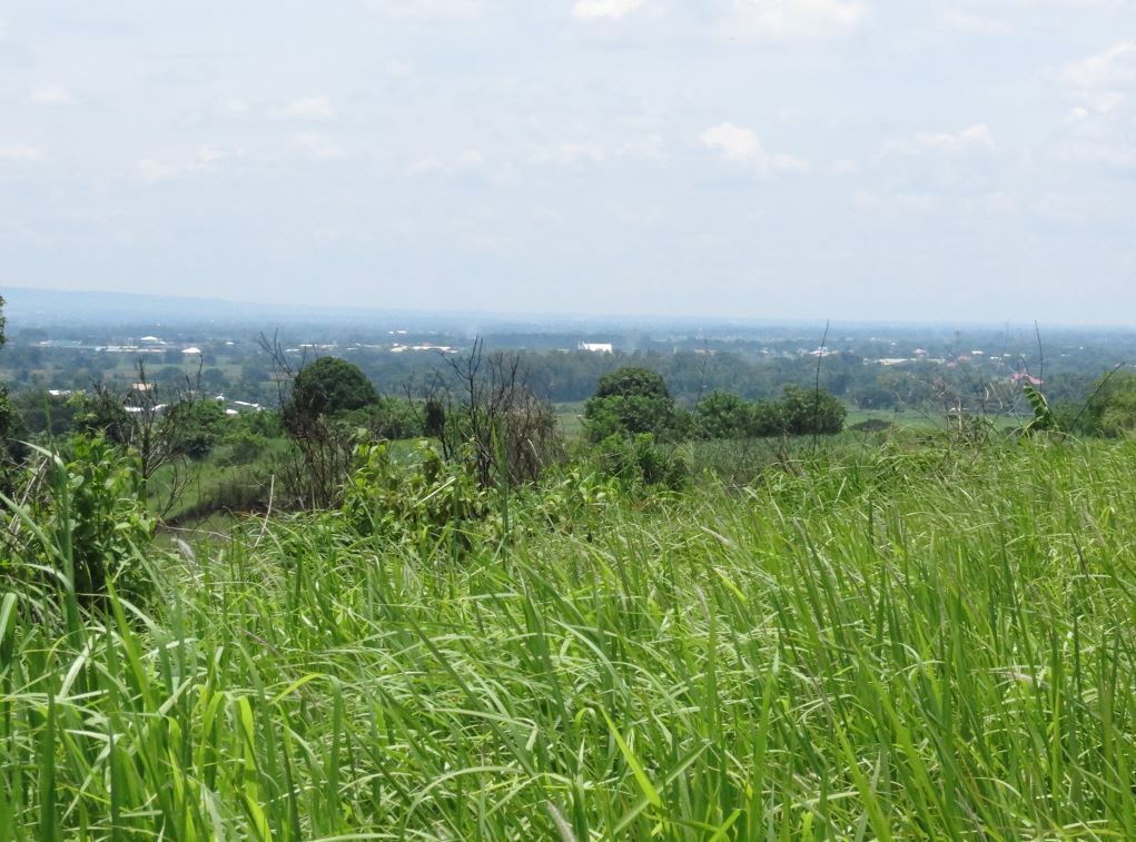
More views…
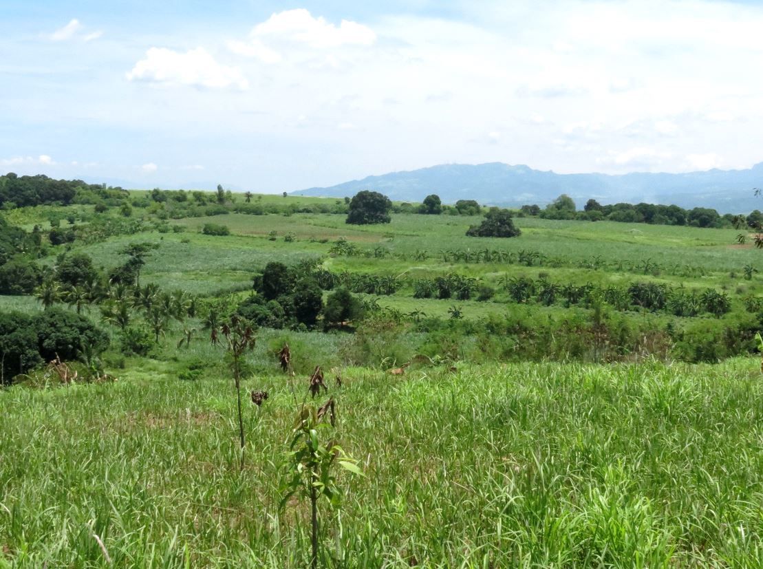
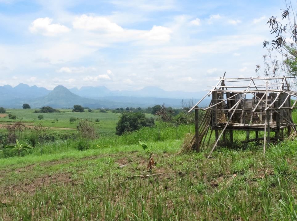
Satisfied that we found the place or were within 200 yard radius of it, we broke some ground. I took a soil sample to bring back to Joe Calugas, Jr. President of the Philippine Scouts Heritage Society. (this is for you Joe!) Thank you Karl for your tireless scouting and hiking, guidance.
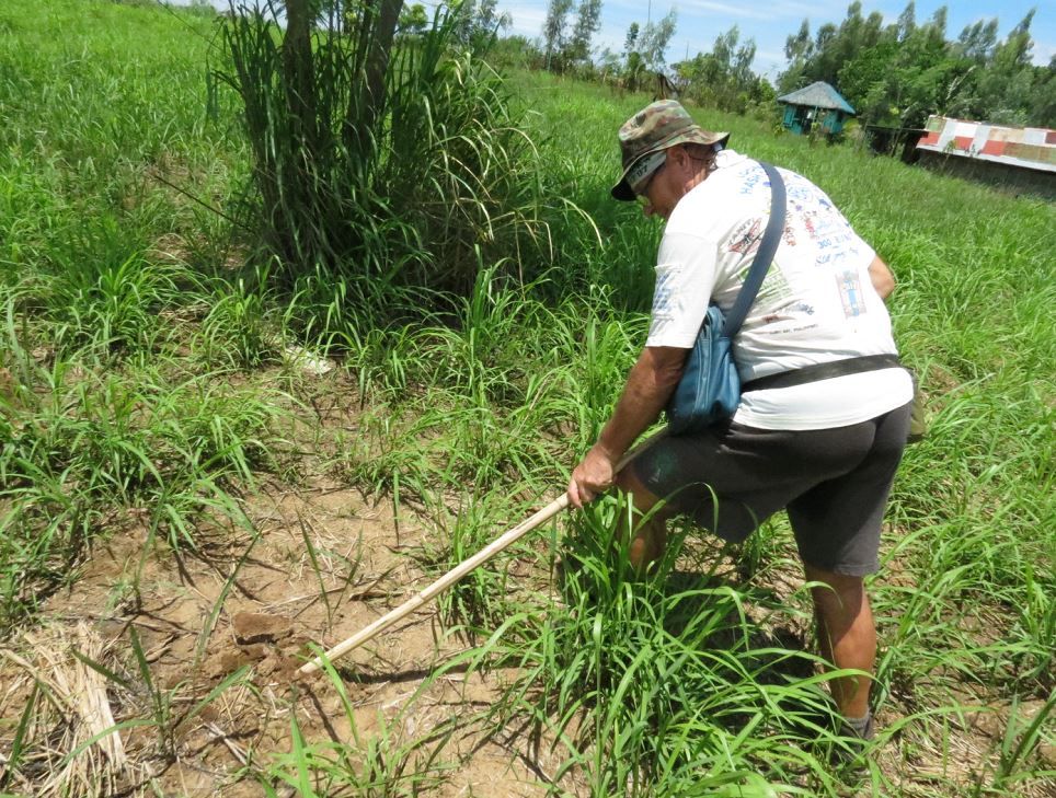
Mission accomplished. Leaving for Mabatang…
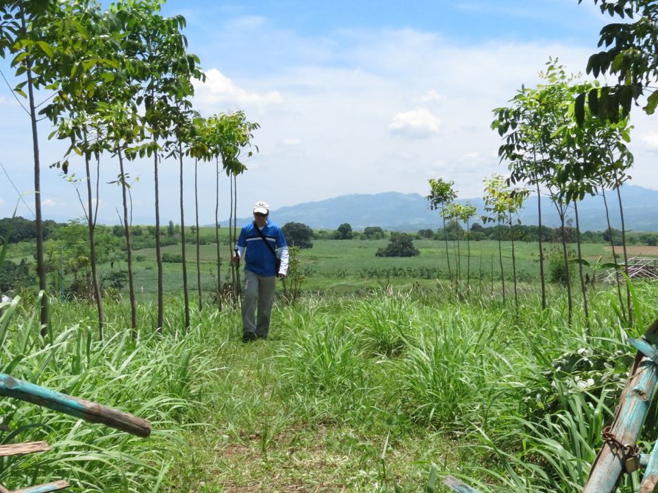
Karl just checking out a nearby dirt road on our way out
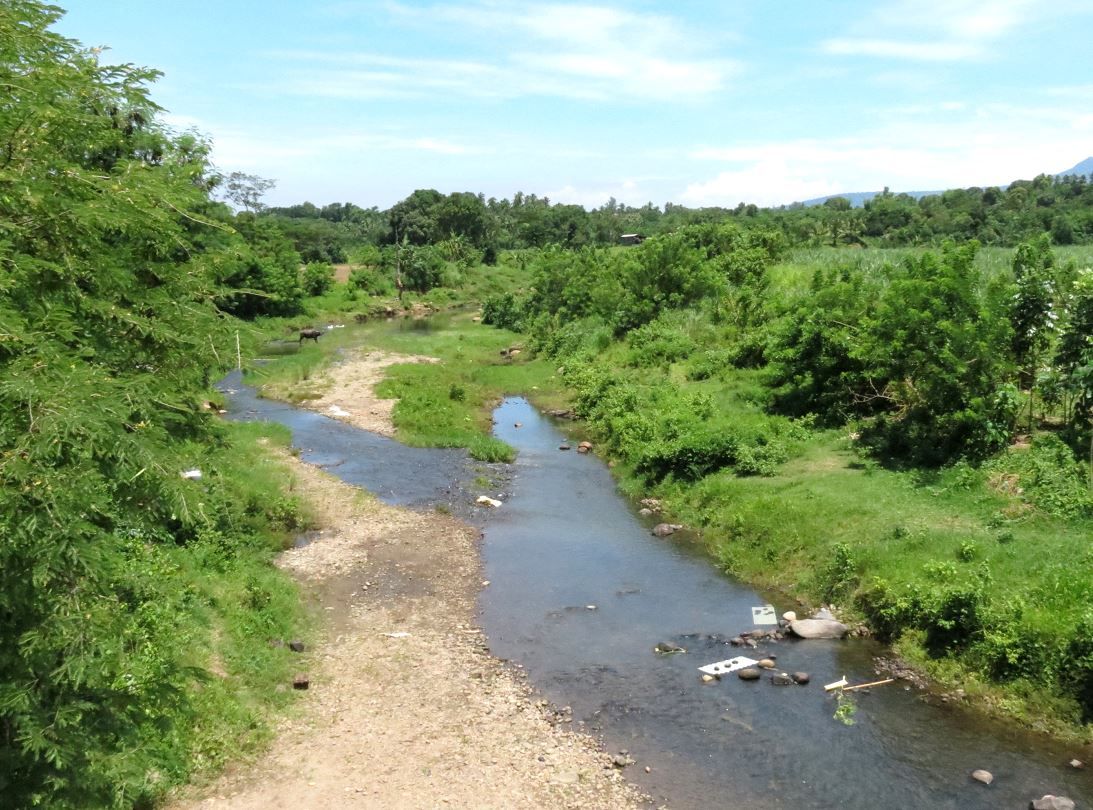
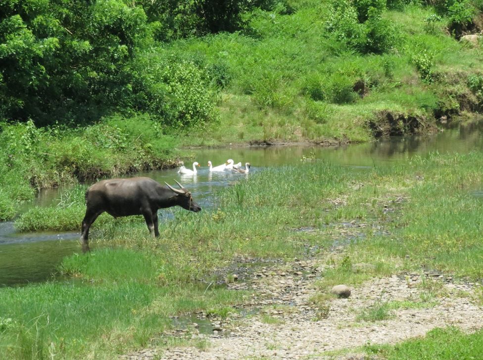
We crossed the Tama river on the way back. It occurred to me that the headquarters company was further down the trail and lower in elevation. The artillery batteries were the ones that went up the trail further and higher in elevation. The description that there was a dry river bed with 4-5 foot banks about 40 yards to the south of the headquarters personnel, jives with the Tama river. These pictures are of a section of the river that runs north/south, but it bends to the west not too far away.
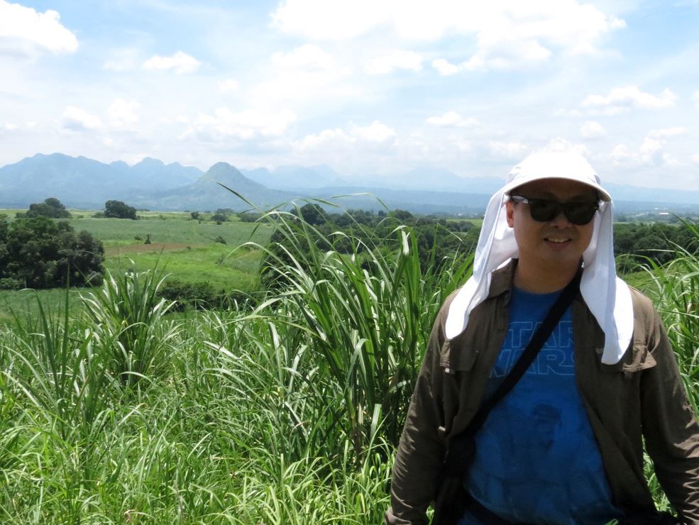
This is Renan, my doctor friend. Buddies since kindergarten. His grandfather was an artillery officer with the 21st PA Division in Bataan. I wanted to swing by Mabatang to show him where his lolo’s artillery unit supported the embattled 57th Infantry Scouts.
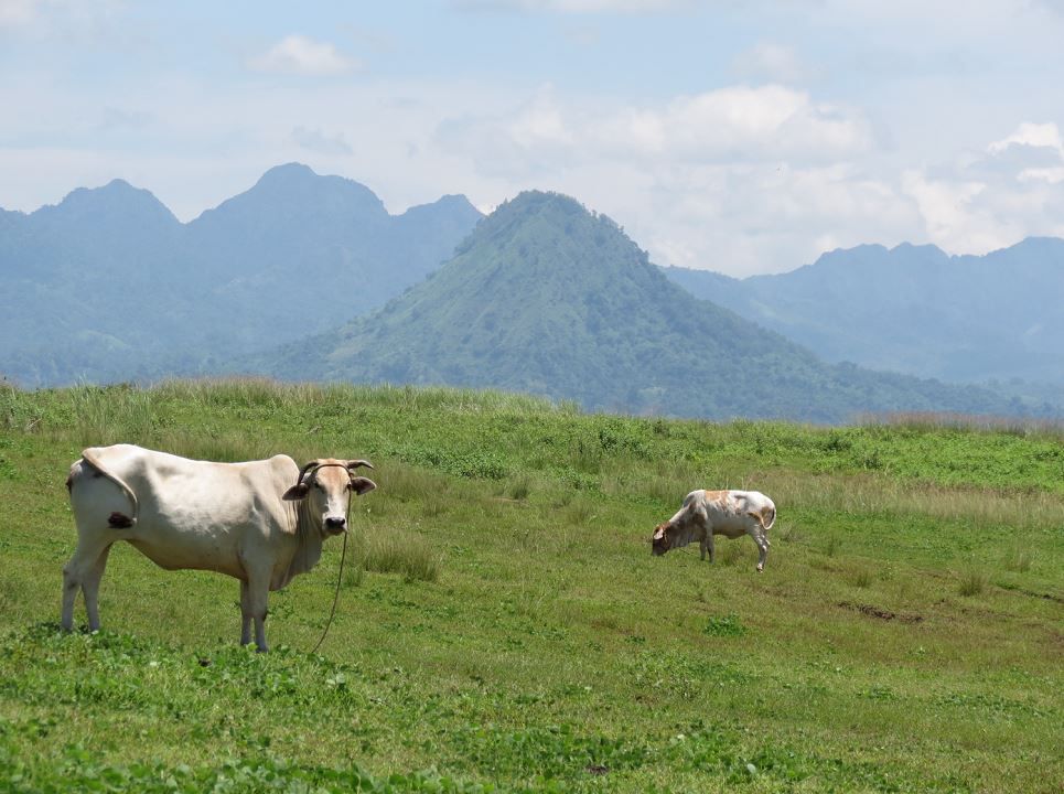
Bonus photo. Mt. Malasimbo and the cows looked so cool.
