

Battery Point visit on February 16, 2024
Feb 19, 2024 12:40:12 GMT 8
Karl Welteke and chadhill like this
Post by Hounddog on Feb 19, 2024 12:40:12 GMT 8
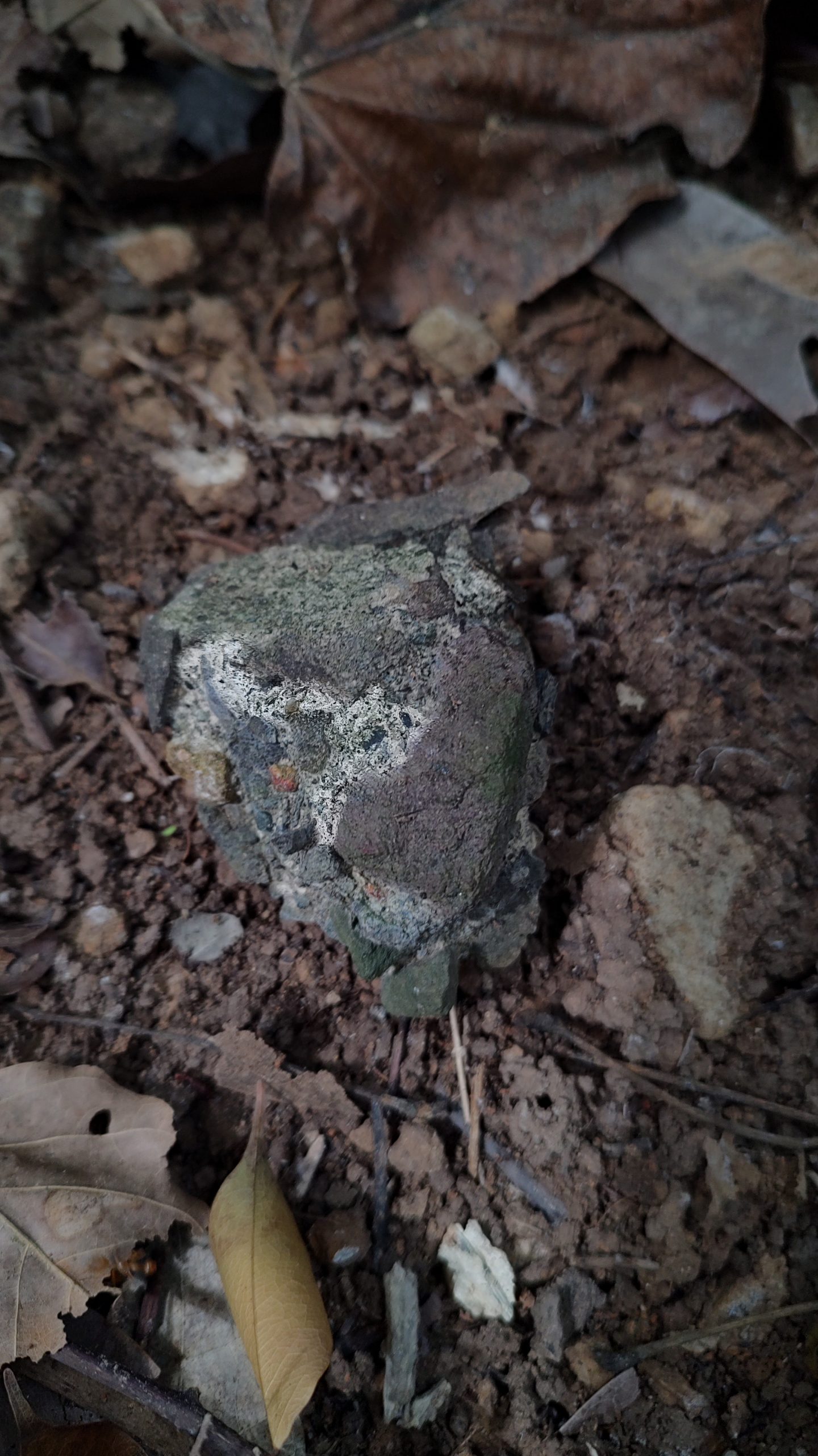
My new friend Tim accompanied me on my visit of the Battery Point area this day, to help me search for any remains of the Bombproof Infantry Quarters, a tunnel I have been unashamedly obsessed with since 2002. We began our search on the North Shore Road, which had been recently cleared, and used our map and a landscaping measuring tape to locate the approximate location of what should be the rear airshaft cupola. Upon picking our target location we immediately found chunks of concrete lying around on the surface. Remains of the cupola?
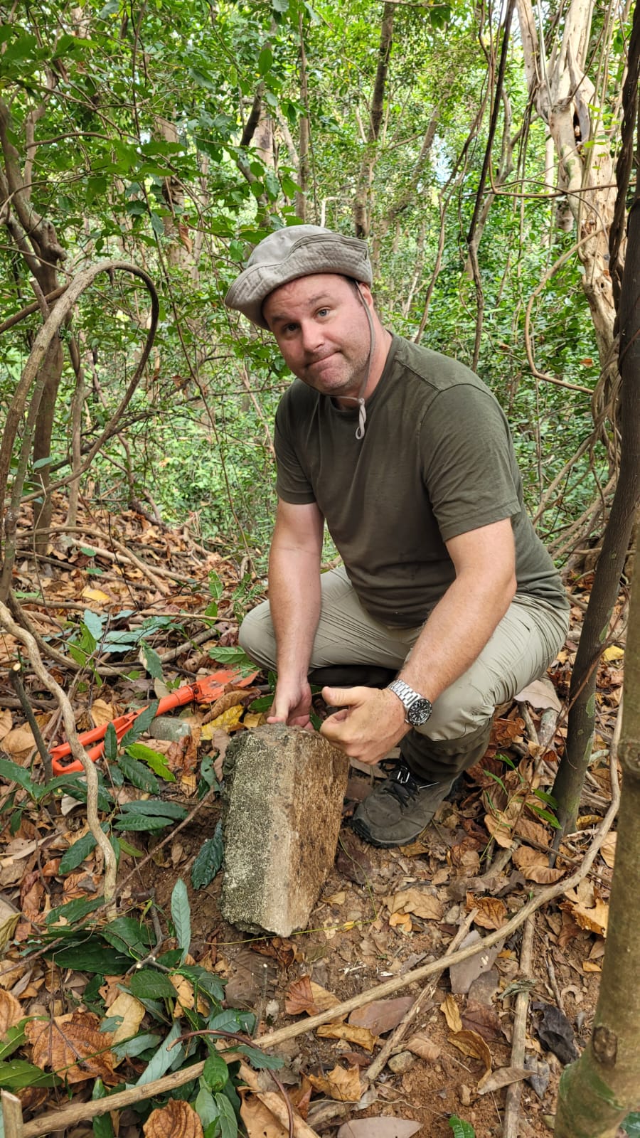
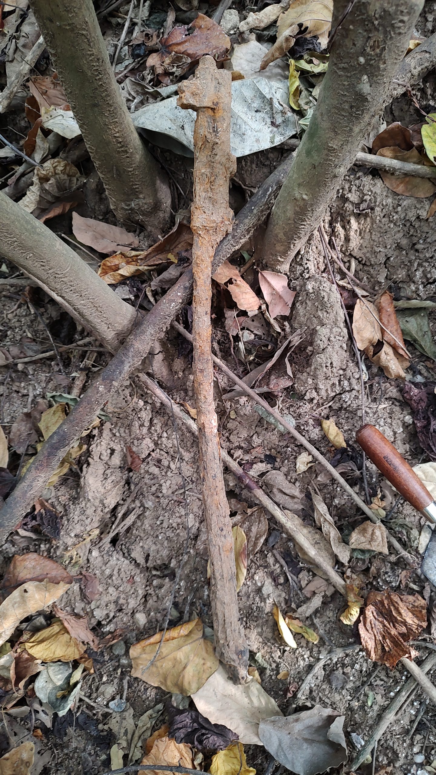
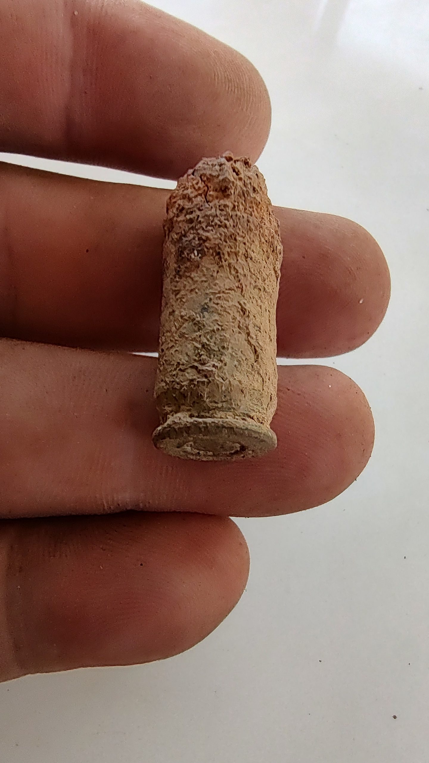
We began lightly digging in this area, hoping to locate the concrete foundation and outline of what was once a deep 4'x4' airshaft. Unfortunately we didn't find much sign of it. Remains of a rifle barrel and a live .45 caliber bullet popped up, but no obvious airshaft tunnel exit or additional cupola fragments were found. Perhaps these remains lay much deeper under the soil? A search with a powerful metal detector in the future would be useful to help detect the iron rebar in the concrete.
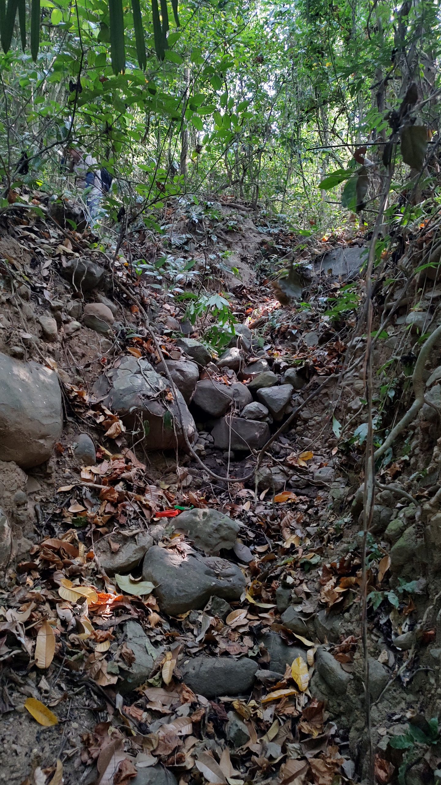
Next we decided to follow the heavily overgrown "road" down towards Searchlight #1 and what is supposed to be the path to the bombproof tunnel. The road was difficult to push through and it took quite a bit of effort, but we managed to make it all the way to the end, and stopped at the rain culvert marked on the map. This rain culvert was dug up by Danny Howell in the early 2000's, as I understand, in his effort to locate the missing infantry tunnel.
Measuring from the rain culvert, I ran my tape up the rocky dry creek bed to around the 75' mark, and then, following the creek, curved left towards a fairly sharp "V" shaped ravine.
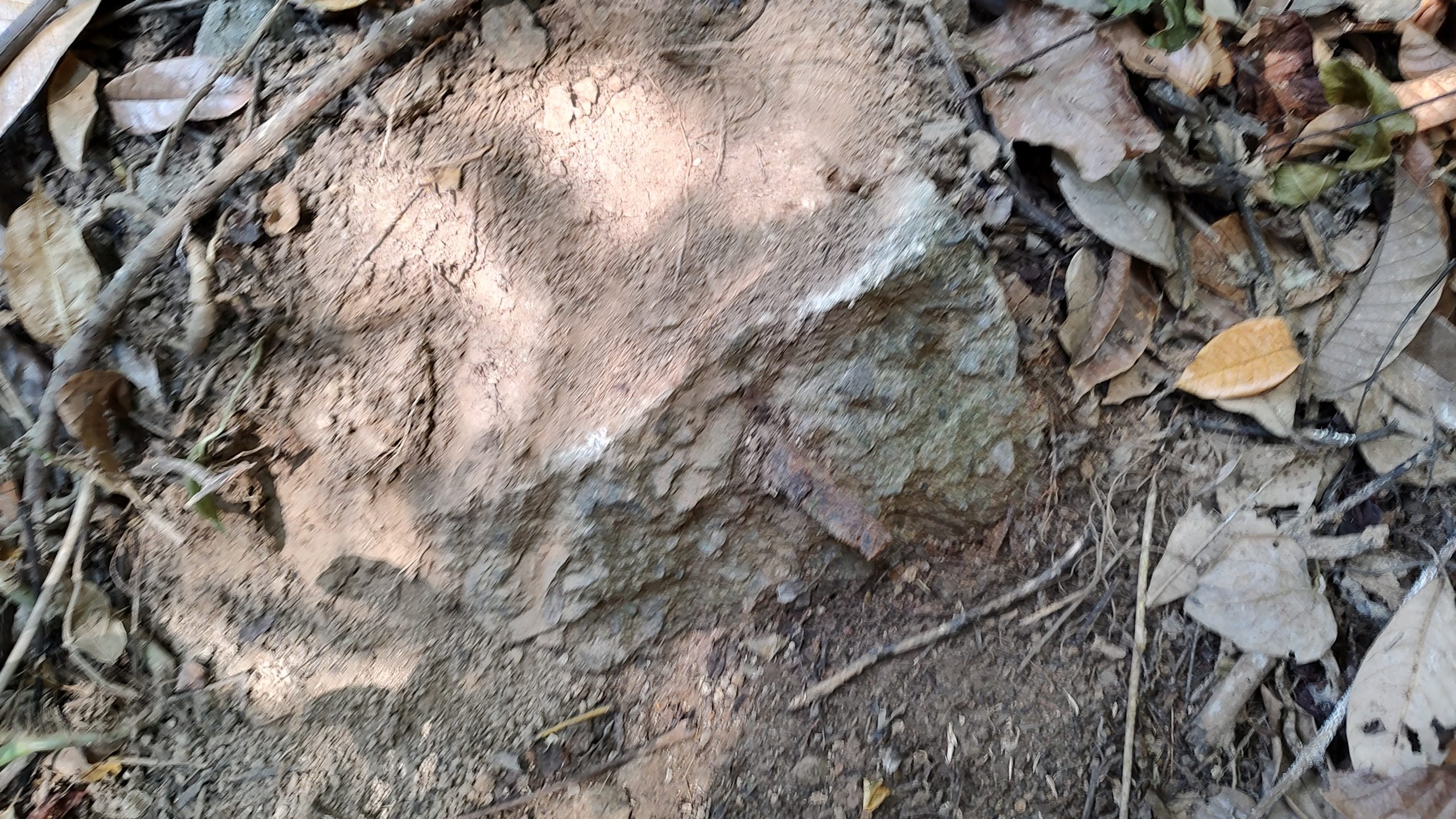
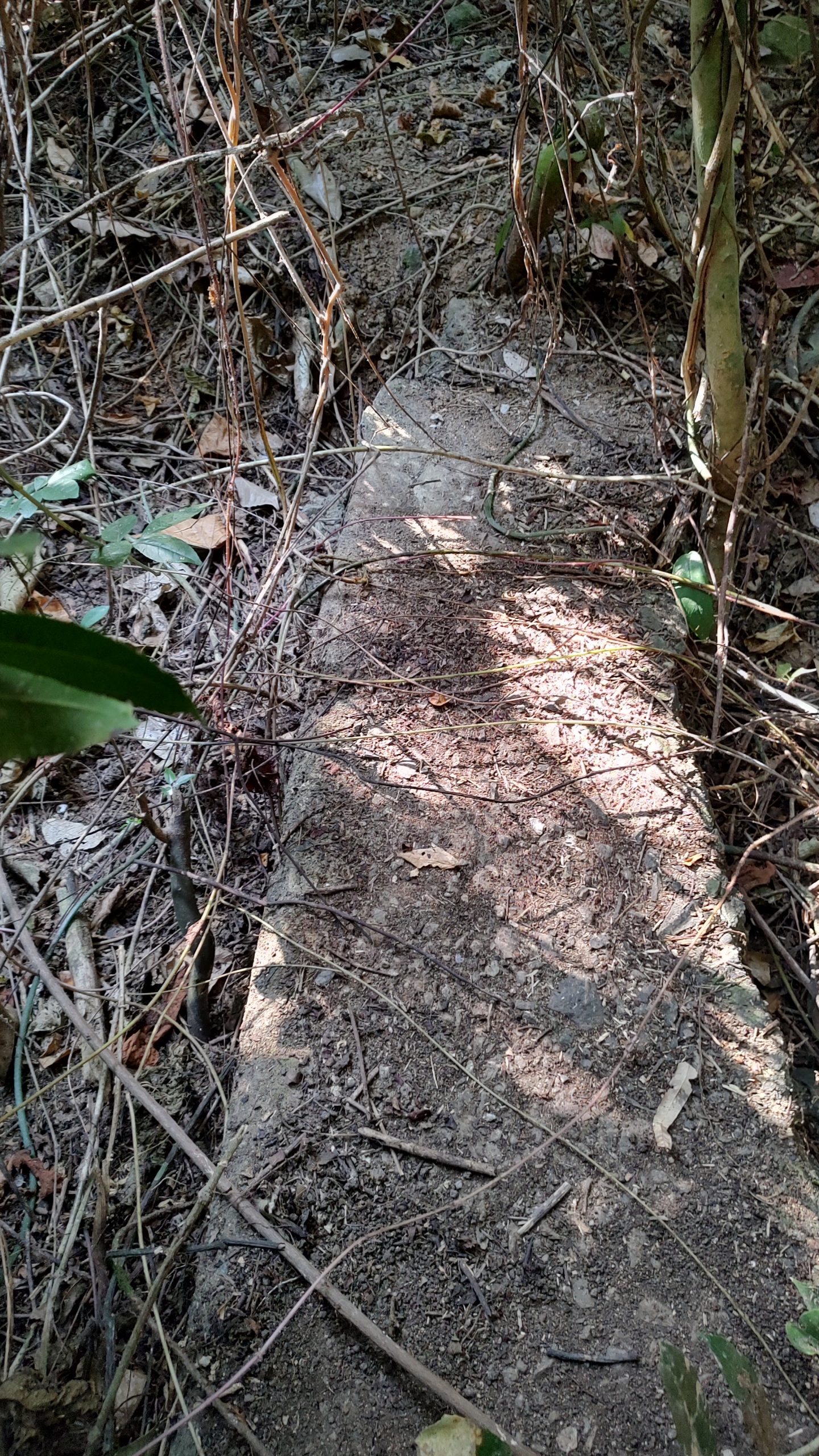
At this point, the measuring tape read about 125' or what should have been the start of the entrance area to the missing tunnel. Here we were first greeted by only rocks, boulders, dirt and jungle. But upon more careful inspection, Tim spotted some concrete and rebar further up on the left side of the creek bed. Could this concrete have been part of a walkway and or stairs leading down to the tunnel entrance? Excavation and examination of this concrete will be needed in order to determine the answer.
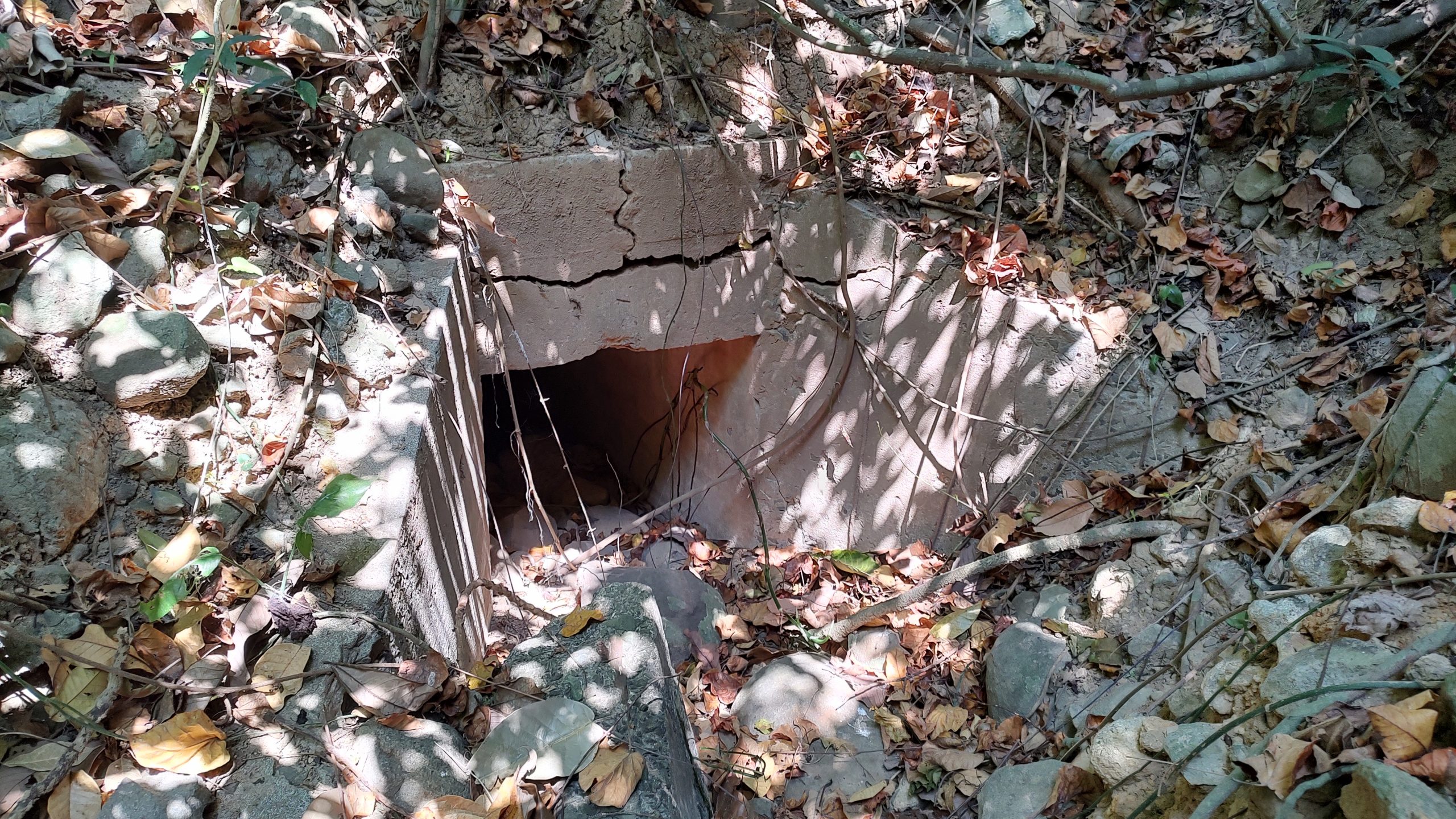
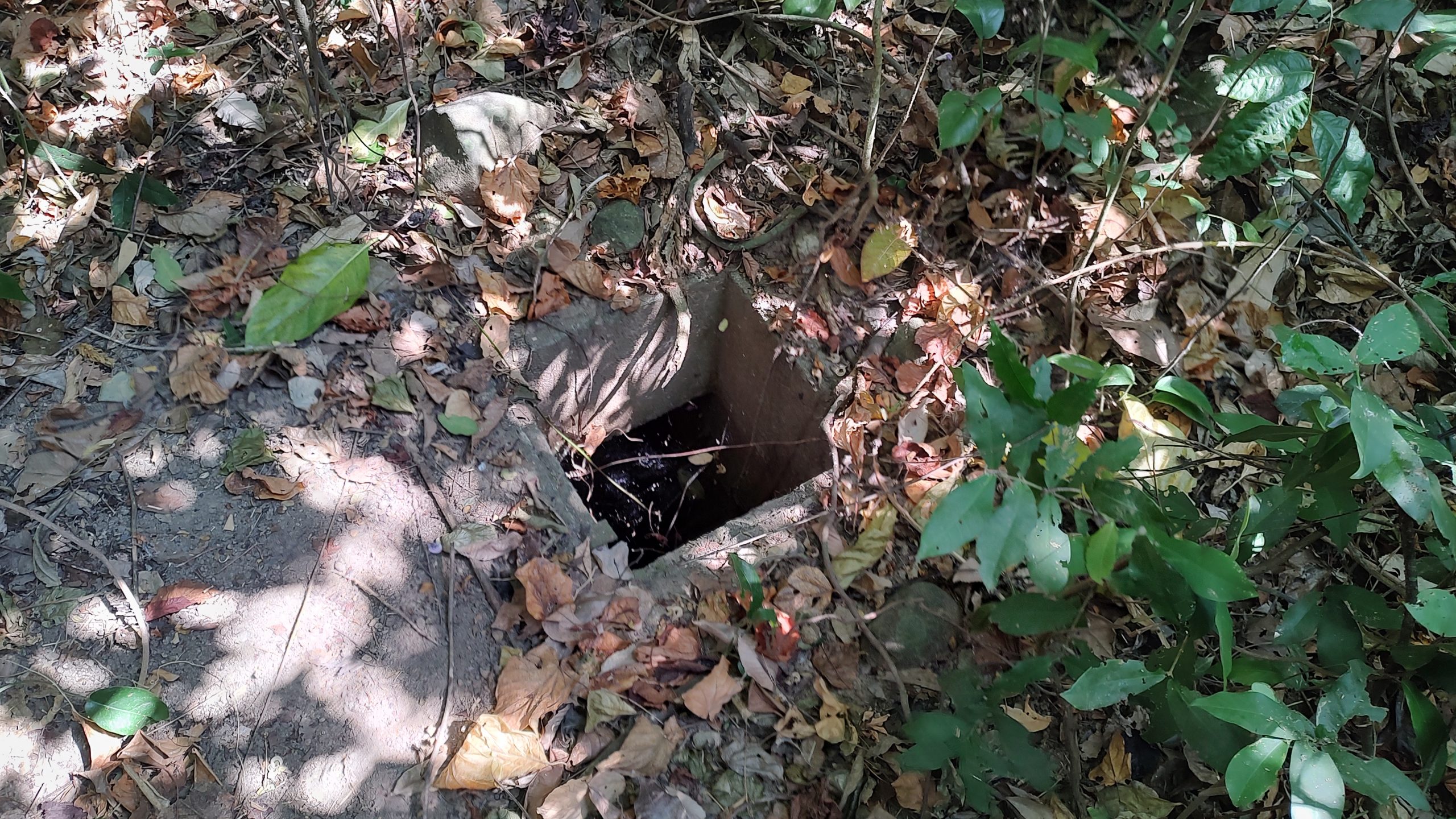
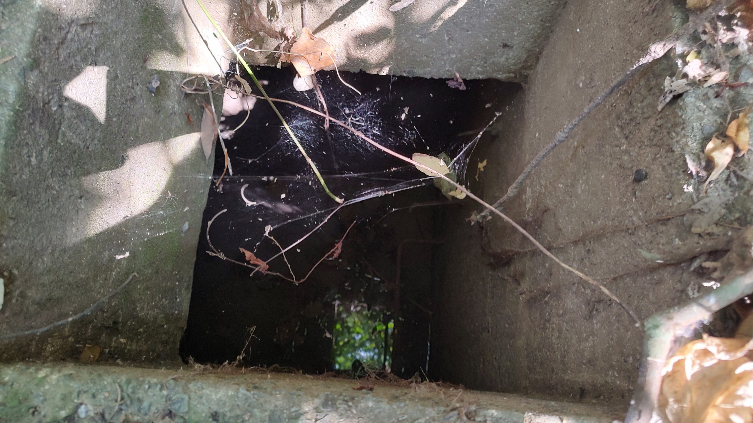
We fanned out and searched for the remains of the closer airshaft cupola, as indicated on the blueprints for the tunnel. Again, we came up empty handed, but Tim did spot what I believe is a water cistern. The cistern has a concrete pad foundation on the surface, with a 2'x2' opening that drops down approximately 8' or so. Inside, it widens out to from a square water storage tank. I saw a rusty feed pipe entering the tank from the south, a space, and then another pipe, outgoing on the north wall of the tank, which I believe passed the water along. There was remains of steel rungs of a ladder, descending into the cistern. We dropped a rock into the standing water in the bottom of this cistern and also prodded it with a long tree branch. It definitely was only a few inches deep at the bottom. I surmised this could have been the water supply for the latrine in the tunnel below, as it seemed to be situated above the latrine area, based on my rough assessment of the map and the terrain. Here's some photos of the cistern.
Another discovery was some additional concrete further above (south?) of the cistern site. At first it appeared to be a skinny footbridge of sorts, complete with the remains of a short handrail pipe, but then Tim suggested that it could have been a small dam, designed to trap water for use in the cistern further down the hill.
Tim "bush-bashed" his way through the pathway back towards the rain culvert area, and we called it a day at that point. With all our efforts, we could not locate definitive remains of either of the air shaft cupolas, or even a fragment of the concrete used in the entrance of the tunnel. It must truly be buried under a lot of earth and rock. And thus the mystery continues...
-Kevin Strahm (Hounddog)
We began lightly digging in this area, hoping to locate the concrete foundation and outline of what was once a deep 4'x4' airshaft. Unfortunately we didn't find much sign of it. Remains of a rifle barrel and a live .45 caliber bullet popped up, but no obvious airshaft tunnel exit or additional cupola fragments were found. Perhaps these remains lay much deeper under the soil? A search with a powerful metal detector in the future would be useful to help detect the iron rebar in the concrete.
Next we decided to follow the heavily overgrown "road" down towards Searchlight #1 and what is supposed to be the path to the bombproof tunnel. The road was difficult to push through and it took quite a bit of effort, but we managed to make it all the way to the end, and stopped at the rain culvert marked on the map. This rain culvert was dug up by Danny Howell in the early 2000's, as I understand, in his effort to locate the missing infantry tunnel.
Measuring from the rain culvert, I ran my tape up the rocky dry creek bed to around the 75' mark, and then, following the creek, curved left towards a fairly sharp "V" shaped ravine.
At this point, the measuring tape read about 125' or what should have been the start of the entrance area to the missing tunnel. Here we were first greeted by only rocks, boulders, dirt and jungle. But upon more careful inspection, Tim spotted some concrete and rebar further up on the left side of the creek bed. Could this concrete have been part of a walkway and or stairs leading down to the tunnel entrance? Excavation and examination of this concrete will be needed in order to determine the answer.
We fanned out and searched for the remains of the closer airshaft cupola, as indicated on the blueprints for the tunnel. Again, we came up empty handed, but Tim did spot what I believe is a water cistern. The cistern has a concrete pad foundation on the surface, with a 2'x2' opening that drops down approximately 8' or so. Inside, it widens out to from a square water storage tank. I saw a rusty feed pipe entering the tank from the south, a space, and then another pipe, outgoing on the north wall of the tank, which I believe passed the water along. There was remains of steel rungs of a ladder, descending into the cistern. We dropped a rock into the standing water in the bottom of this cistern and also prodded it with a long tree branch. It definitely was only a few inches deep at the bottom. I surmised this could have been the water supply for the latrine in the tunnel below, as it seemed to be situated above the latrine area, based on my rough assessment of the map and the terrain. Here's some photos of the cistern.
Another discovery was some additional concrete further above (south?) of the cistern site. At first it appeared to be a skinny footbridge of sorts, complete with the remains of a short handrail pipe, but then Tim suggested that it could have been a small dam, designed to trap water for use in the cistern further down the hill.
Tim "bush-bashed" his way through the pathway back towards the rain culvert area, and we called it a day at that point. With all our efforts, we could not locate definitive remains of either of the air shaft cupolas, or even a fragment of the concrete used in the entrance of the tunnel. It must truly be buried under a lot of earth and rock. And thus the mystery continues...
-Kevin Strahm (Hounddog)

