Post by fots2 on Sept 26, 2009 14:43:23 GMT 8
Today our little trip will take us from Bottomside around the whole eastern section of Corregidor and returning to Bottomside.
(Note that these photos were taken during many trips to the island at different times of the year with good and not so good weather).

Corregidor Island with the eastern section in the foreground.
This area was always uninteresting to me until I learned more about it. From what I have heard and from my own experience, the east part of Corregidor is still much less travelled than the western end. Since the big guns are what made Corregidor famous, I expect that this is due to the fact that there are no big gun batteries here at all.
There was one 8 inch gun (Battery RJ43) but it and all smaller caliber ones have long since been removed. As a little trivia, that 8 inch barrel is now on display at the North Dock. Tourists walk by it every day when they get off and on the ferry and have no idea what it is.

The 8 inch barrel from Battery RJ43 on display at the North Dock.
Not one single gun still exists in its original location. The only guns to be seen at all are on display at the Japanese Peace Park. (don't ask why there are guns are at a peace park).
So why is this area still interesting? Here is a sample of things to be found east of and not including Malinta Hill: 7 tunnels I can think of at the moment, the final 1941 concrete defensive positions, hastily built defensive positions, original foxholes and earth trenches, anti-aircraft and coastal defense gun blocks, underground magazines, early 1917 to 1919 positions and command posts. There are senior officer's quarters but they are kind of boring, nothing to see but concrete foundations and a sink or two.
Note that I am only listing places that I have been to. The maps show lots more structures etc. There are even two old cemeteries that I'll have a look at for okla.
The only drawback to exploring the east end is the fact that the island manager told me that there are lots of Philippine cobras past Kindley Field. On one hand they are not encountered often but on the other hand, they are the 3rd most venomous snake in the world.
Ok, the banca is waiting. Again, we will depart from the North Dock and return via the South Dock.
On leaving North Dock, Malinta Point is already in view. This is the first of a series of very distinctive points you see until you get past Kindley Field. From there the island has no real distinguishable features until near the end, just a gradual turn to the south.

North Dock is to the left and Lorcha Dock is the one visible at mid right. The North Shore Road winds around Malinta Point.

View of all five north side points from Bottomside to Kindley Field. From bottom to top, they are Malinta Point, Engineer Point, Artillery Point, Infantry Point and Cavalry Point. There is one more called North Point just past Kindley Field but it is no more than a slight turn in the coastline. In this photo, you can also see the west entrance of Malinta Tunnel in the shadows at the bottom right, the sandy beach at the 92nd Garage area and the western tip of Kindley Field at the top.
There are four Japanese dug caves at beach level in the first two coves. They are mostly straight in and not very long, the longest being about 30 feet. I have been told they were for the Japanese Shinyo (suicide) boats. If so, it was a very tight fit in those narrow caves. There are many of these little caves around the island.

View from Malinta Point looking at Engineer Point. Notice one of the Japanese caves straight ahead.

Looking back (west) at Engineer Point.

Looking ahead (east) to Artillery and Infantry Points.

Three Japanese caves between Artillery and Infantry Points

Close up view of the middle cave entrance

Western section of the Officer's swimming beach between Artillery and Infantry Points

At the bottom you can see the eastern section of the beach between Infantry and Cavalry Points. Middle left is Cavalry Point with North Point just above it. Between these two points, adjacent to Kindley Field, is the location of the Japanese invasion landings in 1942.

This view shows more detail of the eastern portion of Corregidor Island. Near the right end of Kindley Field, the coastline takes an abrupt curve towards the south. This is North Point. A second curve further down the coast is not named.
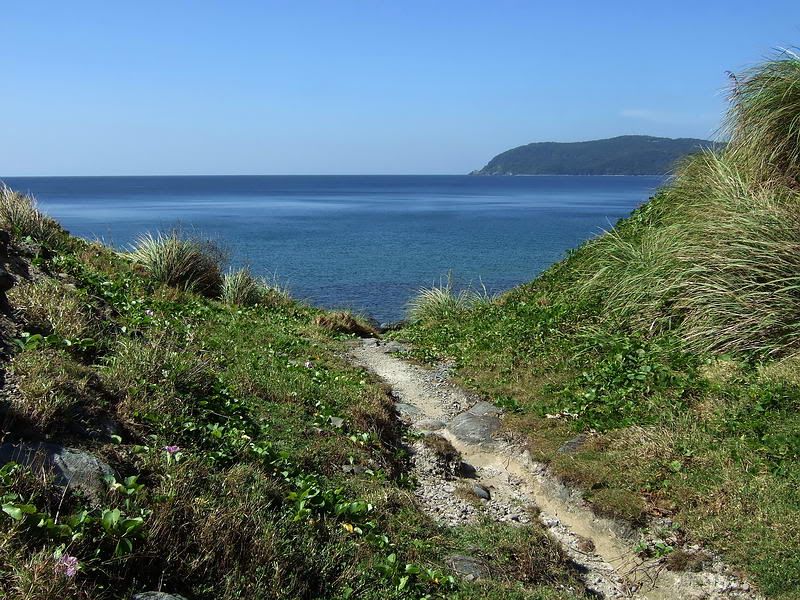
The eastern tip of mainland Corregidor is called 'East Point' and the eastern tip of the little island on the end is called 'Hooker Point'. On the 1935 map, this little island is named Razor Island and at low tide, you can walk between them.

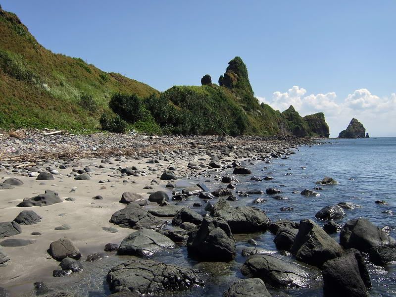
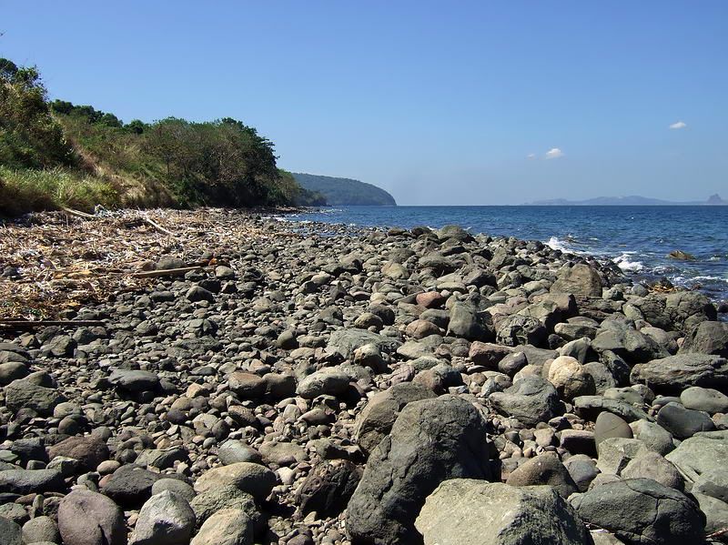
This is the straight section of coast as you look back towards North Point.

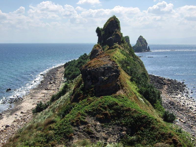
Approaching the end of the island.

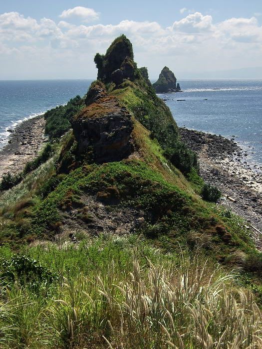
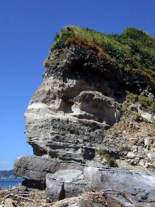
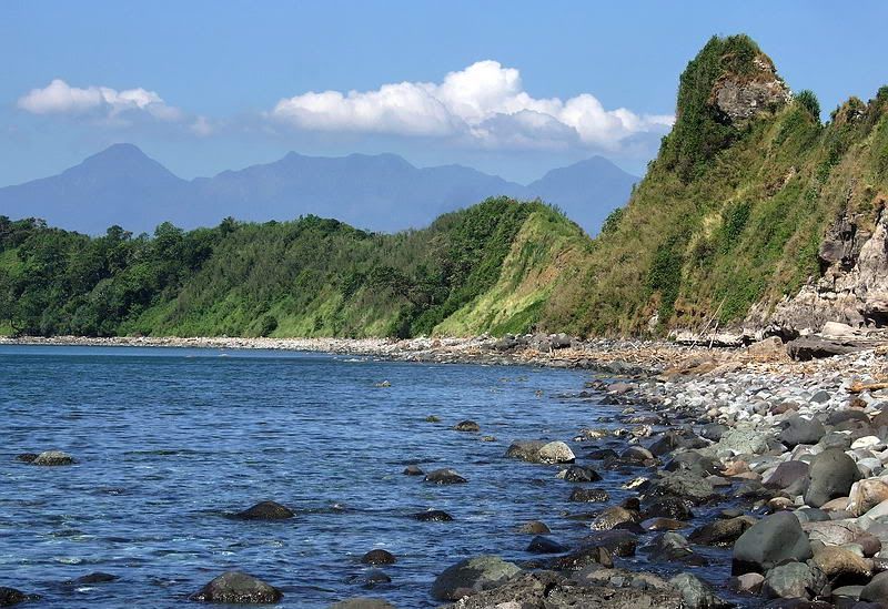
Close-up view of the highest part of the island in this area.

The tip of 'mainland' Corregidor.
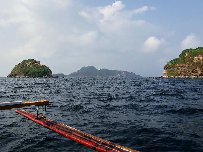
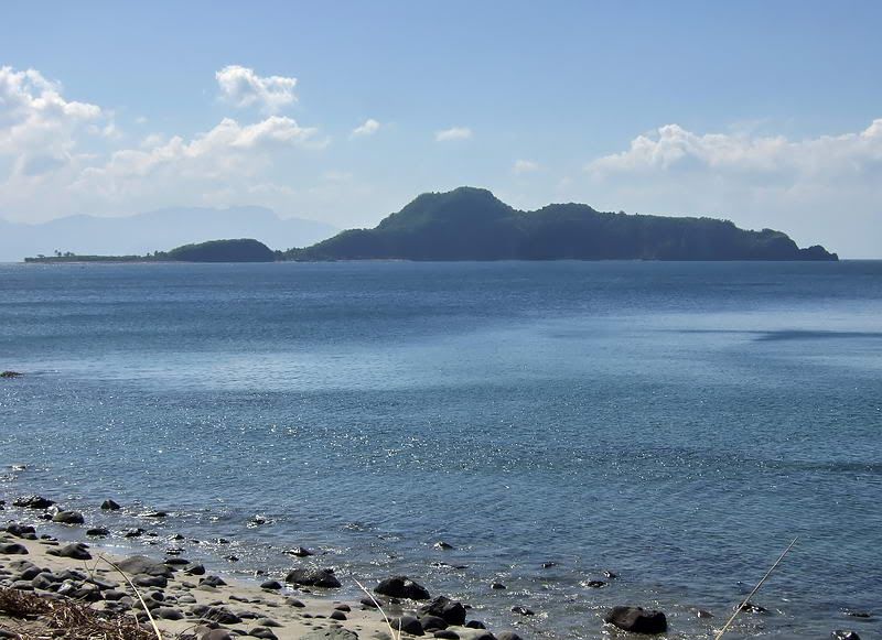
View of the tip of mainland Corregidor and Razor Island. Caballo Island (Fort Hughes) is in the distance.
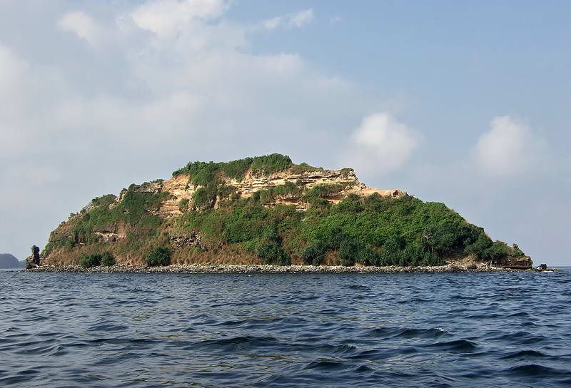
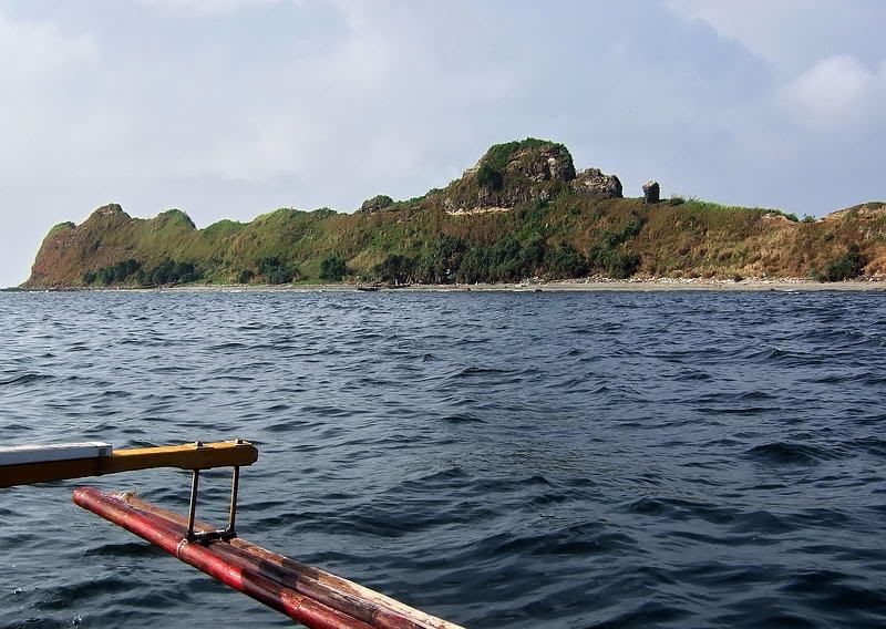
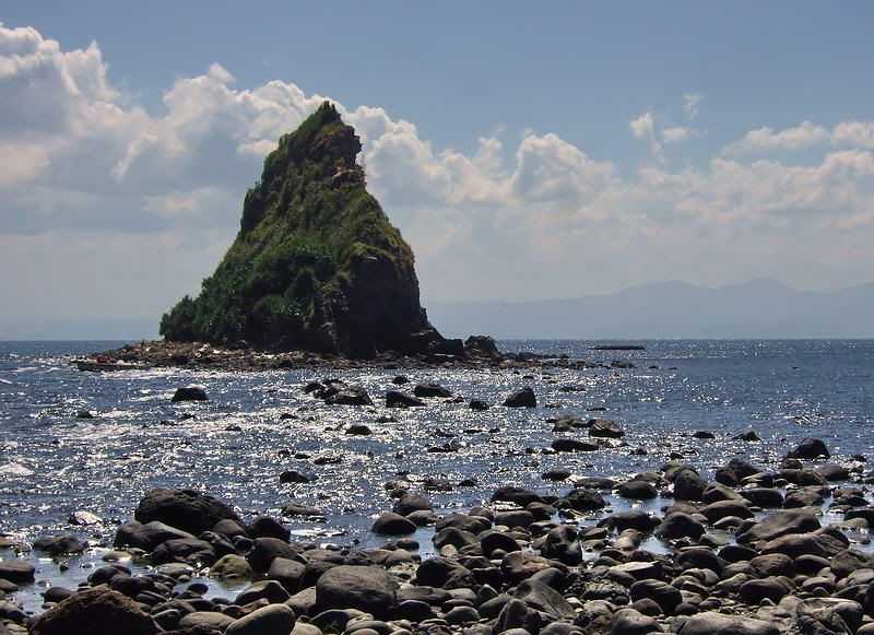
Side view of Razor Island.
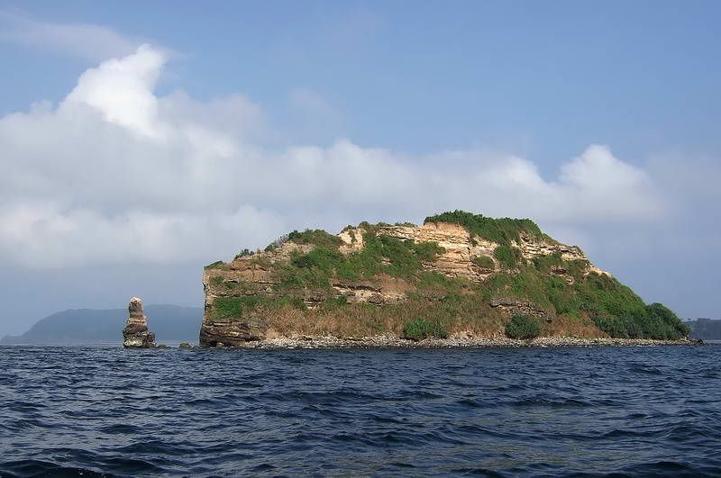
The official eastern tip of Corregidor Island (looking west).
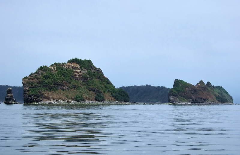
Passing by the end of the island, the curved tail of Corregidor can be seen in the background.
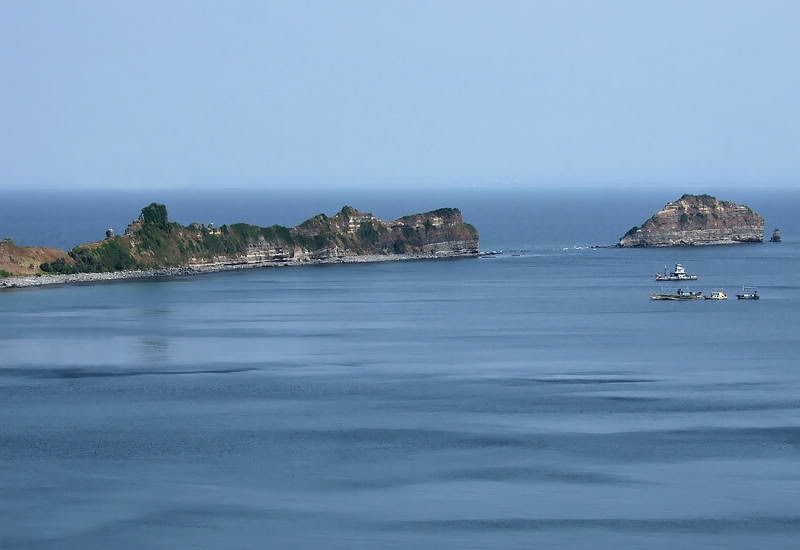
Heading towards our destination of the South Dock, we turn west around the tip of the island. Here is a view of the opposite side of the eastern tip of Corregidor (looking east).

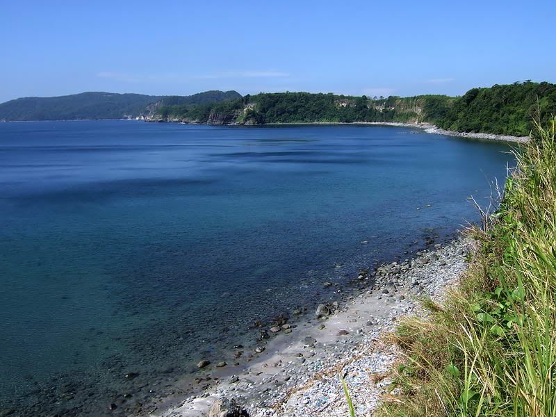
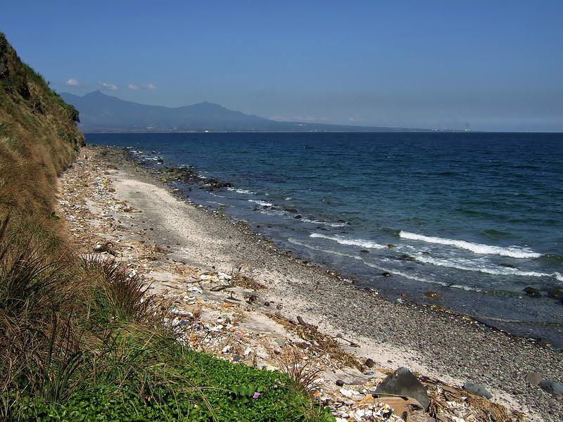
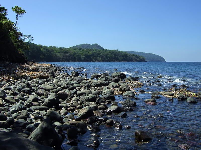
From the eastern tip all the way to Kindley Field, the coast is a gentle curve except for one little un-named bump. This view is from beside Kindley Field looking east.
Continuing on, the first landmark we come to is Monkey Point. Actually there are a few points very close together here but only the first one (Monkey Point) is named. A short ways inland is the location of the Navy Radio Intercept Tunnel.

Monkey Point

Looking down at this section of the south coast, you can see the points close together with Monkey Point being farthest to the right. Hidden in the trees at the bottom left is Battery Maxwell Keyes. It had dual 3 inch pedestal mounted coastal guns with an underground magazine in between them. Everything is still there except the actual guns.

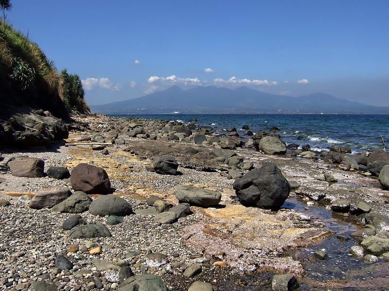
This is the view from beside Battery Maxwell Keyes looking west towards Ordnance Point. Other small points along this coast are not named. The large western section of Corregidor is in the distance.
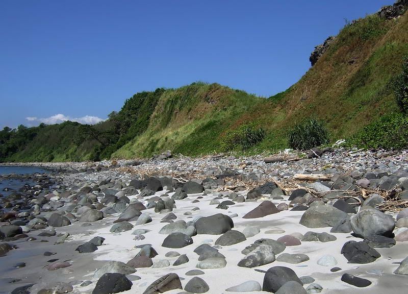
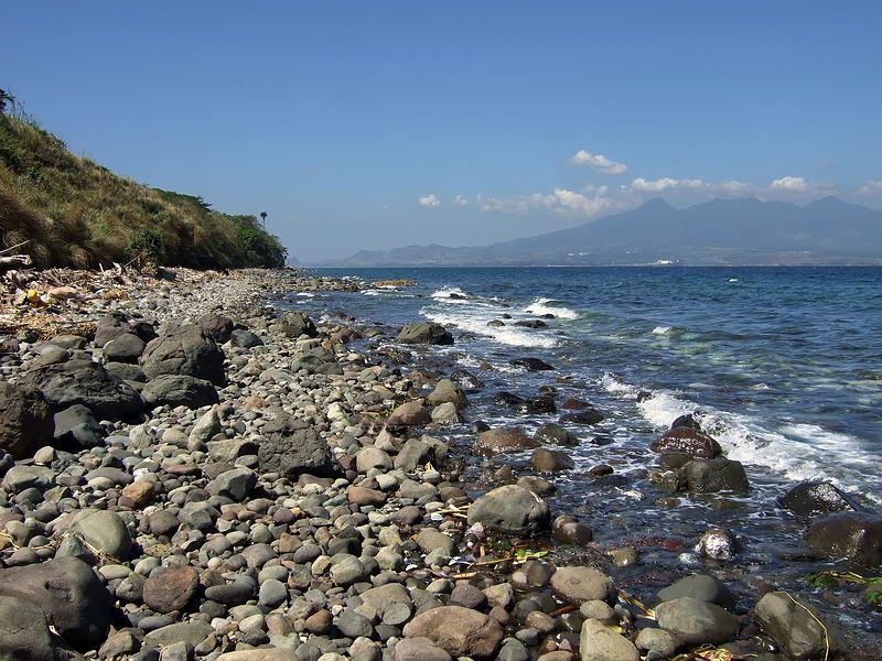
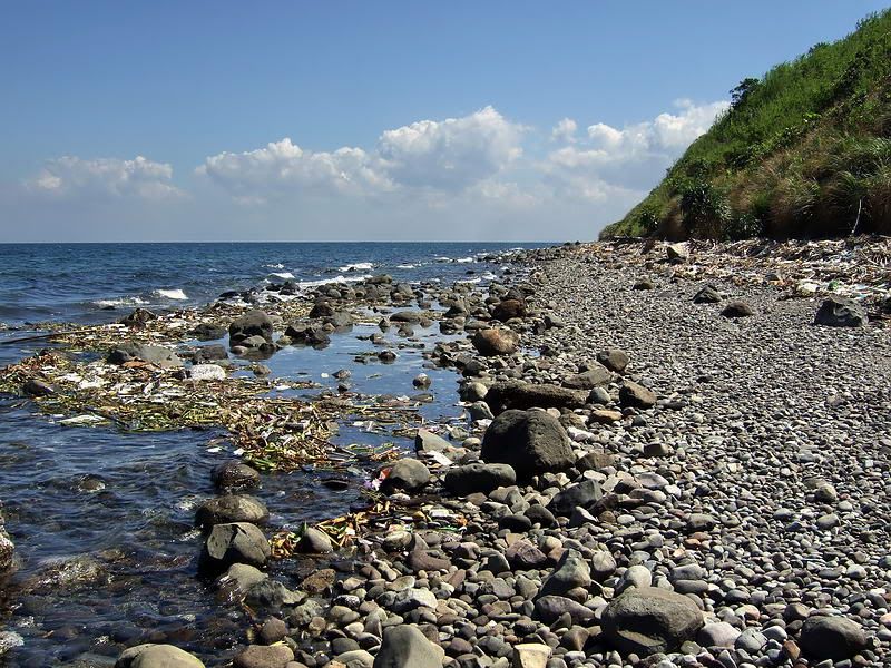
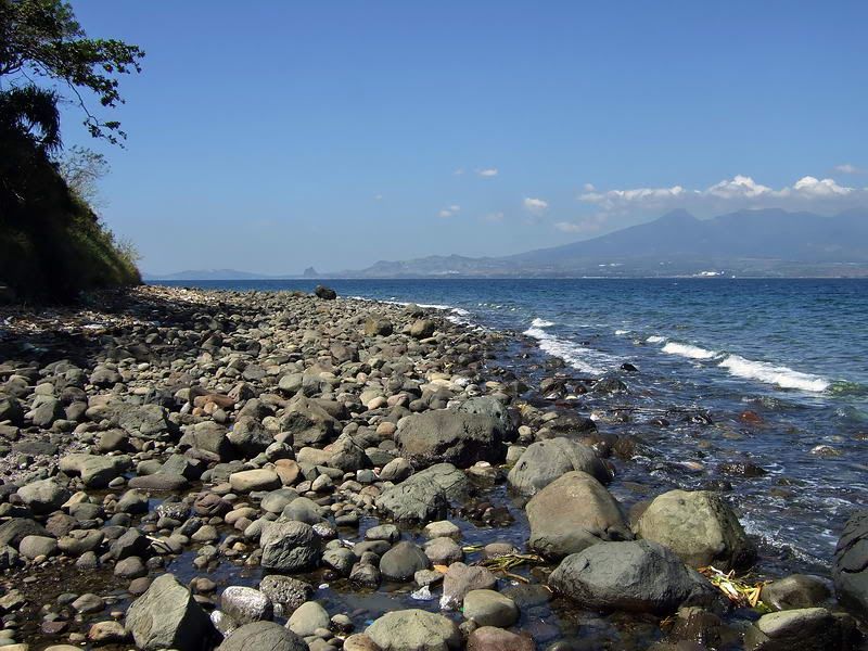
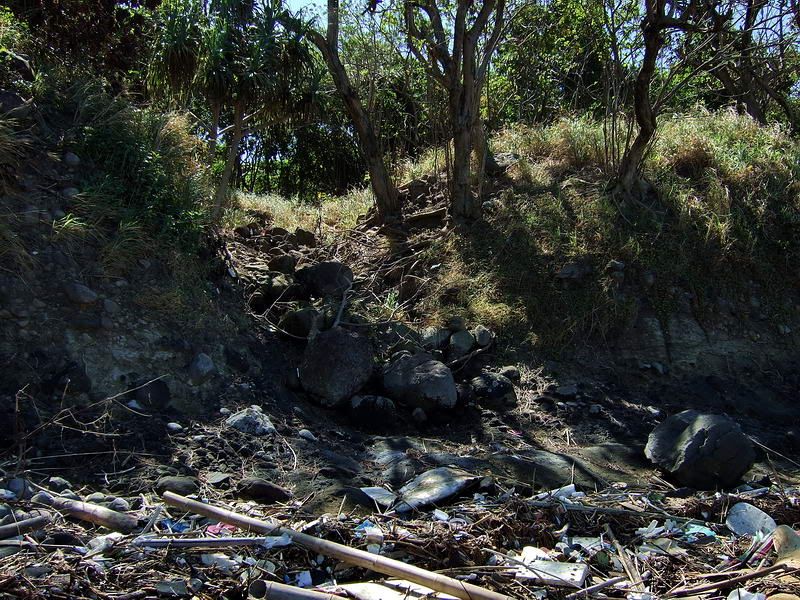
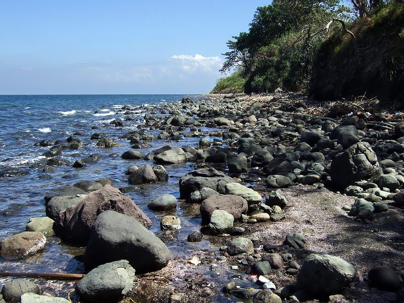
Corregidor's beaches have something called 'blood stones'. The stones have reddish streaks or stains that are a dull red when dry but a much deeper looking red when they are wet. The red is actually iron deposits in the rock.
Tour guides tell tourists that they represent all the blood shed on this island during its violent history. Although they can be found on both coasts of Bottomside, they have been picked over quite well by years of visitors collecting them. Remote beaches have numerous bloodstones of all sizes.

Dry bloodstones on the rocky beaches of Corregidor.

This is a view looking back along the coast (east). At the bottom is Camp Point with Ordnance Point at mid right. Above these points is the Japanese Memorial Garden. One of the guns I mentioned earlier can be seen in the middle of the field, the other ones are hidden from view by the trees. The un-named point at the top of the photo is where Battery Maxwell Keyes is located.

Camp Point to the left, Ordnance Point to the right and the Japanese Memorial Garden above it.

Some of the guns hidden by trees in the previous photos.

The view from Camp Point looking at Ordnance Point. The eastern tail of the island is in the distance.

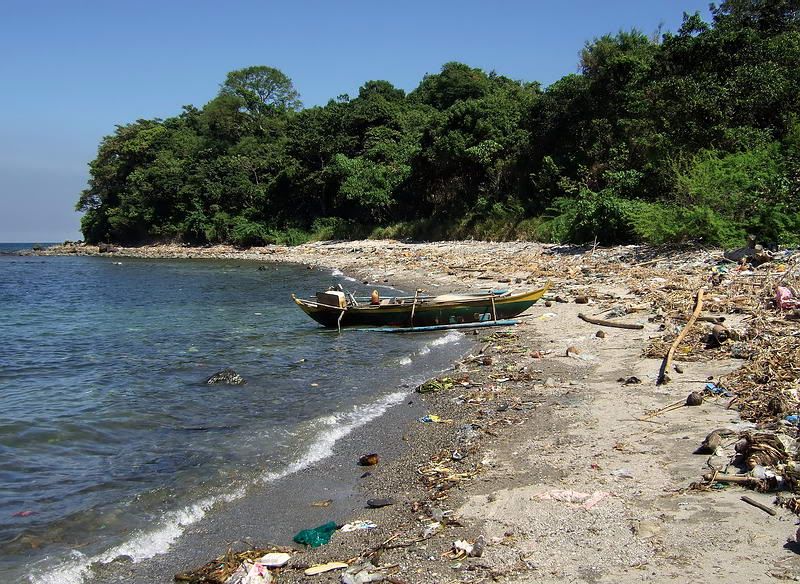
Coming around Camp Point brings us to the 92nd Garage area. A resort/casino was built here years ago but I don't know if it ever opened or how long it lasted. I have been going to Corregidor since 1997 and I have never seen it operating. The grounds are maintained however the buildings are in disrepair. In the distance is the north eastern side of Malinta Hill.

View of the whole 92nd Garage area. How did thousands of POWs fit in here?

View of the whole 92nd Garage area.

From the Casino building looking south-east, you can see Caballo Island (Fort Hughes) in the distance.

Much of the sand on this side of the island is black from being volcanic in origin. It has a real salt and pepper look to it since Corregidor and Caballo Islands are part of an ancient volcano's caldera.

View from the beach at the 92nd Garage area looking west. Malinta Hill is directly in front of us and the western section of the island is past that.

Continuing on, we approach San Jose Point at the southern side of Malinta Hill.

Passing around Malinta Hill we see our destination, Bottomside's South Dock. This photo was taken in between rain showers earlier this year as a tropical storm was passing nearby. It is amazing how fast this island turns green again in the rainy season.

View from the South Dock looking north. The closest red roof is the Cove Cafe and behind it up on the hill is the Corregidor Inn. To the right is the steep western slope of Malinta Hill.
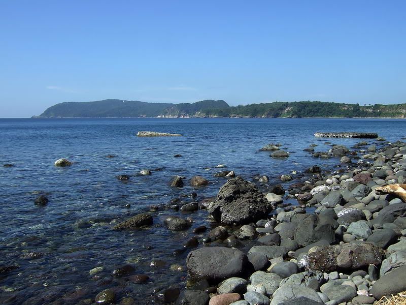
The day tour is great but you will not see many of these views. I hope a look at photos of the island's coastline will give you a good sense of both the ruggedness and beauty of Corregidor today.
(Note that these photos were taken during many trips to the island at different times of the year with good and not so good weather).

Corregidor Island with the eastern section in the foreground.
This area was always uninteresting to me until I learned more about it. From what I have heard and from my own experience, the east part of Corregidor is still much less travelled than the western end. Since the big guns are what made Corregidor famous, I expect that this is due to the fact that there are no big gun batteries here at all.
There was one 8 inch gun (Battery RJ43) but it and all smaller caliber ones have long since been removed. As a little trivia, that 8 inch barrel is now on display at the North Dock. Tourists walk by it every day when they get off and on the ferry and have no idea what it is.

The 8 inch barrel from Battery RJ43 on display at the North Dock.
Not one single gun still exists in its original location. The only guns to be seen at all are on display at the Japanese Peace Park. (don't ask why there are guns are at a peace park).
So why is this area still interesting? Here is a sample of things to be found east of and not including Malinta Hill: 7 tunnels I can think of at the moment, the final 1941 concrete defensive positions, hastily built defensive positions, original foxholes and earth trenches, anti-aircraft and coastal defense gun blocks, underground magazines, early 1917 to 1919 positions and command posts. There are senior officer's quarters but they are kind of boring, nothing to see but concrete foundations and a sink or two.
Note that I am only listing places that I have been to. The maps show lots more structures etc. There are even two old cemeteries that I'll have a look at for okla.
The only drawback to exploring the east end is the fact that the island manager told me that there are lots of Philippine cobras past Kindley Field. On one hand they are not encountered often but on the other hand, they are the 3rd most venomous snake in the world.
Ok, the banca is waiting. Again, we will depart from the North Dock and return via the South Dock.
On leaving North Dock, Malinta Point is already in view. This is the first of a series of very distinctive points you see until you get past Kindley Field. From there the island has no real distinguishable features until near the end, just a gradual turn to the south.

North Dock is to the left and Lorcha Dock is the one visible at mid right. The North Shore Road winds around Malinta Point.

View of all five north side points from Bottomside to Kindley Field. From bottom to top, they are Malinta Point, Engineer Point, Artillery Point, Infantry Point and Cavalry Point. There is one more called North Point just past Kindley Field but it is no more than a slight turn in the coastline. In this photo, you can also see the west entrance of Malinta Tunnel in the shadows at the bottom right, the sandy beach at the 92nd Garage area and the western tip of Kindley Field at the top.
There are four Japanese dug caves at beach level in the first two coves. They are mostly straight in and not very long, the longest being about 30 feet. I have been told they were for the Japanese Shinyo (suicide) boats. If so, it was a very tight fit in those narrow caves. There are many of these little caves around the island.

View from Malinta Point looking at Engineer Point. Notice one of the Japanese caves straight ahead.

Looking back (west) at Engineer Point.

Looking ahead (east) to Artillery and Infantry Points.

Three Japanese caves between Artillery and Infantry Points

Close up view of the middle cave entrance

Western section of the Officer's swimming beach between Artillery and Infantry Points

At the bottom you can see the eastern section of the beach between Infantry and Cavalry Points. Middle left is Cavalry Point with North Point just above it. Between these two points, adjacent to Kindley Field, is the location of the Japanese invasion landings in 1942.

This view shows more detail of the eastern portion of Corregidor Island. Near the right end of Kindley Field, the coastline takes an abrupt curve towards the south. This is North Point. A second curve further down the coast is not named.
The eastern tip of mainland Corregidor is called 'East Point' and the eastern tip of the little island on the end is called 'Hooker Point'. On the 1935 map, this little island is named Razor Island and at low tide, you can walk between them.

This is the straight section of coast as you look back towards North Point.

Approaching the end of the island.

Close-up view of the highest part of the island in this area.

The tip of 'mainland' Corregidor.

View of the tip of mainland Corregidor and Razor Island. Caballo Island (Fort Hughes) is in the distance.

Side view of Razor Island.

The official eastern tip of Corregidor Island (looking west).

Passing by the end of the island, the curved tail of Corregidor can be seen in the background.

Heading towards our destination of the South Dock, we turn west around the tip of the island. Here is a view of the opposite side of the eastern tip of Corregidor (looking east).

From the eastern tip all the way to Kindley Field, the coast is a gentle curve except for one little un-named bump. This view is from beside Kindley Field looking east.
Continuing on, the first landmark we come to is Monkey Point. Actually there are a few points very close together here but only the first one (Monkey Point) is named. A short ways inland is the location of the Navy Radio Intercept Tunnel.

Monkey Point

Looking down at this section of the south coast, you can see the points close together with Monkey Point being farthest to the right. Hidden in the trees at the bottom left is Battery Maxwell Keyes. It had dual 3 inch pedestal mounted coastal guns with an underground magazine in between them. Everything is still there except the actual guns.

This is the view from beside Battery Maxwell Keyes looking west towards Ordnance Point. Other small points along this coast are not named. The large western section of Corregidor is in the distance.
Corregidor's beaches have something called 'blood stones'. The stones have reddish streaks or stains that are a dull red when dry but a much deeper looking red when they are wet. The red is actually iron deposits in the rock.
Tour guides tell tourists that they represent all the blood shed on this island during its violent history. Although they can be found on both coasts of Bottomside, they have been picked over quite well by years of visitors collecting them. Remote beaches have numerous bloodstones of all sizes.

Dry bloodstones on the rocky beaches of Corregidor.

This is a view looking back along the coast (east). At the bottom is Camp Point with Ordnance Point at mid right. Above these points is the Japanese Memorial Garden. One of the guns I mentioned earlier can be seen in the middle of the field, the other ones are hidden from view by the trees. The un-named point at the top of the photo is where Battery Maxwell Keyes is located.

Camp Point to the left, Ordnance Point to the right and the Japanese Memorial Garden above it.

Some of the guns hidden by trees in the previous photos.

The view from Camp Point looking at Ordnance Point. The eastern tail of the island is in the distance.

Coming around Camp Point brings us to the 92nd Garage area. A resort/casino was built here years ago but I don't know if it ever opened or how long it lasted. I have been going to Corregidor since 1997 and I have never seen it operating. The grounds are maintained however the buildings are in disrepair. In the distance is the north eastern side of Malinta Hill.

View of the whole 92nd Garage area. How did thousands of POWs fit in here?

View of the whole 92nd Garage area.

From the Casino building looking south-east, you can see Caballo Island (Fort Hughes) in the distance.

Much of the sand on this side of the island is black from being volcanic in origin. It has a real salt and pepper look to it since Corregidor and Caballo Islands are part of an ancient volcano's caldera.

View from the beach at the 92nd Garage area looking west. Malinta Hill is directly in front of us and the western section of the island is past that.

Continuing on, we approach San Jose Point at the southern side of Malinta Hill.

Passing around Malinta Hill we see our destination, Bottomside's South Dock. This photo was taken in between rain showers earlier this year as a tropical storm was passing nearby. It is amazing how fast this island turns green again in the rainy season.

View from the South Dock looking north. The closest red roof is the Cove Cafe and behind it up on the hill is the Corregidor Inn. To the right is the steep western slope of Malinta Hill.
The day tour is great but you will not see many of these views. I hope a look at photos of the island's coastline will give you a good sense of both the ruggedness and beauty of Corregidor today.


 regardless of the good intentions that i am sure accompanied the establishing of this monument, i feel that it is out of place. just my humble. you also wondered how so many POWs could have been jammed into the 92nd garage area. to my knowledge the japanese were experts at forcing large numbers of POWs into very small areas, hell ships, boxcars, warehouses,etc. the 92nd area was just one of many places where the sons of the emperor practiced their craft to perfection. just another of my "humbles". one more thing. have you ever poked around the area where the navy intercept tunnel once existed. i understand that it was blown all to hell and back during the re-taking of the "rock", but am curious if the interior is accessible. if so, i nominate you as the expert "spedunker" to make entry to this spooky place. i have a book containing a drawing of how an ex navy code breaker remembered the working intercept layout to be. it was drawn from memory and i dont know how long after 1942 that he sat down and rendered his depiction of his work station and its surroundings. the next thing i have to do is find which tome of mine has this picture. again, thanks for another fots foto tour. you have no idea how i enjoy and appreciate your efforts. they gotta be a labor of love. you evidently jaunt out to corregidor as often as i go to the ball park. postscript....when you passed the japanese landing beaches in your banca, if you listened real hard, could you hear ray lawrence and his scout's machine guns plastering the nipponese landing craft?
 Hopefully he can visit the island himself someday.