|
|
Post by Karl Welteke on Aug 9, 2011 10:19:31 GMT 8
Walked up the mountain with friends, a great day. The Phil-Japanese. Friendship Building was open and we had a look. Got details of the cross and the US Plaques at the Museum level. Great shot of the Shrine grounds and good scenery shots around the Samat Mountain, they are good to get feel of the battle field geographic layout. Also I tried to get better shots of the battle field graphics on the colonnade walls. Here are 100 images: s74.photobucket.com/albums/i265/PI-Sailor/Manila%20Bay%20Forts-Other/Bataan%20Defense/Mount%20Samat/08-08-26%20Samat%20walk%20w%20friends/ If you like and I recommend you do if you are interested in details of the cross, the battlefield graphics, the plaques and most of important the layout of the geographic battlefield around Mt Samat you can see all 134 images here: pisailor.multiply.com/photos/album/54/Mt._Samat_walk_2008-08-26_clear_scenery_cross_details_Phil-Japanese._Building_grounds_US_PlaquesHere are some sample images: Staircase in the cross of the Shrine of Valor on Mt. Samat, Pilar, Bataan 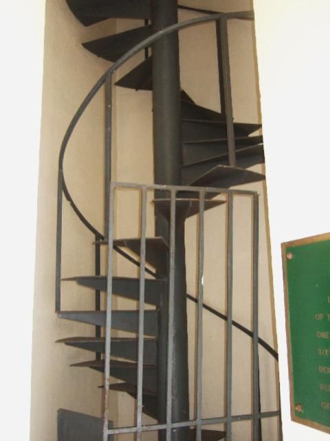 Windows and seats in the cross arm of the Shrine of Valor on Mt. Samat, Pilar, Bataan 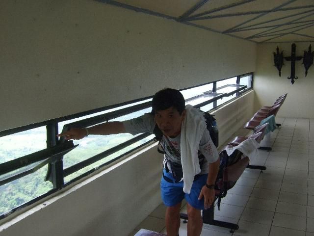 WWII Battle trails from the Hyper War internet pages. It is in high resolution. 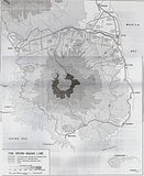 The cross of the Shrine of Valor on Mt. Samat, Pilar, Bataan 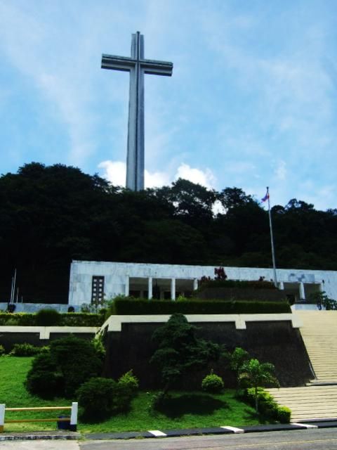 The graphic layout of the Bataan Defense Battle on the Colonnade Wall at the Shrine of Valor on Mt. Samat, Pilar, Bataan. It is in high resolution. 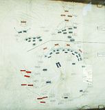 |
|
|
|
Post by chadhill on Nov 14, 2011 3:05:08 GMT 8
Nice photos, Karl. Here's a view of Mount Samat in 1986:  |
|
|
|
Post by fots2 on Nov 14, 2011 9:03:14 GMT 8
|
|
|
|
Post by chadhill on Dec 12, 2011 4:03:56 GMT 8
Fots, just for some more comparison here's another 1986 view of Mount Samat. Found it in some of my old photos this morning. 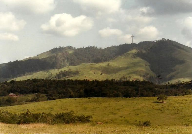 |
|
|
|
Post by Karl Welteke on Oct 7, 2012 9:10:24 GMT 8
New Mount Samat images posted! Since I have a little more luck now posting images on the bulletin board , I’ll try to post a few more of this album to renew the interest in Mt. Samat, the Shrine of Valor and the Bataan Defense Battle Line. It was about a walk up to the Shrine. It is 7 km one way and it is a lovely walk. It is vehicle grade, so it is easy to walk. Even though it was on the 28th Aug 2008, in the rainy season, it was dry and lovely and we had great visibility. I also marked up a few images to indicate the Battle Land Marks. Here is that album again with 100 images which all have descriptions: s74.photobucket.com/albums/i265/PI-Sailor/Manila%20Bay%20Forts-Other/Bataan%20Defense/Mount%20Samat/08-08-26%20Samat%20walk%20w%20friends/Here are the newly posted images: The Japanese have helped built a community hall at the bottom end of the road up to the Mt. Samat Shrine, we park our car there sometime.   At the 2km Stone is the only private residence along the road up to the Shrine.  Our group on the last few 100 meter, see we don’t even sweated.  The cross, the last few steps. 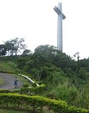 The data of the Shrine. 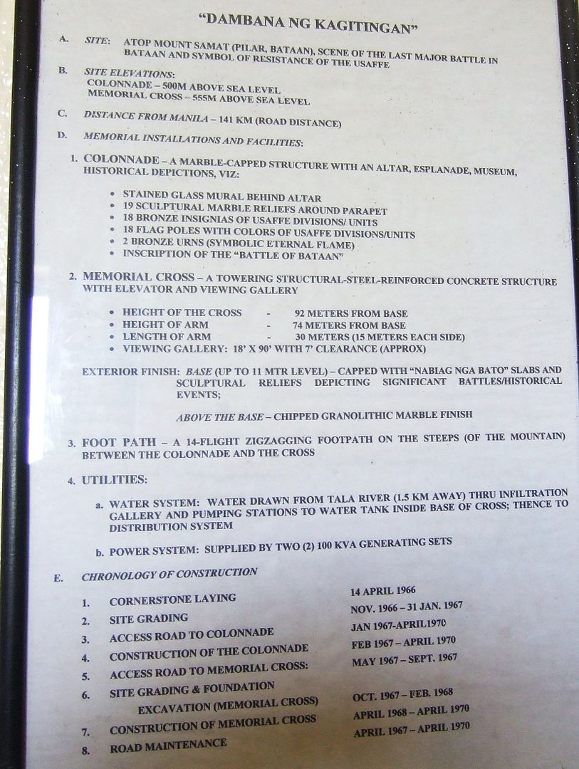 We can thank President Marcos for this Shrine  And President Ramos helped with an overhaul  The large battle map again  Looking towards Mt. Natib  The North Battle Front 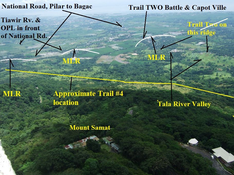 Looking east and down 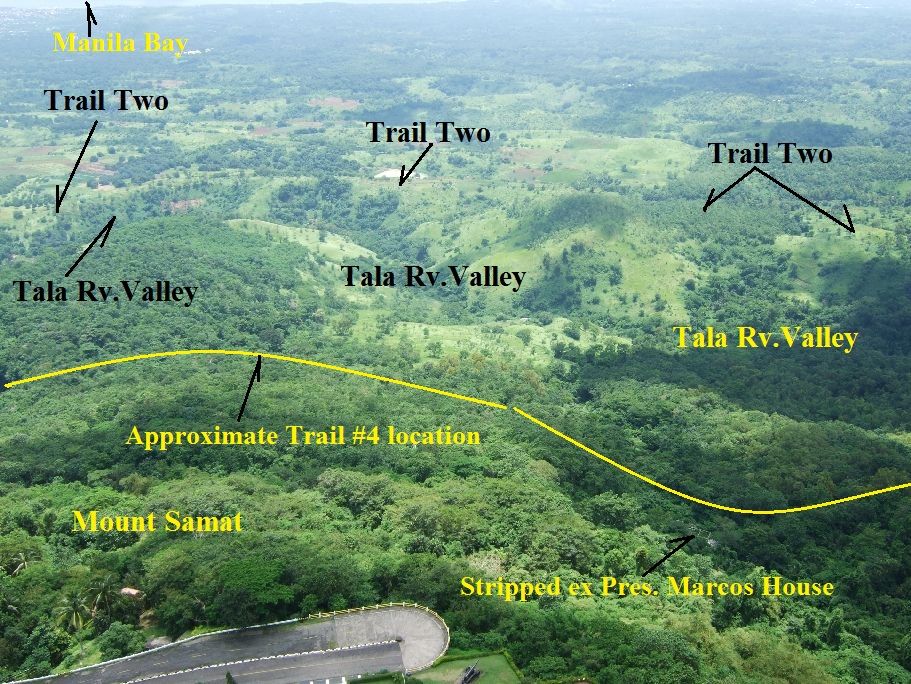 Looking West  Looking down at the Entrance  Plaques of American Units  All around this Colonnade the Philippine Units are Remembered. 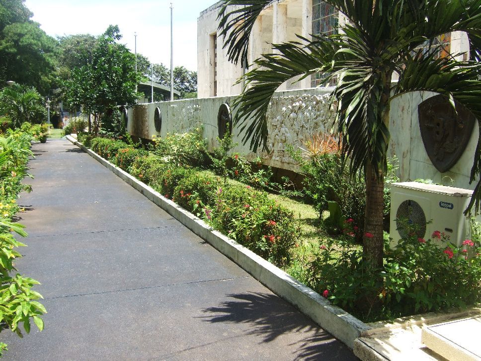 The impressive Colonnade  The Shrine of Valor Grand Stand 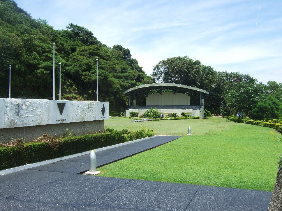 At each end of the cross-arm is this beautiful … eh, I mean, a port hole.  Our group up in the cross, we big men sweated more than these light footed Filipinas. 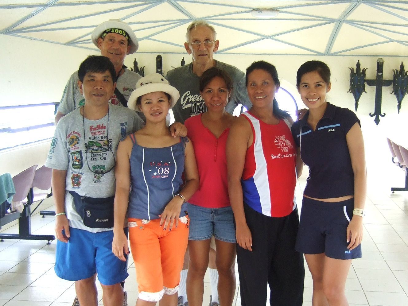 The cross can be walked in an emergency. 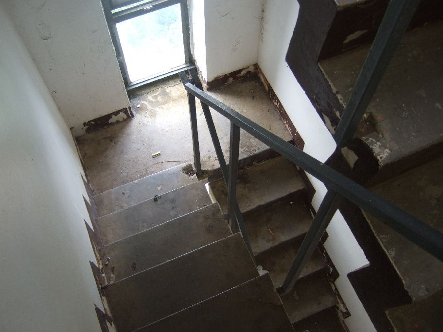 If you look close one can see the concrete frames and columns what the forest workers told me was the President Marcos House. I believe along that house rune Trail Four and it can be walked now towards Mount Mariveles. 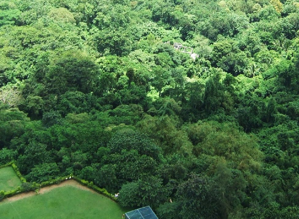 The impressive Shrine of Valor 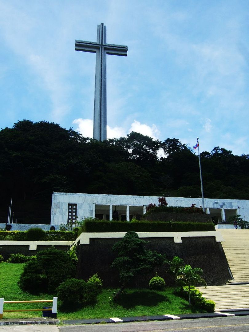 At the intersection of the Bataan Express Way and the Pilar-Bagac National Road is Death March Marker #23 out of 26 markers of the stretch from Bagac to Pilar. The other marker is dedicated to a Catholic Father and may not be WWII related. 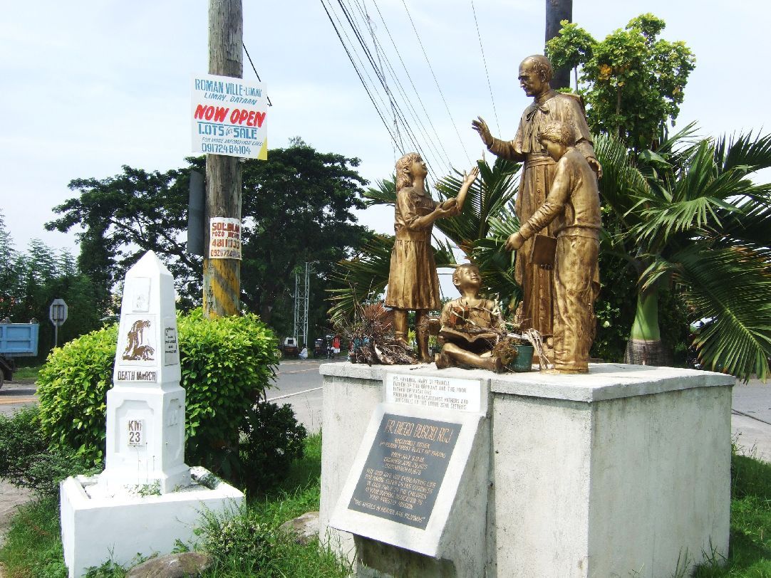 This is a small section of the Bataan Battle Graph at the Shrine but I couldn’t post it so here is the URL for this image only. s74.photobucket.com/albums/i265/PI-Sailor/Z%20Direct%20Image%20Links/?action=view¤t=080826zBattleGraph08FinalBattleManilaBay.jpgHere is the thumbnail for the whole and large Bataan Battle Graph again for your convenience.  Hallelujah, during this effort of trying to post about 25 images only 2 images didn’t post. For one the thumbnail worked though and the other I had to use the URL. |
|
|
|
Post by chadhill on Oct 7, 2012 12:21:11 GMT 8
Nice photos, Karl. Thanks for sharing them with us. I especially enjoyed the maps you drew onto the photos, it's a great technique and really helps.
|
|
|
|
Post by Karl Welteke on Oct 7, 2012 13:34:03 GMT 8
Hi Chad
Thanks, glad you like it. Your 1986 shot of Mt. Samat (Reply 3) is it shot from the NW maybe the ridge line trail 29 is on?
What about the your shot in reply #1. Could you pinpoint it on a Google Earth image as to where you shot it from.
|
|
|
|
Post by chadhill on Oct 7, 2012 21:18:02 GMT 8
Karl, sorry but I can't recall which side of Mt. Samat I was on for either of those photos. And I neglected to notate anything on the backsides.  |
|
|
|
Post by sherwino on Oct 16, 2012 12:32:42 GMT 8
Nice old pics, Chad.
|
|
Deleted
Deleted Member
Posts: 0
|
Post by Deleted on Apr 19, 2013 14:23:23 GMT 8
|
|