Post by piercebennett on Aug 12, 2016 7:01:15 GMT 8
Hopefully I will be able to get the rest of my photos up at a faster rate than the first two days.
Day 3
I spent the third day of my trip in the area behind the electric plant.
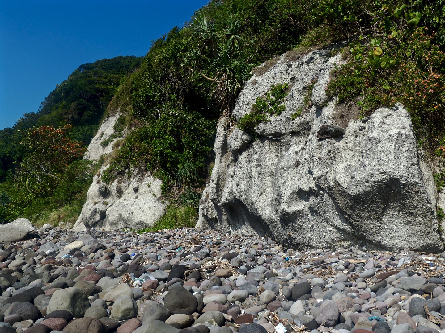
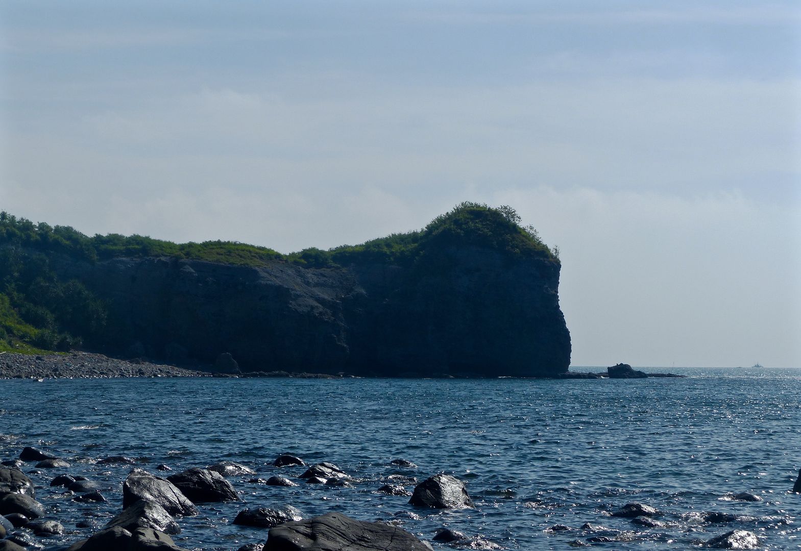
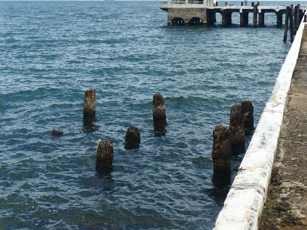
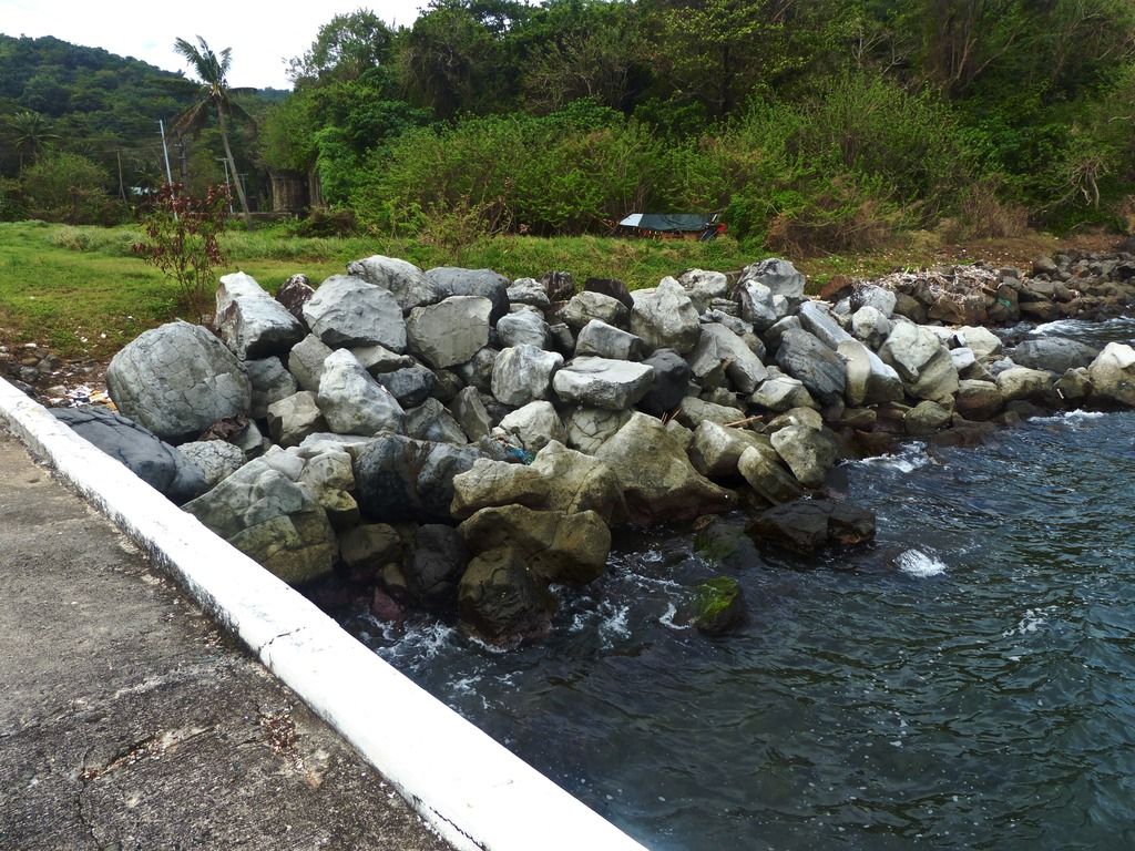
I started my trek from the Engineer Wharf. The map says there used to be a machine gun emplacement here.
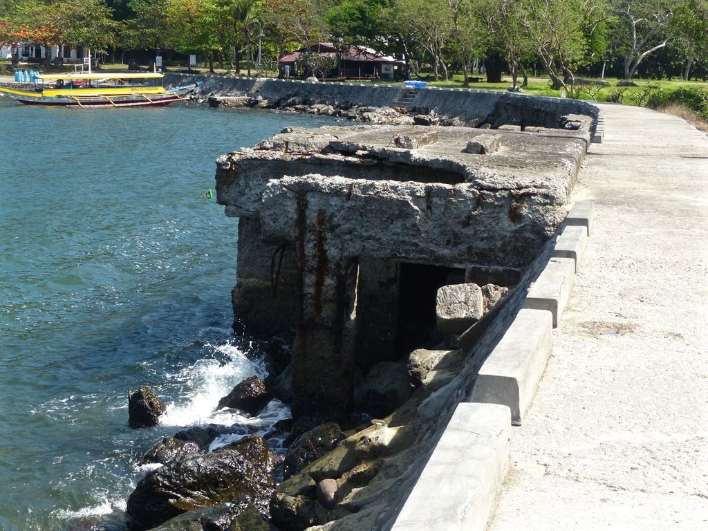
Here's a few photos of the wharf.
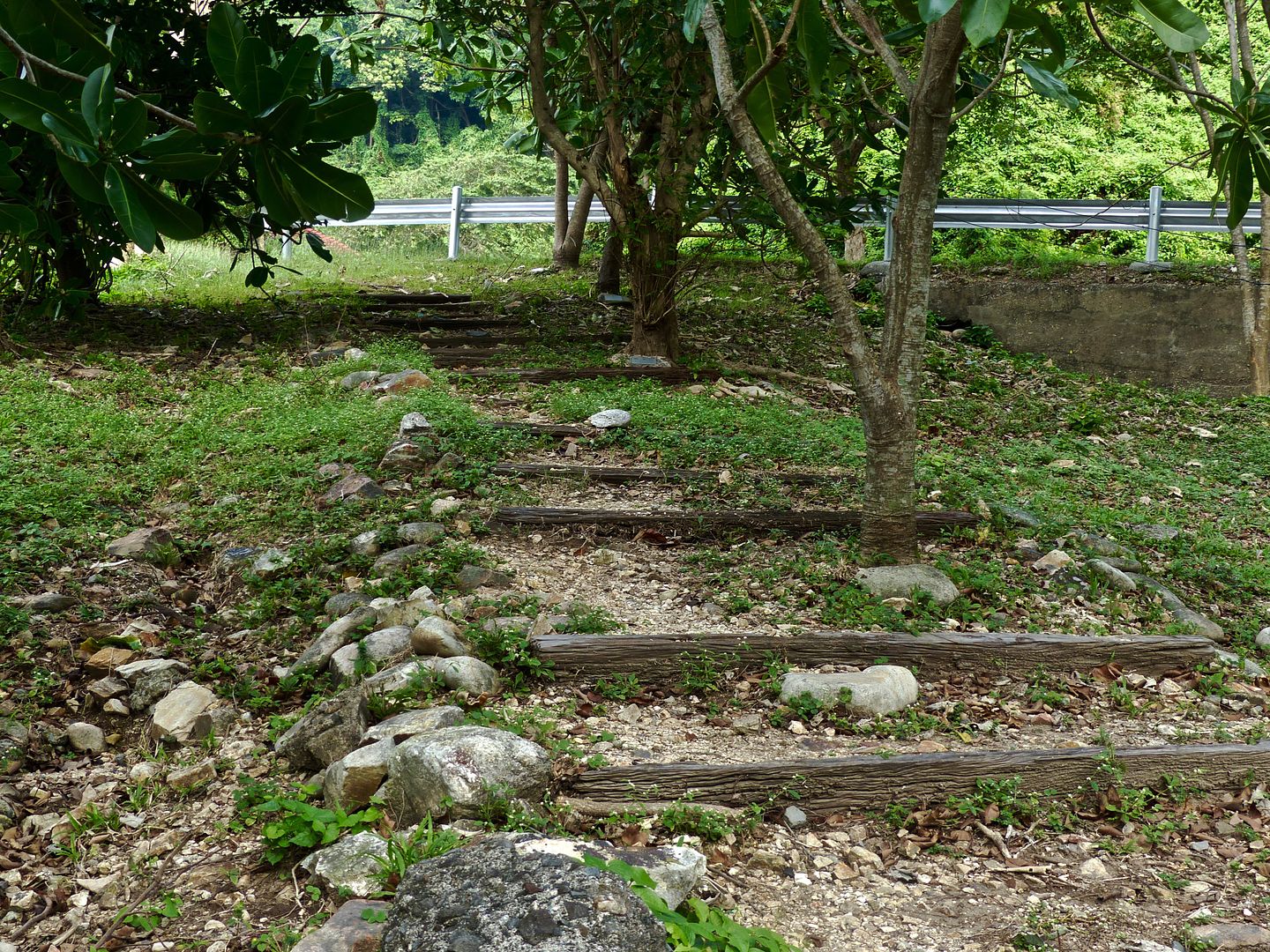
Next, I made my way up the hill behind the power plant towards Fresh Water Tank #9 and VII-F-2.
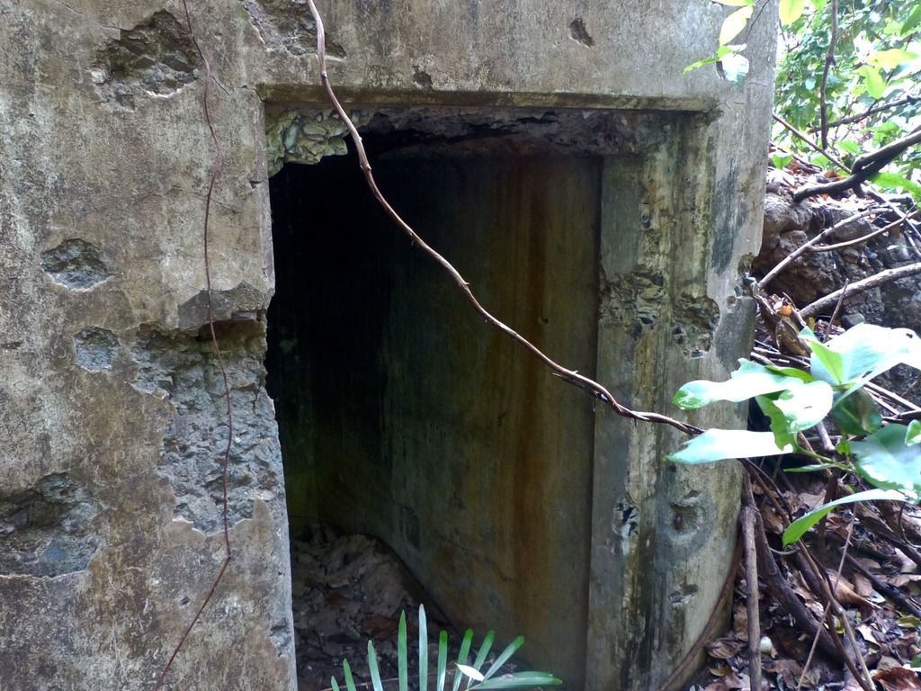
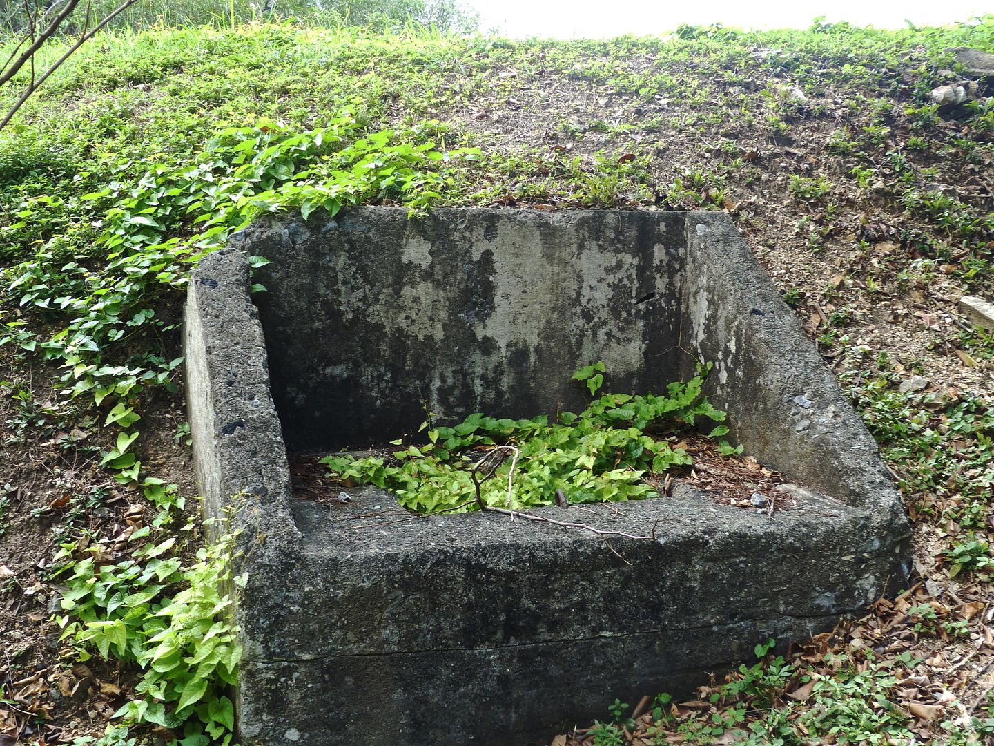
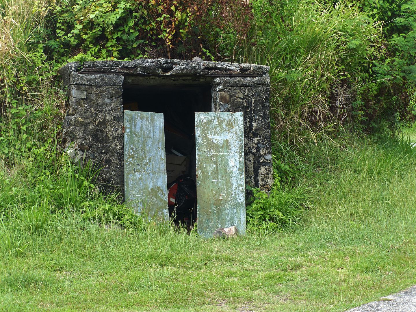
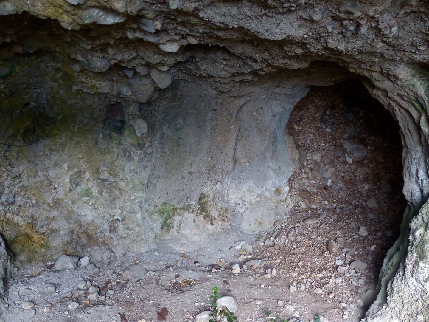
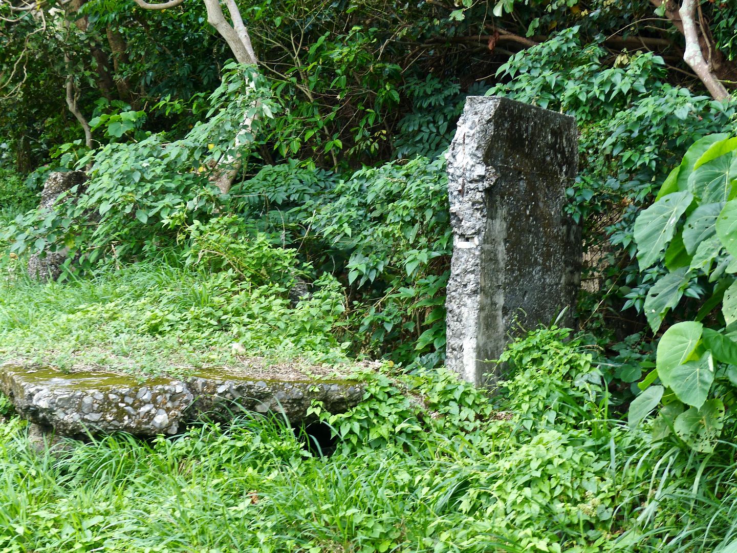
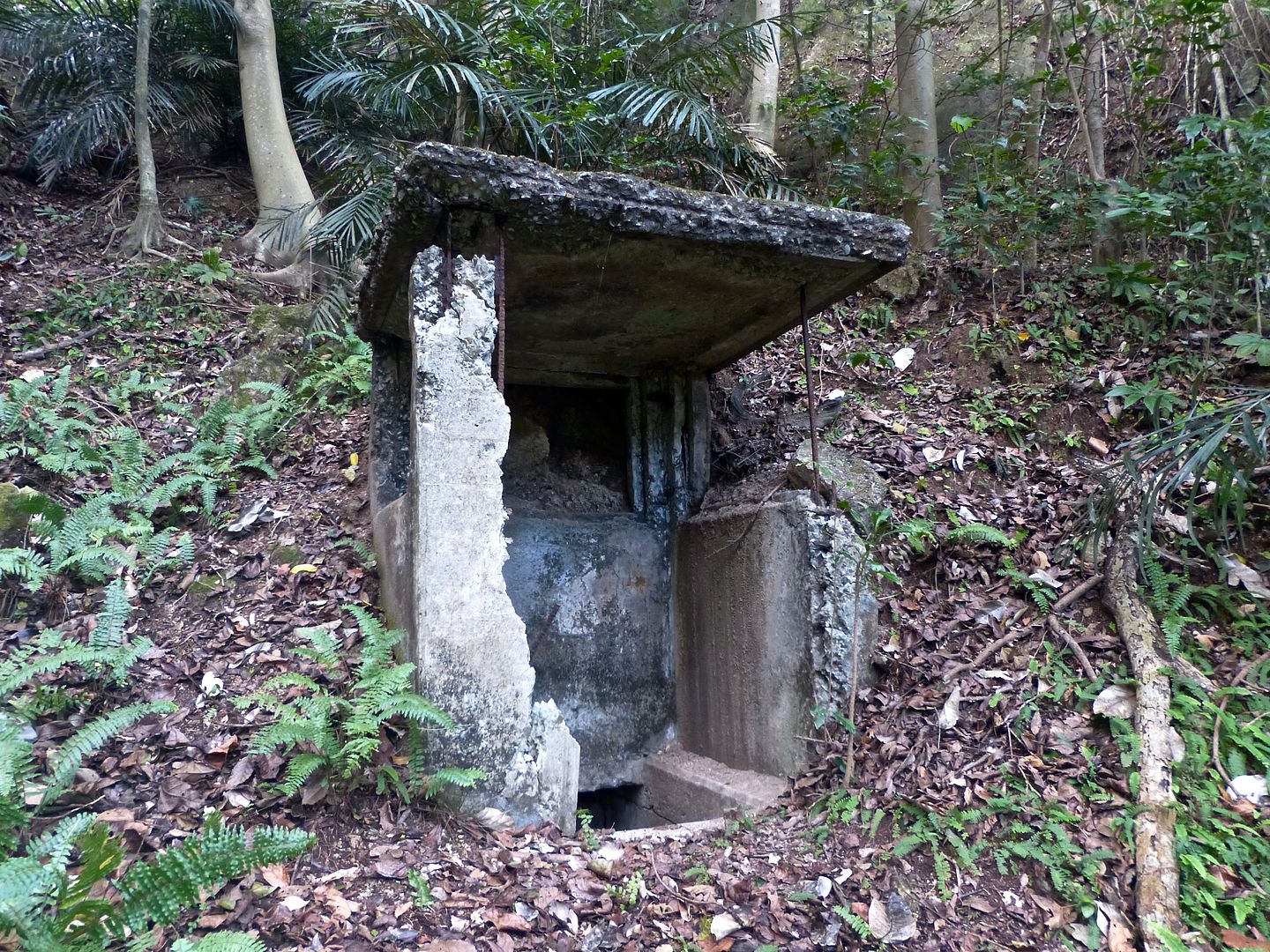
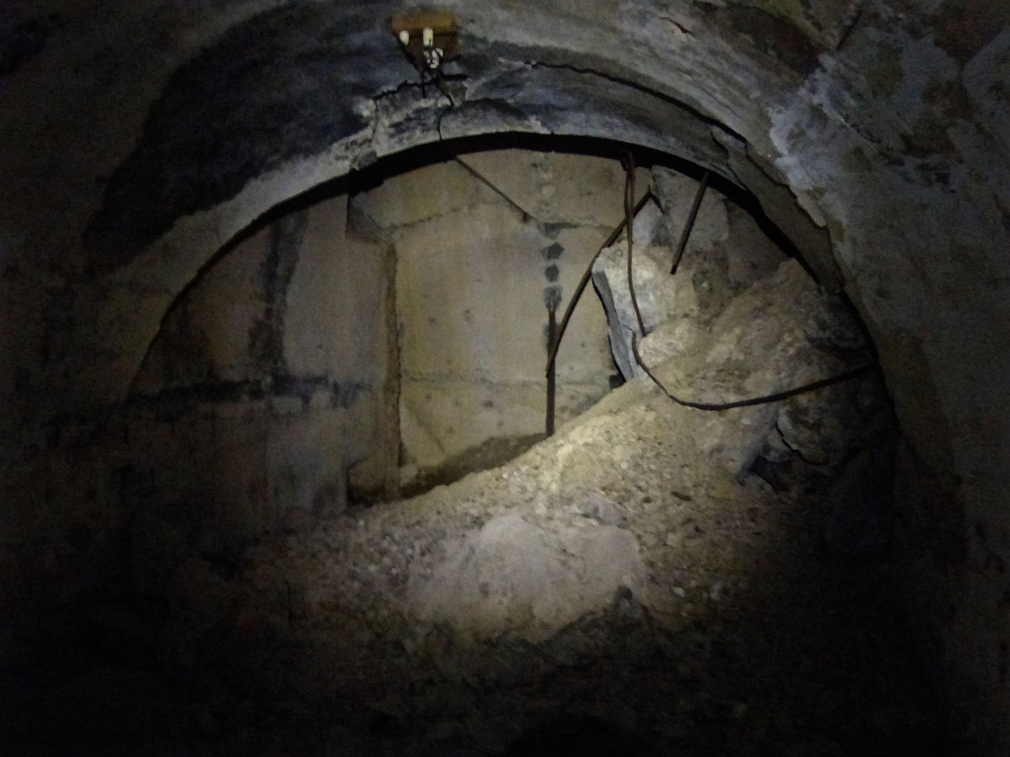
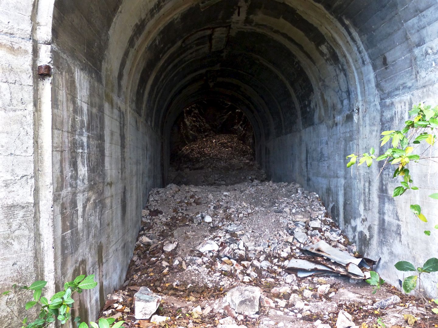
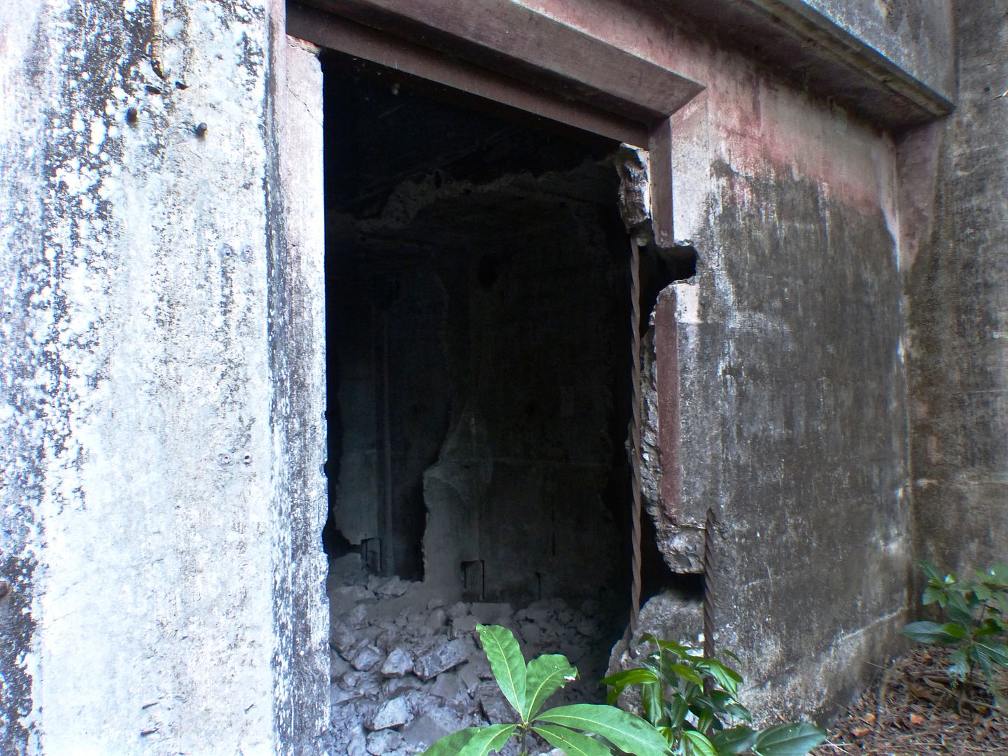
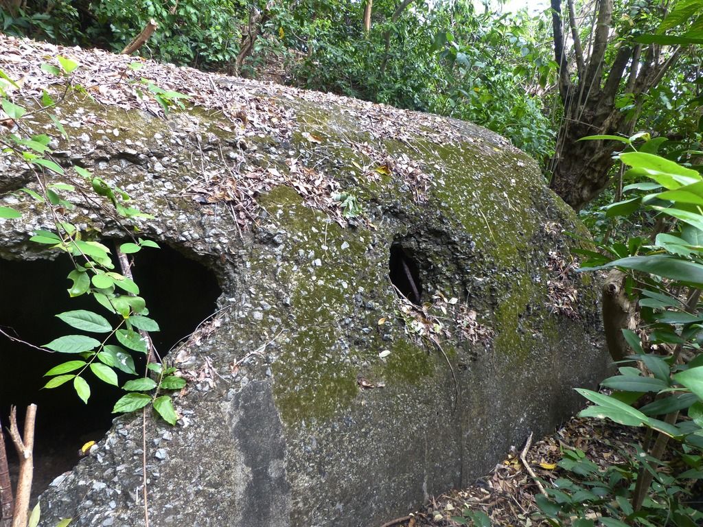
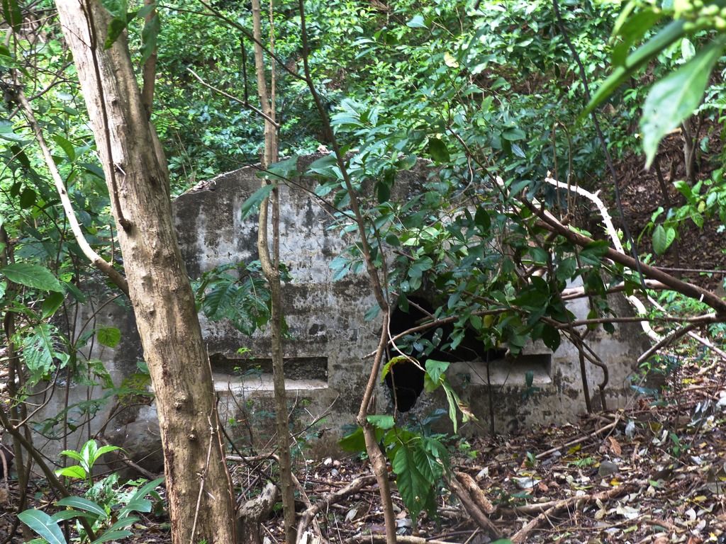
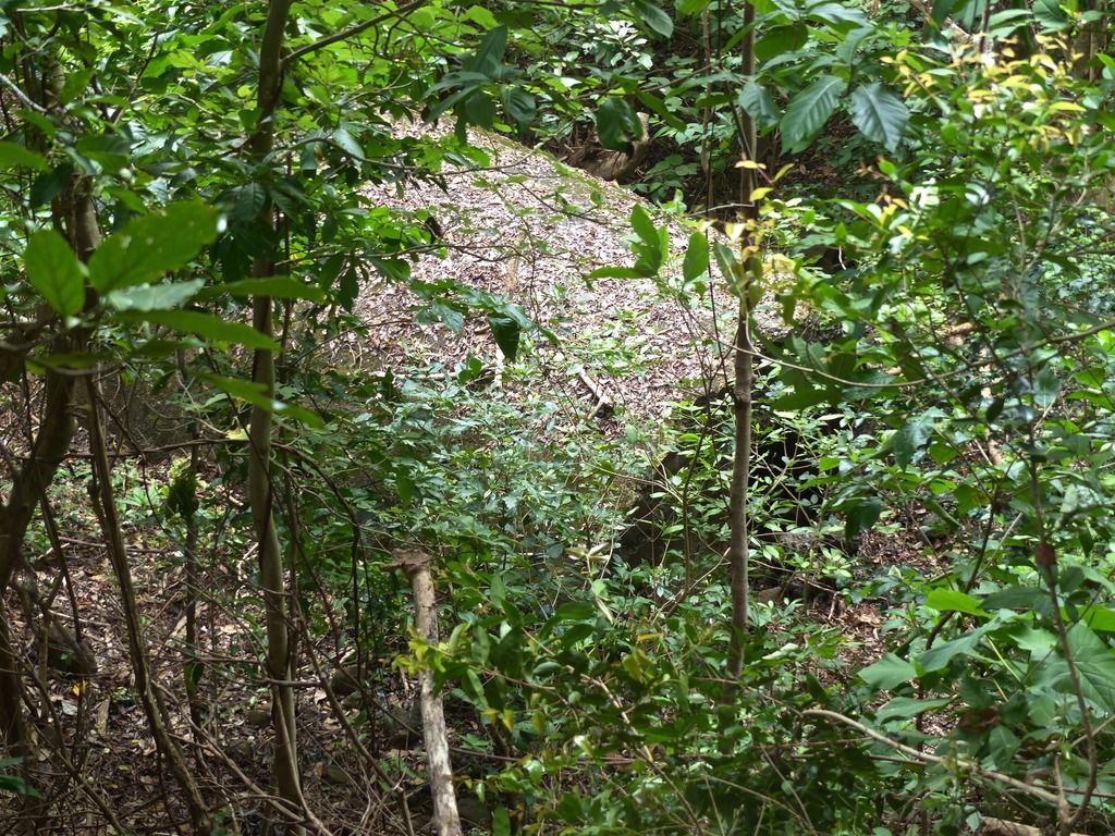
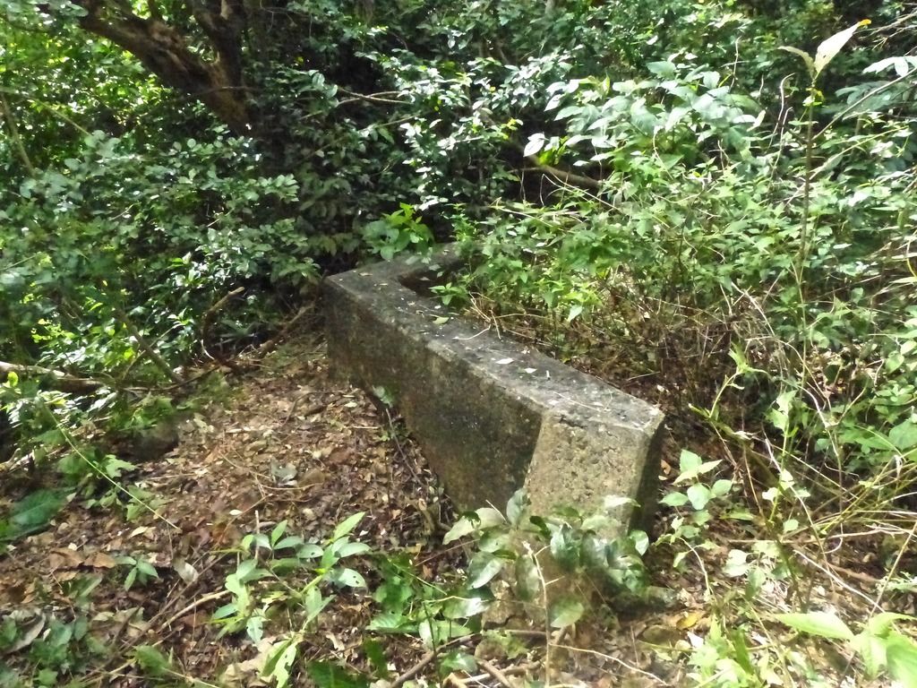
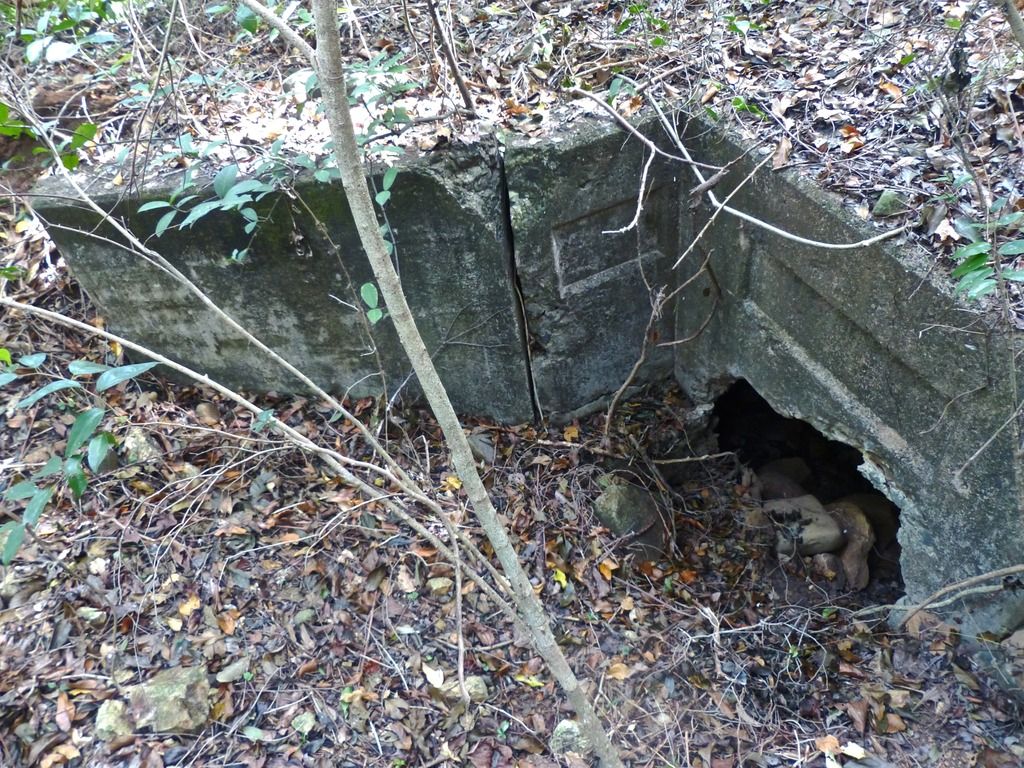
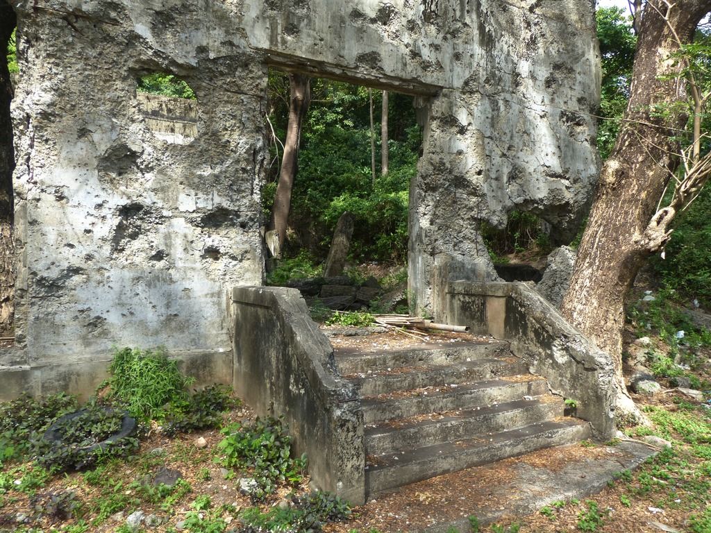
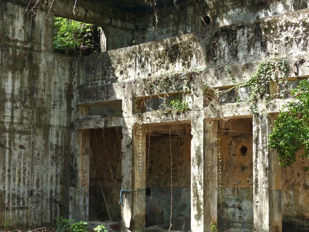
Up on the hill, I found what I believe to be a magazine for the defense positions nearby.
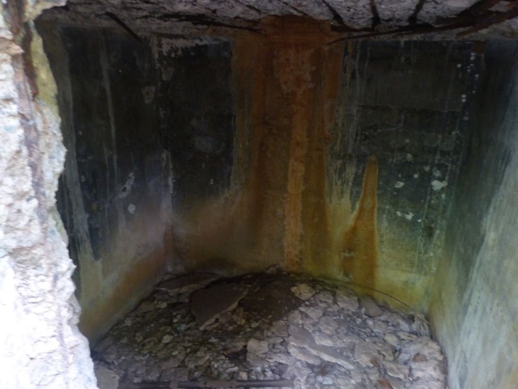
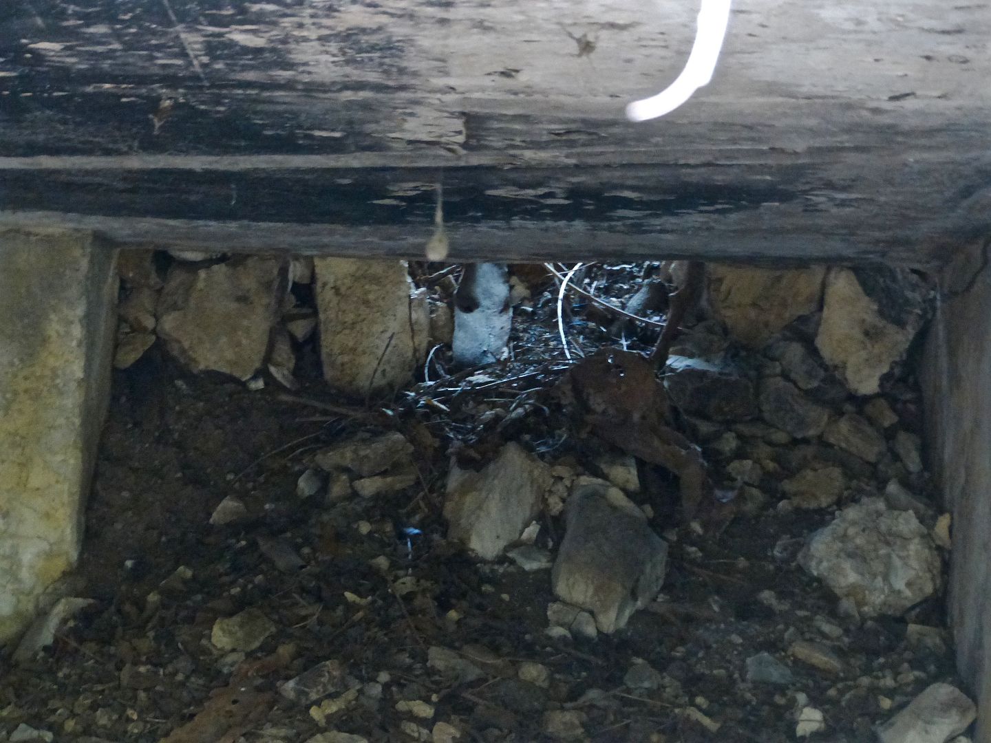
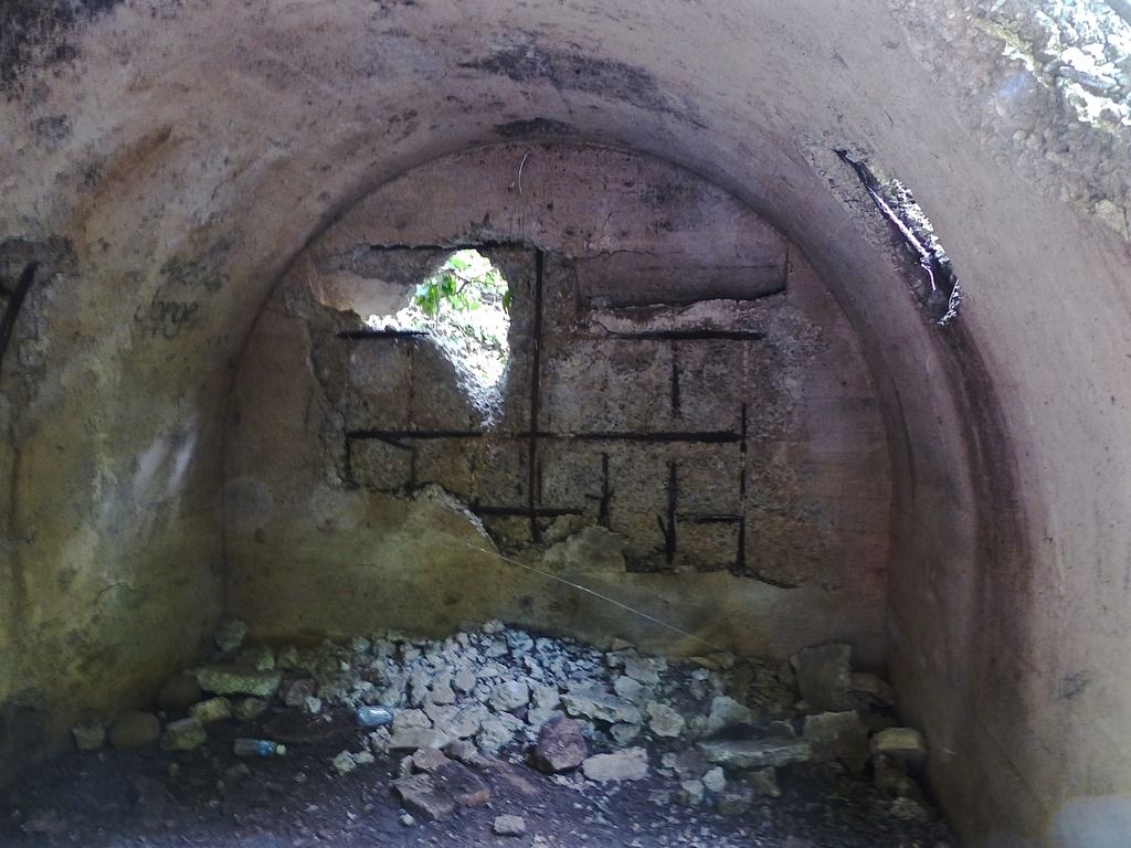
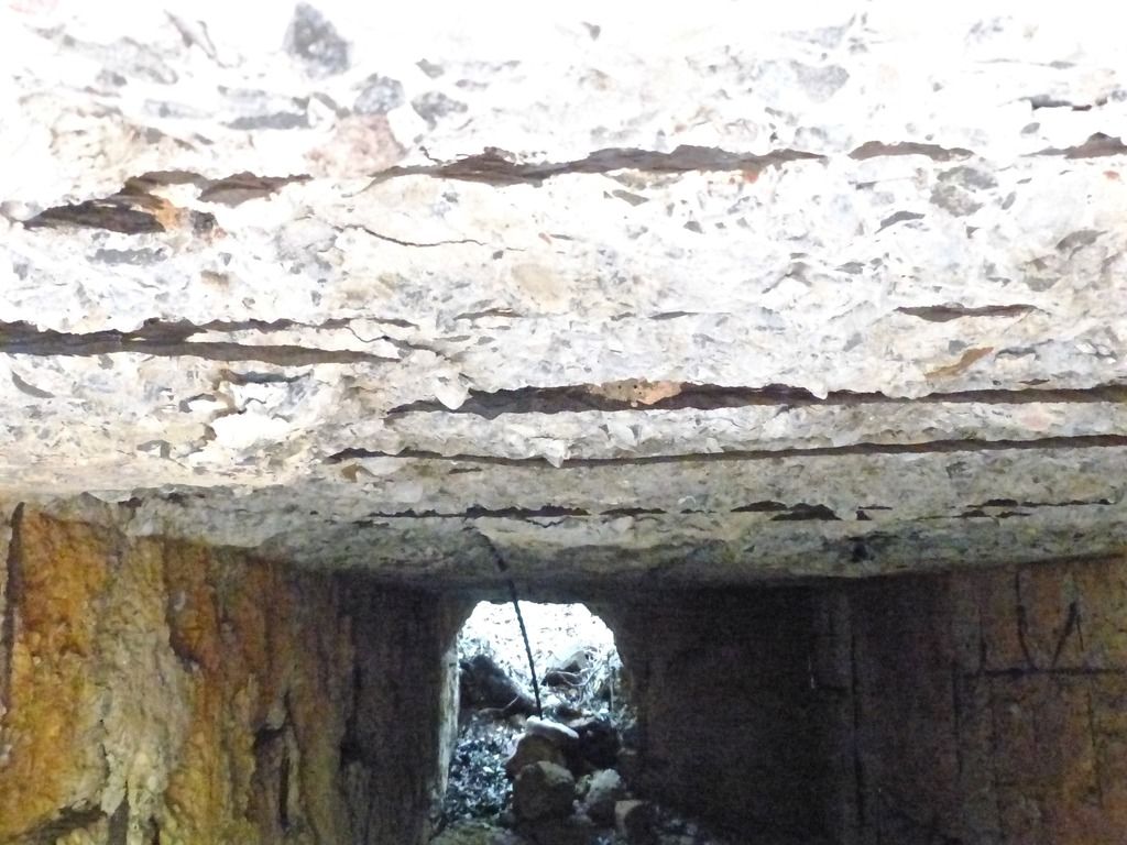
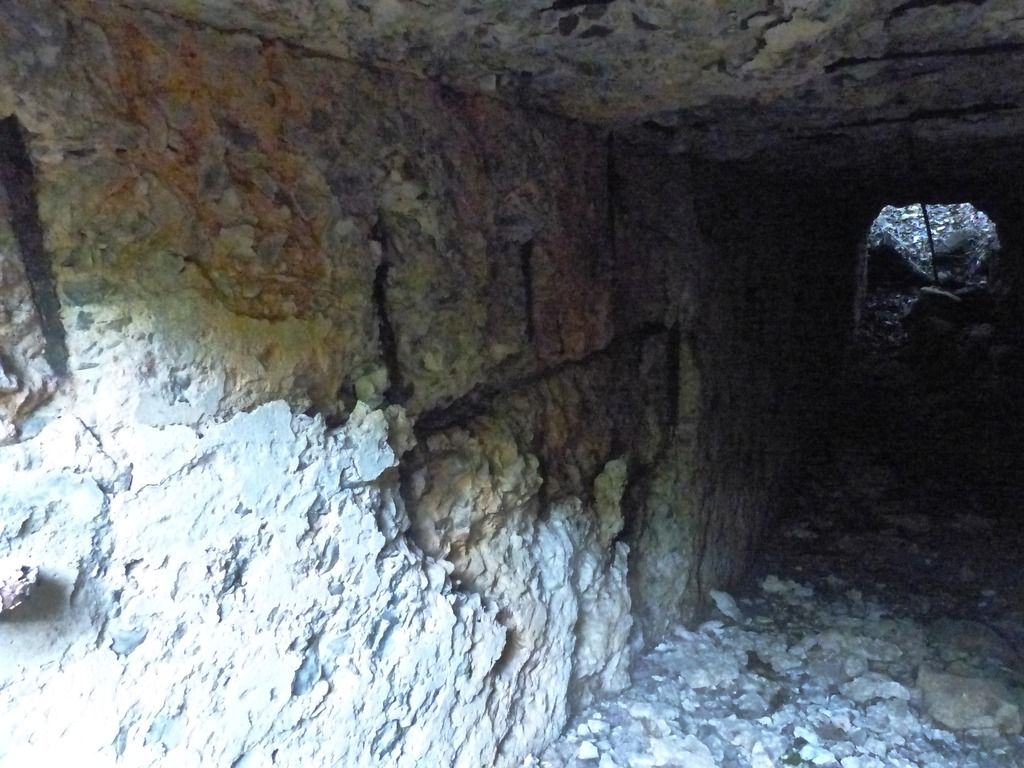
The interior of the small building.
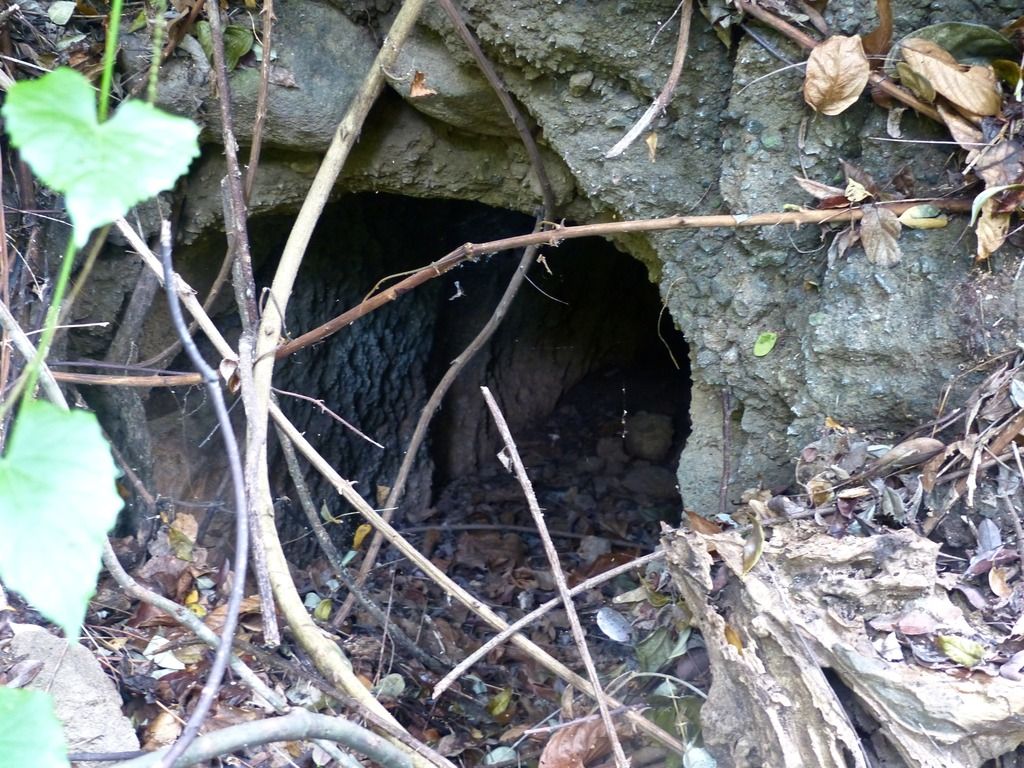
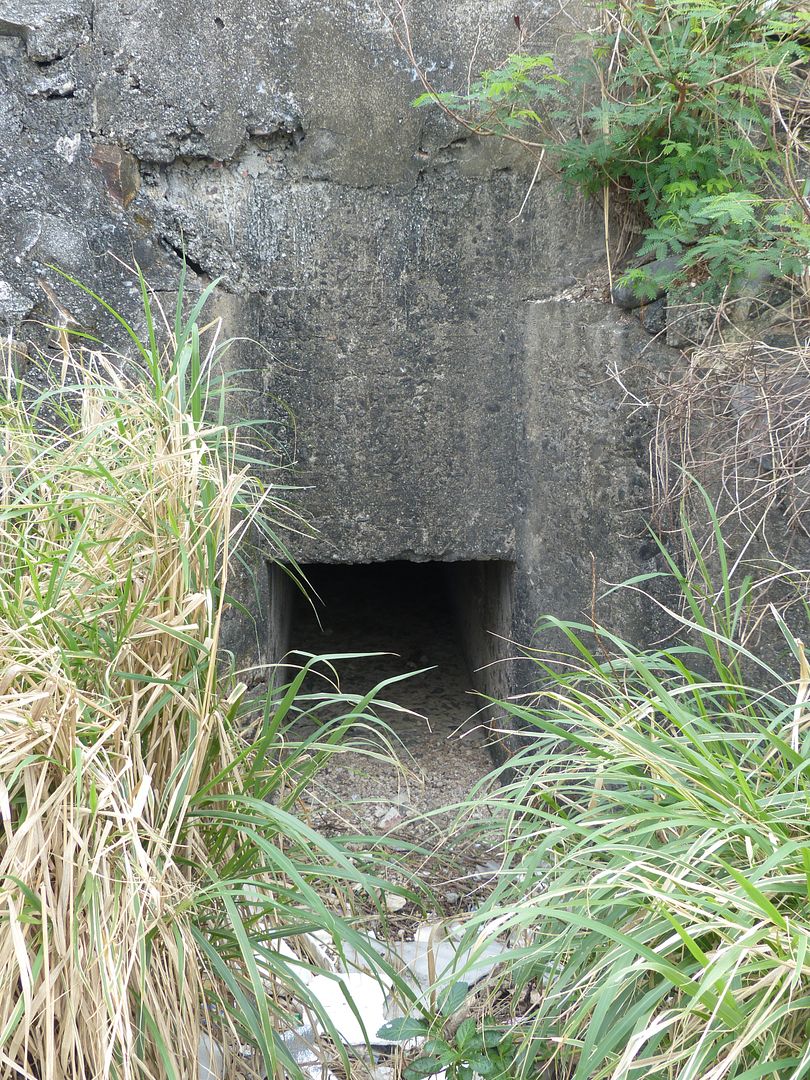
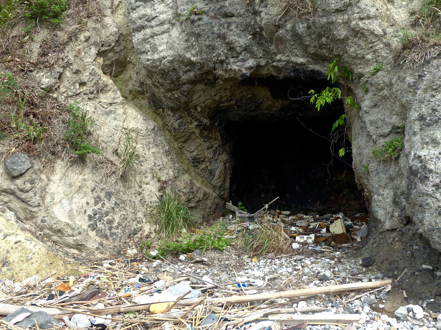
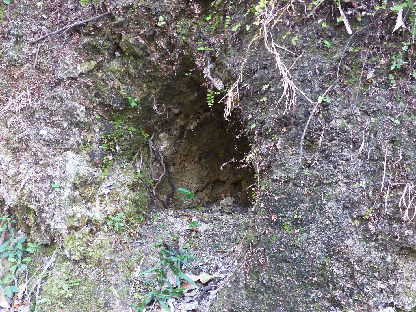
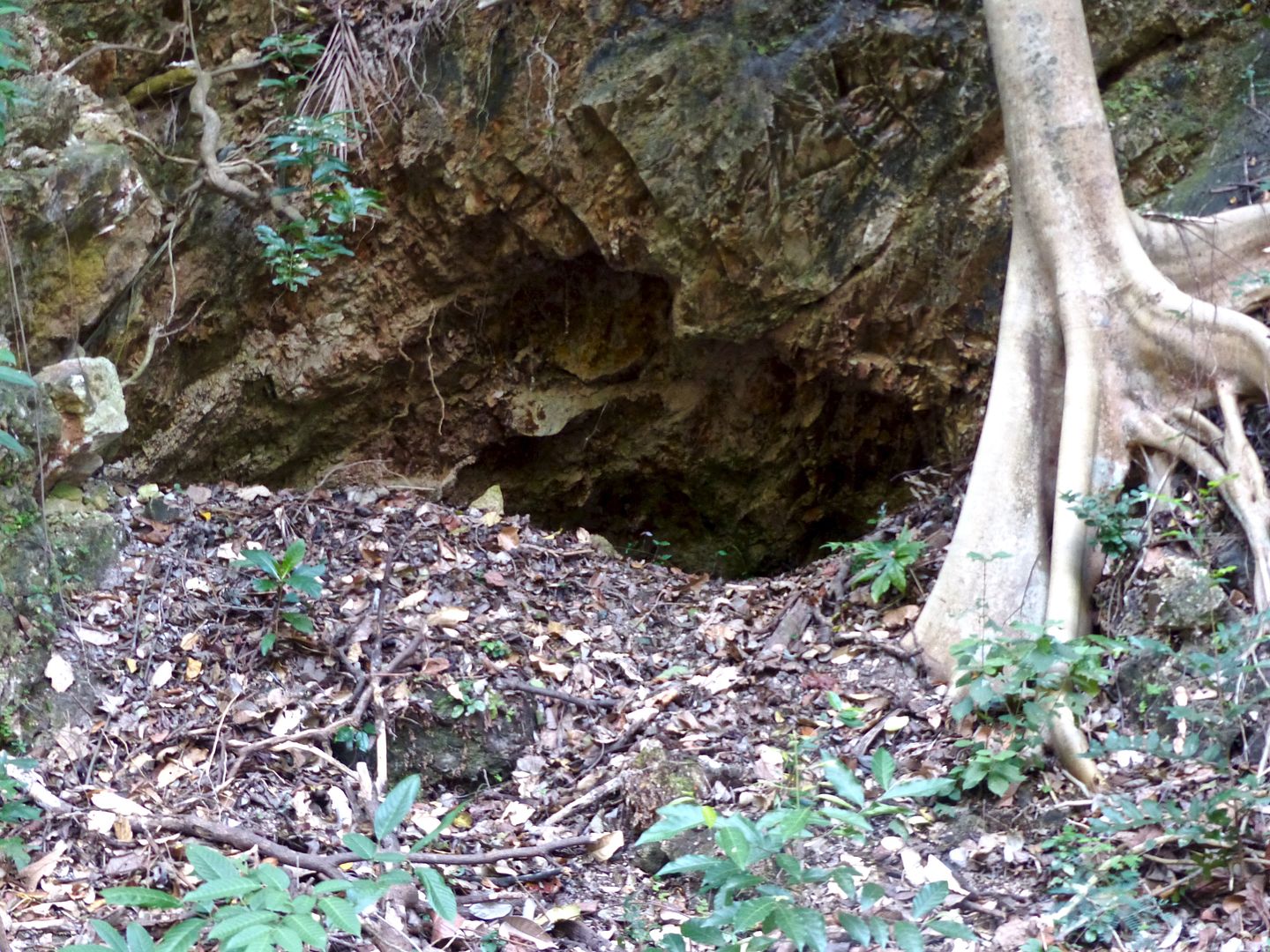
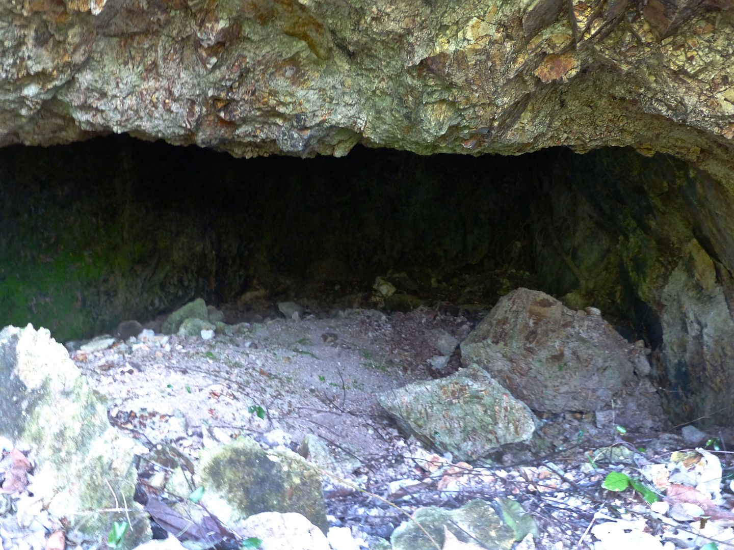
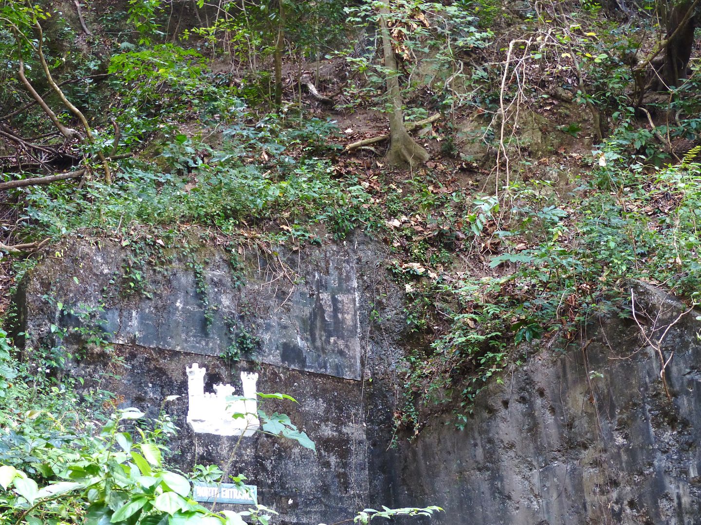
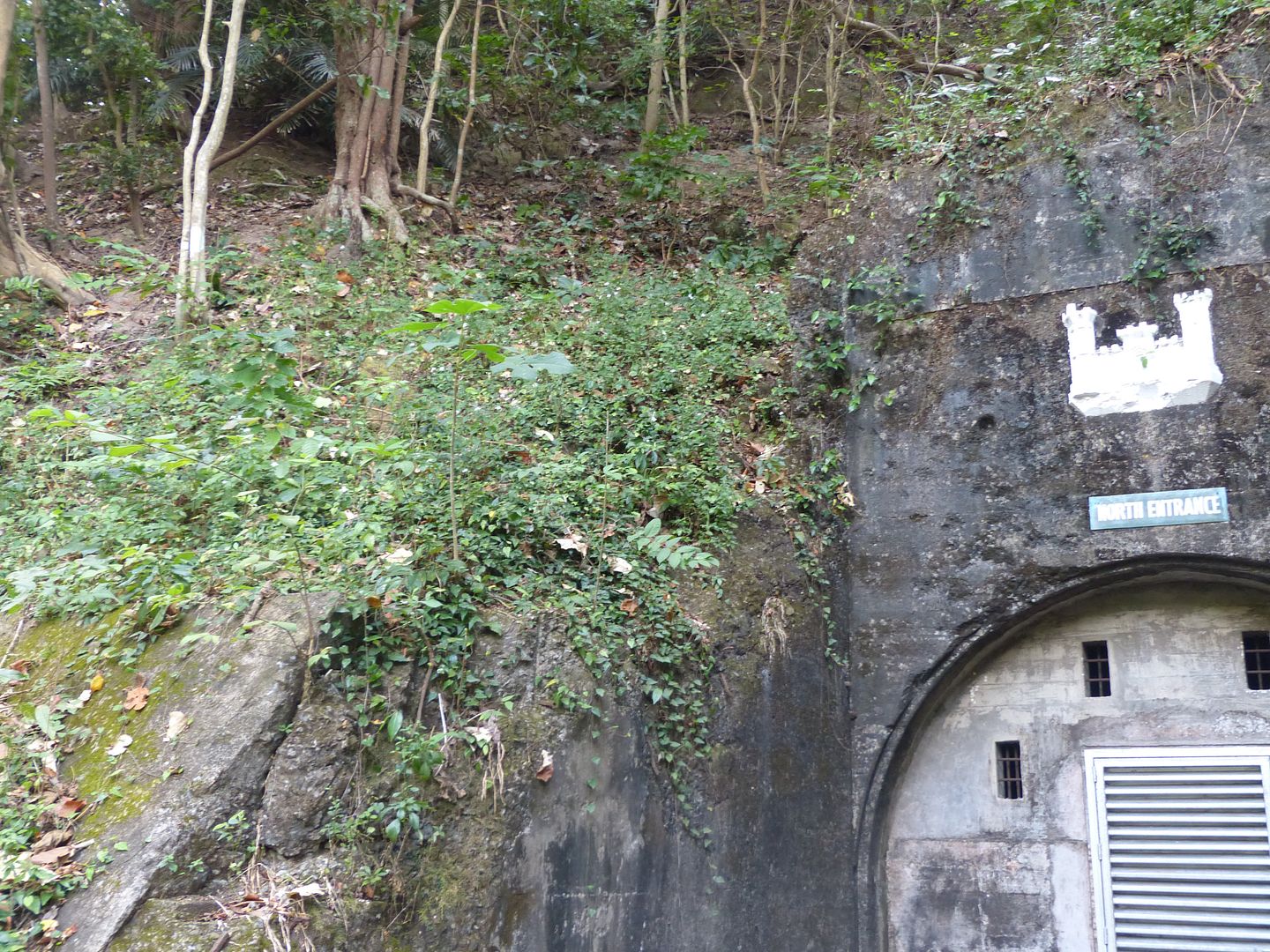
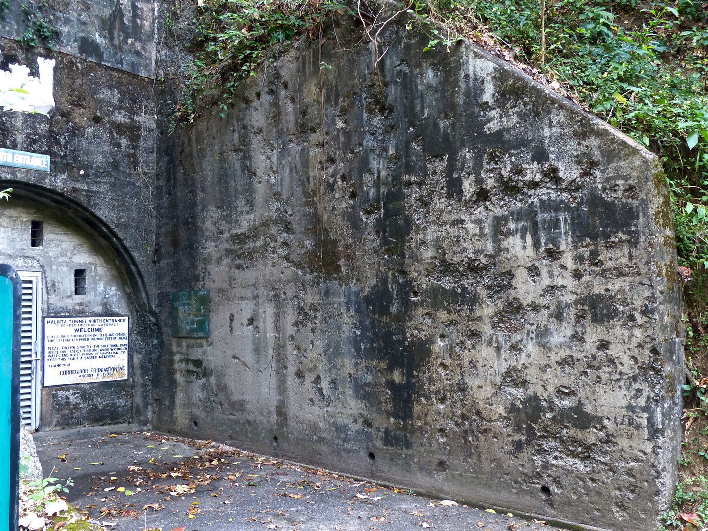
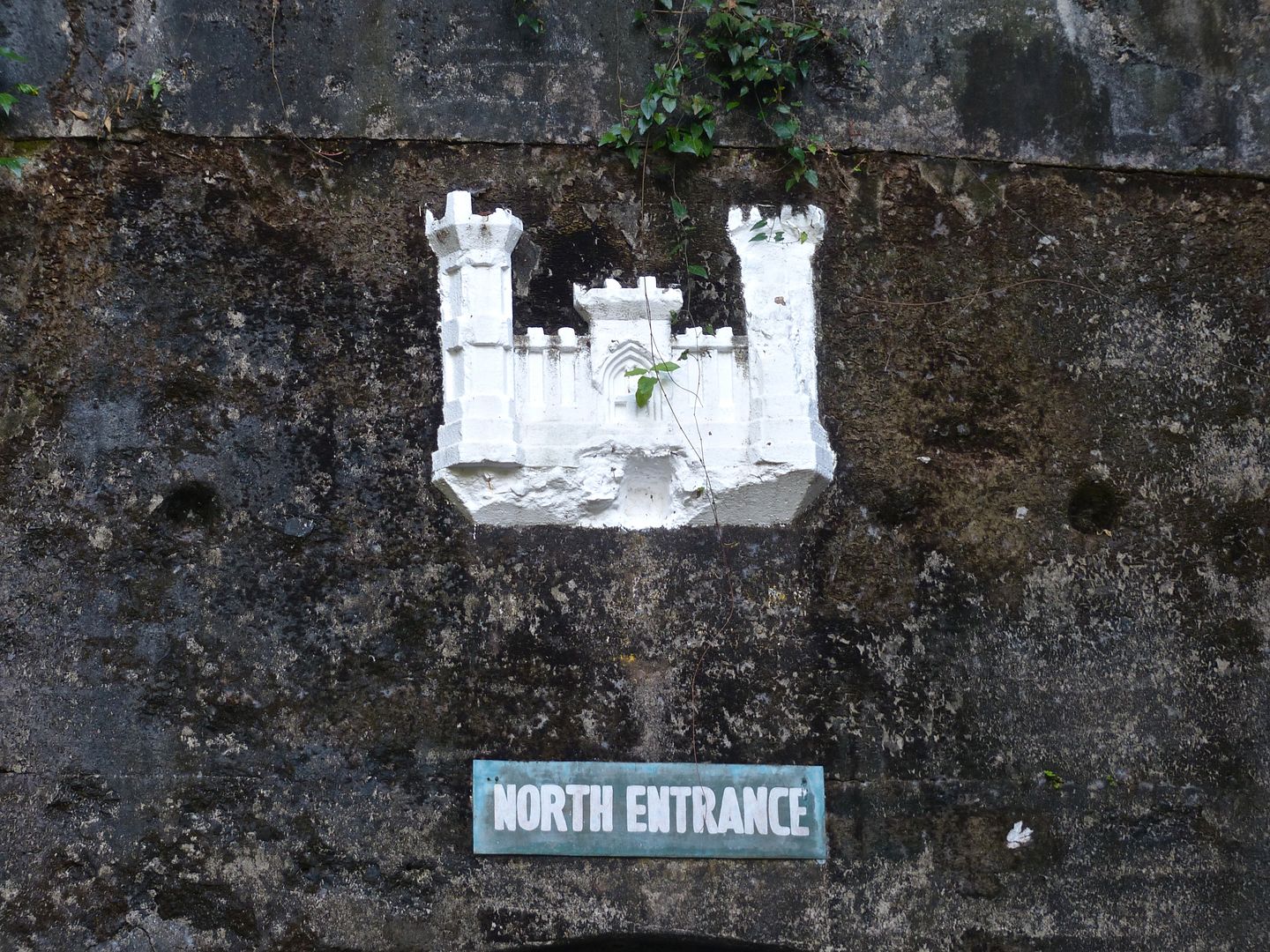
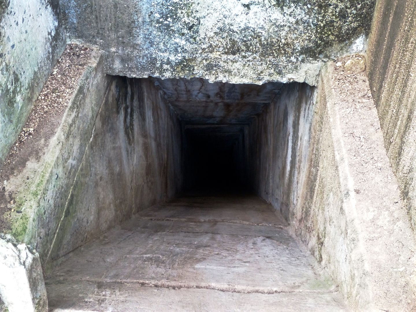
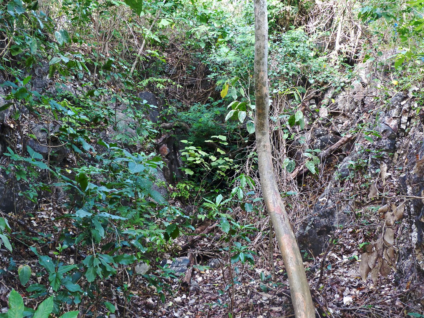
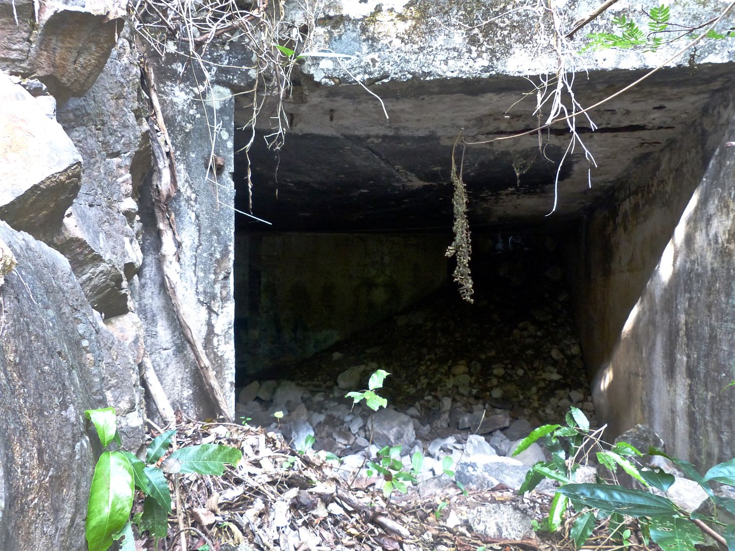
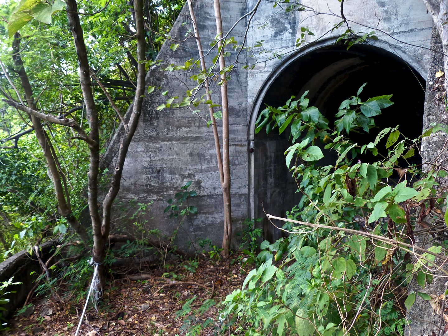
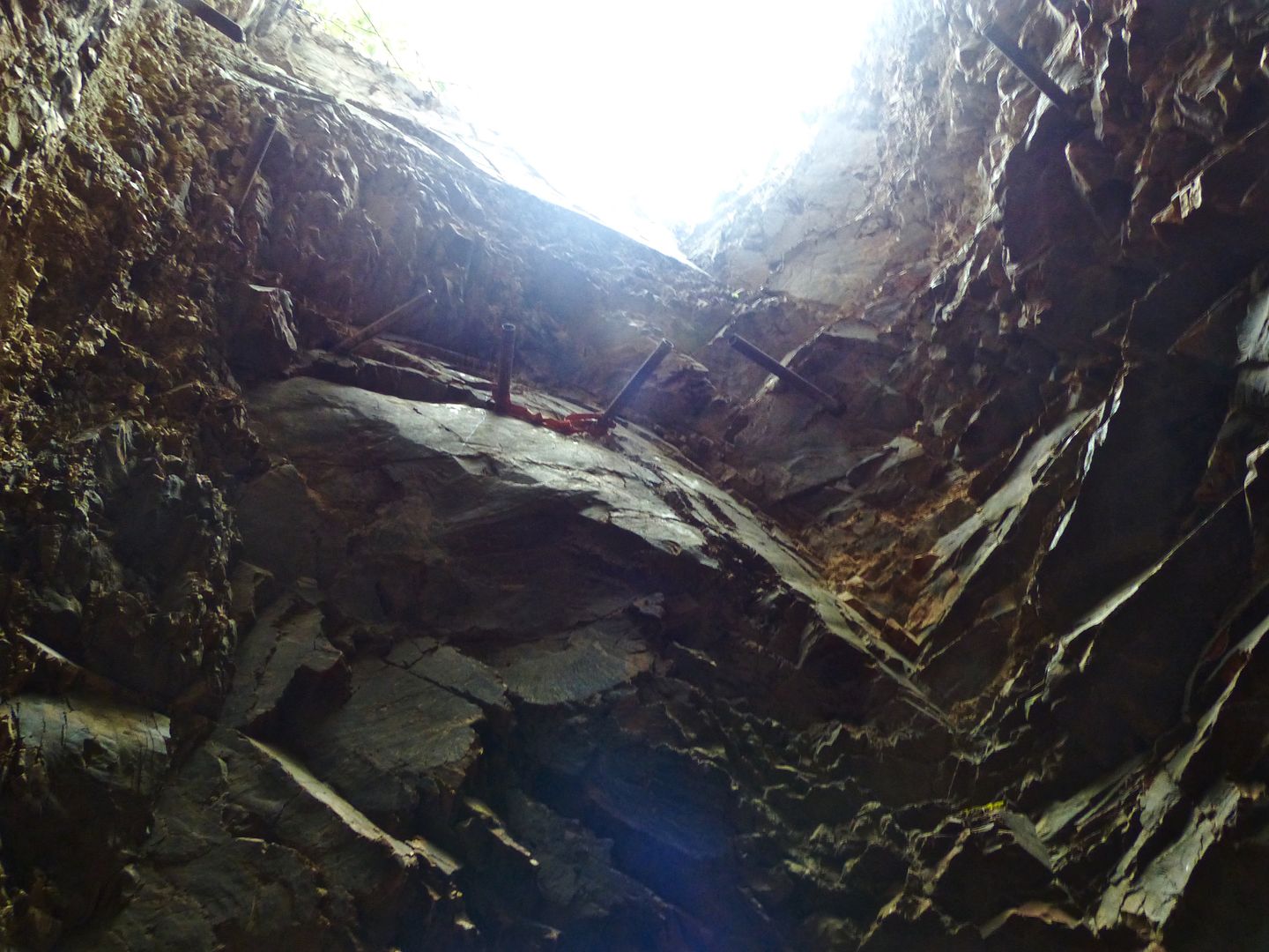
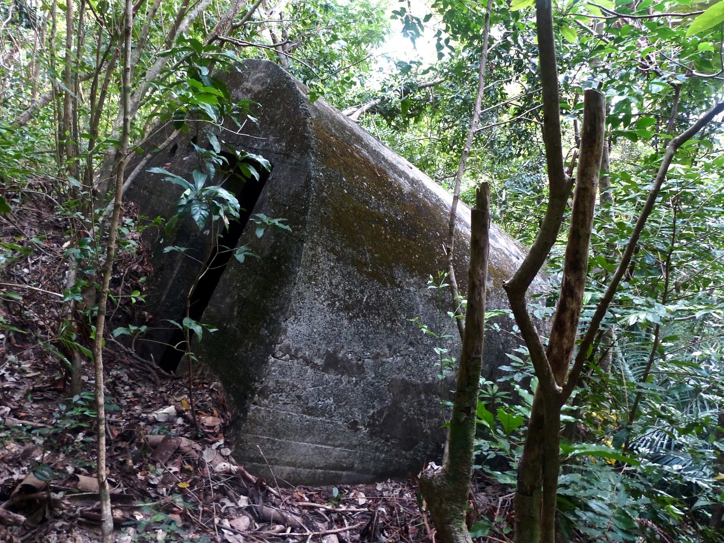
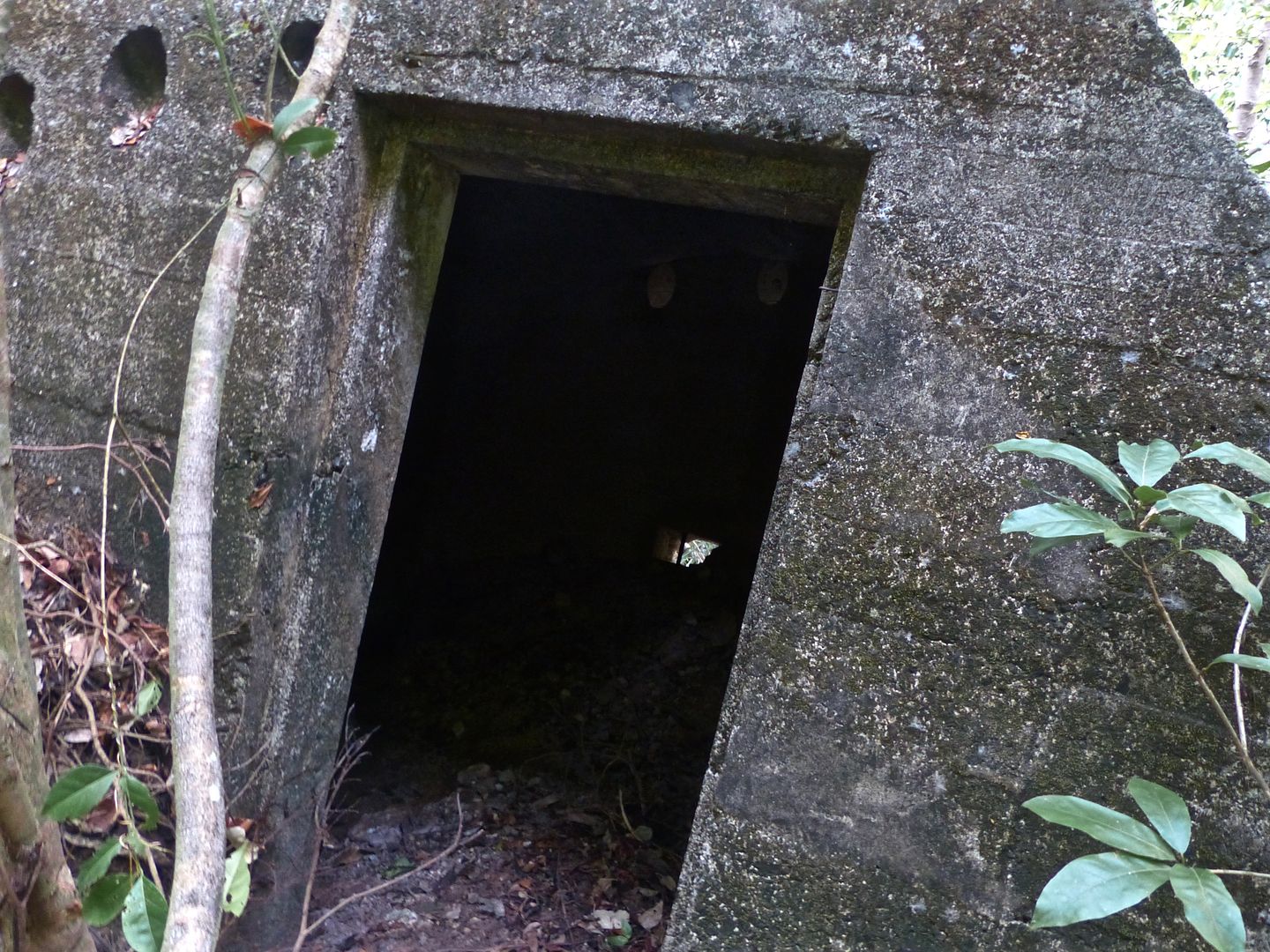
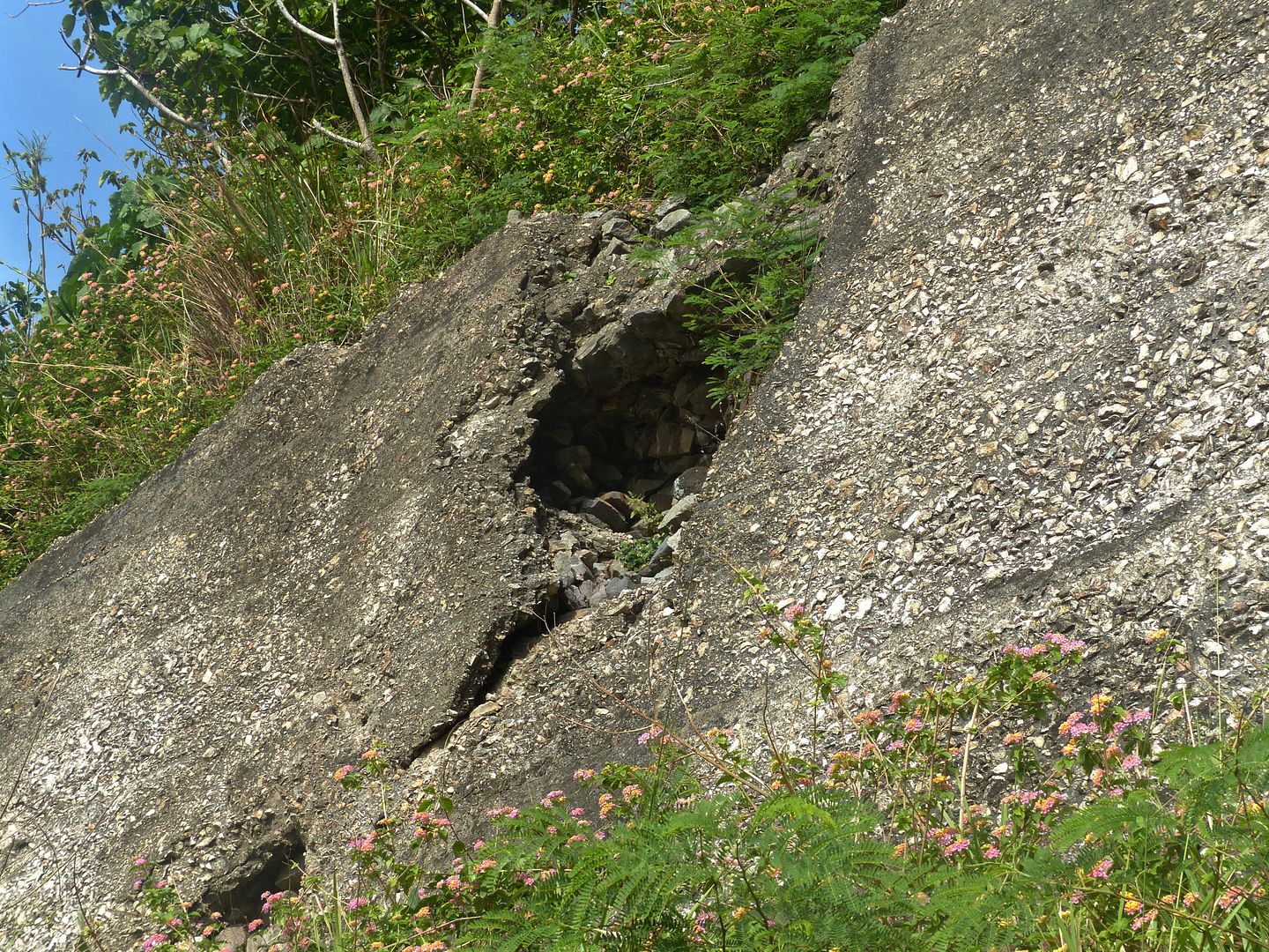
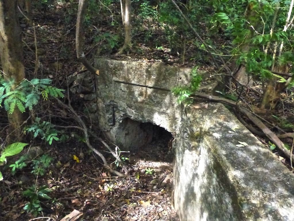
A tunnel entrance. I didn't have a flash on my camera, so that's why I didn't go in. I was also alone and I'm a bit of a baby.
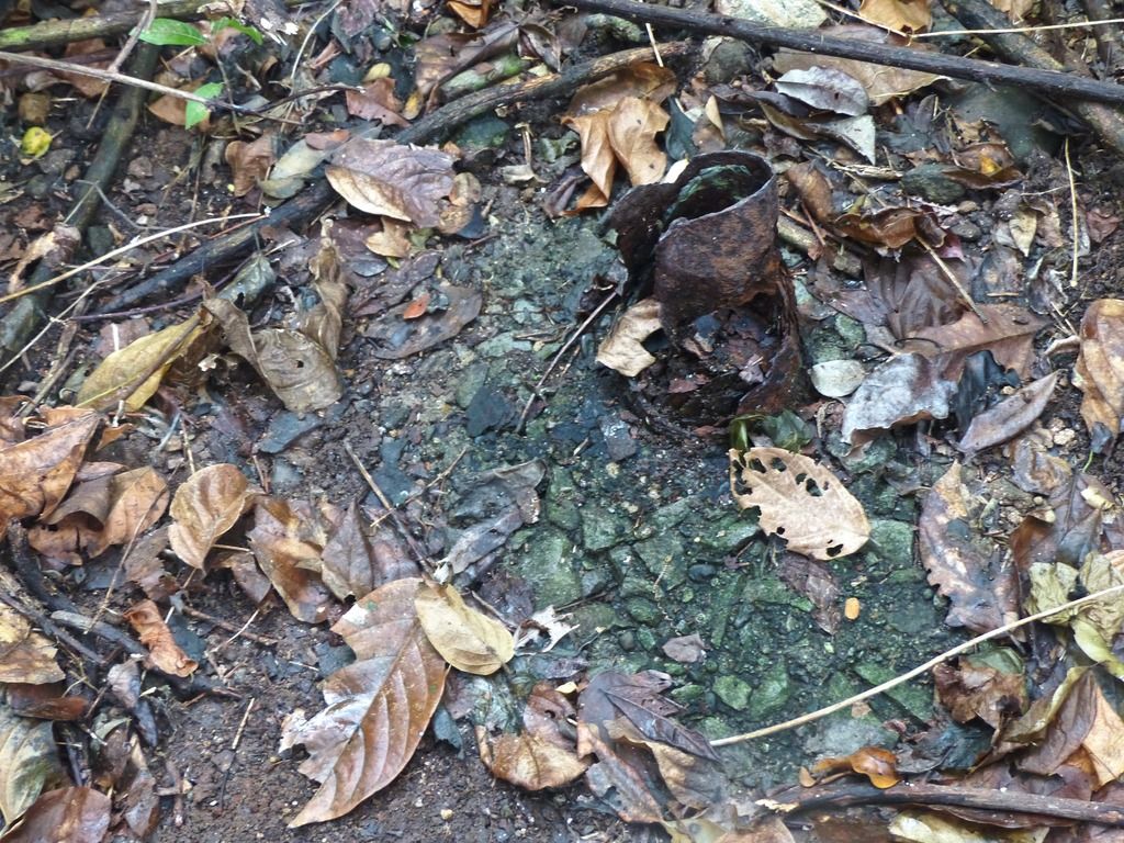
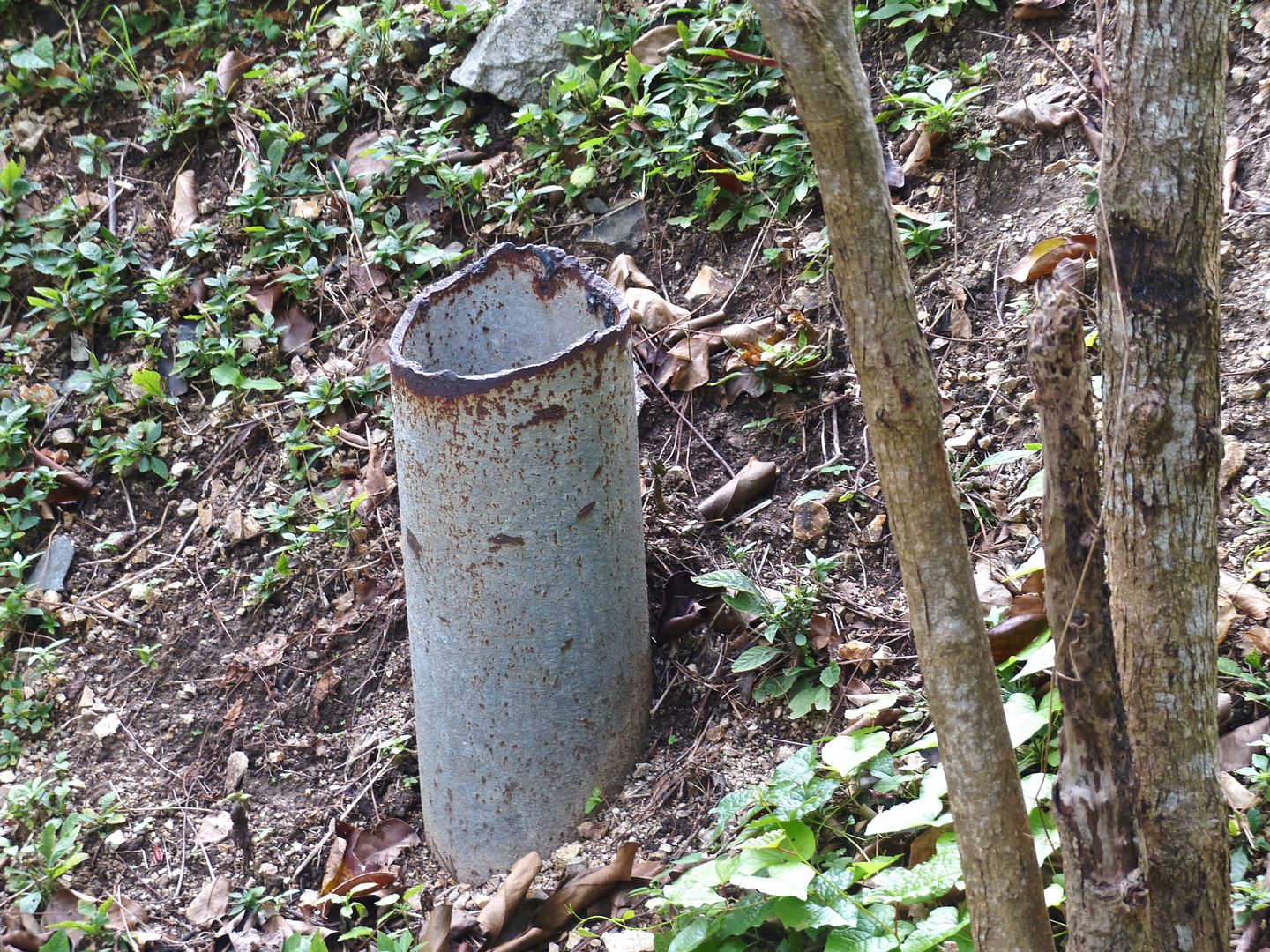
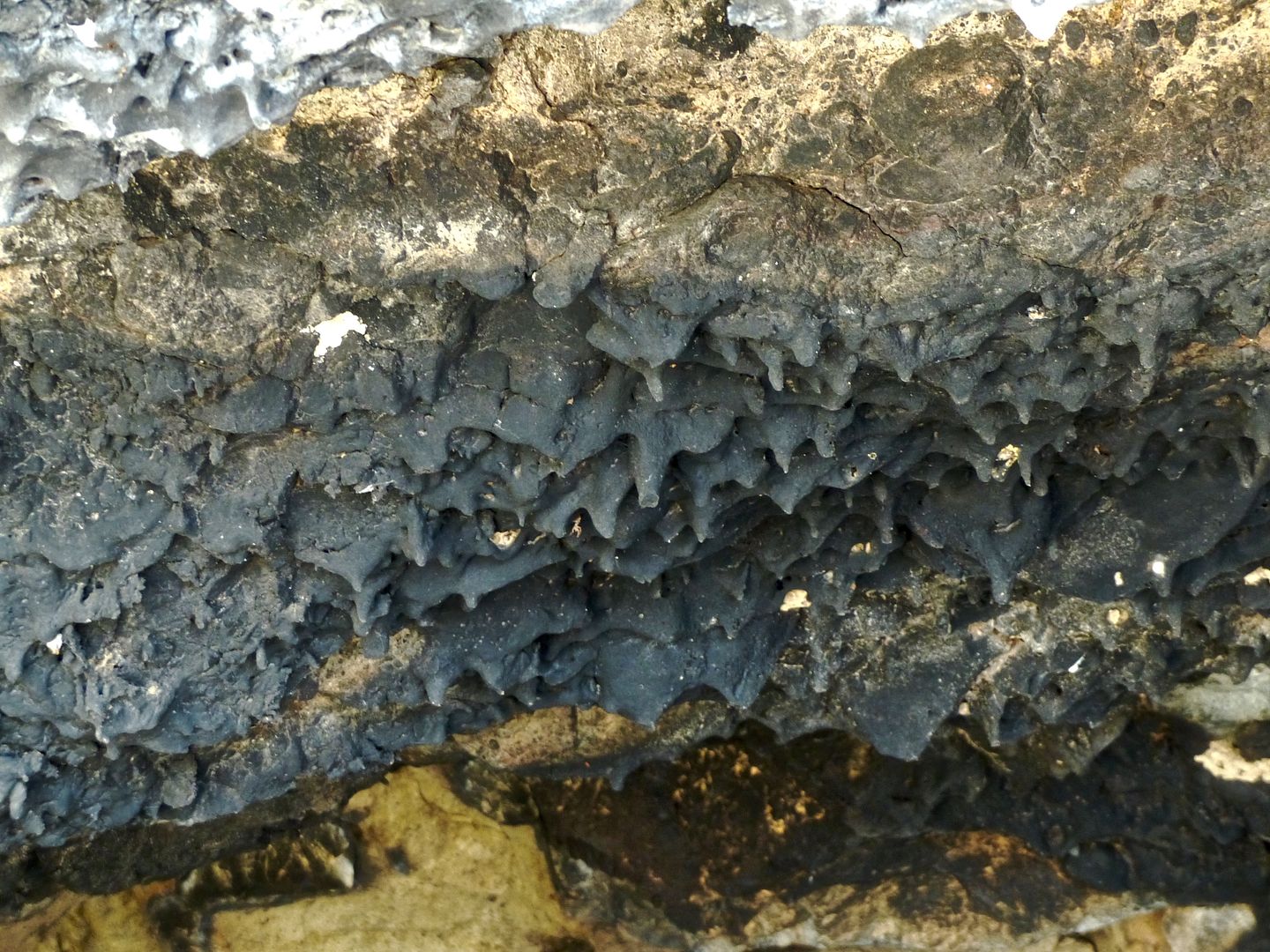
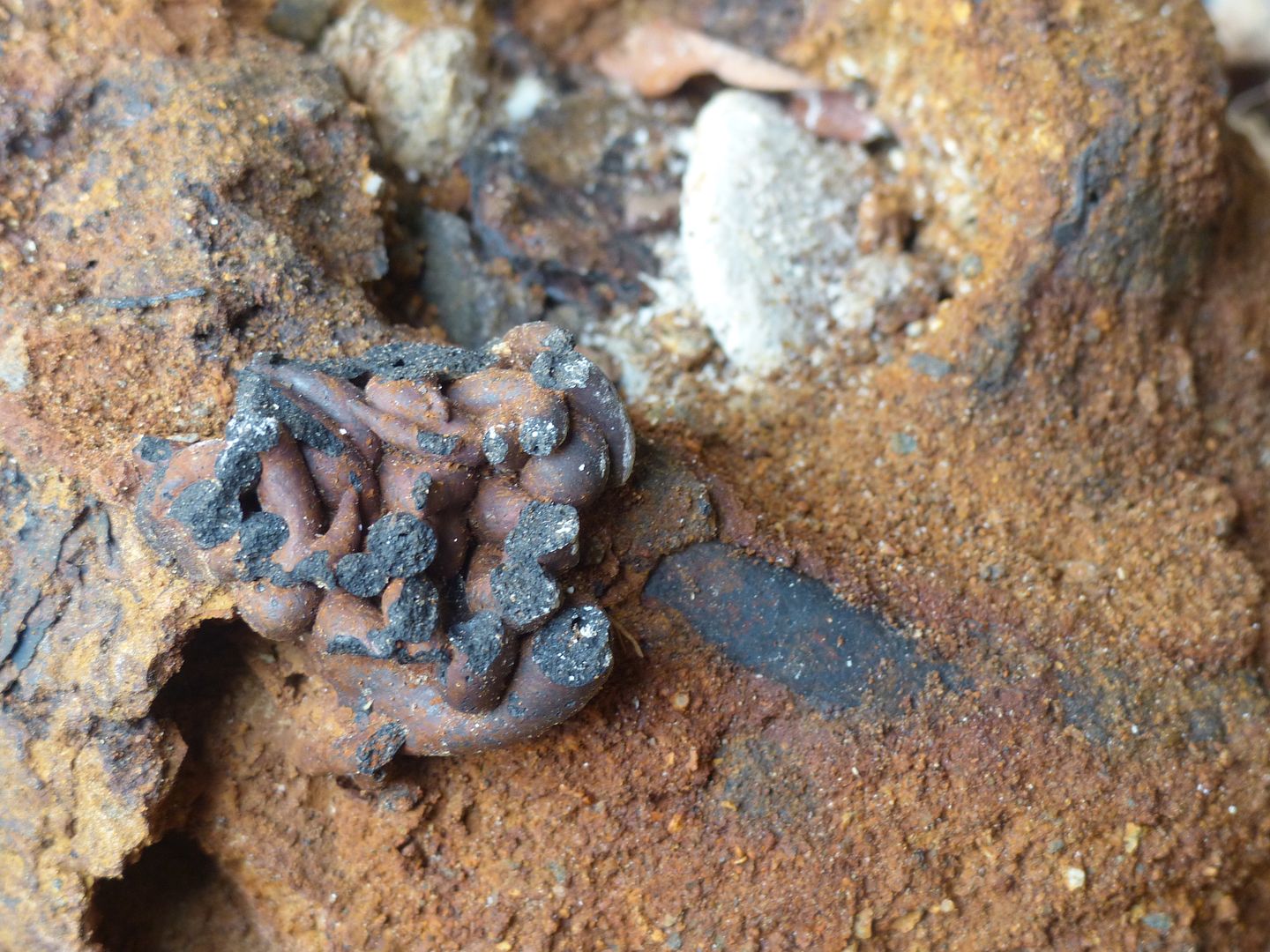
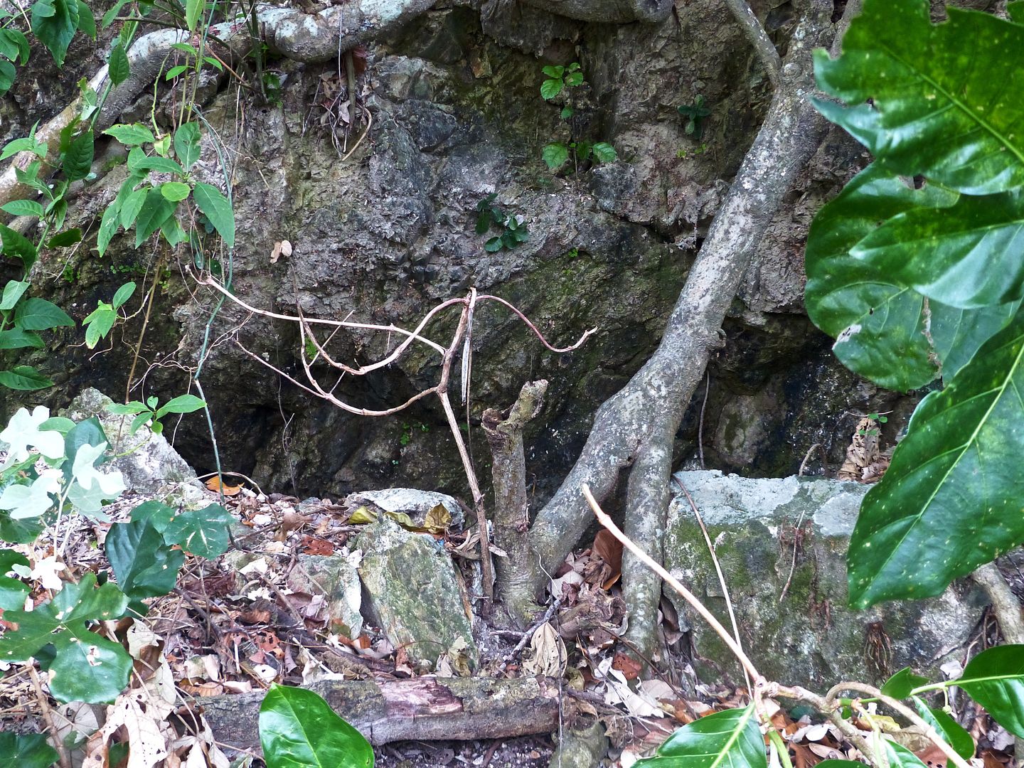
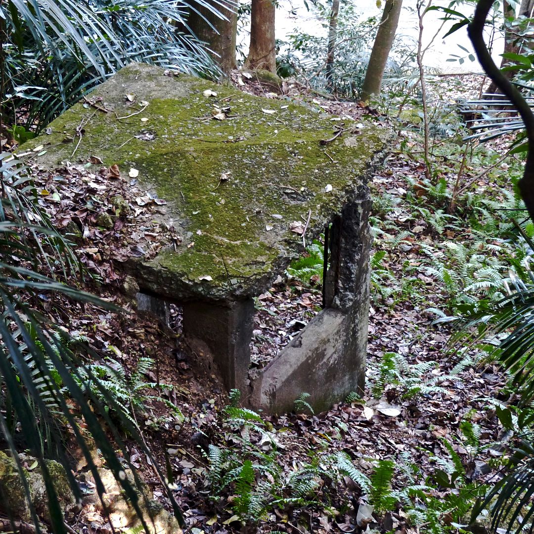
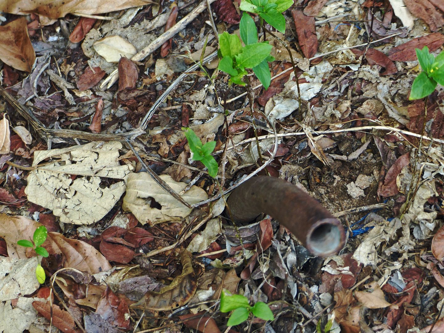
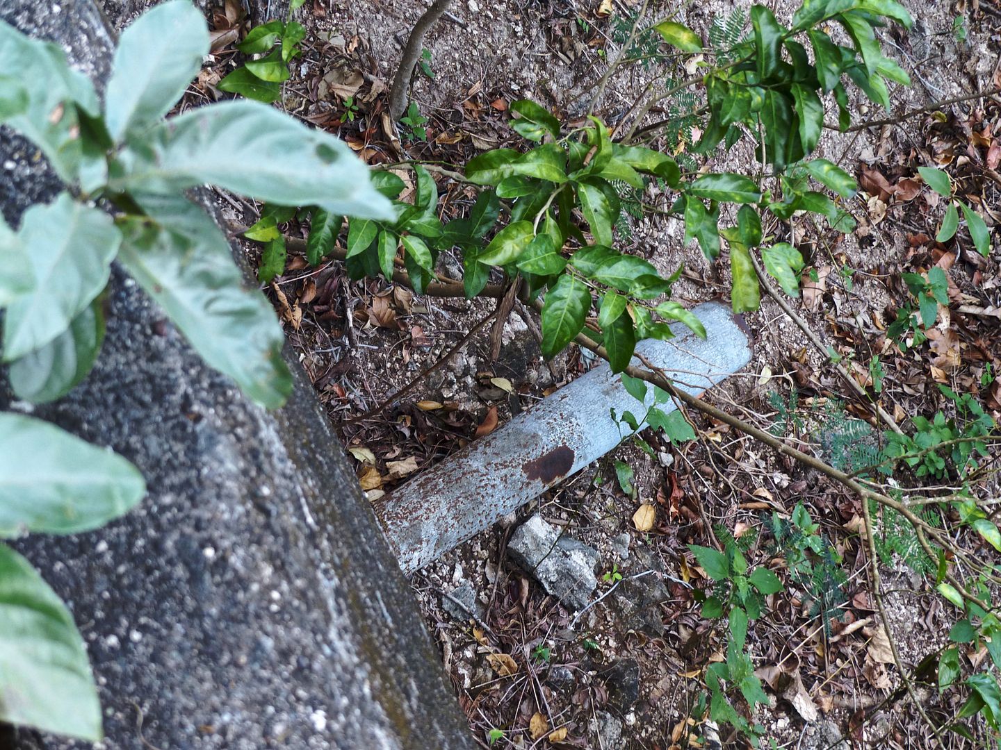
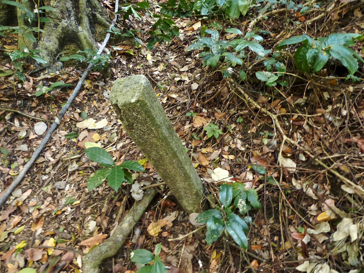
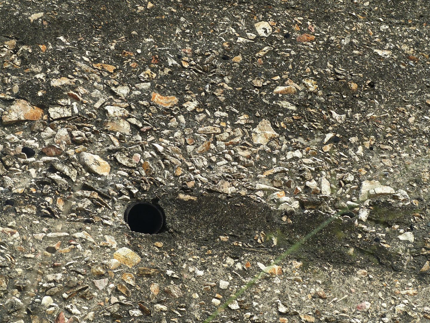
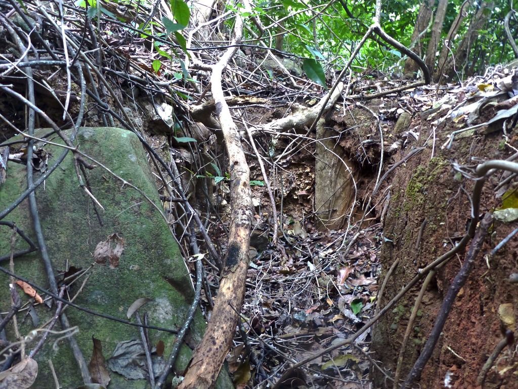
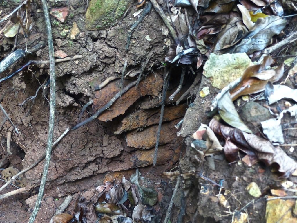
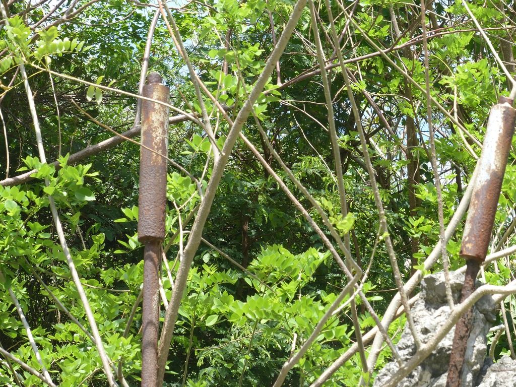
I don't have any idea as to what this is, but it was in the area, so I took a photo anyway.
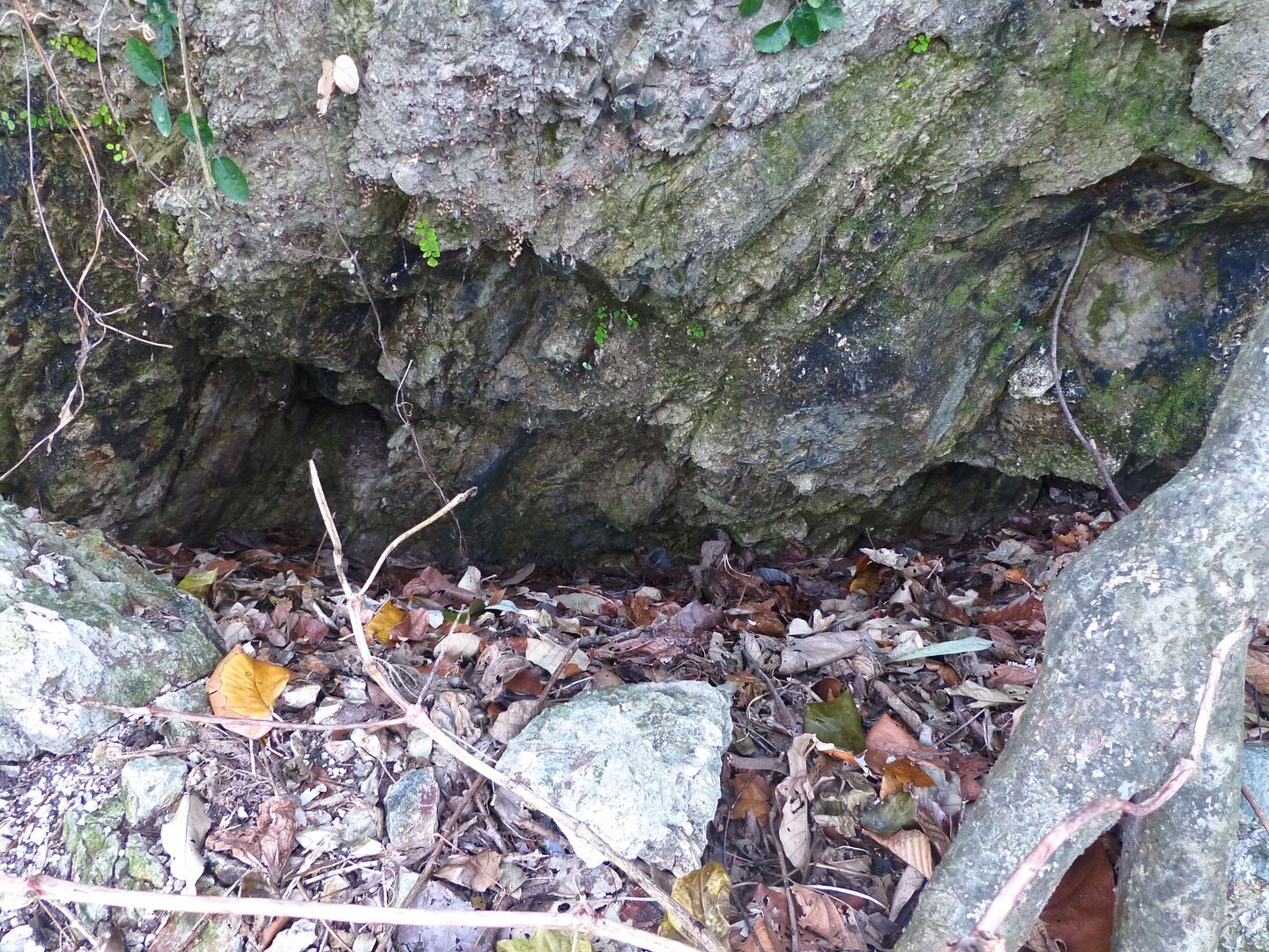
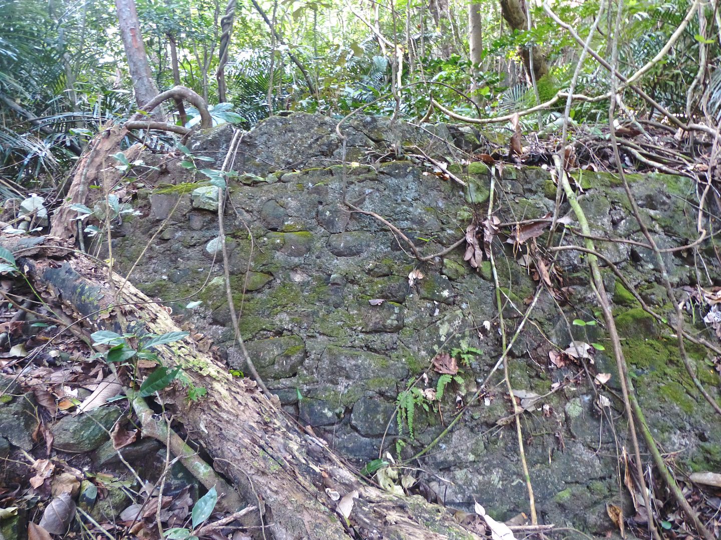
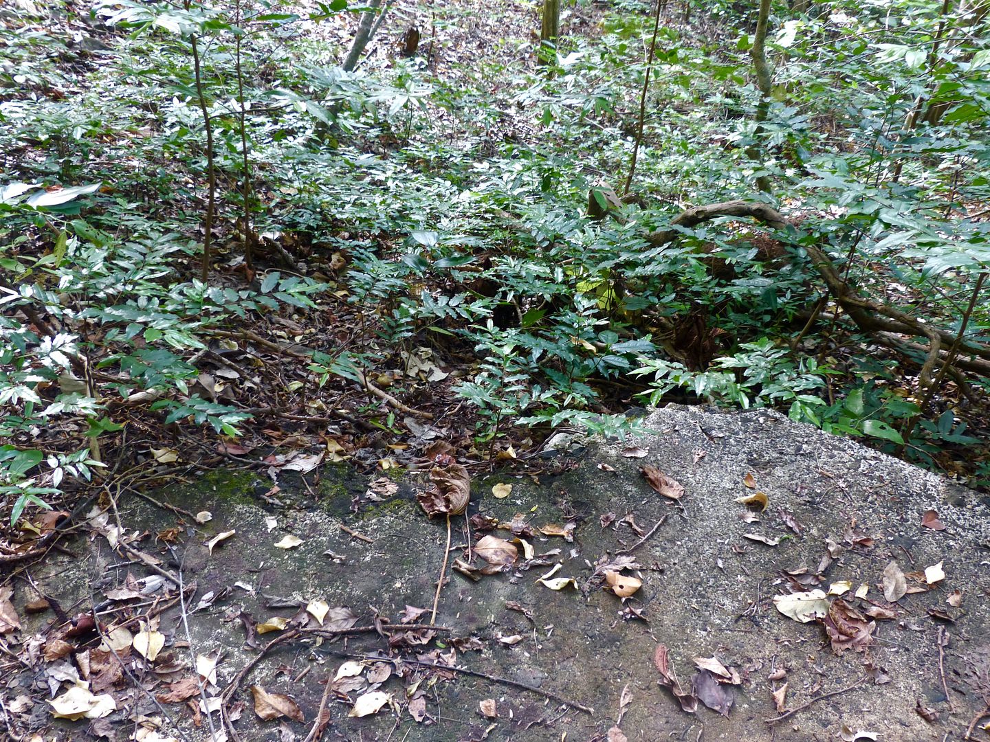
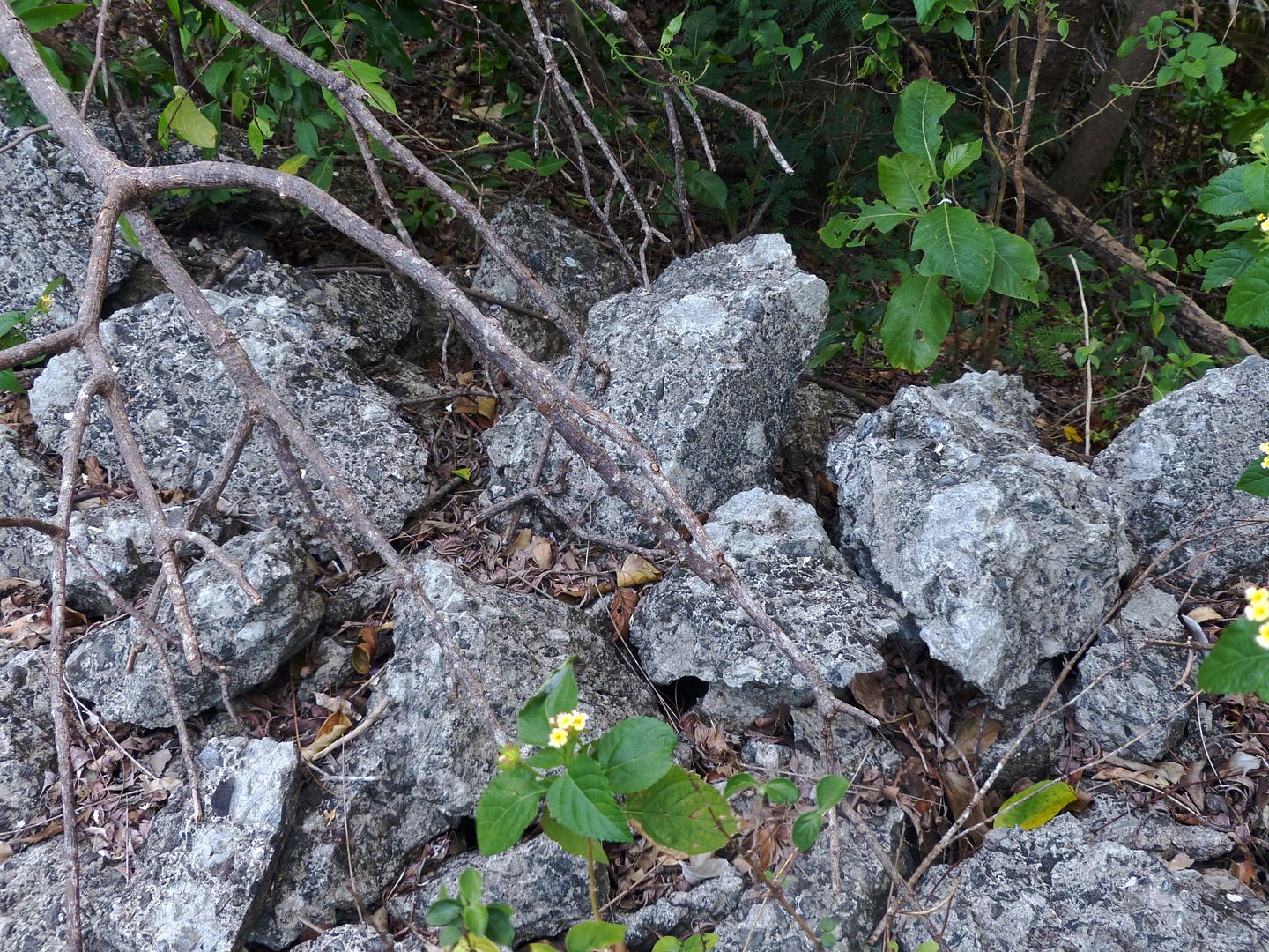
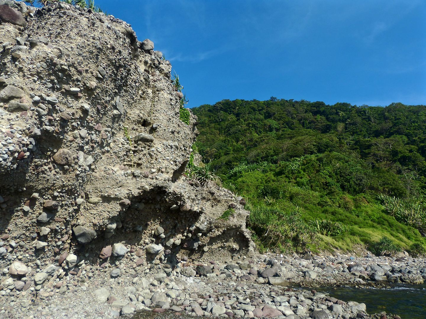
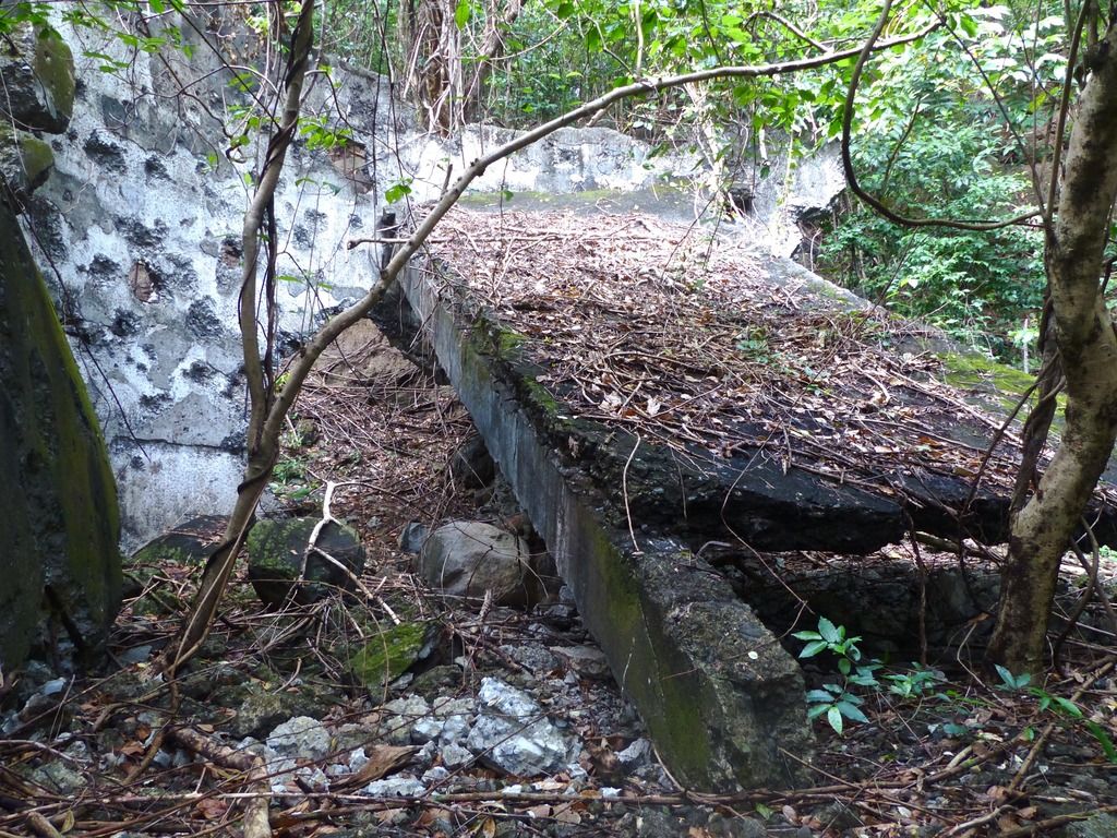
There's a cumber of pieces of concrete and rubble on the hill.
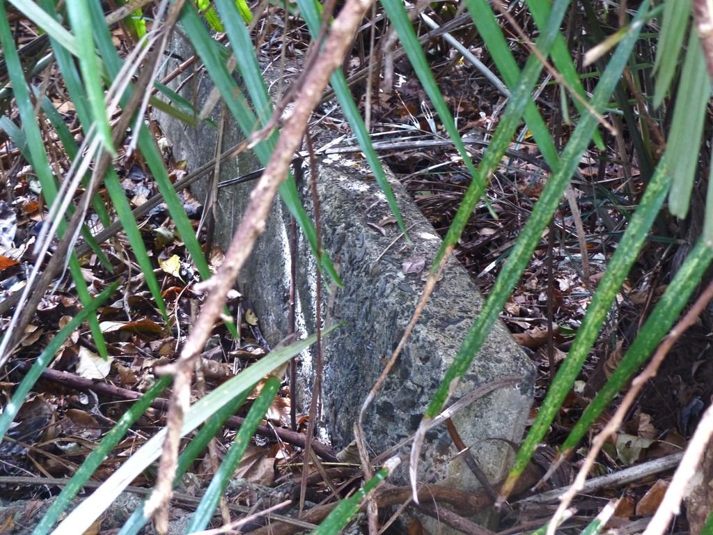
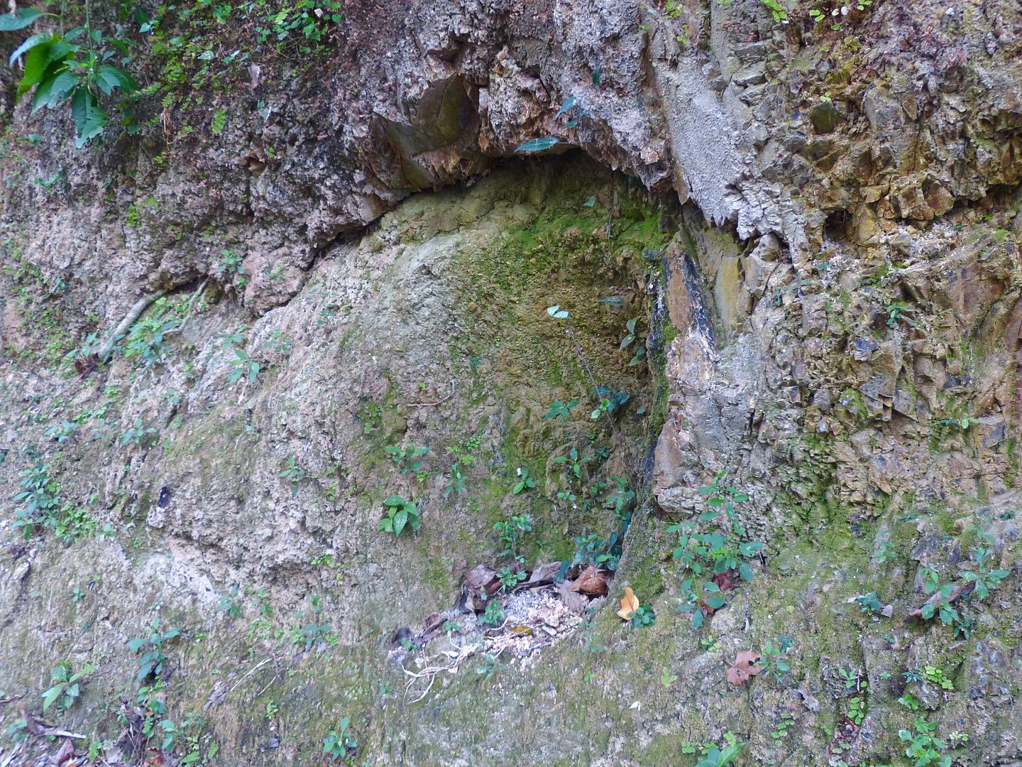
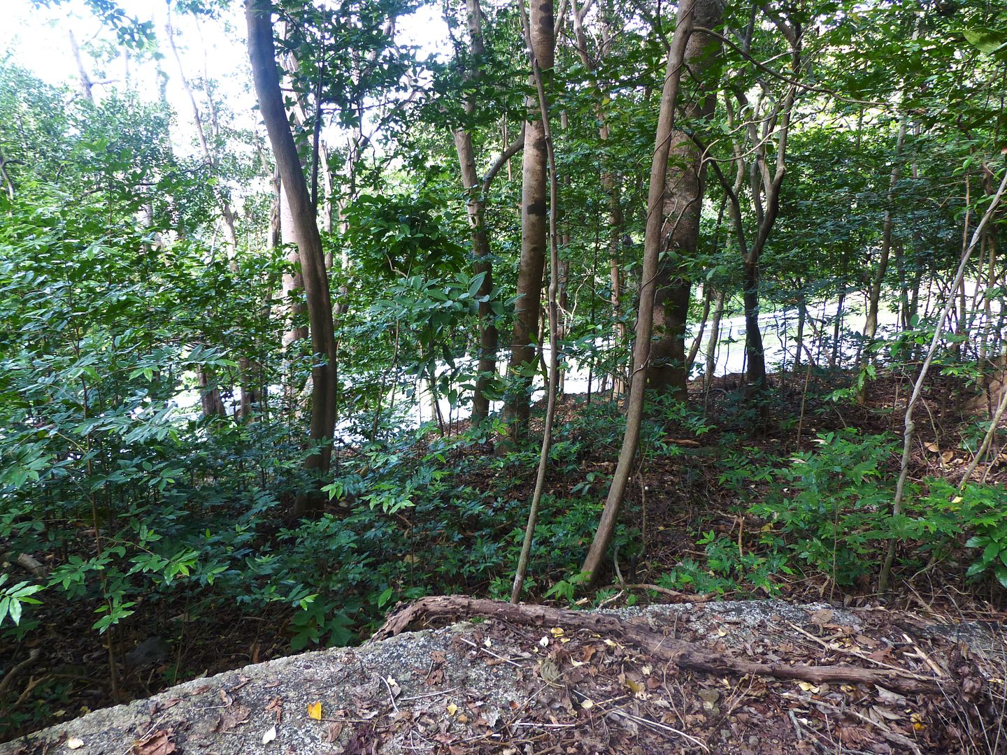
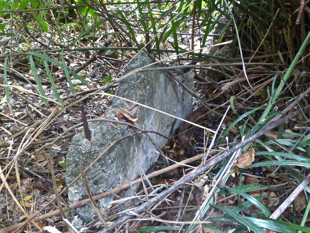
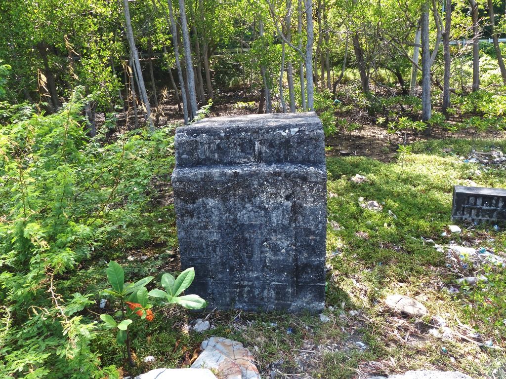
More concrete. I think these particular pieces of concrete are part of VII-M-5. The area is quite overgrown.
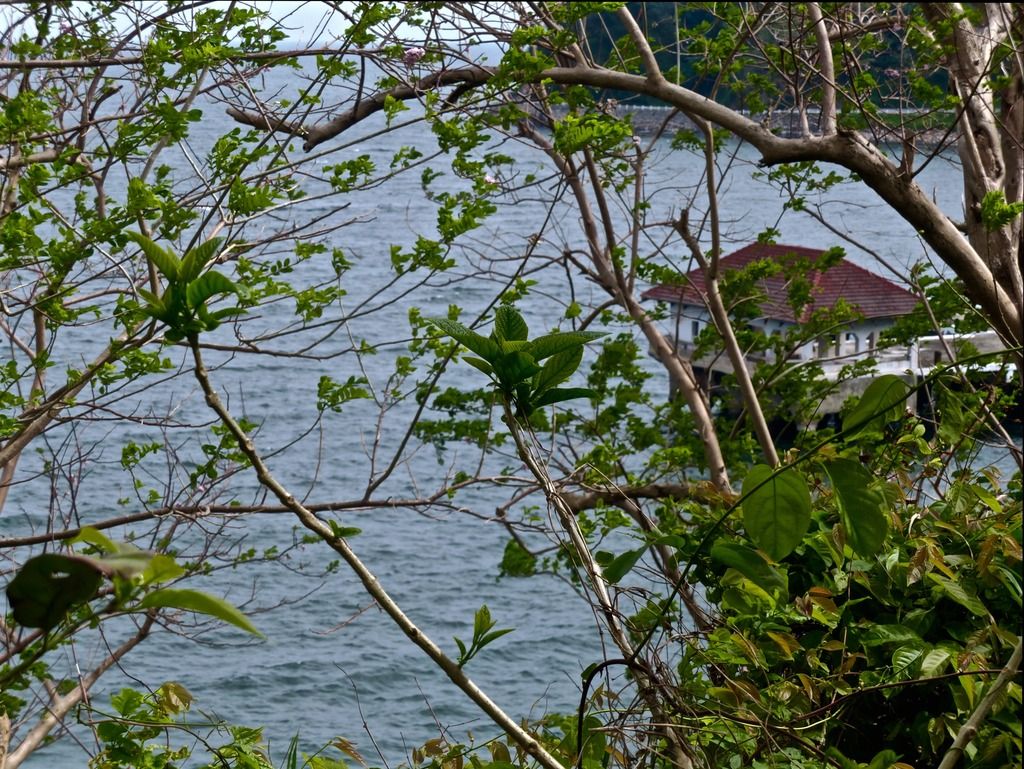
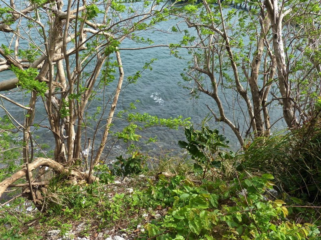
The wharf from the side of the hill.
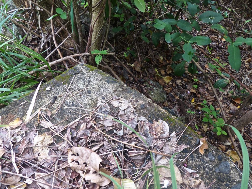
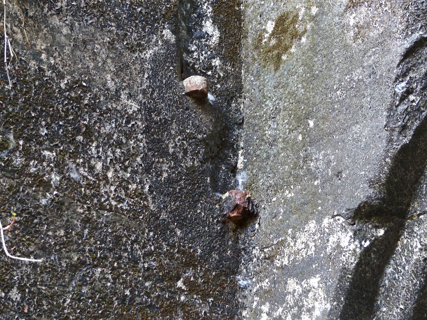
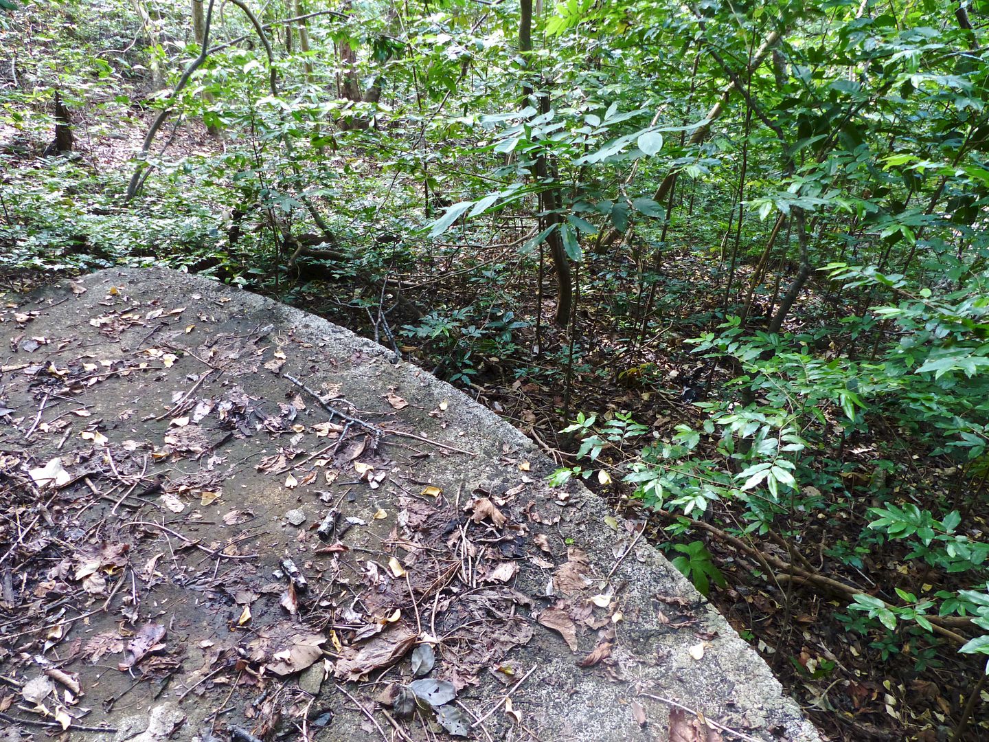
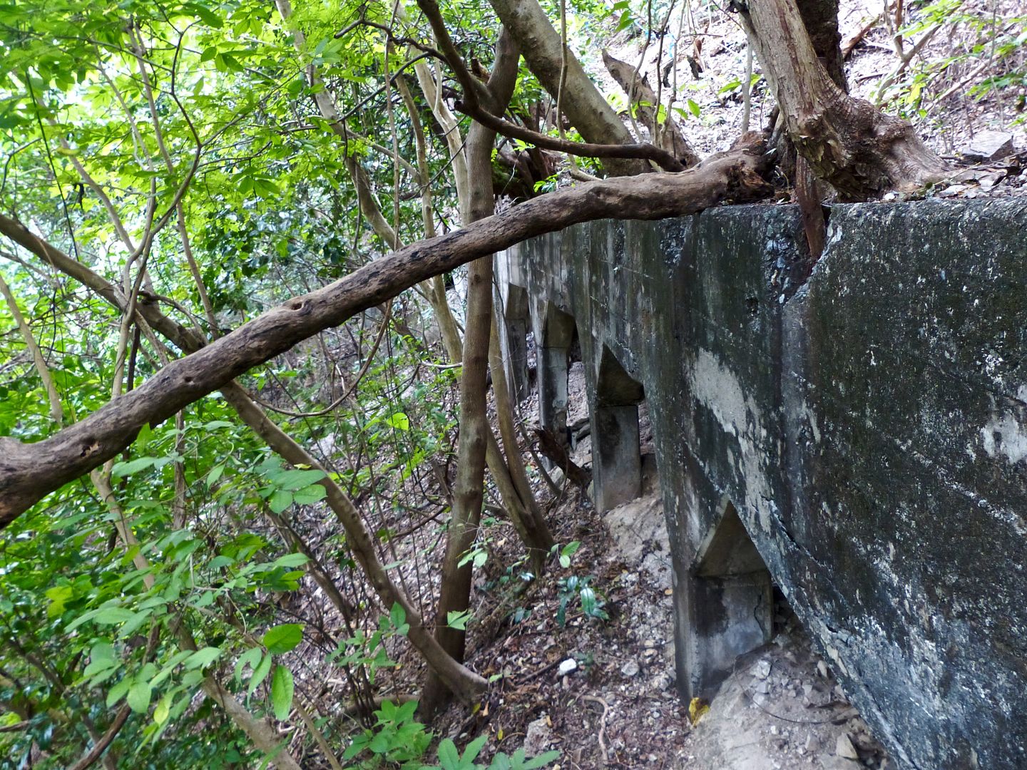
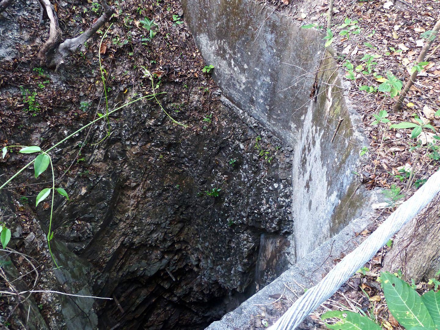
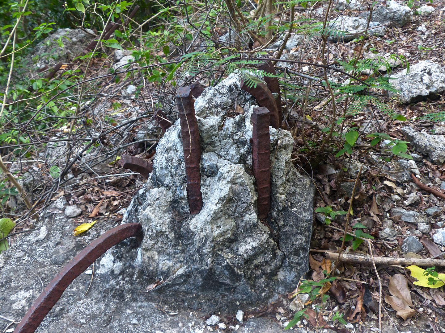
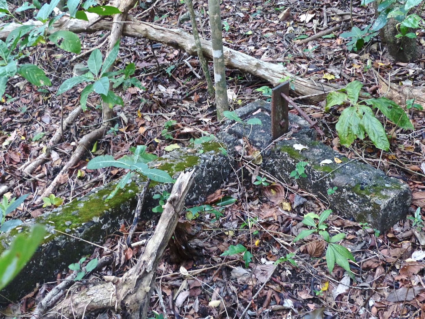
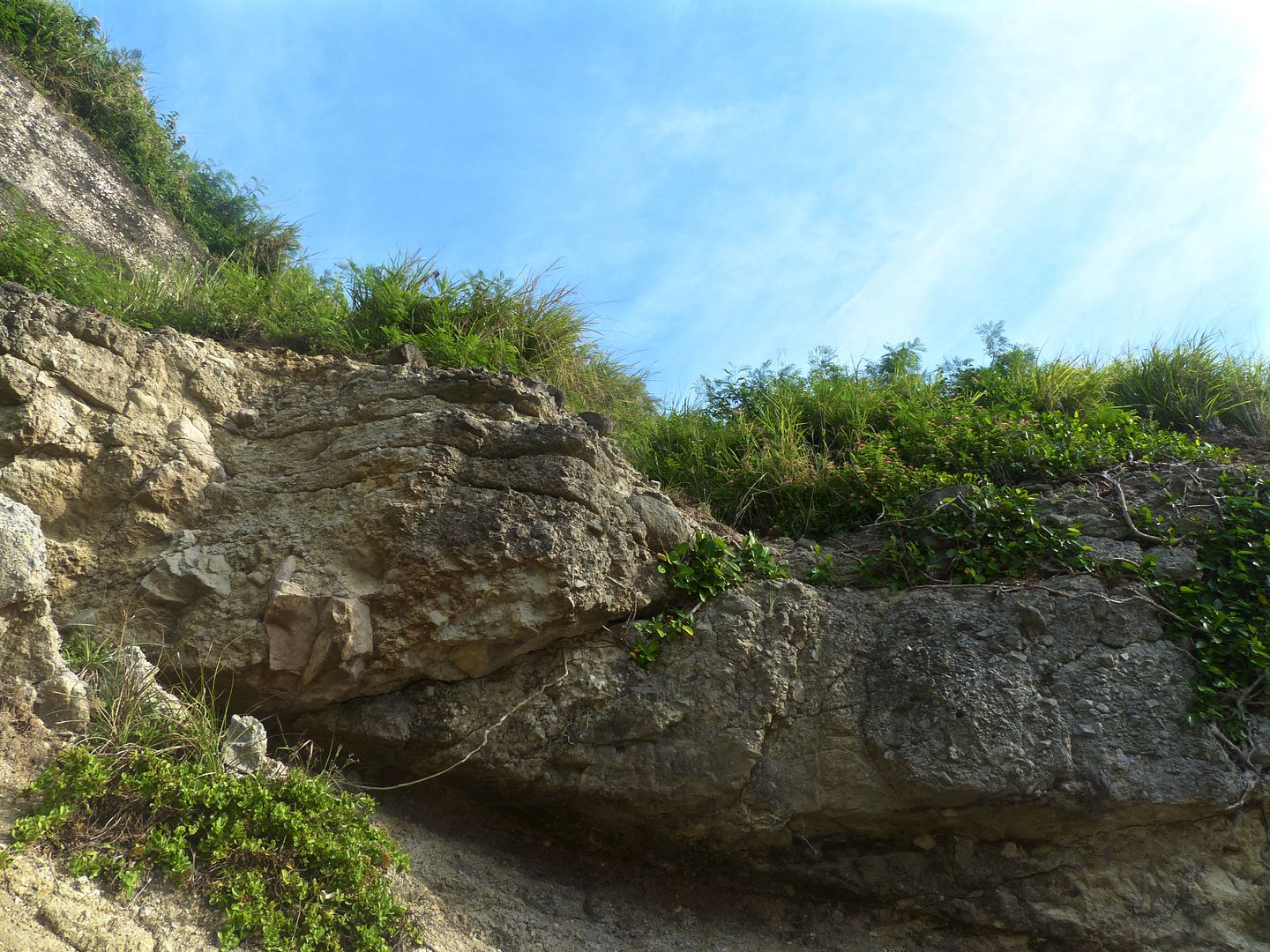
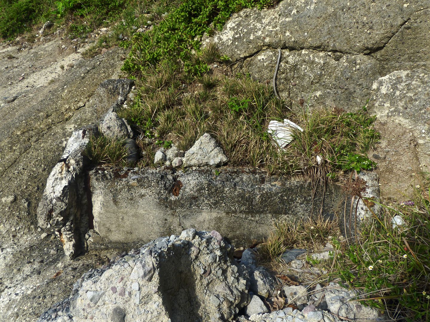
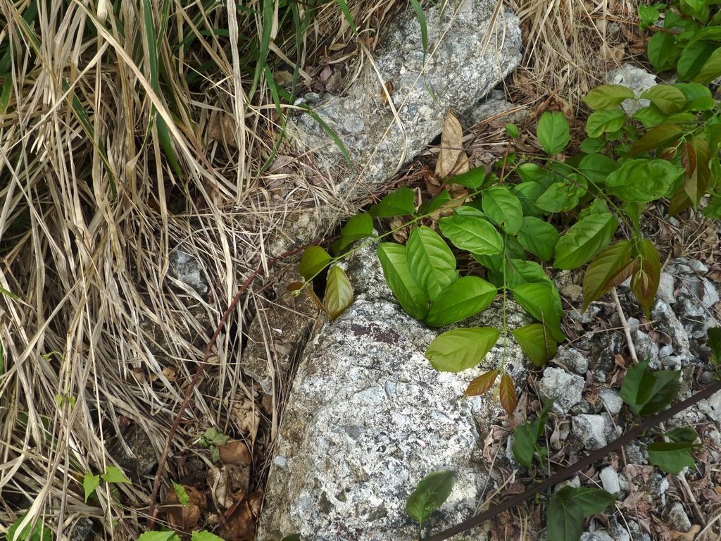
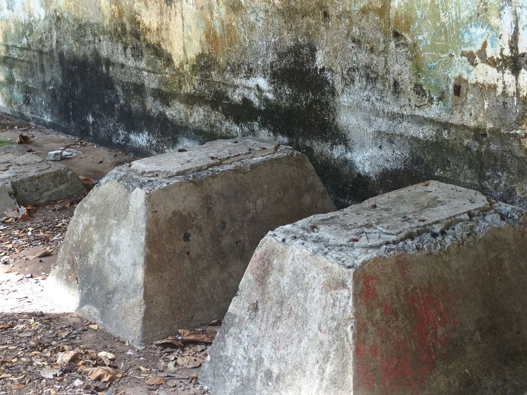
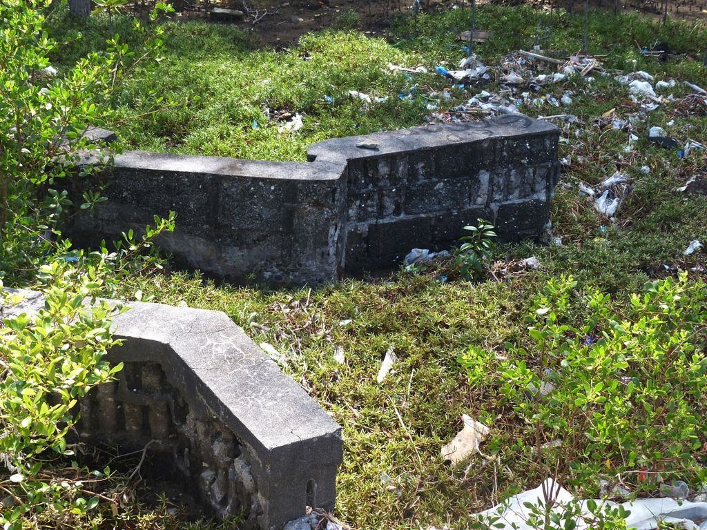
I noticed an edge to the concrete.
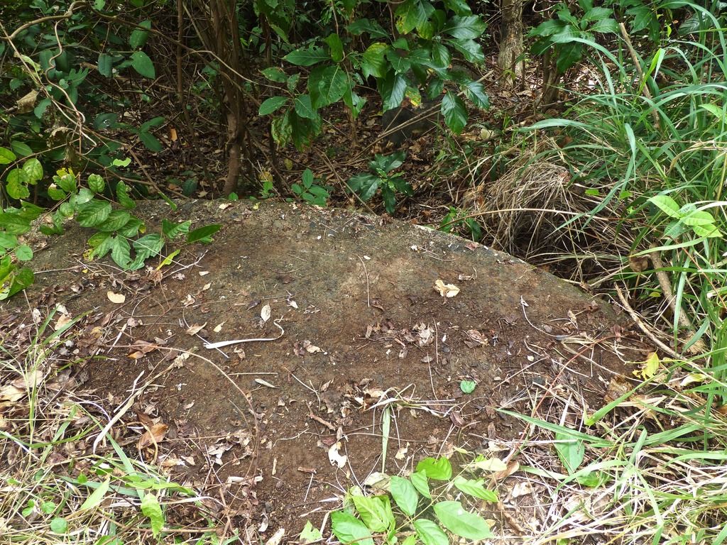
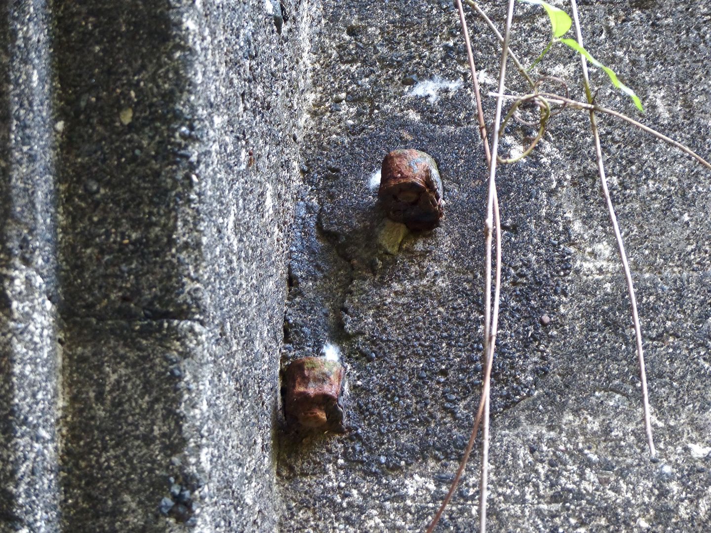
I cleared some of the brush away to get a better view of the 6-Pounder mount.
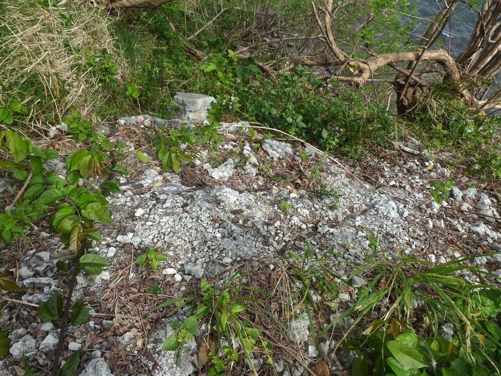
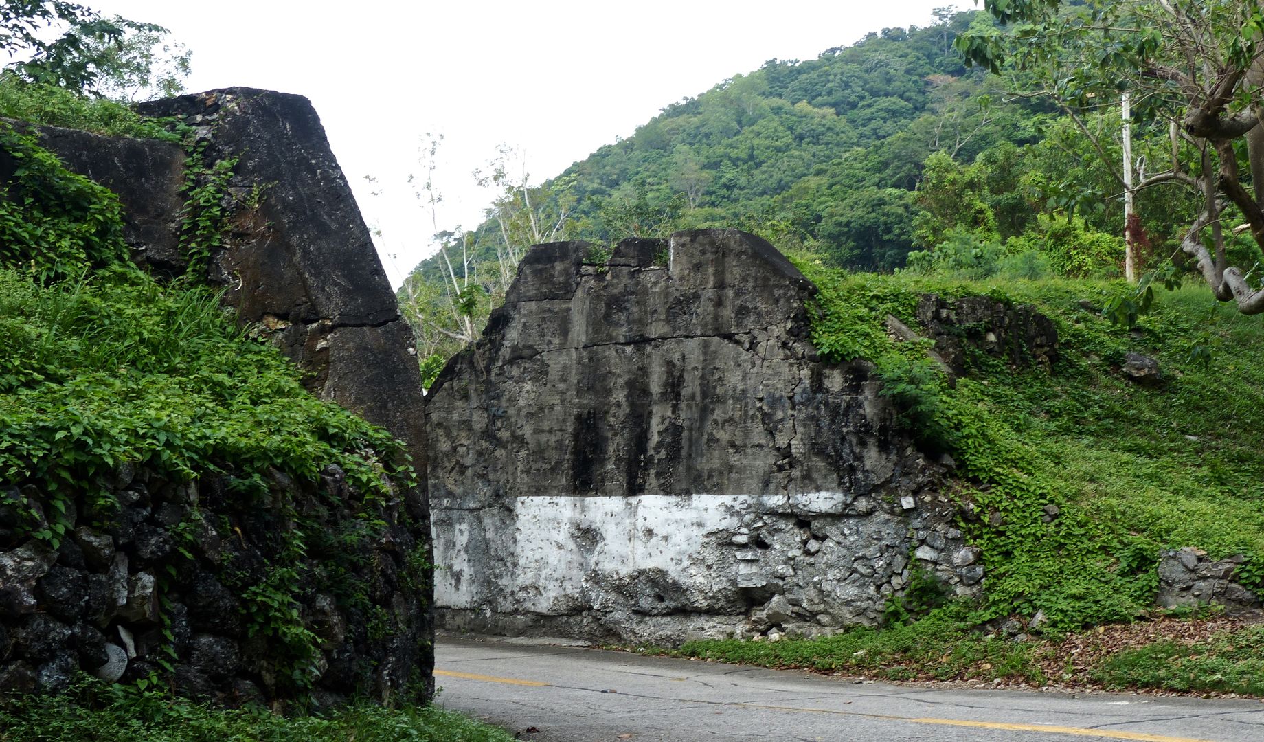
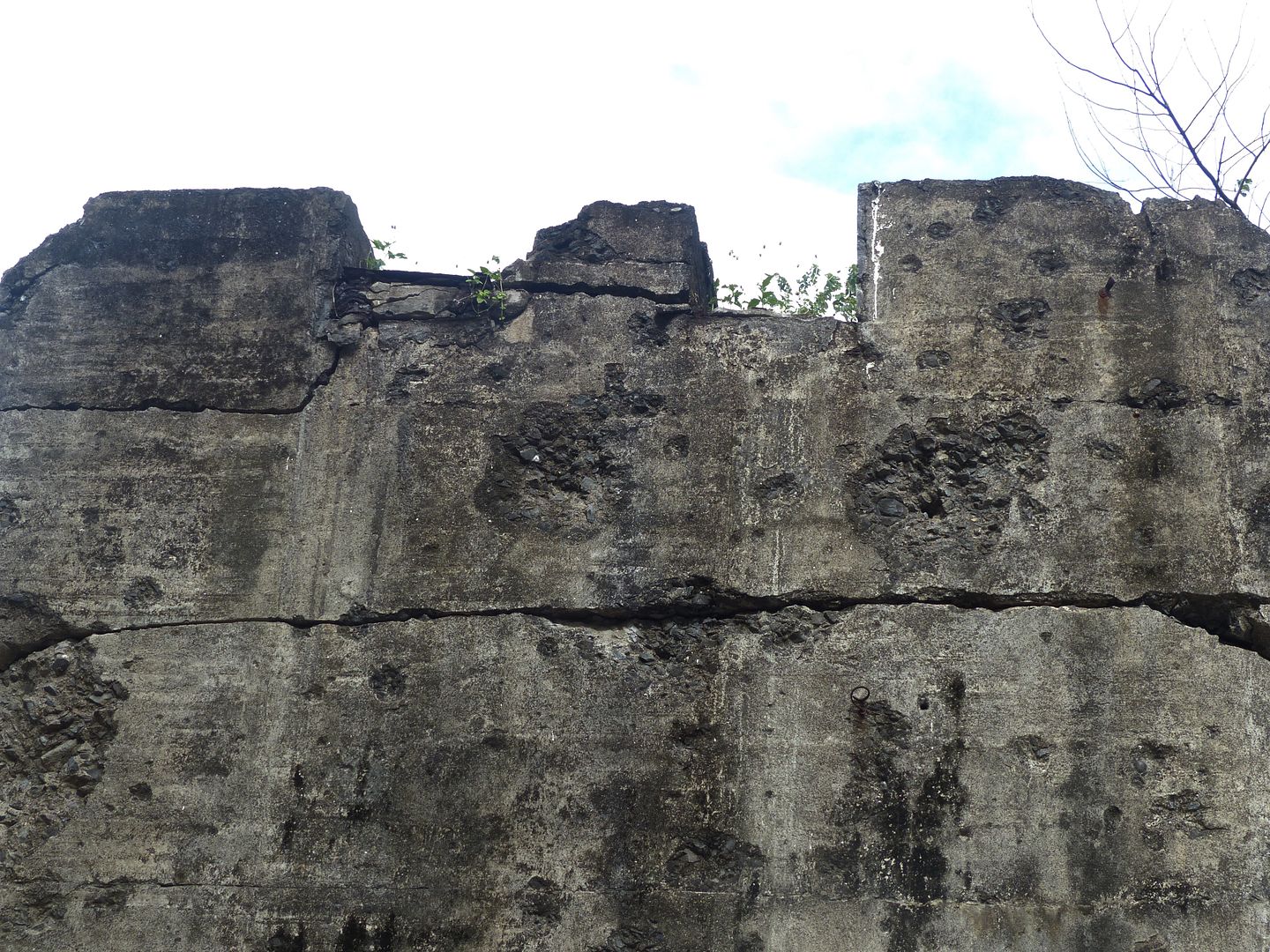
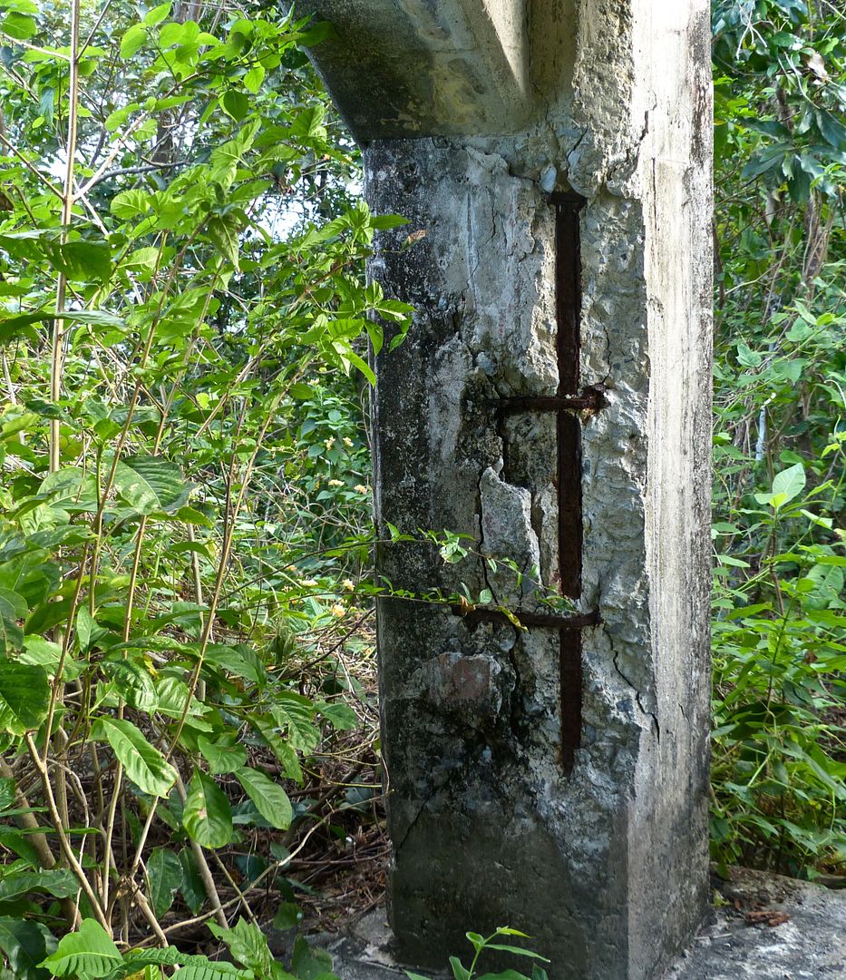
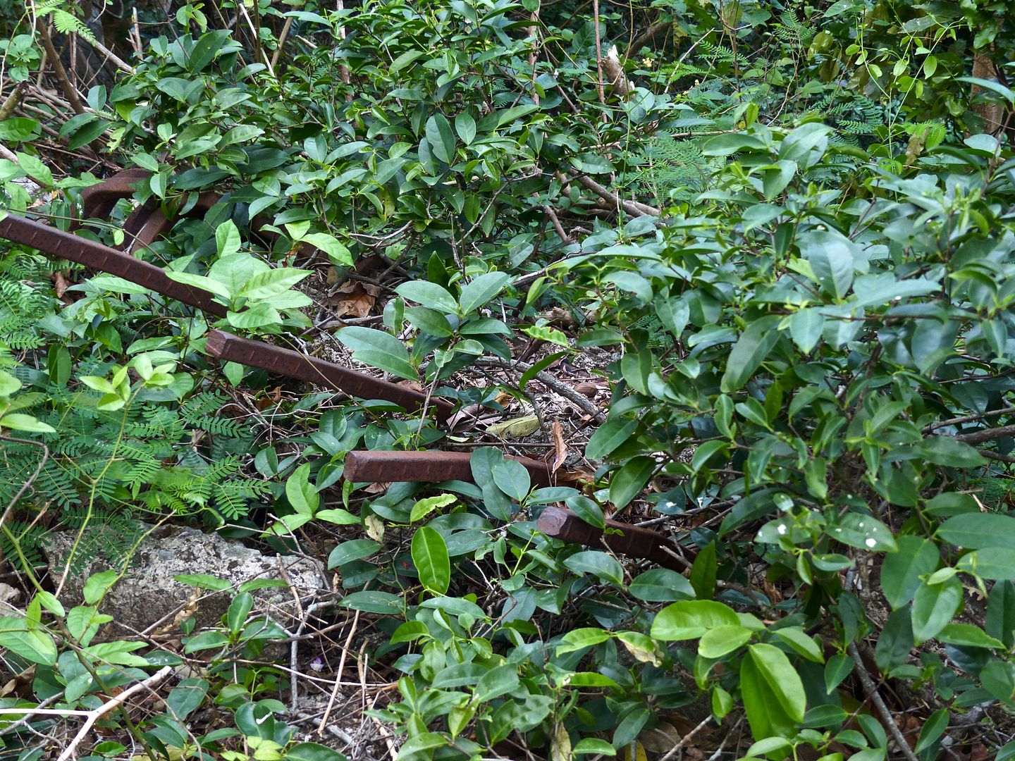
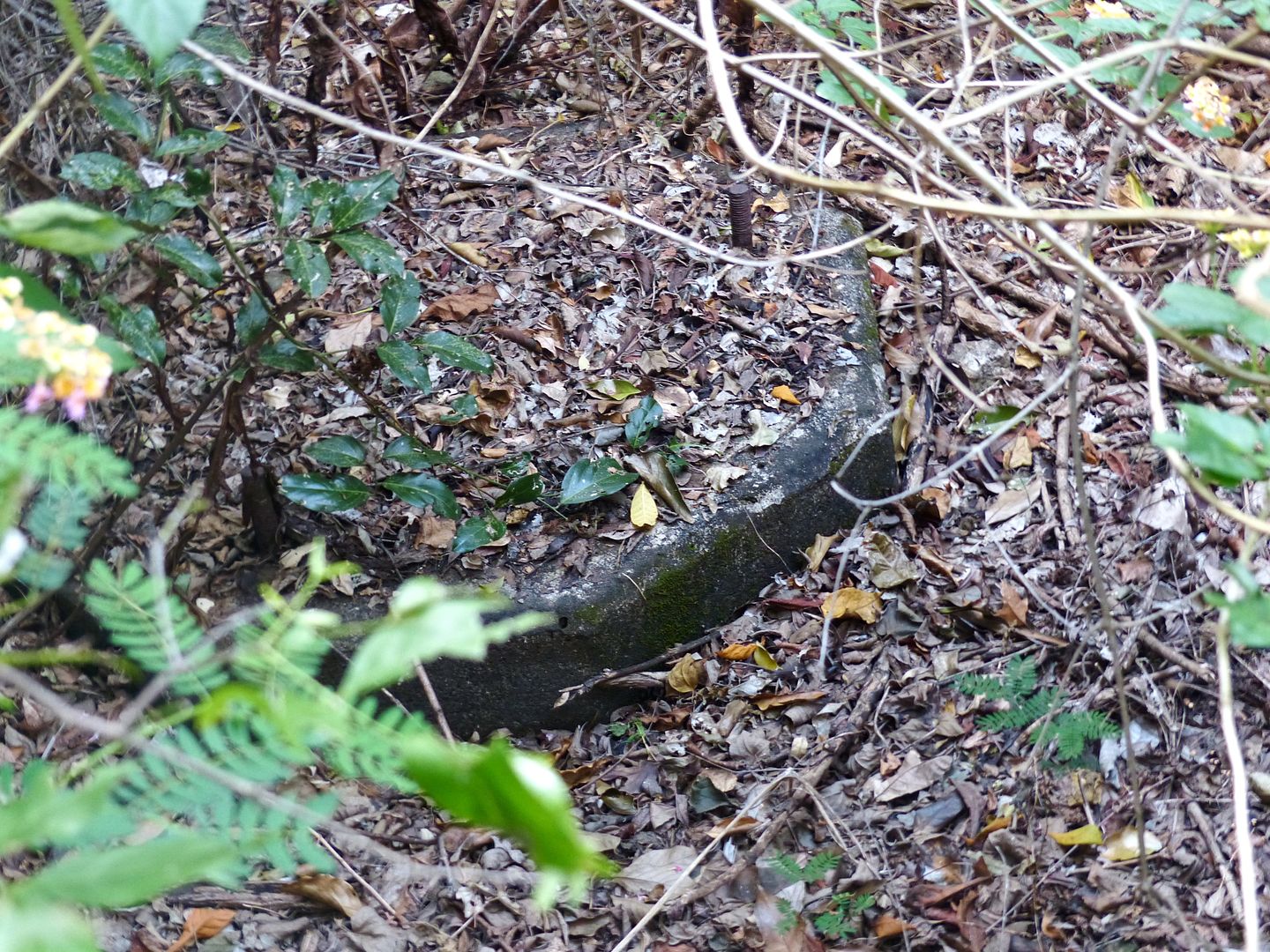
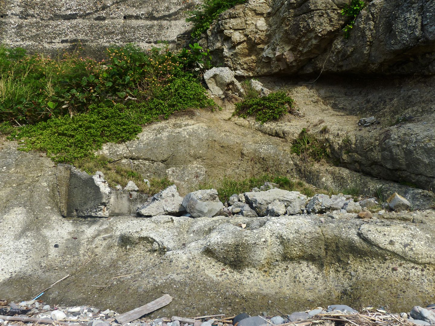
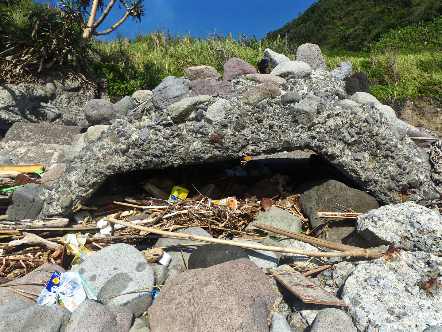
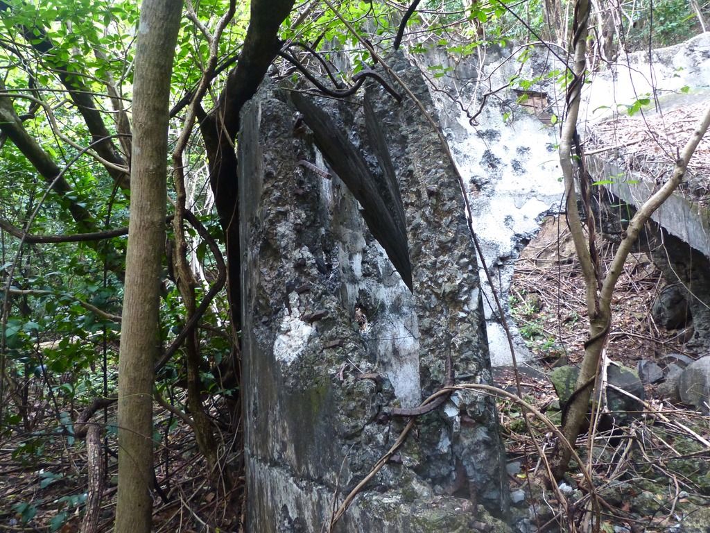
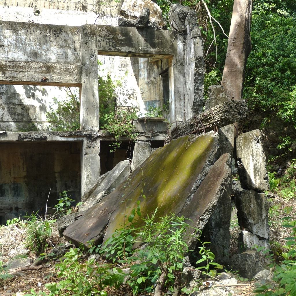
Nearby the 6-Pounder mounts, there is a significant amount of rubble from where there once was a gun shelter.
More pieces of the shelter.
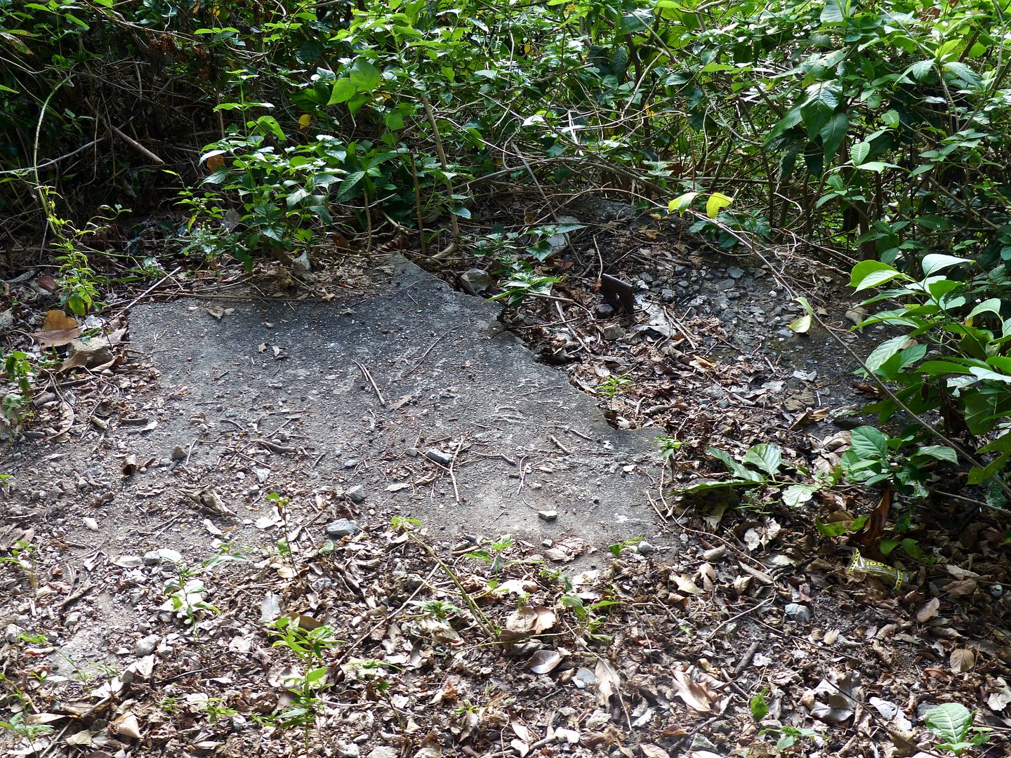
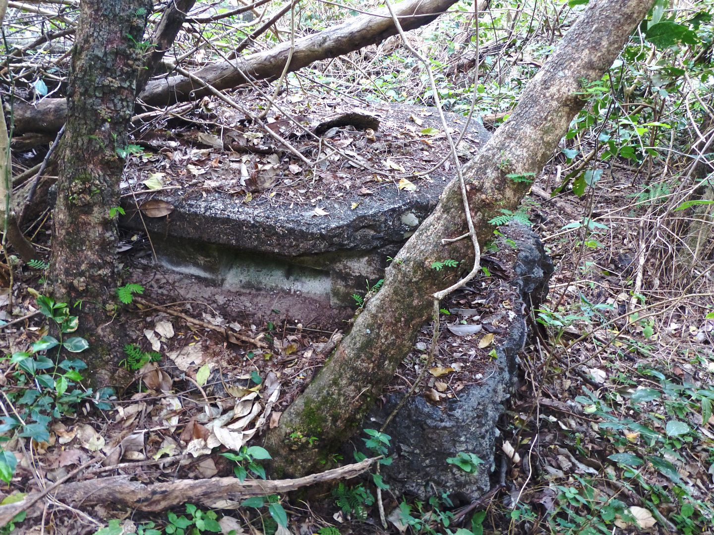
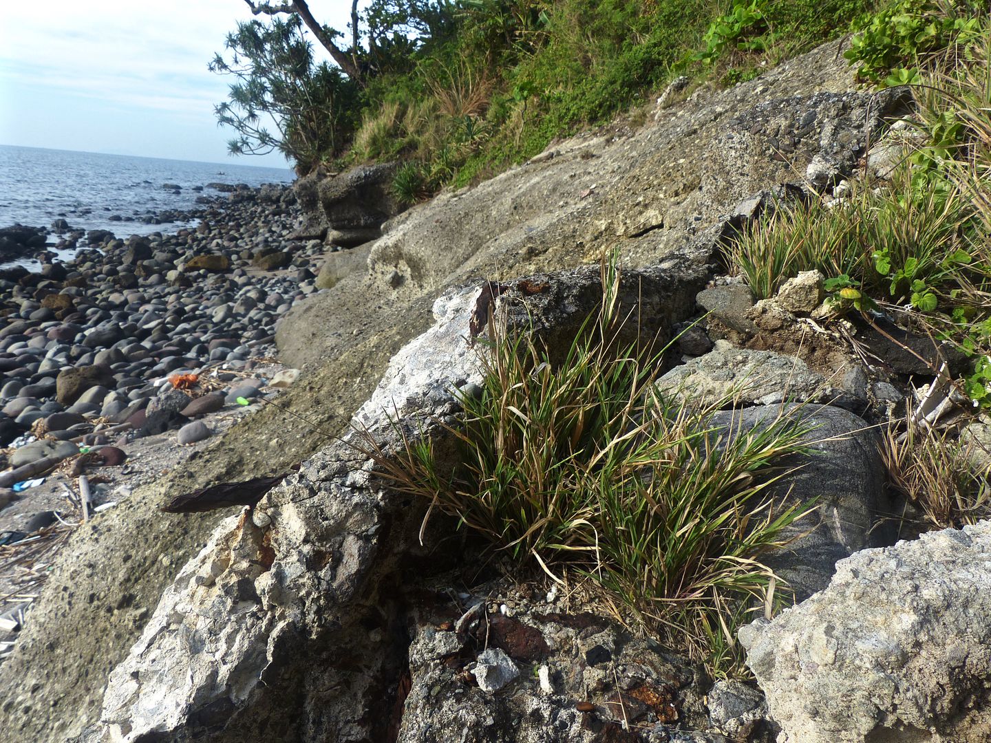
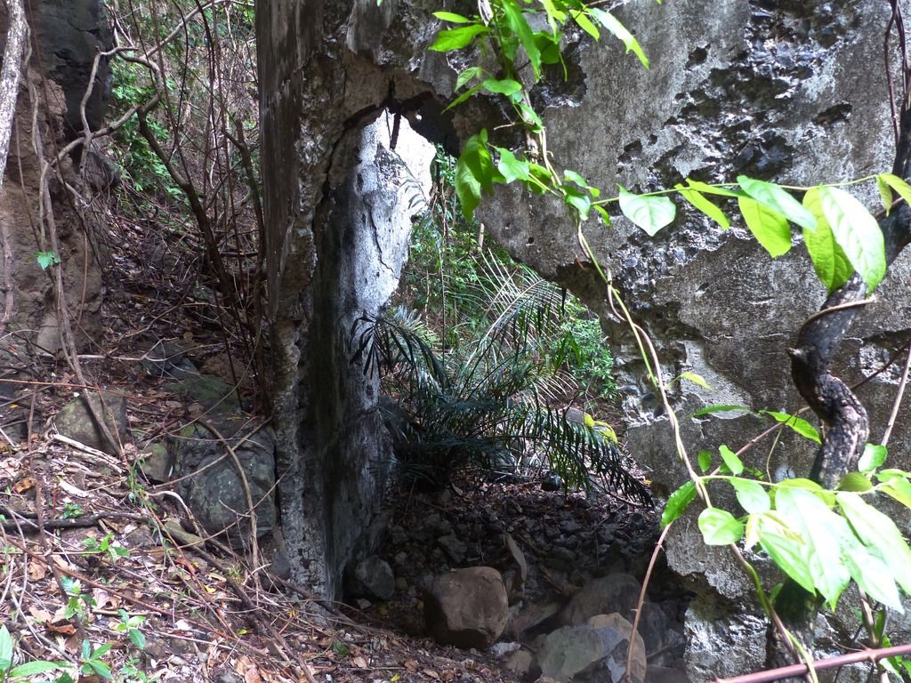
The larger pieces of the shelter must have slid down the hill here.
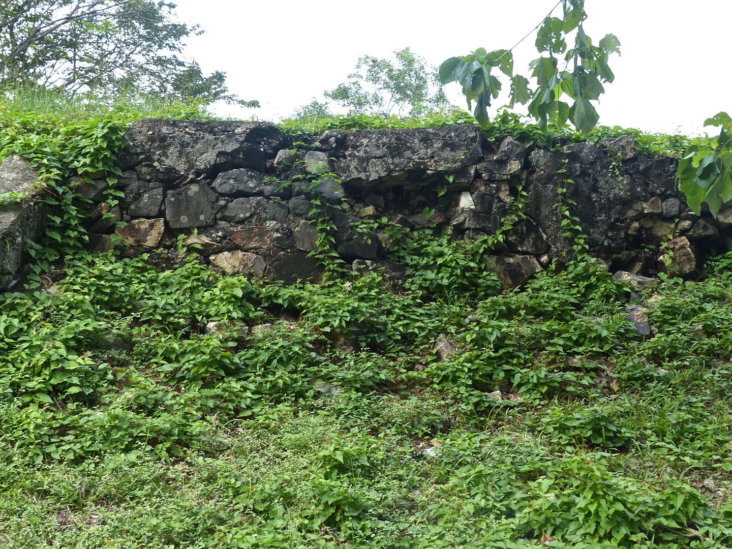
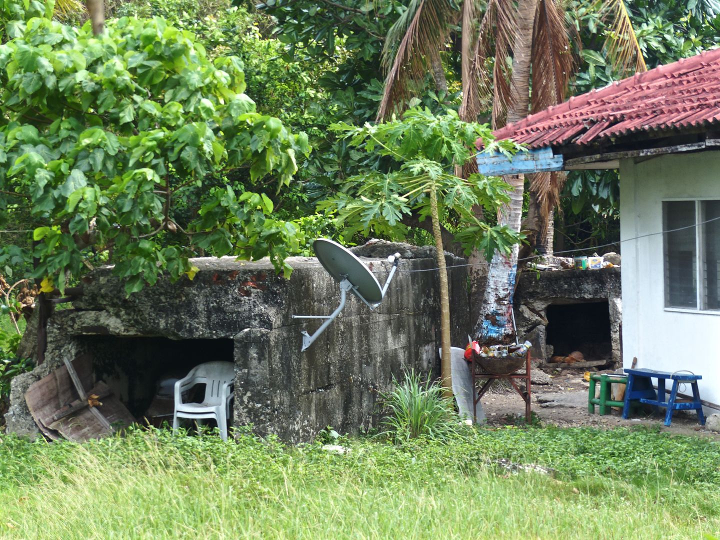
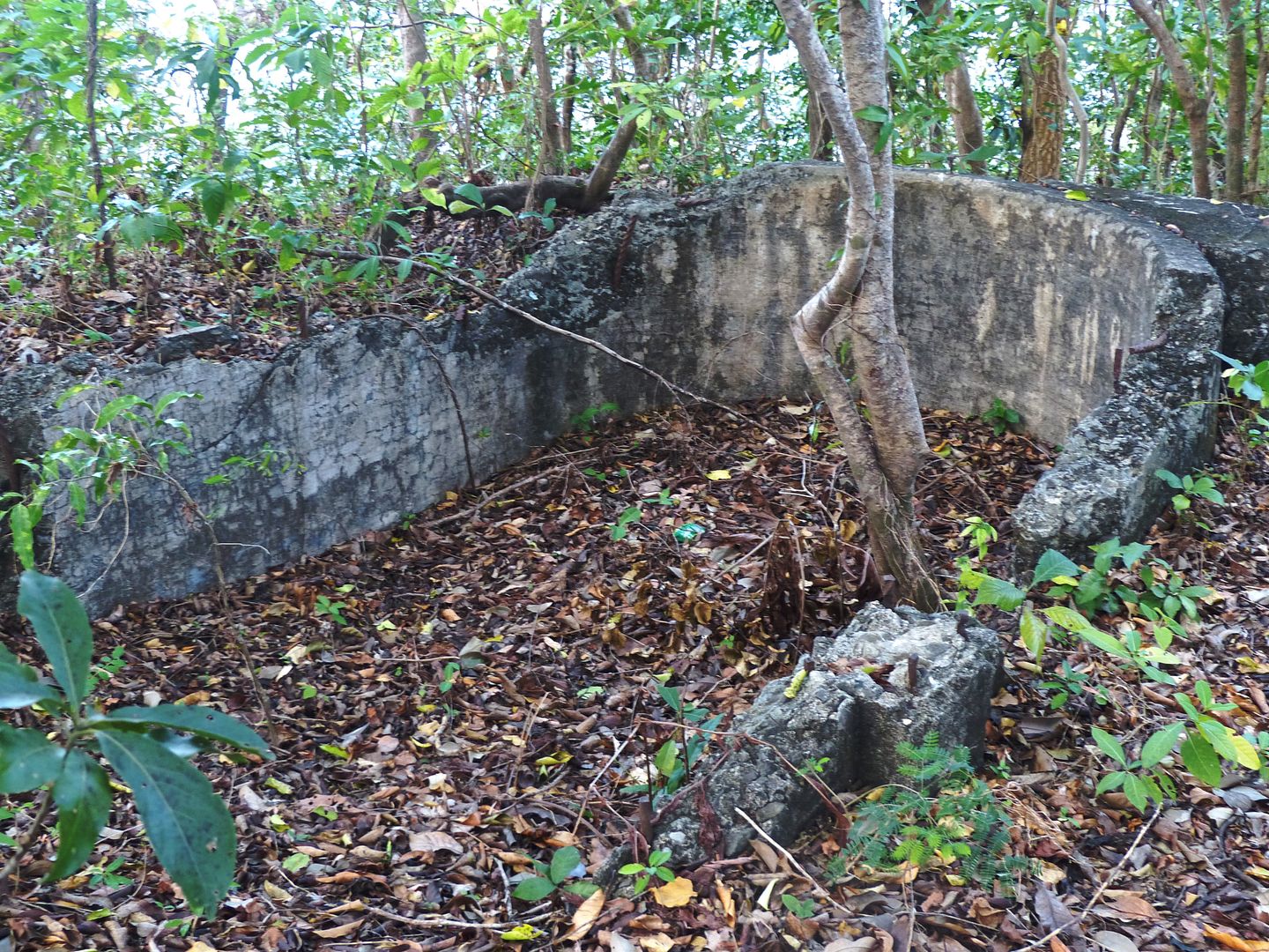
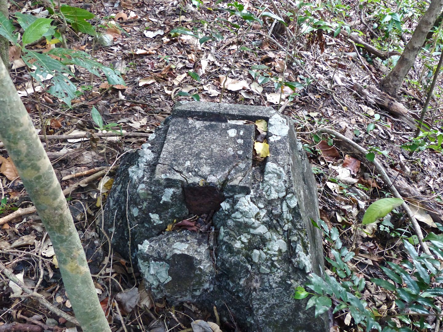
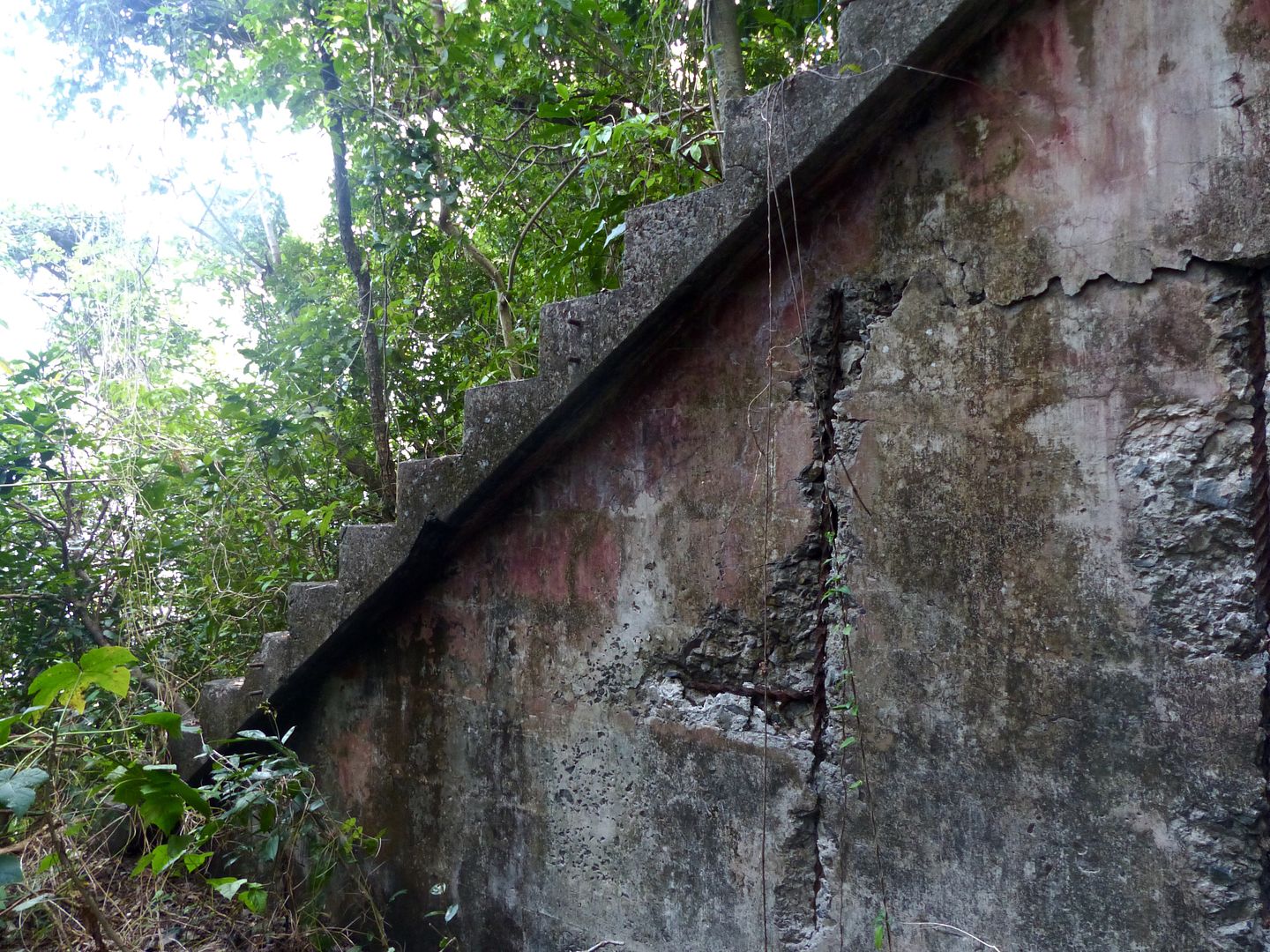
I continued up the hill towards the pistol target range. Here's a few pictures of the nearby semicircle shelter.
Next I took some photos of the water tank. About half of the wall is destroyed.

Looking back at the semicircle building as I walk up the hill.
I came across VII-F-2.
One entrance to the central magazine.
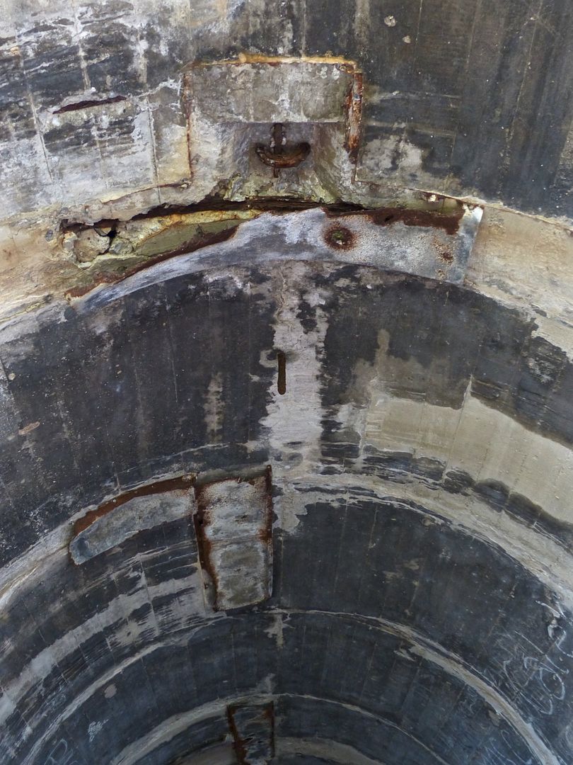
The ceiling has been partially destroyed.
So have the walls.
The other side of the magazine.
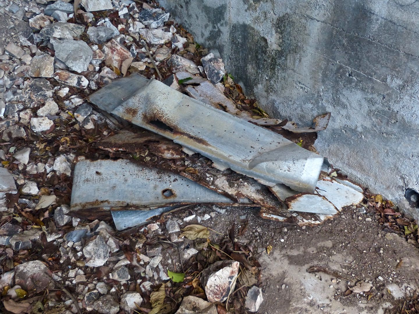
There's an adjacent trench that has been dug.
The sides seem to have been reinforced by corrugated metal.

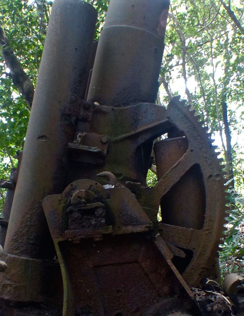
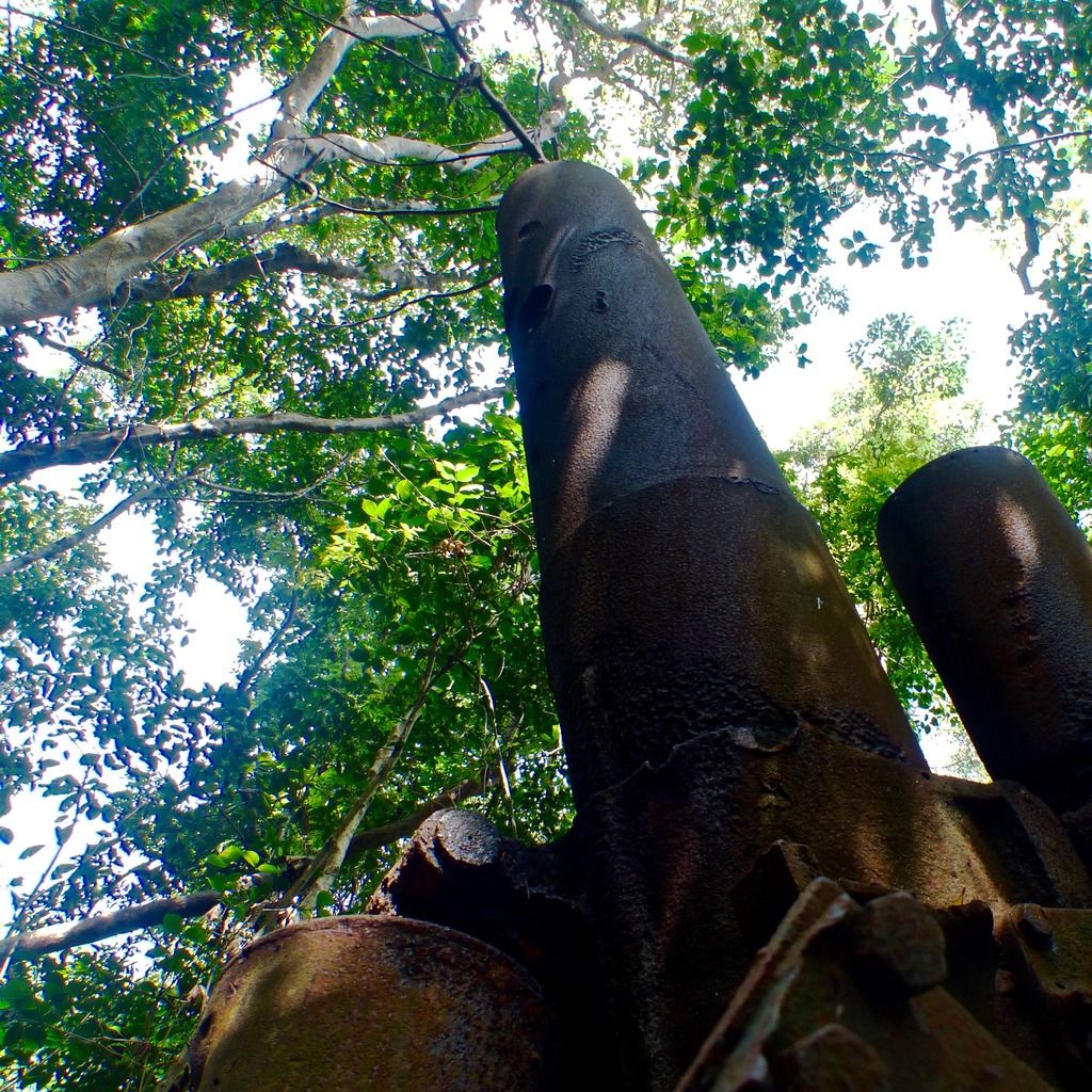
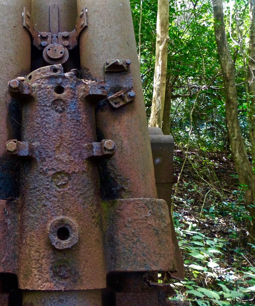
I had forgotten that the Japanese A.A. Gun was in the area, so that was a nice surprise.
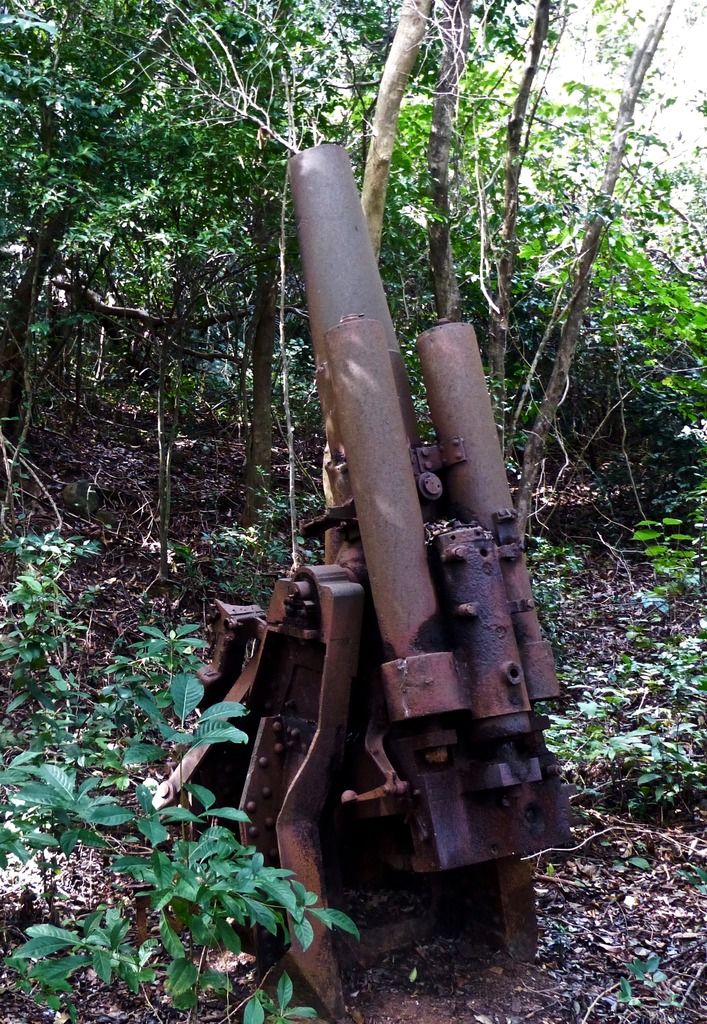
Could the nearby VII-F-2 have been used as a magazine for this A.A. Gun during Japanese occupation?
I finished up on the hill and walked back down the path.
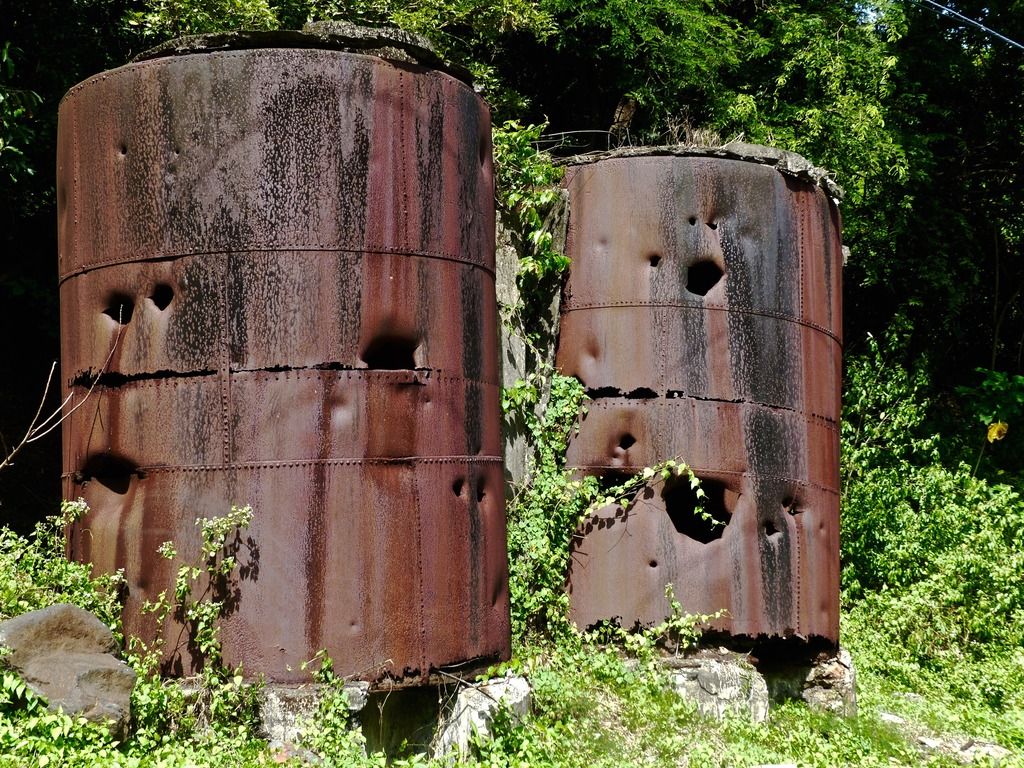
Diesel tanks in Engineer Ravine.
Here's the Diesel Power Plant.
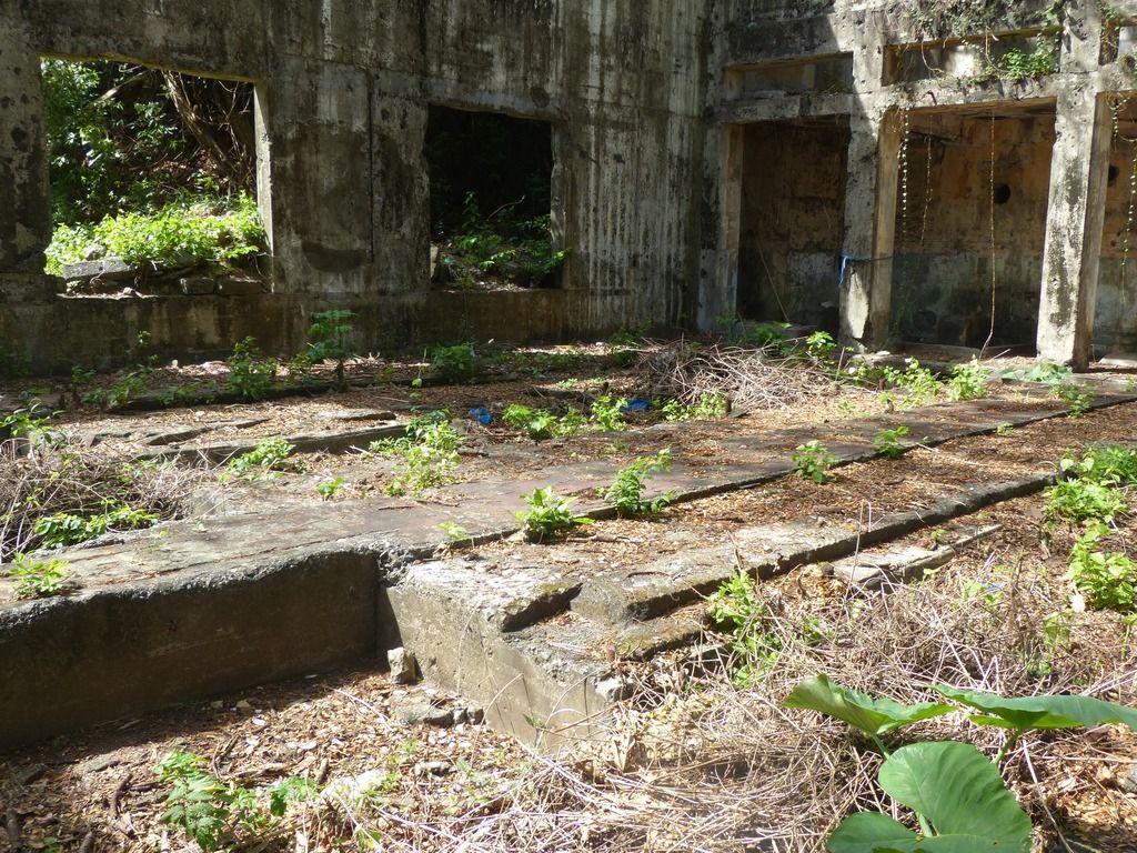
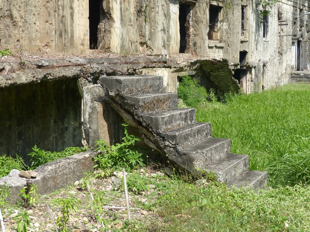
The floor of this building is interesting and accommodated the machinery for the power plant.
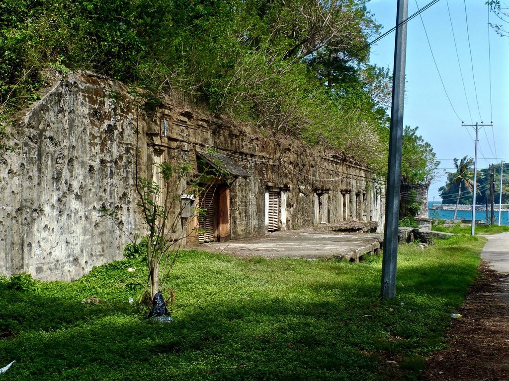
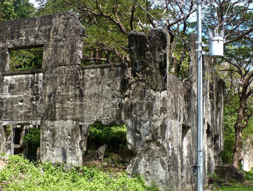
Building 311, or the Central Electric Storage Plant.
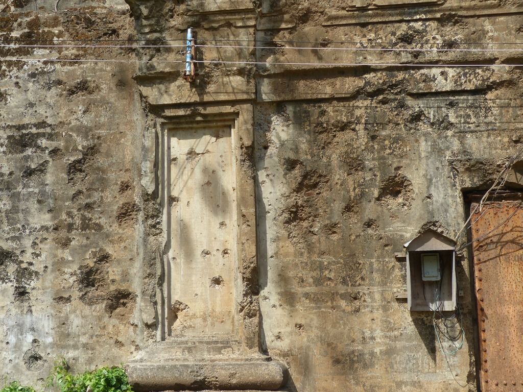
Damage to the outer wall.
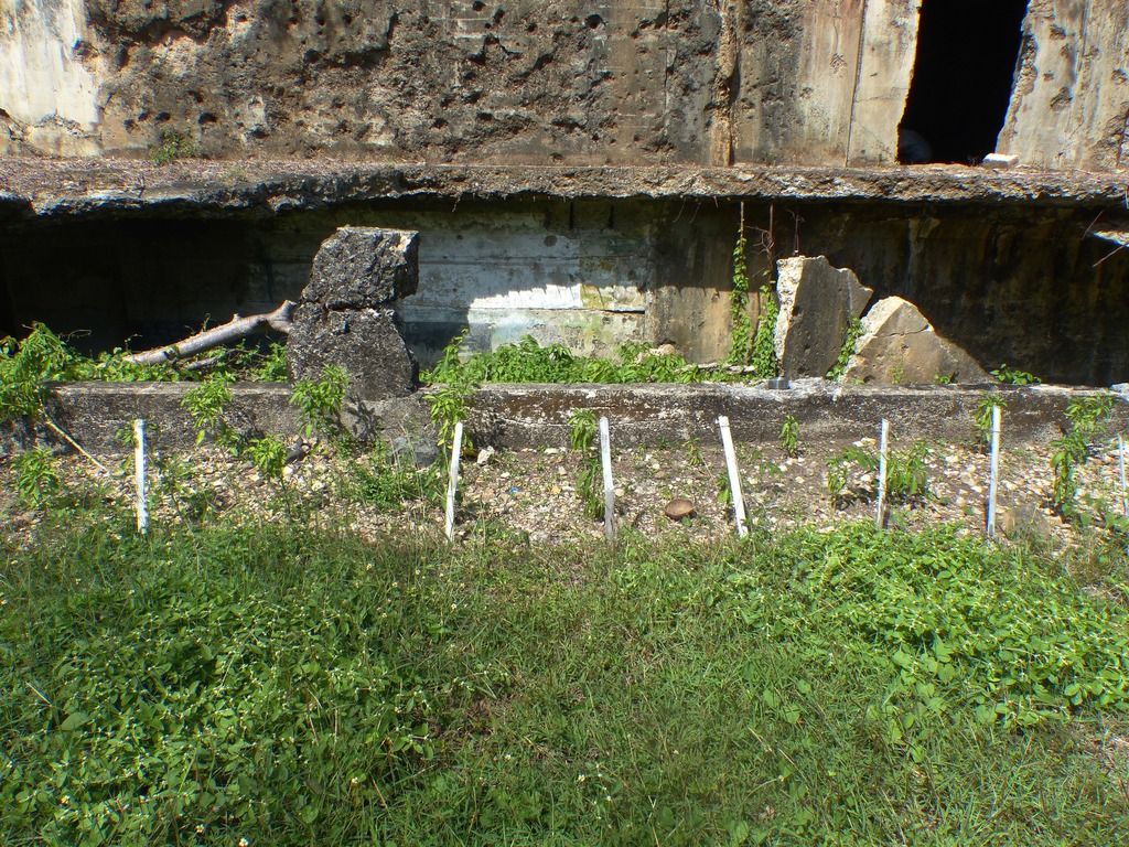
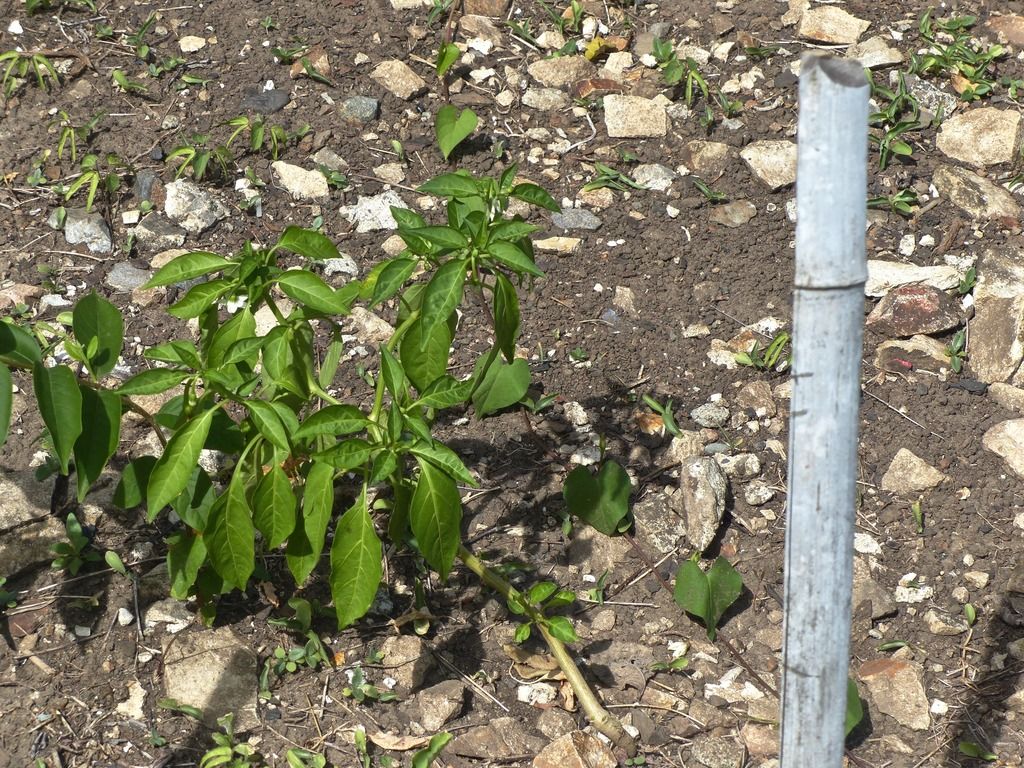
It looks like someone has started a garden of some sort in front of the building.
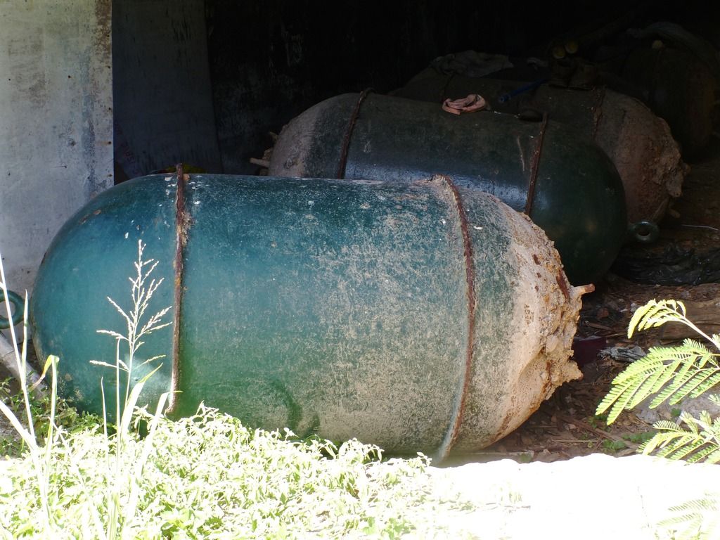
These are stored in a section of the bottom level of the storage plant.
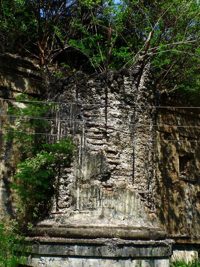
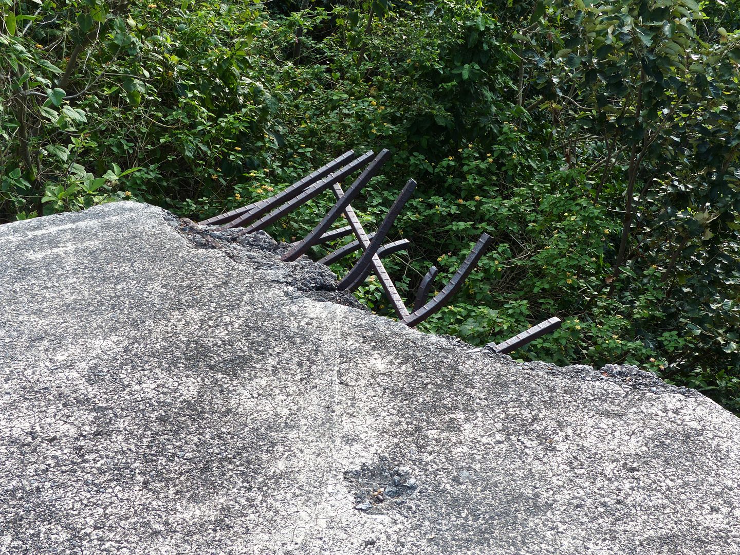
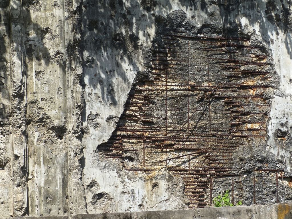
The mostly destroyed smoke stack.
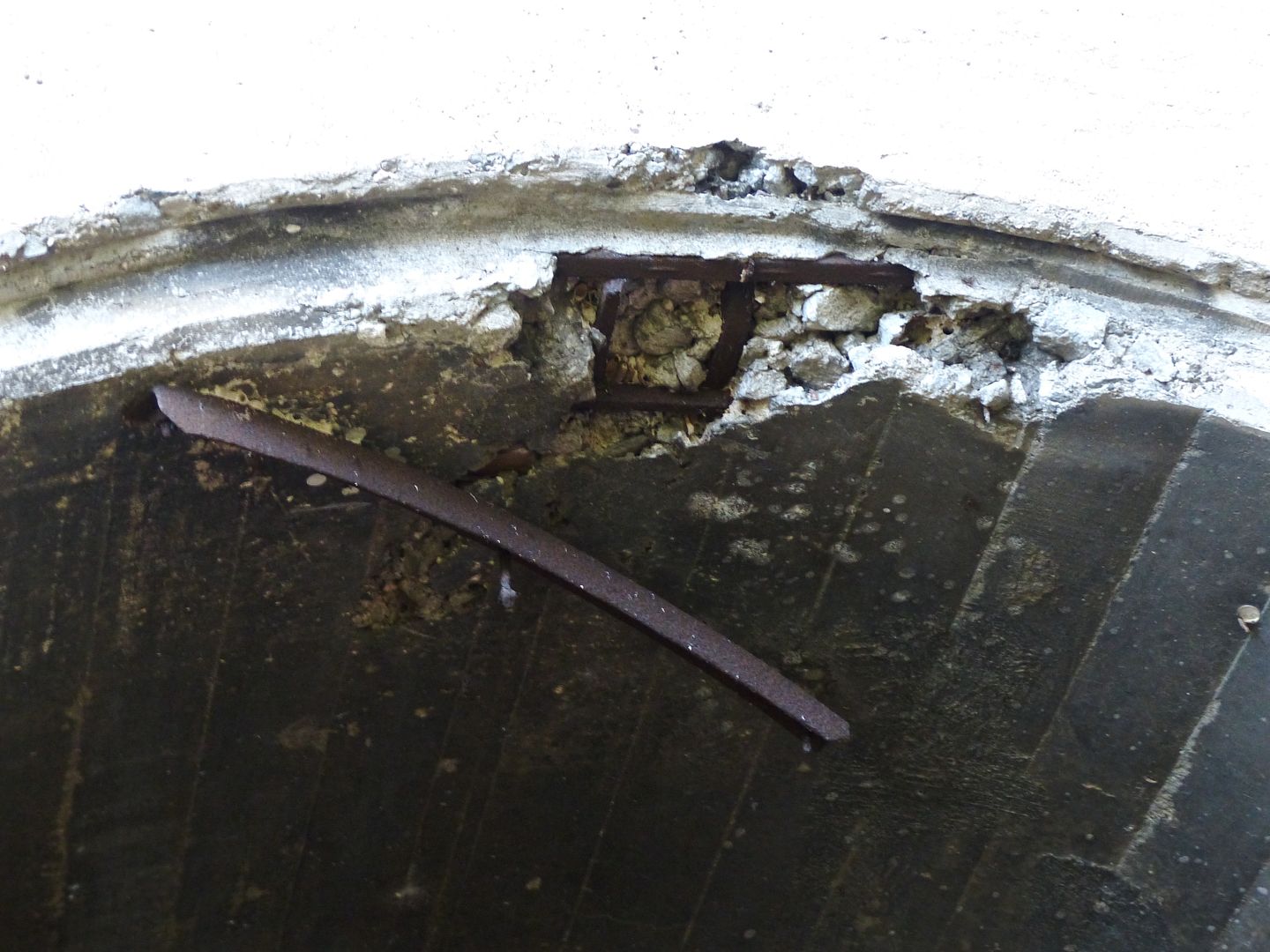
A close up on the rebar sticking out from the top of the smoke stack.
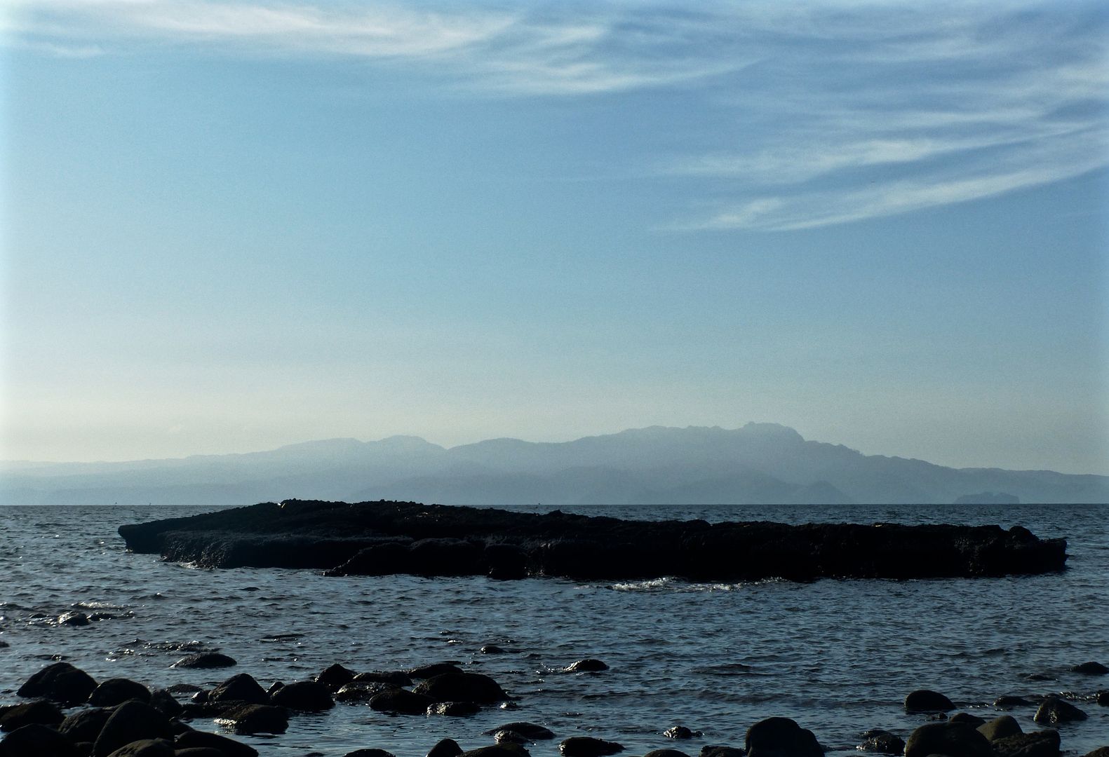
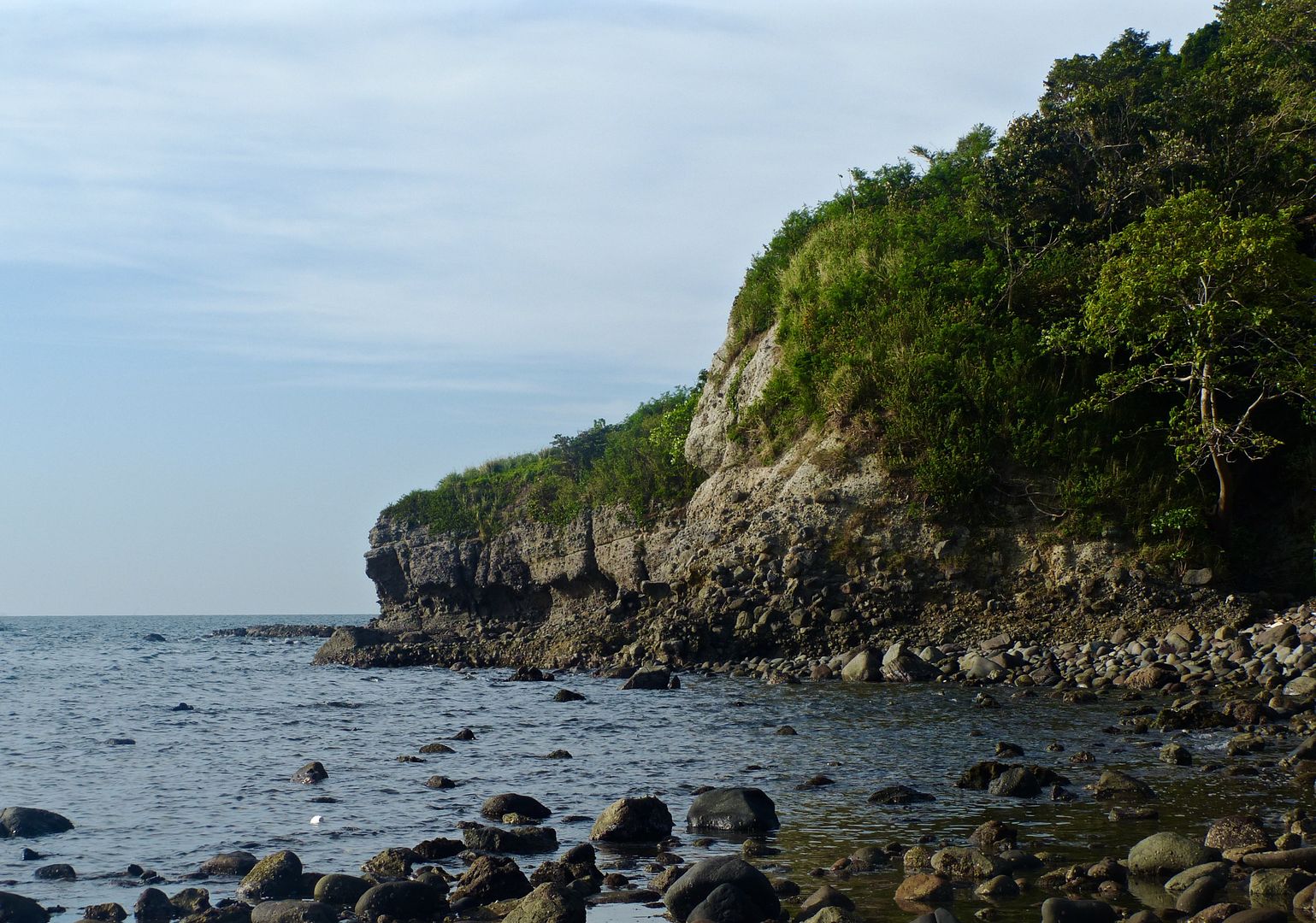
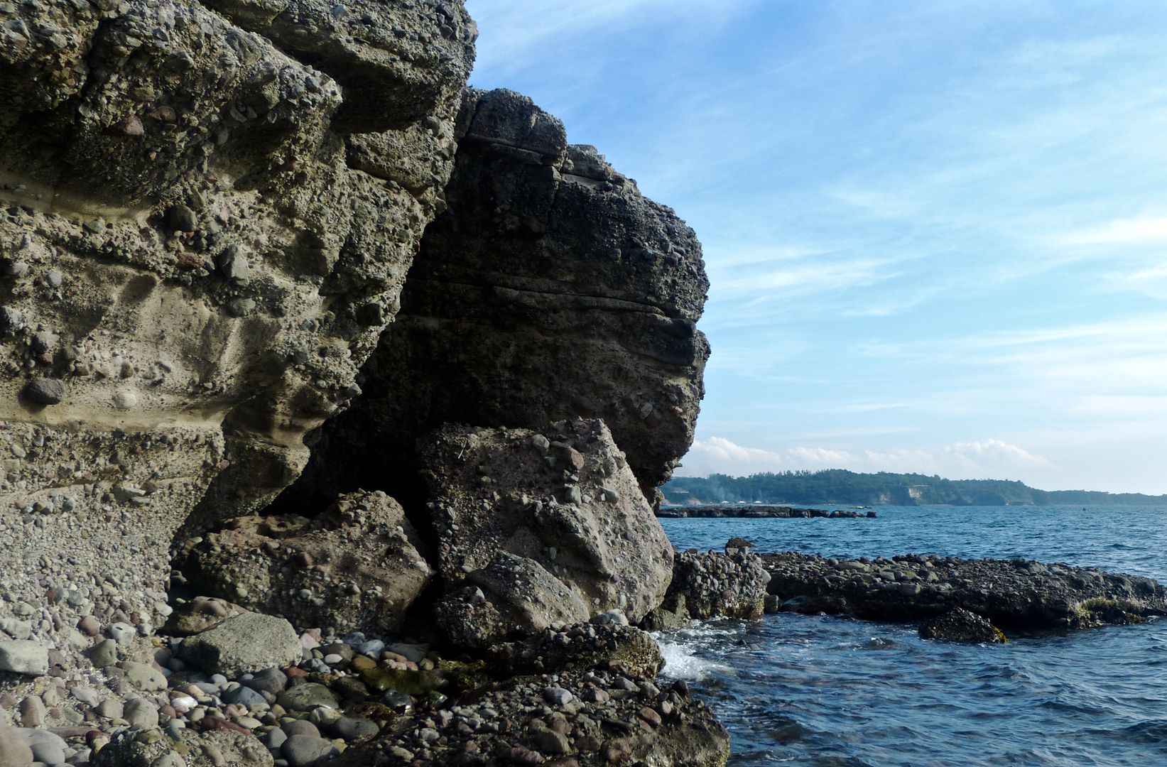
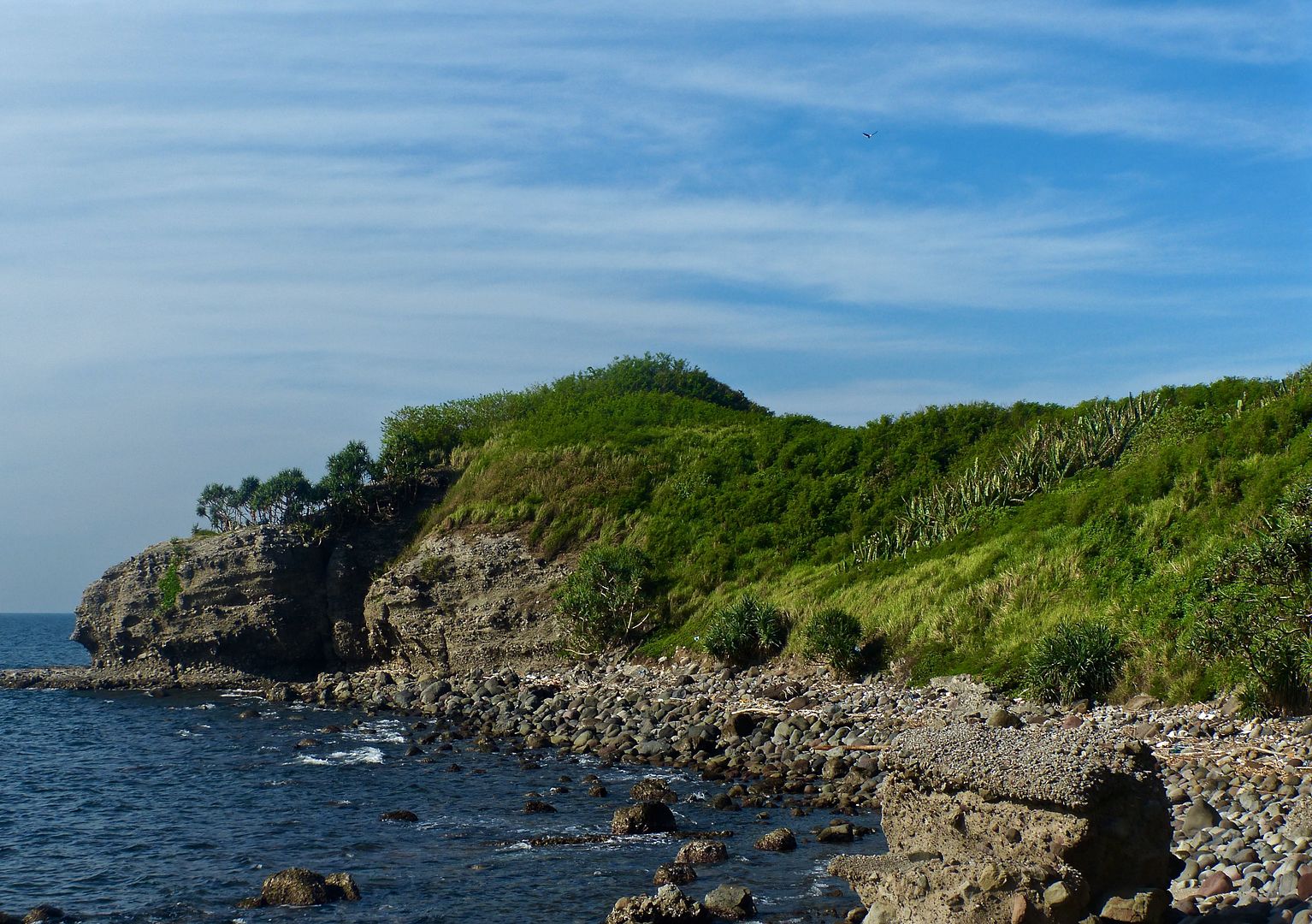
I walked back towards Corregidor Bay from the ravine.
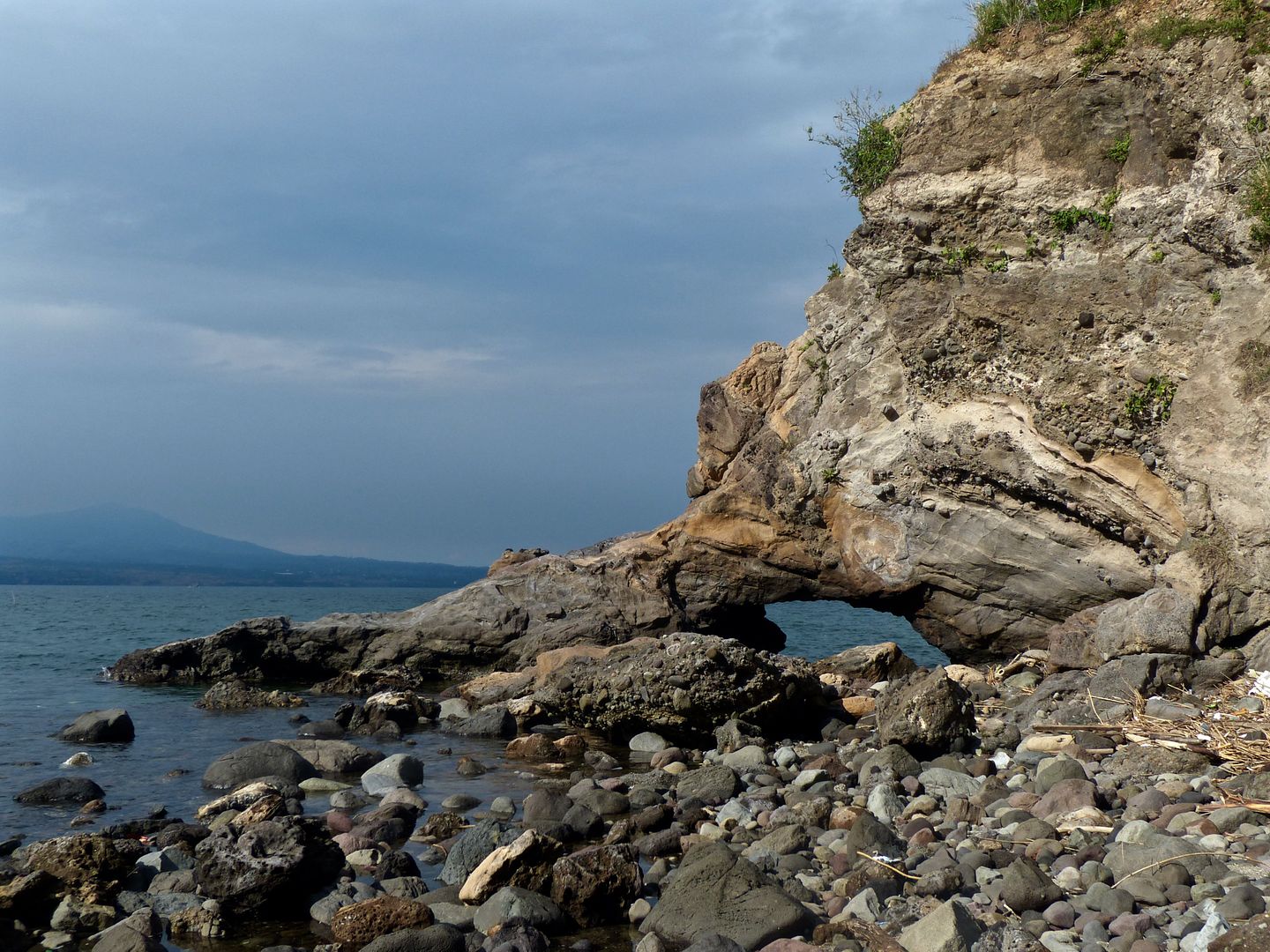
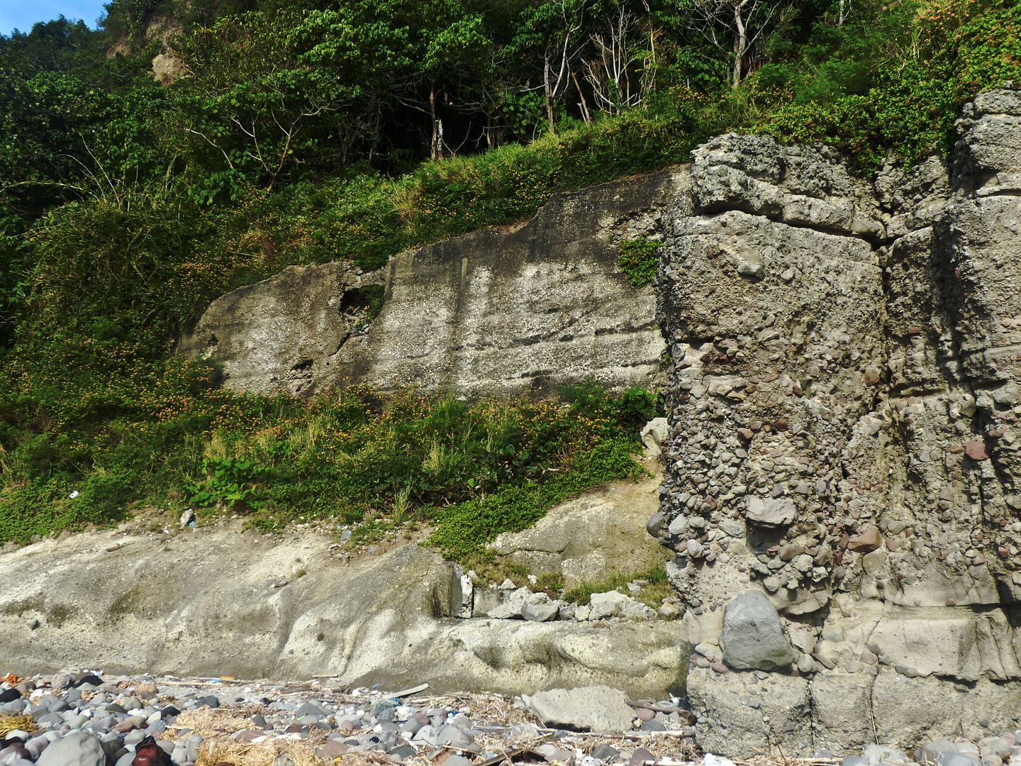
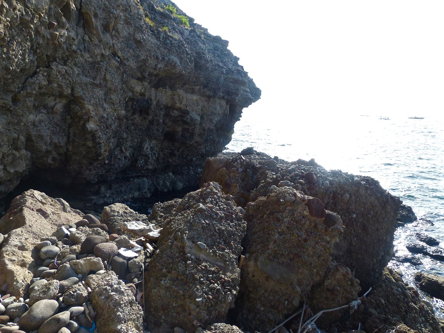
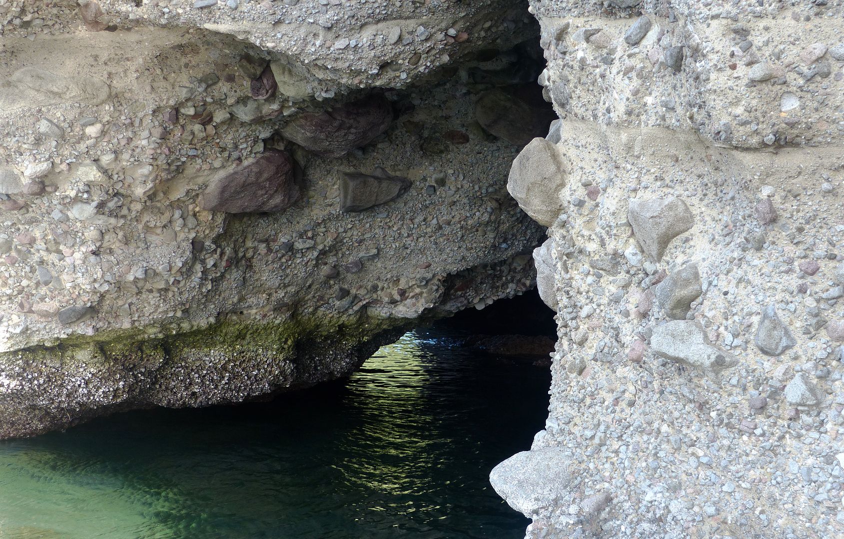
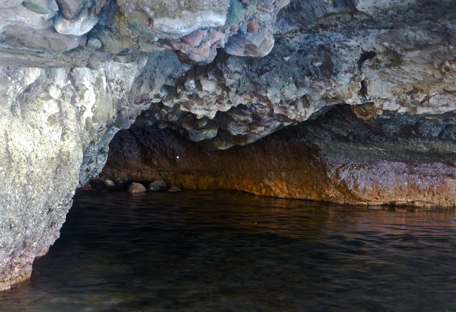
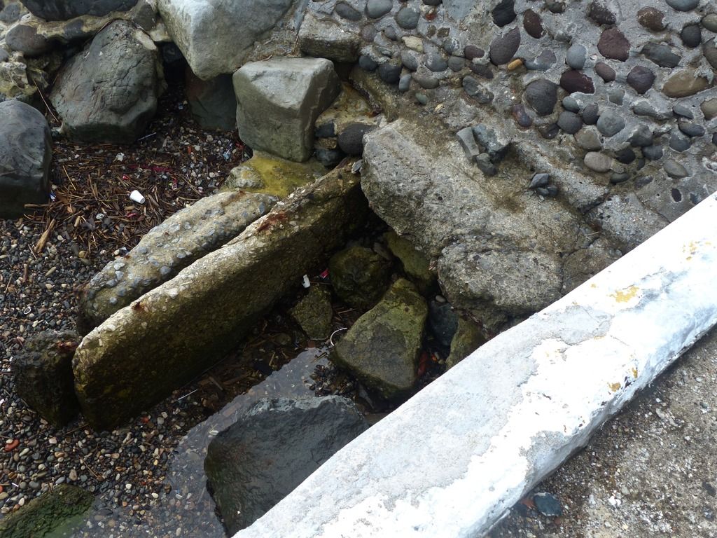
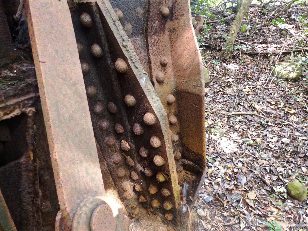
I believe this is part of the old derrick.
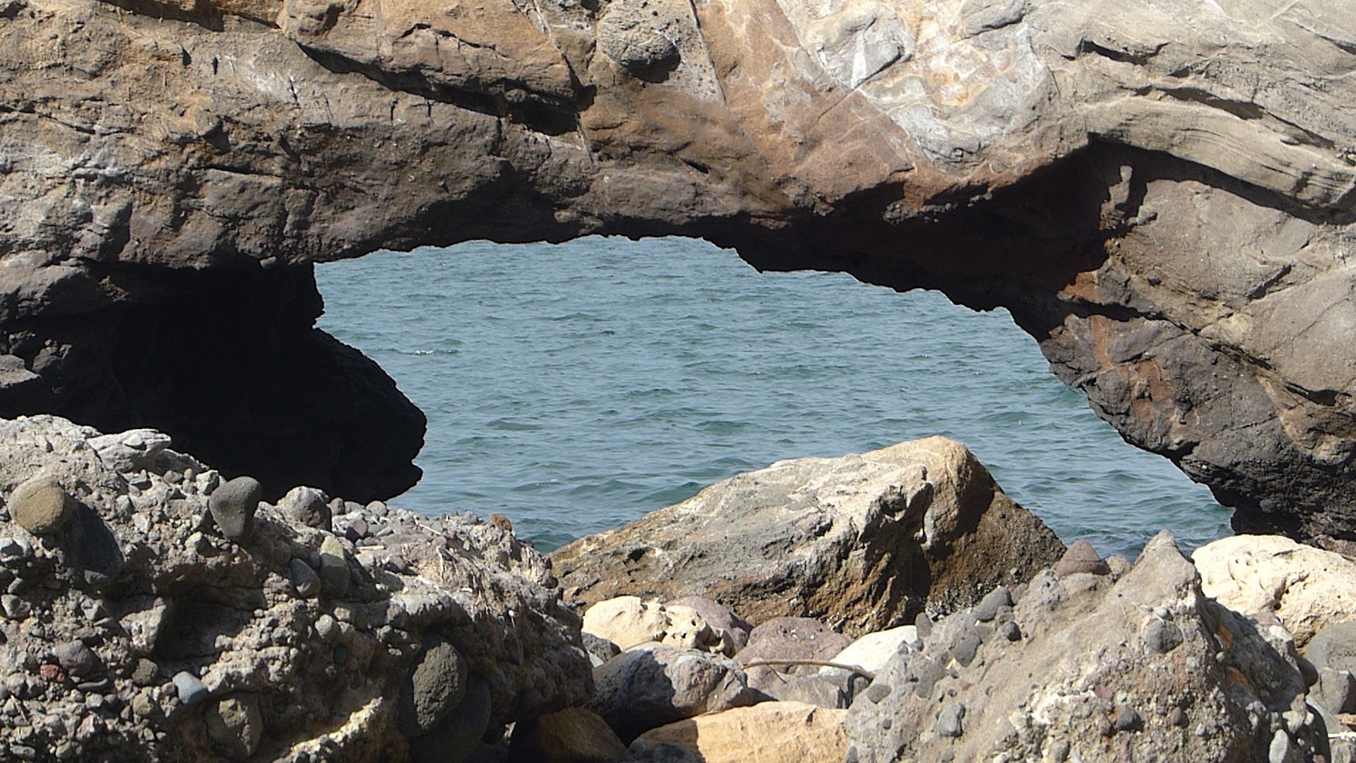
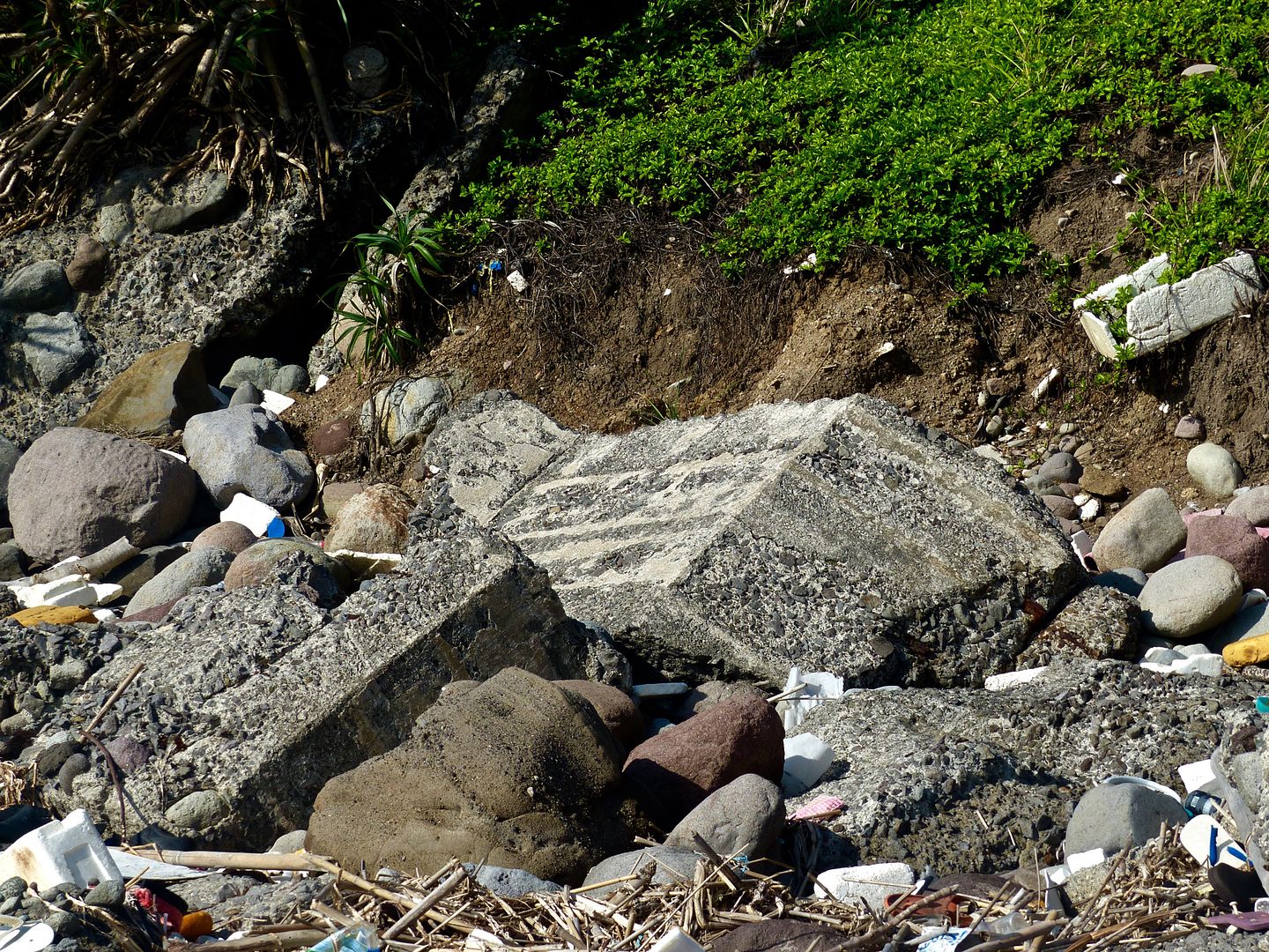
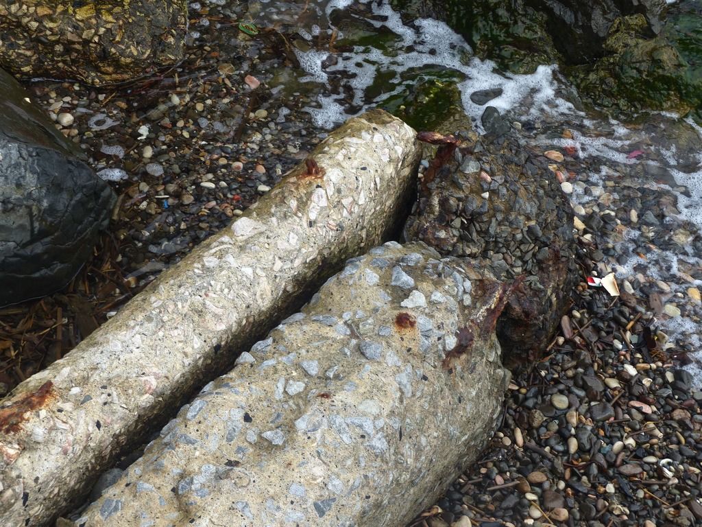
This is just behind the derrick in the coal basin. It may have also been part of the derrick.
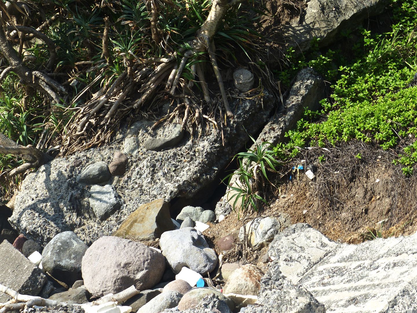
I'm not sure what this is. It's also nearby and in the coal basin.
I spent the third day of my trip in the area behind the electric plant.
I started my trek from the Engineer Wharf. The map says there used to be a machine gun emplacement here.
Here's a few photos of the wharf.
Next, I made my way up the hill behind the power plant towards Fresh Water Tank #9 and VII-F-2.
Up on the hill, I found what I believe to be a magazine for the defense positions nearby.
The interior of the small building.
A tunnel entrance. I didn't have a flash on my camera, so that's why I didn't go in. I was also alone and I'm a bit of a baby.
I don't have any idea as to what this is, but it was in the area, so I took a photo anyway.
There's a cumber of pieces of concrete and rubble on the hill.
More concrete. I think these particular pieces of concrete are part of VII-M-5. The area is quite overgrown.
The wharf from the side of the hill.
I noticed an edge to the concrete.
I cleared some of the brush away to get a better view of the 6-Pounder mount.
Nearby the 6-Pounder mounts, there is a significant amount of rubble from where there once was a gun shelter.
More pieces of the shelter.
The larger pieces of the shelter must have slid down the hill here.
I continued up the hill towards the pistol target range. Here's a few pictures of the nearby semicircle shelter.
Next I took some photos of the water tank. About half of the wall is destroyed.
Looking back at the semicircle building as I walk up the hill.
I came across VII-F-2.
One entrance to the central magazine.
The ceiling has been partially destroyed.
So have the walls.
The other side of the magazine.
There's an adjacent trench that has been dug.
The sides seem to have been reinforced by corrugated metal.
I had forgotten that the Japanese A.A. Gun was in the area, so that was a nice surprise.
Could the nearby VII-F-2 have been used as a magazine for this A.A. Gun during Japanese occupation?
I finished up on the hill and walked back down the path.
Diesel tanks in Engineer Ravine.
Here's the Diesel Power Plant.
The floor of this building is interesting and accommodated the machinery for the power plant.
Building 311, or the Central Electric Storage Plant.
Damage to the outer wall.
It looks like someone has started a garden of some sort in front of the building.
These are stored in a section of the bottom level of the storage plant.
The mostly destroyed smoke stack.
A close up on the rebar sticking out from the top of the smoke stack.
I walked back towards Corregidor Bay from the ravine.
I believe this is part of the old derrick.
This is just behind the derrick in the coal basin. It may have also been part of the derrick.
I'm not sure what this is. It's also nearby and in the coal basin.