|
|
Post by Karl Welteke on Feb 21, 2024 16:24:54 GMT 8
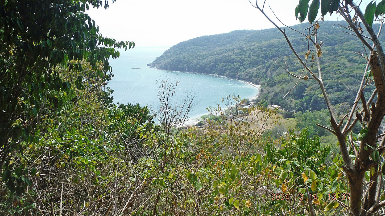
Corregidor Visit, First Flag 79th Anniversary, 1st Album Perhaps our 20th commemorations visit to Corregidor to celebrate the liberation of Corregidor in 1945. This is the 79th Anniversary on the 16 FEBRUARY, 1945 "...at about 1100, two men from the regimental headquarters company, T/5 Frank Agrrigo and Pfc. Clyde I. Bates, climbed up one of the few still-erect telephone poles near the parade ground and attached to its top a U.S. flag that flew there day and night for the rest of the campaign." - Corregidor The Rock Force Assault by Lt. Gen E.M. Flanagan, Jr. Corregidor Forum Flag Raising Ceremony: corregidor.proboards.com/thread/2509/2024-flag-raising-ceremonyThis is the 1st of 2 Albums We arranged it with the Corregidor Foundation Inc. (CFI), they gave us there full hearted support as in all the years before. They provided the Flag, serviced the Flagpole and Monument, gave us transportation and commemorated the Anniversary with us, Thank You Very Much CFI. This is the official Corregidor Foundation Inc. (CFI) office, who I deal with when I go with friends or myself. Call her, email her and ask. I heard that they have now scheduled Sunday visits. Melody Bondoc Corregidor Island Philippines [info@corregidorisland.com.ph] Sales & Marketing Officer Corregidor Foundation Inc. Rm. 10 Bay Terminal, CCP Complex, Roxas Blvd Malate Manila Tel # +63 2 8823.3281 Mob # +63 977.643.4819 website: www.corregidorisland.com.phwww.facebook.com/corregidor.island.adventure.tourI believe this is a former tour guide who is running this; he perhaps could organize a group of your people. I heard good things about him! -------------------------------------------- This is our Corregidor Forum Current Affairs INFO page: corregidor.proboards.com/board/8/corregidor-current-affairsFirst 10 Pictures Number 00 to #06 Pictures #00 and 01 show us checking in at the Villa Carmen Gate. We are told that the procedure has ---changed and we have to catch the boat at the MAAP Pier. We continued to there!   --------------------------------------------- Pictures #00a, #00b and #00c feature maps that will help you find the locations of this visit to Corregidor. 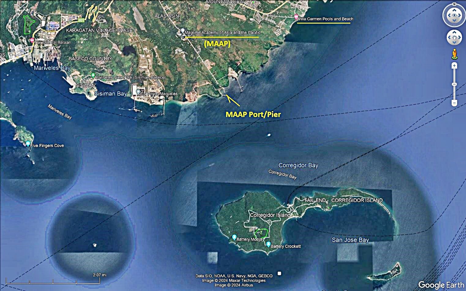   ---------------------------------------------- Pictures #02, #03 and #04 show us stopping at the Main Gate to the Marine Academy of Asia and the Pacific (MAAP). Just inside the gate at about 30 meters from it, is an Australian Memorial dedicated to the loss of a Black Cat Catalina. No.76 Wing RAAF, Black Cat Catalinas On 14 December, No. 43 Squadron, augmented by Catalinas from No. 11 Squadron based at Rathmines, New South Wales, mined Manila Bay to keep Japanese shipping "bottled up", thus supporting the Allied landing at Mindoro taking place the next day. Flying from Leyte, the 24 Catalinas successfully dropped 60 mines in the heavily defended target area for the loss of one of their number, and returned to base at the limit of their fuel reserves. The Corregidor Forum has this dedicated thread to this missing aircraft and crew: Australian WWII Memorial on Bataan corregidor.proboards.com/thread/2310/australian-wwii-memorial-on-bataan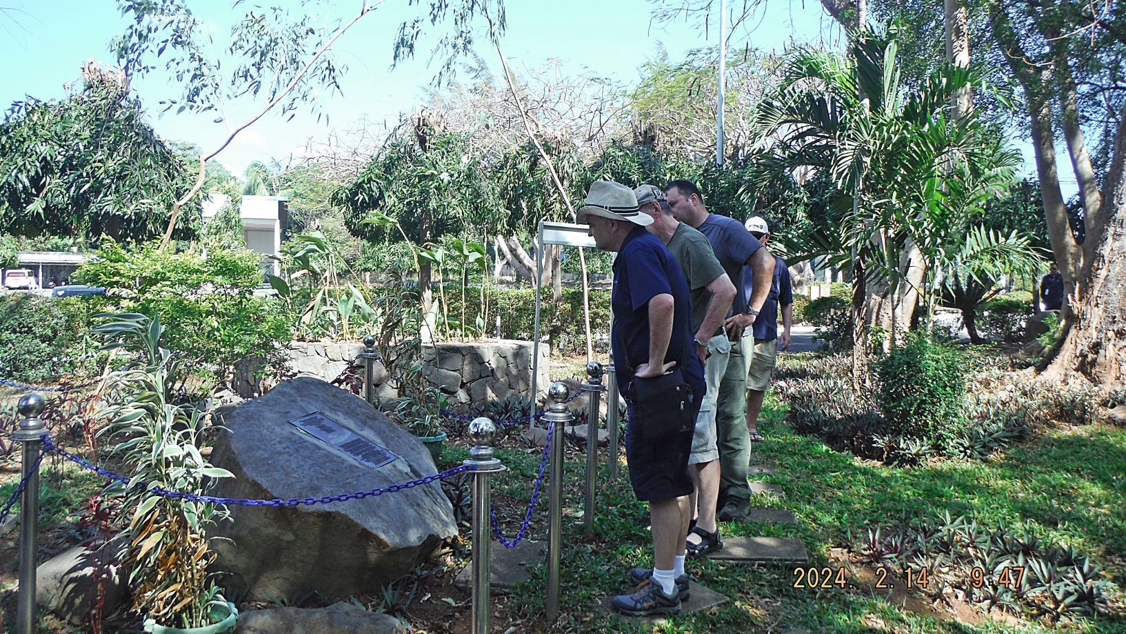 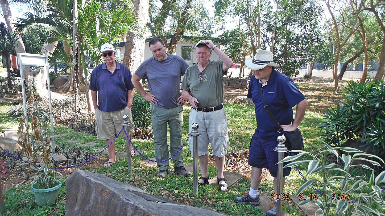 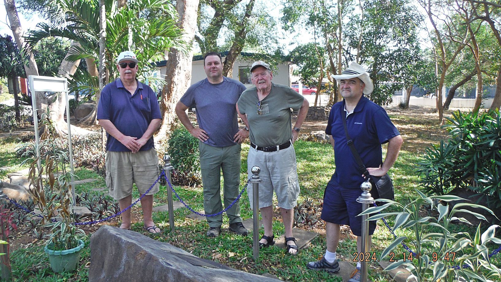 ---------------------------------------------- Pictures #05 and #06 show us loading on a Villa Carmen Boat at the MAAP Pier and go to Corregidor. 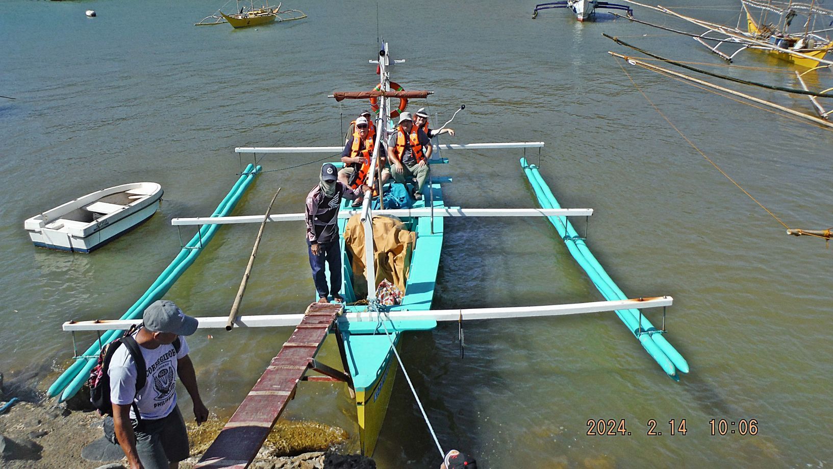 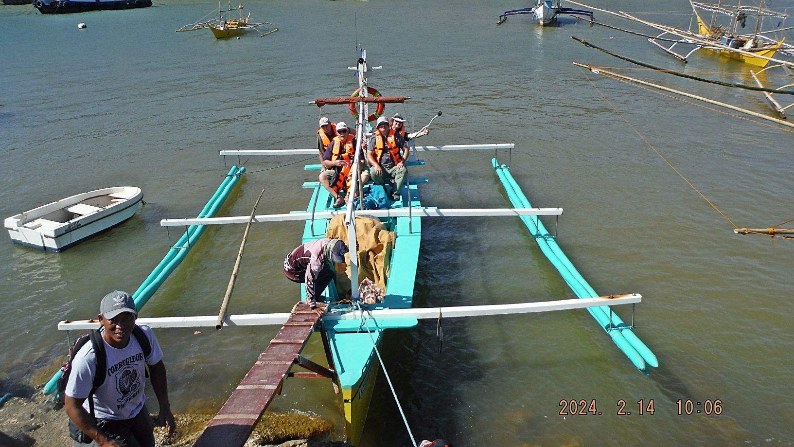 |
|
|
|
Post by Karl Welteke on Feb 22, 2024 15:12:47 GMT 8
|
|
|
|
Post by Karl Welteke on Feb 23, 2024 16:52:37 GMT 8
3rd Segment album #1 This was perhaps our 20th commemorations visit to Corregidor to celebrate the liberation of Corregidor in 1945. The next 24 images of album 1 are of continuing our visit at Topside Corregidor, Battery Wheeler, Wheeler Tunnel, Banzai Point, the Battery Cheney rail line, Topside area around the Corregidor Light house. ----------------------------- Picture #25 is the Topside Parade Ground of ex Fort Mills on Corregidor, look, how well it is groomed, grass is cut short and the cut grass is removed!!!!!!!!! 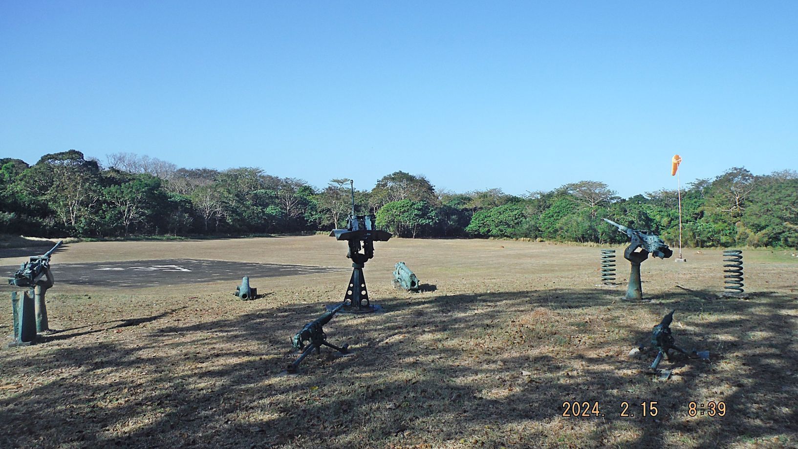 --------------------------- Picture #26 is Battery Wheeler of ex Fort Mills on Corregidor, we had a good look and it is kept in a visitor ready state. We also entered the Wheeler Tunnel, but I have a lot of pictures, and there are no changes to report. 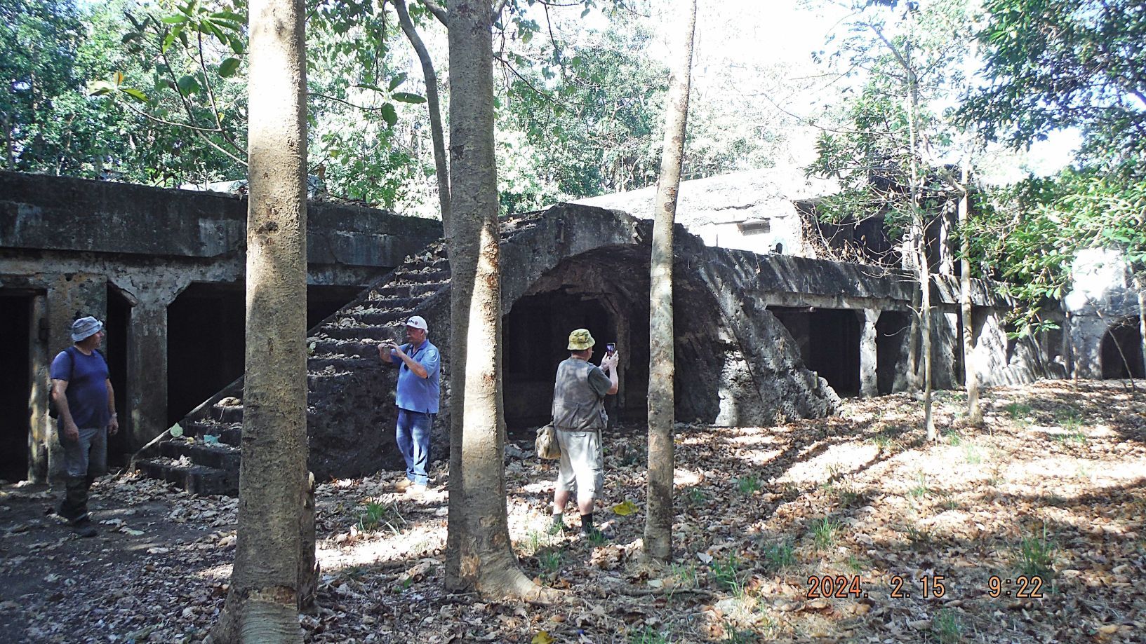 -------------------------- Pictures #27 to #33 are of the secondary or emergency gun control station for Battery Cheney in the ex Fort Mills on Corregidor Island. It is just south of Wheeler Point next and west of the road to Battery Cheney, we see the steps leading to it. This station is pretty much destroyed and vegetation makes it impossible to enter now. Near this place the Japanese were defeated in their night attack and hence many of us call this area the Bazai Point and one gets a great view of the three geographical points below at the water’s edge. 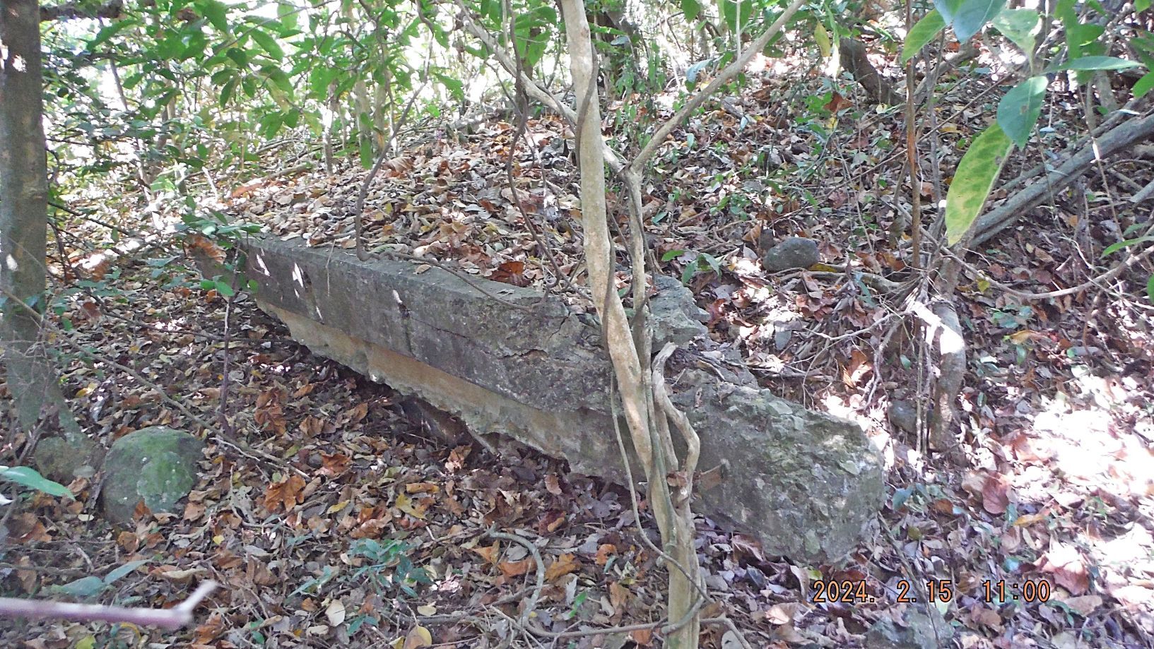 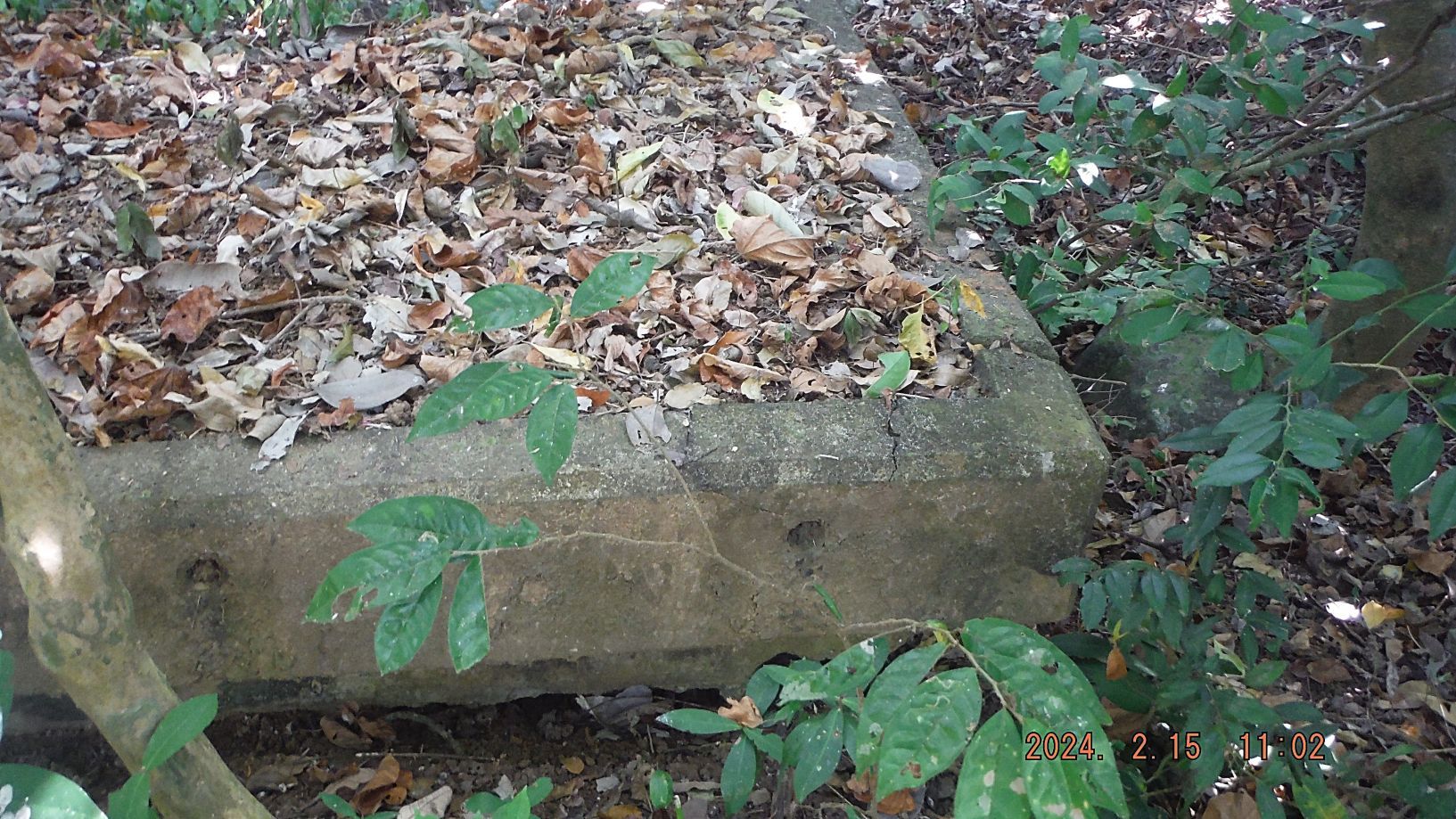 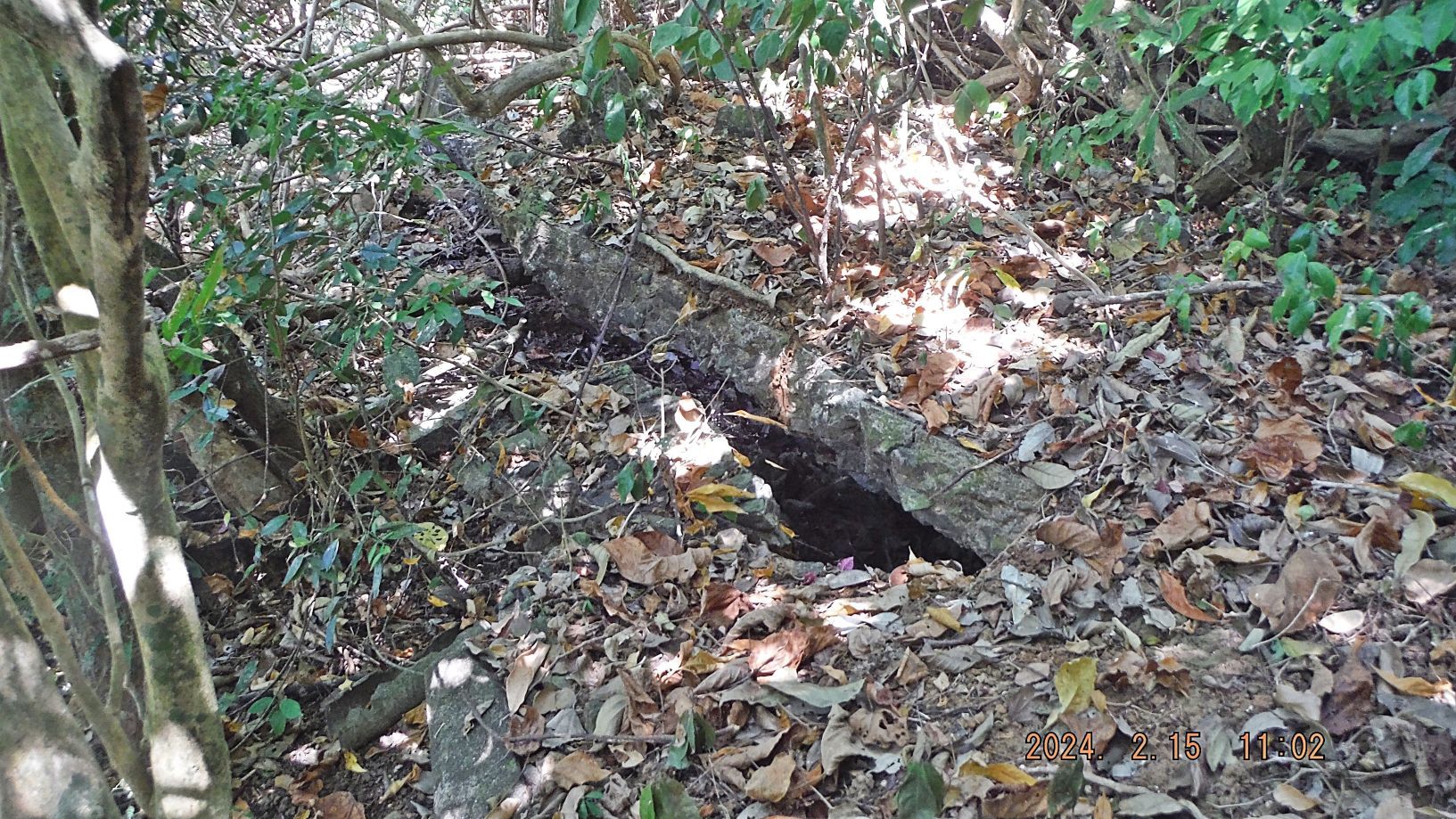  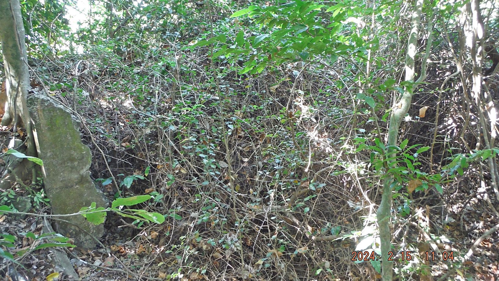 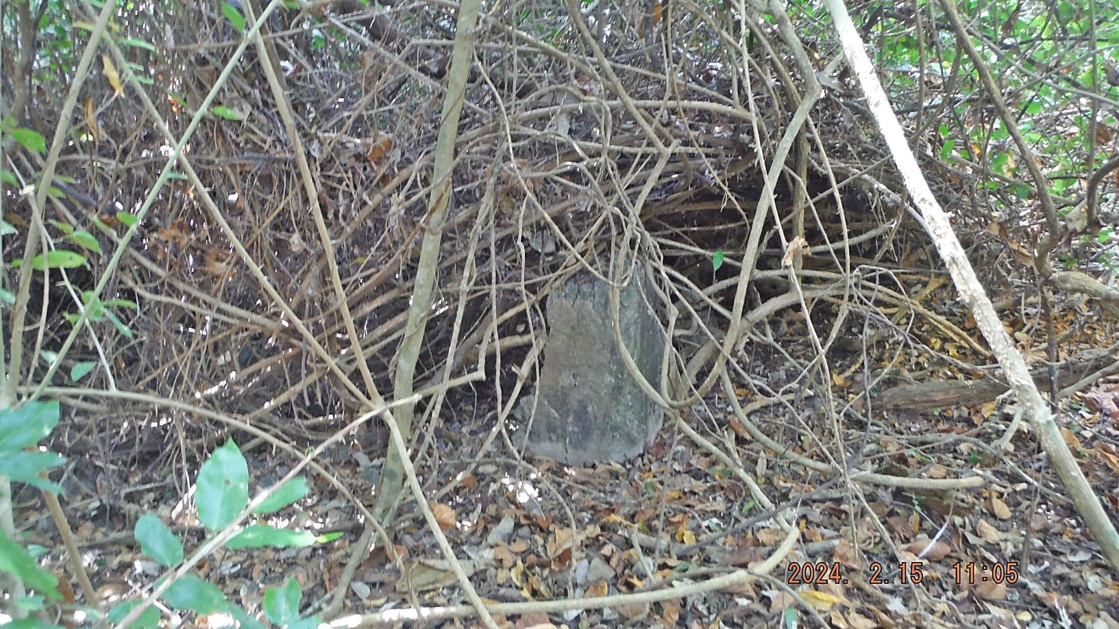 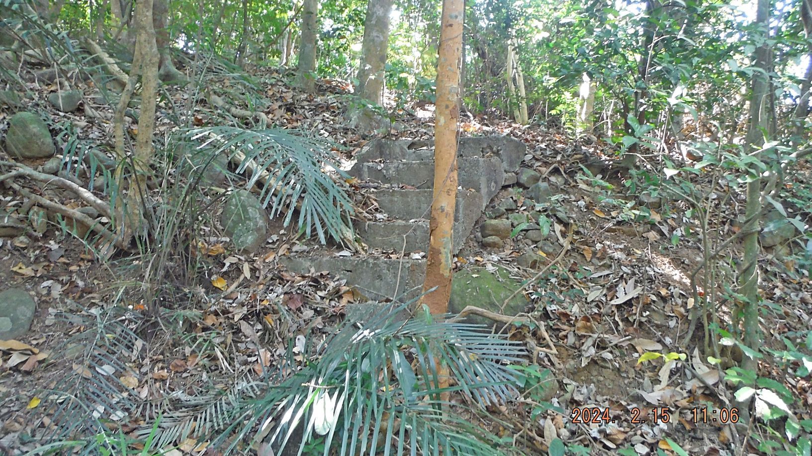 ---------------------------------- Pictures #34 to #40 are of walk along the rail (trolley) line from Battery Cheney to the ex Fort Mills Topside Parade Ground. We found curious cement cubes along the line, pictures #34 and #35. Pictures #36, #37 and #38 are of the bomb proof ordnance magazine along the rail line; there are only 2 such structures on the island. Picture # 39 is my friend Tim standing next to the ex Fort Mills Radio Station. Picture #40 is the Topside Parade Ground of ex Fort Mills on Corregidor, look, how well it is groomed, grass is cut short and the cut grass is removed!!!!!!!!! 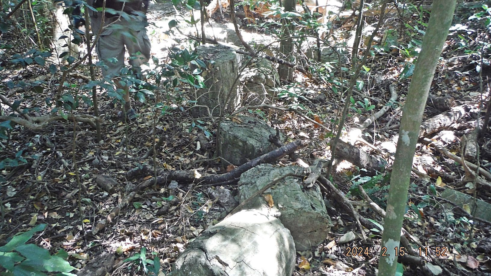 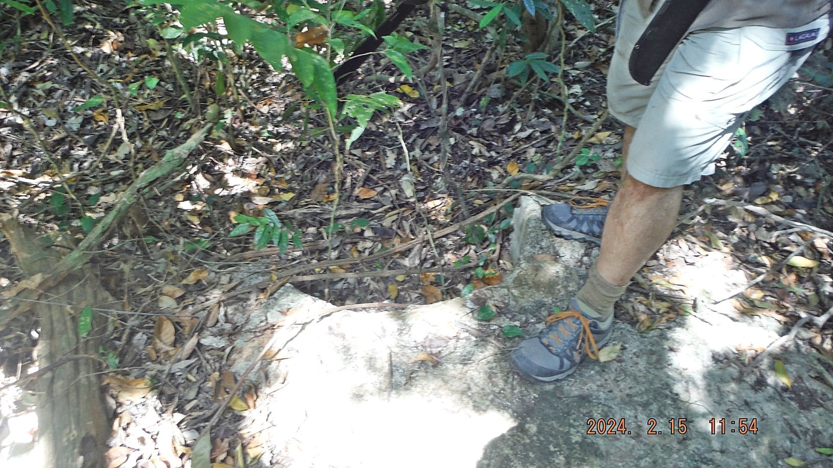 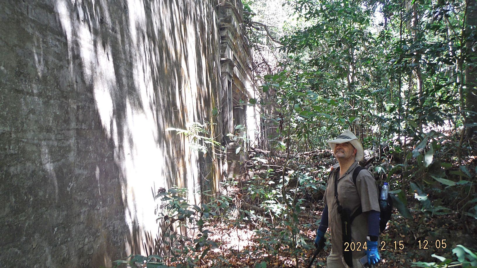  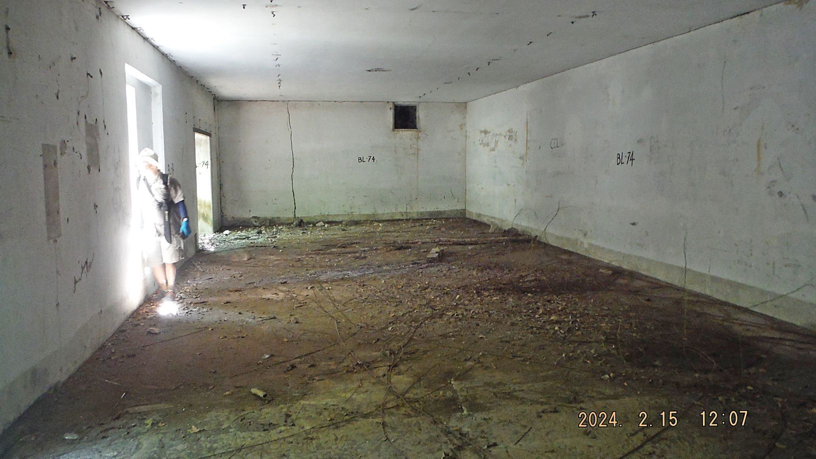 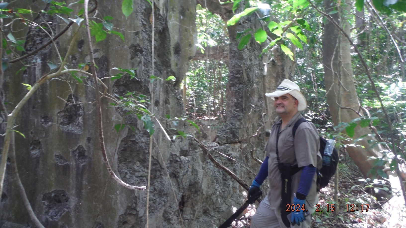 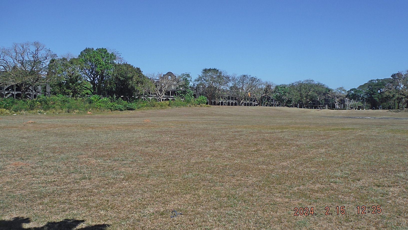 ---------------------------------- Pictures #41 to #48 are of the Corregidor Lighthouse area, Topside, in the ex Fort Mills on Corregidor Island. We had split up and assembled here again. Picture #41 is an ex Fort Mills tower, I believe, was used as the Fort Mills Signal Station, In front we see the Philippine-Spain Friendship Monument. 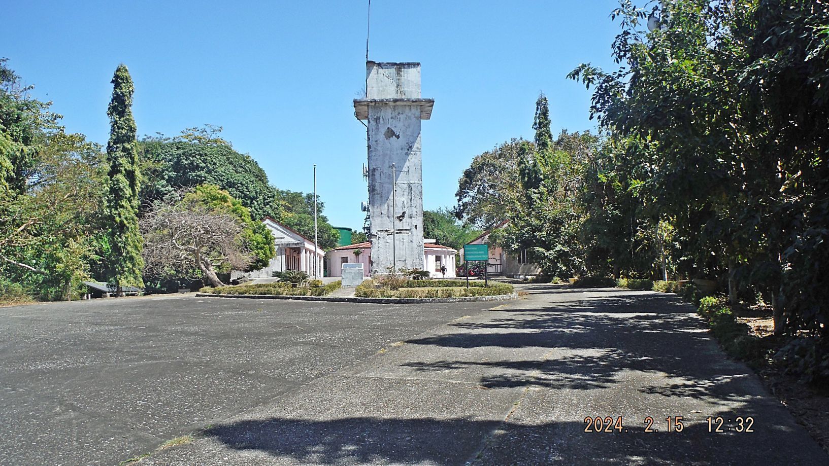 Picture #42 is a tent for dining purpose; it was constructed by Sun Cruises to take care of the Corregidor visitors while the Corregidor Inn was being renovated. But the virus from Red Chine caused Sun Cruises to give up her service to Corregidor. 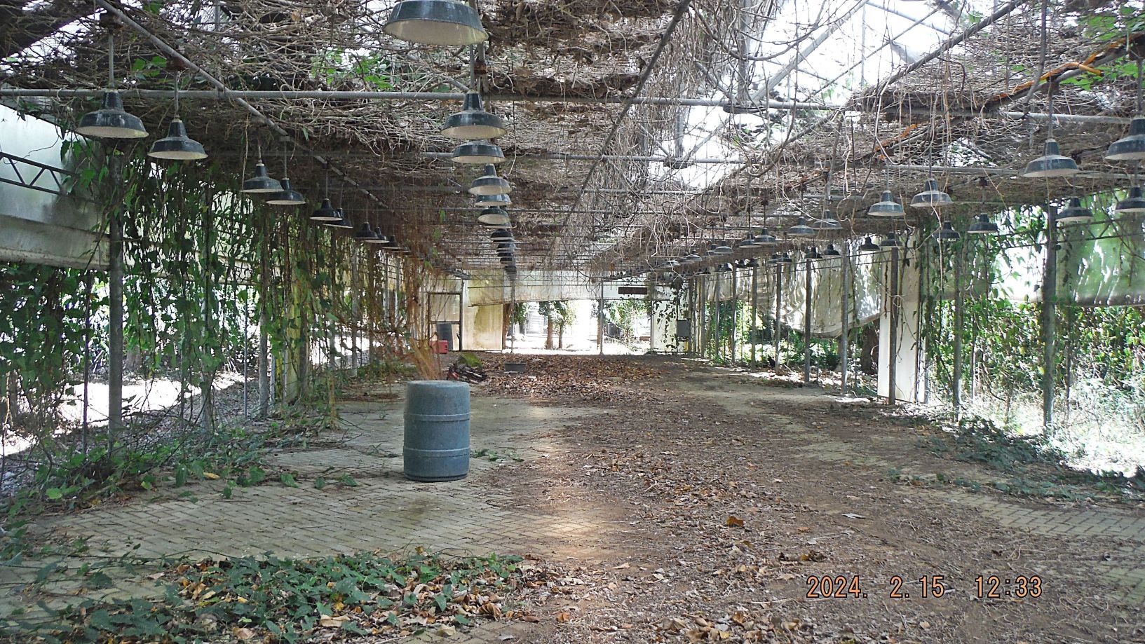 Picture #43 and #44 show our Corregidor Visit, First Flag 79th Anniversary Team reassemble Topside on Corregidor. We also see the Corregidor Lighthouse. 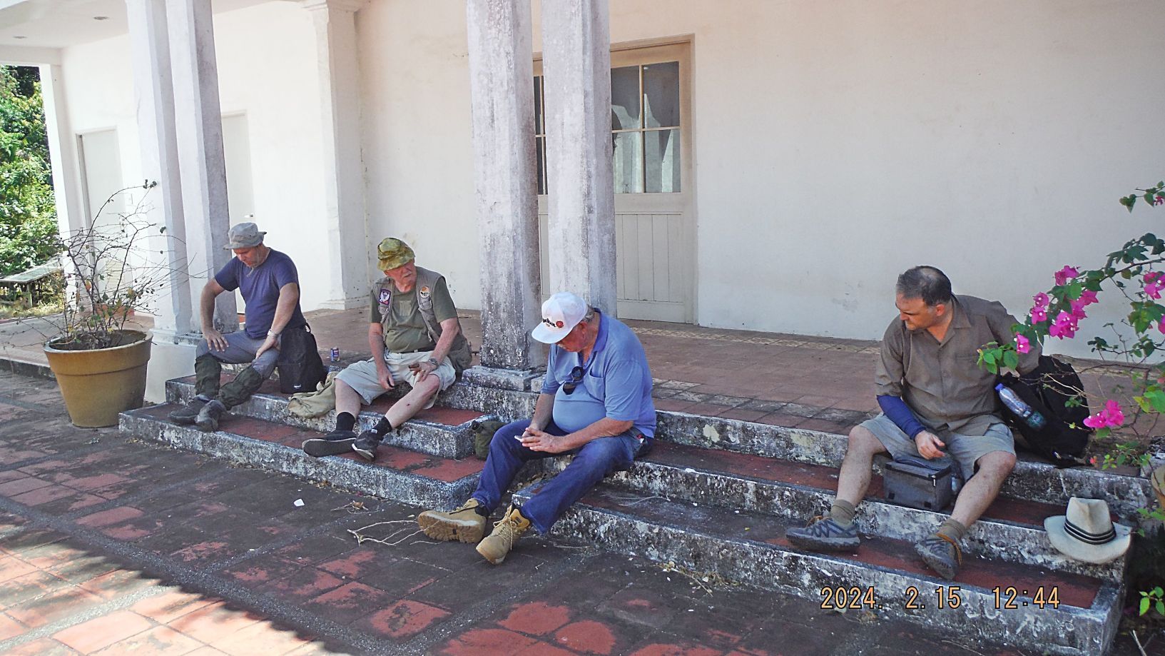 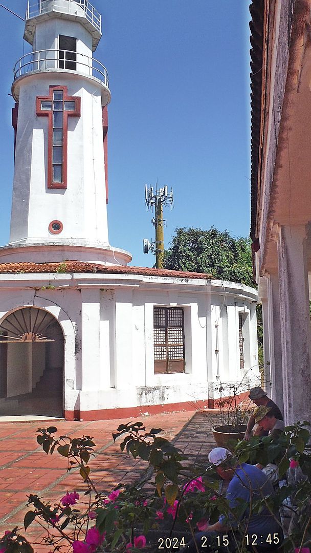 Picture #45 is the Spanish cistern which collected water from the Lighthouse roof. It is one of the very few Spanish structures left on Corregidor Island. 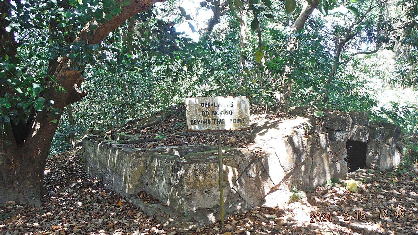 Pictures #46 to #48 are of the area of the 4 ex Fort Mills Water Tanks. The 2 western tanks seem to be in good shape and one Philippine Government Authority had them painted recently. The 2 eastern tanks remain there in their heavy war damage condition. A tall, communication tower, I think that is what it is, has been placed there in recent years with all its supporting machinery and facilities. 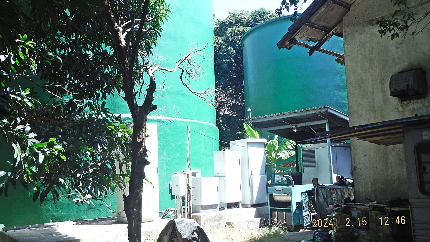 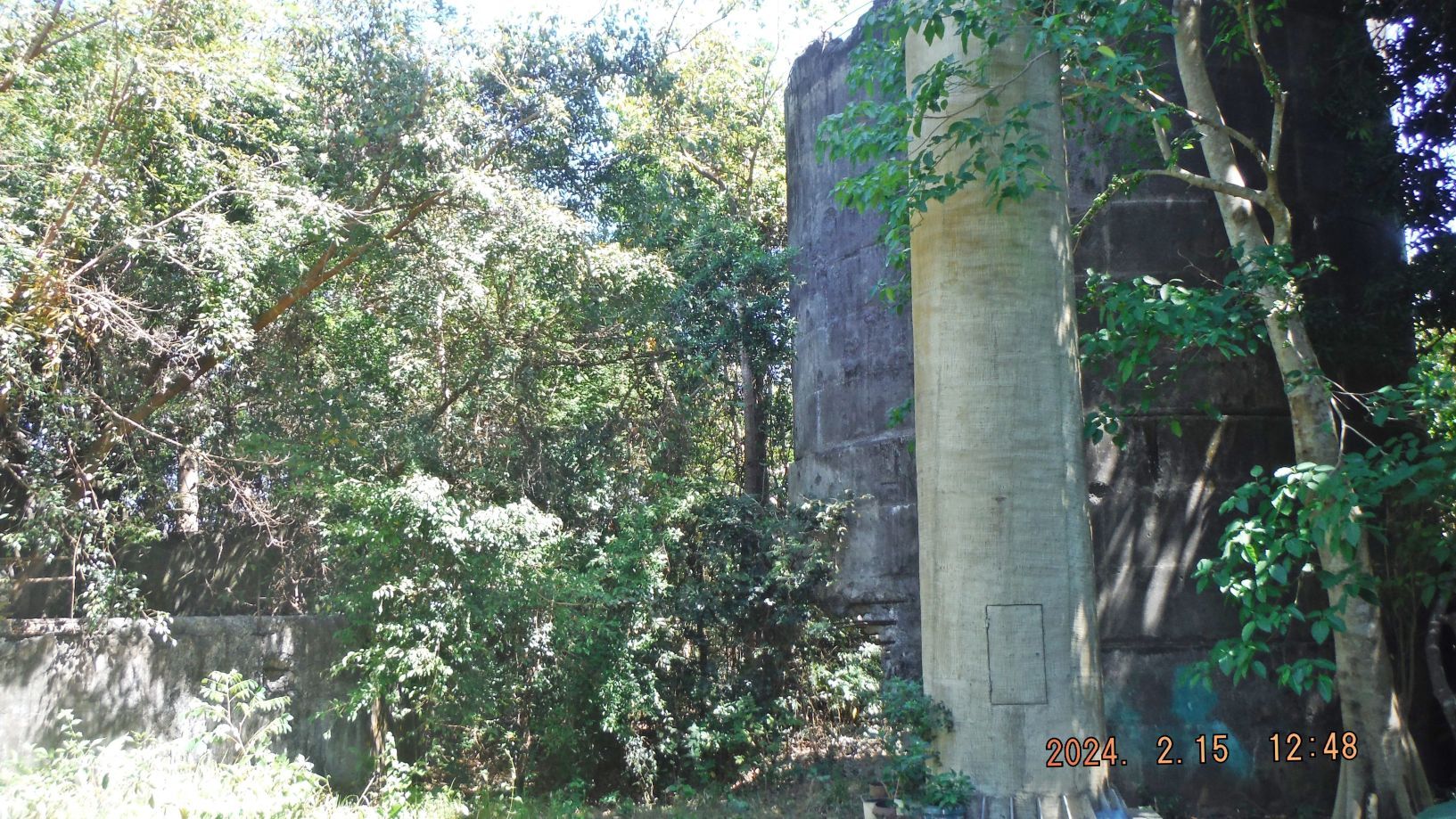 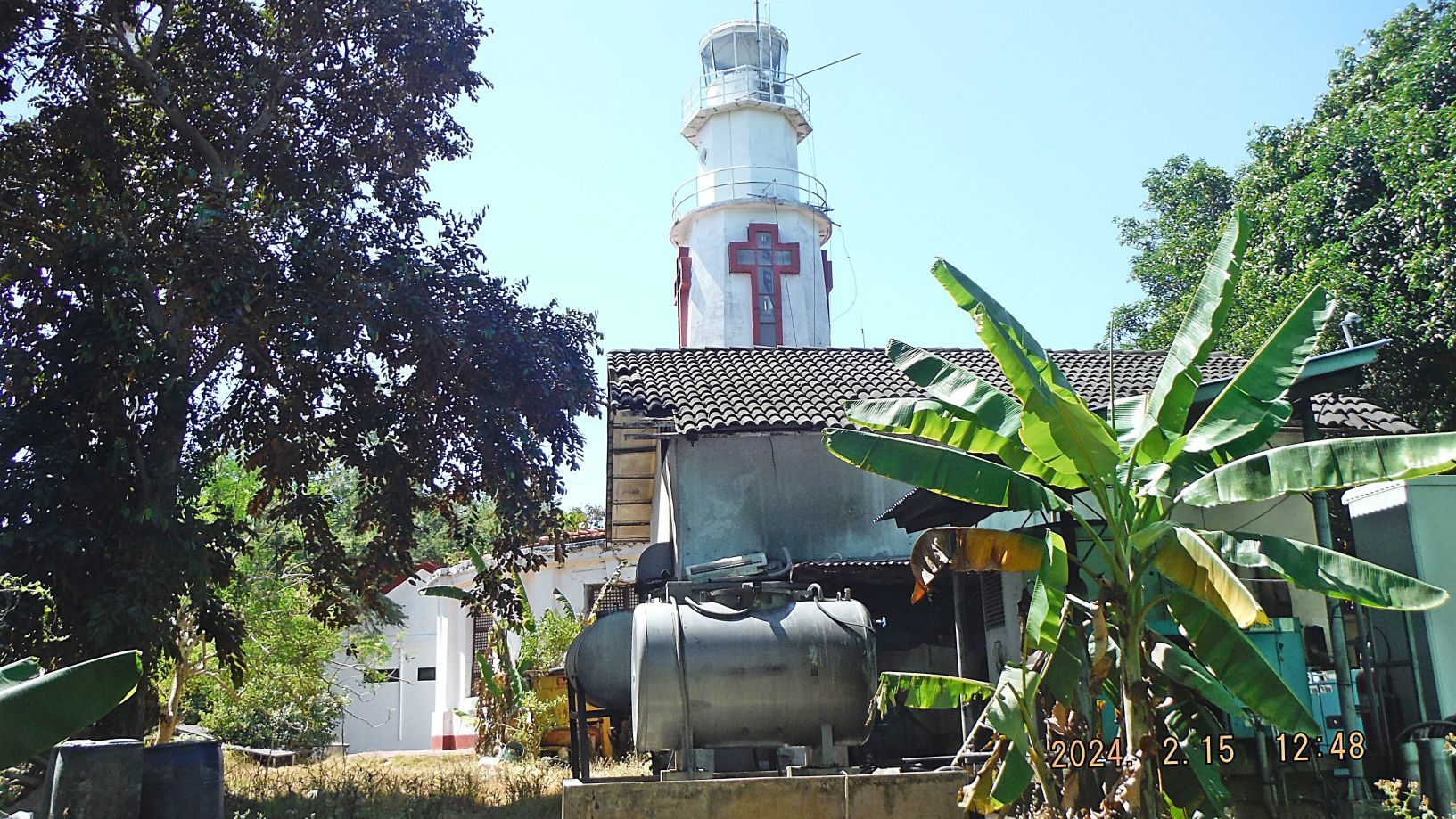 |
|
|
|
Post by Karl Welteke on Feb 25, 2024 9:14:11 GMT 8
4th Segment, 1st Album: This was perhaps our 20th commemorations visit to Corregidor to celebrate the liberation of Corregidor in 1945. The next 20 images of album 1 are of continuing our visit at Topside Corregidor, descended via the Pacific War Memorial, The Resting Place of Tom Aring’s Ashes, the so-called Japanese Tunnel, the 5 US Army Quartermaster ware houses, followed the rail line to Battery Geary and Crocket. The other pictures are from the 16th Feb, the flag raising and in the afternoon I checked out the Corregidor Inn and started a walk around the south side of Corregidor Bottomside This is the URL for the whole album: www.facebook.com/media/set?set=a.10227572440890314&type=3---------------------------- Pictures #49 to ##52 are of Battery Geary, a very unlucky Battery which suffered at least 34 casualties from a bomb hit and at least 12 casualties from an artillery round hit which destroyed the battery. We looked at the about 10 ton barrel that got thrown behind the battery. If interested, read the history of the battery here: corregidor.org/ca/btty_geary/geary.htm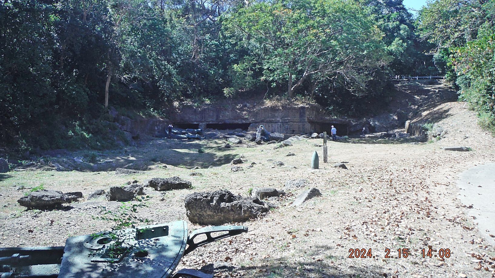 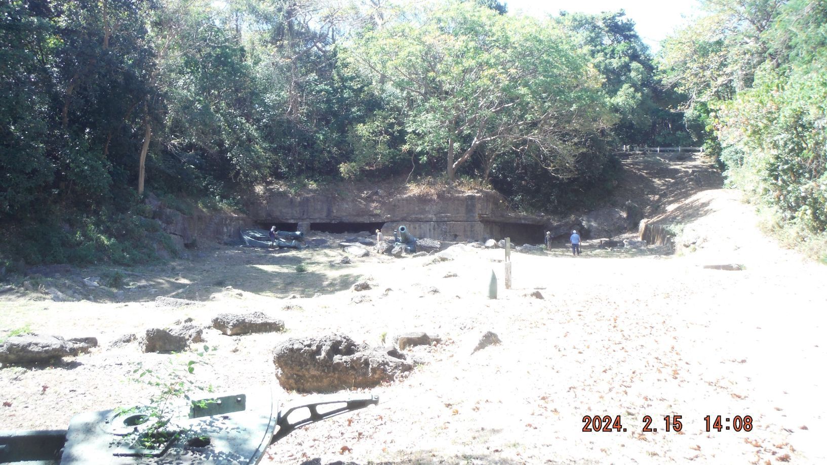  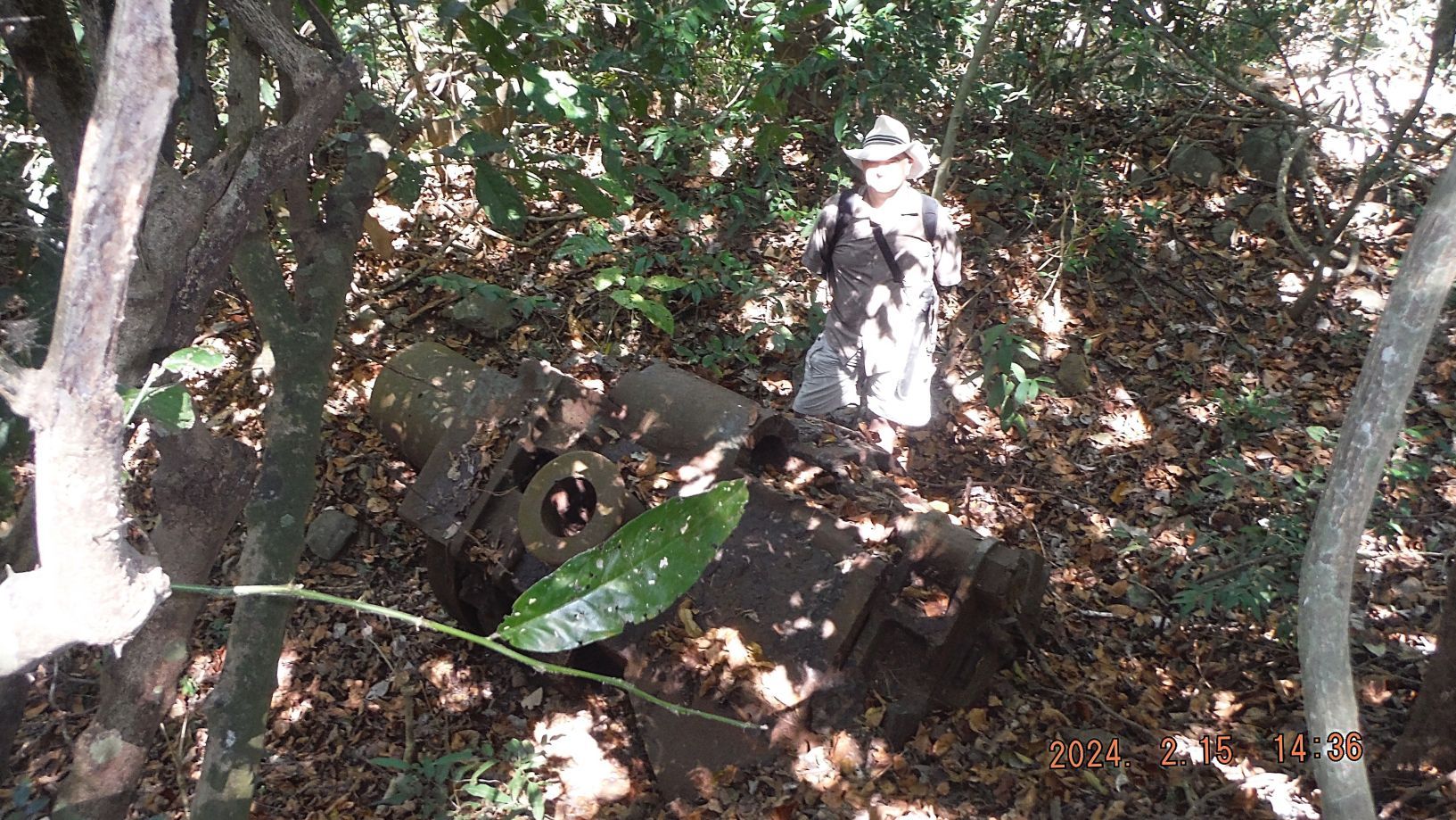 ------------------------------- Picture #53 is the Middleside parade ground; it was used for various purposes. I love that impressive tree in the middle of the ground. Here the grass is also kept very much under control by CFI; it looks good!  ------------------------------------ Picture #54 is a view of the Manila Bay Southchannel. If you are familiar with the history, you should be able to spot El Fraile Island, the Concreter Battleship and Carabao Island, the former Fort Frank. In between the two islands, ashore is where tuhe Marine Corps Base Ternate is. You can see a now road is being constructed to lead into the Sinalang Valley where Fort Frank got their water from. 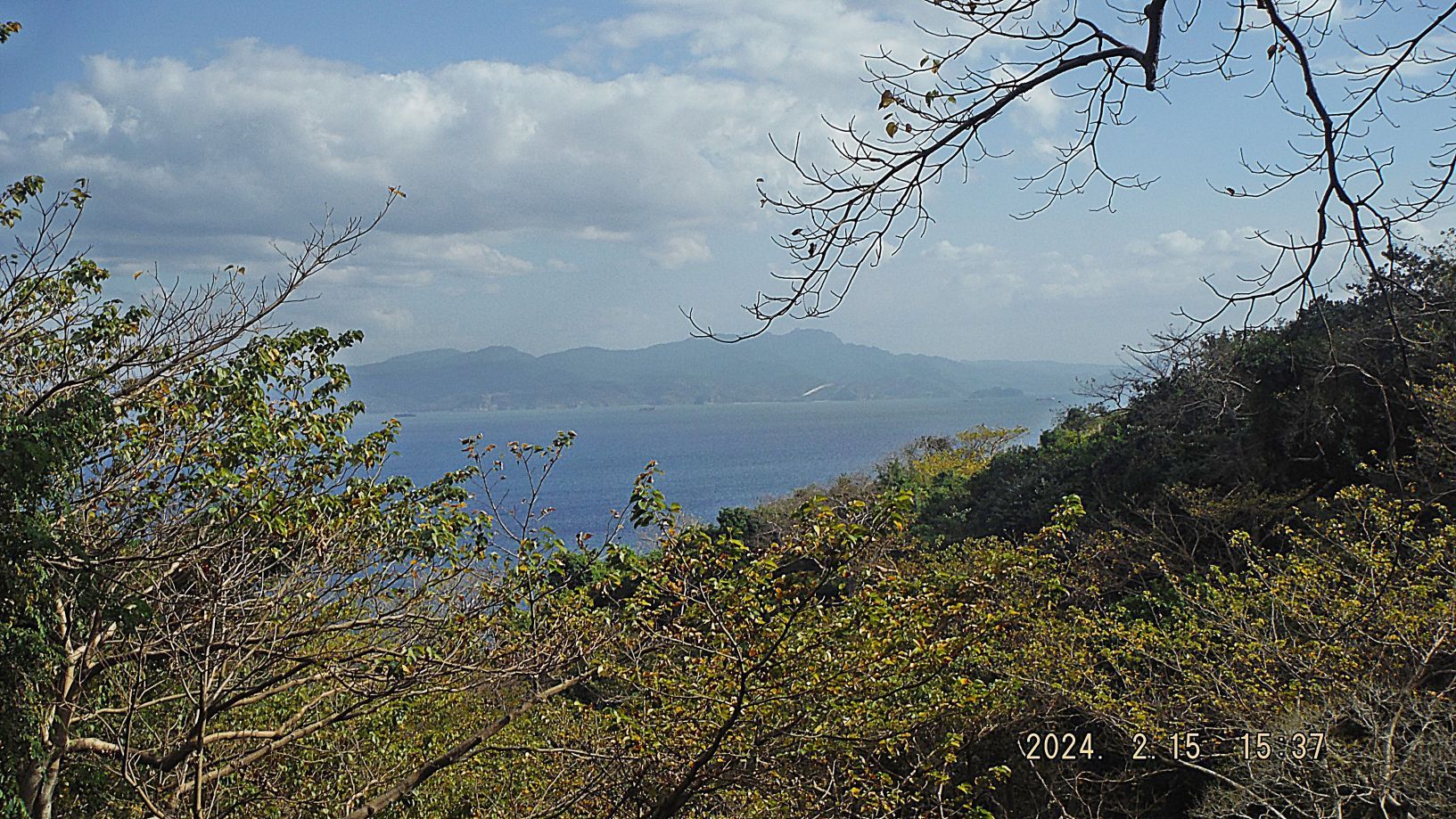 ------------------------------------ Pictures #55 and #56 are of our 79th Anniversary on the 16 FEBRUARY, 1945 "...at about 1100, two men from the regimental headquarters company, T/5 Frank Agrrigo and Pfc. Clyde I. Bates, climbed up one of the few still-erect telephone poles near the parade ground and attached to its top a U.S. flag that flew there day and night for the rest of the campaign." - Corregidor The Rock Force Assault by Lt. Gen E.M. Flanagan, Jr. Corregidor Forum Flag Raising Ceremony: corregidor.proboards.com/thread/2509/2024-flag-raising-ceremony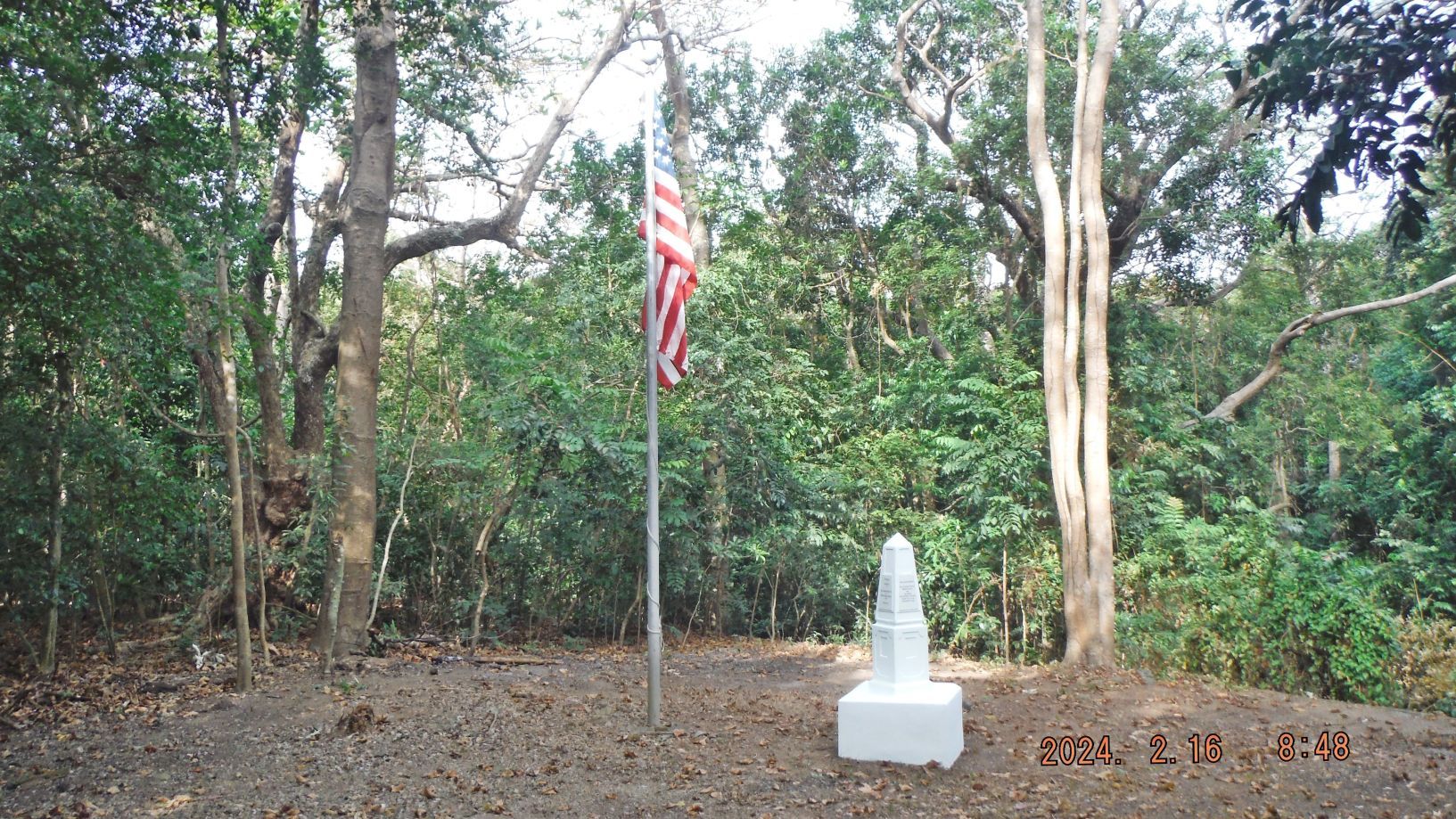 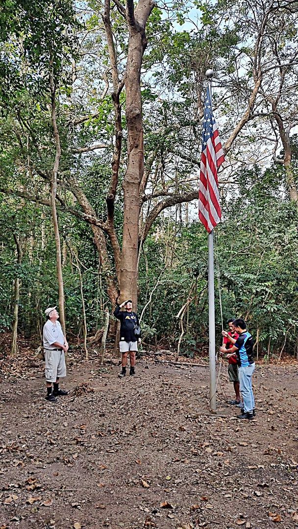 ------------------------------ Pictures #57 to #64 are pictures of the Corregidor Inn and views from it. The Corregidor Inn is now in the direct hands of CFI. It is not open but could be utilized thru direct contact with CFI for large group events! 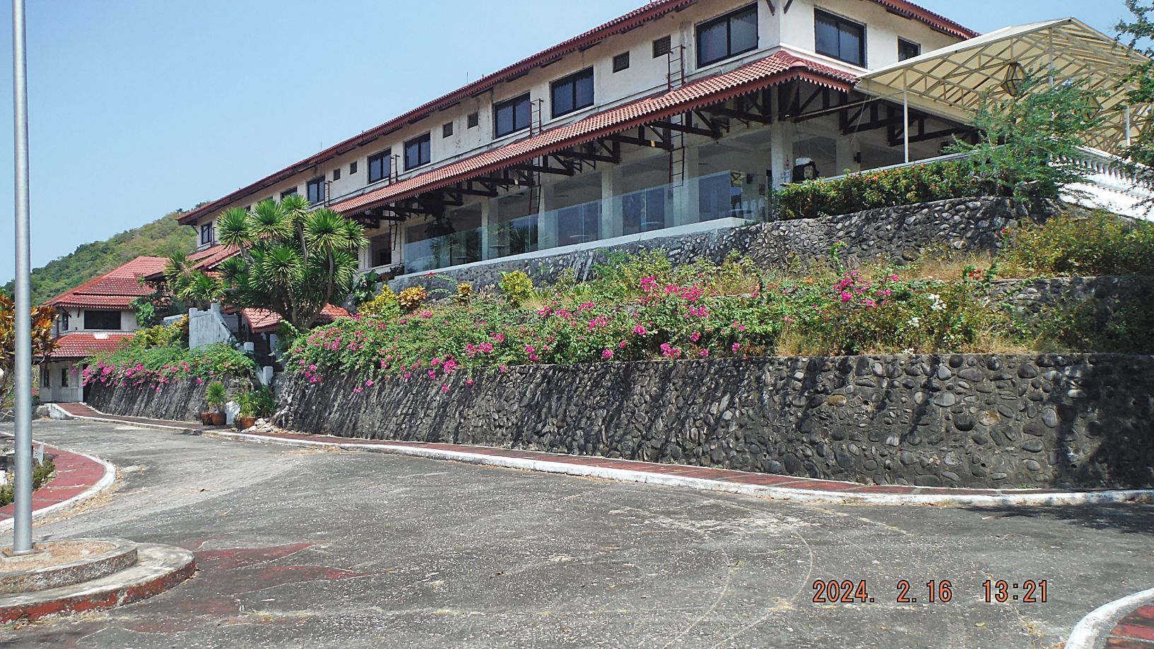  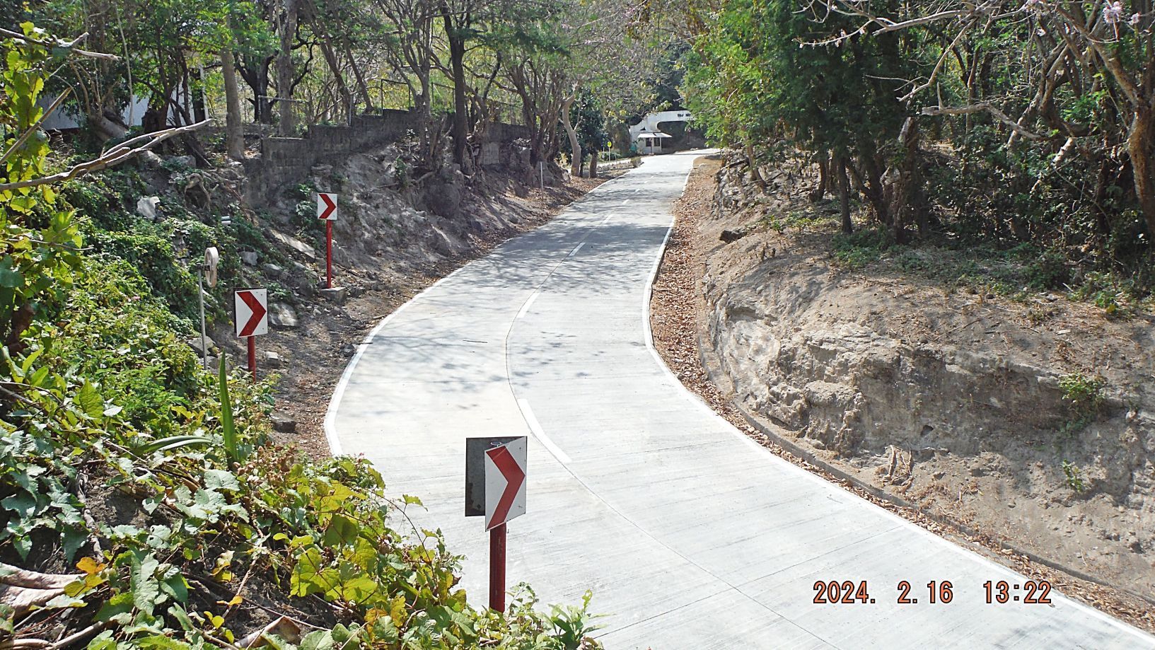 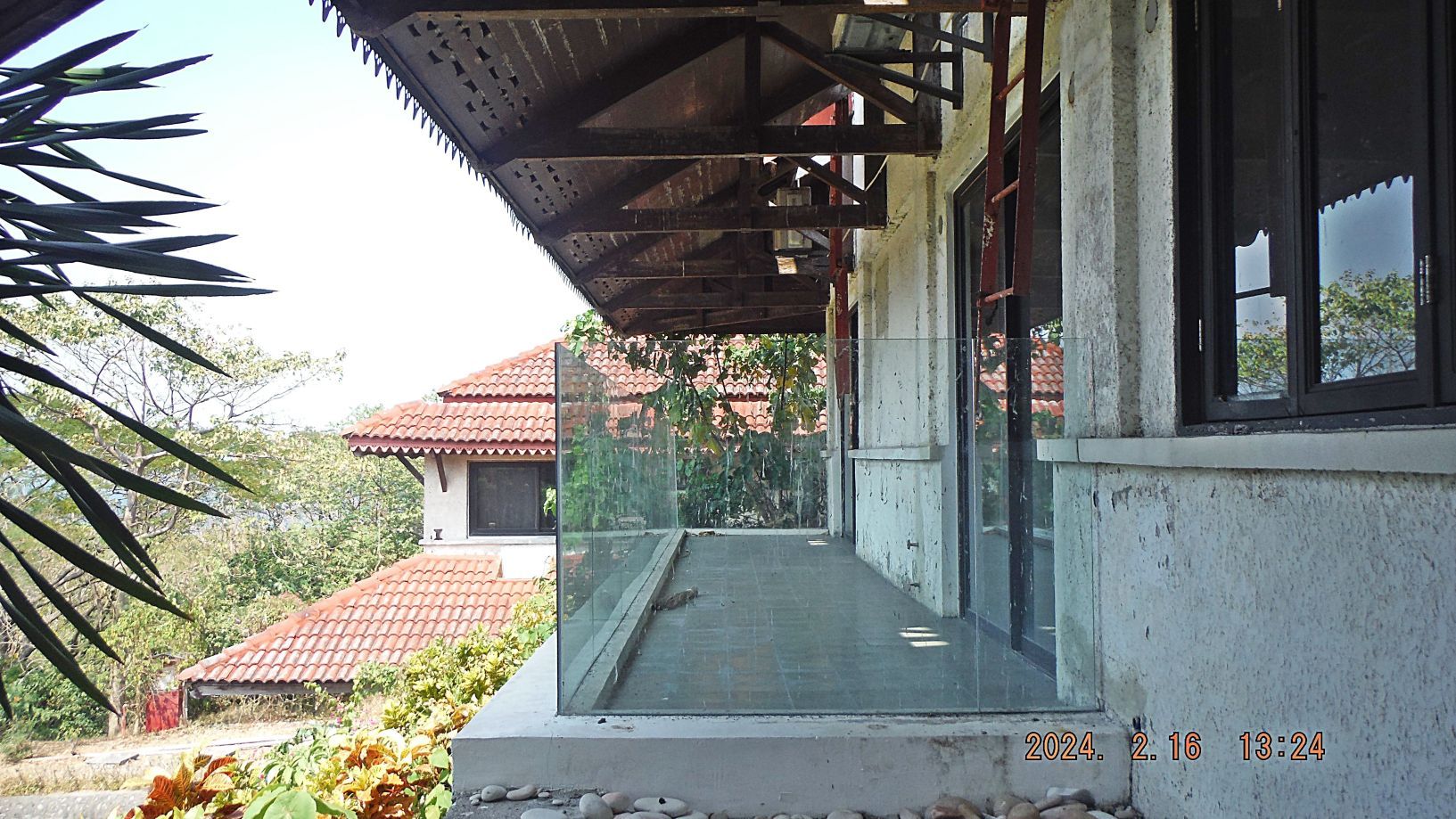 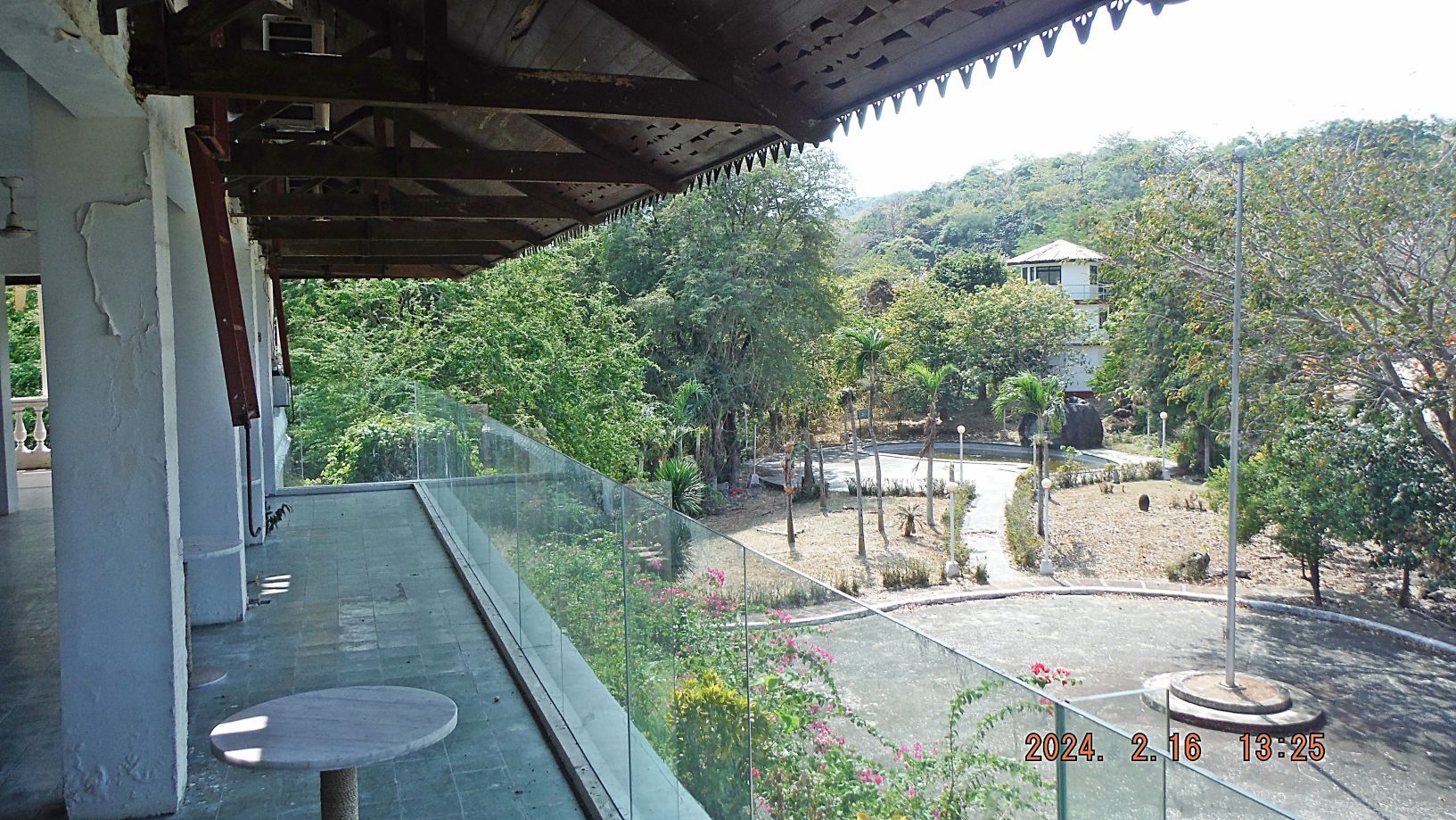 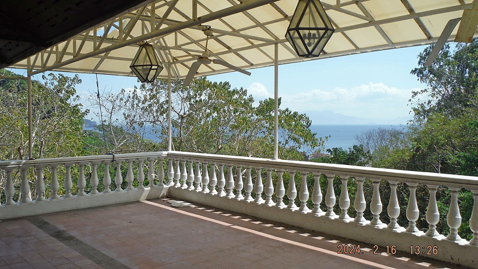 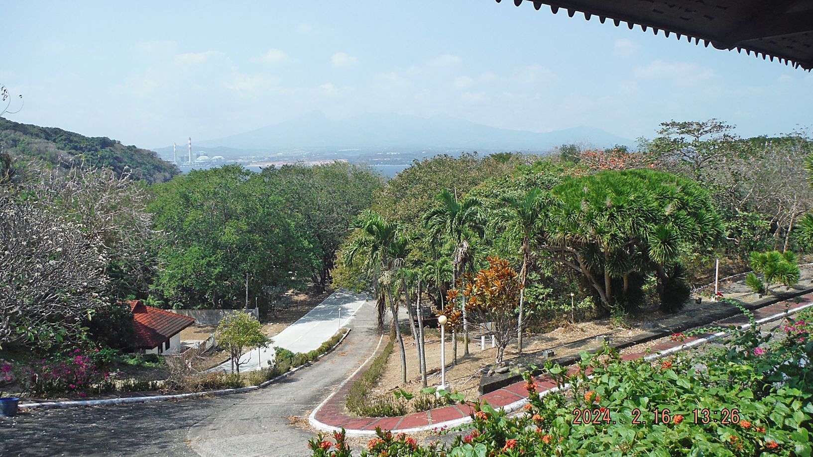 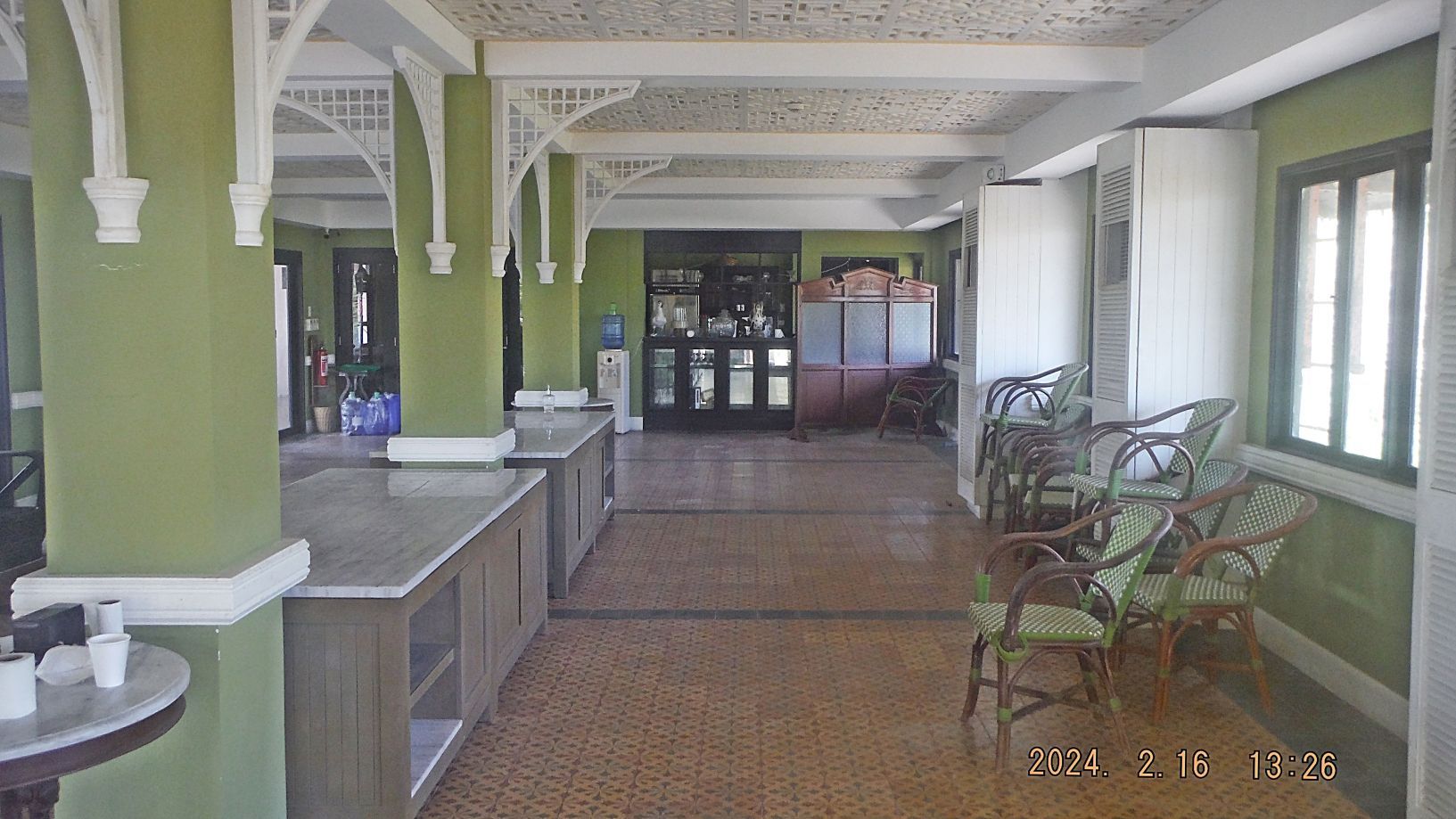 ----------------------------------- Pictures #65 to #68 are the beginning of a series of pictures of the south side, Bottomside Corregidor Island; this was the area of Barrio San Jose in Fort Mills. Here again, we can see that CFI has good control over grass growth and we all know how strong that growth is in a tropical climate! 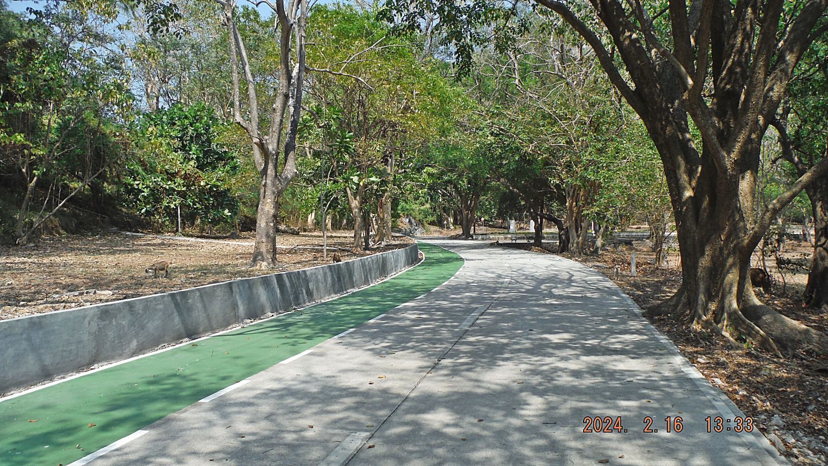 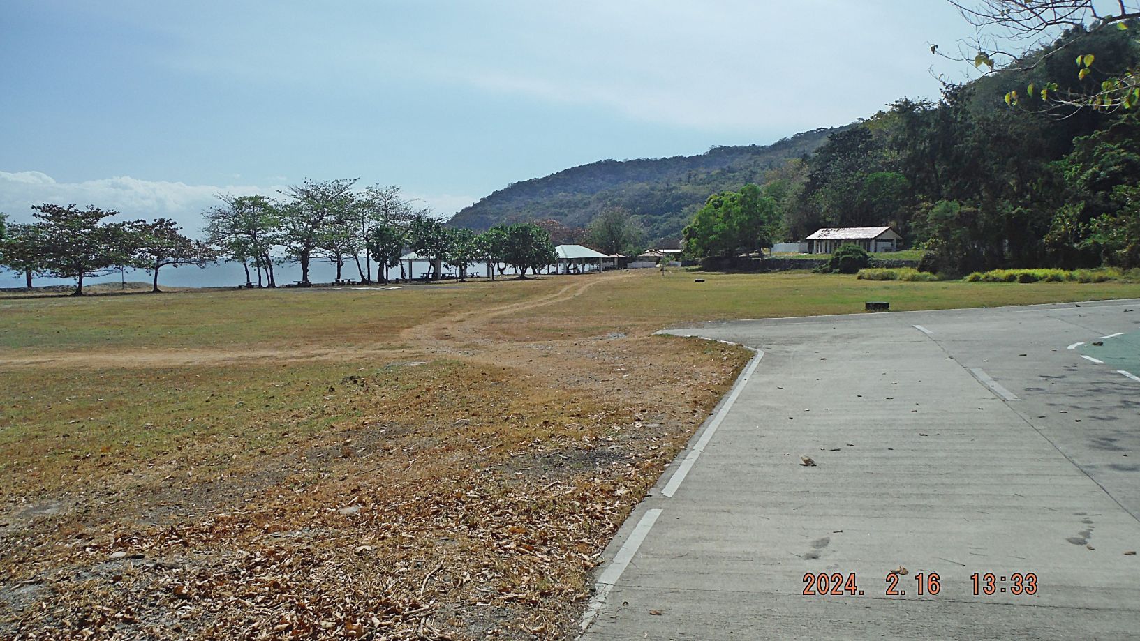 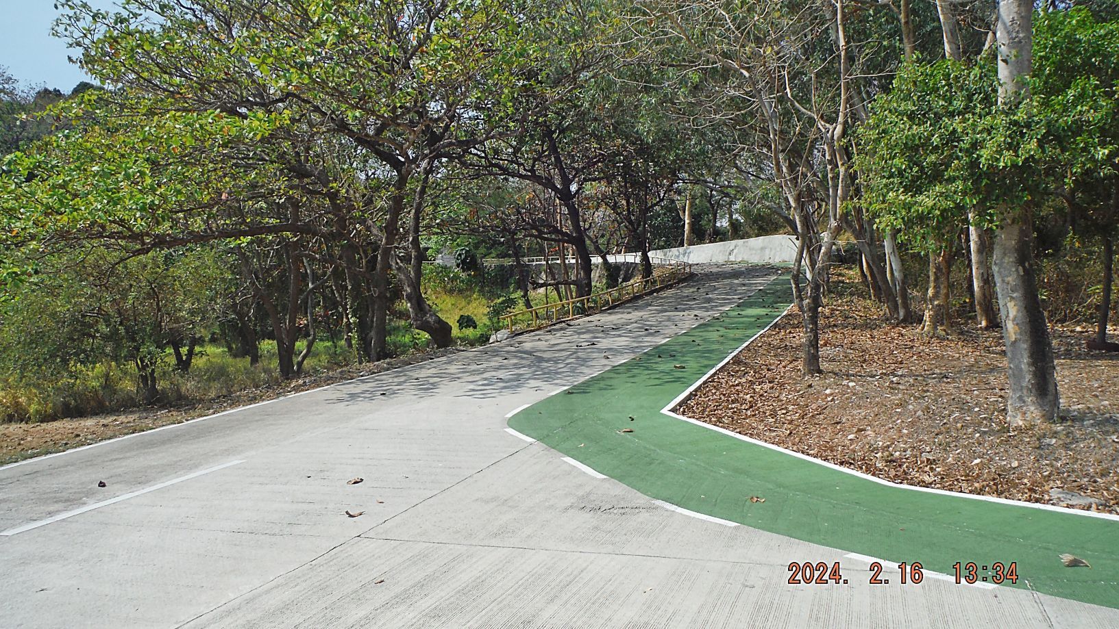 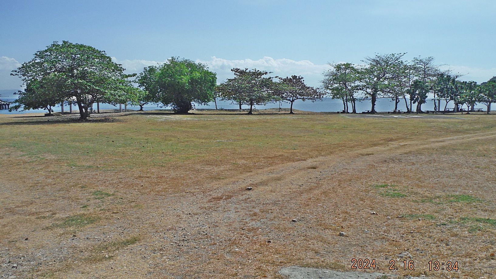 |
|
|
|
Post by Karl Welteke on Feb 26, 2024 16:50:31 GMT 8
5th and last Segment, 1st Album: This was perhaps our 20th commemorations visit to Corregidor to celebrate the liberation of Corregidor in 1945. These last 23 images of album 1 are of continuing our visit at Bottomside Corregidor. This is the URL for the whole album: www.facebook.com/media/set/?set=a.10227572440890314&type=3------------------------------------- Pictures #69 to #73 are views of the Corregidor Bottomside at the south side which was the area of Barrio San Jose. Picture #71 was the Fort Mills South Mine Wharf which is now just called the South Dock. Picture #72 is a large post war building which has been used in the past as a small eating and coffee shop place. In picture #73 we see San Jose Pont at right. The buildings ahead are post war and are now used by a Marine Corps security team. The Navy security team is also located at the south side, Corregidor Bottomside. 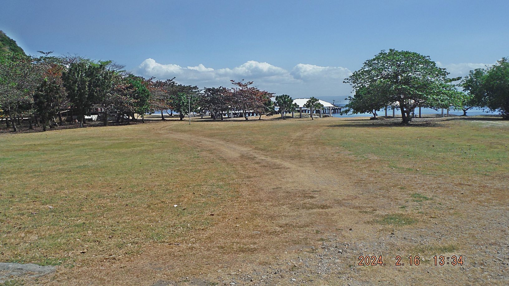 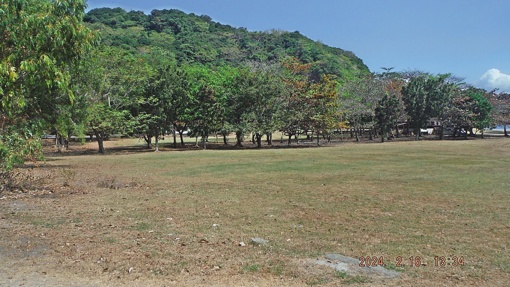  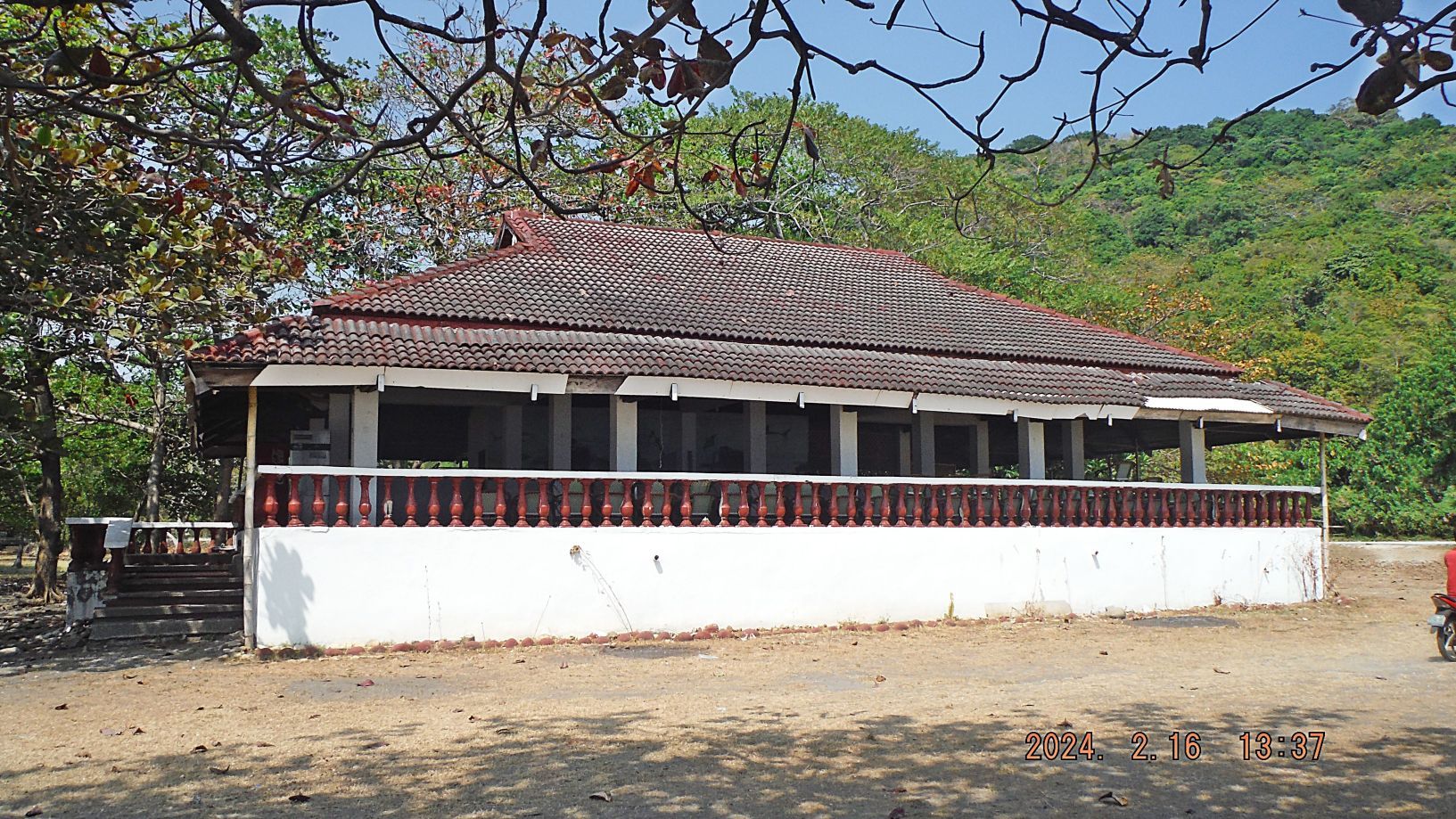 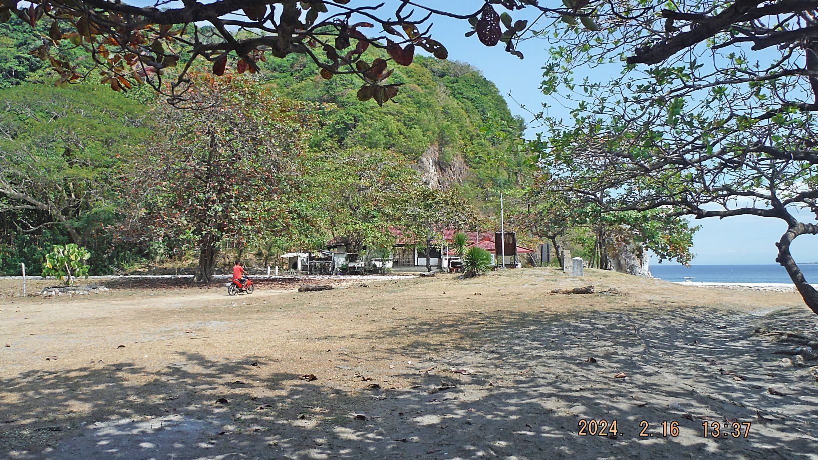 ------------------------------------------------ Pictures #74 and #75 are, I believe, the Fort Mills communication, telephone cable hub No. 1. These hubs are located all over the island and they all are shaped differently., This one , in the past, one could walk down into it, the 2nd shot (picture #75) is trying to get an inside view of the hub.   ------------------------------------------------- Pictures #76 to #80 are views along the road from the South Dock to the north side of Corregidor Bottomside. The building in picture #77 is brand new, still not being used; it replaced another post war building of a similar size and form which in recent time was used as an eating place, private enterprise. Pictures #79 and #80 are the historical marker, Gen. Wainwright Memorial and the Angels of Bataan Marker (The Nurses, US and Filipino). Look at the map in the beginning of this album. 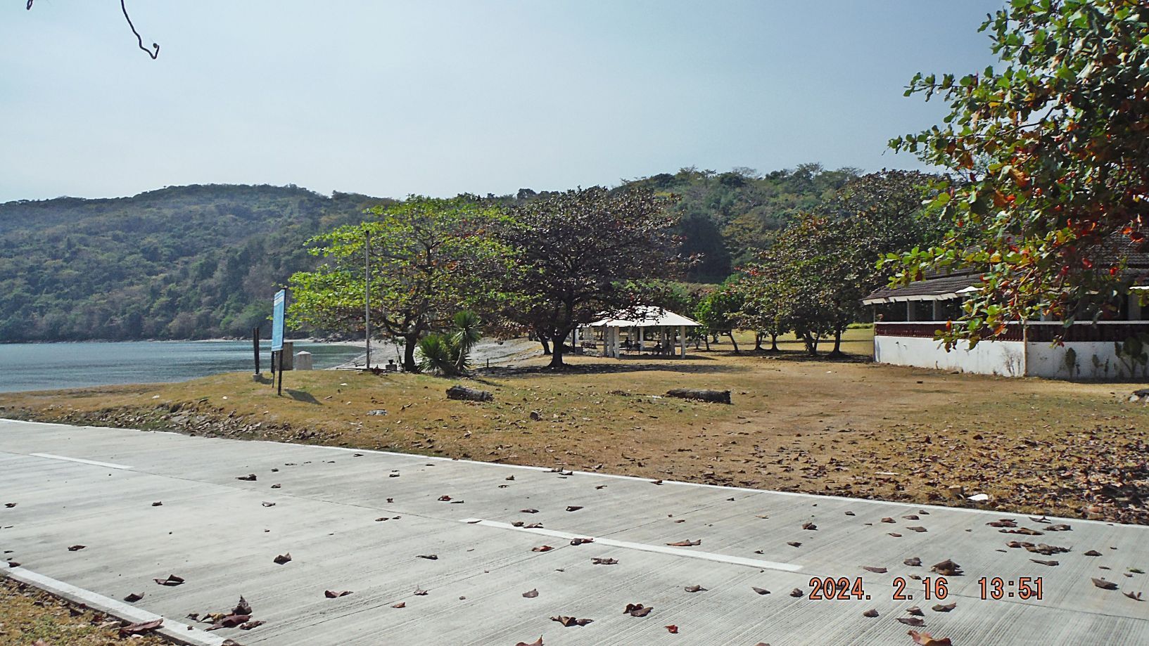 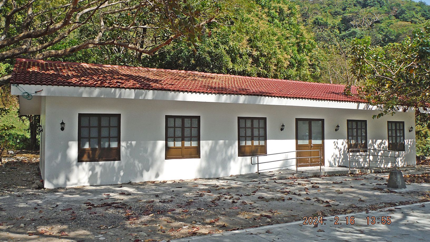 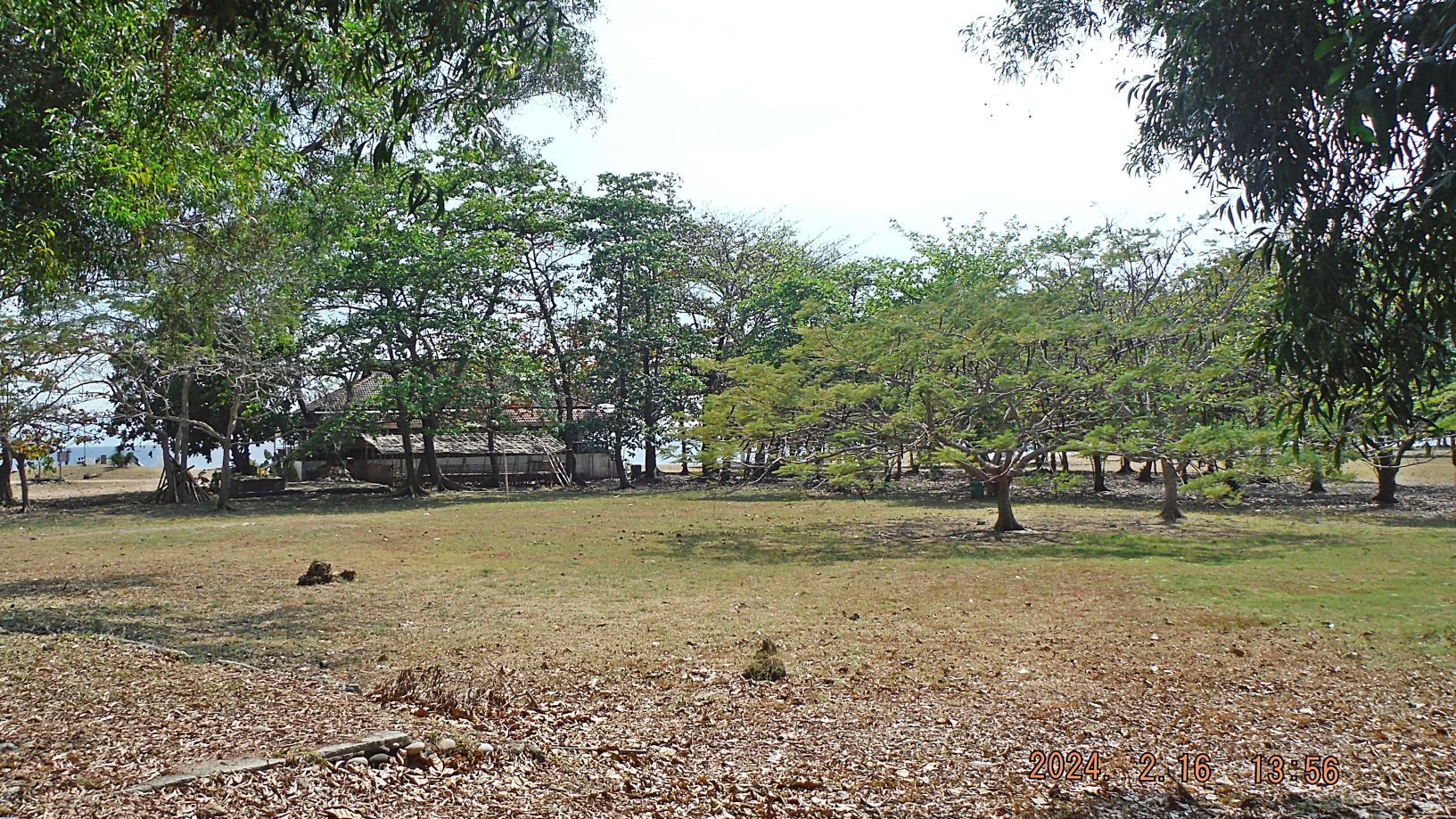 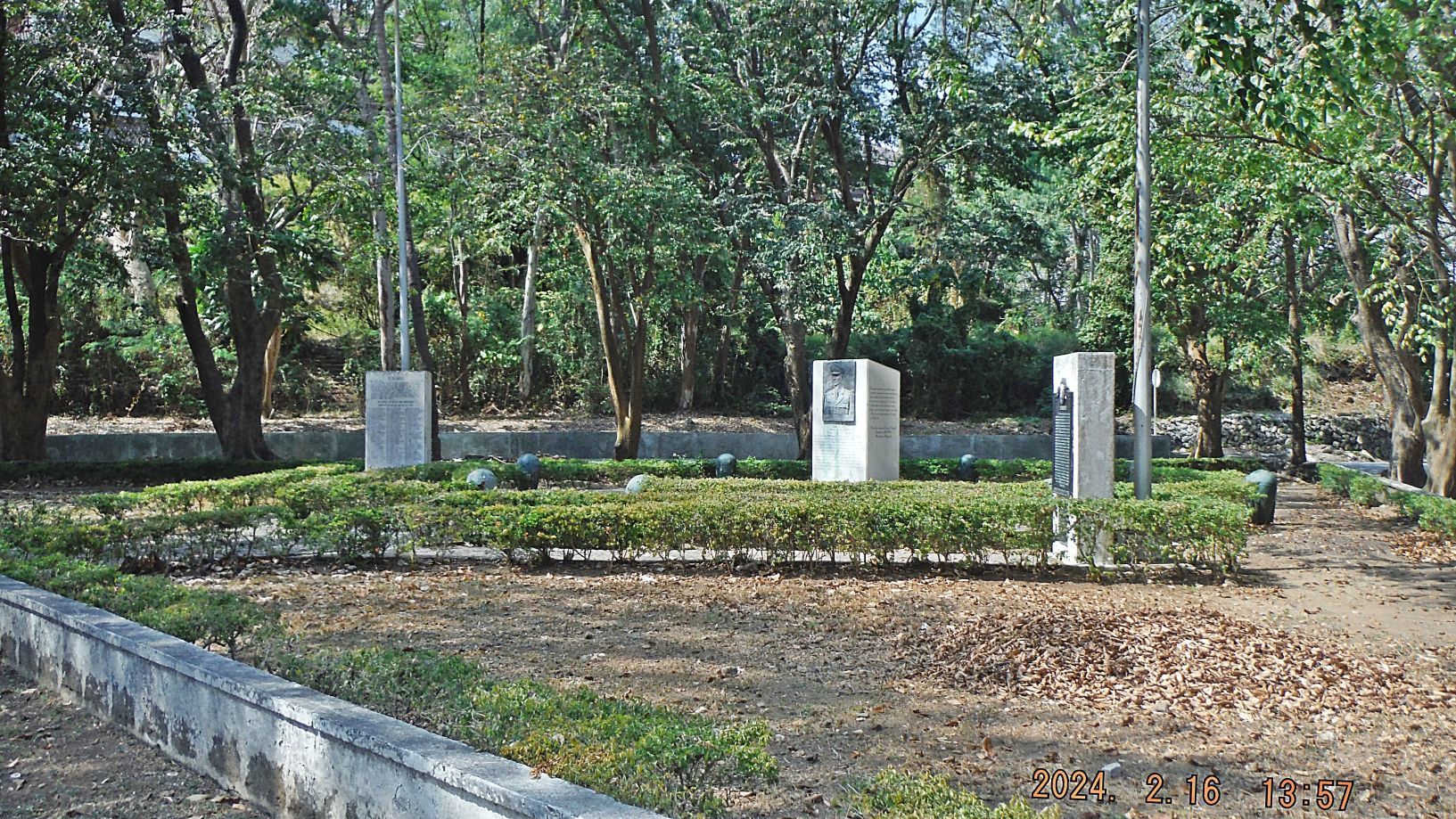  ---------------------------------------------------- Pictures #81 and #82 are the Trolley Bridge, coming from the west entrance of the Malinta Tunnel, of the former Fort Mills electrical trolley/ railway transportation system. In picture #82 we are looking south. 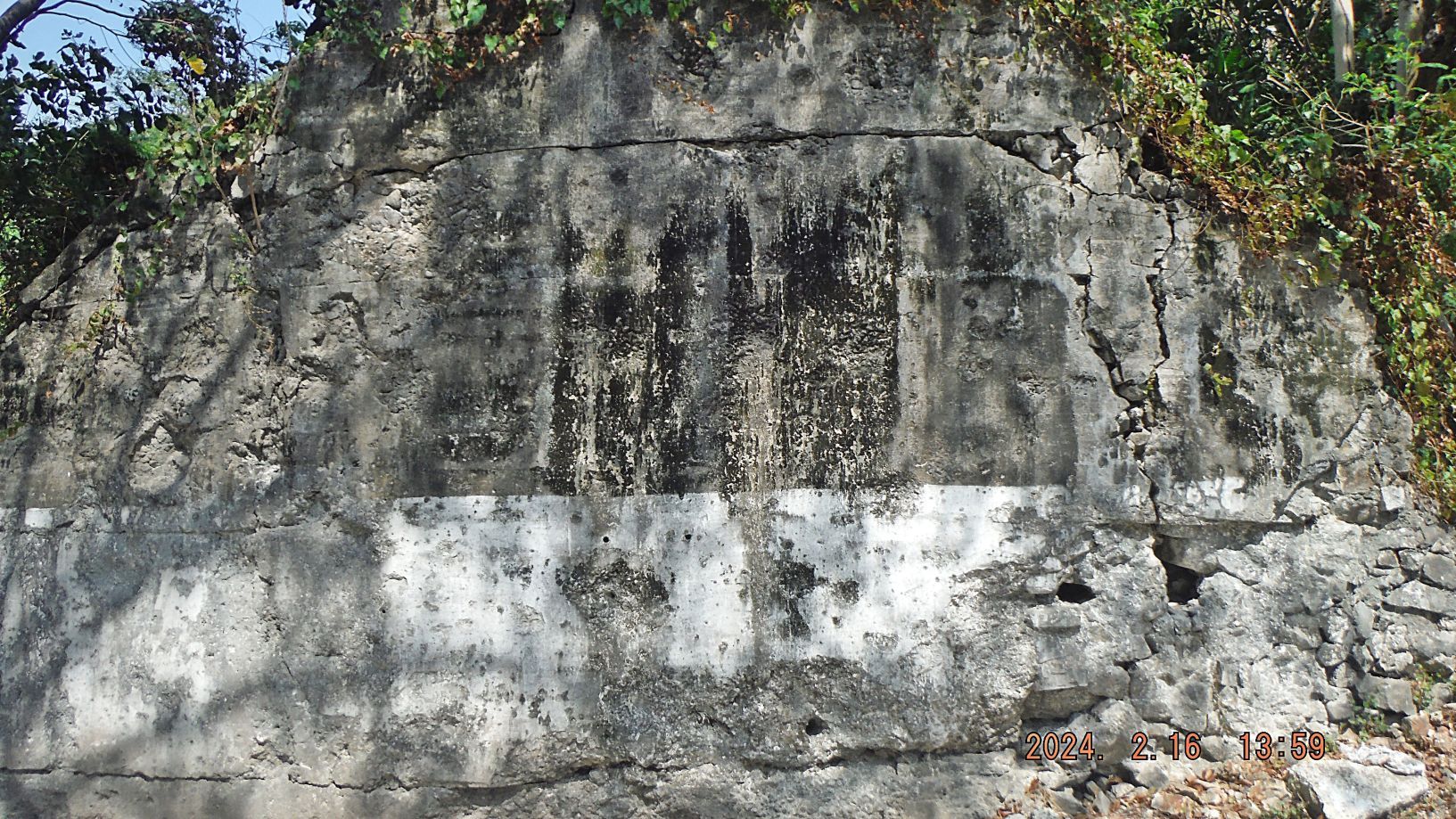 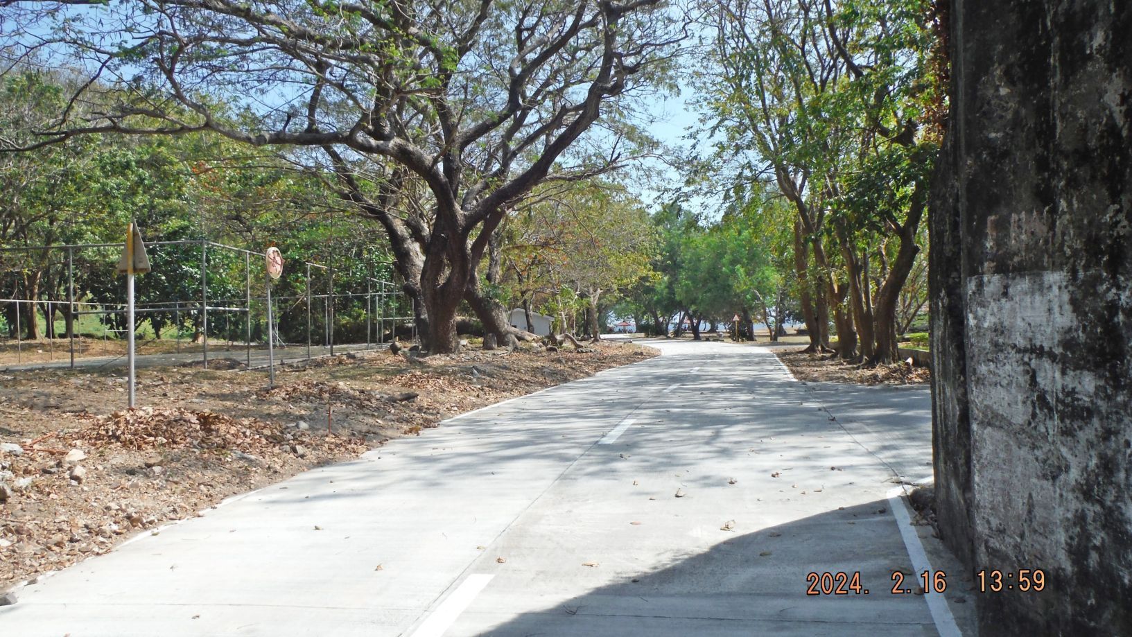 ----------------------------------------------------- Pictures #83 to #87 are views of the San Jose Chapel; it was located at this location before the war. The building now is post WWII reconstruction. The chapel seems to be in need of repair. 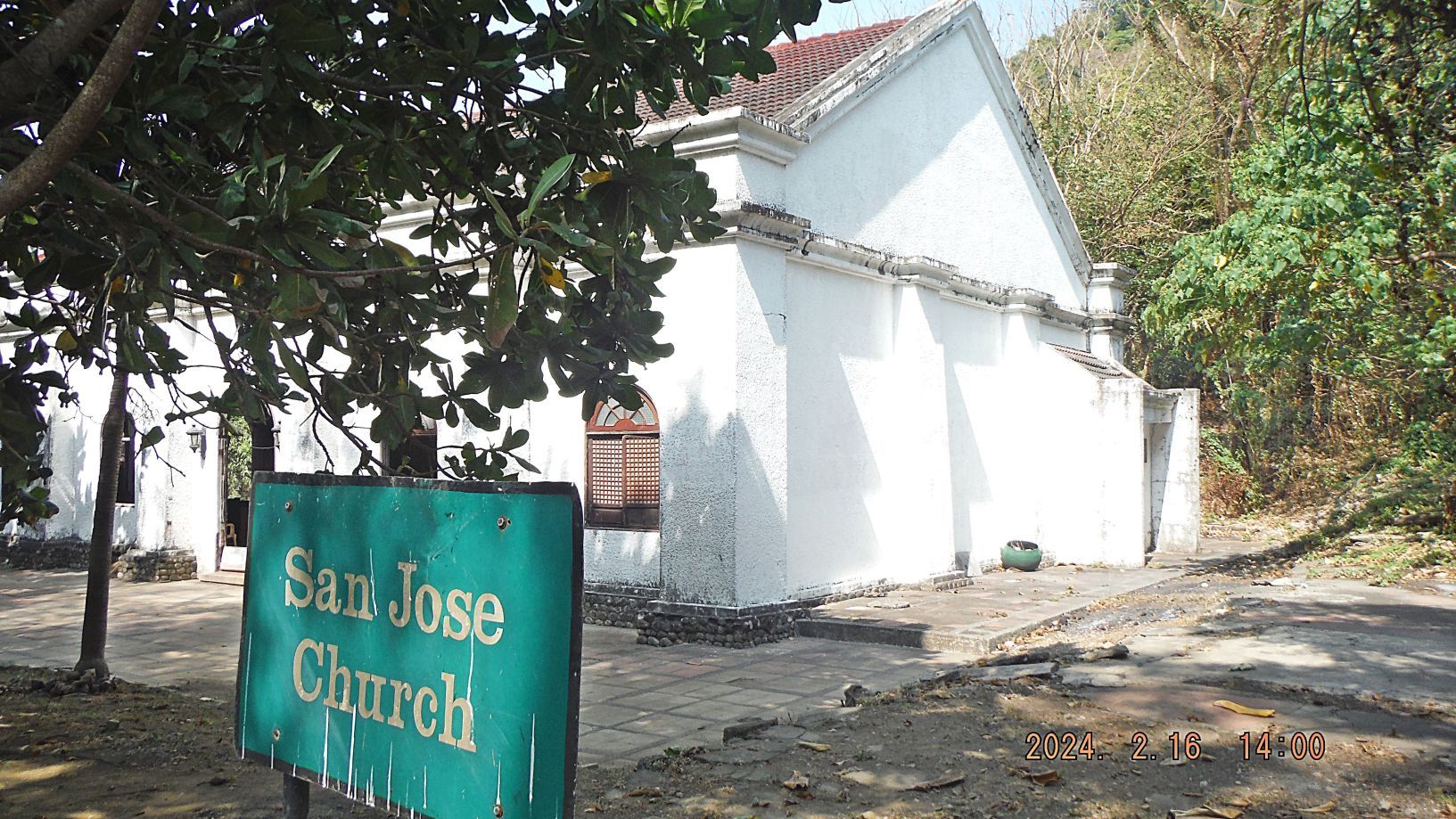 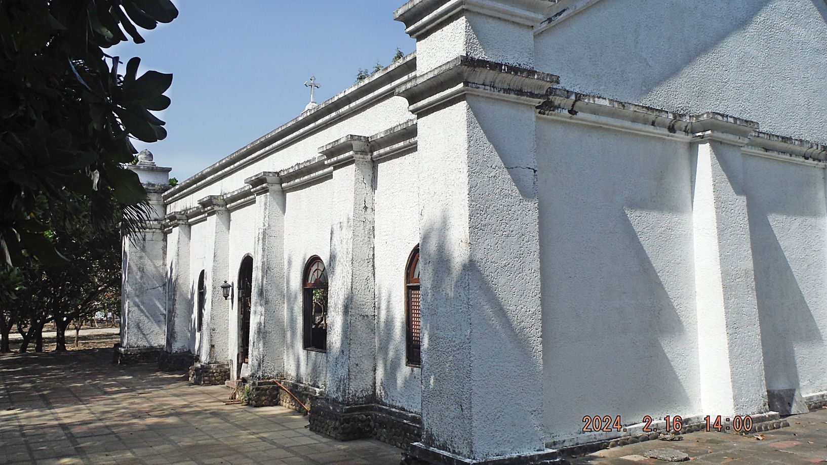 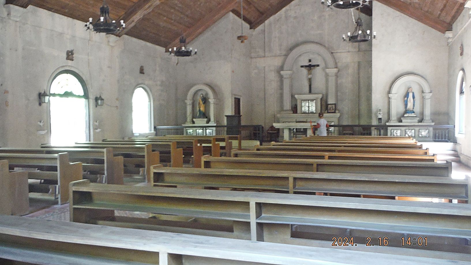   -------------------------------------------------------- Pictures #88 to #91 are views of Corregidor Bottomside at its north side. Image #88 is the brand new dining and event hall of the McArthur’s Lodge, which is where we stayed for three nights. Picture 89 demonstrates the Great Trash Plaque of Manila Bay; it affects Corregidor really bad because it is in the way of the trash flowing in and out of Manila Bay. Picture #90, Corregidor (CFI) offers this, make your call, like we did. Picture #91 shows an early and small banca boat arriving from Bataan with some supplies for the Corregidor staff members.  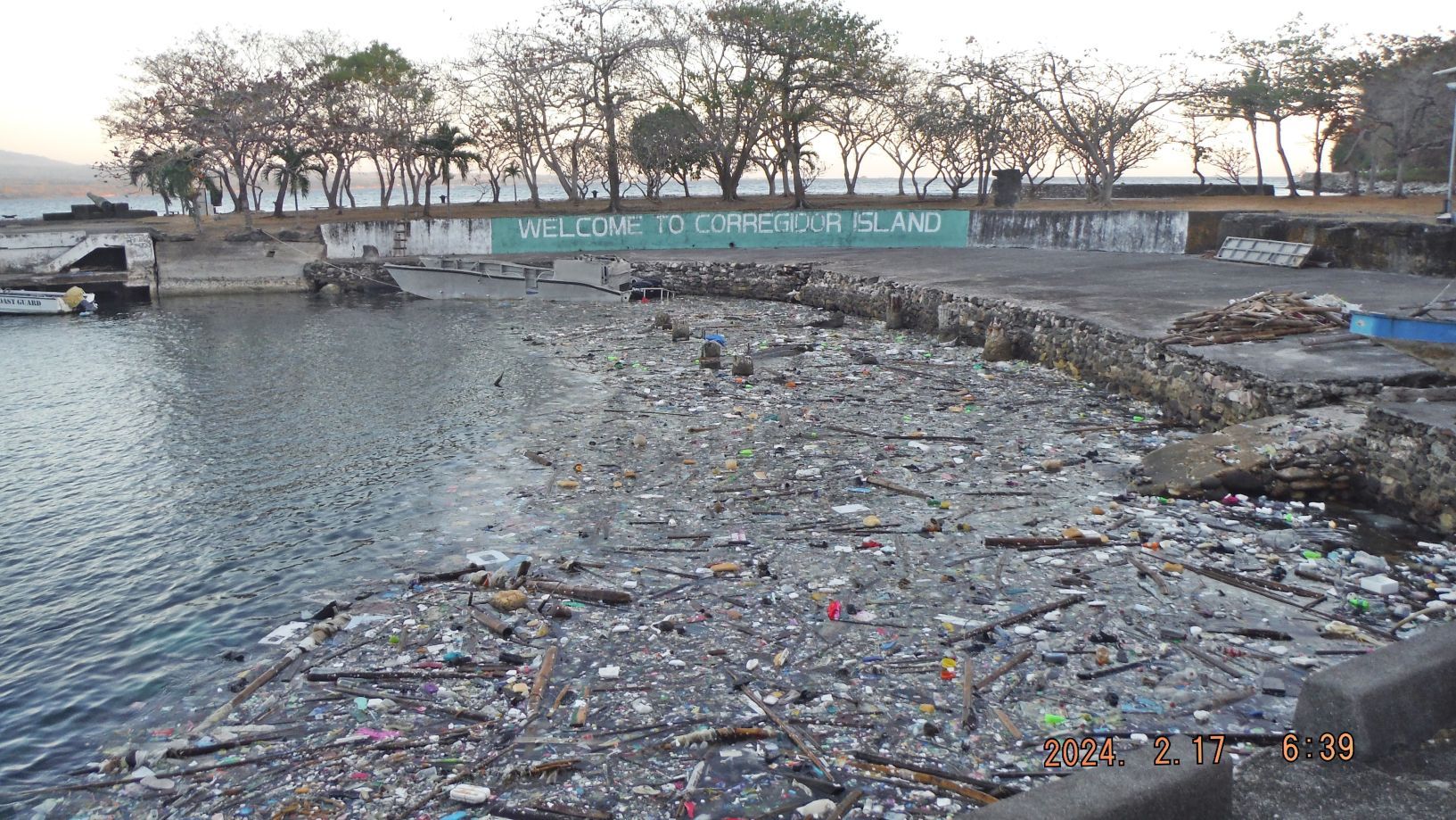 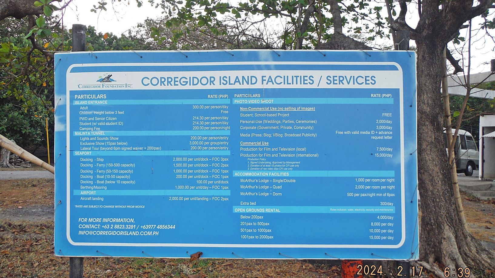 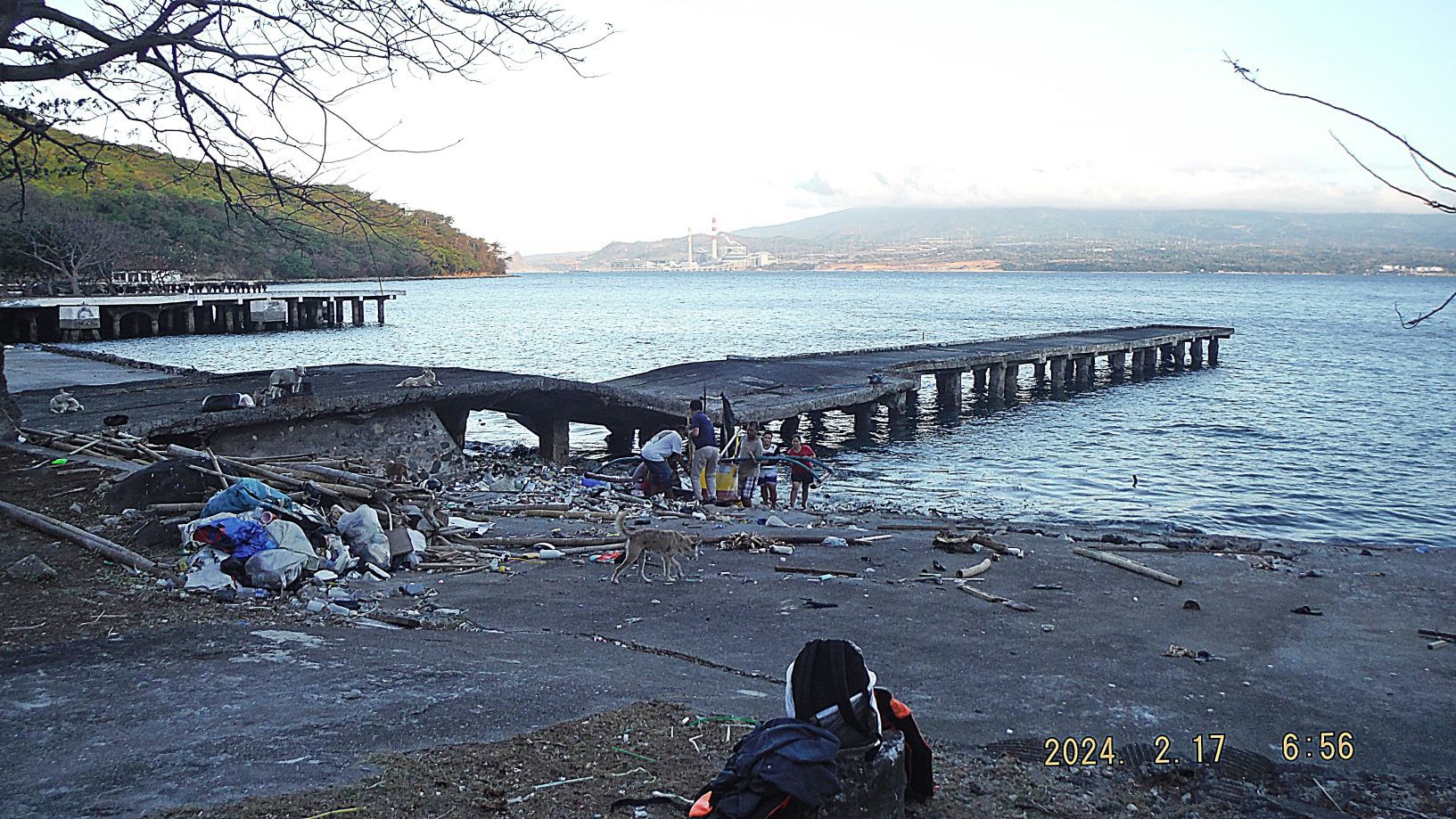 |
|
|
|
Post by beirutvet on Feb 28, 2024 22:38:25 GMT 8
So glad to see the parade ground on Topside receiving much needed care. When I was last there, 2 plus years ago, it was all overgrown and desperately in need of mowing.
So sad to see the neglect in what was my favorite hotel, the Corregidor Inn. It could once again claim the number one spot in my heart if they would just keep up the repairs. But alas, where is the money going to come from for the upkeep if they do not reopen the island to tourism?
|
|
|
|
Post by Karl Welteke on Mar 18, 2024 10:30:58 GMT 8
Corregidor Visit, First Flag 79th Anniversary, 2nd Album This is the 2nd of 2 Albums. It is the first of four Segments! Perhaps our 20th commemorations visit to Corregidor to celebrate the liberation of Corregidor in 1945. This is the 79th Anniversary on the 16 FEBRUARY, 1945 "...at about 1100, two men from the regimental headquarters company, T/5 Frank Agrrigo and Pfc. Clyde I. Bates, climbed up one of the few still-erect telephone poles near the parade ground and attached to its top a U.S. flag that flew there day and night for the rest of the campaign." - Corregidor The Rock Force Assault by Lt. Gen E.M. Flanagan, Jr. Our 2024 Corregidor Forum Flag Raising Ceremony: corregidor.proboards.com/thread/2509/2024-flag-raising-ceremony--------------------------------------------- #001, #002, #004 pics and the pics from #008 to 010 are three pics of the Philippine-American Friendship Memorial topside, former Fort Mills on Corregidor Island. It has markers of the commands that defended the Philippines against the Japanese aggressor 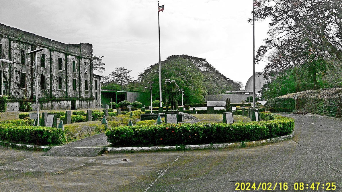 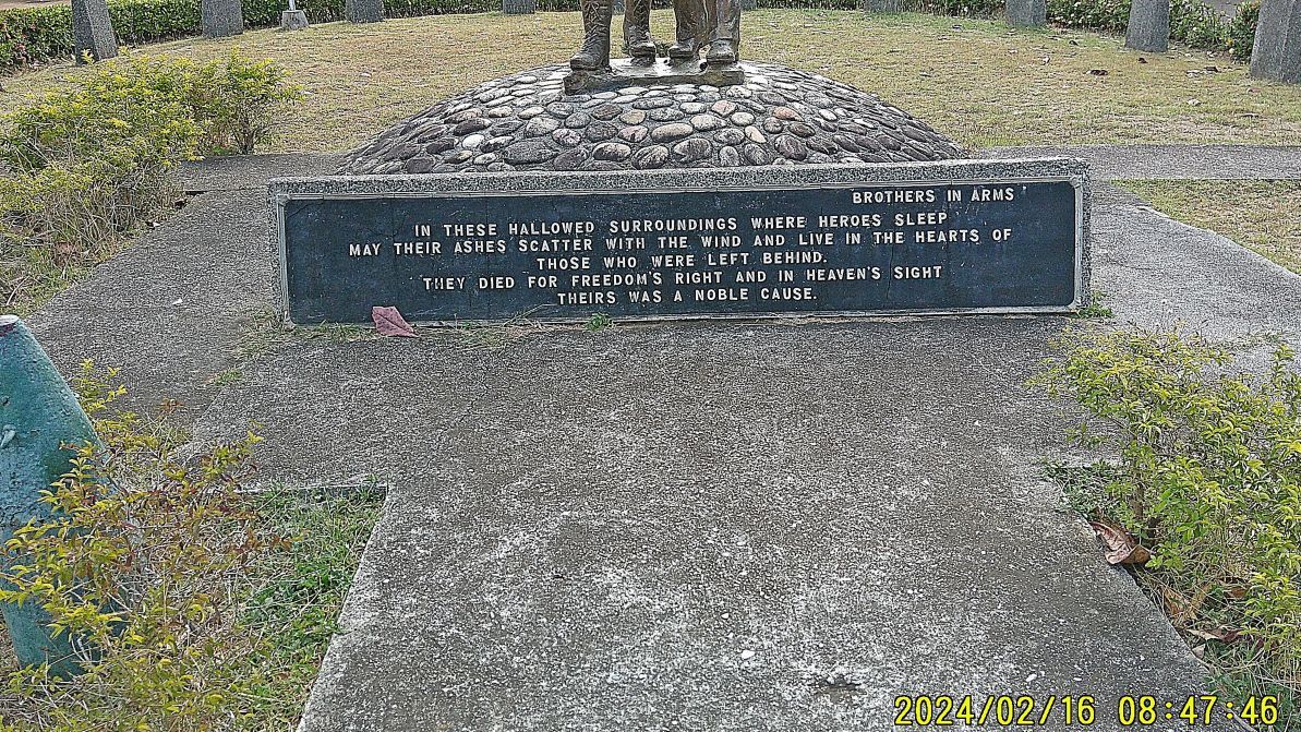 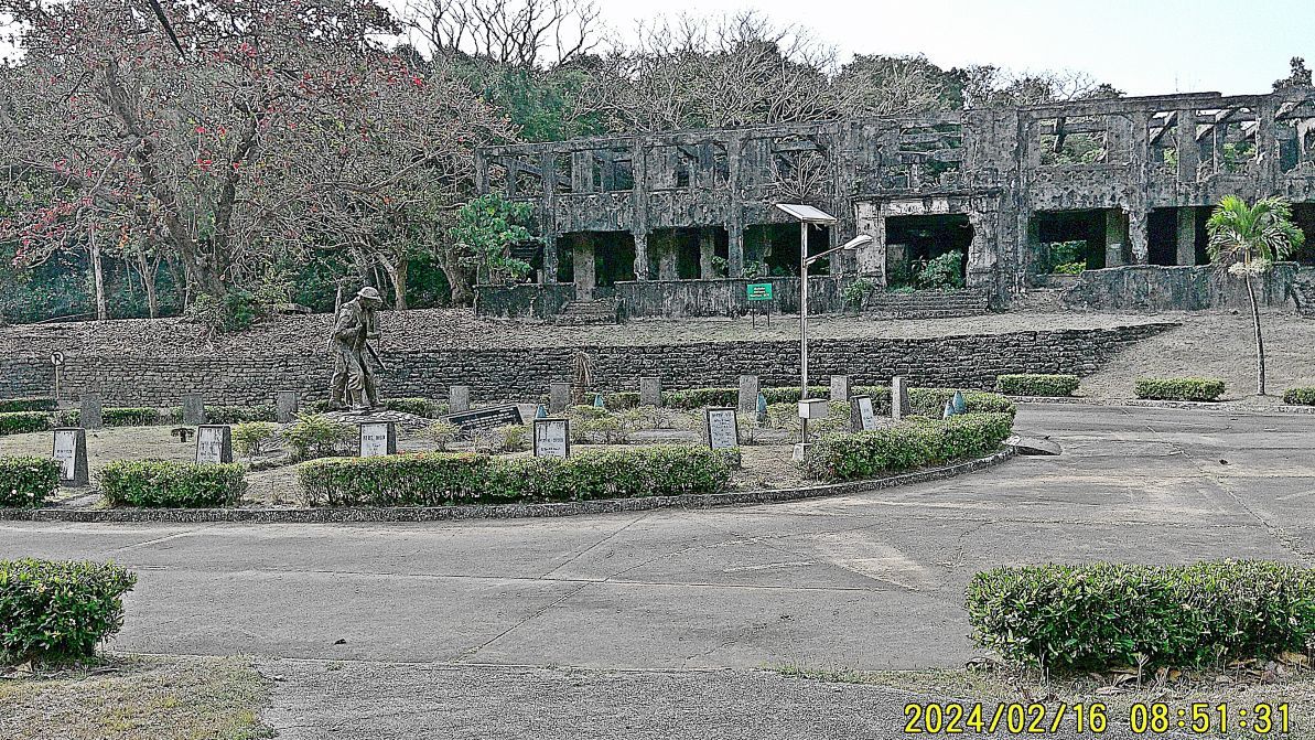 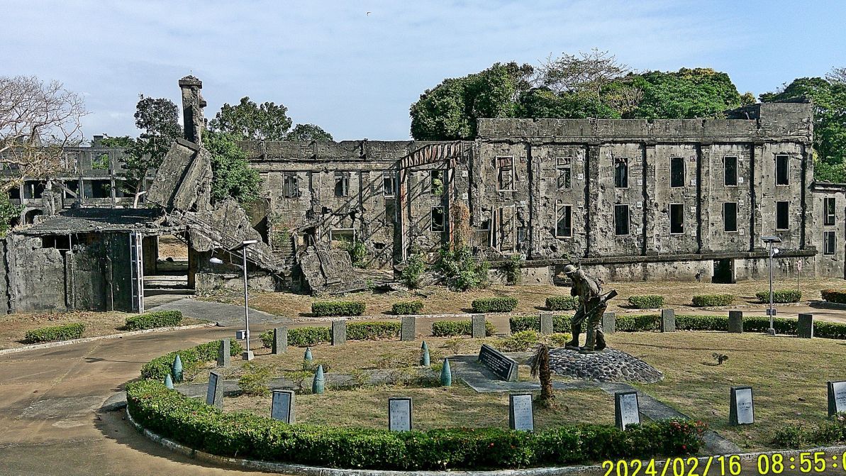 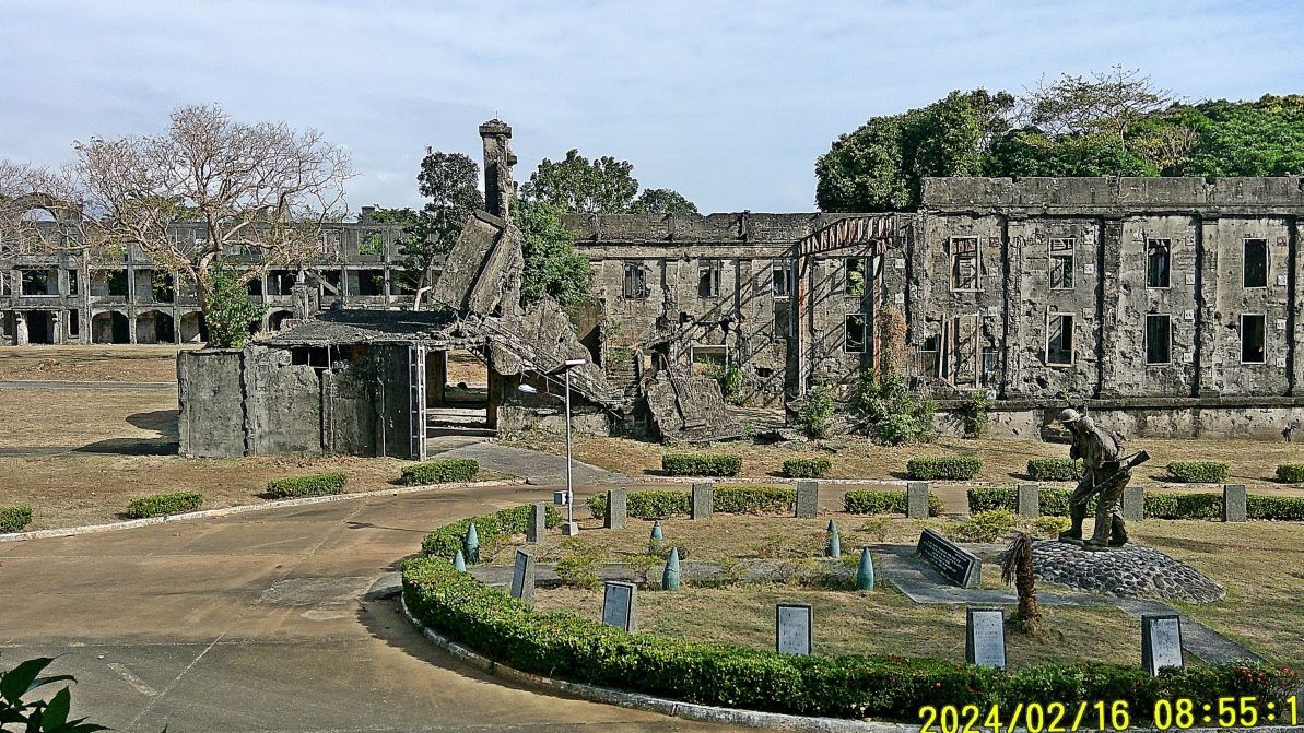 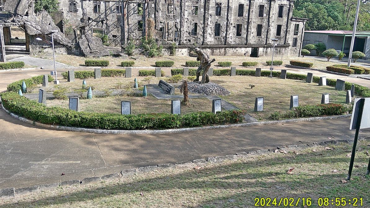 ----------------------------------------- #003 image is a section of the Fort Mills map as it pertains to this first segment of about 20 images. It is marked to help you find the location of the picture subjects. 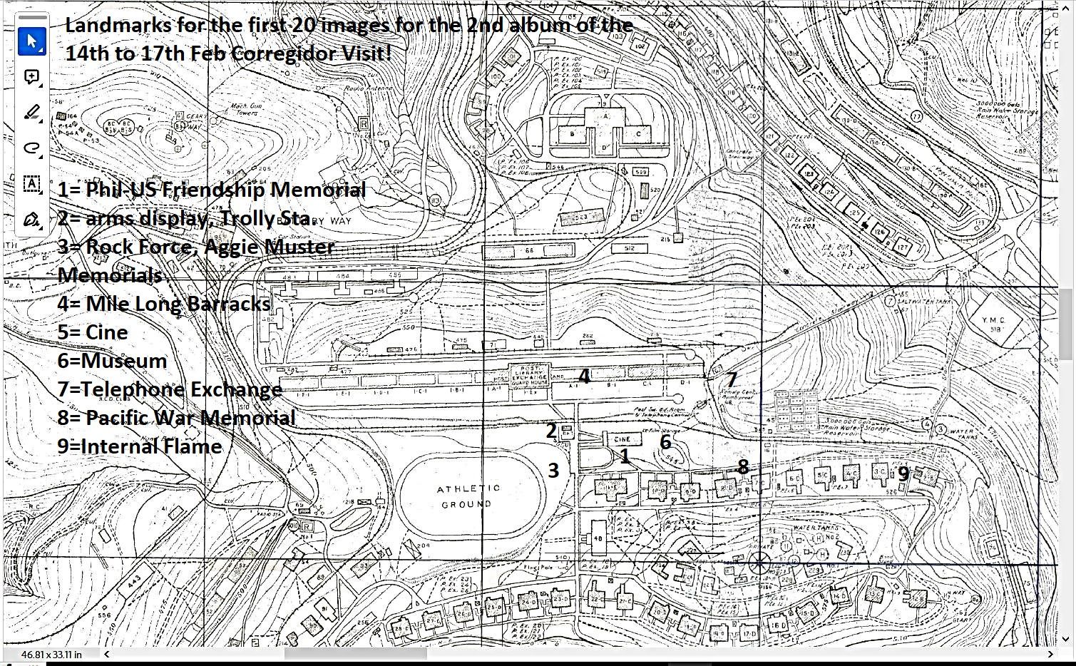 ----------------------------------------------------- #005 picture is the NE end of the former Fort Mills Parade Ground and shows a display of WWII weapons, the base of the Topside Trolley Station and the so-called Mile Long Barracks. 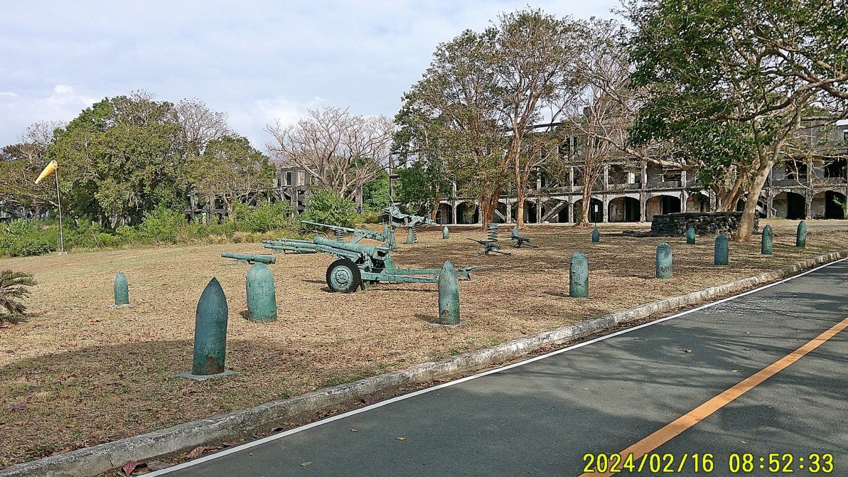 -------------------------------------------------------------------- #006 image is the Rock Force Memorial/Marker located here at the east end of the Fort Mills Parade Ground on Corregidor Island. it is dedicated to all the units that participated in the liberation of Corregidor. 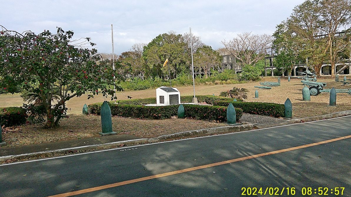 ----------------------------------------------- #007 image shows the AGGIE MUSTER MEMORIAL ON CORREGIDOR Aggie Muster is about great pride in and tradition of the Texas A and M University. A memorial has been established on Corregidor in 2015. 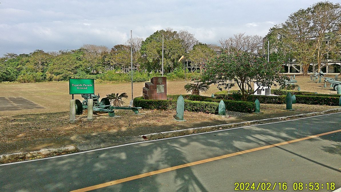 ----------------------------------------------- #011 to # 016 images are of the Pasic War Memorial Museum on Corrigidor Island. One piece of news is that the gun barrel in front of the Coast Guard building at Bottomside has been turned over to this museum and was put in the reception area of the museum. 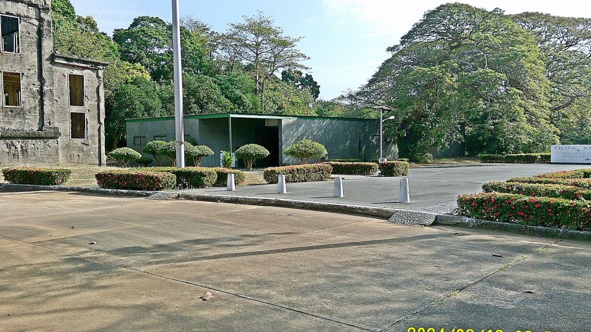 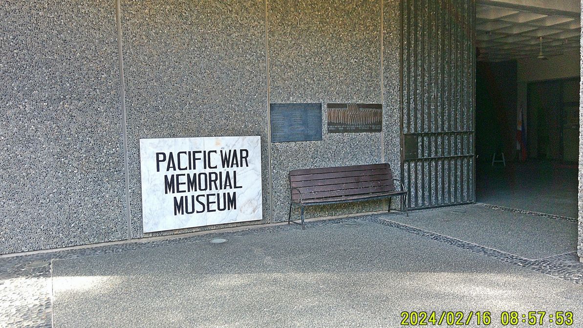   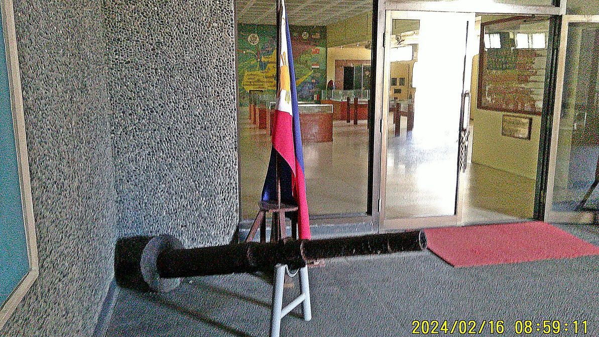 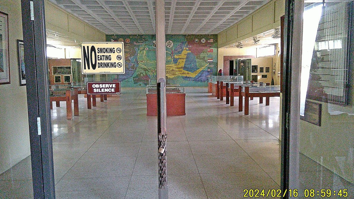 ----------------------------------------- #017 to #019 are pics, standing in front of the Fort Mills Telephone exchange, with a view towards the Pacific War Memorial and a view towards the Cine passed the present Museum. 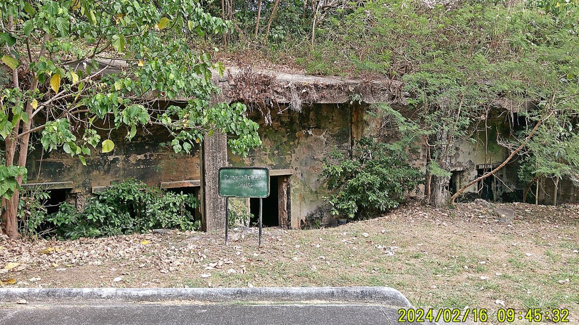 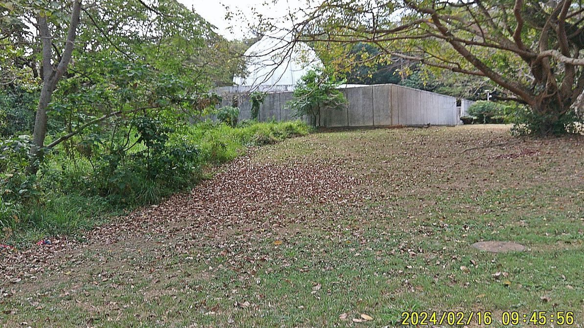 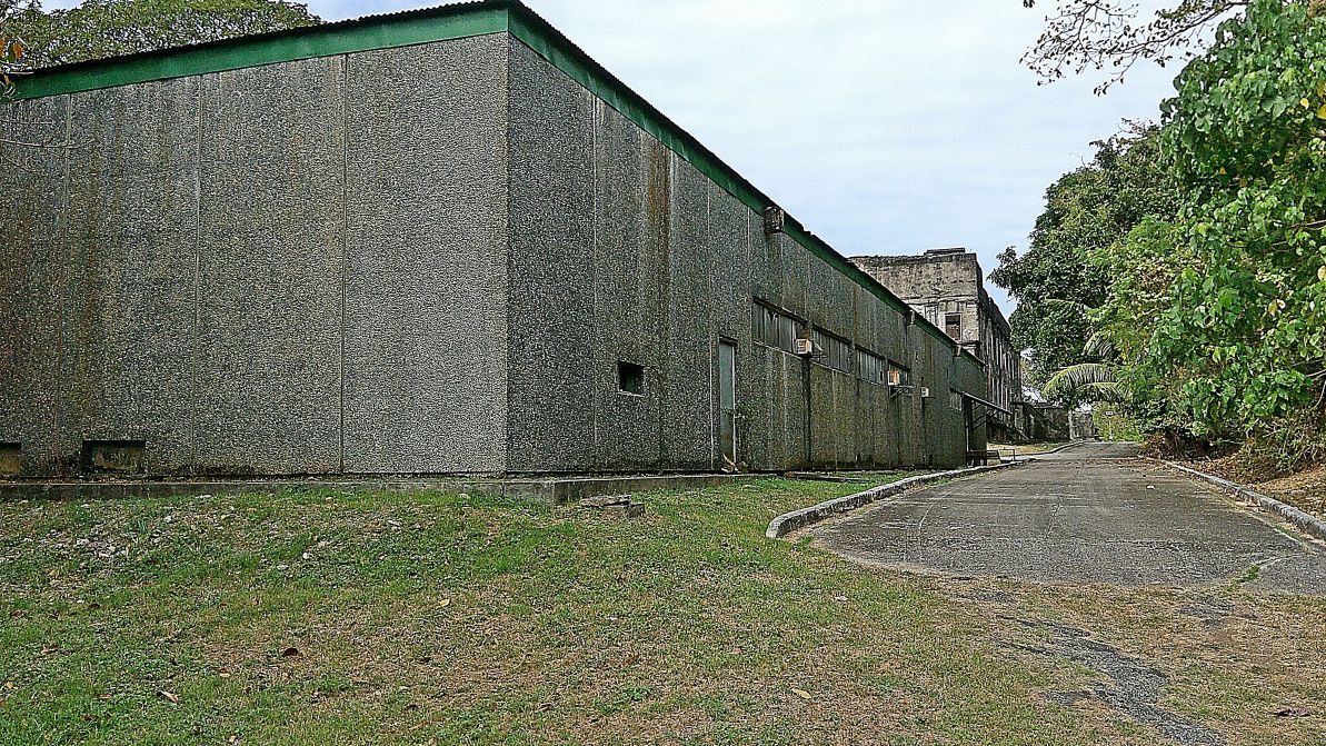 --------------------------------------- #020 is the Internal Flame Marker at the east end of the Pacific War Memorial. 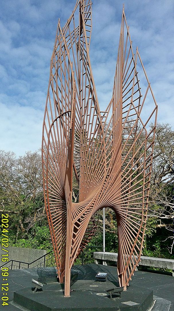 |
|
|
|
Post by Karl Welteke on Mar 18, 2024 14:59:59 GMT 8
Corregidor Visit, First Flag 79th Anniversary, 2nd Album 2nd Segment of images out of four from this album #2 ---------------------------------------- #021 image is a structure between the Cine and the so-called Mile Long Barracks, it is not on any of the prewar maps, so it must have been build after the war. I never saw it being used just a bunch of discarded gear seems to be in there. 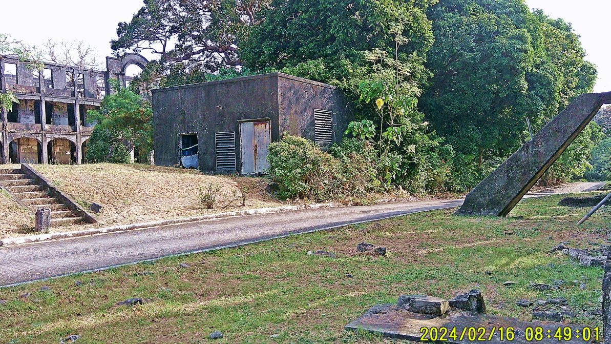 ------------------------------------- #022 image is a section of the Fort Mills map as it pertains to this second segment of about 20 images. It is marked to help you find the location of the picture subjects. 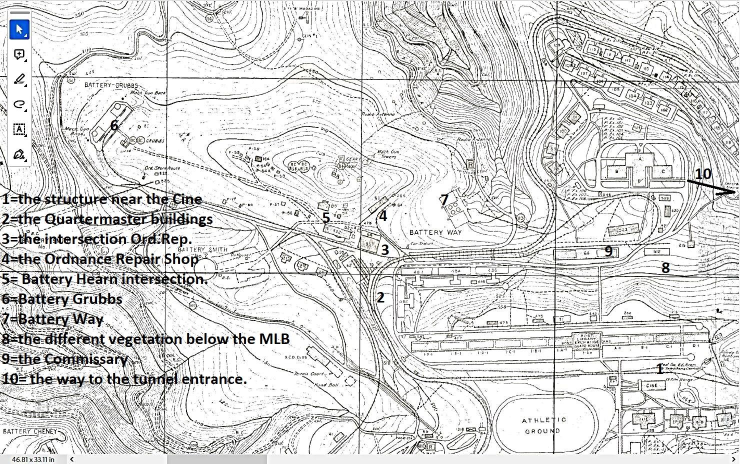 ----------------------------------------- #023 image show a set of steps from the road along the Senior Officer Quarters (SOQ) leading up to the Corregidor Lighthouse level where now are located several Manila Harbor control/radar towers or other communication towers. 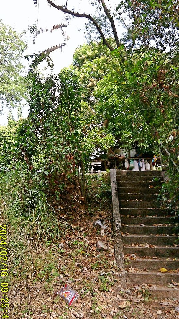 -------------------------------------- #024 to #026 images are of a short stretch of road that leads down to Middleside from the west end of the so-called Mile Long Barracks, more specific to a road intersection in front of the Ordnance Repair Shop. This short stretch of road passes the end of a row Fort Mills Quartermaster buildings 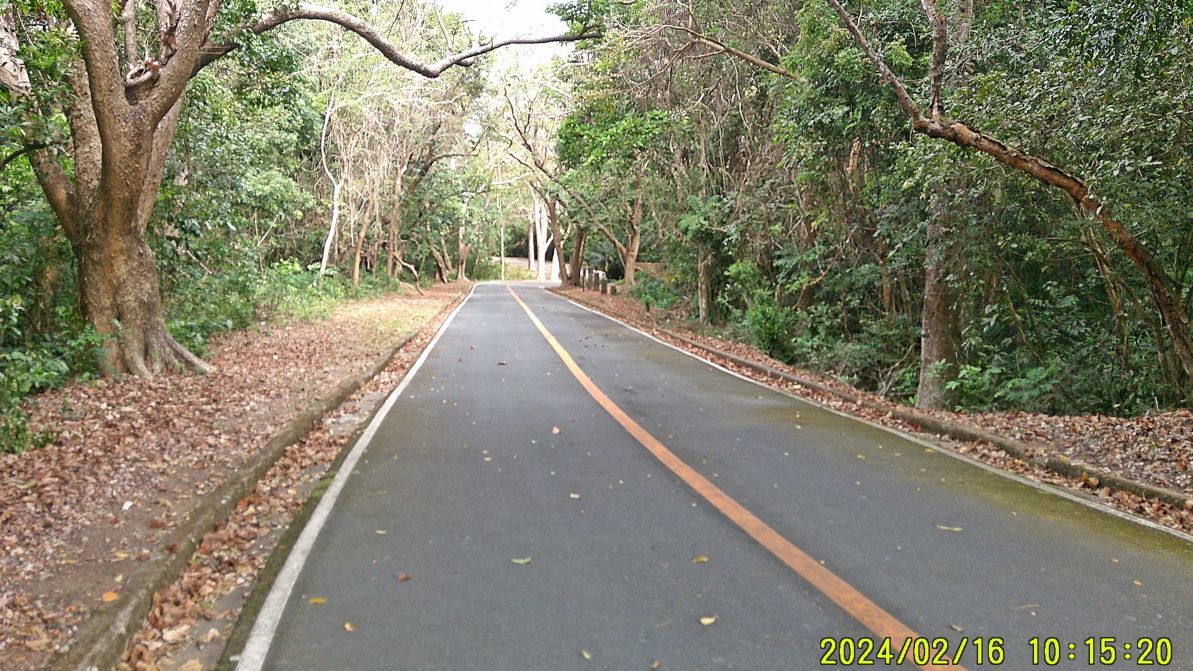 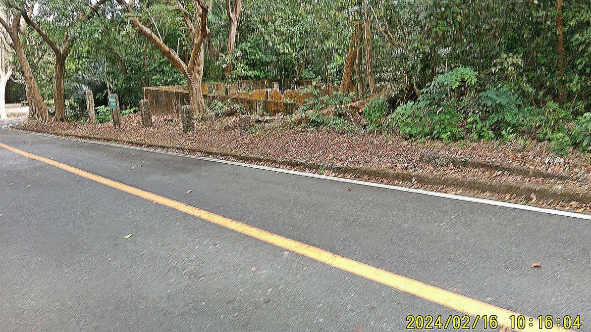 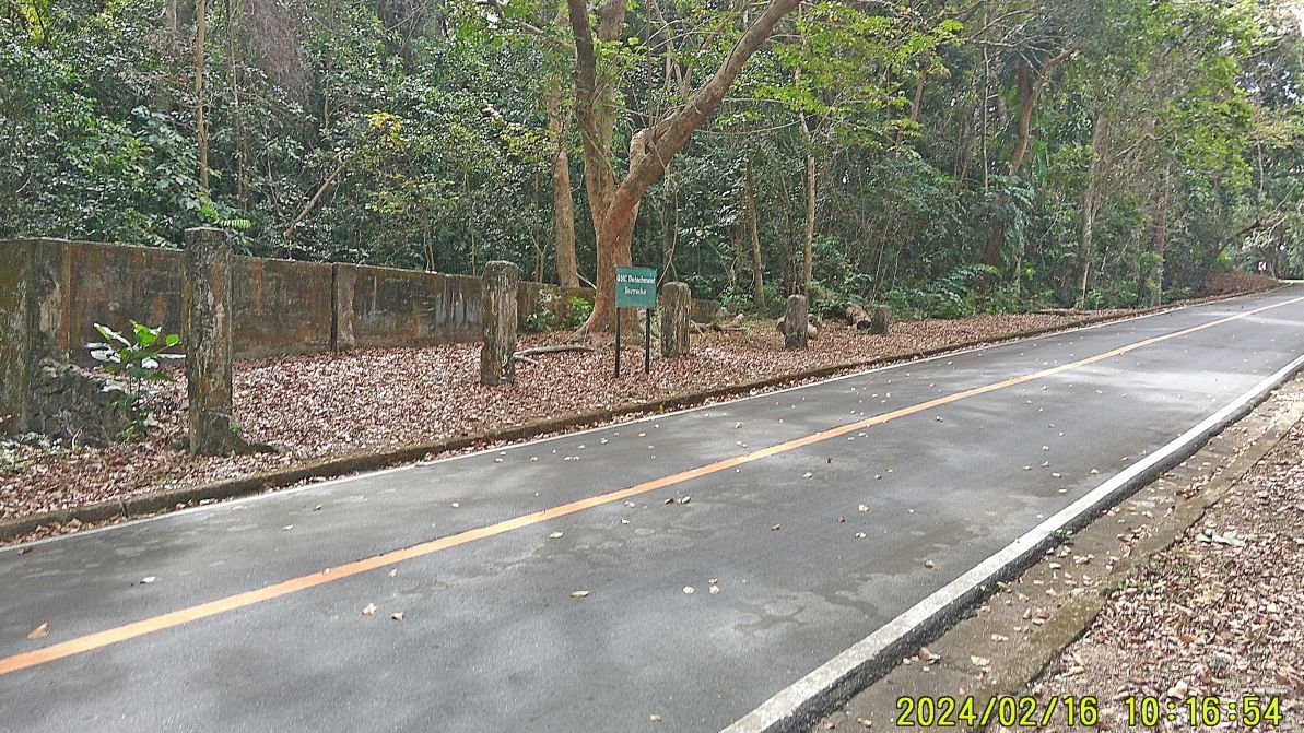 ------------------------------------------ #027 to #029 images are of the road intersection in front of the Ordnance Repair Shop. The Ordinance Shop has a bloody war story. A paratrooper officer looked into it and got killed on the spot. His comrades opened up and fired into it with everything they got and then went inside and killed any surviving enemy.   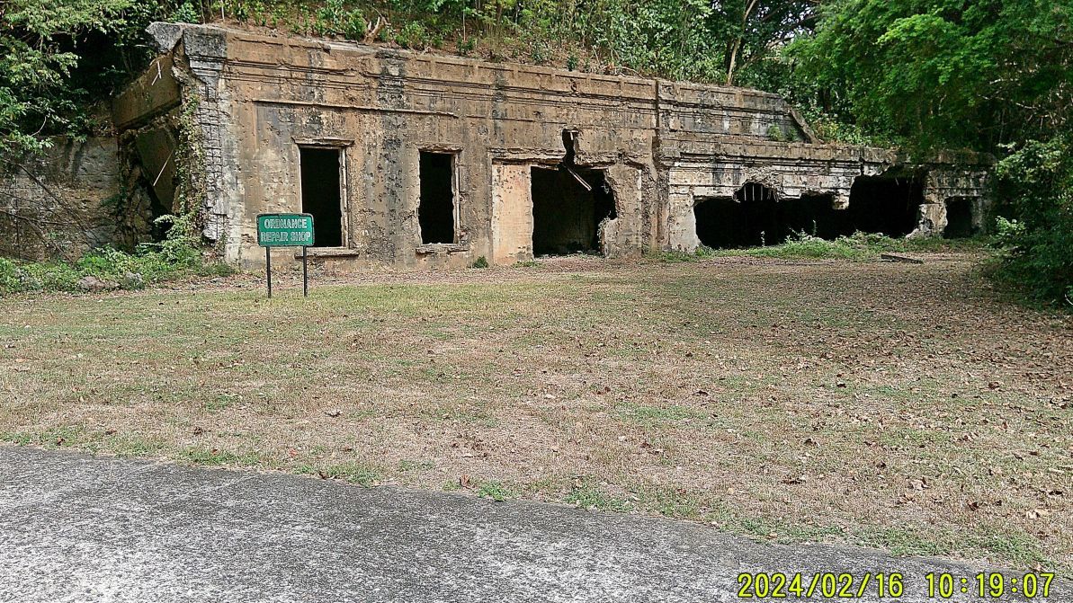 -------------------------- #030 to #032 are images of my continuing walk. #030 image shows the intersection to Battery Hearn and Battery Grubbs. Image #031 is a close up of the last image but shows clearly that Pvt. Carter earned his Medal of Honor at or near this spot fighting like heck, defending the Battery Hearn position. Image #32 shows Battery Hearn and the empty spot where the spare battery barrel was taken away from this Pacific War Memorial Zone for a tourist purpose. 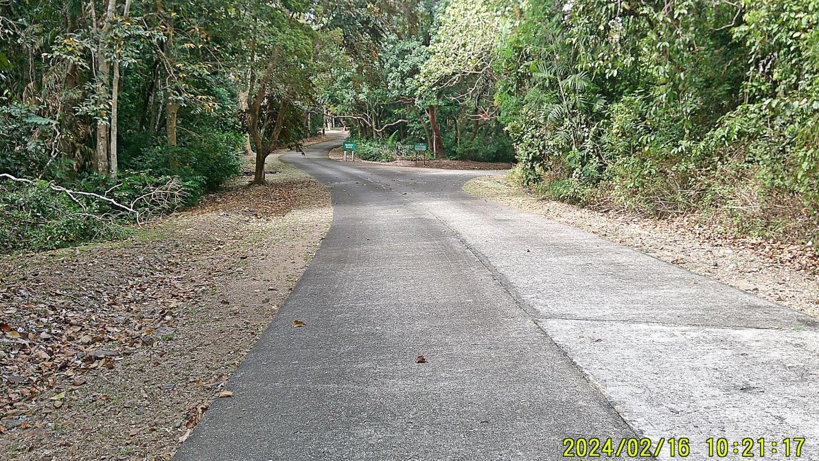 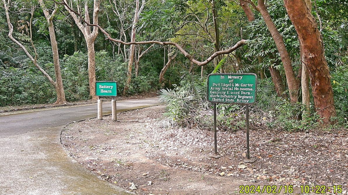 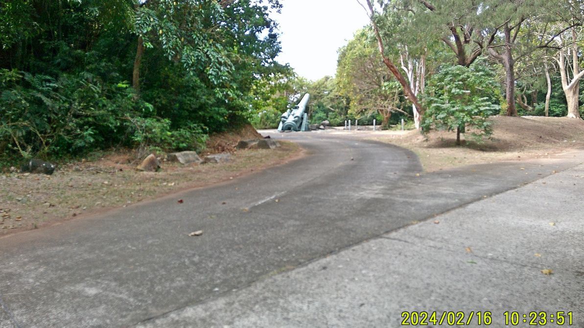 ------------------------------------------ #033 to #035 images are or of my continuing walk, I pass the road to Battery Smith but the road is grown over, image #33. At Battery Grubbs I shot this picture of a bomb or artillery round penetrated the concrete ceiling, image #034. On my way back I met a group of Corregidor day visitors at Battery Way, it was a retired Naval Officer and family. 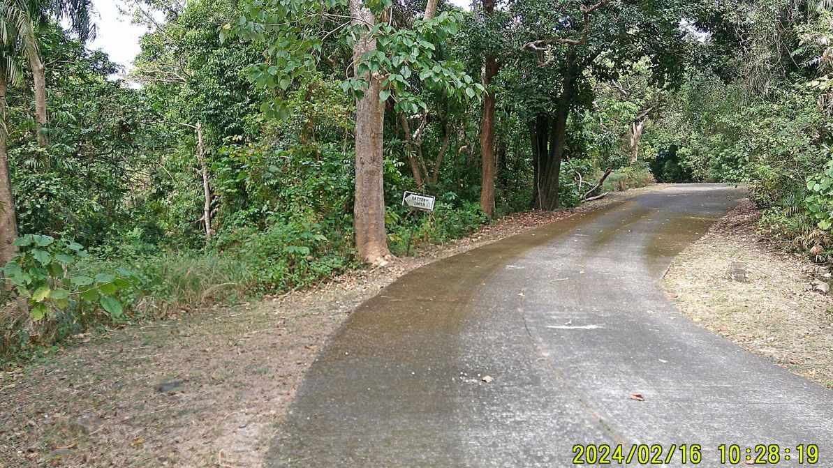 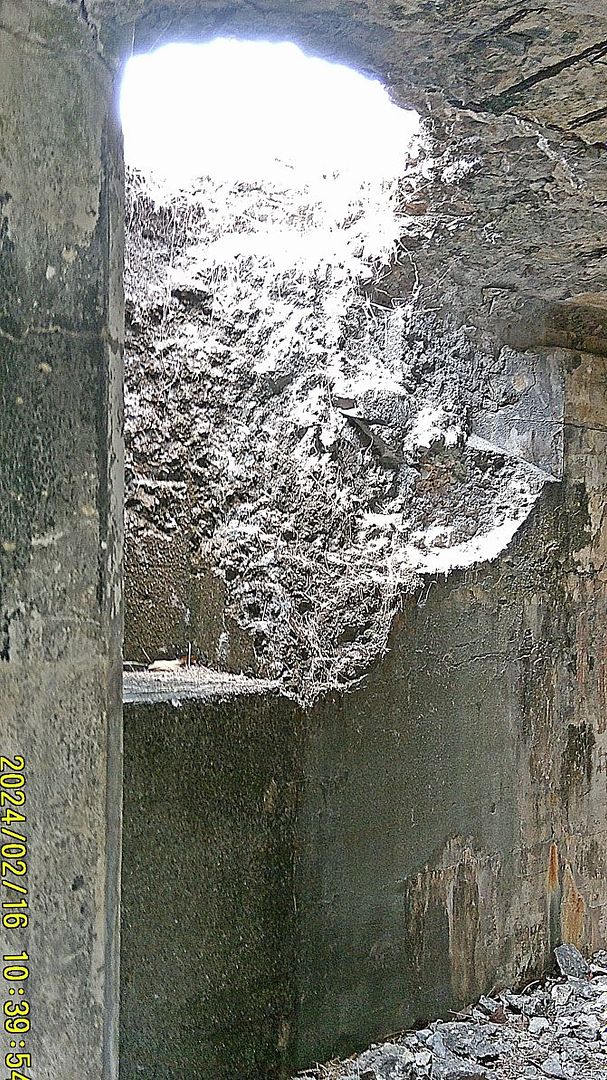 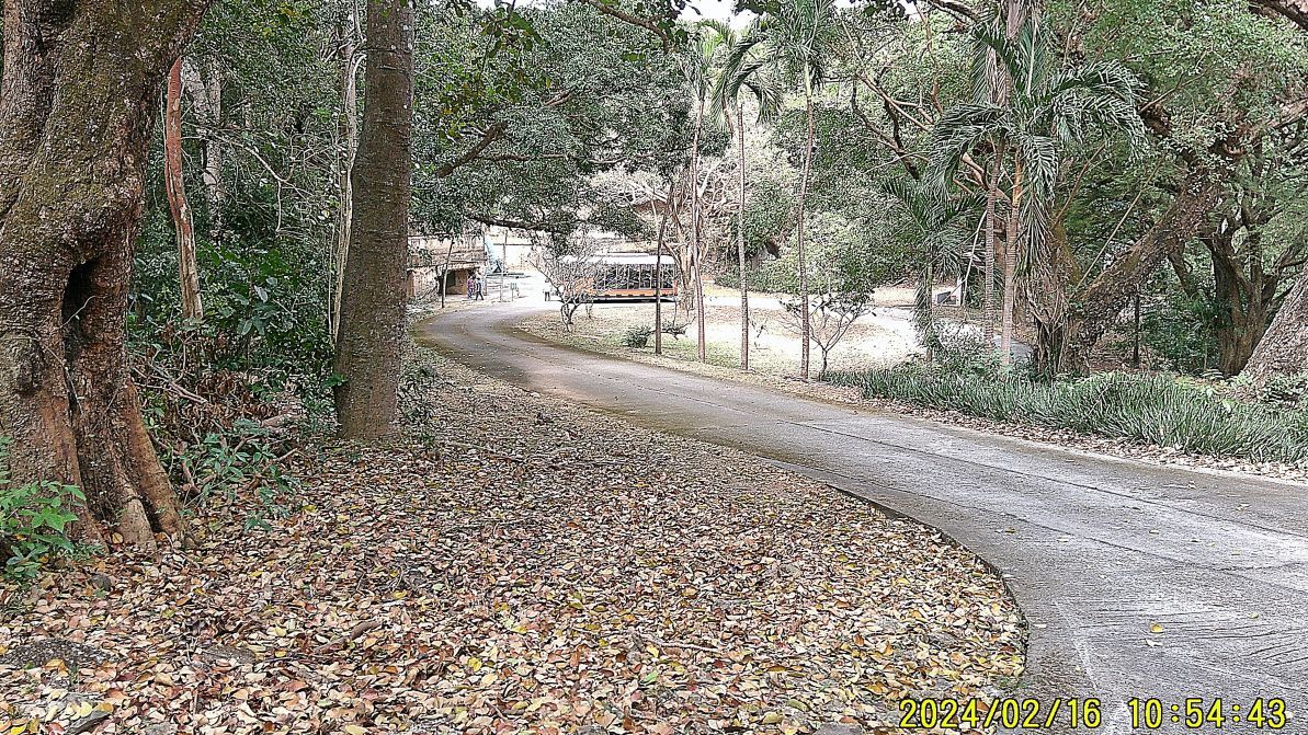 ------------------------------------------- #036 to #039 images take me to the road from the Fort Mills Hospital to the Fort Mills Commissary. Image #036 shows a stretch of woods down from the east end of the Mile Long Barracks, and I’m still trying to figure out why the vegetation here looks so different then everywhere else. Images #037 and #039 are of the Fort Mills Commissary. 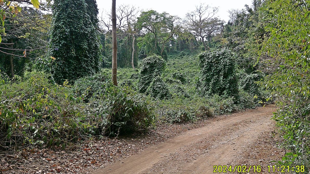 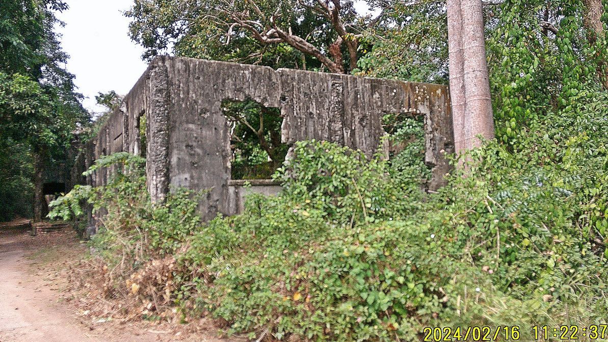 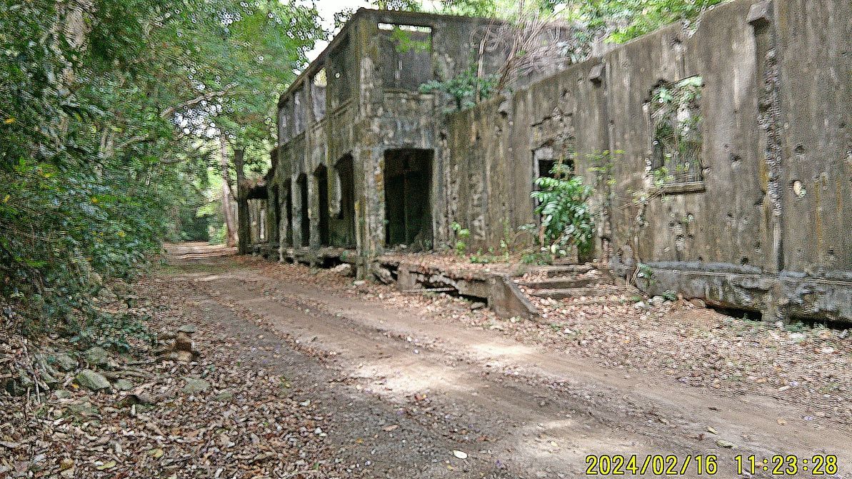 ------------------------------------------------ #040 and #041 are images of the entrance to the big parallel tunnel which runs from Middleside to near the so-called Mile Long Barracks. 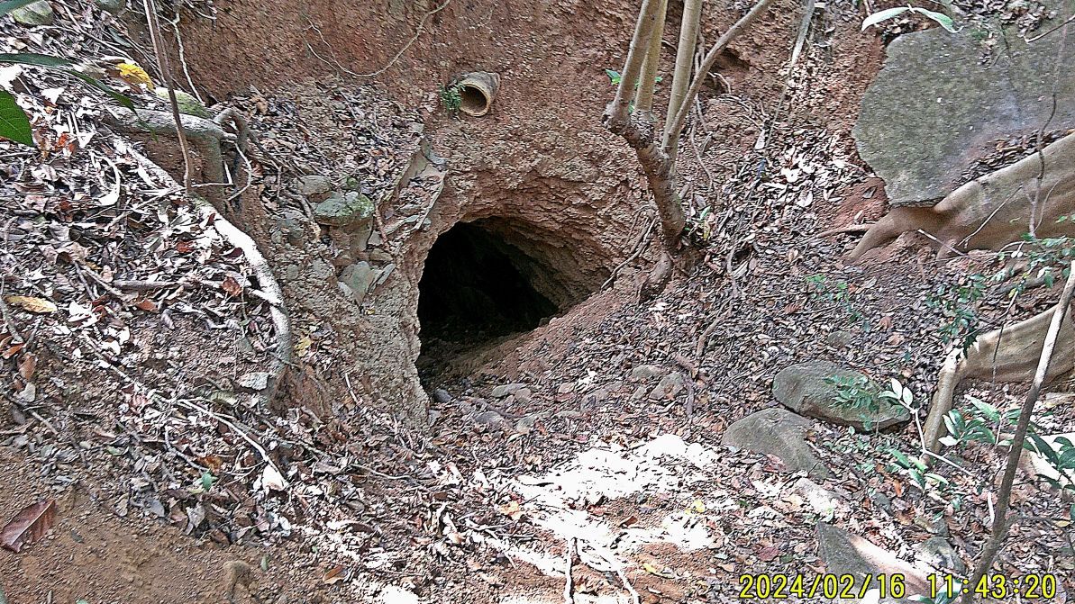 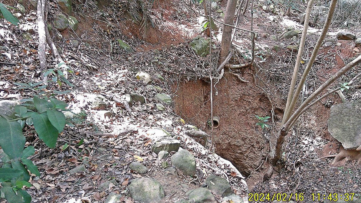 |
|
|
|
Post by Karl Welteke on Apr 1, 2024 15:15:26 GMT 8
Corregidor Visit, First Flag 79th Anniversary, 2nd Album 3rd Segment of images out of four from this album #2 ------------------------ 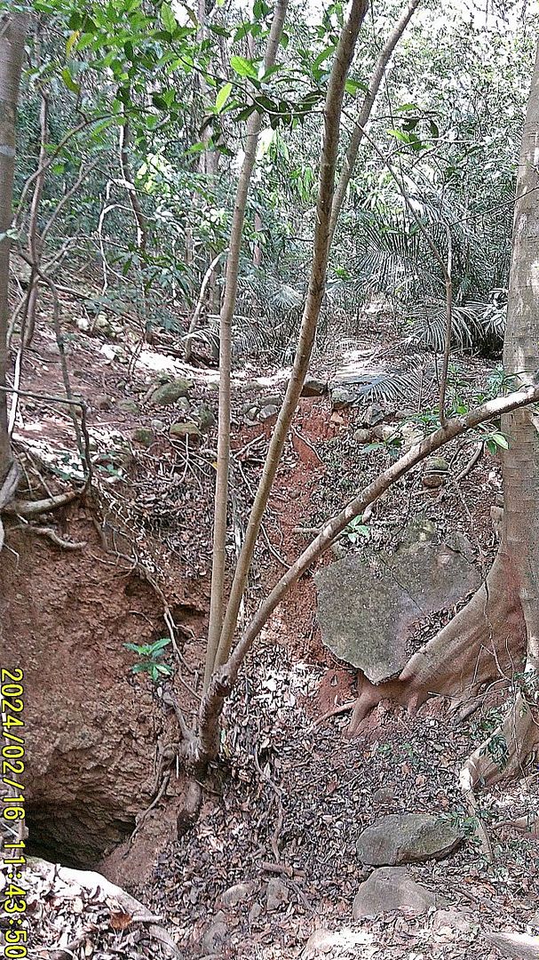 #040 and #041 and #042 are images of the entrance to the big parallel tunnel which runs from Middleside to near the so-called Mile Long Barracks. --------------------------------------------- 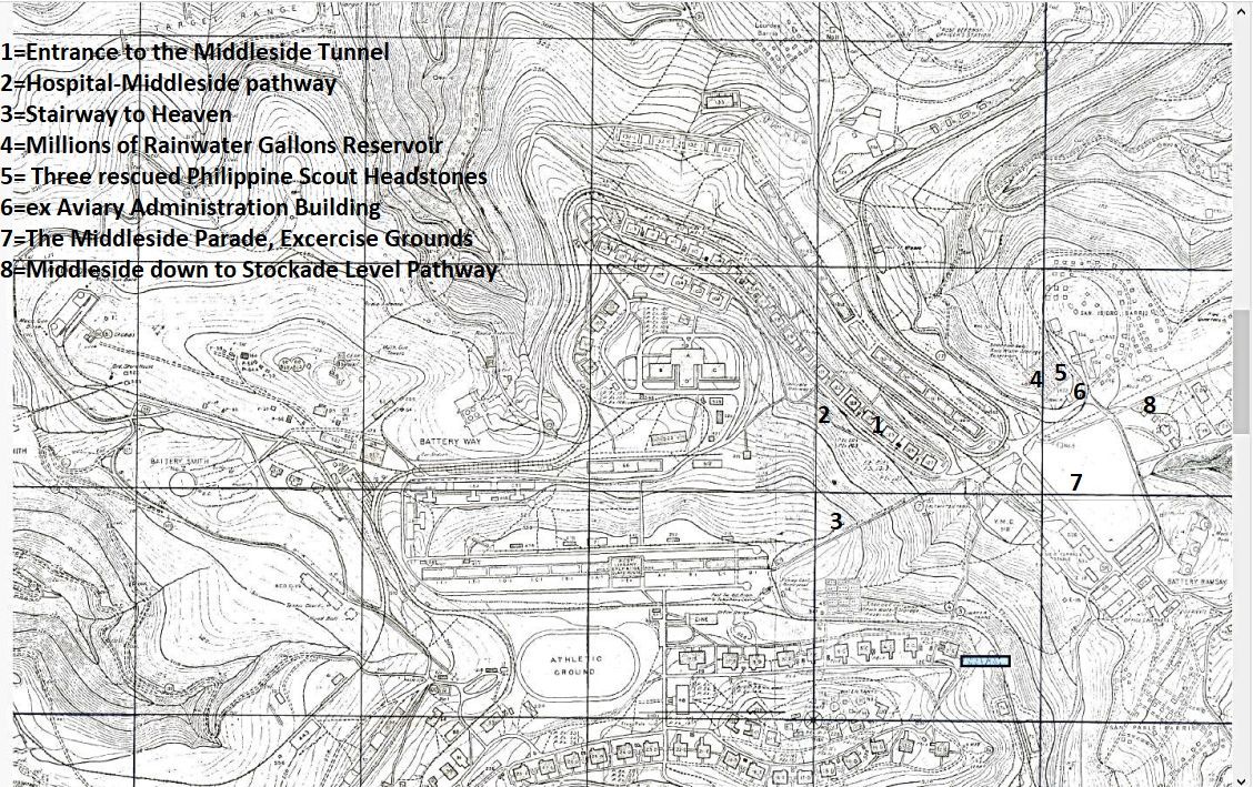 #042a image is a section of the Fort Mills map as it pertains to this third segment of about 20 images. It is marked to help you find the location of the picture subjects. ------------------------------------------------------------- #043 to 046 are images of the walk ways, paths from the Hospital down to Middleside and from Topside down to the Middleside (called the Stairway to Heaven), all 4 images were shot near the intersection of these two walkways, short before they end at Middleside. NOTE: they were perfectly cleared and clean! 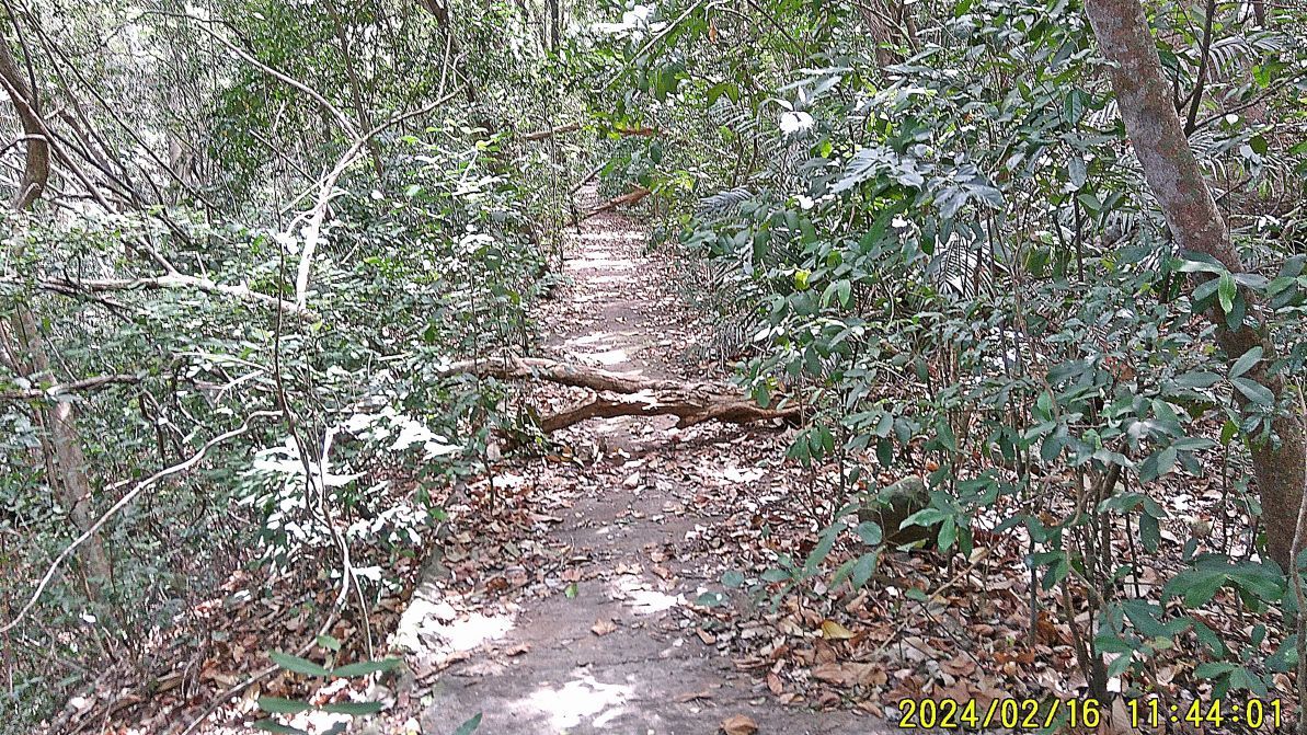 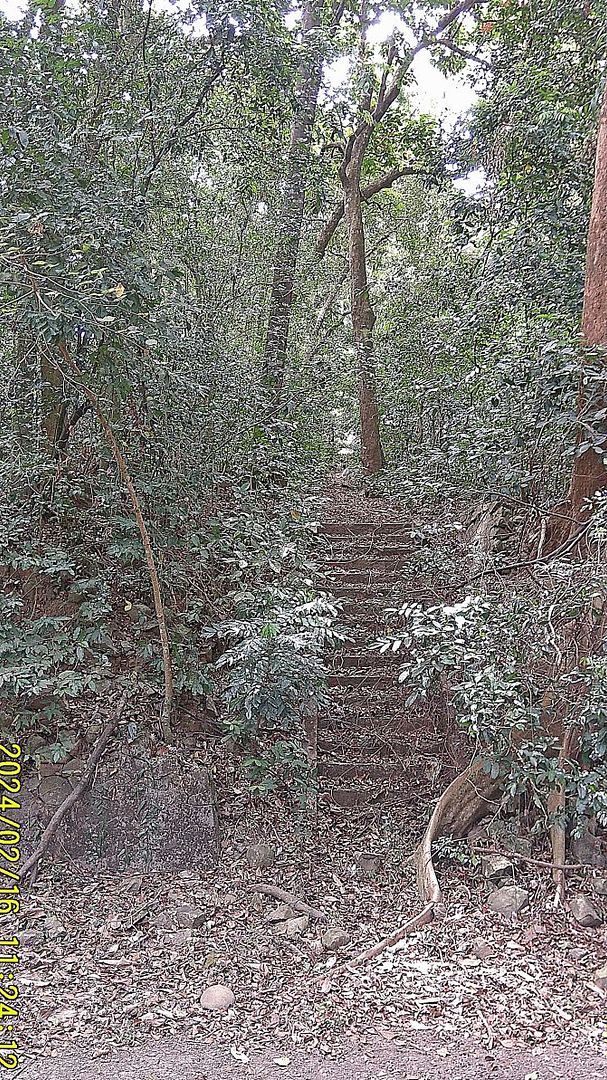 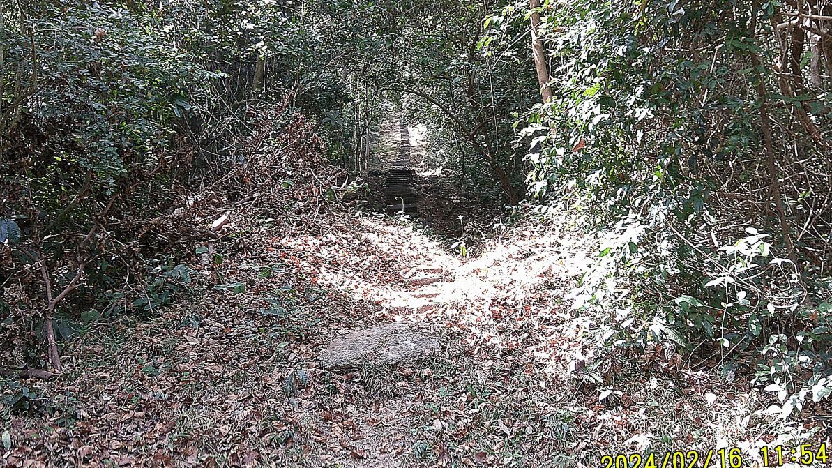 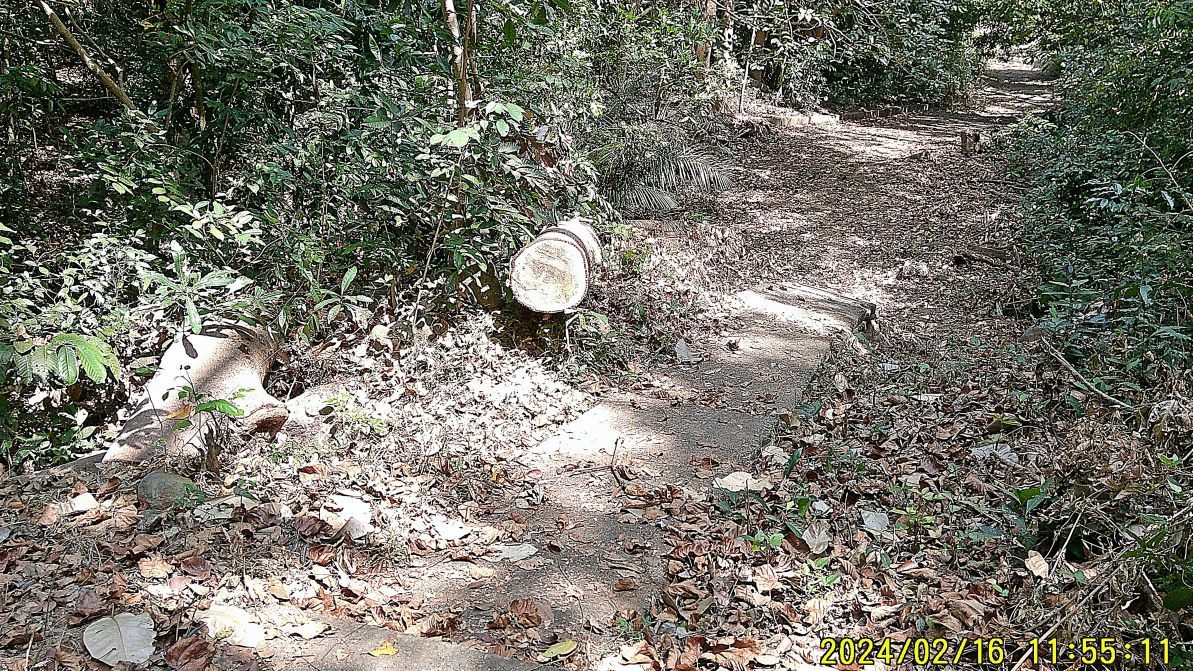 ------------------------------------------------------ #047 to #051 are pictures as I approach the Fort Mills millions of rain water reservoir (1 of 2 at the ex fort) at Middleside at the site of the former post war Aviary.  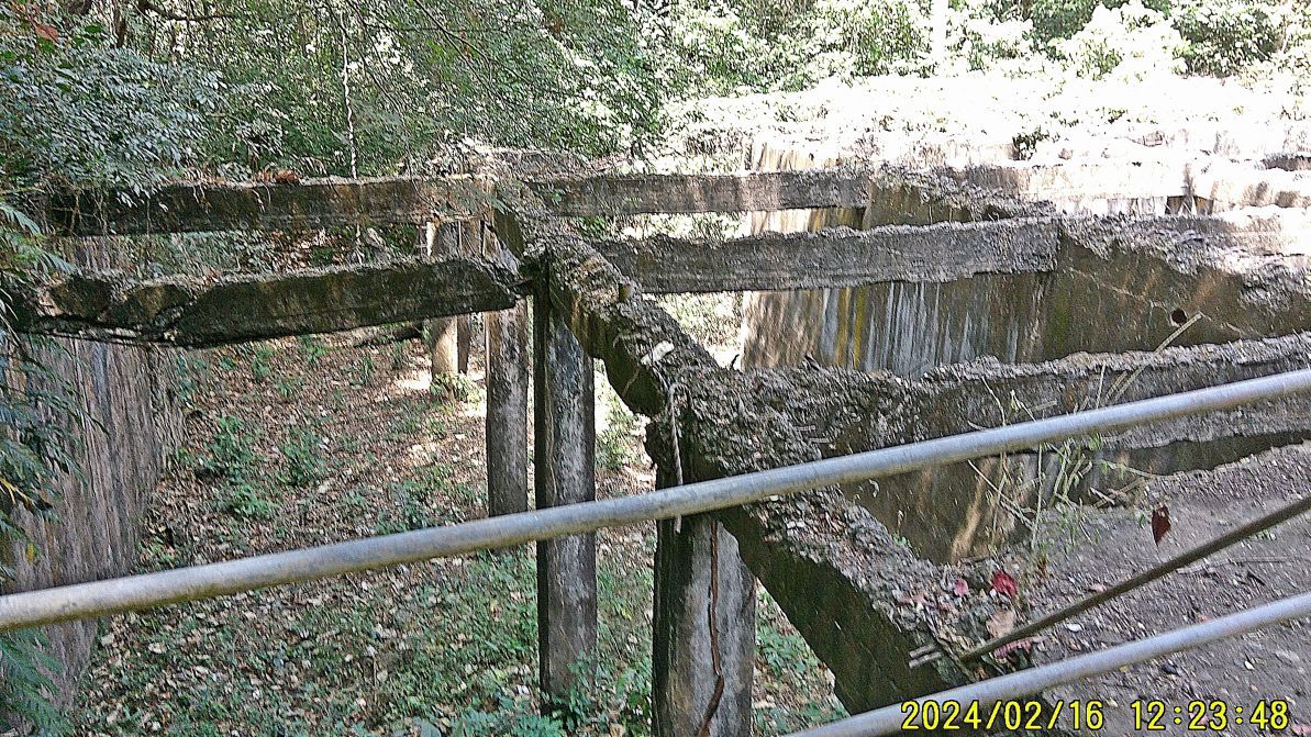 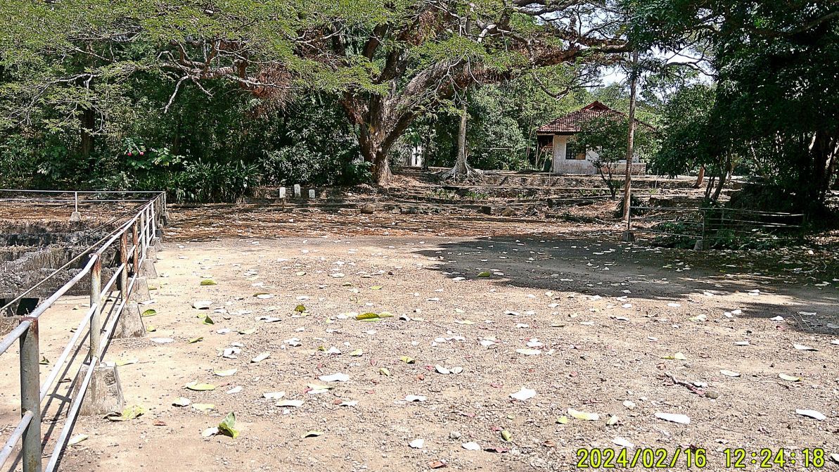 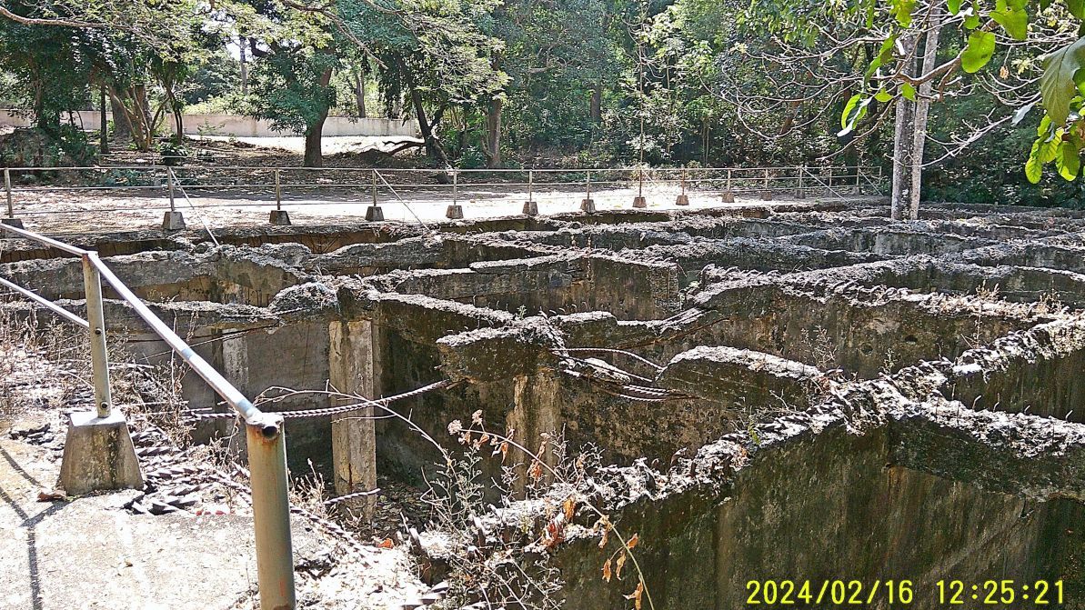 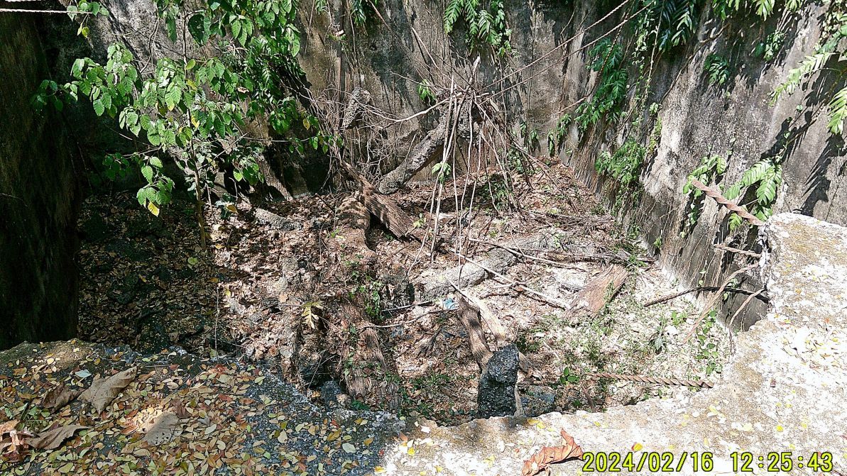 --------------------------------------------------------- #052 to #054 images are of three Philippine Scout Soldiers (US Army) grave head stones that were rescued from the Fort Mills post war cemetery by a resident US Retired Marine Officer; other headstones had disappeared and these were the last three, took in his care and have ended up at Middleside, near the former Aviary Admin Building, now in the CFI care. I wished something honorable could be done with these three stone in honor of the Philippine Scouts who served so gallantry for and in the Philippines. 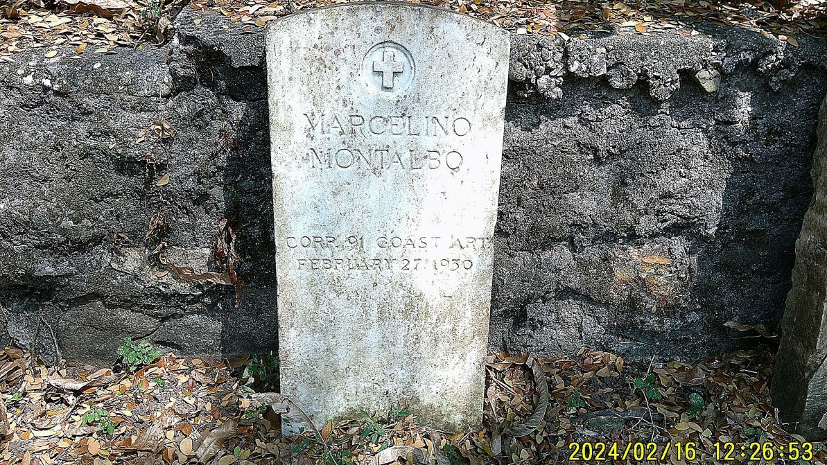  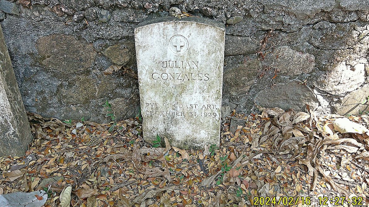 ------------------------------------------- 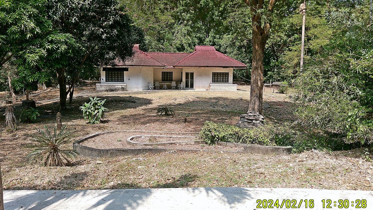 #055 is the former post war aviary Administration building at Middleside on Corregidor which is now used sometime for VIP Quarters. --------------------------------------------------- 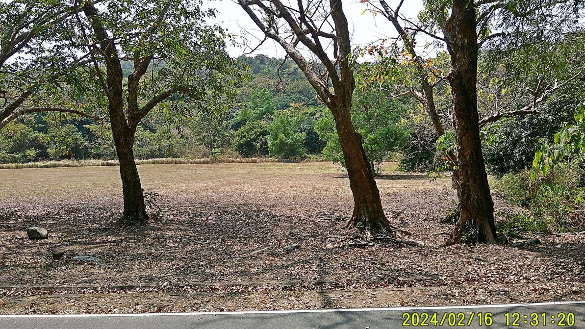 #056 image is the Fort Mills parade, horse exercise field at Middleside, notice the well groomed grass surface. ------------------------------------------------------- #057 to #060 images are of the shortcut walkway from Middleside to the Corregidor main road near the former Stockade level. #57-the start of the walkway, #58-the branch off walkway, going passed the Stockade level to Bottomside, #60 the continuation of the walkway passed the Stockade level. Note the pathways, walkways are completely cleared and cleaned. 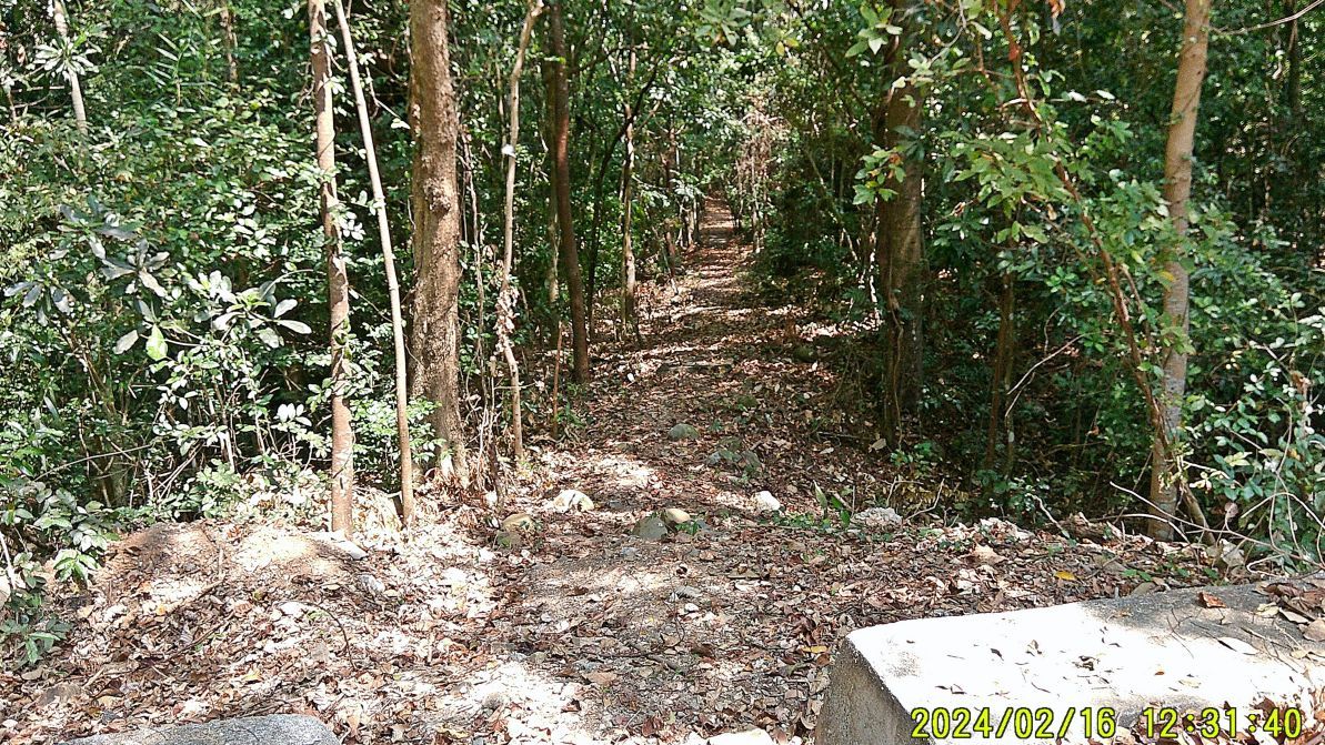 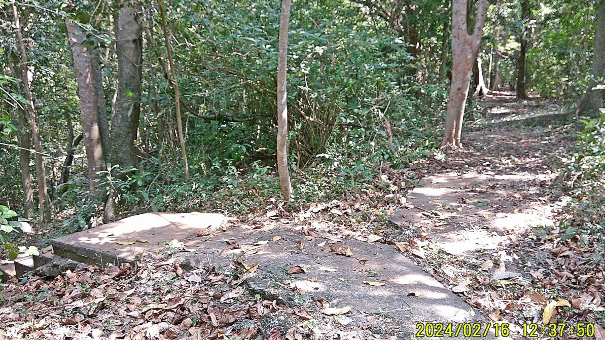 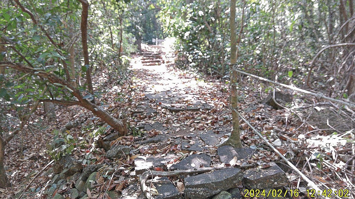 |
|
|
|
Post by Karl Welteke on Apr 2, 2024 10:03:51 GMT 8
Corregidor Visit, First Flag 79th Anniversary, 2nd Album 4th and last Segment of images out of four from this album #2 --------------------------- #061 to #067 images are of the post war Corregidor Elementary School area. In the beginning of the Corregidor Foundation Inc management of Corregidor as the Pacific War Memorial it had a big staff with dependants and a school was needed. The survivors of the United States Marines Fourth Regiment supported this school, so this fact makes this area special to me. The retired USMC Officer resided here for a while and I had the pleasure of meeting him here. The Fourth Marines also supported the first High School in Mariveles! Here is also another plaque dedicated to a retired Air Force Sergeant who often came here and donated school supplies and other presents to the children of Corregidor. Picture #67 is the east end of the school, the picture is not clear, but one can see the wall of the Spanish Fort. 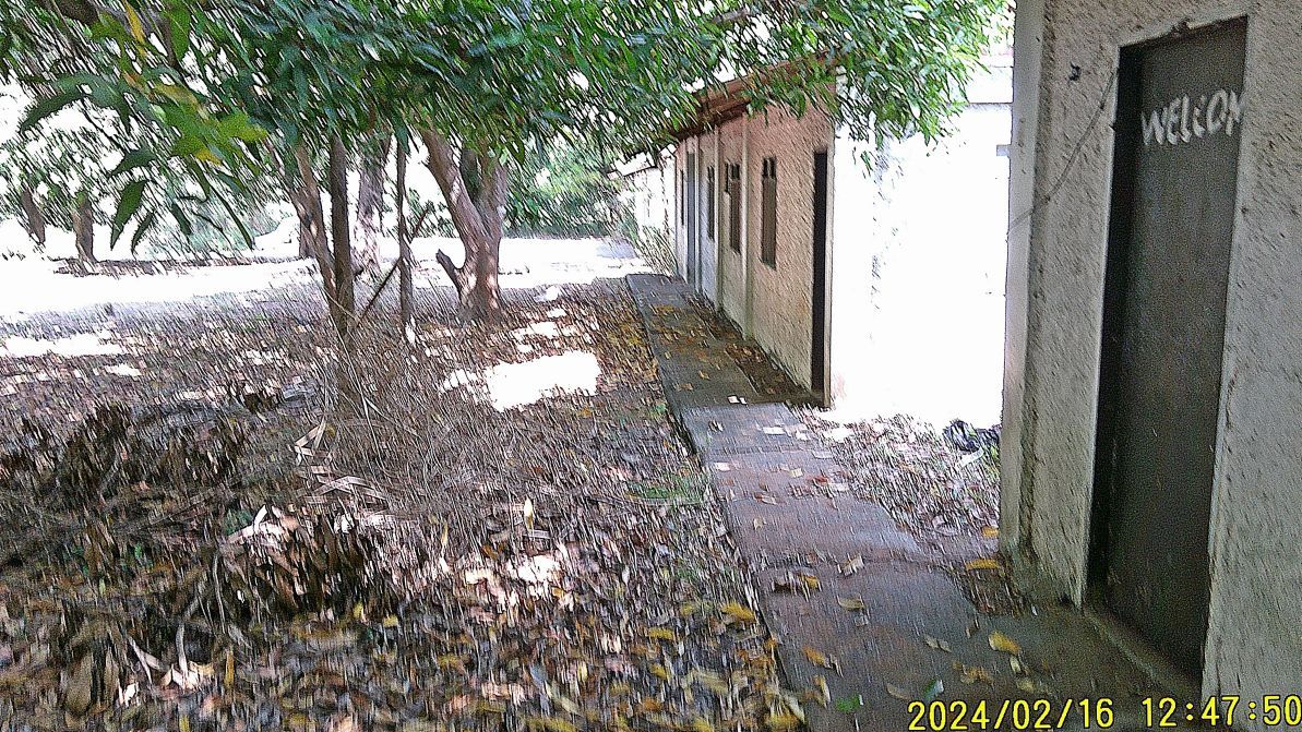 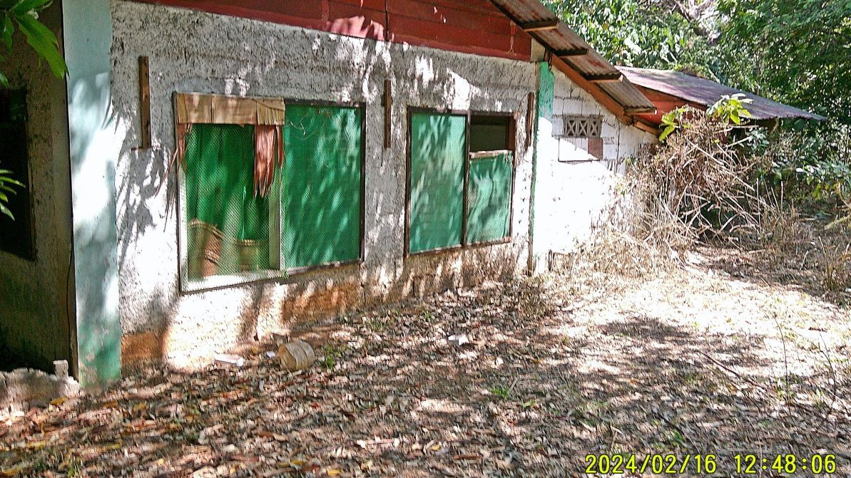 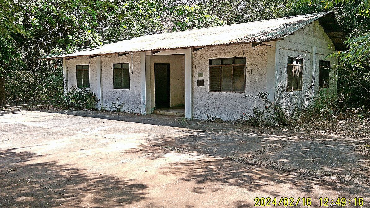 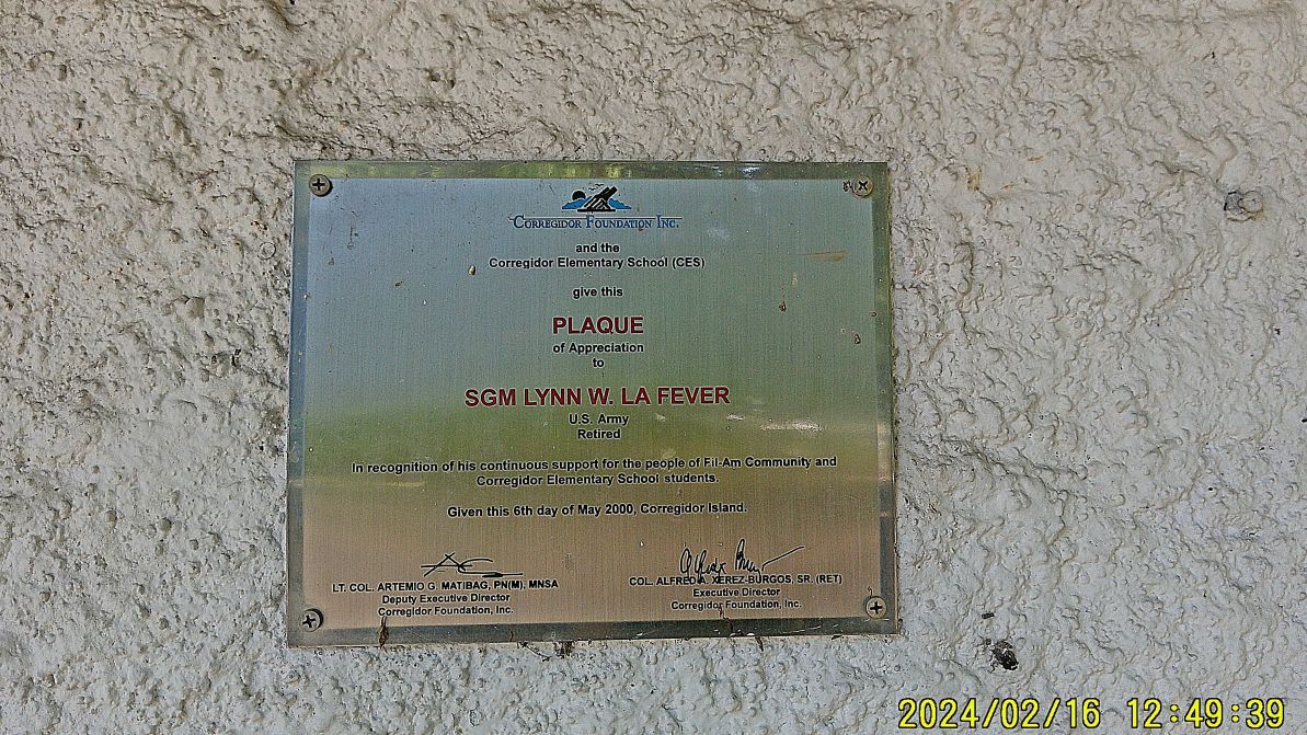 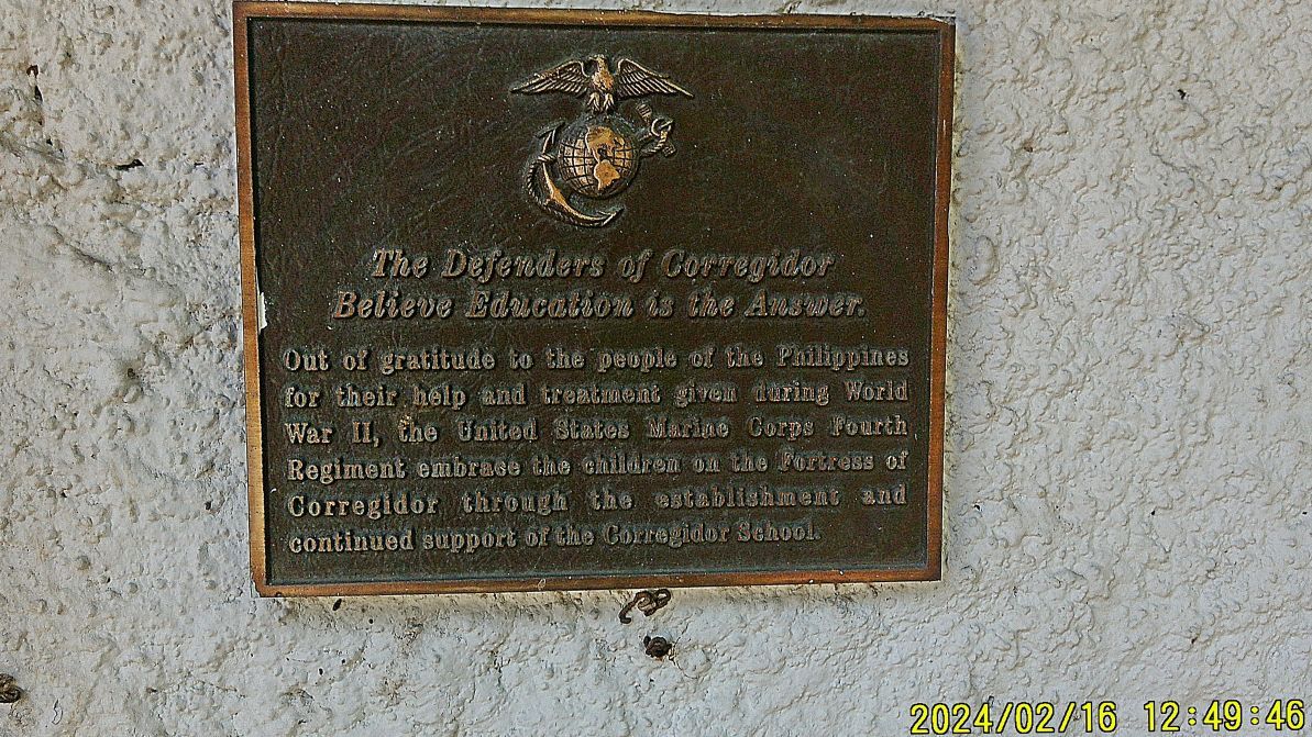 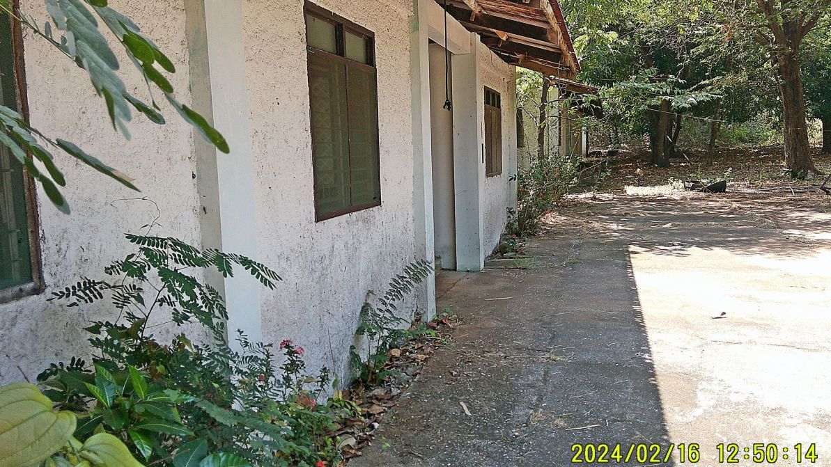 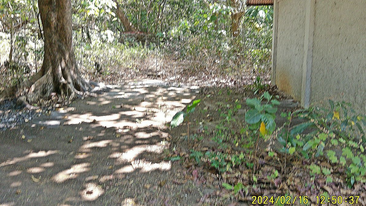 ---------------------------------------- 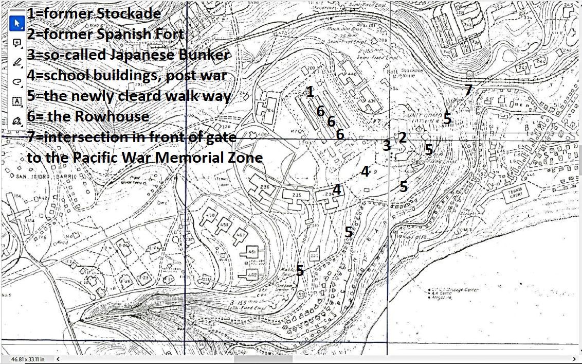 #062a image is a section of the Fort Mills map as it pertains to this fourth and last segment of about 20 images. It is marked to help you find the location of the picture subjects. ------------------------ 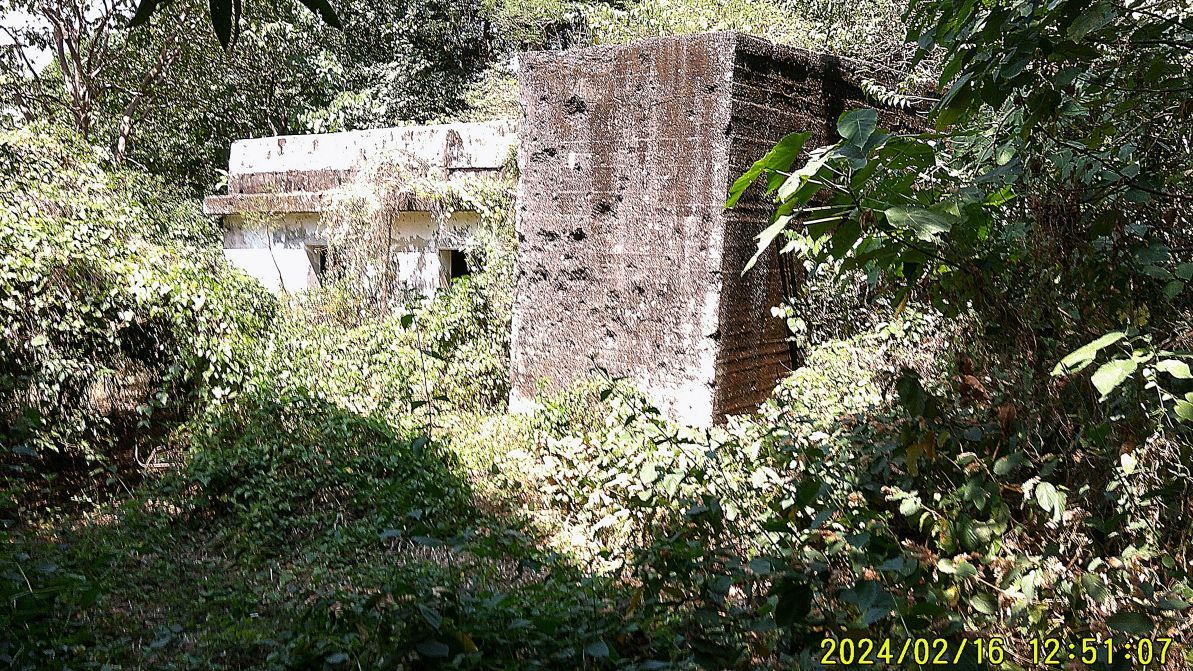 #068 image is of a concrete structure that stands very near to the present school building but is located at the west perimeter of the Spanish Fort. Some people say this is the only structure the Japanese occupiers built. But we really don’t know what the history is. --------------------------------- #069 to #071 images are still of the area of the postwar Corregidor School, the so-called Japanese Bunker, the Spanish Fort, was site of the CFI Rowhouse and the CFI Staff Quarters. Before the war, in Fort Mills, this was the Stockade Level with many Philippine Commonwealth prisoners who helped keep the fort in an outstanding condition. I served 30+ years in the Military and learned to rough it. I VERY MUCH appreciated the Rowhouse at this location; I have visited Corregidor over 60 times and appreciated staying at the Rowhouse for 500 pesos a night. CFI condemned the Rowhouse but I believe without much expense this service could be made available again. #069 picture shows the Rowhouse, #070 shows the bunker with the Spanish Fort behind it and #071 picture is a Rowhouse room, a fan was provided and a comfort room is attached to each room. 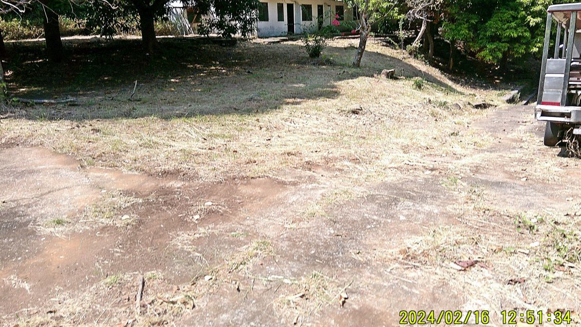 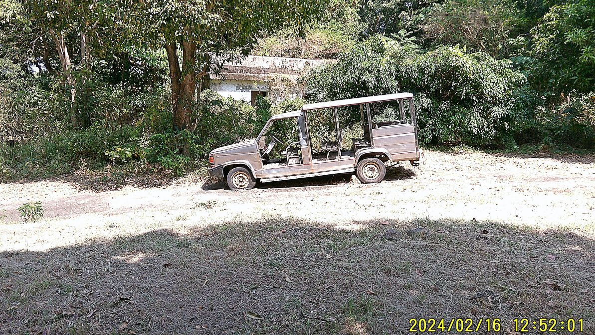 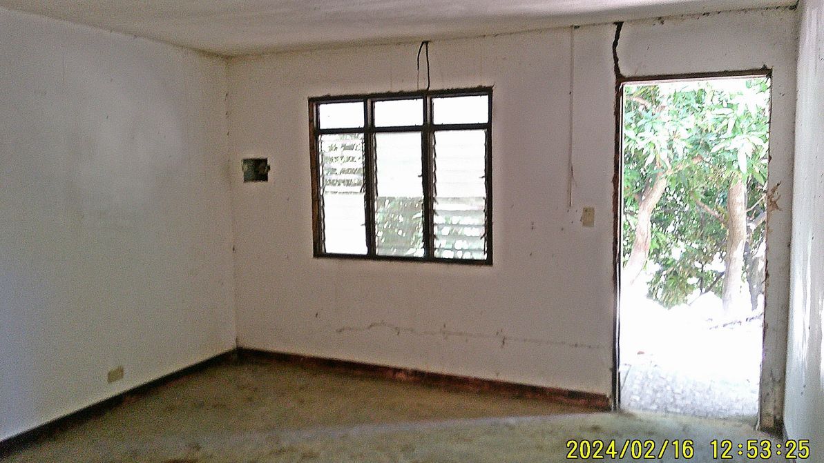 --------------------------------- #072 to 075 pictures a continuation of pictures of the shortcut pathway from the stockade level to the entrance to the Pacific War Memorial Zone, The path goes by the south side of the Spanish Fort and #072 picture shows an intact section of the wall! #075 image shows the road intersection near the entrance to the Pacific War Memorial Zone (at left off the picture). 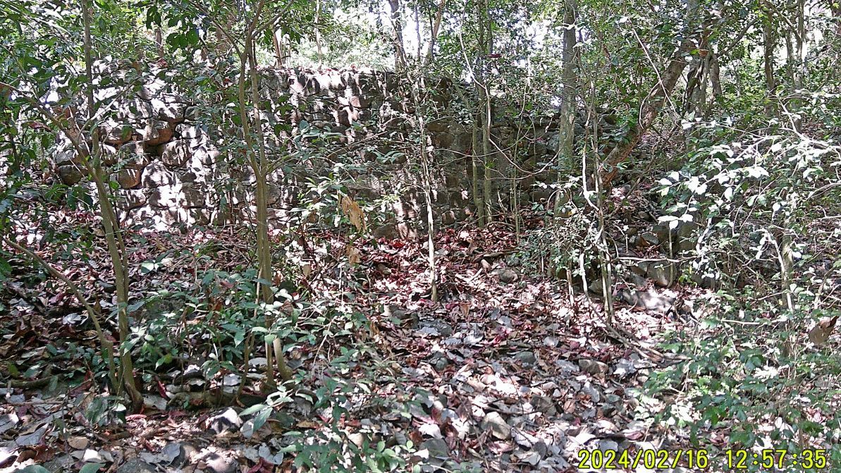 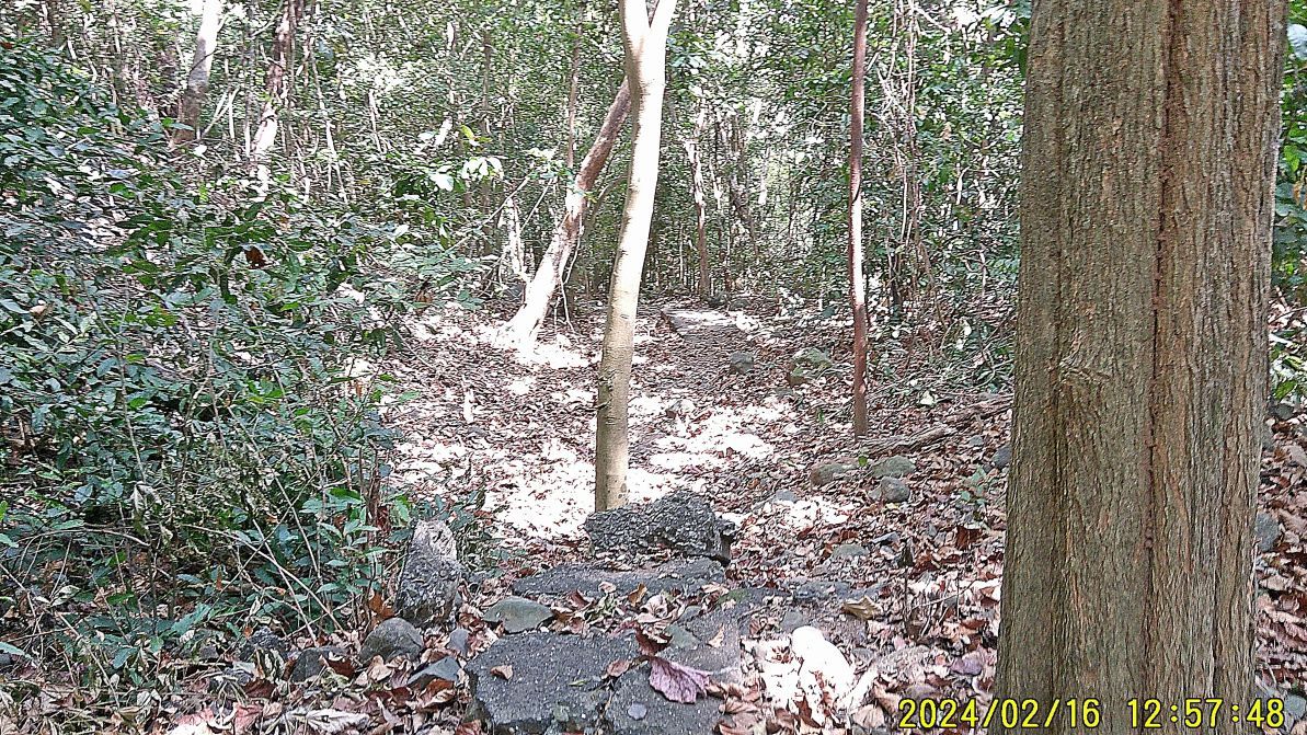 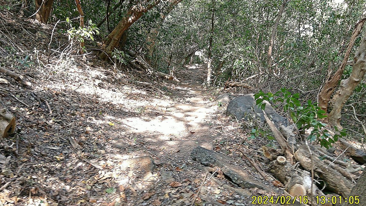 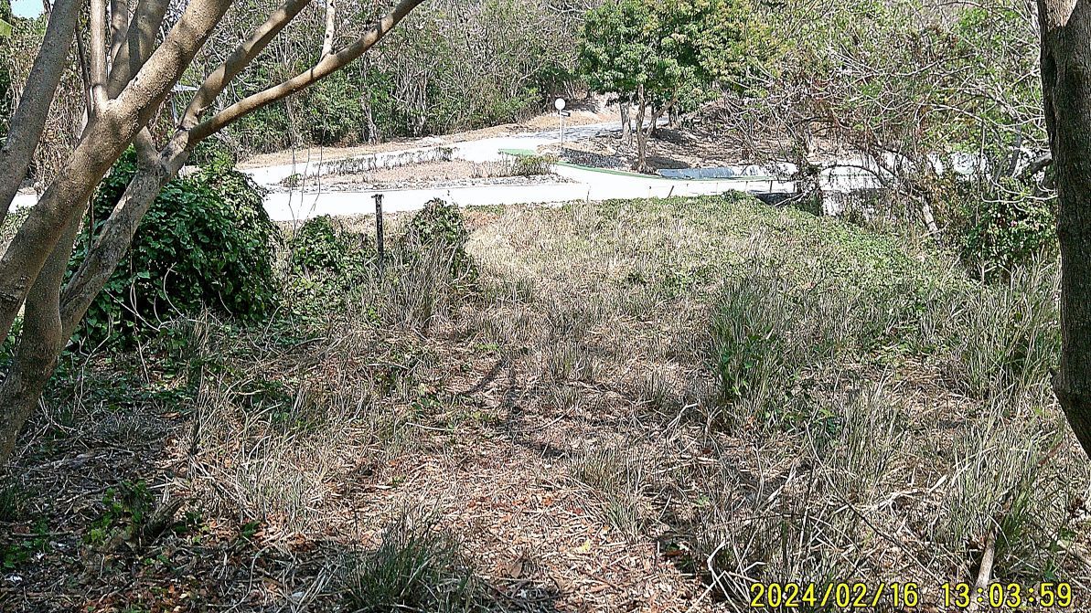 -------------------------------------  #076 is an impressive view of Manila Bay, with Caballo Island (ex Fort Hughes) in view, which still has in place its 2 batteries of 14 Inch guns and 2 batteries of 12 Inch mortars. The Philippine Navy has custody of that island. ----------------------------------- #077 to #080 images are of the very east end of the so-called Mile Long Barracks. The pictures are not very clear but I try to show the east end of the barracks is invaded by vegetation and most likely will cause harm to these WWII ruins. 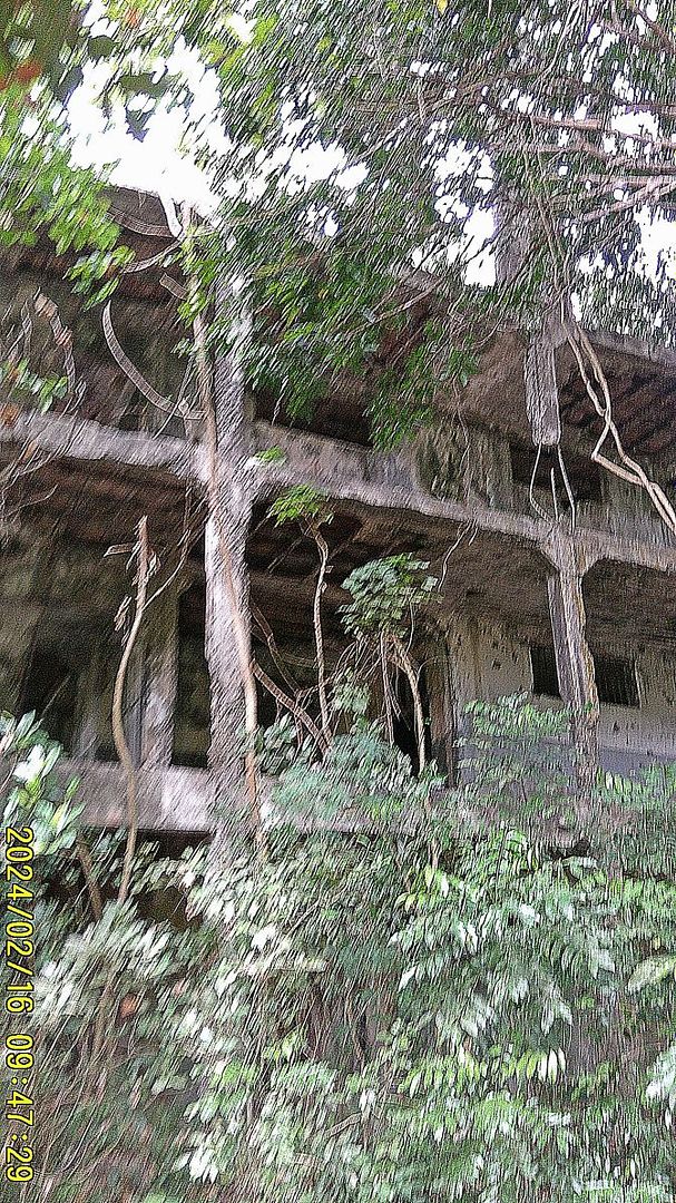 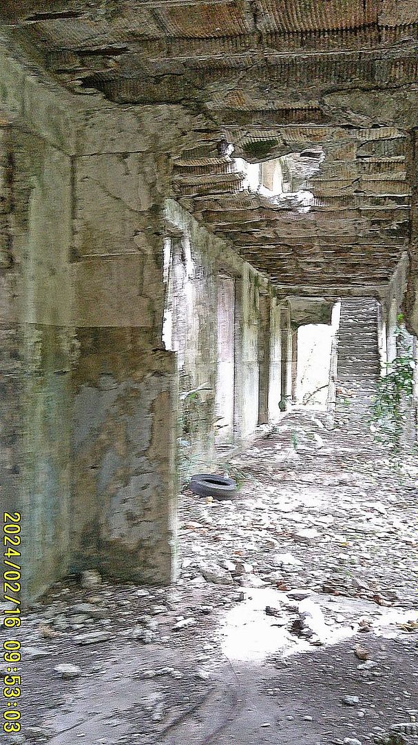 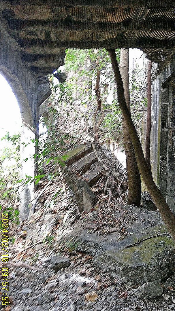 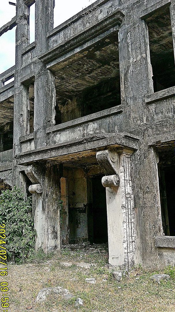 ----------------------------- This is my last presentation of our 14th to the 17th Feb 2024 visit to the former Fort Mills, now the Pacific War Memorial on Corregidor Island, |
|