Here is the latest batch of Corregidor “Miscellaneous” photos.
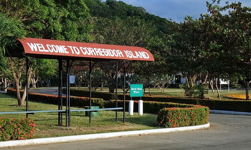
A late afternoon view taken from the North Dock looking inland. After the ferry carrying day tour passengers departs, the island is usually very quiet again.
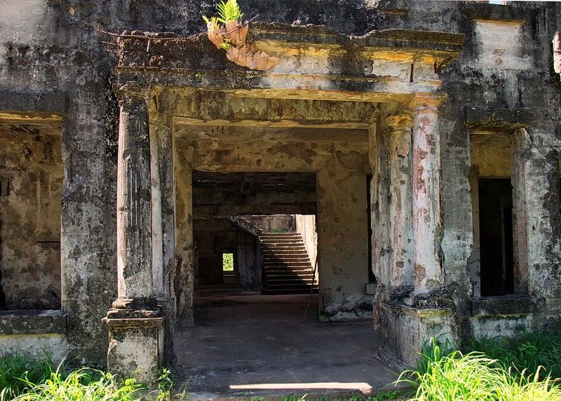
The main entrance of the Fort Mills Hospital. It was built in 1913.
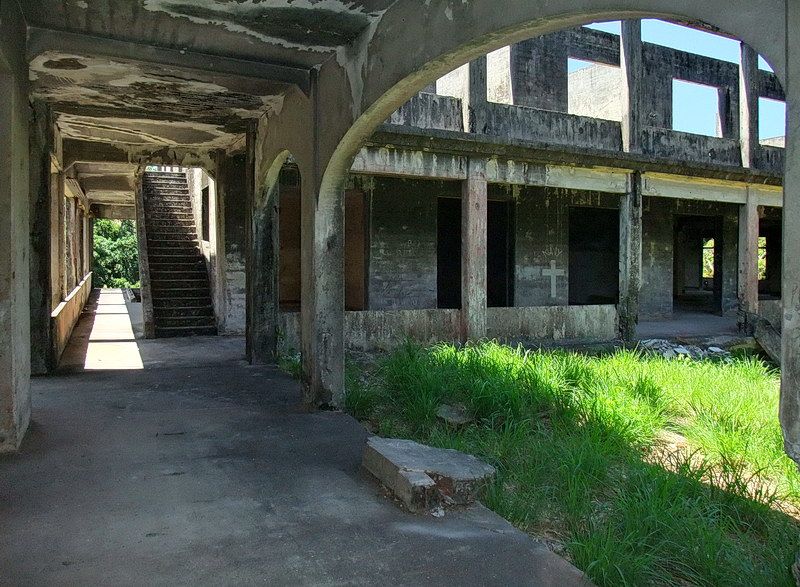
Walking toward the western wing of the Hospital.
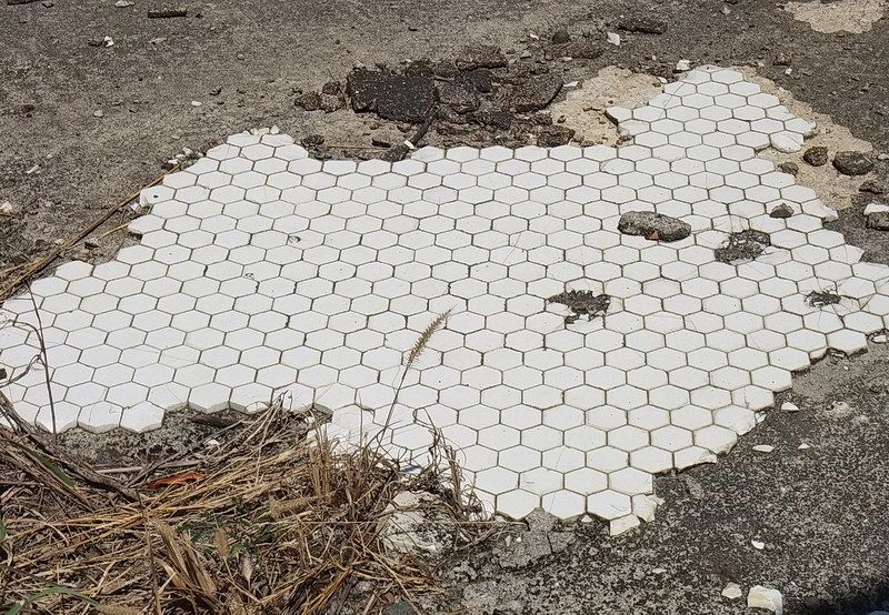
Tiled floor of an operating room.
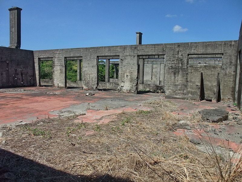
One of the Wards.
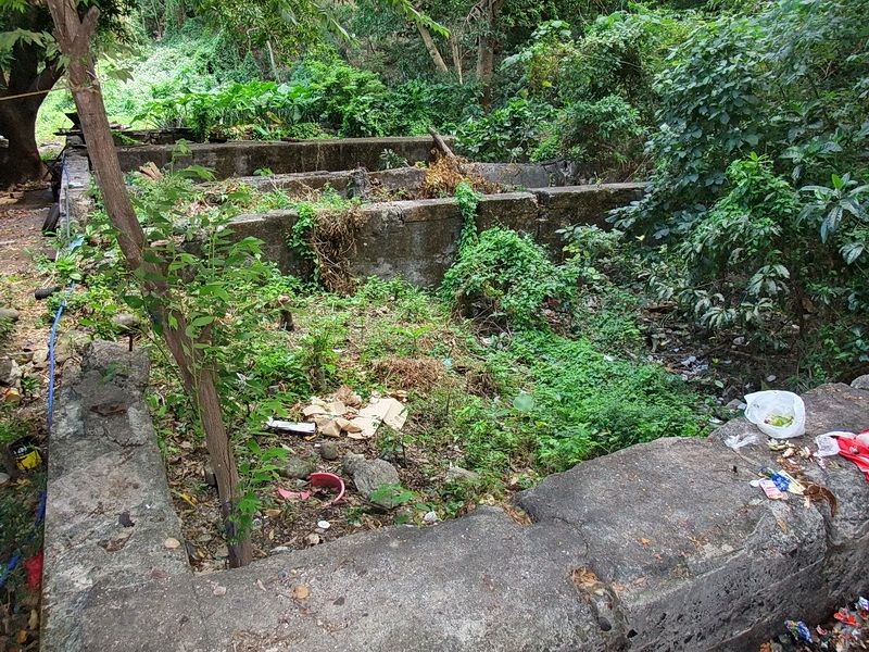
On Bottomside are remnants of the four concrete tanks which kept unused US Army anti-ship mine cables submerged in salt water. They sit behind the garages which maintain vehicles on the island.
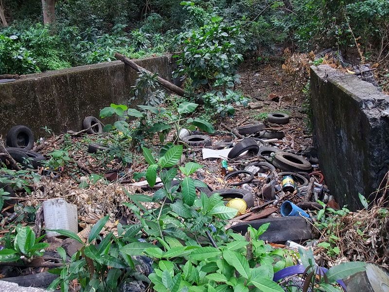
Another view of the Cable Tanks.
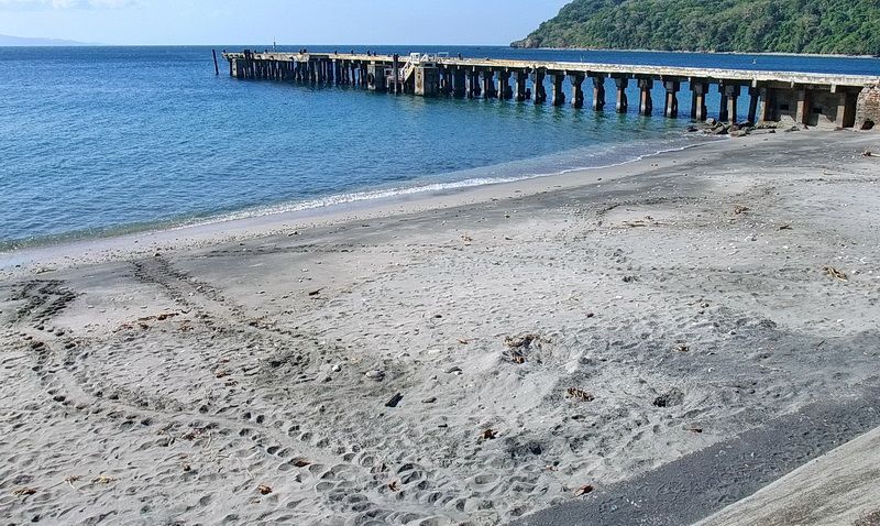
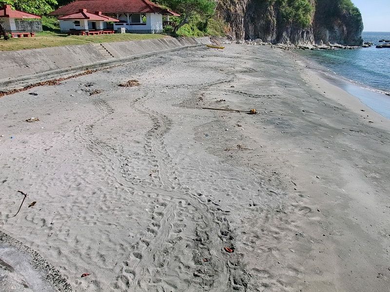
In late December you can see the tracks of turtles that come ashore at night to lay their eggs. This is part of the south beach on Bottomside.
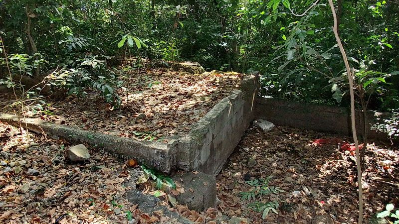
This is what remains of a Crematory at Middleside. It was a relatively large structure on two levels. This is the top section. The chimney which was in the rear left corner is now broken off.
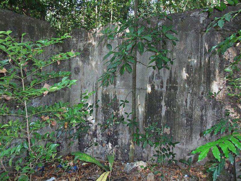
Inside wall of the lower section.
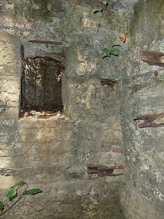
In the lower section, the rectangular hole goes into the furnace area below the chimney. Construction is of concrete, bricks and reinforcing steel.
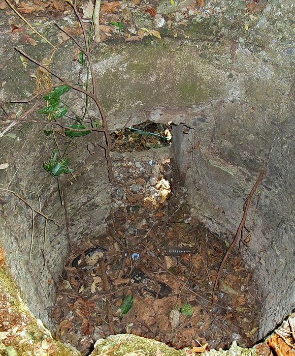
Looking down at the bottom of the chimney.
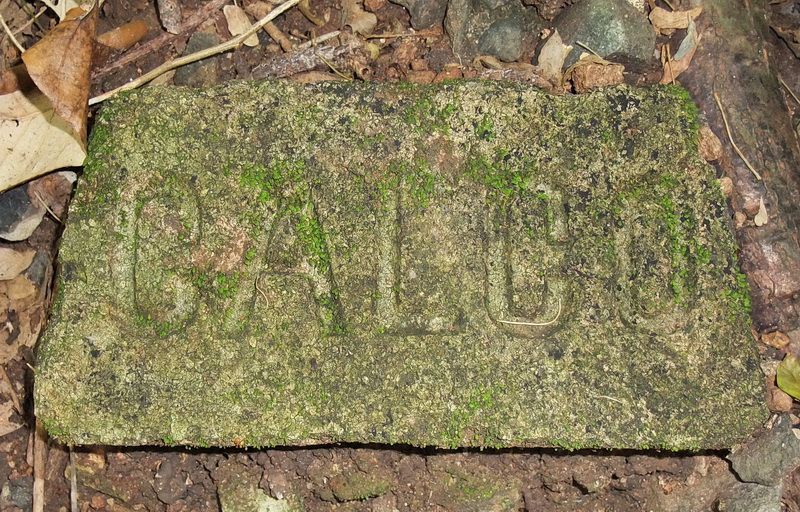
Bricks lying around.
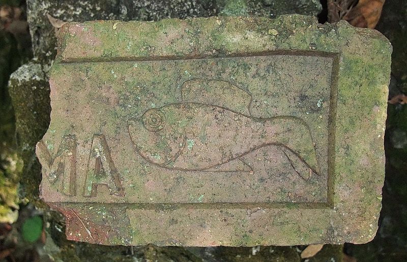
Another type of brick.
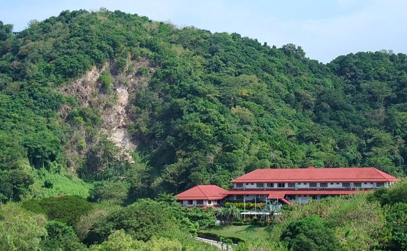
There has been a recent rock slide down Malinta Hill very close to the west tunnel entrance.
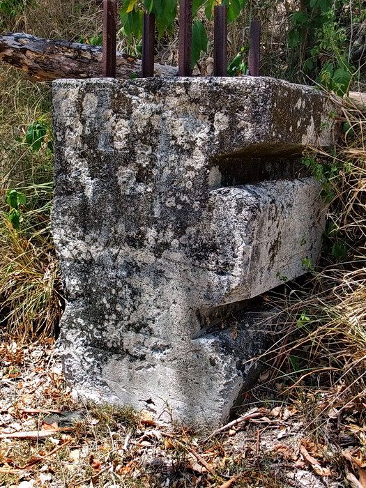
This is an anti-tank barrier located east of Malinta Hill. Rails would be placed in the slots between two or more barriers.
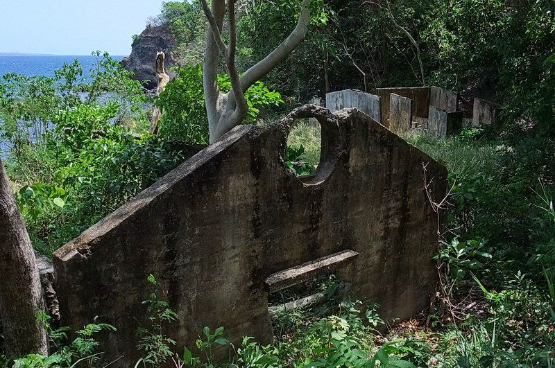
The end of a magazine near the Enlistedmen’s Swimming Beach. A Bath House can be seen upper right.
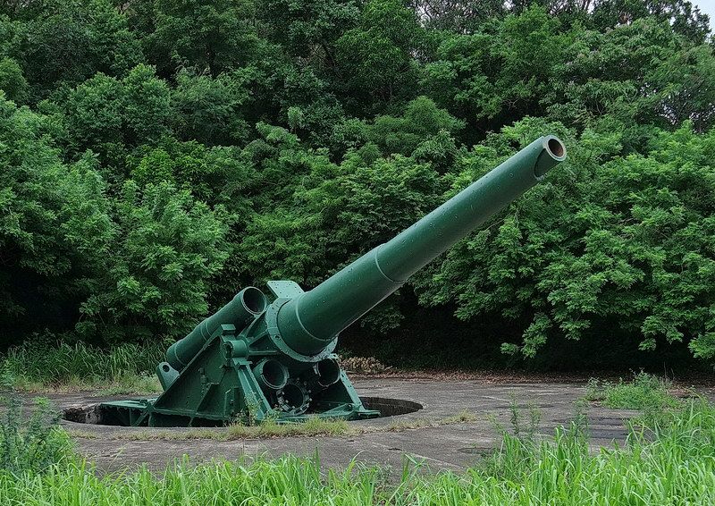
The 12-inch gun of Battery Smith.
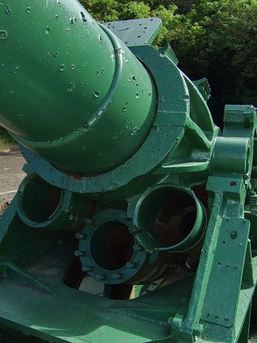
Lots of shrapnel damage in this gun.
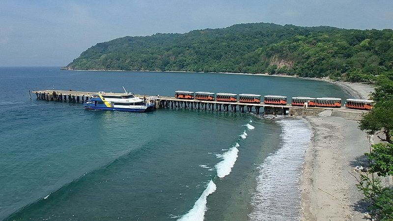
The Sun Cruises ferry from Manila is arriving at the South Dock.
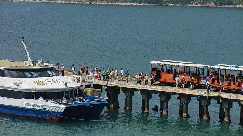
Passengers walk from the ferry to their assigned Tranvia bus.
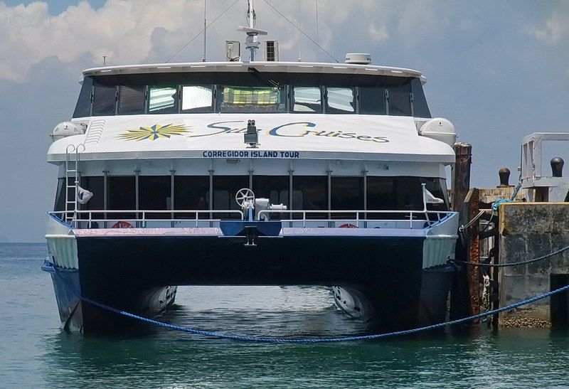
Sun Cruiser II
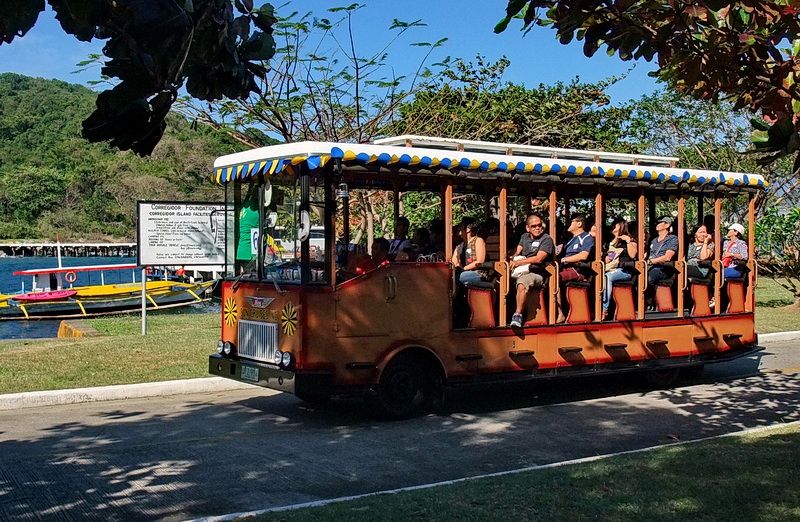
A closer look at a Corregidor Island Tranvia.
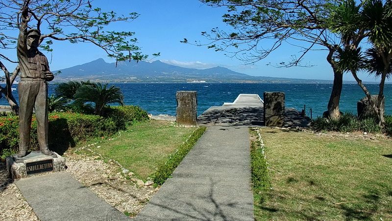
View of the Lorcha Dock looking towards Bataan.
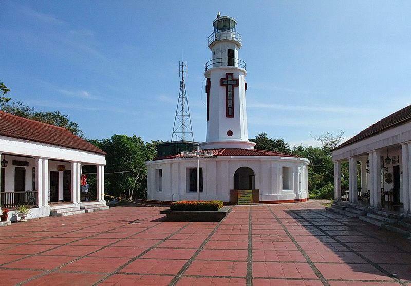
At the Topside Lighthouse on one of the pre-war water tanks is a new tower for Globe Telecom’s cellular communications. This could have been put in a less conspicuous location.
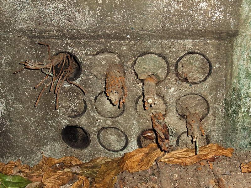
Up for the beach is a cable terminal building. Inside it are conduits which still contain copper pair and coax cables. These cables provided off-island communication between Corregidor and Luzon plus the other Manila Bay forts.
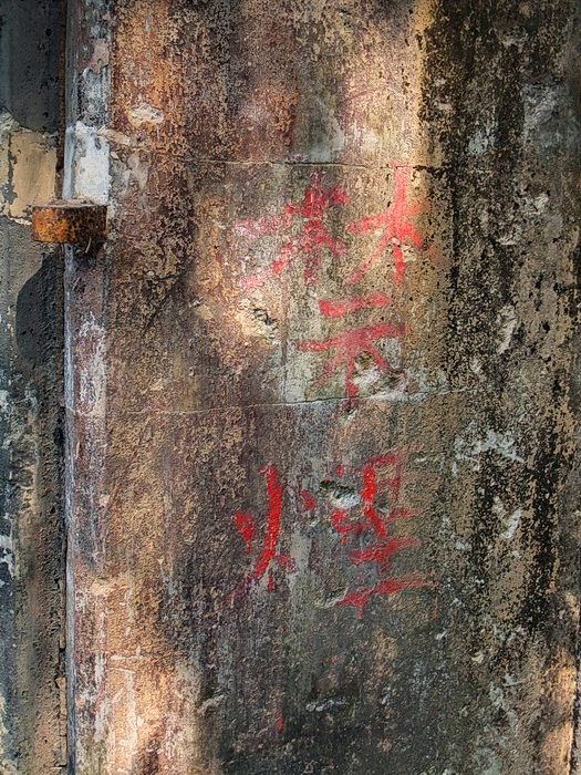
There are at least two locations at Battery James where you can see Japanese writing painted on the walls. Here is one of them.
Numerous broken beer bottles on Corregidor have the heads knocked off of them. They often lie in groups which suggest that they may have been part of Japanese pre-banzai parties. The locations of these groups do match locations where 1945 battles took place. The bottles are mostly sakai or beer bottles of various origins.
One particular bottle labeled BBB or Balintawak Beer Brewery is one of a kind on Corregidor as far as I have seen. A quick search on the internet says this brewery was located in Manila and in the 1930s, was competition to San Miguel. During the Japanese occupation, BBB took over the San Miguel Brewery so it was the only beer produced in the Philippines until after the war.
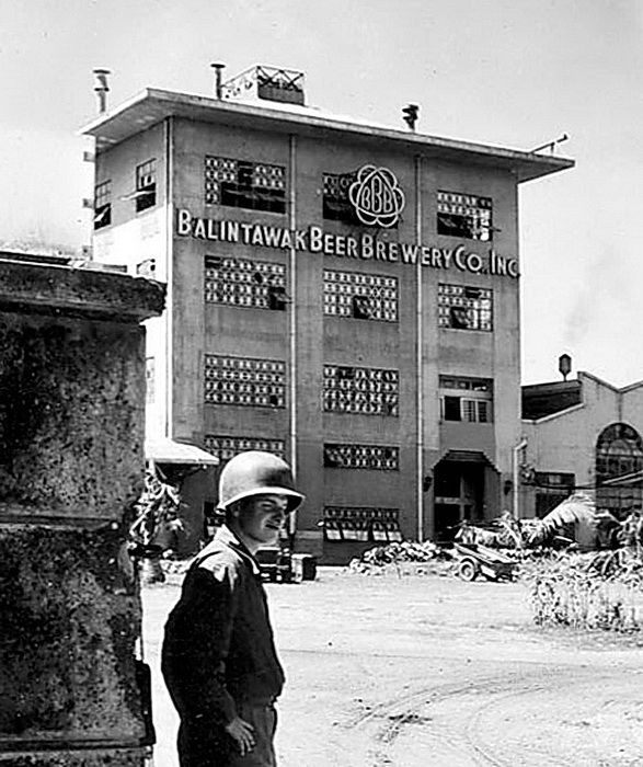
Balintawak Beer Brewery building in Manila, 1945. Raymond S. B. Perry Collection (Courtesy of Robin Hill and the National Museum of Naval Aviation)
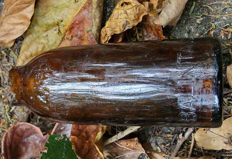
Balintawak Beer Brewery bottle
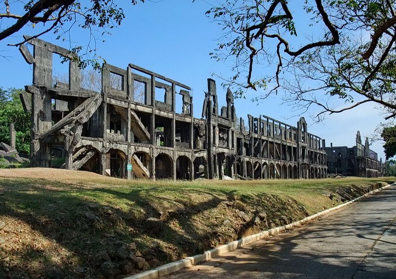
Near the western end of the Mile Long Barracks. More of the structure was to the left but it was totally destroyed during the war.
On Tailside south of Infantry Point were two short rows of Officer’s housing. Their only claim to fame was that three of the houses became quarters for MacArthur, Quezon and Sayre for a brief period during the siege. These houses were actually quite small and were probably had been assigned to junior officers. The floors and the lower section of walls were made out of concrete; the upper walls were wooden. Only the concrete remains today.
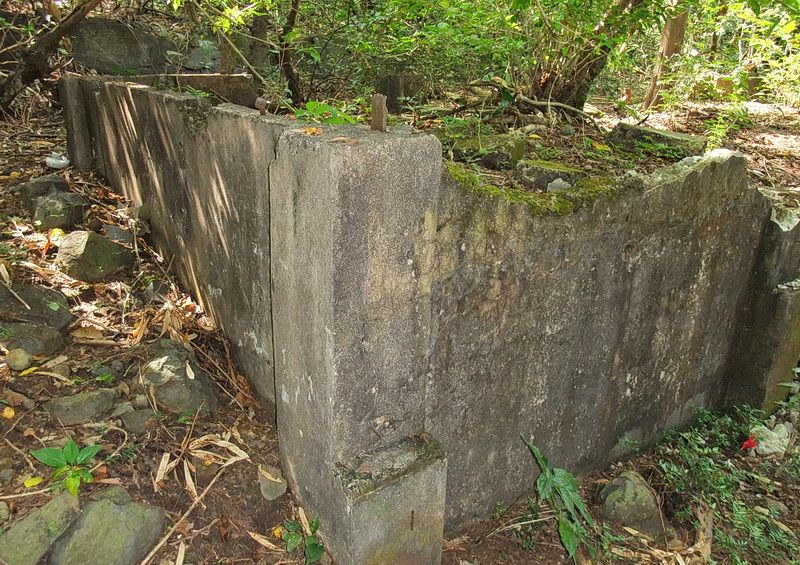
This house has a partial concrete wall and a raised floor. Note the metal bars (and bold/nut) sticking up in which wood for the upper part of the house was attached.
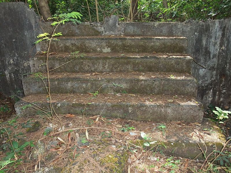
Steps up into the house.
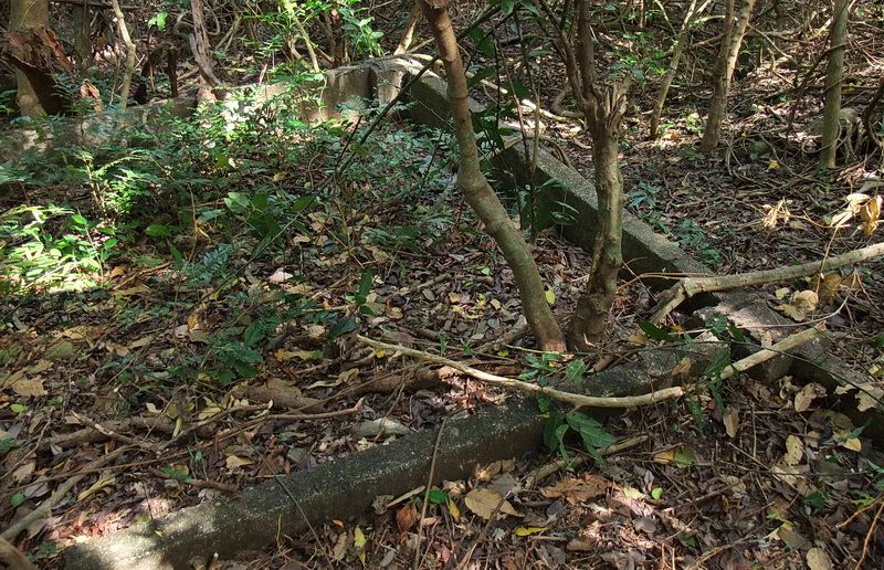
This one had a concrete floor and room paritions but all wodden walls.
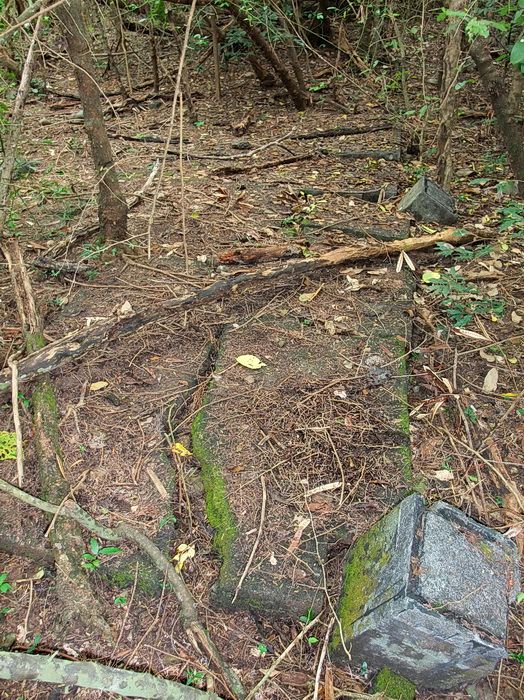
Here is a concrete floor.
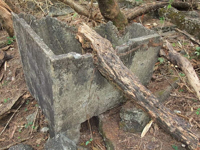
A concrete wash tub.
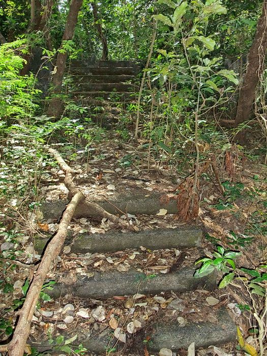
Steps up to a road then more steps up to a house.
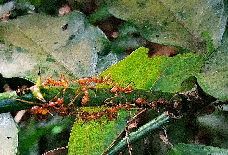
As if razor sharp thorns are not enough of a bother when hiking, the bite of these red ants feels like a hornet sting.
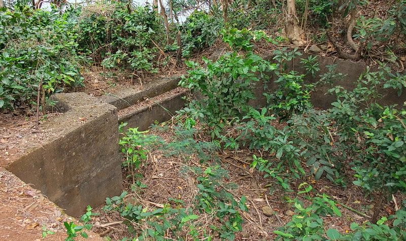
Above the cliff at Infantry Point is an old concrete gun position known as IV-F-1 (Sector 4, Field Gun Position #1). The section with what looks like a step is gun position #1. Many people confuse this old two-gun land defense position with Battery Kysor but it is not. (I made that mistake myself in the past).
Between IV-F-1 and the actual cliff, the 1932, 1935 and 1936 maps show two 75mm gun positions to have been located there. A few years ago I found one of these circular concrete pads but never bothered to look for the second one. Last month I was back there so I cleared around both pads a bit to show you what they look like today. They are mostly buried but still do exist.
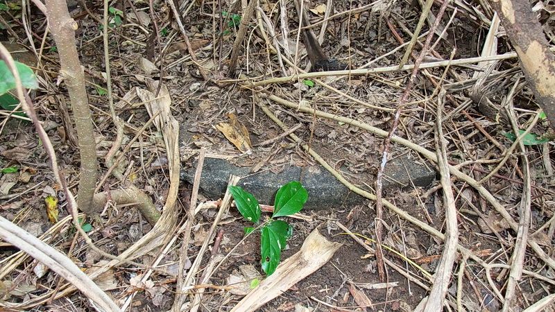
This 75mm gun position is in front of IV-F-1, Gun #1. It is still partially cleared from what I did years ago.
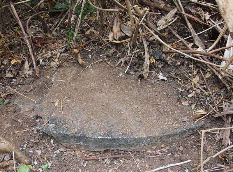
A better look at the same pad.
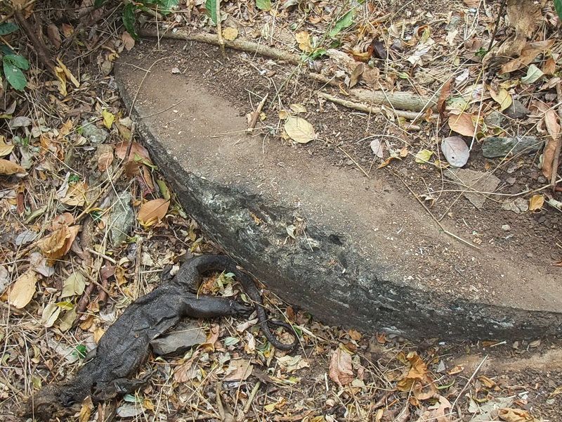
This 75mm gun position is in front of IV-F-1, Gun #2. Here is one lizard that won’t be scaring the crap out of me anymore.
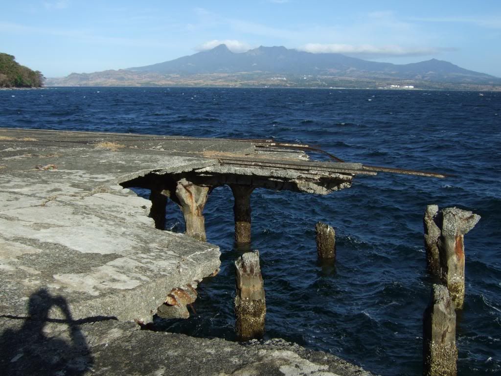
On Bottomside, this corner of the North Dock has been damaged for years.
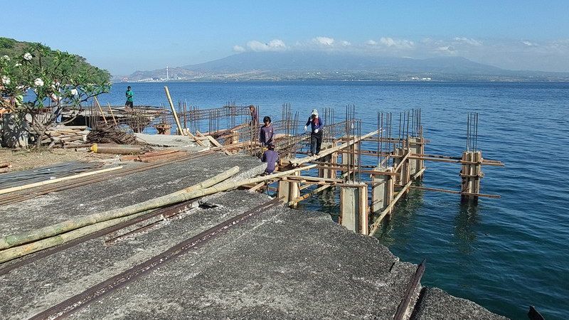
Work is underway to repair it.
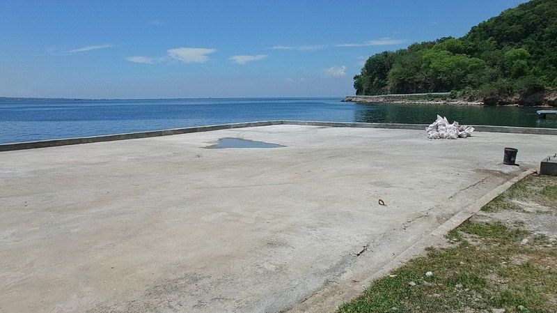
Work is complete. There is a little dip in the new concrete but it seems solid.
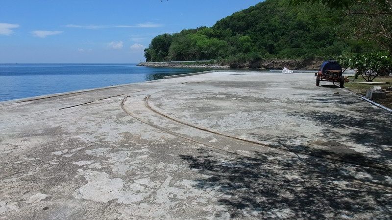
Original trolley rails can be seen is this section of the North Dock.
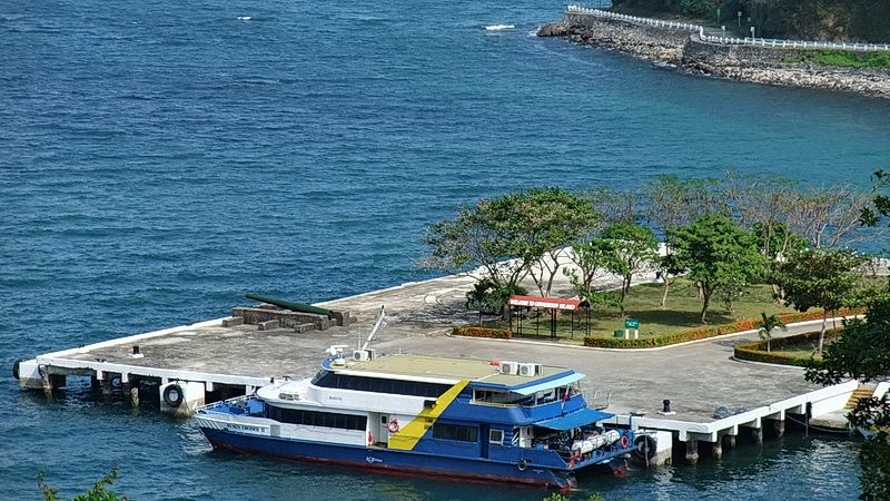
Looking down at the North Dock from the Stockade area.
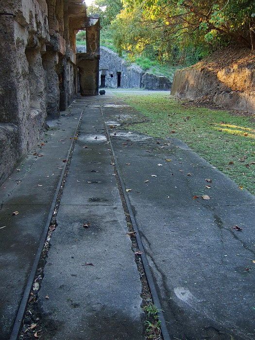
The trolley line behind Battery Crockett.
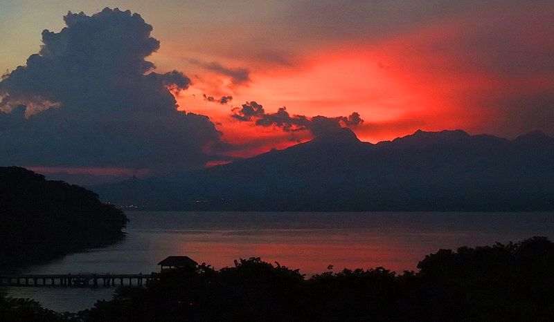
I made it back to my room at the Corregidor Inn a little too late to get a better photo of this sunset.
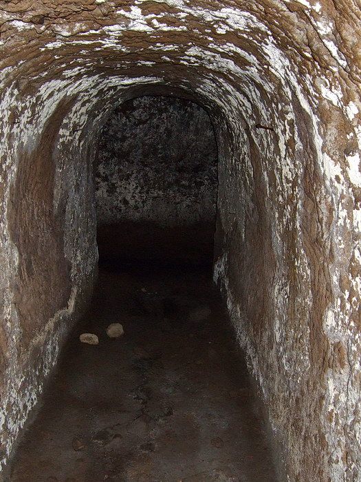
Corregidor is a great island if you like tunnels.
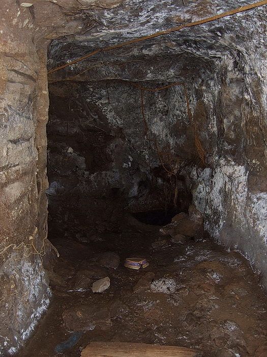
It took an amazing amount of work to dig such tunnels all over the island.

Insert comment here: ______________________________________________________________
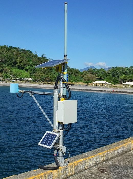
Near the outer end of the South Dock (facing open ocean) is this contraption. It is a Tsunami warning device. An excessive drop in Manila Bay water level causes a signal to be sent to a receiving station located near the CFI Administration Building. A siren is activated and everyone is to immediately head for Topside.
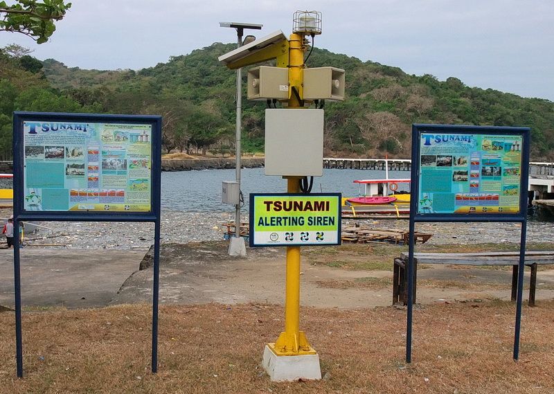
The station near the CFI Administration Building.
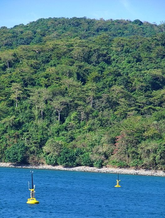
Two more similar devices are also in view from the south side of the island. They are also for Tsunami warning but report a water level drop to Manila for the national Tsunami warning system. They were located elsewhere in Manila Bay but local fishermen were starting to disassemble them to sell the parts. Now they are anchored just offshore from Black Beach where they are in sight (and shot) of the Philippine Coast Guard.
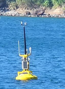
Closer view of one of them.
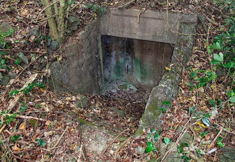
Here is the Western entrance of a “three entrance, two magazine” underground structure. You go down the steps, turn left, and continue descending along a sloped passageway towards the first magazine.
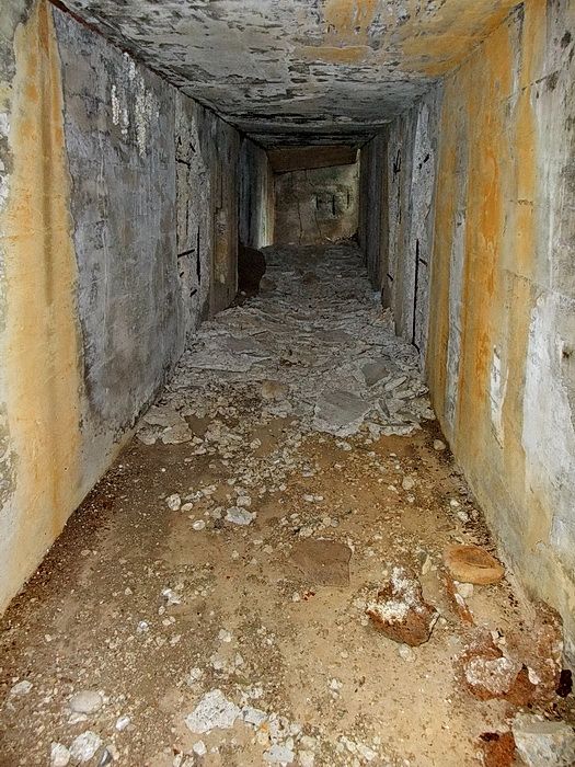
Looking up part of the sloped passageway.
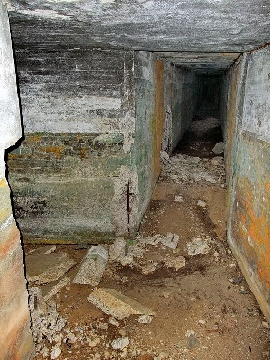
Intersection where the first magazine is on the left and straight ahead takes you to the second magazine.
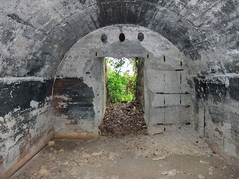
Looking through the first magazine out towards the central entrance.
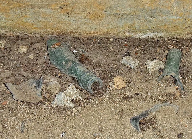
Hey Phantom, there appears to be a mini “banzai party” location here as there are necks of beer bottles littering the floor. Dia Nippon Brewery Company beer bottles are nearby.
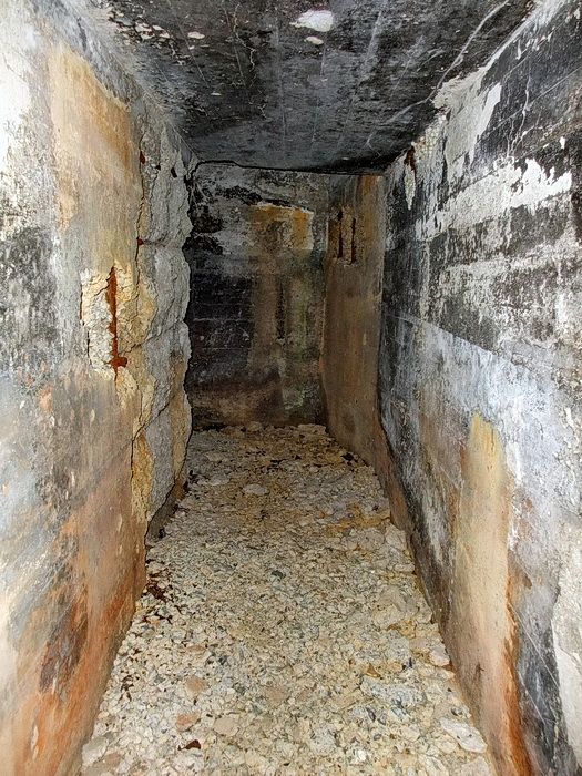
At the end of the passageway, you turn left toward the second magazine and the third (Eastern) entrance.
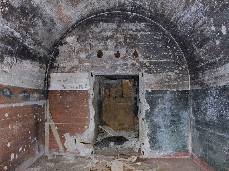
Inside the second magazine and looking towards the rear passageway.
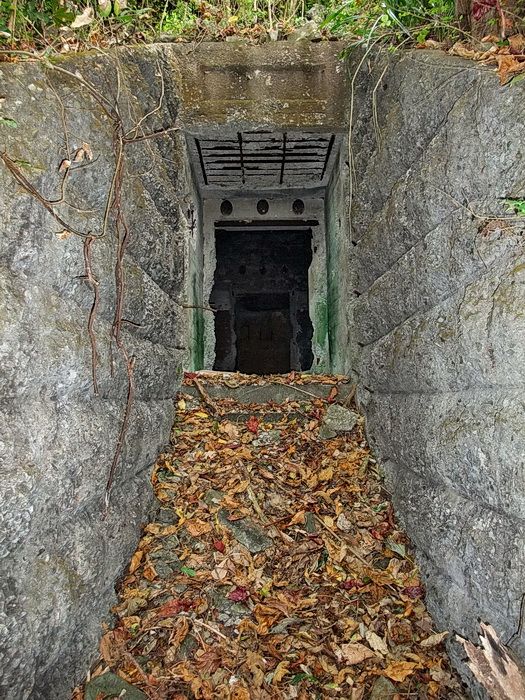
Outside the Eastern entrance.
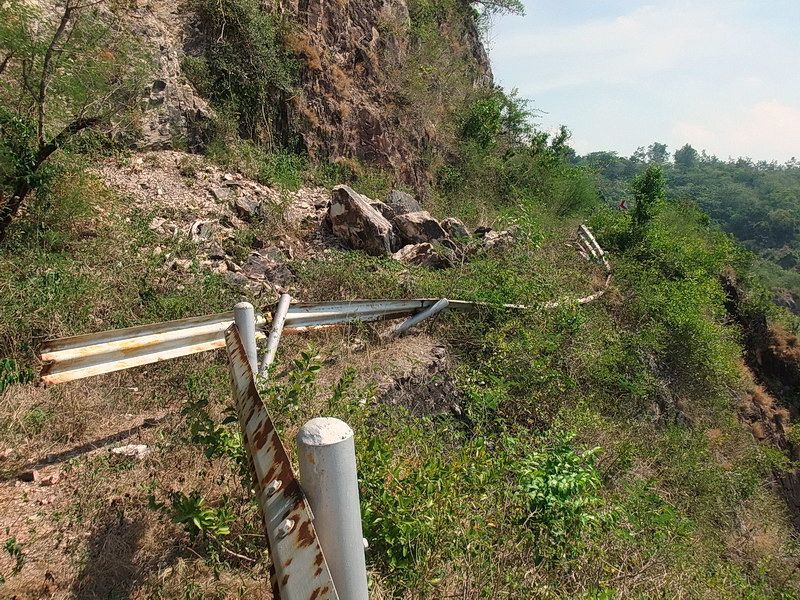
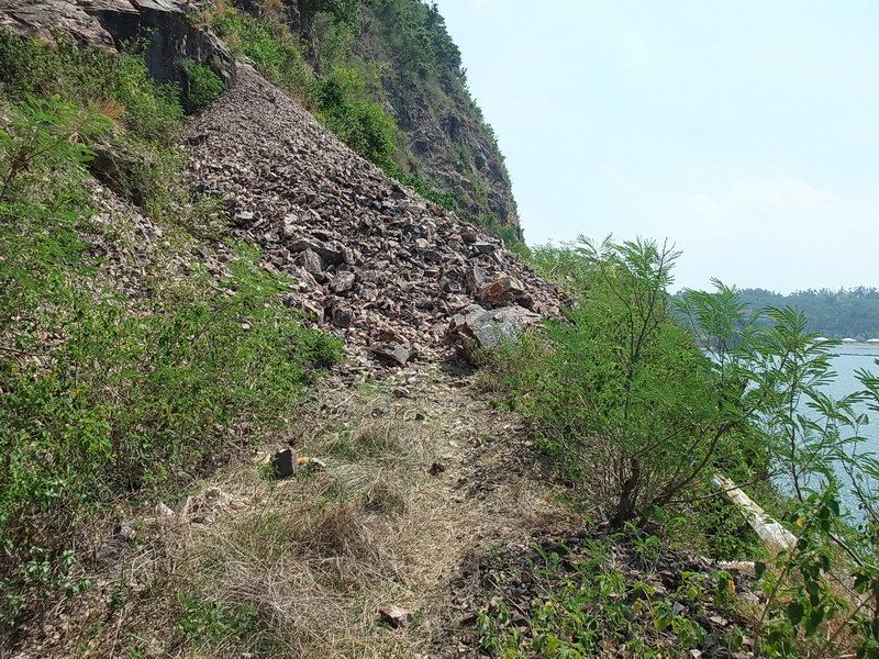
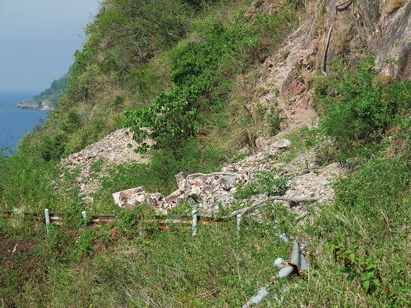
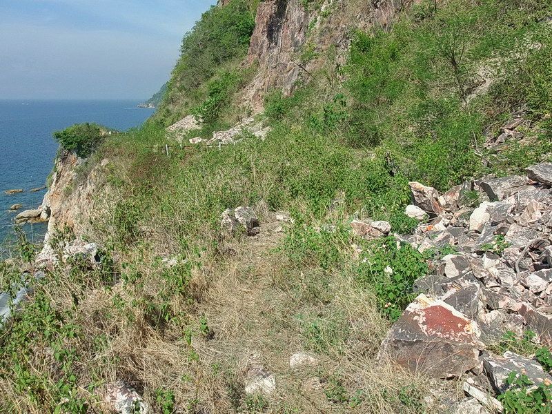
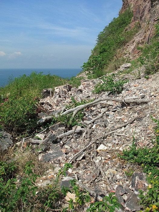
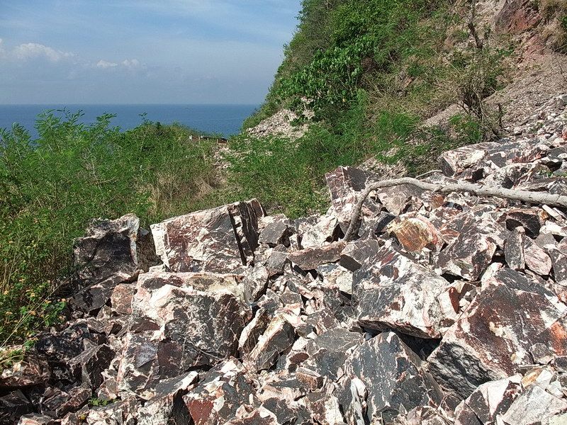
It appears that the South Shore Road around Malinta Hill will be closed forever now. From what I have seen, that would be a wise decision as the whole hillside seems fractured and recent rock-falls are visible everytime I go by there. To clear the road would cost a fortune and it would only fill up again... possibly killing someone next time. Here are a few photos of what this road looks like today.
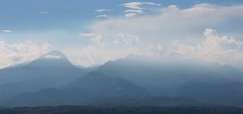
This is a zoomed view of Mount Mariveles on Bataan.
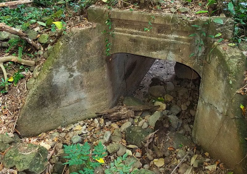
There were many roads on Corregidor but few are still in use today. It is not unusual to see bridges such as this in the jungle all over the island. This one is along the South Shore Road on the western part of Corregidor.
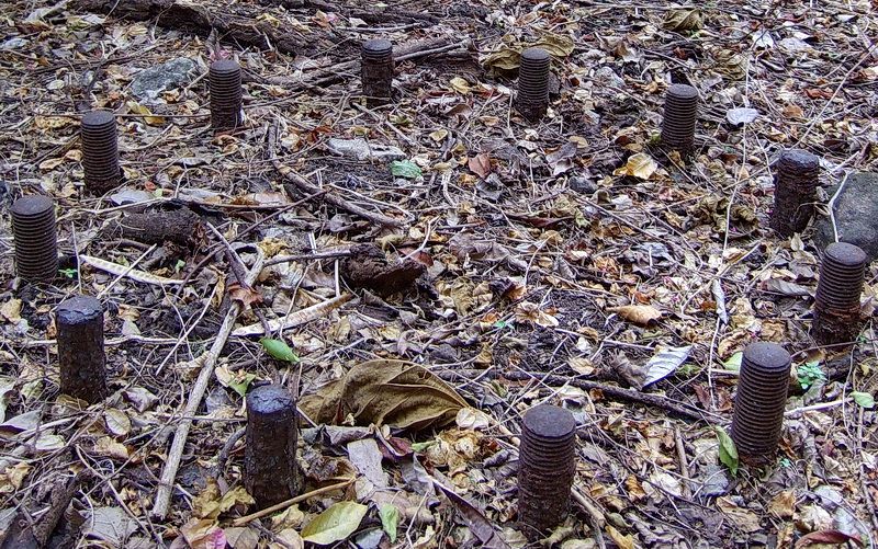
A ring of bolts for securing one of the 3-inch Rapid Fire Coastal Defense guns at Battery Maxwell Keyes.
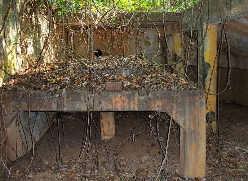
This type of shelter for a Direction Finder is unique. The instrument sat on a reinforced pedestal and was able to be operated out through a rectangular opening in the roof. I do not know what battery or group the shelter was originally constructed for however during the war, it was manned by Battery Boston as their Director.
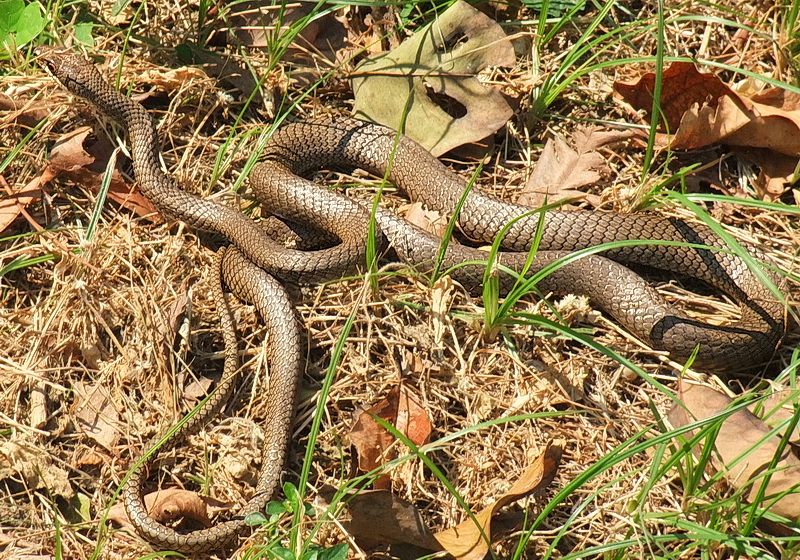
When you think you are alone on Corregidor, you probably aren't. Ants, lizards and spiders do not bother me but I hate these things.
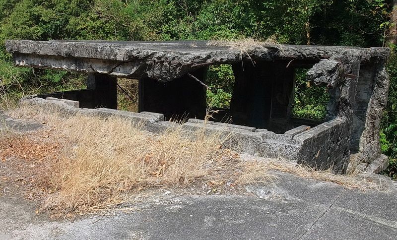
The damaged battery control station at Battery Wheeler.
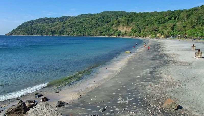
Black Beach where the February 16th 1945 amphibious landing took place.
At a few locations on Corregidor maps you will see “155mm Semi-Fixed Emplacements”. These would have been locations where mobile guns would be setup only when necessary. Today these Emplacements are mostly depressions in the landscape with no distinguishable features to identify what they were. They just look like shallow craters.
Fortunately there remains one two-gun position that is in an identifiable state. It is located SW of Battery Crockett. Above the cliff you will see two hollowed out circles side by side. Facing the cliff (where the guns were to be pointed) are low parapets. The cliff-side of the parapets is lined with rocks for extra protection. Inside, near the front of the gun positions, you will see two rectangular concrete blocks that I assume were wheel blocks of some sort for the mobile 155mm guns. Nearby the two gun positions are two metal pipes set into concrete bases. The pipes are cut-off now but another assumption is that these pipes had some sort of sighting instruments mounted on them and this was their crude battery control station.
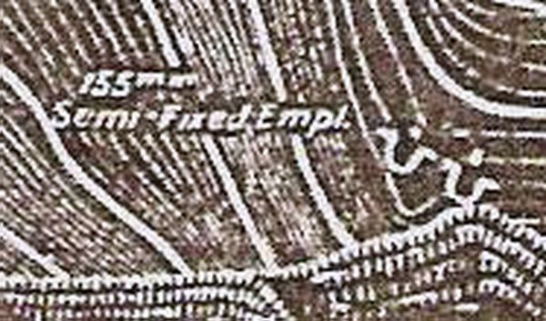
A sample of what these Emplacements look like on the maps.
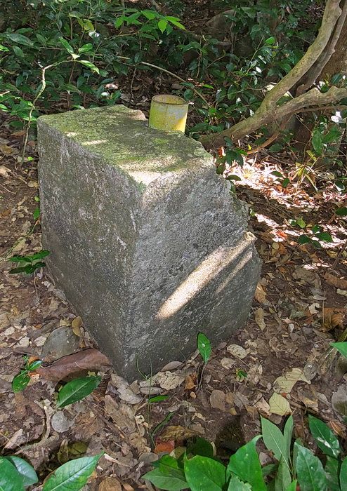
A cut-off metal pipe set in concrete.
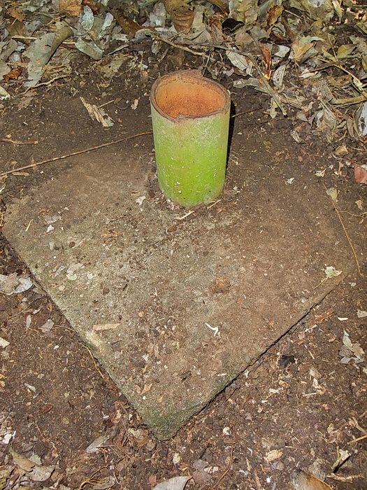
A second one just a short distance away.
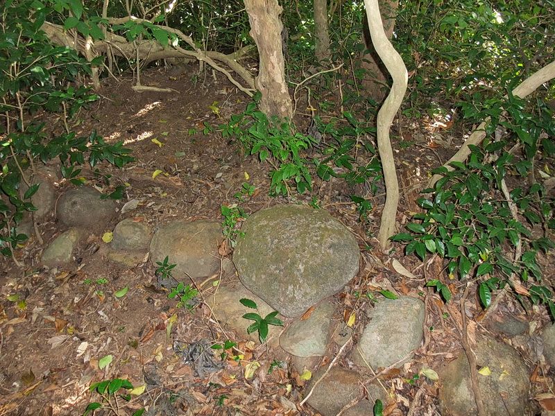
Rocks lining the outside of the parapet. The top of the parapet can be seen approximately an inch down from the top of the photo.
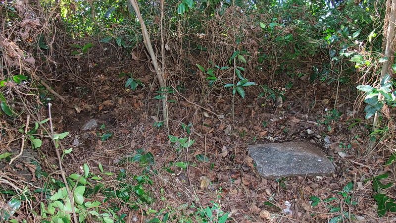
Here I am inside the gun position looking toward the parapet. One of the wheel blocks, if that is what they are, can be seen to the right. The same type chunk of concrete can just barely be seen to the left. This one is broken but definitely the same shape.
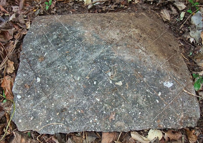
Close-up of the “wheel blocks” showing a cross-hatch pattern etched into them. Both blocks have the same pattern.
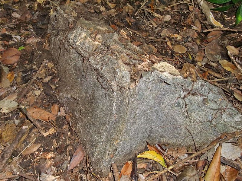
I have no idea what this chunk of concrete in the second gun position was. It is rounded on one side.
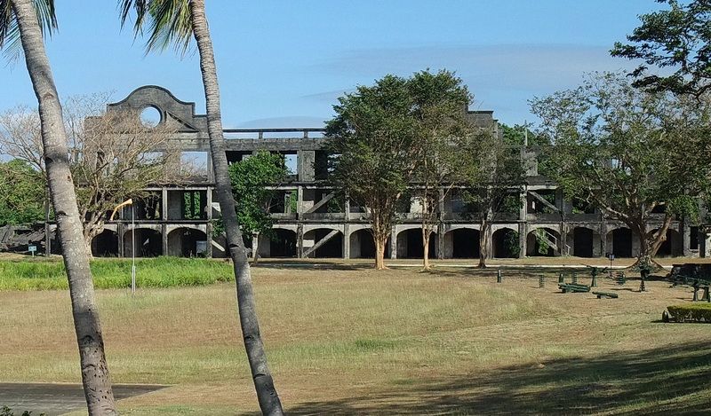
Looking across part of the Topside Parade Ground towards Mile Long Barracks.
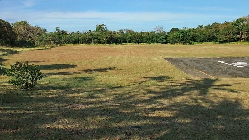
The Topside Parade Ground
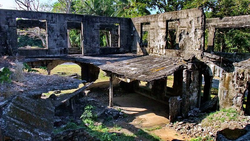
Interior of part of the Topside Administration Building. It is looking quite fragile these days.
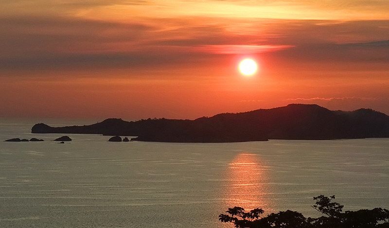
Occasionally I take the “Sunset Tour” up to Battery Grubbs. The view usually looks the same but it is a nice place to spend some time. This zoomed view shows the “Points” area of Bataan near Mariveles.
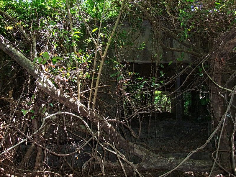
Here is Quartermaster Corps Storehouse #75. This gives you an idea of how some areas on Corregidor are getting very overgrown making some things difficult to find.
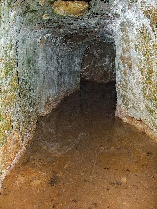
Most Corregidor tunnels are dry however a few are not.
Just to the west of Black Beach a short ways above the cliff is an old land defense position. It was called V-M-3 (Sector 5, Machine Gun Position #3). For some reason I ignored this place until last month. The machine gun position is mostly buried except for one corner. My GPS confirmed that this is the correct location for it. Behind the position through the bushes I could see a dark spot in the vegetation. On closer inspection I got a little surprise as I saw the entrance to a concrete magazine that I did not know existed. This island is always good for a surprise now and then.
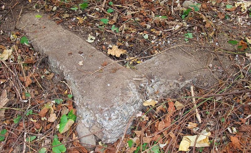
The corner of V-M-3.
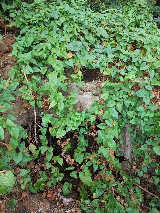
Getting closer to the dark spot.
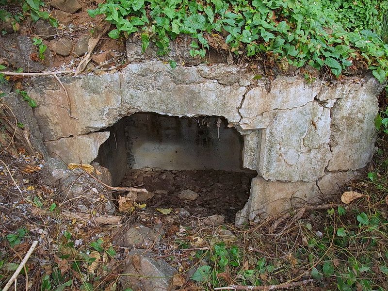
Same location after clearing the vines away from the magazine’s entrance.
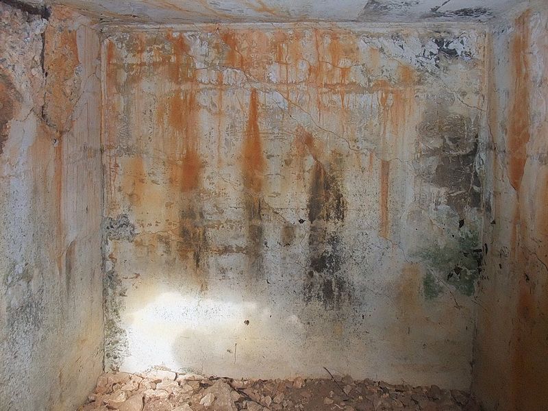
Interior of this small magazine.
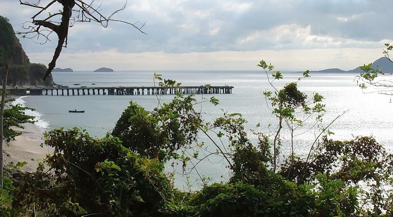
Early morning view from the magazine looking toward Black Beach. The South Dock and Corregidor’s tail are to the left and Caballo Island (Fort Hughes) can be seen to the right.
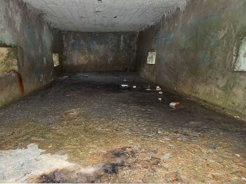
Here is a little “where is this?” question for you. We are inside a bunker with four staggered machine gun positions.
V
V
V
V
V
V
V
V
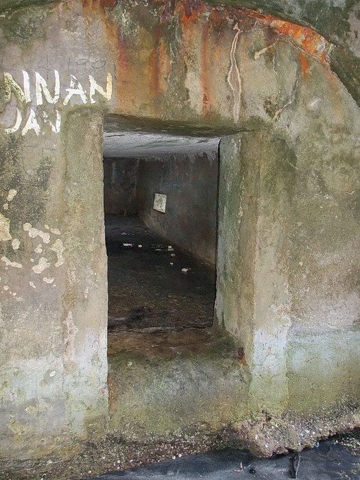
Clue #2, standing outside the bunker looking in the doorway.
V
V
V
V
V
V
V
V
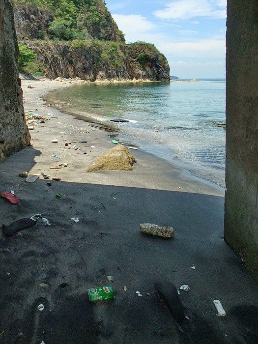
Giveaway clue; from the doorway, look left to see this view.
V
V
V
V
V
V
V
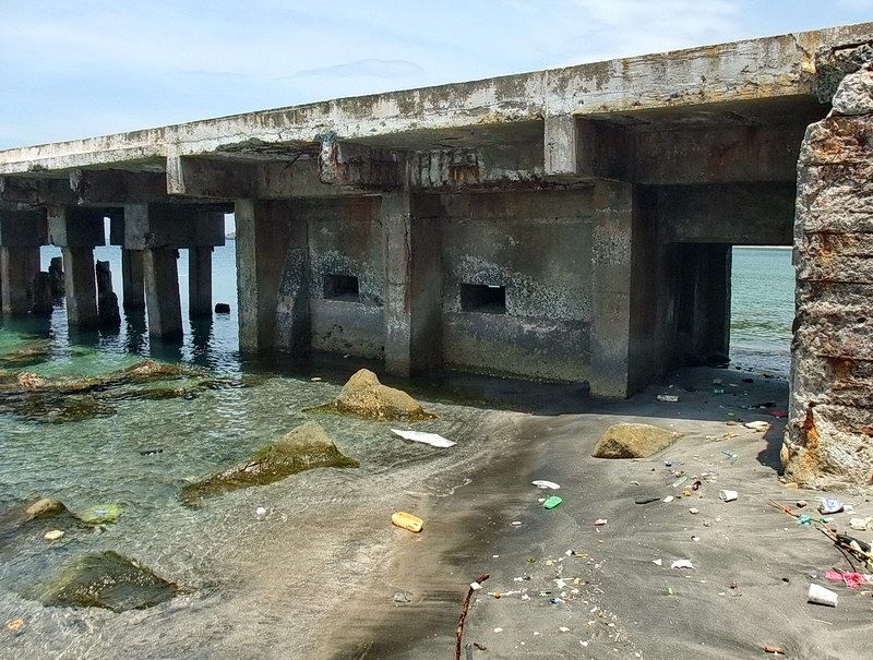
You got it, this bunker is hidden under the South Dock. Most people don’t even notice it.
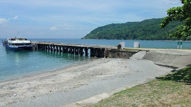
A final view of the South Dock on Bottomside.