Post by tomasctt on Dec 25, 2010 9:05:39 GMT 8
... alleged campsite of theirs at Mt Batulao.
Batan Island tunnel complex:
On November 2009, I visited Batanes and one of the places I went to was what is dubbed as a Japanese tunnel complex of WW2 vintage at Batan Island. It looked like an OP considering the view from the exits.
A sign that at the entrance of the tunnel complex. It is just beside the road going to Fundacion Pacita -
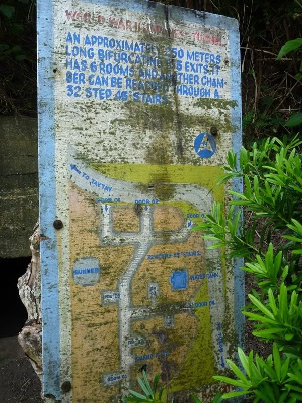
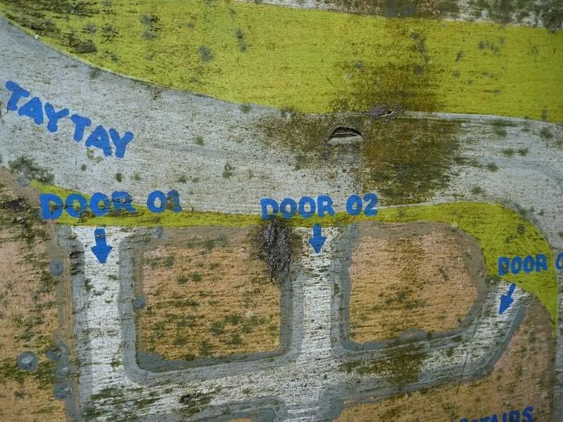
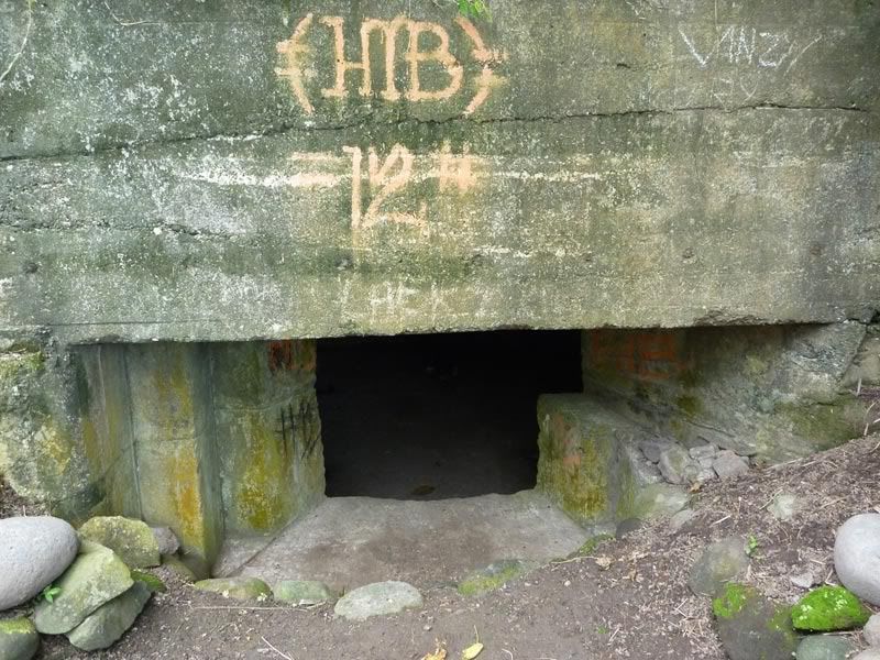
The entrances by the road were made of concrete. Now, whether these are WW2 era concrete or built up by the tourist officials, I have no idea -
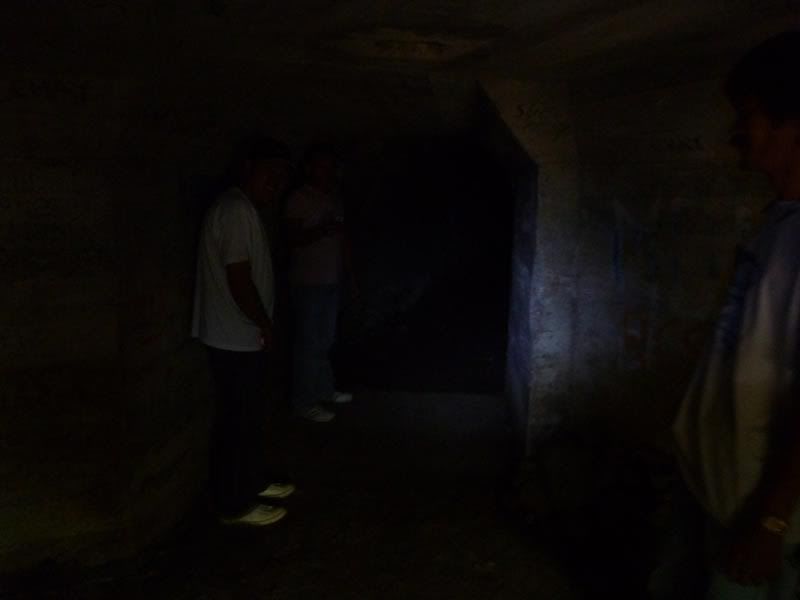
At the "lobby" of one of the entrances. You could still stand upright here. I deliberately took the shot without flash to show how dark it was -
The concrete soon disappears and the walls are bare rock (limestone). Here is one of the branches leading to one of the exits -
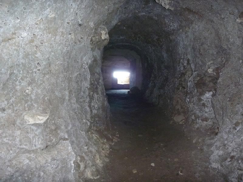
Just beyond the "lobby," the carved out tunnel goes down steeply (almost as steep as the tunnel near the Pacific War Memorial at Fort Mills going up the secondary battery control [?] for Way). The tunnel is quite wet (water is seeping out from some of the walls), thus the floor is a bit slippery, making for a somewhat dangerous descent (a slip could end up with a broken back or a cracked skull) -
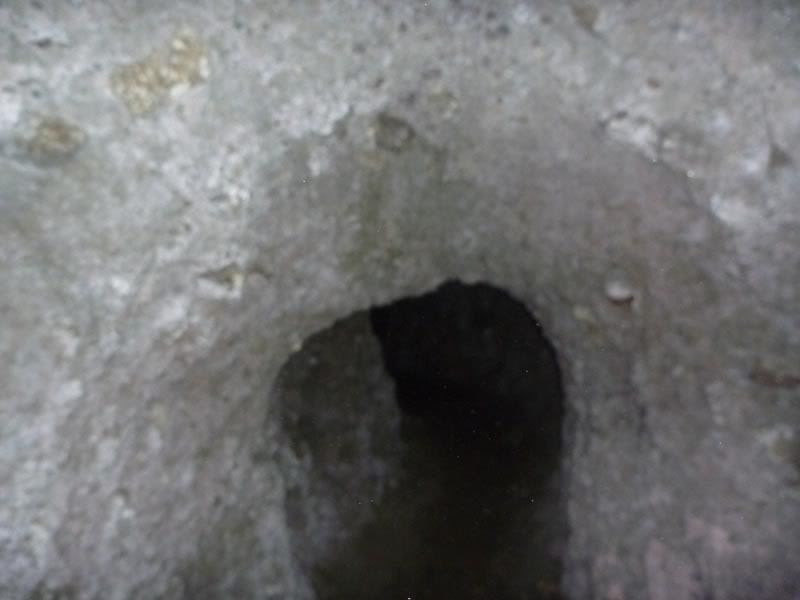
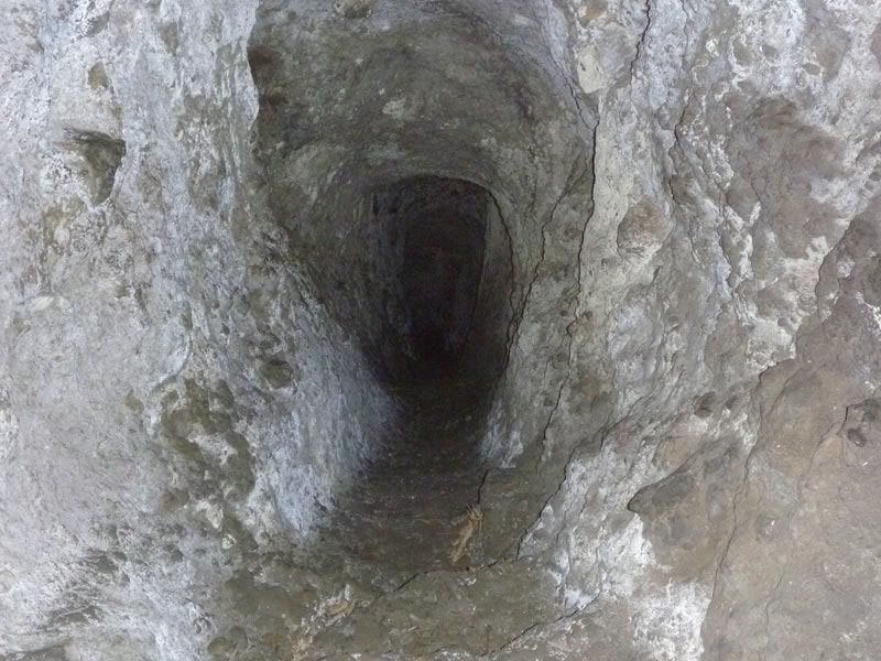
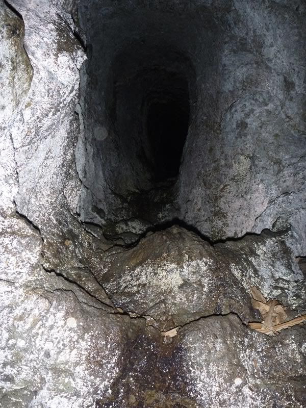
Here I am holding onto the dear life. The steps (long since worn away) are quite slippery -
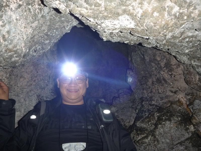
I don't know how long it took to go down, maybe five minutes (?). It was a short distance, but quite steep. The tunnel was tall enough to stand upright all the way. After going down, the complex is once again on level ground. More branches are found -
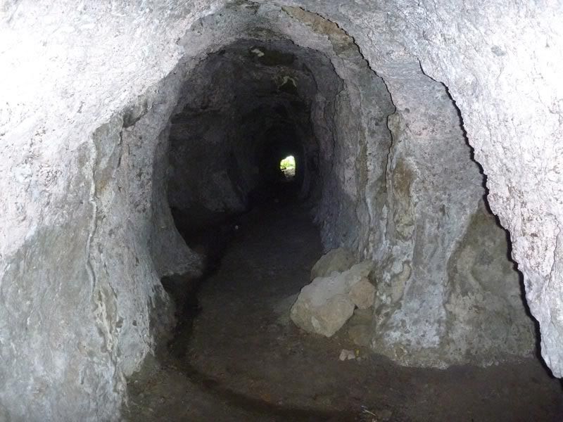
At one of the exits, jungle greets me. Back then, this would probably have been trimmed down to show the sea. Since it was taken last year, I don't recall what direction this is facing -
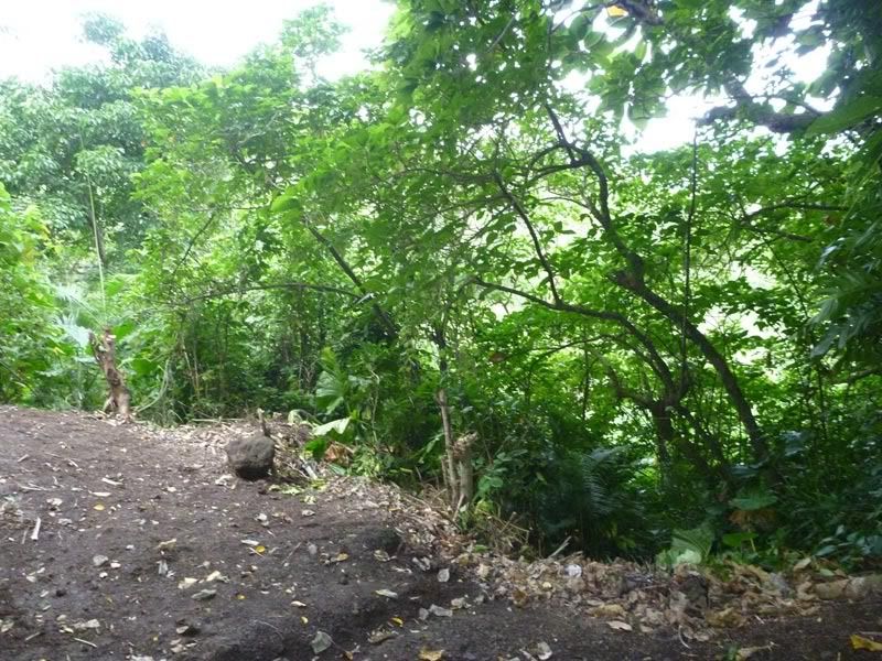
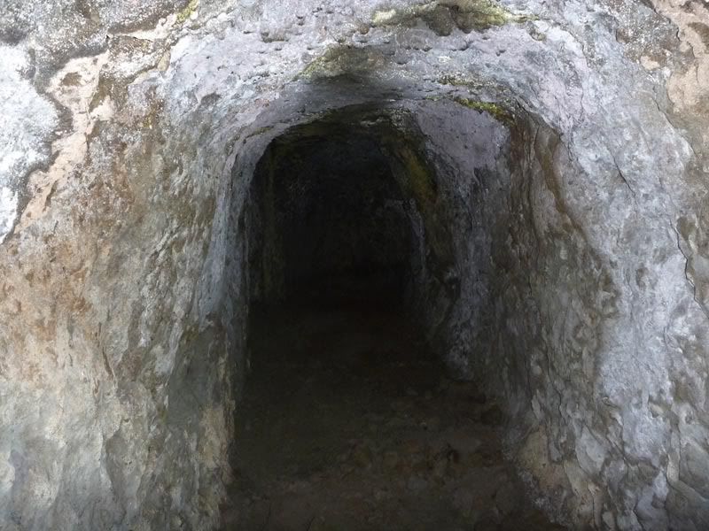
At one of the tunnel exits -
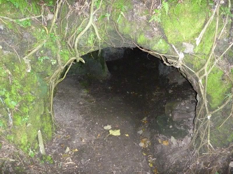
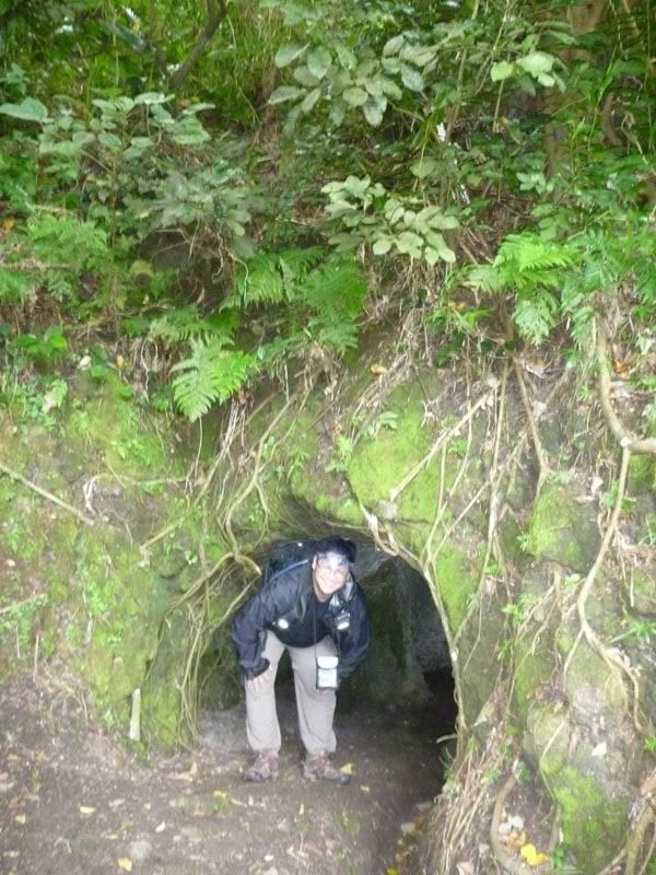
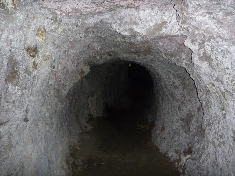
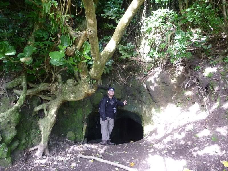
And at yet another tunnel exit -
Alleged Japanese OP/campsite at Mt Batulao -
I've been to Mt Batulao several times, and in my last trek, I asked the guy maintaining the New Trail if there were WW2-era Japanese fortifications or other similar structures nearby. He told me that one of the campsites, Peak 7 Campsite along the New Trail, was originally a campsite or observation post for the Japanese.
Peak 7 Campsite is situated on top of what is named Peak 7 along the New Trail to the summit of Mt Batulao. The New Trail is situated on and along a ridge towards the summit. The trail keeper said that Peak 7 had long been leveled since WW2. The Japanese are said to have camped there or turned it into an observation post.
The following pictures were taken on various dates.
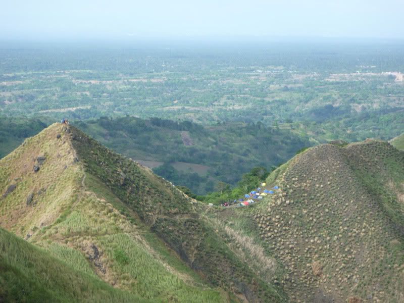
The tents you see here are on the saddle between Peak 8 (left) and Peak 7 (right). That campsite is known as Peak 8 campsite. Peak 7 campsite is on top of Peak 7 (at the right). This pic was taken along the trail going to the summit looking back towards the campsite -
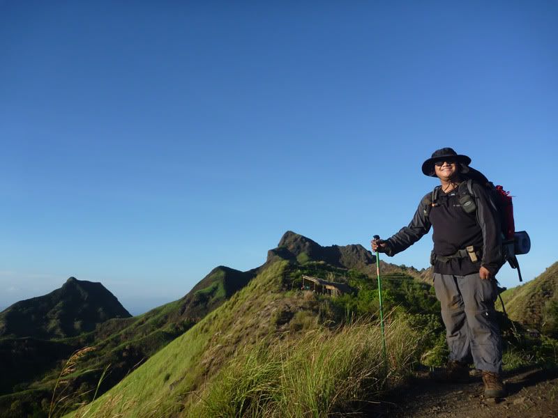
From this area, Peak 7 campsite would be above the hut you see near my hand at the background. This was taken along the New Trail going to the campsite -
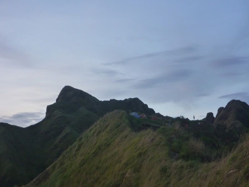
Another view (taken on another date) of Peak 7 campsite. Again, taken from the New Trail looking towards the campsite between Peak 7 and Peak 6 -
On Peak 7, one has an almost unobstructed 360-degree view of Cavite, Batangas, all the way to Bataan and Metro Manila. On very clear days, you could see (from North, counter-clockwise): Metro Manila, Mt Mariveles, Pico de Loro, Balayan Bay (and the beaches of Nasugbu), Mindoro and Taal Lake. The view towards the south is obstructed by the summit itself. From the summit (Peak 10), one can see all the way to Batangas Bay (partly visible) and Mindoro -
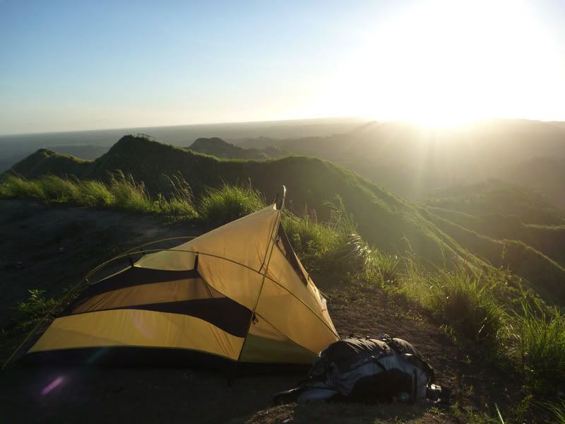
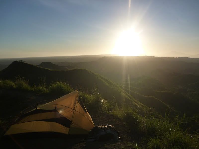
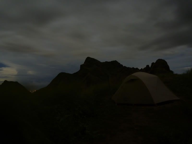
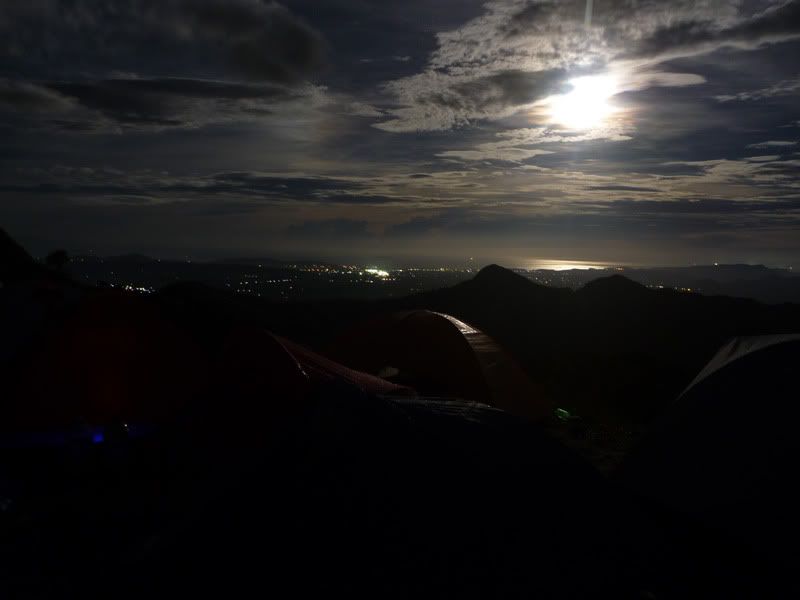
(the last two photos were taken in my last trip [November 2010], at around 2300hrs and 0400hrs respectively)
The view from Peak 7 offers a good vantage point of anyone landing at Nasugbu. The summit is also a campsite but is very exposed and relatively small.
FWIW....
Batan Island tunnel complex:
On November 2009, I visited Batanes and one of the places I went to was what is dubbed as a Japanese tunnel complex of WW2 vintage at Batan Island. It looked like an OP considering the view from the exits.
A sign that at the entrance of the tunnel complex. It is just beside the road going to Fundacion Pacita -


The entrances by the road were made of concrete. Now, whether these are WW2 era concrete or built up by the tourist officials, I have no idea -

At the "lobby" of one of the entrances. You could still stand upright here. I deliberately took the shot without flash to show how dark it was -

The concrete soon disappears and the walls are bare rock (limestone). Here is one of the branches leading to one of the exits -

Just beyond the "lobby," the carved out tunnel goes down steeply (almost as steep as the tunnel near the Pacific War Memorial at Fort Mills going up the secondary battery control [?] for Way). The tunnel is quite wet (water is seeping out from some of the walls), thus the floor is a bit slippery, making for a somewhat dangerous descent (a slip could end up with a broken back or a cracked skull) -


Here I am holding onto the dear life. The steps (long since worn away) are quite slippery -

I don't know how long it took to go down, maybe five minutes (?). It was a short distance, but quite steep. The tunnel was tall enough to stand upright all the way. After going down, the complex is once again on level ground. More branches are found -


At one of the exits, jungle greets me. Back then, this would probably have been trimmed down to show the sea. Since it was taken last year, I don't recall what direction this is facing -

At one of the tunnel exits -


And at yet another tunnel exit -

Alleged Japanese OP/campsite at Mt Batulao -
I've been to Mt Batulao several times, and in my last trek, I asked the guy maintaining the New Trail if there were WW2-era Japanese fortifications or other similar structures nearby. He told me that one of the campsites, Peak 7 Campsite along the New Trail, was originally a campsite or observation post for the Japanese.
Peak 7 Campsite is situated on top of what is named Peak 7 along the New Trail to the summit of Mt Batulao. The New Trail is situated on and along a ridge towards the summit. The trail keeper said that Peak 7 had long been leveled since WW2. The Japanese are said to have camped there or turned it into an observation post.
The following pictures were taken on various dates.
The tents you see here are on the saddle between Peak 8 (left) and Peak 7 (right). That campsite is known as Peak 8 campsite. Peak 7 campsite is on top of Peak 7 (at the right). This pic was taken along the trail going to the summit looking back towards the campsite -

From this area, Peak 7 campsite would be above the hut you see near my hand at the background. This was taken along the New Trail going to the campsite -

Another view (taken on another date) of Peak 7 campsite. Again, taken from the New Trail looking towards the campsite between Peak 7 and Peak 6 -

On Peak 7, one has an almost unobstructed 360-degree view of Cavite, Batangas, all the way to Bataan and Metro Manila. On very clear days, you could see (from North, counter-clockwise): Metro Manila, Mt Mariveles, Pico de Loro, Balayan Bay (and the beaches of Nasugbu), Mindoro and Taal Lake. The view towards the south is obstructed by the summit itself. From the summit (Peak 10), one can see all the way to Batangas Bay (partly visible) and Mindoro -


(the last two photos were taken in my last trip [November 2010], at around 2300hrs and 0400hrs respectively)
The view from Peak 7 offers a good vantage point of anyone landing at Nasugbu. The summit is also a campsite but is very exposed and relatively small.
FWIW....


 Best months to go there are January to March. Problem though is that it's expensive to go there (only one airline, Seair, has regular flights to Batanes, so no competition; a week's stay in Vietnam, Thailand, or Cambodia is cheaper than a week's stay at Batanes).
