|
|
Post by Karl Welteke on Jun 20, 2011 10:07:50 GMT 8
|
|
|
|
Post by Karl Welteke on Jun 20, 2011 12:31:34 GMT 8
|
|
|
|
Post by fots2 on Jun 20, 2011 16:42:11 GMT 8
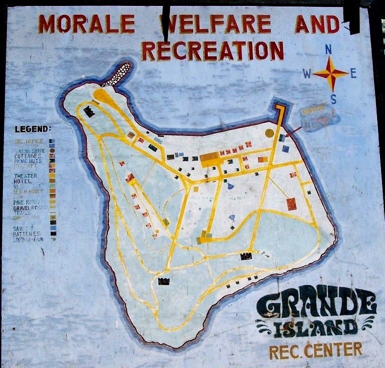
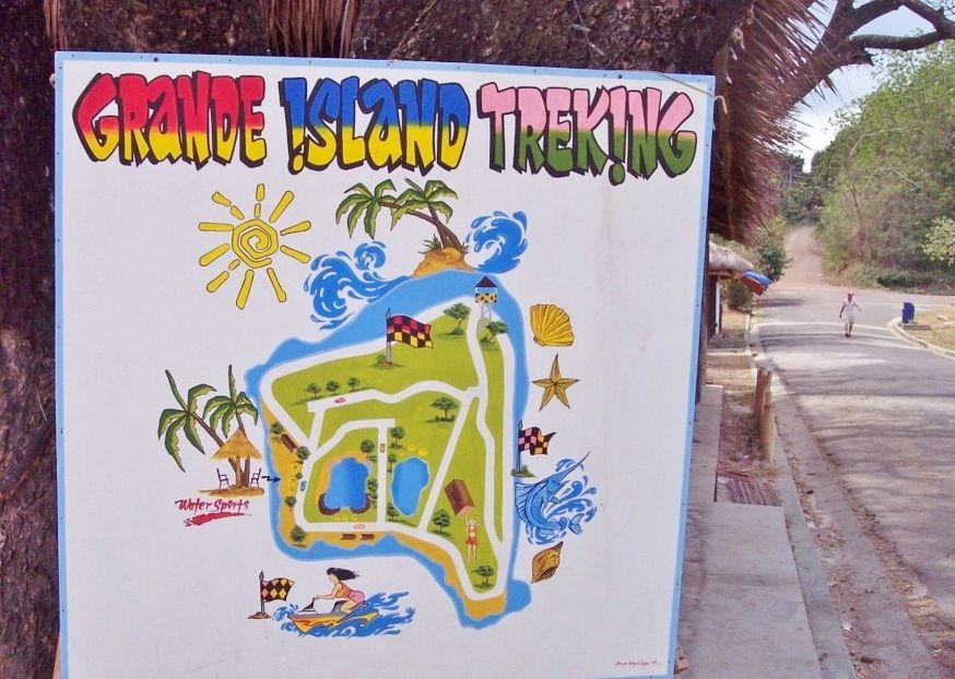
Hi Karl, It is interesting to see your photos of Grande Island. I had seen a few of them at your house but did not realize you had so many. There seems to have been a big explosion in the amount of vegetation on the island today when compared to your 2004 visit. I wish I had that 1980s Navy map with me when I made my day trip. Using only the old Army maps is confusing. Some of those paths are not being used anymore and are now overgrown. The Resort does not have an island map and for some reason seem to totally ignore the history there. I was surprised to see your photo of the machine gun barrel at Battery Jewell. I came across another photo of it awhile ago. 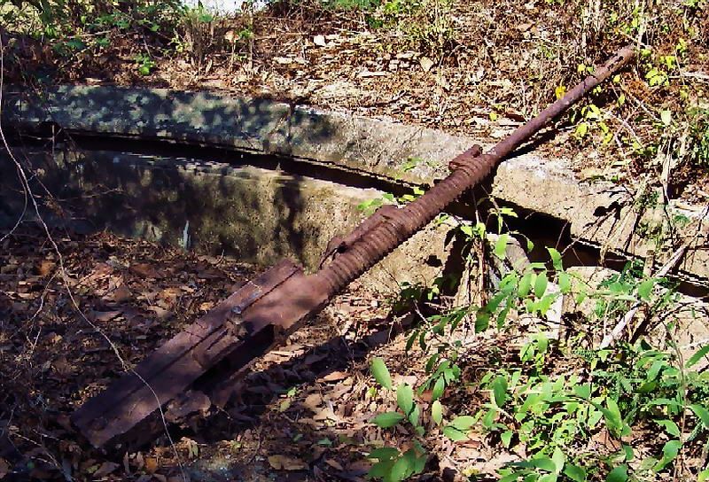 Karl's 2004 photo of the gun barrel. 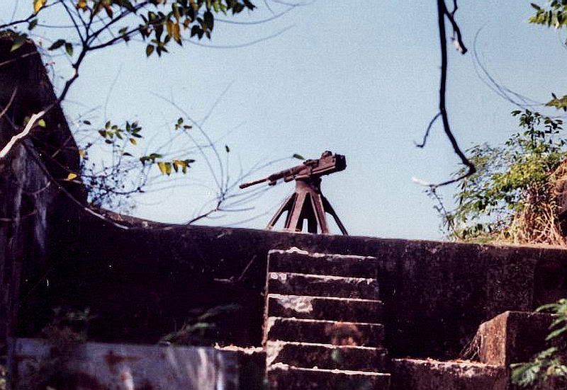 1970s photo of Battery Jewell Gun position #3 with a mounted machine gun. (obviously not the original 3-inch rapid fire gun). Photo from www.subicbaypi.com/grande_photo70.htm |
|
|
|
Post by Karl Welteke on Jun 20, 2011 17:28:32 GMT 8
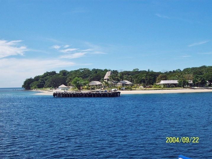
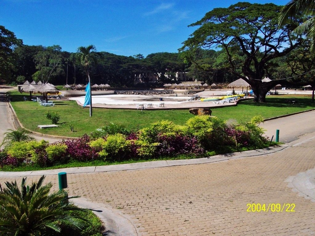
Yea John, I got many more images, but you know about my problem with Kodak. I’ll have them all shifted around in a week. Yea, I love that Navy graph of the island layout. You know the Army, they like cross country stuff when we are ashore we need roads and trails, he, he.. Army-Navy remnants 2004-09-22 second visit This is the 2nd out 4 albums from the 22 Sep 2004 2nd visit to Grande Island. I had original posted the images on my Kodak account but they don’t let me post them on the bulletin boards anymore, so I’m finally getting around in shifting the images to a friendlier account. This album is about all the Army-Navy remnants on the island. On my 3rd visit I found more but it will be posted later: s74.photobucket.com/albums/i265/PI-Sailor/Manila%20Bay%20Forts-Other/Fort%20Wint%20and%20Grande%20Island/Army-Navy%20remnants%202004-09-22/Here is the Fort Wint Battle Commnad Station (circled 'C' on the Army map) 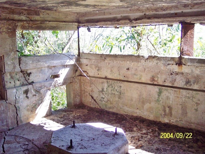 |
|
|
|
Post by Karl Welteke on Jun 21, 2011 14:46:04 GMT 8
|
|
|
|
Post by Karl Welteke on Jun 21, 2011 18:01:43 GMT 8
|
|
|
|
Post by Karl Welteke on Jun 23, 2011 10:44:08 GMT 8
Grande Island, ex Fort Wint detailed images, 167 images of military remnants. On the 27th and 28th Feb. 2006 I visited Grande Island together with the Coastal Defense Study Group (CDSG) and took pictures of course. This album covers only the military remnants one is still able to see of this date and I consider this a detailed look. It has maps to help you. All images have titles and or descriptions: s74.photobucket.com/albums/i265/PI-Sailor/Manila%20Bay%20Forts-Other/Fort%20Wint%20and%20Grande%20Island/Ft-Wint%20Details%202006-02-27%20w%20CDSG/#!cpZZ1QQtppZZ28 The dates on the pictures are not correct, because I couldn't operate the camera menu, they were shot in Feb 2006. Here is an image of one of the four coal bins for the ex Army power plant: 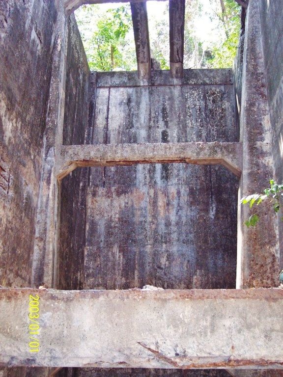 |
|
|
|
Post by Karl Welteke on Jun 23, 2011 16:48:25 GMT 8
|
|
|
|
Post by okla on Jun 23, 2011 22:23:35 GMT 8
Hey Karl....Good stuff. Thanks for posting. As I have said in the past, Fort Wint has long been overlooked and derserves some "exposure". This little bastion may not be as famous as her sisters down at Manila Bay, but she served with honor just as did they. Thanks again for giving Fort Wint her just derserts. Cheers.
|
|
|
|
Post by fots2 on Jun 24, 2011 13:54:35 GMT 8
okla, that island was well worth a visit. I agree that it has its place in history.
The maps and photos you posted are very good Karl, very complete for sure.
One note for visitors, the trekking map is not very accurate though. A least two paths (old roads) are not being used anymore and are grown up.
|
|