|
|
Post by victor on Jan 11, 2009 21:22:56 GMT 8
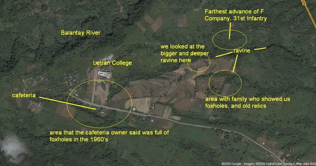
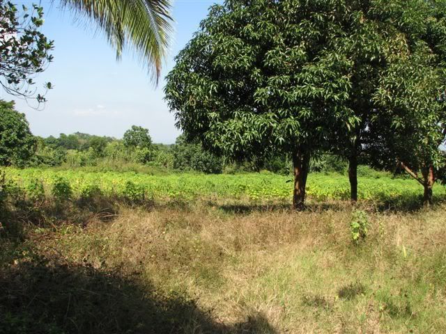
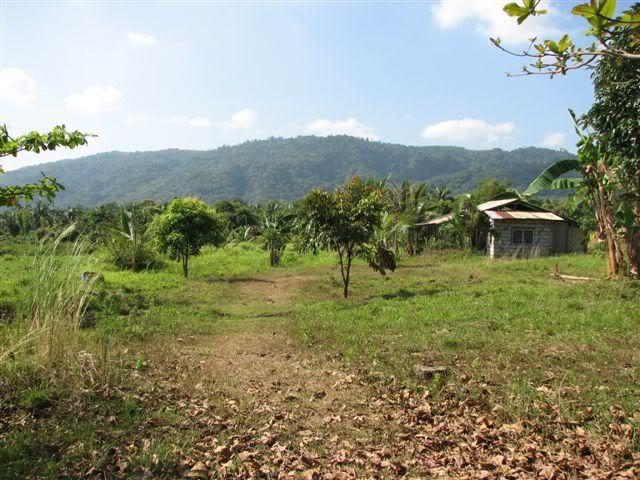
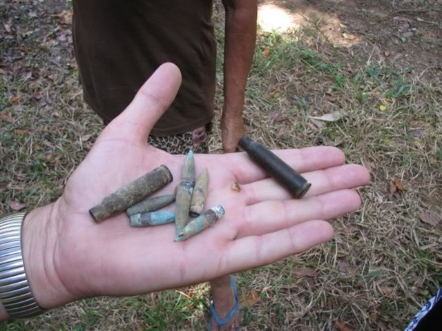
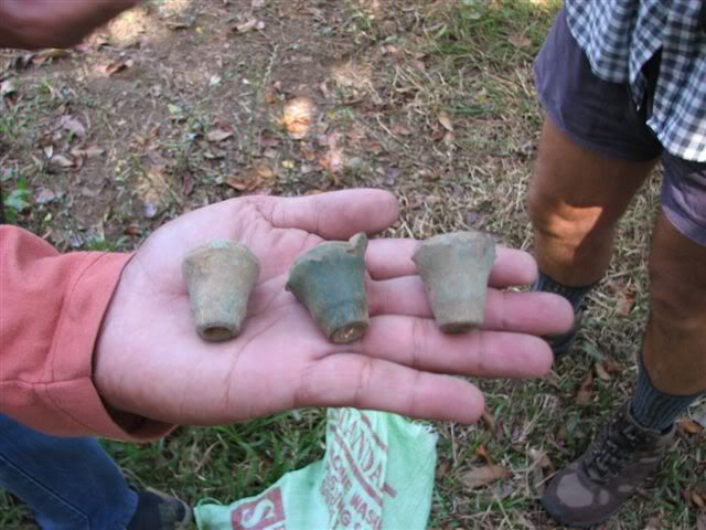
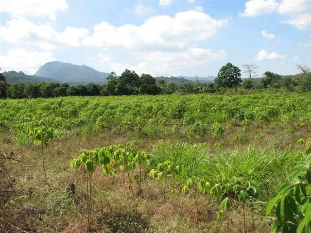
Me too I'd rather not have the battlefield disturbed. I don't think too many people know that the place is a battlefield. Only people like us and maybe some history professors somewhere know. The hacienda area by its nature changes a lot, they grow orchards and plant crops so it's never the same. However I think what stays the same would be the "outskirts" of the farmed area and the Balantay river area where ravines and steep slopes are. I'm sure if one goes there with a metal detector one would find a lot of undisturbed artifacts.
I totally agree, there should be a monument/marker in the area. I guess the first step is to educate people about the site and the battle there.
|
|
|
|
Post by victor on Jan 22, 2009 23:52:14 GMT 8
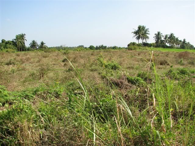
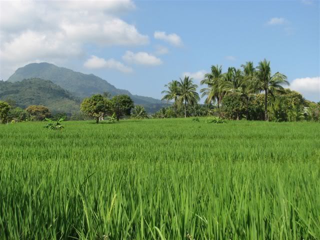
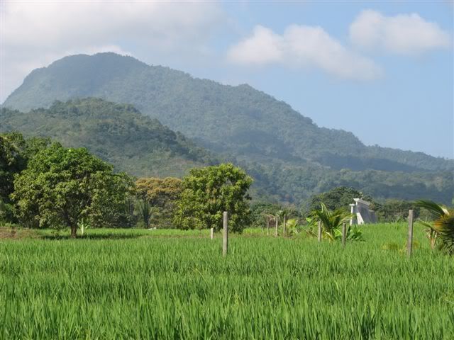
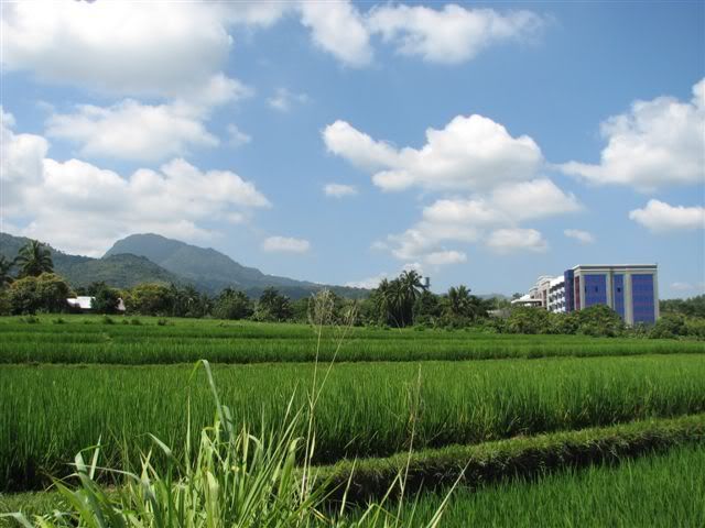
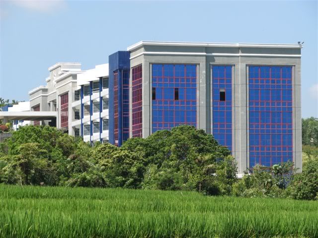
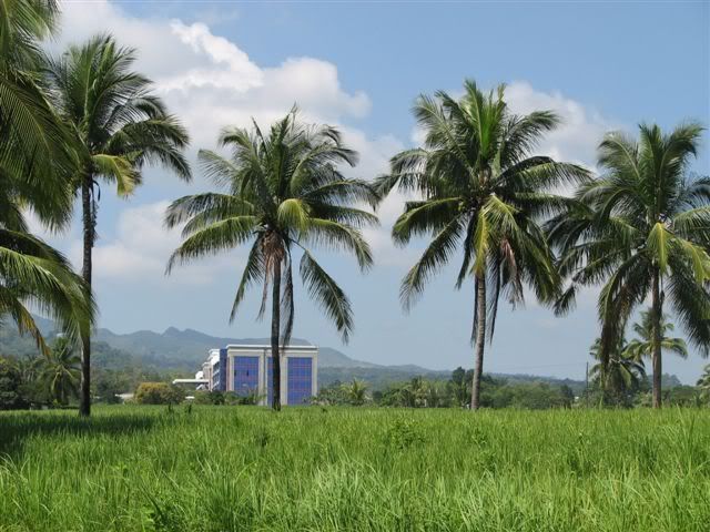
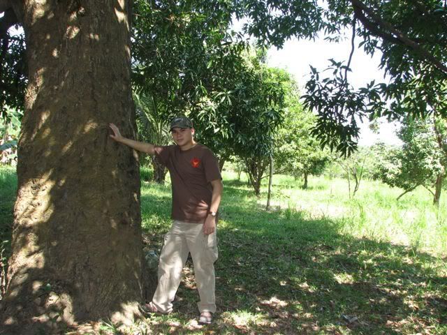
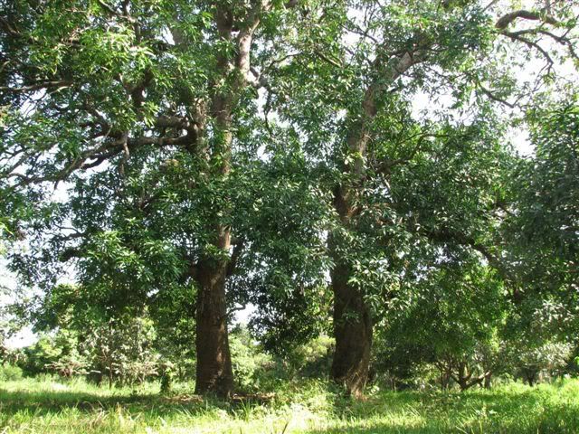
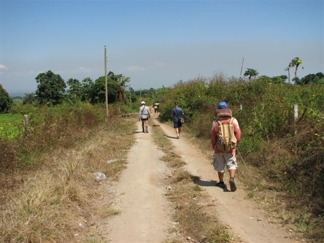
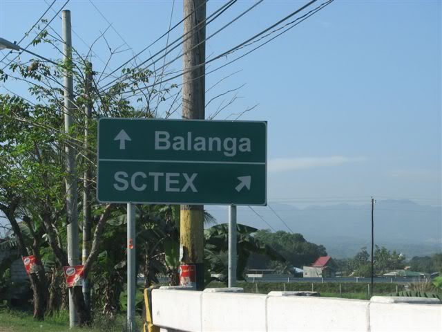
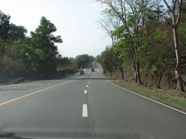
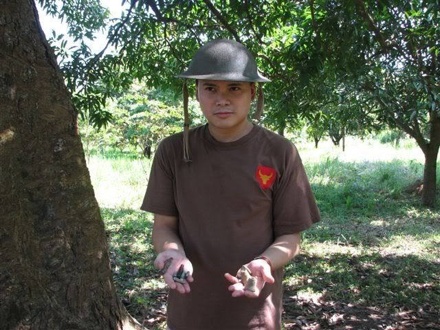
I've been doing some research/internet recon on the Abucay Hacienda area. I'm planning a trip there in a couple of weeks. Last night I was cross checking hand drawn maps, existing photos, satellite images, and descriptions of the battle that took place there. I've been raring to go back since my trip to Mabatang in Dec. 2007.
I was also checking out the recent pictures Karl had sent me from his recent hiking/scouting report of the area.
As I thumbed through the 45th Infantry PS casualty list, I came across the Scout who had the same first and last name as mine. I saw it before and knew he was KIA in Abucay Hacienda, but this time I noticed the date that he was reported KIA. It was January 21st, 1942. Then I looked up at the calendar and realized it was January 21st. ooooh...
I looked him up at the American Cemetery at Fort Bonifacio in Dec. 2007 but he didn't have a marker. He was KIA and body was never found so he only had his name etched on the wall. He's probably still out there in Abucay somewhere.
|
|
|
|
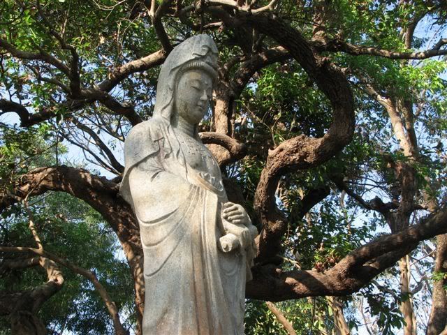
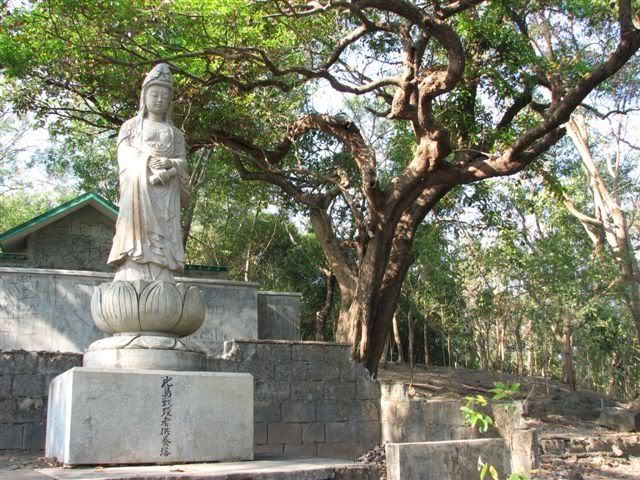
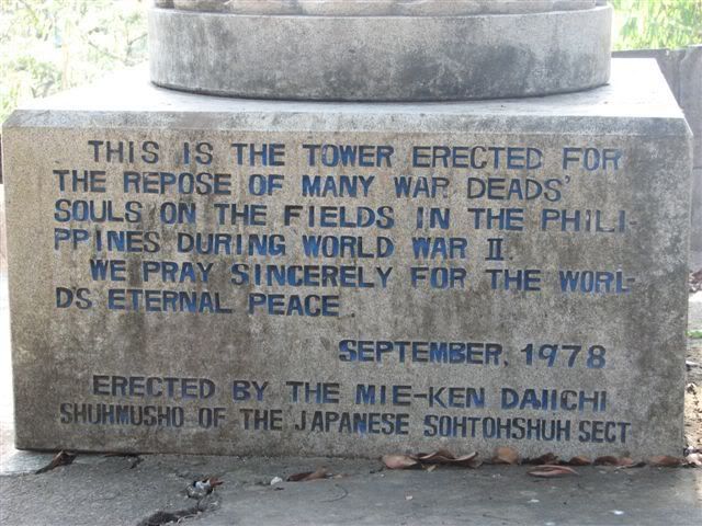
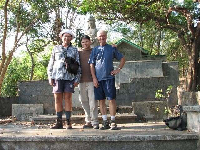
Post by Karl Welteke on Jan 28, 2009 17:29:49 GMT 8
|
|
|
|
Post by okla on Jan 29, 2009 0:44:03 GMT 8
hey karl...great stuff as usual. i mentioned to vic that i really envied him in the fact that he would actually be on the ground at the actual location of this almost unknown battle. photos like the ones you furnish enable folks like me to enjoy the next best thing...getting to view shots taken by somebody with a deep interest in this theatre of early world war II. the action at the abucay line is minute when compared to the big picture, but it, to me, is significant in the fact that it wasnt just one more "delaying action". the fil/american troops were finished with withdrawing day after day after lingayen and it was now "us against them" in a stand up, knock down fight. for me, getting to view the actual ground where this and other fights took place will quench my thirst for info on the bataan-corregidor campaign. no military history books will have photos of isolated areas such as the ones you so generously post on this site. i can view these pics and this old 76 year old imagination takes off. keep up the great work.
|
|
|
|
Post by victor on Feb 22, 2009 10:31:13 GMT 8
|
|
|
|
Post by victor on Feb 22, 2009 10:32:04 GMT 8
|
|
|
|
Post by victor on Feb 22, 2009 10:33:48 GMT 8
Here's a little tribute video I shot and edited.
The direct link to the bigger version:
|
|
|
|
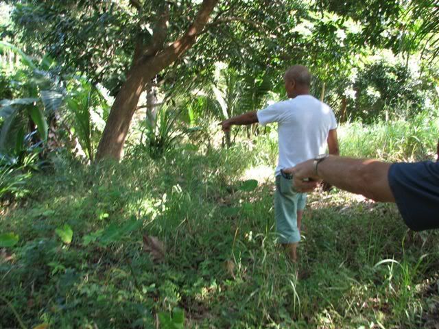
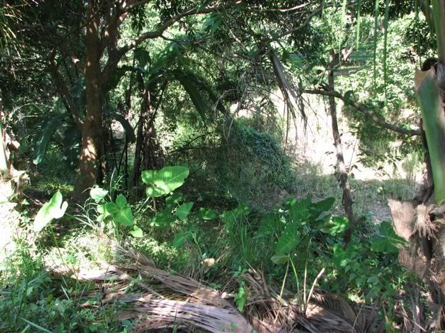
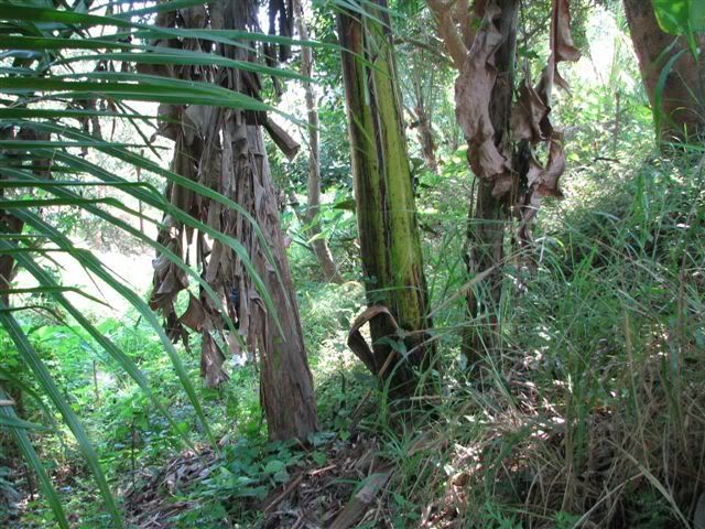
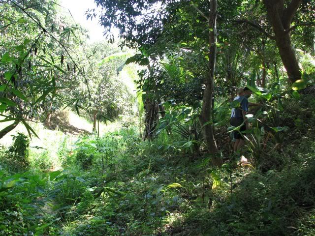
Post by chadhill on Oct 3, 2010 7:19:40 GMT 8
|
|
|
|
Post by okla on Oct 3, 2010 8:25:38 GMT 8
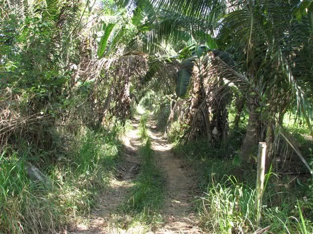
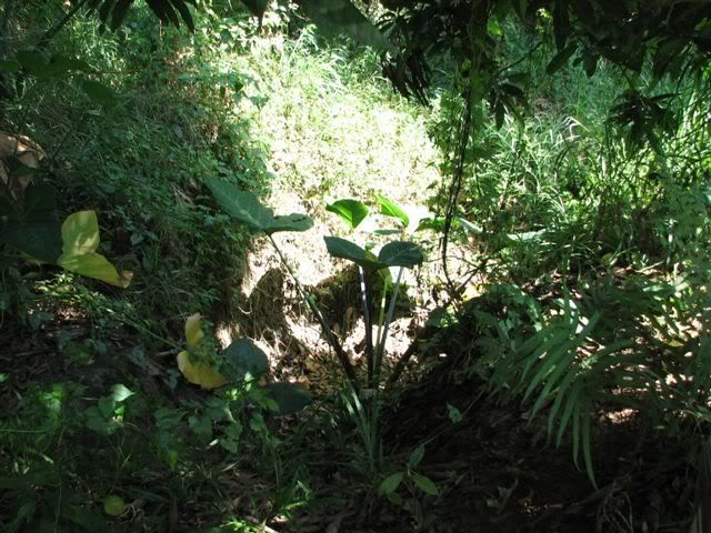
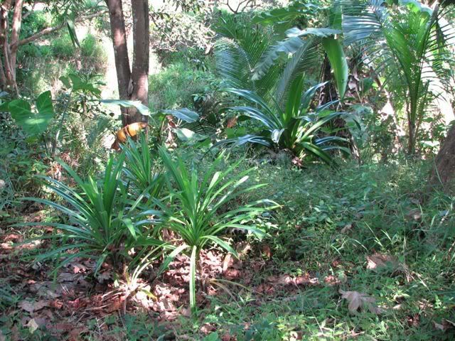
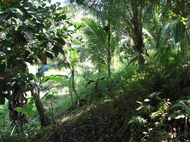
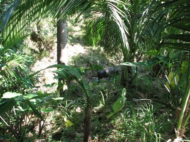
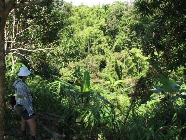
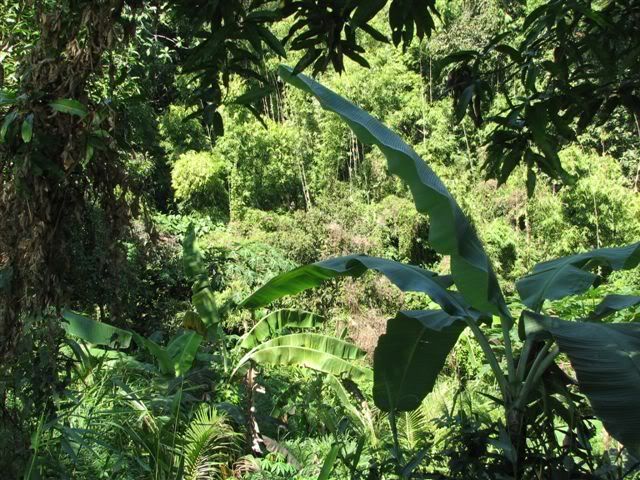
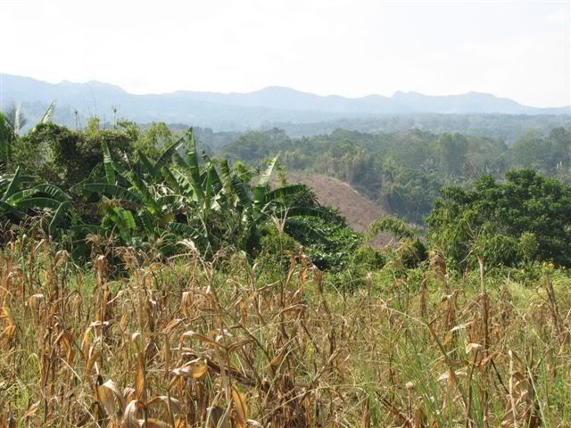
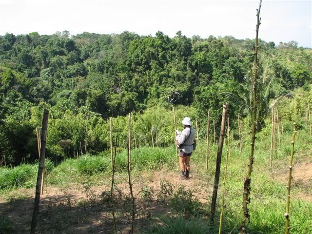
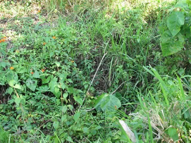
Hey Chad....Great pix. Yes, I would say that this is thick jungle. Tough terrain for Infantry fighting and out of the question for armored vehicles. I wonder if any of this undergrowth has been cleared over the years. As I understand it, the terrain in the "Pockets" area, just south of the cross peninsula "Hiway", has been cleared in some areas and the exact location(s) of the Japanese infiltrator's positions is very difficult to find. Did you, in your treks to Bataan, by chance scope out these old battle sites??? I have read that the undergrowth in that region negated American tank movements to the point of being virtually a non factor in the final defeat of the enemy.
|
|
|
|
Post by chadhill on Oct 3, 2010 22:48:02 GMT 8
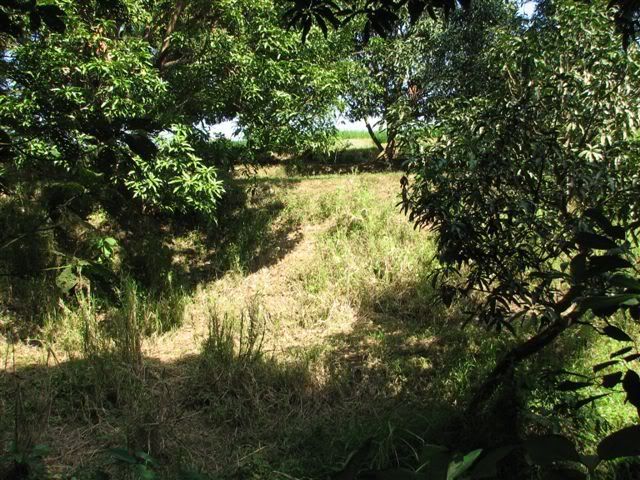
Okla, I'm with you, I don't see how tanks could accomplish much in that setting. While I wandered about Corregidor with near carefree abandon in the mid-80s (never even saw a snake there during six trips), I didn't have the same comfort level when trekking about Bataan. I was a US serviceman and in those days bands of NPA (New People's Army communist guerrillas) were known to reside on the peninsula. When Marcos left, they began to appear more. So, I rarely drove off the main trails and didn't walk more than a short distance from my car. Sometimes I would get questioning looks from local farmers, too. Regrettably, I never really got more than cursory explorations of the Bataan battlefields. Here is the old deteriorating Tuol Pocket marker as seen in 1986, a short distance off the Bagac-Pilar road and near Trail 7, I believe. Edna Binkowski helped to have it restored recently.  Near the Tuol Pocket marker was this southward path. Trail 7?  A few hundred yards down the trail, and I was in a clearing overlooking the Tuol Pocket area. This was as close as I got to the site.  |
|