|
|
Post by piercebennett on Feb 15, 2017 13:20:50 GMT 8
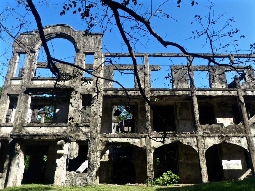
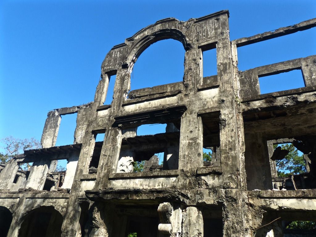
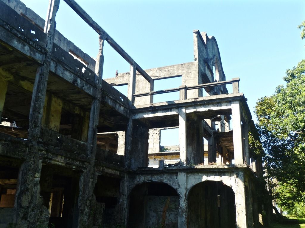
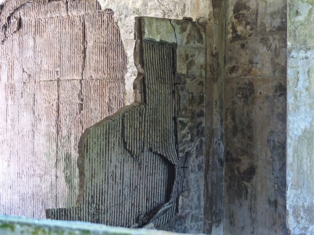
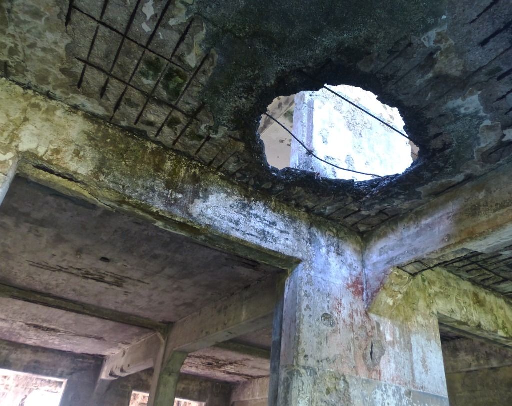
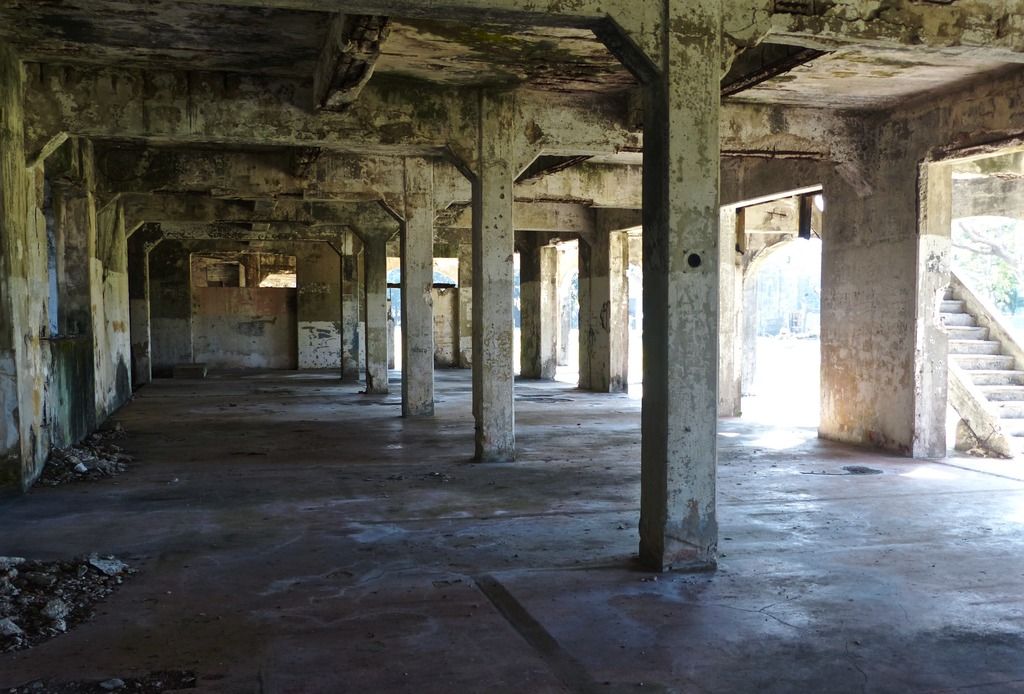
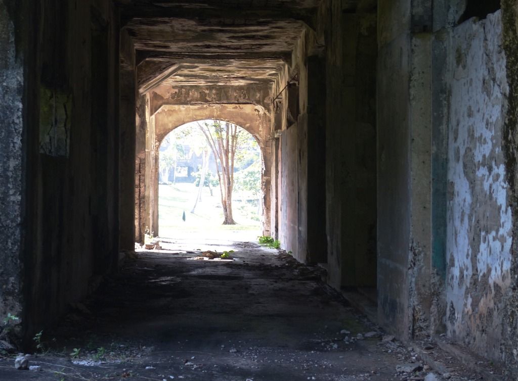
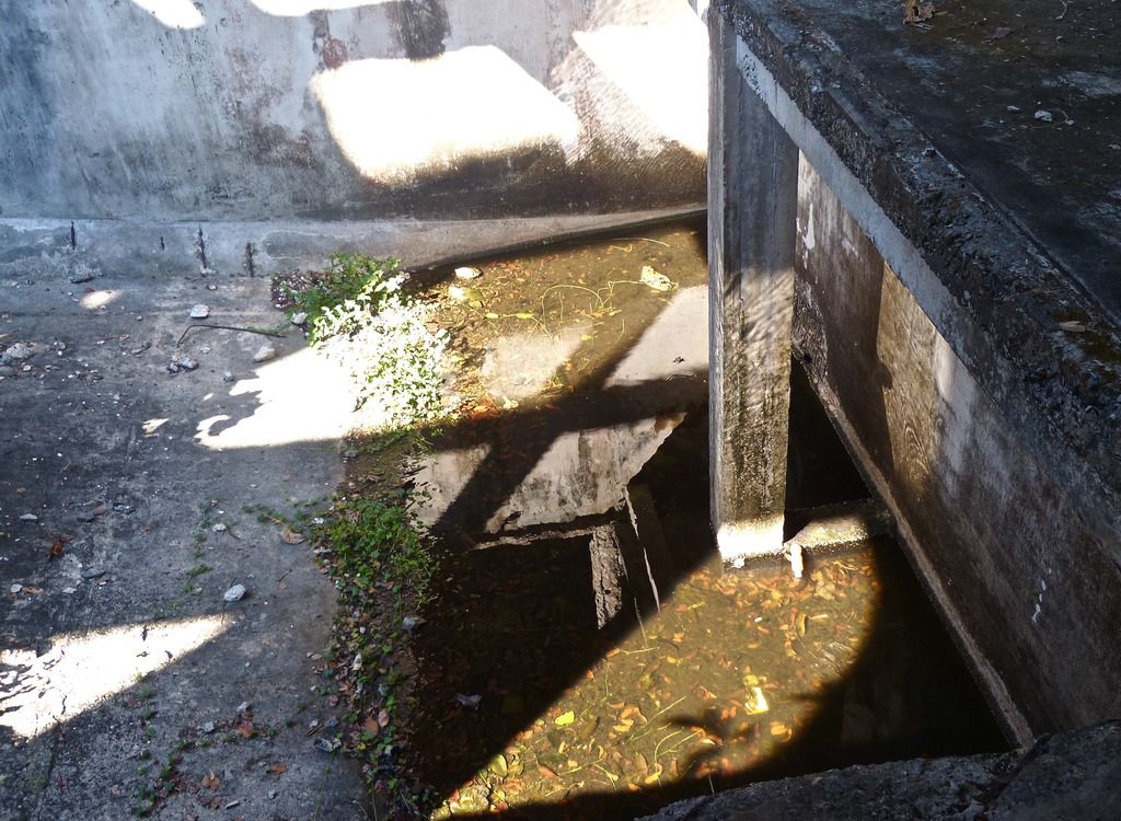
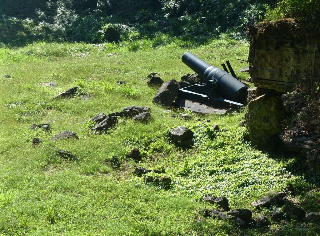
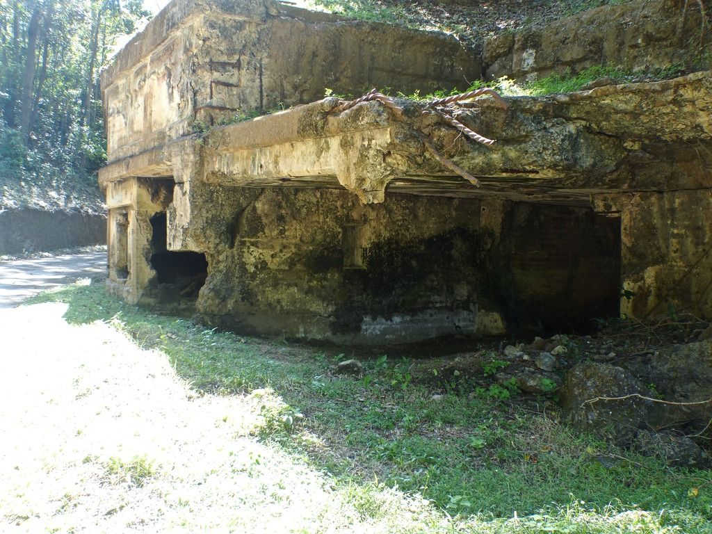
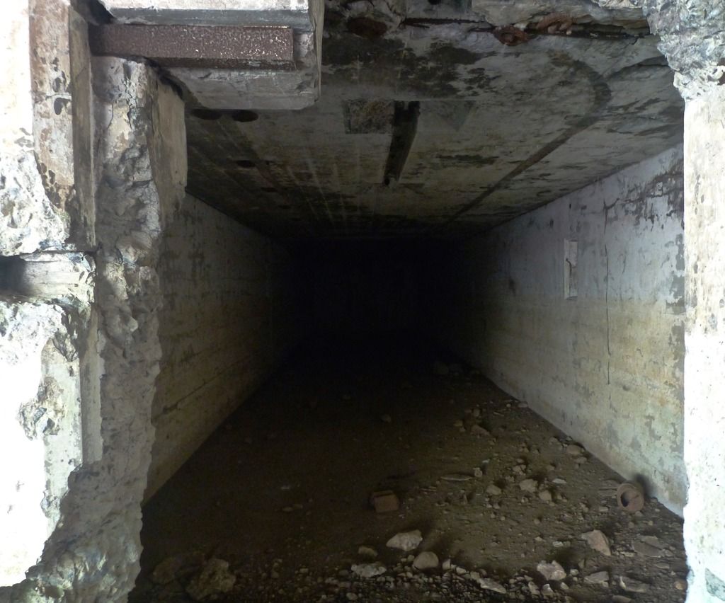
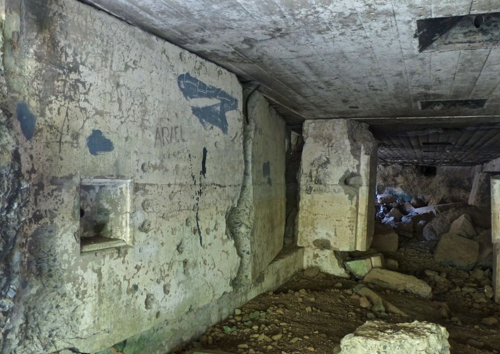
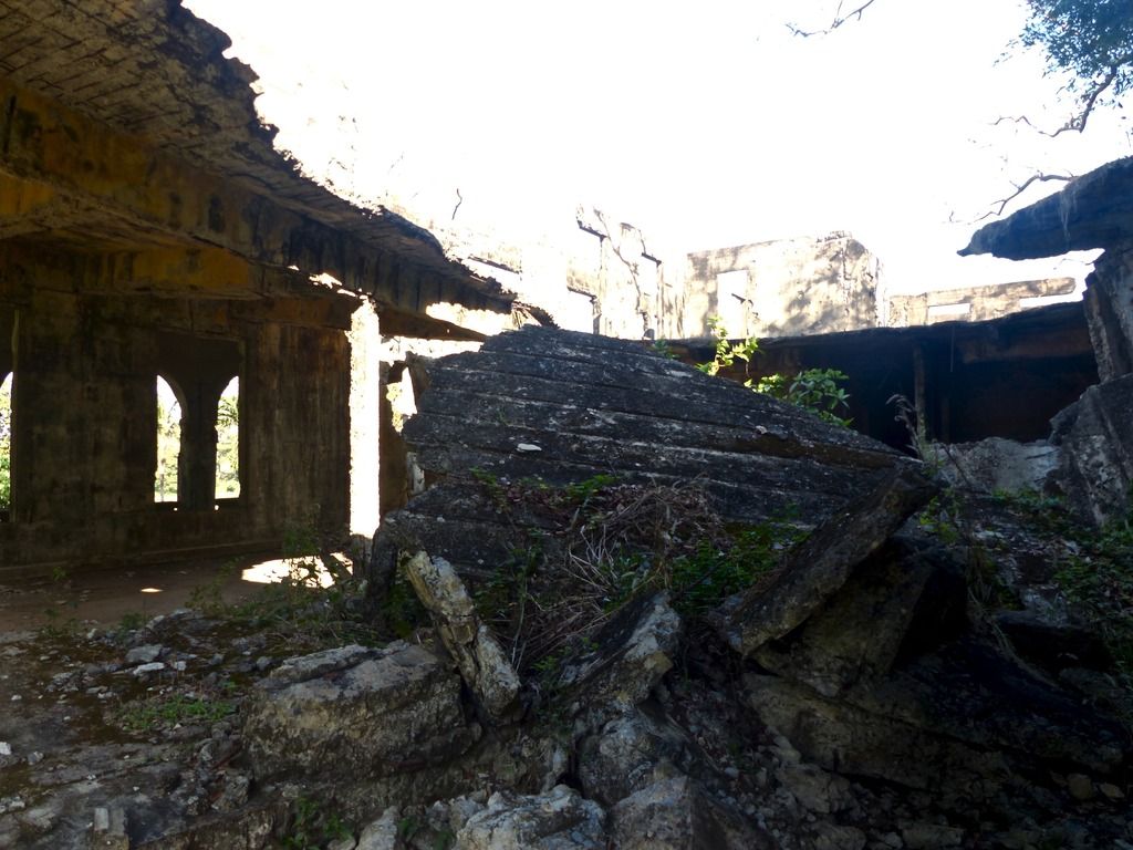
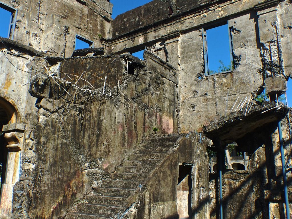
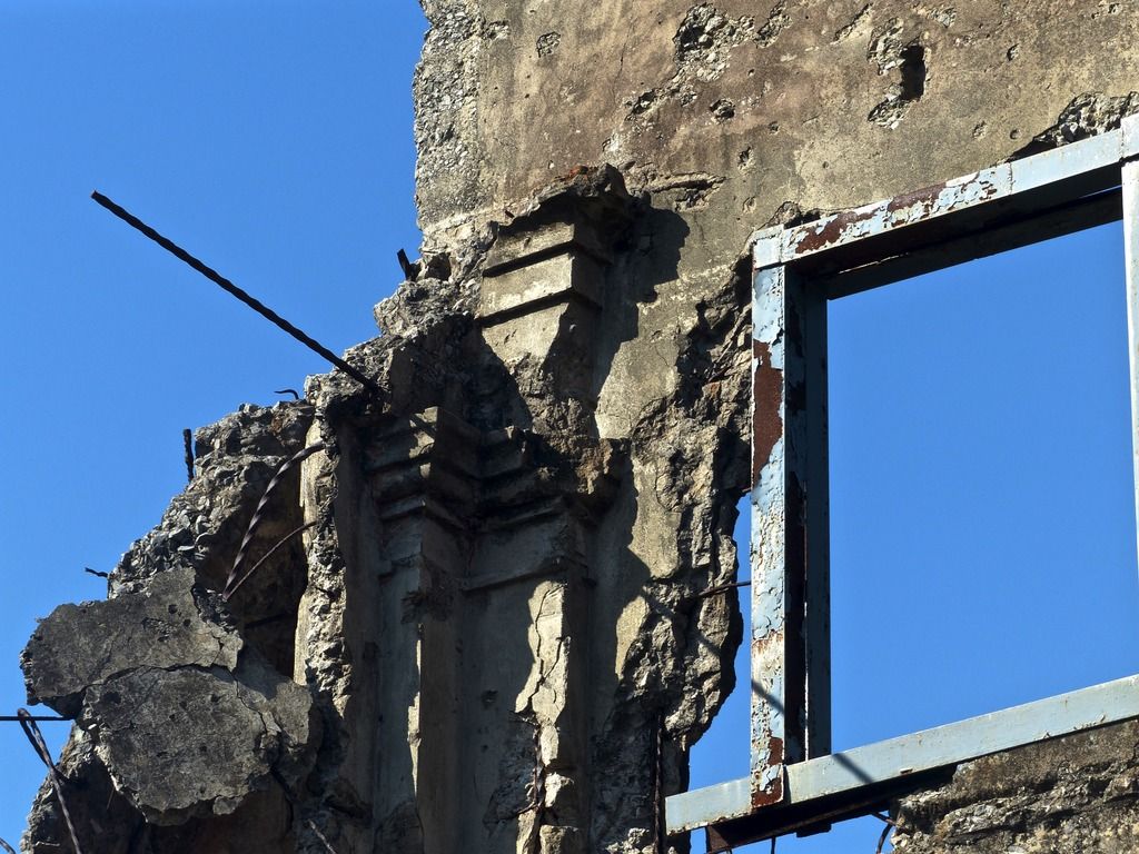
Day 10, Part 3I then headed to Battery Crockett.
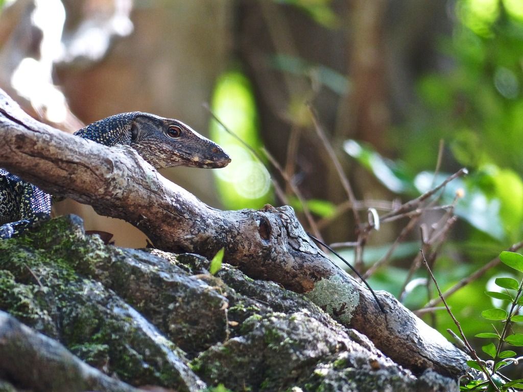
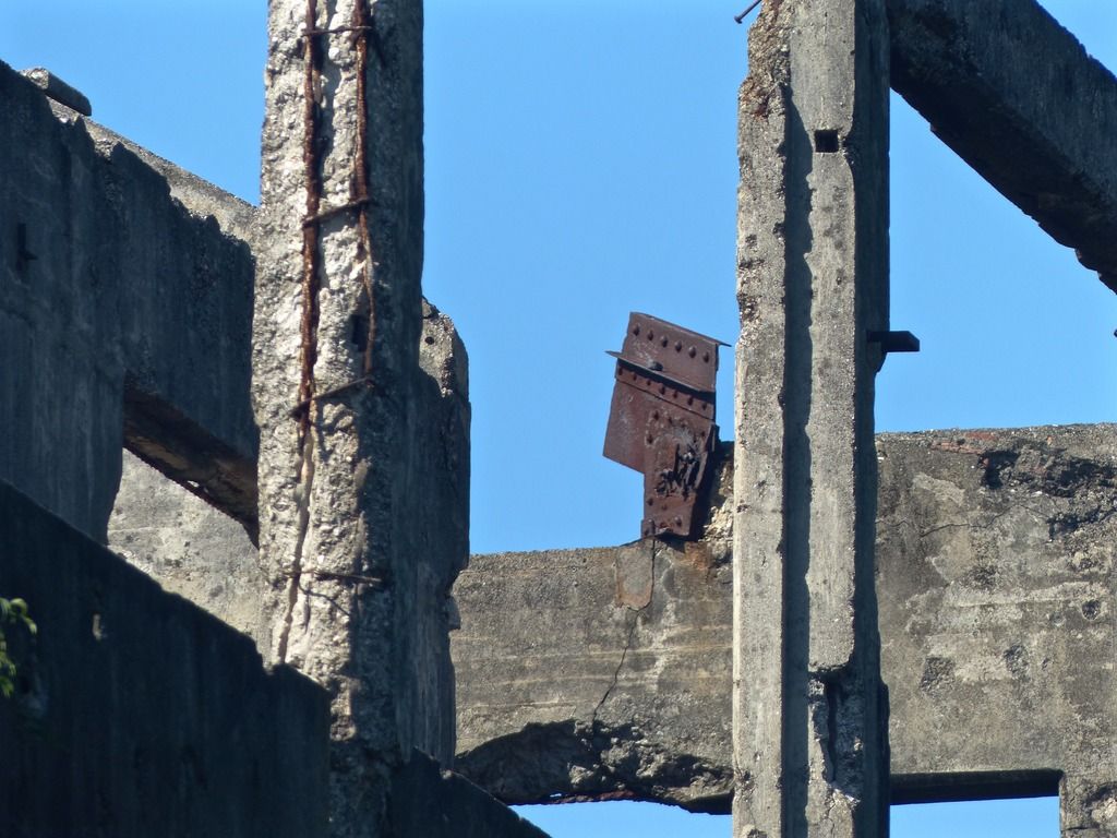
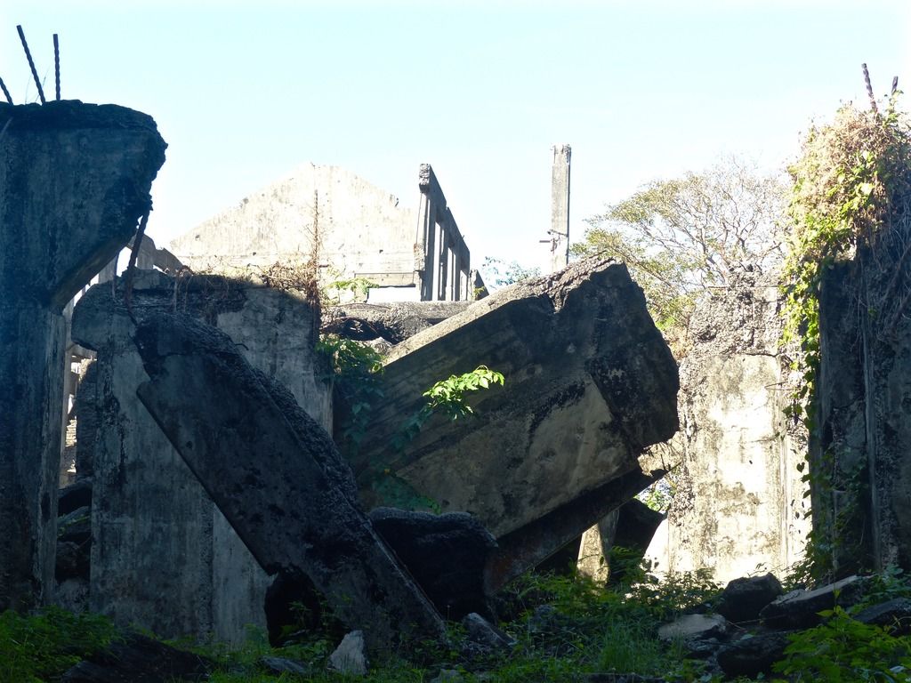
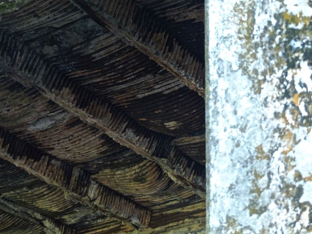
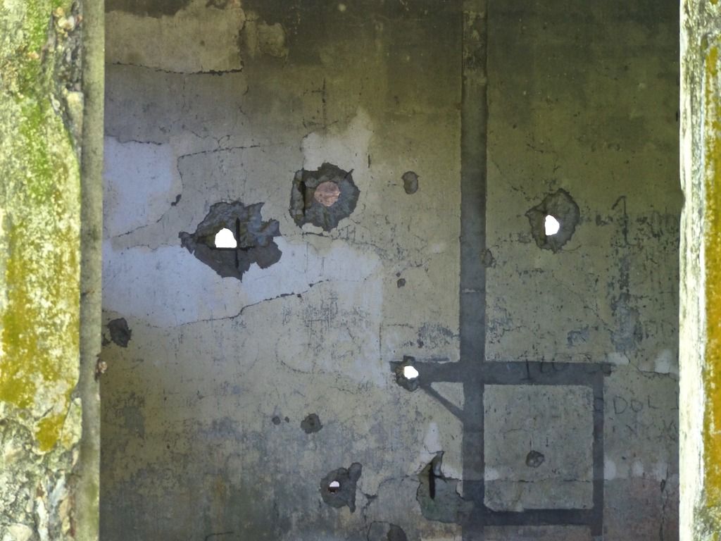
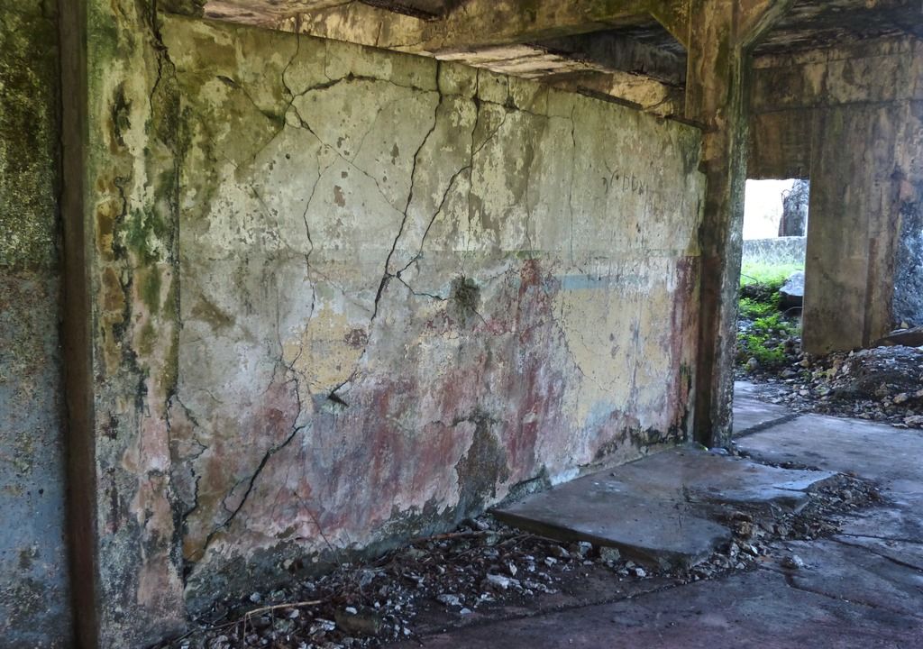
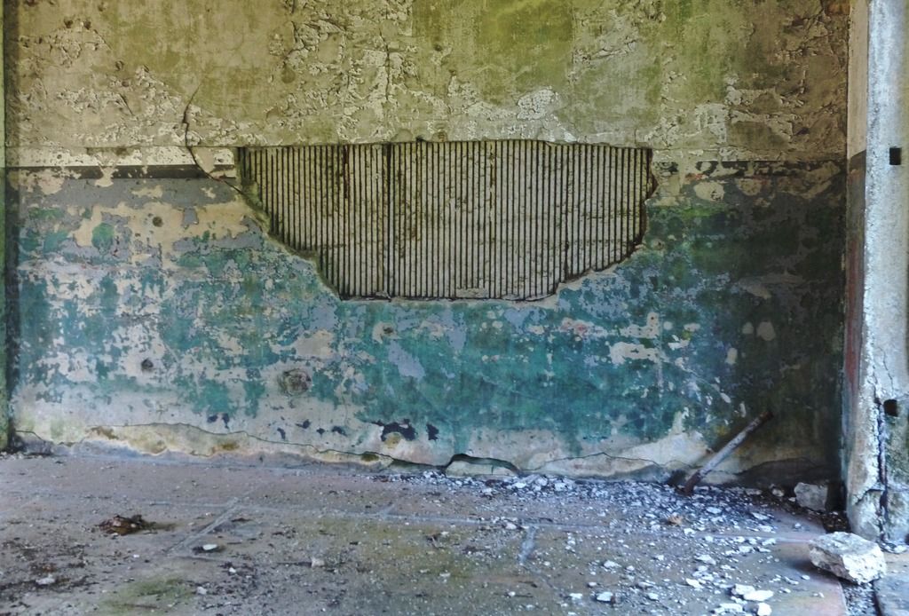
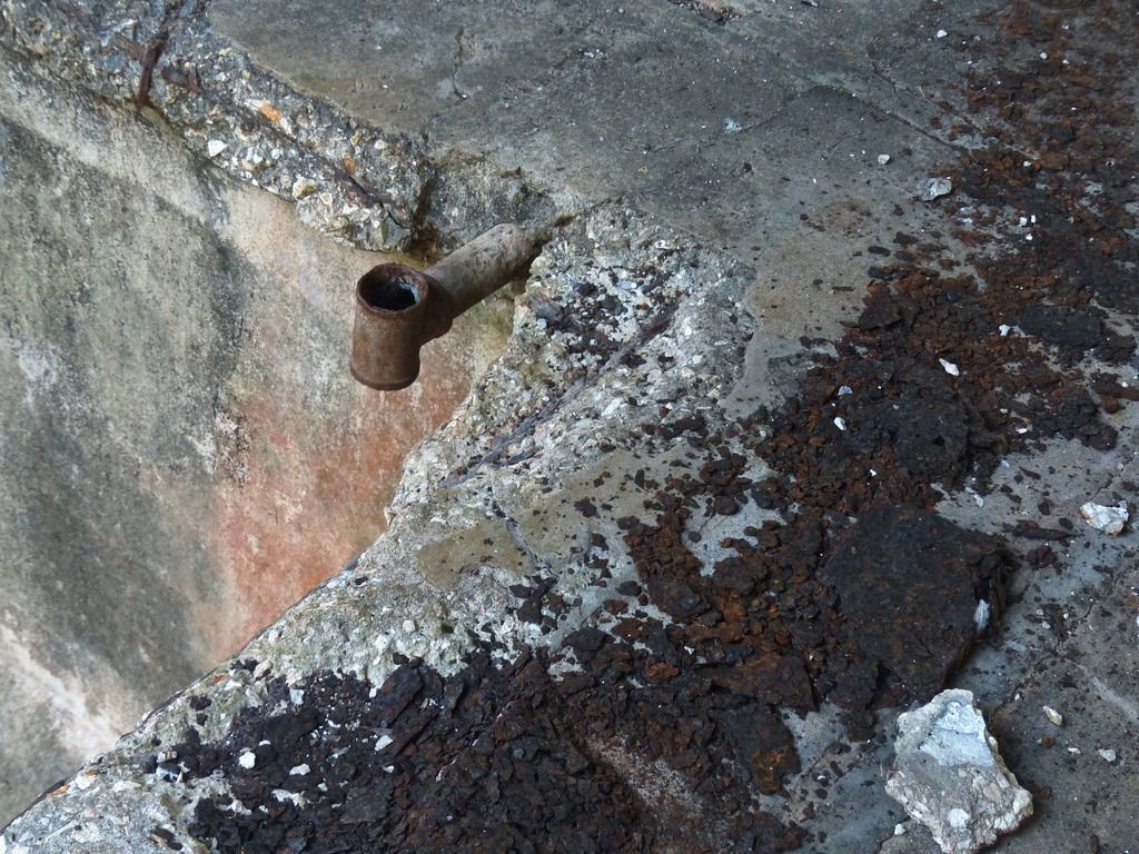
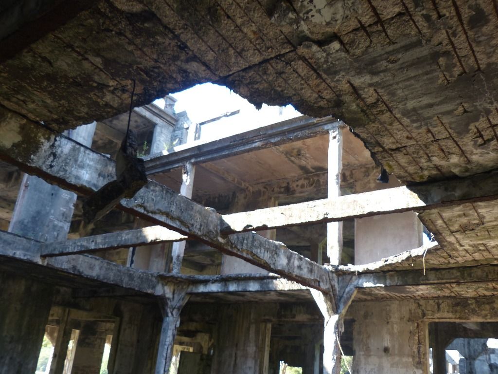
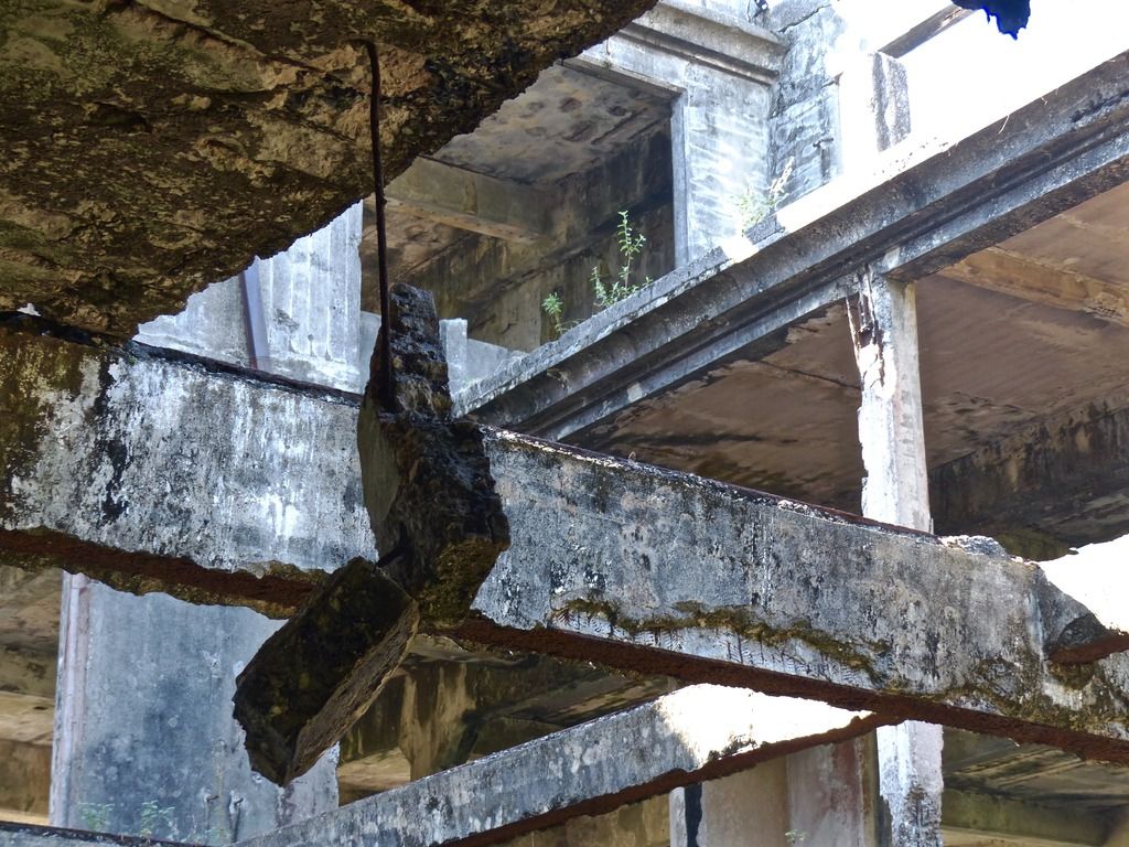
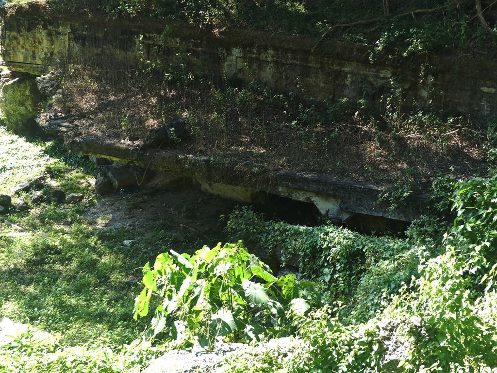
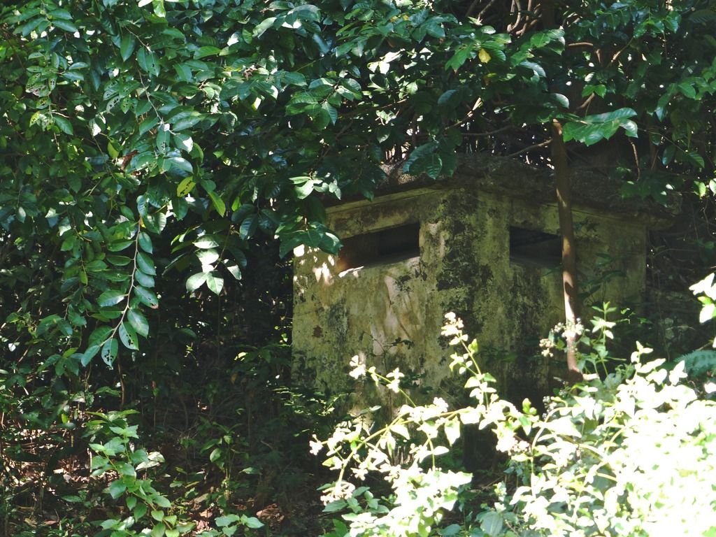
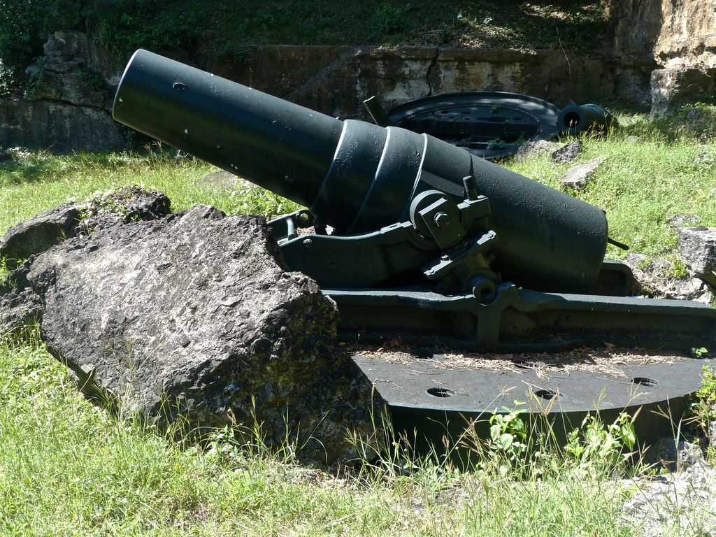
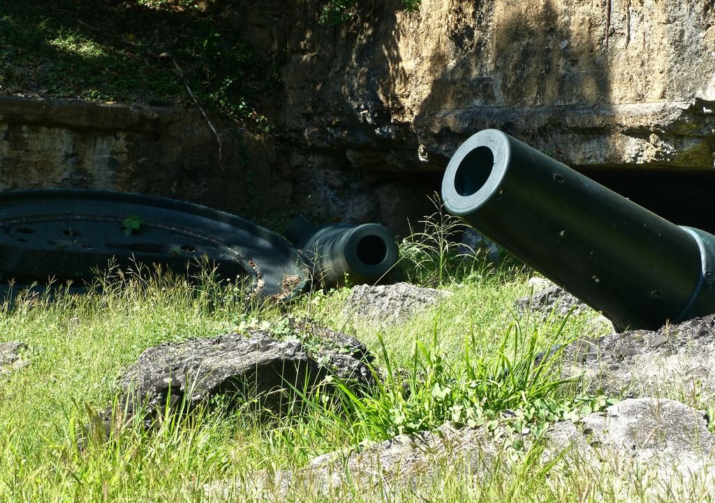
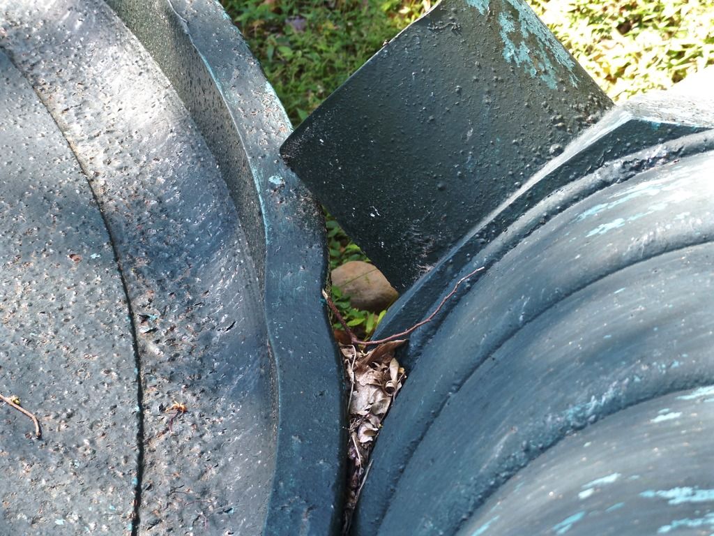
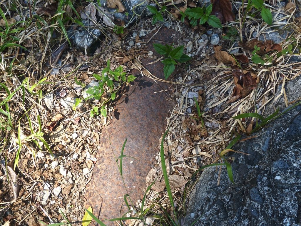
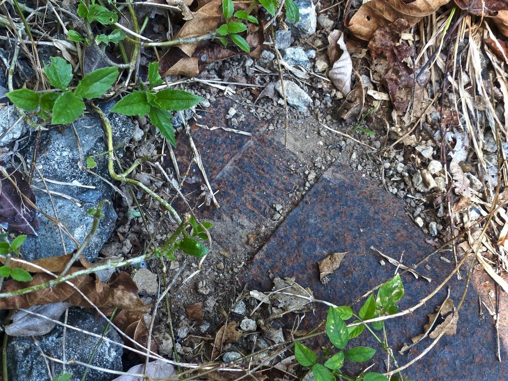
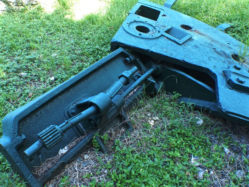
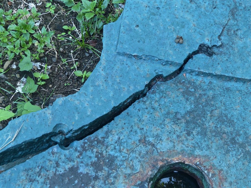
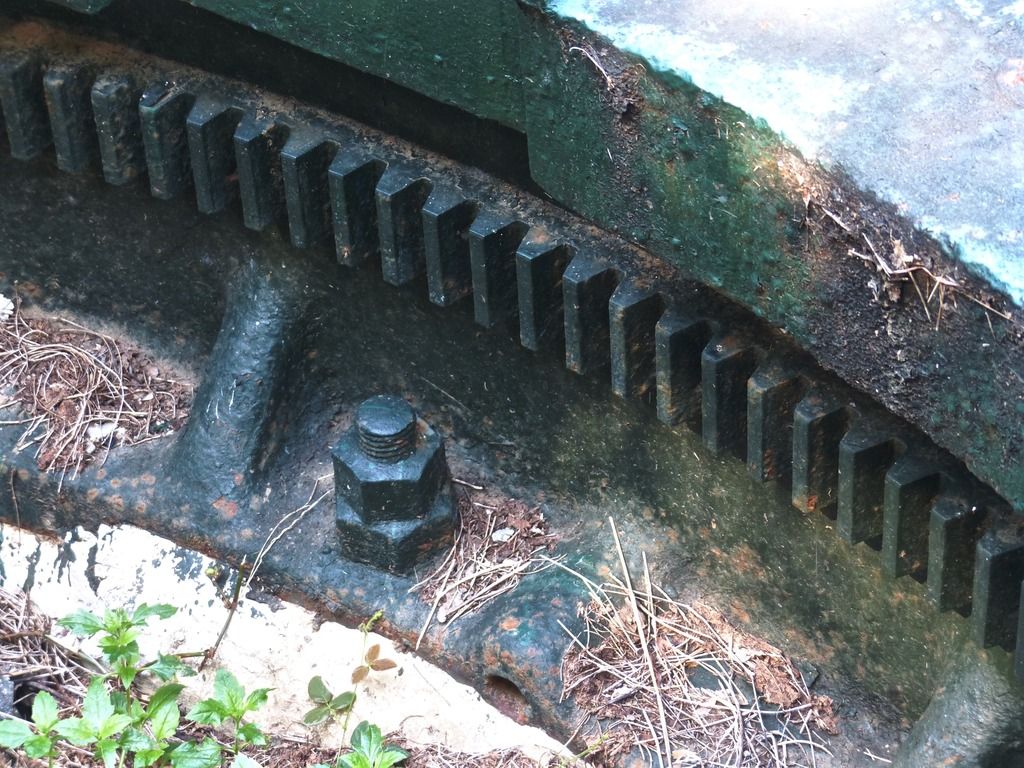
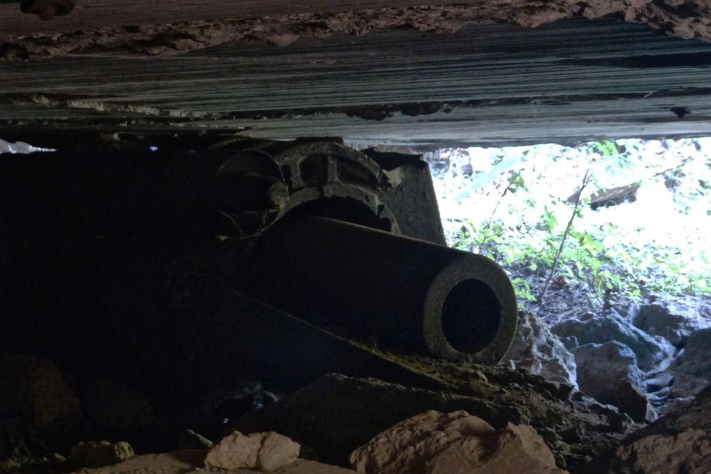
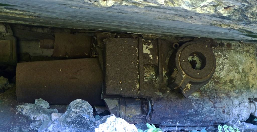
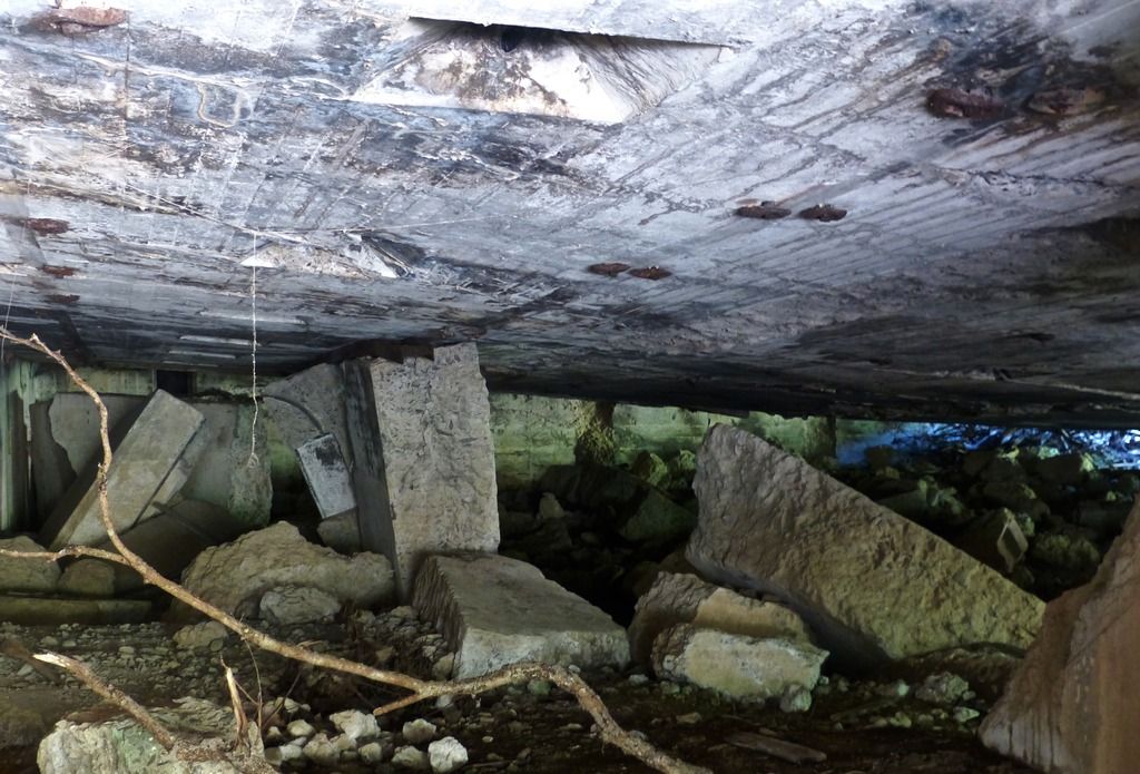
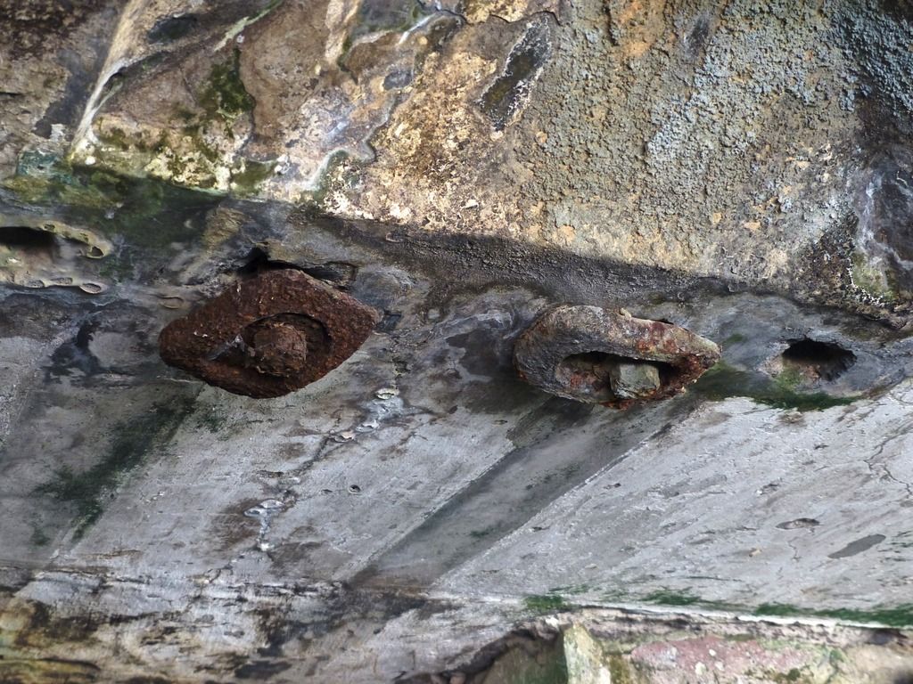
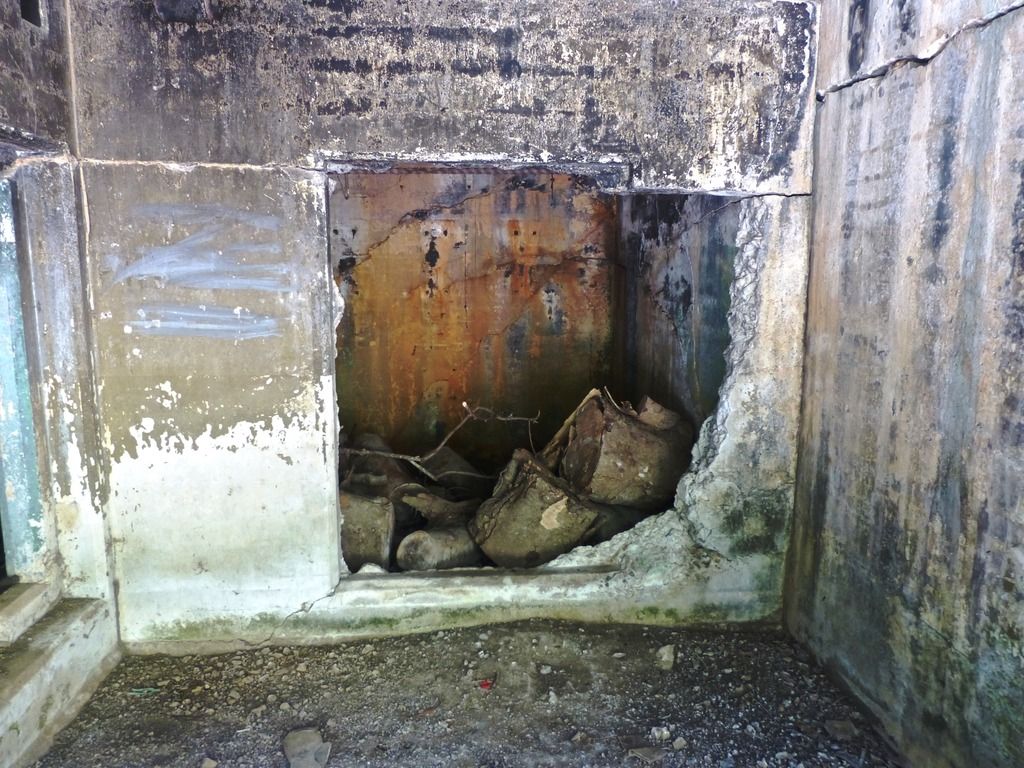
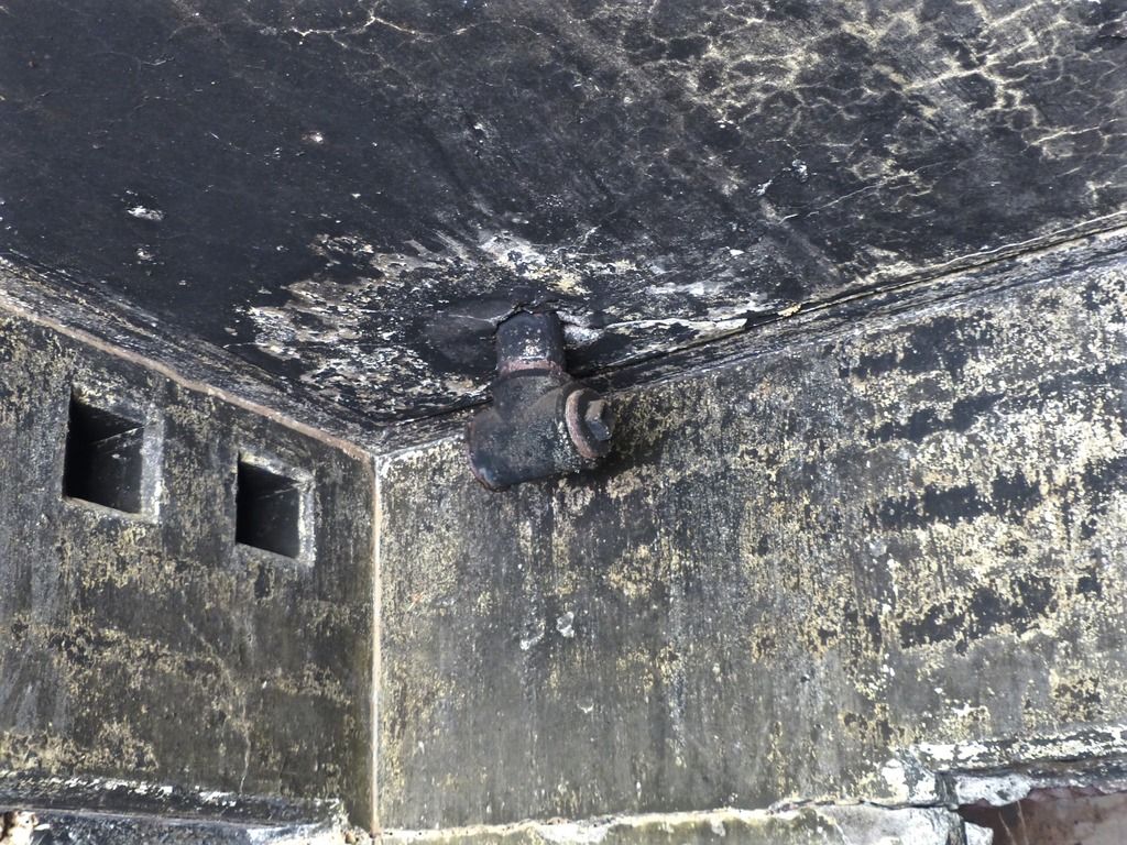
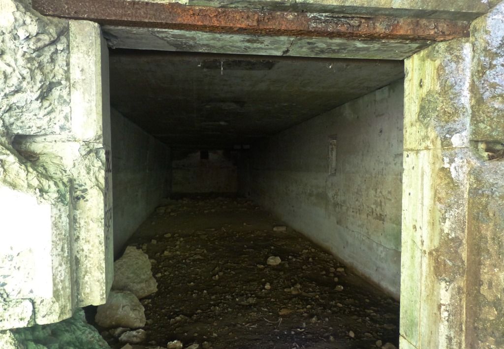
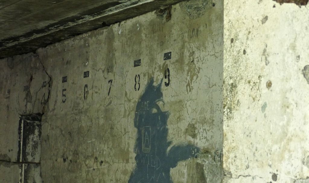
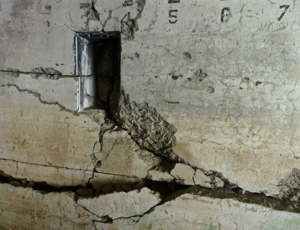
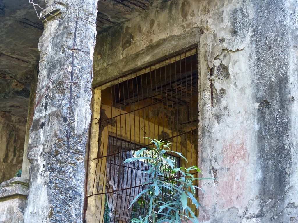
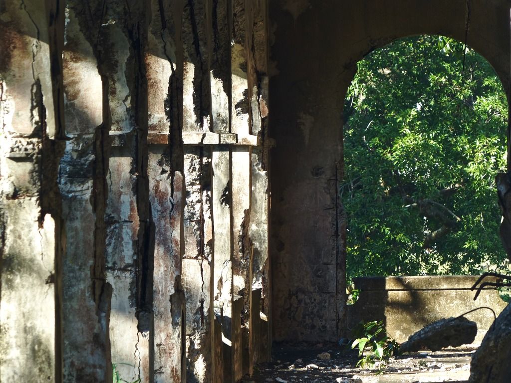
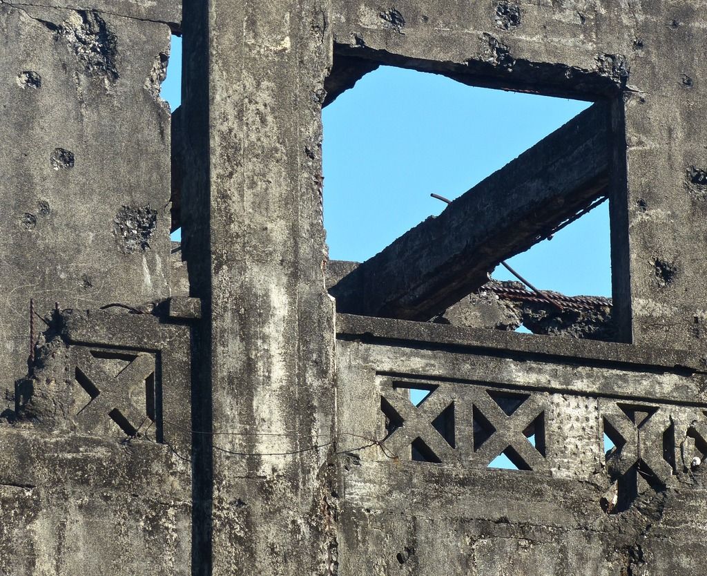
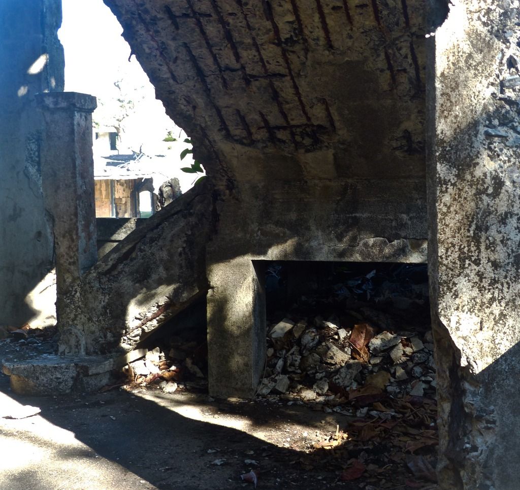
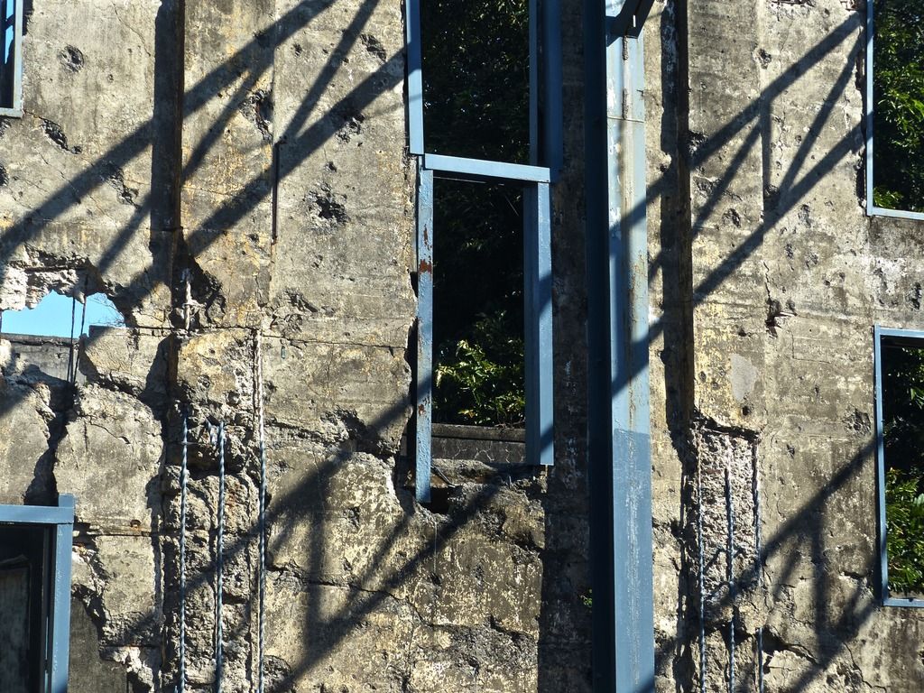
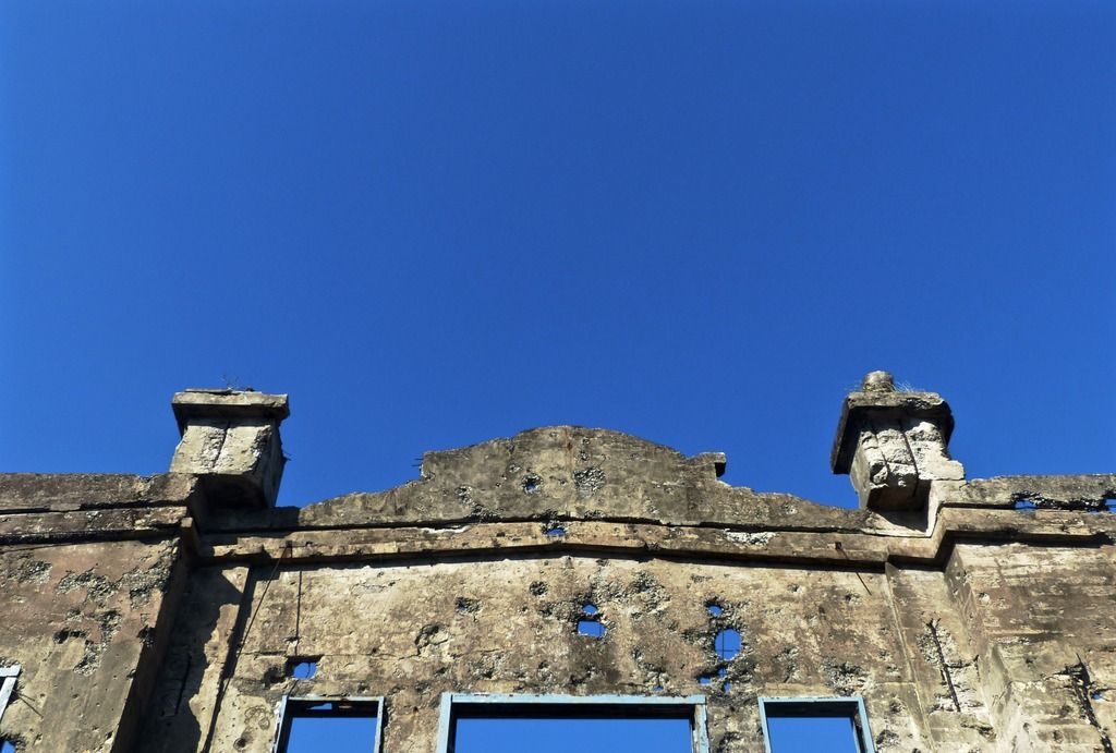
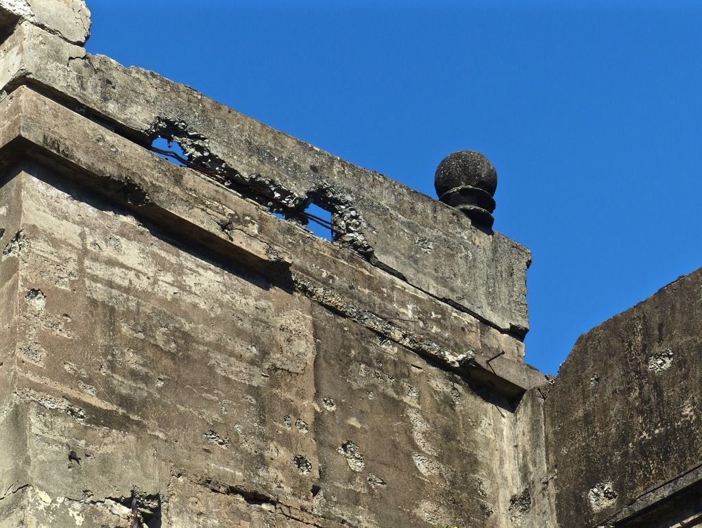
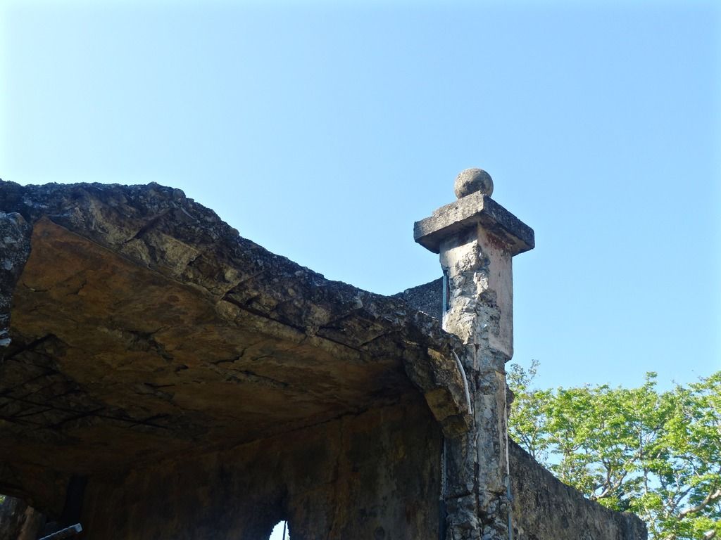
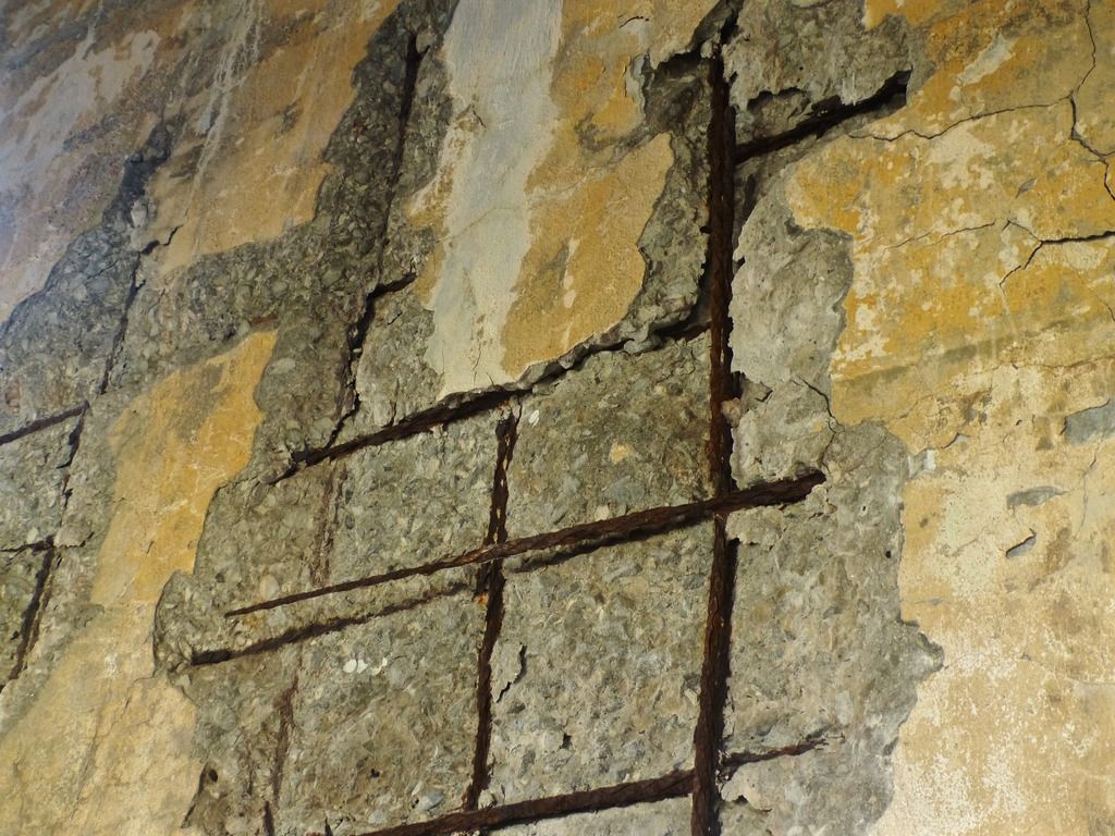
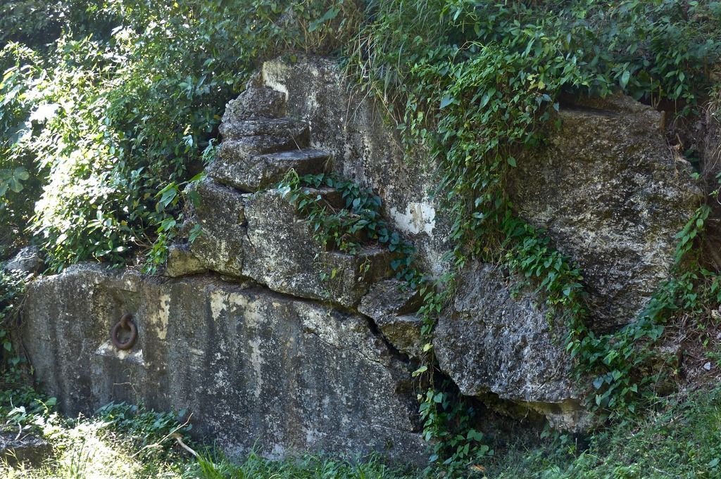 Before I left Geary, I noticed there are still some remnants of stairs and a remaining metal ring. I think this is (oddly) the first time I noticed these. 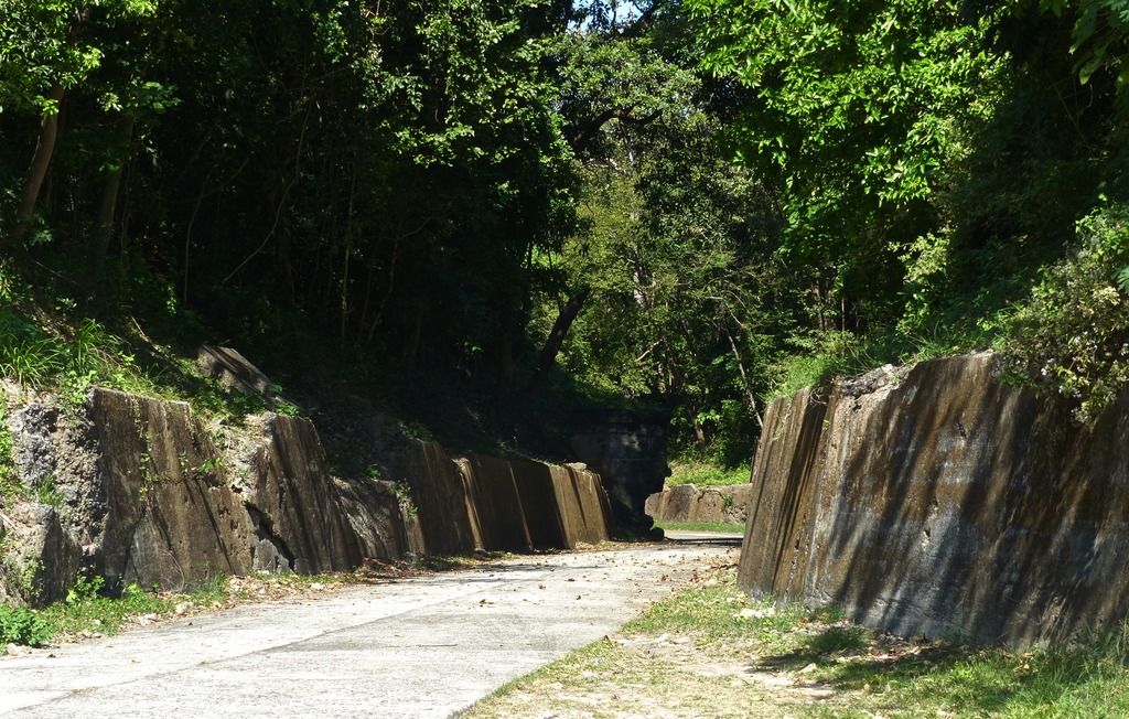 Looking back towards Battery Geary. 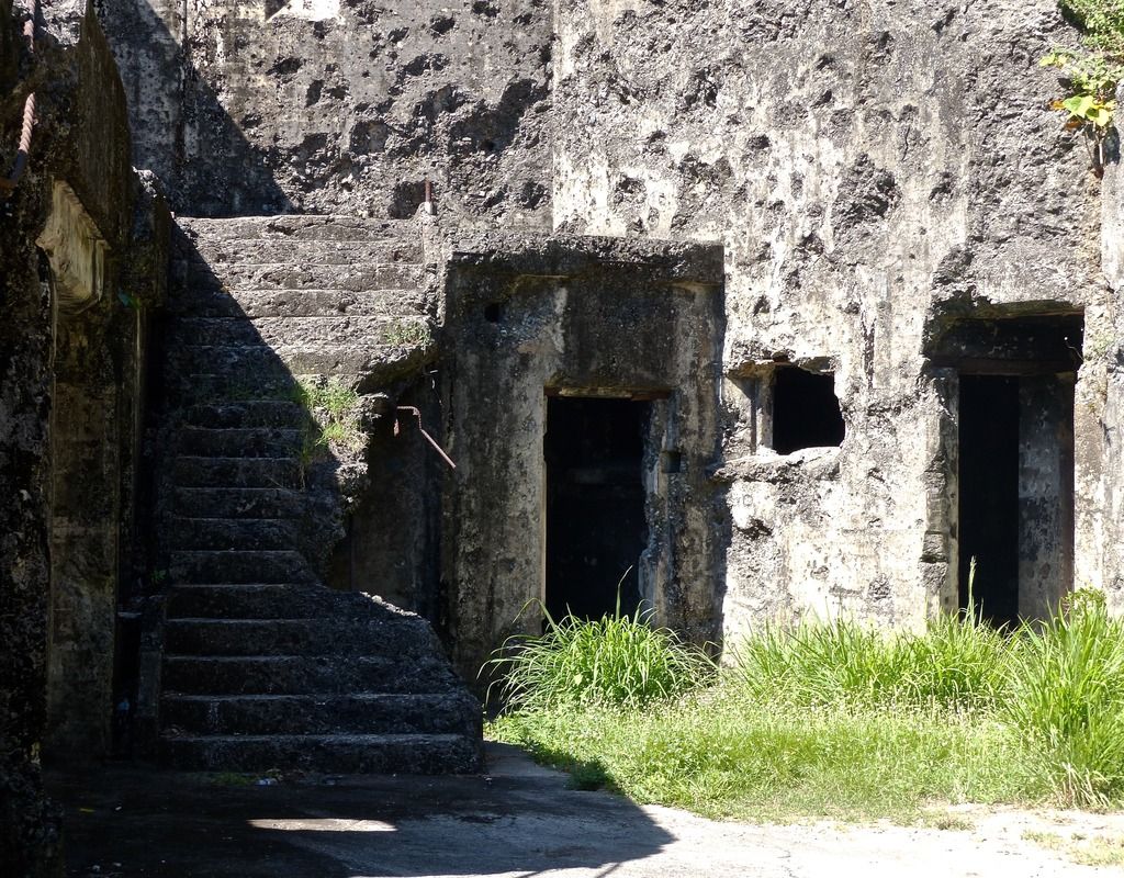 The stairs up to Gun #1. A few pictures of Gun #1. 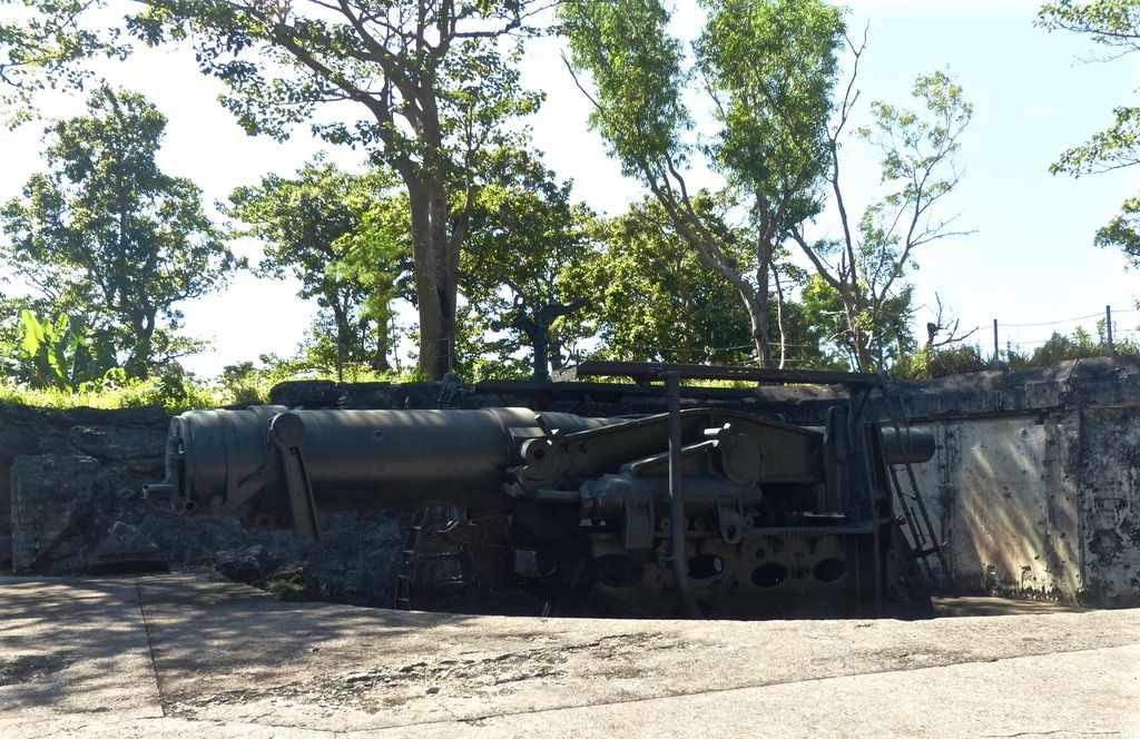 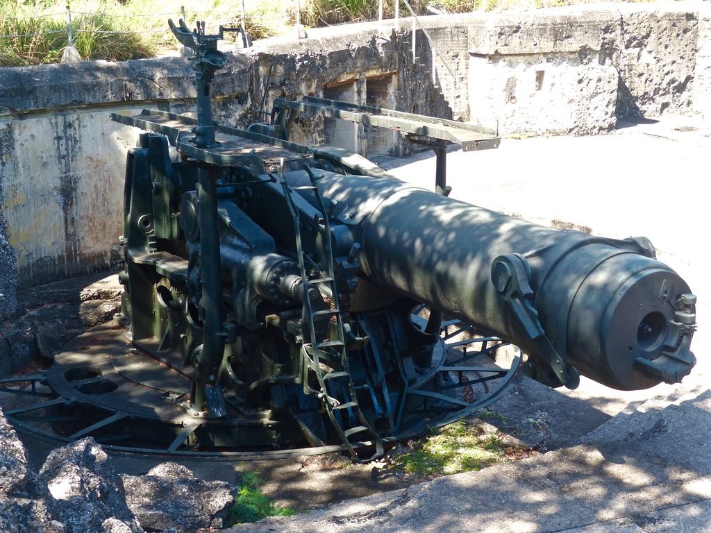 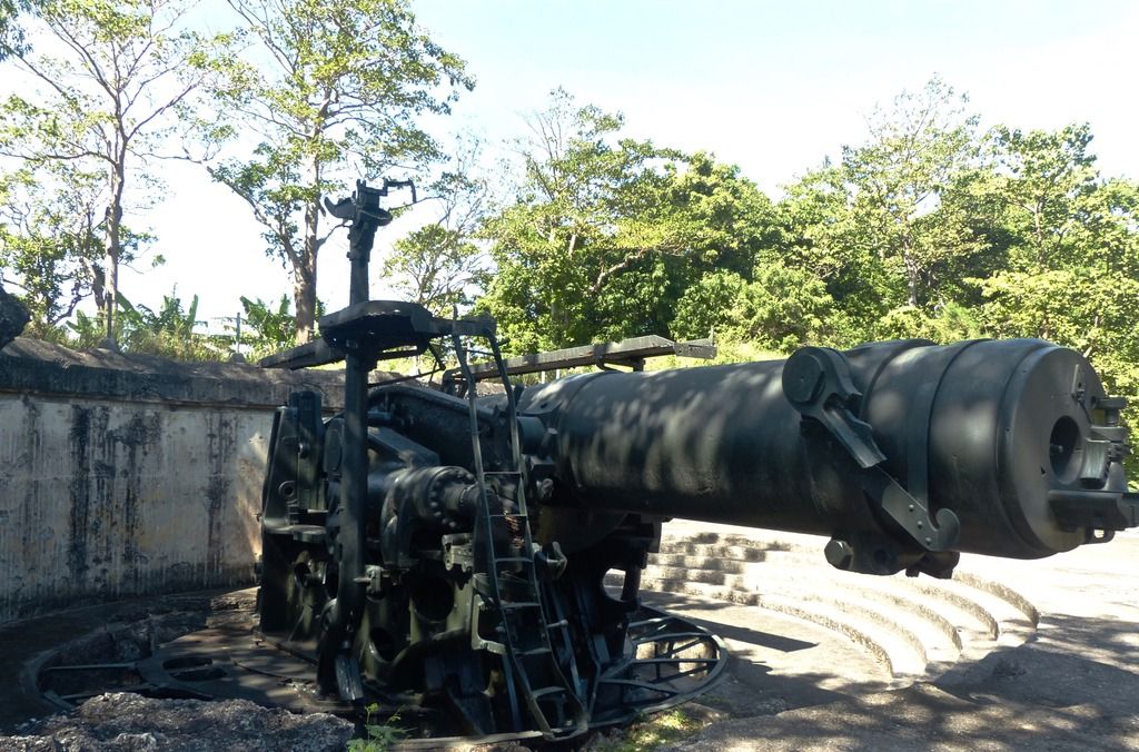 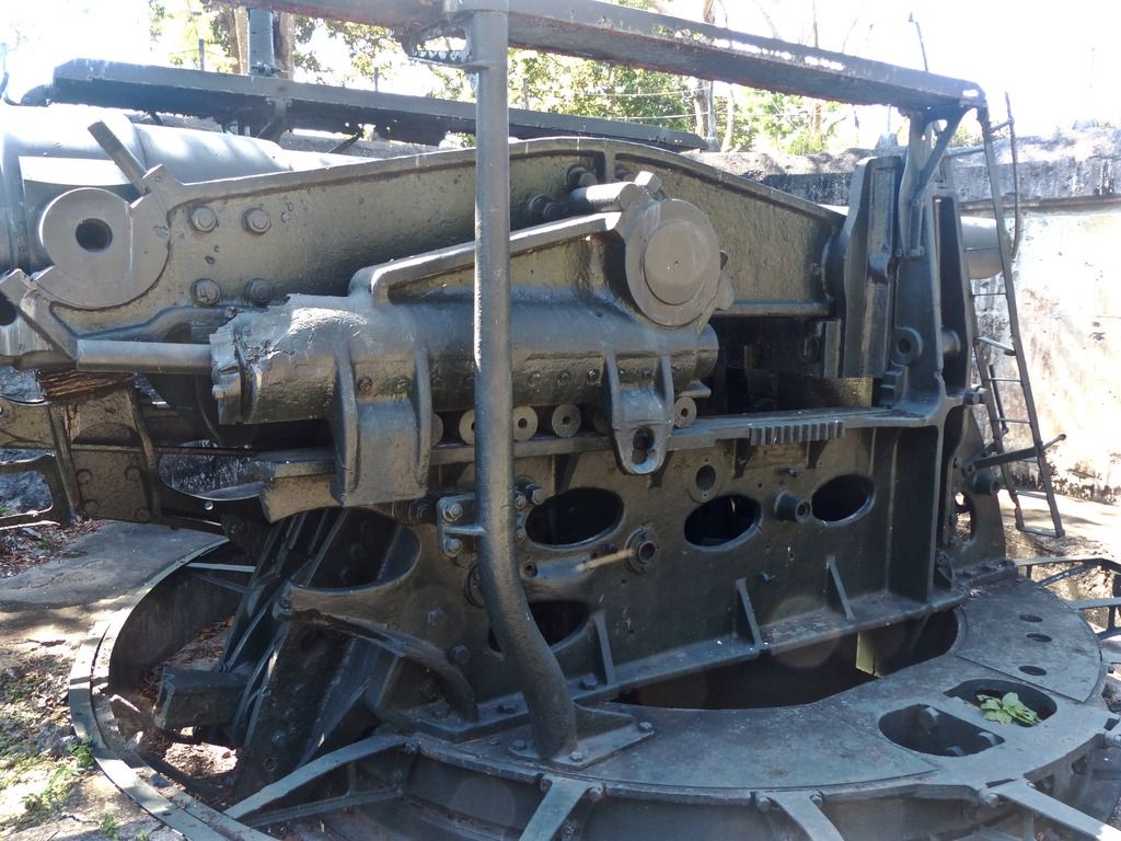 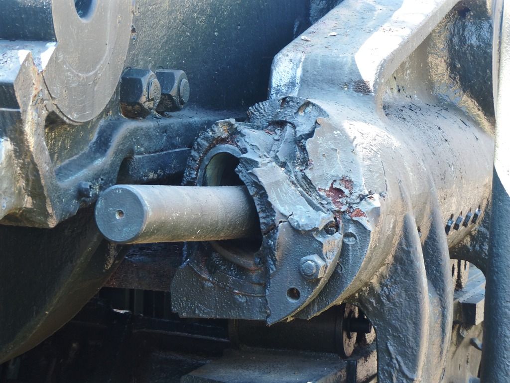 This section of the gun is especially crushed. 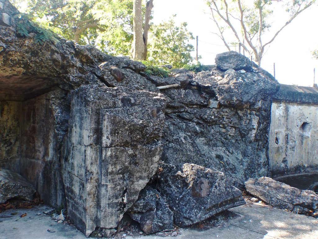 This area next to Gun #1 is also quite destroyed. 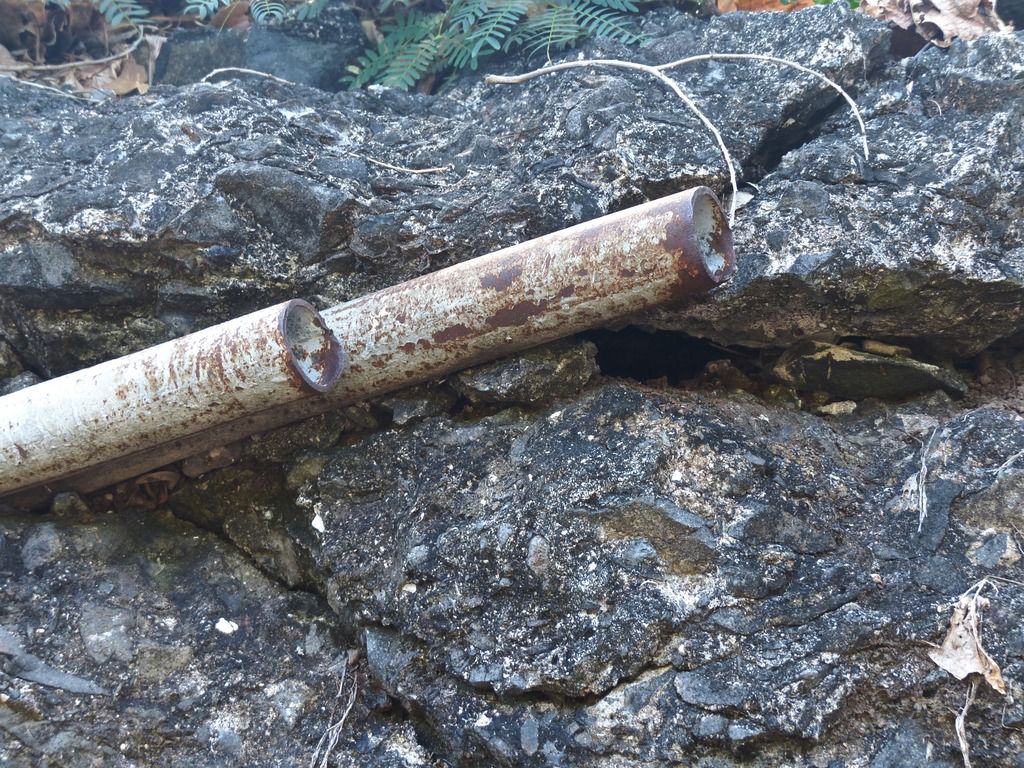 A close up on the pipes sticking out. 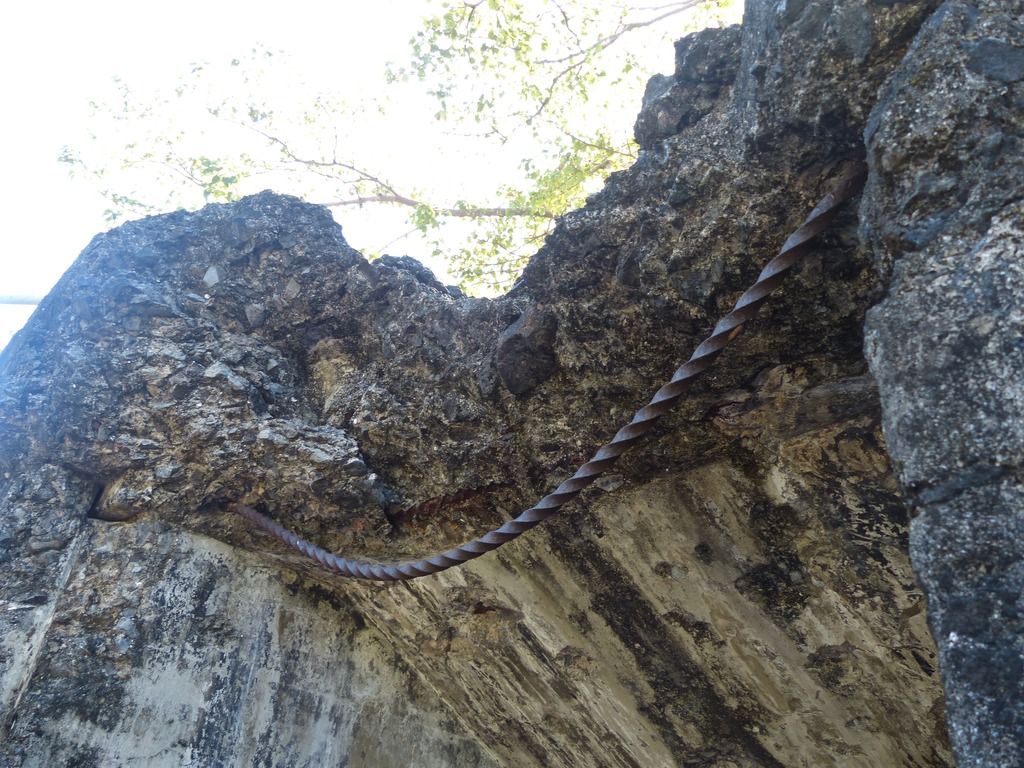 Bowed rebar above the doorway. 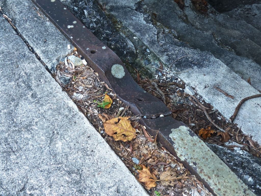 I'm guessing whatever bowed the rebar also dented this metal here. I believe these are part of the system that brought shells up to the guns. 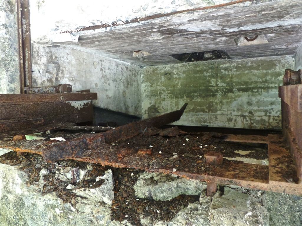 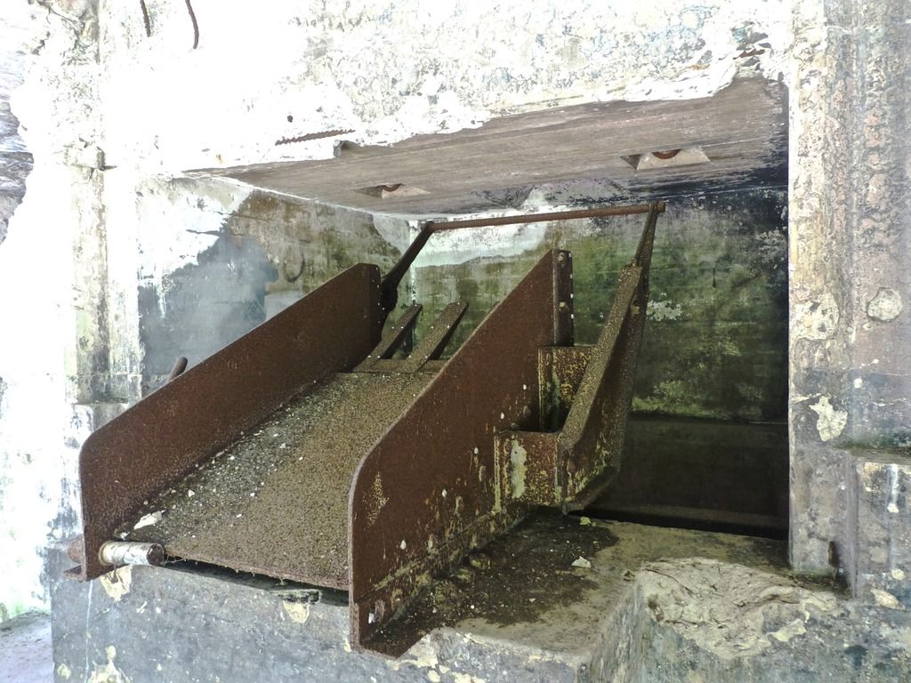 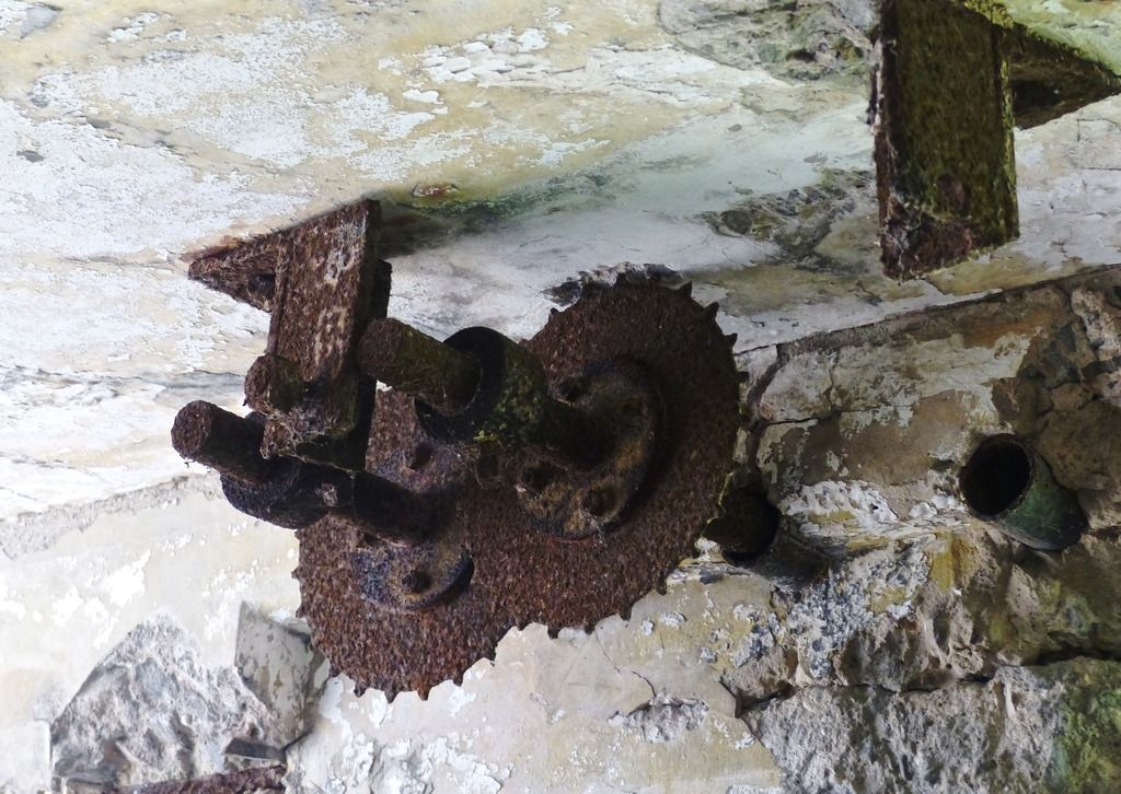 These presumably served a purpose. 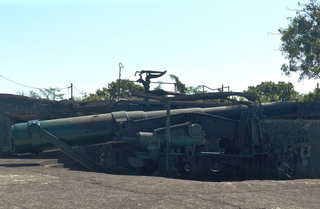 Gun #2. 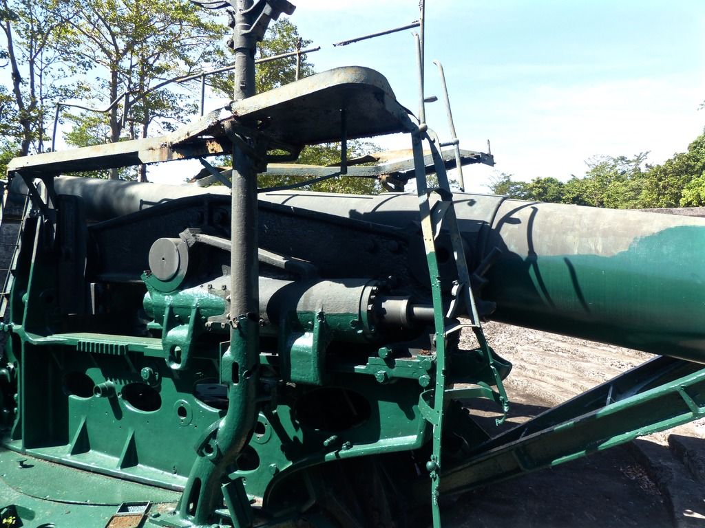 It's partly painted. 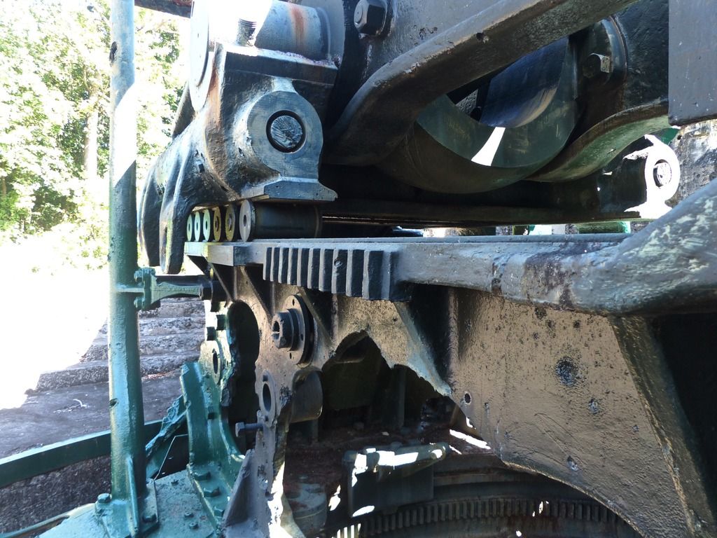 Another view of the gun. 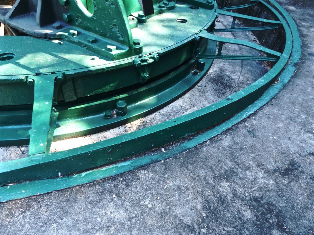 Note the bend in the metal here. 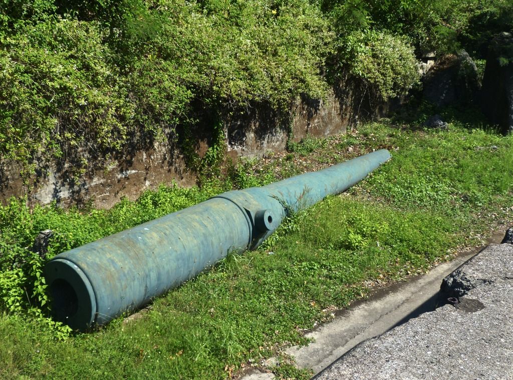 The spare barrel. 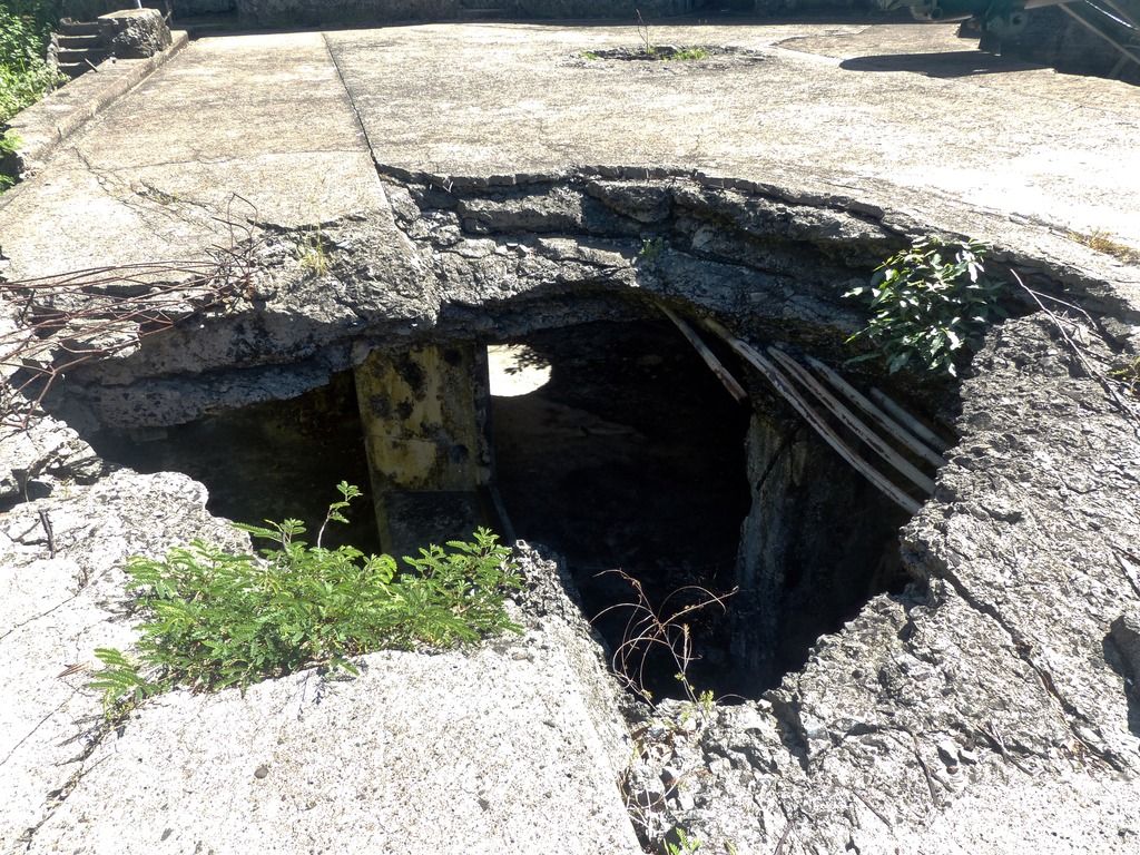 One of the two holes by Gun #2. 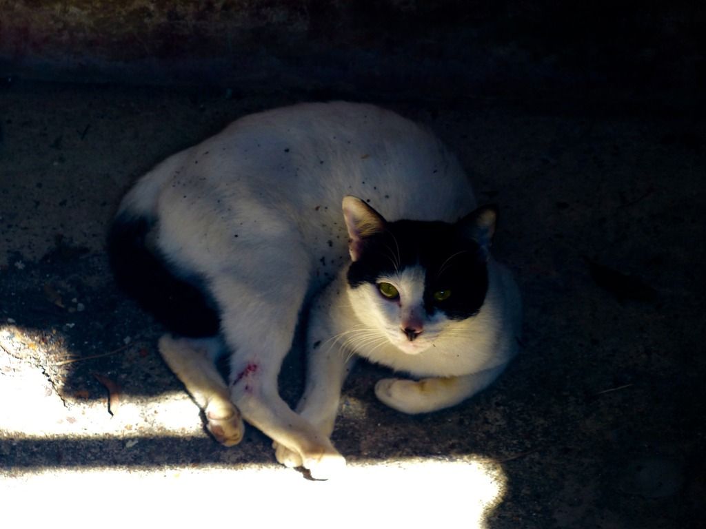 Looking down, I noticed this cat. They are too plentiful on the island in my opinion. 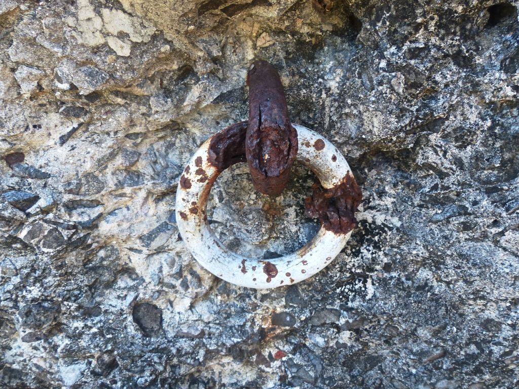 A metal ring by Gun #2. 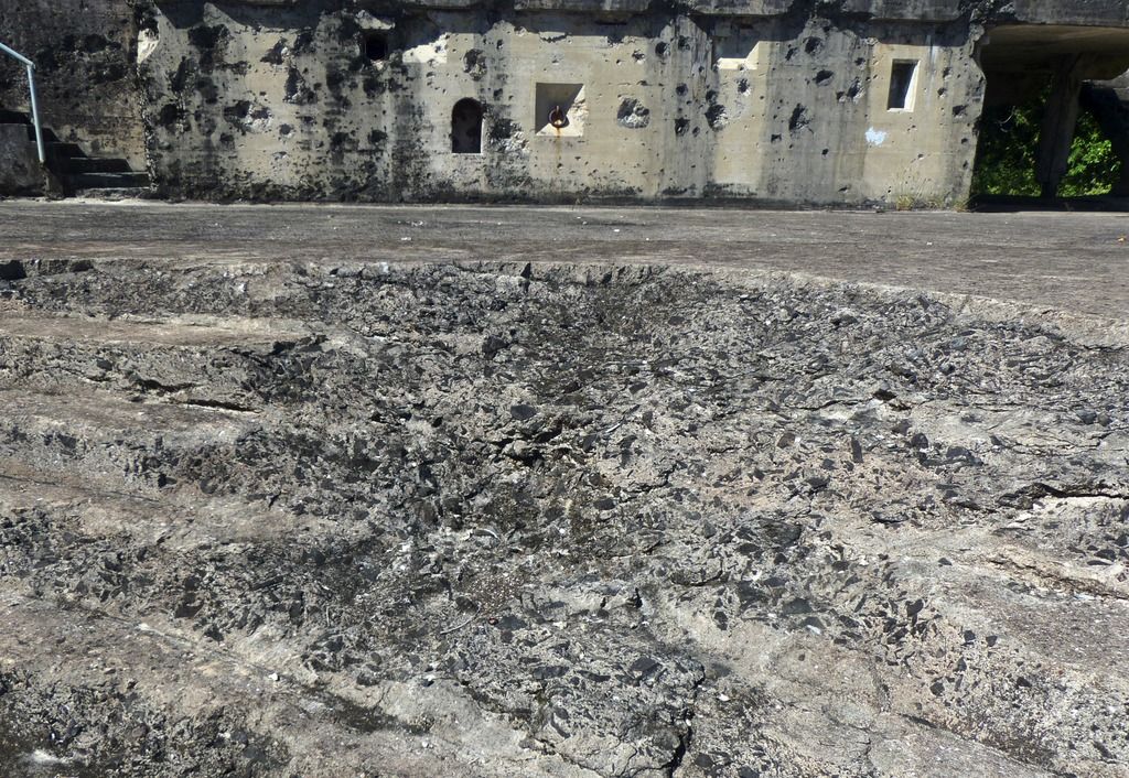 Damage to the stairs to the gun. 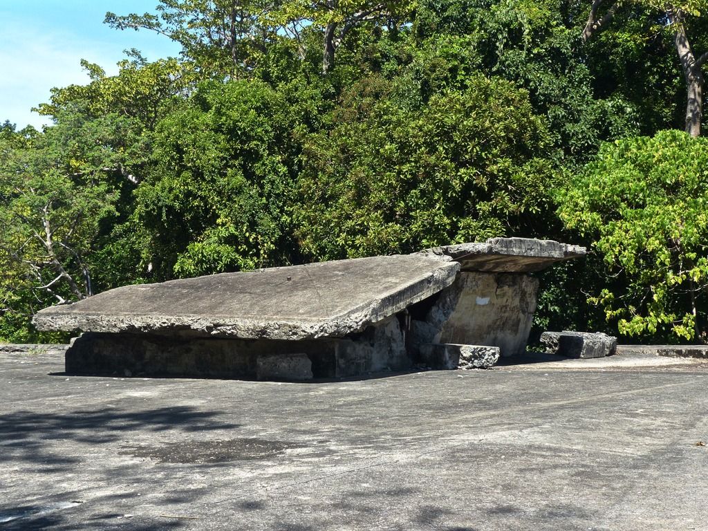 I headed up top and took a shot of the B.C. 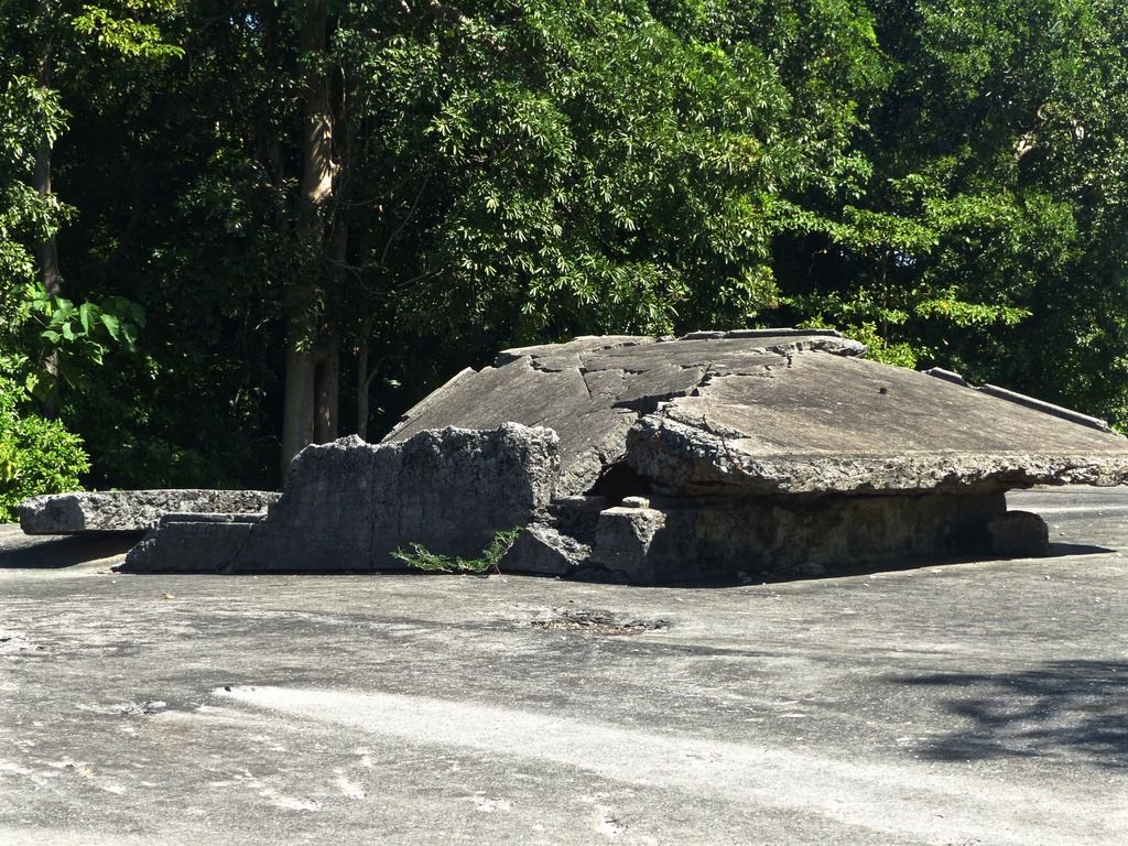 It has seen better days. 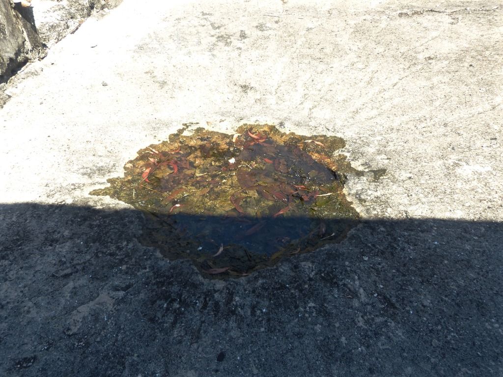 A water-filled crater. 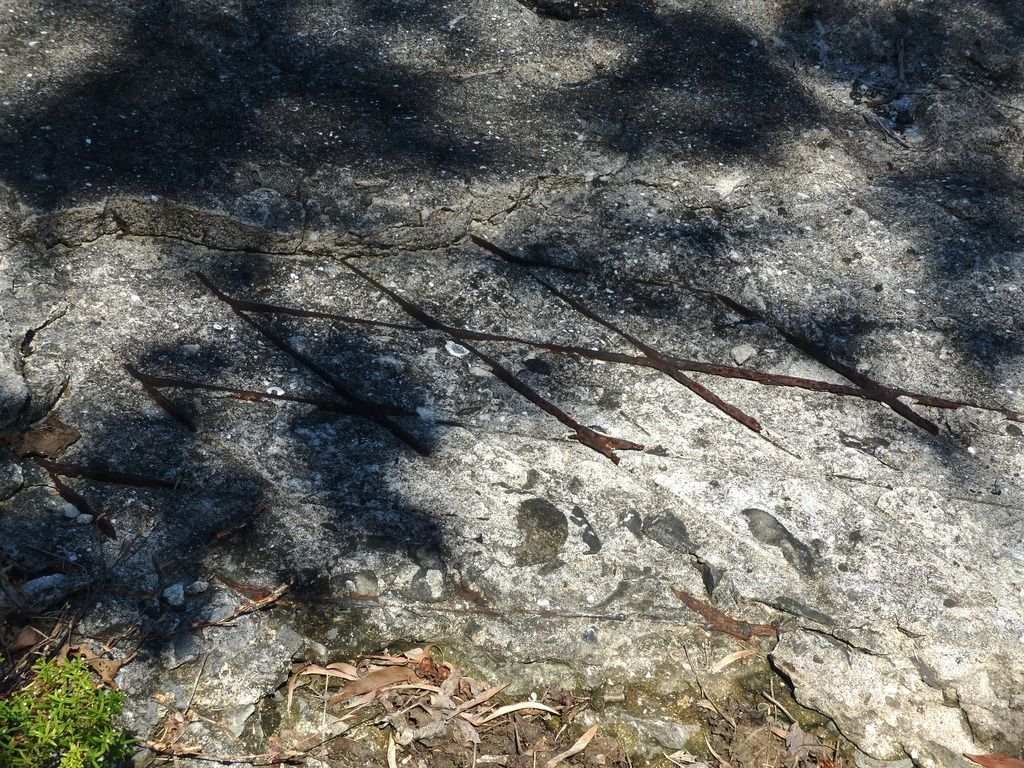 Mesh-like metal reinforcement. 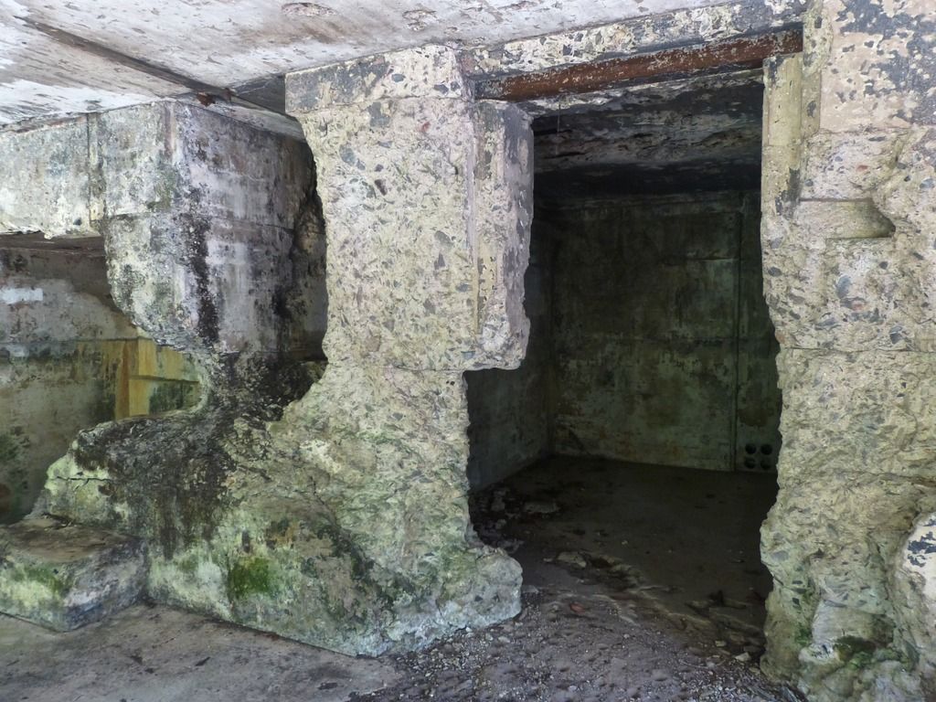 This room in the battery saw some action during the war. 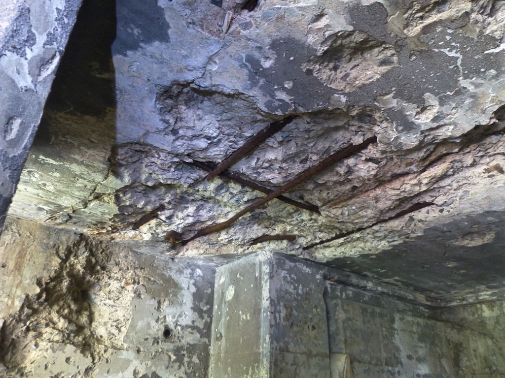 Exposed rebar. 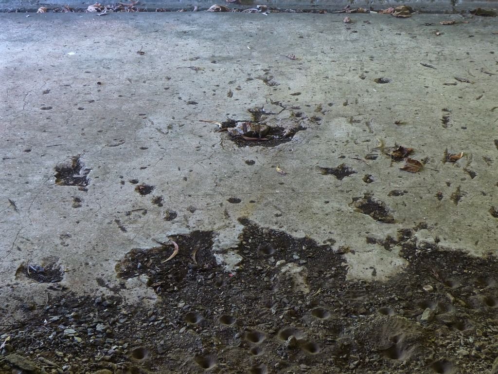 Damage to the floor caused by an explosive. 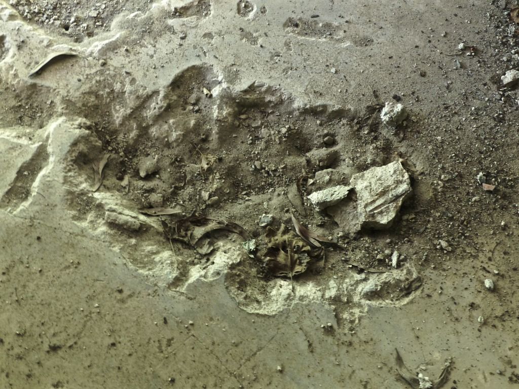 What kind of firsthand accounts do we have of Battery Crockett during the recapture? 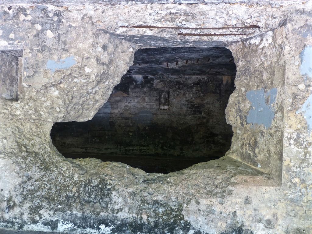 More damage to one of the rooms. 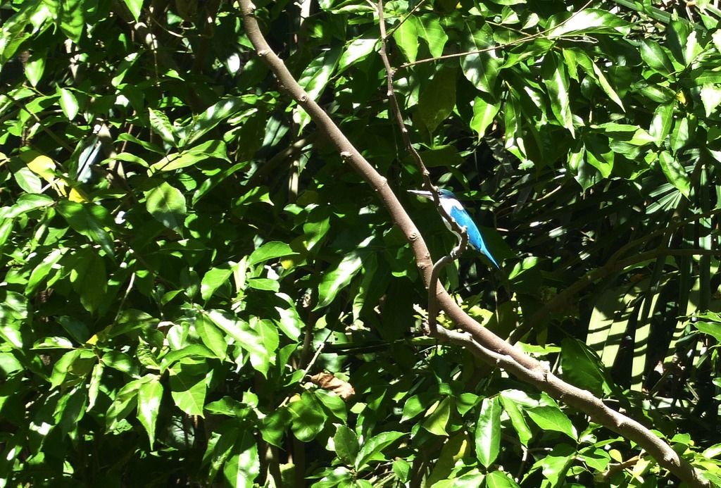 As I left the battery, I was able to get a picture of this bright bird. There are many beautiful birds like this along the island but I usually don't have my camera out when I see them.  On my way back, I passed the plotting room of Battery Geary. 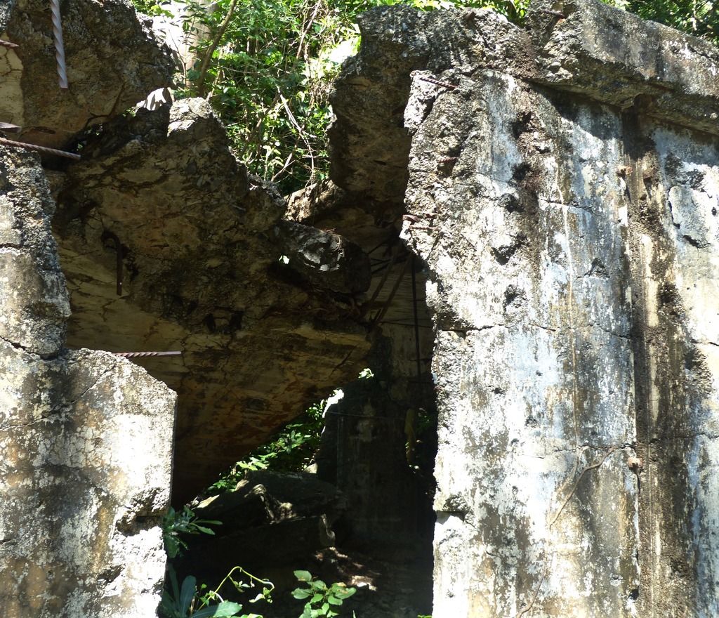 It was not bombproof in the slightest. |
|
|
|
Post by piercebennett on Feb 15, 2017 11:01:04 GMT 8
Thanks for posting the picture from the newsreel, chadhill. The shell could very well be one of those in the photo. Do you happen to know if the mortar fell as a result of the bombings in 1945, or did it fall later on as a result of time?
|
|
|
|
Post by piercebennett on Feb 13, 2017 12:34:45 GMT 8
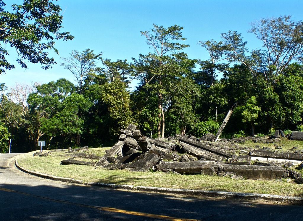
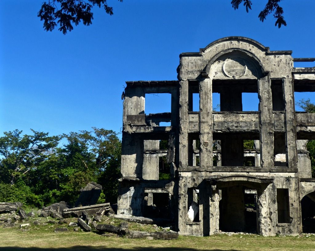
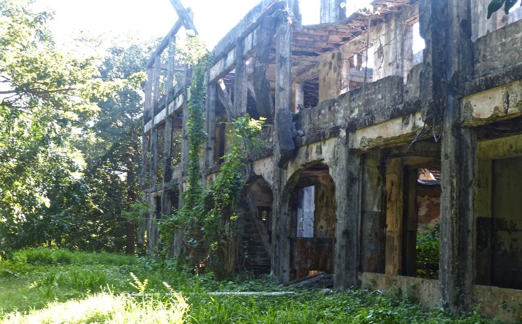
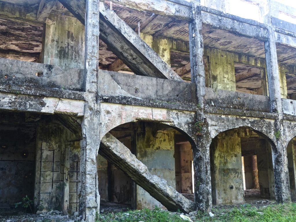
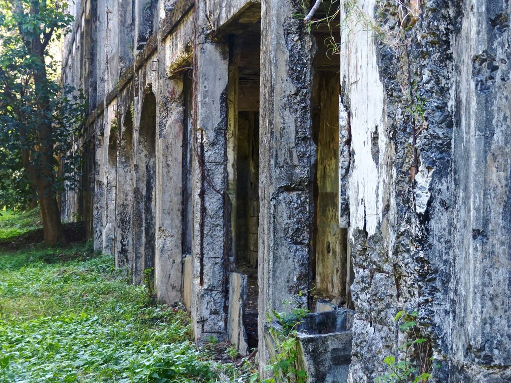
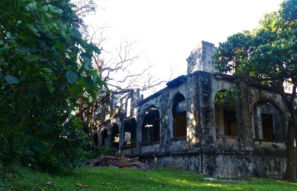
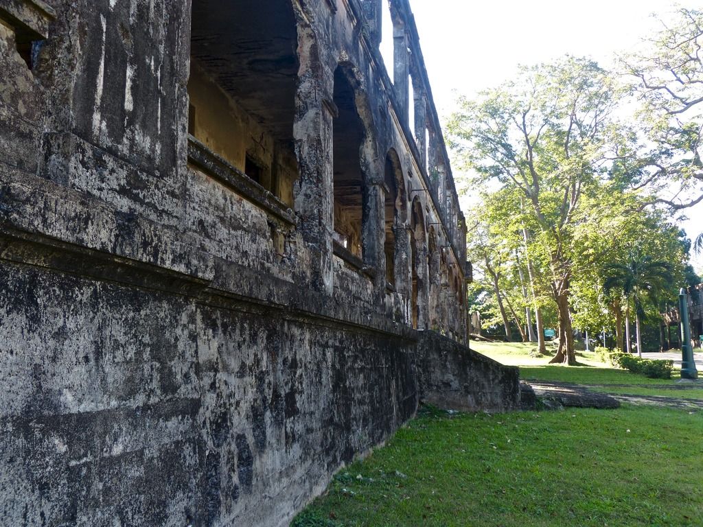
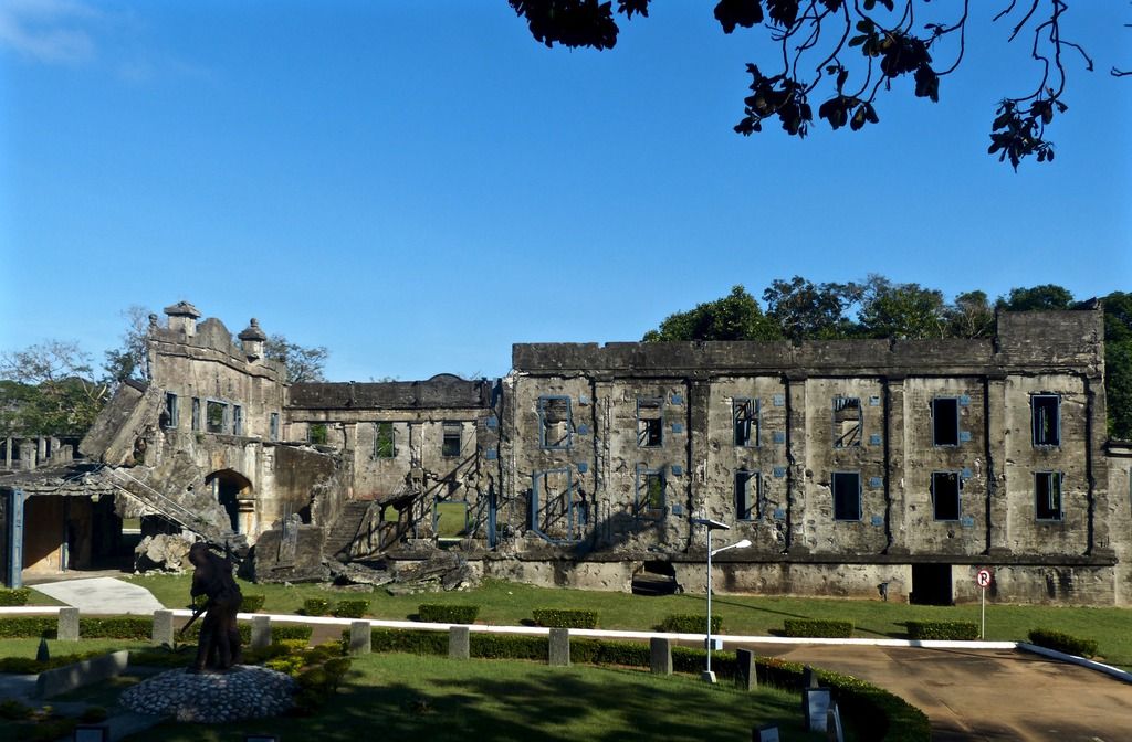
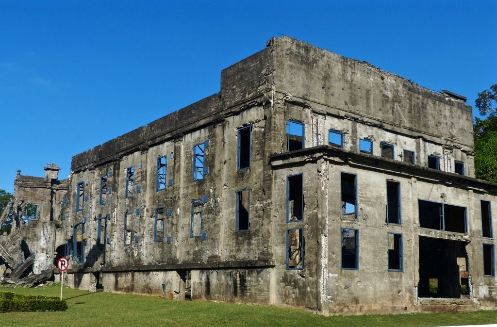
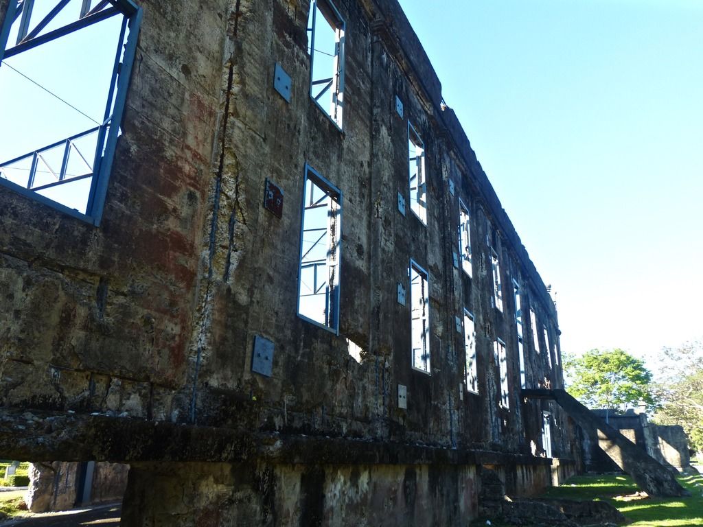
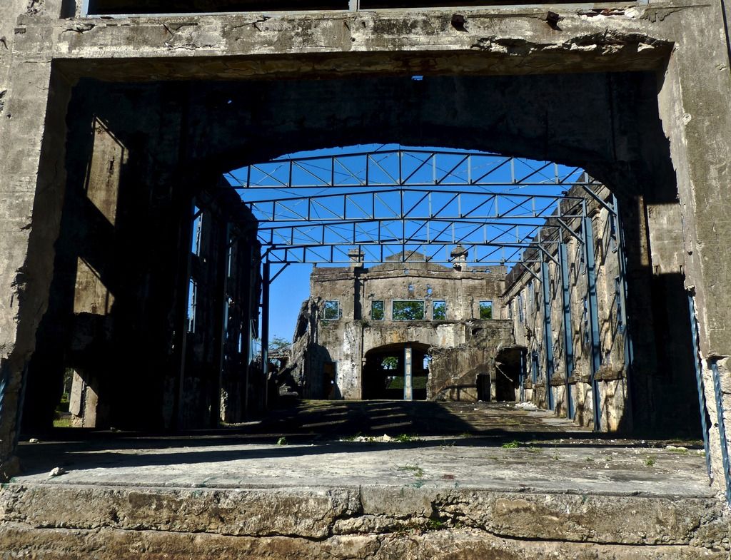
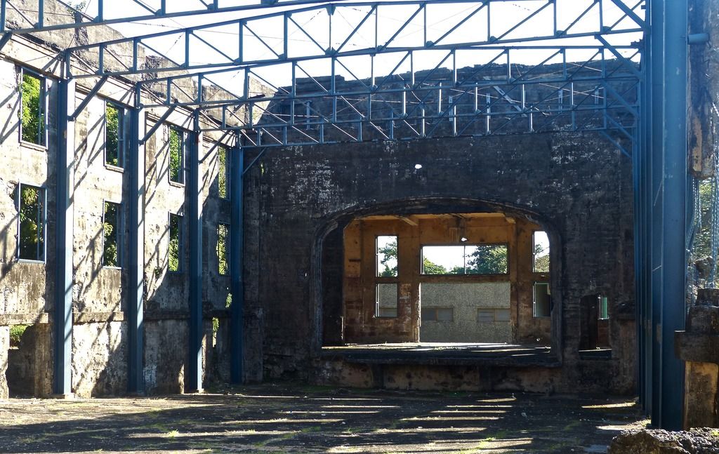
Day 10, Part 2Next I took a few photos of Mile Long Barracks and then headed to Battery Geary.
I took a shot of the parade ground as I went towards the barracks.
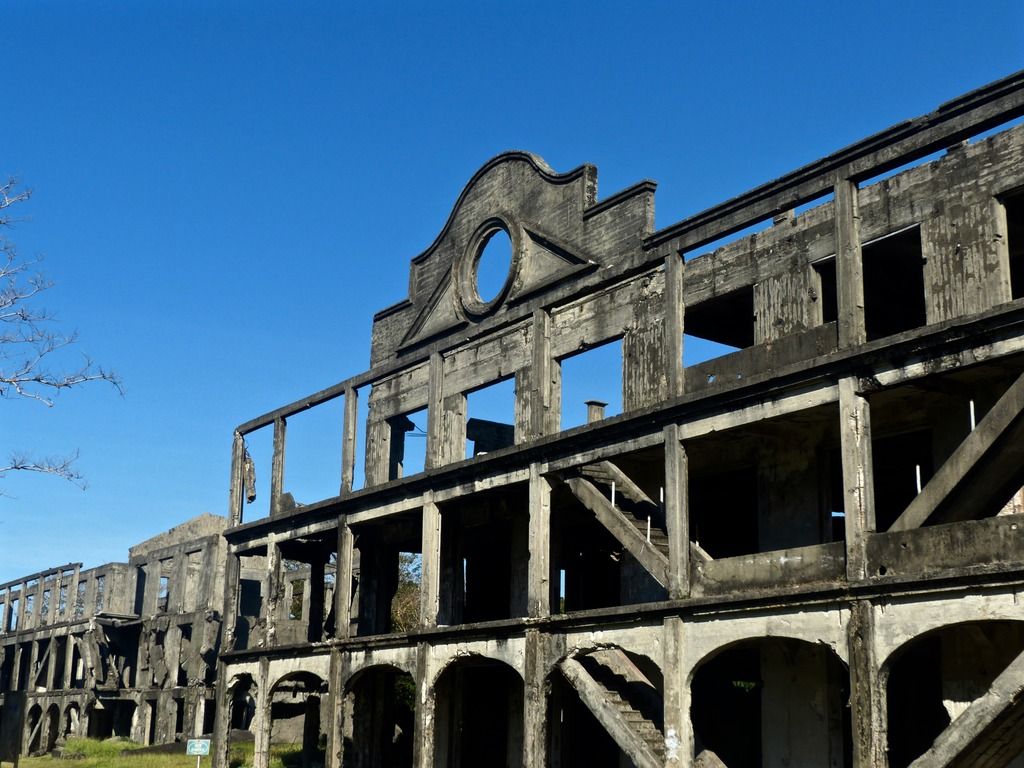
The front of Mile Long Barracks.
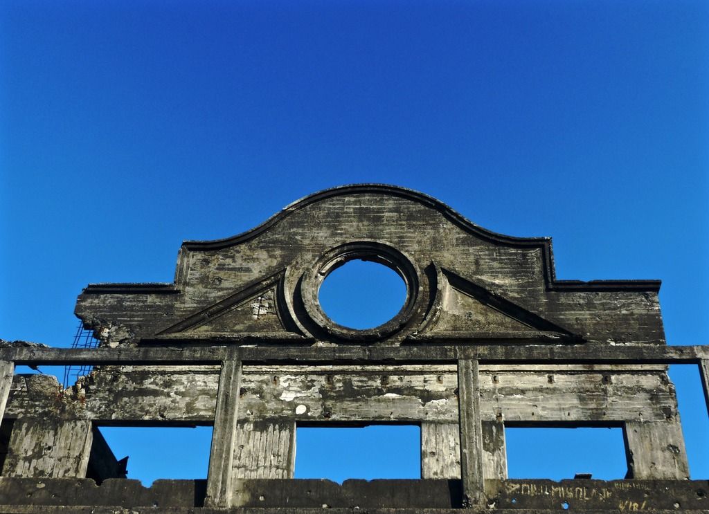
A close up on one of the facades.
Another bird. I wonder what happened to his wing.
The west end is especially destroyed.
If I remember correctly, some explosives were stored in this side of the barracks.
A few more shots of the front.
Pictures of the other side of the barracks.
Note the shell shaped decor.
A close up on the metal piece. I'm guessing this was part of the roof at some point.
The ceiling has decayed in an interesting fashion.
A buckled portion of an interior wall.
Pock marks on the wall.
Some old paint remains.
Another section of destroyed wall. It's interesting to see, now that the walls have been ruined, how these walls were constructed.
A beautiful skylight.
A relatively clean in tact part of the barracks.
Looking through a hallway.
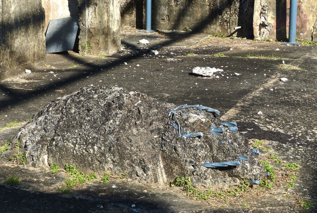
I don't know what it is, but this pool doesn't seem especially appealing to me.
A pipe sticking in the side of the pool. There is also crumbling rust around the area.
A hole in the ceiling above the pool.
I wonder how long it will be until this rusts off.
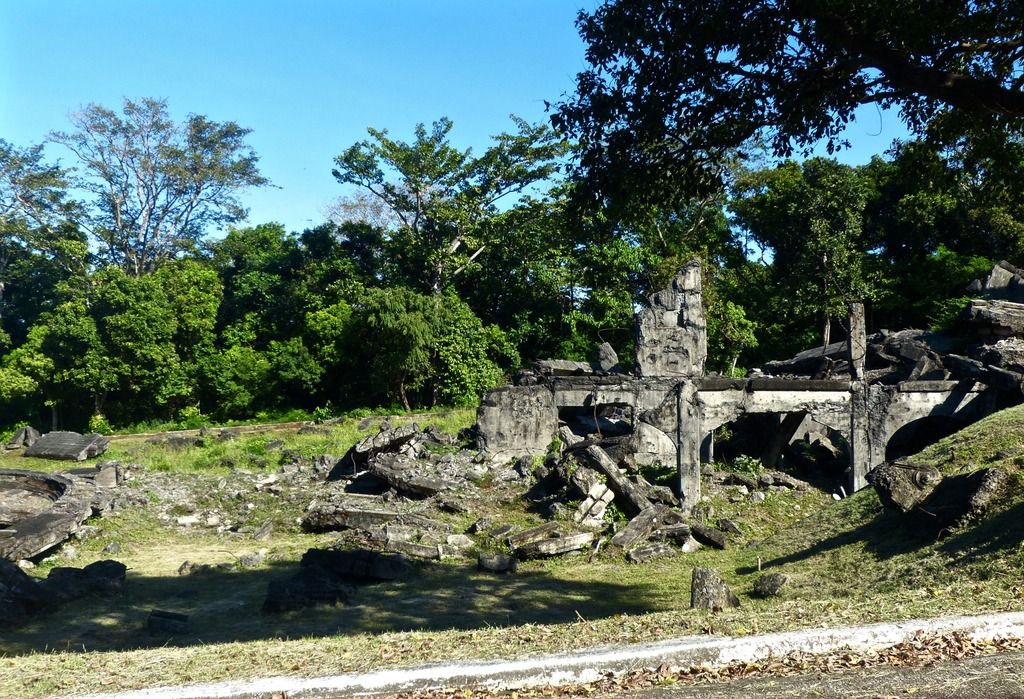
After the barracks, I made my way to Battery Geary.
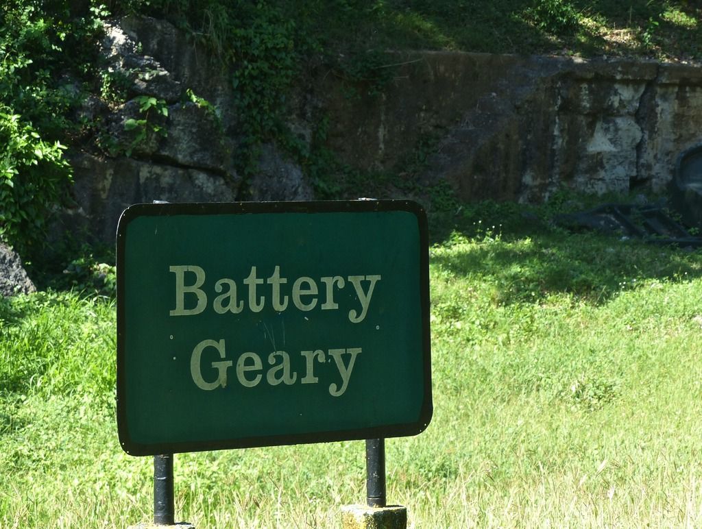
Approaching Geary from the road above.
The 'Pit A' side magazine.
An airshaft above the magazine.
A decorative shell.
The middle magazine is nothing but a crater now.
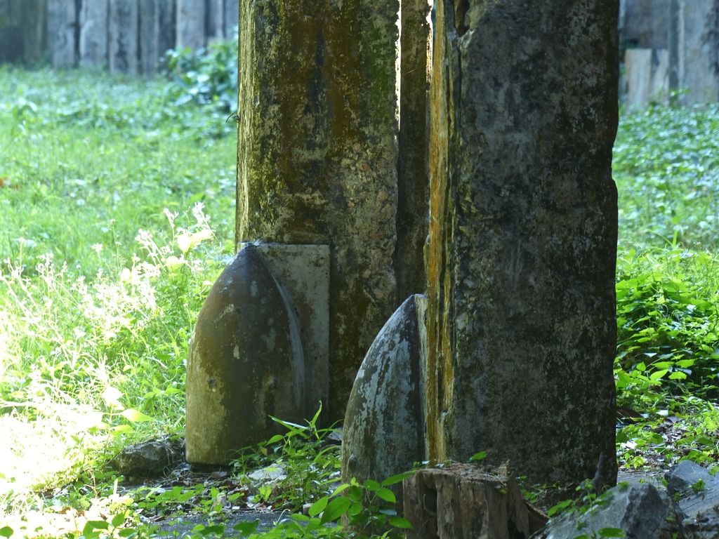
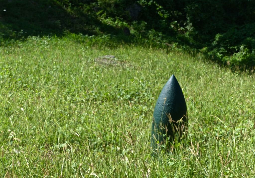
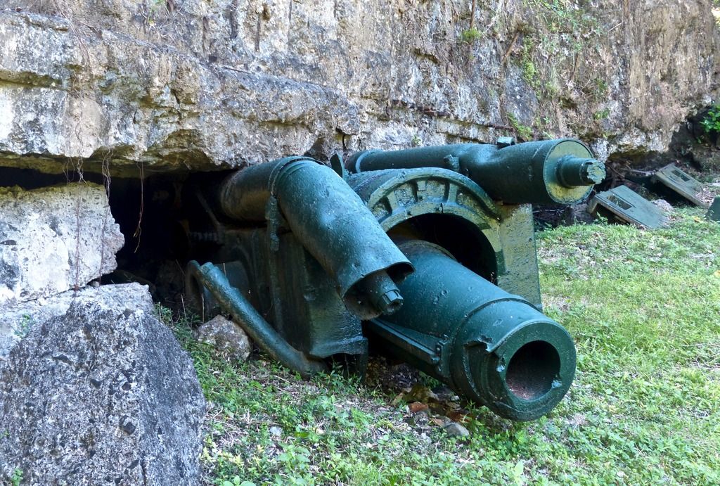
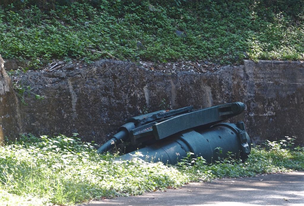
Two 'Pit A' mortars.
The initial explosion launched the mortar in the background on top of the magazine.
When it fell, it dented the racer.
In front of the mortar, I noticed a near buried shell.
Notice the ring around the mortar shell.
One of the 'Pit B' mortars holding up the magazine's roof.
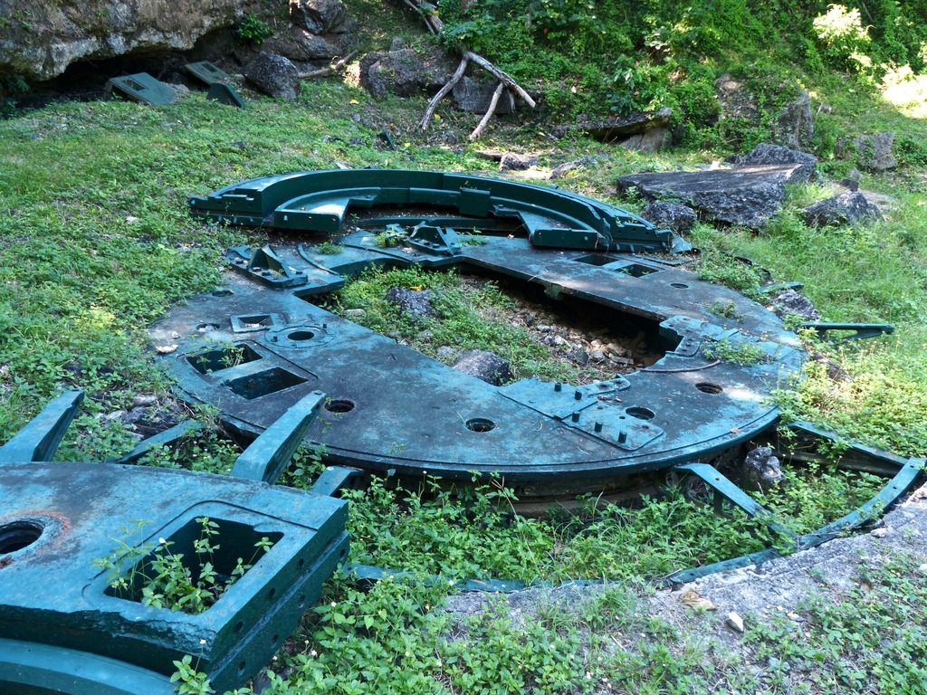
'Pit B' racers. It would be interesting to see the concrete underneath without any of the grass and weeds. You can still see some of it showing through.
Another part of a racer.
A crack in the metal.
A close up on some of the details.
The mortar that was sent across the street.
Another mortar holding up the magazine roof.
Another view of the mortar.
Inside the remains of the magazine on the "Pit B' side.
Does anyone know what these "belt buckles" were used for?
A fair amount of rubble is underneath this grass and the road. It makes the ceiling of the magazine lower than originally intended.
Inside one of the rooms.
The walls are very charred.
One of the 'Pit A' magazines.
This side of the magazine is in much better shape.
Again it's interesting to see how these walls were constructed. The wall here disconnected from the ceiling and pivoted as a result of the explosion.
Original paint on the walls.
A close up on the paint and the crack in the wall.
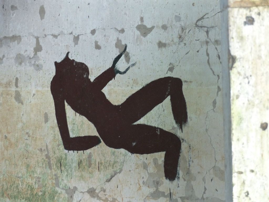
Some graffiti on one of the walls.
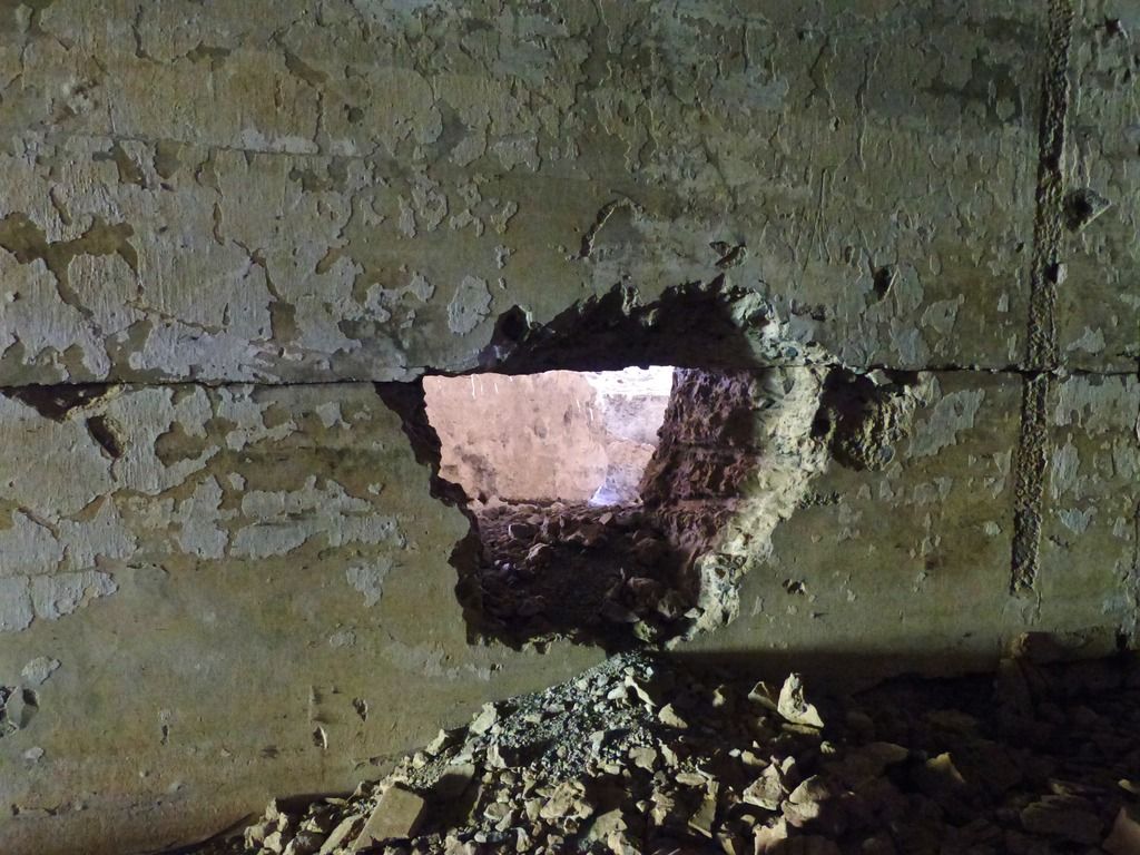
The rescue hole in the wall. Notice the drill marks on the right.
|
|
|
|
Post by piercebennett on Feb 10, 2017 10:56:15 GMT 8
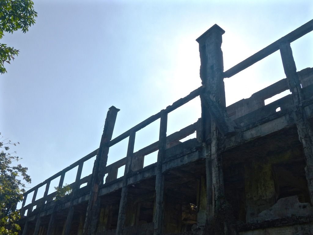
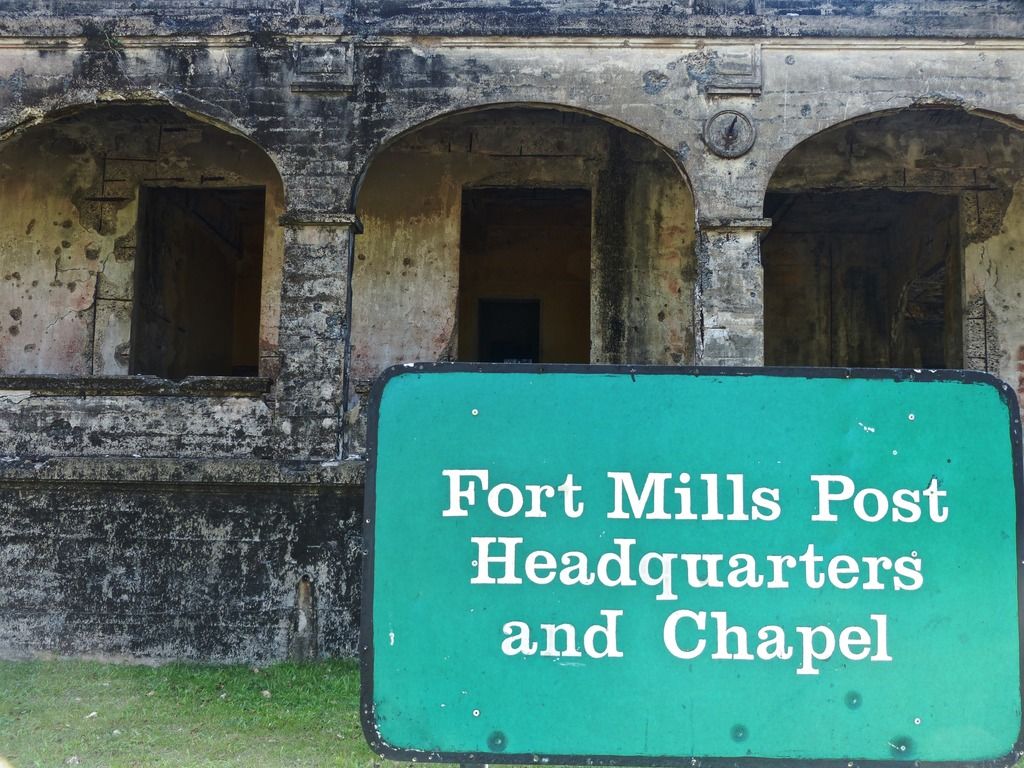
Day 10, Part 1The tenth and final day! I spent my time on topside and took more photos than any other day.
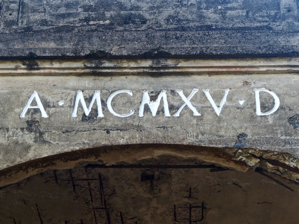
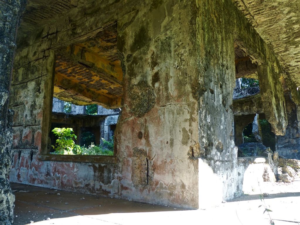
I started the day taking pictures of the HQ and Chapel.
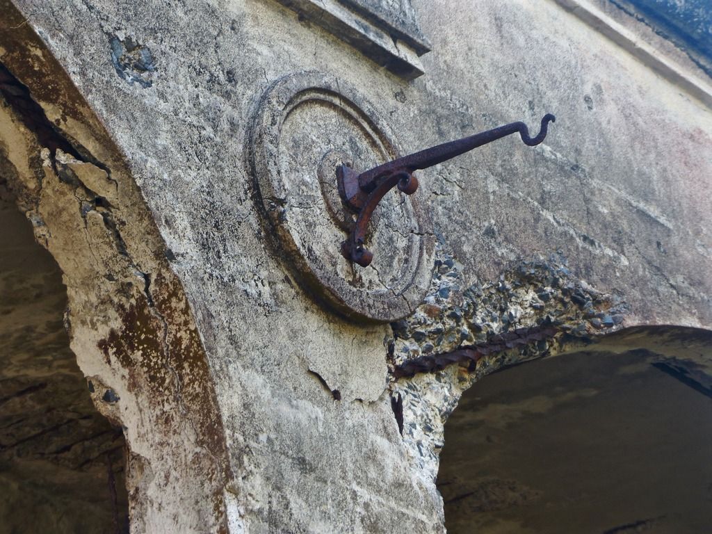
Does anyone know what they used to hang here?

A small crater in the stairs.
It's nice to see some remaining metal on the island.
The second floor is very much collapsed.
There are two of these in front of the Administration Building. I'm assuming they were here before the war, but they are in surprisingly good shape.
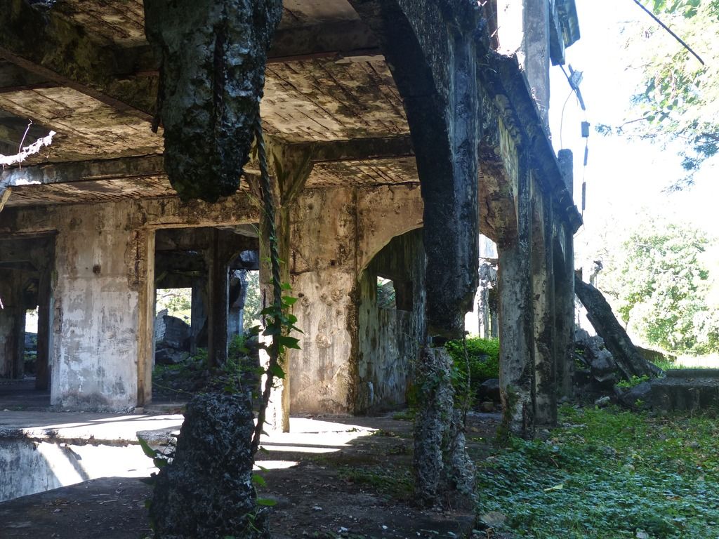
Here's two shots of 11-E. A lot of these buildings in the area have the same basic layout.
This is the railing on the second floor.
A space underneath the stairs.
Next, I went to the Cine.
Looking through the stage.
The opposite view of the photo above.
I'm assuming this was once a support for a balcony.
Stairs going up to said balcony.
The metal supports in the window.
Inside one of the rooms the rebar is showing.
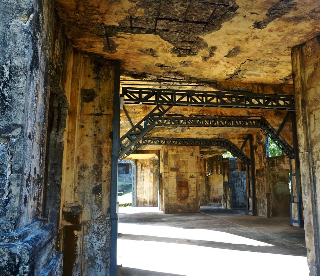
Inside the front entrance to the Cine.
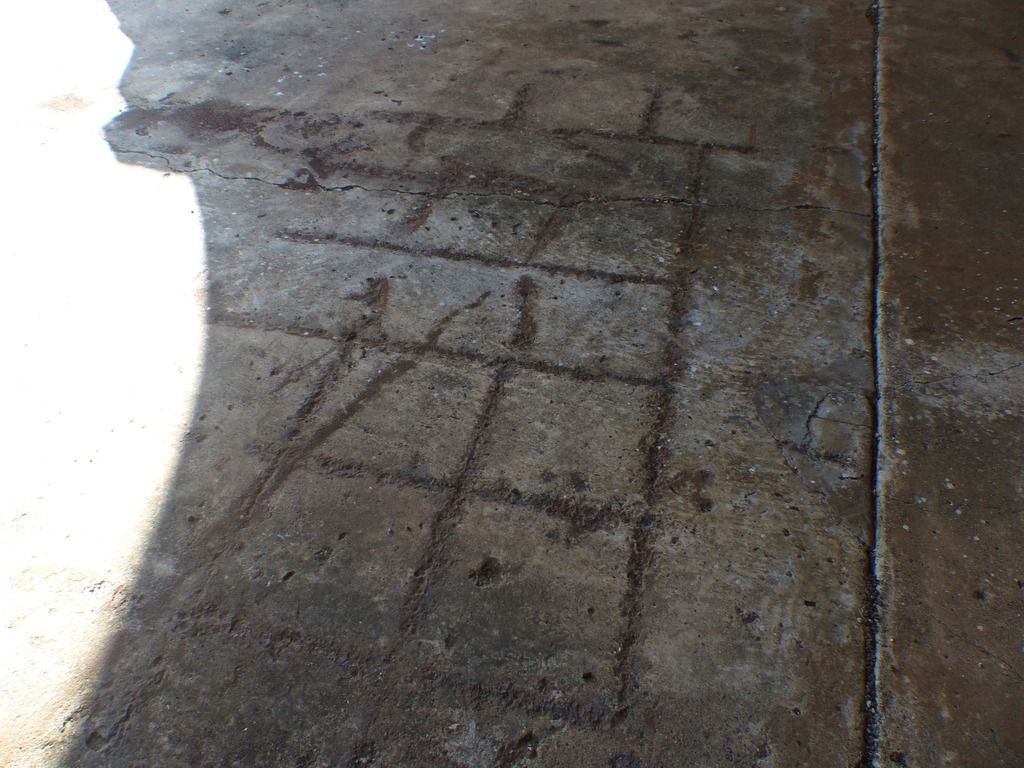
Anyone know why these markings are in the floor?

One last shot of the exterior as I move on. The sun was shining very bright that day. |
|
|
|
Post by piercebennett on Feb 6, 2017 13:00:26 GMT 8
Thank you guys for all the kind comments! it's nice to hear the feedback. Thank you ExO for all your work in helping to make this community what it is. I'll try to get Day 10 up as soon as I am able!
|
|
|
|
Post by piercebennett on Feb 5, 2017 4:47:05 GMT 8
Day 9, Part 2I headed to Kindley Airfield and then down to the beach.
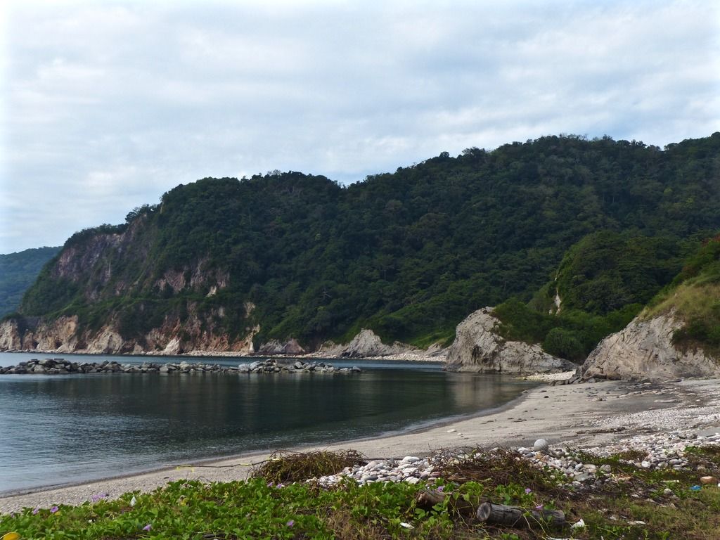
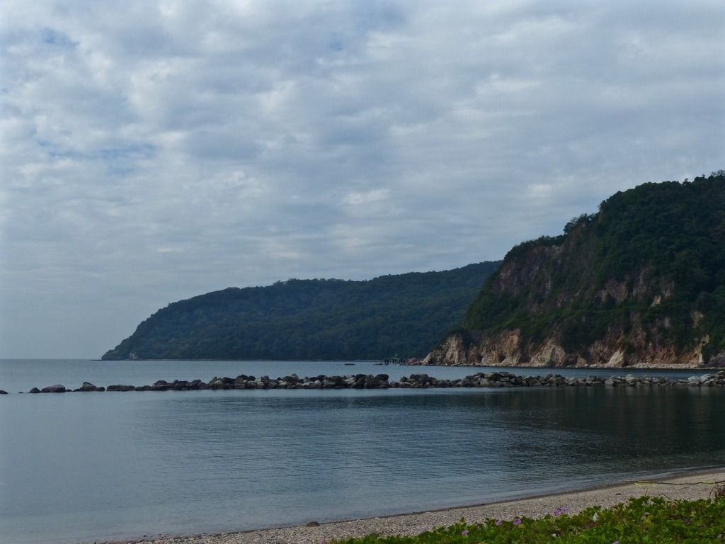
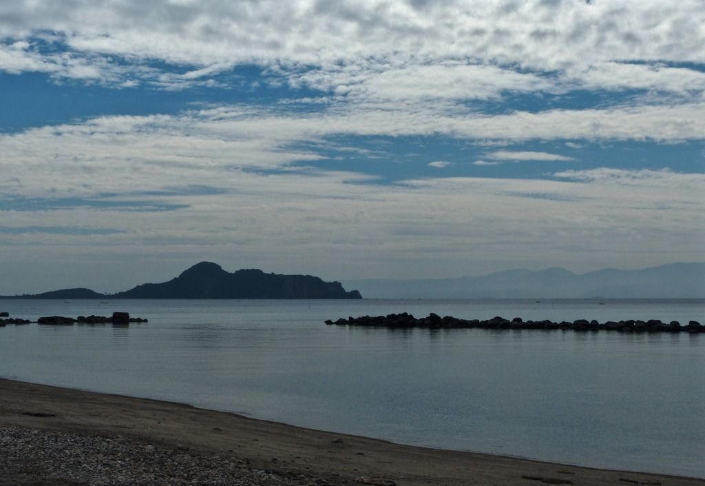
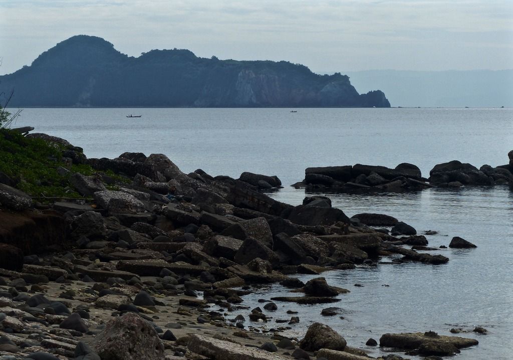
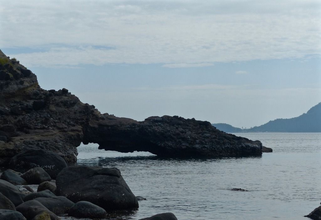
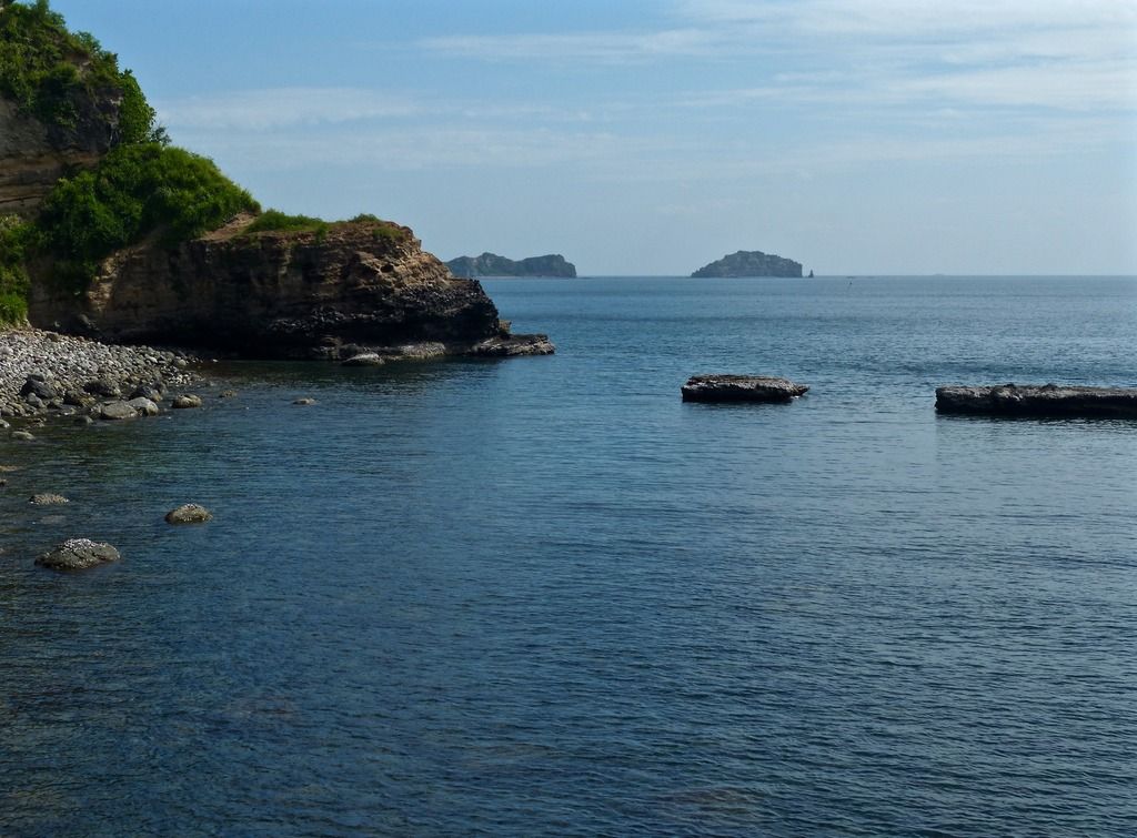
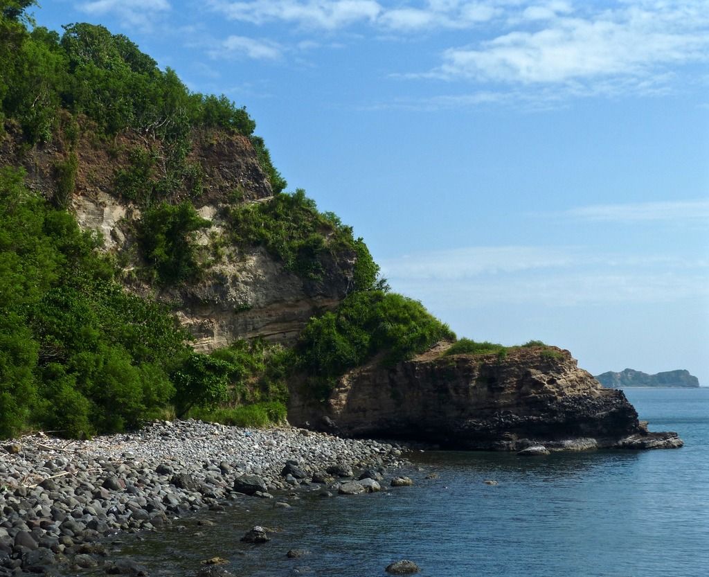
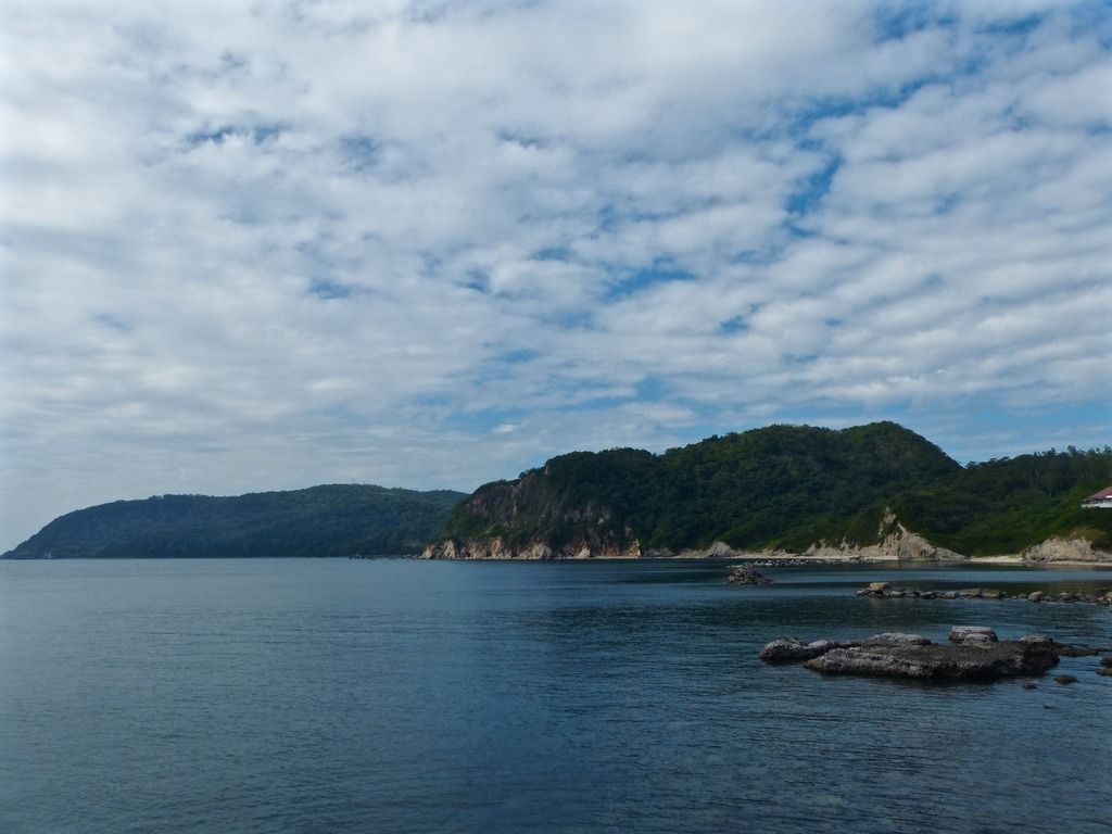
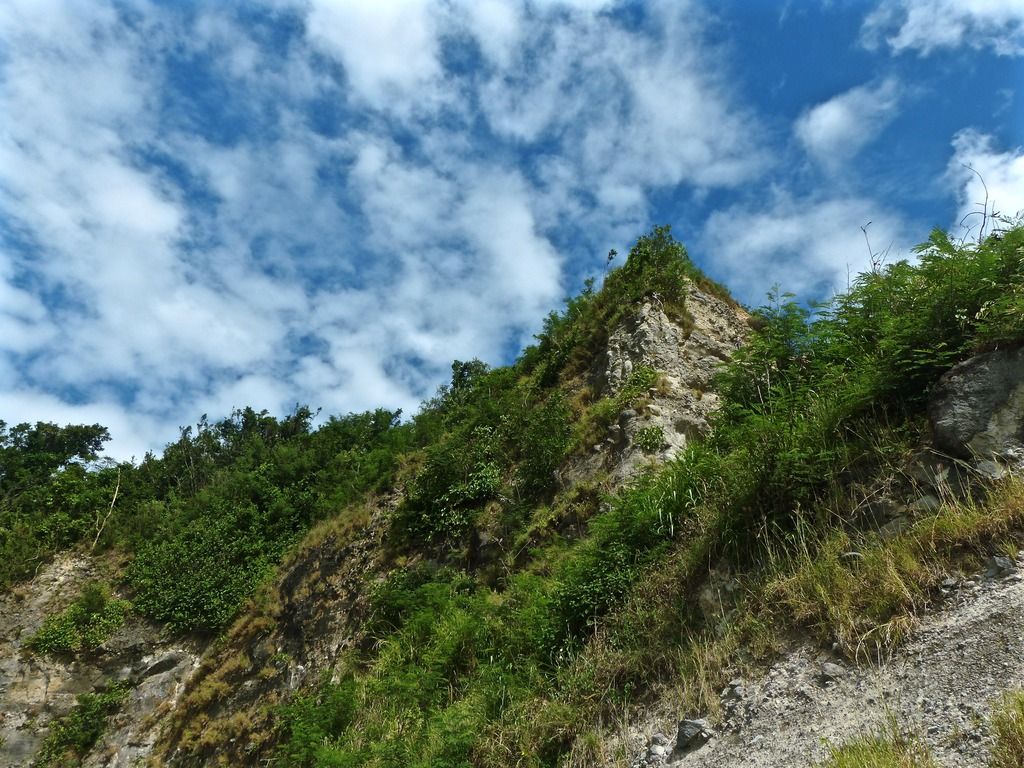
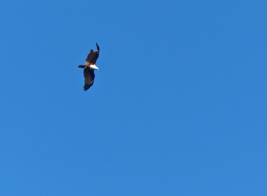
 Looking down the airfield facing topside.  Further east, I took the same basic photo. I think there is a rope heading down to the beach somewhere, but I didn't look very hard. I just climbed down some trees and slid down the steep hill. I would recommend finding the rope for anyone who is planning on going down to the beach this way.  Once I got to the beach I looked back to the two points I took photos from. Note the red flowers on the right. 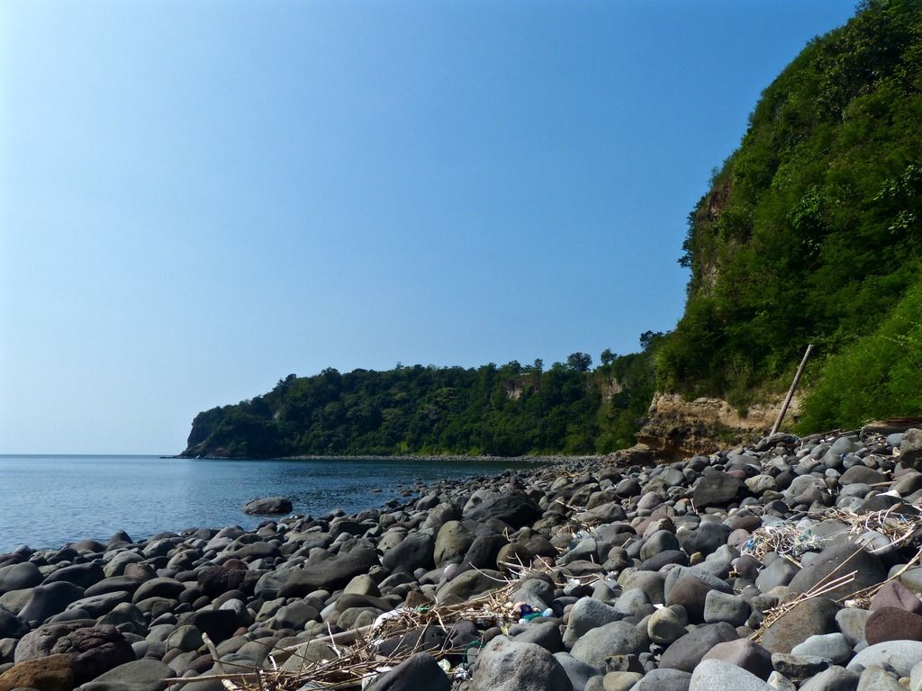 I continued east along the beach and took another photo facing west. 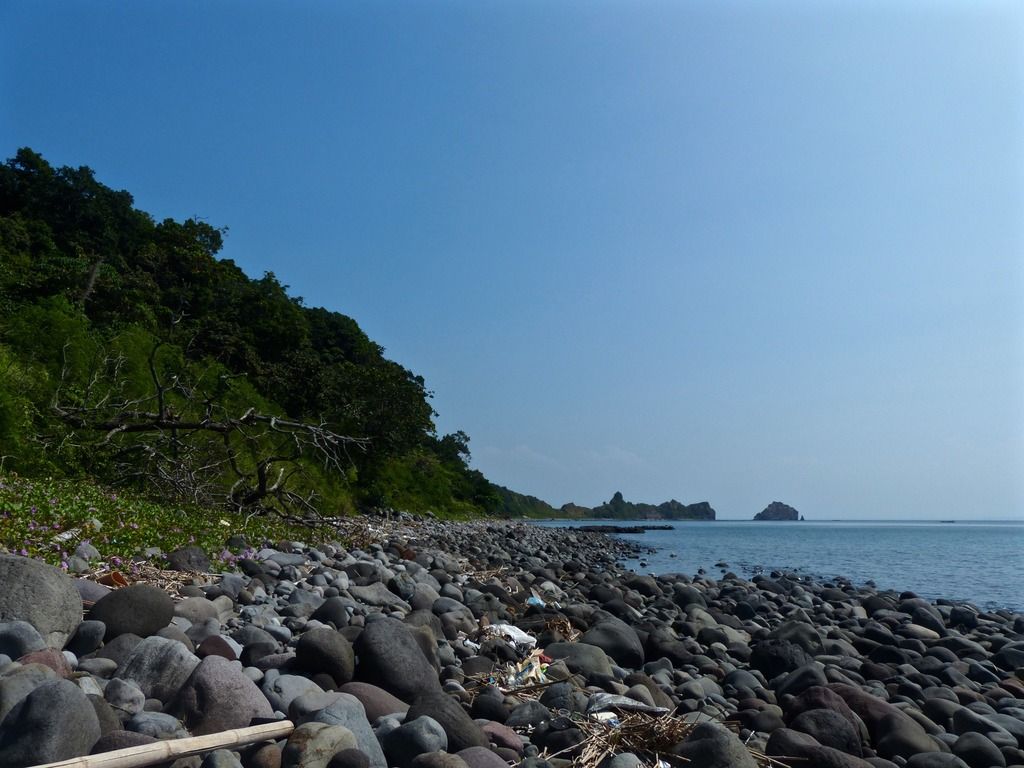 Then I took another facing east.  There are several of these sorts of things along the beach. I believe the fishermen use them to locate the cages they leave in the water. 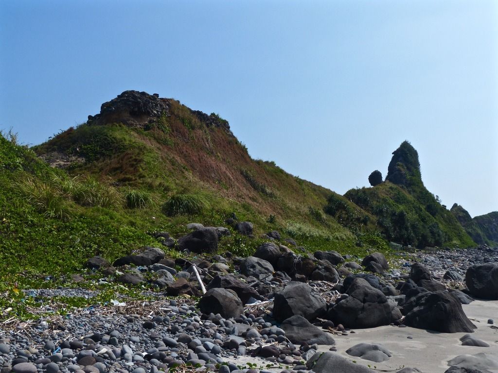 The geological structures in the area are really quite beautiful. 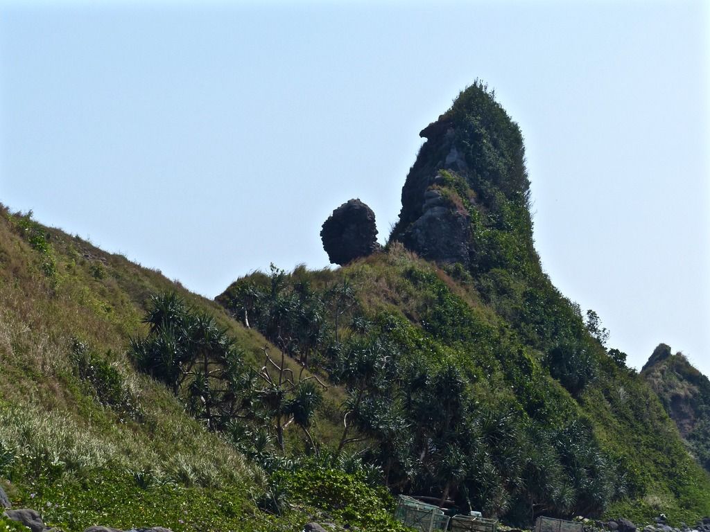 Note the fishermen cages in the foreground. 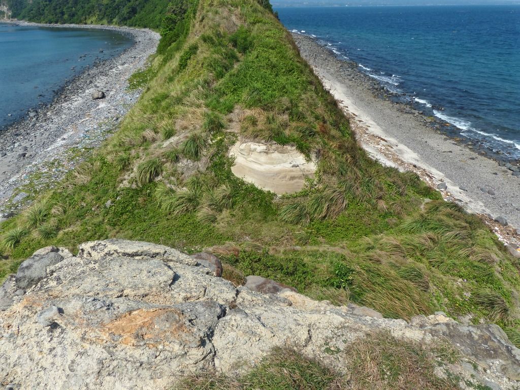 I climbed up the east side of the cut. 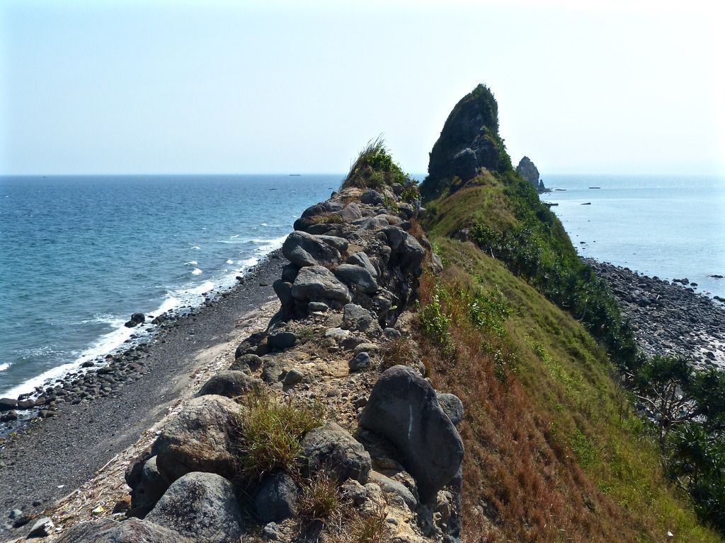 Facing east from the same point as the last photo. 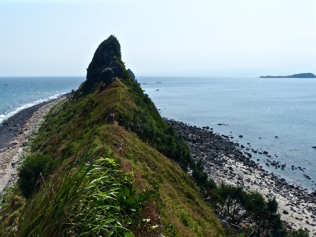 I walked a little further east. 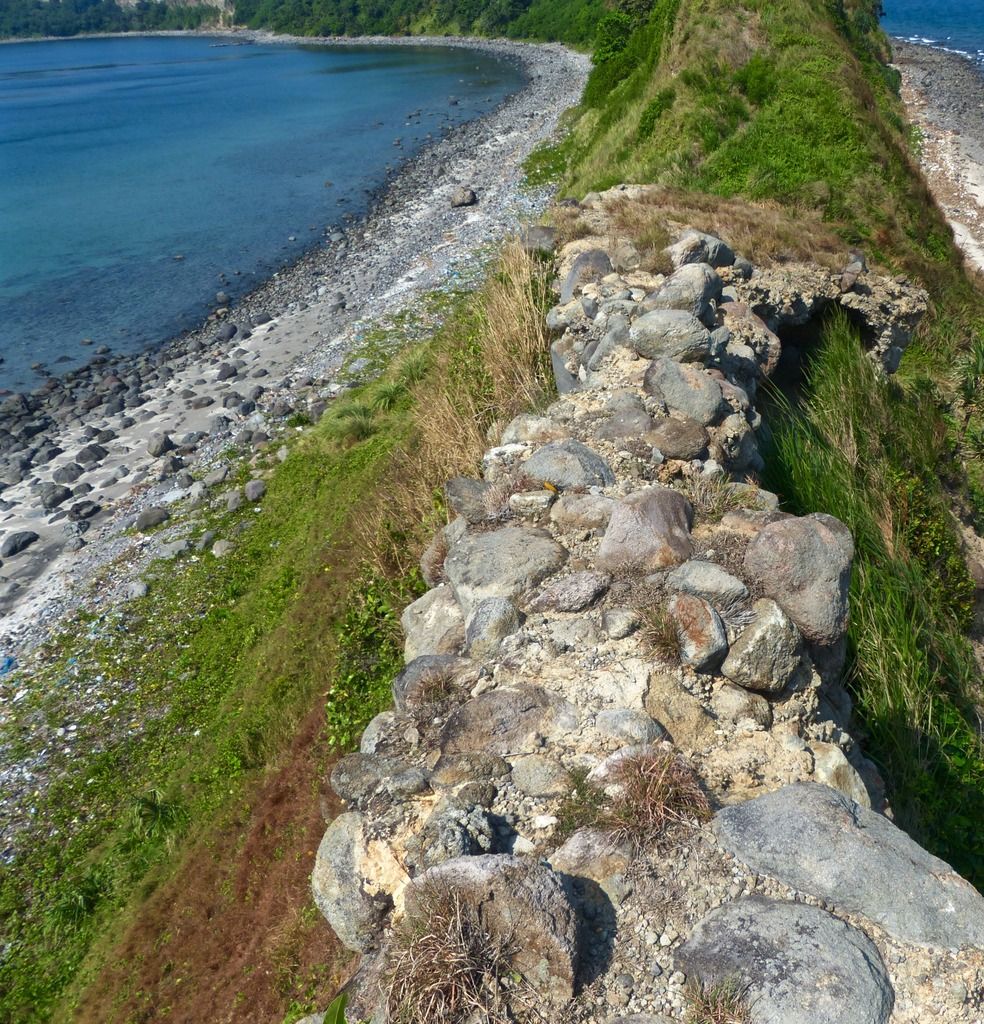 Looking back to the crumbly rock walkway. 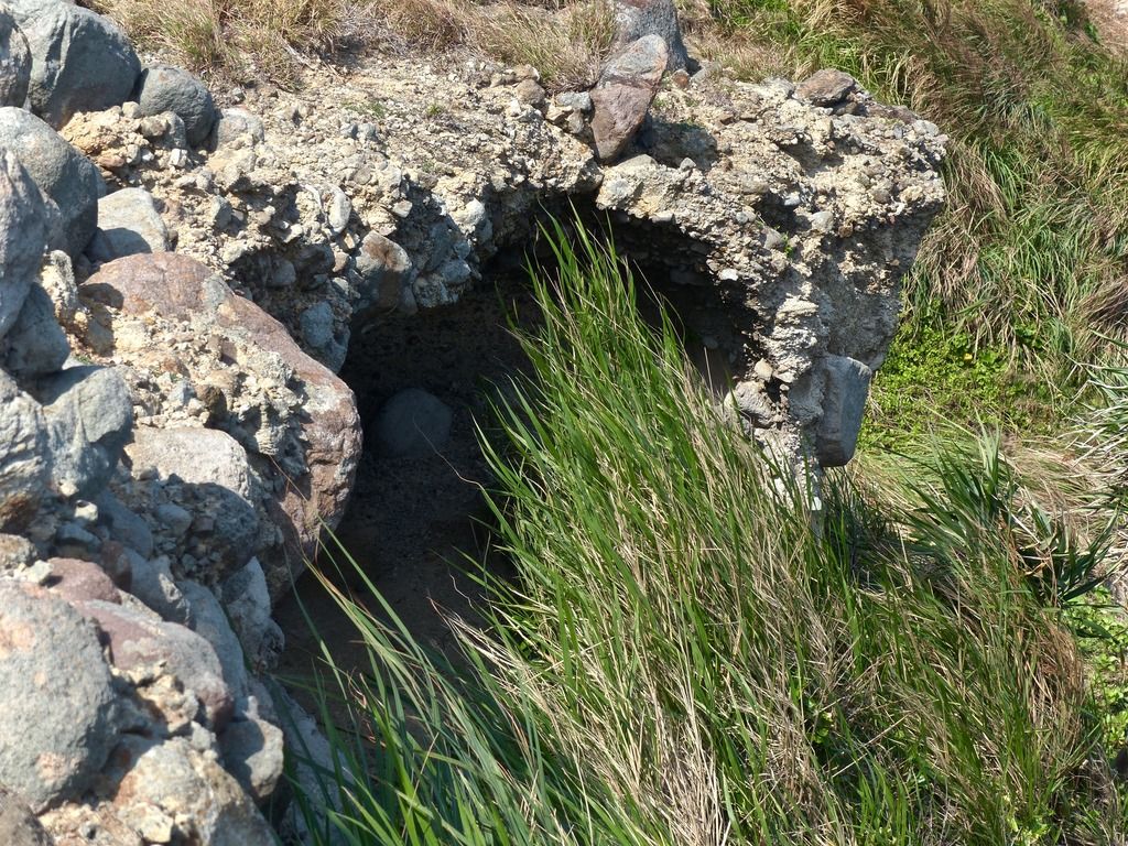 The edges of the rocky area have eroded. 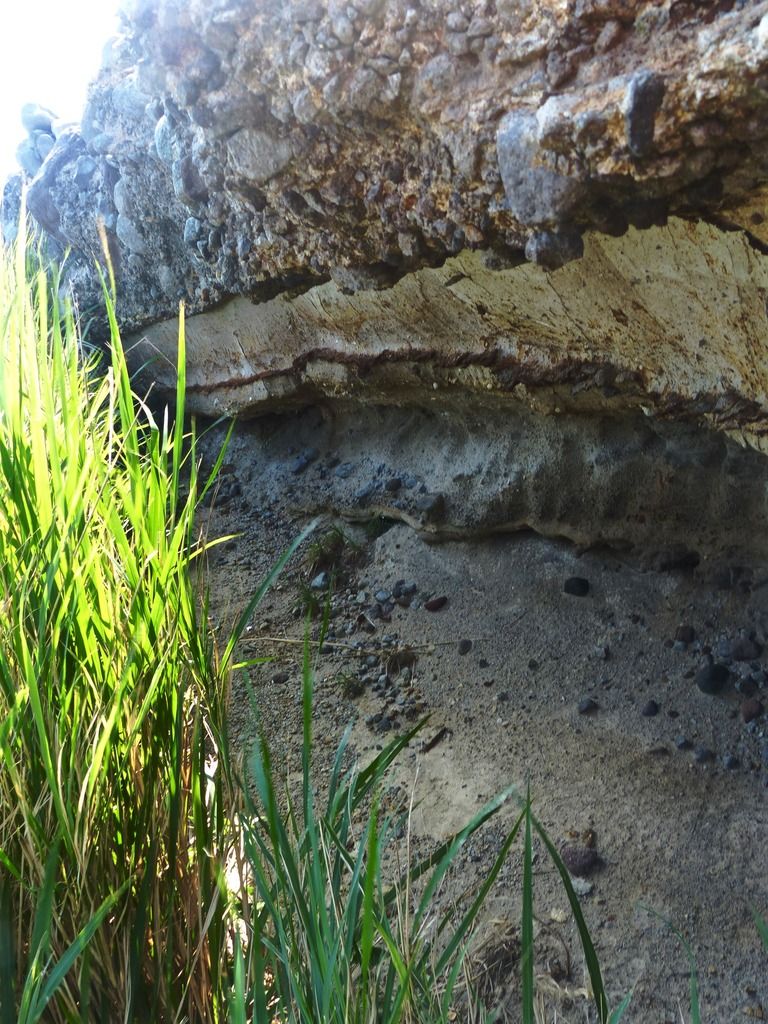 I took a number of photos of the landscape. It's weird for me to think about how many people died in the area during the siege. I also know very little about what the emplacements looked like during the war. How much of these formations are due to erosion and how many of them are the remains of man made dugouts and the like? 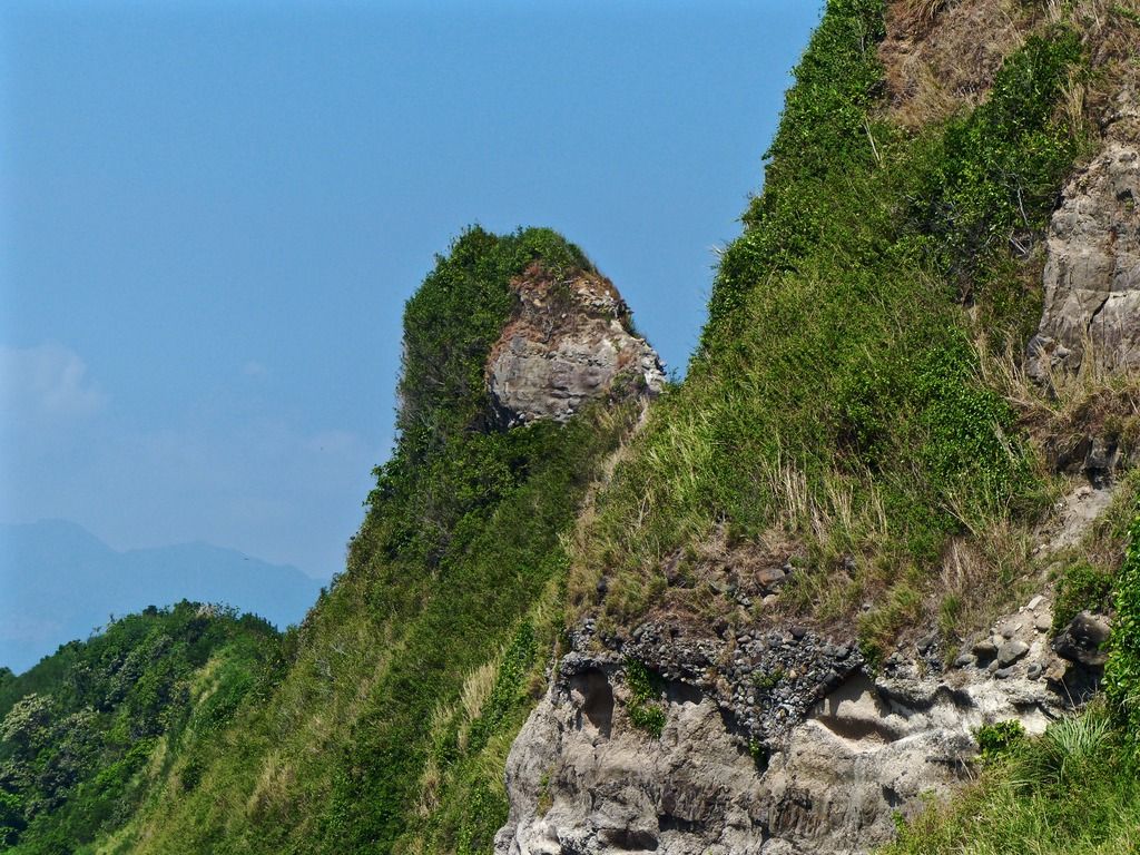 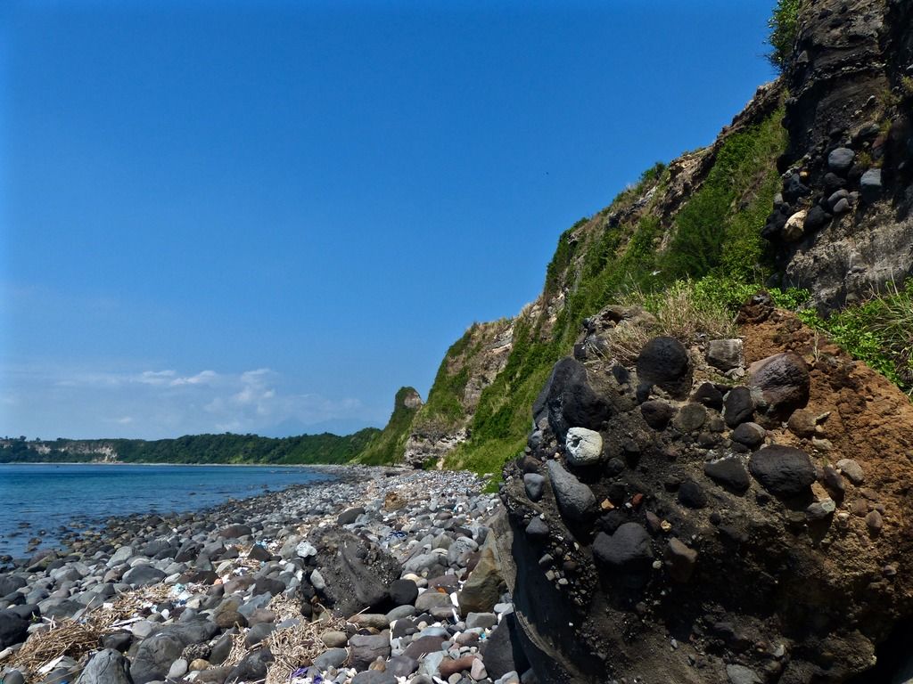 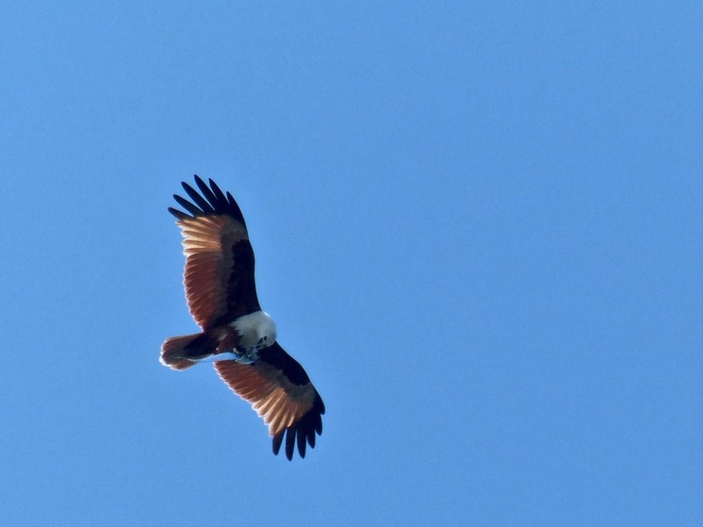 A bird of prey in the sky with a fish. 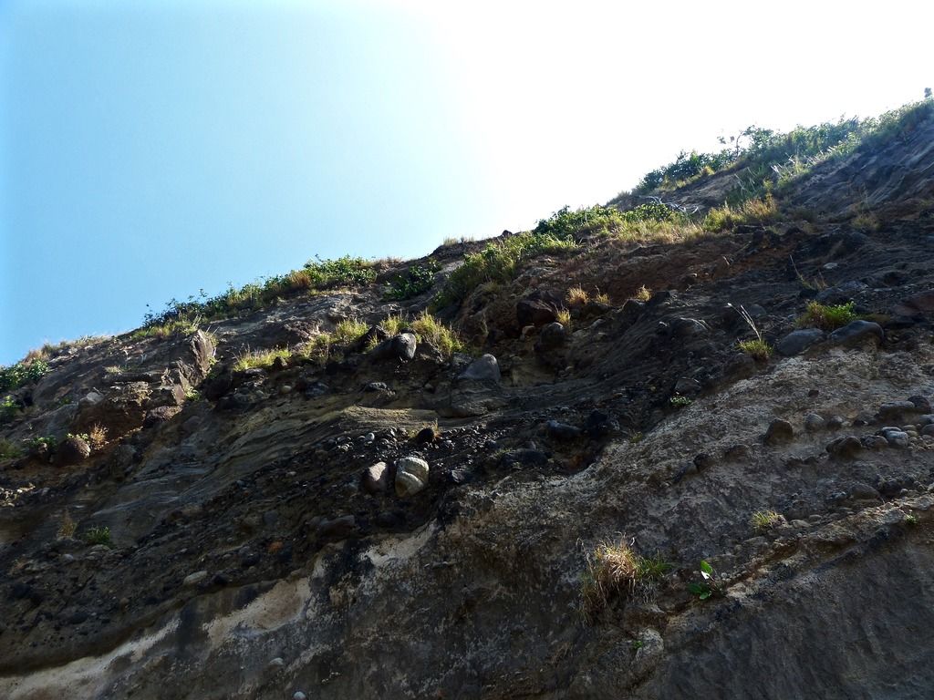 Looking up the cliff. 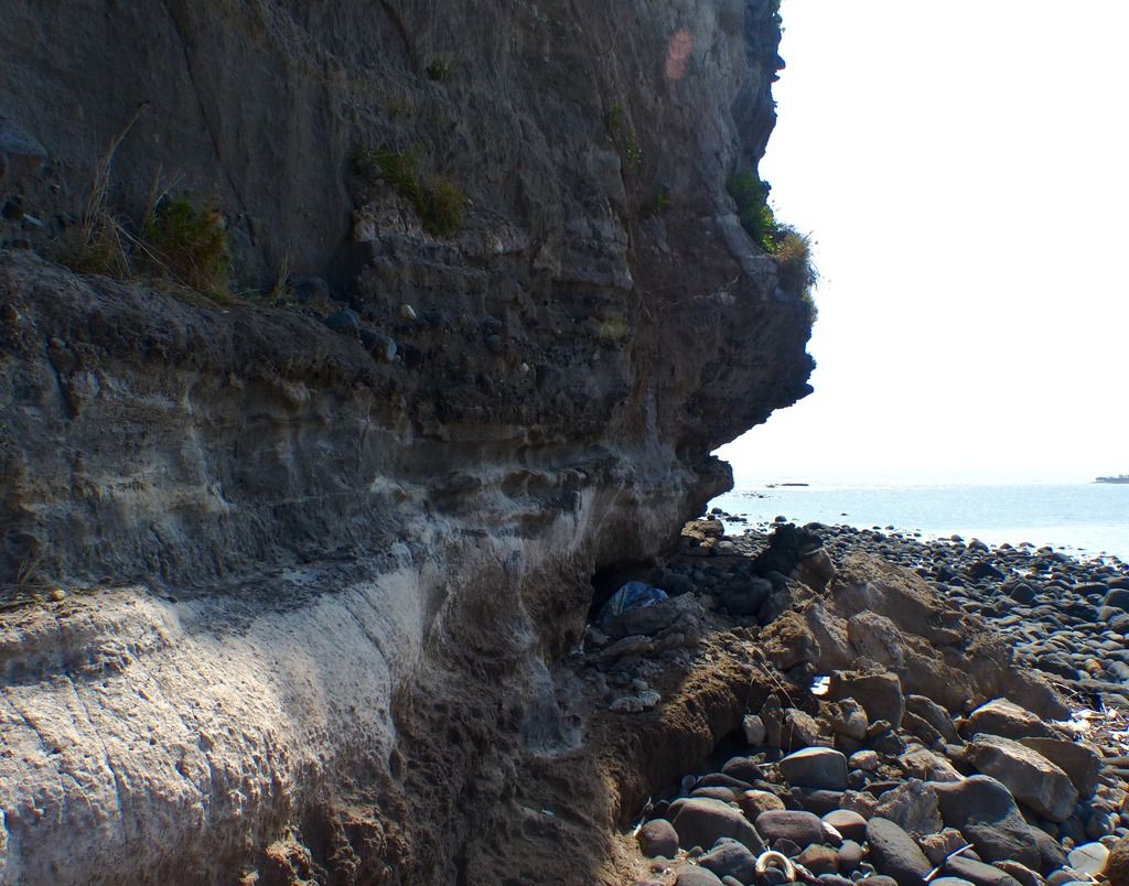 About to round the easternmost point of the island. 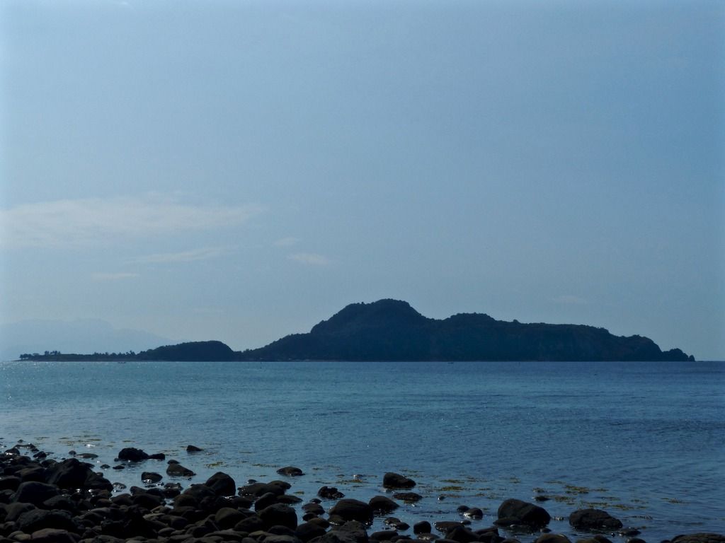 This is as close to Caballo as I've ever been. 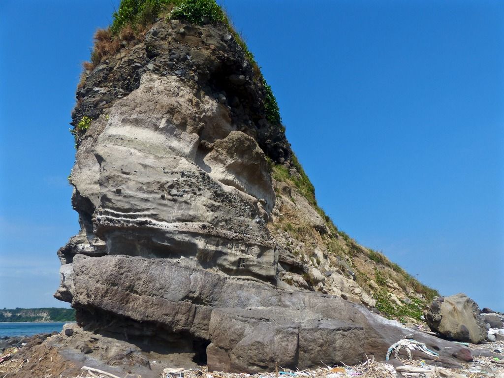 East Point. 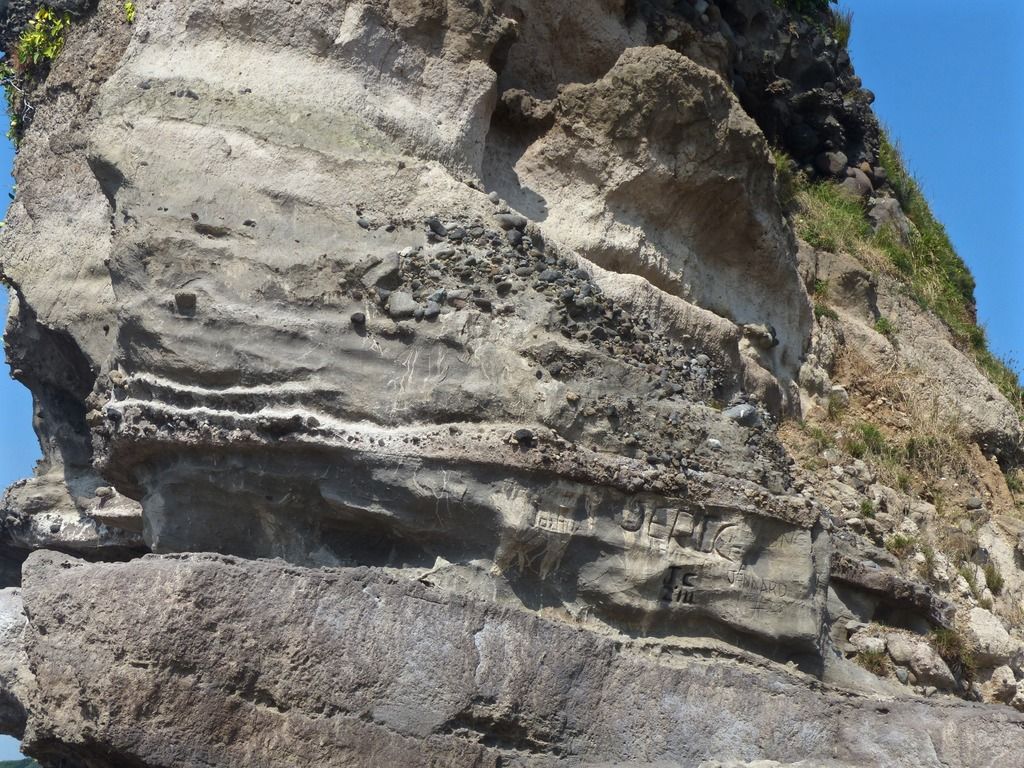 A close up on East Point and some of the graffiti carved into the soft stone. 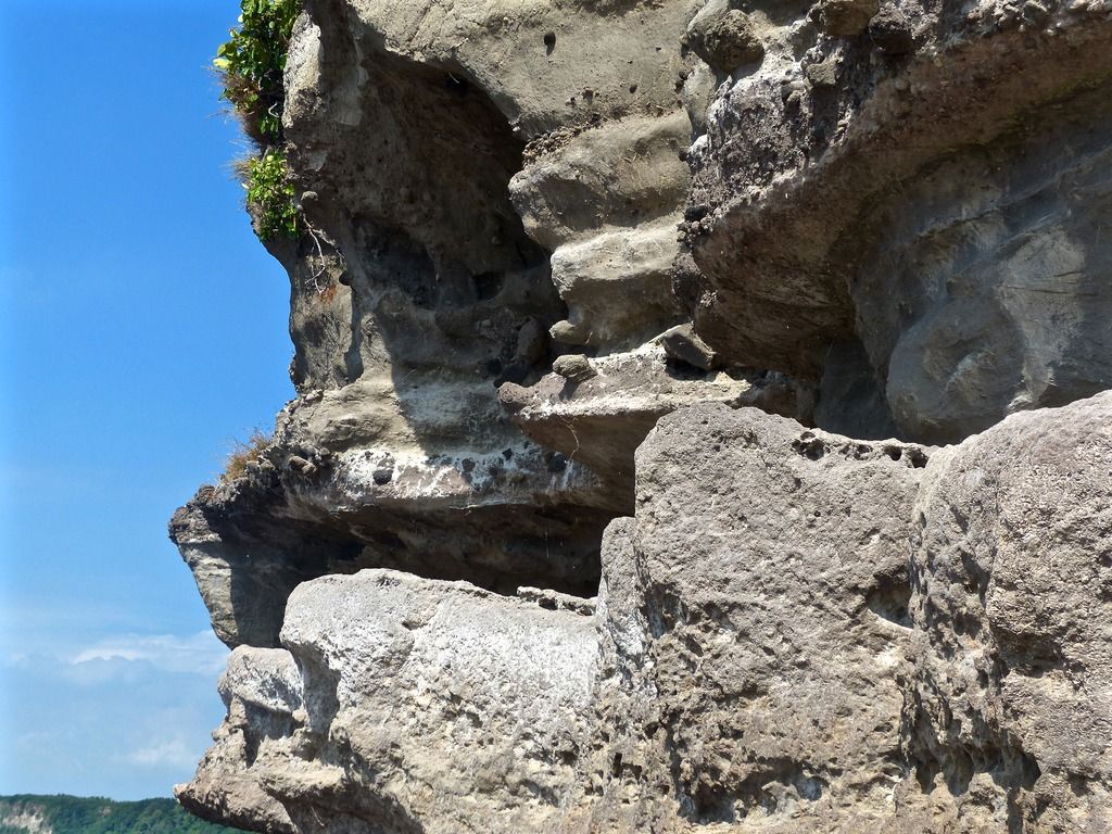 Another close up on East Point. 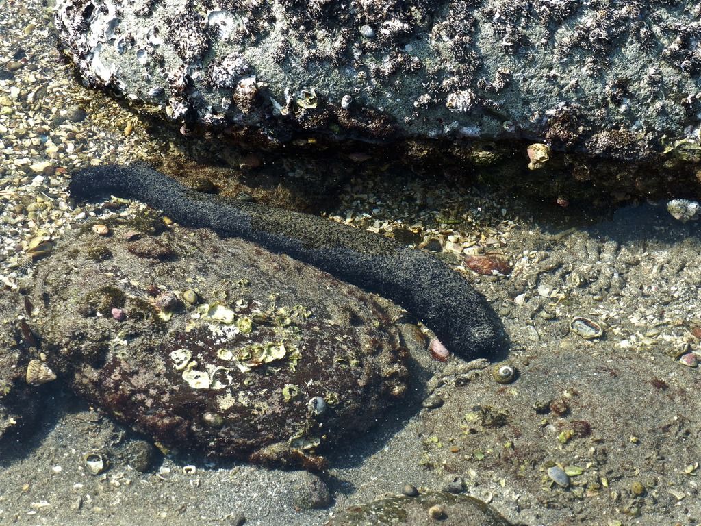 Depending on the time of day, the tide between East Point and Razor Island can vary considerably. This is one of the many sea cucumbers I saw on my way. 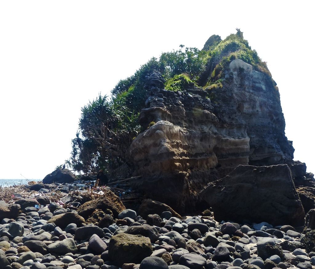 Here's the shot I took of Razor Island. There were a number of fisherman eating lunch in the area so I didn't want to disturb them to take more photos. On a future trip I'd like to climb to the top of the island and take some photos from there. |
|
|
|
Post by piercebennett on Feb 5, 2017 1:16:13 GMT 8
beirutvet
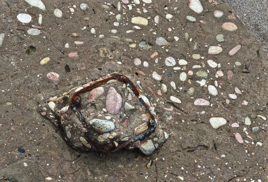
I unfortunately don't have any other photos of the metal. If I had to guess the size, I think it's probably about two and a half inches wide.
|
|
|
|
Post by piercebennett on Feb 4, 2017 3:24:11 GMT 8
Day 9, Part 1I spent my time on the tail end of the island on this day.
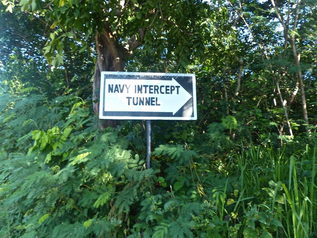 The sign to the Navy Radio Intercept Tunnel. 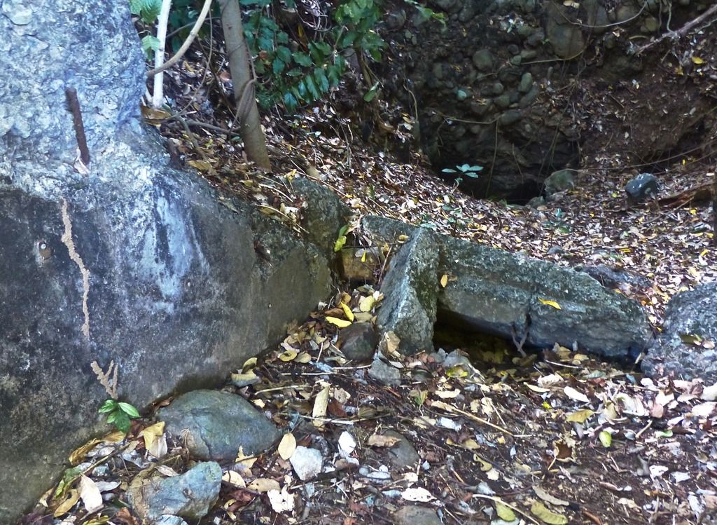 The entrance is quite small these days. 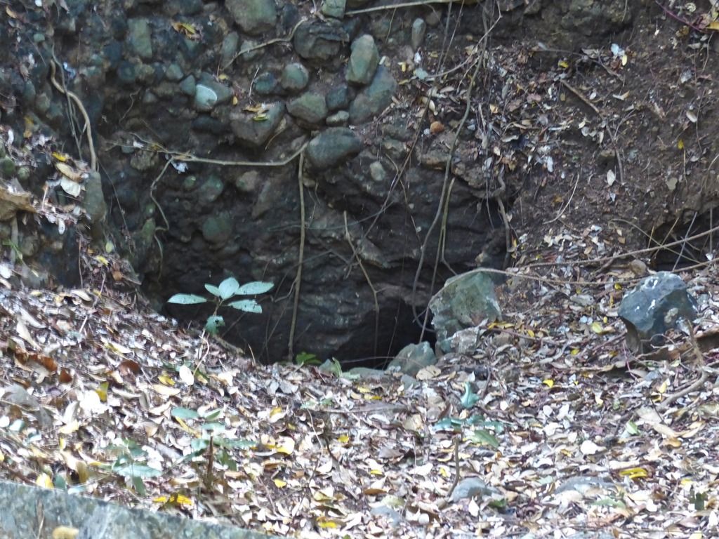 A close up on the opening. 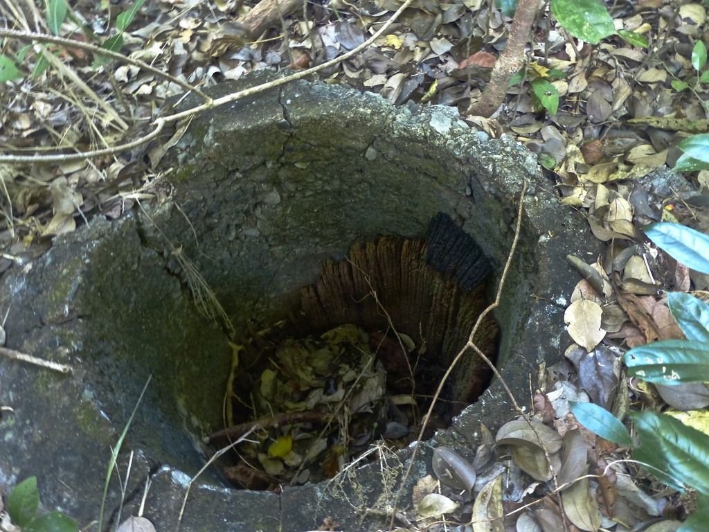 Nearby are the remains of an old wooden pole. I'm surprised any wood remains at all after all this time.  Along the road there is a chunk of concrete.  Another piece nearby. 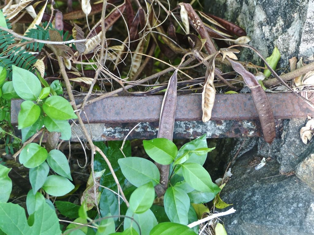 A piece of metal rebar poking through the cement. 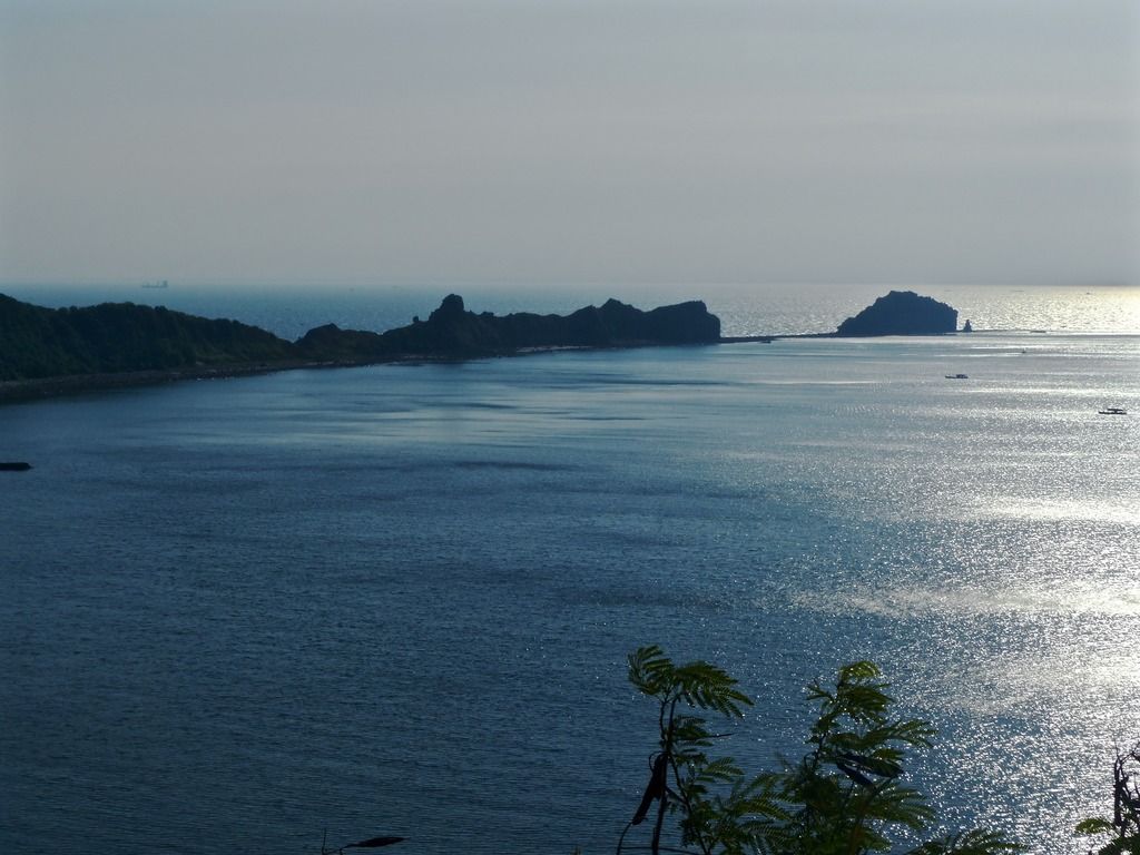 Continuing east, I snapped a shot of the tail. 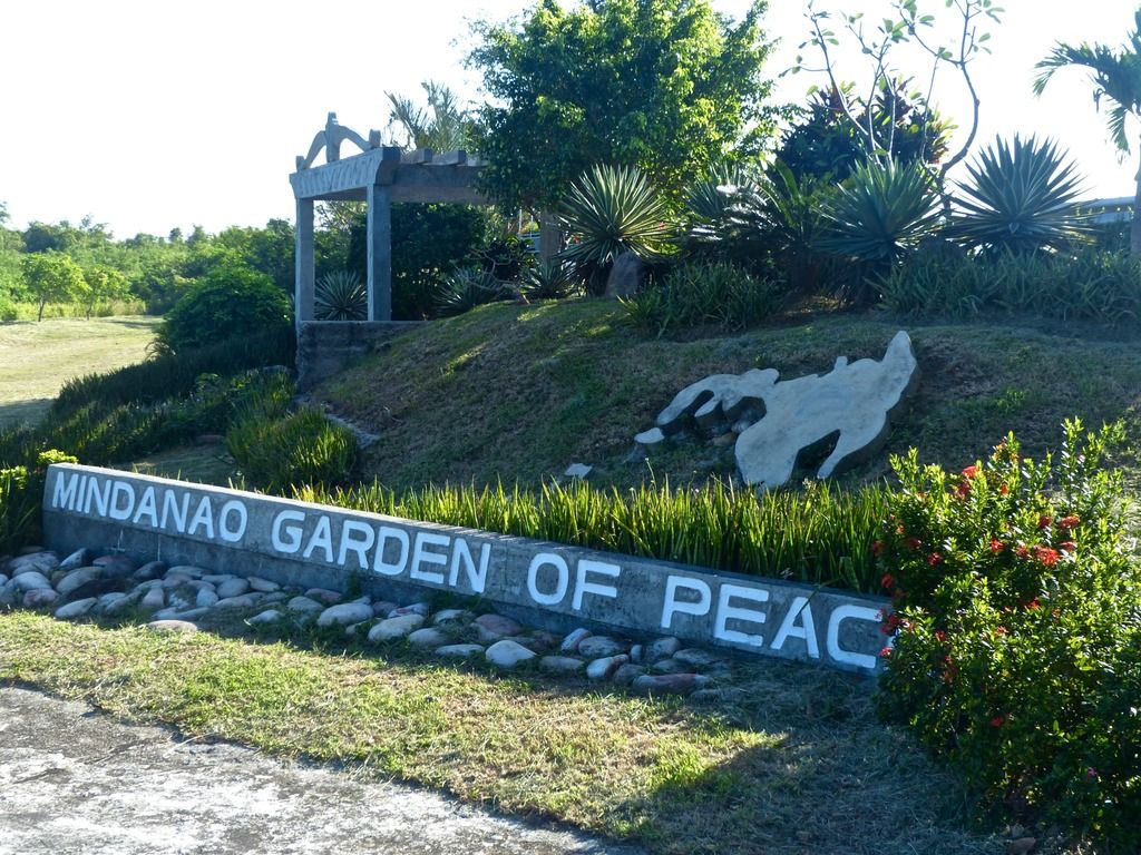 The Mindanao Garden of Peace is here on the tail. 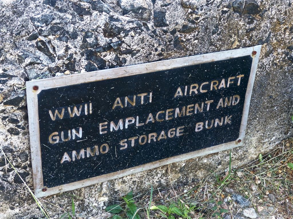 They repurposed some older emplacements and I appreciate the labeling of what these used to be. 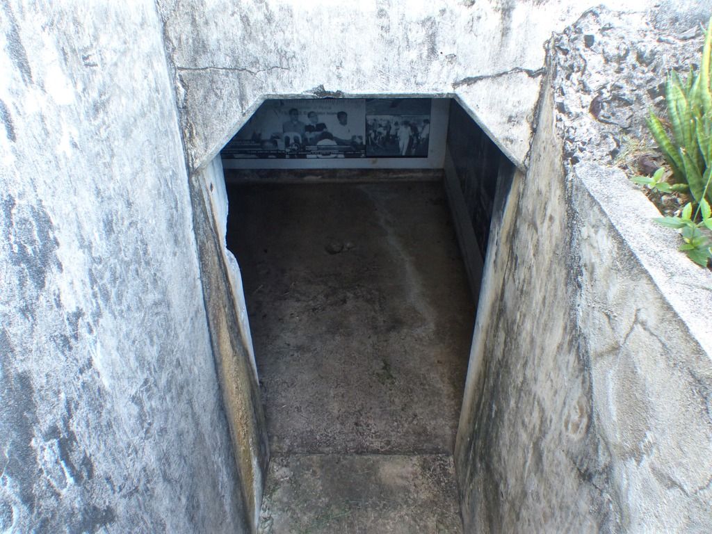 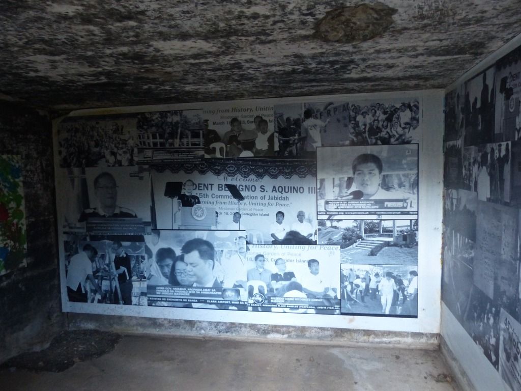 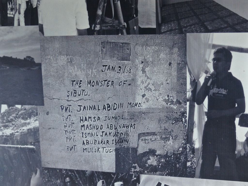 A photo of what is written on one of the walls of the hospital. 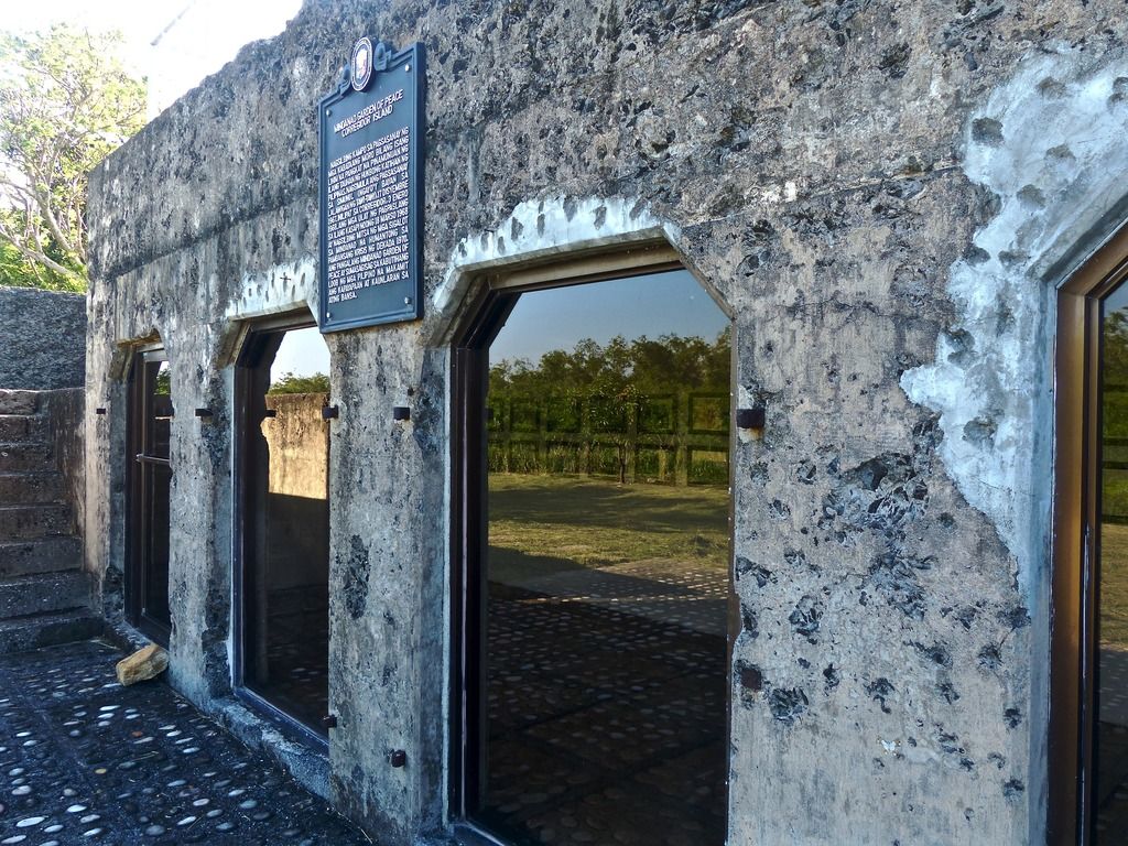 Another emplacement that was repurposed. 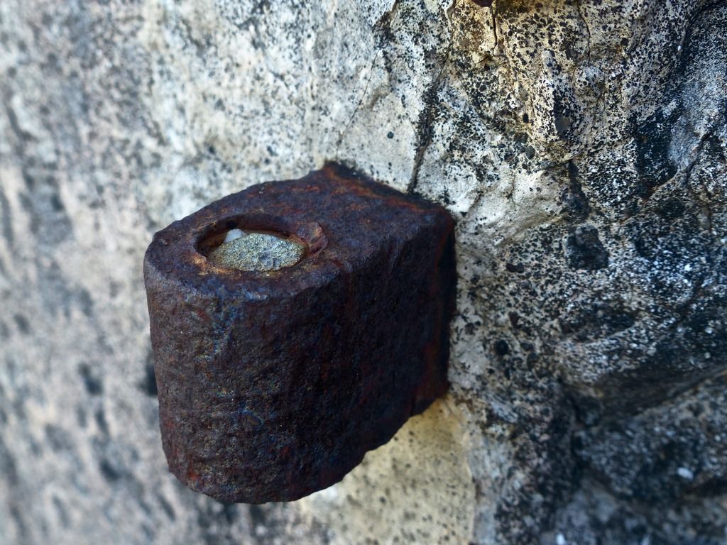 A remaining rusty hinge. 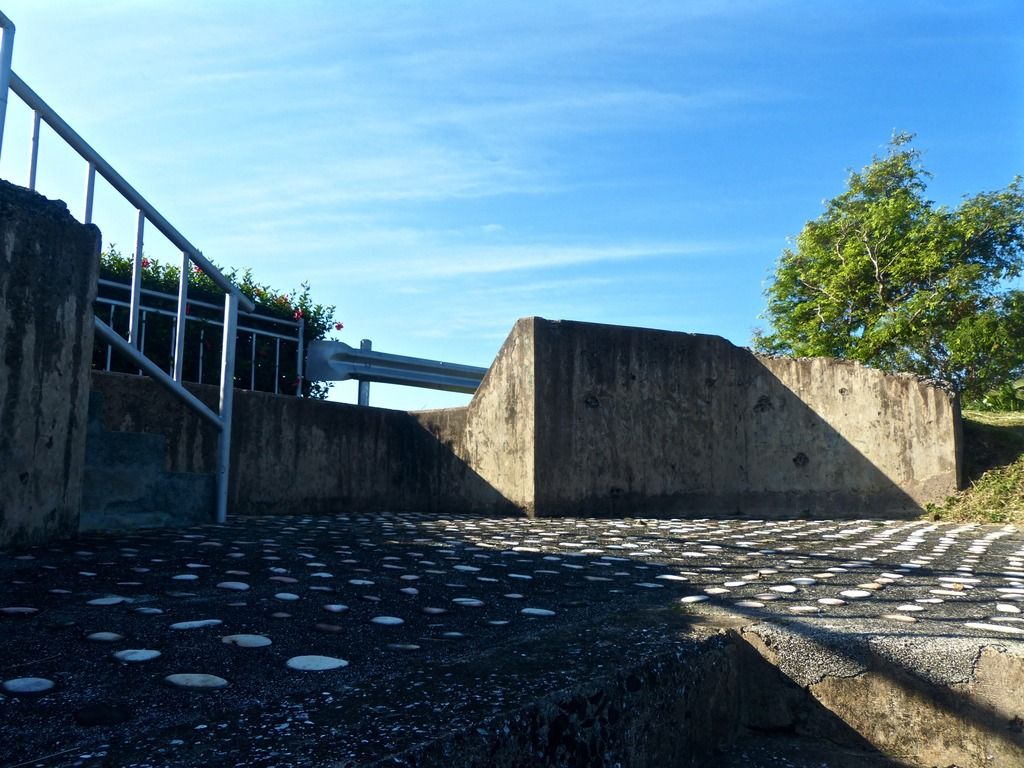 They redid the floors of the emplacement and added some stones.  A tree has grown here in the concrete. 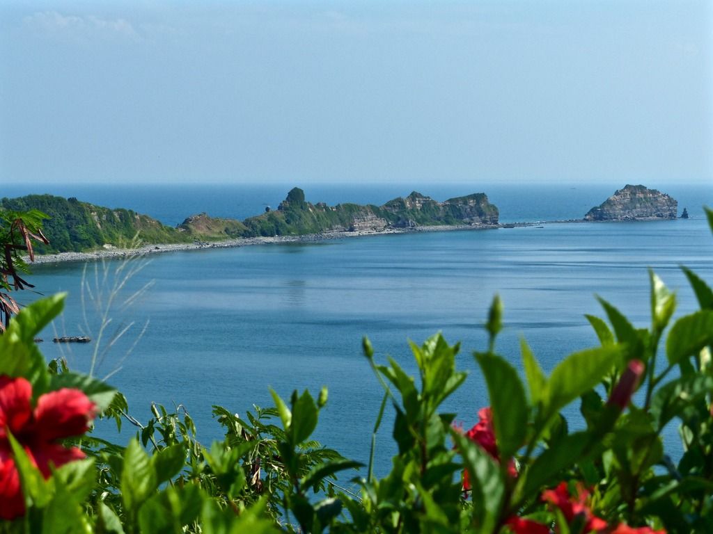 Another view of the tail and Razor Island from the top of the emplacement. |
|
|
|
Post by piercebennett on Feb 1, 2017 8:13:38 GMT 8
beirutvet
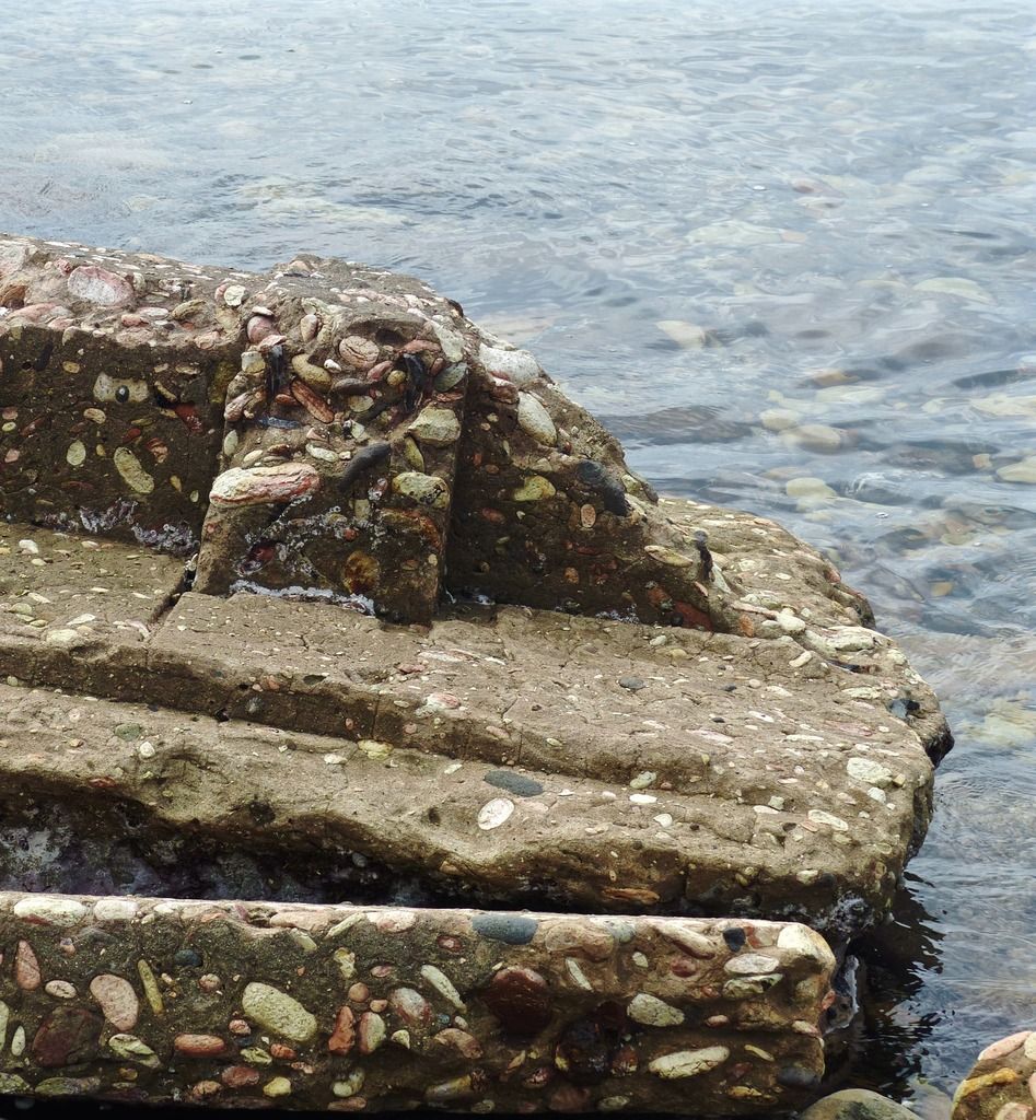
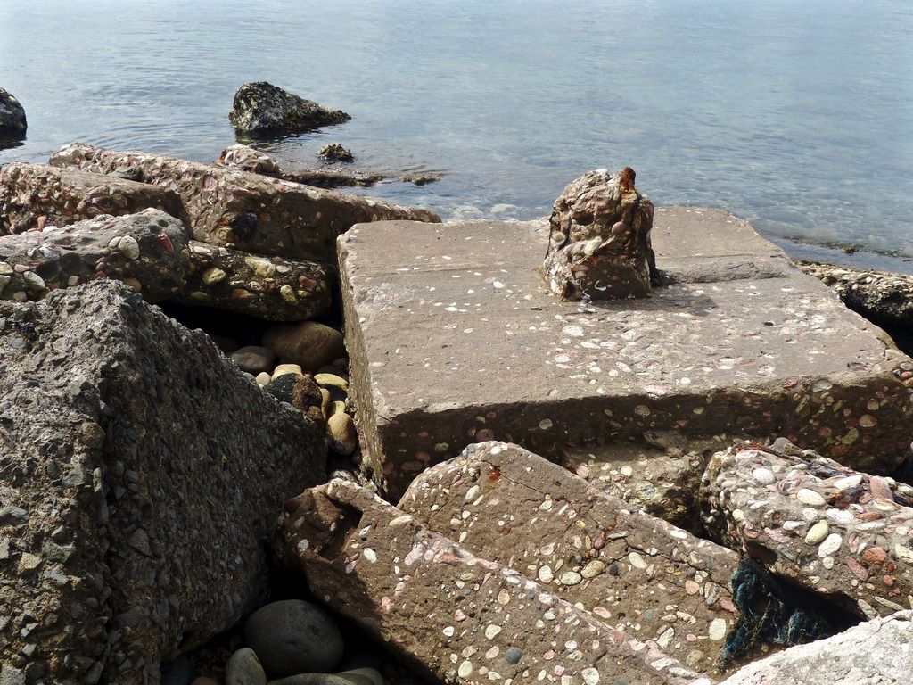
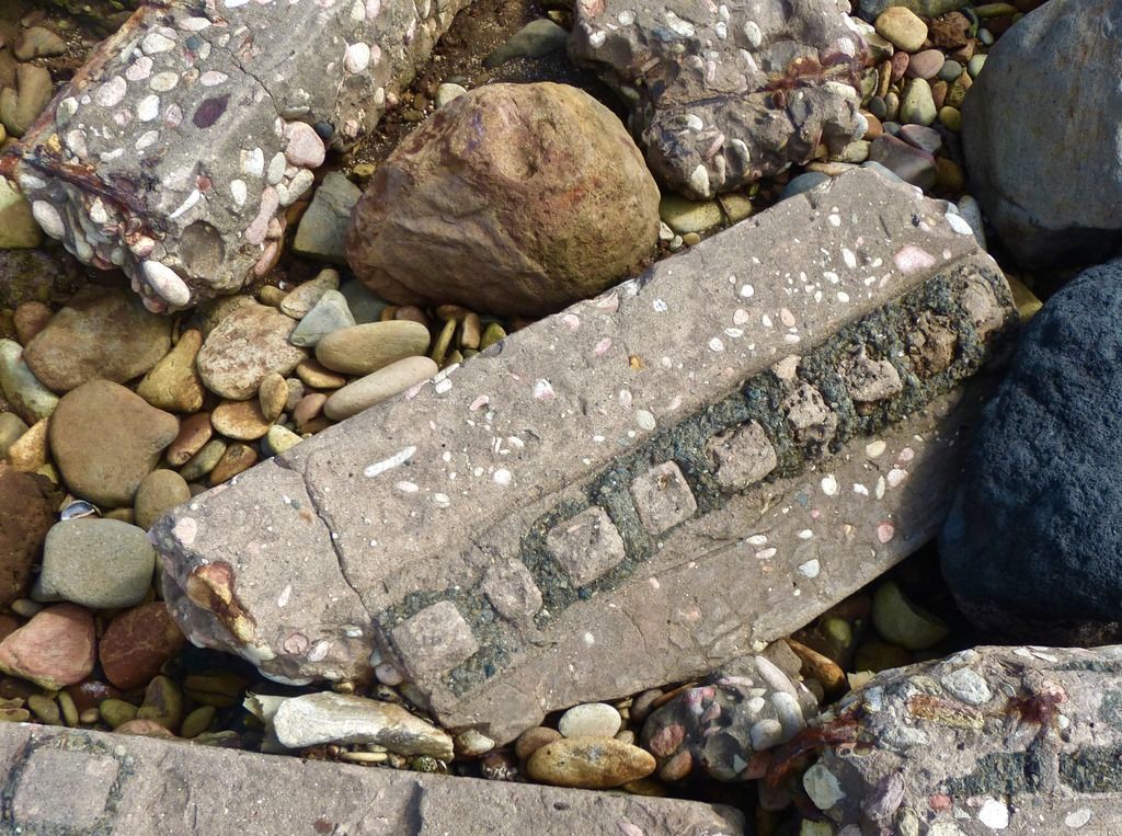
Thanks for the support! Those are in fact bloodstones. There are loads of them along the beach there, so I would imagine they mixed the concrete with stones from the area. I took pictures for 10 days, so day 9 and day 10 will be the last two days I post. hopefully I'll get them up before too long. There are around 50 photos for day 9 and around 200 for day 10.
|
|
|
|
Post by piercebennett on Feb 1, 2017 3:20:43 GMT 8
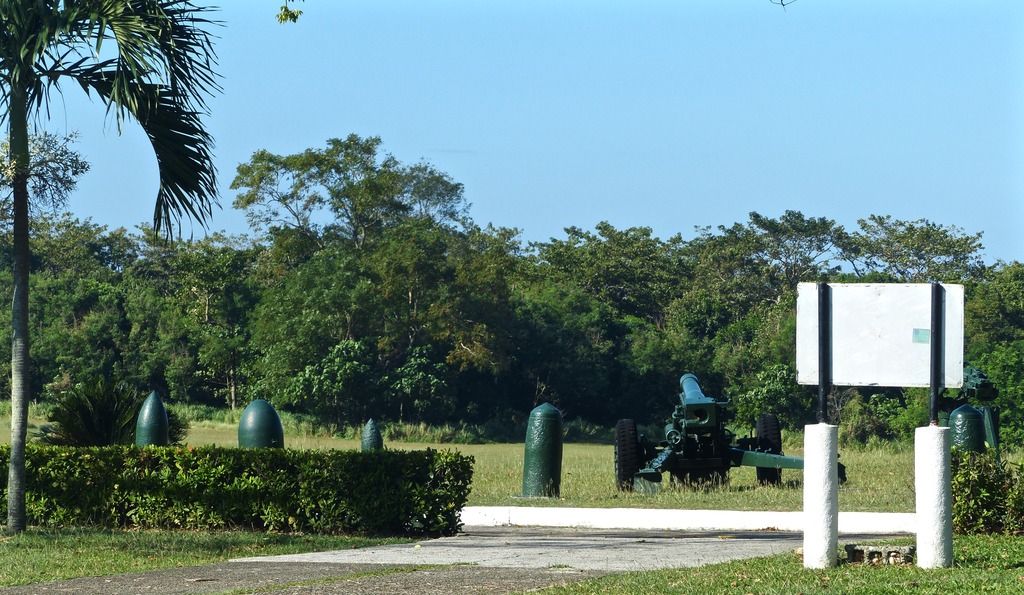
Day 8, Part 2I continued east around Camp Point.
Before going around the point I took a few photos of the scenery.
|
|