Post by Karl Welteke on Dec 4, 2012 18:01:47 GMT 8
Carabao Island, ex Fort Frank via Cavite with fots2 2012-11-23
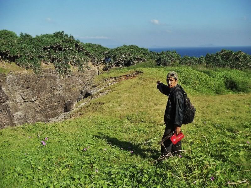
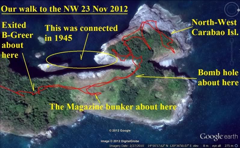
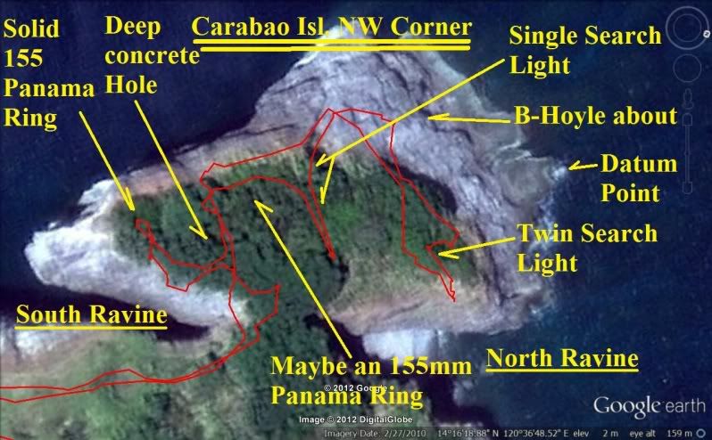
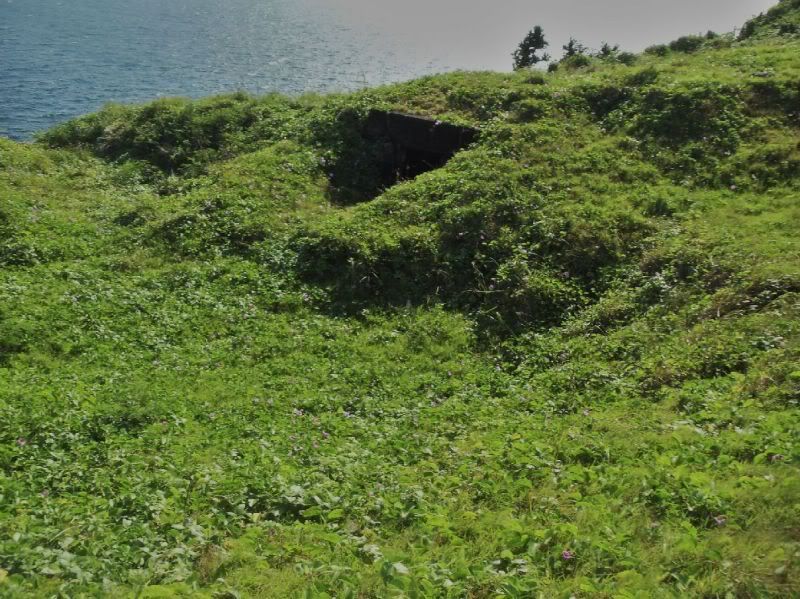
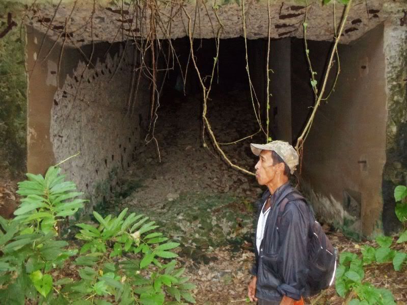
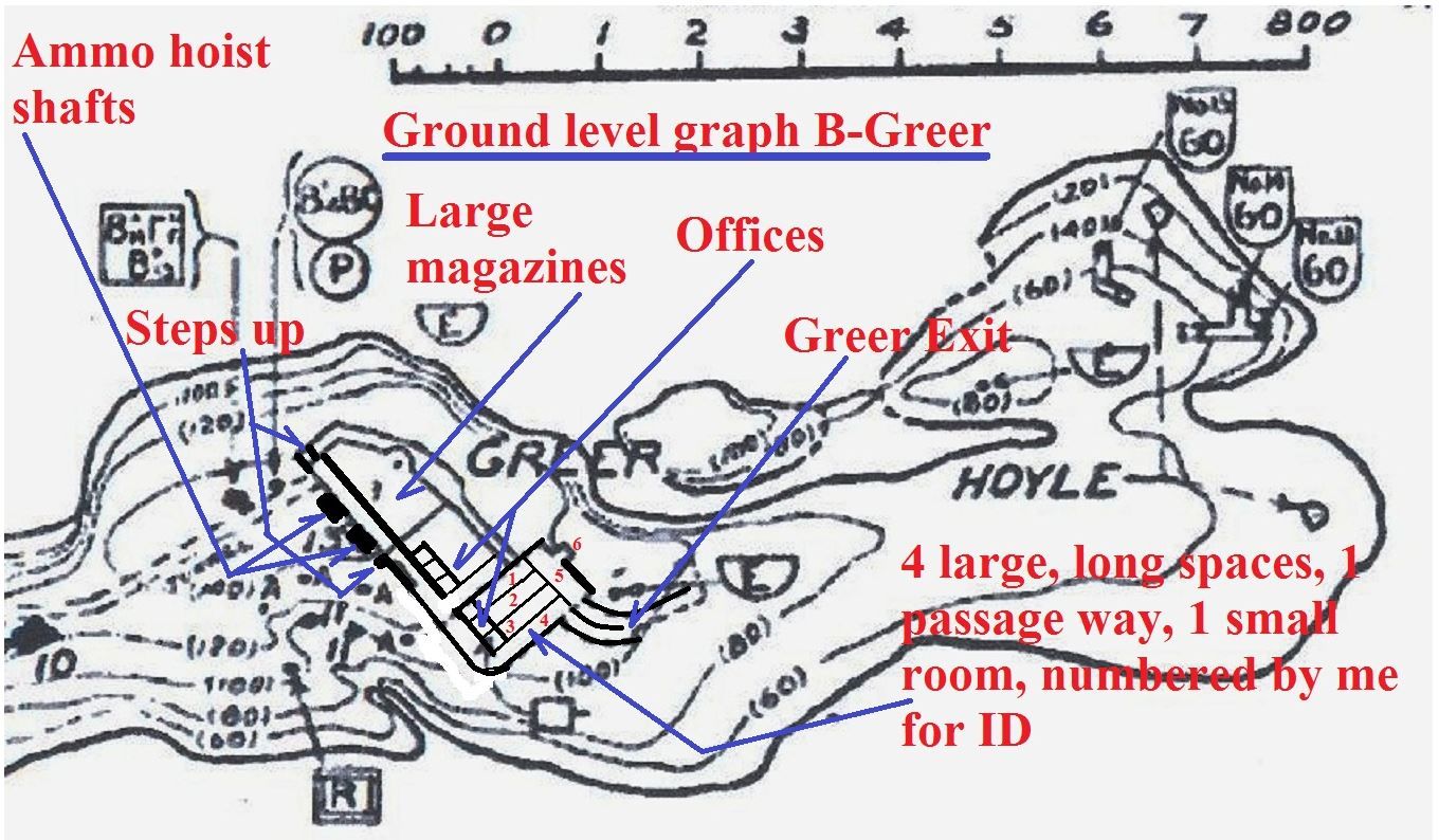
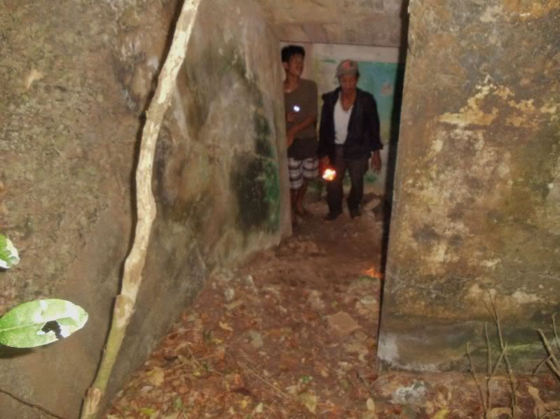
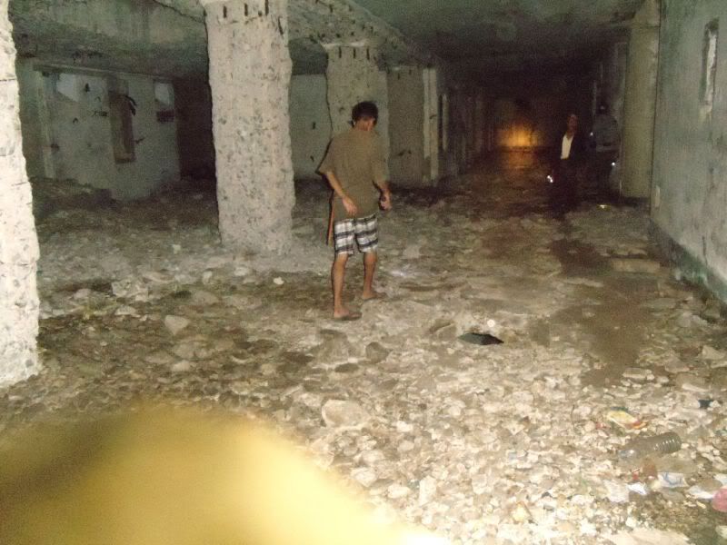
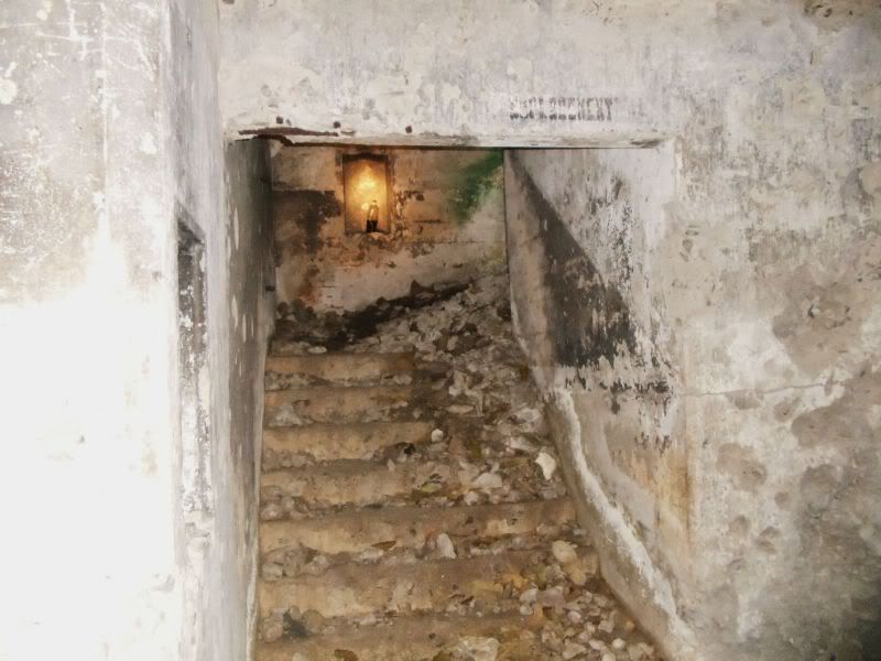
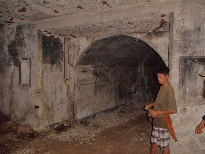
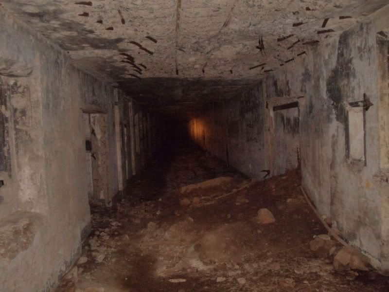
John and I wanted to go to Limbones Island but the boat crew took us to Carabao Island instead hogging the coast getting there. We got a boat from Santa Mercedes, south of Carabao Island which belongs to Maragondon Town, Cavite, but we drove there via Nasugbu. We explored 1st the NW end of the island and then Battery Greer. John also had a good look at Battery Koehler. We also investigated a new approach from the south ravine, opposite of the wall and decided against it
I’m presenting this trip in segments this is the 1st one!
Here are my first 33 images in my Photobucket account which all have descriptions:
app.photobucket.com/u/PI-Sailor/a/74135eca-a6dc-4699-b26d-9f899535cedc?field=TITLE&desc=asc
If it doesn’t open, try copy and paste in a browser!
Here are some sample images:
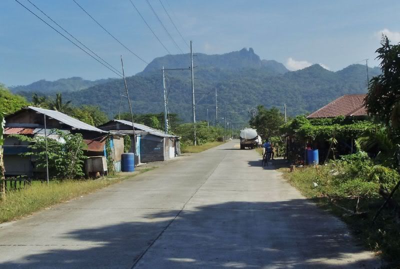
On our way to Barangay Santa Mercedes from Nasugbu City. At this time Santa Mercedes only can be reached this way. The village is maybe 1 km directly south of Carabao Island. The Pico de Loro is dead ahead.
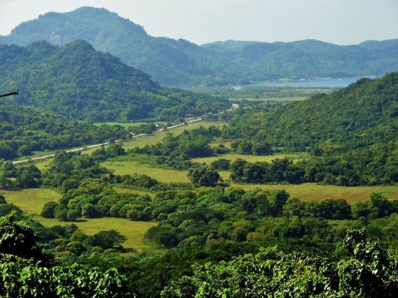
A look back where we came from, we are crossing now the last ridge to Santa Mercedes.
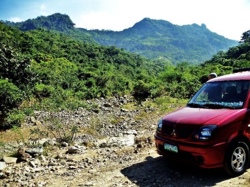
The river to Santa Mercedes with my car and the Pico de Loro
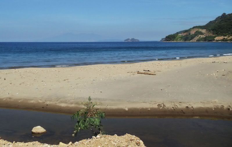
We reached Santa Mercedes, Carabao Island is in site. At right is the new road to the Ternate-Nasugbu Tunnel.
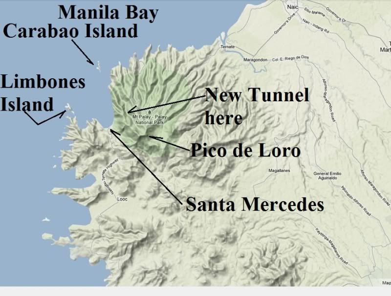
The map for this album as to where the islands are, where Santa Mercedes is, the tunnel and Pico de Loro.
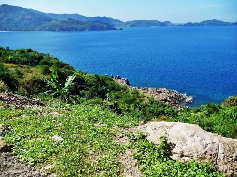
At right is Limbones island and below was, we were told, a quarry operation.
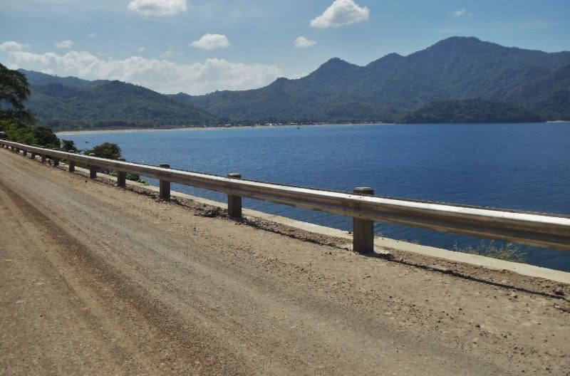
On our way to check the progress on the tunnel, at right and back is Santa Mercedes village. The road to Santa Mercedes crosses the low ridge at left.
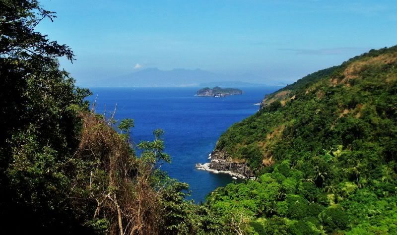
My photo shot of the ex Fort Frank, way across the bay we also can see Corregidor and Bataan.
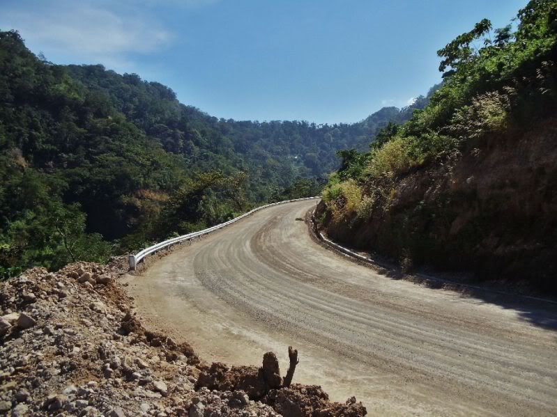
This section of the road to the Ternate-Nasugbu Tunnel is practically finished, I think they are going to use asphalt.
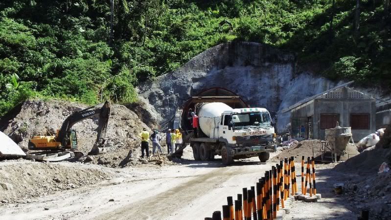
This concrete truck came thru the tunnel from the Ternate side. They are working on culvert underneath there.
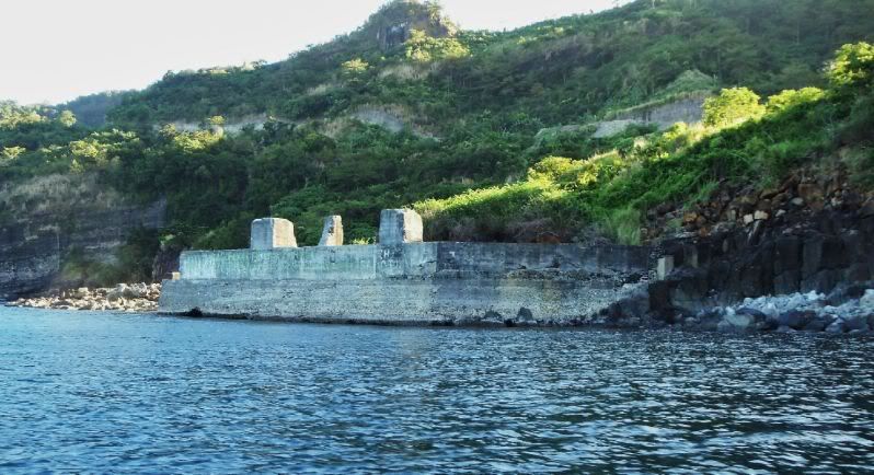
On the way to Carabao island we passed this abandoned quarry site.
We are on our way to Carabao Island, the boat is hugging the shoreline on the east side of this large Limbones Cove (name came from an Army map)
This is a bay just west of the Philippine Marine Base, did Fort Frank get its water from this cove?
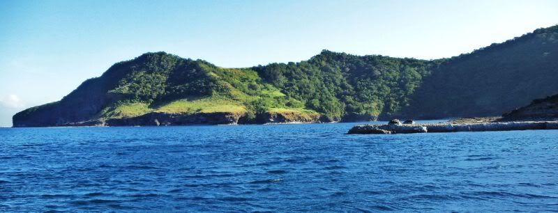
We approaching this slot, we want to check it out as to whether Carabao island can be entered here. This certainly the most calm water anywhere around the island and that is why we want to look.
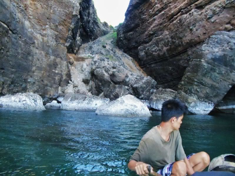
A closer look as to what we on our mind. Those rocks in front are blocking our way!
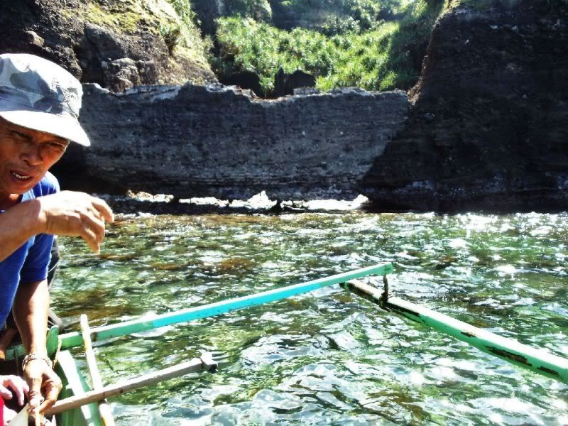
The son of our boat driver and owner is giving directions. Up ahead at left and up is something that looks like a wall. Fots2 thought so but how can we be sure. If we could get there the rocks in back could be climbed.
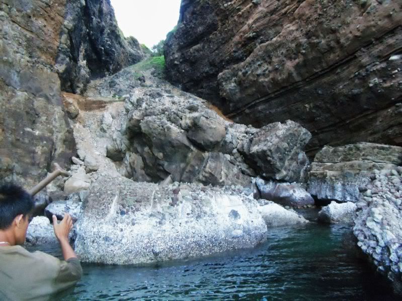
It is just to difficult with these outrigger boats, there was water behind this rock.
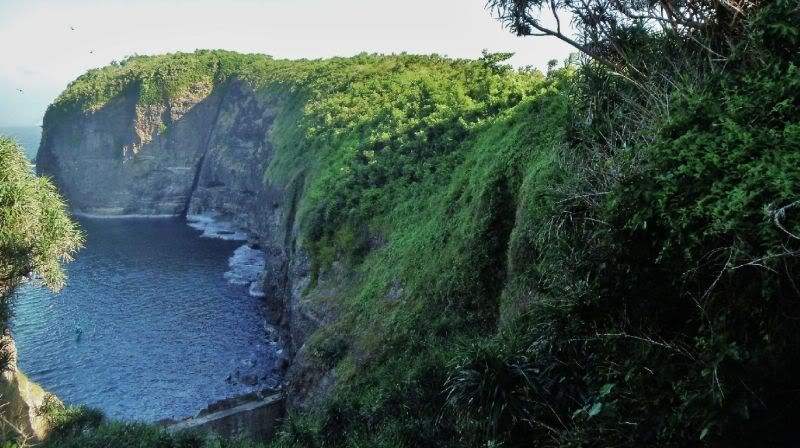
We gave up and here is a last look at the left steep cliff at this possible entrance point.
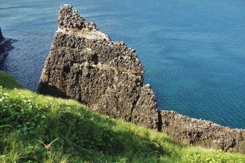
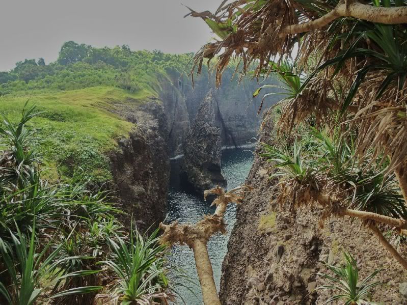
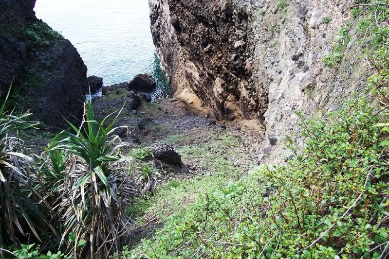
This is a 2009 Nov. 15 image from above, I had the feeling it might be possible. I still think it is possible with a different boat and planks
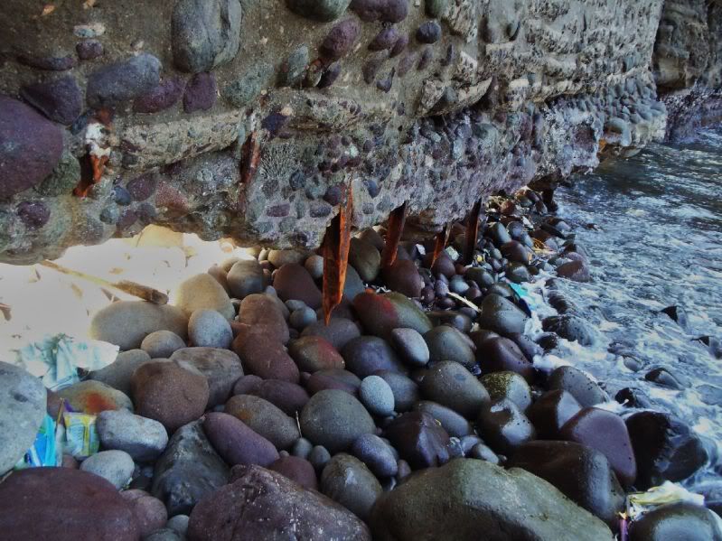
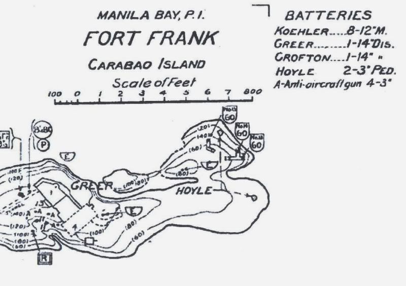
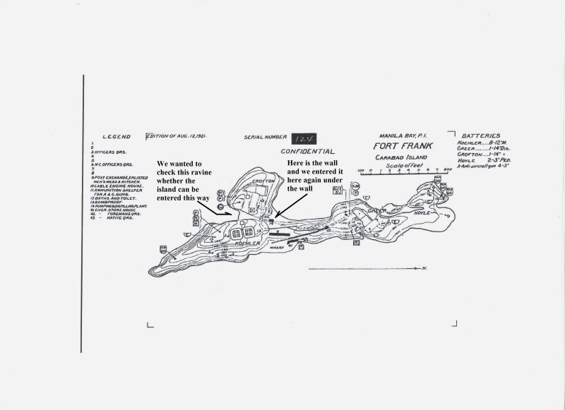
Here is a 1921 CDSG graph of Fort Frank and I marked the spots where we tried a new way to enter and on the opposite side where we did enter, Under the Wall.
Wow, 16 out 16 images uploaded!!!!!!!!!!!!
John and I wanted to go to Limbones Island but the boat crew took us to Carabao Island instead hogging the coast getting there. We got a boat from Santa Mercedes, south of Carabao Island which belongs to Maragondon Town, Cavite, but we drove there via Nasugbu. We explored 1st the NW end of the island and then Battery Greer. John also had a good look at Battery Koehler. We also investigated a new approach from the south ravine, opposite of the wall and decided against it
I’m presenting this trip in segments this is the 1st one!
Here are my first 33 images in my Photobucket account which all have descriptions:
app.photobucket.com/u/PI-Sailor/a/74135eca-a6dc-4699-b26d-9f899535cedc?field=TITLE&desc=asc
If it doesn’t open, try copy and paste in a browser!
Here are some sample images:
On our way to Barangay Santa Mercedes from Nasugbu City. At this time Santa Mercedes only can be reached this way. The village is maybe 1 km directly south of Carabao Island. The Pico de Loro is dead ahead.

A look back where we came from, we are crossing now the last ridge to Santa Mercedes.

The river to Santa Mercedes with my car and the Pico de Loro

We reached Santa Mercedes, Carabao Island is in site. At right is the new road to the Ternate-Nasugbu Tunnel.

The map for this album as to where the islands are, where Santa Mercedes is, the tunnel and Pico de Loro.

At right is Limbones island and below was, we were told, a quarry operation.

On our way to check the progress on the tunnel, at right and back is Santa Mercedes village. The road to Santa Mercedes crosses the low ridge at left.

My photo shot of the ex Fort Frank, way across the bay we also can see Corregidor and Bataan.

This section of the road to the Ternate-Nasugbu Tunnel is practically finished, I think they are going to use asphalt.

This concrete truck came thru the tunnel from the Ternate side. They are working on culvert underneath there.

On the way to Carabao island we passed this abandoned quarry site.

We are on our way to Carabao Island, the boat is hugging the shoreline on the east side of this large Limbones Cove (name came from an Army map)
This is a bay just west of the Philippine Marine Base, did Fort Frank get its water from this cove?

We approaching this slot, we want to check it out as to whether Carabao island can be entered here. This certainly the most calm water anywhere around the island and that is why we want to look.

A closer look as to what we on our mind. Those rocks in front are blocking our way!
The son of our boat driver and owner is giving directions. Up ahead at left and up is something that looks like a wall. Fots2 thought so but how can we be sure. If we could get there the rocks in back could be climbed.
It is just to difficult with these outrigger boats, there was water behind this rock.
We gave up and here is a last look at the left steep cliff at this possible entrance point.

This is a 2009 Nov. 15 image from above, I had the feeling it might be possible. I still think it is possible with a different boat and planks

Here is a 1921 CDSG graph of Fort Frank and I marked the spots where we tried a new way to enter and on the opposite side where we did enter, Under the Wall.

Wow, 16 out 16 images uploaded!!!!!!!!!!!!


