Carabao Isl., Ft. Frank Visit 2024-01-09
Thru a great Filipino Friend we received permission to visit the island from the Office of the Deputy Chief of Staff for Intelligence, J2 at the General Headquarters Philippine Armed Forces in Manila. The letter says confidential, so I won’t copy it here.
We went to Barangay Sta. Mercedes; the old name is Barrio Patungan, at Limbones Cove, Municipality of Maragondon, at the west slopes of Mt. Pico De Loro and visited old friends and arranged for boats and companions.
My impression by evidence on the island and speaking to the people of Sta. Mercedes ex Patungan is that the island is visited frequently by interested people that come to the Limbones Cove to enjoy their beautiful country and history; they just hire a banca boat and guides to do it!
I didn’t take many pictures because I have many already from 7 seven previous visits which are posted and I will link them later. My last visit was in 2014 and one thing I can say with certainty is, that in the open on the island, the vegetation growth, the thorny bushes, has/have become awful thick and it is very hard to get around on the island now!
I only made two albums, the next one only deals with the Ft. Frank Dock which is located mid-island on the Westside.
Here are two good links about Carabao Island, the ex Fort Frank:
-Fort Frank on Carabao Island under construction Karl’s Flickr Album
This album shows construction of Fort Frank on Carabao Island in Manila Bay. Fort Frank was part of the Manila and Subic Bay Harbor Defense Command. These images were given to me by Karl Schmidt from the Coastal Defense Study Group (CDSG.org) who got the images from National Archives and Records Administration (NARA). Thank you Karl and all members of the CDSG. The pictures were uploaded at a high resolution.
www.flickr.com/photos/44567569@N00/albums/72157673964028162-This is the URL for a group of album, 10 albums, all about Carabao Island on Photobucket:
app.photobucket.com/u/PI-Sailor/a/698227f9-0b3d-4c48-88c5-5210316b1856?field=TITLE&desc=asc
00 Carabao Isl. Ft. Frank. The man in the middle was one of the two boat crew members. The other two are my companions; we know them from our visit in 2012. So, they helped us again, left is Mr. Marlinito Gonzales Lucero, age 73 and right is Mr. Jeckson Lopez.
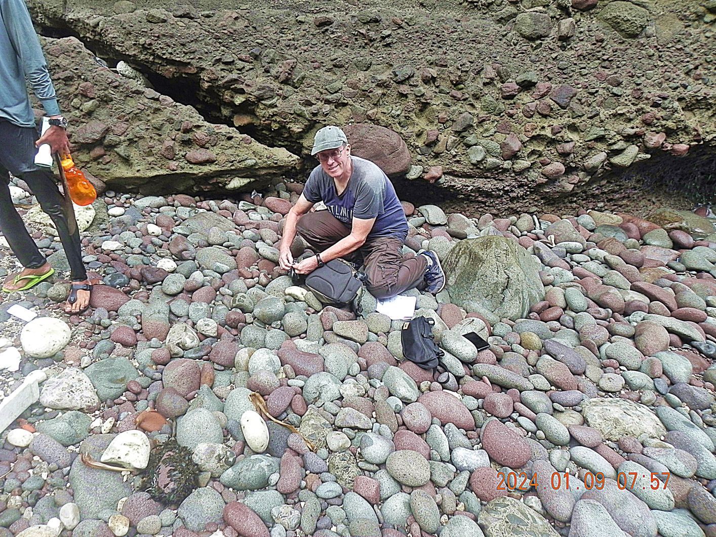
01 Carabao Isl. Ft. Frank. My friend John Moffitt and I have visited Carabao Island several times and we both have visited Corregidor Island over 60 times each.

02 Carabao Isl. Ft. Frank. This is the famous wall on Carabao Island, the ex Fort Frank. It is low tide and very easy to get under the wall.
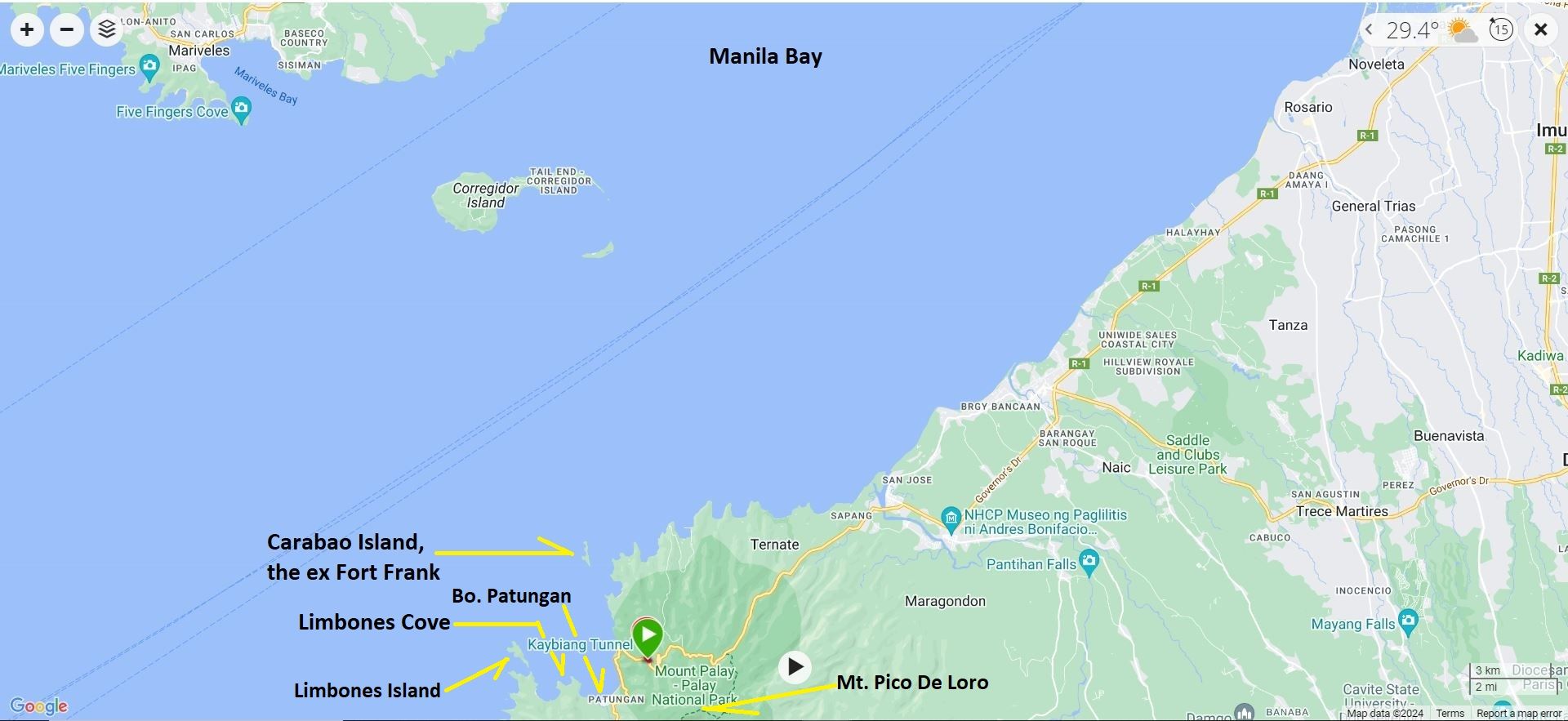
03 Carabao Isl. Ft. Frank. For your orientation here is a map as to where Carabao Island and the other landmarks are!

04 Carabao Isl. Ft. Frank. Once, a long time ago, a confidential map of Fort Frank on Carabao Island and marked with some factors about visiting the island.
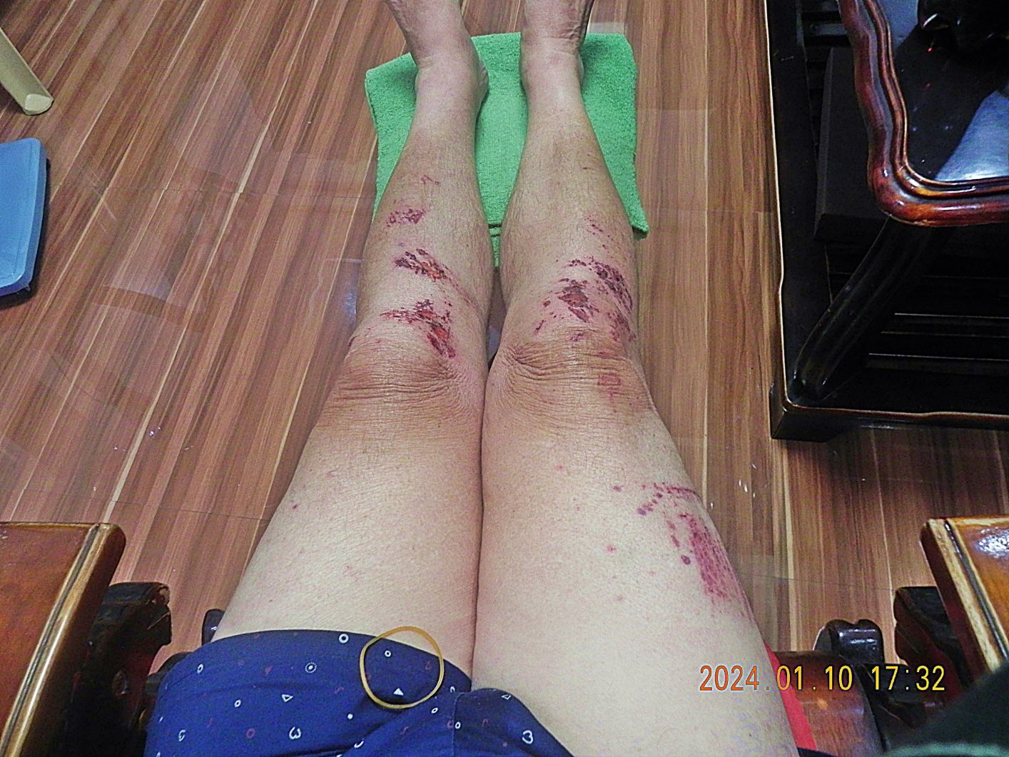
05 Carabao Isl. Ft. Frank. I’m showing this picture not for your sympathy but just to tell you I was dragging my butt today. This happened the day before when we descended into the Sinalang Cove Valley to find the water dam for Ft. Frank, which we found. I slid down about a meter or so and got scraped up. It was an almost 6 Km, almost 5 hours and almost 200 meter elevation hike and it was humid.
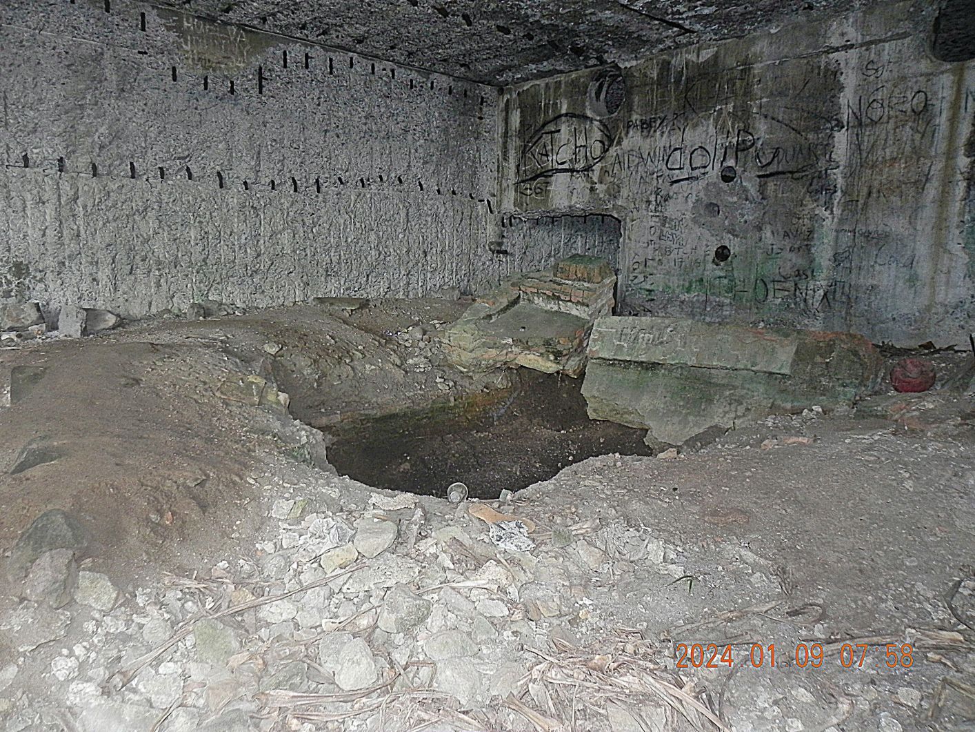
06 Carabao Isl. Ft. Frank. This is inside the fresh water pumping and distilling plant, #14 on the map, just a few feet inside the “Wall”. I think no further digging or scrapping has occurred.

07 Carabao Isl. Ft. Frank. We are starting our walk up into the ex Fort Frank, left is the wall of the distilling Plant. Since our last visit in 2014 a landslide has occurred.

08 Carabao Isl. Ft. Frank. We just walked over the relative new landslide and are looking back. If you look close enough, the “Wall” still in site.
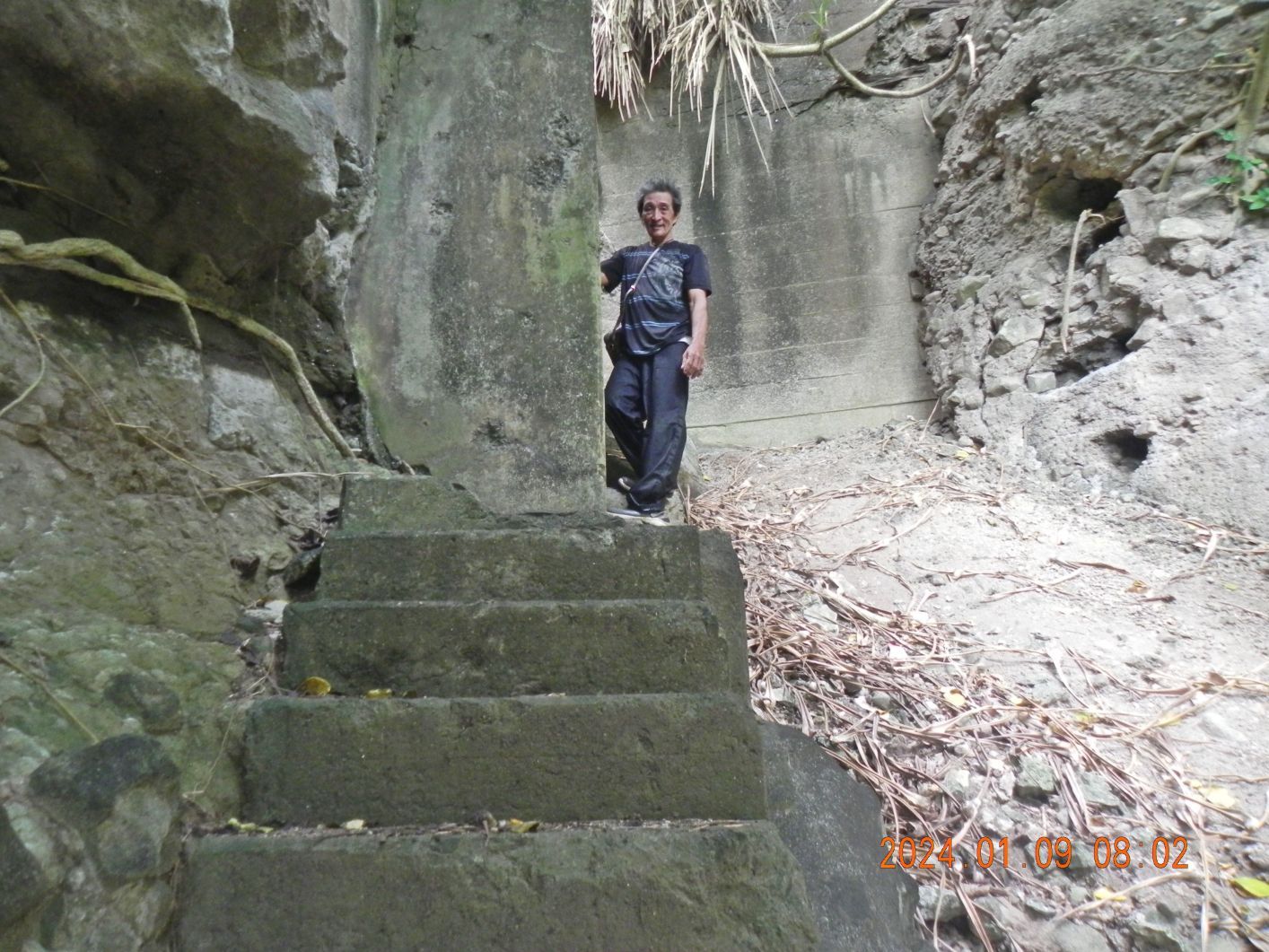
09 Carabao Isl. Ft. Frank. On Carabao Island, from the distilling Plant are these concrete steps that lead up into the bombproof tunnels of the former Ft. Frank. That column restricting the walk up the steps, I believe, supports a concrete bridge and cable run across this ravine to Battery Crofton.
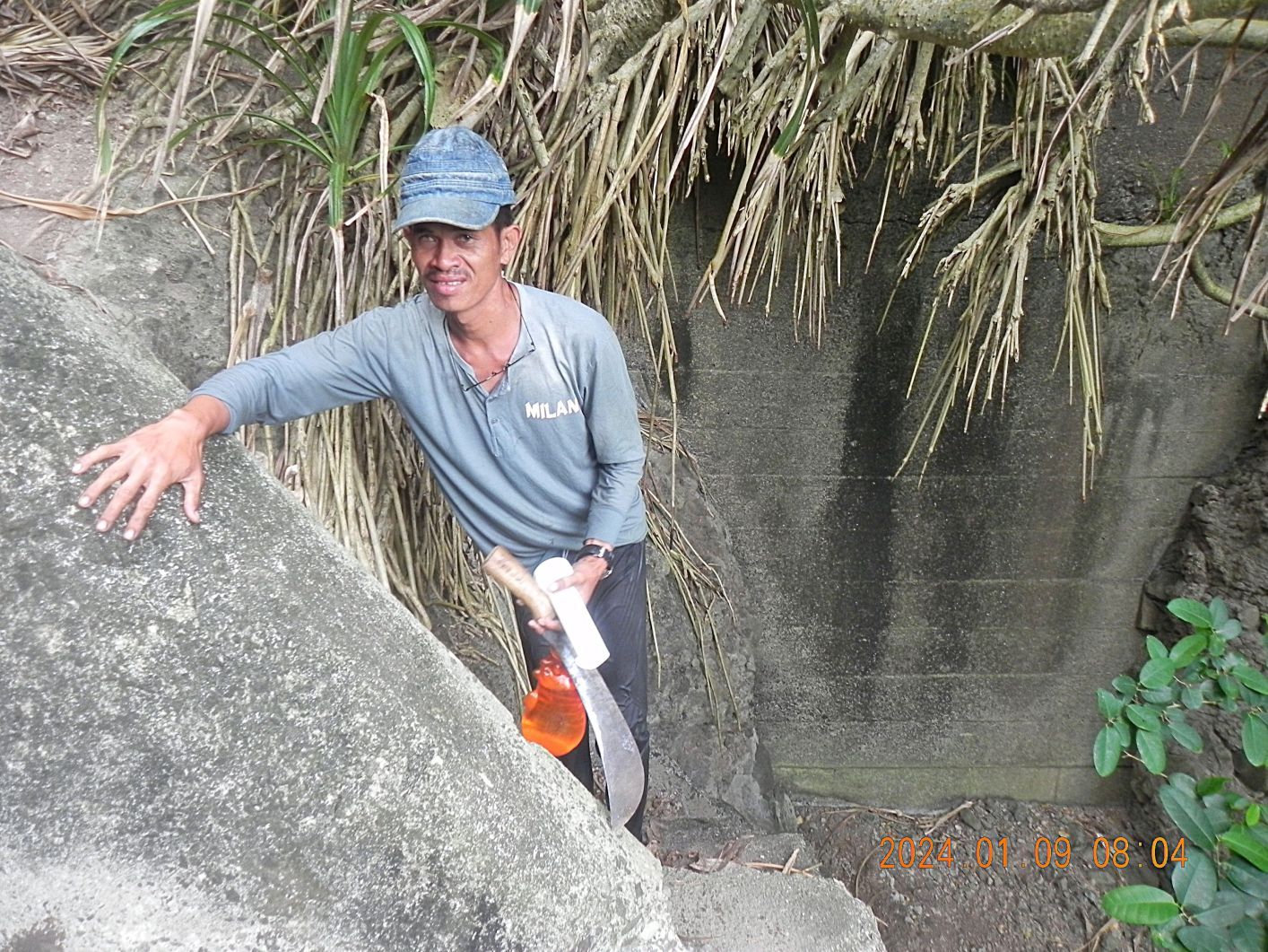
10 Carabao Isl. Ft. Frank. On top of the steps, the steps make a U-turn, and one steps onto the deck, floor of the tunnel to the left or steps on the bridge, cable run over the Distilling Plant Ravine into Battery Crofton.
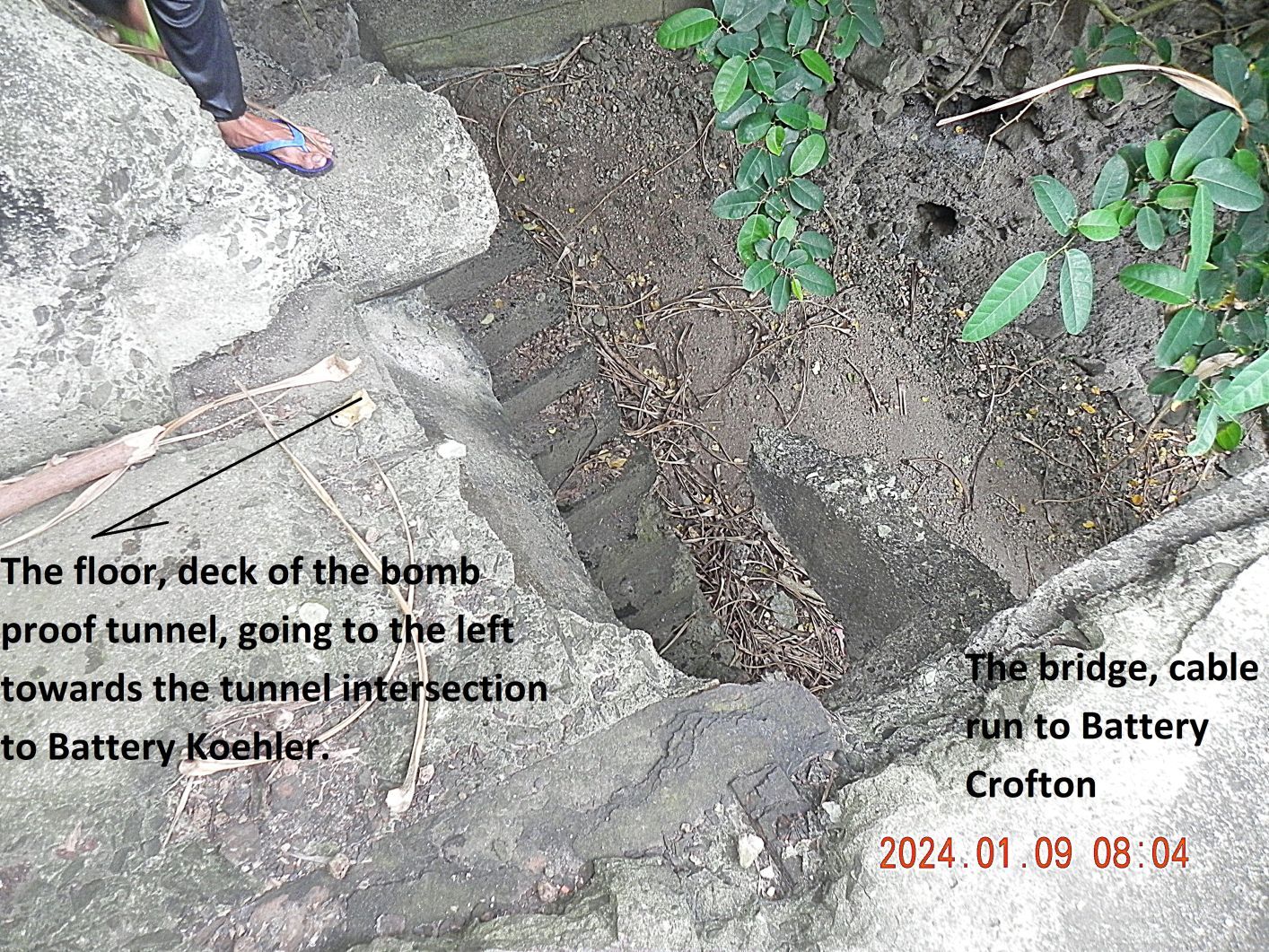
11 Carabao Isl. Ft. Frank. On top of the steps, the steps make a U-turn, and one steps onto the deck, floor of the tunnel to the left or steps on the bridge, cable run over the Distilling Plant Ravine into Battery Crofton.

12 Carabao Isl. Ft. Frank. This one of the two east openings of “Pit A”, Battery Koehler, it has a lot of damage. After we entered the former Ft. Frank, John and I split up, so the companions stayed with me. We walked the whole length of the Battery Kohler bombproof tunnel and went up both pit controls.
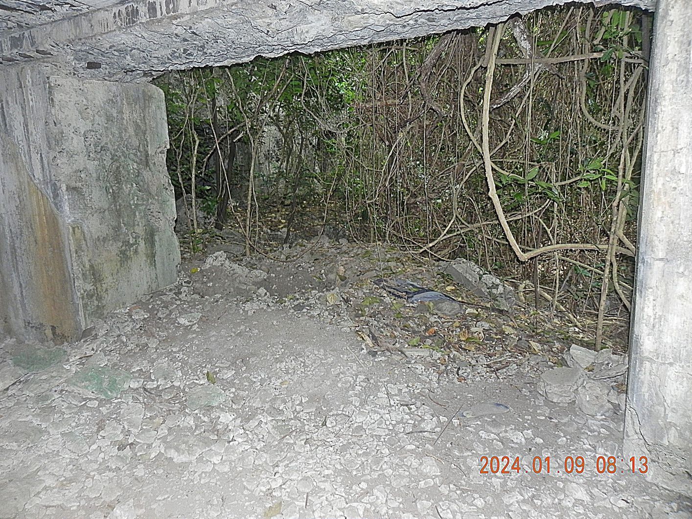
13 Carabao Isl. Ft. Frank. This one of the two east openings of “Pit A”, Battery Koehler, it has a lot of damage. After we entered the former Ft. Frank, John and I split up, so the companions stayed with me. We walked the whole length of the Battery Kohler bombproof tunnel and went up both pit controls. The “Pit A” control is damaged and when we walked up and I looked at the thorns and considered my physical state of affairs I cancelled the excursions to find the concrete control section that is now hanging over the cliff. I was there before.
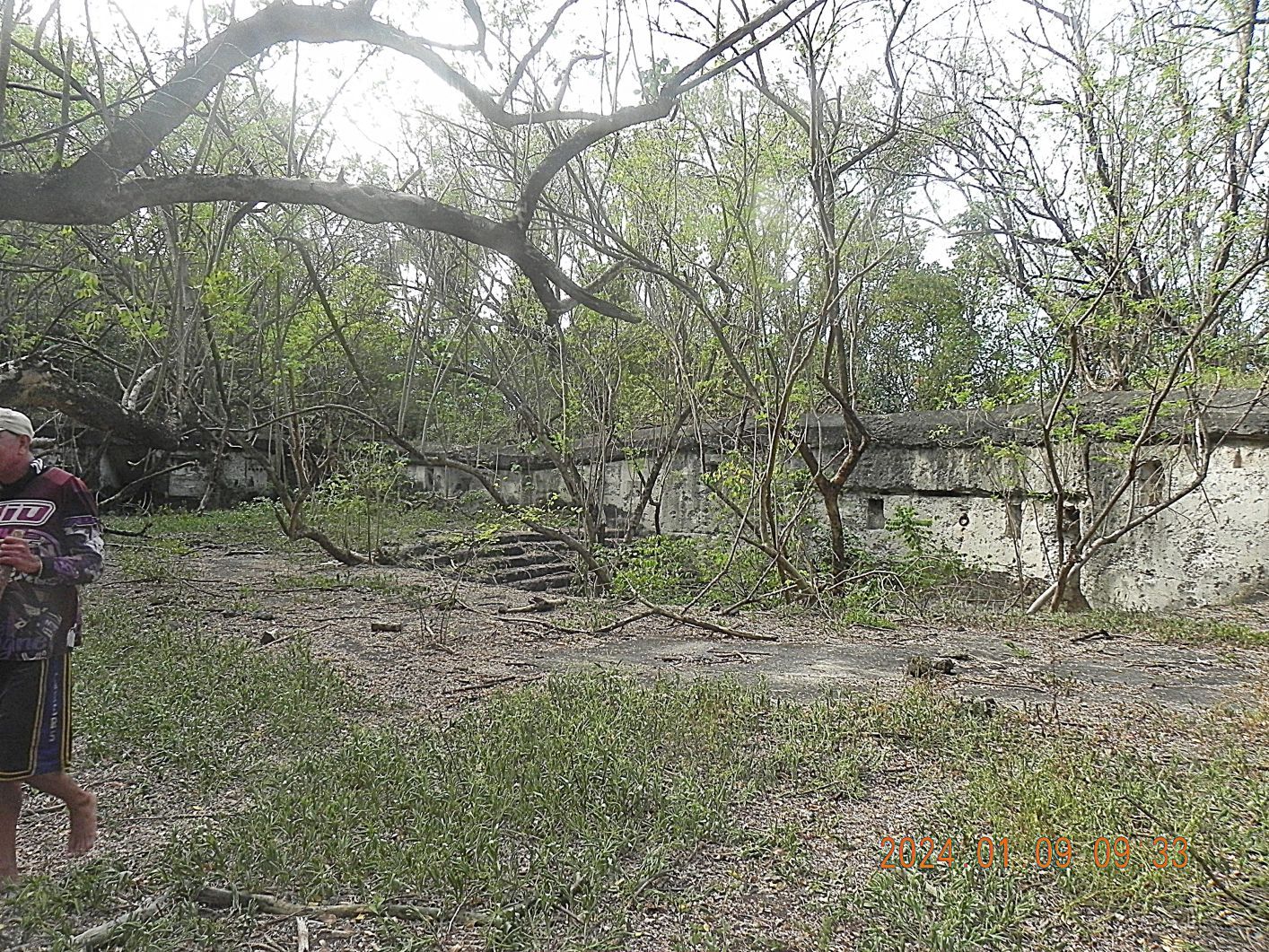
14 Carabao Isl. Ft. Frank. After we were done with Battery Koehler we returned to the Distilling Plant Ravine and crossed the bridge to Battery Crofton. Again I took only 2 pictures; I have plenty in stock. This is the open area of the 14 Inch disappearing gun, one of two, in the ex Fort Frank on Carabao Island. All the guns are gone; we assume it was a scrapper operation, a long time ago, perhaps not long after the end of WWII.
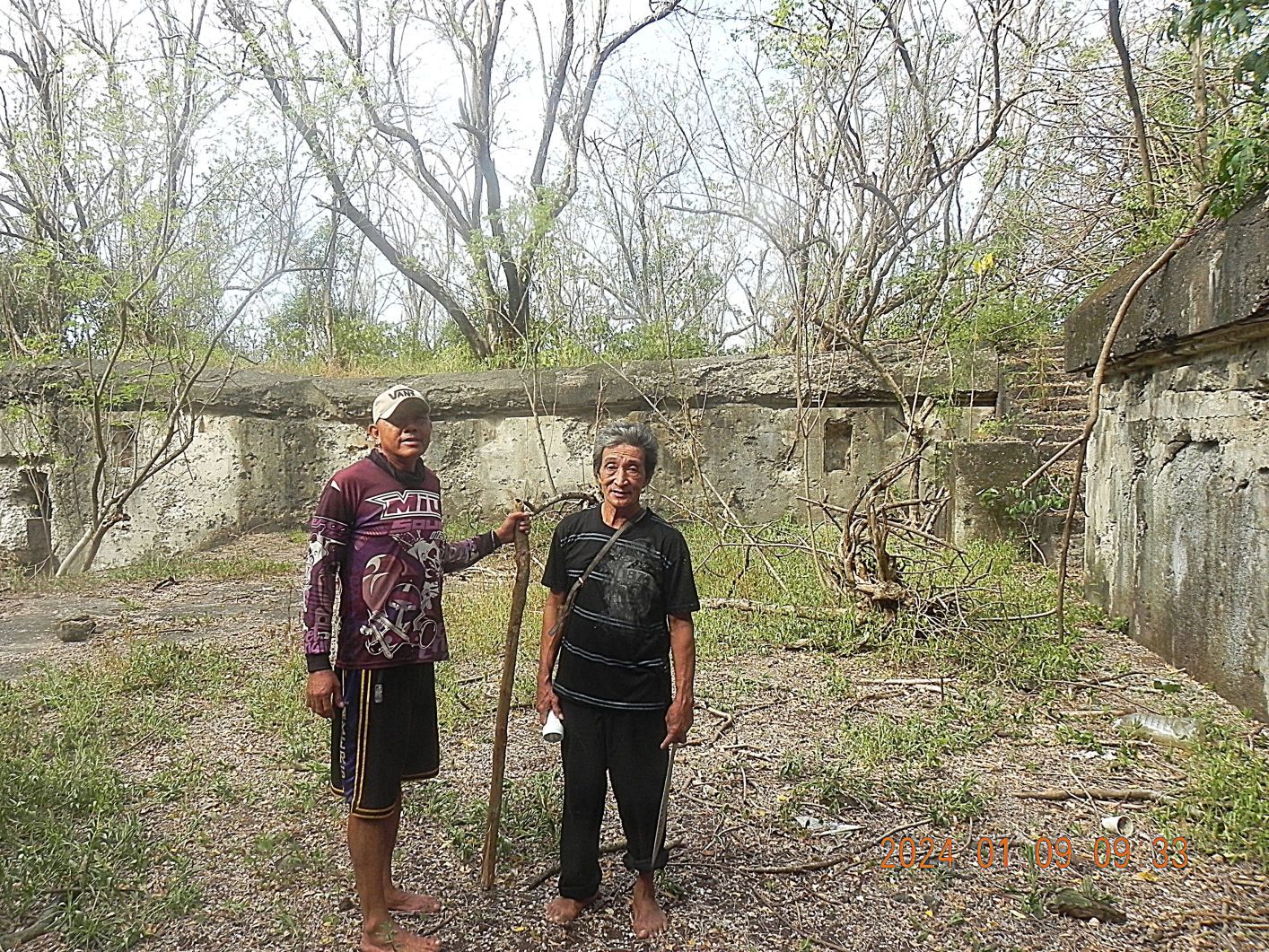
15 Carabao Isl. Ft. Frank. After we were done with Battery Koehler we returned to the Distilling Plant Ravine and crossed the bridge to Battery Crofton. Again I took only 2 pictures; I have plenty in stock. This is the open area of the 14 Inch disappearing gun, one of two, in the ex Fort Frank on Carabao Island. All the guns are gone; we assume it was a scrapper operation, a long time ago, perhaps not long after the end of WWII. The 2nd boat crew member followed us around.
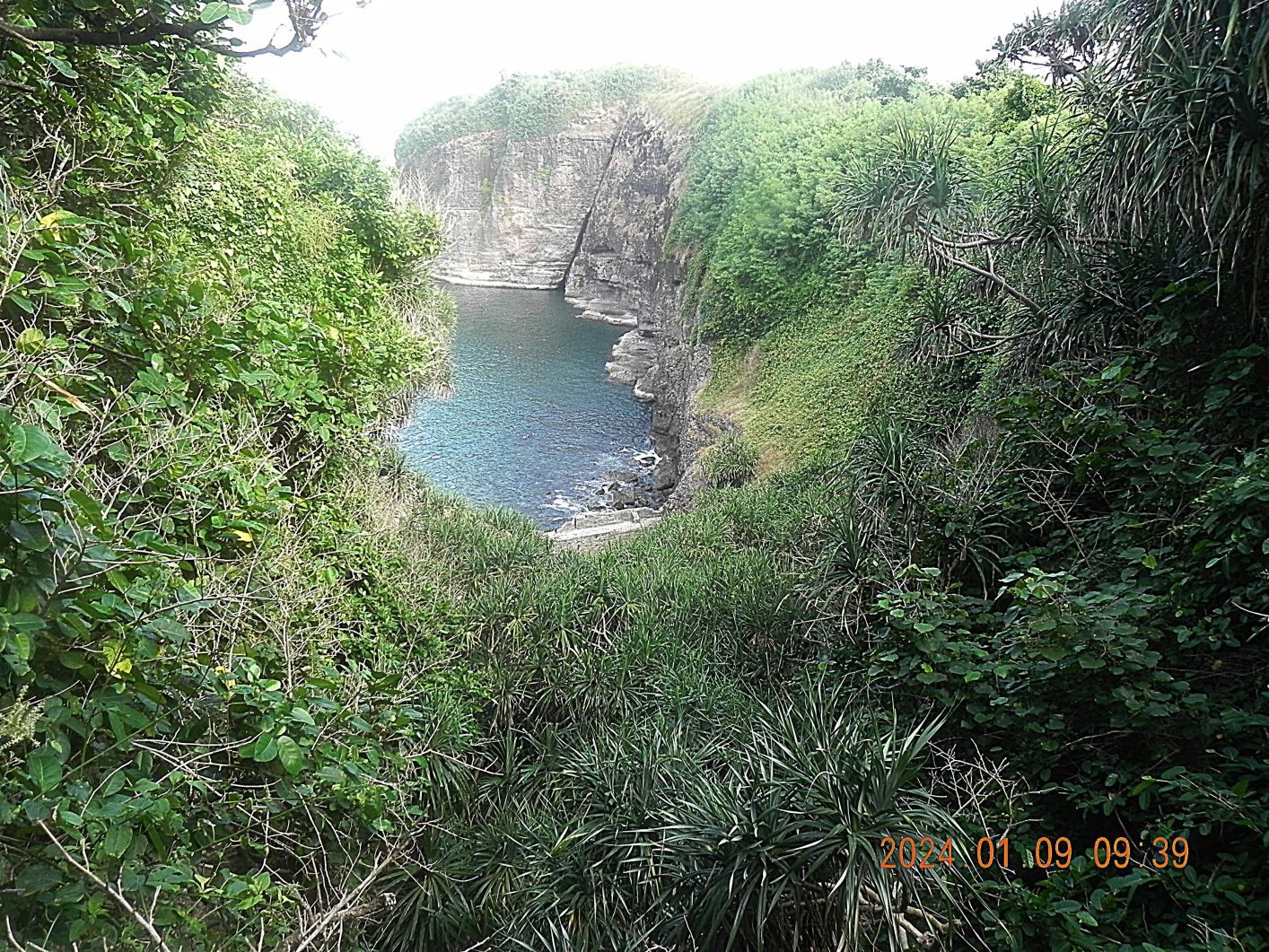
16 Carabao Isl. Ft. Frank. This is one of two pics from standing on the concrete bridge, cable run, over the Ft. Frank Distilling Plant Ravine. We see the “Wall”, the island cliffs; on top of the large ground in back is where Battery Greer is.
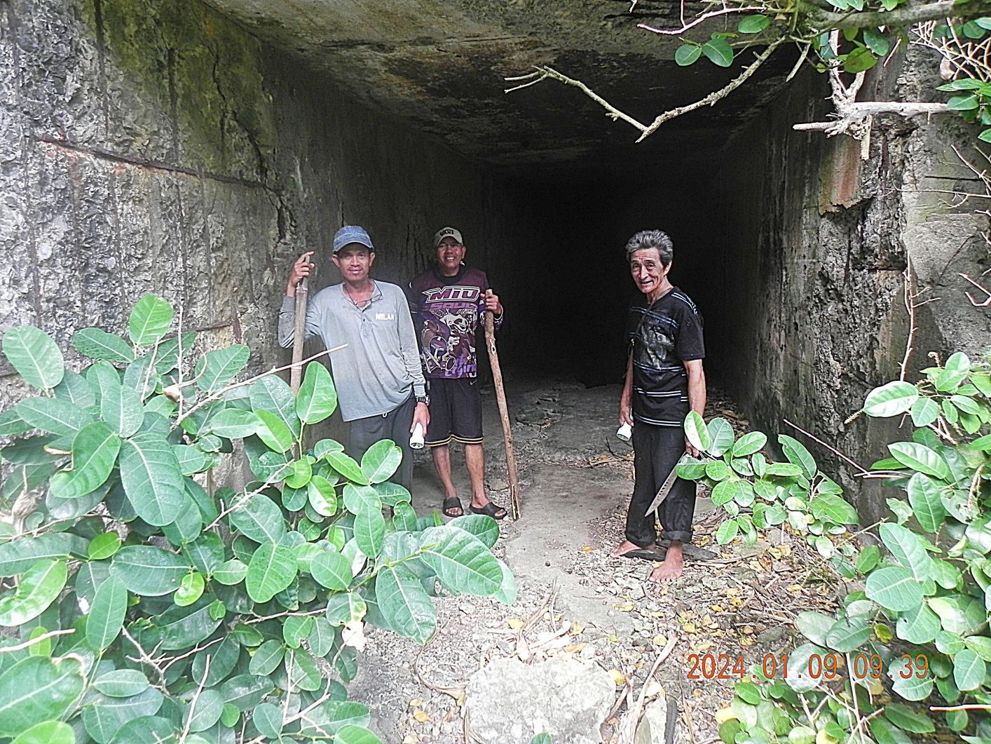
17 Carabao Isl. Ft. Frank. This is one of two pics from standing on the concrete bridge, cable run, over the Ft. Frank Distilling Plant Ravine. My two Amigos and one of the boat crew members are standing in the entrance to the bombproof tunnel to Battery Crofton. Here or nearby an incoming Japanese artillery round killed many of the Fort Frank member while they were in a medical vaccine shot line.

18 Carabao Isl. Ft. Frank. This is the trail that runs to the rail line from the fort dock area; it is relative open as compared to the trail between the two tunnel entrances where I shot this picture from. Also this trail or the spot where I shot this picture from is only about 15 feet from the entrance to the bombproof tunnel to Battery Greer. The trail between the two tunnel entrances is like a thorn bush tunnel. One can tell it is being used (i.e. visitors are coming here), one has to walk thru it in a bend down position, and my companions used their bolo all the time.
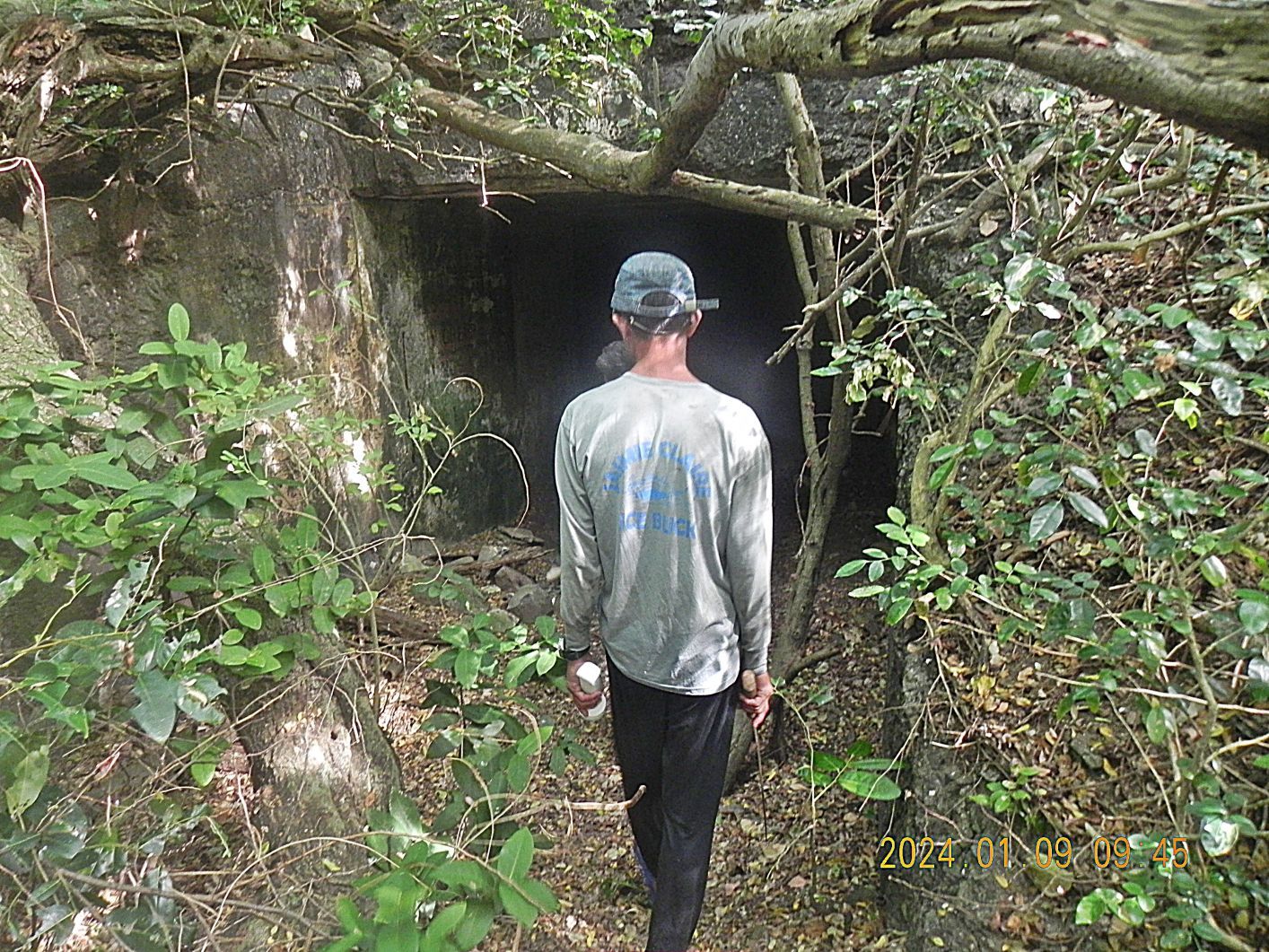
19 Carabao Isl. Ft. Frank. This is the entrance of the bombproof tunnel to Battery Greer, Ft. Frank on Carabao Island.
-------------------------------------------
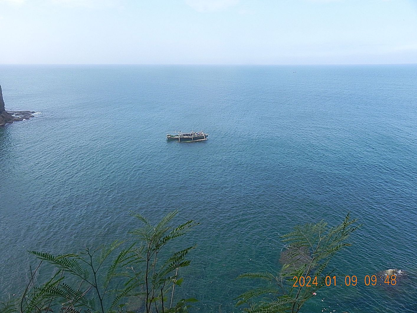
20 Carabao Isl. Ft. Frank to pic #22 are 3 ocean views of the area in front of the “Wall”. Our boat is at left off the pictures. The boat in view is a large one and many of its crew was on the foot of the cliff at left, picking some kind of sea shells, it is low tide now!
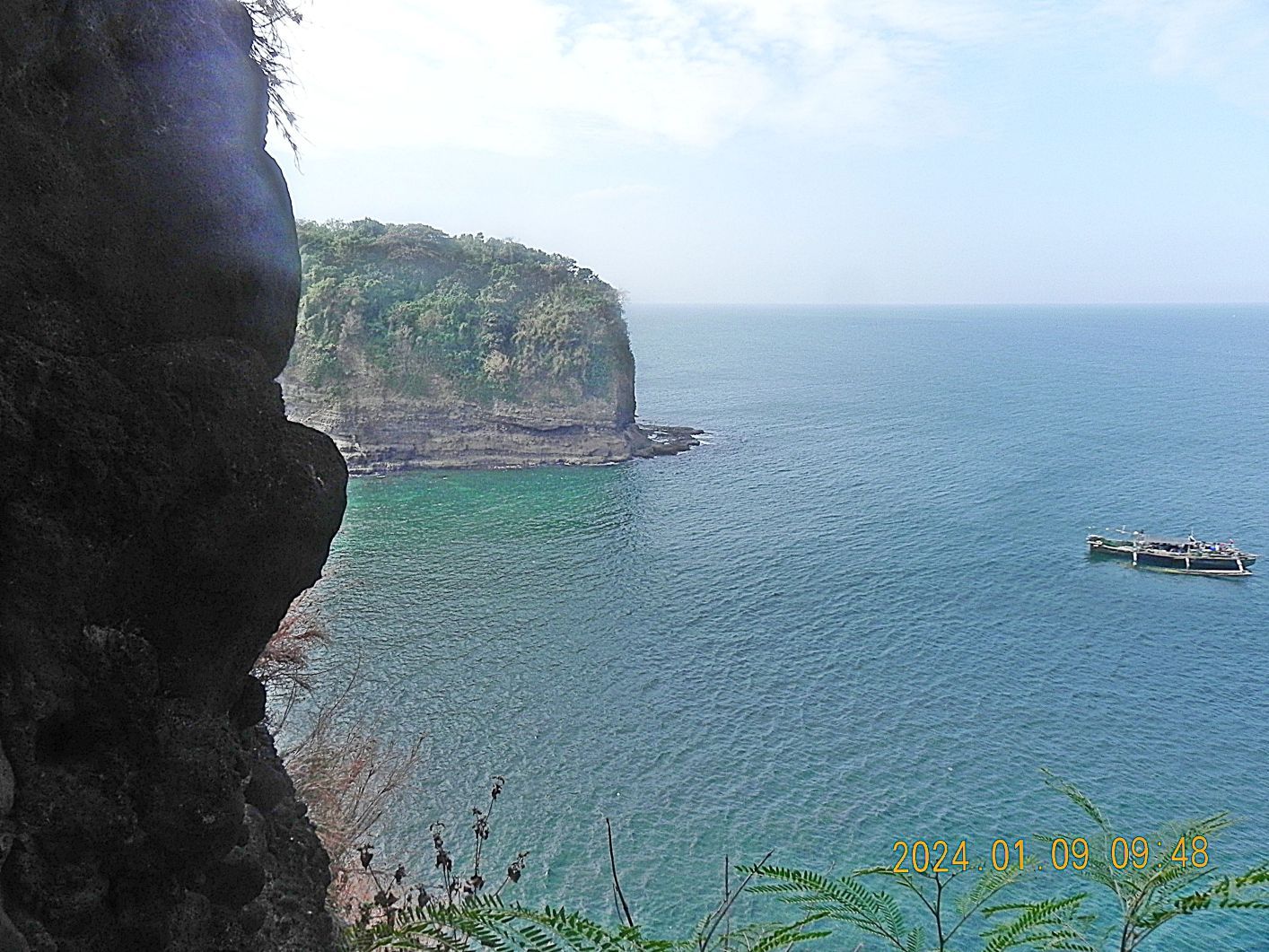
#21

#22
--------------------------------------------------------------

23 Carabao Isl. Ft. Frank. This the area of Battery Greer where one exits it and wanders around the north end of Carabao Island, but this thick vegetation, and my lack of drive made me cancel that event also.
------------------------------------------------------------------
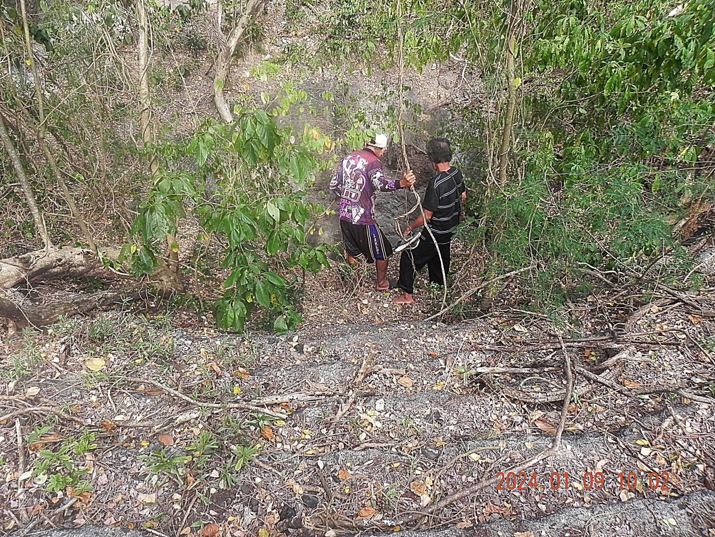
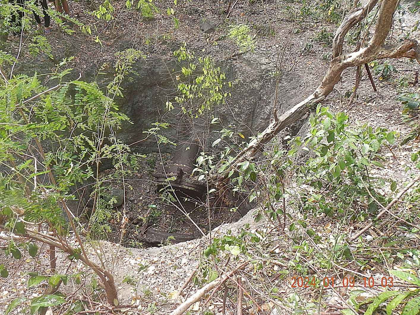
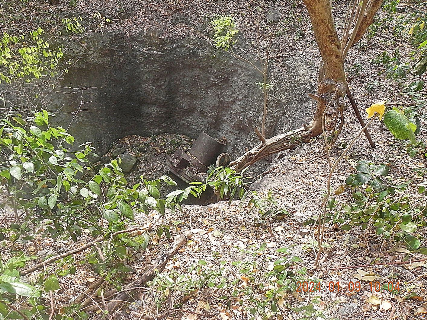
24 Carabao Isl. Ft. Frank to pick #26 are pictures of the well where the 14 Inch disappearing gun of Battery Greer once was. But note worthy, down in the bottom of the well, there seems to be a large piece of the Battery Greer Gun left, which the scrappers did not get.
#25.
#26.
--------------------------------------------------------------------------
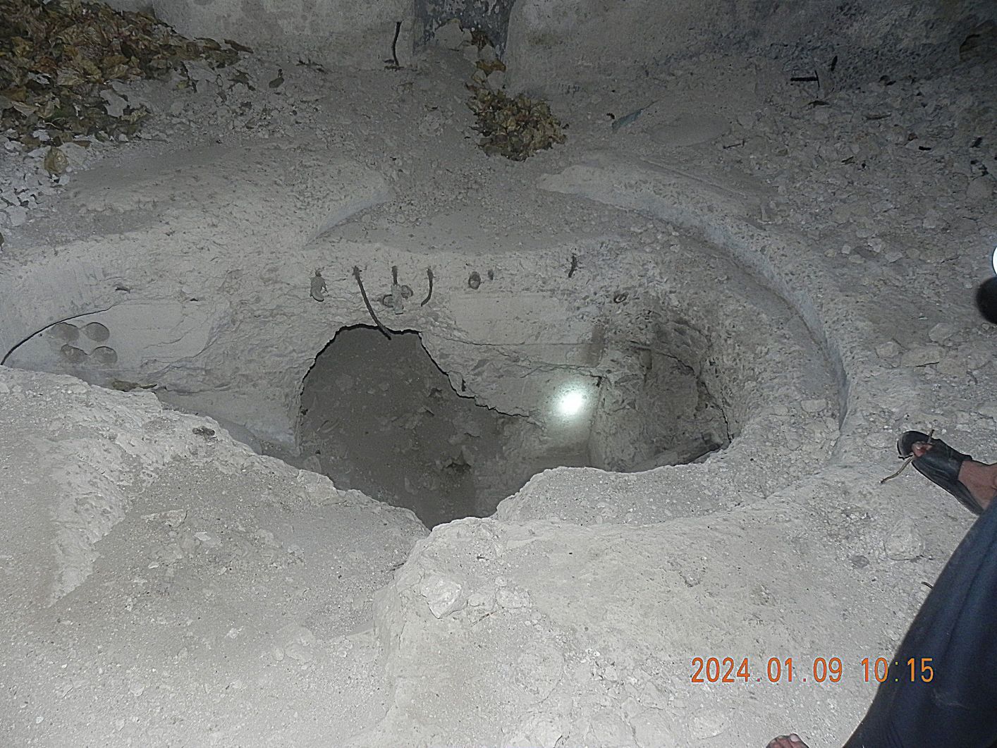
27 Carabao Isl. Ft. Frank. I took this picture because I could not tell or remember whether more or new digging had occurred, still don’t at this time. On the 1921 map I indicated the location.