Battle of the Pockets, 2nd Time, 2013-03-14
Tried to explore the Battlefield in a more comprehensive way. I did and also went up further on Trail #7.
I believe I got a good picture of the geography from this Battle Field now and I tried to show it on the marked up maps I provided. The map from the Fall Of the Philippines was absolutely essential for this endeavor. My GPS device and Google Earth are of very great help in recording where I actually walked. The pictures I took will help in the future to remember what I have seen.
If anyone would like the KMZ file of this walk, contact me and I will send it by email!
One problem is that the people here don’t know the names of the rivers on the Fall of the Philippines map of this battle. Mr. Alejandre just barely remembers that he heard the name Camilew River sometime in the past but didn’t know which one or where it is. That map jives but in the field the scene does look so different!!!!
The exact location of the Big Pocket or the Little Pocket I could not identify but I indicated on the map where they must be. I didn’t find any artifacts. The whole ridge areas are now short grass, kept really short by cattle which is kept on these slopes in a big way. So one can see the ground and would be able to spot any artifacts if they are laying loosely on top of the ground.
Walking thru the river valleys or river beds, may be very difficult at places because of growth at some places and no trails there.
However I walked across the Field of Mr. Alejandre again, both ways, going and coming back. Each way about 5 minutes and I found about 9 items in this short time. This area, I’m sure, is the Upper Pocket battle field.
Here are some sample pictures, the numbers are only there to help me find them:

350 The all important Battle of the Pockets map from the Fall of the Philippines publication. It is essential to understand and identify the battle field.
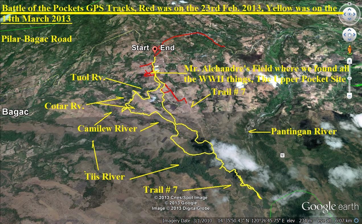
351 The GE image, on which I marked the river names from the US Army Fall of the Philippine publication
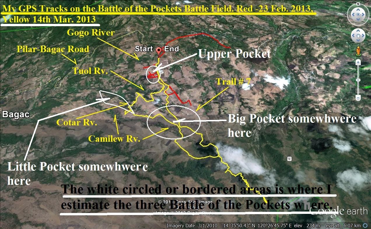
352 On this image I marked in the areas of the three battles where I think they are based on the Fall of the Philippines map and the actual layout of the terrain.

353 This map is an example of the maps I provided in my album to show where I shot rounds of pictures from certain points as indicated on this map.

354 This is one of the early images of the walk, it is the Camilew River from the north. It is wide here I crossed it back to here on my return march.
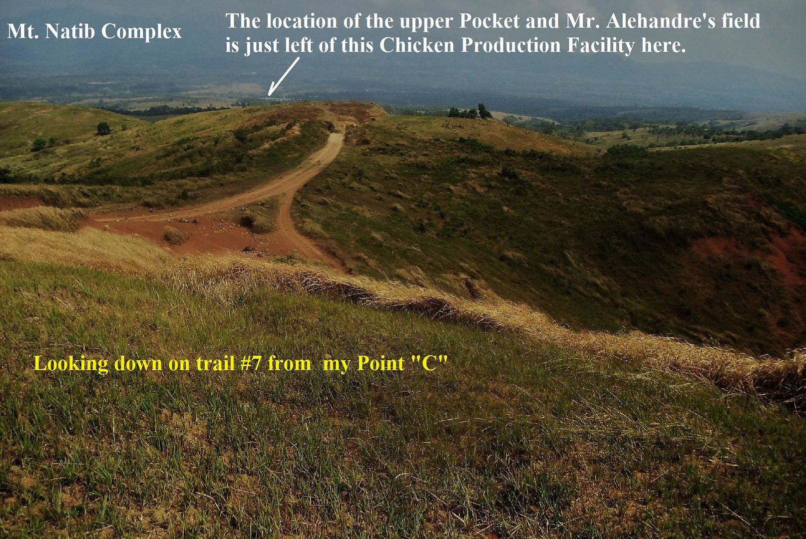
355 I just had to continue on trail #7 and was rewarded with this type of view.
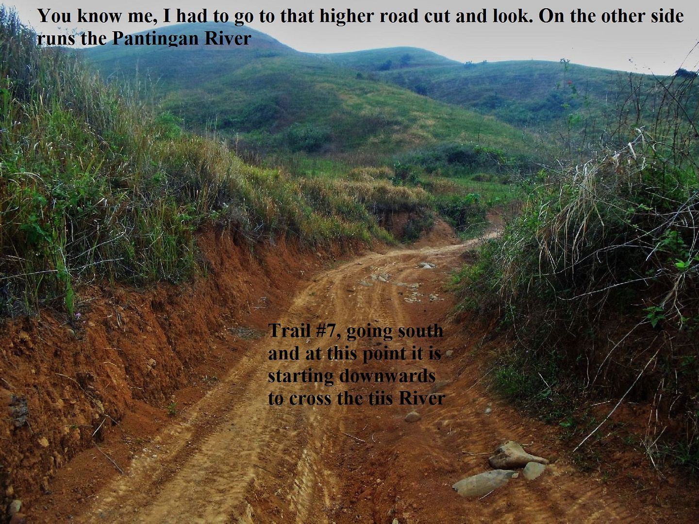
356 Trail # 7 actual started going down slowly to cross the Tiis River but I seen that higher road cut ahead on my left. I had to find out what is in the other side.
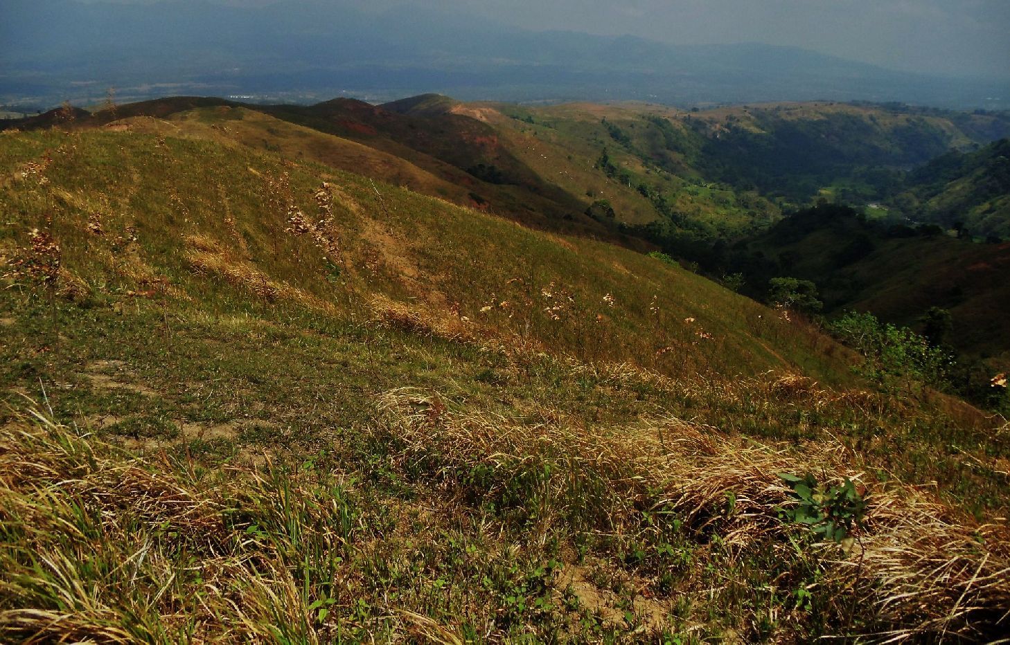
357 Again I was rewarded with this great view of the Pantingan River. Also, left we still can see that chicken place where I started out.
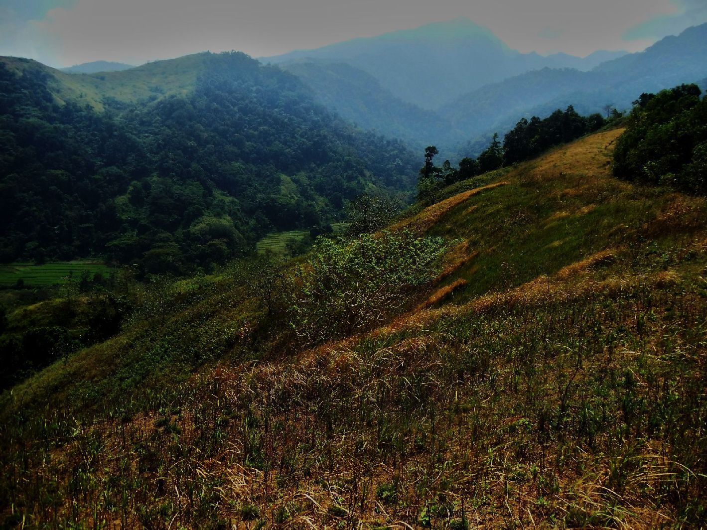
358 Looking in the other direction and we see the Pantingan river draining the Mariveles volcanic crater.
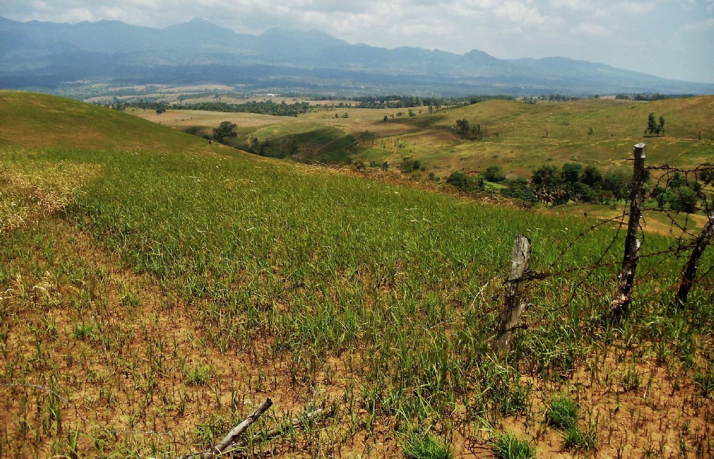
359 I’m already down a lot and I’m on the ridge plateau between the Tiis and Camilew Rivers. Remember image 354 above the rice fields in the river Camilew? Well, that’s where I’m now and will cross the river here.
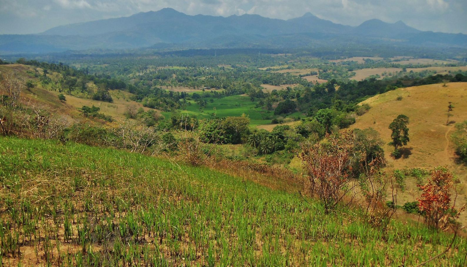
360 After I walked down the ridge plateau between the Camilew and Tuol Rivers a bit and only then did I get aware of and learn where the Cotar River is. It is shorter than indicated but now the battle field picture is complete. Indeed it is between the Tuol and Camilew rivers.

361 A little higher and up-river from the last image, I crossed the Cotar River here. Except for walking up on this side, it was an easy river crossing for me. I noticed some old trees here.
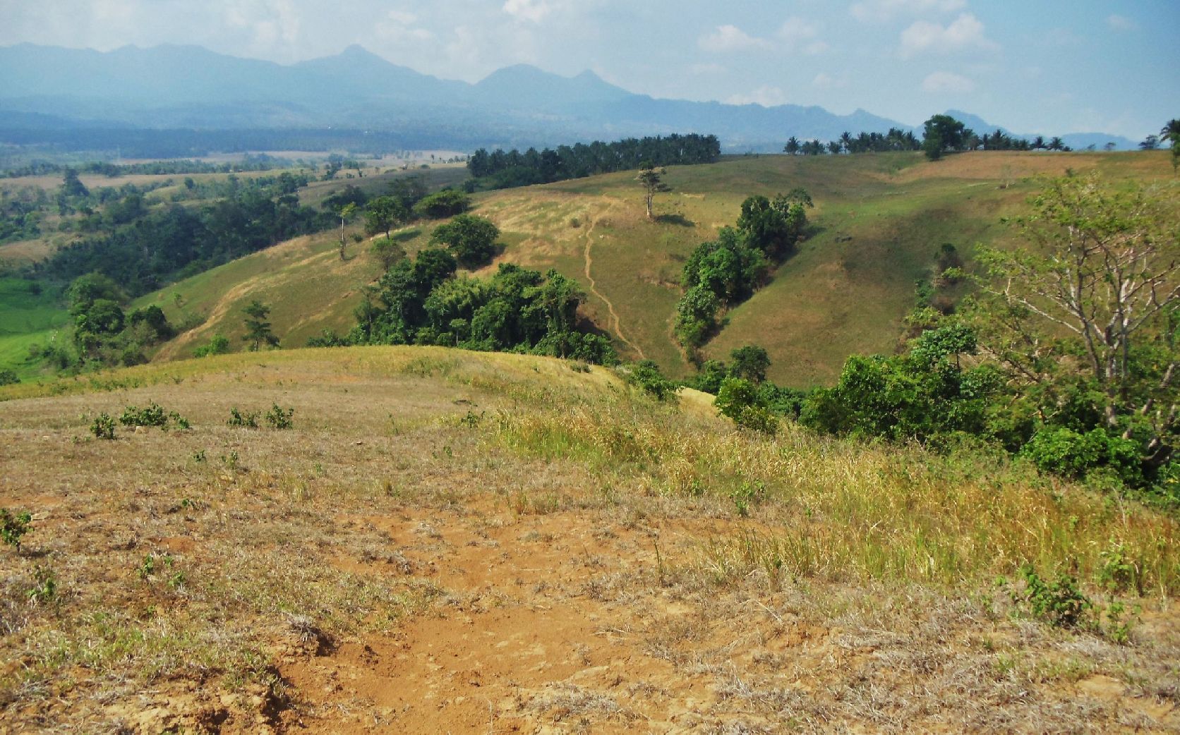
362 My next goal was to cross the Tuol River here but I didn’t find any trail going down from this side and had to go up-ridge some distance before I could cross and it was difficult to boot.
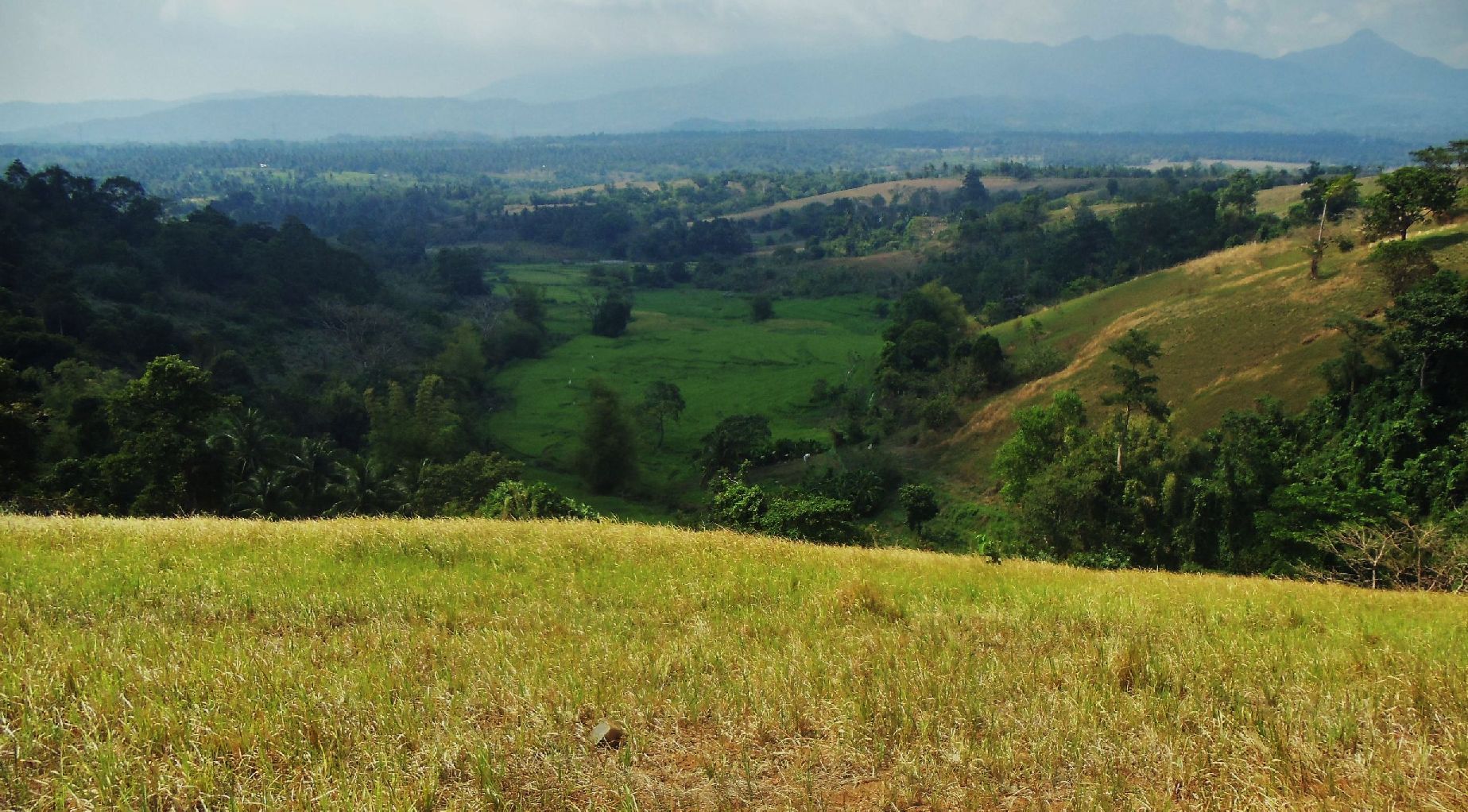
363 Before I left to find a trail to cross I had a good look at he wide mouth of the Tuol River.
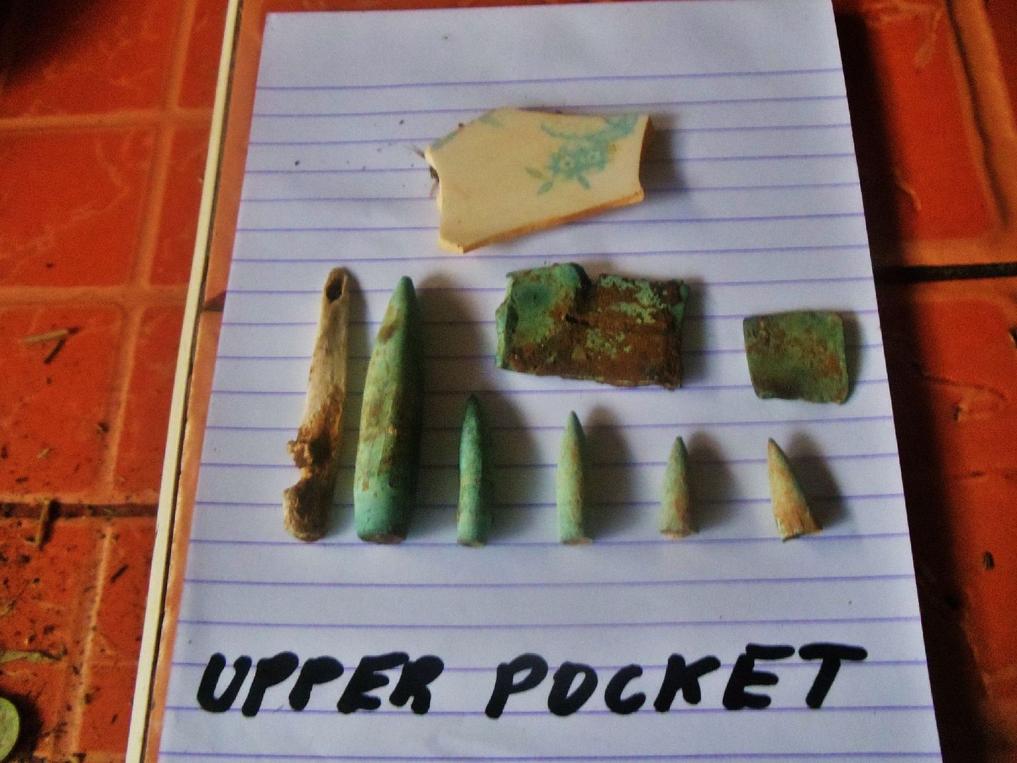
364 On my way back to the car I walked across Mr. Alejandre’s field again which we are sure was part of the Upper Pocket battle field. And again I found artifacts, all together from the two 5 minute walks each I got 8 or 9 pieces.
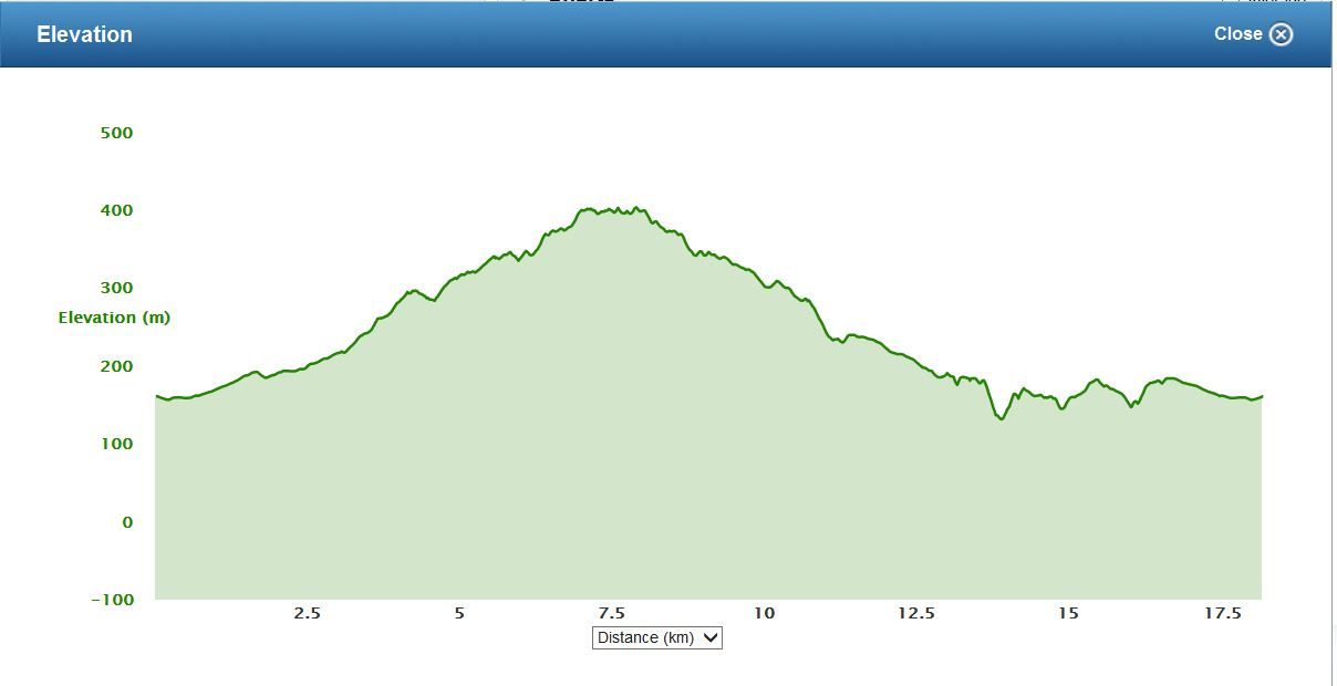
Here the walk data and a picture of elevation involved:
Battle of the Pockets, 2nd time
Thu, 2013 Mar 14 7:37
Activity Type: Casual Walking
Event Type: Special Event
By myself went to Trail 7 in order to find the Main Pocket and the Little Pocket. I'm sure I walked over the battle fields but was unable to be sure. I certainly know more about the battle field geography now.
Distance: 18.18 km
Time: 7:29:32
Avg Pace: 24:44 min/km
Avg Speed: 2.4 km/h
Elevation Gain: 521 m
Timing
Time: 7:29:32
Moving Time: 5:20:17
Elapsed Time: 7:29:32
Elevation
Elevation Gain: 521 m
Elevation Loss: 521 m
Min Elevation: 132 m
Max Elevation: 405 m
