Post by fots2 on Aug 12, 2012 19:35:04 GMT 8
Hi Chad,
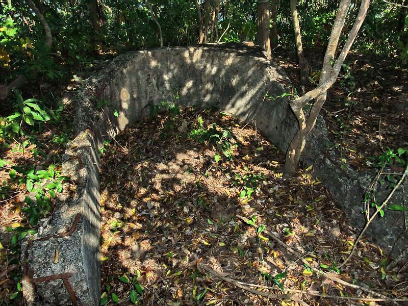
On Military Map Symbol sheets, the bathtubs are described as Emergency Stations w/o roofs. Many if not all of the bathtubs have bolts on top of the concrete walls where I assume wooden wall extensions were attached. Perhaps they even had some sort of roof for rain protection but I have never seen any pre-war photos of them.
It doesn’t take much imagination to see what you see in the Japanese photo. Thanks for the explanation to make it clearer. I can also see what may be a rounded end on the north side. The walls look a bit thick but I’ll ignore that. It does appear to be orientated N-S. I was not expecting high walls on EG-IV-3 (bathtub). You are probably correct Chad.
Yes, the stairs are NE of EG-IV-3 on the very narrow ridge exactly as armyjunk’s aerial photo shows. A few metal hand rail posts and some steps can still be seen there.
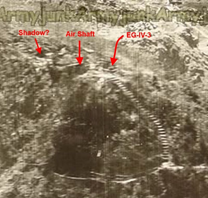
Crop of armyjunk’s photo zoomed in on the steps
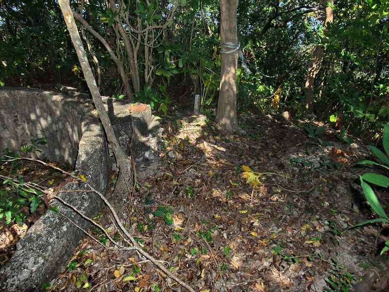
The top hand rail post is cut-off but can be seen to the left of the center tree. This is at the start of the steps going down to SL #8. The hand rail post is about 3 feet from the corner of EG-IV-3. (The rope is the hand rail which is used today). This photo also shows you how close the rounded end of EG-IV-3 is to the northern cliff.
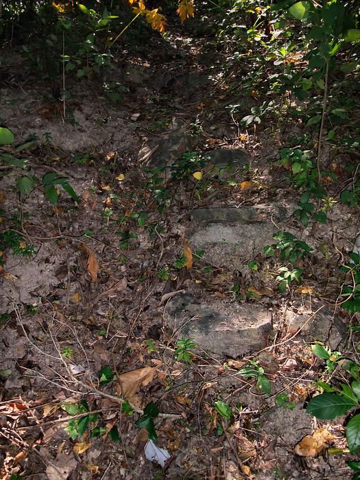
Most of the steps are either buried or missing but a few are visible. This photo shows three steps at mid to upper right.
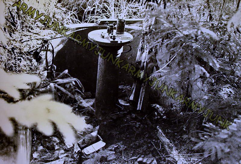
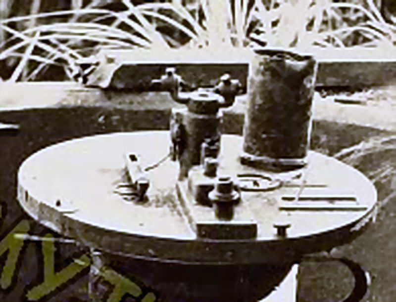
Now about the air shaft, the Japanese photo gives me the impression of it being a long distance from where the photographer was standing to the northern end of the ridge. It is not far at all. I wonder if this is due to whatever type of movie camera lens that guy was using.
Considering that the bathtub and the air shaft are only about six paces apart, I will pick #1 only because they are very close to each other. For some reason this photo looks stretched. How about I take a quick video when walking from the 75mm gun shelter to the bathtub sometime to show how close everything is together?
In the photo, note that much of the ground view shows large and small chunks of rubble. The bombardment probably was severe. I wonder if the “intact” looks of the structures was due to continuous rebuilding after each attack.
On Military Map Symbol sheets, the bathtubs are described as Emergency Stations w/o roofs. Many if not all of the bathtubs have bolts on top of the concrete walls where I assume wooden wall extensions were attached. Perhaps they even had some sort of roof for rain protection but I have never seen any pre-war photos of them.
It doesn’t take much imagination to see what you see in the Japanese photo. Thanks for the explanation to make it clearer. I can also see what may be a rounded end on the north side. The walls look a bit thick but I’ll ignore that. It does appear to be orientated N-S. I was not expecting high walls on EG-IV-3 (bathtub). You are probably correct Chad.
Yes, the stairs are NE of EG-IV-3 on the very narrow ridge exactly as armyjunk’s aerial photo shows. A few metal hand rail posts and some steps can still be seen there.

Crop of armyjunk’s photo zoomed in on the steps

The top hand rail post is cut-off but can be seen to the left of the center tree. This is at the start of the steps going down to SL #8. The hand rail post is about 3 feet from the corner of EG-IV-3. (The rope is the hand rail which is used today). This photo also shows you how close the rounded end of EG-IV-3 is to the northern cliff.

Most of the steps are either buried or missing but a few are visible. This photo shows three steps at mid to upper right.
Now about the air shaft, the Japanese photo gives me the impression of it being a long distance from where the photographer was standing to the northern end of the ridge. It is not far at all. I wonder if this is due to whatever type of movie camera lens that guy was using.
Considering that the bathtub and the air shaft are only about six paces apart, I will pick #1 only because they are very close to each other. For some reason this photo looks stretched. How about I take a quick video when walking from the 75mm gun shelter to the bathtub sometime to show how close everything is together?
In the photo, note that much of the ground view shows large and small chunks of rubble. The bombardment probably was severe. I wonder if the “intact” looks of the structures was due to continuous rebuilding after each attack.


