It is time for a few more “Then & Now” photos.
Let’s start on Topside with one of Corregidor’s most photographed buildings, the Cinema or Cine. Next we will look at the Administration building which was also known as the Fort Mills Headquarters.
When possible, I have acknowledged the source of photos other than mine.

2007 aerial photo of Topside.
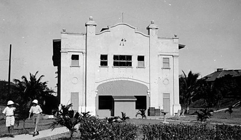
This undated photo shows a rather simple structure. Behind it to the right is one of the Senior Officer’s Quarters.
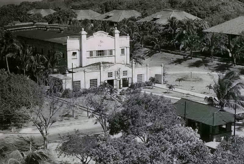
A large addition to the original Cine has been added at the front of the building. The Topside trolley station is in the foreground and more officers’ quarters are in the rear.
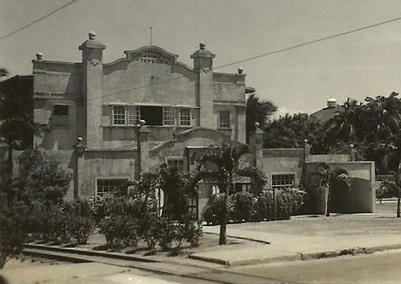
Pre-war Cine photo
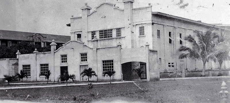
Pre-war Cine photo. (Paul Cornwall photo from either 1940 or 1941).
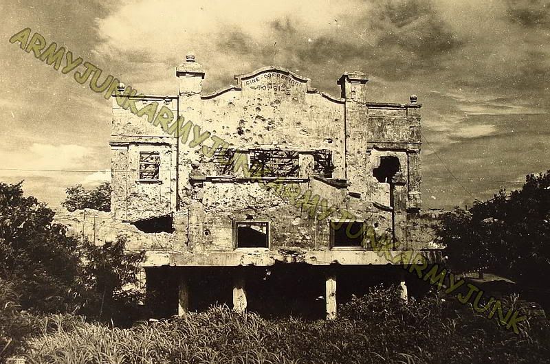
Post-war view of the Cine (Case Report) provided by armyjunk.
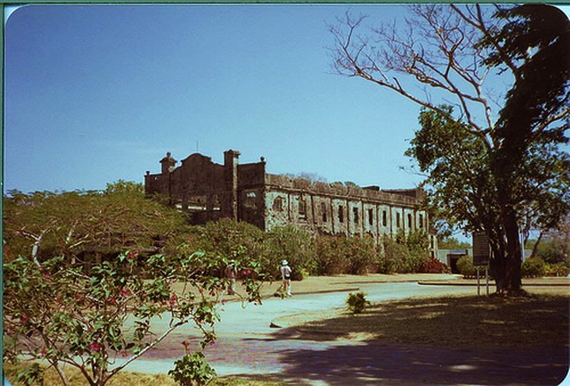
1981 view of the Cine.
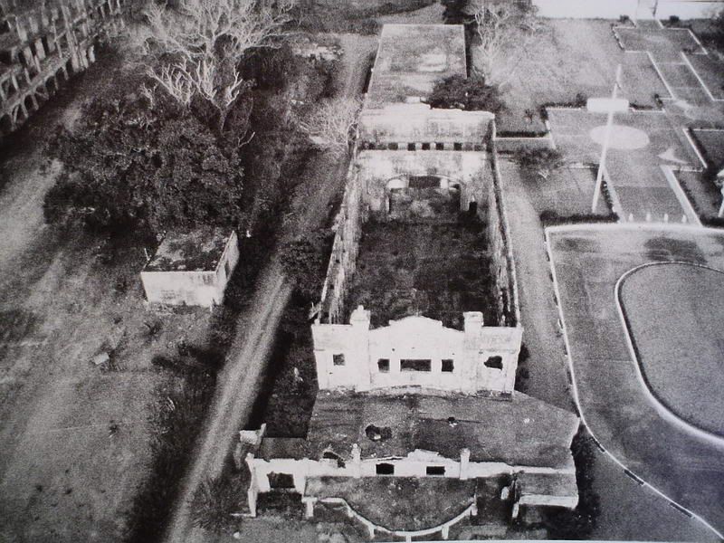
Undated post-war view.
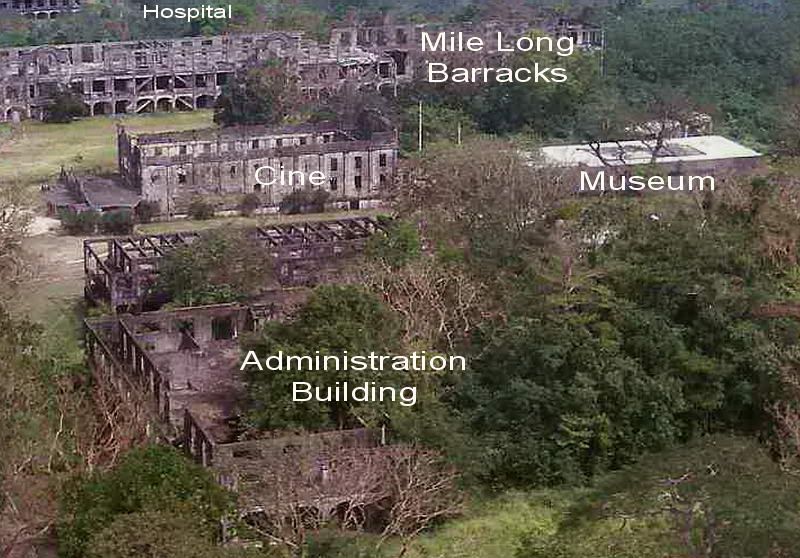
This 1987 aerial view photo shows the Cine outside wall closest to the photographer to be fully intact. Today a large piece of it is collapsed. (photo by chadhill)
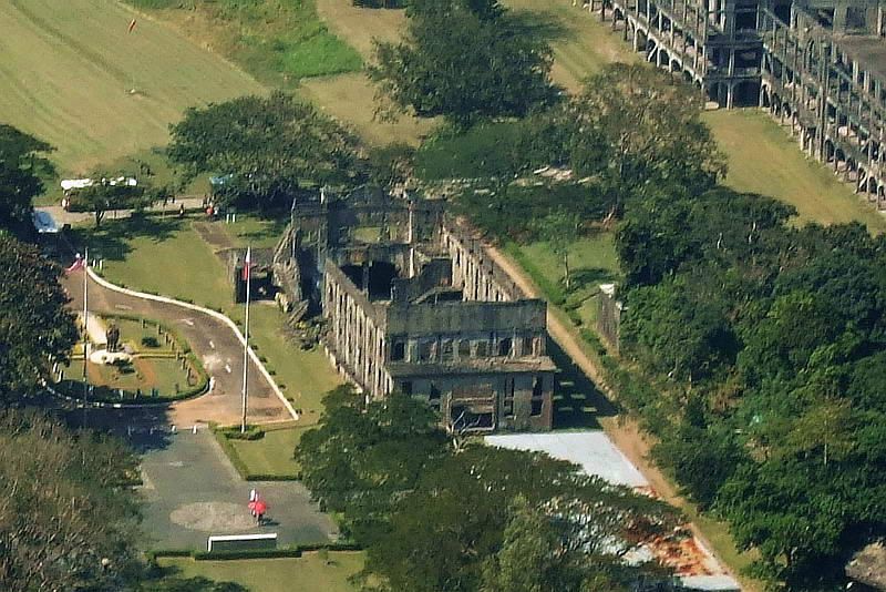
2007 aerial view. Note that part of the outside wall has collapsed.
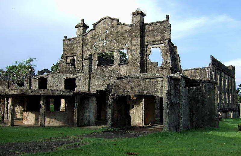
2009 Cine front view.
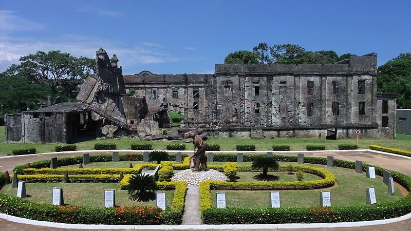
October 2010 side view.
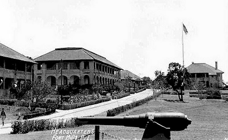
Administration building/Fort Mills Headquarters is near the center of the photo. The “Spanish Flagpole” and various Senior Officer’s Quarters are the other buildings. Topside Parade Ground is to the right.
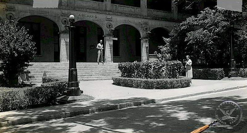
(from Corregidor.org)
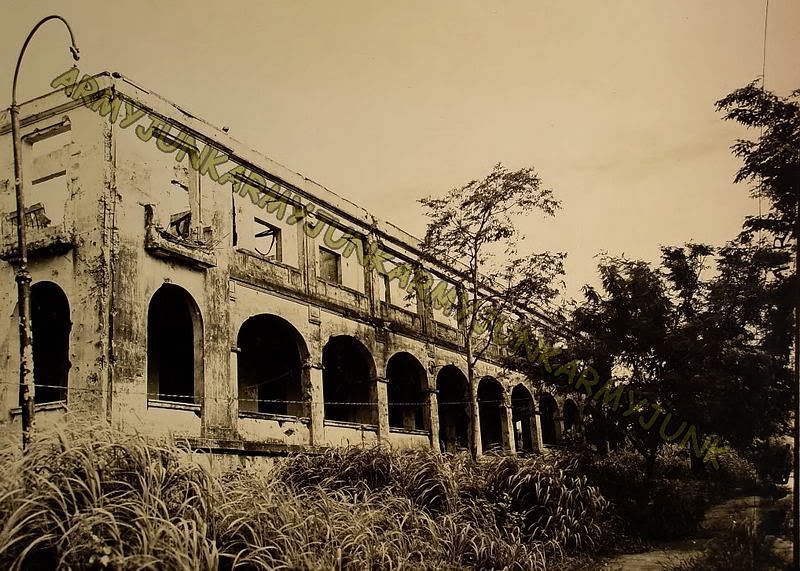
Post-war photo of the Admin building (Case Report) provided by armyjunk.
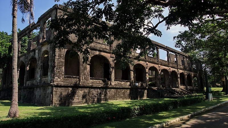
October 2010 photo of the Admin building.
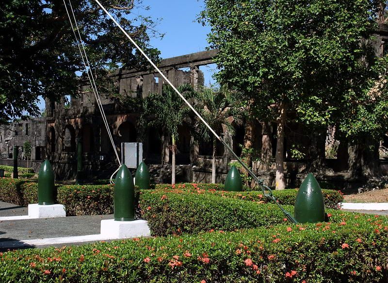
February 2010 photo of the Admin building taken at the base of the Spanish Flagpole.
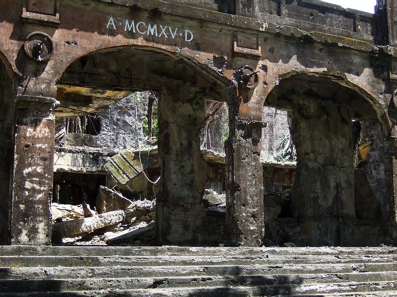
2009 photo of the entrance.
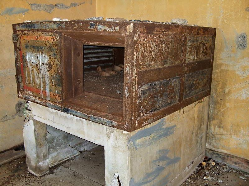
Apparently this safe in the Admin building proved to be a bit too heavy to carry away.
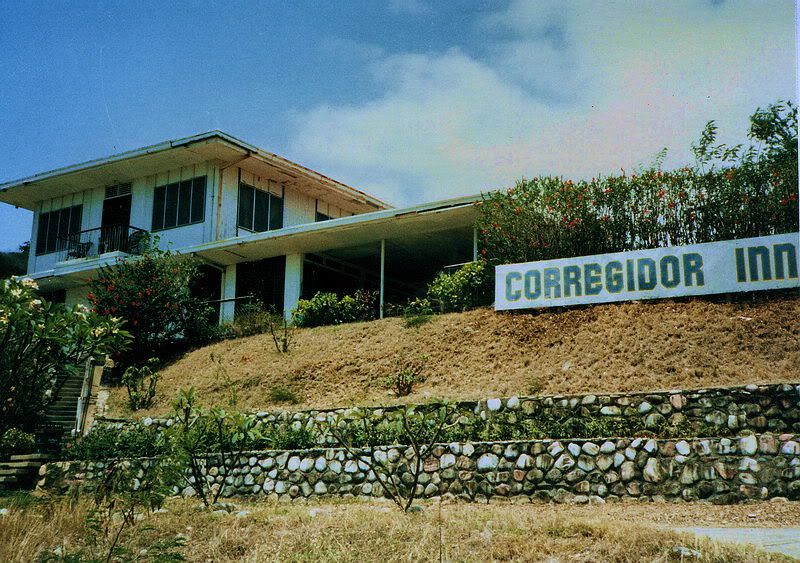
The original Corregidor Inn up on Bottomside’s Skipper Hill. (1985 view from Karol Ames)
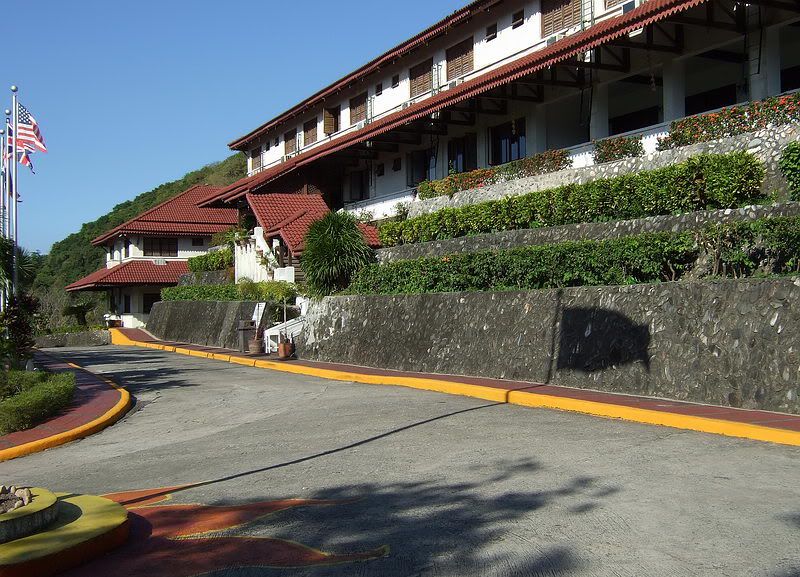
The Corregidor Inn today.
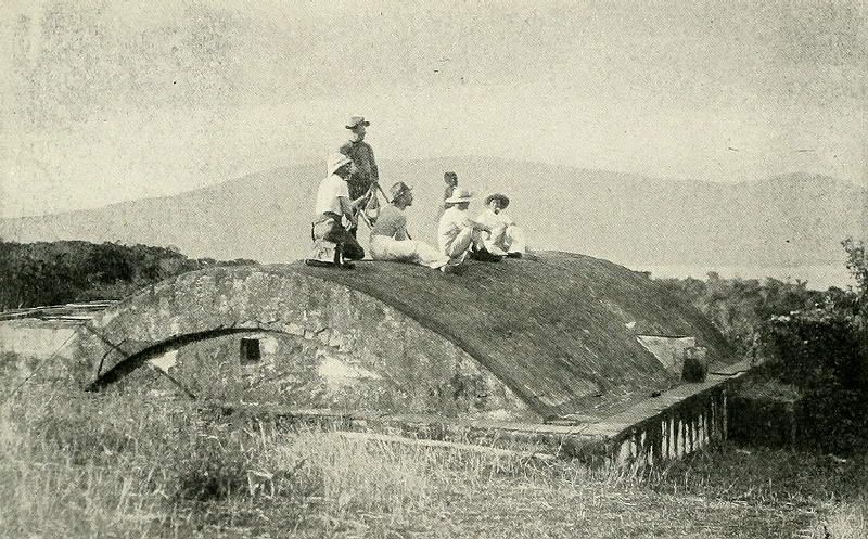
A remnant from Spanish times is the Topside stone Cistern. This 1899 photo is labeled “Signal Corps Station… communication with Manila Station”. The cistern consists of a domed section and a horizontal section. The interior is quite deep and still contains water after it has rained.
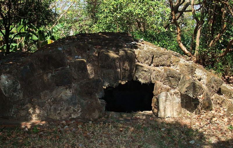
Although damaged, it is still there. A view of the domed section of the cistern taken in February 2010.
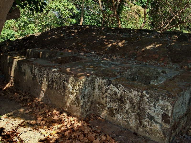
A view of the horizontal section of the cistern taken in February 2010.
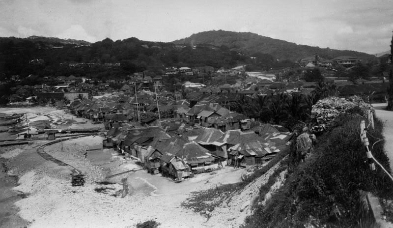
Undated photo of Barrio San Jose taken from the South Shore Road around Malinta Hill.
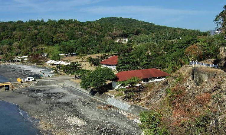
A similar view taken in 2009.
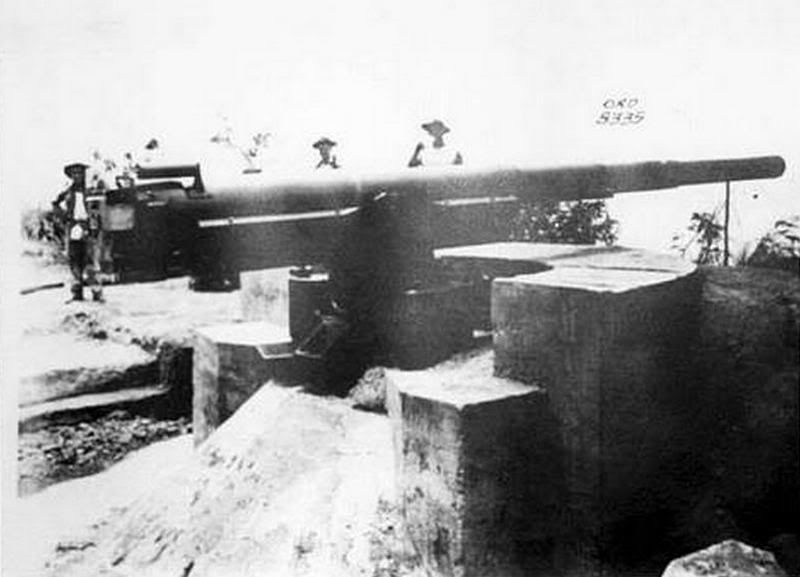
In front of Battery Cheney was the 155mm gun of Battery West. This is the only photo I have seen of it. The gun is mounted on a semi-circular concrete pedestal.
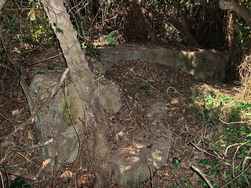
As of February 2010, the pedestal is all that remains. The gun position is among heavy vegetation and it took Karl and I awhile to clear enough away for a few quick photos.
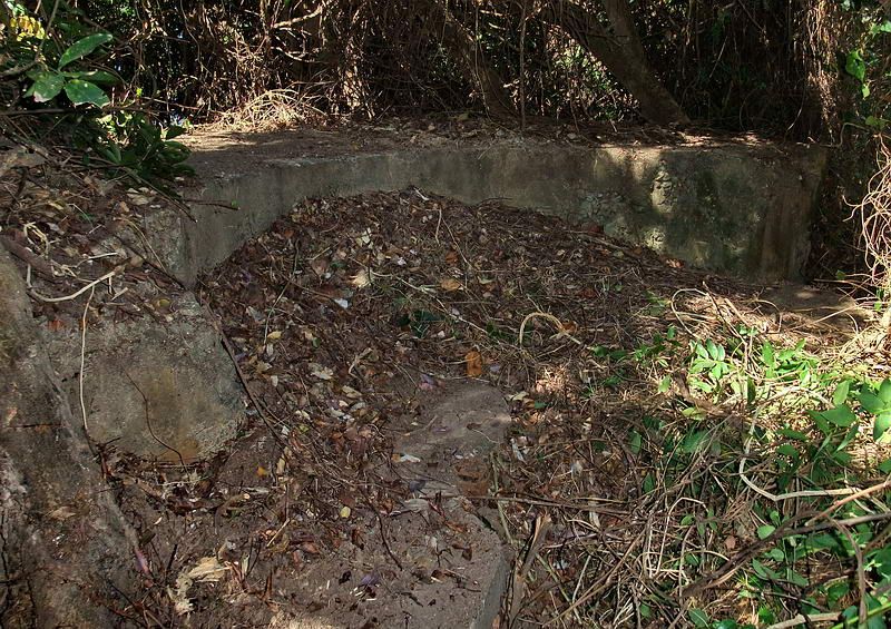
Another view of the semi-circular concrete pedestal.
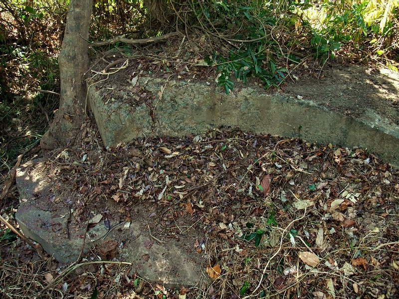
Another view of the semi-circular concrete pedestal.
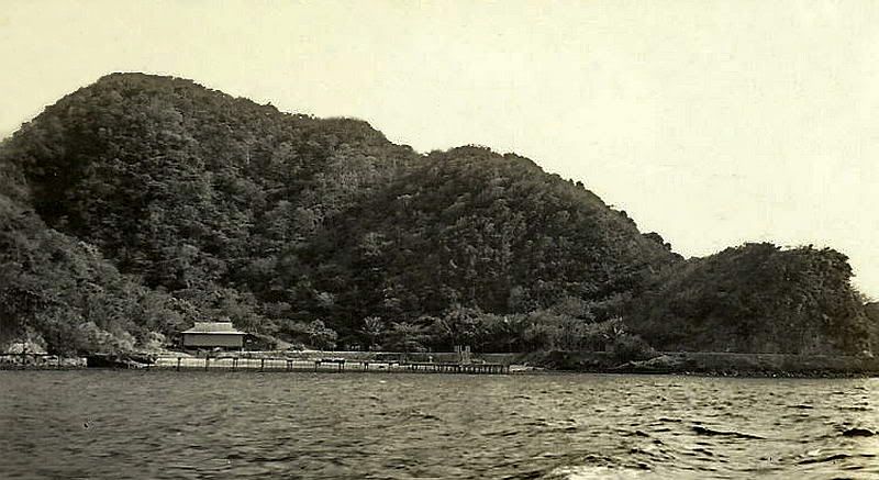
On the north side of Corregidor Island between Engineer Point (seen on the left) and Malinta Point (seen on the right) is the Enlisted men’s Swimming Beach. The North Shore Road passes along the base of Malinta Hill which is in the background. The beash was said to have had a shark net.
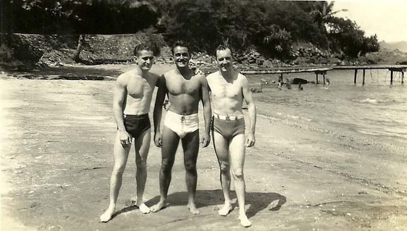
Enlisted men’s Swimming Beach.
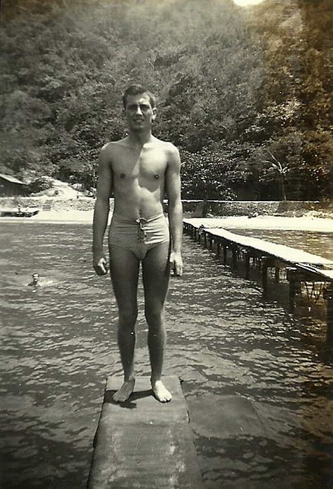
Enlisted men’s Swimming Beach.
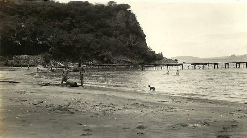
Enlisted men’s Swimming Beach. A bit of Bataan near Mariveles can be seen in the background.
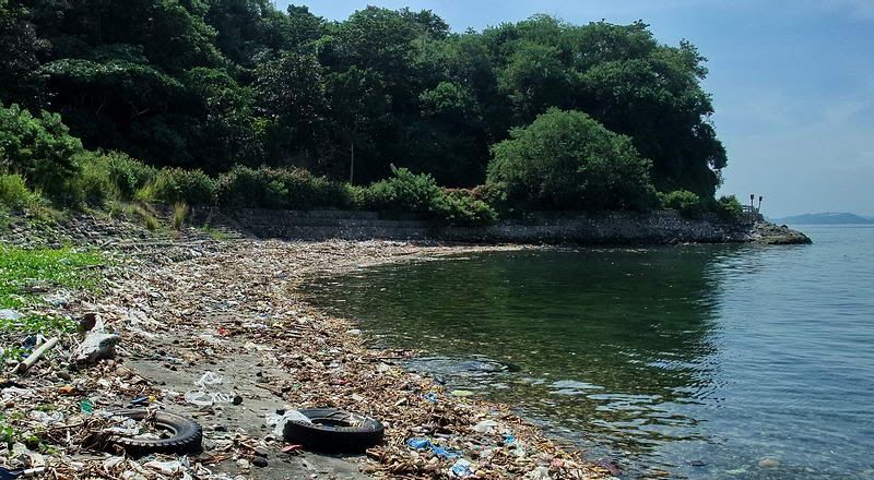
Enlisted men’s Swim
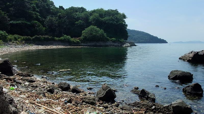
Enlisted men’s Swimming Beach in October 2010.
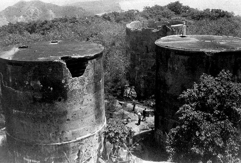
From the old Spanish Lighthouse looking east, there are four concrete water tanks. This photo shows three of them plus Malinta Hill and a piece of Tailside.
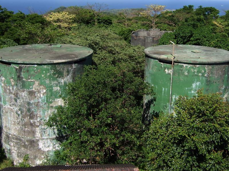
A similar 2009 view taken from the up the rebuilt Lighthouse. The front two tanks were patched up at some time and reused. The right one is still in operation.
In 2007, I was wandering around the Kindley Field area and came upon a dual gun position with a center magazine. With trees and vines in front I never even saw it until I was quite close. Since this was before I had good maps of the island, I was unsure what it was. Soon I learned that this was 1-F-1 (Sector 1, Field Gun position #1).
In three short years, this position (and 1-M-1 beside it) have both been transformed from historical Corregidor defensive positions into a new memorial park. It is now called the Mindanao Garden of Peace. History has been groomed, resurfaced and is virtually unrecognizable.
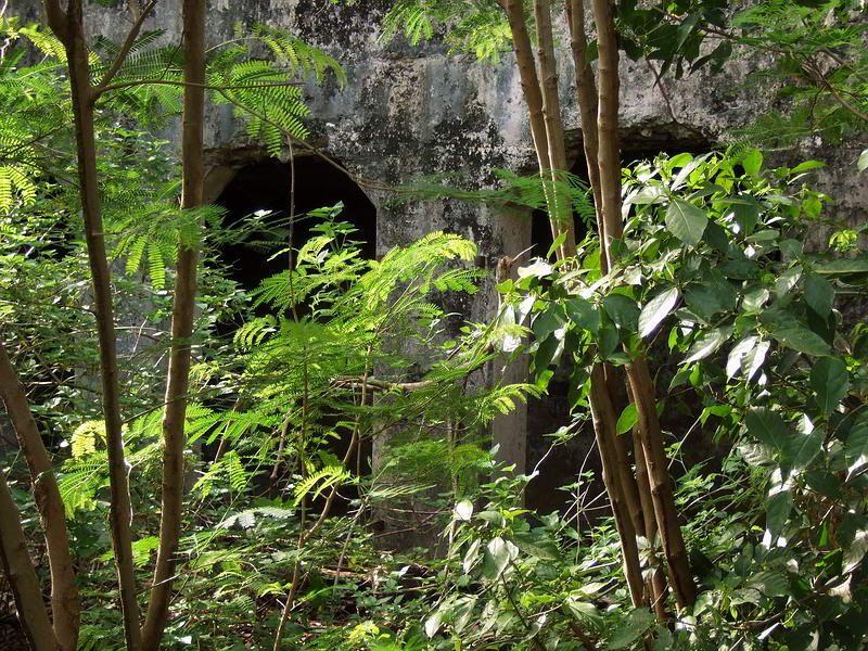
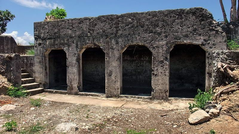
Approaching the magazine of 1-F-1.
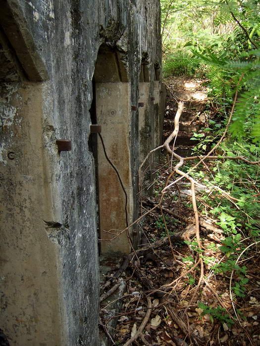
Side view of the magazine’s doors.
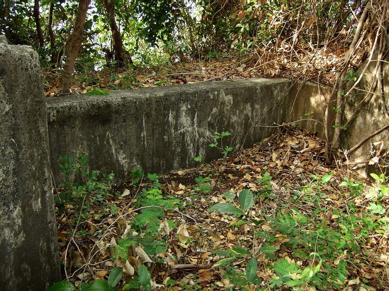
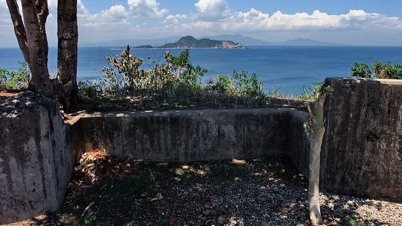
Gun position #1.
Intermediate photo showing the trees and other vegetation have been removed.
Intermediate photo showing a bare looking magazine.
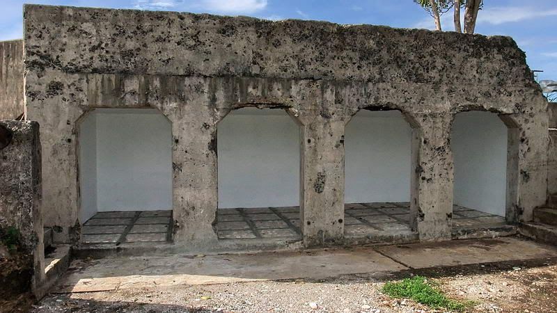
Transformed view of the former magazine/new picnic area.
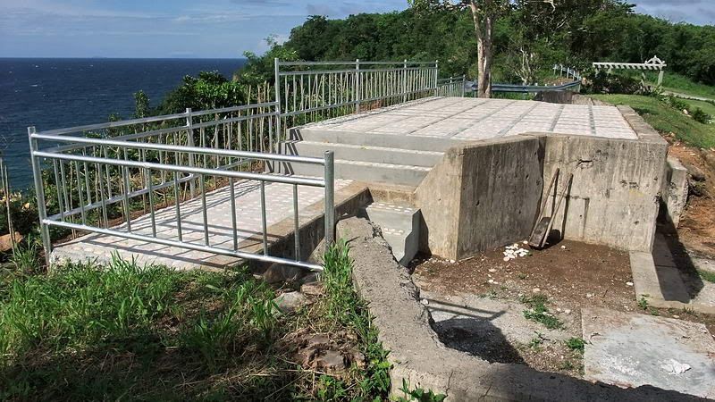
New floor and guard rails complete the transformation.

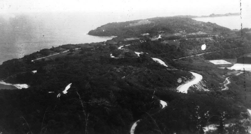
The view from Malinta Hill looking east along Tailside. The grey area near top center is Kindley Field.
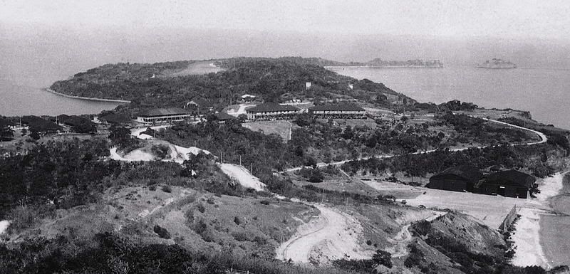
The view from Malinta Hill looking east along Tailside. (Paul Cornwall photo from either 1940 or 1941).
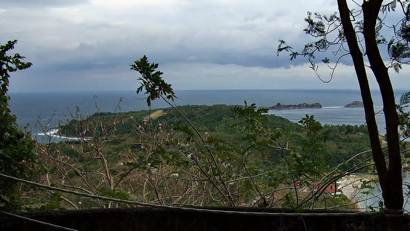
With all the trees around, this is as close to the same view I can get today.
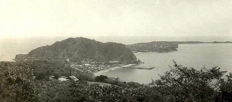
Topside view of Corregidor looking east.
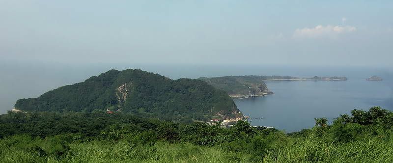
Topside view of Corregidor looking east taken in 2009. The original photographer had a higher vantage point and was further south than I can get today.
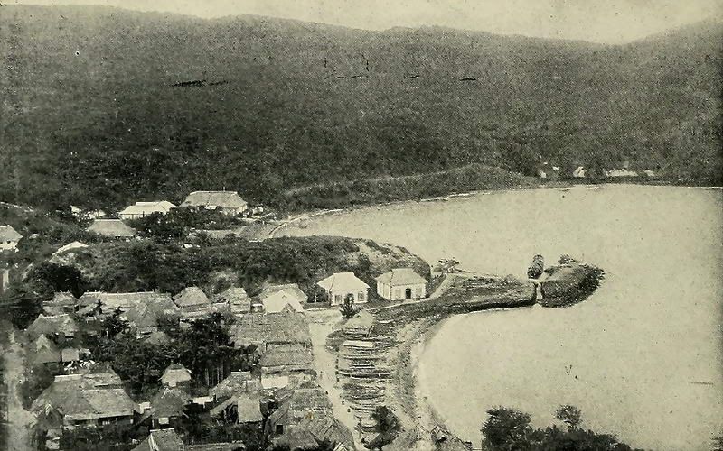
1899 photo showing Bottomside north. The US Army Corps of Engineers changed this view considerably when they added the Lorcha, North and Engineer Docks plus altered the shape of the coastline.
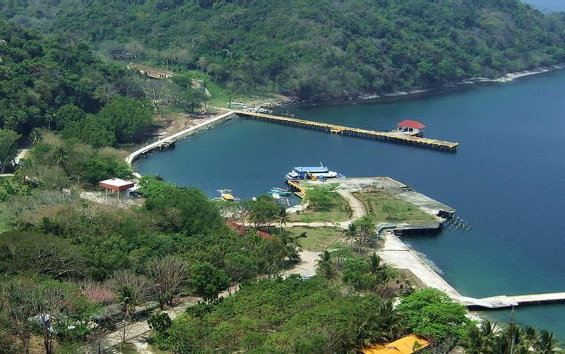
2009 photo showing Bottomside north. This view is from much higher up Malinta Hill than the old photo. Trees completely block any lower level view. The ridge near left center of the previous photo is still there but now hidden by trees.
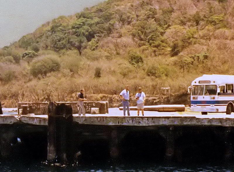
Battery RJ43 was equipped with the only 8-inch gun on Corregidor Island. At some point in the past, someone decided that the gun barrel would make a good display on the North Dock. This 1985 photo shows the barrel lying on the dock so I assume it got mounted around that time. (photo taken by Karol Ames)
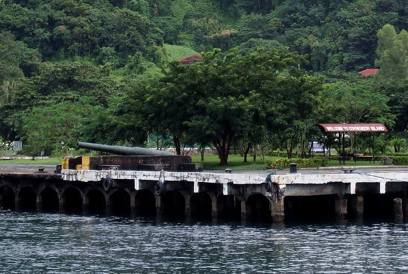
2009 photo of the 8-inch gun barrel on the North Dock.
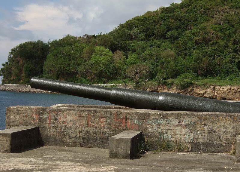
2007 close-up view of the gun barrel.
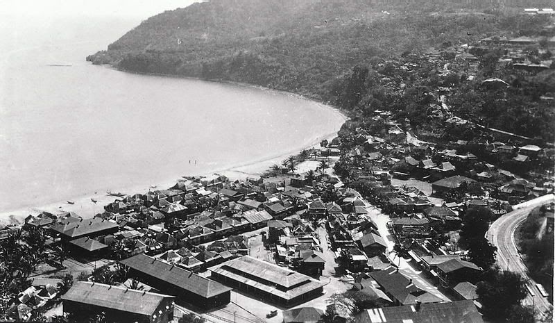
Here is another photo taken from Malinta Hill but this time looking in a south western direction. This is Barrio San Jose on Bottomside south. (Paul Cornwall photo from either 1940 or 1941).
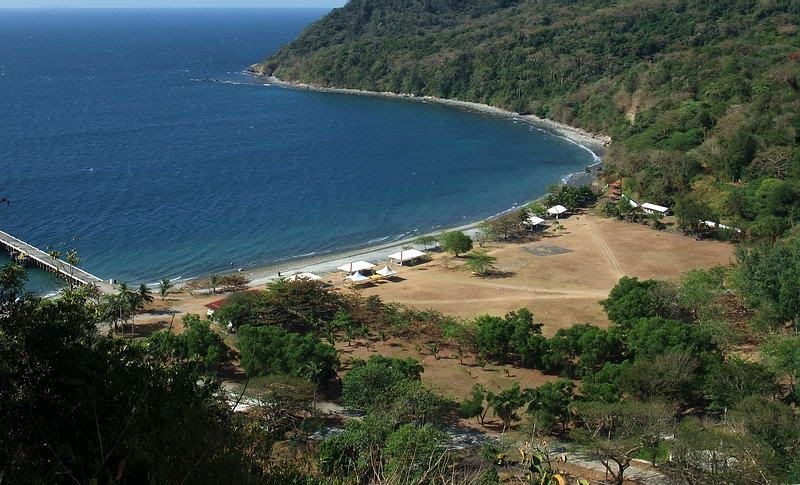
2010 photo of Bottomside south showing Black Beach and part of the South Dock.