|
|
Post by chadhill on Aug 16, 2010 10:32:48 GMT 8
"Now" 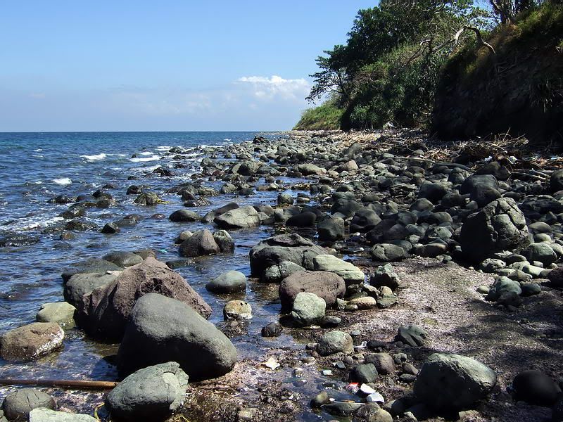 (reposted with enlarged image) Attachments:
|
|
|
|
Post by chadhill on Aug 16, 2010 10:44:41 GMT 8
One more. East of North Point, looking east, 1986. P.S.-I'll try to get better.... 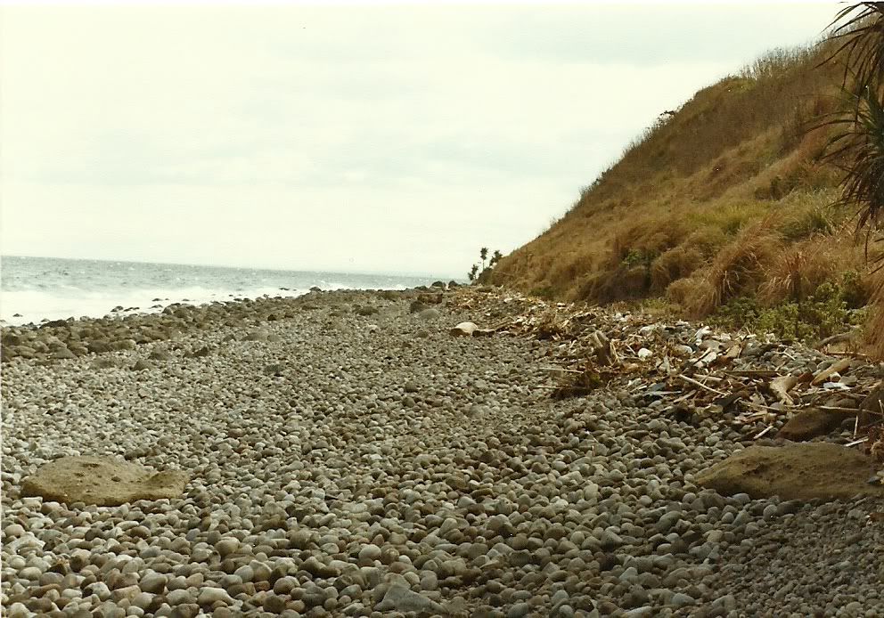 (reposted with enlarged photo) Attachments:
|
|
|
|
Post by chadhill on Aug 16, 2010 10:45:46 GMT 8
Your "Now"... 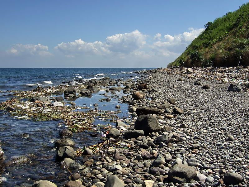 (reposted with enlarged image) Attachments:
|
|
|
|
Post by chadhill on Sept 11, 2010 13:33:15 GMT 8
1986 photo of Infantry Point (from the east side) 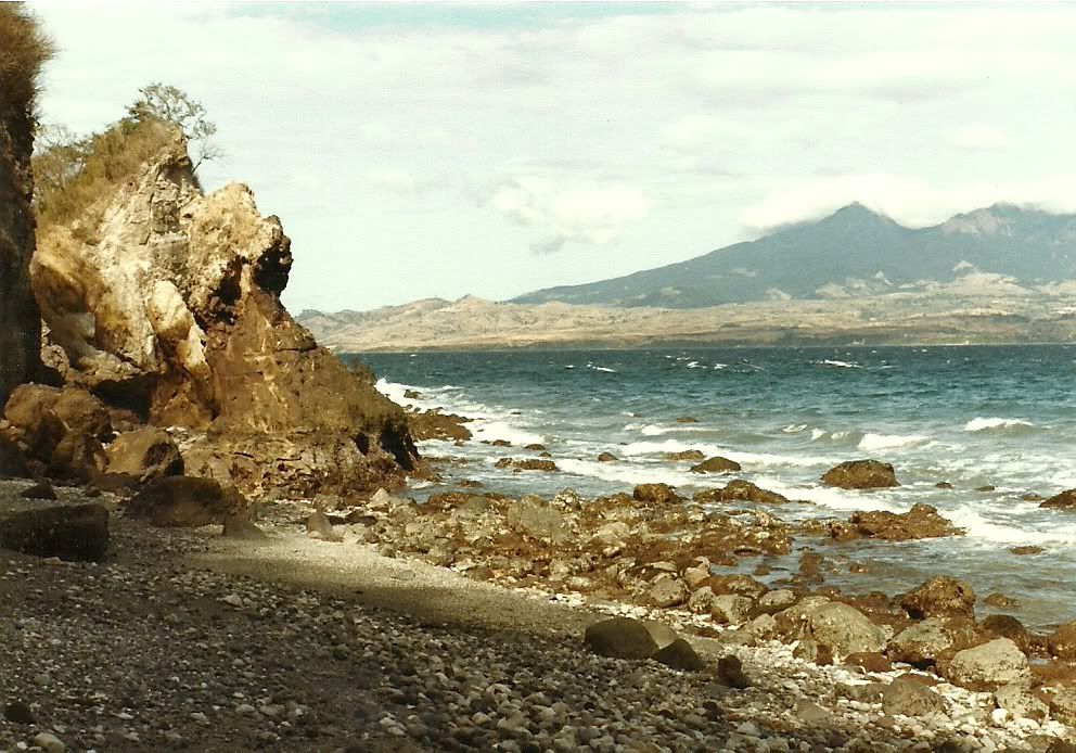 |
|
|
|
Post by chadhill on Sept 11, 2010 14:25:46 GMT 8
I believed this was part of the remains of Battery Kysor, at Infantry Point, 1986. 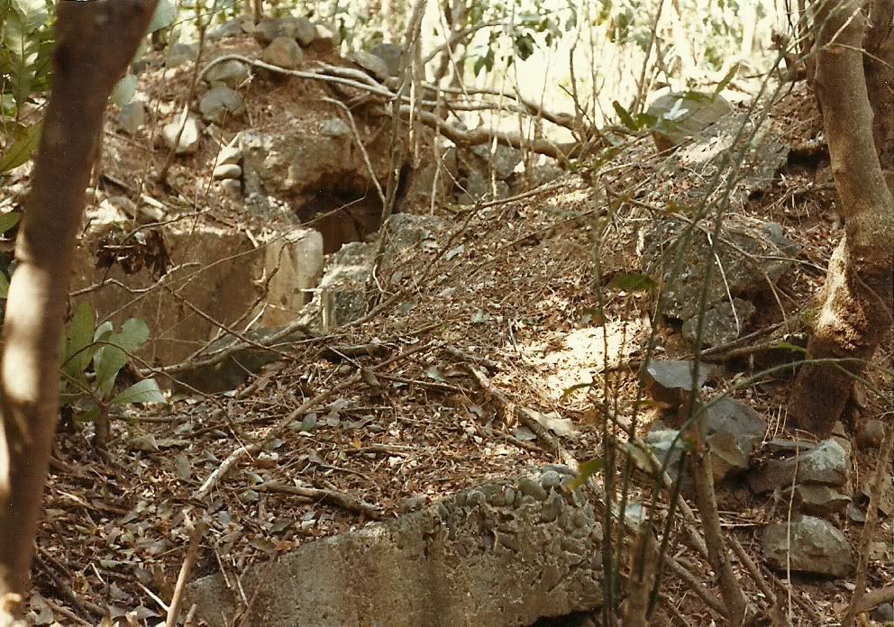 |
|
|
|
Post by okla on Sept 11, 2010 23:20:55 GMT 8
Hey Chad...Can't get enough of "before and after" or "then and now" pix. Cheers.
|
|
|
|
Post by chadhill on Sept 12, 2010 4:11:49 GMT 8
Thanks, okla. I've read that a Japanese shell struck the very tip of Infantry Point, knocking off a portion of the cliff. Maybe that's what is shown in my old photo above...
|
|
|
|
Post by chadhill on Sept 28, 2010 0:02:47 GMT 8
Another "Now and Then". Here's fots2's 2007 image of the concrete wall leading to the entrance of the Navy Radio Intercept Tunnel: 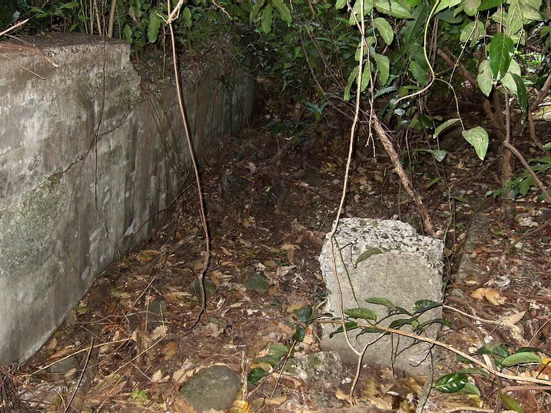 Here's my 1986 photo: 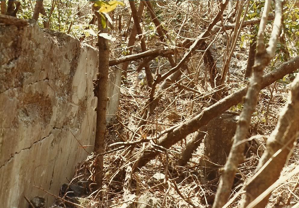 |
|
|
|
Post by chadhill on Sept 28, 2010 0:12:23 GMT 8
Standing in, and overlooking part of what I believed was the crater, at the ruins of the Navy Radio Intercept Tunnel, 1986. I remember that it struck me as resembling a shallow gully except there was debris strewn about. 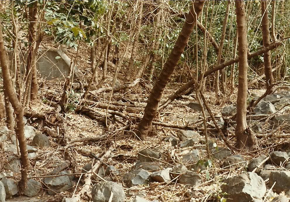 This opening was near the concrete wall and crater at the Navy Radio Intercept Tunnel. I was alone and unfortunately could not muster the gonads required to climb down inside and explore it. 1986 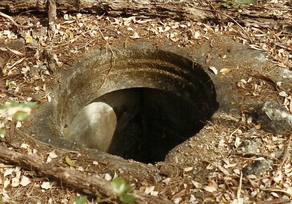 |
|
|
|
Post by fots2 on Sept 30, 2010 20:57:50 GMT 8
Last month I decided to try a different route when walking on Tailside. Instead of walking along the road, I walked from Battery Maxwell Keyes to Monkey Point along the southern cliffs. I have always wondered if there was any way to get down to the rocky beaches. Now I know that there isn’t. 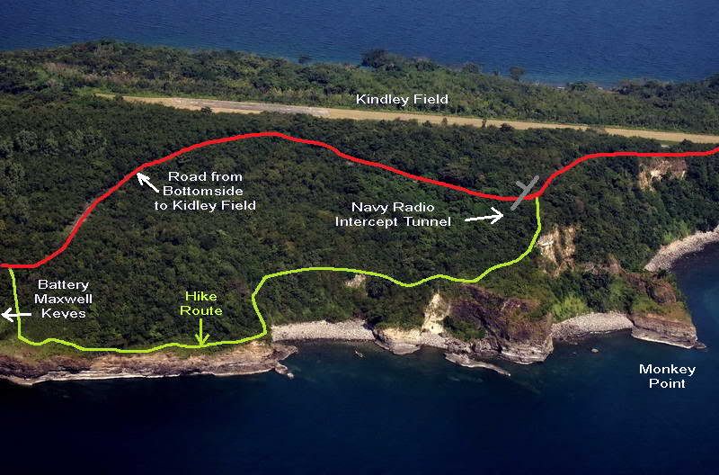 Labeled photo of this section of Tailside. 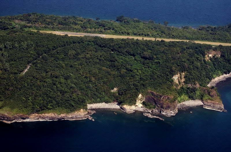 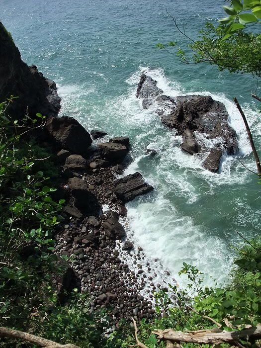 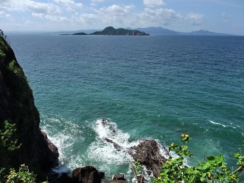 Caballo Island and the province of Cavite are in the distance. 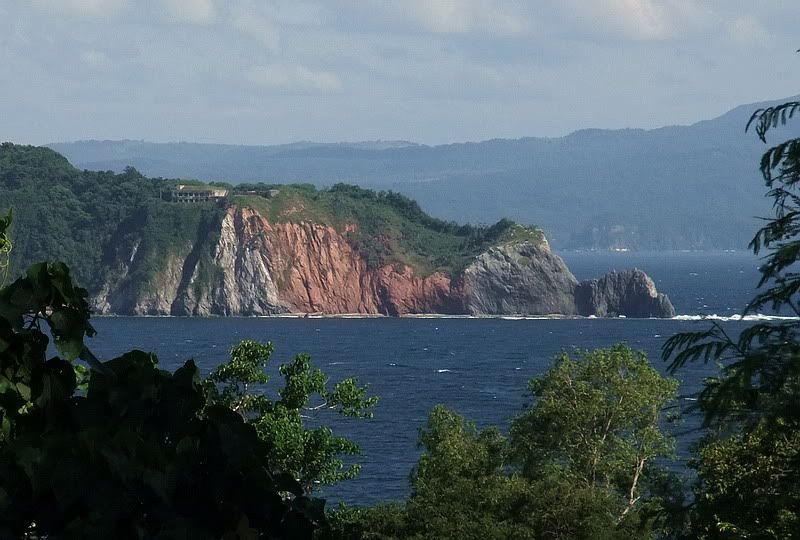 Looking across to the western end of Caballo Island (x5 zoom). 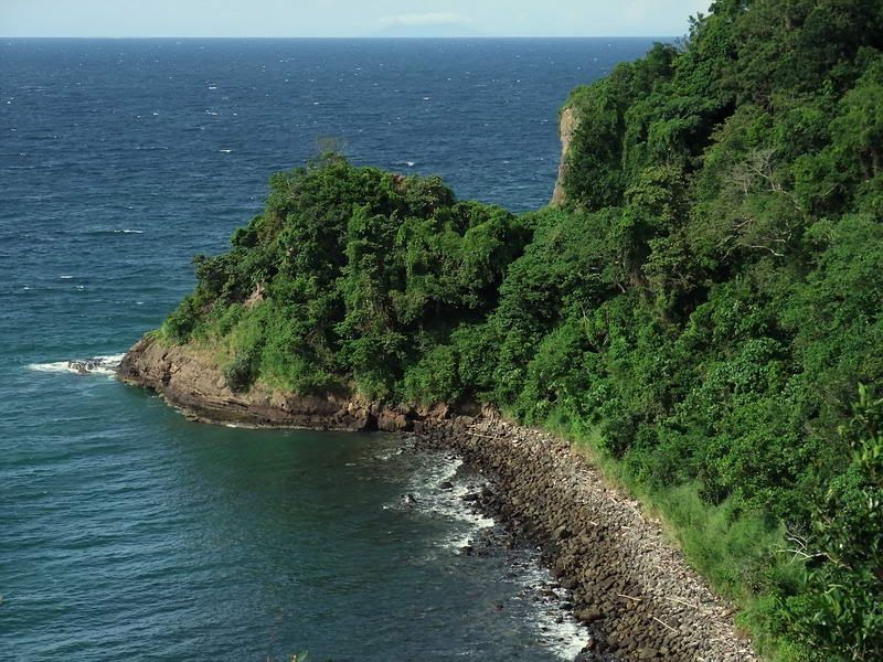 From a viewing area near Kindley Field, this is the usual view people see when looking at Monkey Point. 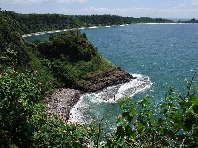 Here is a view of Monkey Point seen the opposite direction looking east. 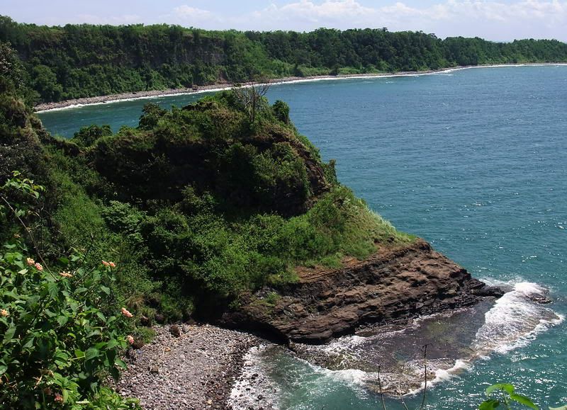 A closer view of Monkey Point. |
|