|
|
Post by okla on Dec 29, 2010 9:30:37 GMT 8
Hey Fots....What better way to close down the year than with a Final Fots Fantastic Foto Tour (unless you manage to squeeze in one more before the hammer comes down). I must confess that I was beginning to feel the first twitches of "withdrawal", but as usual you came to the rescue. Maybe it comes from being a fellow "addict". Thanks for being my "enabler". I am sure that 2011 will be even better. YOU THE MAN!!!
|
|
|
|
Post by tomasctt on Dec 29, 2010 9:48:21 GMT 8
Wow! You walked all the way to the eastern tip! I'm envious. ;D I'd like to do that one day, too.  Great photo set, fots! Thanks again for sharing.  Wish I was back there. |
|
|
|
Post by fots2 on Oct 17, 2011 20:20:16 GMT 8
Here are a few more photos of the eastern part of Corregidor Island. On the north side of the island between Engineer and Artillery Points are some small tunnels dug by the Japanese to house Shinyo Suicide boats. The day I was there some fishermen were using one of them as a place to cook rice for lunch. 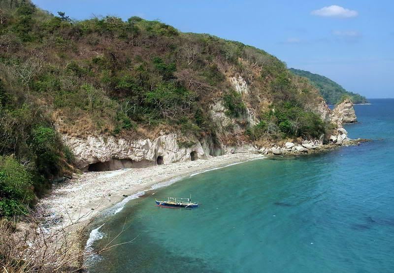 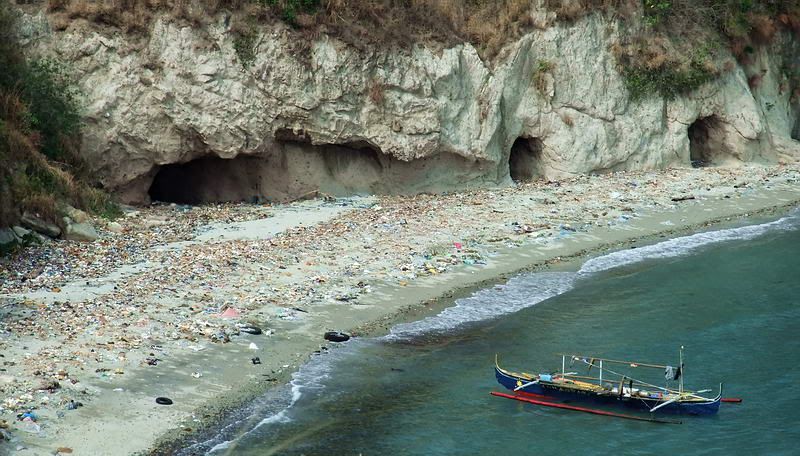 A closer look at the tunnel entrances. Now over on the south side, Battery Maxwell Keyes is a very short distance from a cliff above the beach. Here is the view looking west towards Ordinance Point. 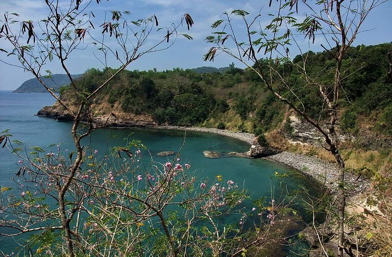 On a cliff looking down at a local fisherman. 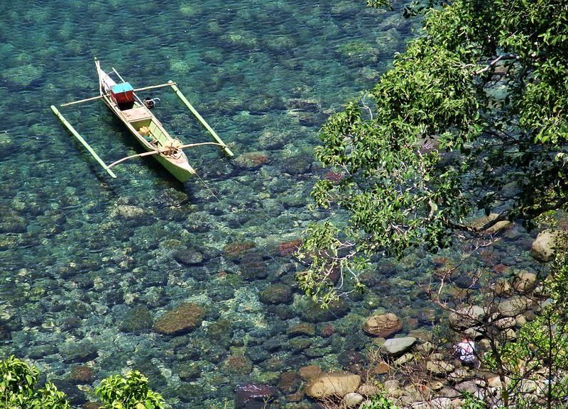 Here is what Ordinance Point looks like when standing on the cliff above it. I don’t think I will be walking around this point. 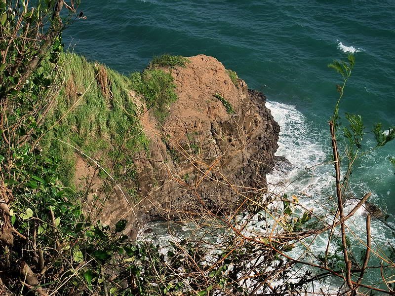 This is a section of the south coast between Malinta Hill and the 92nd Garage area. 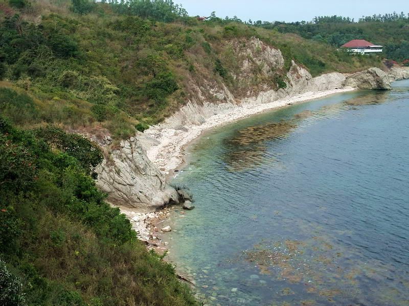 If you make your way down to the beach between Malinta Hill and the 92nd Garage area, here is the view looking towards Malinta Hill. This is the steep south side of the hill and the winding South Shore Road around it. 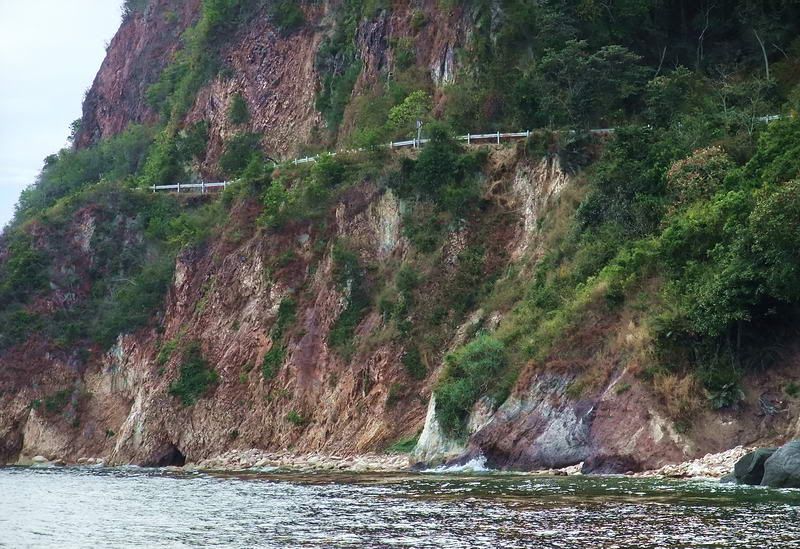 The tail of Corregidor Island is very narrow but it is possible to get up on it in a few places. Here is the view looking back along the curved tail. In the distance straight ahead is Mount Mariveles on Bataan. 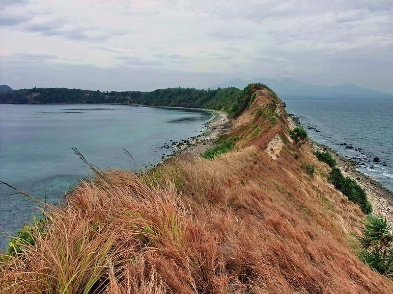 Finally, here is a look along the tail in the opposite direction. Caballo Island and Cavite are in the distance. 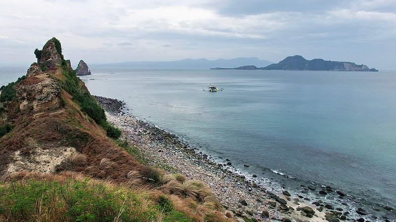 |
|
|
|
Post by okla on Oct 17, 2011 22:03:19 GMT 8
Hey Fots....You have, again, made my day. I am preparing to visit my Medic for my annual Physical Exam and was in a lousy mood. But am placed in a much better frame of mind after viewing another Fantastic Fots Foto Tour. The Prostate Exam will be easier to endure due to your "little pocket camera". I am, once again in your debt. Cheers. Postscript....Each time I look at that narrow South Road, I am reminded of what a formidable defensive position we held against the invaders back in May 1942. This passage and it's sister on the Northern side of Malinta offered little to the Japanese attackers. All those "what ifs" arise, once again, in my over active imagination. Thanks again for another excellent "fix".
|
|
|
|
Post by fots2 on Oct 17, 2011 22:53:15 GMT 8
You are welcome okla. Good luck with the Medic.
Malinta would have been one tough hill to get around if it had come to that.
|
|
|
|
Post by fots2 on Nov 23, 2011 0:30:27 GMT 8
Last month I was heading from Bottomside around to the north side of Malinta Hill. On the way I passed the Enlisted Men’s Swimming Beach between Malinta Point and Engineer Point. Many years ago it looked like a good place to spend some time. 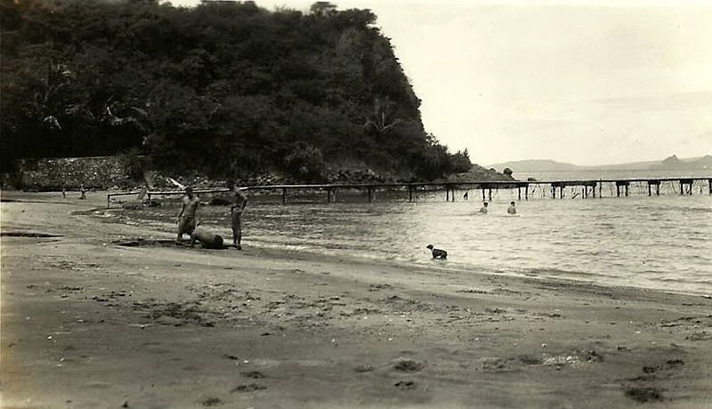 Undated photo of the Enlisted Men’s Swimming Beach. I seem to remember reading that the swimming area had a shark net. 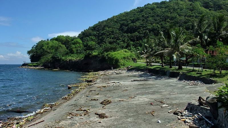 I started on Bottomside at the Lorcha Dock. From the end of the dock, this is the view looking east towards Malinta Point. 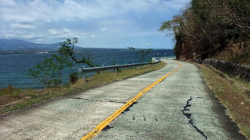 The North Shore Road on the way to Malinta Point. 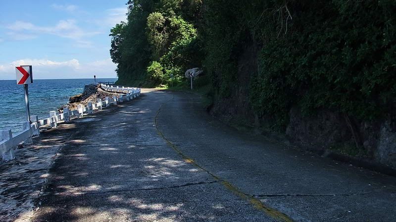 Approaching Malinta Point. 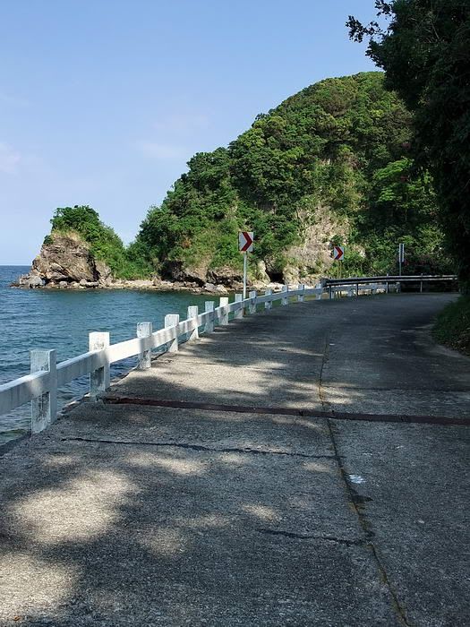 Coming around Malinta Point with Engineer Point in the distance. 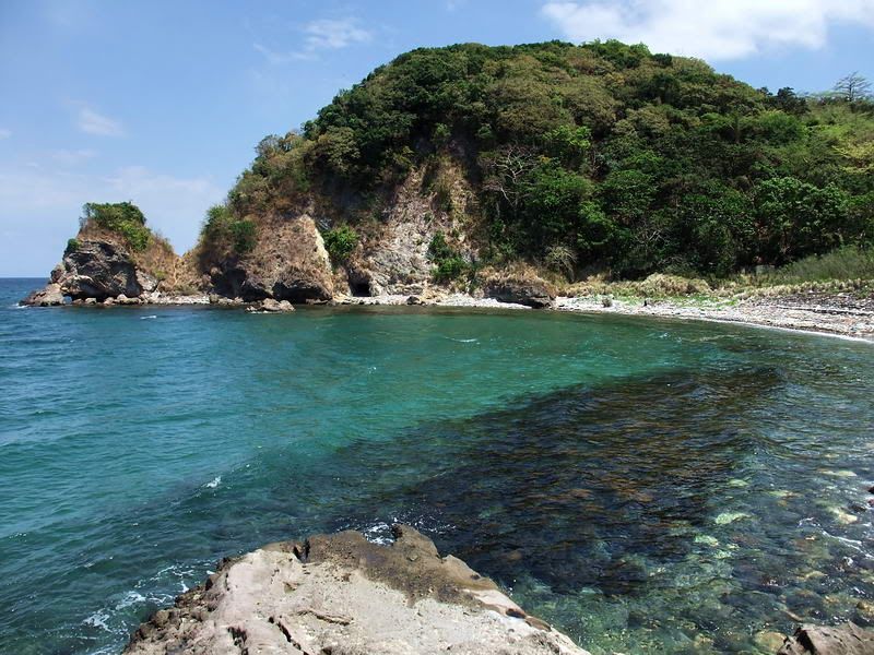 The little bay between Malinta Point and Engineer Point. Part of the former swimming beach is to the right. 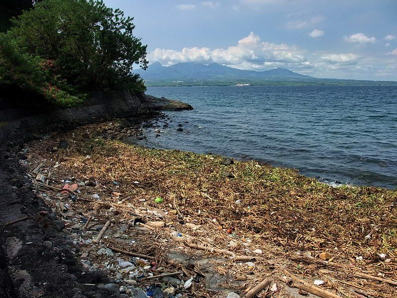 Part way along the beach looking towards Bataan. Tides cause garbage and vegetation from Manila Bay to litter the beach. 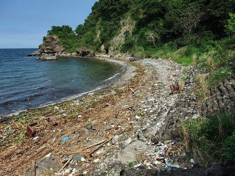 Looking in the opposite direction towards Engineer Point. 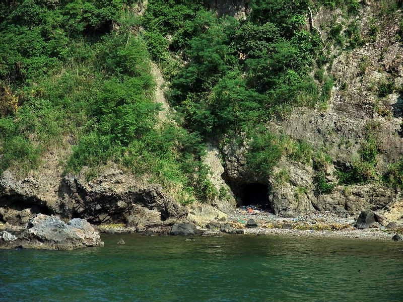 Dug into the rock is a tunnel that housed one of the Shinyo suicide boats. 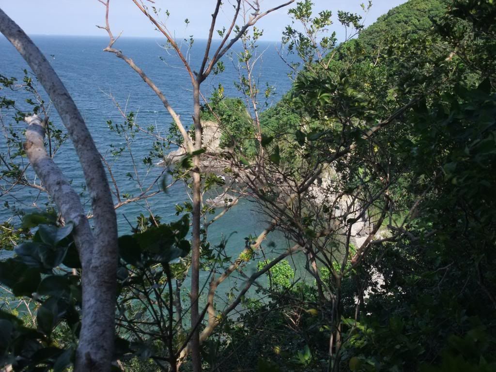 From the top of Malinta Point we are looking through the trees to Engineer Point. 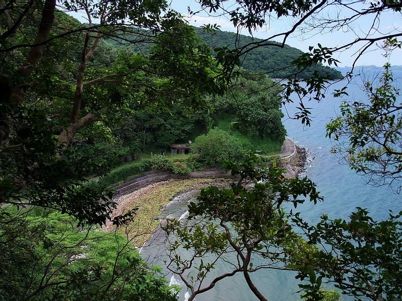 On the opposite side of the bay at Engineer Point, this is the view looking west towards Malinta Point. 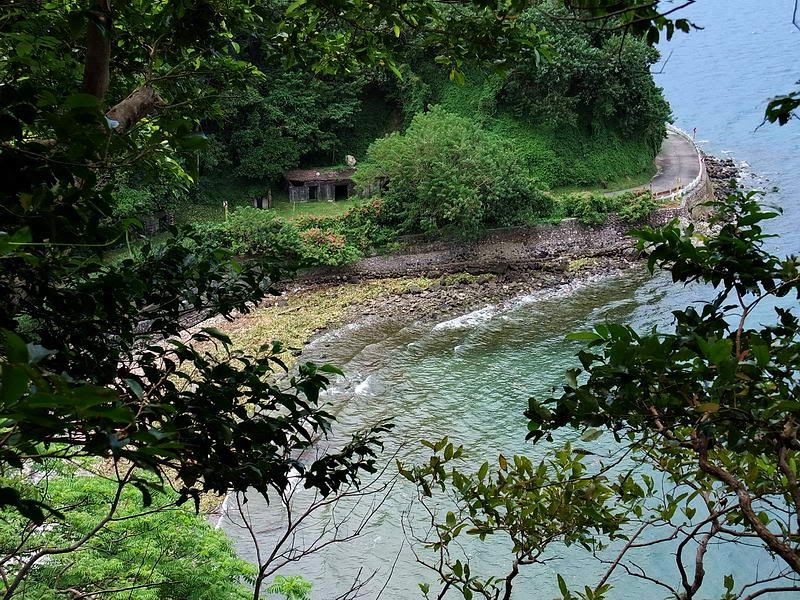 Here is a closer view of part of the beach and the North Shore Road coming around Malinta Point. 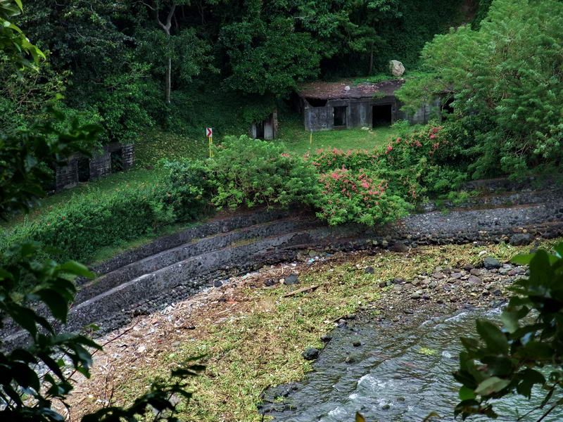 There are a few old buildings along the North Shore Road here. This one to the right is called Casemate #3. Note the big rock on the roof that has fallen down from Malinta Point in the past few months. |
|
|
|
Post by pdh54 on Jul 25, 2012 22:48:20 GMT 8
Fots In this picture from post 42, is there really such a difference in the water/shore levels? Or is it an optical illusion? Patty Attachments:
|
|
|
|
Post by okla on Jul 26, 2012 6:28:48 GMT 8
Hey Patty....On first perusing this pic, I too thought that the sea level varied, with the North Shore line being higher than the South, It is kind of an optical illusion, but when I eyeballed it for a bit longer it evened out (I THINK). lol.
|
|
|
|
Post by sherwino on Jul 26, 2012 8:18:29 GMT 8
That's an interesting optical illusion. The coast on the horizon is even so the frame is not tilted significantly.
|
|
|
|
Post by fots2 on Jul 26, 2012 8:49:58 GMT 8
That does look strange but sherwino is correct, the water lever is the same on both sides. I might have tilted the camera a bit when trying not to fall off that grassy peak. Sharp eyes there Patty.
|
|