|
|
Post by okla on Jul 16, 2013 23:00:29 GMT 8
Hey Guys....Great stuff. I say, again, how I do envy you and your opportunity to prowl these hollowed grounds in person. I also say, again, how indebted I am to you, enabling me to be able to do the same by proxy, thanks to you. Cheers.
|
|
|
|
Post by cbuehler on Jul 18, 2013 0:44:43 GMT 8
Very hard to believe that the impenetrable jungle of 1942, has been taken down to bare rock in some places, like where the sheep had grazed. There appears to be an already existing trail though the sheep area, maybe one of the trails though the jungle where the troops passed to battles in the Battle of the Points. Is this the area Col. Bunker shelled in 1942 in support of the troops trying to drive the Japanese off the Points? Any craters from his big Batteries evident? Any truth to the tale that the points are actually lava fingers from an ancient eruption of Mt Mariveles? I would like to do that walk sometime Karl. Are the munitions American or Japanese? As mentioned in previous posts, Longoskawayan was never jungle, but looks much the same today as it did during the battle. Most all us were under the impression that Bataan was a mass of jungle during the war, but it is not so. Many areas were cleared and cultivated even back then, particularly on the east side of the peninsula. CB |
|
|
|
Post by victor on Jul 21, 2013 3:26:44 GMT 8
I'm back stateside and have so much to share... but need to unpack and attend to family needs  I cannot thank Karl, Bob, Sherwin, and Edna enough. Karl was such a trooper and awe-inspiring guide and scout. Thank you Karl! For now I just want to share some of the close-up head stamp pictures of the Longoskawayan cartridges. I took the photos the day after the Bataan trip. They were mostly FA 40 and 41, but I thought there were some from the 1930's (eg. FA 32)  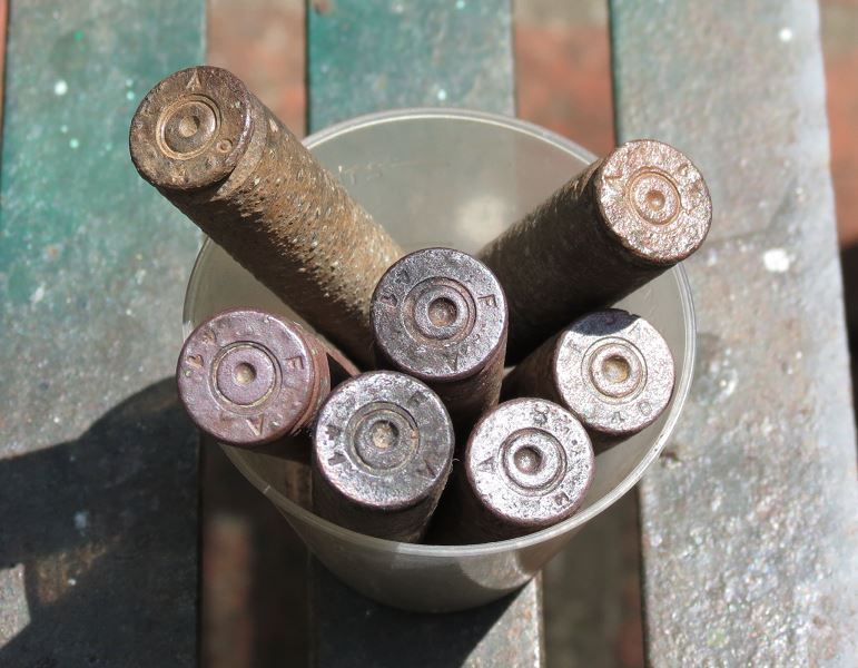 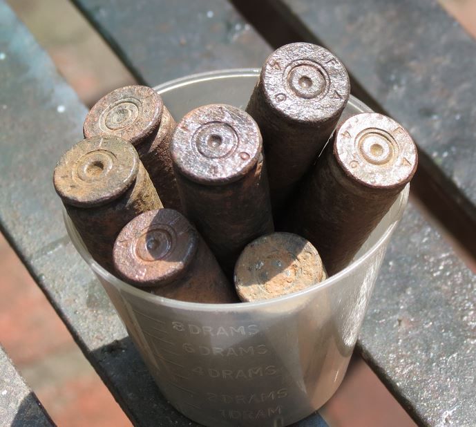 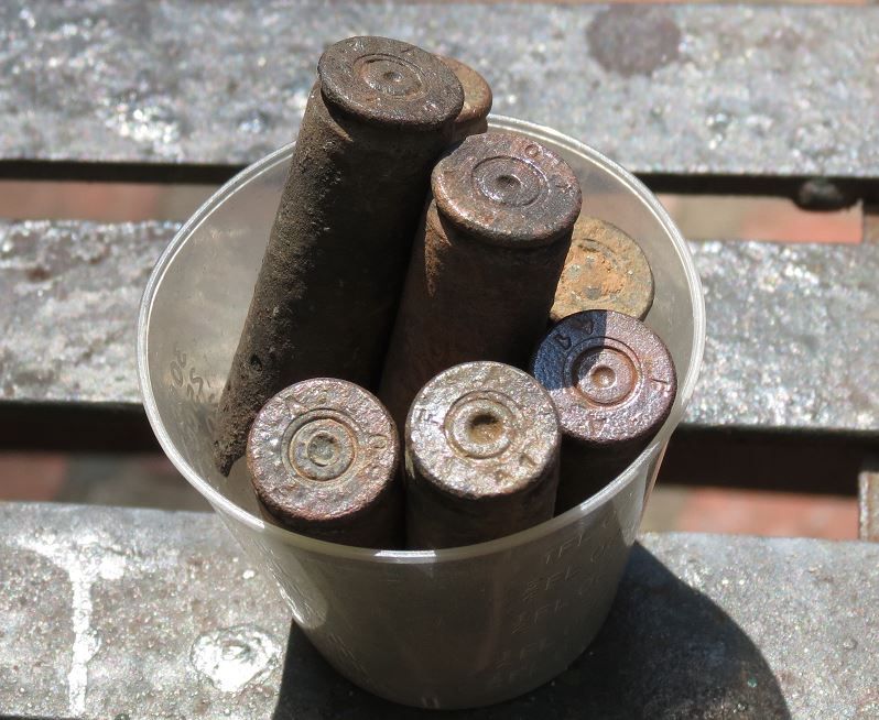 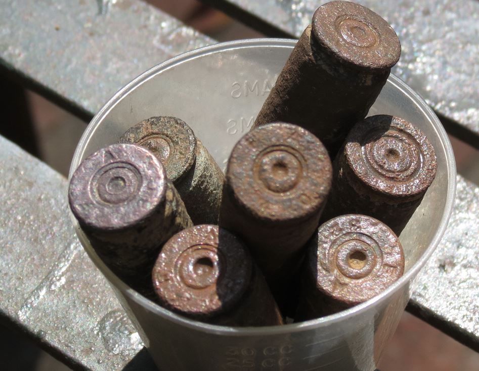 |
|
|
|
Post by chadhill on Jul 21, 2013 9:07:35 GMT 8
Great finds, victor! I was puzzled by the small container in the upper right corner of your first picture. After some digging around, I found this photo of a Japanese first-aid kit in the 1944 War Department Handbook on Japanese Forces. The two small bottles shown resemble the one you found, although they seem a bit larger.  This aerial view of Longoskawayan was taken in 1961 by the late Colonel John Olson. Nineteen years after the battle, the Point is only partially overgrown. Lieutenant Hogaboom's 2 FEB 42 "Narrative of Events", posted back on the lower part of page 4 in this thread, refers to the vegetation as "brushy" and as "dense undergrowth". There is no mention of jungle; Hogaboom refers to "patrolling the wooded section on the southeast bluff of Lapiay Point", but this is just north of Longoskawayan. For comparison, a pic I took in 1986 follows.   Colonel Olson wrote about the disposition of the Japanese remains in ANYWHERE-ANYTIME, his history of the 57th Infantry (PS). From page 118: The reports of the Graves Registration Service unit No 2 that buried the bodies stated that 2 officers and 64 enlisted men were buried on January 31st. On the first of February they interred 1 officer and 26 men who had jumped over the cliff, together with 11 others found in the debris. The remaining estimated 200 were either drowned, blown up in the shelling, or buried by their own comrades. At least six were made prisoner. |
|
|
|
Post by victor on Jul 21, 2013 9:45:10 GMT 8
Chadhill, thank you so much for the Japanese boot and first aid bottle photo references. You saved me research time. Thank you (x 10)  Karl found the bottle near the cliff edge. There's also a .50 cal tracer round in the picture. I found that on the south slope halfway to the point. I'll map the rough spots where we found items and post it later. I have no doubt that the foliage was dense underbrush. In your 1986 photo, there's heavy foliage that drifts down the slope halfway to the water. This is the slope I used to get down to take pictures of the cliff side (which I haven't posted yet). As you can see from Karl's pictures, there are only clumps of low grass with exposed dirt in between them, instead of the heavy foliage of 1986. In your photo, there's also heavy foliage in what is now flat grasslands in this picture: 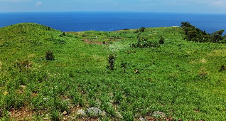 Will post more soon. Victor |
|
|
|
Post by victor on Jul 23, 2013 8:02:28 GMT 8
Here's a rough map of areas where we found artifacts. Karl and Sherwin may have found some things in other spots that I may have missed or forgotten. 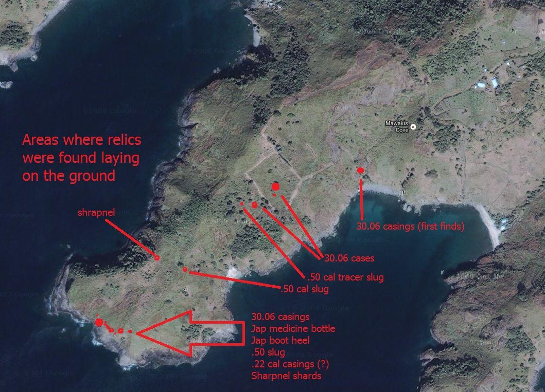 |
|
|
|
Post by rlbj25 on Jul 23, 2013 10:14:32 GMT 8
Hey Victor, welcome back- it looks like you had a great trip. Its often difficult to get one's mind around what was happening on Bataan, so excursions like the one you, Karl and sherwino took really helps to give an appreciation of the terrain and course of events. The artifacts add the human element too.
It was great to meet you at Arlington a few weeks ago. If you ever want to visit and do a Corregidor/Bataan-specific Arlington tour, let me know. Looking forward to you sharing more from your trip.
|
|
|
|
Post by victor on Jul 23, 2013 21:11:39 GMT 8
Thanks Rob! Same here, pleasure to meet you at Arlington. Thanks for the offer on the Arlington tour. One of these days...
|
|
|
|
Post by victor on Jul 24, 2013 20:26:52 GMT 8
View of Mariveles on our hike to Longoskawayan 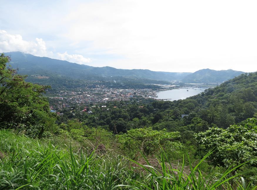 We entered the Mauakis Cove retreat center. They have goats there and the caretakers oversee and manage the beach area. I've pre-contacted the owner before our trip. From there, this was our jump off point to descend into Longoskawayan was the nipa hut. 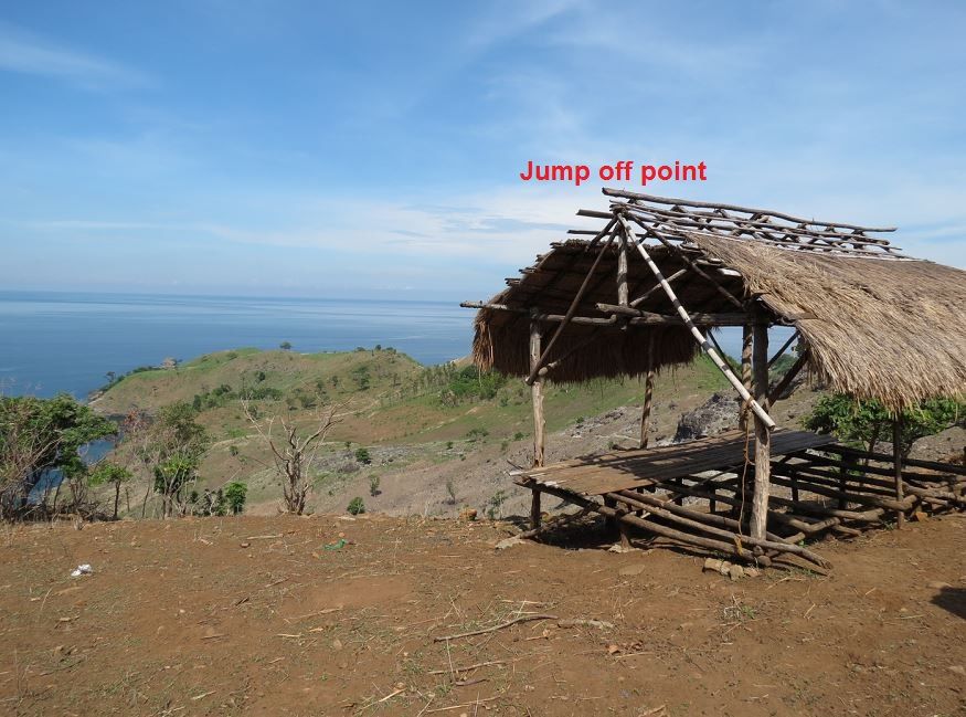 Karl ready to go! 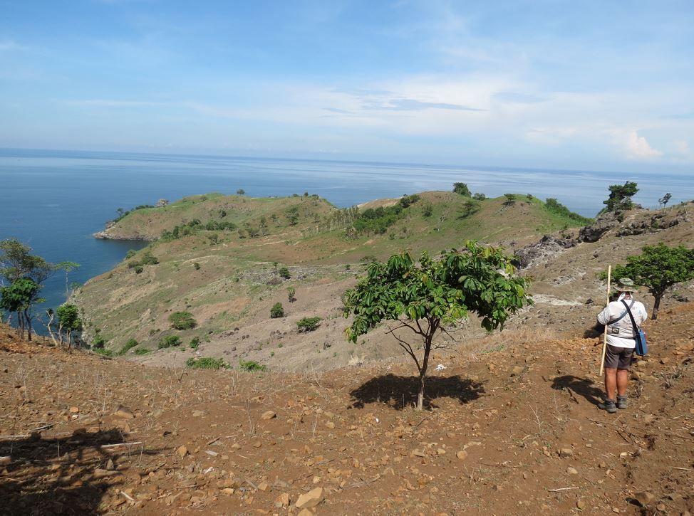 Karl leading the pack in the distance. I stayed behind for a few minutes to take pictures and chat with Darwin, the caretaker about why we were there. 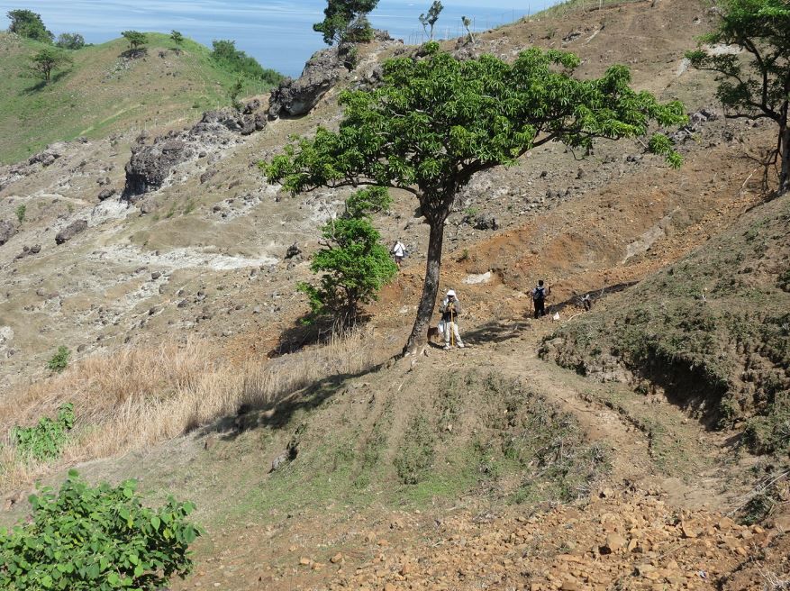 The kind of terrain we picked our way through to get down. 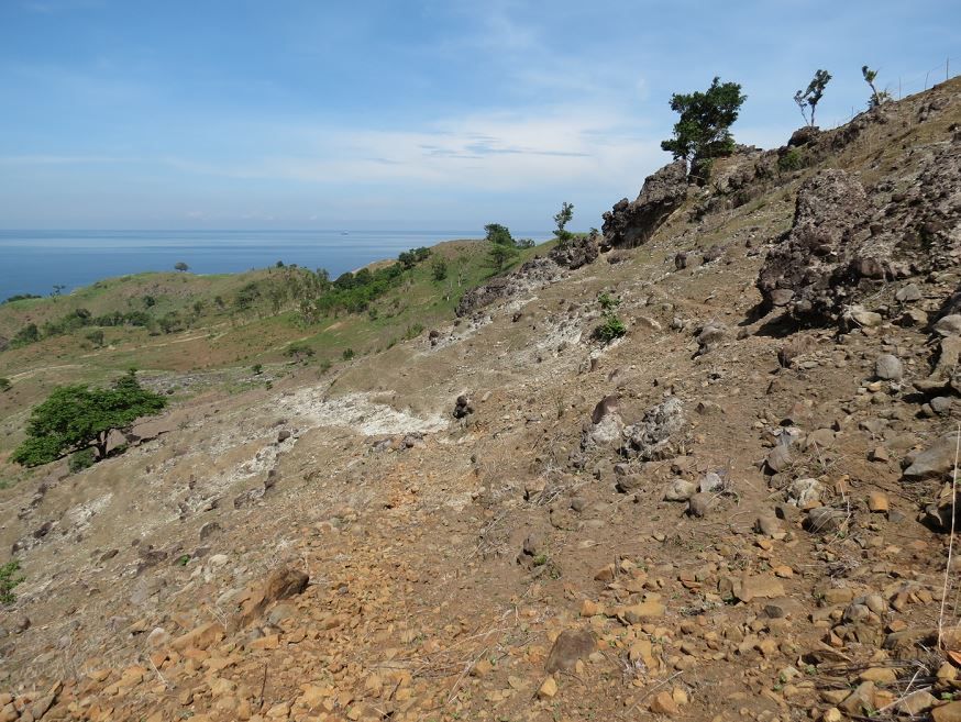 Me resting a bit after we reached the bottom. At this point the heat had made a dent on my energy. 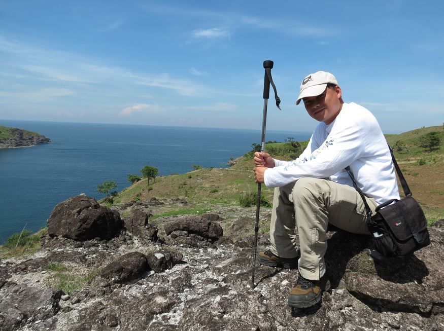 The view at the first tree I took a break at after getting down from Mt. Mauakis. 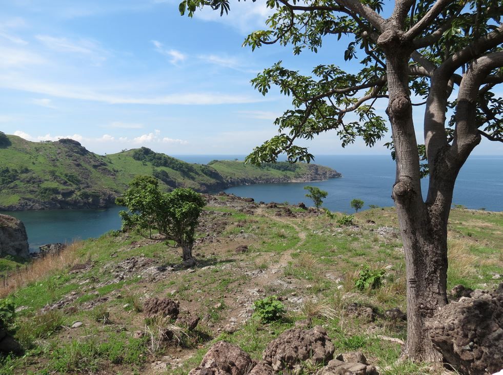 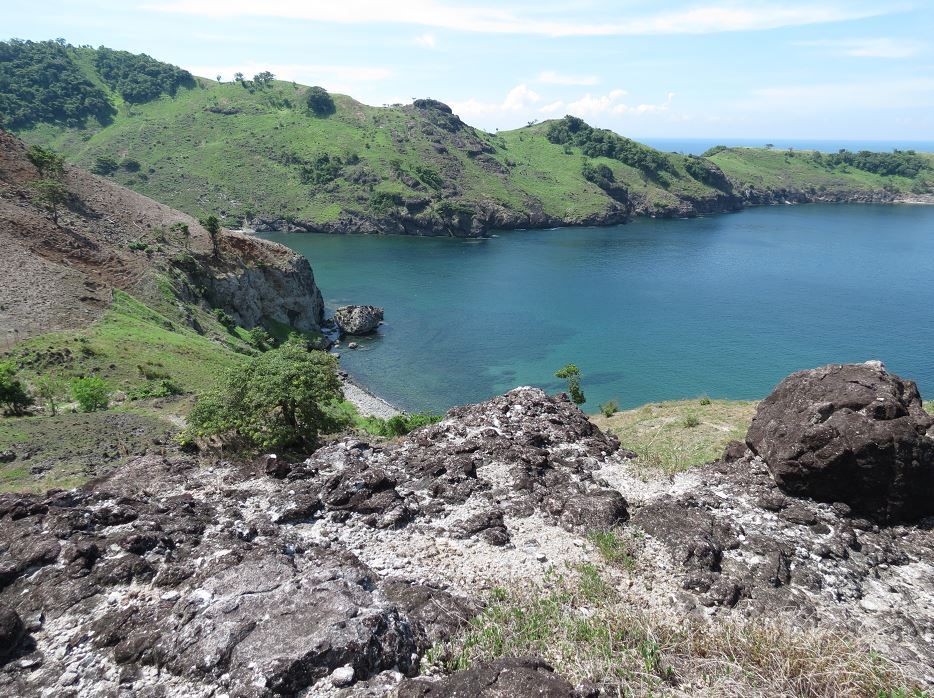 The water looked very inviting down there. 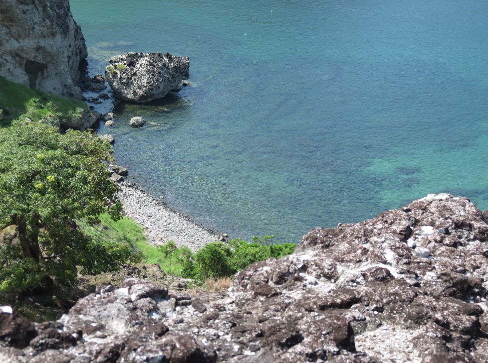 Zoomed in a bit so it looks close, but we were much higher in elevation than the picture suggests. 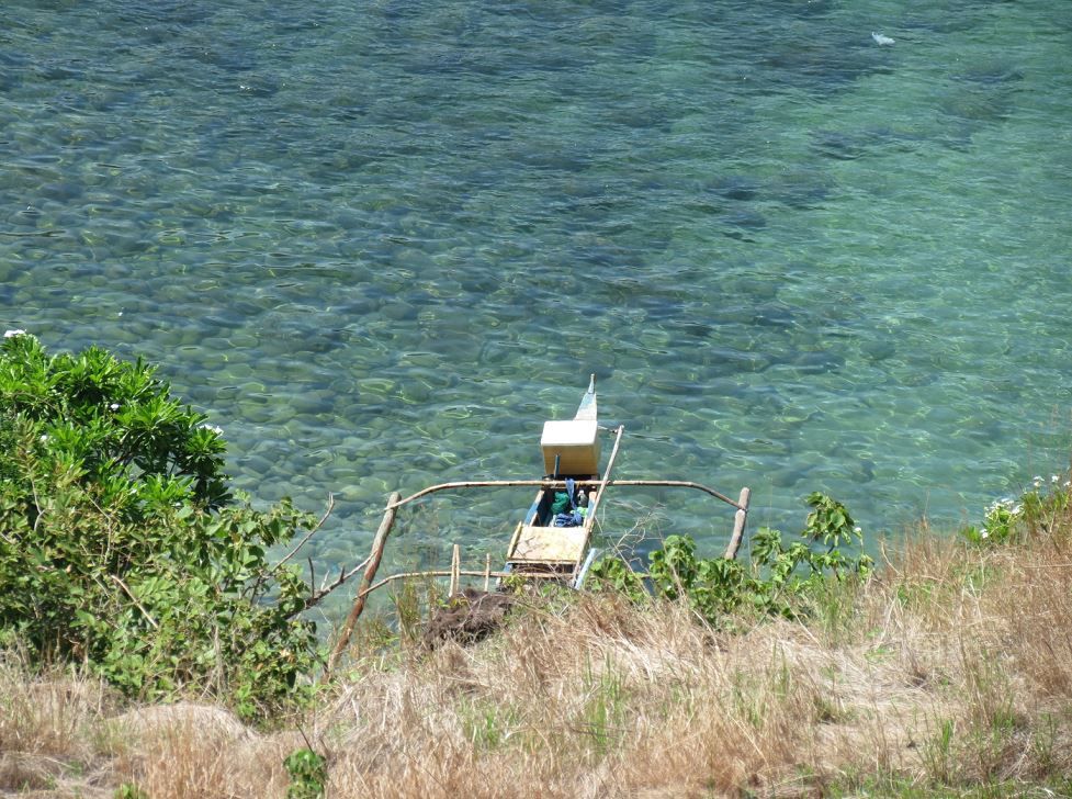 Looking back up to where we came from. 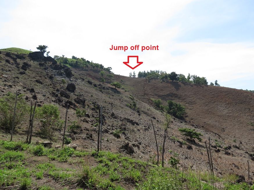 Around the place where I was resting, I looked down and immediately noticed these 30.06 shells. 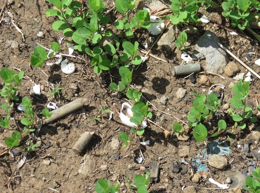 Following Sherwino up the slope. This was roughly halfway to the point.  Picking my way up the slope, I noticed a .50 tracer slug on the ground 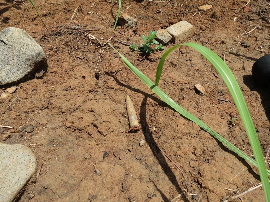 I keep looking back where we came from 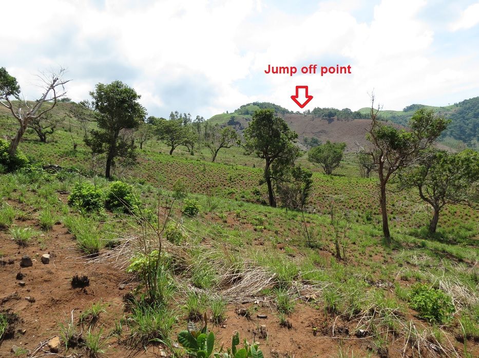 I finally caught up with everyone resting under the big shade tree. This was about 80-85% of the way through to the point.  Another view of the tree. Looking north is Lapiay point. 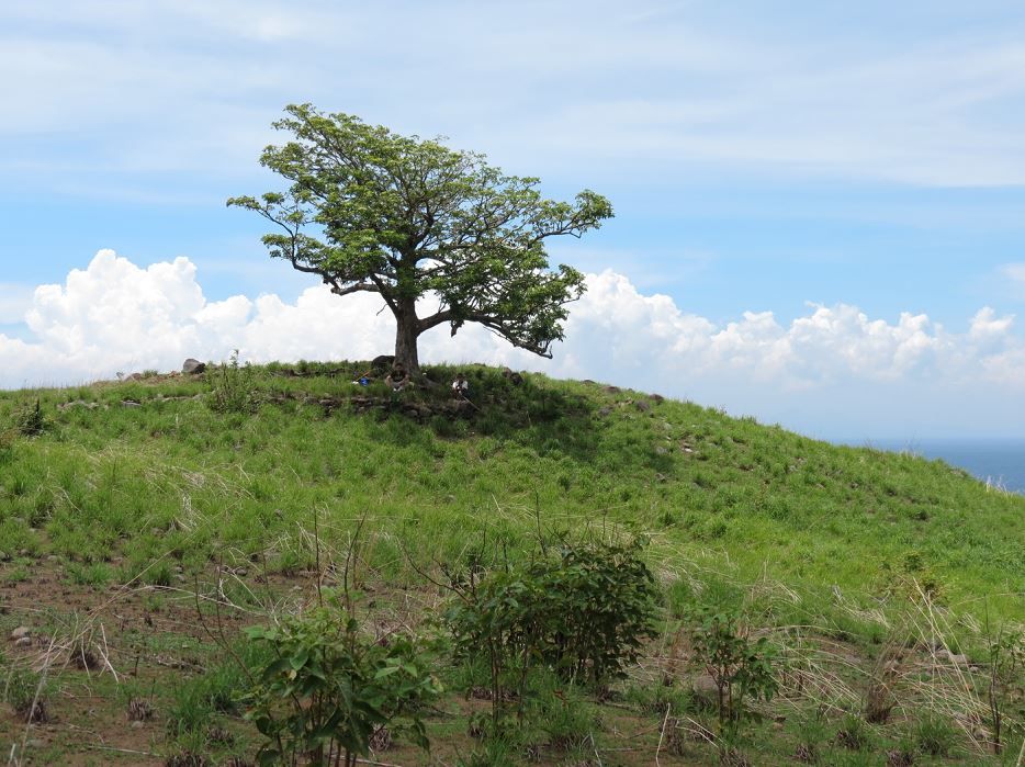 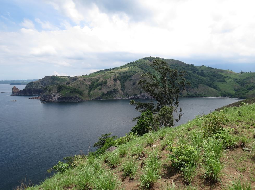 (to be continued) |
|
|
|
Post by victor on Jul 24, 2013 21:53:36 GMT 8
Finally reached the end. Resorted to using a handkerchief to cover nape from the sun 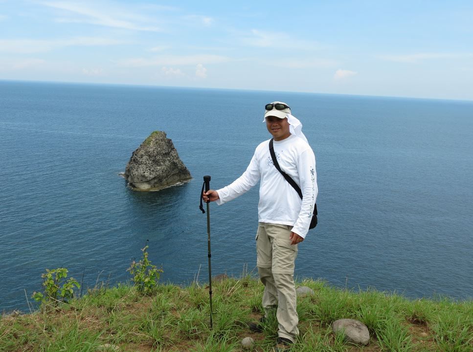 Good shot of Sherwino at the point 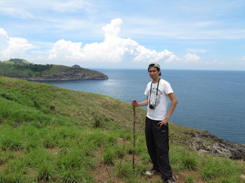 Another .50 slug near the cliff edge area of the point 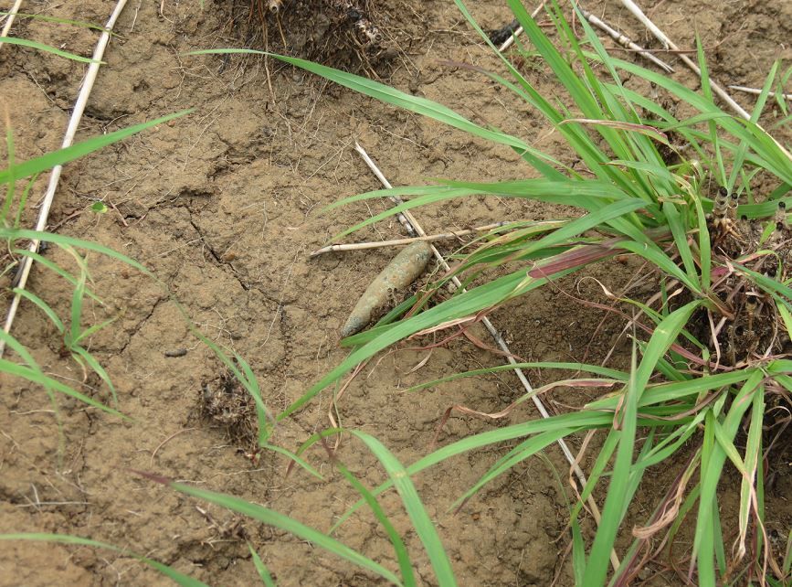 Dug out something that looked like the neck of an old container 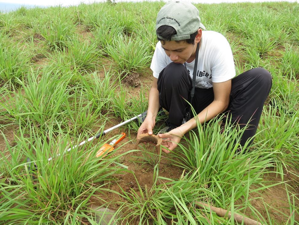 Looking down at the bottom 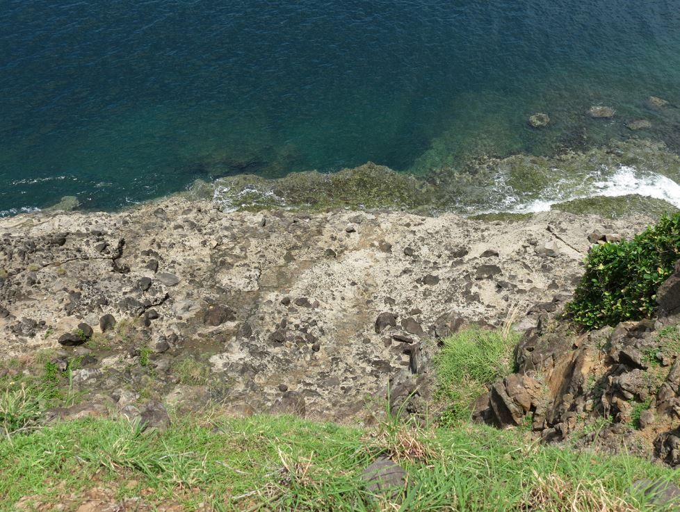 Made my way down a bit to see cliff better 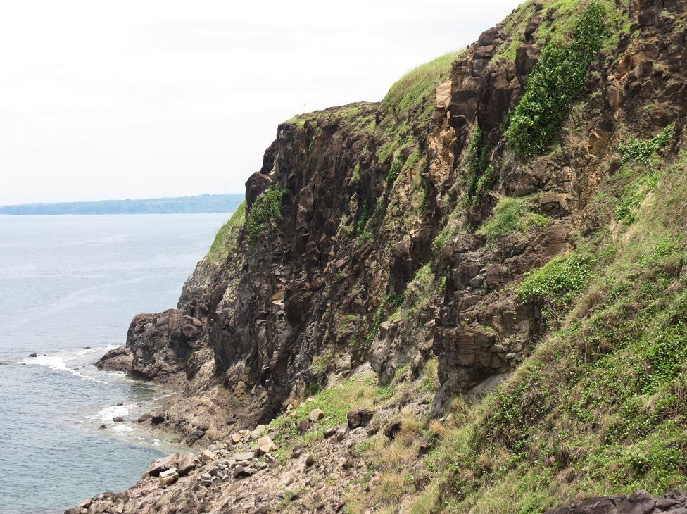 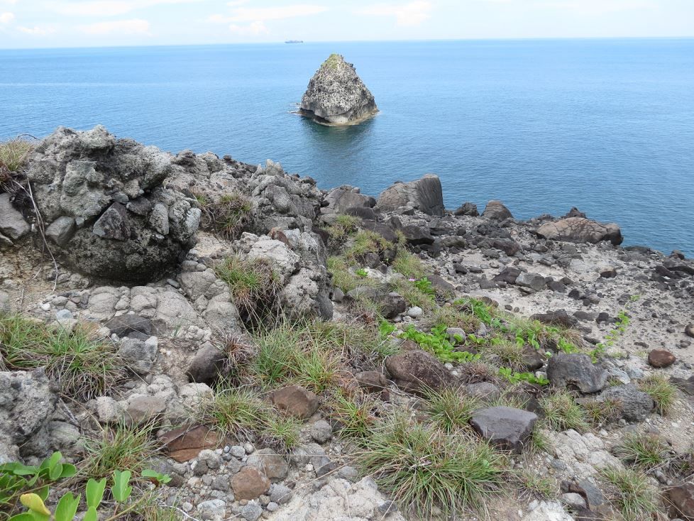 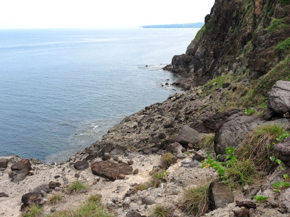 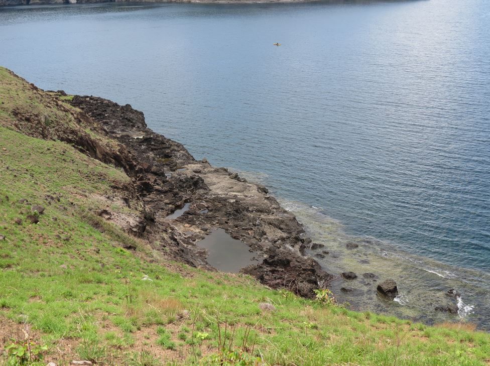 Looking up 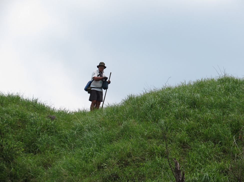 Needed to get back up this slope after taking pictures of the cliff face 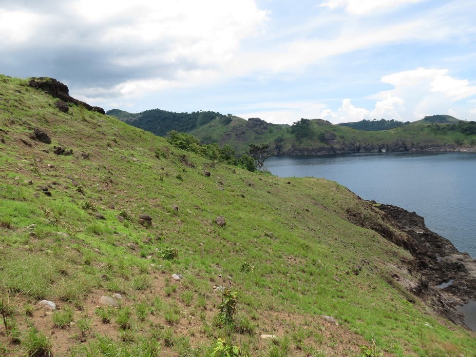 Went back to the shade tree to rest and get more water while Karl and Sherwin looked around for more relics. I zoomed in a picture of them as they walked back to the tree. 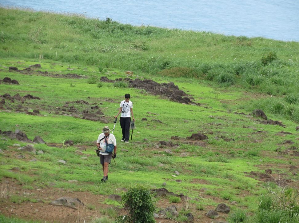 Gathering up just a few of the finds to take pictures of them 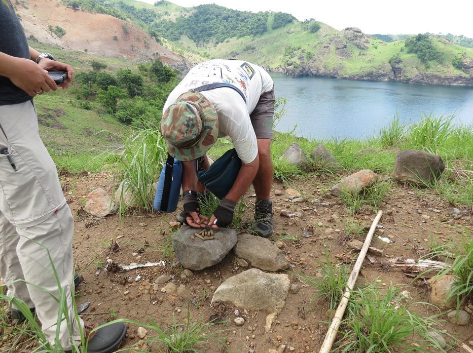 Hiker/Explorer Extraordinaire Karl, waiting for the rest of us to summon the energy for the trek back. 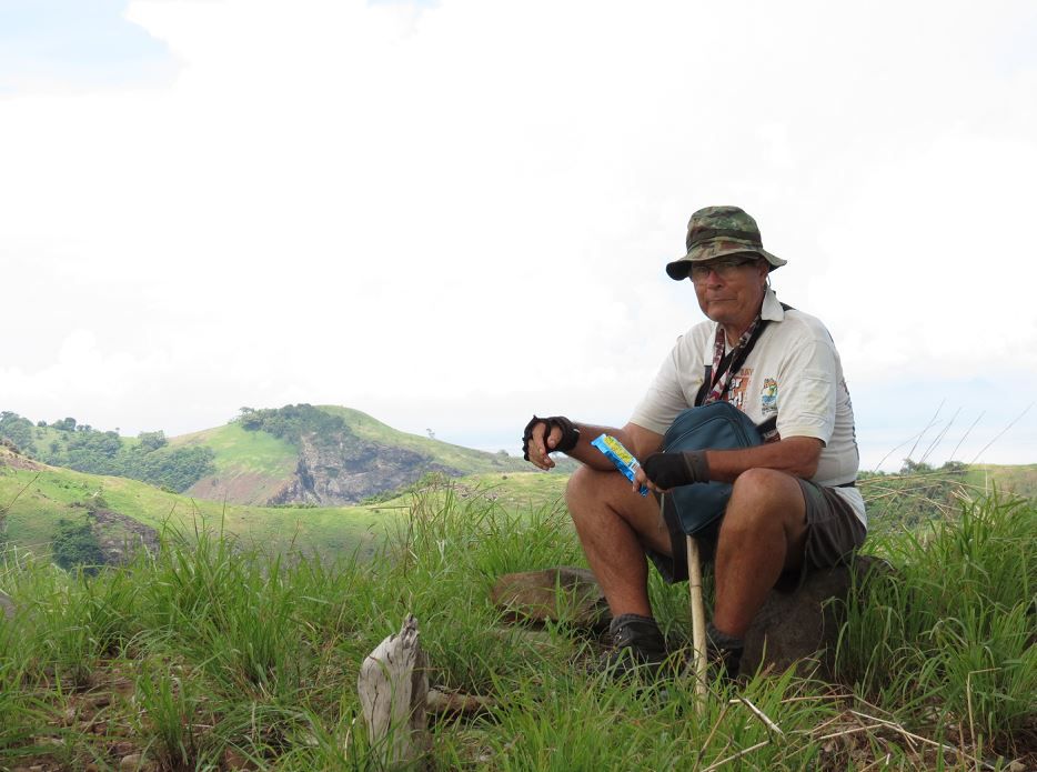 On the walk back, my friend Renan with his hat that has built in nape and face covering. I was almost out of water and had to bum some from everybody. I didn't eat much lunch at the tree because it would only require more water to wash down. Water was the key currency for this activity. I can't imagine how the guys on the death march survived with very little. 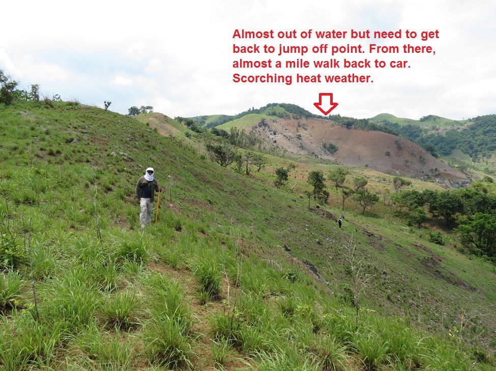 |
|