With friends we visited Longos Kawayan Point on the 9th July 2013. Vic Verano had returned to the Philippines and we teamed up, he brought a childhood school friend, now a doctor and a web friend from this bulletin board (Sherwino) made up the 4th team member.
Vic, his friend and I actually visited many other places and instead of starting a new thread I rather work in our experiences and stories of our visit into existing threads.
But I only made one (1) album about the whole visit with 100 pictures and the pictures of our Longos Kawayan Point are almost at the end of this album. The pictures are uploaded at high resolution but I don’t know whether you could download them at high resolutions if you wanted to:
s74.photobucket.com/user/PI-Sailor/library/X%20for%20HR%20Albums/Bataan%20HR%20images/Bataan%20w%20Victor%202013-07-08?sort=9&page=1Here are some sample images of this visit to Longos Kawayan Point.
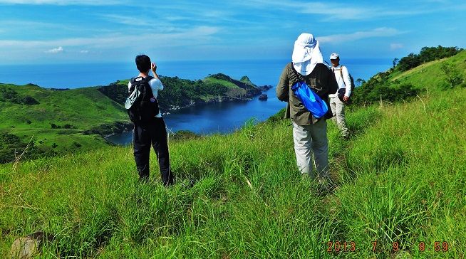
Z70. We parked just passed the Mariveles landfill, walked along the Mt. Mawakis to Mt. Pucot Dirt Road and entered a trail to the Naiklec Point Ridge. We just wanted to get a view of the Hornos Point and the bay/cove between the two points.
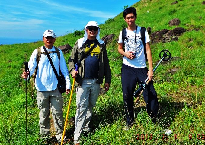
Z71. While on the trail to the Naiklec Point trail we took a group picture, from left to right-Vic, his Dr. friend and Sherwino.
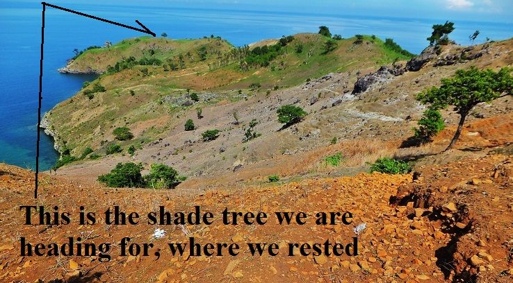
Z72. We continued on the Mt. Mawakis to Mt. Pucot and then entered the Longos Kawayan Point Ridge. It is private property now and Vic had tried to communicate with the owner. The maintenance family on the property was most accommodating and assisted us to enter.
The 1st section of the ridge is grazed by sheep and is bare, almost no grass; the last half has recently burned and was easy to walk on. Early this year Conrad Buehler and I had a hell of a darn time to get thru the Elephant grass then.
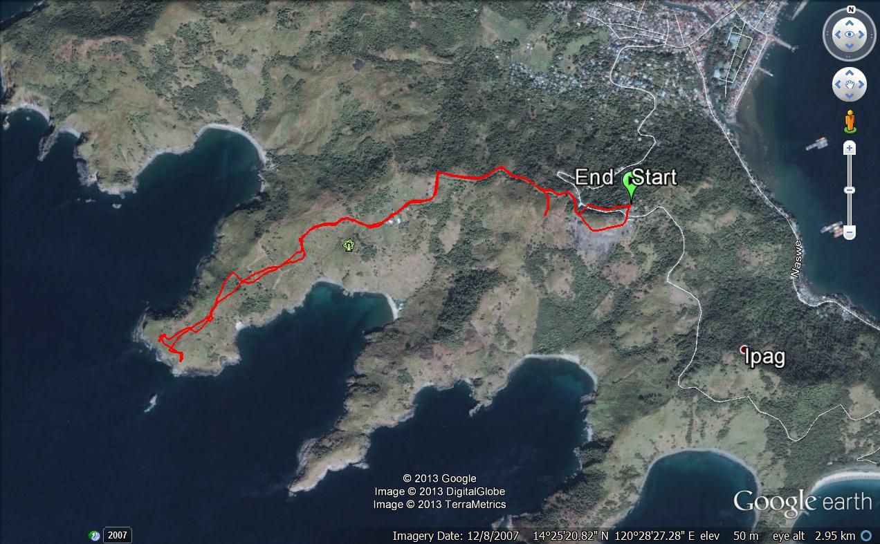
Z73. The actual GPS track of our walk onto the Longos Kawayan Point, I had a Garmin GPS devise.
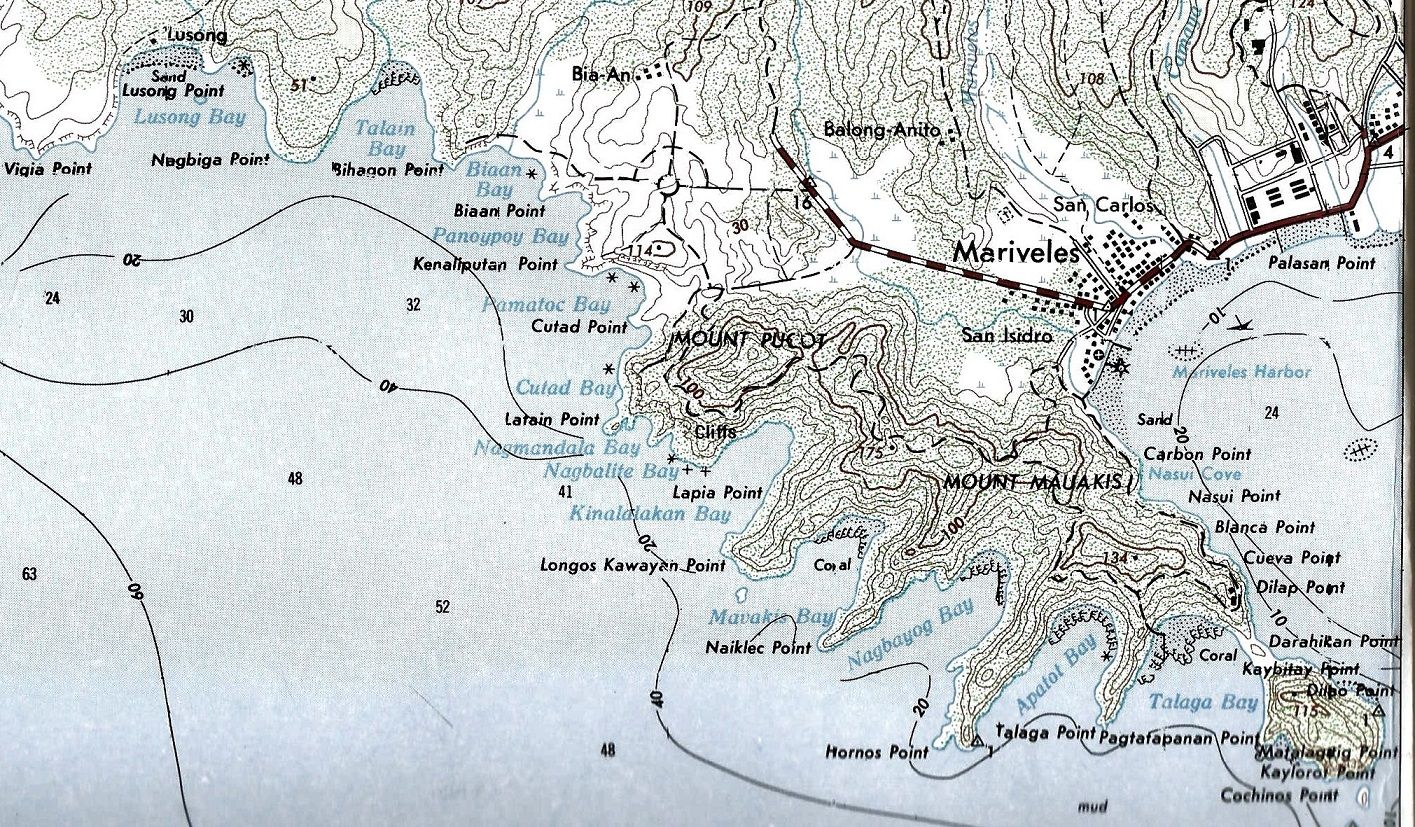
Z74. A section of a 1:50000 topographic map covering Mariveles and Longos Kawayan Point which refreshes our memory about the points, bays and mountain names.
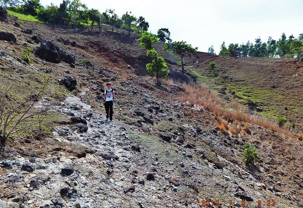
Z75. We are descending the south slopes of Longos Kawayan Point Ridge and there is no grass, the sheep got it all.
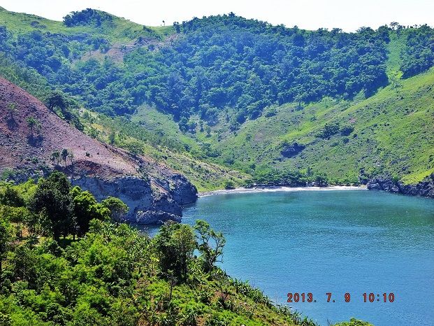
Z76. This is Mawakis Cove (local people say) or Mavakis Bay according to my map.
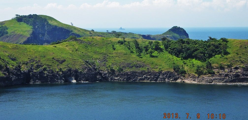
Z77. We are looking from Longos Kawayan Point Ridge, across Mawakis Cove and look over the Naiklec Point Ridge towards the Hornos Point Ridge. We even can see La Monja Island in the distance.
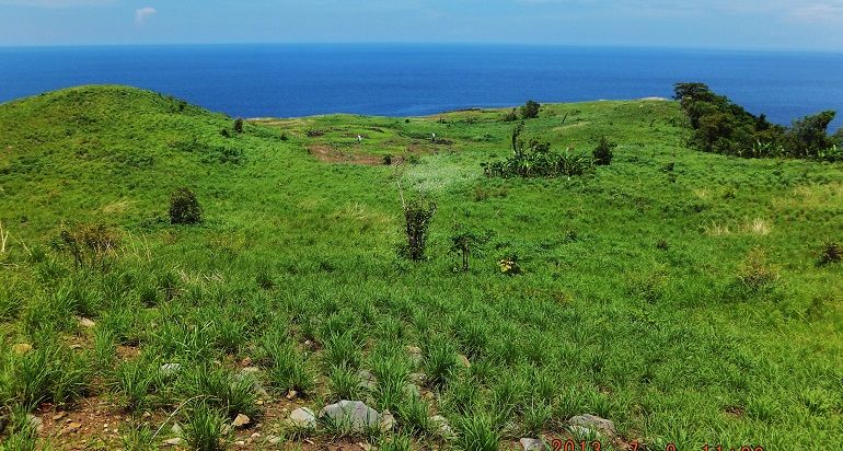
Z78. Looking down to the end of the Longos Kawayan Point Ridge from under our resting tree. Vic and Sherwino are busy searching in the distance.
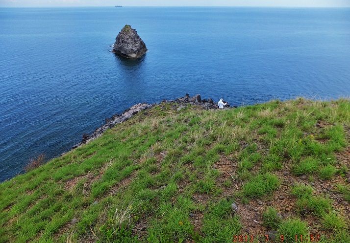
Z79. Victor Verano down at the very end of Longos Kawayan Point.
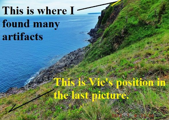
Z80. The cliff of Longos Kawayan Point at its west end.
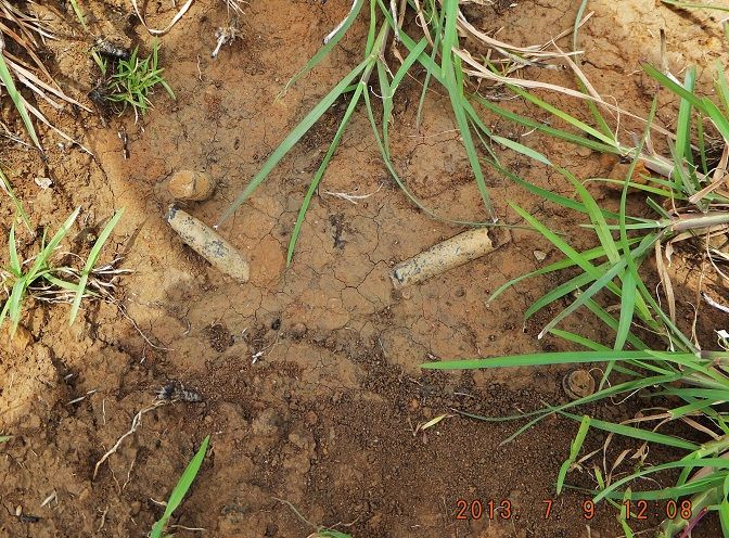
Z81. A good find where I indicated it on the last picture and there was more!
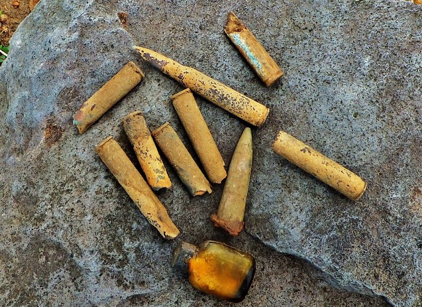
Z82. We all found artifacts but here are mine which were found mostly at the end of Longos Kawayan Point.
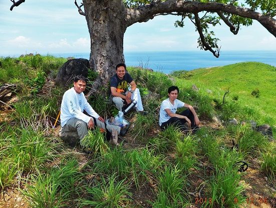
Z83. We are resting and eating snacks under the tree and contemplating what happened here on this ridge in 1942.
We got a good feel of the geography here where the US Naval rear forces held a Japanese invasion in check in 1942. Then the 57th Inf. Philippine Scouts cleared the whole ridge of the Japanese. Corregidor (Ft. Mills) helped with the big guns and the USS Canopus sailors built some mini battle ships (ship’s boats with weapons and jury-rigged armor plates) to cover the operation from the sea.
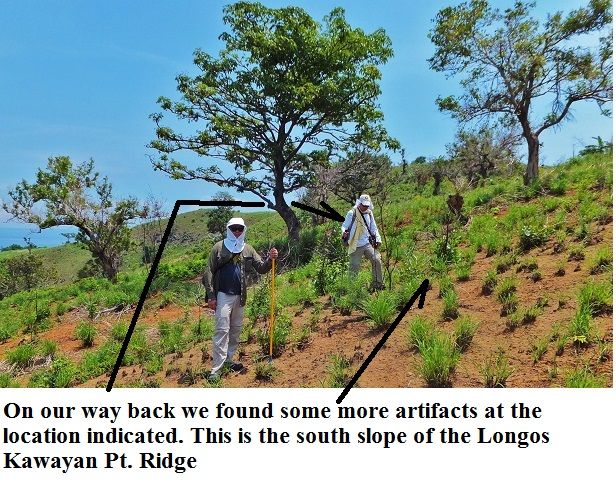
Z84. We are heading back and gave up ideas to do more. We were pooped. It was hot, it was a scorcher not like early this year with Conrad Buehler. But on the return march we found more artifacts.
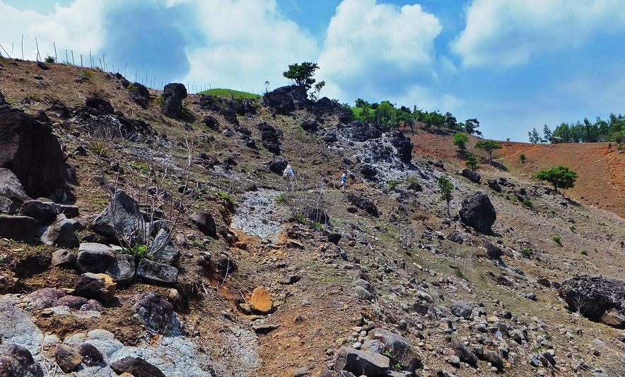
Z85. We are climbing back up and we are already in the sheep grazing area and there is no grass left or so it seems.
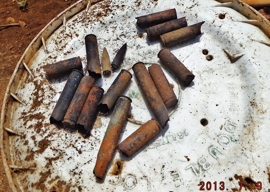
Z86 These are the artifacts I found on the way back, the others found more.