|
|
Post by sherwino on Jul 26, 2013 22:00:53 GMT 8
I found the large chunk of shrapnel south of .50 caliber tracer slug about where I was standing when you took that picture while you were following me. The smaller one was on the northwest. We had little time to cover a lot of areas. I believe there's more to be found even in the waters.
|
|
|
|
Post by chadhill on Jul 28, 2013 9:43:11 GMT 8
Great photos, victor! I found a clearer pic of the Japanese first aid kit. Here is a cropped, enlarged view of the medicine bottles in it:  I came across a small bit of information about the medicine bottle that Karl found near the edge of the cliff at the tip of the Point. The Japanese had a medical unit set up in that area. (photo courtesy Karl Welteke)  A few years ago the diary of Captain Hidaka of the 20th Infantry was discovered in the MacArthur archives. John Gordon, in his recent book "Fighting for MacArthur", quotes frequently from the diary in the chapter on Longoskawayan Point. On page 143 is this narrative for January 24th: ...Hidaka formed up most of his men, leaving the wounded under the care of the medical unit that was set up near the southwest tip of Longoskawayan Point. The medical officer, 1st Lieutenant Kamiyama, promised, "I shall take care of the patients and will share their fate with them. I will put all my men under your command."... |
|
|
|
Post by victor on Aug 1, 2013 0:27:48 GMT 8
Chadhill, thanks for the Longo tidbits from that book. That book is in my queue but now I may have to move it up a bit. I have many started-but-unfinished books in front of it…
I had a very pleasant chat with Capt. Nick Golla who was a platoon sergeant with E Company, 57th Infantry. They were the ones who fought there at Longoskawayan. He said his interest in it was rekindled after seeing the pictures I sent him. He was amazed at the relics we found. Some of the things he mentioned that I remember:
- During that time, the foliage and underbrush were extensive but the trees were not the big tall hardwood timber trees. There was an open grassy area at the base that they had to cross for the attack
- They worked their way down slowly Mt. Mauakis to get to their line of departure for the attack. (He seems to keep erroneously referring to Mt. Mauakis as Mt. Pucot)
- There was a trail on the south side that ran along the length of the point. He was almost killed when a Japanese machine gun covering the trail opened up on him as he was taking a look.
- The Japanese were very well camouflaged. They could never see them until they opened fire or were right on top of them.
- He kept on emphasizing how much help the Corregidor mortar batteries were to them.
- They would receive orders by runners to pull back to their line of departure to wait out the artillery barrages.
- After Longoskawayan, they fought in Anayasan-Silaiim points
Some other recollections
- Their regiment received PA replacements during the lull. His platoon received 6 men. They trained and integrated them to the unit and they worked well with the PS vets
- He recalls the choking clouds of dust along the road churned up by the trucks when they retreated from the Abucay line
- He was recruited to join the Scouts by the sergeant major of the 45th Infantry in 1937. He went to a high school in Pasig and played sports including basketball and track. The PS were always looking for athlete types to recruit.
- It was hard to get into the Scouts, there were rarely any vacancies. Men looking to get in put in their time and volunteer to do menial jobs and legwork at the base and be part of the PS community. They hoped that if a vacancy occurred, they would be known quantity to the NCO’s and might be the first candidates to get recruited.
- They did annual maneuvers in Bataan and did field problems there. So they were familiar with Bataan.
- The engineers had started and worked on the trail system.
- He contracted malaria in Bataan on his first maneuver in 1938. Even after postwar years he had bouts with it.
- Their company didn’t get into a fight after the battle of the points. They were on their way to the front when they received the surrender order.
- Their officer gathered them up and told them to go back to their barrios and melt away, but they were all wearing US Army uniforms so they couldn’t just yet.
- All Filipinos were mixed in together at the death march, so they were mixed in with the PA.
- He knew men from his unit who were able to escape the march
- When they got their pardon from the Japanese later in the year, his family picked him up from O'Donnell. They took him back to their hometown and nursed him back to health for a whole year. After that he joined the guerrillas.
MABATANG
- he asked me if I saw the cemetery at Mabatang when we passed through. I did but didn’t pay too much attention to it. He said that cemetery was there during their Abucay line counter-attack and they fought through it.
- The rice and sugarcane fields were fenced in with barbed wire which gave them a lot of headaches. They didn’t have wire cutters and had to use entrenching tools to dig under or break through the barbed wires.
- Men carried their e-tools on their belts for easy access rather than the textbook prescribed carry on the back of the haversack
|
|
|
|
Post by xray on Aug 1, 2013 12:10:06 GMT 8
Thanks for the pics guys, I like Okla always appreciate anything you have to offer concerning these historic tropical battlegrounds.
I imagine one can see the lay of the land much better now that the area is relatively deforested, must have been hellacious terrain to negotiate when it was primitive & pristine back in the day.
|
|
|
|
Post by Karl Welteke on Feb 26, 2019 19:14:34 GMT 8
Walk to Lague & Agloloma Bays fm. Bataan West Rd. 2019-02-20 On the 20th Feb. my family German Army friend and I drove to the Camaya Coast Development Gate on the Bataan West Road and parked there. The whole road from Mariveles to the Camaya Coast Gate is now concreted and is safe to drive. We walked down to the Lague Bay and then crossed over to Agloloma Bay. From there we returned to the Bataan West Road on the Quinauan Point ridge line. It was a little over 12 km with about 400+ meter elevation gain. Only short sections were well used trails, but mostly we could consider much of the way as dirt roads. I established this Facebook album with about 100 pictures: www.facebook.com/karlwilhelm.welteke/media_set?set=a.10215699548315420&type=3&uploaded=92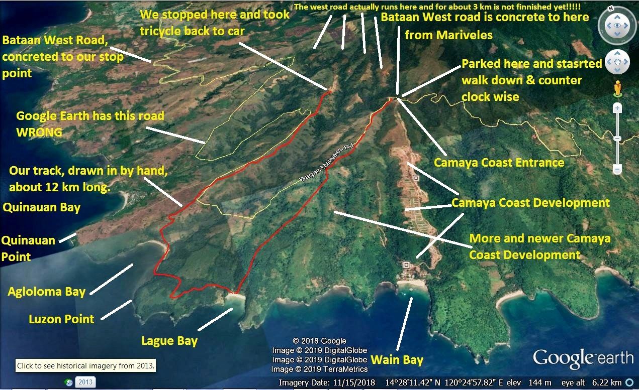 Z341. A Google earth images of the Bataan SW Coast area where we walked. 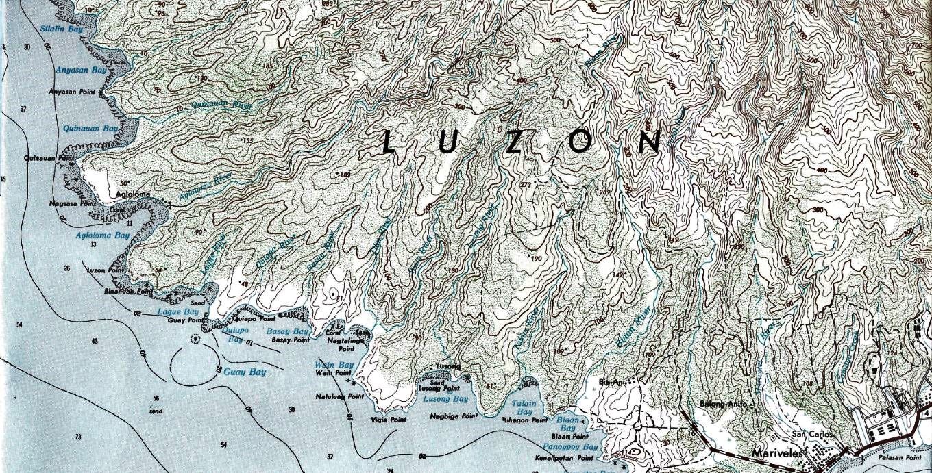 Z342. A map section of the Bataan SW Coast area where we walked. 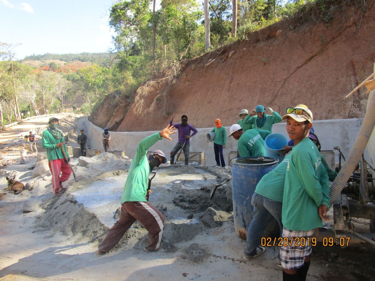 Z343. Only about 3 km of the Bataan West Road between Bagac and Mariveles are not finished yet, but they are working on it. The 3 km are between our start and stop points. 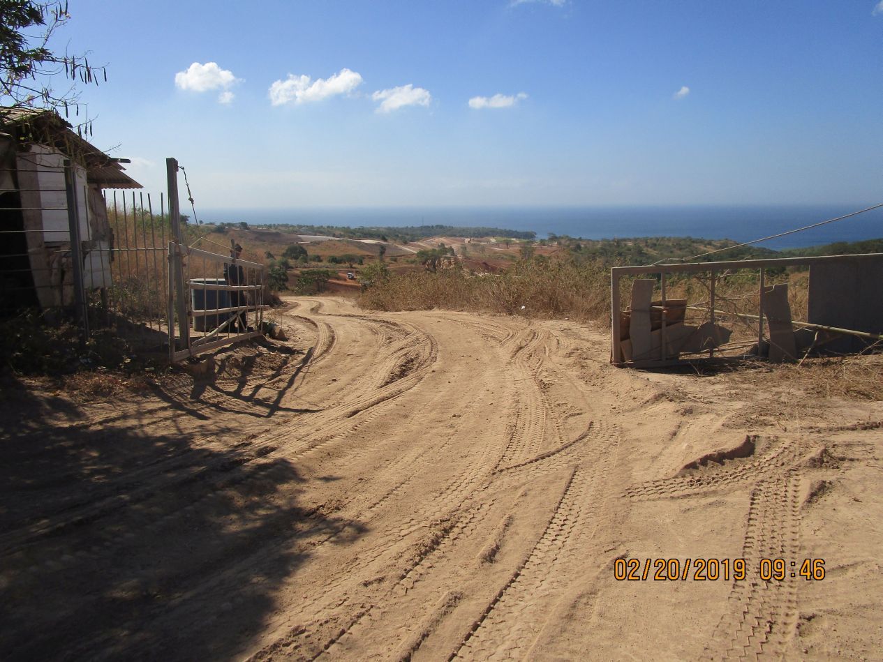 Z344. A picture of the walk from where we parked at the Camaya Coast Development Gate down to the Lague private Beach. A few motor bikes went passed us towards that beach. On our left Camaya Coast is spreading out further this way. 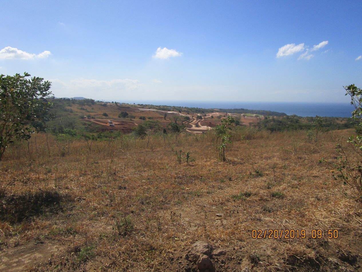 Z345. A picture of the walk from where we parked at the Camaya Coast Development Gate down to the Lague private Beach. A few motor bikes went passed us towards that beach. On our left Camaya Coast is spreading out further this way. 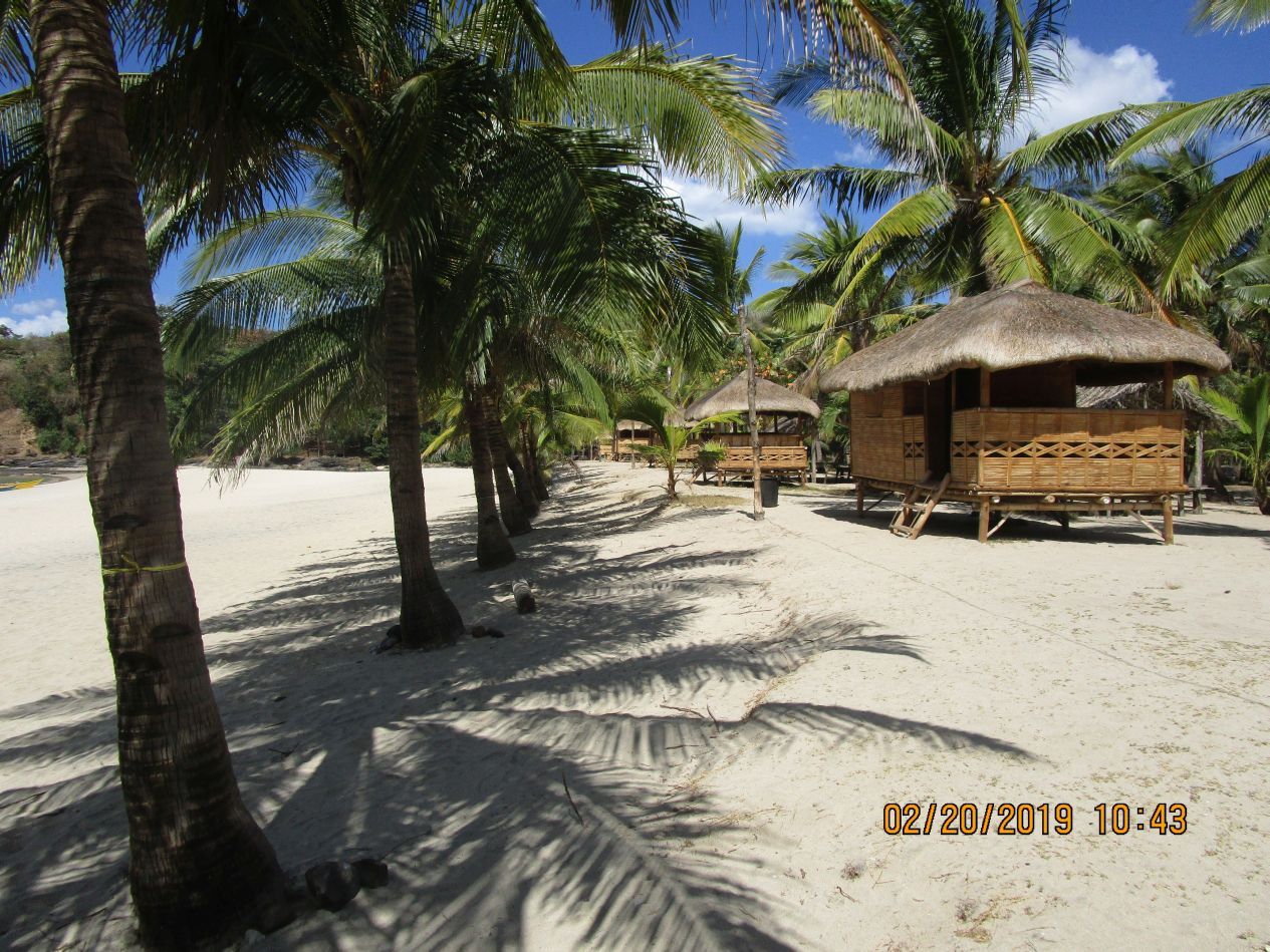 Z346. This is the Lague Private Beach; people do come here by boat or motor bike for recreation, Much more activity now than 10 years before. 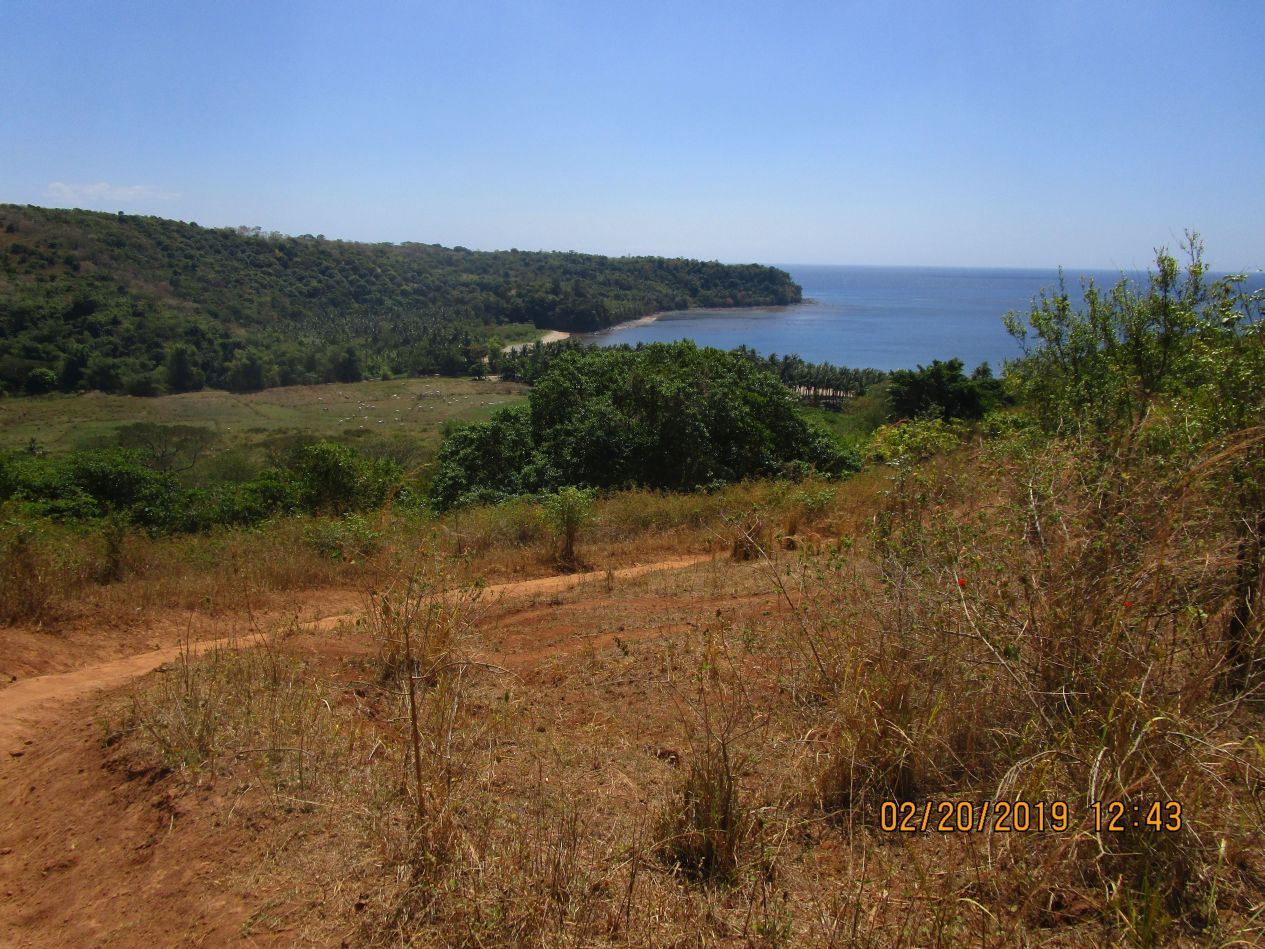 Z347. This is Agloloma Bay, there is a lot of activity there also but I failed to provide a picture here. In the distance is Luzon Point. Agloloma Bay at the Bataan SW Coast, it was part of the battle area of the Battle of the Points in 1942. 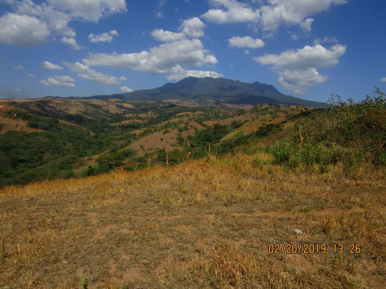 Z348. We are going up the Quinauan Point Ridge line, left is the Quinauan Valley; dead ahead is Mariveles Mountain. Quinauan is now spelled Quinawan. We wanted to go back on the same ridge where we came down but the villagers advised against that move so we returned to the Bataan West Road via or on the Quinauan Point Ridge; it had a good trail or dirt road. 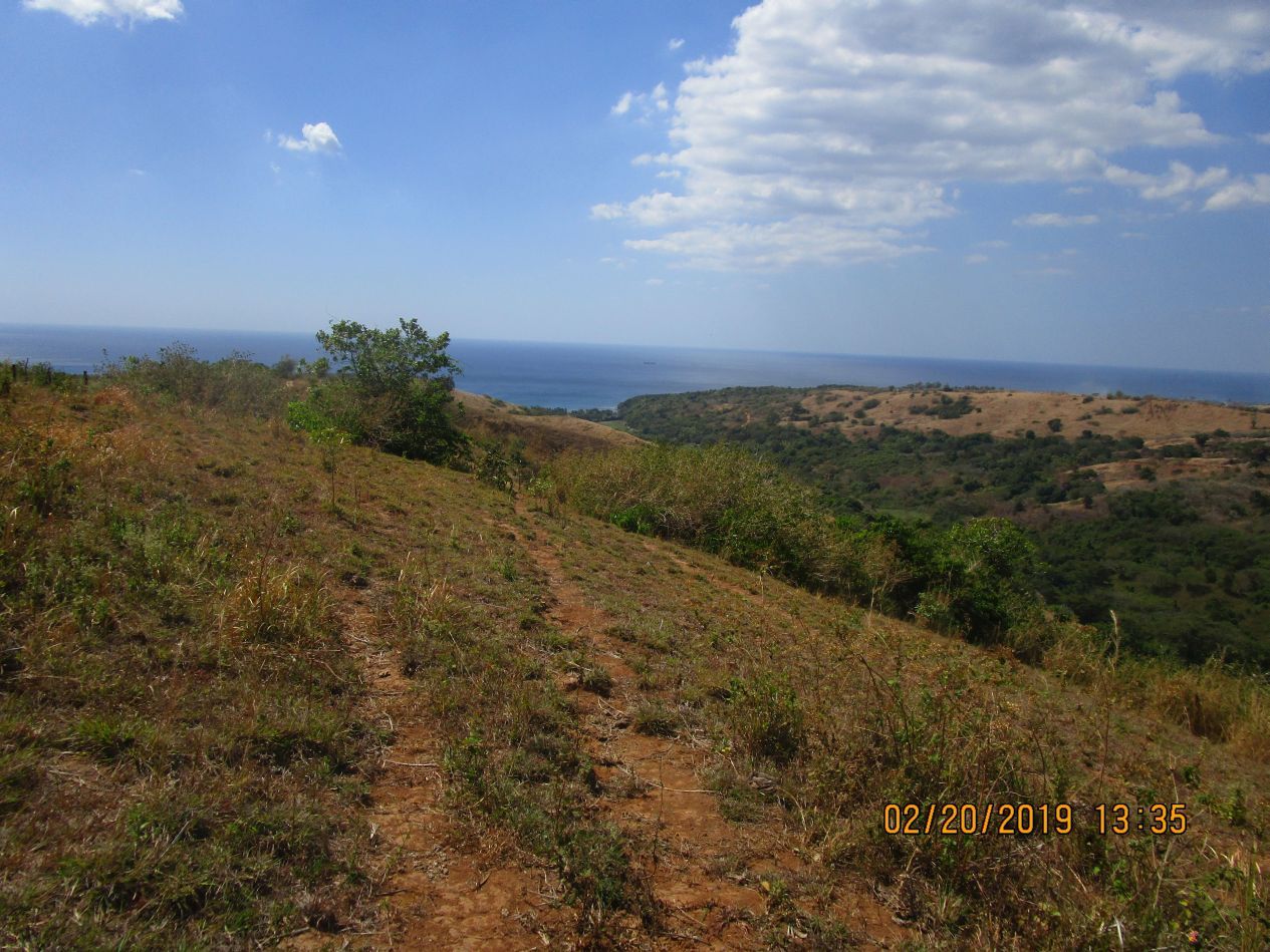 Z349. We are going up the Quinauan Point Ridge line, we are looking back and right is the left Quinauan Valley and Bay; In the middle of the picture is Anyasan Point. Quinauan is now spelled Quinawan. 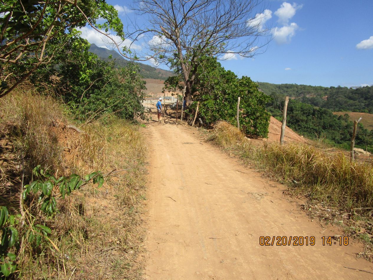 Z350. We have reached the Bataan West Road, it is completely concreted to here from Bagac. We are on the Quinauan Point Ridge line and the path, trail or dirt road has a gate to bar cattle from going out. 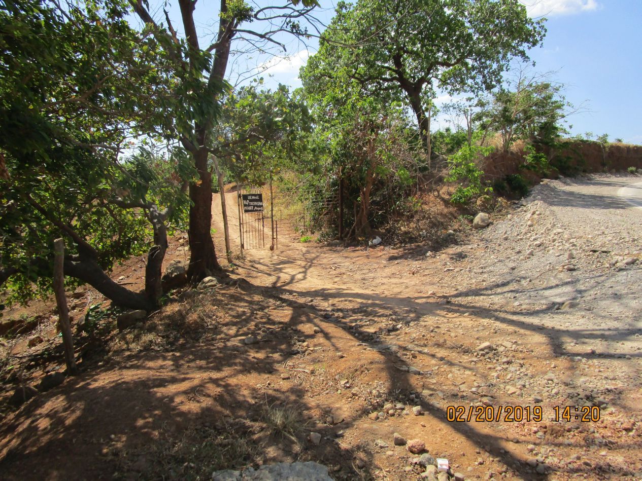 Z351. This is the gate to the Quinauan Point Ridge line and the path, trail or dirt road to Agloloma Bay. We were glad a tricycle came by and gave us a ride back to our parked car. |
|
|
|
Post by Karl Welteke on May 7, 2019 1:48:38 GMT 8
Agloloma Bay Walk, 2019-02-20 With my German family friend we parked at the Army camp across the Bataan West Road from the Camaya Coast Development and started our walk there. We ended up first at the private beach of Lague Bay. We crossed the Luzon Point Ridge to Agloloma Bay and walked back to the Bataan West Road. We walked 5 hours and I estimate we walked 16 Km and gained about 300m elevation. The Bataan West road is practically finished, only the last 2 km north of the Army camp are still being worked on. I established an album on Facebook with 44 images: www.facebook.com/karlwilhelm.welteke/media_set?set=a.10216142137659877&type=3Uploaded to Photobucket: s74.photobucket.com/user/PI-Sailor/library/Walk%20in%20the%20Philippines/No%202%20Walk%20PI%20Group/Bataan%20SW%20Coast/Agloloma%20Walk%202019-02-20?page=1In this forum presentation I used 21 of those images:  U018. (03) This is the Bataan West Road from Bagac to Mariveles and about the last 2 km north of the Army camp and the entrance to the Camaya Coat Development is still being worked on. The other 40 km between these two towns are finished as a two lane concrete road! We came from the north and had to pass this working area. These are the last 300 meter before the Army camp.  U019. (05) This is a Google Earth image of much of the WWII Battle of the Points area, the place where we walked. It is marked up for your orientation.  U020. (06) This is a Google Earth image of much of the WWII Battle of the Points area, the upper, inland section. This is the place where we walked. It is marked up for your orientation. Google not only got the roads wrong it is also behind times, this is a 2016 image. The Bataan West Road is practically finished now!  U021. (08) We are looking at the South China Sea and the valley in the middle of the picture is the Agloloma River Valley, we walk on the ridge line at left and return on the ridge line at right.  U022. (11) Left we see the road development of the Camay Coast Development on the Basay Point Ridge which will lead into the Wain Bay which is the main part of Camay Development. The valley at left will either drain into one of these 3 bays: Lague,-Quiapo or Basay Bays, I bet on the Basay Bay.  U023. (20) This is not the main Camaya main development, this is where the organization is expanding onto ridges and plateaus north of their main development. They can reach this development both from this ridge and from their main development area.  U024. (22) We are still marching down the Luzon Point Ridge between Agloloma Bay and Lague Bay, I was hoping it takes down to the Agloloma Bay (at right) but it took us to the Lague Bay. There were no trails down to the Agloloma River Valley from our road on this ridge.  U025. (24) We have reached Lague Bay Beach, I guess it is open for business. There were people to talk to. I have been here maybe 5 times before and now there is more activity!  U026. (27) We are at Lague Bay Beach and in back is Binanuan Point.  U027. (32) We are at Lague Bay Beach it is a lovely private beach, we talked to the people there whether there is a trail to Agloloma Bay and they confirmed it. We are leaving Lague Bay Beach and had to cross a small bridge over the Lague River.  U028. (34) We are starting the crossing of the Luzon Point Ridge Line to Agloloma Bay. It was not a clear trail and we did some zig zagging and made it across in about 50 minutes.  U029. (36) We arrived on Agloloma Bay Beach, the trail brought us down about a 100 meter back towards Luzon Point.  U030. (39) We are looking at the Agloloma Bay, in back is the infamous Quinauan Point Ridge Line of the Battle of the Points.  U031. (40) We are at the Agloloma Beach and we got to cross that Agloloma River ahead of us.  U032. (54) A now, on most Bataan ridges, the forests are gone and cattle is being raised here. This is Agloloma and in back is the Luzon Point Ridge Line where we came down. The Natives told us there is no trail going up there from here and advised us to go up the Quinauan Ridge Line.  U033. (62) This is a look back to Agloloma Bay, in the distance is Luzon Point. We had come across that ridge line from Lague Bay and had come down near the Luzon Point. We did not want to go back that route.  U034. (69) We are marching up the Quinauan Point Ridge left is the Quinauan River Valley  U035. (71) This is a look back at the Quinauan Bay with the Anyasan Point from the Quinauan Point Ridge.  U036. (73a) this is a close-up of the last picture. We are looking across the Quinauan River Valley towards the Anyasan Point Ridge Line and see the now concreted Bataan West Road coming down into the Quinauan River Valley.  U037. (77) We are marching up the Quinauan Point Ridge towards the Bataan West Road. Mount Mariveles is in back and the sun was burning down on our heads. It was maybe also about a 5 km stretch.  U038. (81) We reached the end of the road; if you look close you can see the concreted Bataan West Road. It is now 1418 Hours and we started at 0918, 5 hours in this heat, not bad for 76 and 78 old men, I estimate we walked 16 Km and gained about 300m elevation. Merciful a tricycle came by and took us for a small fee, thanks. |
|
|
|
Post by Karl Welteke on Feb 11, 2021 11:51:04 GMT 8
Longos Kawayan Point Views 2021-01-15 Longos Kawayan Point is famous because it is a WWII Battlefield; the combined forces of Gen MacArthur defeated the enemy here, they wiped them out, because the Japanese don’t surrender. It is relative easy to walk or drive onto the road on Mount Mauakis and view this and other points. I used the road to the nearby, now closed landfill, parked and walked along the road on Mount Mauakis and enjoyed these views. 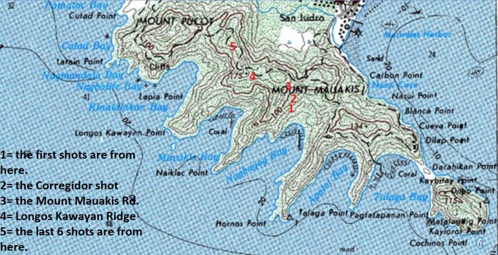 Zd938. A map with the famous Battle of the Point Longos Kawayan Point and the other nearby bay, ridges on Mount Mauakis. It also tells where the pictures were shot from. 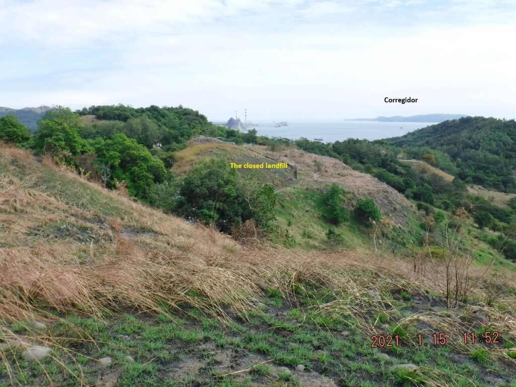 Zd939. This is one of 5 images shot from location No.1, me, standing up on the Naiklec Ridge; the pictures were shot from left to right. 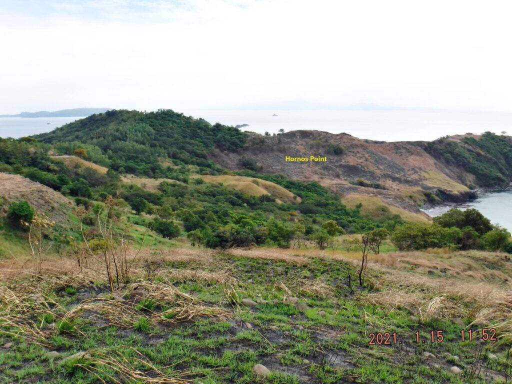 Zd940. This is one of 5 images shot from location No.1, me, standing up on the Naiklec Ridge; the pictures were shot from left to right. 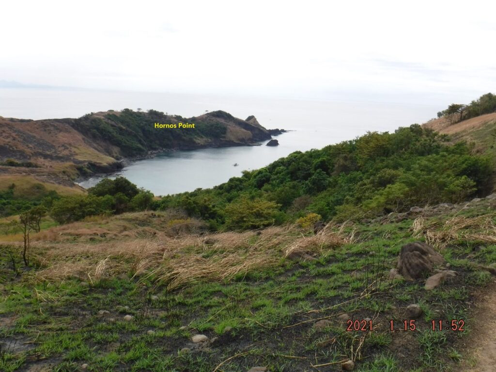 Zd941. This is one of 5 images shot from location No.1, me, standing up on the Naiklec Ridge; the pictures were shot from left to right. 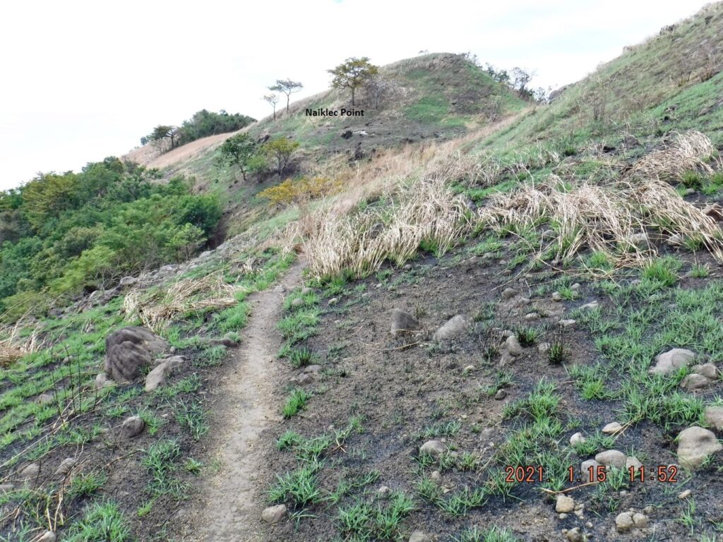 Zd942. This is one of 5 images shot from location No.1, me, standing up on the Naiklec Ridge; the pictures were shot from left to right. 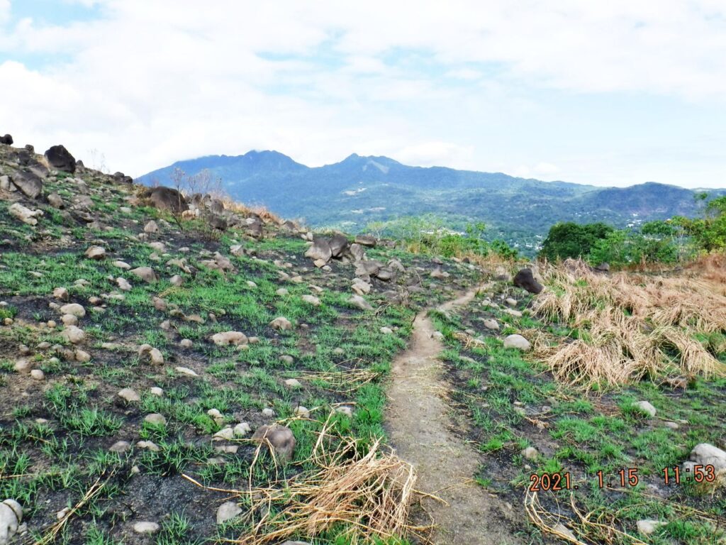 Zd943. This is one of 5 images shot from location No.1, me, standing up on the Naiklec Ridge; the pictures were shot from left to right. 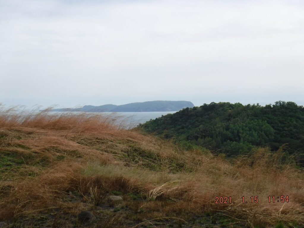 Zd944. This is a parting shot of Corregidor from location No2. 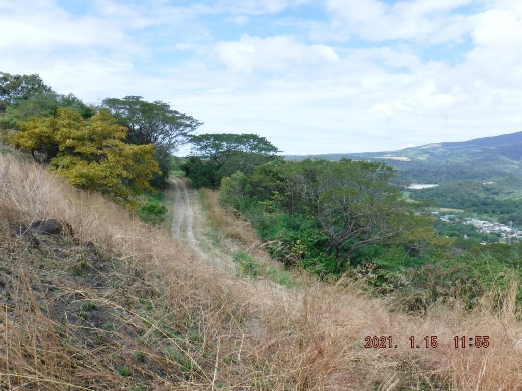 Zd945. This is a shot of the Mount Mauakis road from location No. 3. 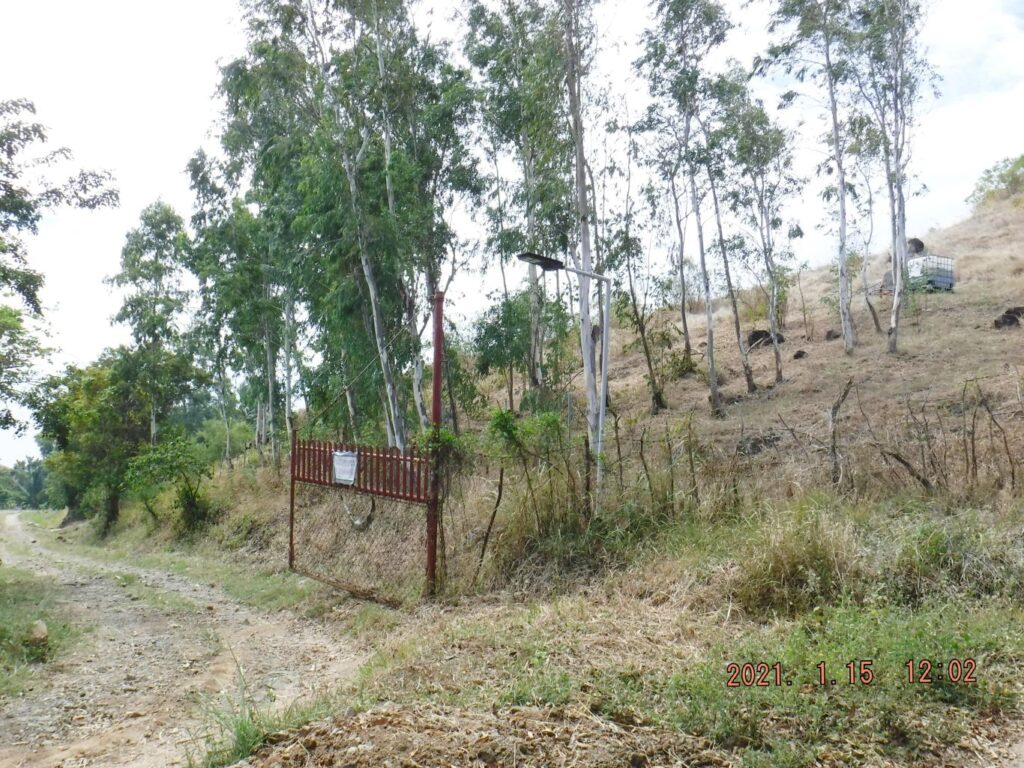 Zd946. In this shot from location No. 4; I’m looking back and I just passed the private entrance to Longos Kawayan Point, which is the best way to go to that point. 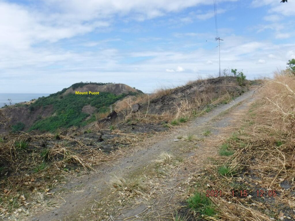 Zd947. In this shot I’m approaching location spot No. 5. 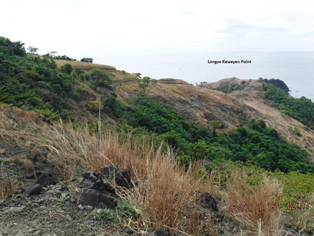 Zd948. This is one of 5 shots, shot left to right, from Longos Kawayan Point, across Kinalalakan Bay, to Lapia Point and then to Mount Pucot. 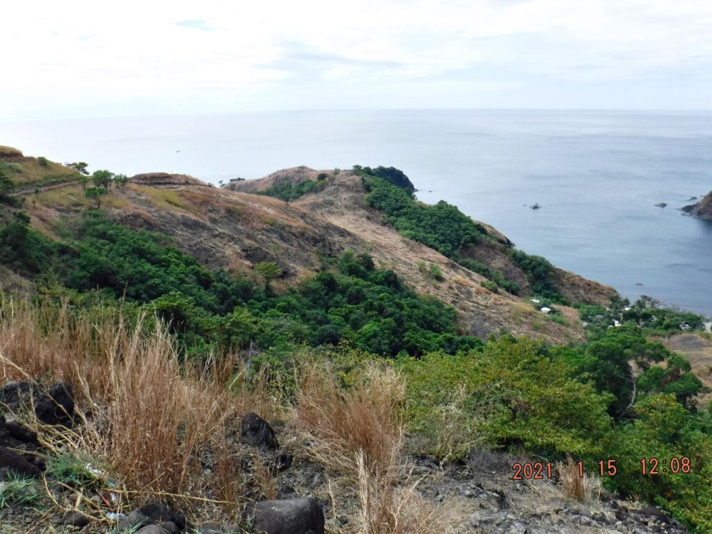 Zd949. This is one of 5 shots, shot left to right, from Longos Kawayan Point, across Kinalalakan Bay, to Lapia Point and then to Mount Pucot. 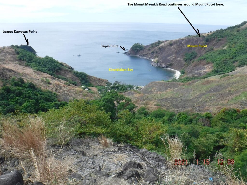 Zd950. This is one of 5 shots, shot left to right, from Longos Kawayan Point, across Kinalalakan Bay, to Lapia Point and then to Mount Pucot. 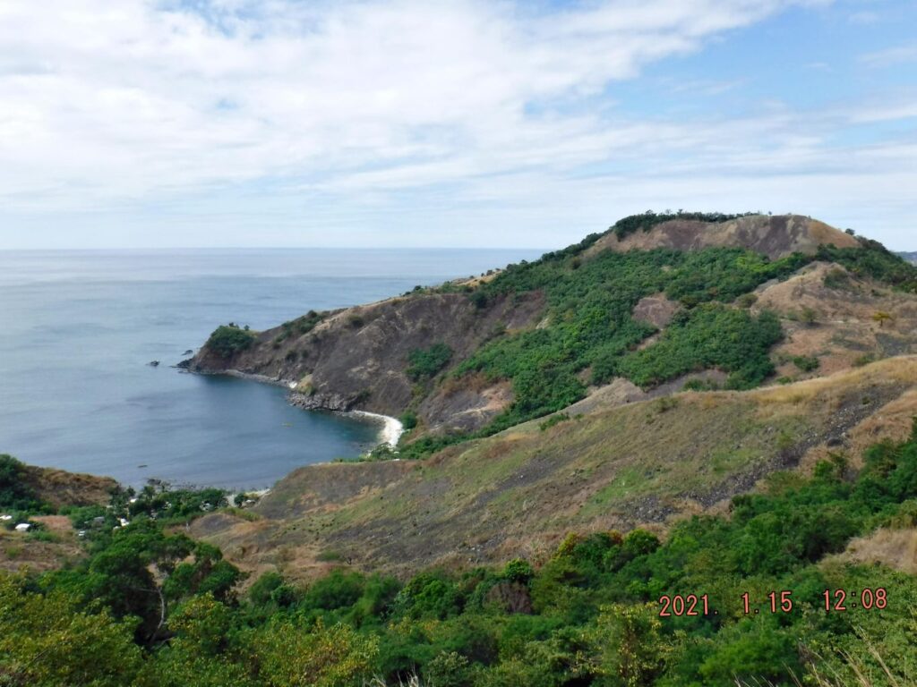 Zd951. This is one of 5 shots, shot left to right, from Longos Kawayan Point, across Kinalalakan Bay, to Lapia Point and then to Mount Pucot. 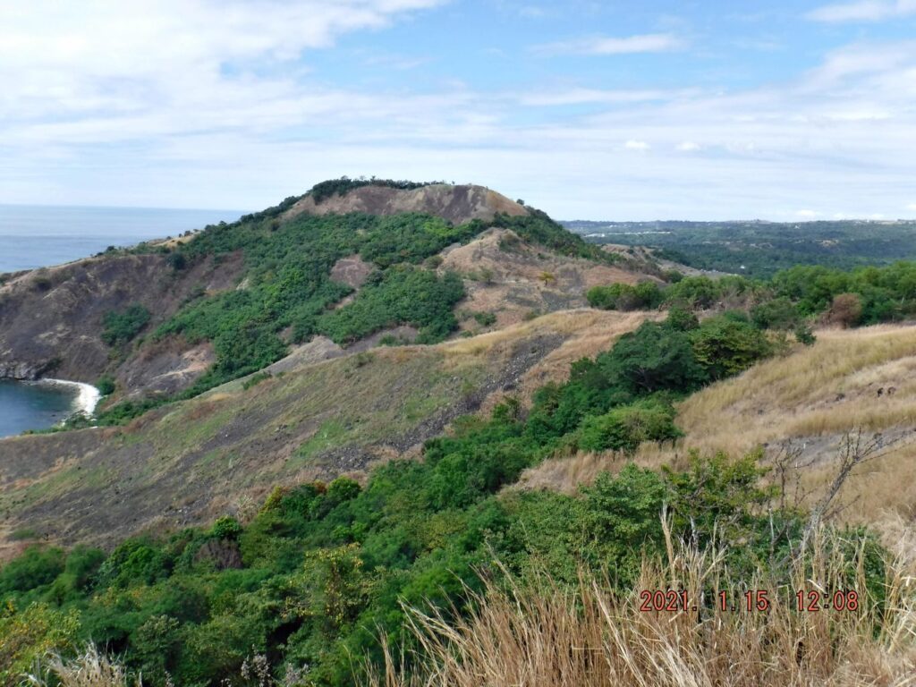 Zd952. This is one of 5 shots, shot left to right, from Longos Kawayan Point, across Kinalalakan Bay, to Lapia Point and then to Mount Pucot. I actually made one album with all the venues of this trip into this album, but it is a long one: philippine-sailor.net/2021/01/19/bataan-trip-21-01-15/ |
|
|
|
Post by Karl Welteke on Feb 13, 2021 17:14:05 GMT 8
Bataan West Road, Battle of the Points My Bataan reconnaissance drive 2021-01-15 This is the last segment; it is about the Bataan West Road. It is about 43 km from Mariveles to Bagac and the road is now 99% finished with concrete and at least 2 lanes and solid bridges and the slopes are mostly stable. Only at very few places does the road have trouble with the road banks, up slope or down slope. It is safe to drive, very scenic and hardly any traffic, although many curves! 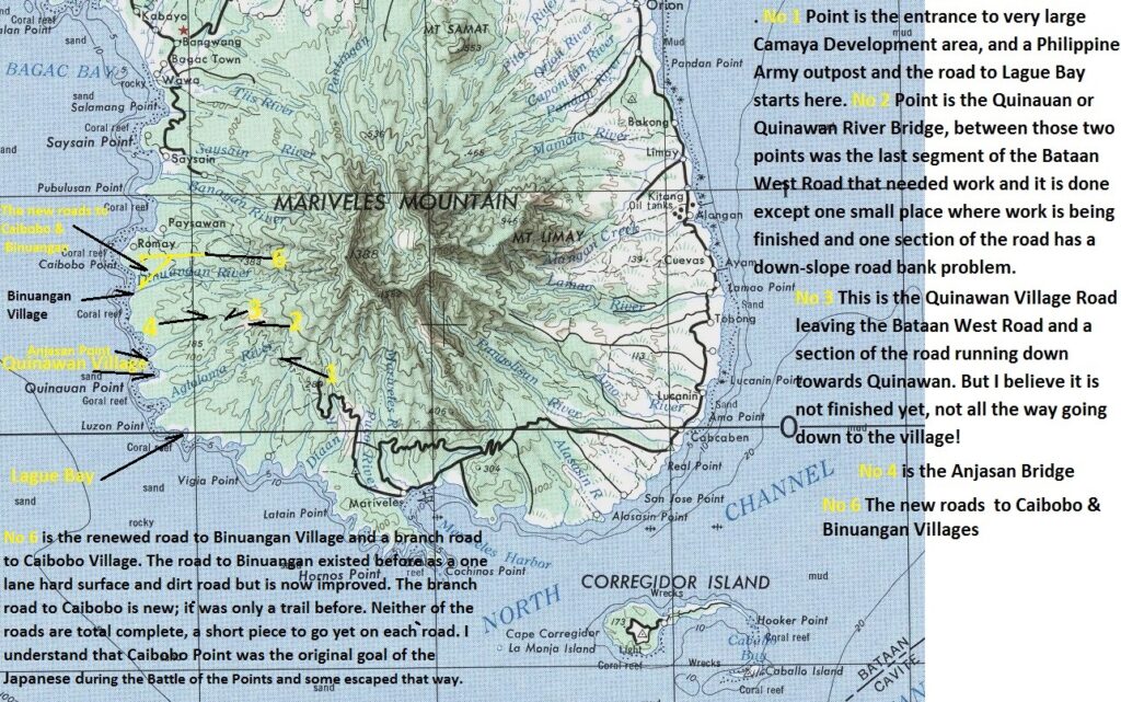 Zd953. This is a cropped section of a prewar US Army 1: 250000 map of the Manila area but it has all of Bataan and the Bataan West Road. The northern part of Bataan is cropped away! I marked up for your morientation. 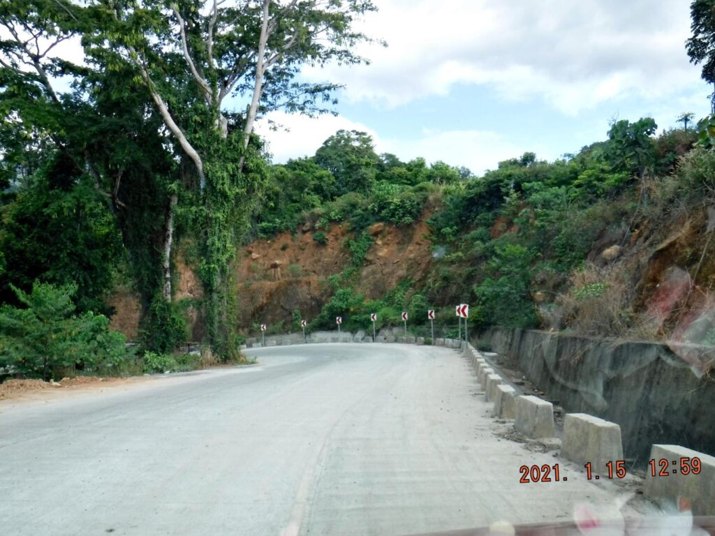 Zd954. This is one of 10 images of the Bataan West Road between point No1 and point No 2 on the map of image No. Zd953. No 1 Point is the entrance to very large Camaya Development area, and a Philippine Army outpost and the road to Lague Bay starts here. No 2 Point is the Quinauan or Quinawan River Bridge, between those two points was the last segment of the Bataan West Road that needed work and it is done except one small place where work is being finished and one section of the road has a down-slope road bank problem. Now it is a nice scenic cruising road! 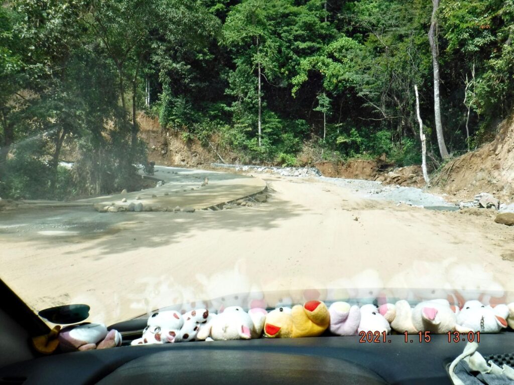 Zd955. This is one of 10 images of the Bataan West Road between point No1 and point No 2 on the map of image No. Zd953. No 1 Point is the entrance to very large Camaya Development area, and a Philippine Army outpost and the road to Lague Bay starts here. No 2 Point is the Quinauan or Quinawan River Bridge, between those two points was the last segment of the Bataan West Road that needed work and it is done except one small place where work is being finished and one section of the road has a down-slope road bank problem. Now it is a nice scenic cruising road! 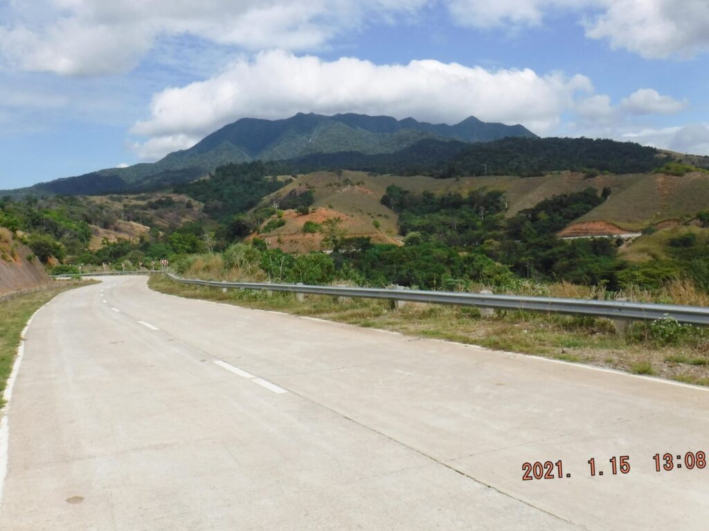 Zd956. This is one of 10 images of the Bataan West Road between point No1 and point No 2 on the map of image No. Zd953. No 1 Point is the entrance to very large Camaya Development area, and a Philippine Army outpost and the road to Lague Bay starts here. No 2 Point is the Quinauan or Quinawan River Bridge, between those two points was the last segment of the Bataan West Road that needed work and it is done except one small place where work is being finished and one section of the road has a down-slope road bank problem. Now it is a nice scenic cruising road! 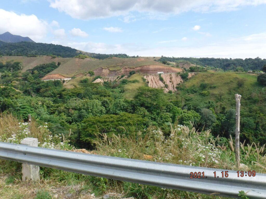 Zd957. This is one of 10 images of the Bataan West Road between point No1 and point No 2 on the map of image No. Zd953. No 1 Point is the entrance to very large Camaya Development area, and a Philippine Army outpost and the road to Lague Bay starts here. No 2 Point is the Quinauan or Quinawan River Bridge, between those two points was the last segment of the Bataan West Road that needed work and it is done except one small place where work is being finished and one section of the road has a down-slope road bank problem. Now it is a nice scenic cruising road! 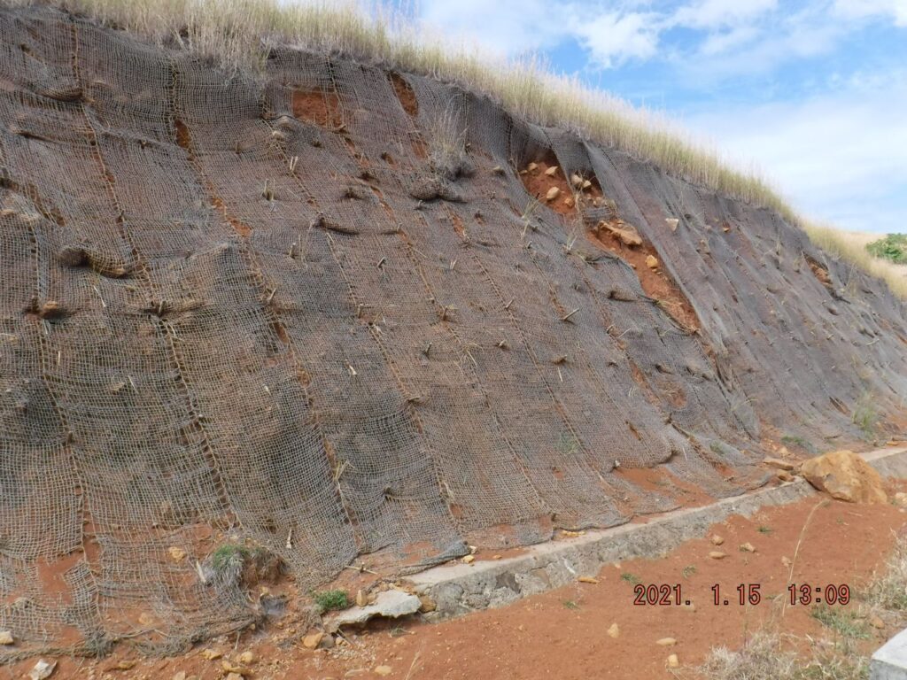 Zd958. This is one of 10 images of the Bataan West Road between point No1 and point No 2 on the map of image No. Zd953. No 1 Point is the entrance to very large Camaya Development area, and a Philippine Army outpost and the road to Lague Bay starts here. No 2 Point is the Quinauan or Quinawan River Bridge, between those two points was the last segment of the Bataan West Road that needed work and it is done except one small place where work is being finished and one section of the road has a down-slope road bank problem. Now it is a nice scenic cruising road! 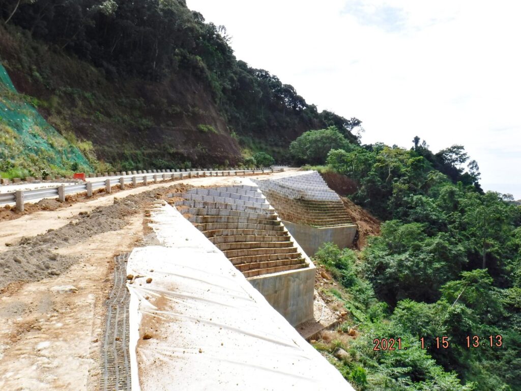 Zd959. This is one of 10 images of the Bataan West Road between point No1 and point No 2 on the map of image No. Zd953. No 1 Point is the entrance to very large Camaya Development area, and a Philippine Army outpost and the road to Lague Bay starts here. No 2 Point is the Quinauan or Quinawan River Bridge, between those two points was the last segment of the Bataan West Road that needed work and it is done except one small place where work is being finished and one section of the road has a down-slope road bank problem. Now it is a nice scenic cruising road! 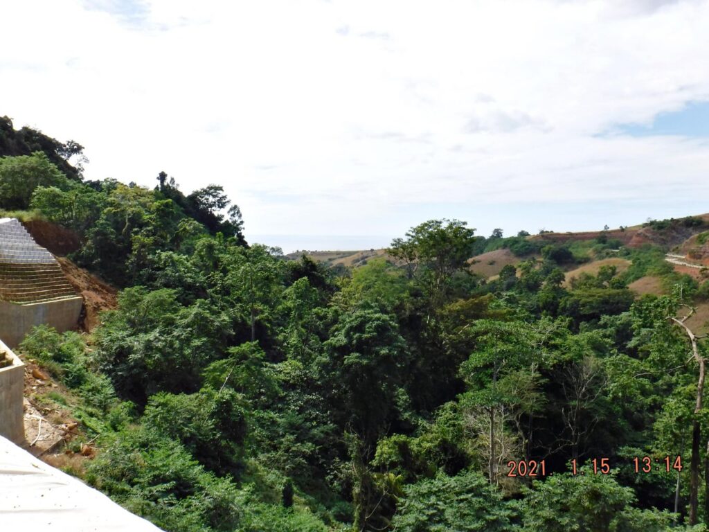 Zd960. This is one of 10 images of the Bataan West Road between point No1 and point No 2 on the map of image No. Zd953. No 1 Point is the entrance to very large Camaya Development area, and a Philippine Army outpost and the road to Lague Bay starts here. No 2 Point is the Quinauan or Quinawan River Bridge, between those two points was the last segment of the Bataan West Road that needed work and it is done except one small place where work is being finished and one section of the road has a down-slope road bank problem. Now it is a nice scenic cruising road! 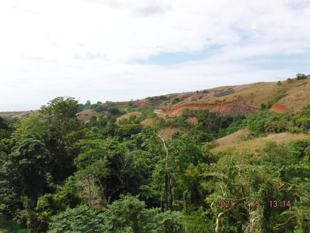 Zd961. This is one of 10 images of the Bataan West Road between point No1 and point No 2 on the map of image No. Zd953. No 1 Point is the entrance to very large Camaya Development area, and a Philippine Army outpost and the road to Lague Bay starts here. No 2 Point is the Quinauan or Quinawan River Bridge, between those two points was the last segment of the Bataan West Road that needed work and it is done except one small place where work is being finished and one section of the road has a down-slope road bank problem. Now it is a nice scenic cruising road! 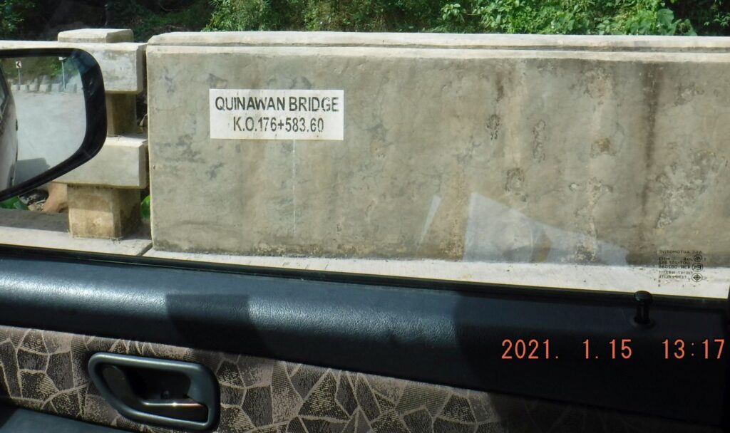 Zd962. This is one of 10 images of the Bataan West Road between point No1 and point No 2 on the map of image No. Zd953. No 1 Point is the entrance to very large Camaya Development area, and a Philippine Army outpost and the road to Lague Bay starts here. No 2 Point is the Quinauan or Quinawan River Bridge, between those two points was the last segment of the Bataan West Road that needed work and it is done except one small place where work is being finished and one section of the road has a down-slope road bank problem. Now it is a nice scenic cruising road! 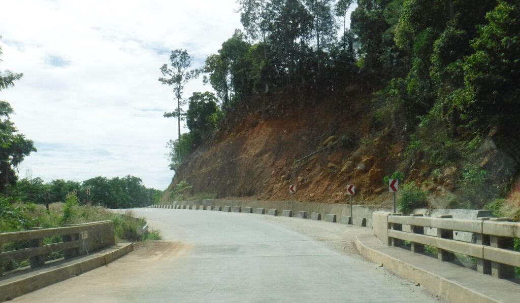 Zd963. This is one of 10 images of the Bataan West Road between point No1 and point No 2 on the map of image No. Zd953. No 1 Point is the entrance to very large Camaya Development area, and a Philippine Army outpost and the road to Lague Bay starts here. No 2 Point is the Quinauan or Quinawan River Bridge, between those two points was the last segment of the Bataan West Road that needed work and it is done except one small place where work is being finished and one section of the road has a down-slope road bank problem. Now it is a nice scenic cruising road! 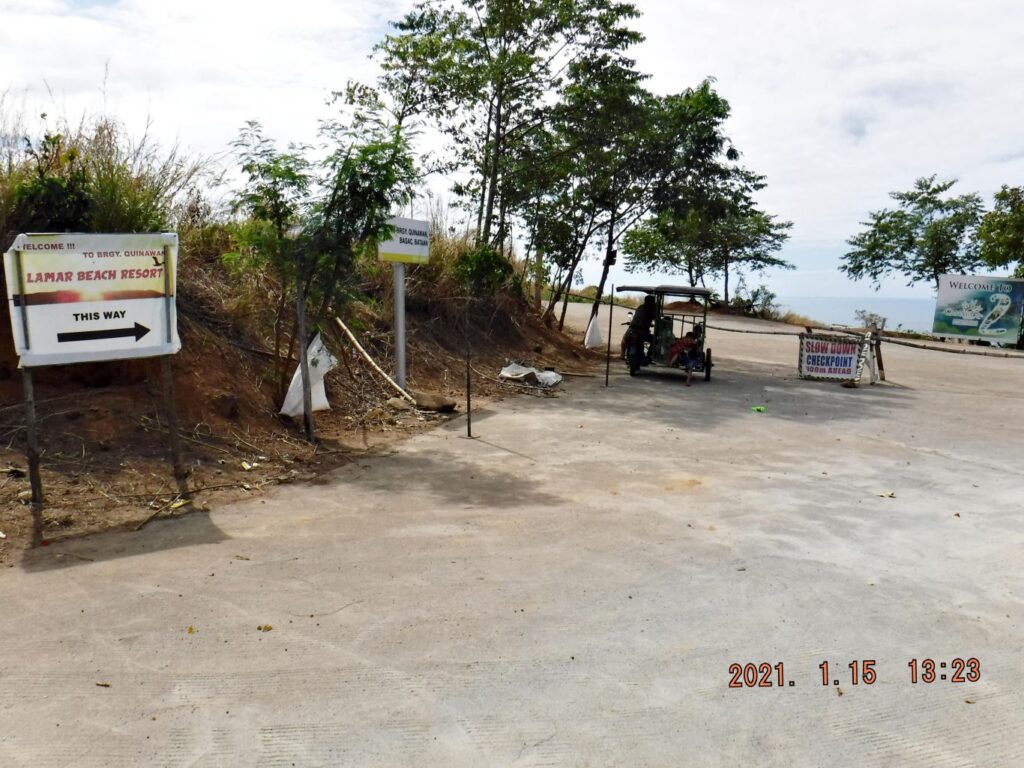 Zd964. This is one of three images of the Quinawan Village Road leaving the Bataan West Road and a section of the road running down towards Quinawan. But I believe it is not finished yet, not all the way going down to the village! 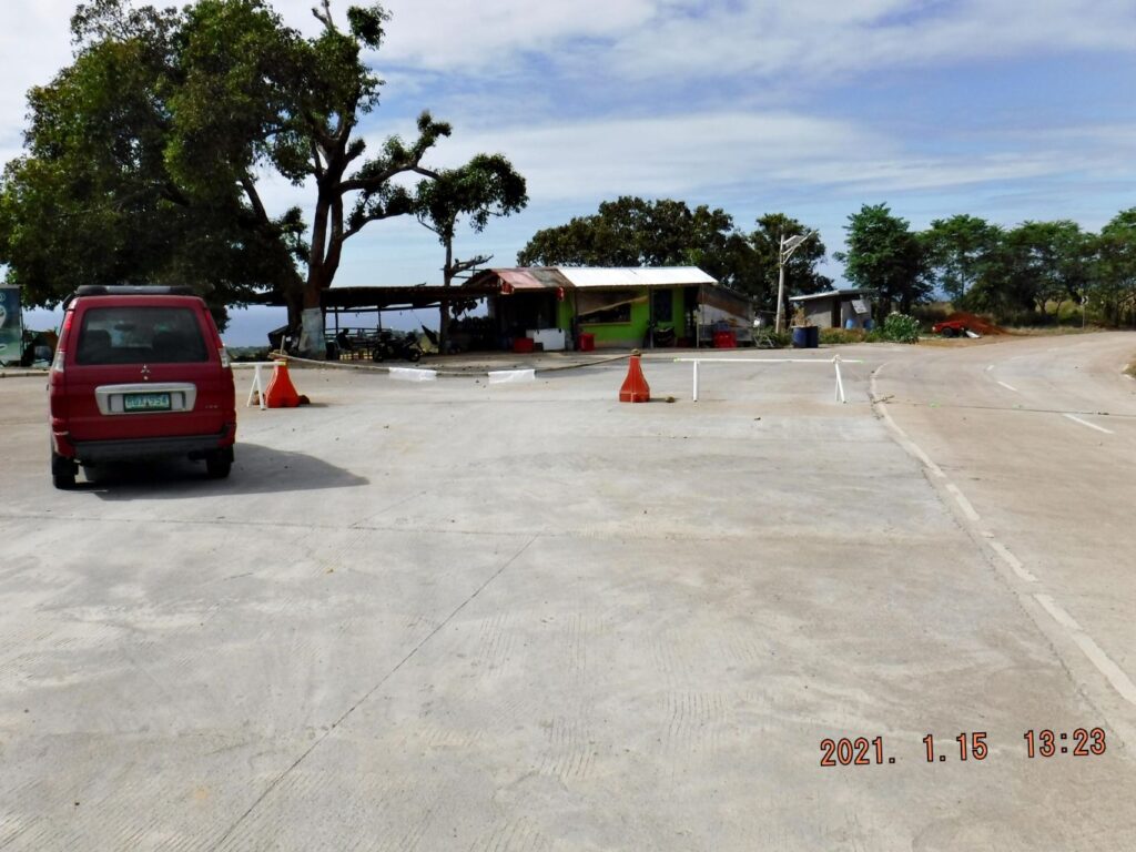 Zd965. This is one of three images of the Quinawan Village Road leaving the Bataan West Road and a section of the road running down towards Quinawan. But I believe it is not finished yet, not all the way going down to the village! 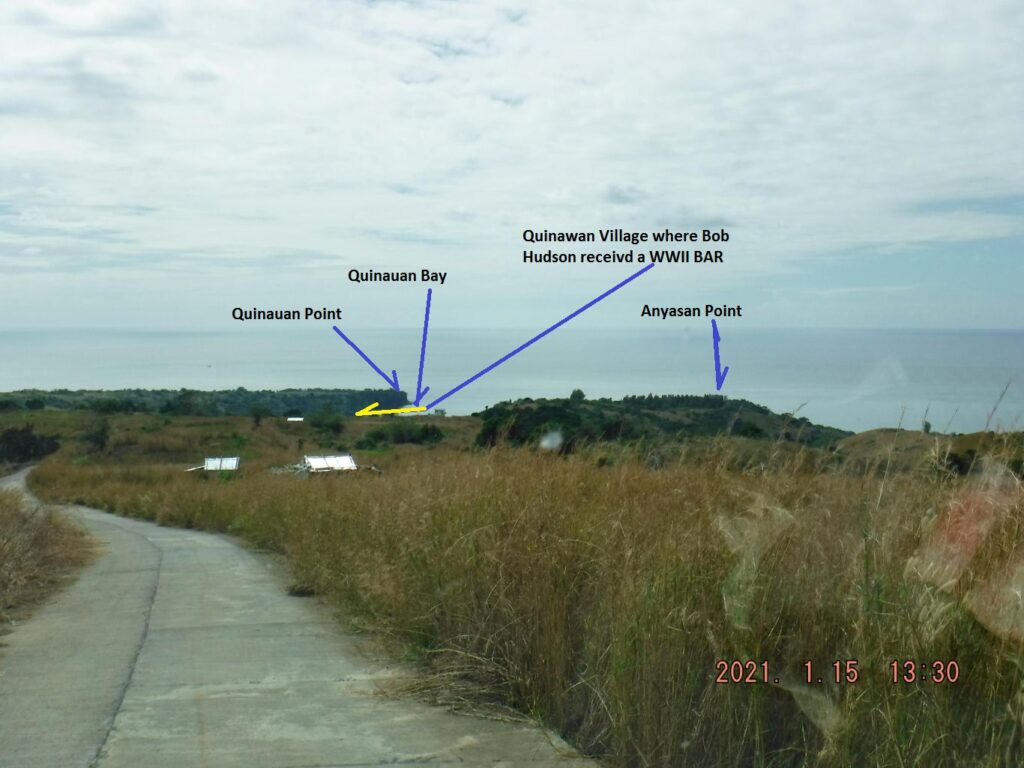 Zd966. This is one of three images of the Quinawan Village Road leaving the Bataan West Road and a section of the road running down towards Quinawan. But I believe it is not finished yet, not all the way going down to the village! These are the main points of the Battle of the Points! 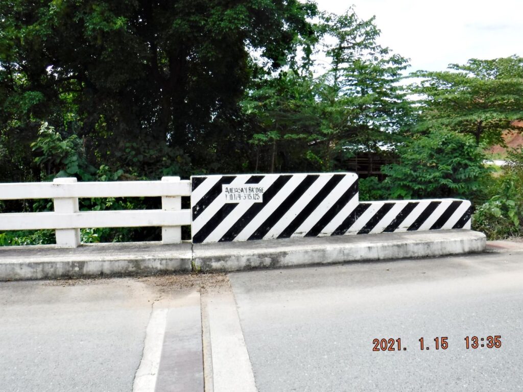 Zd967. This is the Anjasan River Bridge. 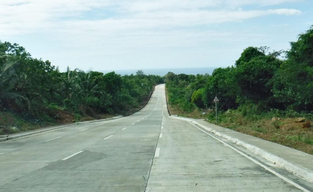 Zd968. This is one of three images of the renewed road to Binuangan Village and a branch road to Caibobo Village. The road to Binuangan existed before as a one lane hard surface and dirt road but is now improved. The branch road to Caibobo is new; it was only a trail before. Neither of the roads are total complete, a short piece to go yet on each road. I understand that Caibobo Point was the original goal of the Japanese during the Battle of the Points and some escaped that way. 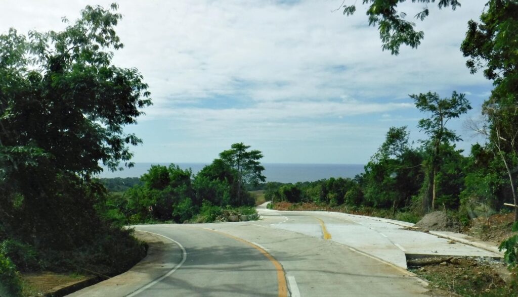 Zd969. This is one of three images of the renewed road to Binuangan Village and a branch road to Caibobo Village. The road to Binuangan existed before as a one lane hard surface and dirt road but is now improved. The branch road to Caibobo is new; it was only a trail before. Neither of the roads are total complete, a short piece to go yet on each road. I understand that Caibobo Point was the original goal of the Japanese during the Battle of the Points and some escaped that way. The right one goes to Caibobo, the left one to Binuangan. 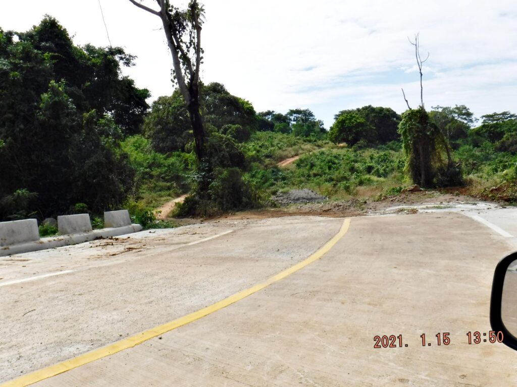 Zd970. This is one of three images of the renewed road to Binuangan Village and a branch road to Caibobo Village. The road to Binuangan existed before as a one lane hard surface and dirt road but is now improved. The branch road to Caibobo is new; it was only a trail before. Neither of the roads are total complete, a short piece to go yet on each road. I understand that Caibobo Point was the original goal of the Japanese during the Battle of the Points and some escaped that way. A little more to go to Caibobo. I actually made one album with all the venues of this trip into this album, but it is a long one: philippine-sailor.net/2021/01/19/bataan-trip-21-01-15/ |
|
|
|
Post by chadhill on Feb 14, 2021 2:12:23 GMT 8
Another wonderful post, Karl. Great photos!
Has anyone stayed at any of the small beach resorts near the west road? Recommendations?
Note from Karl: Can't give you a good answer yet, sorry!
|
|
|
|
Post by Karl Welteke on Jul 1, 2024 10:29:17 GMT 8
A Quick View of the Quinawan Point Area, 2024 June 29. This is the area of the WWII Battle of the Points Area, so it interests me. After my visit to Corregidor, I decided to return to Olongapo via the Bataan West Road. I’m always interested as to what changes have occurred since the Bataan West Road became a nice cruising road! What has happened to jungle, all the WWII battle stories talk about? --------------------------------------------------------  #01. Battle of the Points, Quinawan Point Area, 2024, 29 June. This is a Google Earth graph of some of the WWII Battle of the Points area for your orientation. -------------------------------------------------------  #02. Battle of the Points, Quinawan Point Area, 2024, 29 June. We are looking in the direction towards Luzon Point. The valley in front of us is the Quinawan River Valley (present spelling) and we see a new road coming down into it from the ridge line between it and the Agloloma River Valley. --------------------------------------------------  #03. Battle of the Points, Quinawan Point Area, 2024, 29 June. We are looking into the center of the battle area! --------------------------------------------------------  #04. Battle of the Points, Quinawan Point Area, 2024, 29 June. We are looking directly down into the Anyasan River Valley area. It seems a lot of work is going on there. I wonder what WWII artifacts they might find. -----------------------------------------------------------  #05 Battle of the Points, Quinawan Point Area, 2024, 29 June. This is a view from the Quinawan Battle of the Points area towards North, in the direction of the Bataan Nuclear Power Plant (not visible in this picture). --------------------------------------------------------------  #06 Battle of the Points, Quinawan Point Area, 2024, 29 June. This is a view north from the view point at the Quinawan Battle of the Points Area. ------------------------------------------------------------------  #07 Battle of the Points, Quinawan Point Area, 2024, 29 June. Map 13: Japanese Landings on Bataan from Battle of the Points, US Army, The Fall of the Philippines, Chapter XVII. www.ibiblio.org/hyperwar/USA/USA-P-PI/USA-P-PI-17.html-------------------------------------  #08 Battle of the Points, Quinawan Point Area, 2024, 29 June. Map 16: Anyasan and Silaiim Points Area from Battle of the Points, US Army, The Fall of the Philippines, Chapter XVII. www.ibiblio.org/hyperwar/USA/USA-P-PI/USA-P-PI-17.html |
|