Post by Karl Welteke on Feb 1, 2013 21:16:48 GMT 8
In another thread someone asked this below, about the precise location of a point.
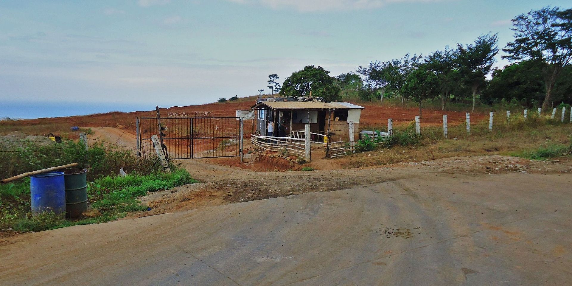
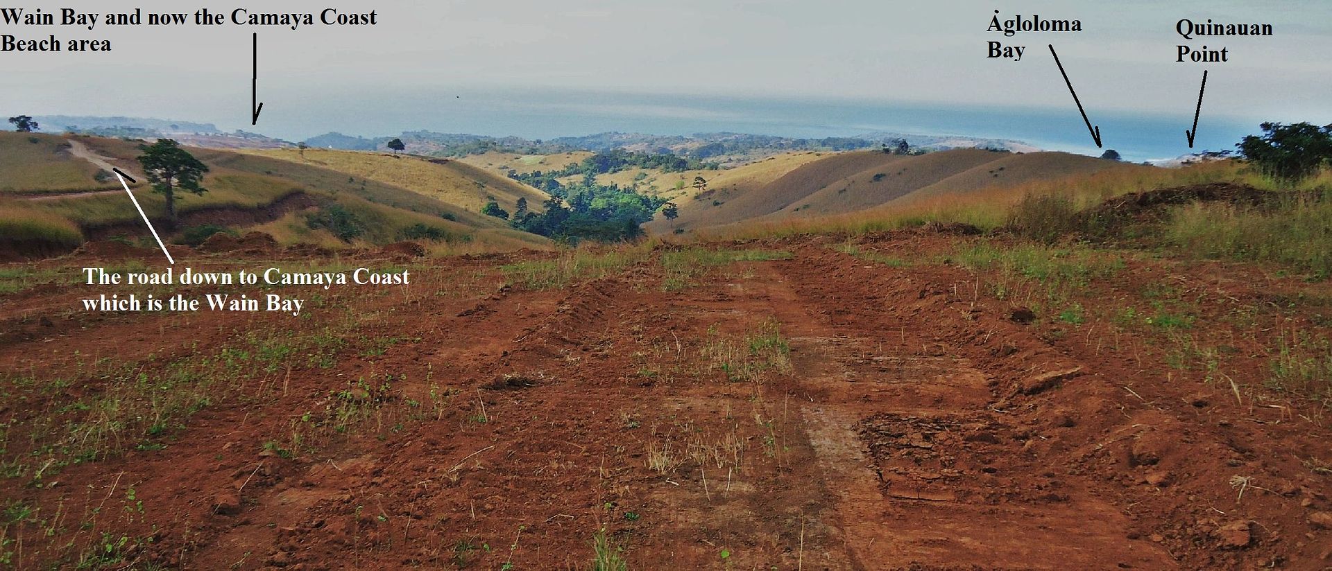
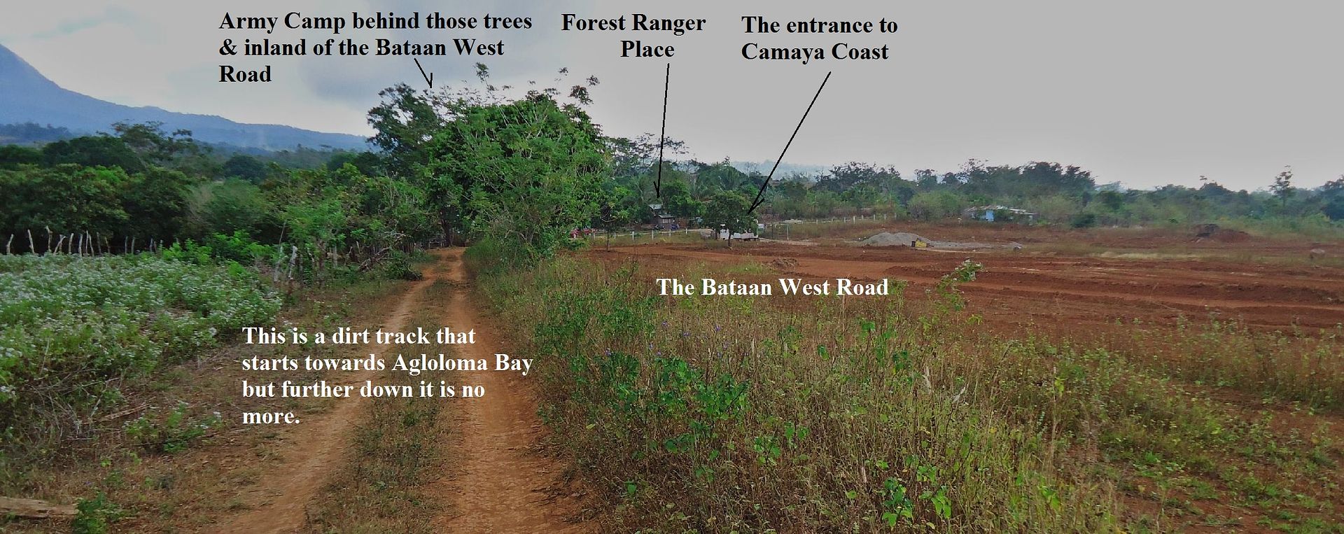
“Interesting find! Much of the coast to the North of the Points battle sites was defended by the 71st Inf (PA), then part of the 91st Div (PA). My Dad's unit, 1st Bn, 71st (PA), covered Caibobo point from the end of Jan 42 until the surrender. Can you give us a more precise location for Quinawan?”
Here are 5 maps that cover the whole west coast of Bataan. They are a little big and I can only present the IMG Thumb. They were already posted in that other thread-Found a M-1918-A2 BAR on the west side of Bataan-:
corregidor.proboards.com/thread/1374/page/2/1918-a2-bar-westside-bataan#scrollTo=11931
But I think, it is appropriate to post them in this thread also!
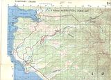
This 1st one is from Subic Bay down to the Bayandali River thru Morong Town. Morong Town can be easily reached from the former Subic Bay Naval Base by car. Morong, of course is famous, as the site of the last US Army Cavalry Charge by Philippine Scouts in 1942.
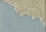
This 2nd map is from Bayandali River down to Kabayo Village, just north of Bagac. It covers the Mauben Line and in this area is the defunct Philippine Nuclear Power plant. The first 4 maps are sections scanned from1:50000 contour maps.

The 3rd map is from Kabayo Village down to Binuangan. It goes thru Bagac Town, thru Saysain Point where the US Army Coastal Artillery placed one of the Navy 8 inch guns. It could fire to Subic Bay or almost. On this map just above Binuangan is the village Romay indicated. That name does not exist today, that is Caibobo. And just left of it one can see the word point, that is Caibobo Point. I have driven with my car to Paysawan many times in recent years. I also know vehicles can drive safely all the way to Binuangan. But from Paysawan to Binuangan is a gravel road. At the bottom of the map is the Silalin Bay, it figured in the Battle of the points.
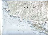
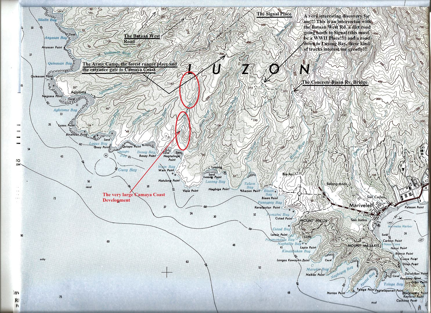
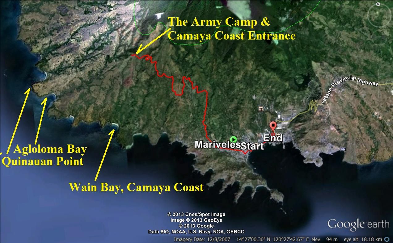
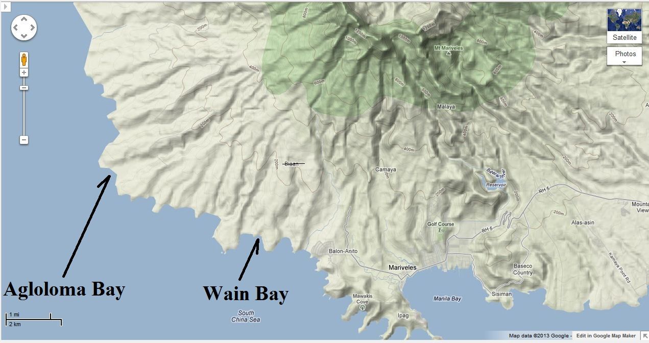
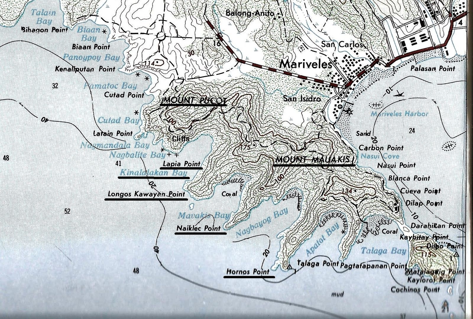
The 4th map is the biggest and starts at Silalin Bay and goes down all the way to Cochinos Point. On the upper portion of the map are all the locations of the upper Battle of the Points: Silalin Bay, Anyasan Point/Bay, Quinauan Point/Bay and Agloloma Bay. All these names figure in the Battle of the Points.
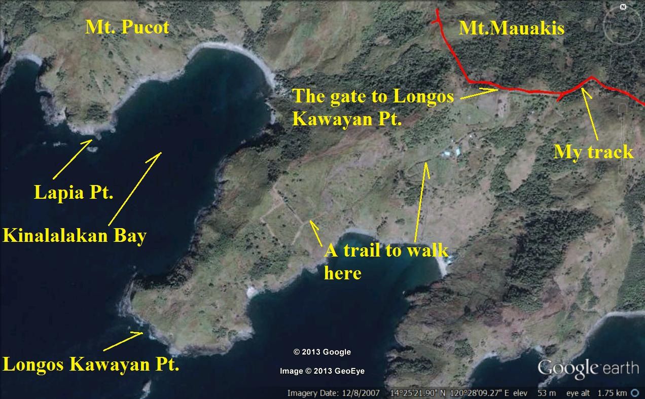
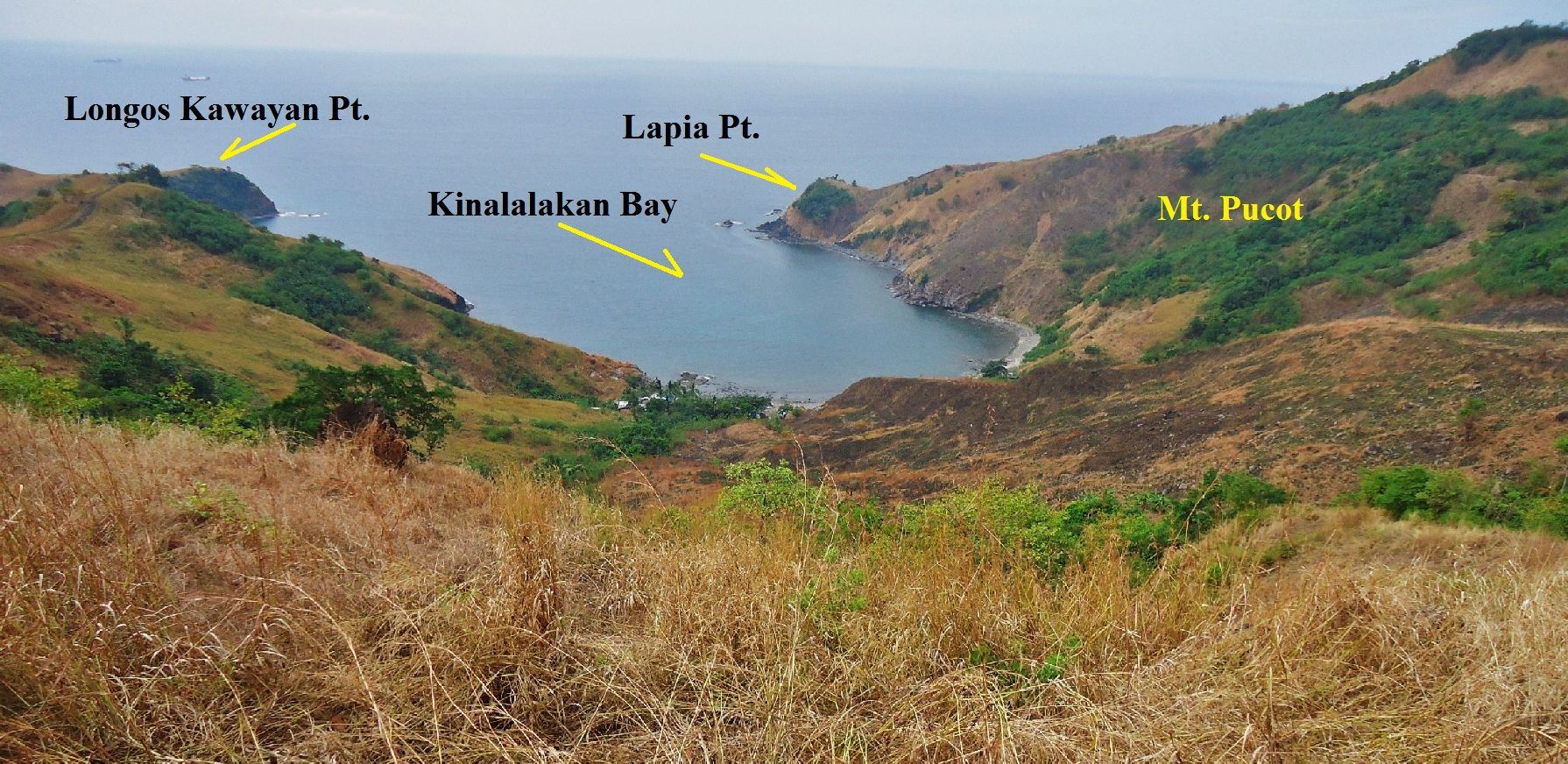
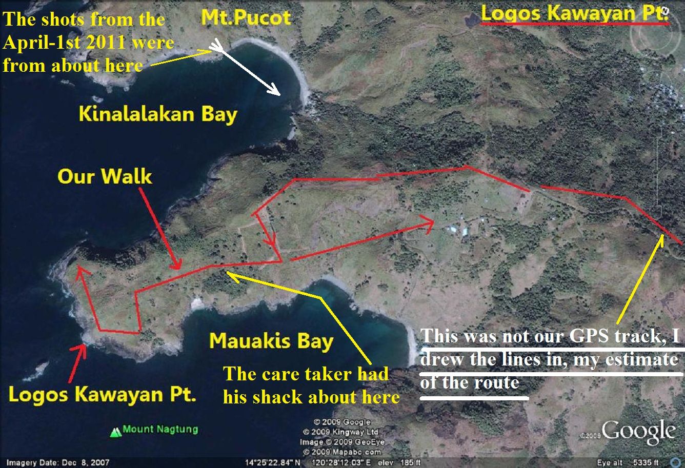
The lower Battle of the Points is Longos Kawayan Point it is also on this map. The above 4 bays all have communities now and Quinauan Village may be the biggest.
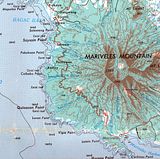
The 5th map is a section of an old Army 1:250000 map, I like it because it shows the old Bataan West Road and it shows the Bataan west Coast in question. Here is the URL of the whole map:
www.lib.utexas.edu/maps/ams/philippines/txu-oclc-6539351-nd51-5-450.jpg
“Interesting find! Much of the coast to the North of the Points battle sites was defended by the 71st Inf (PA), then part of the 91st Div (PA). My Dad's unit, 1st Bn, 71st (PA), covered Caibobo point from the end of Jan 42 until the surrender. Can you give us a more precise location for Quinawan?”
Here are 5 maps that cover the whole west coast of Bataan. They are a little big and I can only present the IMG Thumb. They were already posted in that other thread-Found a M-1918-A2 BAR on the west side of Bataan-:
corregidor.proboards.com/thread/1374/page/2/1918-a2-bar-westside-bataan#scrollTo=11931
But I think, it is appropriate to post them in this thread also!

This 1st one is from Subic Bay down to the Bayandali River thru Morong Town. Morong Town can be easily reached from the former Subic Bay Naval Base by car. Morong, of course is famous, as the site of the last US Army Cavalry Charge by Philippine Scouts in 1942.

This 2nd map is from Bayandali River down to Kabayo Village, just north of Bagac. It covers the Mauben Line and in this area is the defunct Philippine Nuclear Power plant. The first 4 maps are sections scanned from1:50000 contour maps.

The 3rd map is from Kabayo Village down to Binuangan. It goes thru Bagac Town, thru Saysain Point where the US Army Coastal Artillery placed one of the Navy 8 inch guns. It could fire to Subic Bay or almost. On this map just above Binuangan is the village Romay indicated. That name does not exist today, that is Caibobo. And just left of it one can see the word point, that is Caibobo Point. I have driven with my car to Paysawan many times in recent years. I also know vehicles can drive safely all the way to Binuangan. But from Paysawan to Binuangan is a gravel road. At the bottom of the map is the Silalin Bay, it figured in the Battle of the points.

The 4th map is the biggest and starts at Silalin Bay and goes down all the way to Cochinos Point. On the upper portion of the map are all the locations of the upper Battle of the Points: Silalin Bay, Anyasan Point/Bay, Quinauan Point/Bay and Agloloma Bay. All these names figure in the Battle of the Points.
The lower Battle of the Points is Longos Kawayan Point it is also on this map. The above 4 bays all have communities now and Quinauan Village may be the biggest.

The 5th map is a section of an old Army 1:250000 map, I like it because it shows the old Bataan West Road and it shows the Bataan west Coast in question. Here is the URL of the whole map:
www.lib.utexas.edu/maps/ams/philippines/txu-oclc-6539351-nd51-5-450.jpg


