|
|
Post by Karl Welteke on Jun 14, 2010 16:09:53 GMT 8
Yes Vic, I like the upper, bigger circle, right in the center are two low ridge lines with rice fields in between. Will check them out this week!
|
|
|
|
Post by Karl Welteke on Jun 16, 2010 10:18:24 GMT 8
This was the 1st walk and was with my Army friend Chris on the 15th of June 2010. We drove to Culis, Hermosa and looked at the rice fields between the National Hwy and the Culo River from the new Hermosa Public Market. That will be another walk, that is were the Philippine Army 71st Div was manning the defense line. Then we parked at the entrance of the Hermosa Economic Industrial Park (HEIP). We basically walked the road along the north perimeter of HEIP towards the village Little Baguio and continued west to Bacong and then returned checking out the low ridge line running towards Layac which come from the Mt. Natib Volcano. This area was manned by the 31st Inf. US Army, 26th Cav. Philippine Scouts and the 23rd and 88th FA Philippine Scouts. We wanted to look for possible artillery positions that may have been used. Here is the album with 54 images: s74.photobucket.com/user/PI-Sailor/library/Walk%20in%20the%20Philippines/No%202%20Walk%20PI%20Group/Layac%20Project/HEIP%20to%20Bacong%202010-06-15?sort=9&page=1or tinyurl.com/nwujdlfThe above link has been dead, I don’t how it happens so often with me. But as of today, the 15th Nov. 2015 it is active again and Fate willing it will stay that way! Here are some sample images from our 1st walk at the Layac First Line of Defense area: 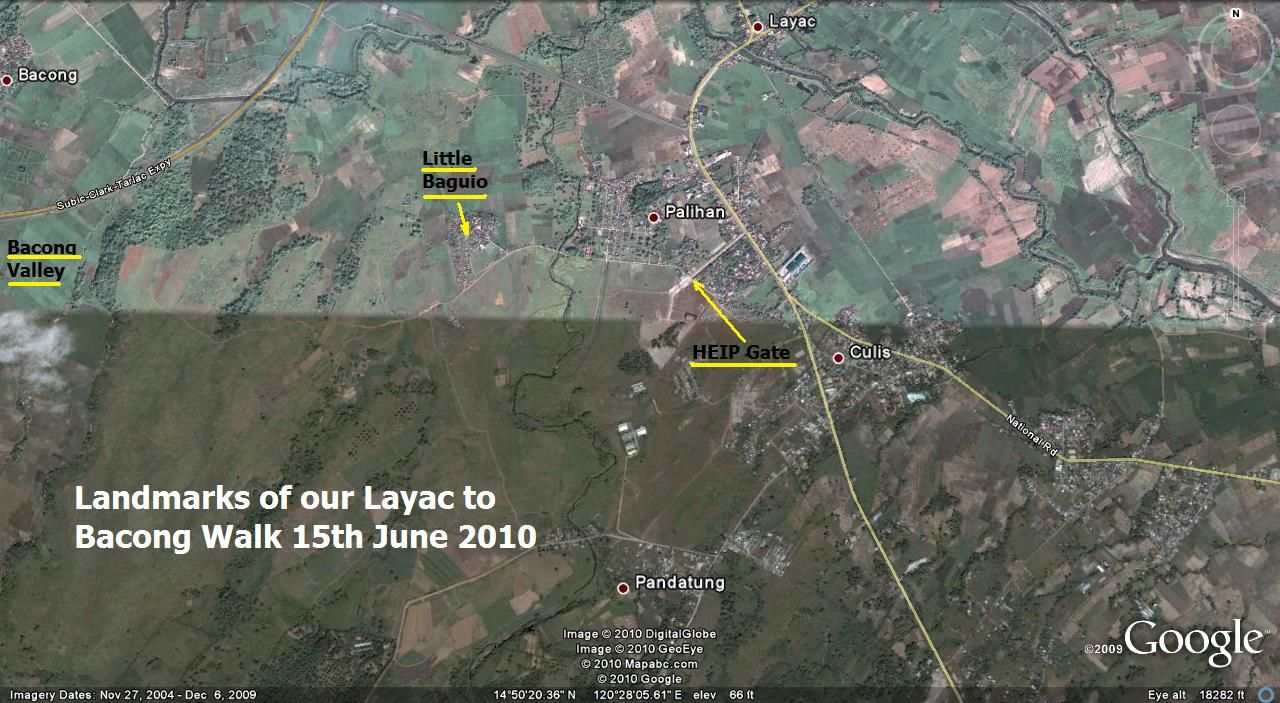 Z169- Basically we just walked from the Old National Highway in Palihan due west to the Bacong Valley crossing about three ridge lines from the Mt. Natib complex, we crossed these ridges at their very bottom end. This map gives you land marks. 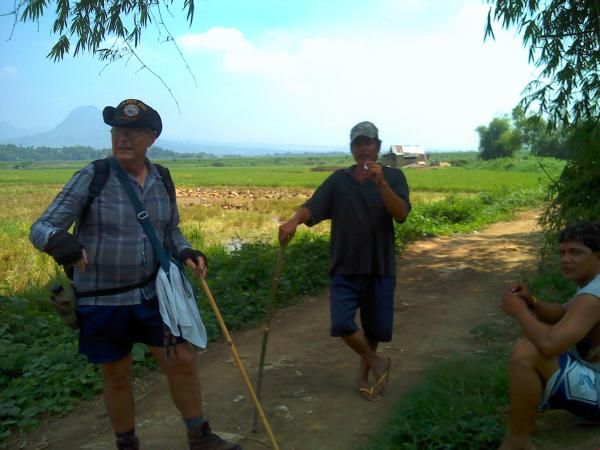 Z170- Yours truly in my walking outfit and I am not getting any younger. I am standing west of Little Baguio. Behind my head the very unique volcanic vent, Mt. Malasimbo. 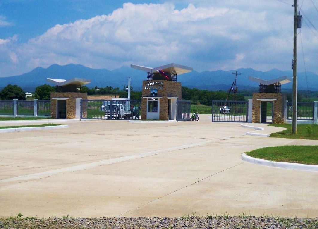 Z171- The gate to the Hermosa Ecozone Industrial Park (HEIP), a little left is a rise which very well could have served as a command post. 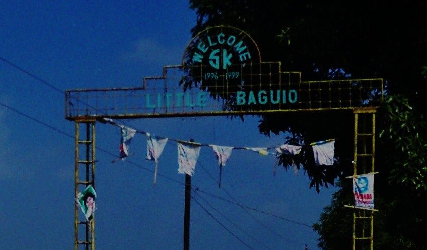 Z172- The Little Baguio in the Layac Battle area. Copying names like that is common in the Philippines. Just like you have city/town names of Europe in the USA, etc. 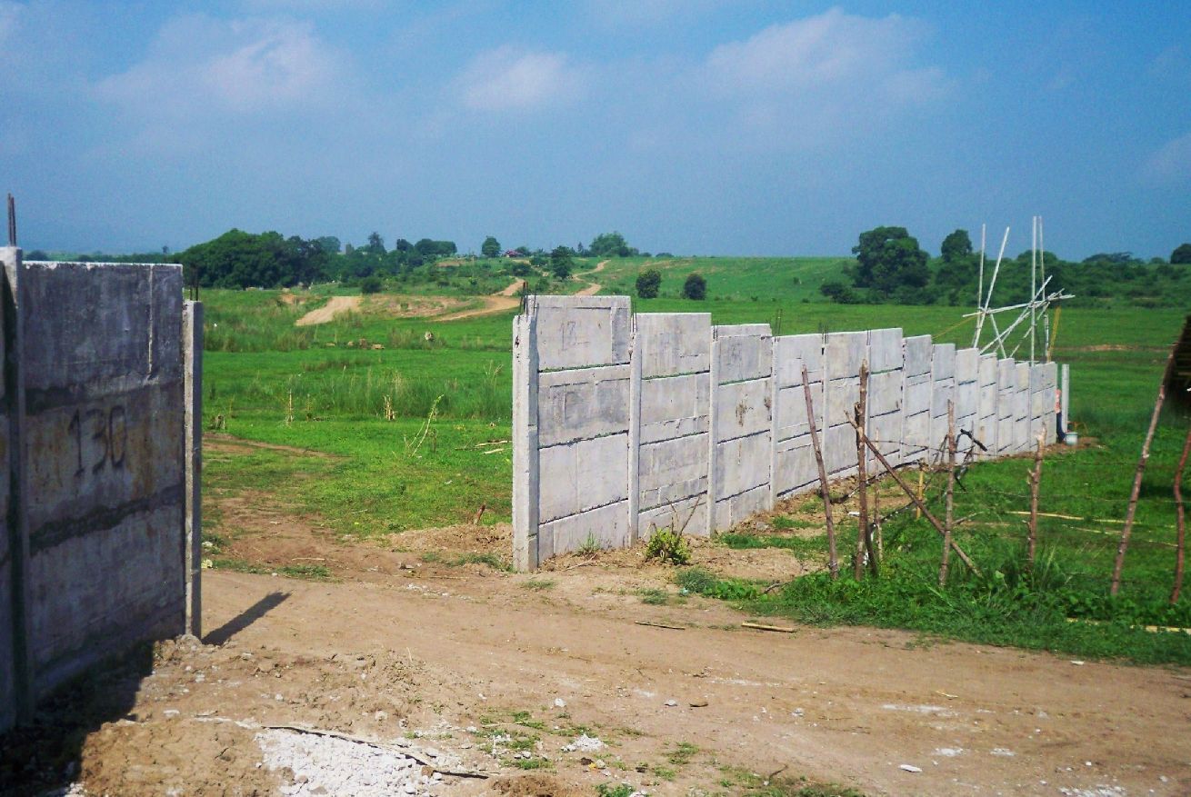 Z173- We are located just SW of Little Baguio and we are looking west, we will head that way. We were thinking maybe that ridge line ahead could have been used by the 23rd or 88th FA PS. The wall is being built by HEIP to separate the communities outside from the HEIP Security area. 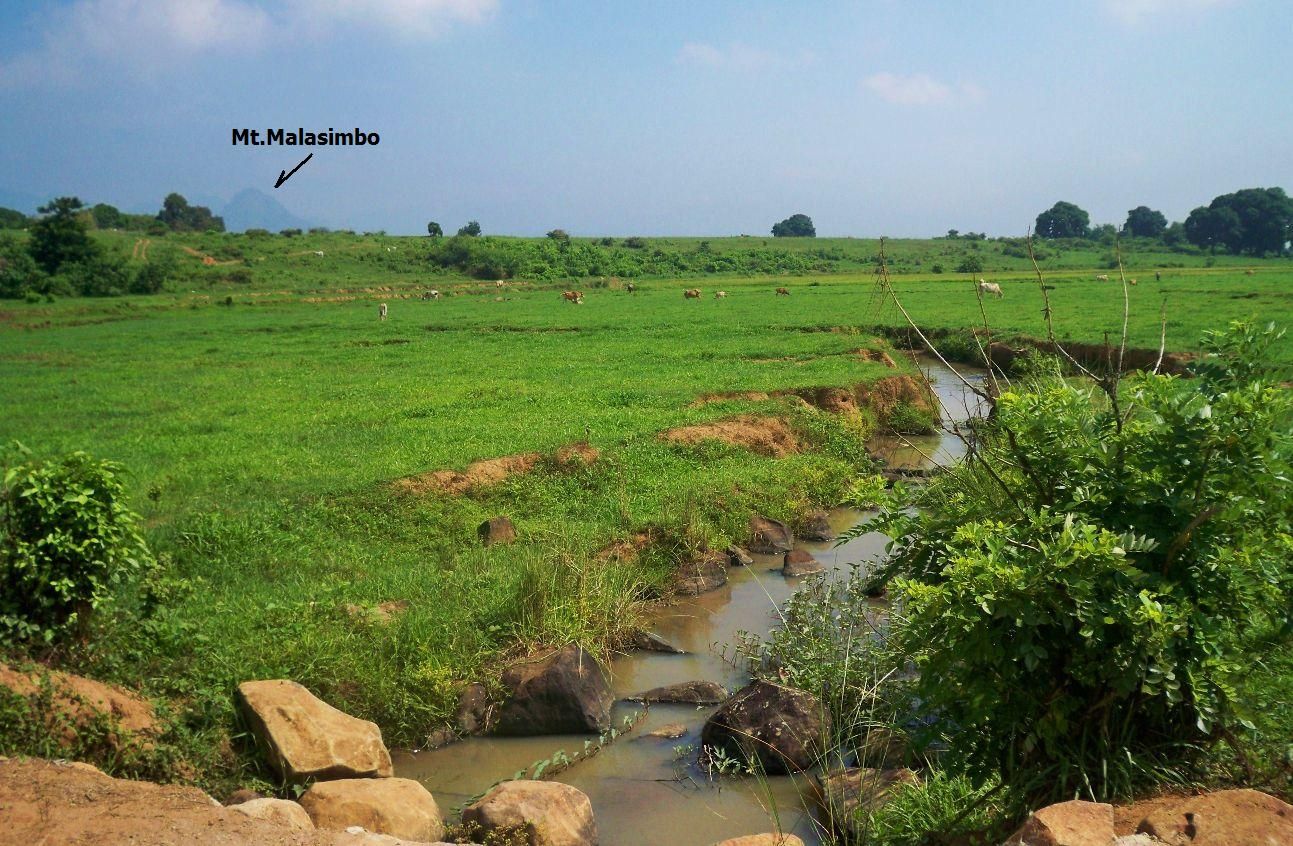 Z174-We are still SW of, next to Little Baguio and look across a depression or valley between Little Baguio and the 1st ridge line to the west. 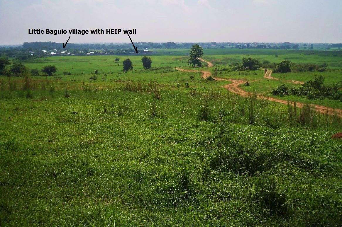 Z175- We have reached the 1st ridge line west of Little Baguio and looking back at that community, this is also the direction to the Layac bridge and intersection. 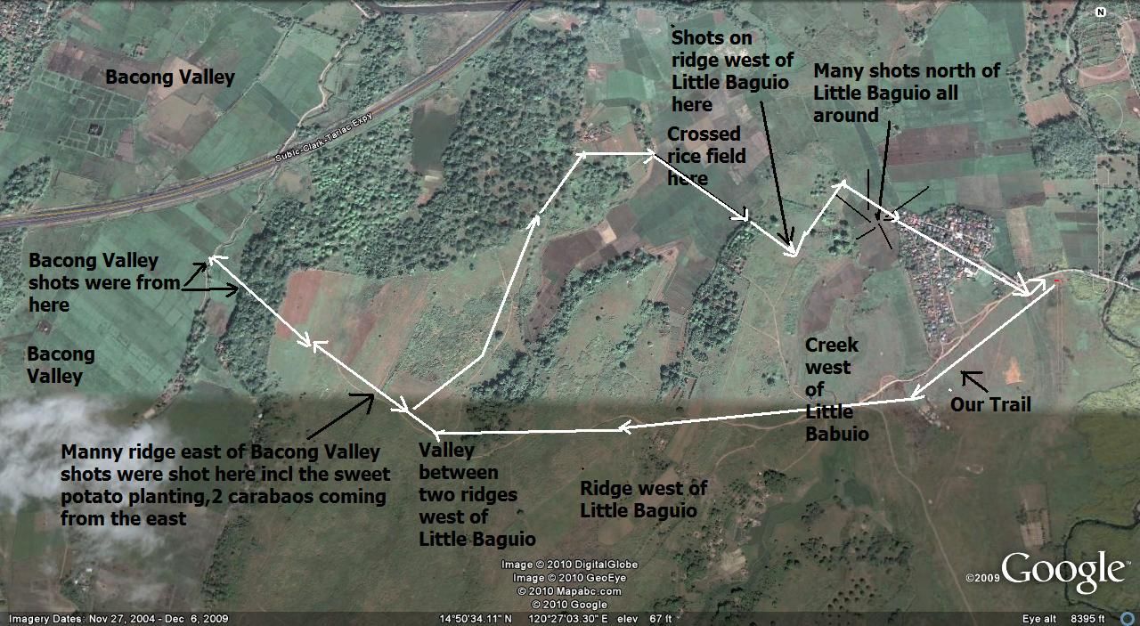 Z176- Our track marked onto the Google Earth image. This was before I owned a GPS devise, he, he. 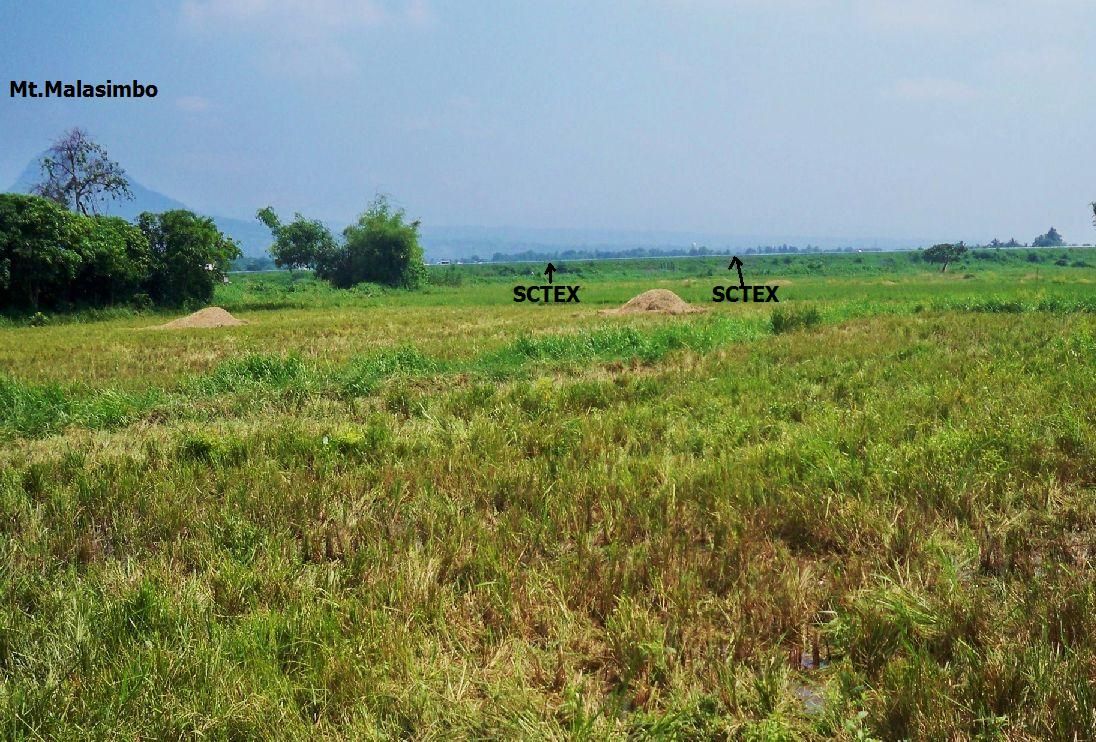 Z177- Looking north and we see the new Subic-Clark Expressway. Along that line, very well, could have been the area of the 26th Cav. PS which also helped defending the Layac First Line of Defense. 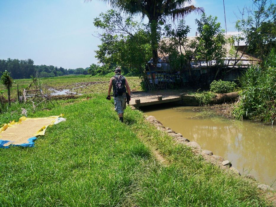 Z178- My Army Buddy Chris in front and we have returned to Little Baguio and finished our walk. It was a good day and a good walk! |
|
|
|
Post by victor on Jun 16, 2010 20:41:40 GMT 8
Karl, thanks for the advance "recon" of the area  I have some comments in yellow (click for bigger):  Can one drive up to Little Baguio and start the hike from there? I can't imagine why not. |
|
|
|
Post by victor on Jun 17, 2010 21:12:57 GMT 8
|
|
|
|
Post by okla on Jun 17, 2010 22:14:01 GMT 8
Hey Vic....I always enjoy your aerial views of the battlefields and sites along with your narrative of the concerned actions,etc. I am still continually going back to the Abucay Line information that you so kindly posted sometime back. I am confused, which ain't exactly rare at my advanced age, about "Little Baguio" referred to in this thread.. Were there two locations tagged with this name. The only Little Baguio that I have ever heard of was the hospital location (number one) in Southern Bataan. I think it would be in the rough country northeast of Mariveles. Somewhere in that region. If memory serves Hospital #2 was located on the Real River closer to Cabacaben. Would appreciate you clearing up my cloudy mind once again. This is good stuff concerning Layac. Lots of Bataan/Corregidor "geeks" overlook this initial engagement, thinking that Abucay was the opening round of the actual Bataan Campaign. Not so, as I found out many years ago. Abucay still stands, at least in my mind, as the place where the Fil/American forces stopped their retreat and got their first"time at bat"and bloodied a few enemy noses to use a baseball metaphor. Again, this Layac thread is excellent stuff.
|
|
|
|
Post by victor on Jun 18, 2010 3:48:36 GMT 8
Hi Okla,
I didn't know that that housing development was called Little Baguio until Karl visited the area. I'm not sure if it's a nickname or the community's actual name.
"Little Baguio" to some extent is like "Elm St." or "Oak St." -- there could be many places called by that name. It's almost a running informal nickname in the Philippines given to a place that may be cooler or breezy, hilly, or that may have many pine trees. This place's name certainly does not have a WW2 lineage.
|
|
|
|
Post by Karl Welteke on Jun 18, 2010 13:24:25 GMT 8
It is the actual name of the village and has nothing to do with the other Little Baguio of WWII near Mariveles. By the way that bridge spans the Tama River which flows into the Culo River. 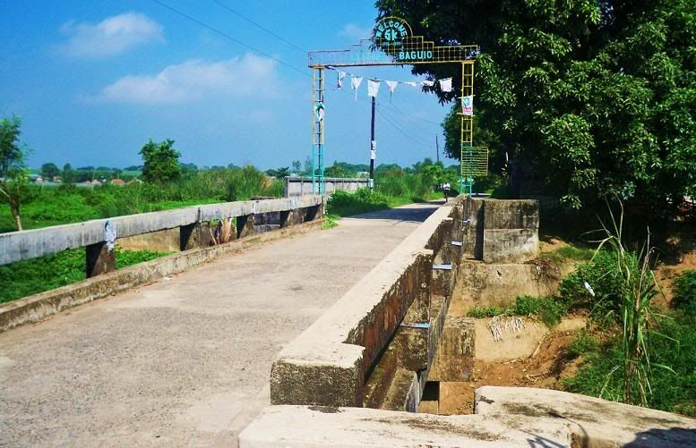  |
|
|
|
Post by okla on Jun 18, 2010 23:41:03 GMT 8
Hey Karl....Thanks for putting my mind at ease. It can use all the TLC it can get these days. Minute stuff like this literally runs me up the wall sometimes. Maybe I should get a part time job before wife has me committed. Cheers.
|
|
|
|
Post by victor on Jun 19, 2010 8:34:54 GMT 8
I superimposed Batteryboy's map over the satellite photo. Look where the 88th happen to overlay... the same ridges we suspect them to have been. (click for bigger)  Revised position guesstimate and plan of hike.  |
|
|
|
Post by fots2 on Jun 19, 2010 20:15:31 GMT 8
Victor, That was a good link you posted on the background of the battle. If anyone is interested in “what if” discussions, you will love this thread about MacArthur and the defense of Bataan. It seems to go on forever. A lot of information with facts and figures is presented however the sources are rarely quoted. Take that for what its worth I guess. If you back up a forum level or two you will find discussions on all aspects of WWII. www.ww2f.com/what-if-pacific-cbi/28198-what-if-macarthur-goes-offensive-pi.html#post360139 |
|