FAILED MISSION BUT GREAT WALK INTO MT. PINATUBO LAHAR 2014-12-17
The mission was to deliver books to the Aeta Village Villar in the Botolan Lahar Fields, about 22 km from the last road. The book recounted the experience of a Peace Corps member who served in this village 1969-71. The author of the book was Richard Schneider who was assigned to this village in 1969-71. He is unable to deliver the books himself.
A mutual friend asked me to do it and I’m happy to do it because the Botolan Lahar area interests me greatly. Two friends joined me. We ended up at the wrong village, 5 km further into the Lahar Fields. We decided not to go back and rather carry out or walk plan which was to continue, cross two ridges and end the walk in Santa Fe, in San Marcelino.
I will carry out this mission in the last week of Dec. 2014!!!!
Walking around in the Mt. Pinatubo Lahar Fields, to see the result of this mighty volcanic eruption, to watch the hardy natives, both Aeta and Filipinos to reclaim their land and life is awe inspiring.
I have posted 35 images in an album in my Photobucket account they are larger than in this forum presentation. Both have the same descriptions. This is the album URL:
tinyurl.com/n2amz9zI find this challenging walk most interesting and posted all 35 images here again with the same descriptions , perhaps you agree.
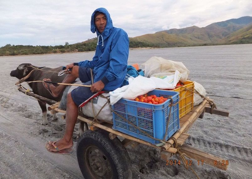
Y751. Behind the driver is Baquilan, I think the resettlement there is called San Juan. All traffic like this Carabao cart driver from the Botolan Lahar Fields has to come here. A nice load of tomatoes, love tomatoes
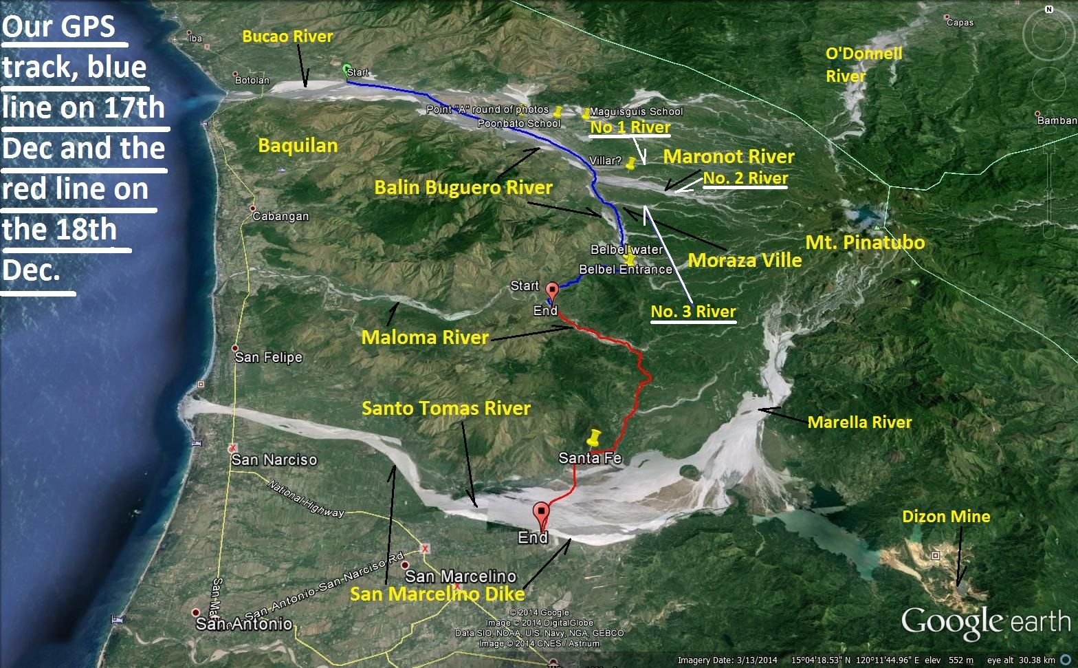
Y752. Our combined GPS track of the walk on two days, the 17th and the 18th Dec 2014. Pay particular attention on the 3 rivers, I marked on this graph.
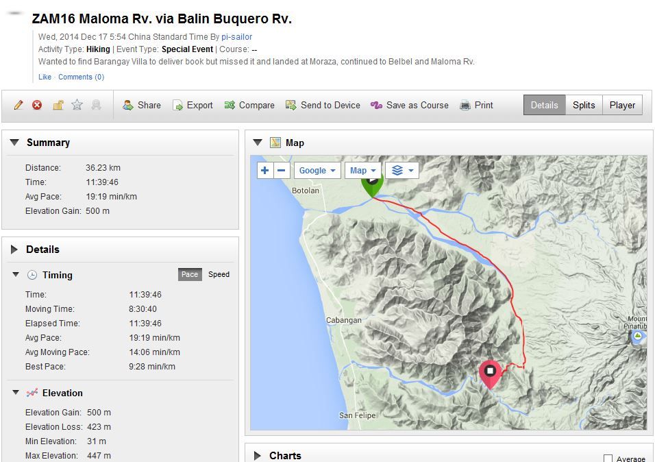
Y753. The walking data of our 1st walk on the 17th Dec. 2014, we made it all the way to the Maloma River.
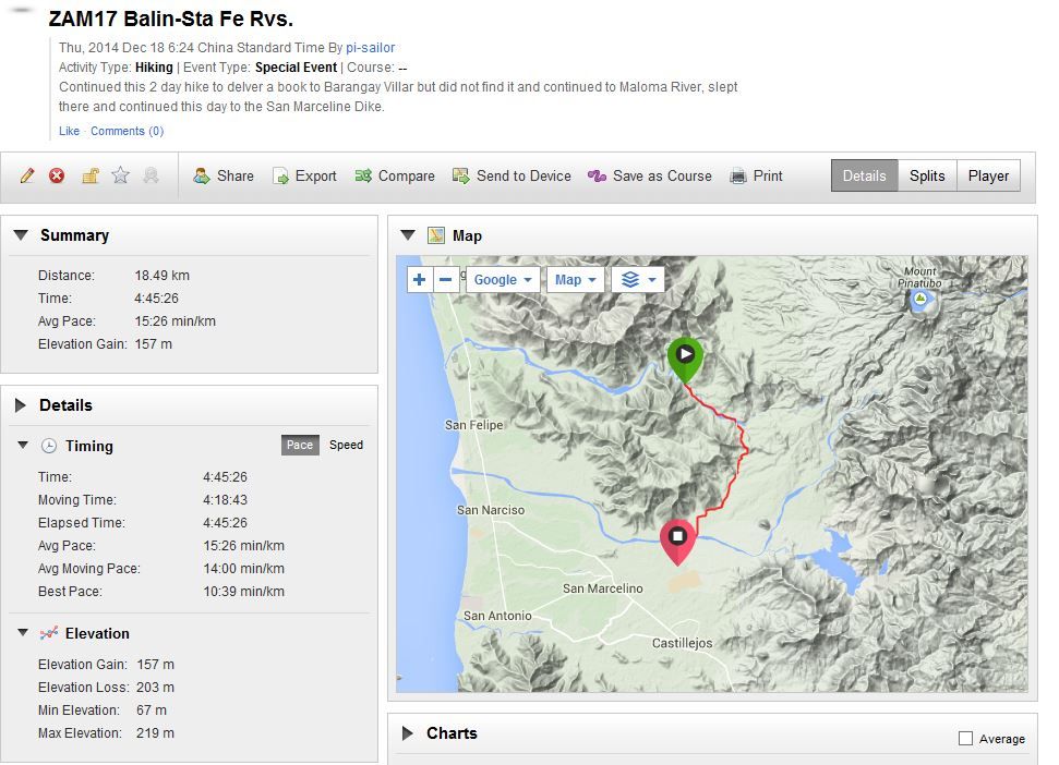
Y754. The walking data of our 2nd walk on the 18th Dec. 2014 from the black sand mine to the San Marcelino Dike.
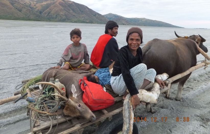
Y755. Wow!! A Deer! I believe it is alive but I don’t know what its future will be.
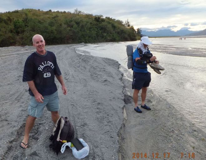
Y756. It is 7:16 am, walked 5 km, and we reached the combined Bucao and Balin-Buguero River and we have to cross the Balin-Buguero River again because it flows in only a few hundred yards up-river. It will take us 25 minutes and it is 1 km.
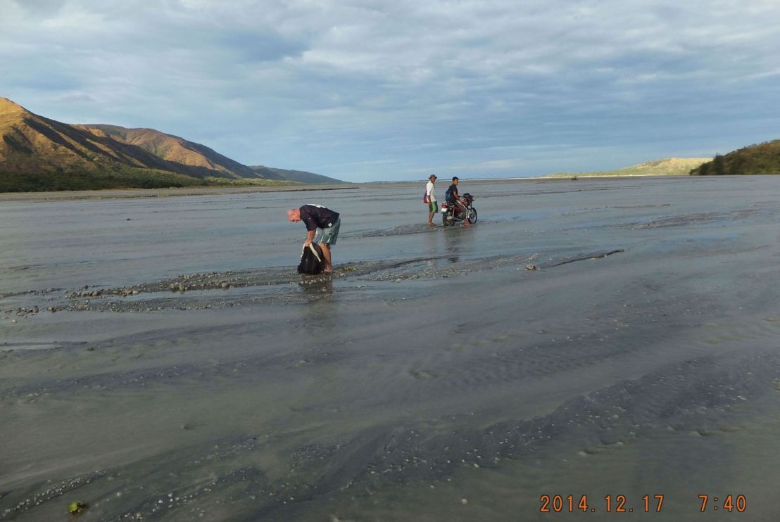
Y757. We are now in the Balin-Buguero River where it flows into the Bucao River and we are looking down river of the combined rivers. There are no more weapons carriers, they died out but motor bikes are seen frequently.
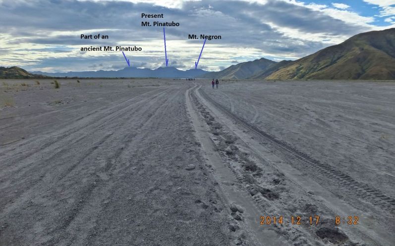
Y758. We are now on a long march up the side of the Balin-Buguero River and we see a large group of people coming in our direction and they came from the left from Barangay (Brgy) Poonbato.
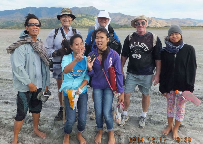
Y759. These students are from a college and were on some kind of field trip to Brgy. Poonbato, stayed overnight and are on their way home, it were about 20+ students, these were the last with their teacher.
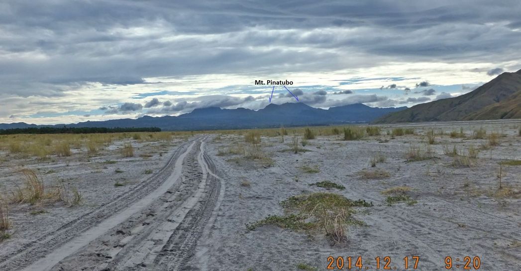
Y760. It is 0920 hours now; we walked about 1 ½ hours since the river crossing and it seems we did not make much progress.
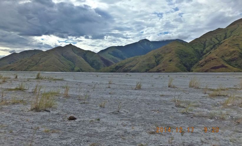
Y761. On our way up the Balin-Buguero River the Cabangan Mountains protect our right flank; we go passed about 8 major ridges and 7 major valleys.
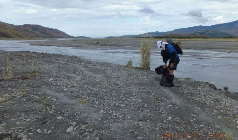
Y762. We are just crossing a meandering arm of the Balin-Buguero River, my buddy; Canadian George had a trick up his bag. He brought plastic bags, slipped into them and walked across the water that way so he does not get his shoes wet.
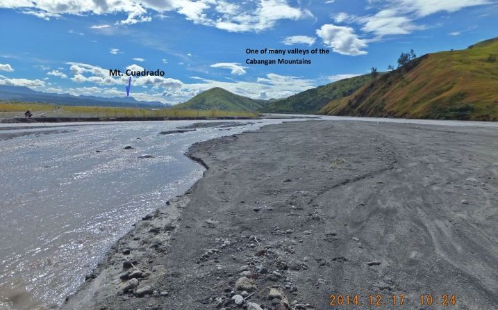
Y763. The same meandering river arm of the Balin-Buguero River, further up-river now, crossing these waters is a pain in the neck because of taking shoes off and putting them back on is very time consuming for us old folks.
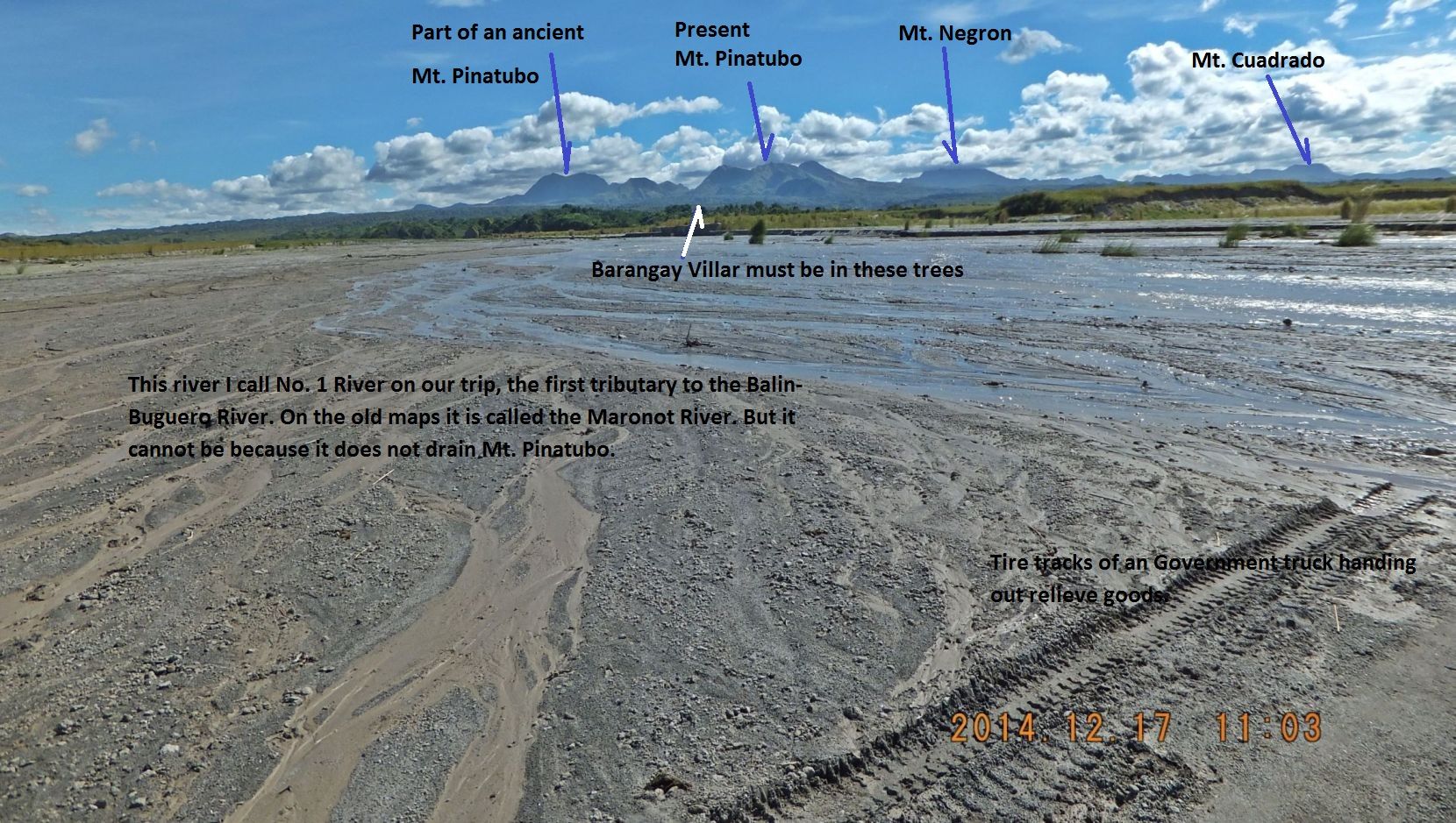
Y764. This is the 1st of 3 landmark rivers, only now do I suspect that Brgy. Villar is where I indicated it on this image. In preparation of this walk I calculated Brgy Villar to be on the south bank of the 3rd river and I WAS WRONG.
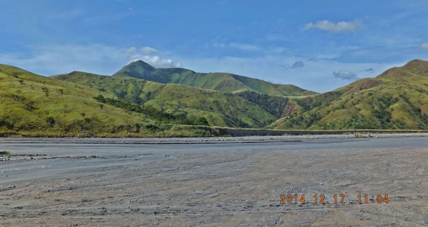
Y765. The Cabangan Mountains across the mouth of the #1 River, I noticed old road cuts, were they for logging or mining?
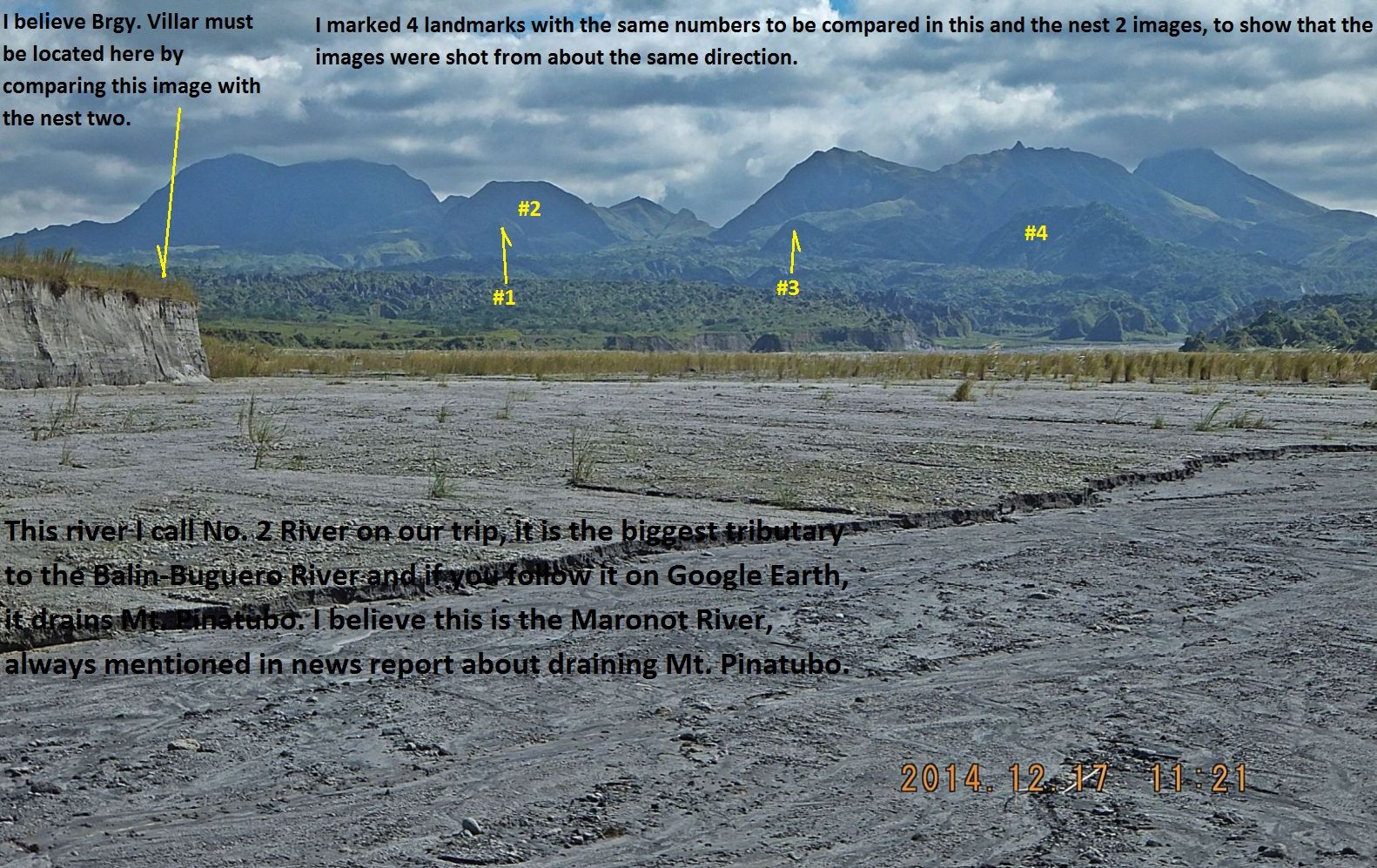
Y766. This is the mouth of #2 River; it is the largest tributary into the Balin-Buguero River. The next 2 pictures are from 1969-71 and as I compare those 2 with this picture one has to assume Brgy. Villar is on the river bank at left.
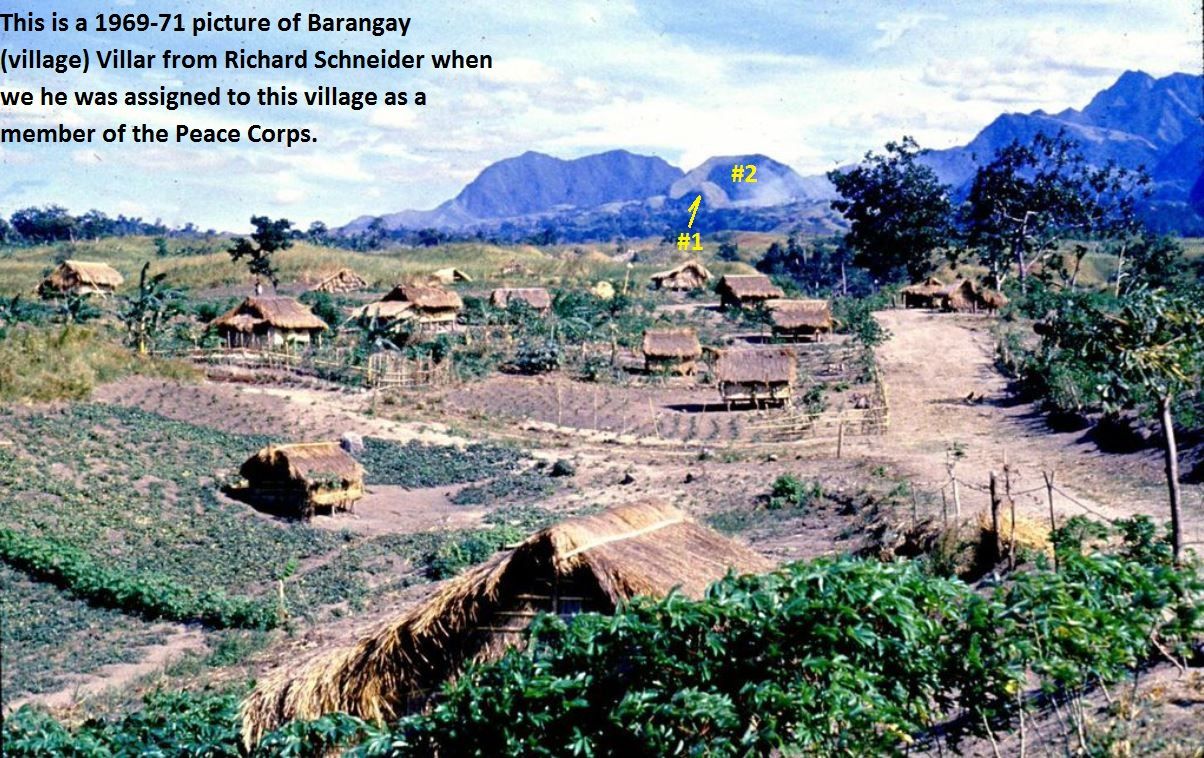
Y767. This is a 1969-71 picture of Barangay (village) Villar from Richard Schneider, as I compare the angle between the landmarks # 1 and #2 on the images I have assume that we passed Brgy. Villar on our walk.
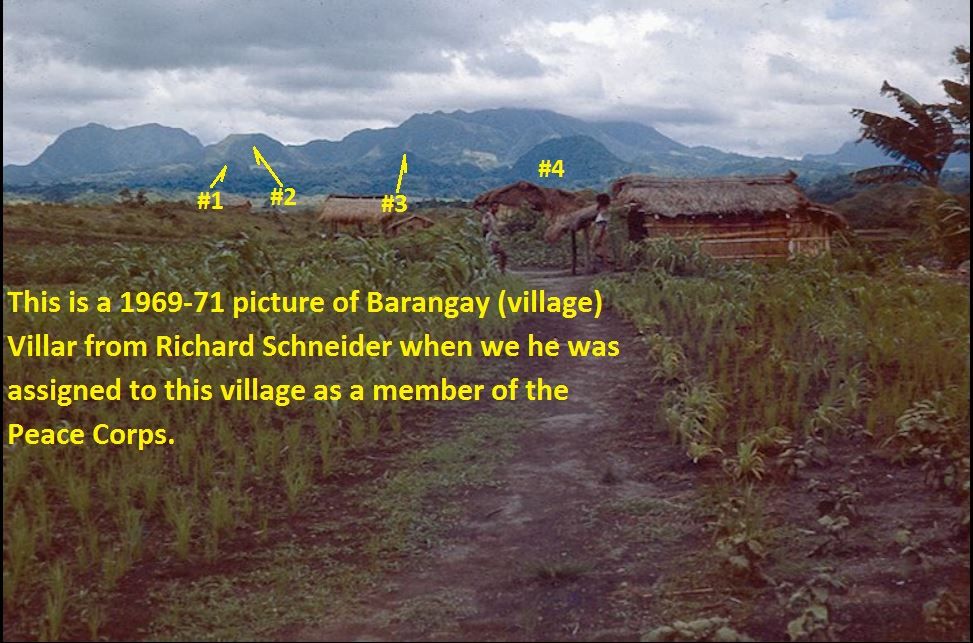
Y768. This 1969-71 picture of Barangay (village) Villar from Richard Schneider shows all 4 landmarks and again I can only assume that we passed Brgy. Villar on the 2nd picture back from this one.
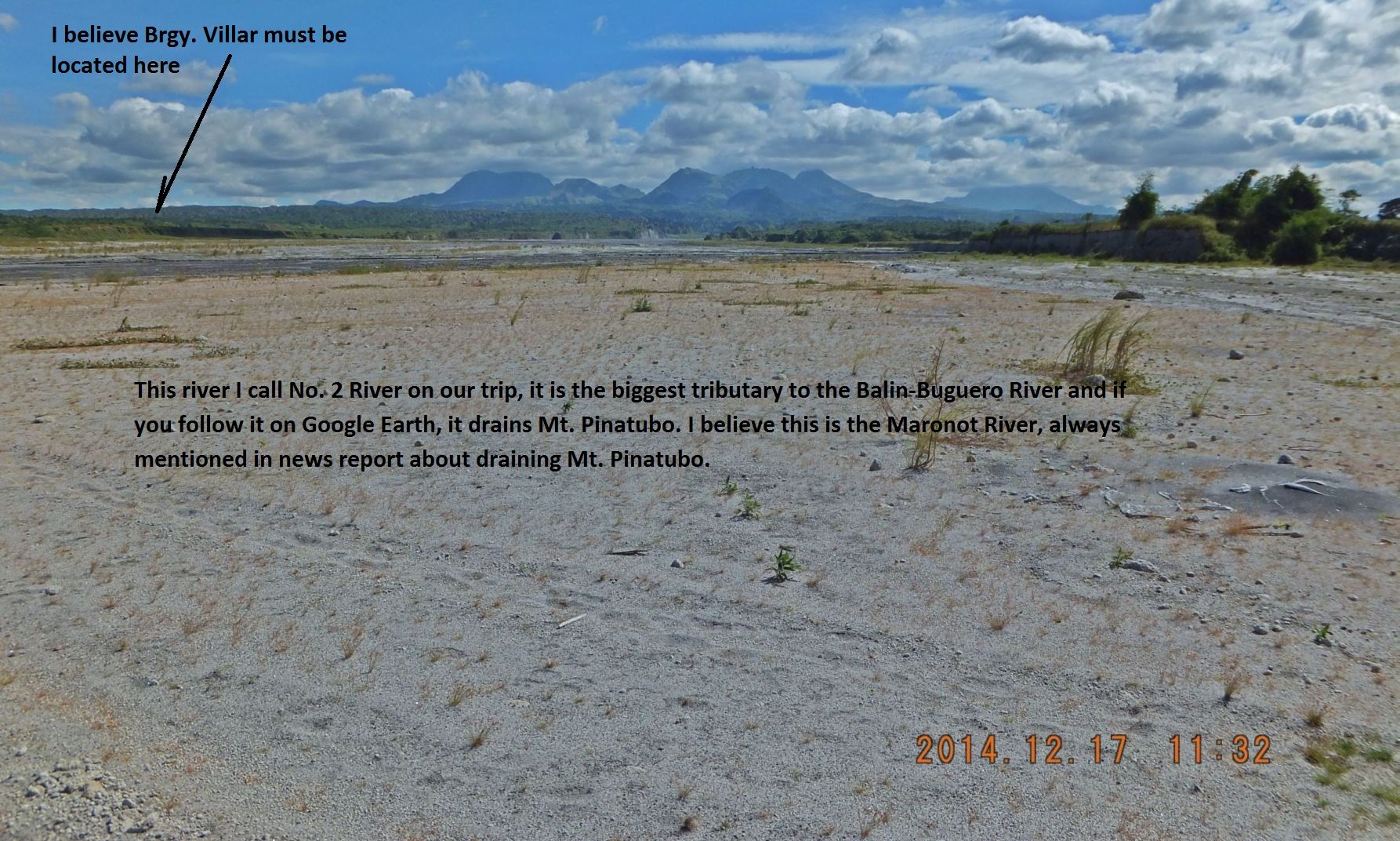
Y769. This river I call No. 2 River on our trip, it is the biggest tributary to the Balin-Buguero River and if you follow it on Google Earth, it drains Mt. Pinatubo. I believe this is the Maronot River, always mentioned in news, draining Mt. Pinatubo.
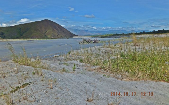
Y770. We are looking back and down the Balin-Buguero River. We are on our way from #2 to #3 River.
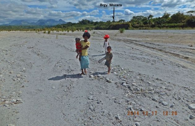
Y771. At 1226 hours, 6.5 hours later from our start we are at the village on the south bank of #3 River but the village turned out to be Brgy. Moraza. We decided not to go back and find Brgy Villar but decided to finish our trek to Santa Fe.
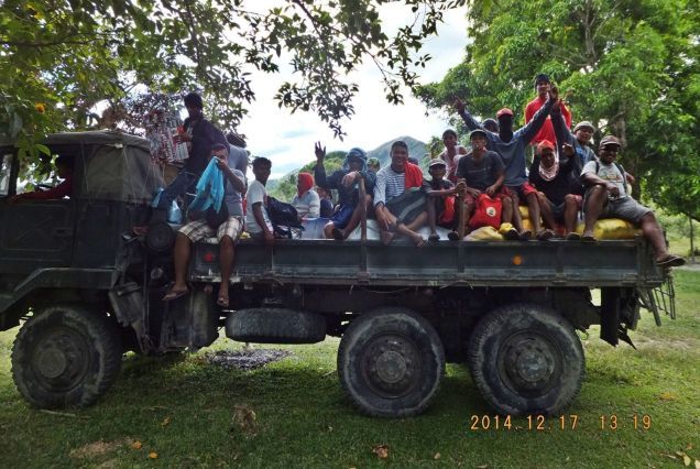
Y772. We entered Brgy. Moraza and seen this ex military truck, the people on it are catching rides. The trucks mission was to carry goods to be handed out in red colored bags (Christmas) to the residents.
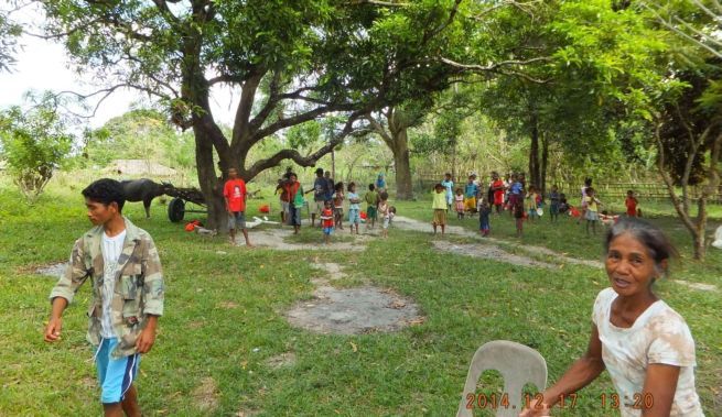
Y773. In Moraza Village, those red bags were just handed out. The lady at right said she was the Barangay Captain. We explained what we were doing and continued on our way.
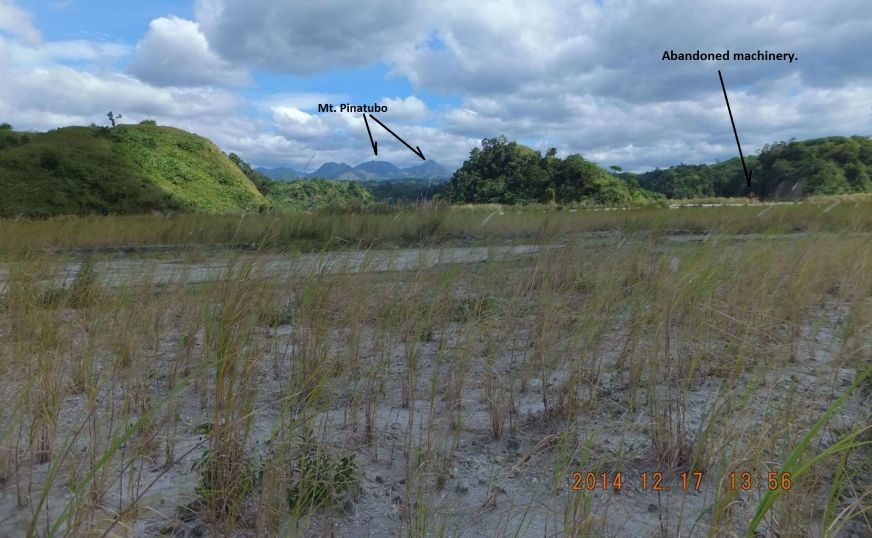
Y774. We are back on the Balin-Bueguero River after leaving Brgy. Moraza and are on our way to the next village, Brgy. Belbel.
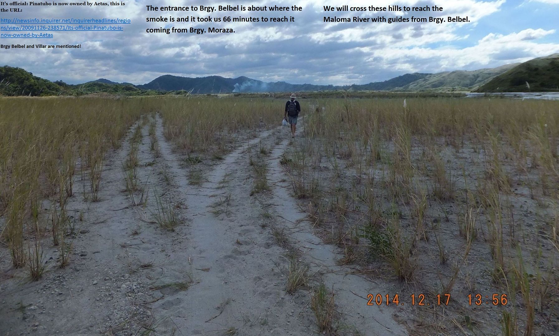
Y775. It is official: Pinatubo is now owned by Aetas, this is the URL:
newsinfo.inquirer.net/inquirerheadlines/regions/view/20091126-238571/Its-official-Pinatubo-is-now-owned-by-AetasBrgy Belbel and Villar are mentioned!
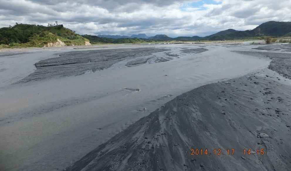
Y776. The entrance to Brgy. Belbel is ahead. It took us 66 minutes to reach it coming from Brgy. Moraza.
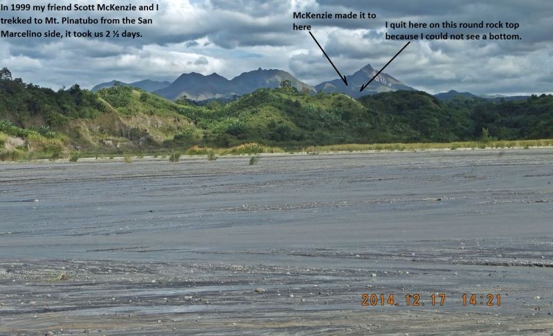
Y777. As we walked by here I remembered those spots on Mt. Pinatubo.
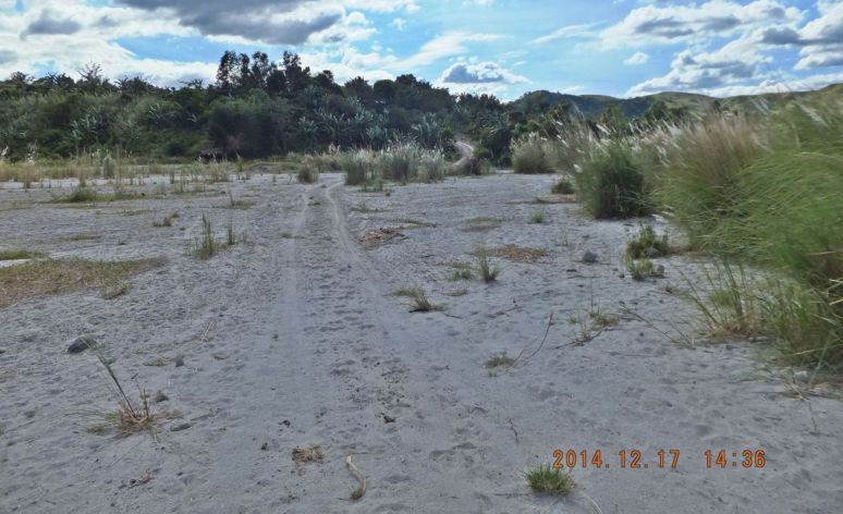
Y778. 1436 hours, we are at the entrance of Brgy. Belbel, thank the Lord. I failed to take pictures but 1st priority was to get water. The Pastora and the Brgy Capt. guided us to the spring and we filled up our containers.
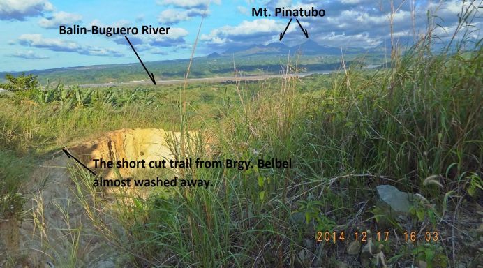
Y779. We are on our walk over the ridge from Brgy. Belbel to the Maloma River. There is a new road cut but the Aeta guides used some shortcuts, but the climb was over 200 meters and I was dragging my butt.
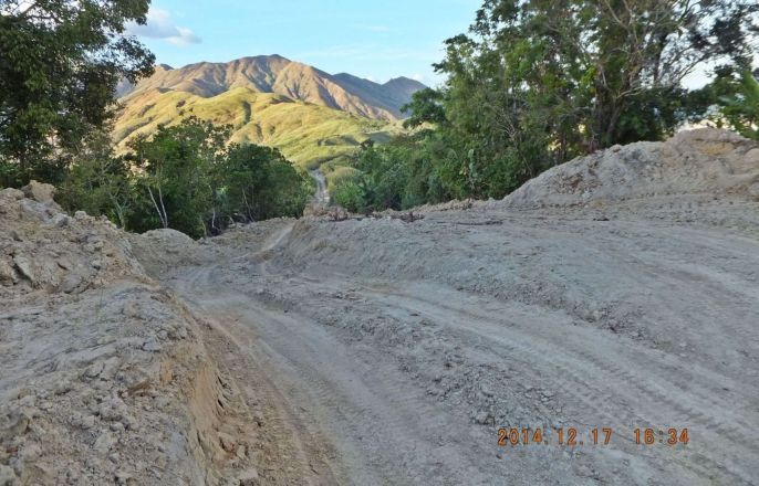
Y780. The new road cut over the ridge from Brgy. Belbel to the Maloma River, I would have preferred the road vice the short cut, such is life!
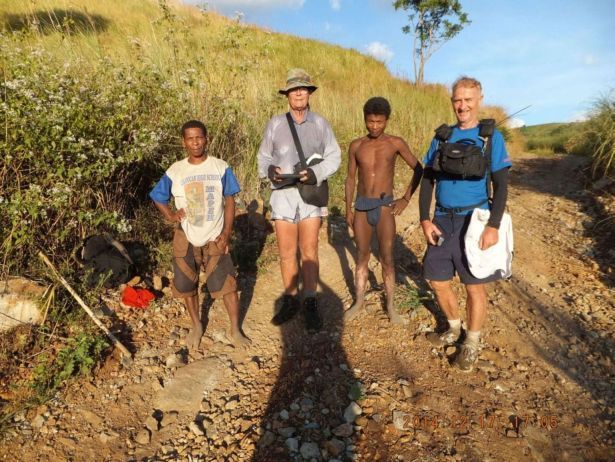
Y781. At a certain point when we sure we could not get lost we released our two Aeta guides. The person at left was the Brgy Belbel Capt. and he felt sorry for me and carried my bag. Naturally we had a deal to compensate them.
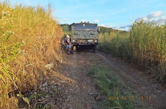
Y782. On our way down to the Maloma River we came across this truck with a flat which was waiting for repair, there were no people and the truck was loaded with black sand (iron ore particles). These ex military trucks are from WESTPAC.
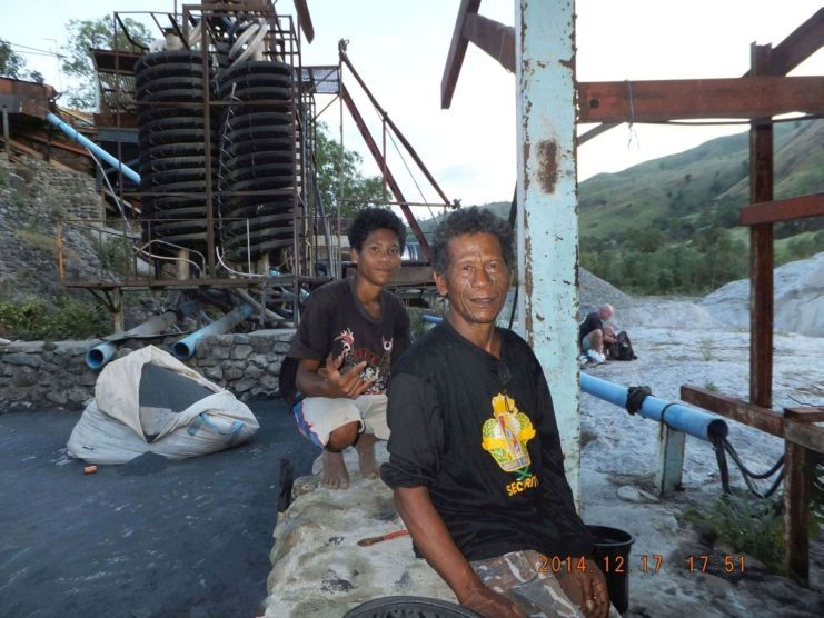
Y783. This is a black sand mine on the Maloma River, we got permission from the security guard to camp here; it is almost 6 pm and it will get dark soon. We have been moving now for 12 hours.
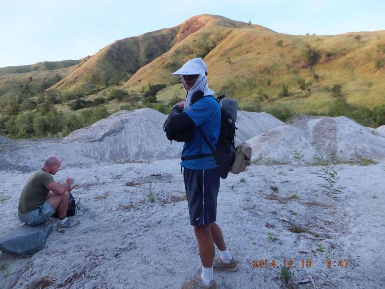
Y784. It is the Morning of the 18th Dec. 2014; we are getting ready to hit the road, upstream about 5 km, to the right cross the ridge to Santa Fe about 9 km and about 4 km more to the San Marcelino Dike.
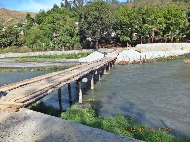
Y785. The last picture, this is the bridge over the Santa Fe River, we almost got it made. I already called my family to wait at the dike with the family car. A tough hike but we feel good about it, it makes us feel younger!!!!!
Y730. Here is the information of the author again