EXCURSIONS INTO THE PHILIPPINES
Jun 14, 2014 14:40:19 GMT 8
fireball, beirutvet, and 1 more like this
Post by Karl Welteke on Jun 14, 2014 14:40:19 GMT 8
I’m starting a new thread which is only partially related to Philippine-U.S. History, it is more like how the Philippines looks like today! But we went by many historical places!!!
CENTRAL LUZON 2014
Early this year because of visitors and regular family activities we got around Central Luzon and here are some pictures from this period. We went by many historical places!!!
You Know me, I established an album but it got 86 images (too many) but all the images have description, some are long (it’s a lot of work); here is the URL:
tinyurl.com/ne5x2cq
Here are some sample images:
Remember the pictures in the album are much larger!!!
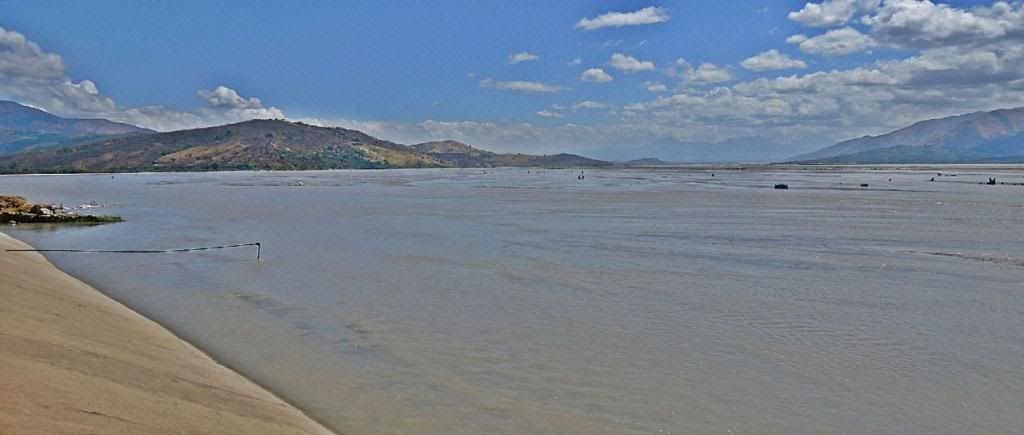
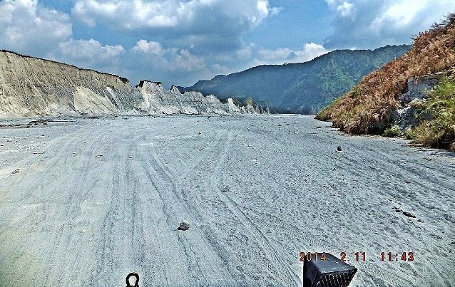
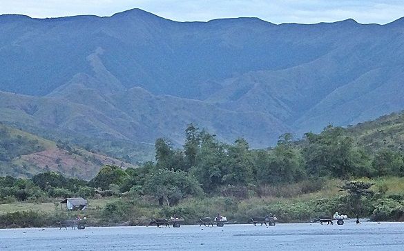
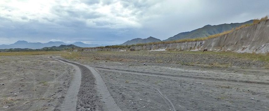
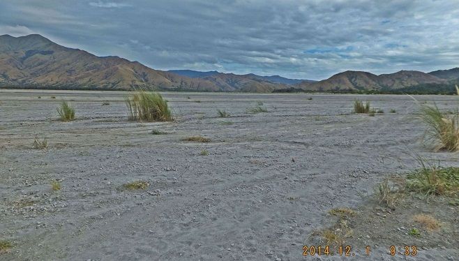
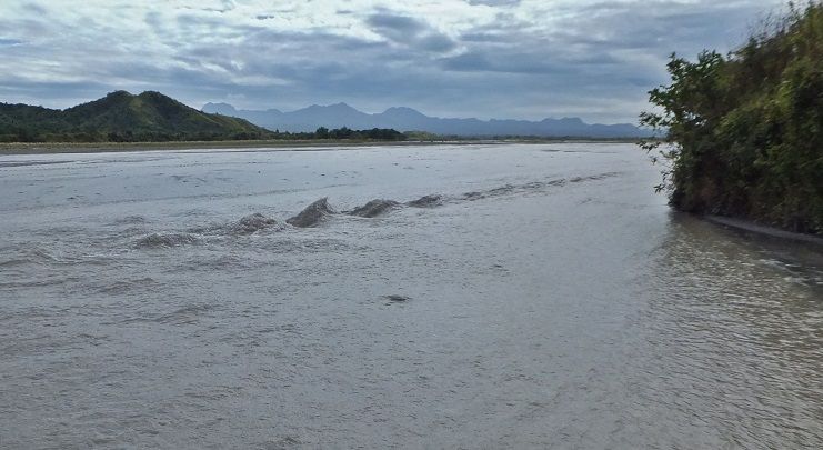
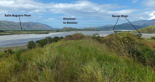
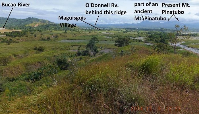
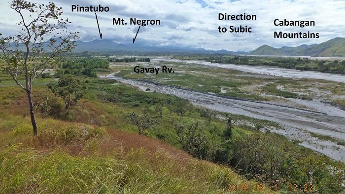
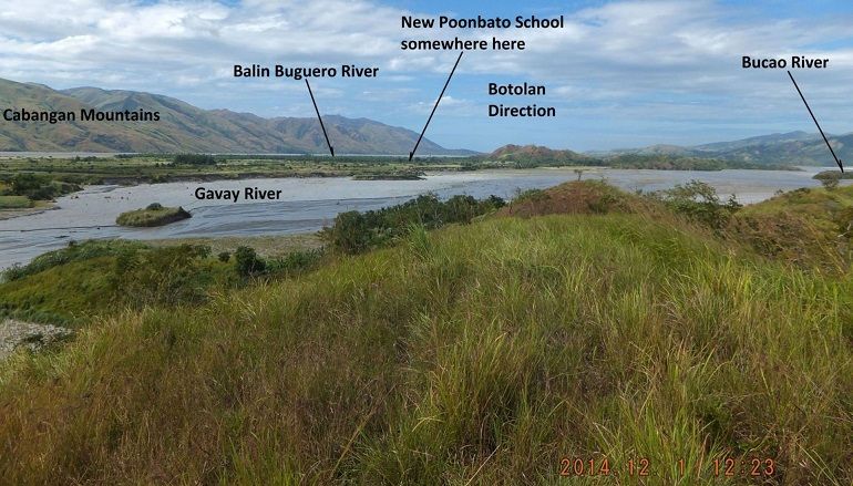
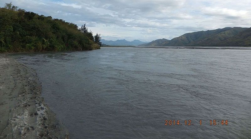
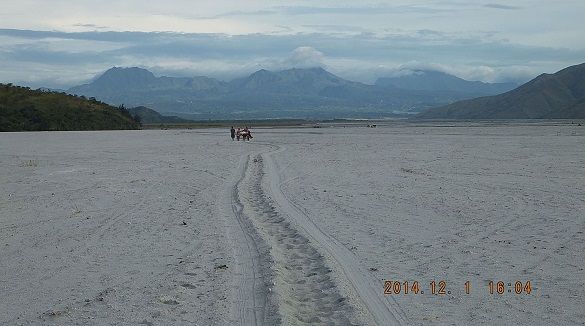
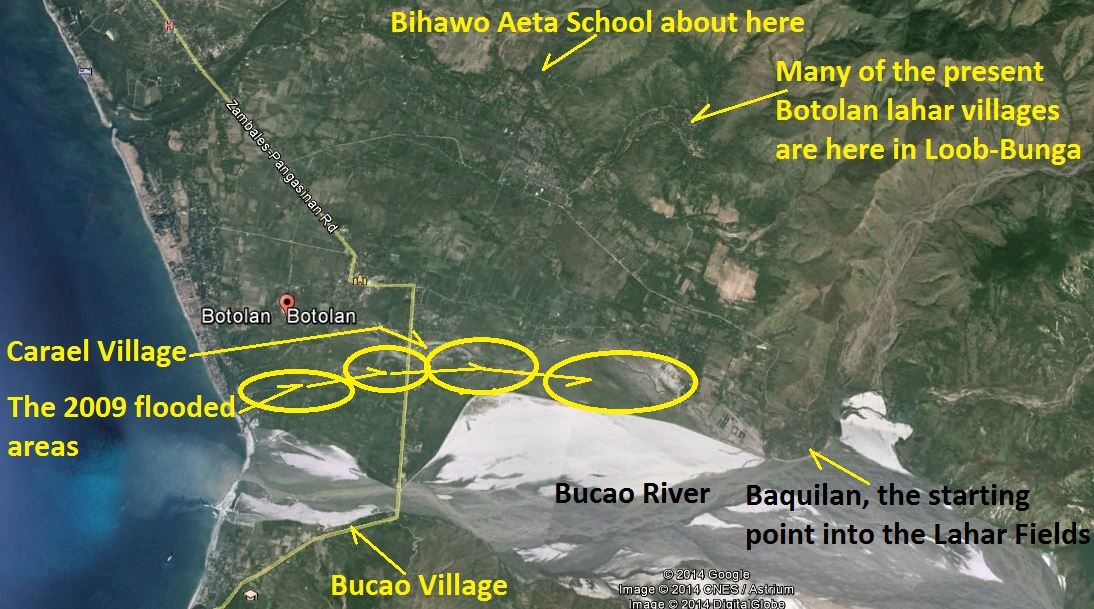
Z367-- 2014-02-06 Along the Bucao River, the biggest Mt. Pinatubo Lahar River, in Baquilan Resettlement Village, Botolan Town, looking towards Mt. Pinatubo volcano. In the distance are people gathering black sand by hand with the help of magnets. The far mountain peaks are of Mt. Pinatubo and Mt. Negros right of them. My German friend is astounded by the power of the Mt. Pinatubo eruption.
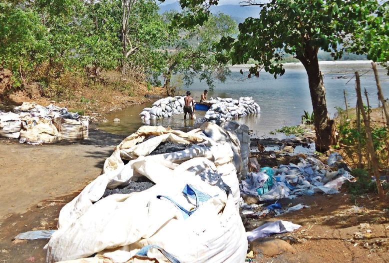
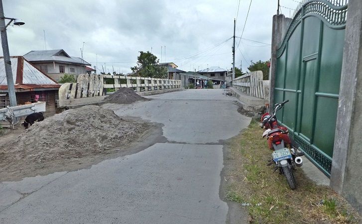
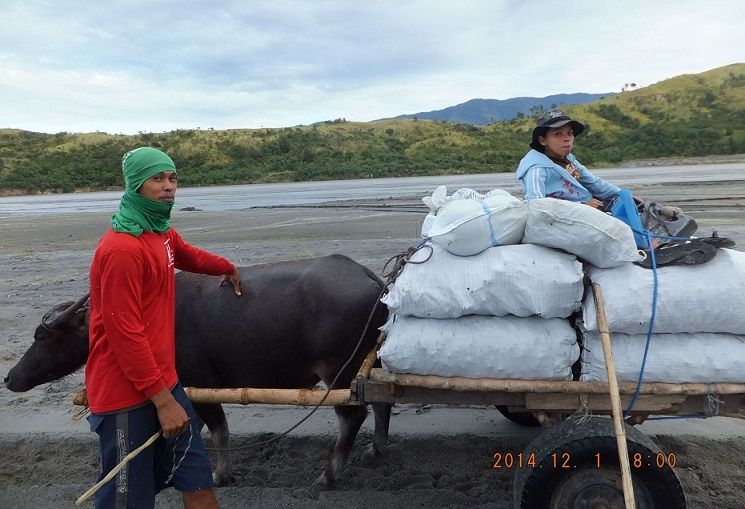
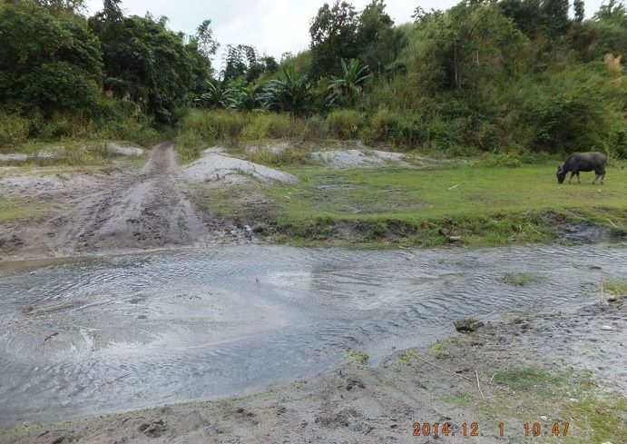
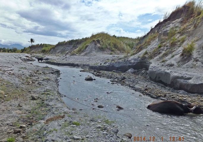
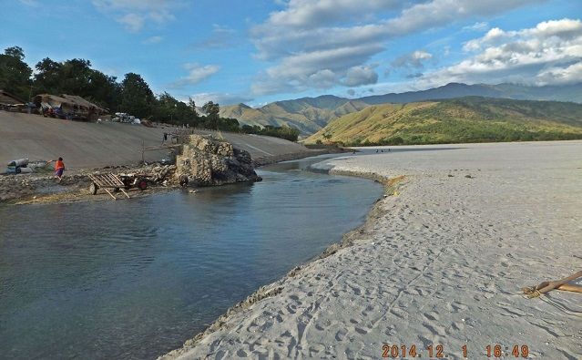
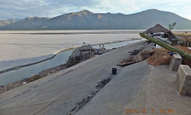
Z368-- Guess what is in those bags! It is called Black Sand. It is magnetic iron particles gathered by the locals with magnets by hand and is sold as iron ore. It is found in the Mt. Pinatubo ash sand. There is a bridge under the water, buried several meters of sand and water. This ramp went down to that bridge and was on the road to Caps which was completely destroyed by the Mt. Pinatubo eruption. I estimate that 70% of the Mt. Pinatubo ash went towards this direction and flows down river here. The ash raised the river bed by between 6 to 10 meter and blocked so all tributary rivers which formed lakes.
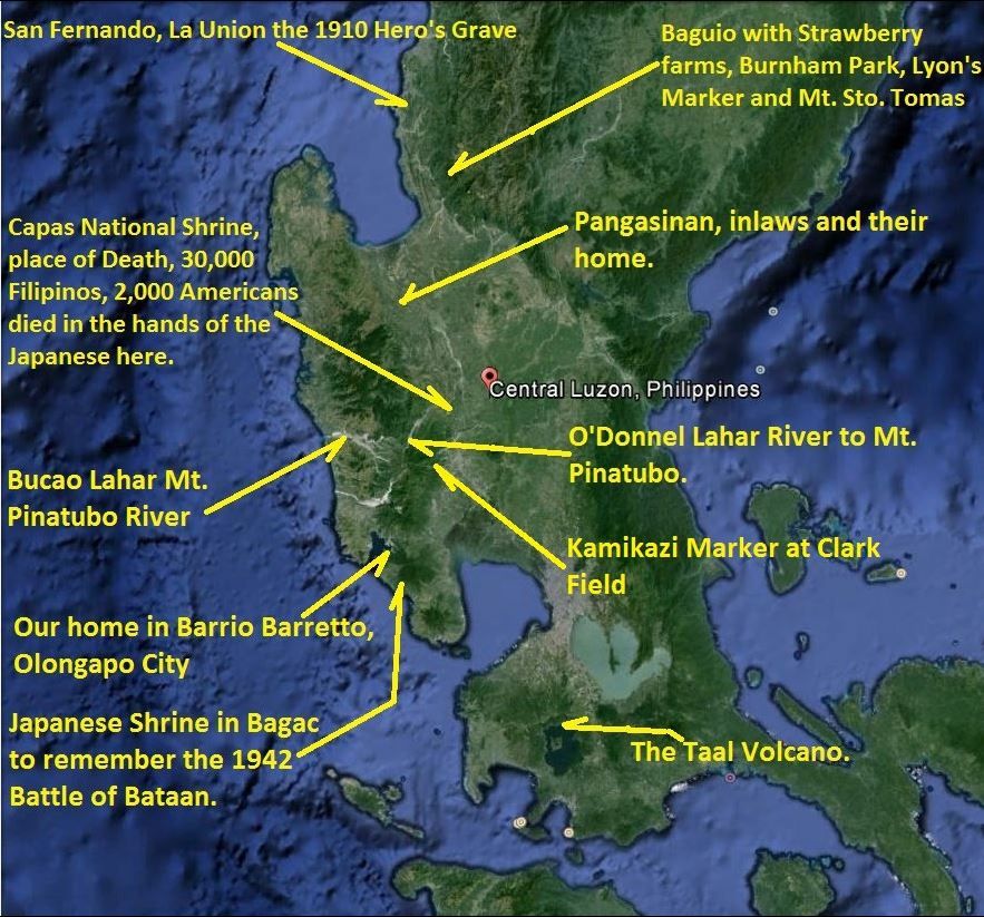
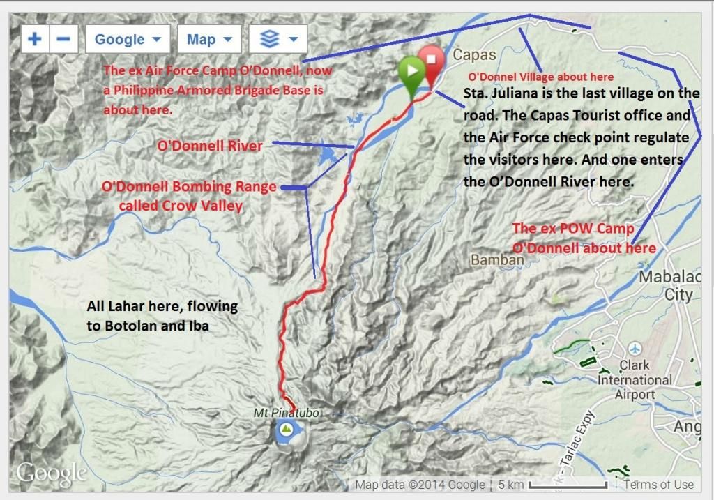
Z369-- On this Central Luzon map I marked all the areas we visited and have pictures of; which are presented in this album.
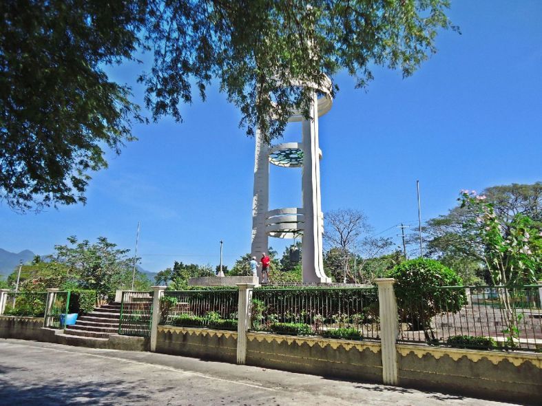
Z370-- 2014-02-07, we drove to Bataan, down the Bataan West Road and this WWII Japanese Memorial is located in the intersection of the Pilar-Bagac Road where it intersects with the Bataan West Road.
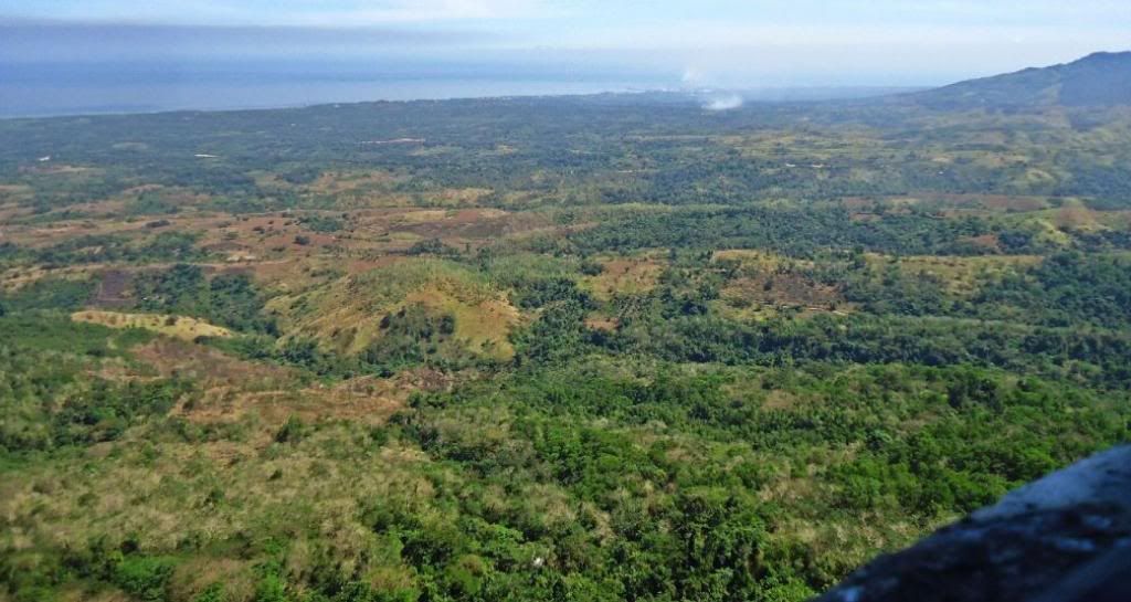
Z371-- 2014-02-07 We are on top of Mt. Samat, the site of the Bataan Battle and now the Mt. Samat Shrine; we are looking in the direction of the town of Limay. Bataan Battle trail #2 is across the first deep ravine.
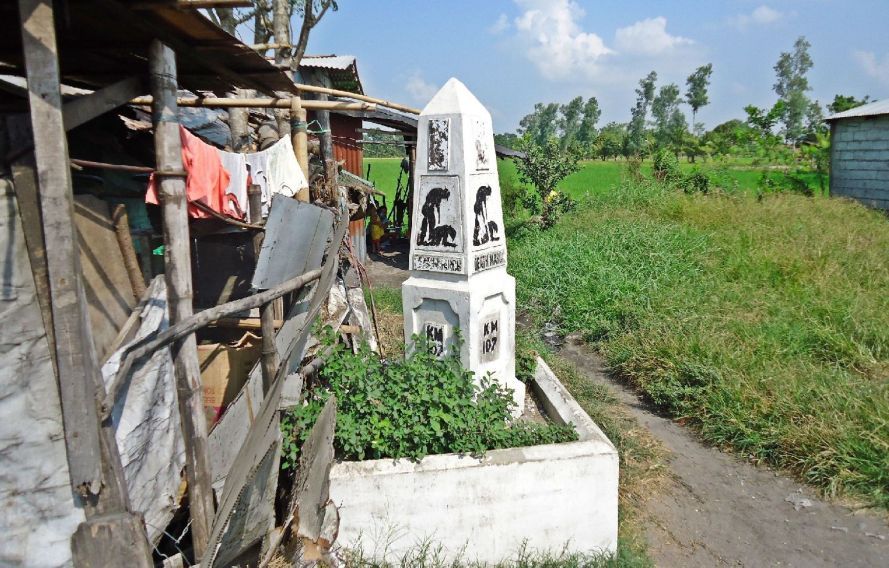
Z372-- I wanted to find the Death March Marker #107 which I had missed before. We found the Death March Marker #107 (DMM) it is the 2nd one from the Capas Rail Road Station. It may have been blocked by a parking car when I looked for it before, a few years ago.
DMM #107 does not look that good and squatters are encroaching. There are 7 DMMs from the Capas Rail Road Station to the Capas National Shrine from DMM #106 to DMM #112.
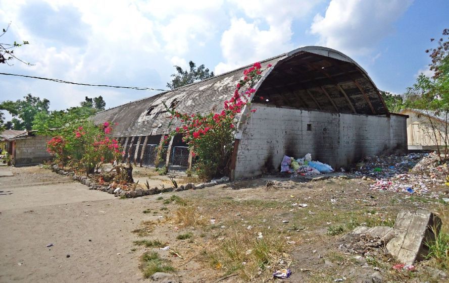
Z373-- 2014-02-07 across the street from the Capas National Shrine was the American section of Camp O’Donnell where the Imperial Japanese Army kept the Allied POWs under very inhumane conditions. That was the area of the famous cross. After 1945 the US Military regained control over the Camp O’Donnell area and the Navy built a communication transmitting facility and I’m searching for the actual area of the cross. This is a building left over from the Navy time. This is actually the 3rd time I visited the ex POW camp where the American POWs were kept for a few month and where about 2,000 American died. The ex Camp O’Donnell American POW section, later the Navy Transmitting Facility has become a very large resettlement area. The famous Cross was rescued by the equally famous Battling Bastards of Bataan (BBB) organization.
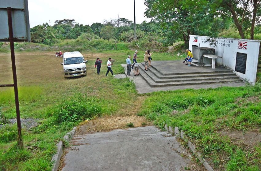
Z374-- In Oct. 1944 Gen. MacArthur returned to the Philippines and the Imperial Japanese Forces started their infamous Kamikaze program. Here in the former Clark Field is a tunnel and an information plaque re the Kamikaze.
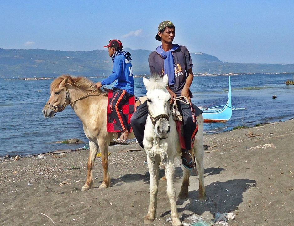
Z375-- 2014-02-13 We are on the volcano island in the big Taal Crater Lake. You can rent the horse and horse leader for 500 Peso but you still need a guide also and that is another 500 Peso.
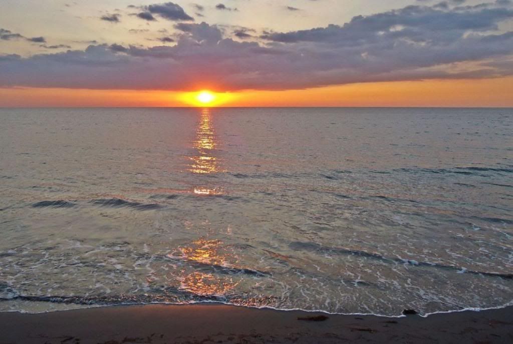
Z376-- 2014-02-17 We visited Bauang, just south of San Fernando, La Union; it was a hangout for the US Veterans because of the Wallace Air Base nearby and for people in Baguio who wanted to smell some ocean water. Well in Bauang one enjoys the beach, the ocean, the sunset and a cold beer.
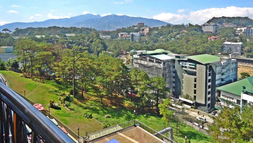
Z377-- 2014-02-18 In the center of Baguio is the SM (Shoe Mart) Mall, in the distance is the Santo Tomas Mountain, the highest peaks in Baguio and I wanted to go on top there.
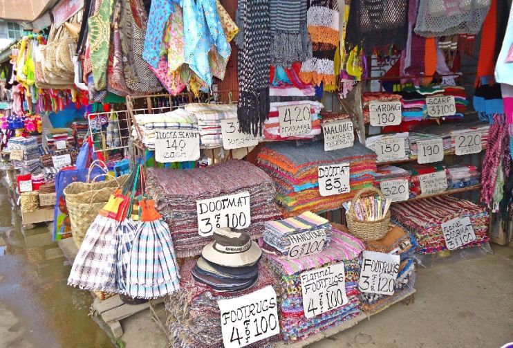
Z378-- 2014-02-18 We are at the Trinidad Strawberry Farms; besides the farms there is also a market and venders run around. It is easier to buy here because one can get here by car.

Z379-- 2014-02-18 We are at the Trinidad Strawberry Farms; besides the farms there is also a market and venders run around. It is easier to buy here because one can get here by car.
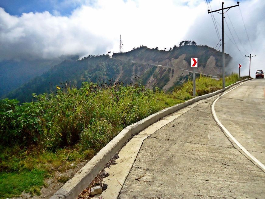
Z380-- 2014-02-18 Santo Tomas Mountain in Baguio. For a long time I wanted to go up this mountain, it is the highest point in Baguio; WWII fighting occurred here. A surprise, the road was recently completely concreted and one can drive all the way to the top.
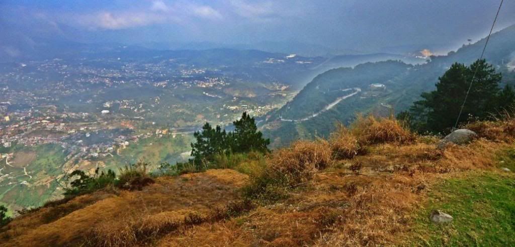
Z381-- 2014-02-18 A little above the middle of the picture is the Baguio airport, this view is from the Santo Tomas Mountain in Baguio. Some distance to the right from the airport is the Philippine Military Academy.
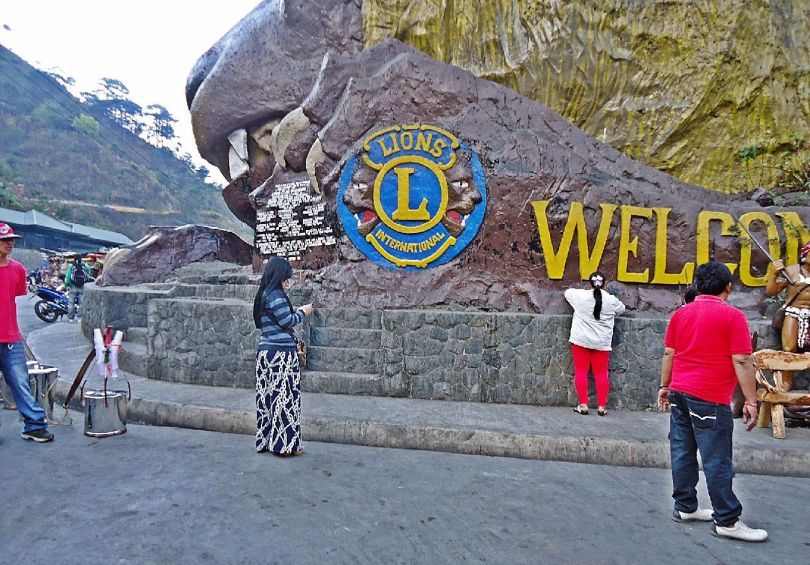
Z382-- 2014-02-19 Leaving Baguio City, going down the Kennon Road which is an interesting and historical Road. The Lions International organization built this organization marker and tourist spot on th e road.


