From Banaue thru Mt. Polis Pass to KP90.
On 21st March 2017, my friend Klaus and I left Banaue to reach the Mt. Data area. We had to go over the Mt. Polis Pass on the Banaue-Bontoc Road. Most pictures in this album are from the stretch from Mt. Polis Pass to near Bontoc. Only the last 7 images are from the Chico River and near Mt. Data.
I showed my friend part of the Cordillera but WWII History was on mind. KP90 (Kilometer Post # 90) was located at the intersection of the Cervantes to Buguias Road where it crossed the Baguio-Bontoc (Halsema Rd.).
I established this album in Photobucket with 61 images:
s74.photobucket.com/user/PI-Sailor/library/Philippines/Other%20Phil-Areas%20No%201/Baguio%20and%20north/Mt%20Polis%20Pass%202017-03-21?sort=9&page=1In this forum presentation I used a map and the below paragraphs from an U.S. Army publication because they awoke my interest to have a closer look at this WWII battle area and exciting mountain area views. This is the source:
Triumph in the Philippines, by Robert Ross Smith. OFFICE OF THE CHIEF OF MILITARY HISTORY. DEPARTMENT OF THE ARMY. WASHINGTON, D.C., 1993. Chapter XXIX, Pursuit in Northern Luzon.
www.ibiblio.org/hyperwar/USA/USA-P-Triumph/USA-P-Triumph-29.htmlFinal Operations in Northern Luzon
XIV Corps plans for operations against the remainder of the Shobu Group differed only in detail from those I Corps had previously employed. Reduced to their simplest terms, both sets of plans called for the exertion of unremitting pressure against the Shobu Group wherever Shobu Group troops were to be found.
East of the Cagayan River the 37th Division, and for a time a regiment of the 6th Division, hampered by supply problems and torrential rains, patrolled vigorously, forcing Japanese troops ever farther into the Sierra Madre. From 1 July through 15 August the 37th Division and attached units killed about 1,000 Japanese east of the Cagayan, itself losing approximately 50 men killed and 125 wounded.
On the northwest and west, opposition was stronger and better organized. Here the 15th Infantry, USAFIP(NL), finally secured the Sabangan junction of Routes 4 and 11 on 9 July, and on the next day the 11th Infantry occupied Bontoc. The 19th Division's defenses in the Lepanto Mines-Mankayan area began to fall apart before attacks of the 66th Infantry, USAFIP(NL), on 10 July; Mankayan fell on the 20th. The 66th Infantry secured the junction of Routes 11 and 393 at KP 90 on 25 July, making contact the same day with troops of the 15th Infantry coming down Route 11 from Sabangan. The 19th Division now began withdrawing into the upper Agno Valley to block the northern, western, and southern approaches to Toccucan, at the western end of Yamashita's last-stand area in the Asin Valley. (Map 26) The 15th and 121st Regiments, USAFIP(NL), immediately began attacks toward Toccucan, but found the 19th Division remnants still capable of effective resistance. By 15 August the USAFIP(NL)'s leading units were four miles short of Toccucan on the northwest and a mile and a half short on the west.
Meanwhile, the 66th Infantry, USAFIP(NL), had struck south from KP 90 along Route 11 to make contact with troops of the 32d Division, coming north from KP 21. The clearing of Route 11 north from Baguio had become a matter of pressing urgency because the heavy summer rains were making it nearly impossible to supply the USAFIP(NL) either by airdrop or over tortuous Route 4 from the west coast. Mixed forces of the 58th IMB and the 19th Division held along Route 11, their principal defenses located in the vicinity of Gambang, about five miles south of KP 90. Here, on 29 July, the 66th Infantry, USAFIP(NL), and the 127th Infantry, 32d Division, finally made contact.
Here are 16 sample images, they are smaller than in the album above and even reduced the maps about to 70%:
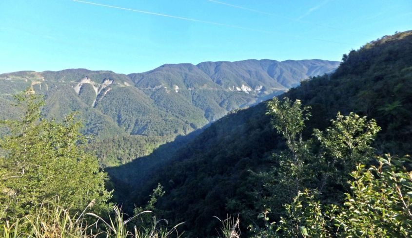
Z052. One of 10 images of a large valley, between the Banaue area and the Mt. Polis Pass, my friend Klaus and I were driving 2017-03-21 from Banaue to Mt. Data on the Halsema Road via Bontoc. The Mt. Polis Pass is in sight.
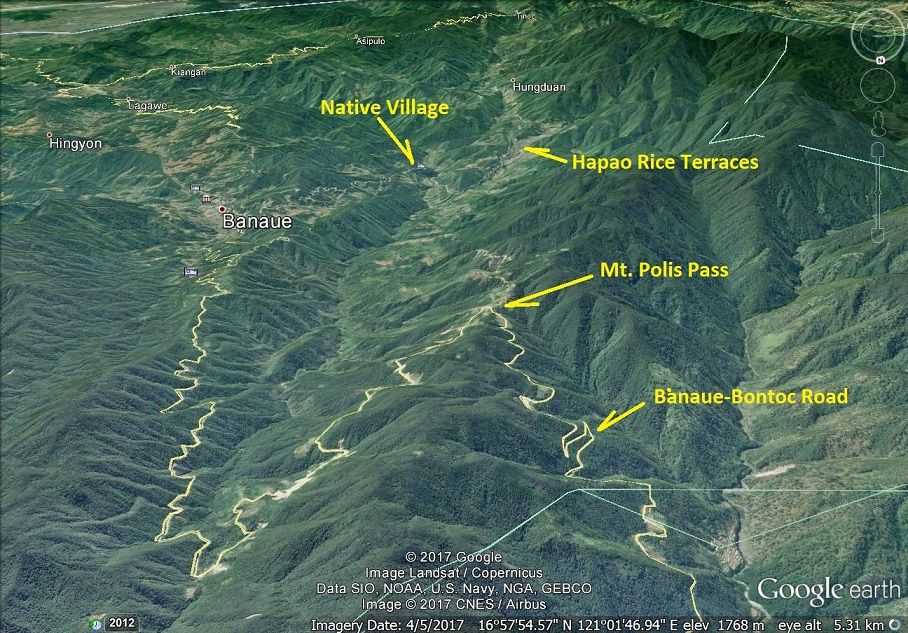
Z053. Thank you Google Earth, this shows the beginning of our route. This great valley must be the Asin River Valley that is mentioned in Triumph in the Philippines. I have not found that name on the maps yet.
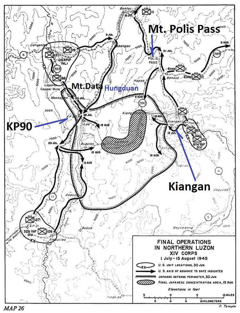
Z054. This map is from:
Triumph in the Philippines, by Robert Ross Smith. OFFICE OF THE CHIEF OF MILITARY HISTORY. DEPARTMENT OF THE ARMY. WASHINGTON, D.C., 1993. Chapter XXIX, Pursuit in Northern Luzon.
www.ibiblio.org/hyperwar/USA/USA-P-Triumph/USA-P-Triumph-29.html 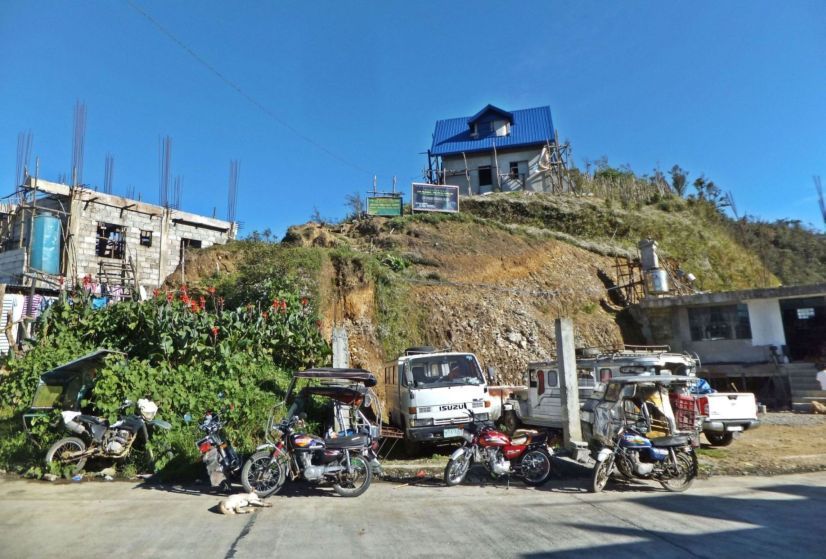
Z055. One of 14 images at the Mt. Polis Pass, I had a special interest in this pass, troops of the 11th Infantry, USAFIP(NL), had started south along Route 4 from Bontoc and on 21 July made contact with the 1st Infantry, 6th Division, at Polis Pass.
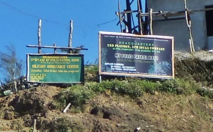
Z056. One of 14 images at the Mt. Polis Pass, I had a special interest in this pass, troops of the 11th Infantry, USAFIP(NL), had started south along Route 4 from Bontoc and on 21 July made contact with the 1st Infantry, 6th Division, at Polis Pass.
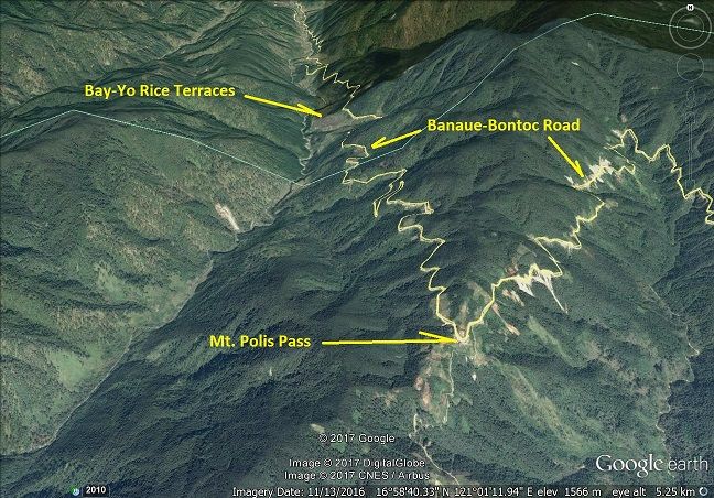
Z057. One of 15 images of our descend from the Mt. Polis pass towards Bontoc, passed the Bay-Yo rice terraces. Troops of the 11th Infantry, USAFIP(NL), had started south along Route 4 from Bontoc and reached Mt. Polis Pass on 21 July 1945.
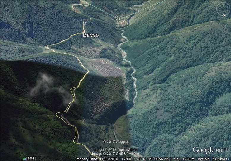
Z058. One of 15 images of our descend from the Mt. Polis pass towards Bontoc, passed the Bay-Yo rice terraces. Troops of the 11th Infantry, USAFIP(NL), had started south along Route 4 from Bontoc and reached Mt. Polis Pass on 21 July 1945.
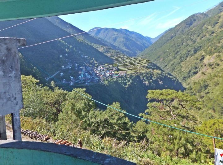
Z059. One of 15 images of our descend from the Mt. Polis pass towards Bontoc, passed the Bay-Yo rice terraces. Troops of the 11th Infantry, USAFIP(NL), had started south along Route 4 from Bontoc and reached Mt. Polis Pass on 21 July 1945.
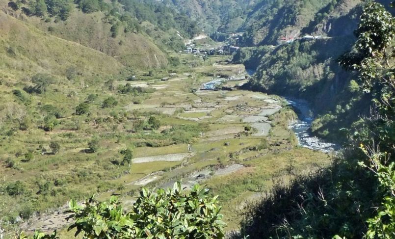
Z060. One of 16 images of our descend towards Bontoc, we passed the branch off road to Barlig and Paracelis in the town of Talubin. Troops of the 11th Infantry, USAFIP(NL), had started south along Route 4 from Bontoc; reached Mt. Polis Pass on 21 July 1945.
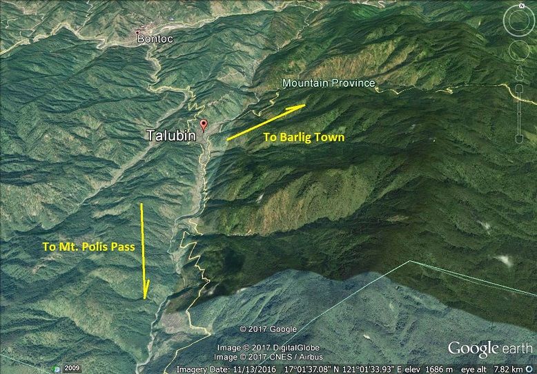
Z061. One of 16 images of our descend towards Bontoc, we passed the branch off road to Barlig and Paracelis in the town of Talubin. Troops of the 11th Infantry, USAFIP(NL), had started south along Route 4 from Bontoc; reached Mt. Polis Pass on 21 July 1945.
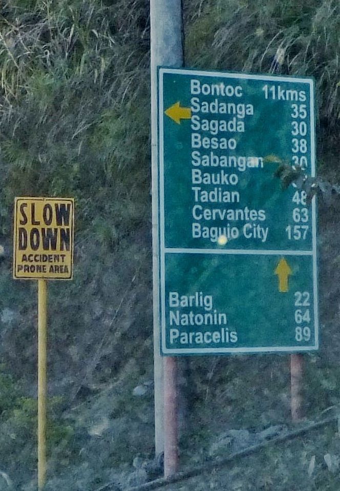
Z062. One of 16 images of our descend towards Bontoc, we passed the branch off road to Barlig and Paracelis in the town of Talubin. Troops of the 11th Infantry, USAFIP(NL), had started south along Route 4 from Bontoc; reached Mt. Polis Pass on 21 July 1945.
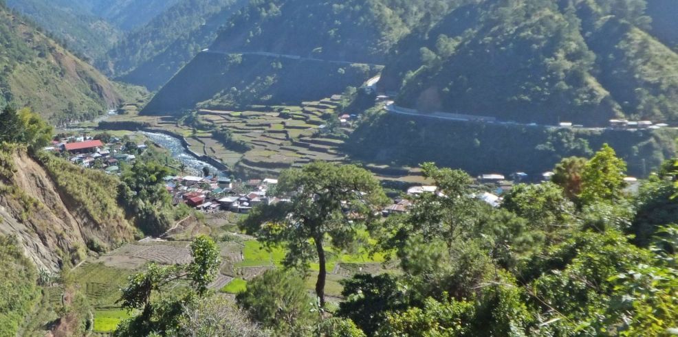
Z063. One of 16 images of our descend towards Bontoc, we passed the branch off road to Barlig and Paracelis in the town of Talubin. Troops of the 11th Infantry, USAFIP(NL), had started south along Route 4 from Bontoc; reached Mt. Polis Pass on 21 July 1945.
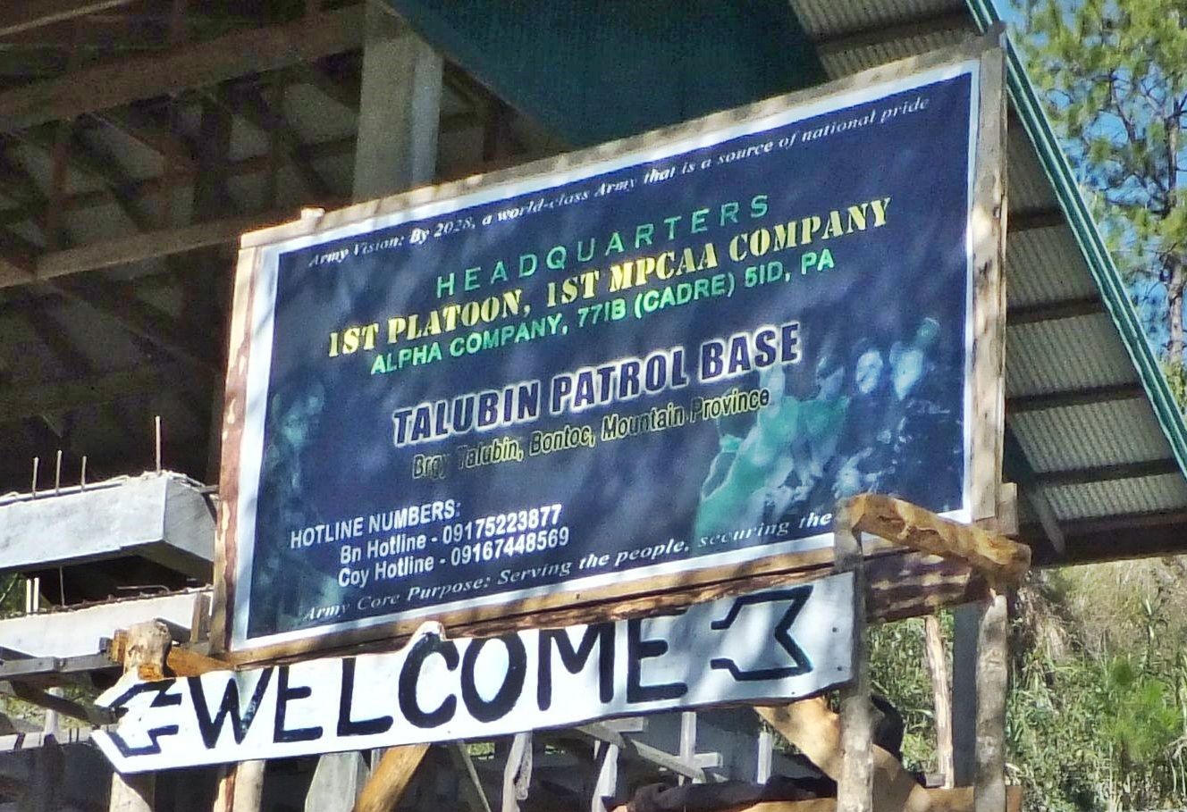
Z064. One of 16 images of our descend towards Bontoc, we passed the branch off road to Barlig and Paracelis in the town of Talubin. Troops of the 11th Infantry, USAFIP(NL), had started south along Route 4 from Bontoc; reached Mt. Polis Pass on 21 July 1945.
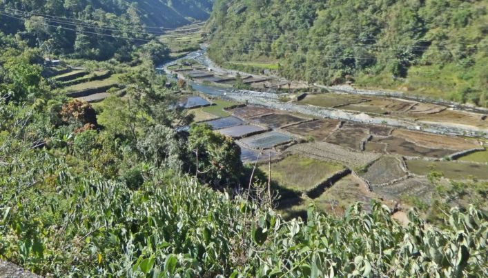
Z065. One of 16 images of our descend towards Bontoc, we passed the branch off road to Barlig and Paracelis in the town of Talubin. Troops of the 11th Infantry, USAFIP(NL), had started south along Route 4 from Bontoc; reached Mt. Polis Pass on 21 July 1945.
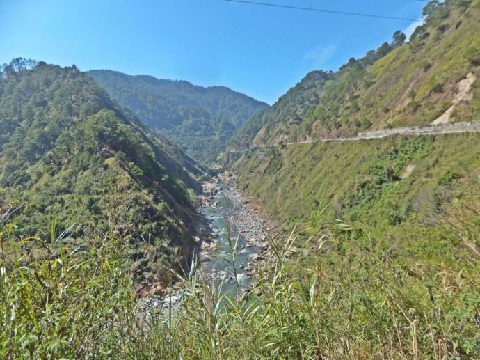
Z066. One of three images of the Chico River, upstream, not far from Bontoc, 2017-03-21. We came from Banaue, passed thru Bontoc without stopping and wanted to reach the WWII site of KP90 (Kilometer Post #90), just passed Mt. Data.
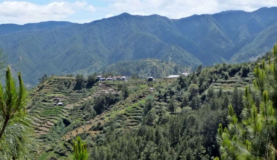
Z067. One of three images at the general Mt. Data area; I don’t remember where this was exactly but is near Mt. Data and near the WWII site of KP90 (Kilometer Post #90). Refer to my US Gov. WWII map earlier in this album.