A seldom visited part of Corregidor is the area along the southern shoreline between Wheeler Point and Geary Point. The difficult terrain has a lot to do with this. There is no longer any road cleared so you have to navigate steep ravines and rocky shores. The scenery is very nice though.
Getting there on a boat is by far the easiest way but tourists are charged a ridiculous price for the trip. Walking down Crockett Ravine is another option however you had better be prepared to expend lots of energy. It is not excessively steep but if you are careful, it can be done with no problems.
On one of our trips to Corregidor, Karl and I decided to visit the old fortifications and searchlight positions between Searchlight and Geary Points. We wondered if we could walk along the southern shoreline from Bottomside all the way to Geary Point at low tide. Both of us had done most of this route in the past but had never tried going the whole way. Well, we made it to within sight of Geary Point but to go further would involve wading through deep water or even swimming. We were not prepared to risk our gear getting wet so we detoured to explore other areas that day. Tomorrow we would get there via Crockett Ravine.
Early the next morning we bummed a ride to Topside and started our walk from the old Spanish Flagpole. We made our way down the ravine to the stream at the bottom then followed it to the shoreline. Near the shoreline, the vines and thorns are extremely thick to get through. A short section was done on our hands and knees. The day went well and we saw everything that we had planned to see.
One thing was unusual. Karl negotiated a boat ride for us back to Bottomside from a local fisherman who had come ashore to cook his lunch; this option we had never tried before. A few additional photos were taken from the boat.
Here are photos of this area taken both days which will complete my views of the western coastline of Corregidor.
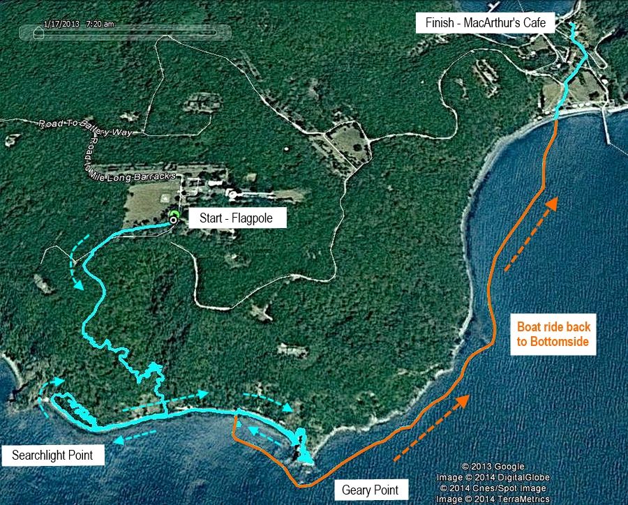
Google satellite photo of the areas covered in this report. The blue and orange lines are GPS tracks of our travels on the second day.
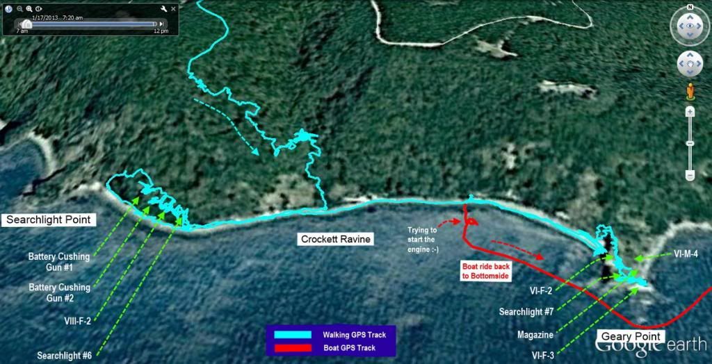
Zoomed view of the area between Searchlight and Geary Points.
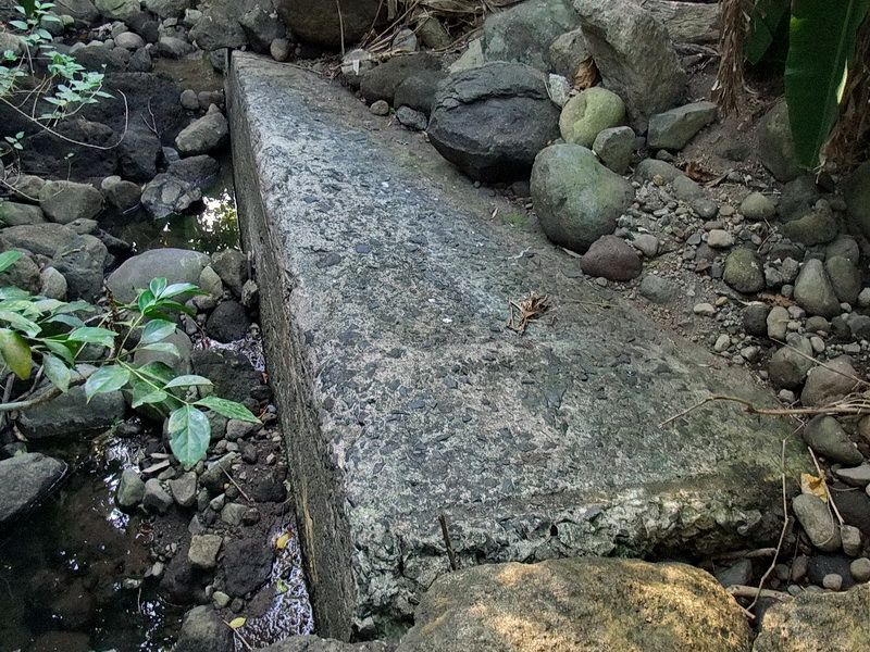
Not far above the shoreline, we crossed what remains of the South Shore Road. This nearly buried slab of concrete is part of the road crossing. There has been a lot of erosion here.
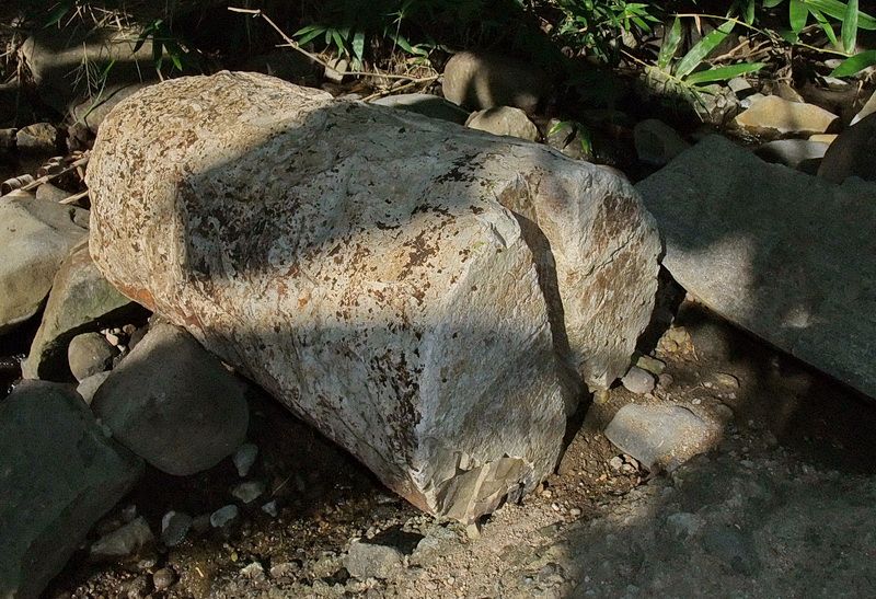
Further down in the stream bed was this circular chunk of concrete. Note the notch in one end. I have seen another one of these things but I do not know what they were used for.
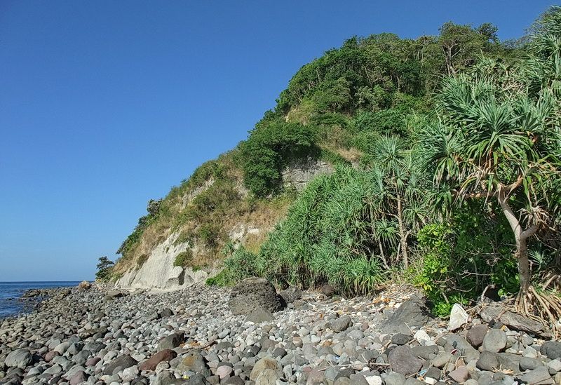
Finally, at the mouth of Crockett Ravine we are looking west.
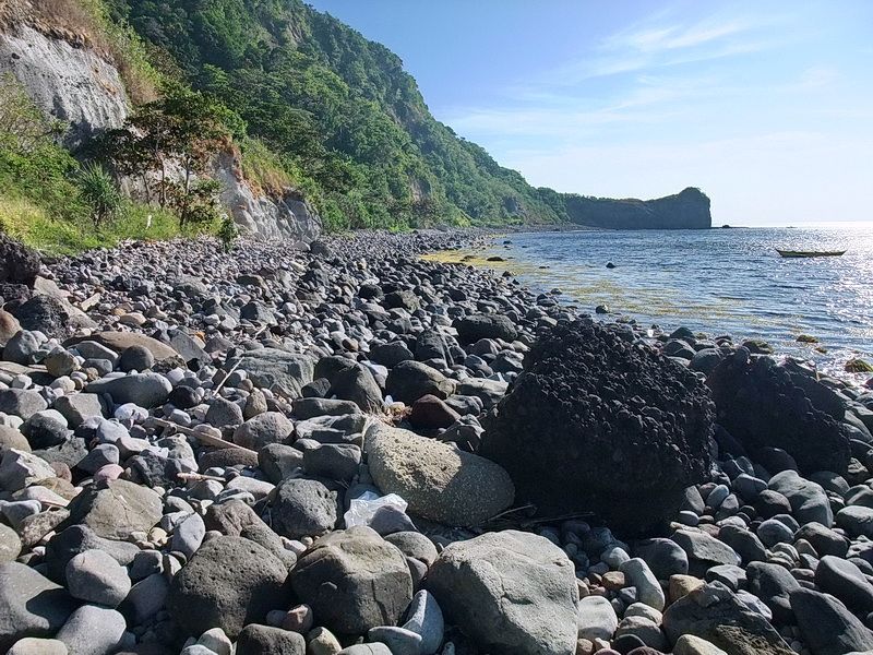
At the same location looking east towards Geary Point.
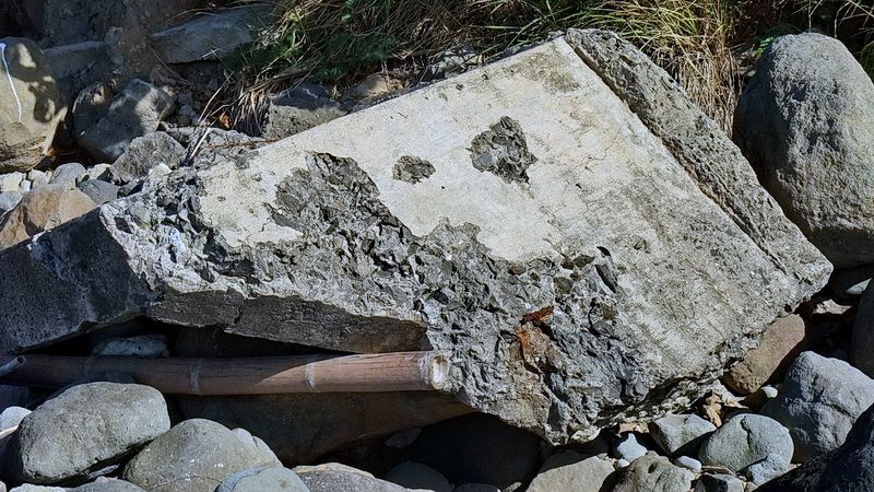
We decided to head towards Battery Cushing first. Along the way we saw various pieces of concrete lying on the beach. This may very well be remnants of VIII-F-2 which has fallen over the cliff.
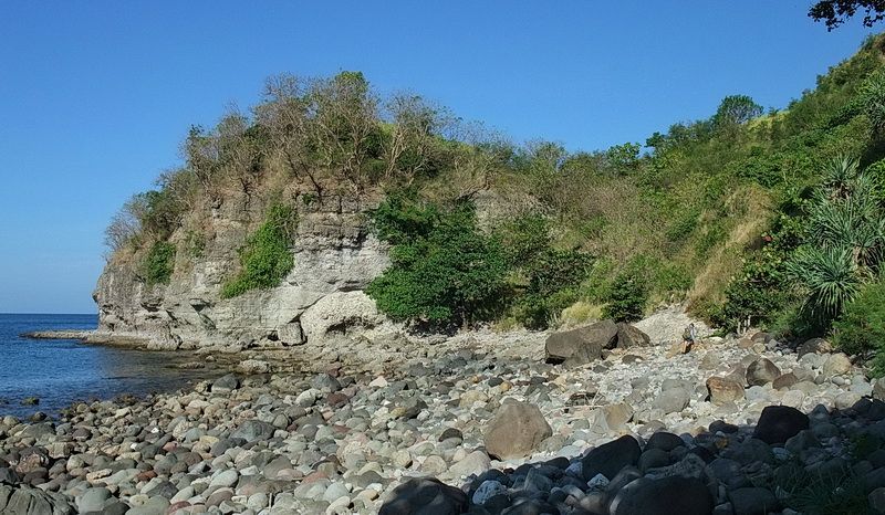
Approaching Searchlight Point. Searchlight #5 is up there but we will skip it today as we have both seen it before.
Before reaching Searchlight Point, we find an easy way to get up the cliff as we head toward Battery Cushing. This battery had two 3-inch Rapid Fire Coastal Defense guns on pedestal mounts. The purpose of this battery was for the defense of Searchlights #5 and #6. I was surprised to find the South Shore Road that ran behind the battery to be in good shape.
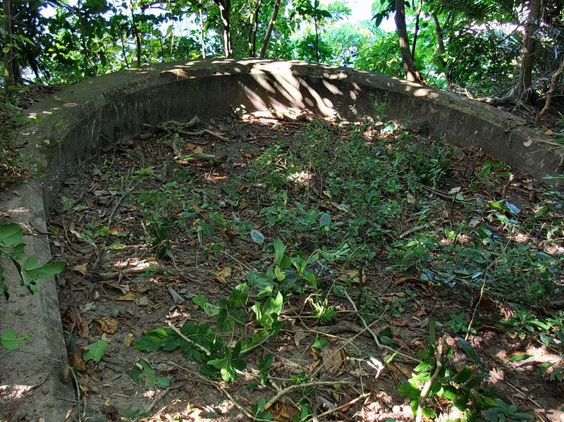
Above the cliff sits Battery Cushing Gun #1 position. Karl and his bolo cleaned it out quite well or you would see nothing but bushes.
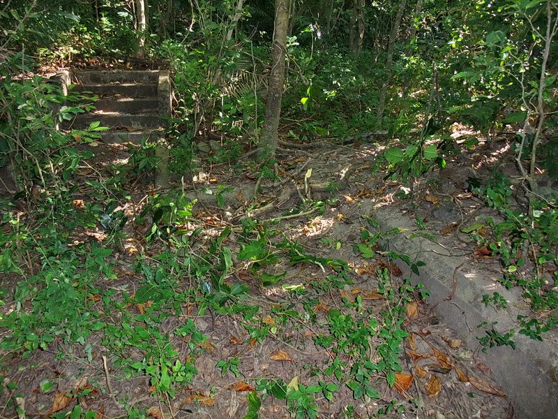
At the rear is a nice set of steps coming down into the position.
Battery Cushing Gun #2 is more exposed than Gun #1 due to erosion. Today it sits partially over the cliff and may end up down on the shore in the future.
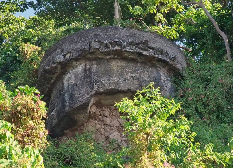
Looking up at Battery Cushing Gun #2 position.
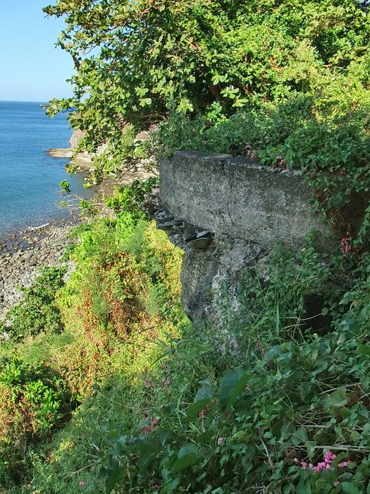
The cliff is disappearing around this position.
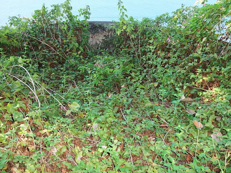
The front of Battery Cushing Gun #2 position.
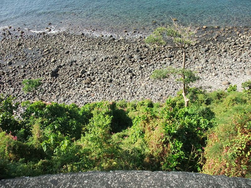
Looking down to the shoreline.
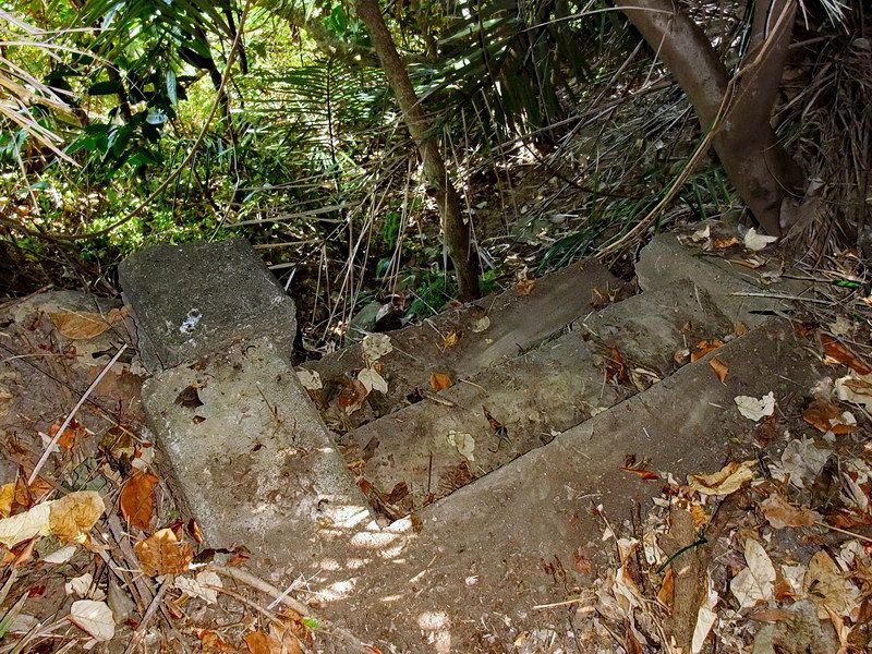
What remains of VIII-F-2. This Field Gun position has already fallen down over the cliff. The position broke away from the rear set of steps which is now the only evidence that it ever existed.
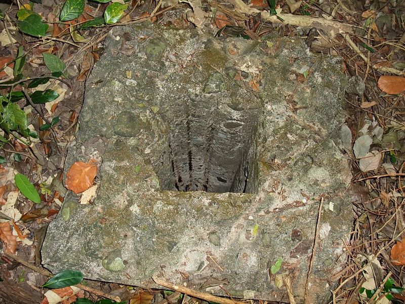
The damaged air vent above Searchlight #6.
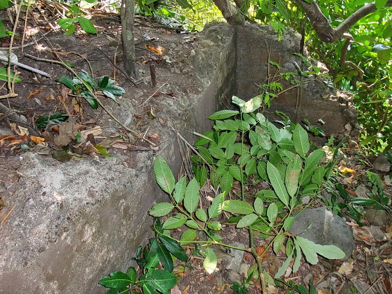
Above the cliff we see a corner of the ramp where the searchlight would have been rolled out to when in operation.
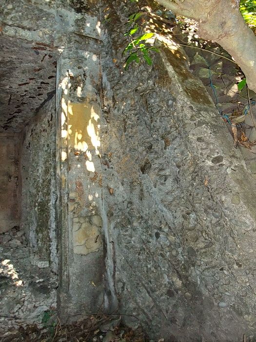
The doorway to Searchlight #6.
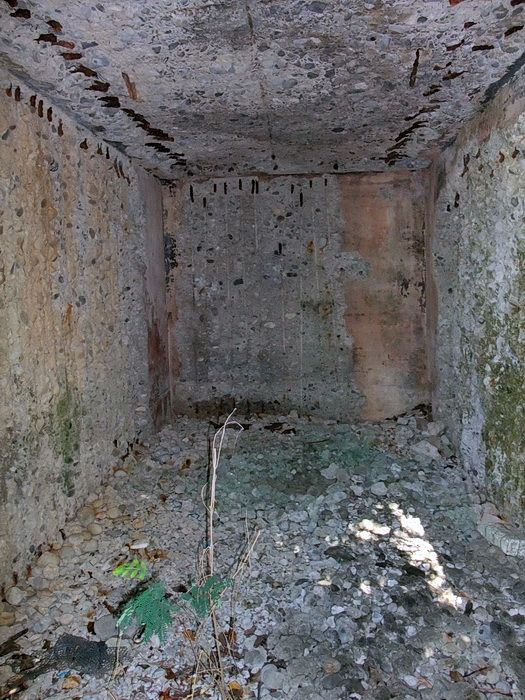
The interior to Searchlight #6 shelter. Scrappers after the steel rebar have been at work here in the past.
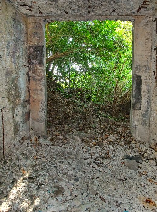
Looking back out the door of Searchlight #6.
After seeing Searchlight #6 I made my way down the cliff and we headed east along the shoreline to Geary Point. This is like walking on huge marbles as there is no sandy beach at all.
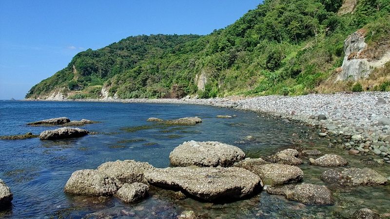
Here I am at the base of Geary Point and looking along the shoreline where we have just traveled.
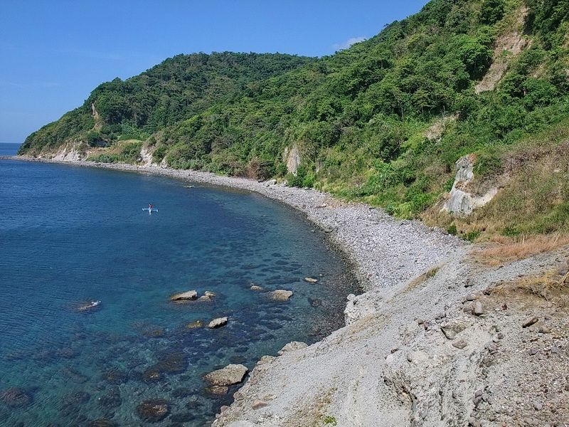
Same view but now I am on top of the Geary Point cliffs.
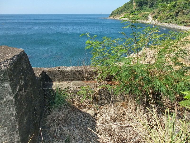
On this side of Geary Point is VI-F-2. This is the Field Gun #2 position.
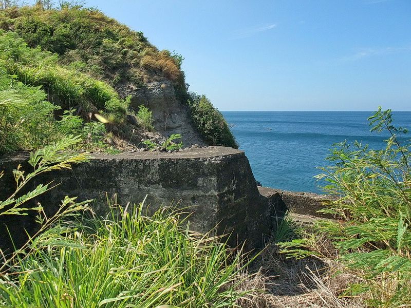
Also a view of the Gun #2 position but showing Geary Point.
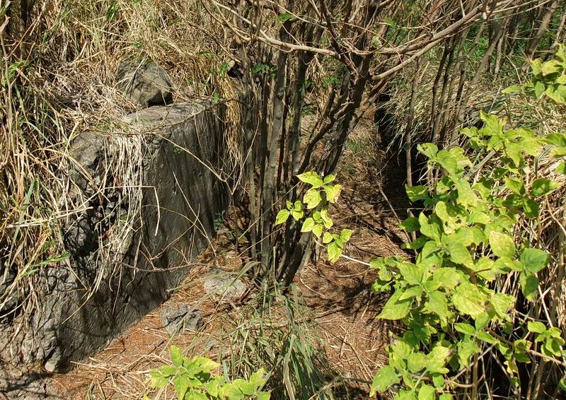
A long concrete lined walkway connects the two gun positions.
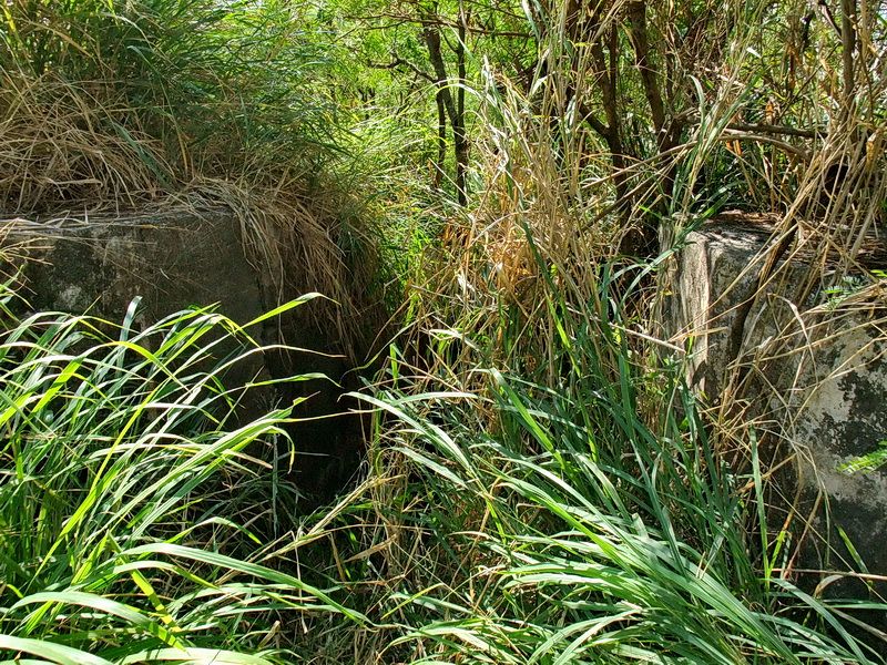
The other end of the walkway over by the Gun #1 position.
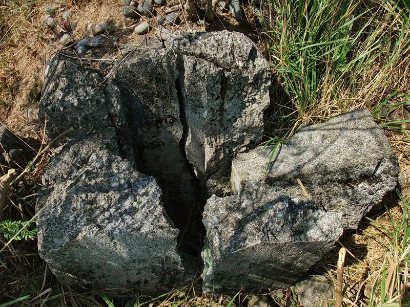
The damaged air vent above Searchlight #7.
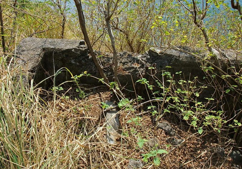
Part of the ramp at the front of the searchlight position.
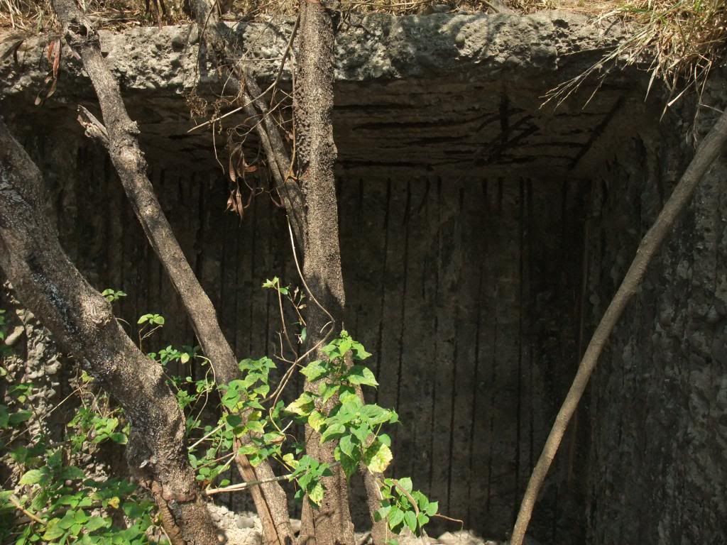
The entrance to Searchlight #7 is quite damaged.
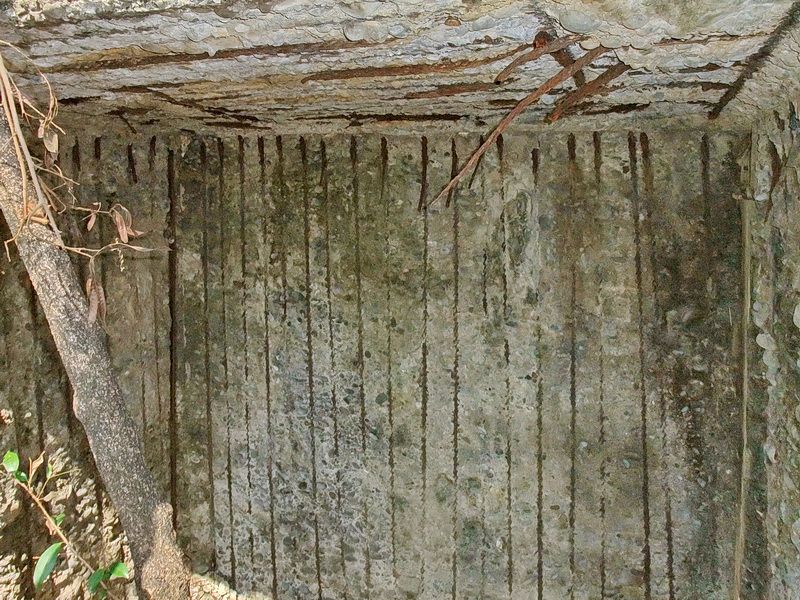
Interior of the shelter. Scrappers have targeted this place too.
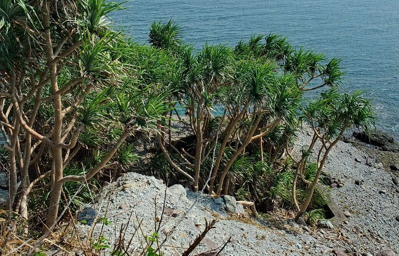
Looking down at a field gun position known as VI-F-3.
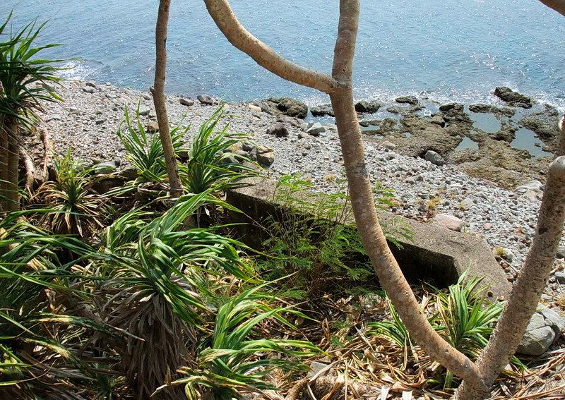
VI-F-3.
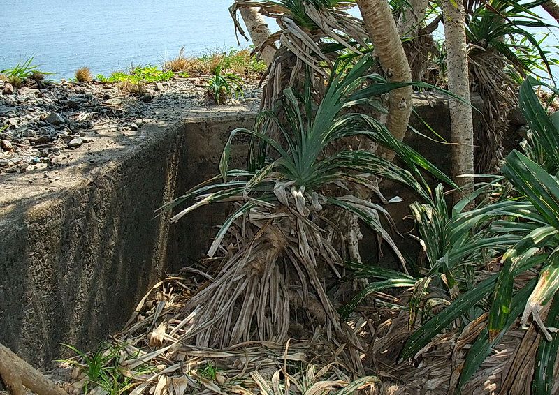
VI-F-3.
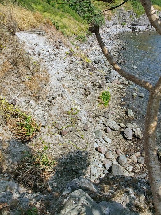
From VI-F-3, you can look across the cliff and see what remains of machine gun position VI-M-4. Look near the upper left corner of the photo to see a horizontal piece of grey concrete. This position is mostly gone now.
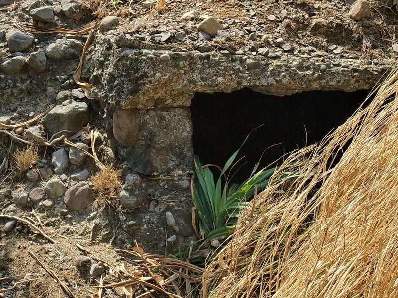
Hidden in a little ravine between these two positions is an underground magazine. The entrance is difficult to see until you are close to it.
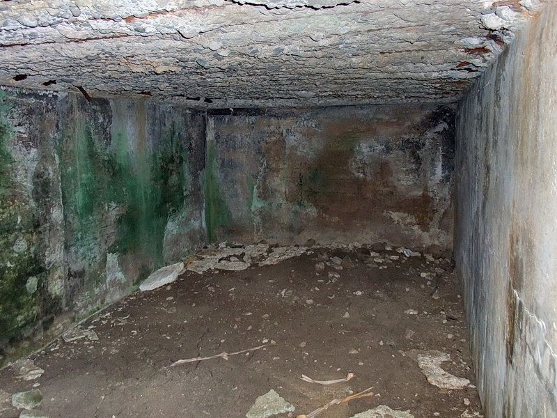
The interior of this magazine.
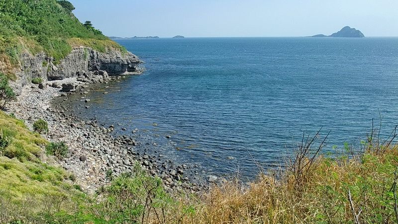
From Geary Point looking east you can see the tail of Corregidor and Caballo Island.
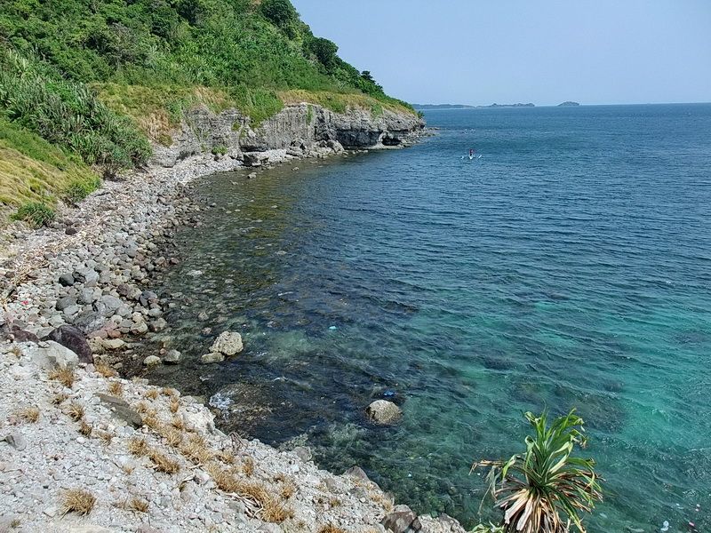
The stretch of shoreline just east of Geary Point. Note the horizontal cut in the hillside seen just above the cliff. This is the South Shore Road which is impassible in many locations these days.
When finished on Geary Point we headed home. Karl had arranged transportation an hour or so earlier so we boarded a boat to take us to Bottomside. A cool drink at MacArthur’s Cafe would be much sooner today than it usually is.
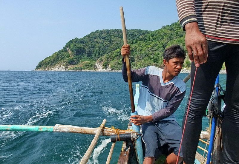
Our captain has his finger on the throttle cord while junior keeps us afloat.
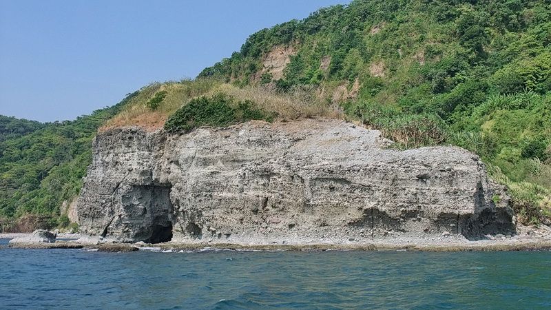
The view of Geary Point as we are heading back to Bottomside.
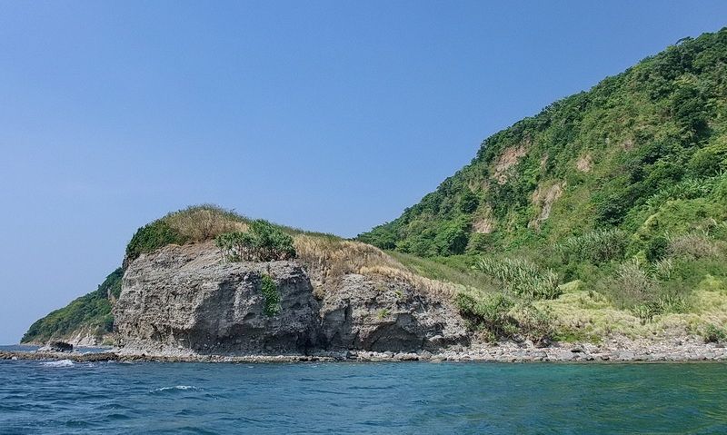
Geary Point.
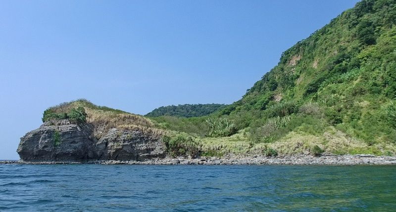
Geary Point.
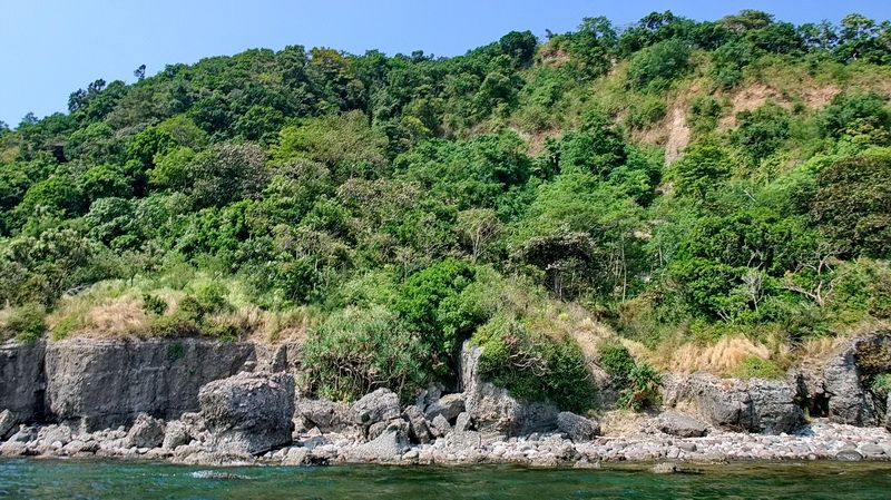
The shoreline between Geary Point and Breakwater Point.
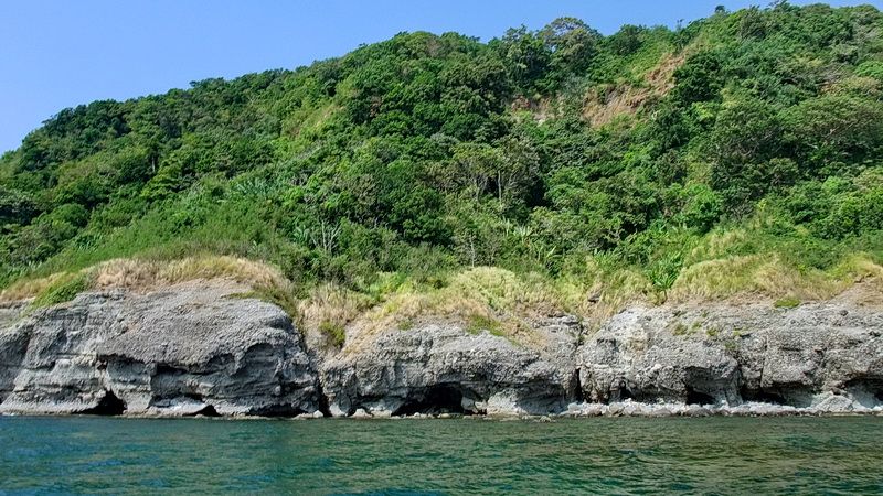
Another view of this shoreline.
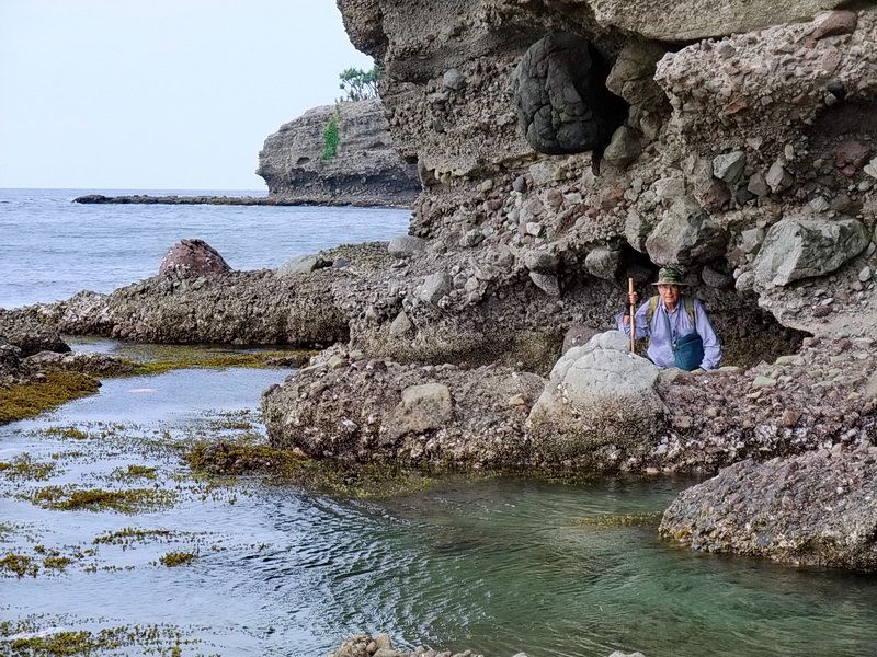
So how far did we get walking along here the day before? Quite close actually. Karl is standing where we decided to turn around. Geary Point is just around the corner but to get there would probably require swimming.
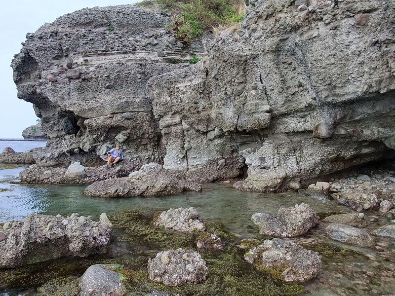
Karl on the way back.
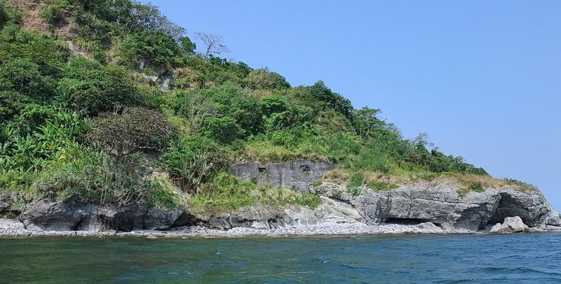
Approaching Breakwater Point.
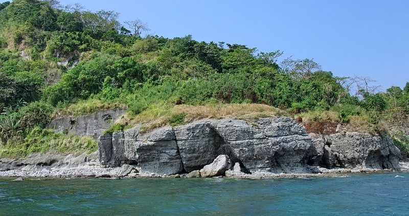
Directly in front of Breakwater Point. The concrete wall to the left is an embankment for the South Shore Road.
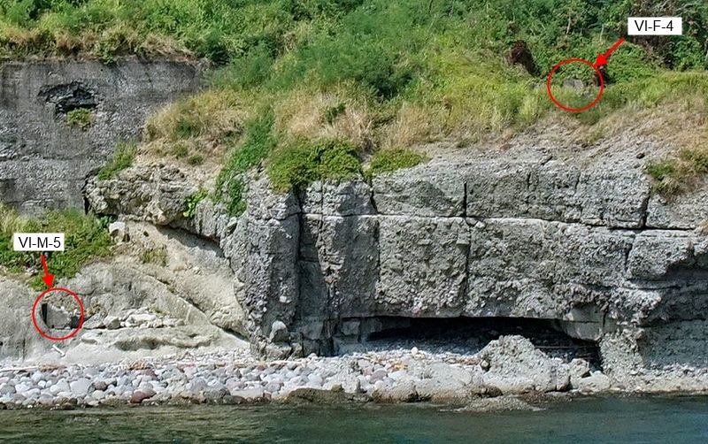
Breakwater Point also has defensive positions. A destroyed machine gun position (VI-M-5) is just above the shoreline and a two-gun field gun position (VI-F-4) is on top of the Point. The field gun position is mostly grass covered but still intact.
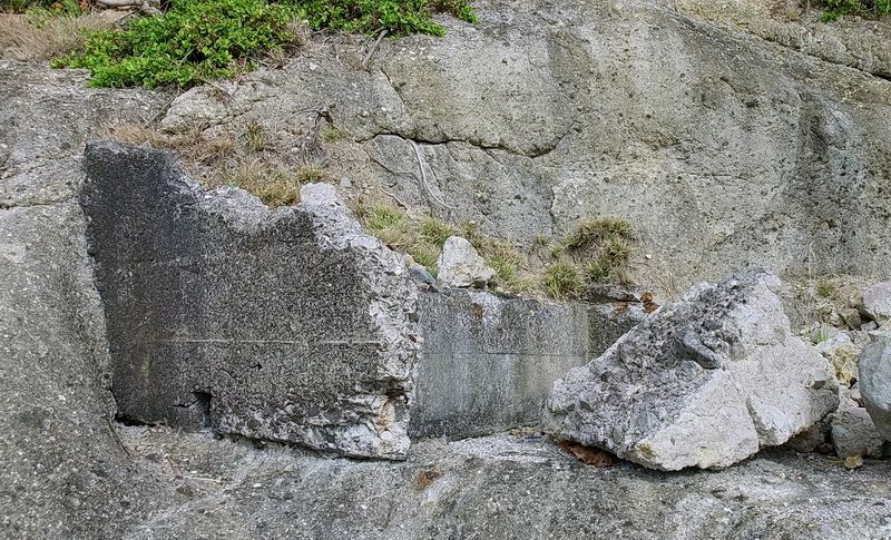
Remnants of VI-M-5.
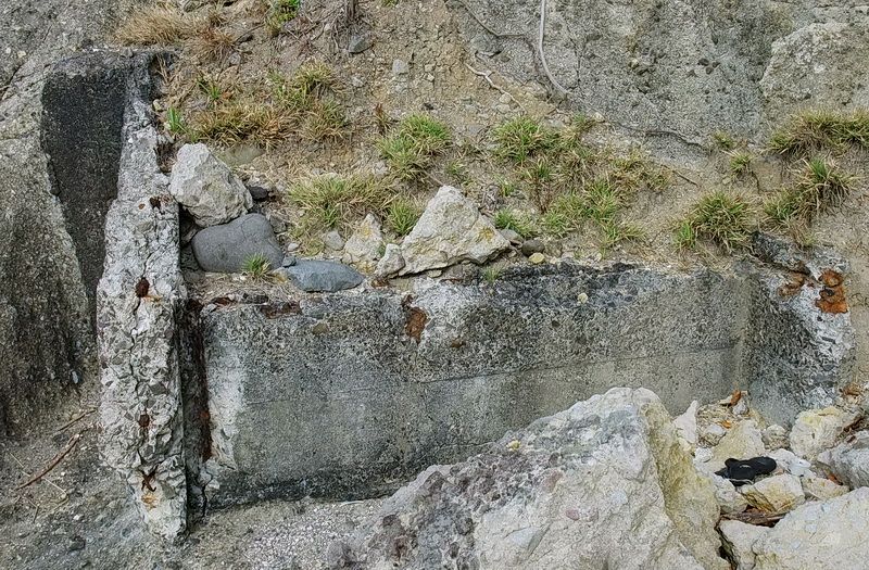
Another view of VI-M-5.
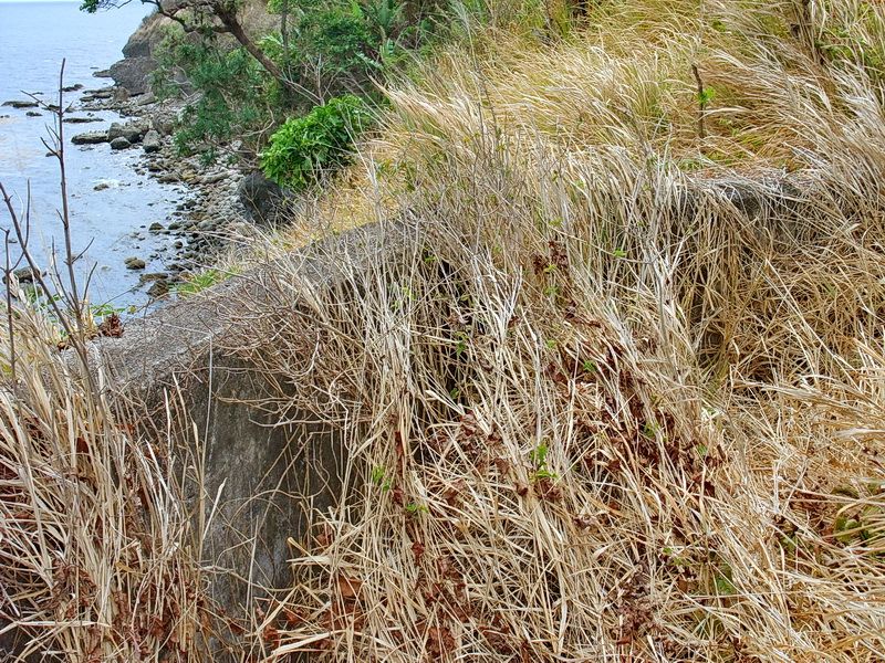
A grass covered wall of VI-F-4 near the Gun #1 position.
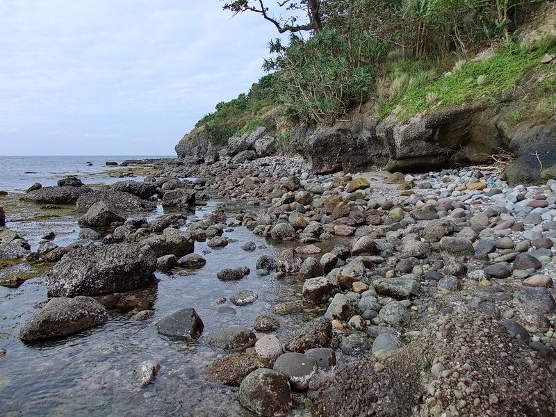
From Breakwater Point, this is the view looking westward.
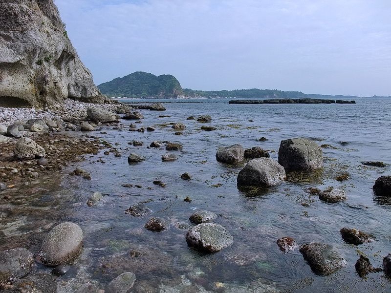
From Breakwater Point, this is the view looking eastward.
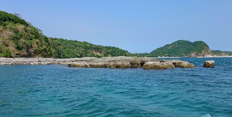
Our destination of Bottomside is clearly in view as we pass by Government Ravine. The big bump in the terrain is Malinta Hill.
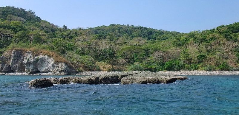
Looking directly into Government Ravine.
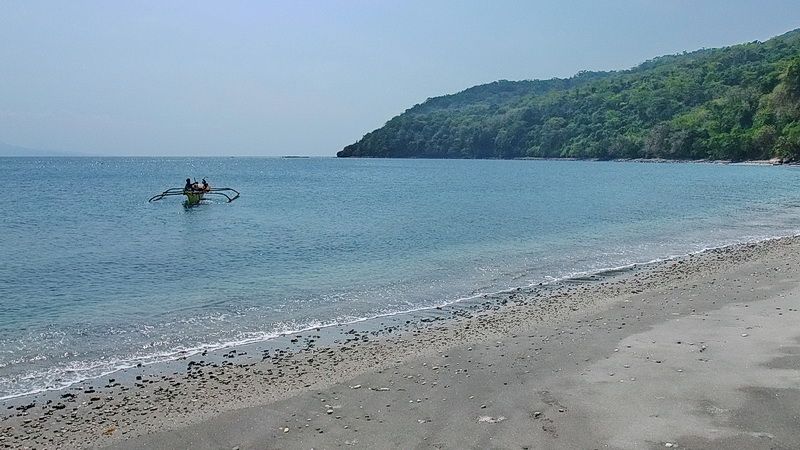
Back on Black Beach at Bottomside, the boat is heading back to where it picked us up.
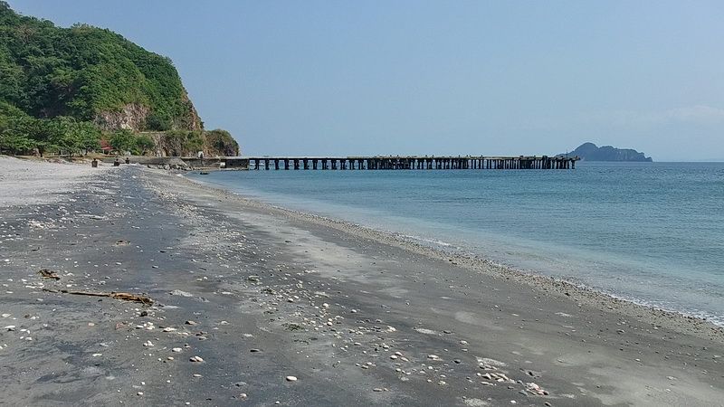
A quick look along Black Beach before we walk the final ten minutes or so to MacArthur’s Cafe.
We started walking from the Flagpole 7:20am and thanks to the boat, were sitting at Macs by 12:44pm. Our trek finished early this day but that feels good once in awhile.
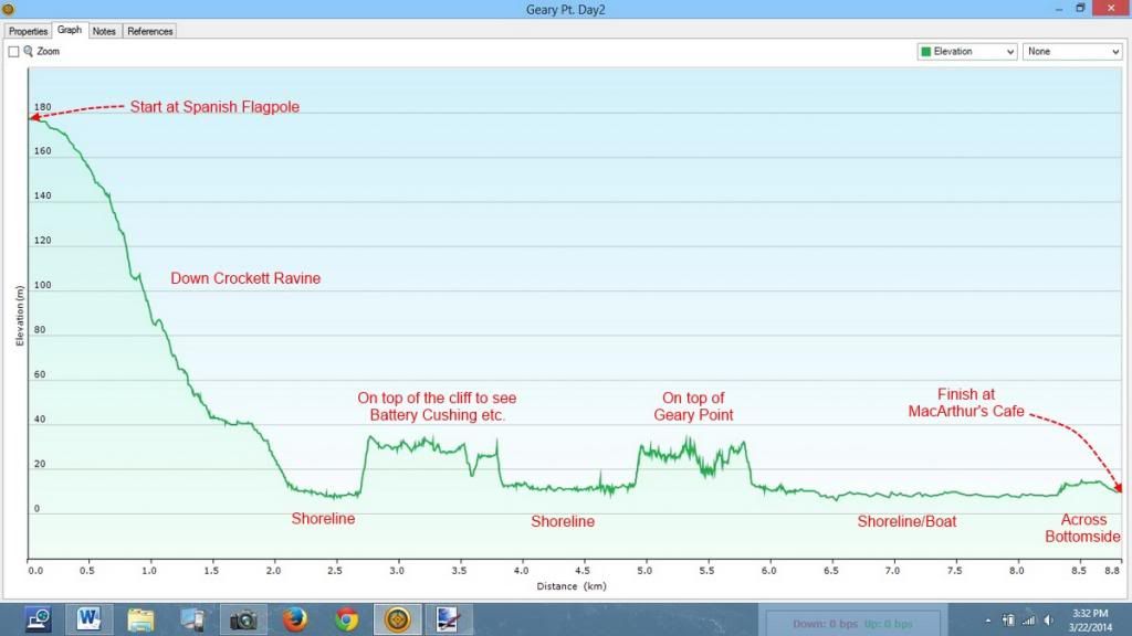
The following elevation graph shows our full day’s travels. (Note: I never calibrated the GPS’s altimeter and it was reading about +7m above the actual elevation. The differences in elevation are accurate though). Fortunately we did not have to climb back up Crockett Ravine and then walk all the way down to Bottomside after that. Thanks Karl, it was another good day on The Rock.
